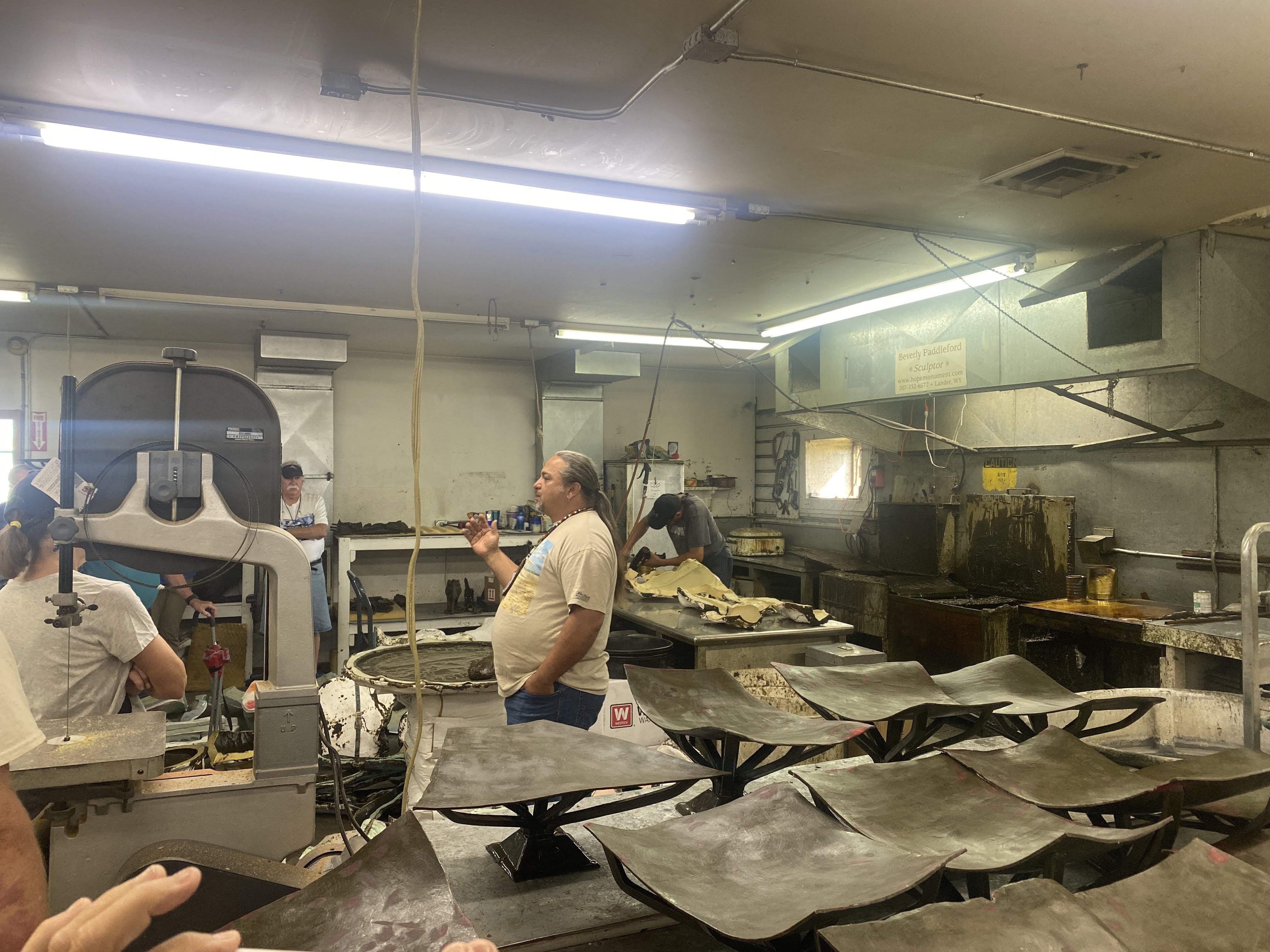
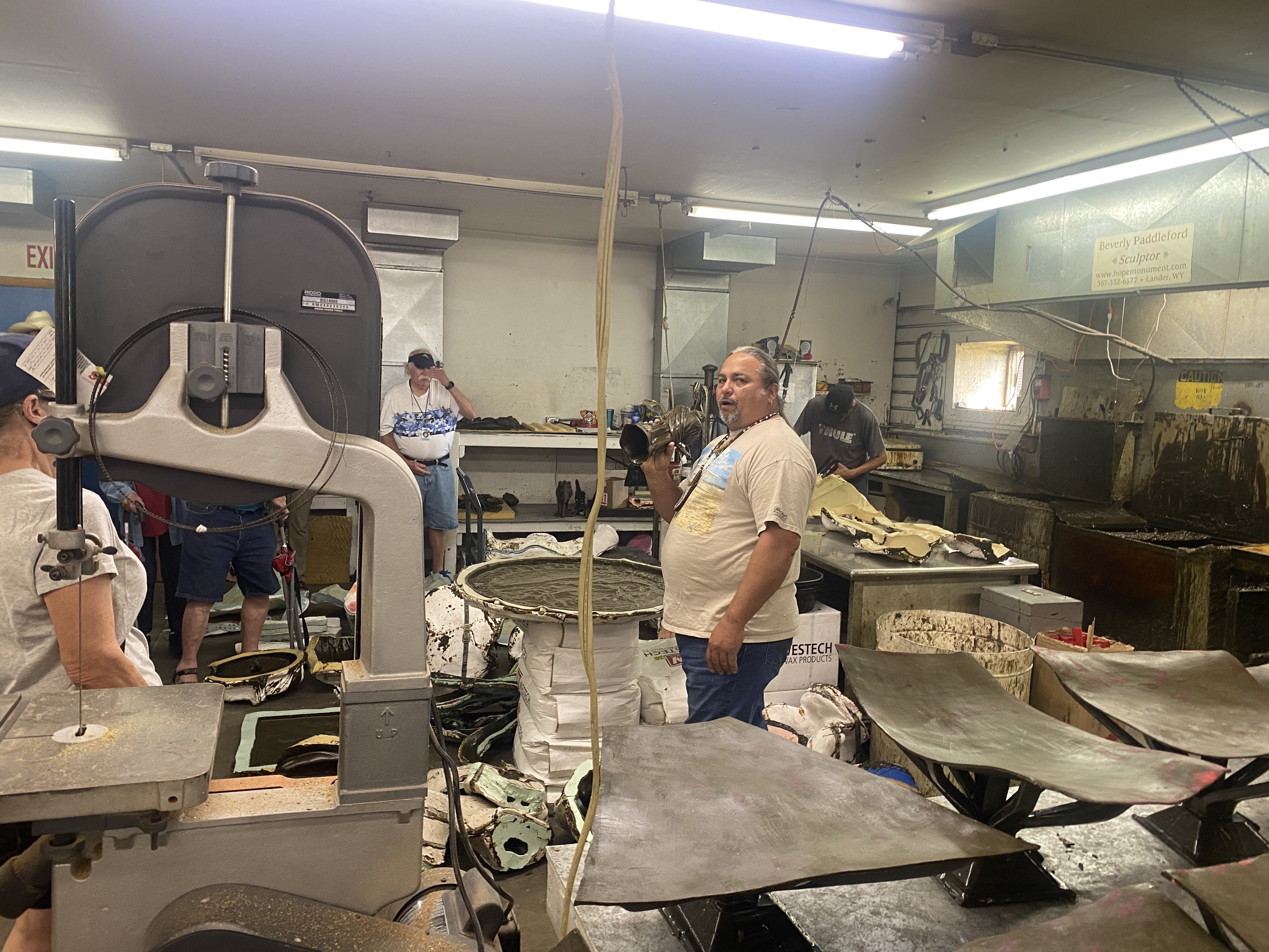
We had a big variety of tours and sights today. We started at the Eagle Bronze Foundry and Gallery…
We were given an extensive tour of the foundry, with all the steps and processes explained, from the artist’s concept in a small model, which is scanned into a special 6d computer model, to full size mockups, to sectioning the mockups to 30″ x 30″ sections, adding clay and wax, and casting the bronze at 2100 degrees… It is an amazingly complex process…
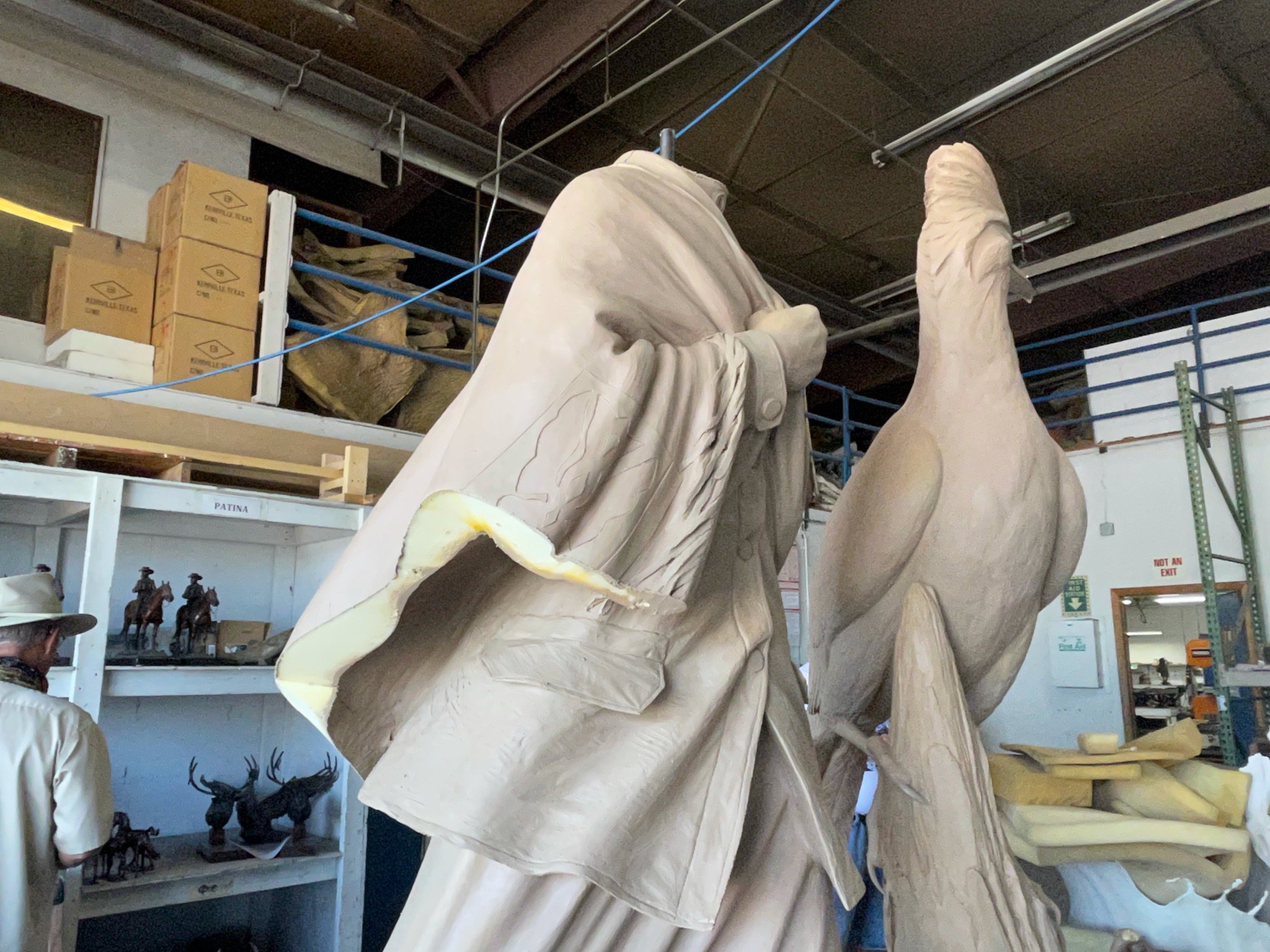
Examples of foam and latex molds…
The sand castings, with the wax melted out, ready to cast the bronze…
Completed castings being reassembling into the finished monument…
Coloring, adding patina, and finishing…
It was fascinating tour! It is an amazingly complex process…!
And then we moved on. We went to Sinks Canyon State Park. This is the site of the “vanishing river”…
The river flows through these rocks, into a shallow cave, and the water disappears… This is called “The Sink”…
We found that the water falls through cracks and fissures underground, until about two hours later it reappears in a pond about a quarter mile away…
As we walked we marveled at these shear rock canyon walls…
We found the pond (The Rise). It was peaceful and serene…
One other thing that flows underground and comes up in this pond are Rainbow Trout!
These trout are 16-24 inches long!
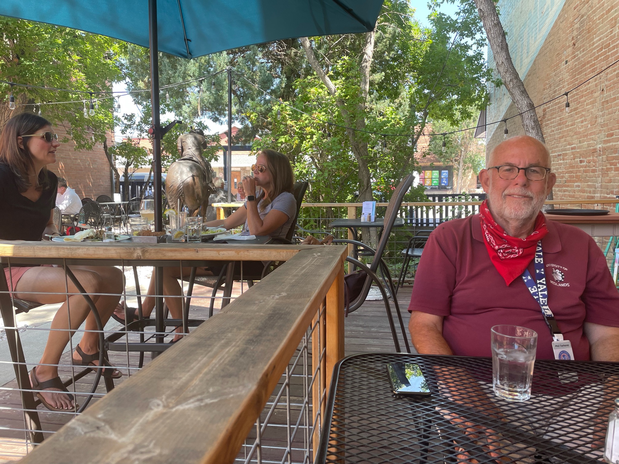
Since no fishing was allowed we drove back to downtown Lander. It is a typical small downtown, struggling to stay viable…
We had lunch at Middle Fork, a nice little restaurant downtown. It was barely not too hot to sit outside…
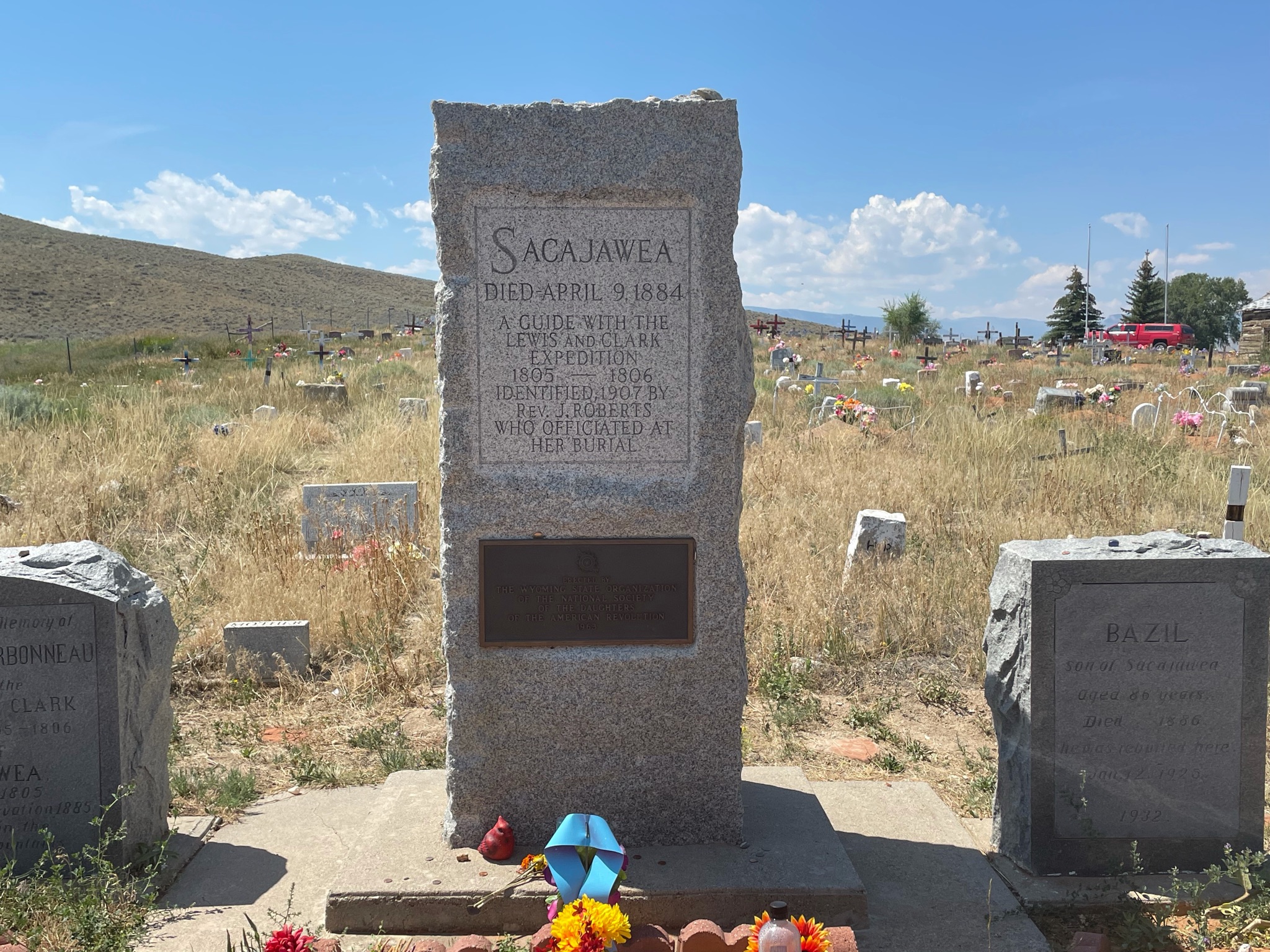
After lunch we drove a few miles north to the Sacajawea Cemetery…
Sacagawea (/ˌsækədʒəˈwiːə/ or /səˌkɑːɡəˈweɪə/; also spelled Sakakawea or Sacajawea; May c. 1788 – December 20, 1812 or April 9, 1884) was a Lemhi Shoshone woman who, at age 16, helped the Lewis and Clark Expedition in achieving their chartered mission objectives by exploring the Louisiana Territory. Sacagawea traveled with the expedition thousands of miles from North Dakota to the Pacific Ocean, helping to establish cultural contacts with Native American populations and contributing to the expedition’s knowledge of natural history in different regions.
Note that there is uncertainty as to when she died. She was either 24 or 95. Accordingly, there are two burial sites to be found… This one in Wyoming, and another in South Dakota. You pick…
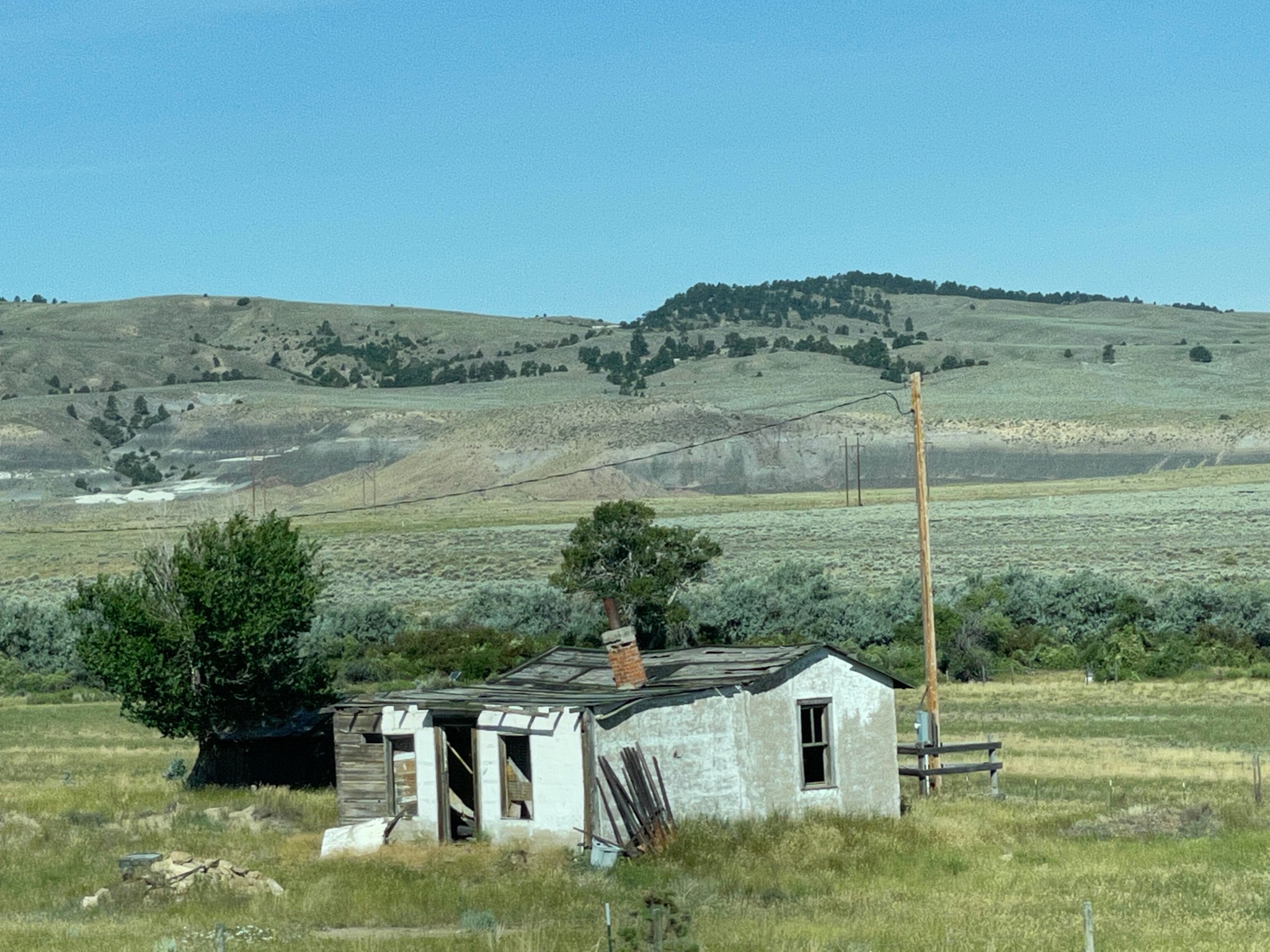
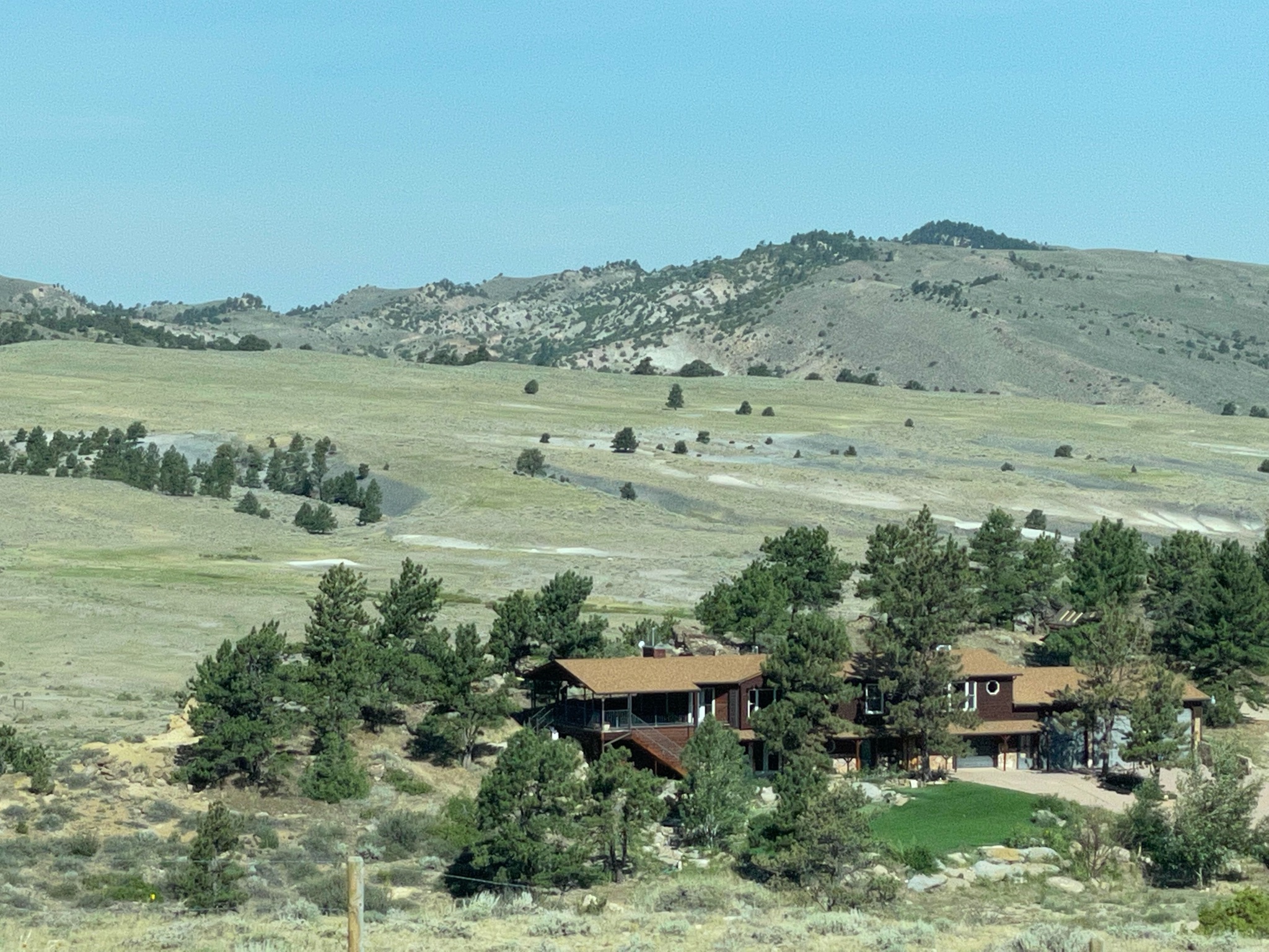
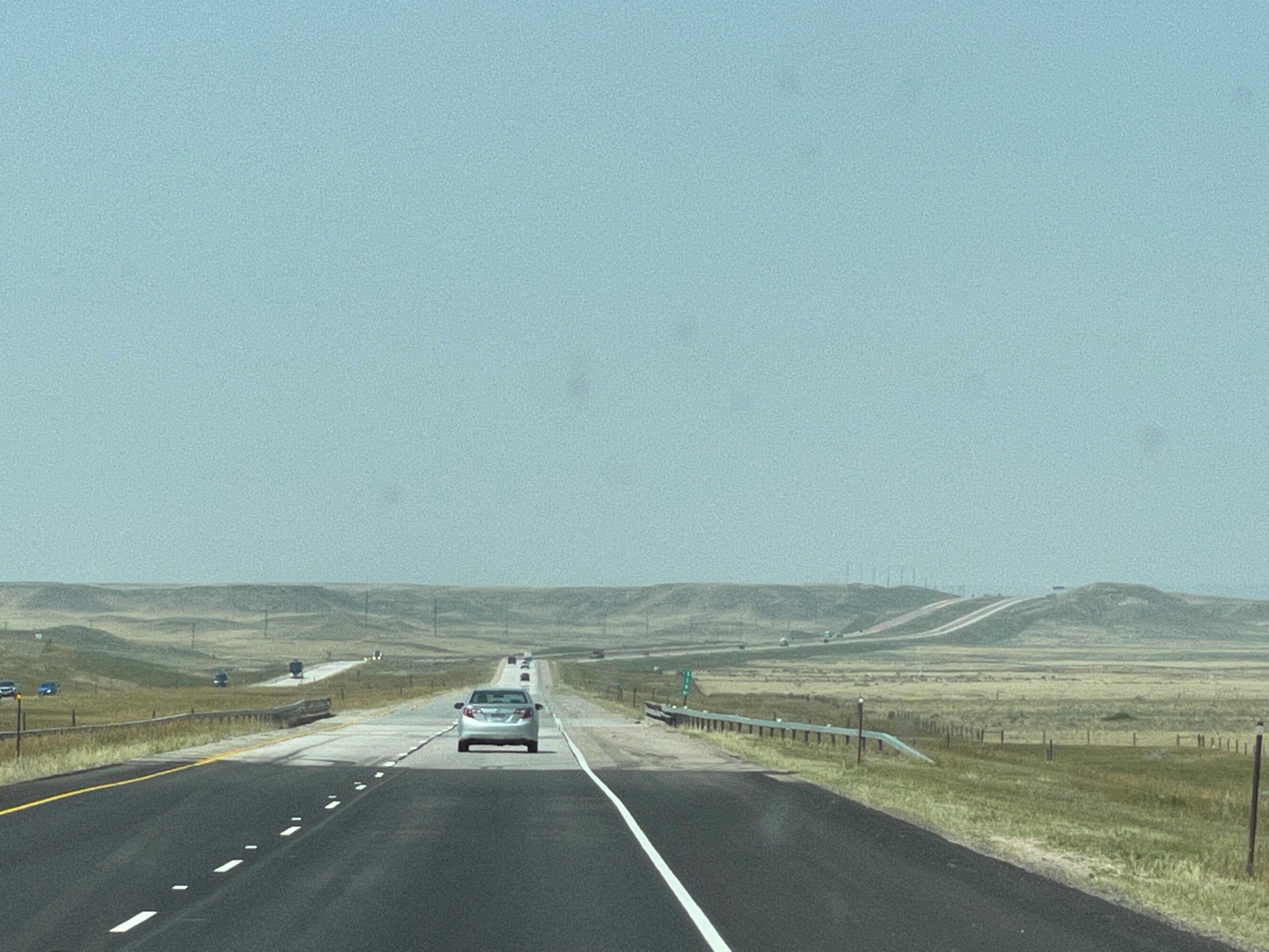
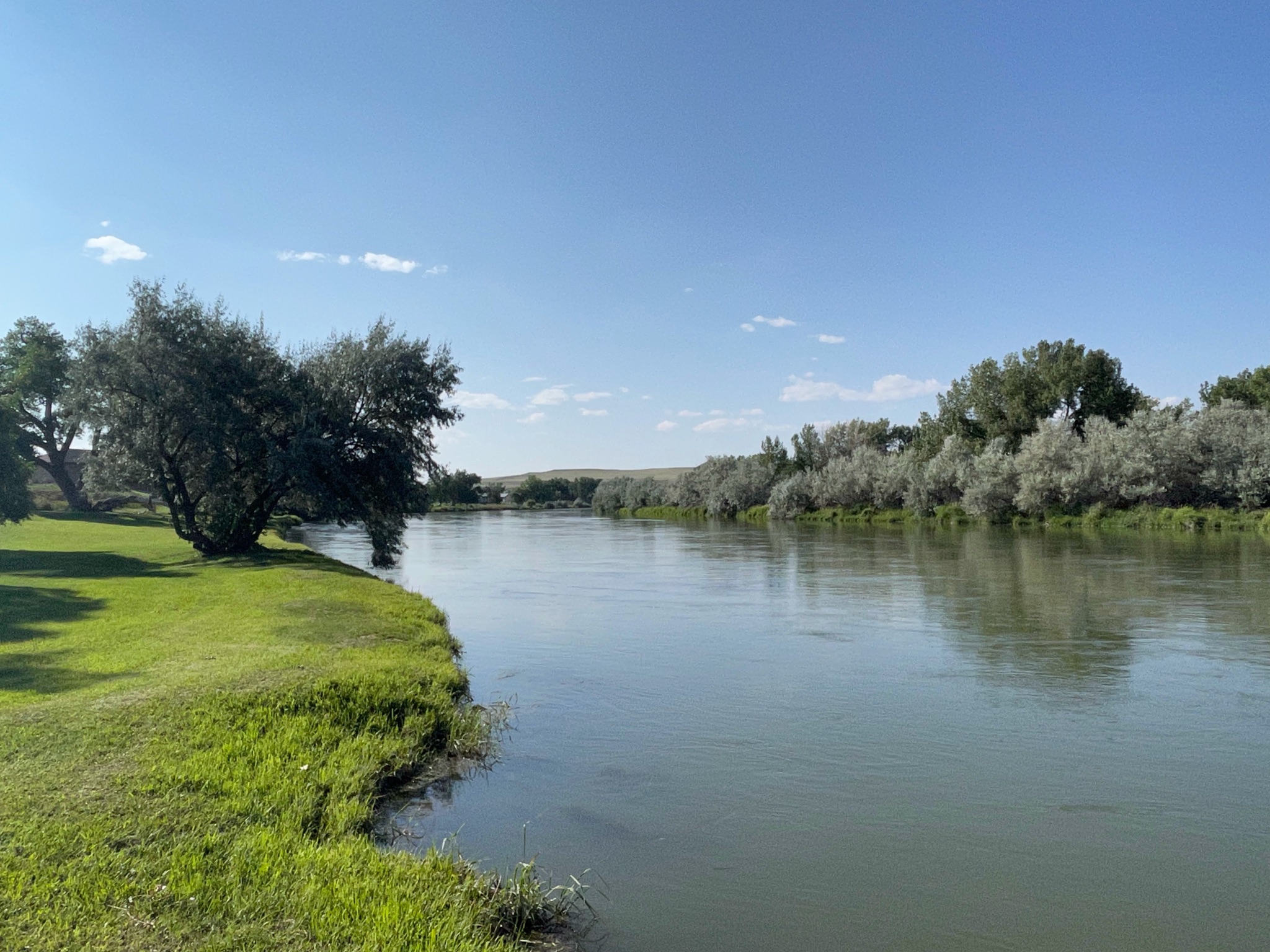
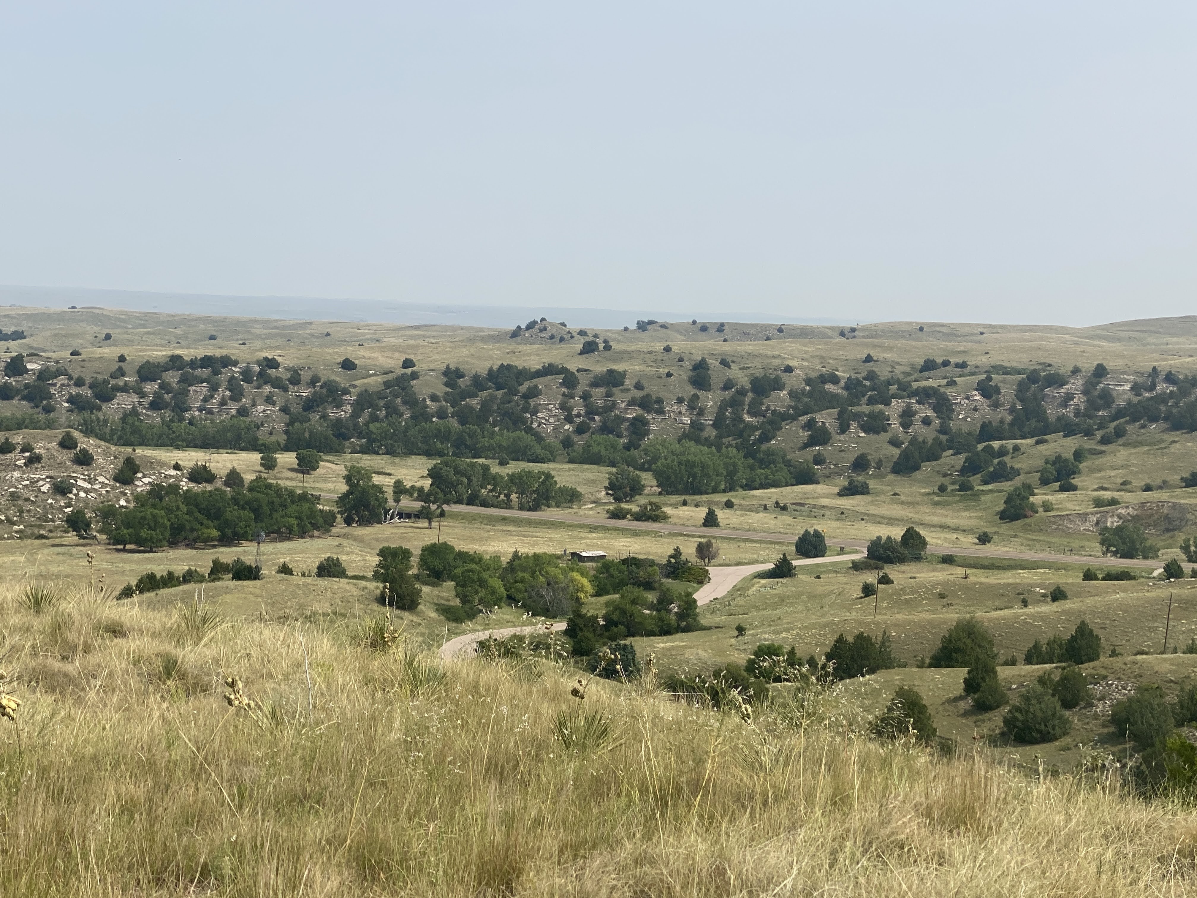
We drove back to the VIlla. Lots of nice countryside here…
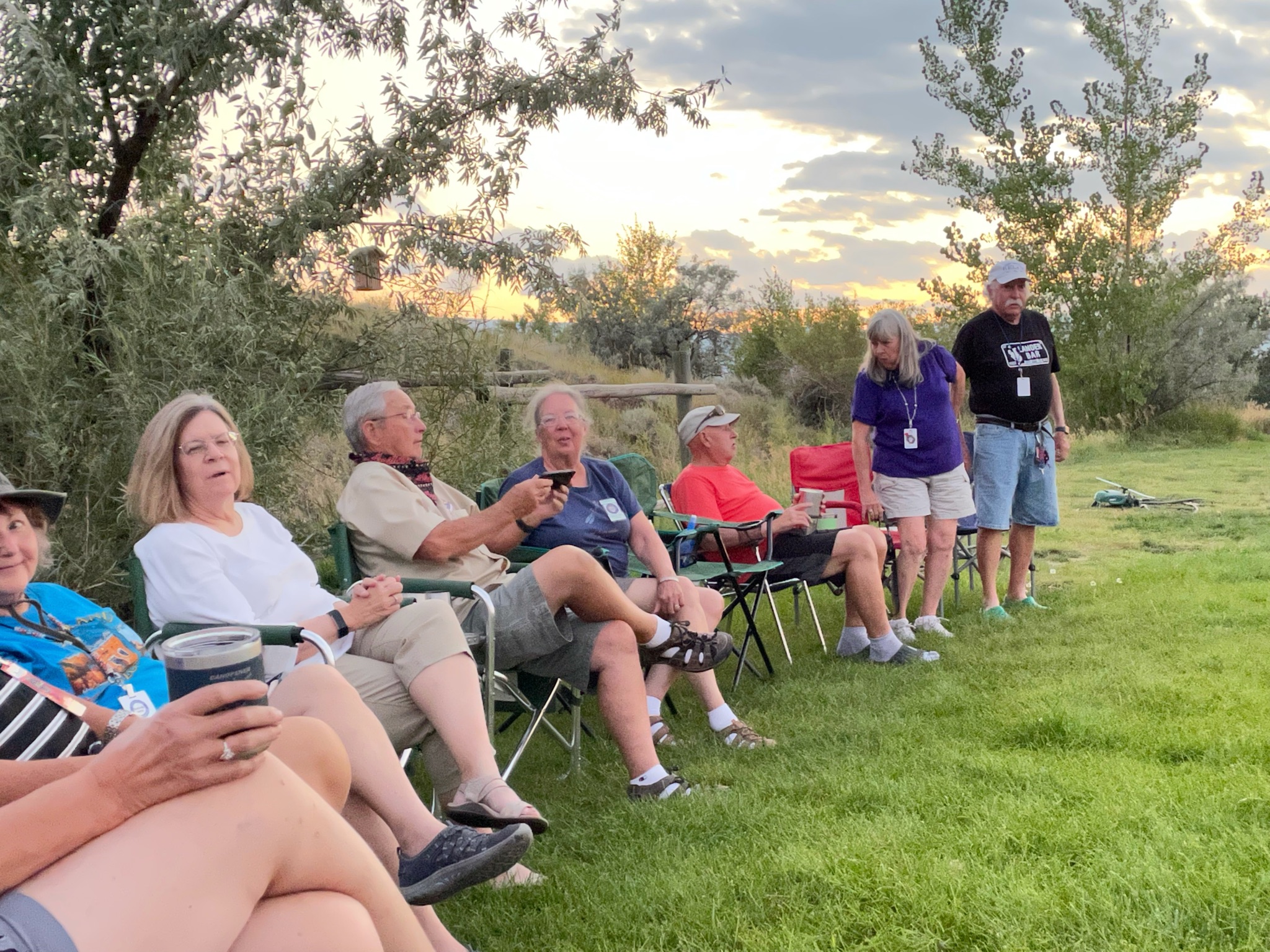
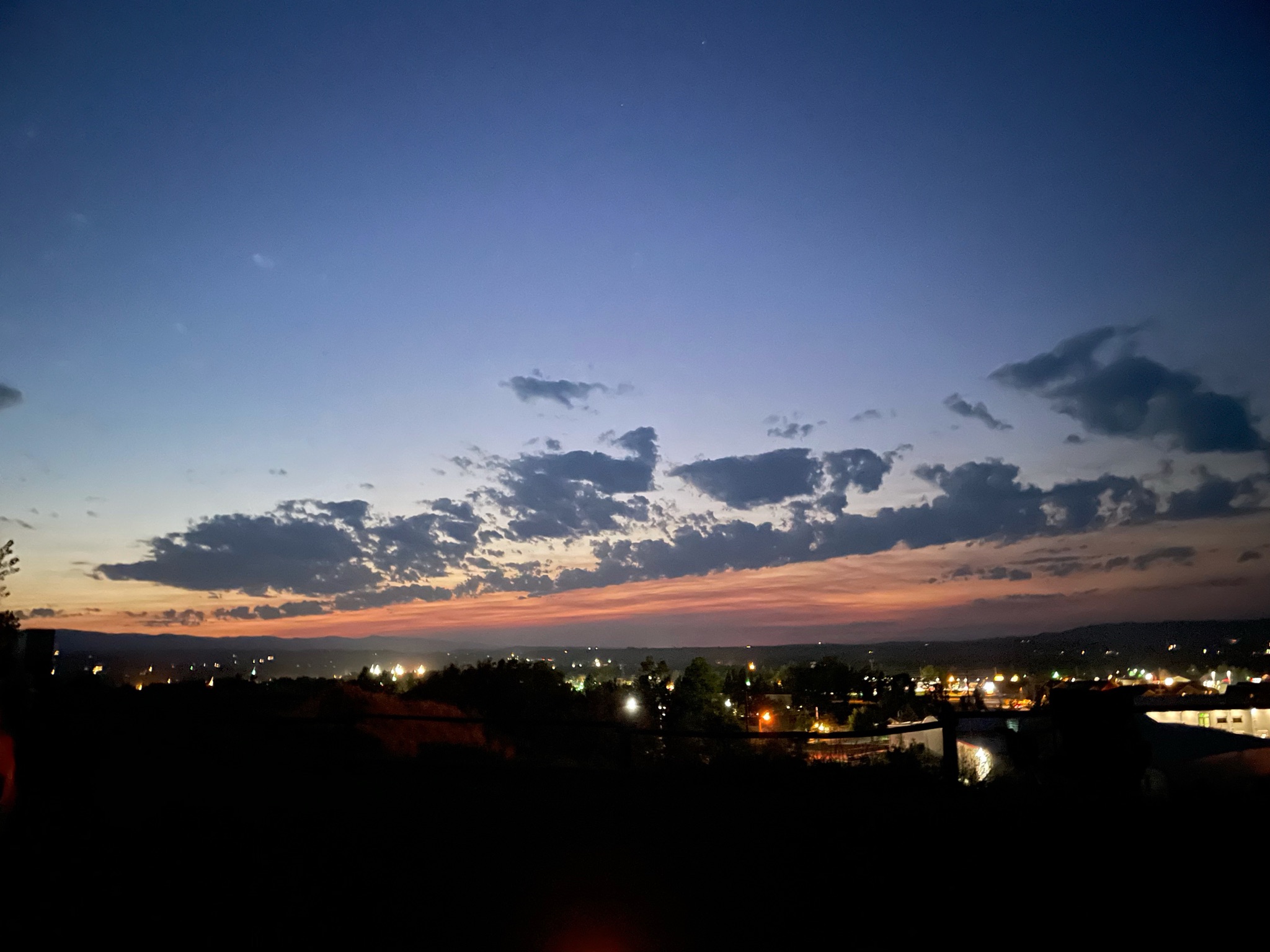
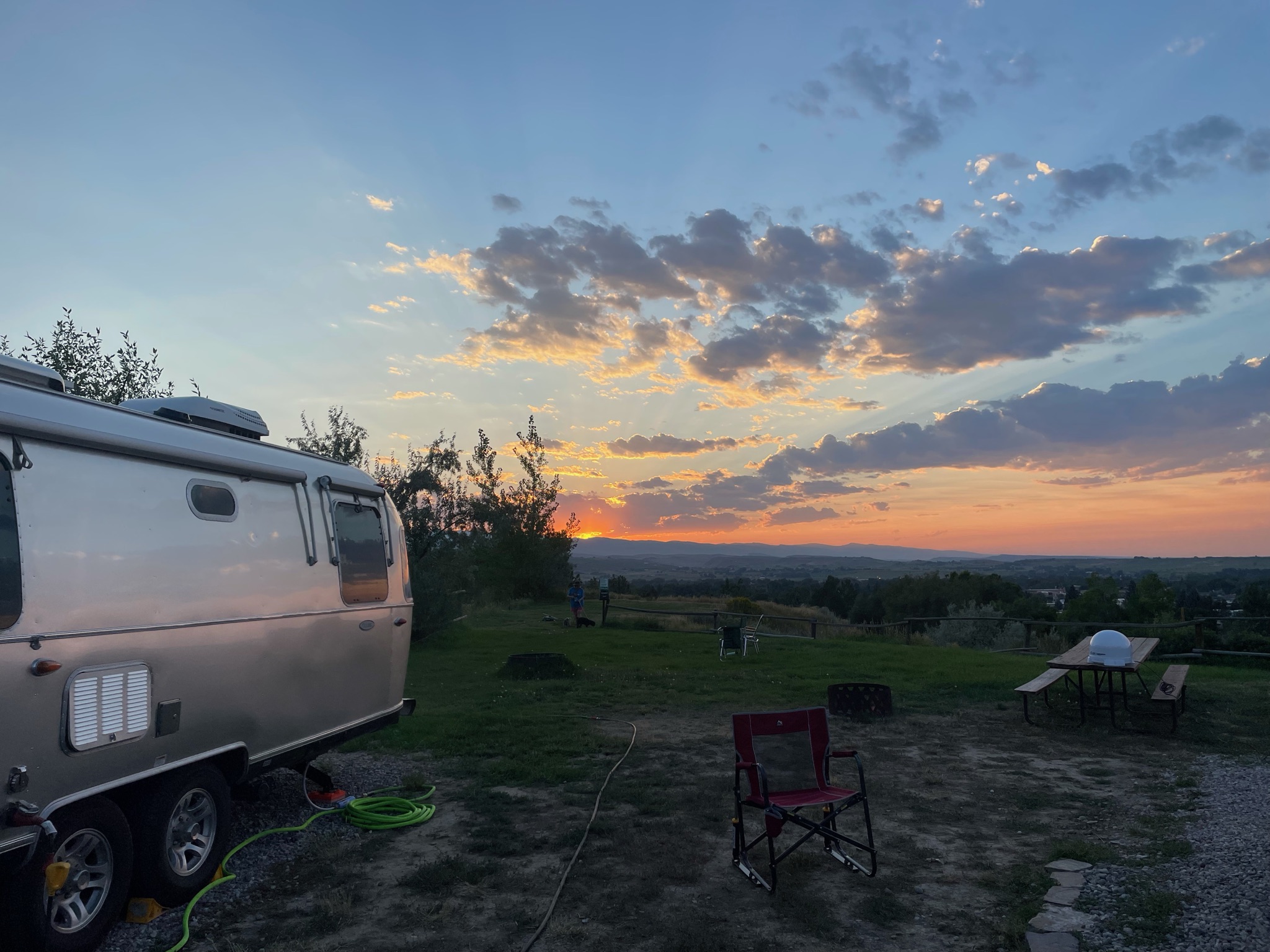
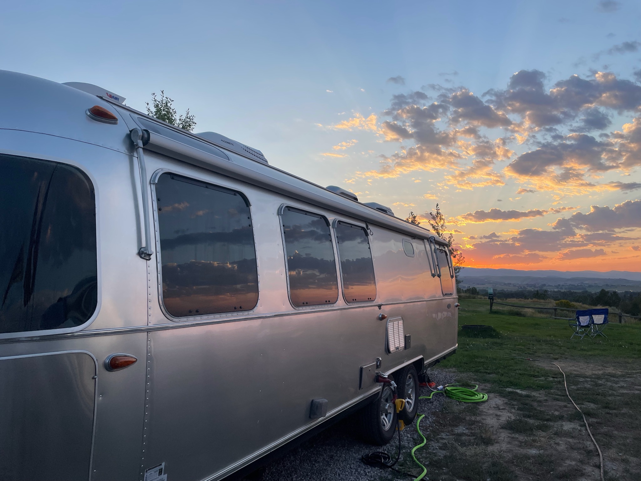
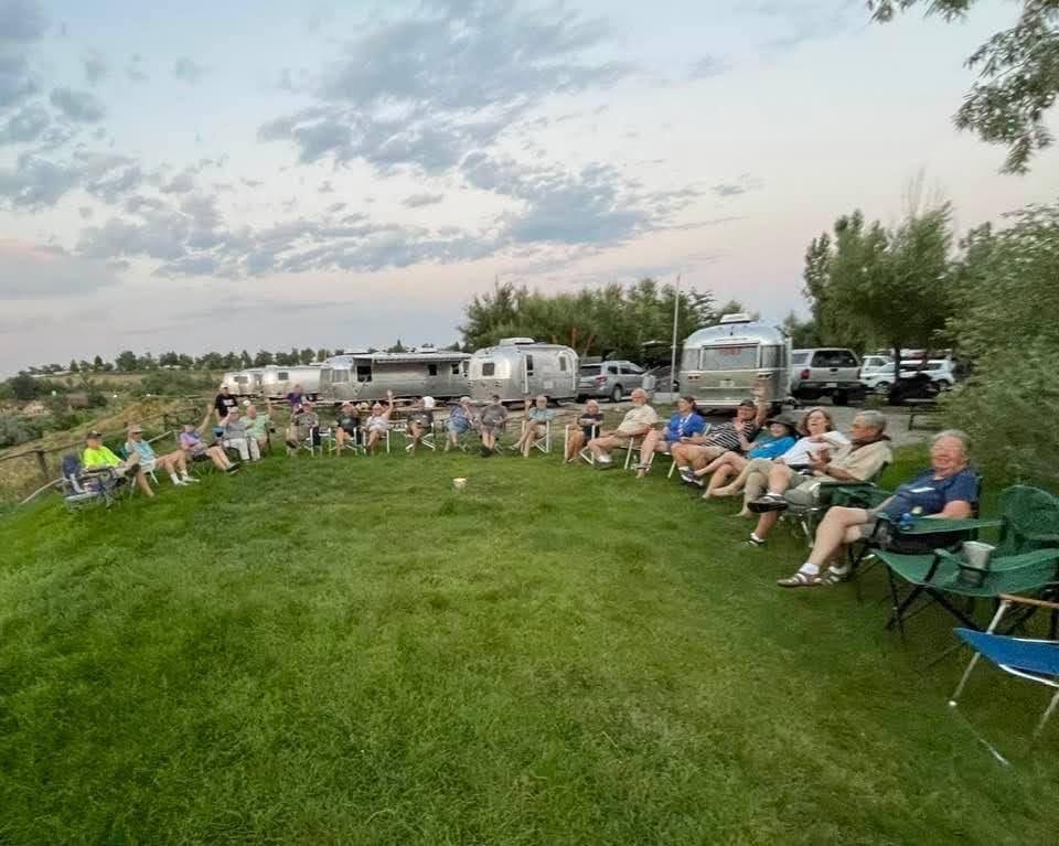
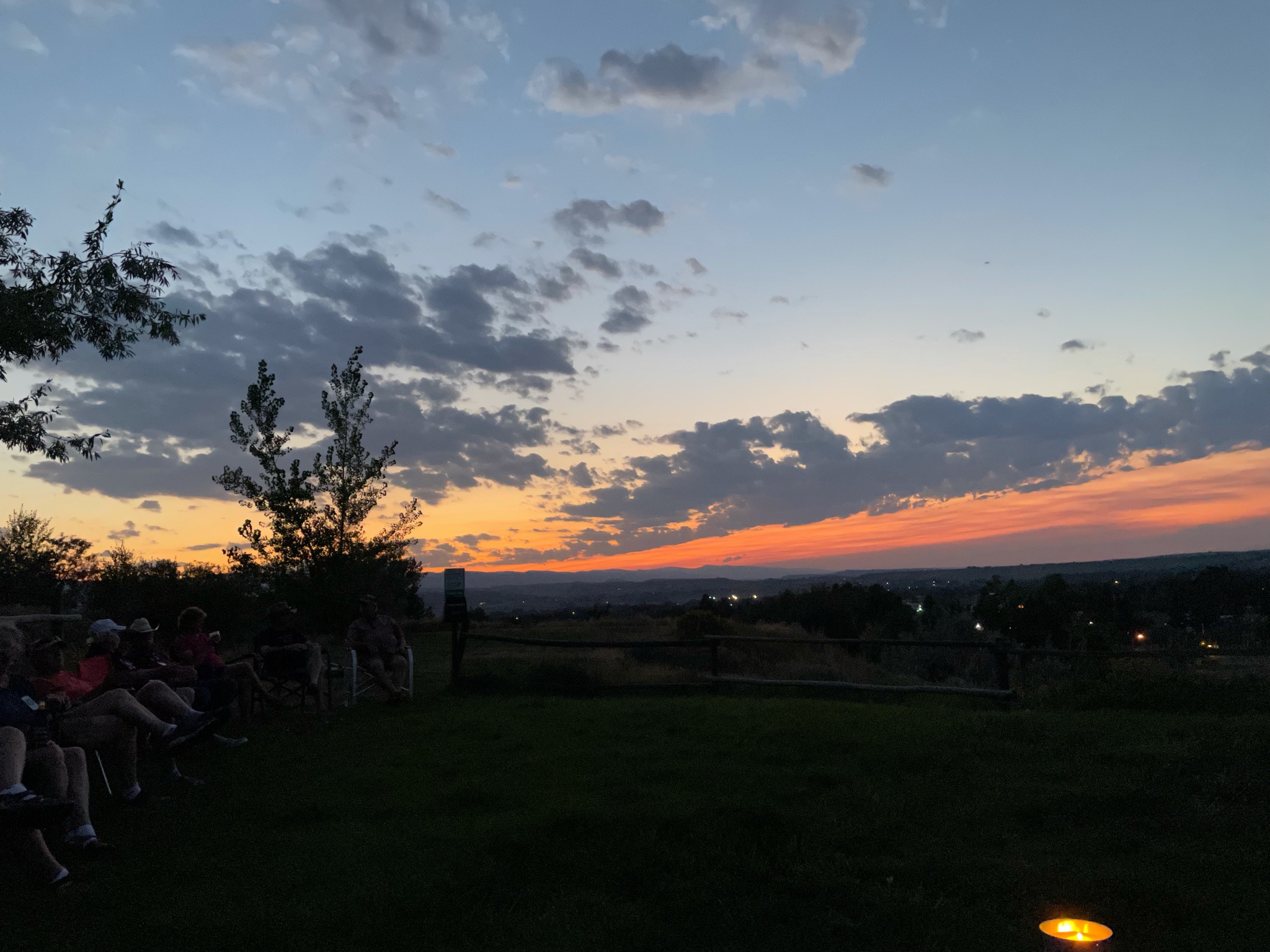
This evening we joined many other Airstreamers for Happy Hours while we watched the sunset…
We move along today to see some unique sites along the Oregon Trail…
But first we pass some rural, tranquil neighborhoods…
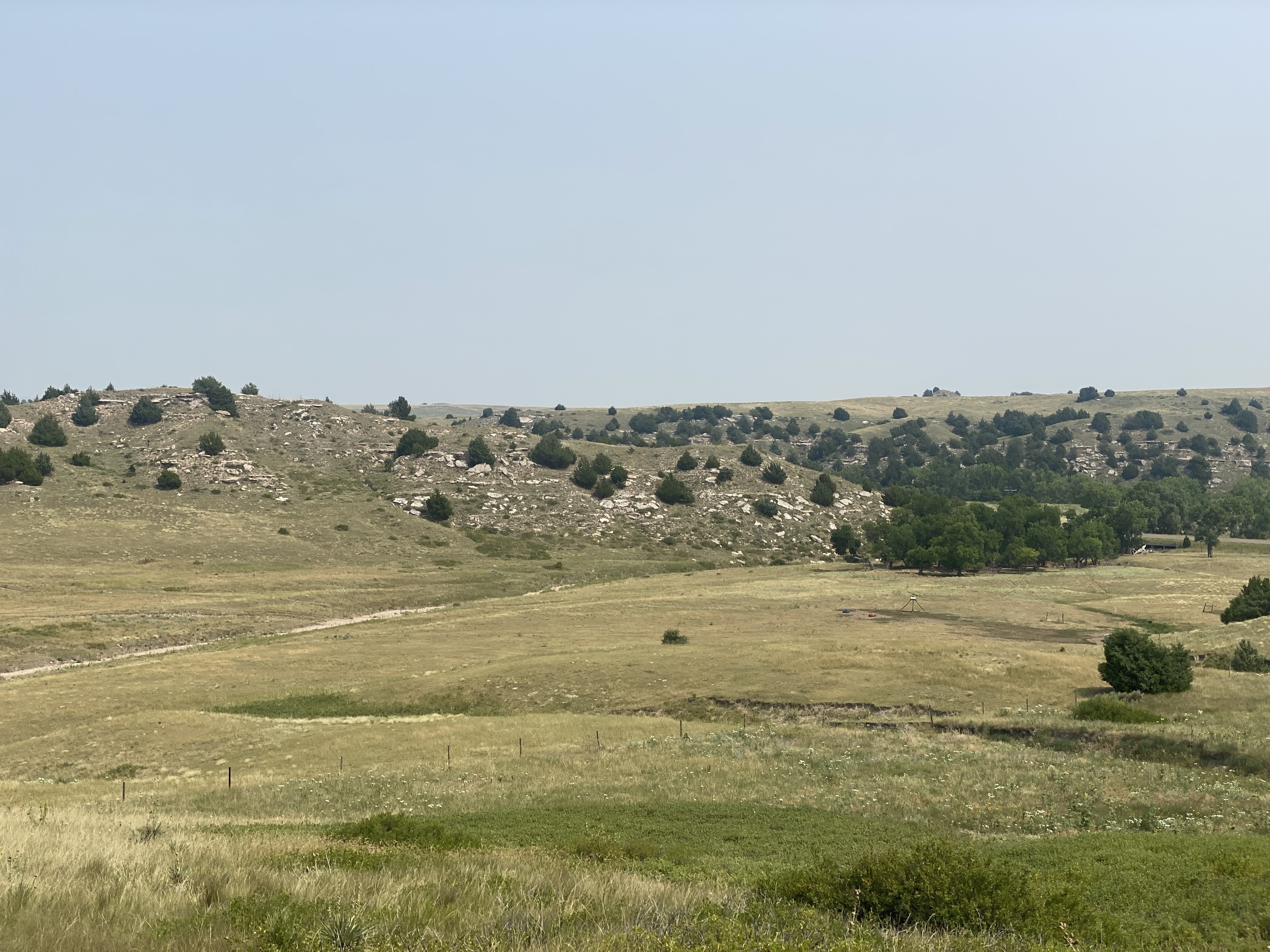
We saw some red bluffs; most emigrant diarists mentioned them along the way…
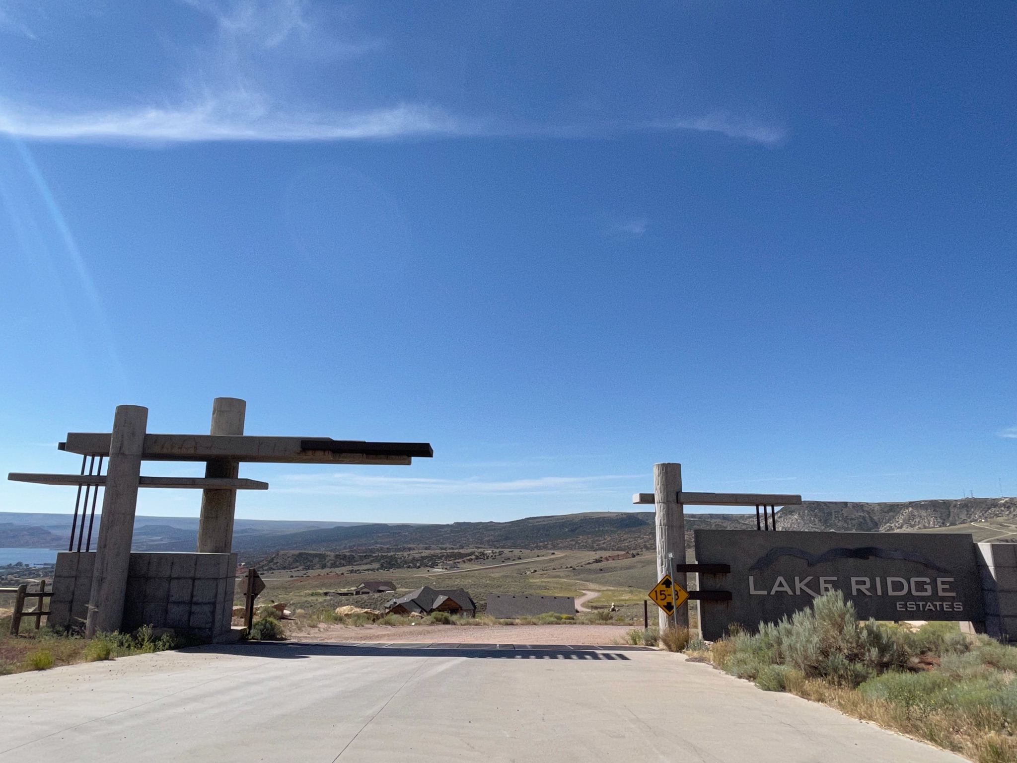
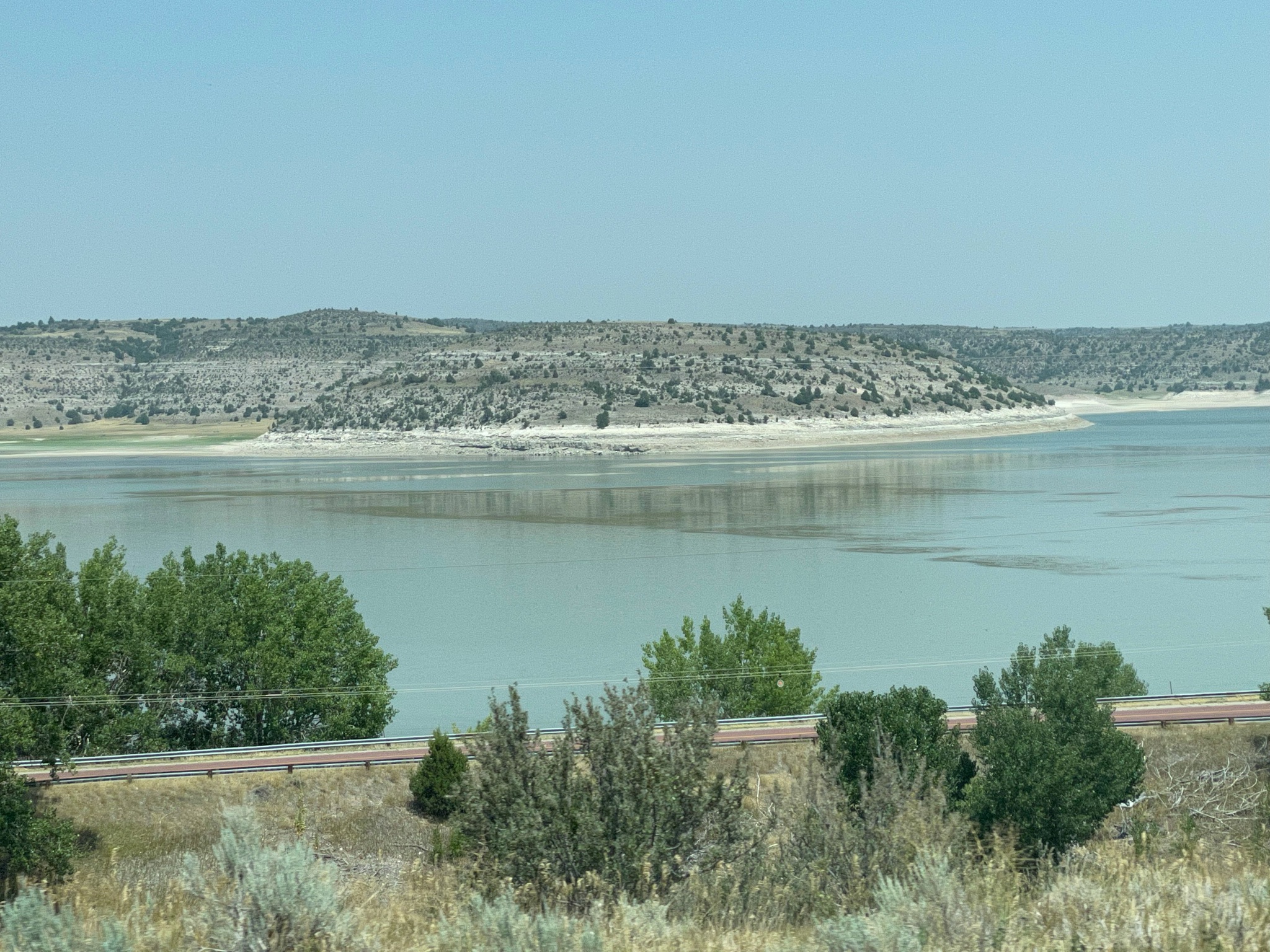
We stopped at a pull-out to look at the Pathfinder Reservoir. We also found this lovely estate development. Homesites 7-20 acres, from $11,000 per acre. Bargain!
Here is the non-gated entry…
Here is the Pathfinder Reservoir
Here is the Villa…
As we were leaving the pull-out three other Airstreams came by. About a mile down the road we had a construction zone, with very slow traffic, allowing us to get some good pictures…
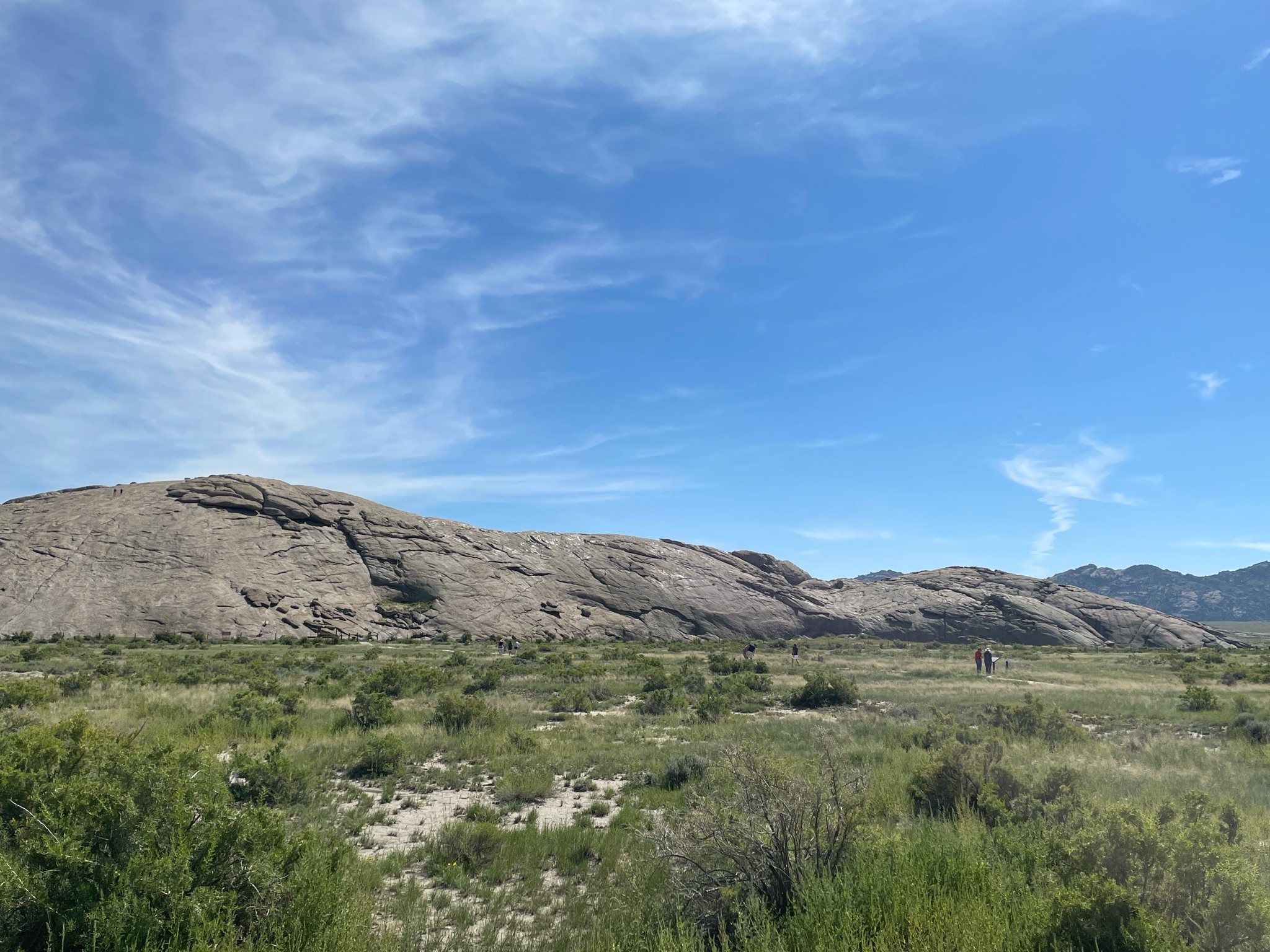
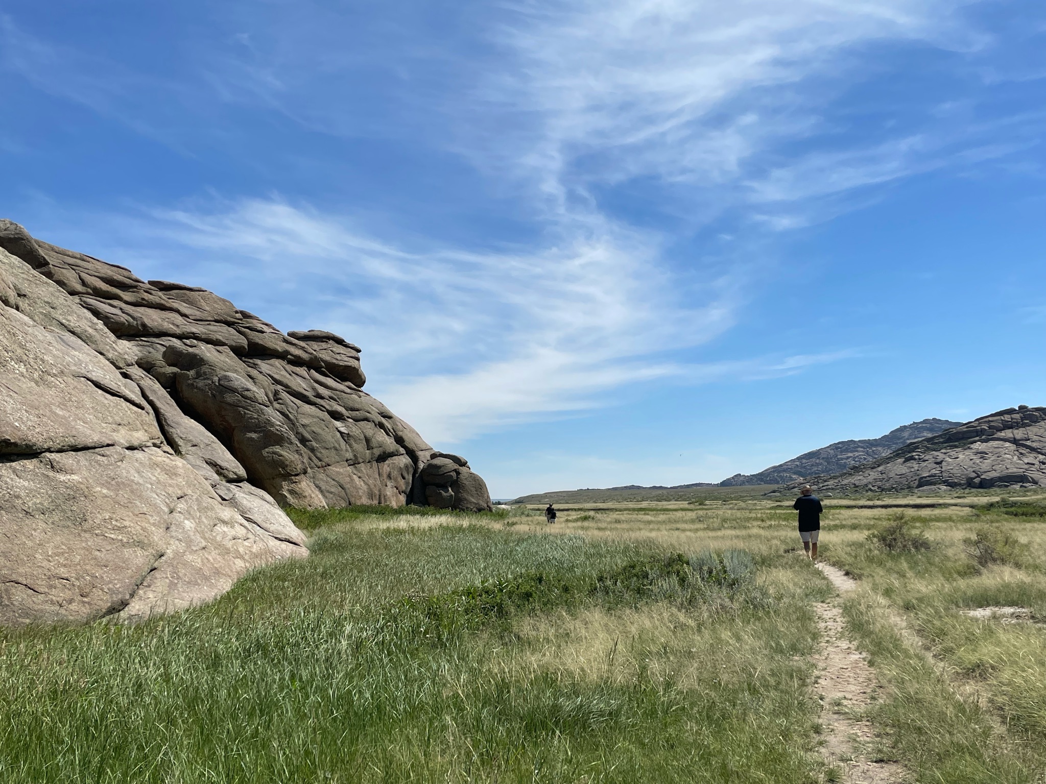
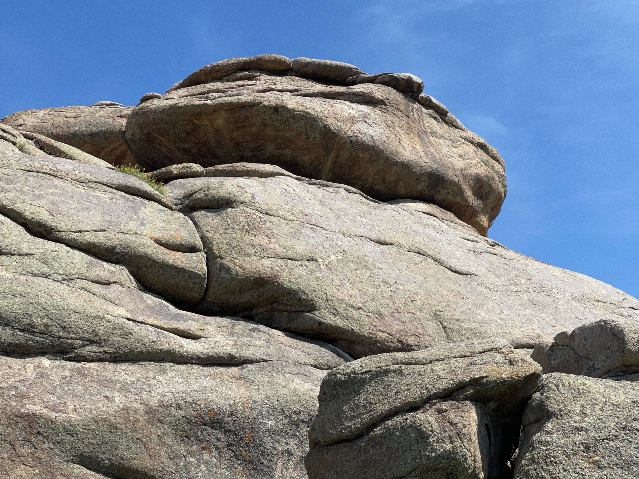
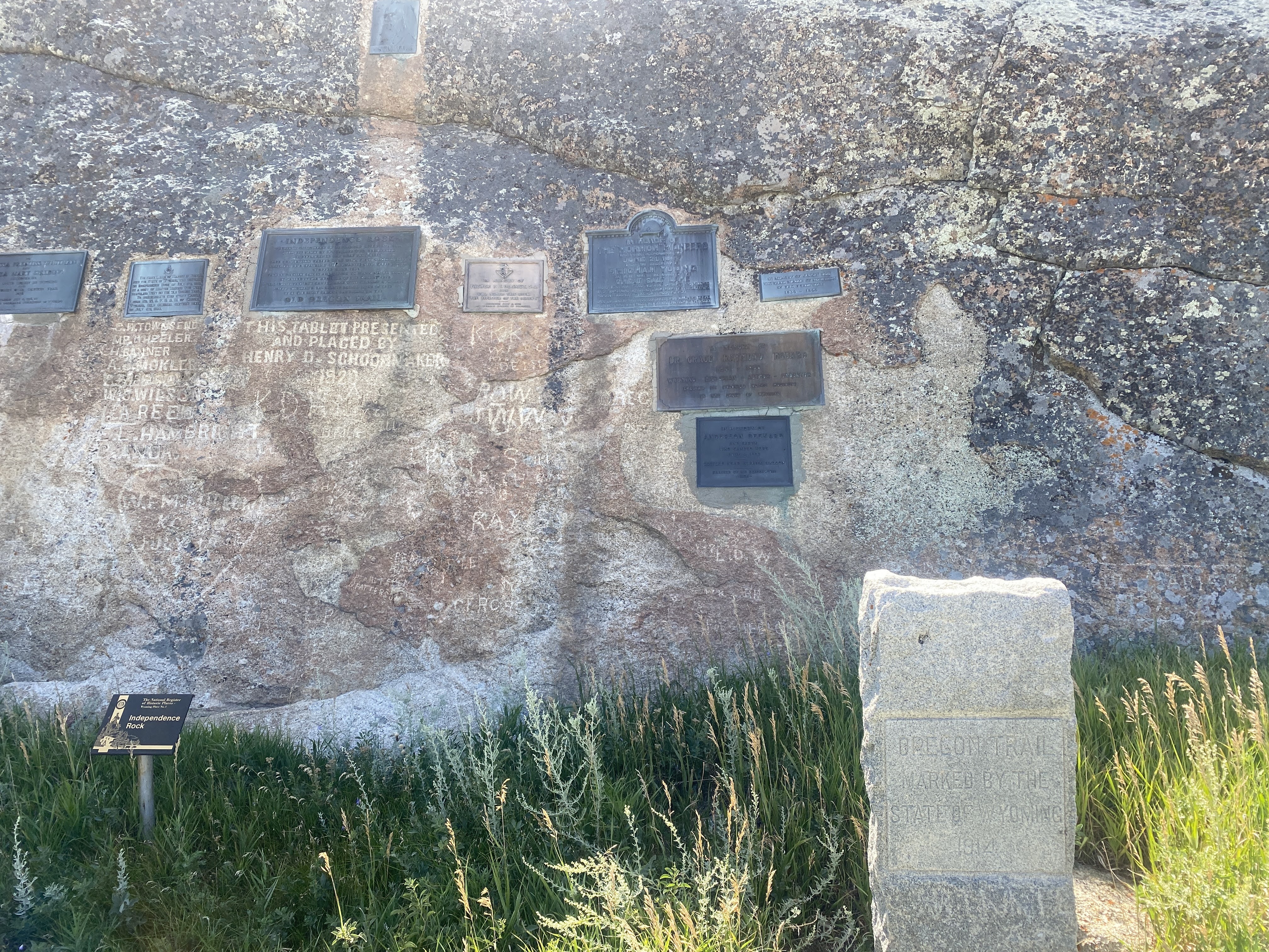
Our main stop for the day is Independence Rock. A big ol’ rock in the middle of the prairie… Of course we stopped to take a look…
The significance of the rock has many facets. First of all, walking 20 miles per day across the endless prairie was very monotonous. Anything unusual caught the emigrants’ attention. This big rock certainly is unusual. Also, the emigrants’ goal was always to reach Independence Rock by Independence Day – July 4. It was important for the emigrants to celebrate the 4th, and this area gave the emigrants space, water, and game to rest for a day or two. Importantly, Independence Rock is just about one half way between Independence, MO, where most of the emigrants set off to Oregon City, OR. Finally, many of the emigrants painted, scratched, or chiseled their names into the rock. Historians have been all over the rock to collect the various signatures and to correlate them with known emigrants and their diaries…
We walked around and onto the rock looking for names. No one we know… Most of the painted or scratched names have been worn away by the weather…
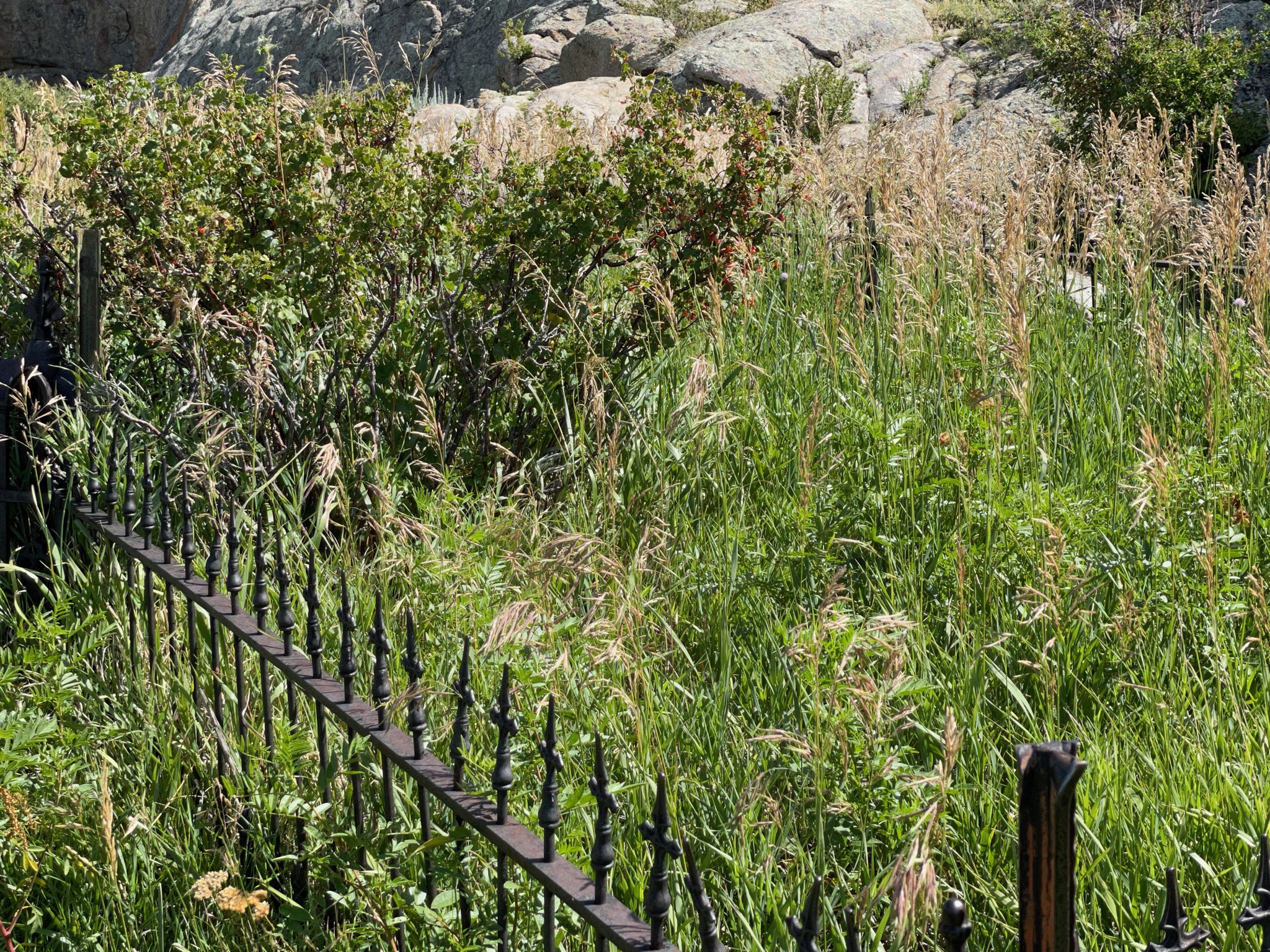
There is a grave here, fenced off…
“Look! Over there!”
We walked ALL AROUND the rock…
On the opposite side of the rock are various placques placed by various historic societies and donors. There have been several Boy Scouts of America “Camporees” here over the years, so BSA also has many placques…
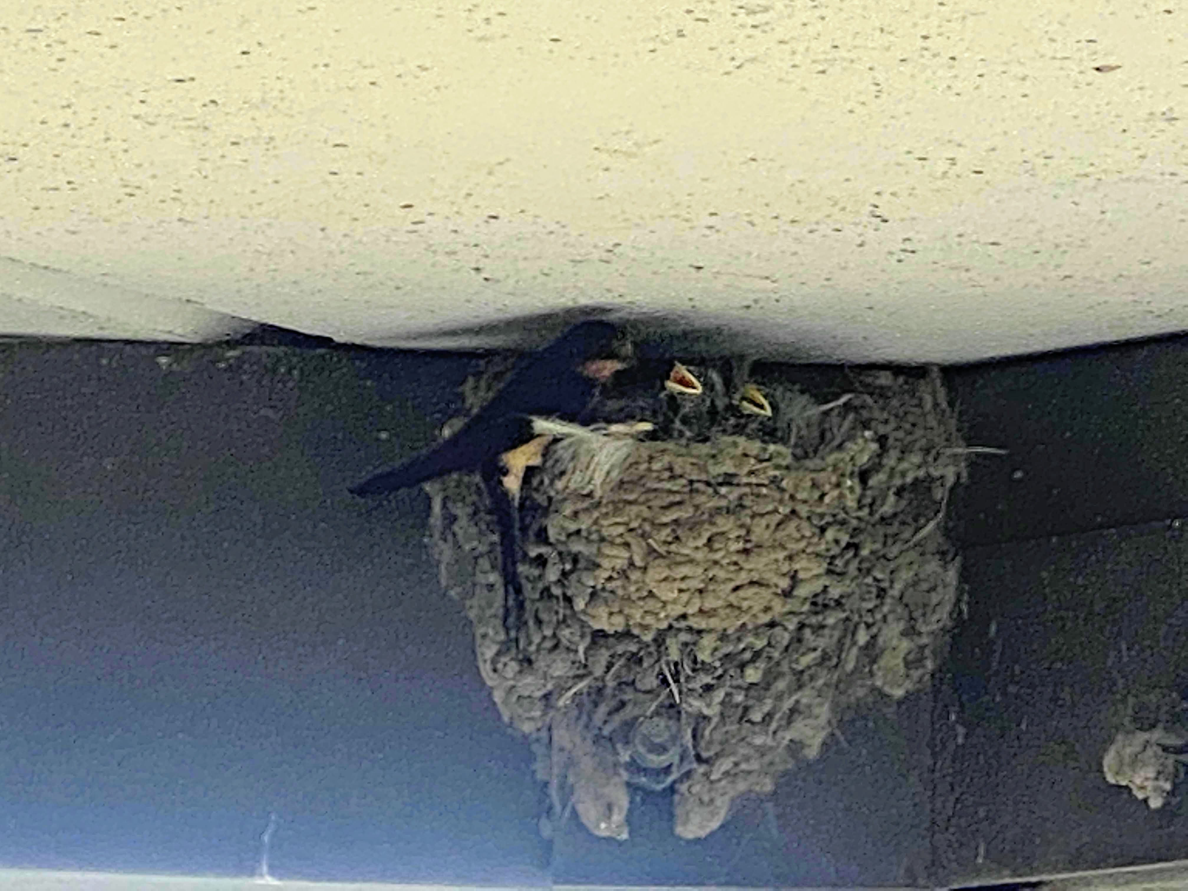
After enjoying the rock we walked back to the entrance. We stopped to watch these birds in a mud nest under the eaves of the visitors center…
We returned to the Villa and drove about four miles down the road to Martin’s Cove. This is an historic site ownered and leased by the Mormon Church. The site commemorates the caravans of Mormons heading to the Great Salt Lake Valley. They could not afford covered wagons so they used hand carts to carry their worldly possessions. They endured many hardships, and up to as many as 25% of them died along the trails.
One feature of the site is the Devil’s Gate – a gap in the rock that allowed the wagons and handcarts through these mountains…
There is also a reproduction of an early fort that the Mormons used to protect themselves from the extreme cold. Portions of the fort were burned to keep the people warm…
And so we traveled on. Another landmark helping the emigrants find their way is the Split Rock. The trail turned here as it approaches the Rocky Mountains to the west. Split Rock pointed the travelers to the South Pass, the easiest way through the Rockies…
About 15 miles further we stopped to see… the back side of Split Rock…
And we are on the road. We caught up to a convoy of seven other Airstreams for our last leg into the town of Lander, WY…
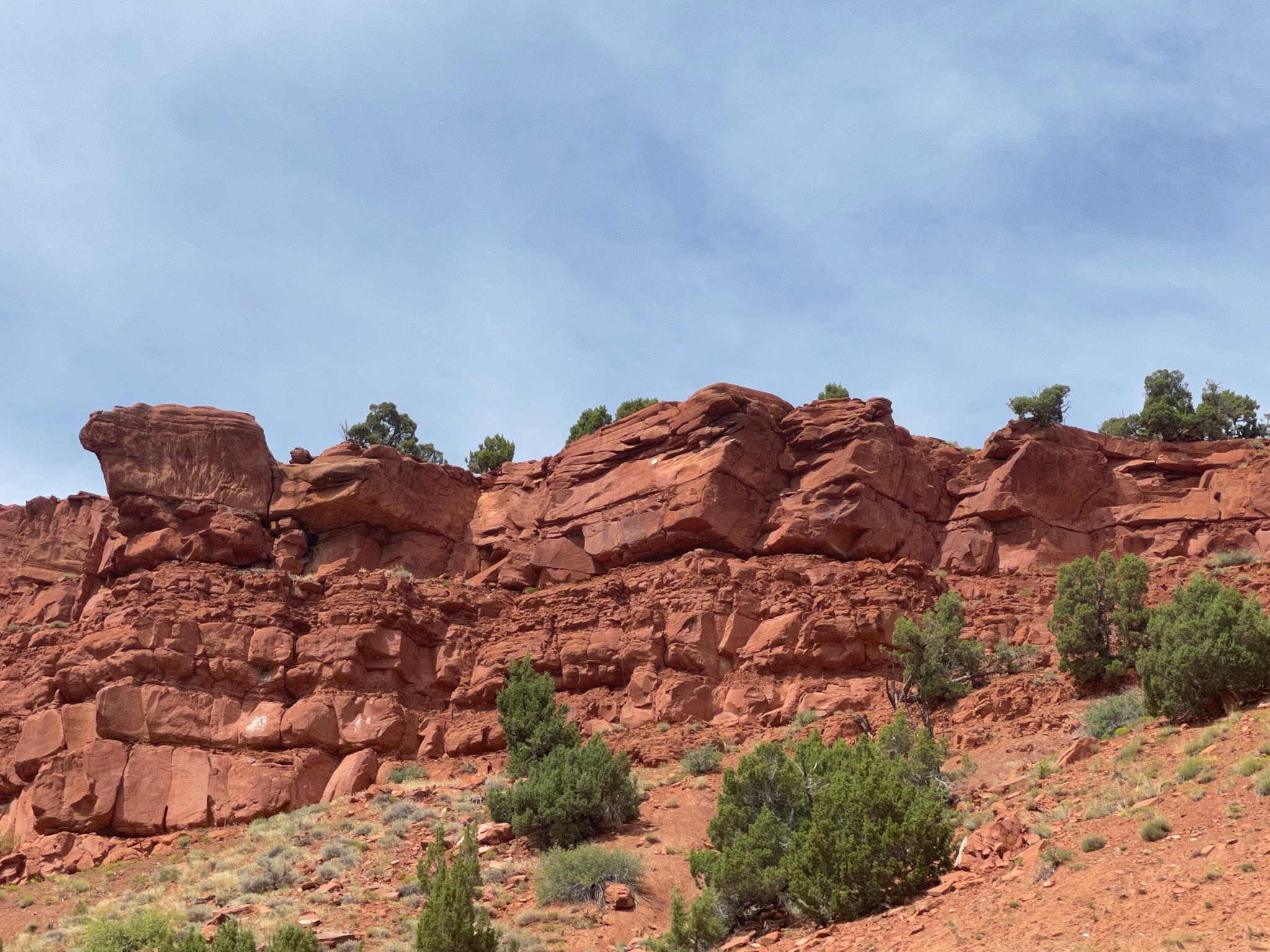
More red rock bluffs…
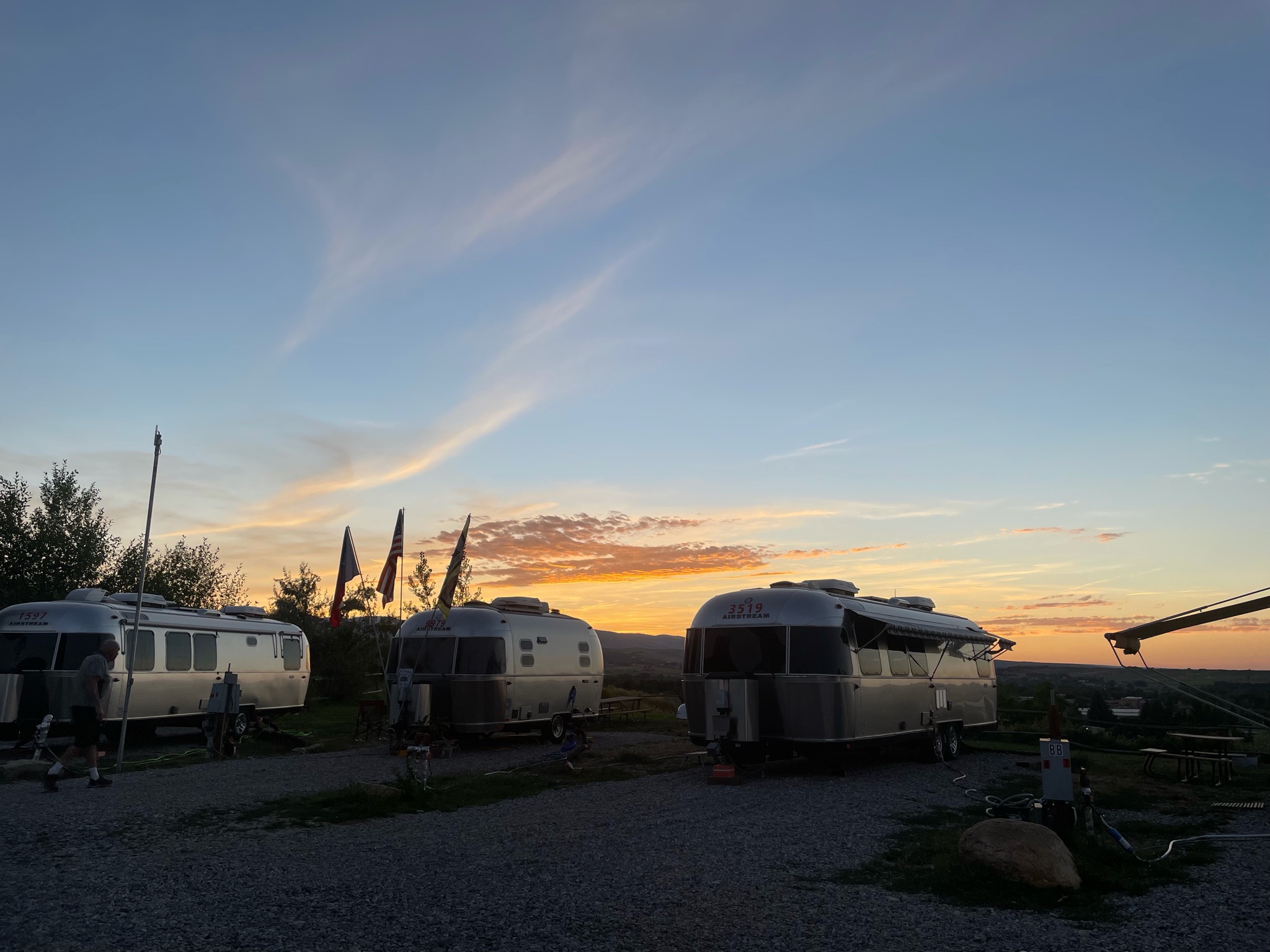
And we are all in, connected, and paid for…
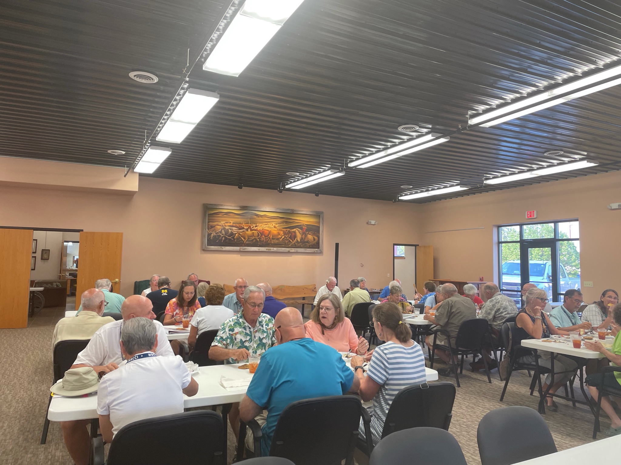
We had a little Happy Hours and enjoyed a light supper. An enjoyable time was had by all…
Short stories today. I woke up Monday with a sore throat; Lynda has had a cold since Saturday. We stayed in all day…
We did manage to get outside and walk a bit around the RV park, but it is constantly hot and dusty and windy…
We were feeling well enough to get out about 4:00 and join the club at a very good steak house nearby. After a few Old Fashioneds at the bar, and an appetizer of steak tartare, we joined the others for prime rib and cheesecake…
We returned to the Villa and turned in early…
Tuesday we felt a bit better (or at least Lynda did…) We headed out at 10:00 am to see the National Historic Trails Interpretive Center in Casper…
It is located on a bluff adjacent to the Overland Trails – the trails used by the emigrants to Oregon, the 49ers going to California, and the Mormons going to the Great Salt Lake valley…
Before we had left the campground this morning our leaders asked that the ladies wear their Oregon Trail bonnets and dresses… As you might guess, we are non-participants in activities such as this…
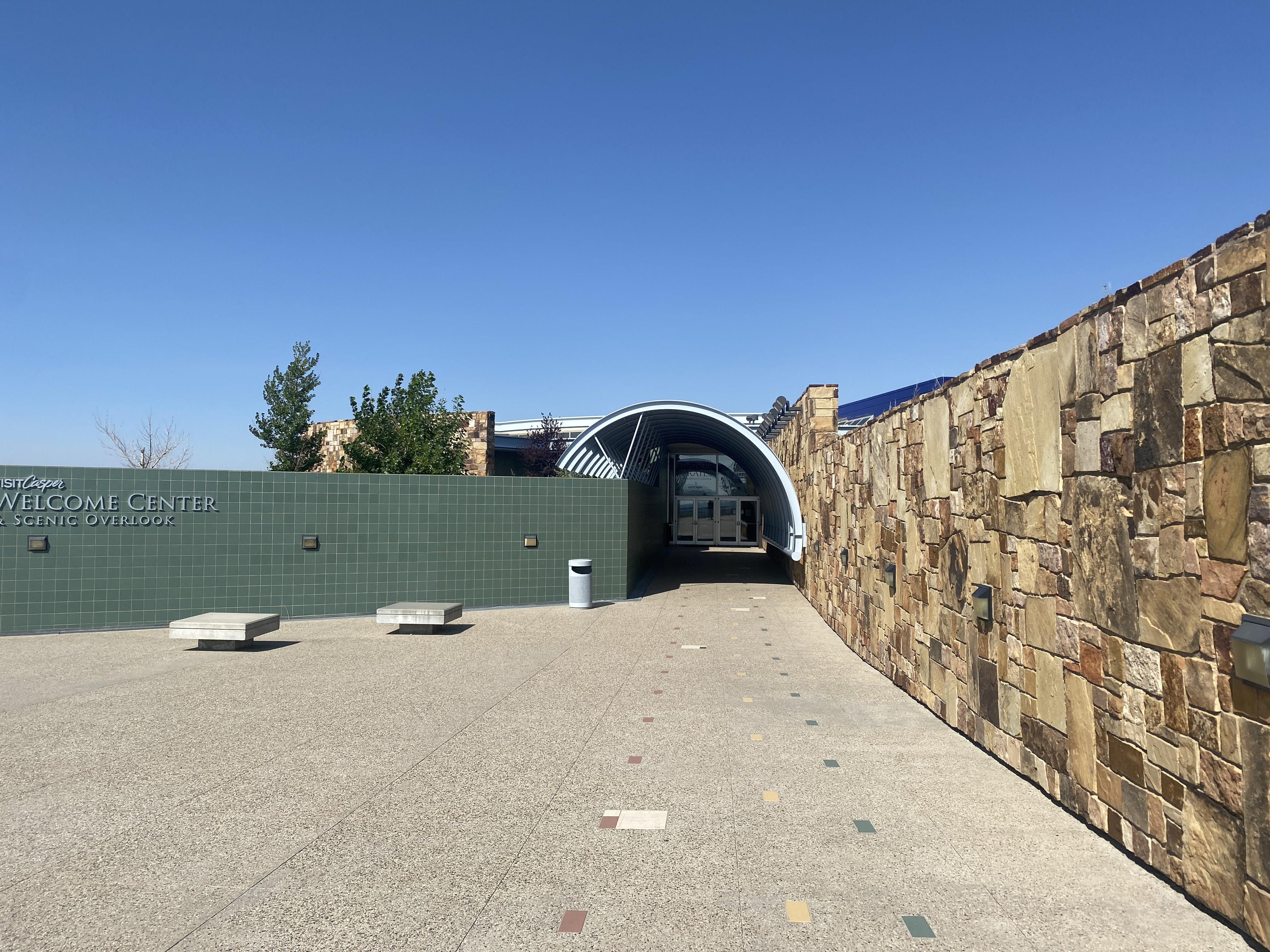
We walked toward the museum building…
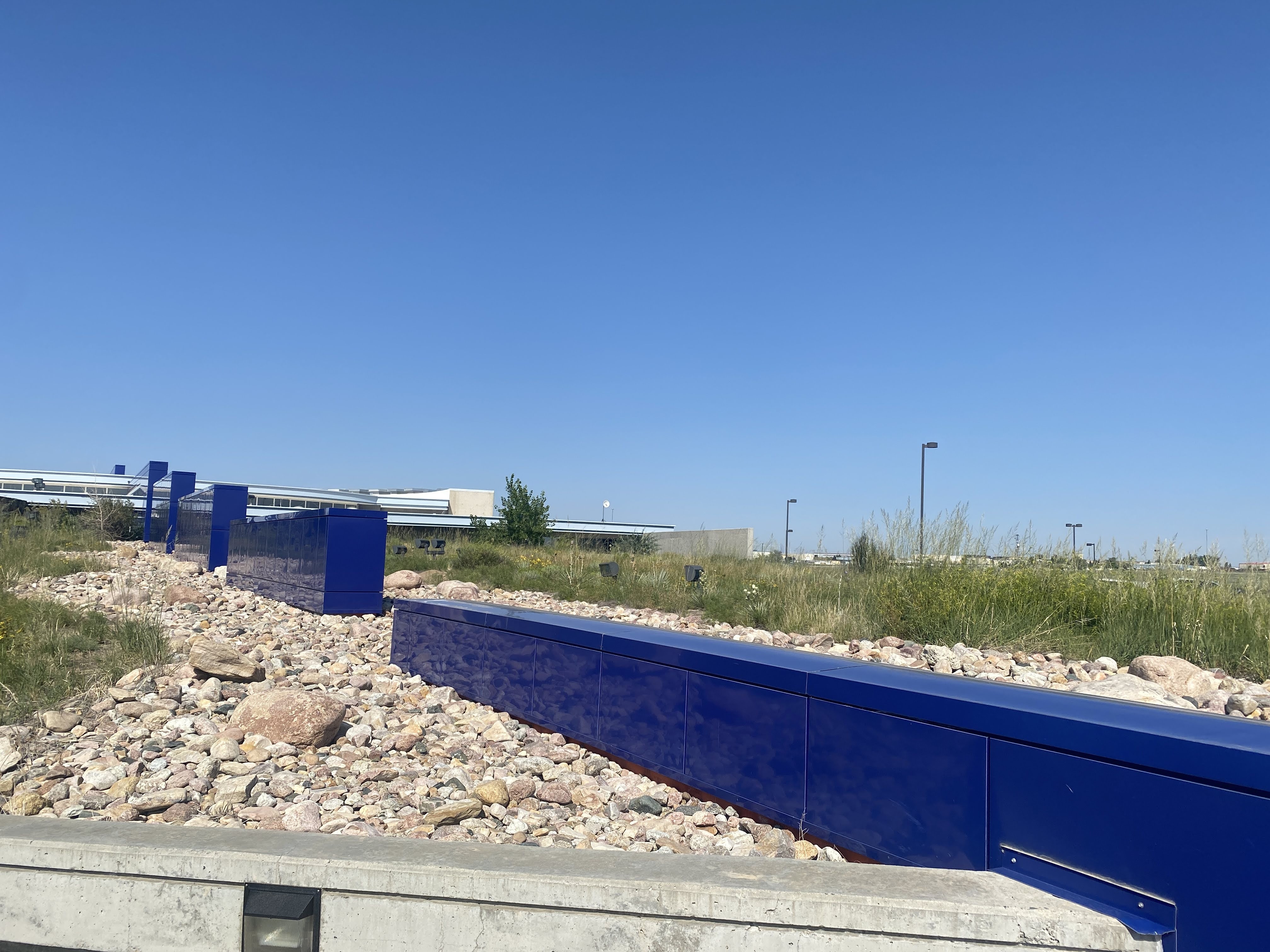
The building itself reflects a lot of imagery…
The blue wall segments represent the continuous westward trek by the pioneers and the emigrants, always up hill. Missouri is at about 2,000′ elevation, and the continental Divide is at roughly 7,000′ where the trails crossed it…
The stone wall is all native sandstone, and the green wall represents the sagebrush that was the emigrants constant companion on the prairie.
The arch portal, of course, represents the hoops and canvas of the covered wagons…
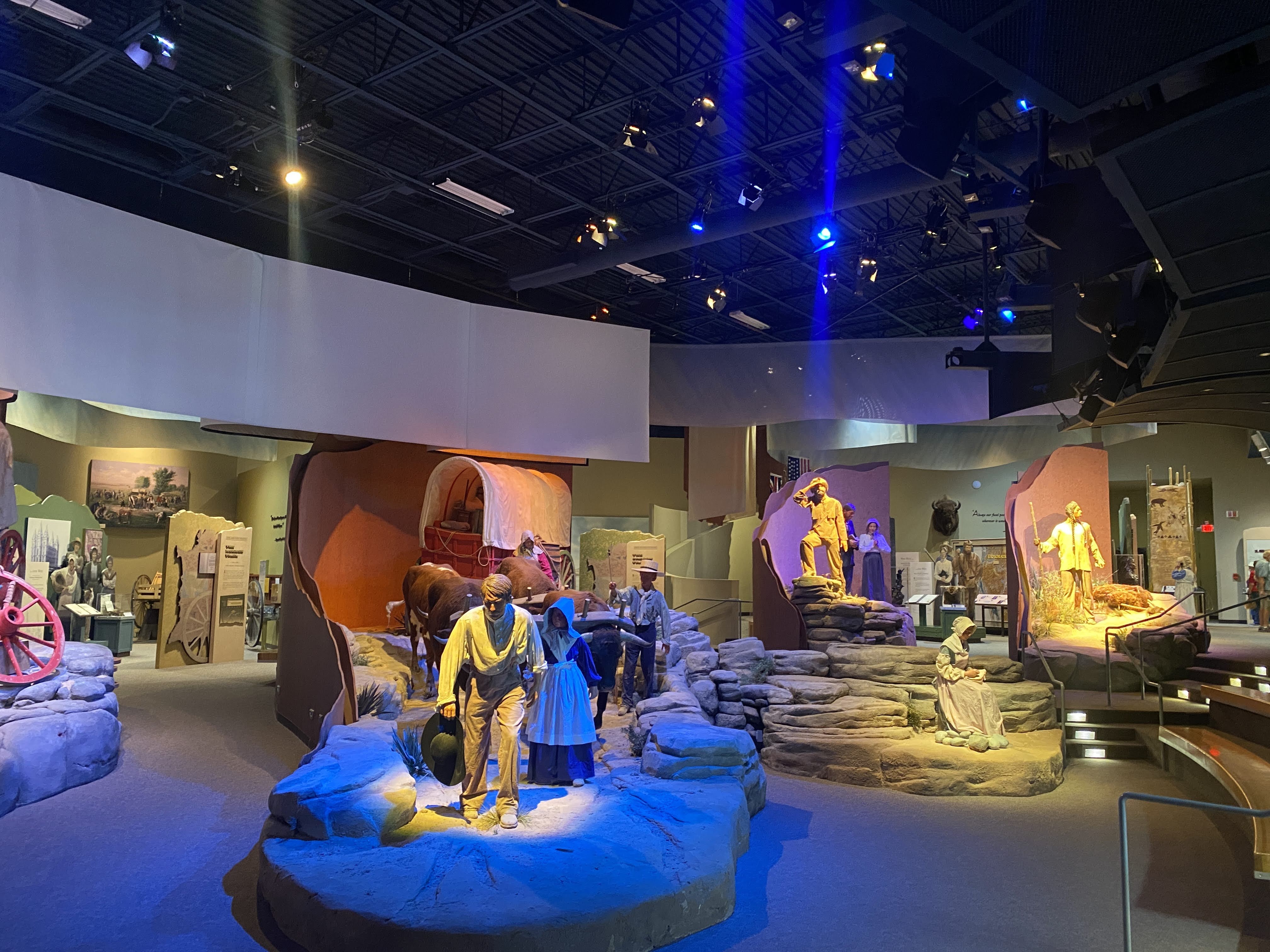
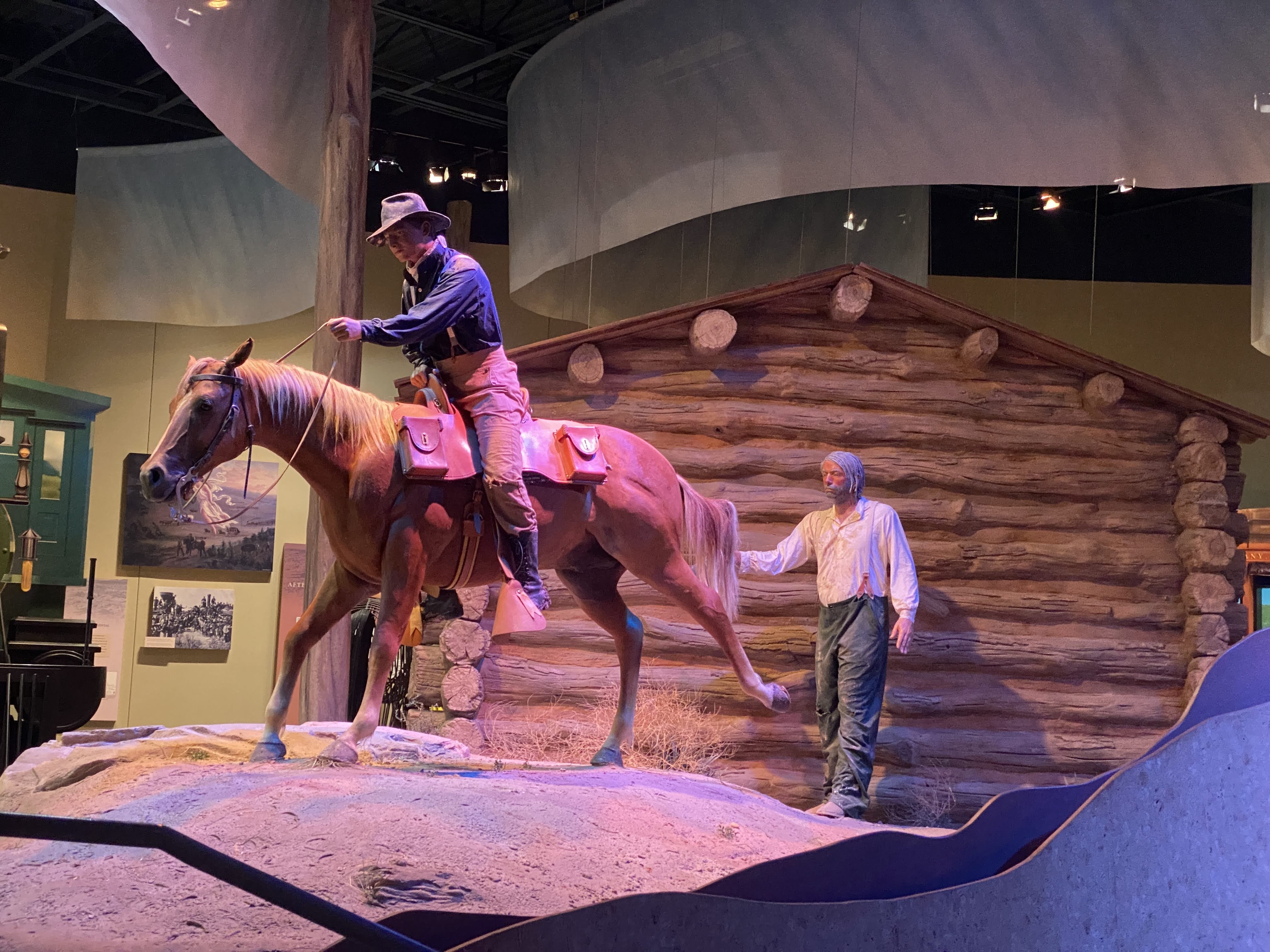
Inside we watch a short film about the emigrants. The lifesize displays added to the realism of the film…
Some of the Mormon emigrants could not afford oxen or mules, so they carried their possessions for 1,500 miles using handcarts. Lynda gave it a try!
One of the more interesting tidbits of the radical changes the emigrants brought to this region is in addition to all the other self-inflicted damage that I have reported on – loss of food and habitat for Indians, Pony Express ended by the transcontinental telegraph, wagon trains ended by the railroad, small towns ended by the Interstate Highways…
As the 350,000 emigrants passed through here on the trails small settlements sprang up to service the needs of the emigrants. When the trains ended the wagon travel, the rails took a different route again, this time to be more convenient to the coal deposits of southern Wyoming. These settlements slowly vanished…
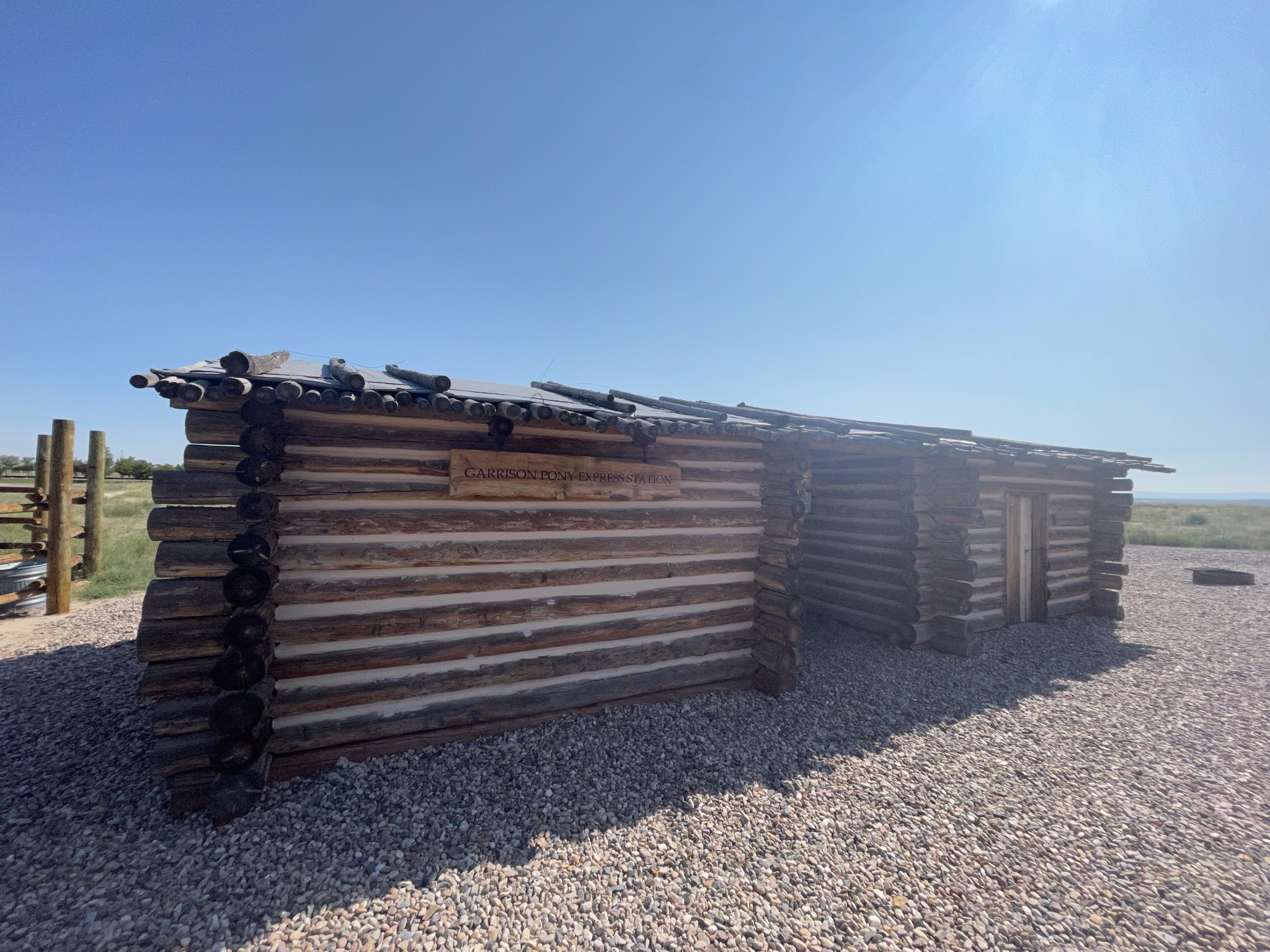
Outside the Museum is a reproduction of a typical Pony Express station. There is a small stable and a small office for the station master. The station master lived here alone; and he was alone – he was visited by only four Pony Express riders per week. Otherwise he was free to fend for himself. When the Pony Express ended, most of these stations were retrofitted to be relay stations for the telegraph… Adaptive Reuse!
We returned to the Villa. I took a nap… Then we had a modest Happy Hours. We walked around the RV park in the evening…
We are leaving Nebraska today, traveling to Casper, WY (actually Evansville…).
But before I talk about today, here is a picture of all of us at Scott’s Bluff yesterday…
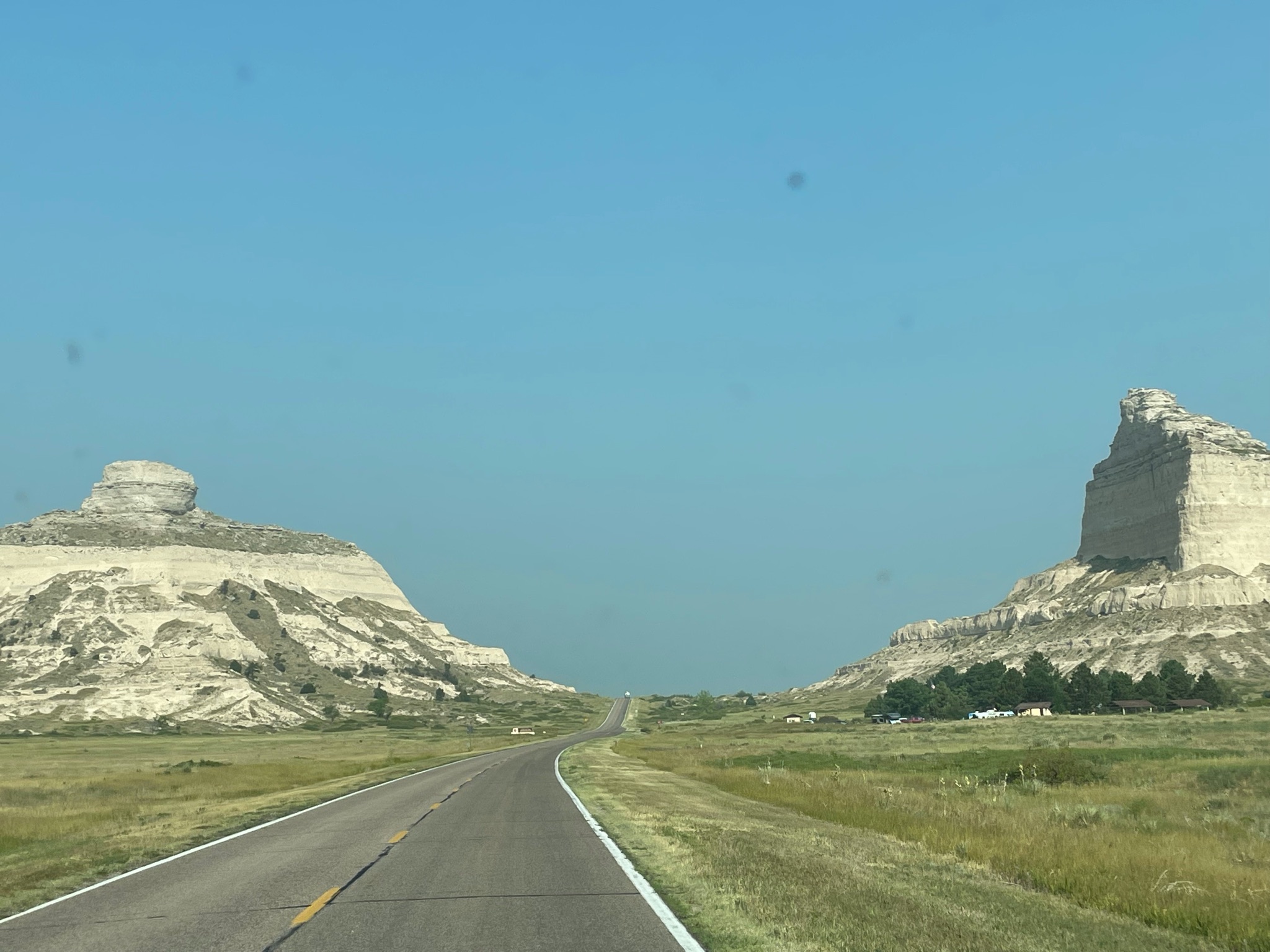
We drove through the Robidoux Pass, between the major cliffs at Scott’s Bluff. We will be following the the Oregon Trail for much of our trip today…
Beyond we see Nebraska countryside once again…
As we move west, closer to Wyoming, the terrain changes…
We entered Wyoming and found the town of Fort Laramie. Surprise! There is a fort here! As we headed for the fort we crossed over the North Platte River (for about the 8th time today…). Adjacent to the modern bridge we crossed is the old iron bridge built by the Army in the mid-1800s…
As we approached the fort we encountered three of our friends as they were leaving…
The visitors center had several well developed displays telling the history of the fort. It was originally a trading post, until the US Army bought it in 1849. By 1849, as California-bound 49ers joined the Oregon Trail emigrants the trickle of wagons across the plains had become a flood. The fort provided protection in addition to becoming a major supply post, the first since Fort Kearney, 600 miles to the east…
As the emigrants passed through the area they brought destruction… Annually, 10,000 wagons, 50,000 people, and 75,000 head of animals passed through here. The people and cattle killed and/or chased away the game, depriving the Indians of their food supply. Livestock trampled the grass across a two mile wide swath of land. The wagon wheels scarred the land; these scars are still visible over 150 years later. (As we will see at our next stop…)
Peace with the Indians was spotty at best. Treaties were made, treaties were broken. The Platte River Ferry incident and the Grattan Fight brought peace to an end. For 25 years the Northern Plains Indian Wars raged. By 1860, as the emigrant traffic slowed (with the introduction of stagecoach travel, and then train travel) the fort transformed from a rest stop for emigrants into a base of military operations against the Northern Plains tribes…
Through the 1860s the fort stood as a vital link between the east and west. 500,000 people now lived west of the Rocky Mountains. In 1860 the Pony Express came through, followed by the transcontinental telegraph. When the Civil War began, troops were withdrawn from the fort. The small crews left behind had to scramble with maintaining the hundreds of miles of telegraph lines. As the Indian wars rages, Indians attacked the fort, telegraph lines, stagecoach travel, and the wagon trains. The Fort Laramie Treaties of 1868 held the promise of peace on the plains. It was short lived…
The beginning of the end was Col. Custer and his defeat by Sitting Bull at Little Bighorn in 1876. This so enraged the army (and the federal government) that they set out on a mission of retaliation. This culminated at Wounded Knee in 1890, with the slaughter of between 150-300 Lakota Indians by the US Army. It ended any organized resistance by the Indians to living on reservations.
Fort Laramie in the 1880s was a “golden era”, as a false sense of of permanence prevailed. New buildings were built, old buildings were improved, and an active scene prevailed among the officers and the local citizens. In the mid 1880 a railroad nearby brought all the amenities of Victorian life to the fort.
In 1886 a new, larger railhead was built at the adjacent Fort Robinson. It made Fort Laramie superfluous. In 1889, the fort was closed and abandoned. In 1890, the land and buildings were sold at a public auction. Also in 1890, Wyoming was declared a state and the Indians were all on reservations. In 1890, the Superintendent of the Census declared that the American frontier had ceased to exist.
In 1937 a group of local residents of the town of Fort Laramie finally prevailed on the state of Wyoming to purchase 214 acres of old fort property, and preservation and restoration of the fort was begun.
I’m not a fan of forts and old buildings like this. We saw the fort, we learned the history, and we traveled on… It was a god thing that we were leaving now… In a few minutes the parking lot looked like this:
So we hurried on… About ten miles down the road we came to the town of Guernsey, with its giant rail yard. All these train cars are filled with coal, heading into Nebraska to fuel the 15 giant power plants there…
We crossed the North Platte River, again…
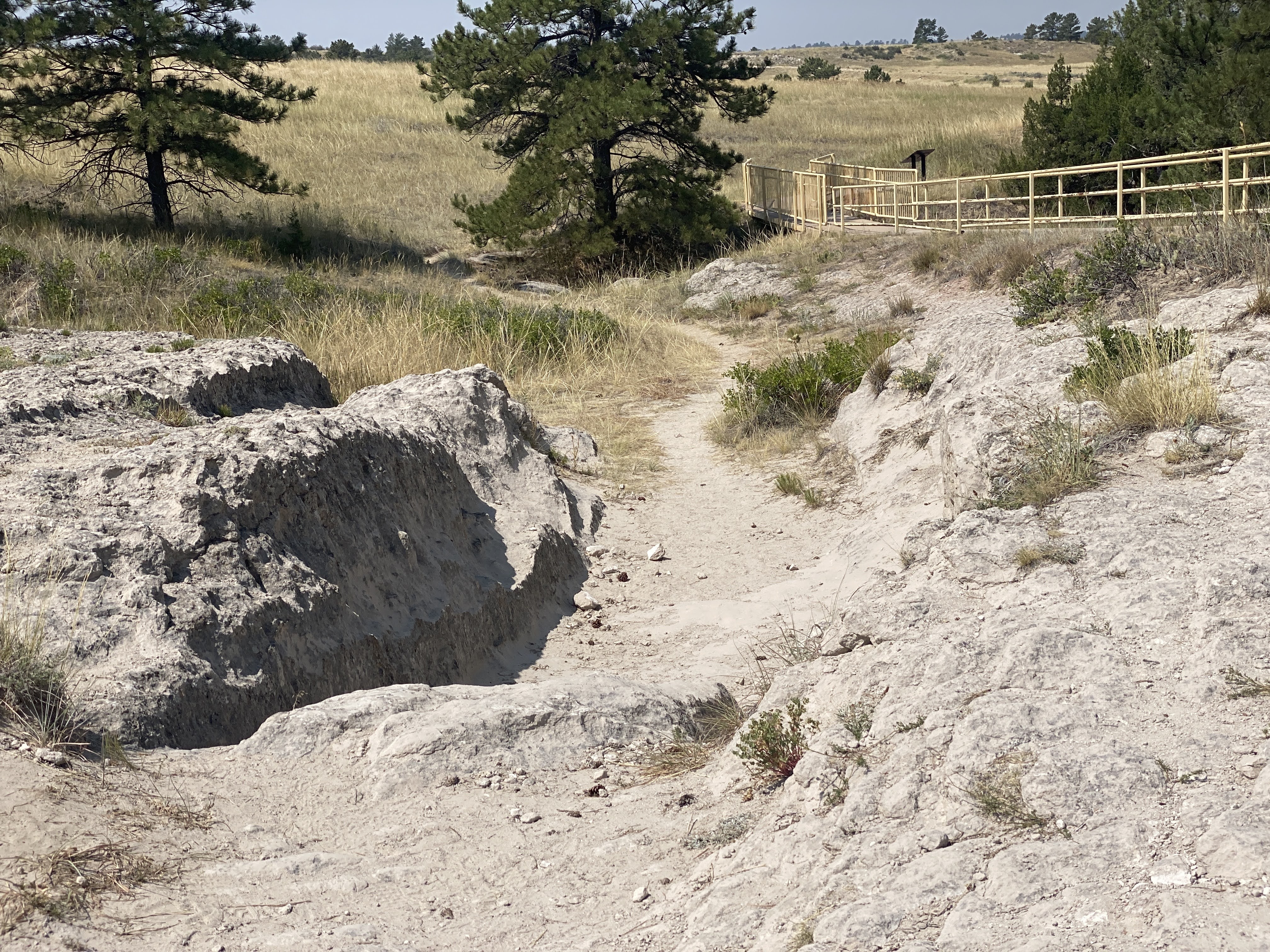
We found the ruts we are looking for…
These runts, worn into the sandstone, are impressive…
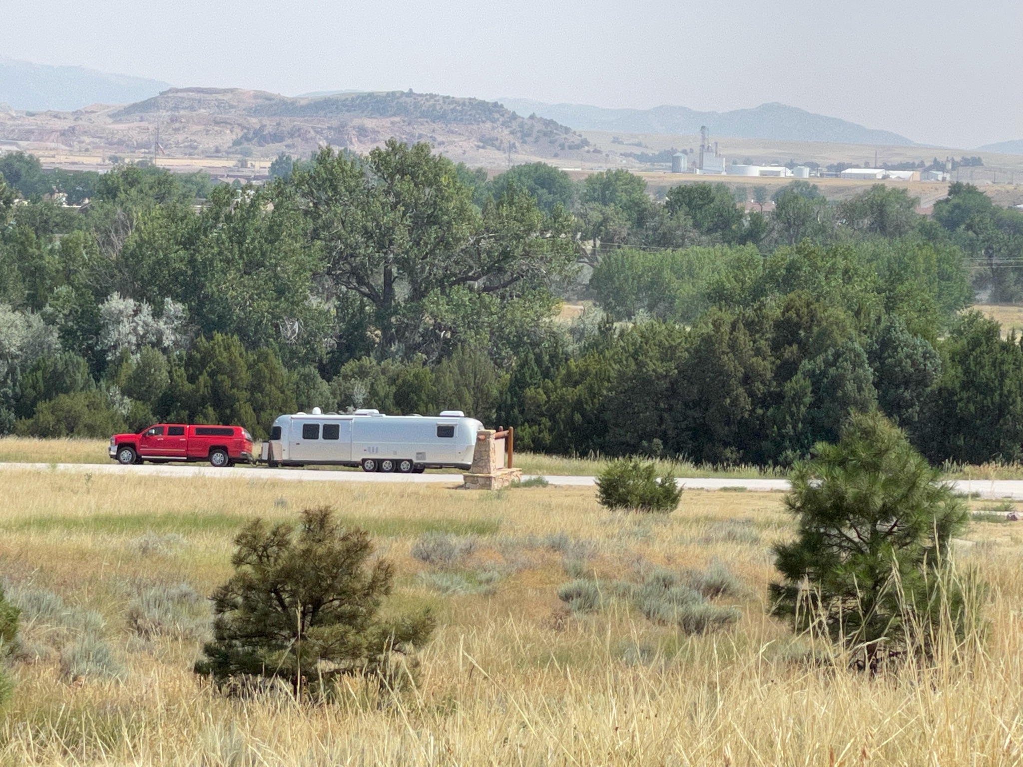
As we returned from the ruts and trails we found the Villa in the distance…
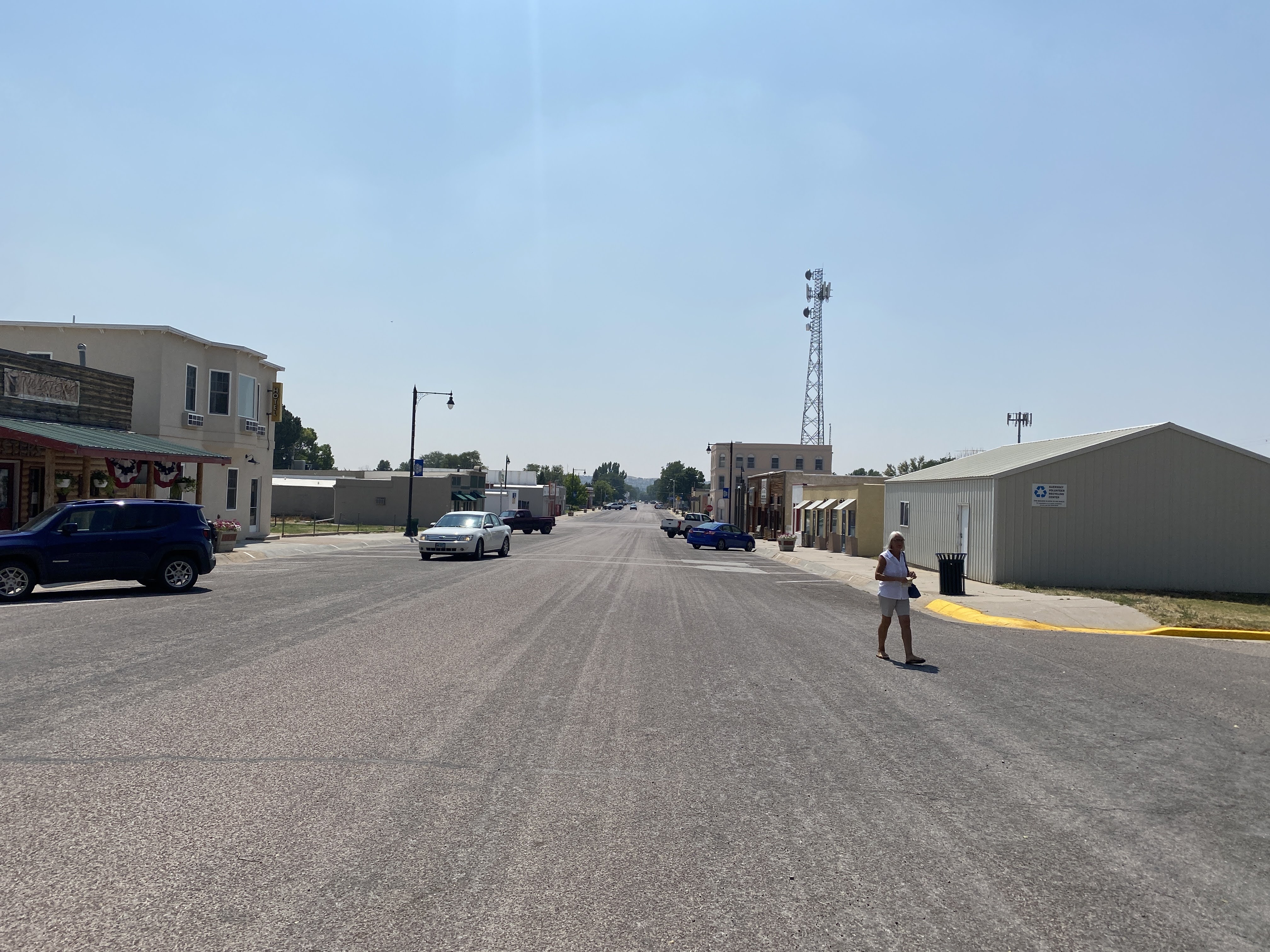
We drove the short distance back to the town of Guernsey. We stopped at the Twisted Eatery for lunch…
Nothing fancy here. No avant garde food. Just well made, simple food. We enjoyed our sandwiches! And we traveled on…
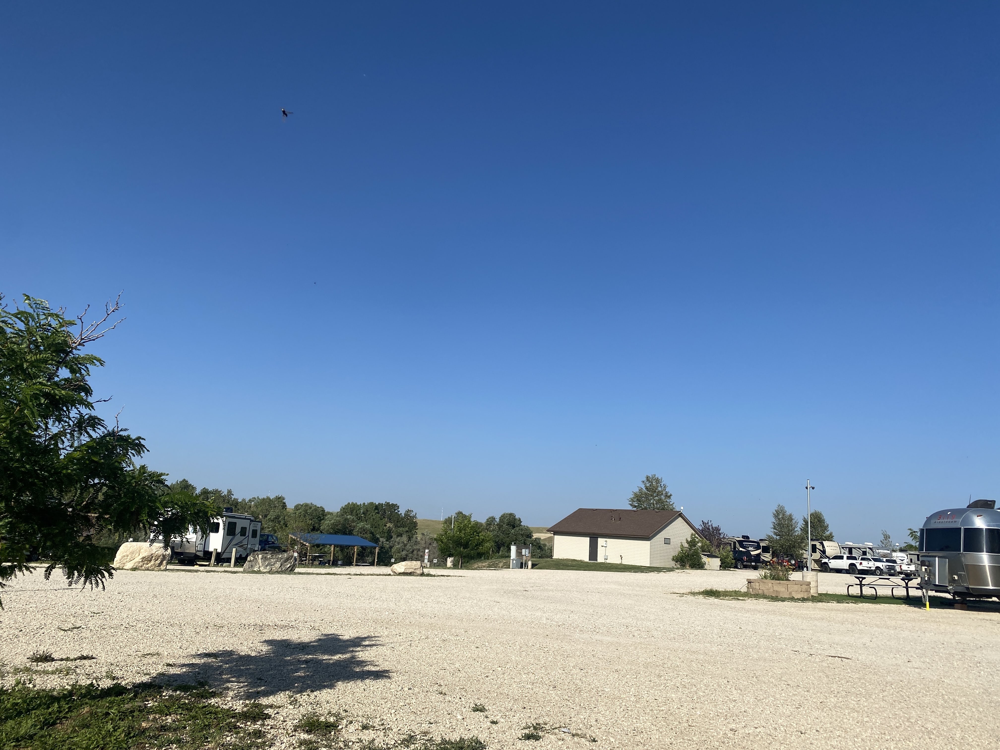
We arrived at our campsite in Evansville, adjacent to Casper… Lots of gravel, and a small patch of plastic grass at each site…
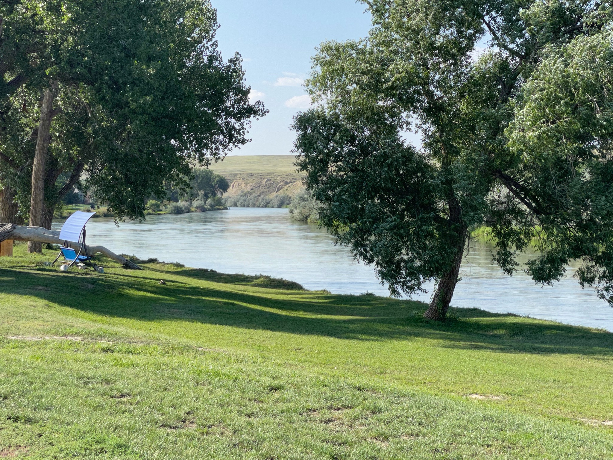
Happy hours were enjoyed. It is hot and windy this afternoon and evening. We enjoyed our view of the North Platt River…
We slept fitfully all night because there was a very strong windstorm blowing outside… but the morning dawned nicely.
We rode along with another Airstream couple from Jerusalem… We headed towards Scott’s Bluff National Monument…
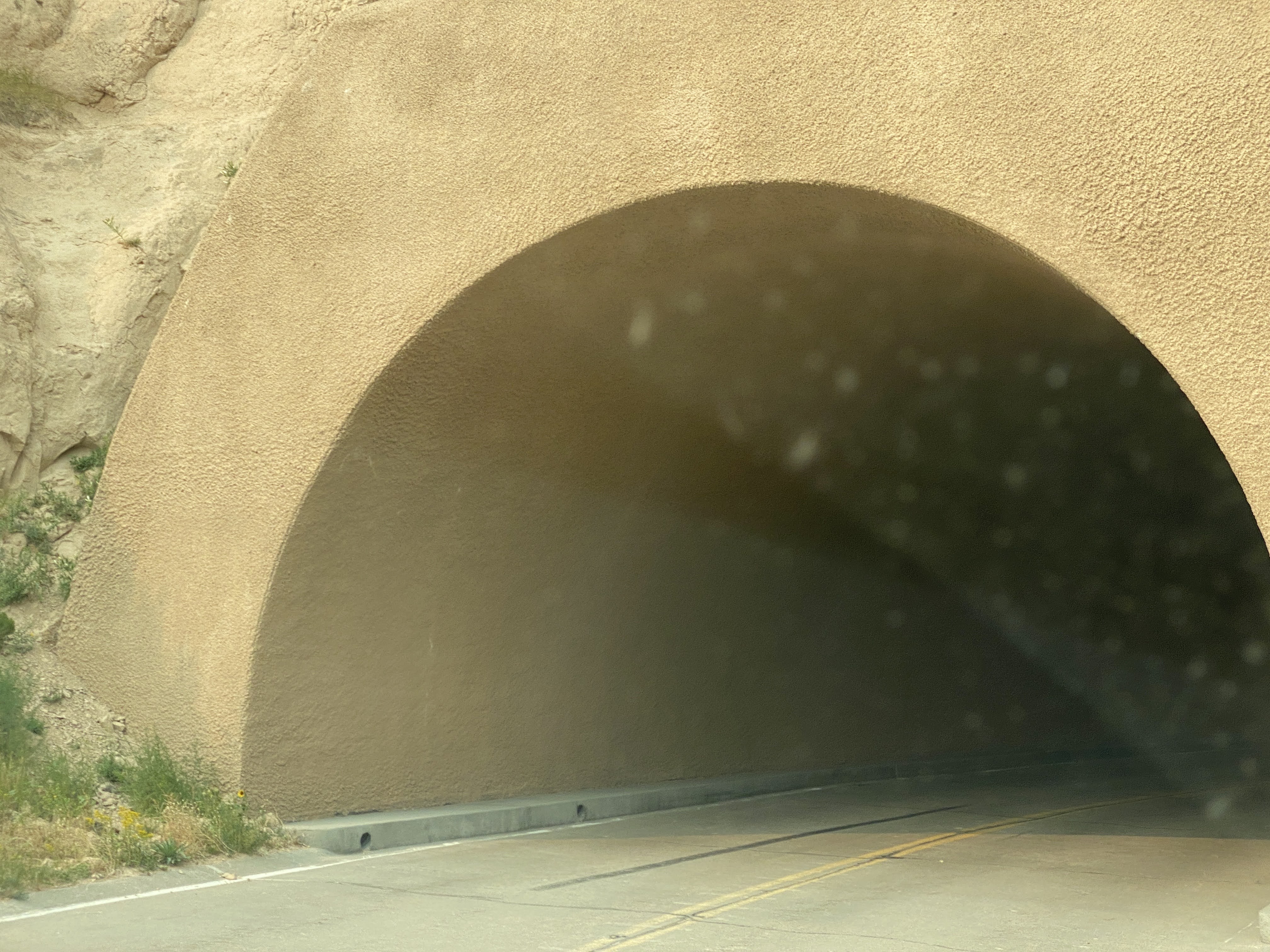
In the 1930s the Park Service, with the help of the CCC, constructed this road to the top of the bluff, including three tunnels…
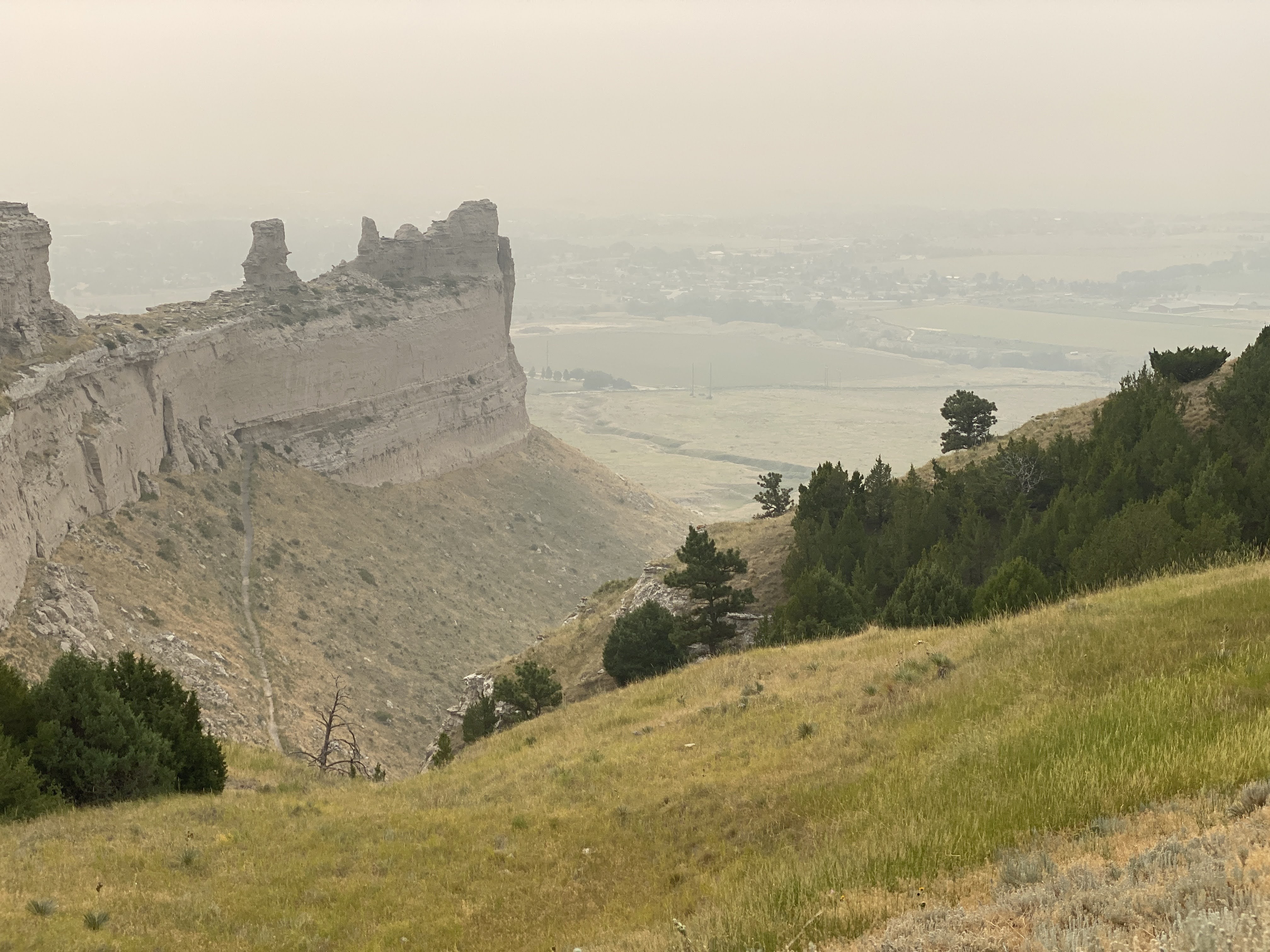
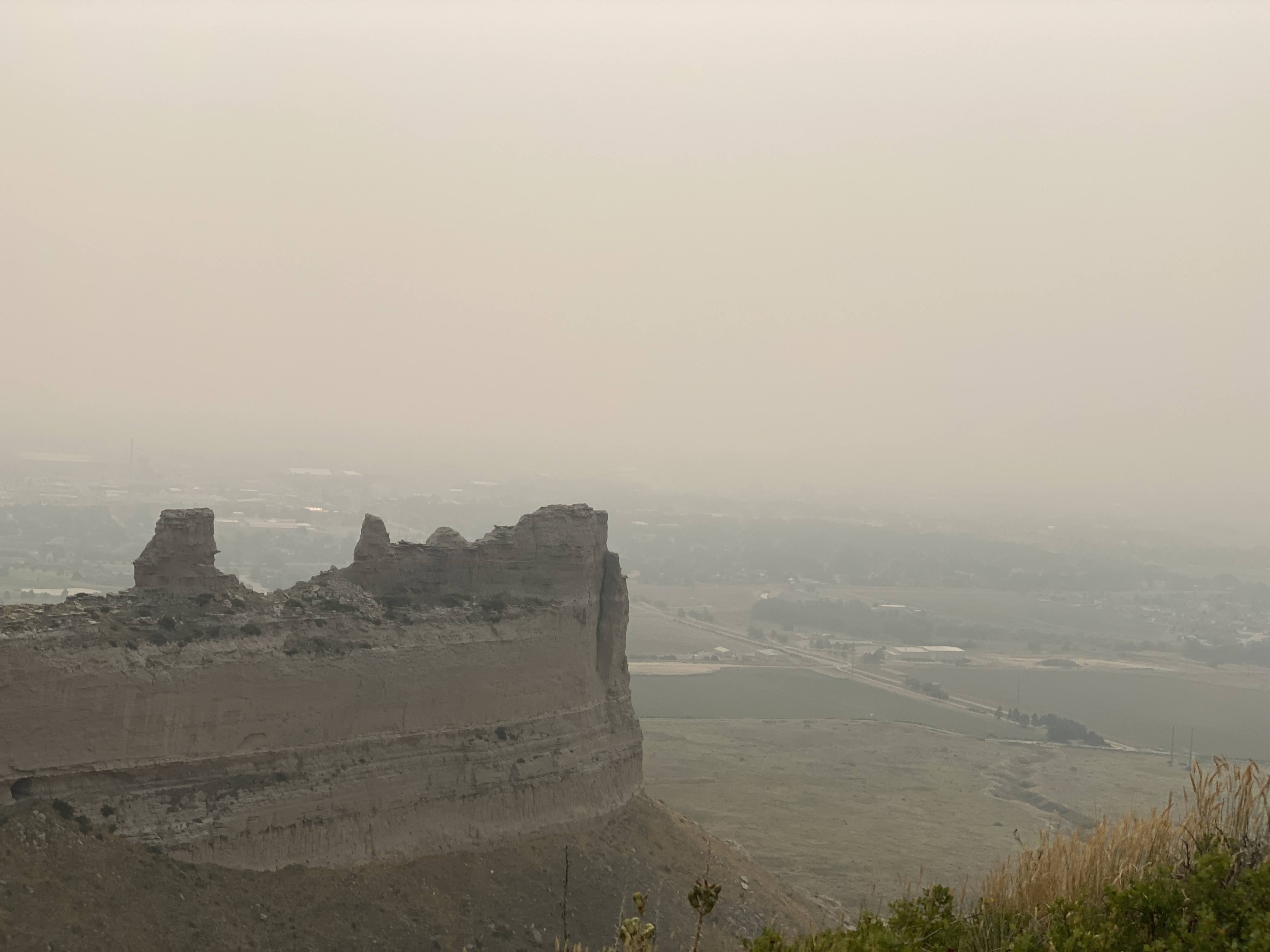
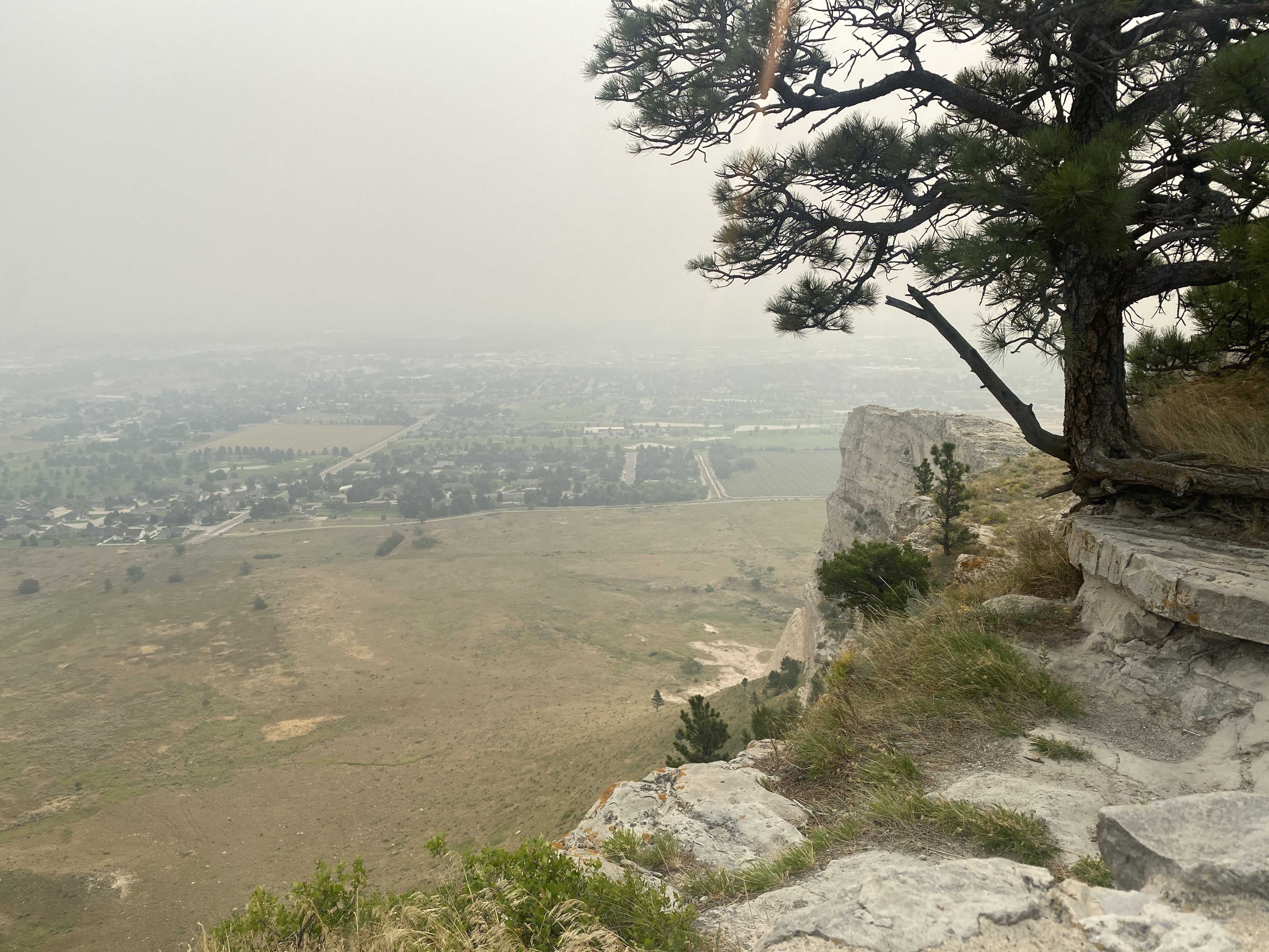
The views from 800′ above the valley floor must be spectacular. Unfortunately, we have smoke-filled skies from the Canadian fires.
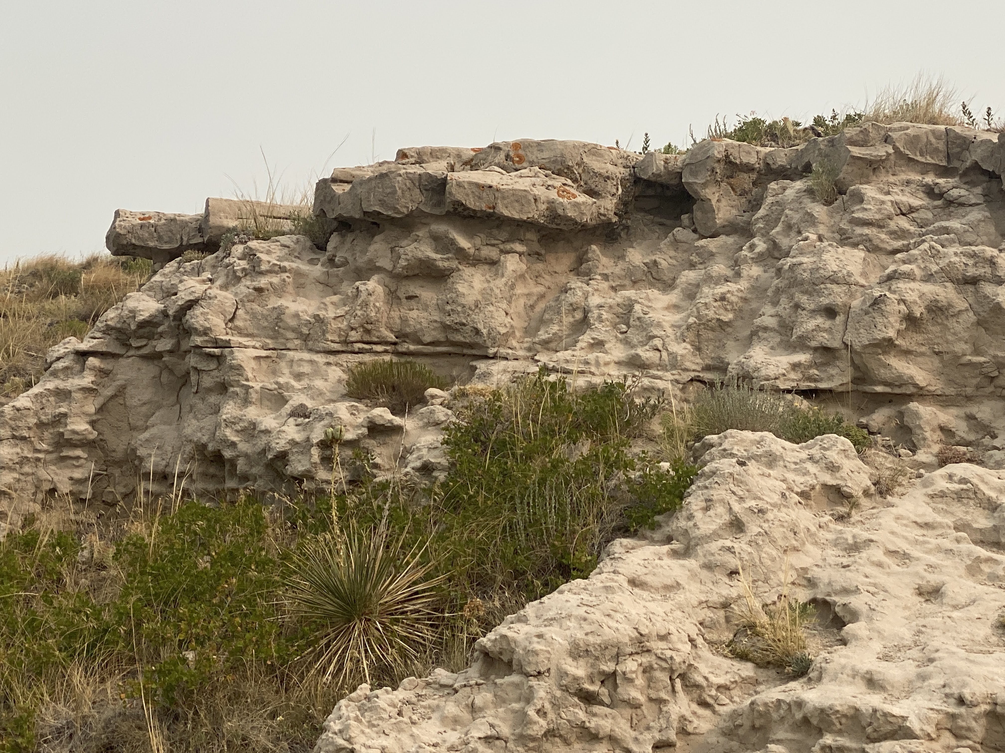
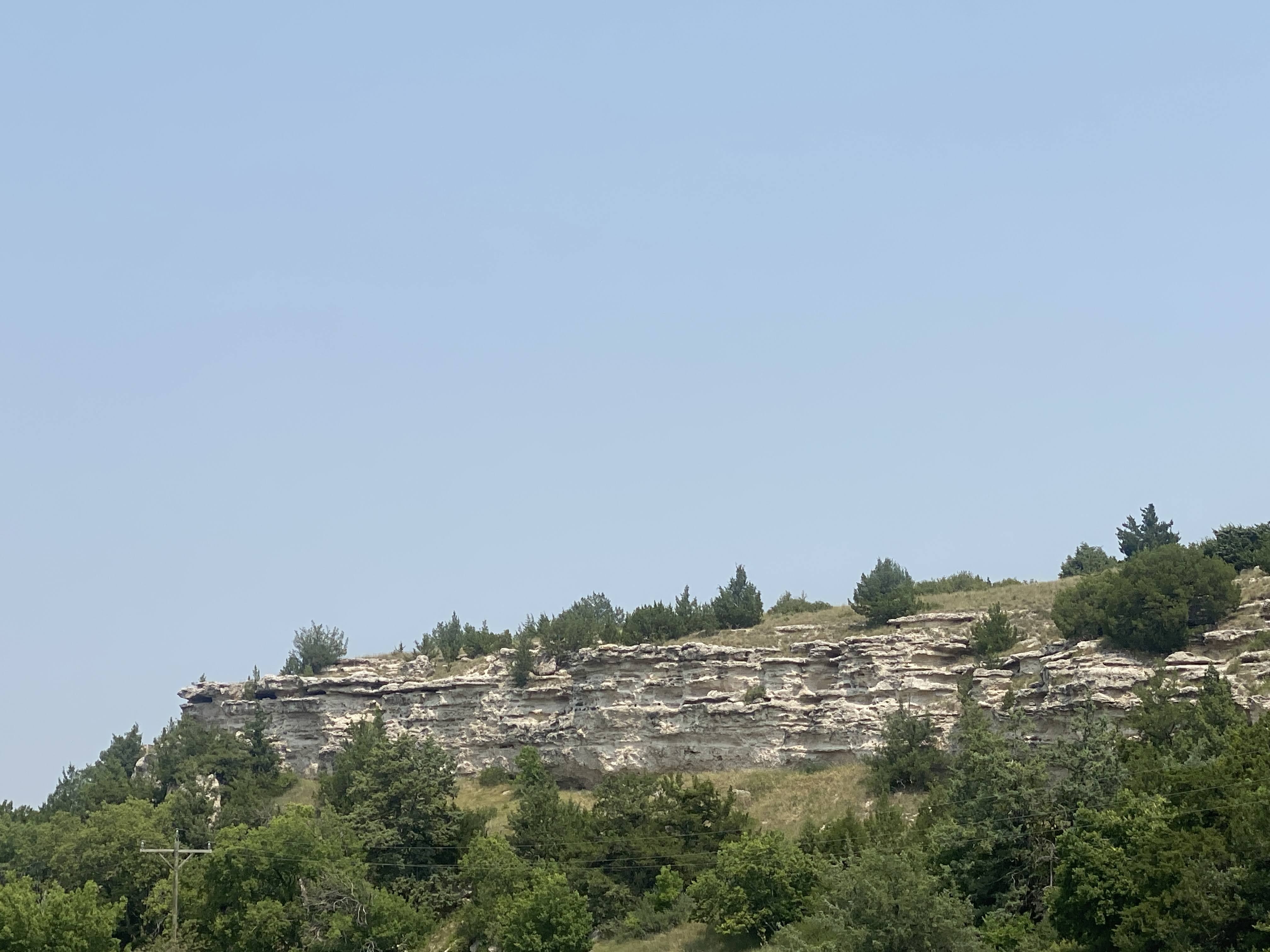
A close-up look at the bluff shows the layers: on top, the limestone cap, then alternating layers of sandstone, volcanic ash, and clay… The entire area around here used to be plains at the same elevation of Scott’s Bluff. However, most of it lacked the limestone cap, so over a few million years it has all eroded away to todays configuration…
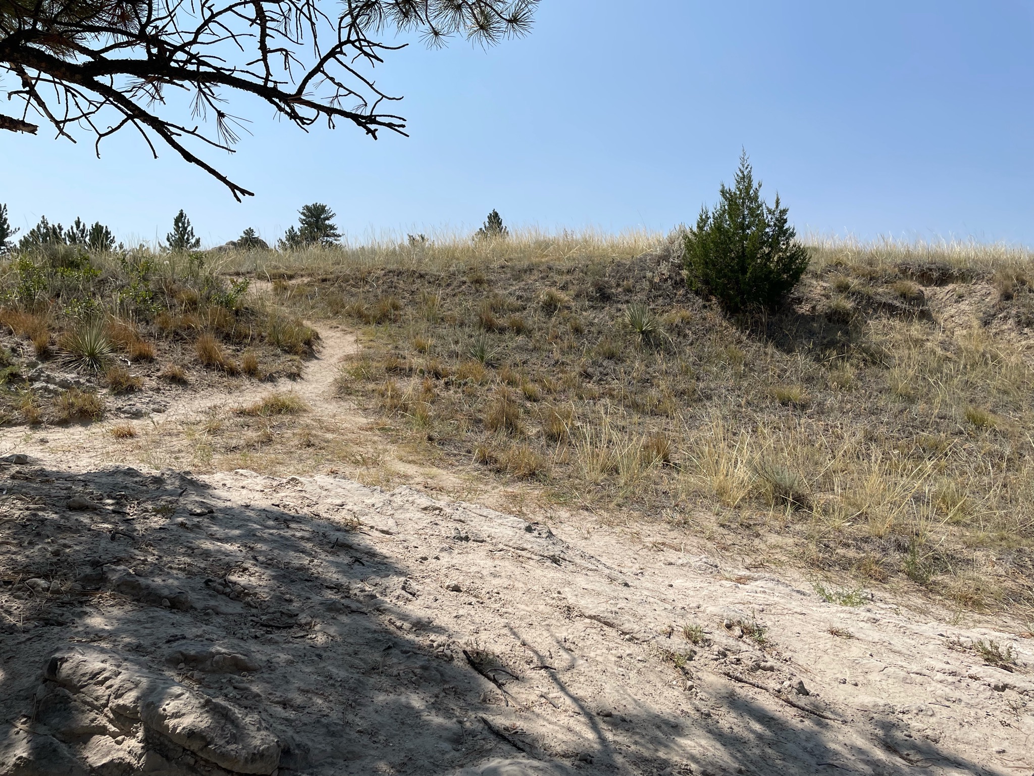
We walked along the paths trying to see different views. Still smoke all around…
Back down at the Visitors Center we looked at the exhibits. We looked at the bluffs from below…
Then we walked along the real, authentic Oregon Trail…
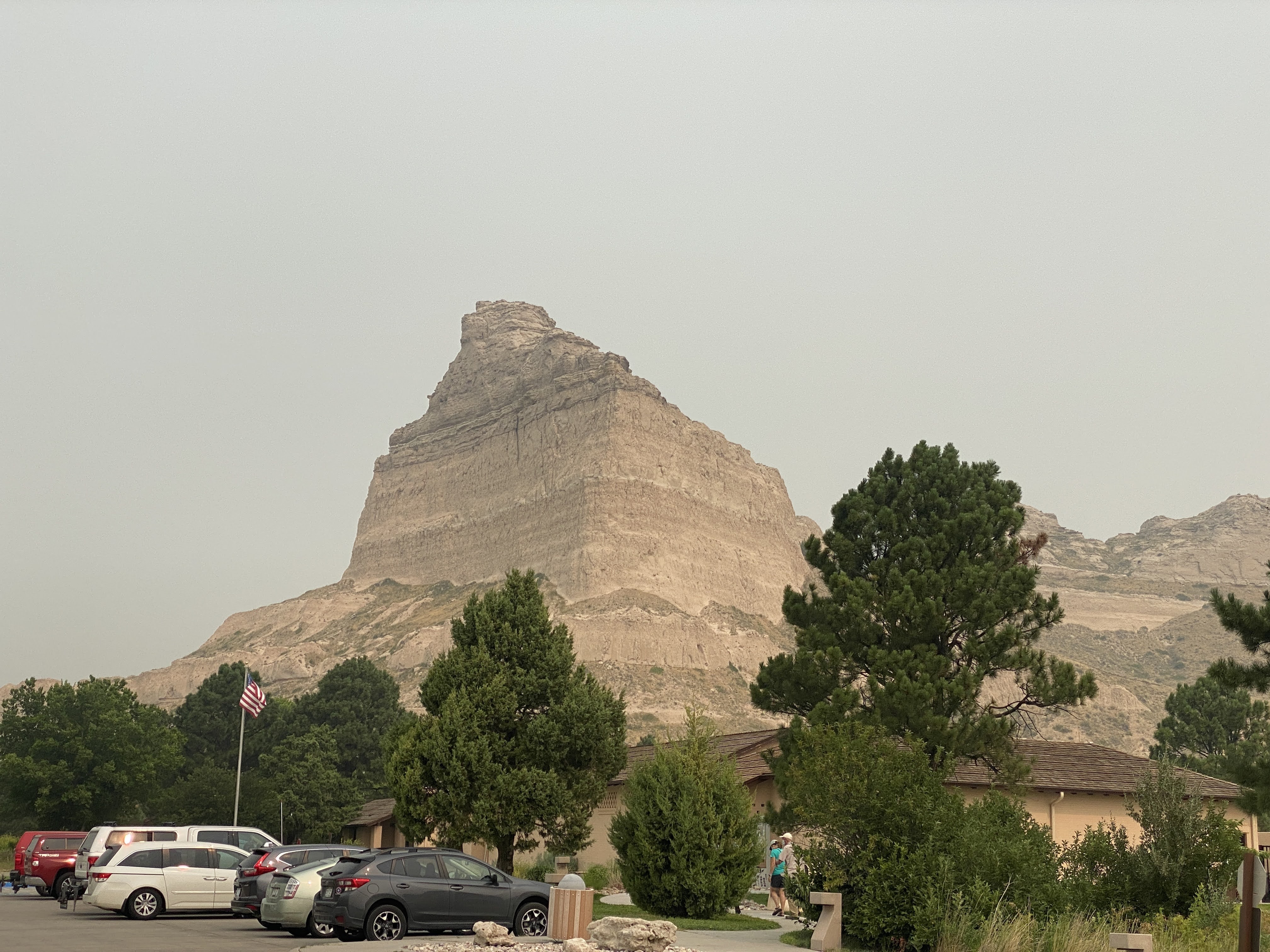
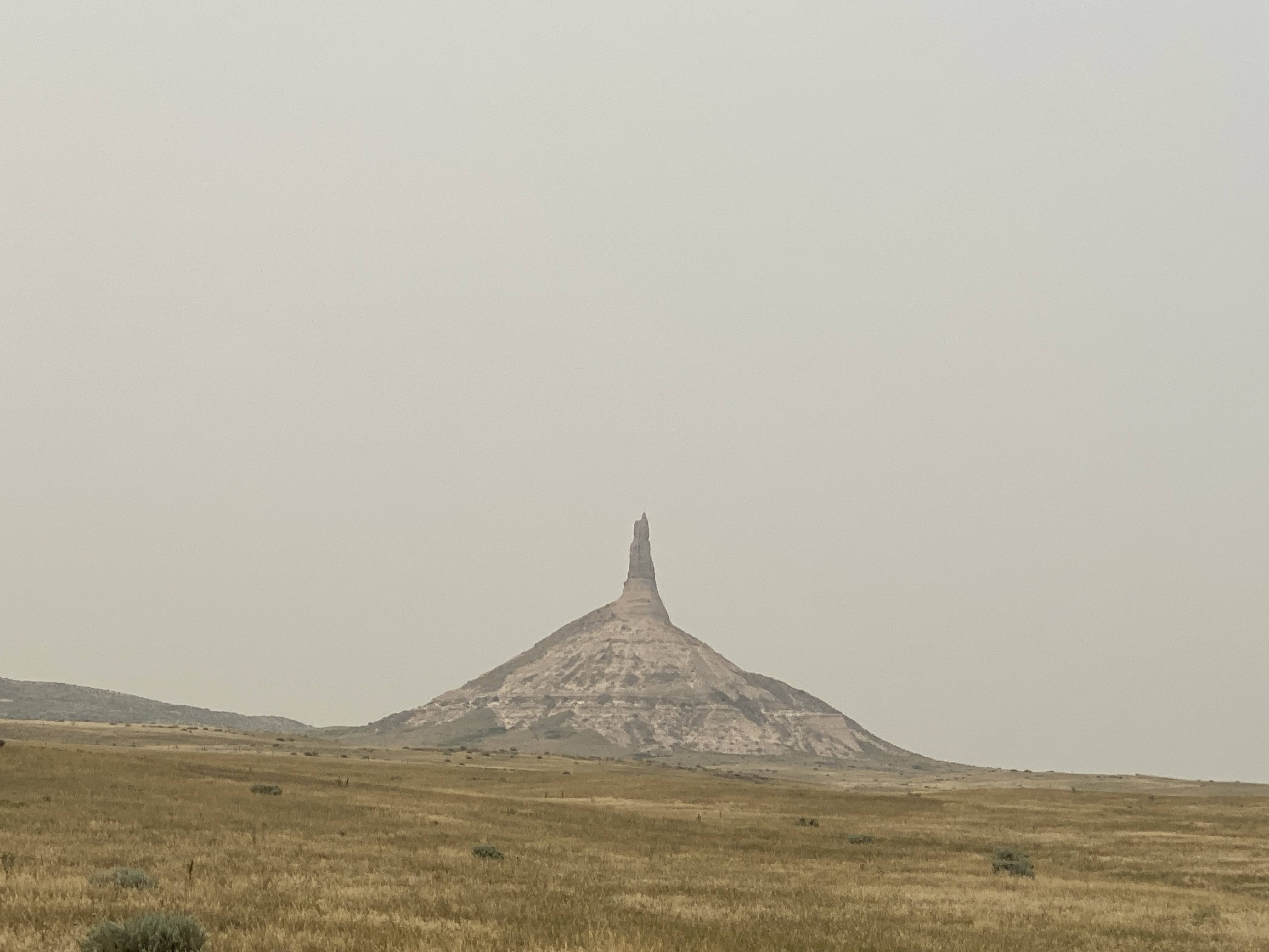
Next stop was the famous landmark: Chimney Rock…
There was a very nice visitor center…
One of the exhibits showed the Oregon Trail through Nebraska. Note Chimney Rock to the left… (We leave Nebraska tomorrow…)
Behind the Visitors Center is the official view of Chimney Rock:
Chimney Rock is similar composition as Scott’s Bluff, with the exception that there is no limestone cap. Therefore, Chimney Rock is eroding much faster than Scott’s Bluff, and it will soon melt into the surrounding plains…
We returned to the Villa, had a leisurely afternoon… tomorrow we head for Wyoming!
Another travel day…but not too far. Only 125 miles. We are camping in Gering, NE, tonight, adjacent to the Scott’s Bluff National Monument and the city of Scottsbluff.
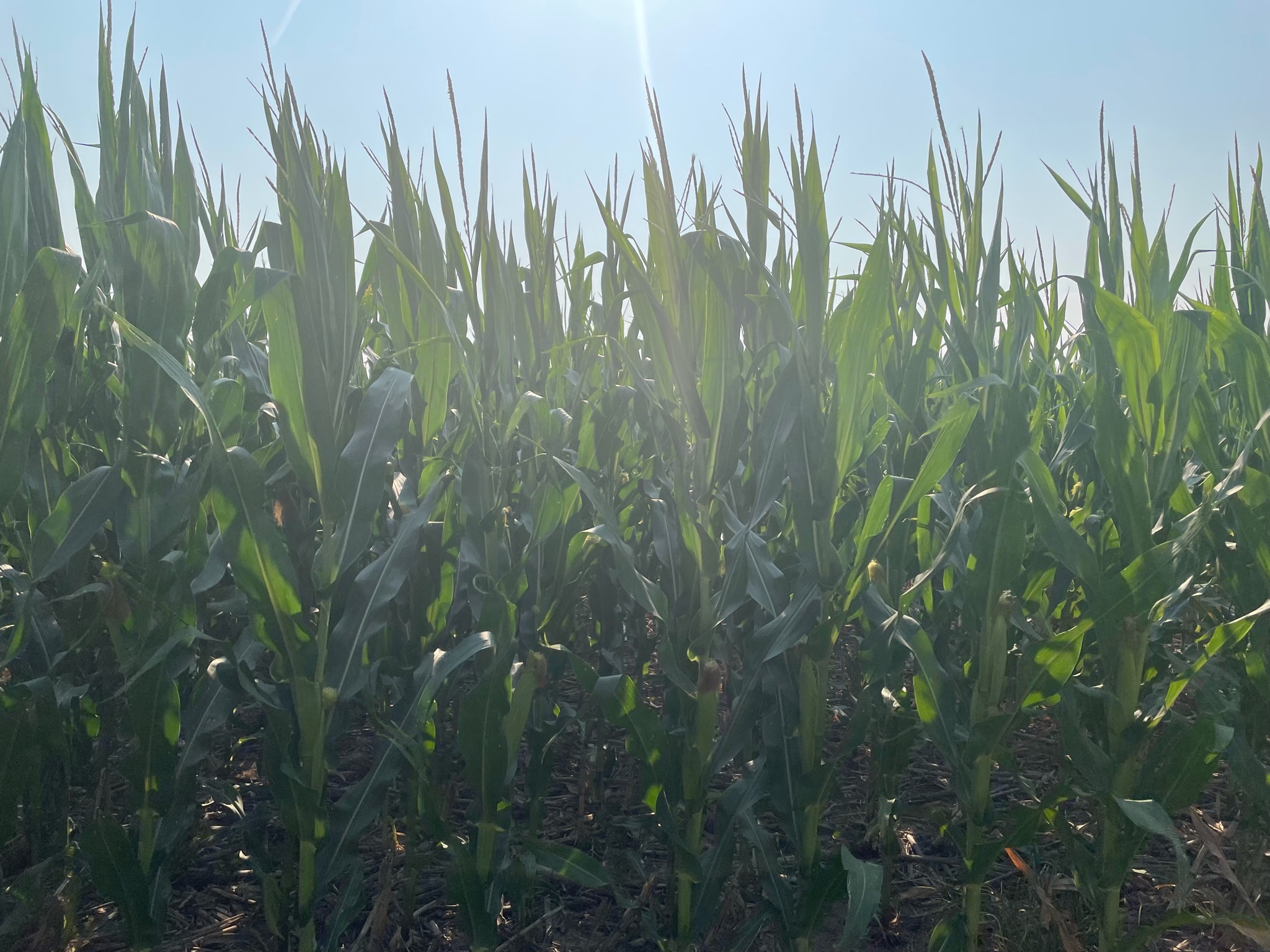
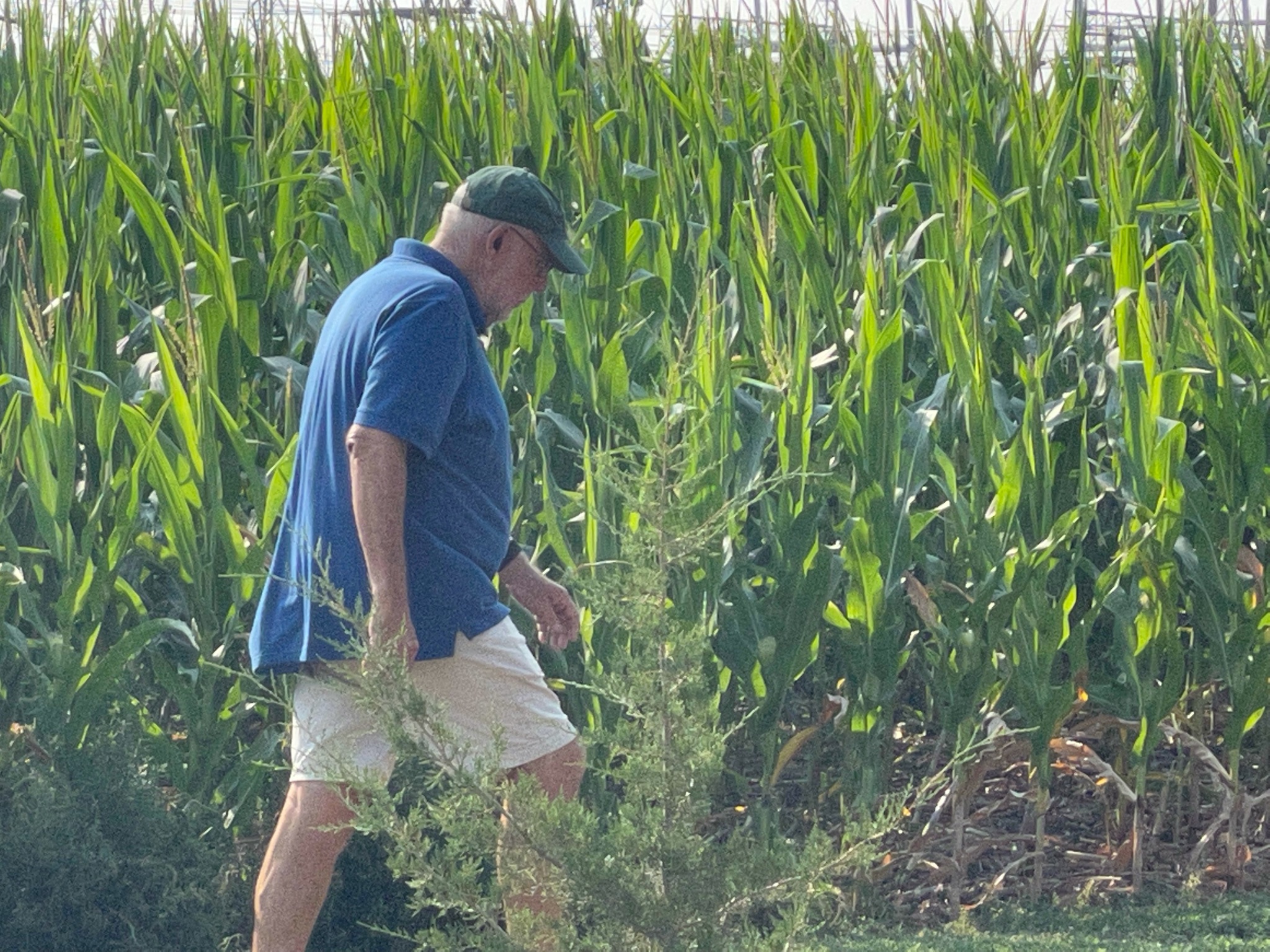
We started the day looking at corn. We;ve seen hundreds of cornfields in the past two weeks, but we had never looked at it up close…
We set out at about 9:45. We retraced some of the route from yesterday’s trip to Ash Hollow. We did see, for the first time on this trip, rectangular hay bales. These are not like the hay bales of my youth on the dairy – they are about the size of 8 of those old bales…
We crossed the North Platte River for the umpteenth time…
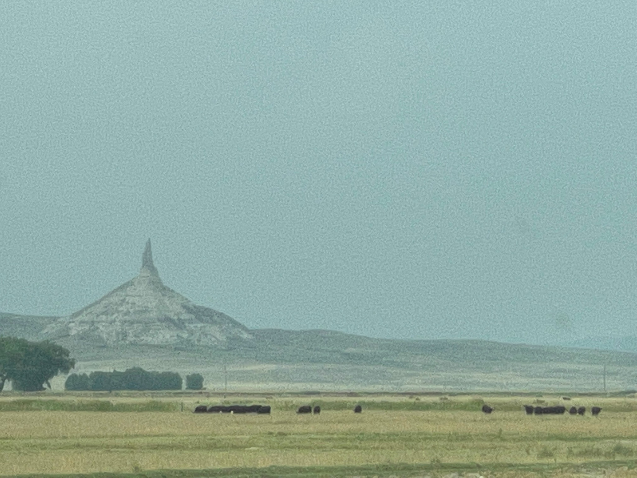
As we neared the town of Gering we could see some of the bluffs in the distance…
We could even see Chimney Rock, the famous landmark that all Oregon Trail emigrants mentioned in their diaries…
The reason for the terrible picture is that the skies are overcast with smoke from the Canadian fires (or, as they call them in Canada, fires..).
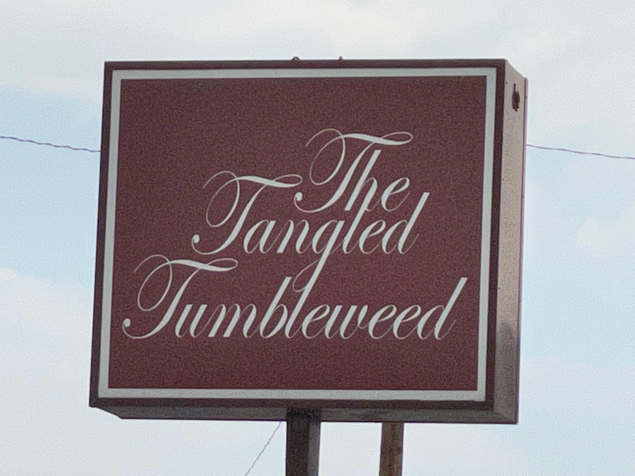
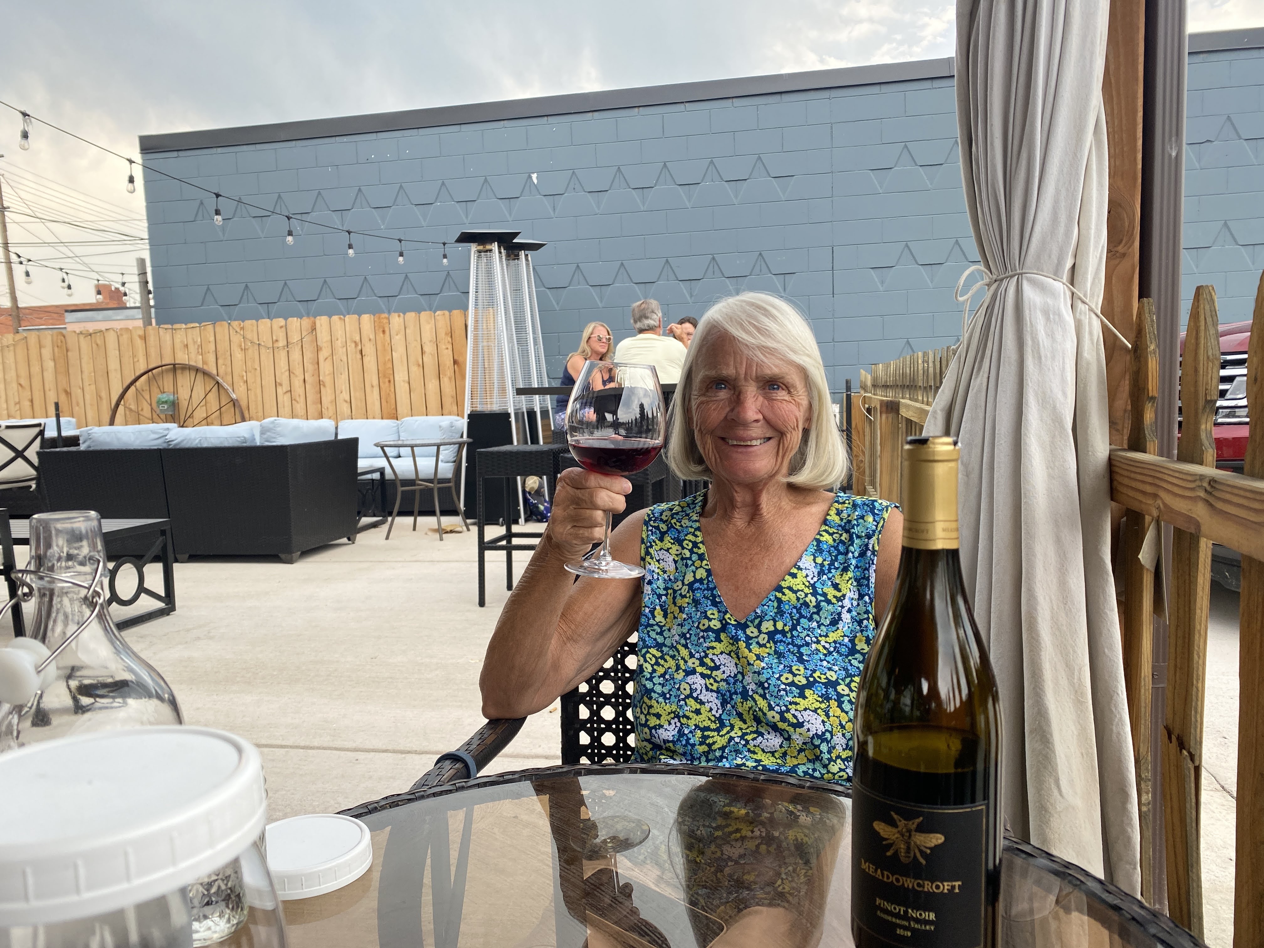
We turned off towards the town of Scottsbluff. We parked the Villa and found a good restaurant for lunch: The Tangles Tumbleweed.
We ordered a bottle of Russian River Valley Pinot Noir, and Lynda was happy…
We enjoyed bacon wrapped dates stuffed with bleu cheese, and also duck wonton with a berry compote. Excellent food – we wished we could have ordered more. We have been surprised twice now in Nebraska with being able to find great lunch restaurants…
We headed towards the RV Park. We can see Scott’s Bluff to the west, still overcast with haze and smoke…
We parked the Villa and we are now all hooked up…
The RV Park has very large sites and lots of grass…
We settled down inside and started to think about happy hour when the wind started to blow. Hard. I went out to put down the awnings and I was caught in a deluge… We were hit with a huge thunderstorm! However, an hour later it had passed.
We were joined by another Airstream couple for Happy Hours. He brought a Vodka Gimlet for me to try. Tasty!
Our guests left, and we had a light supper. An enjoyable time was had by all…
We awoke to a cool morning for the first time on this trip. Hot days can be handled better when it cools off at night…
Today we have an excursion to Ash Hollow State Historic Park, with a side trip along the way to “Windlass Hill”. As usual, we formed a pickup truck caravan and drove the 30 miles to Windlass Hill.
Windlass Hill was the location where the pioneers left the flat plains and traveled down to Ash Hollow, adjacent to the North Platte River. This route cut off about two weeks off the trip to Oregon. From 1835 to 1960 about 350,000 covered wagons passed through here, mostly in the months of May and June. If they were any later than very early July it would be unlikely they could make it through the Rocky Mountains before winter closed all the passes…
The name, Windlass Hill, is mostly apocryphal. There was no windlass here. (Maybe there should have been…) Due to the steepness of the grade, the wagons could easily travel at speeds that were not good for them or the livestock pulling the wagons. They were slowed by locking the wheels, which prevented the wheels from turning and increased friction. However, the “trail” down the hill was a 25 degree slope and the height was over 300′. Since the ground here is Nebraska Sandhill, today we don’t see “ruts”, but “swales”. As the wagon wheels tore into the grass and sand ruts were made; however, over time, with rain and erosion, today these areas have become “swales”. These swales are visible today.
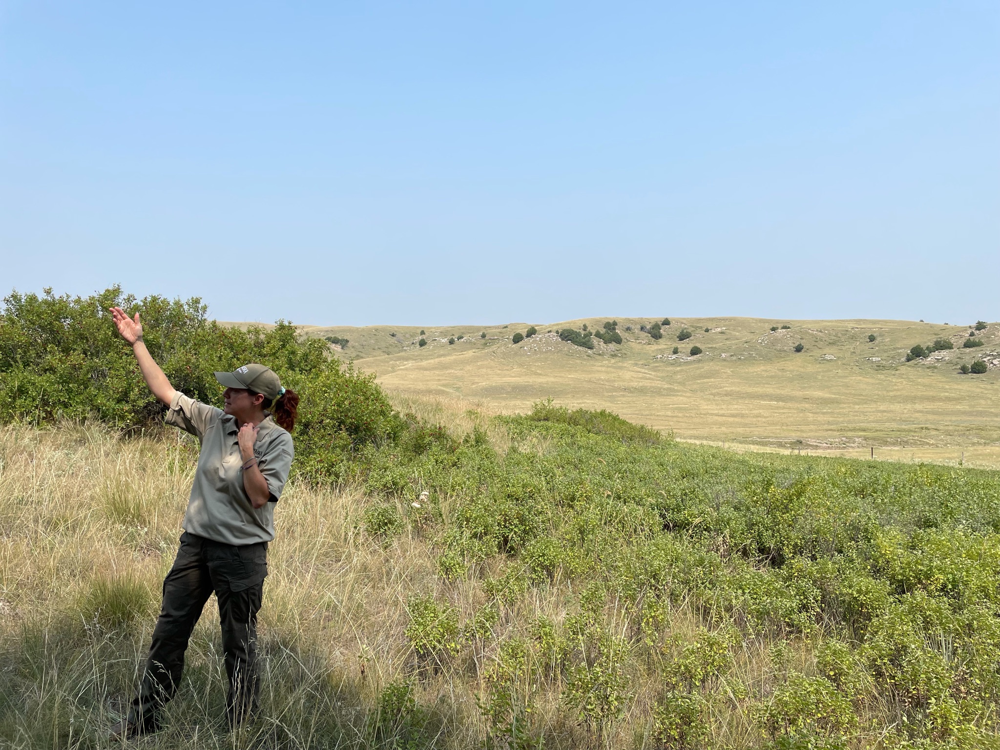
We parked our trucks and walked over to listen to the Ranger tell us what we were seeing…
Here is what some of the smaller swales look like today…
There was a paved trail that we could walk up the 300′ to the top…
The official marker…
The view down towards Ash Hollow, and our parked trucks…
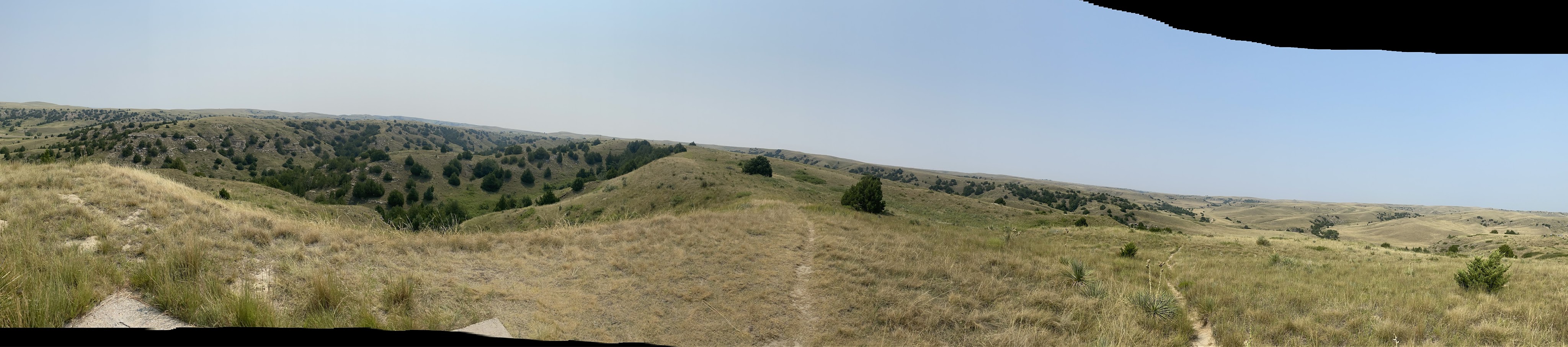
A panoramic photo from the top of Windlass Hill…
This is what the pioneers saw from the top. Remember, though, there were no trees in 1950, and the river was visible. This was the first good camping spot that they had seen for weeks. This entire valley was crowded with covered wagons; they stayed 2-3 days, collecting water, game, maybe some buffalo chips…
Here you can see more dramatically how the swales have now eroded into full blown ravines…
As different paths down the hill became more eroded and unpassable the pioneers found new routes. These exhibits in the Ash Hollow Visitor Center show the several routes…
After our brief time in the Visitors Center we traveled on around the park. This is a stone school house. It was built in the late 1800s to replace a sod schoolhouse. It was in use into the early 1900s…
We drove down to this valley to hear more information from the ranger…
From this valley we can see the sandstone and shale in the hills above.
The pond beyond was part of a series of springs that, in the winter and spring, form a stream that flows down to the North Platte River… This valley would be crowded with covered wagons in the spring…
That was all for the Ash Hollow excursion. We returned to the Villa and had a little lunch. At 5:00 we drove the short distance into Ogallala to visit the Petrified Wood Museum. We saw many interesting specimens of petrified wood and other mineral formations. Dinner was catered by Ole’s Big Game Steakhouse and Lounge in nearby Paxton. I don’t think we ate any big game, but the food was reasonably good…
We had a driver meeting after dinner. Tomorrow we move about 130 miles to Gering, NE, a short distance from Scottsbluff, another landmark on the Oregon Trail. We returned to the Villa. We shared a bottle of wine with caravan friends…
Another travel day. We went only about 150 miles, but there were many interesting stops along the way…
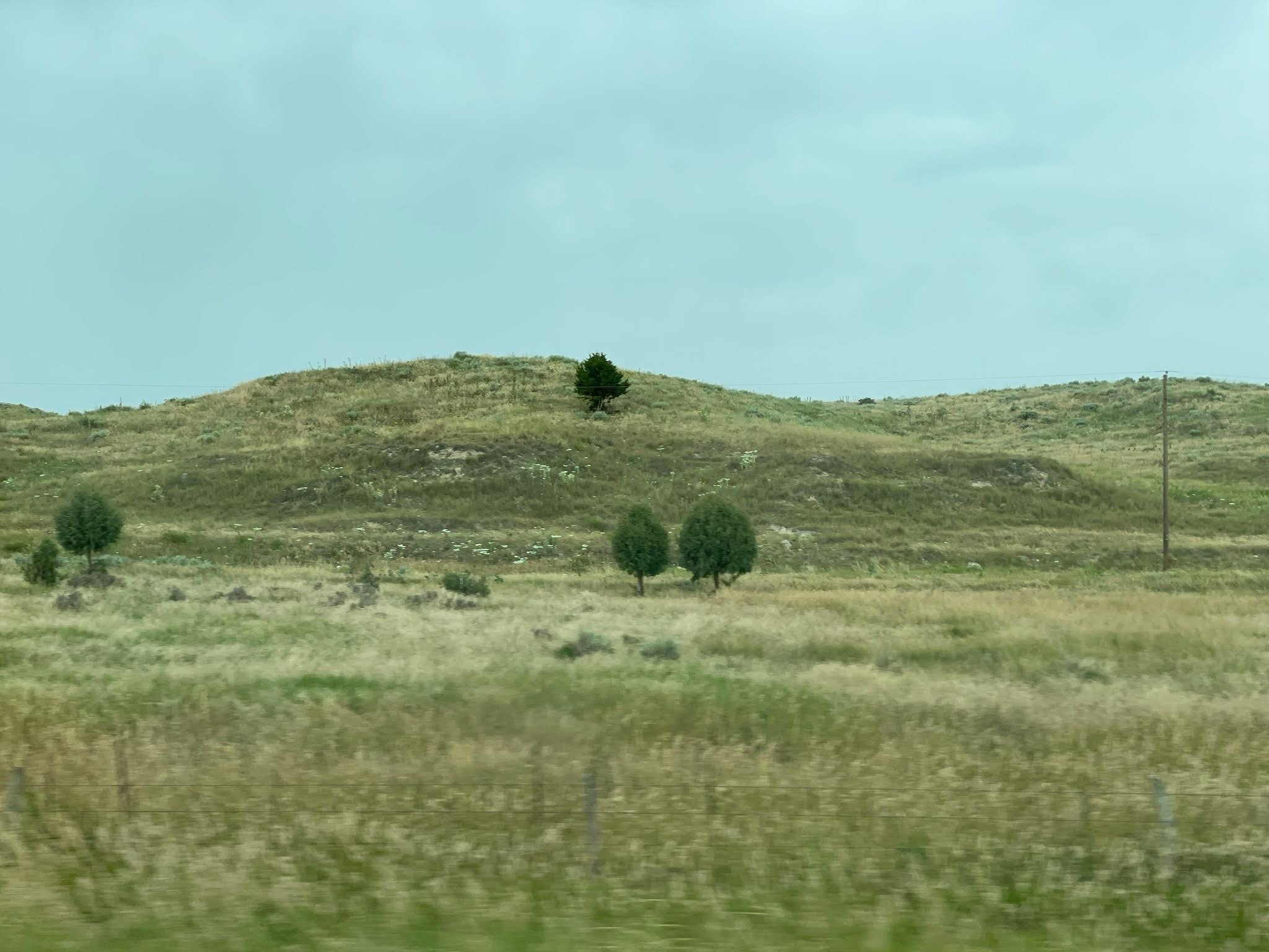
But first, we enjoyed the Nebraska scenery…
We were told by our caravan manual to stop off and see The Golden Spike. Well, the only golden spike that I knew of was at Promontory Point, Utah, where the Central Pacific and Union Pacific Railroads completed the transcontinental railroad. So we had no idea what to expect here. Our GPS took us on a wild goose chase around and through several residential neighborhoods until we finally arrived near the railroad tracks. We figured we were getting close. Then we saw the tower:
We figured this was probably worth a stop. We had no idea!
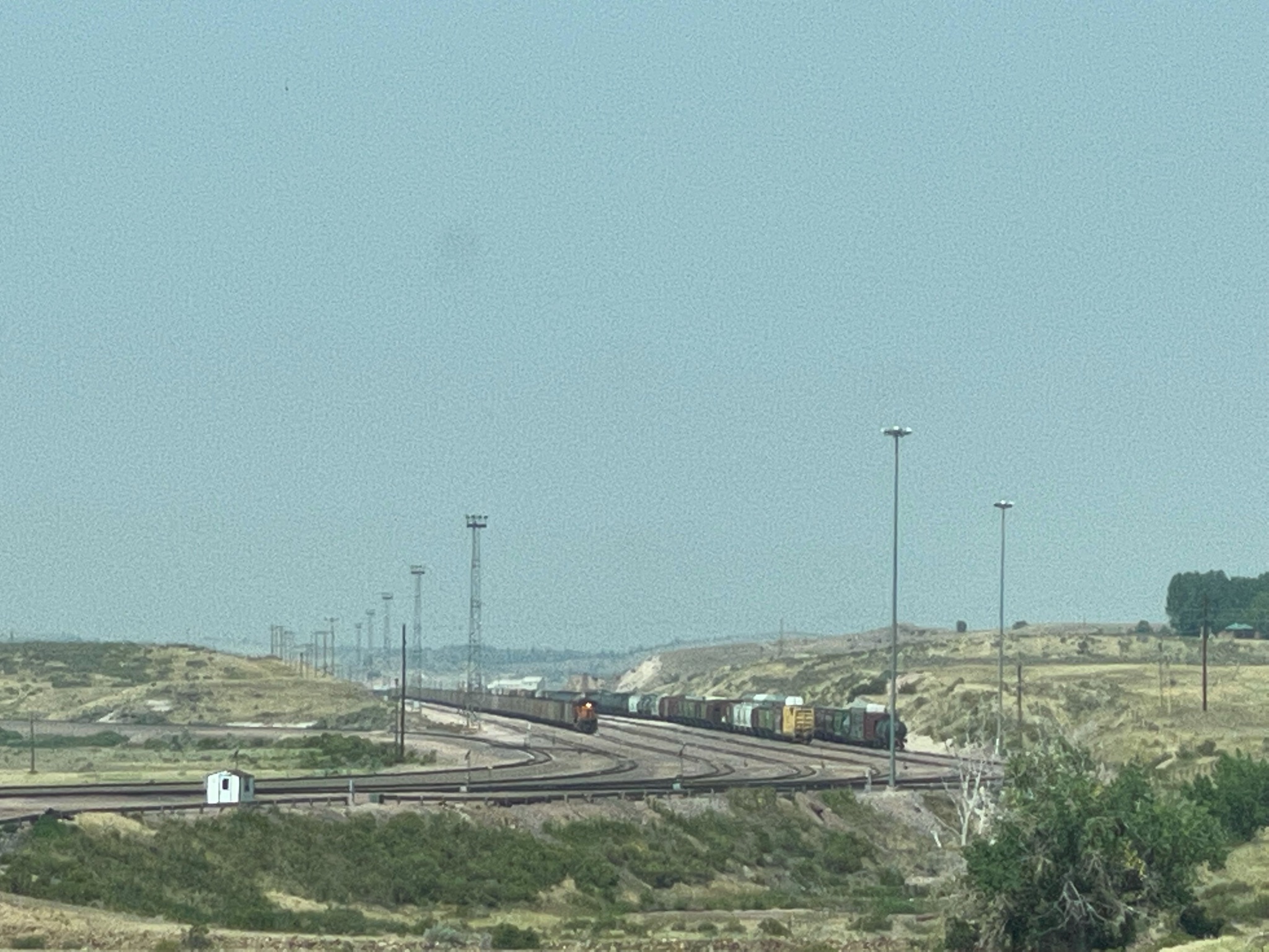
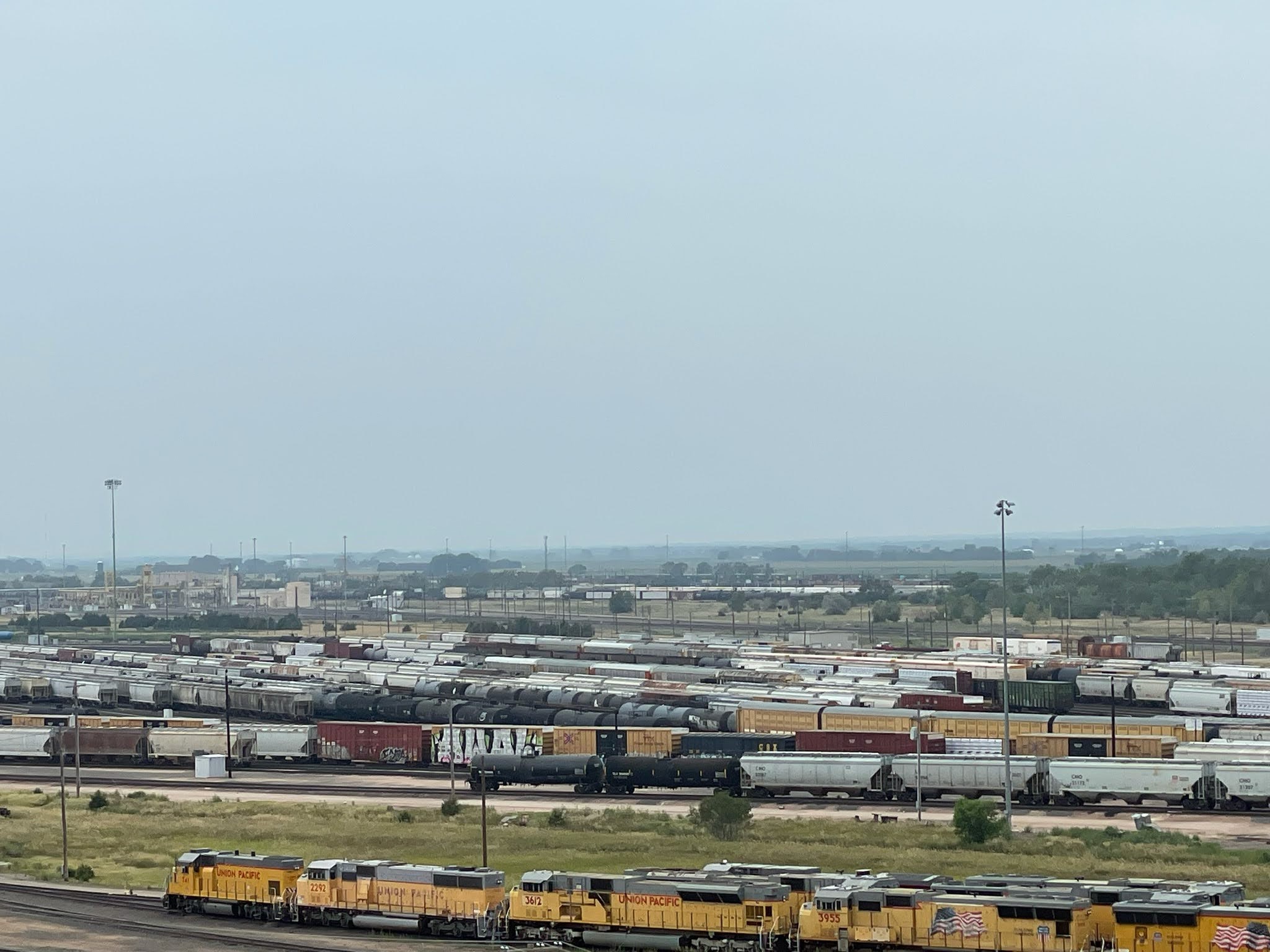
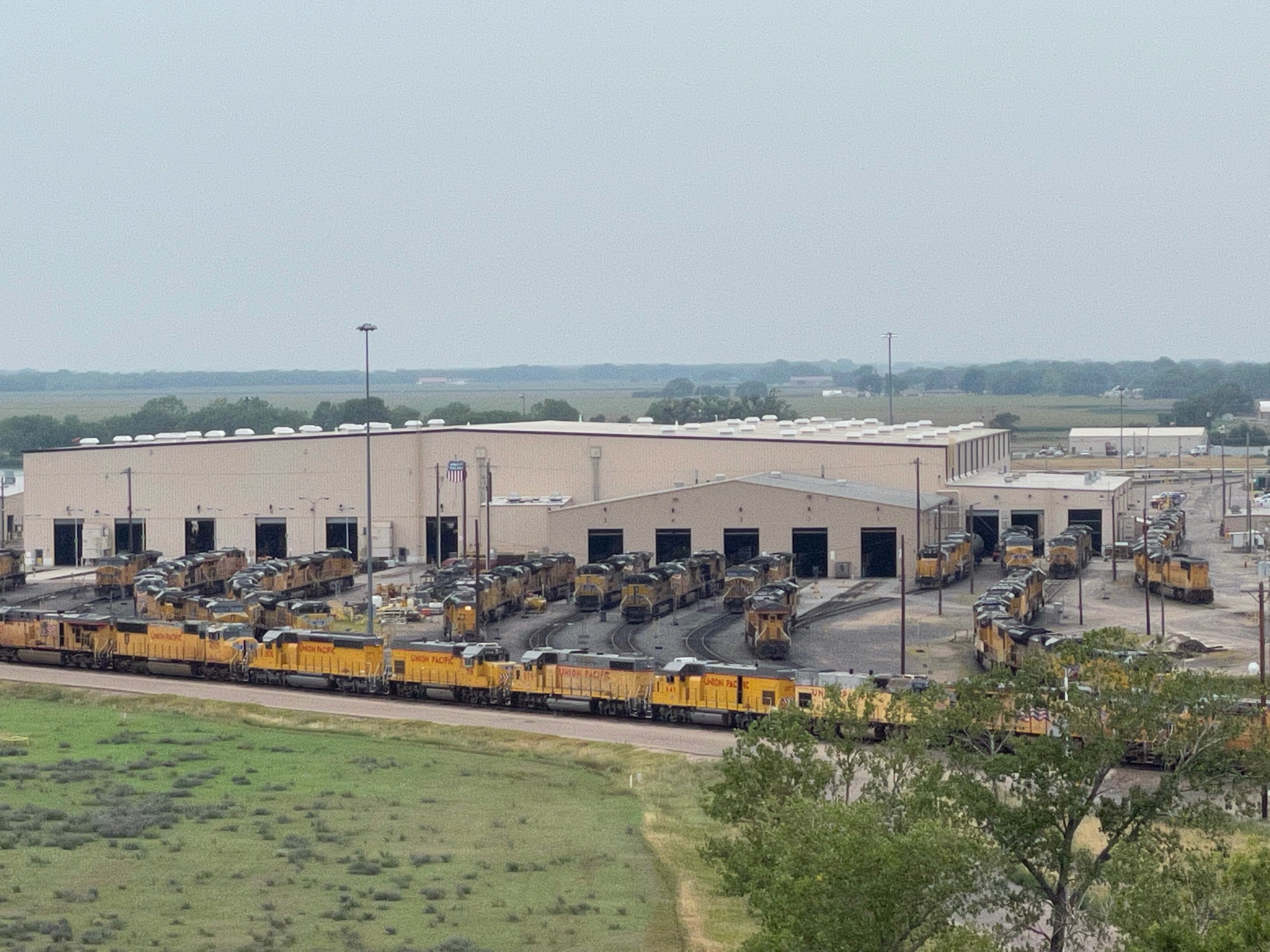
This is The Bailey Classification Yard! We learned a little history:
During the construction of the transcontinental railroad, North Platte was platted as a railroad town by Union Pacific’s Chief Engineer Grenville Dodge. It was chosen because of its close proximity to good water and its distance from Grand Island, Nebraska. In 1866 the first train rolled through what was known at the time as “Hell on Wheels” town. General Dodge quickly moved to construct major shop facilities and winter quarters and by 1867, main line operations began. Just two years later on May 10th, East met West at Promontory Summit in Utah, 690 miles east Sacramento and 1,087 miles west of Omaha. The railroad crossed two-thirds of the continent over some of the most difficult terrain on earth. It was called, “The Work of Giants” and it was the end of the frontier, as we knew it.
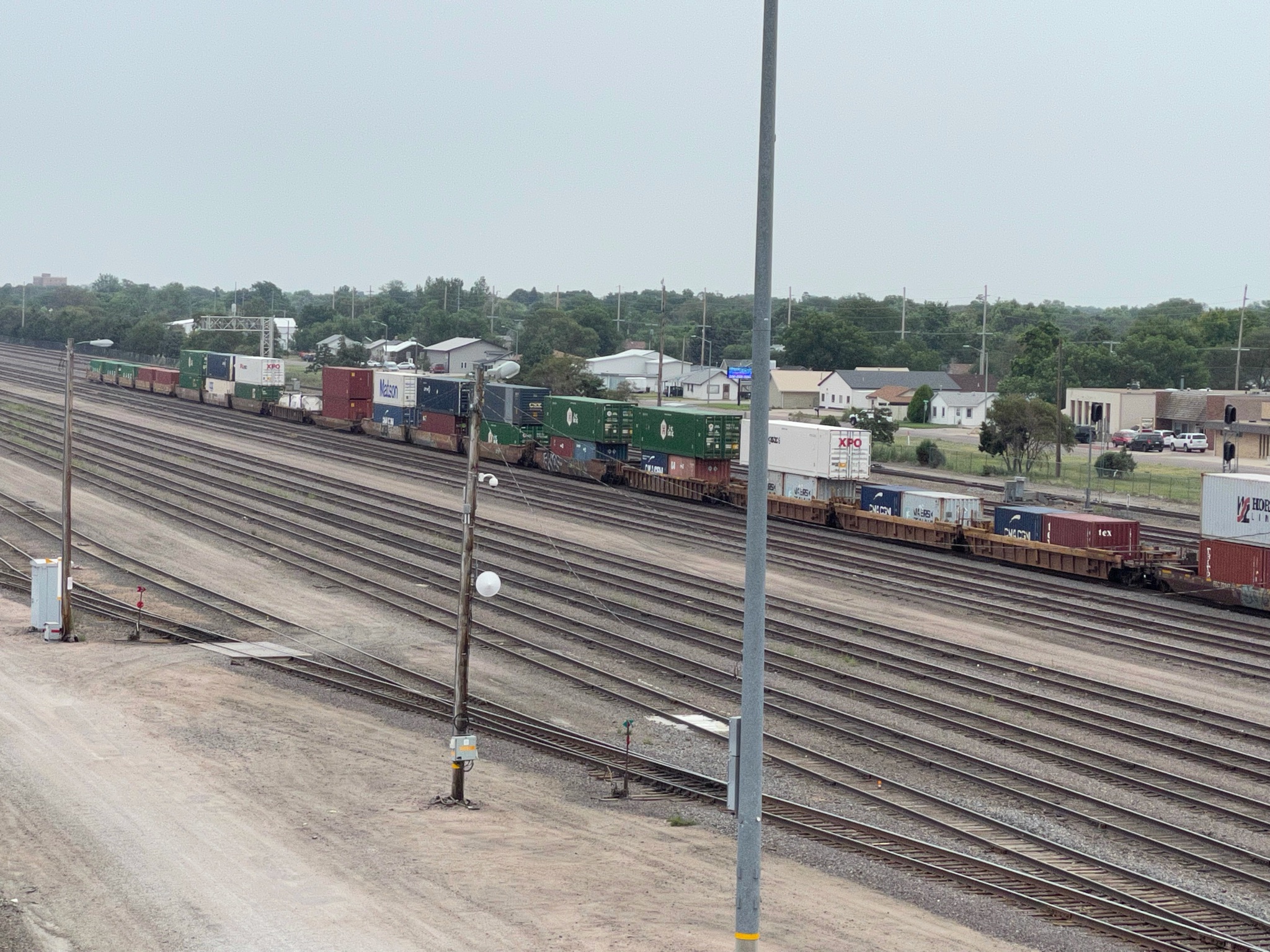
Today Bailey Yard, named for former Union Pacific president Edd H. Bailey, is the world’s largest train classification yard in the world. Over 3,000 cars are classified (or sorted) to make sure the cargo reaches its final destination. The yard is eight miles long, 1 1/2 miles wide, and at its widest point contains 320 sets or railroad tracks. The yard is located in the midst of key east-west and north-south corridors, on the busiest freight rail line in America, making it a critical component of Union Pacific’s rail network.
Bailey Yard has 17 receiving and 16 departure tracks handling 14,000 rail cars every 24 hours. The railroad cars are sorted daily in the yard’s eastward and westward yards, nicknamed “hump” yards. Using a mound cresting 34 feet for eastbound trains and 20 feet for those heading west, the hump yards allow four cars a minute to roll gently into any of 114 “bowl” tracks. Here they become part of trains headed for destinations in the East, West and Gulf Coasts of America, as well as the Canadian and Mexican borders. An average of 139 trains per day are comprised of raw and finished goods, such as automobiles, coal, grain, corn, sugar, chemicals, and steel along with consumer goods, including electronics, apparel and other retail products.
To keep America moving forward, the train operations and repair shops at Bailey Yard are open 24 hours a day, seven days a week. The fueling and service center processes more than 8,500 locomotives each month, using technology like overhead cranes and elevated work bays to maintain fluid operations.
All train movement throughout Bailey Yard is handled through the on-site command center with the latest computerized control systems. The Bailey Yard command center is tied to the Harriman Dispatching Center in Omaha, which controls hundreds of intercity trains daily throughout the company’s 23-state rail system. The Bailey Yard has over 2,500 employees, working 24 hours per day…
So we stopped to take a look… More trains than you can keep track of!
At the observation deck atop the tower we could see the operations, including the hump yards, as the incoming trains are broken up and re-combined into the various outgoing trains.
It was a fascinating opportunity to see how trains really work! We loved it!
We could even see some of our friends parked next to us down below…
So after this exhilarating tour we headed off to the Lincoln County Historical Museum. It was similar to other small county museums…
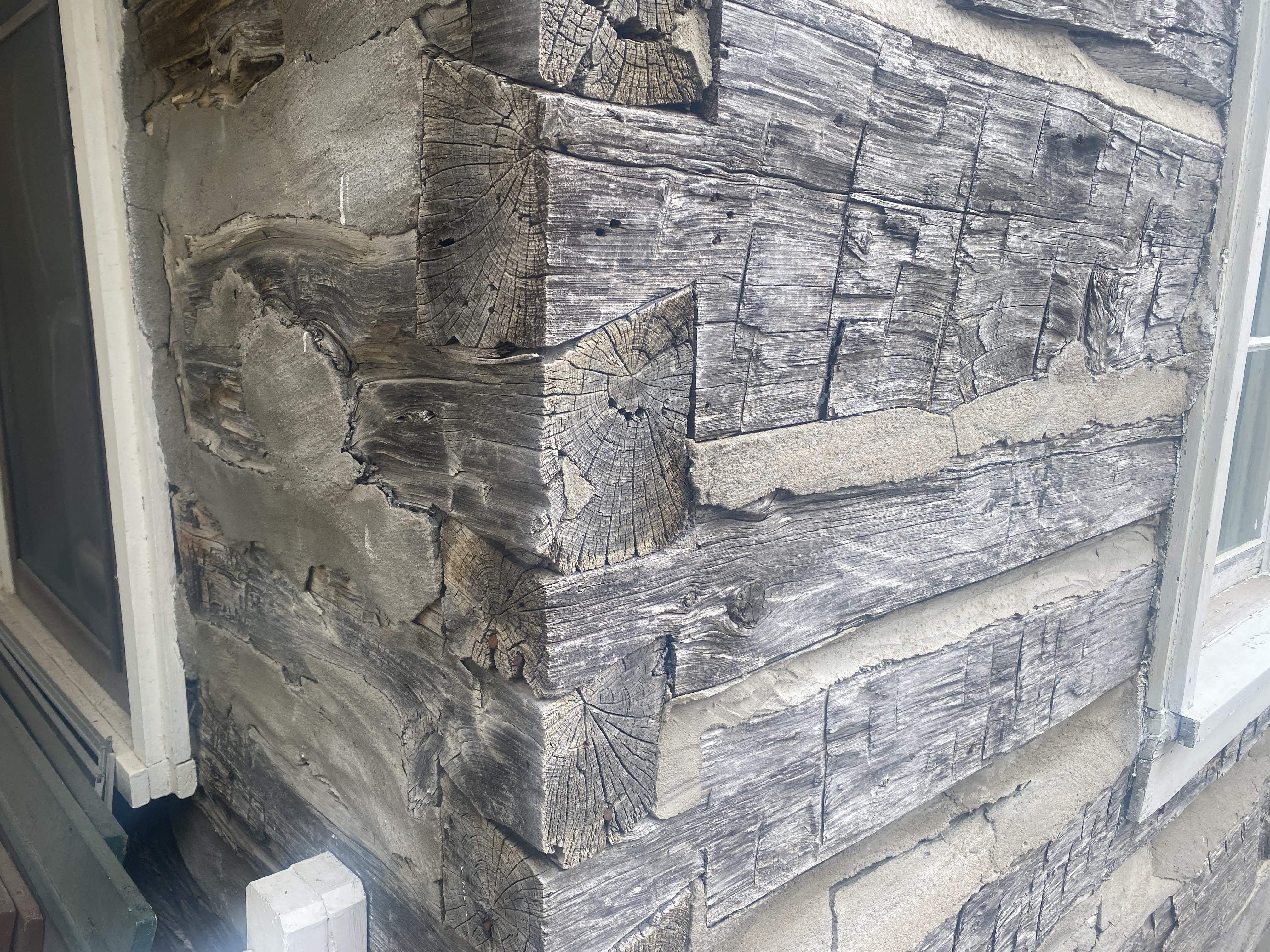
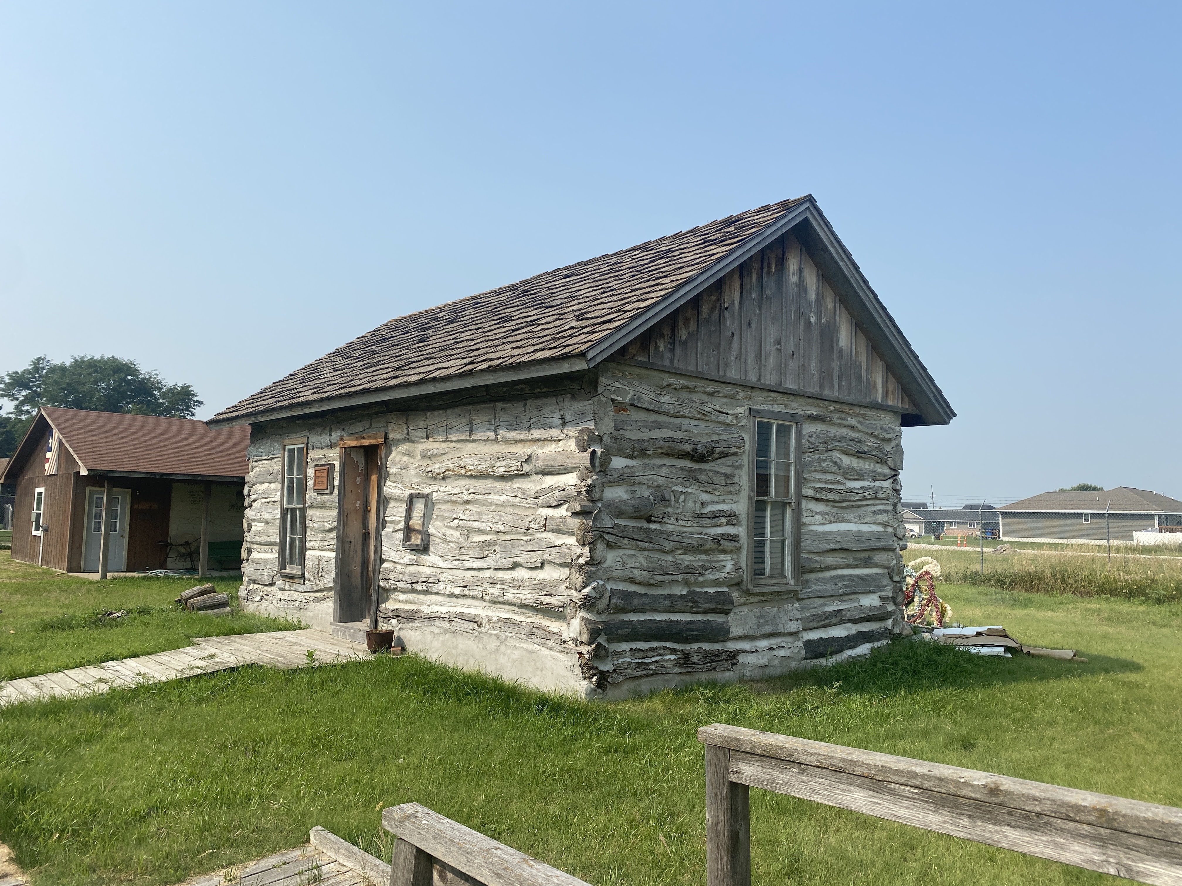
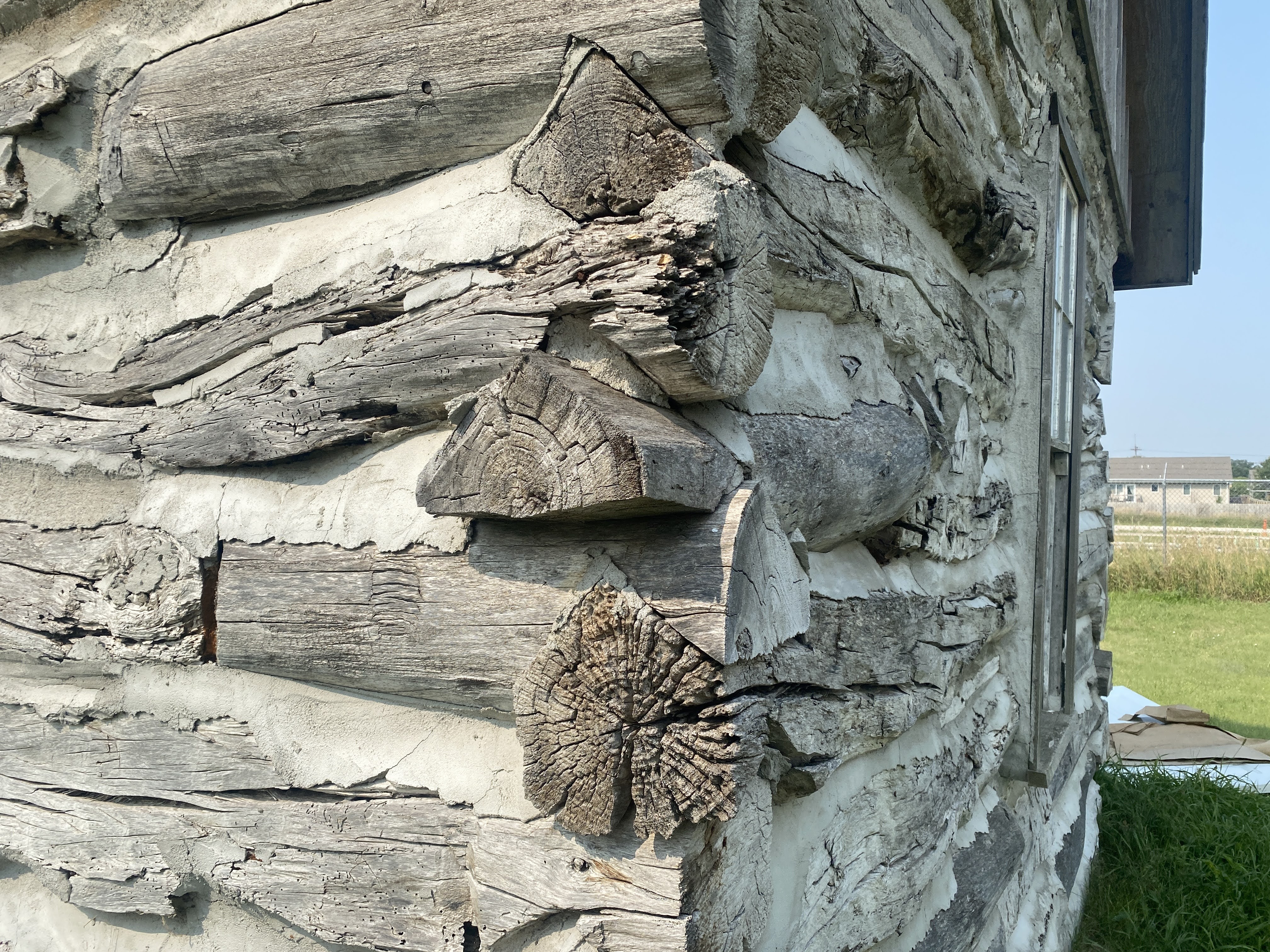
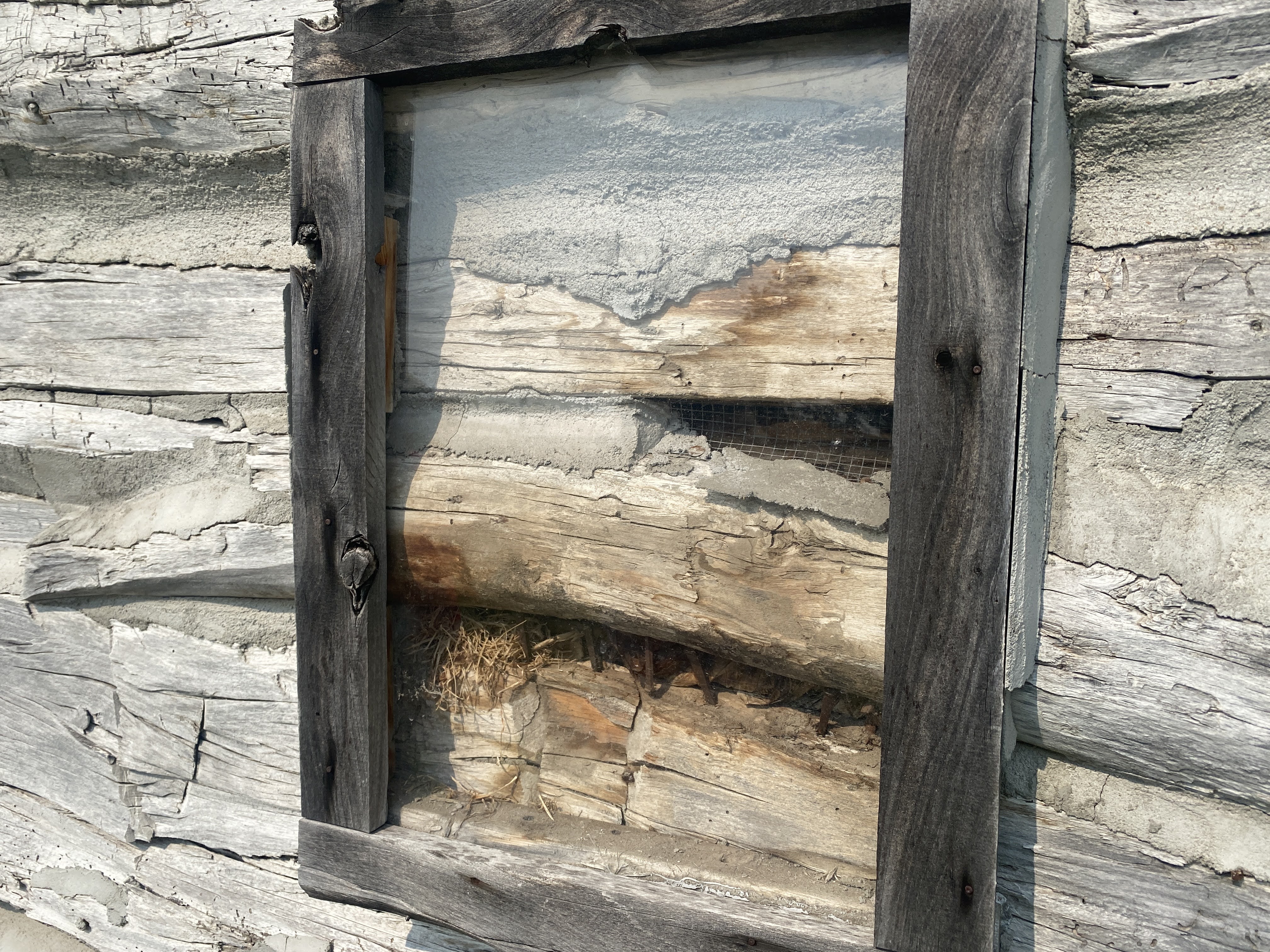
This one had a rare two story log cabin…
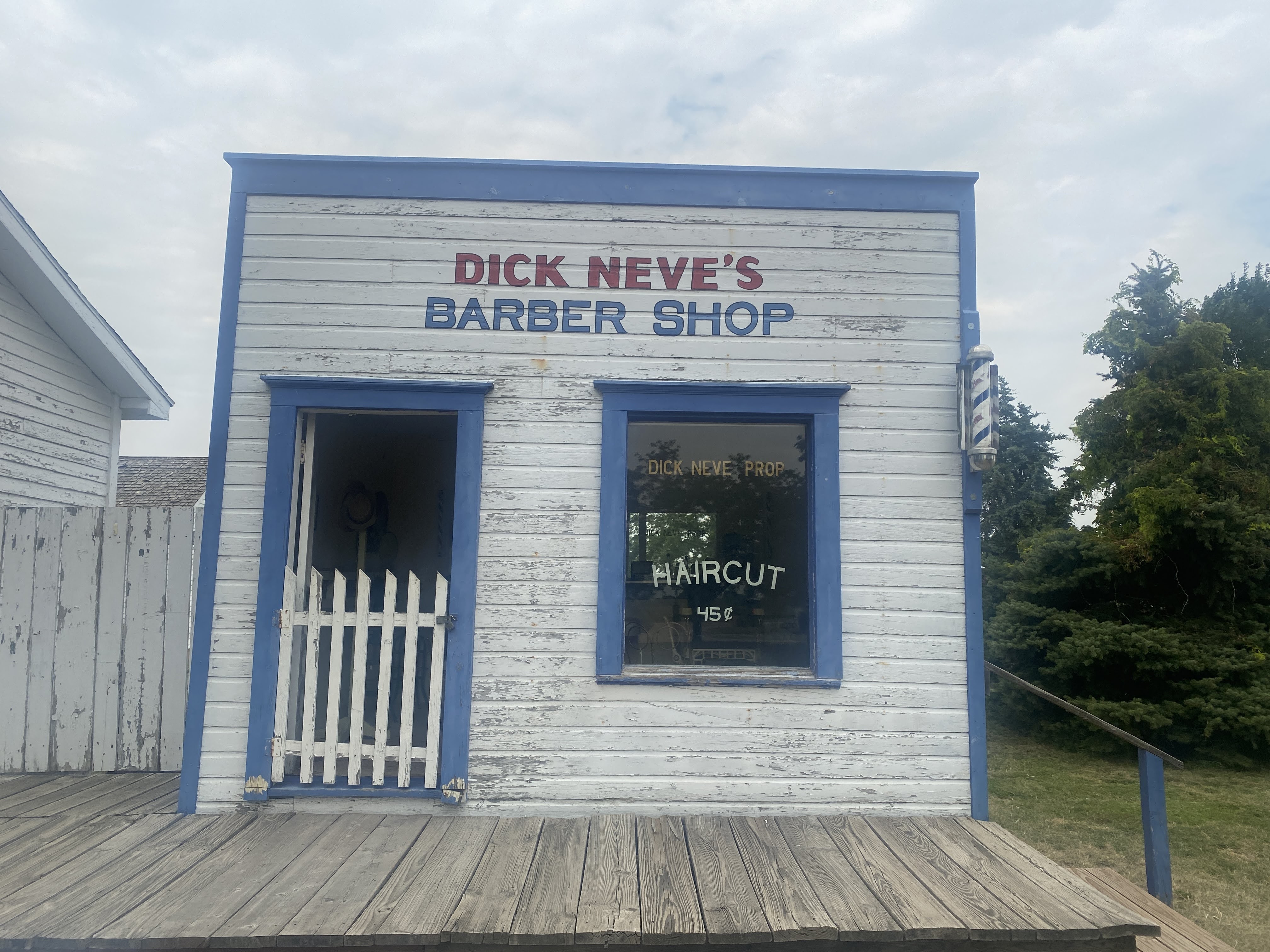
This barbershop was built in 1900…
Typical mercantile building you would see on Main Street in the 1890s…
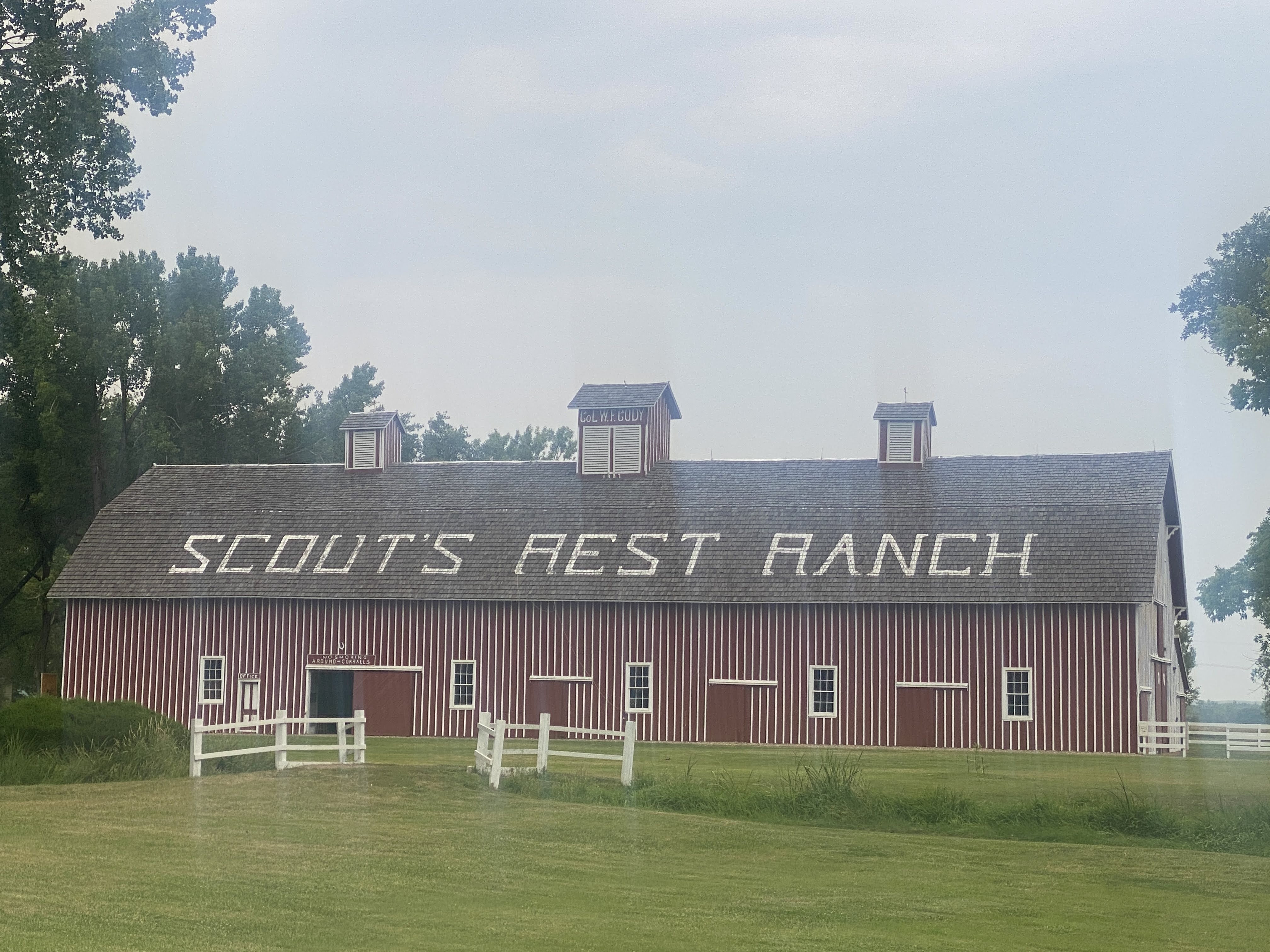
Then we walked the 1/2 mile to see Scout’s Rest Ranch…
Scout’s Rest Ranch was Buffalo Bill’s retreat and retirement home. He lived here when not traveling with his Wild West shows, and then again after the shows were over…
William Frederick “Buffalo Bill” Cody (February 26, 1846 – January 10, 1917) was an American soldier, bison hunter, and showman. He was born in Le Claire, Iowa Territory (now the state of Iowa), but he lived for several years in his father’s hometown in modern-day Mississauga, Ontario, Canada, before the family returned to the Midwest and settled in the Kansas Territory (now the state of Nebraska).
Buffalo Bill started working at the age of eleven, after his father’s death, and became a rider for the Pony Express at age 15. During the American Civil War, he served the Union from 1863 to the end of the war in 1865. Later he served as a civilian scout for the US Army during the Indian Wars, receiving the Medal of Honor in 1872.
One of the most famous and well-known figures of the American Old West, Buffalo Bill’s legend began to spread when he was only 23. Shortly thereafter he started performing in shows that displayed cowboy themes and episodes from the frontier and Indian Wars. He founded Buffalo Bill’s Wild West in 1883, taking his large company on tours in the United States and, beginning in 1887, in Great Britain and continental Europe.
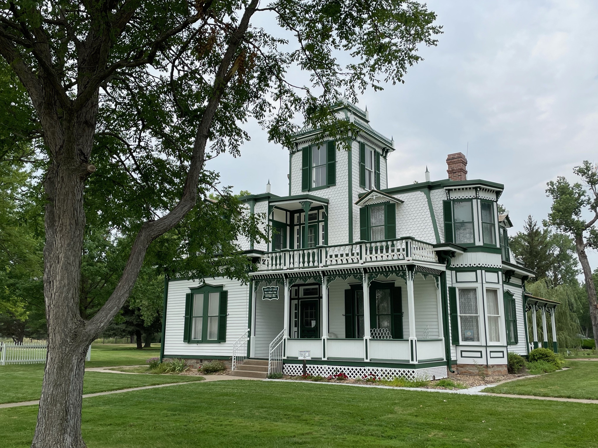
This is his house at the Scout’s Rest Ranch. It was built in the late 1880s. It is considered to be in the “Second Empire” style, with elements of Italianate and Eastlake detailing. In my opinion, it is a big mess… Look at the shutters. Why were shutters added to the windows? Either to keep the Indians out (not applicable here) or to keep the sun off and to insulate against the cold in winter. Look at these shutters: The cannot do either: they don’t even cover the entire window if they were to be closed… I hate phony stuff like this!
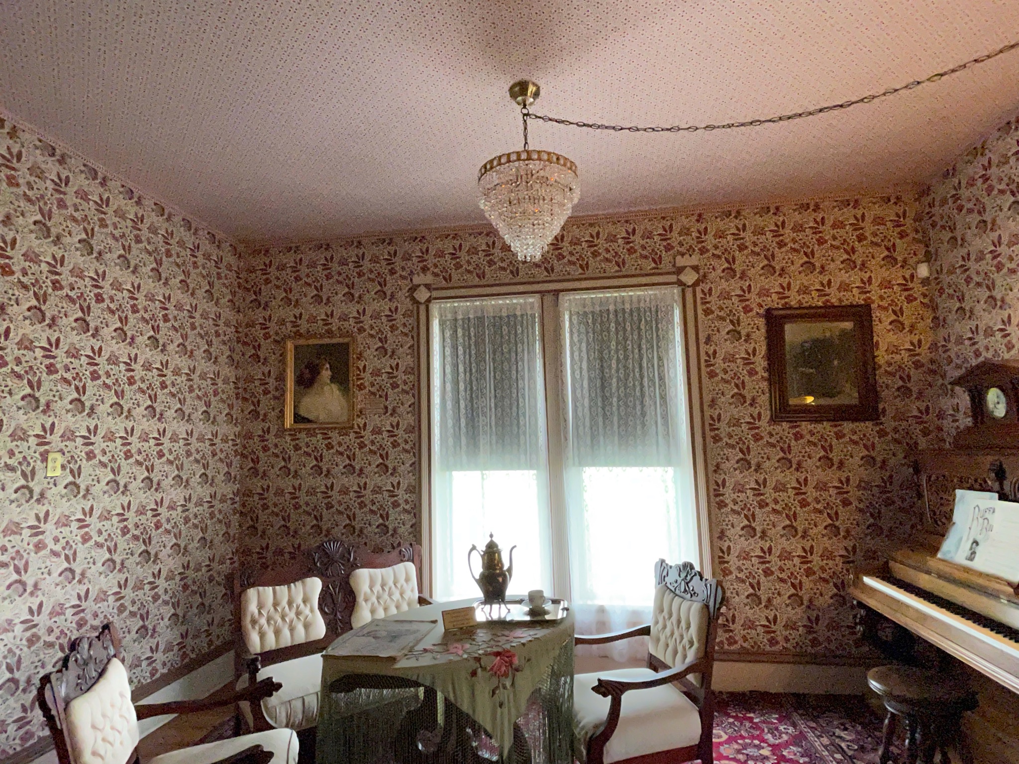
Inside the decoration is “authentic Victorian”… I hate Victorian interiors! It hurts my eyes! That wallpaper is abominable!
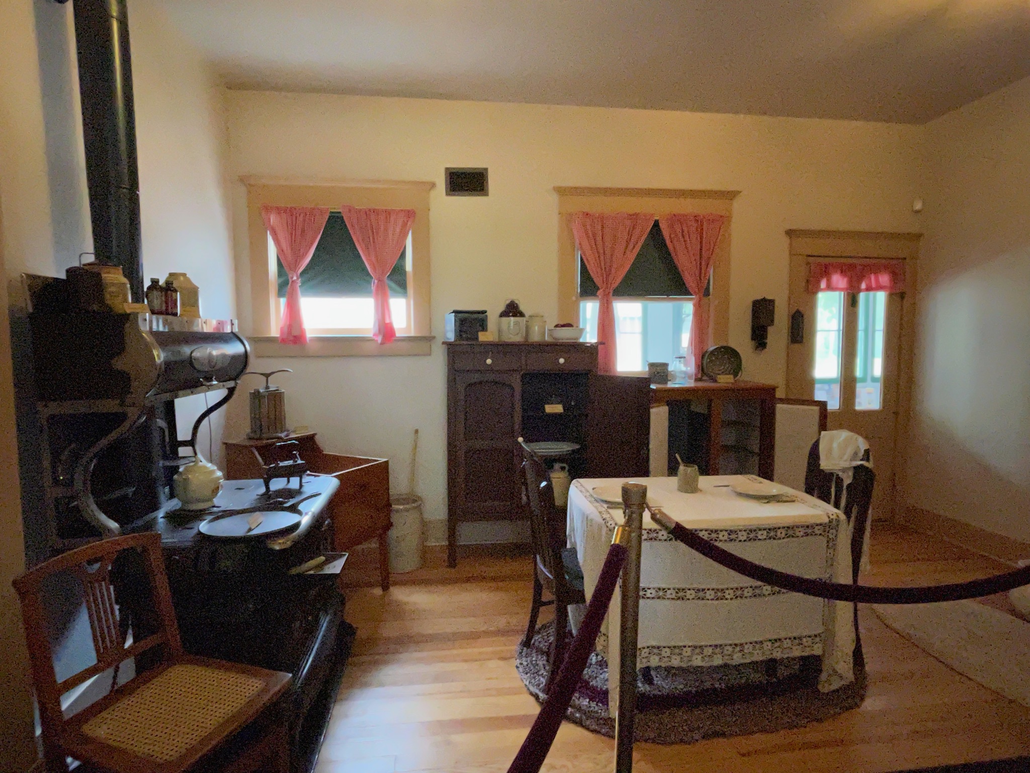
The outbuildings were interesting…
The Ice House:
The Spring House: (It would also make a good wine cellar…)
The Cob House: Corn cobs were stored here to burn in the stoves in the house…
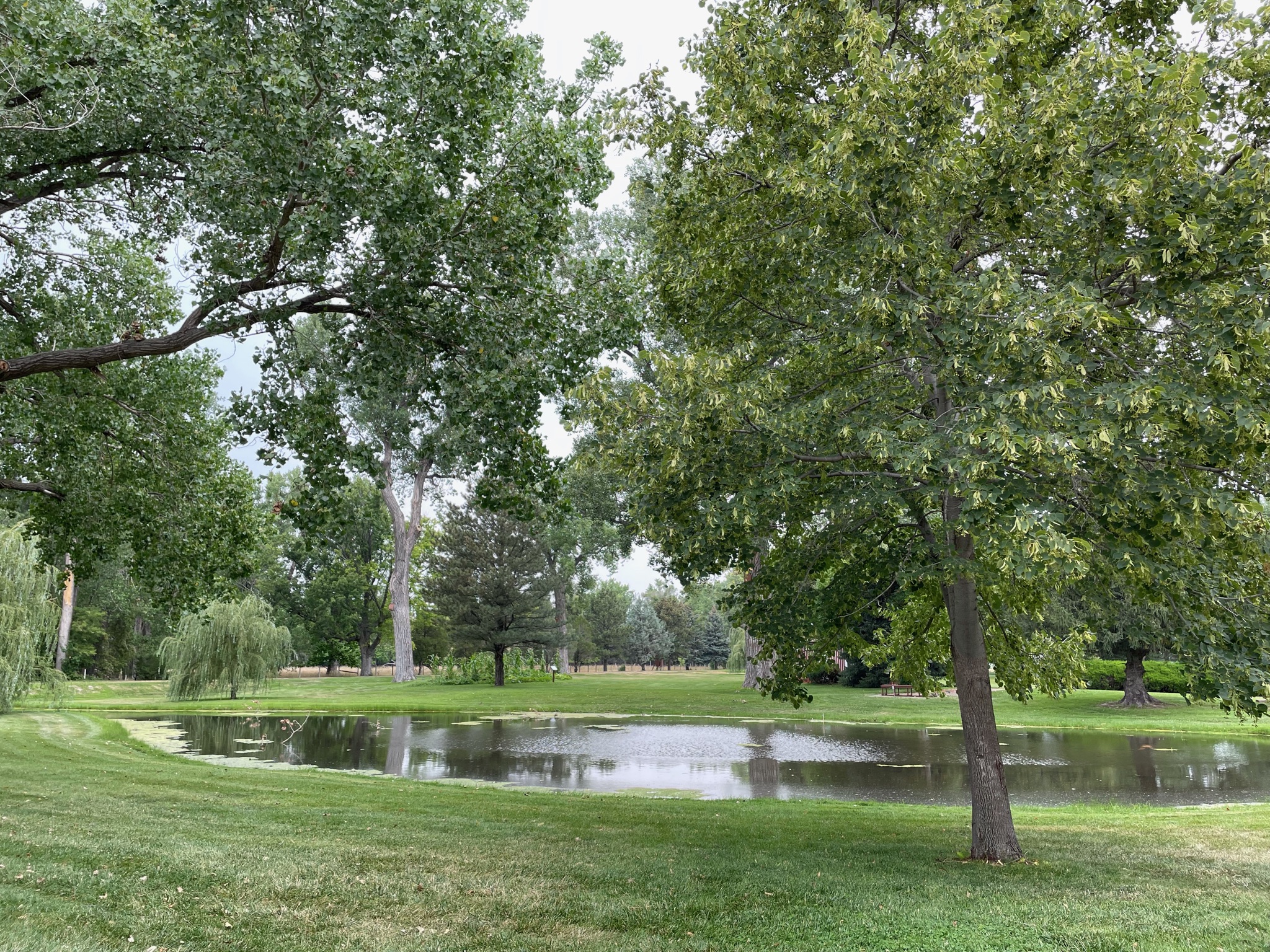
Lakes are always nice:
So we set off again, heading west to Ogallala…
We arrived at the RV Park and we were soon set up…
We had our last GAM.
This afternoon as we crossed over to the western-most counties of Nebraska we moved from Central time to Mountain time. But our phones, watches, and the truck GPS have a hard time handling the change. So our clocks have been flipping back and forth between the two zones; we never know what time it is…
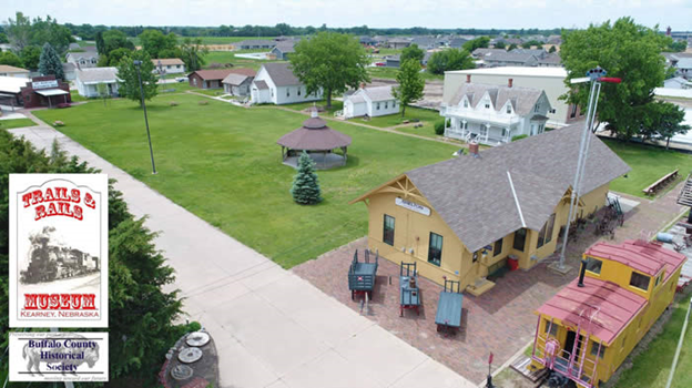
We set out today to see the sights in Kearney, NE.
Our first stop was the Trails and Rails Museum. We had a personal tour by a volunteer docent…
We saw a number of buildings that had been built in the 1880s and thereabouts… They show a nice representation of life in rural Nebraska at that time…
This first house was a lovely place, with Living and Dining Rooms, plus a “kitchen” (no running water…) downstairs; Upstairs were three bedrooms. This house is considered slightly unique in that it has closets. Few houses of this era do…
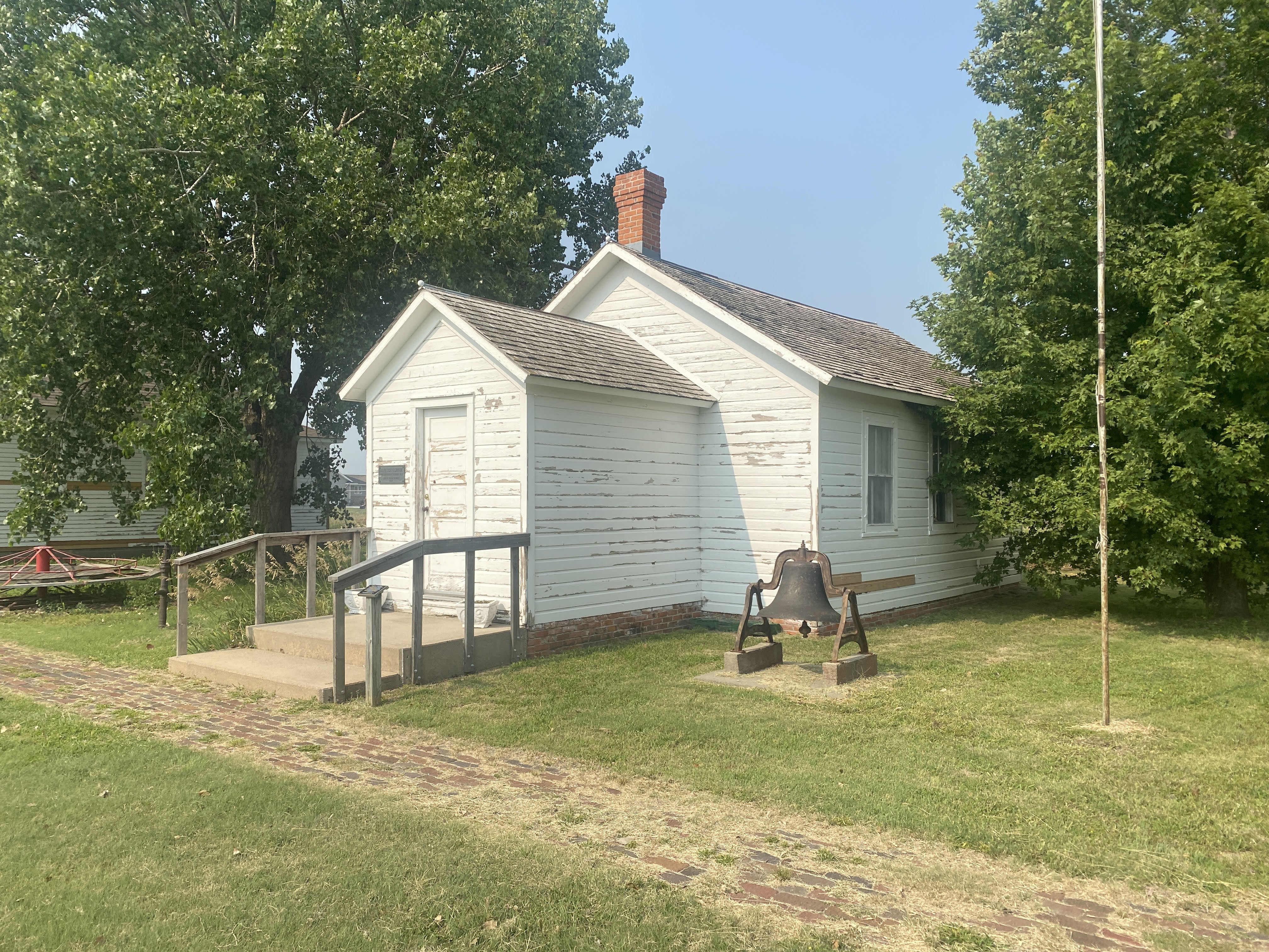
This is the school house, typical of the many rural schools of the day. Up to six or eight grades were all together in one classroom…
Desks here are typical in the 1880s…
As a personal note, while I did not attend school until the 1950s, I did attend a two room school with six grades, and we had these exact same desks… (We also had world maps that still had Prussia on them. But enough about the poor conditions in my childhood school…)
The museum had a log cabin. It has been restored, but you can still see what it looked like when it was moved here…
Here is another simpler house. Note the chimneys. There are no fireplaces in this house. Some of the rooms would have had a heating stove, maybe using wood or coal as a fuel, but more likely they were burning corn cobs. The flue from these stoves would then be connected to these chimneys…
There were also a barn and a blacksmith shop. These were modern buildings, but they were filled with ancient farm implements…
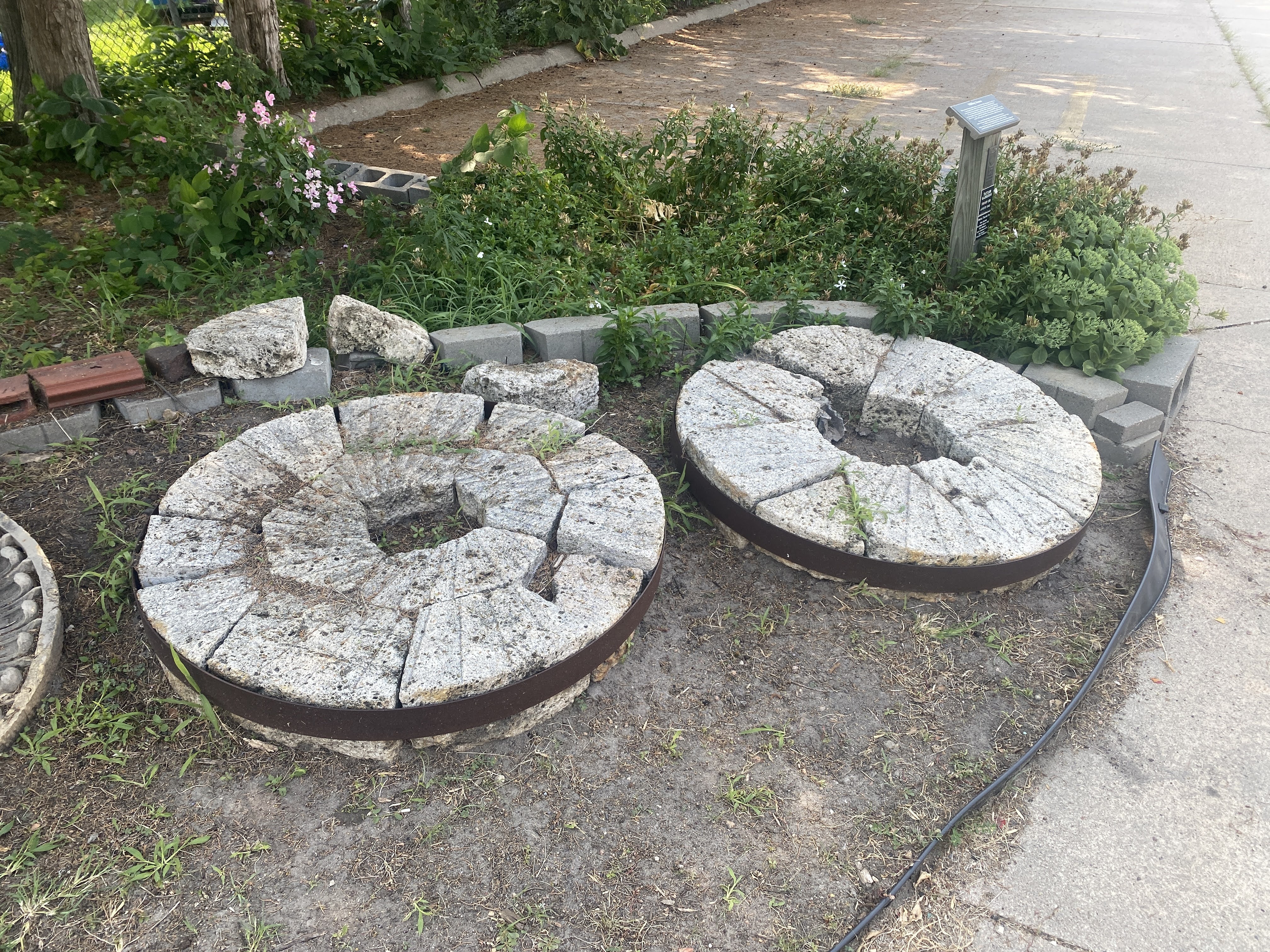
These are mill stones…
The train Depot and the train are always fun…
Note that the nearby town of Shelton is at elevation of 2019′. While the land looks flat here, in reality we are on the eastern slope of the Rocky Mountains. All the land in the Midwest slopes gradually up to the west. No wonder the pioneer on the Oregon Trail had such a hard walk… it’s all up hill! I contrast this with people in Georgia or Pennsylvania who live in the “mountains” at an elevation of 2,000’…
The depot had a very complete Station Master’s office, showing the files, ticket machines, telegraph apparatus, and the ability to change this tall signal from within the office…
Cabooses are always fun… This is where the crew lived and worked. The cupola was where they would sit and watch over the tops of the cars to make sure everything was OK…
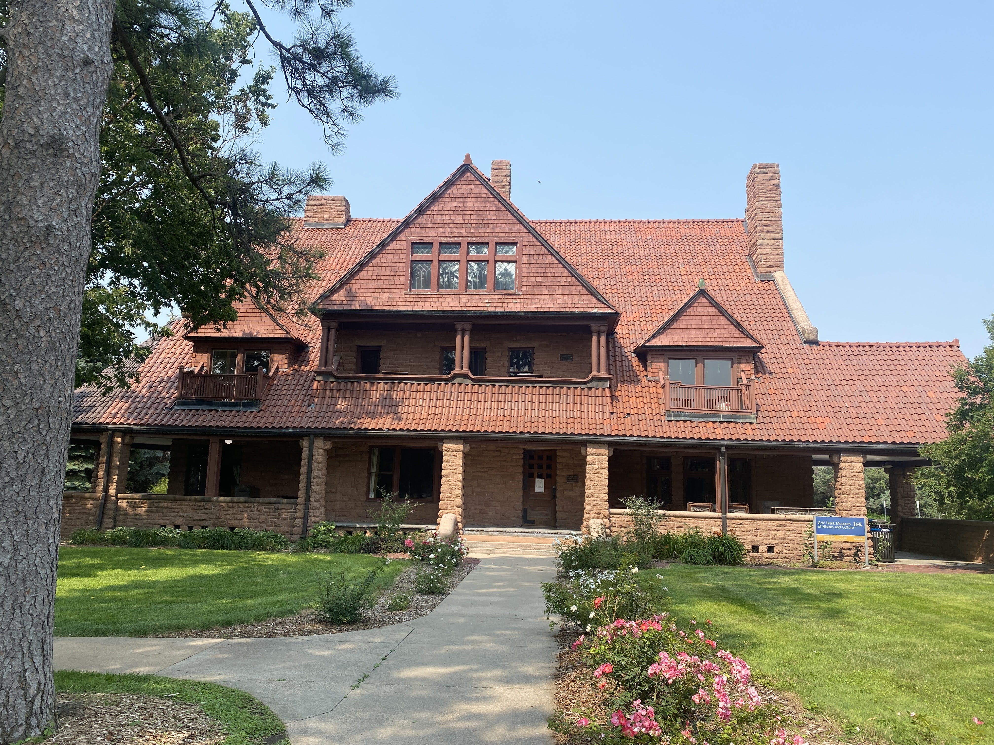
After the Trails and Rails Museum we drove to the campus of UNK, the University of Nebraska at Kearney. We stopped in to see the G.W. Frank Museum of Culture and History. Located in a beautiful Richardsonian Romanesque mansion, the Frank Museum is part house museum, part history museum, part cultural center. Built in 1890, the opulent home of capitalists George and Phoebe Frank was among the first electrified houses in the American West. Its unique story as a once modern, stylish residence, turned rental property, sanitarium, and tuberculosis hospital, offers a window into Kearney’s past – its early rise and fall, and its rebirth as a center for health and education. Exhibits, tours, and programs explore the history and culture of central Nebraska, from the Gilded Age to the present.
Unfortunately, the House was closed… We peeked through the windows where we could. We were disappointed!
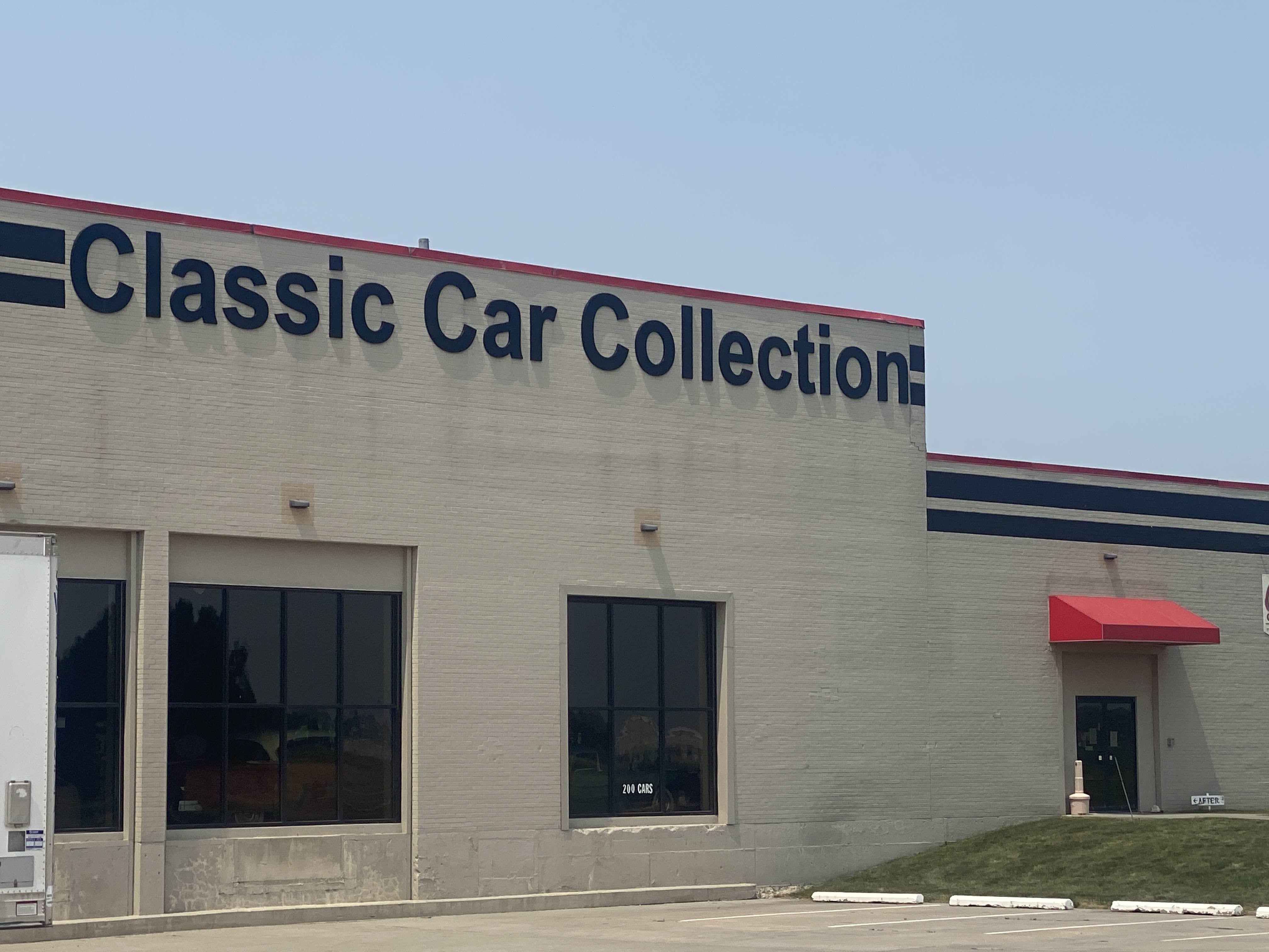
But we had other options… We drove over to the Classic Car Collection. Unfortunately, it was closed.
We only were able to see the “before” exhibit!
Next door to the car museum is a Cabella’s store…
We walked through their aisles. But we didn’t need any guns, mineral licks, or fishing gear. Lynda did buy a light windbreaker jacket, so the visit wasn’t a total waste…
We returned to the Villa. We had another GAM and we met more new friends. The smoke from fires in Canada did provide a remarkable sunrise…