This morning we headed out to see the Pueblo at Acoma, called Sky City…

Acoma Pueblo is an Indian pueblo approximately 60 miles west of Albuquerque. Four villages make up Acoma Pueblo: Sky City (Old Acoma), Acomita, Anzac, and McCartys. Today we are visiting Sky City – Old Acoma, a National Historic Landmark.
The Acoma people have continuously occupied this general area for over 2,000 years, making this one of the oldest continuously inhabited communities in the United States (along with Hopi, Zuni, and Taos pueblos).
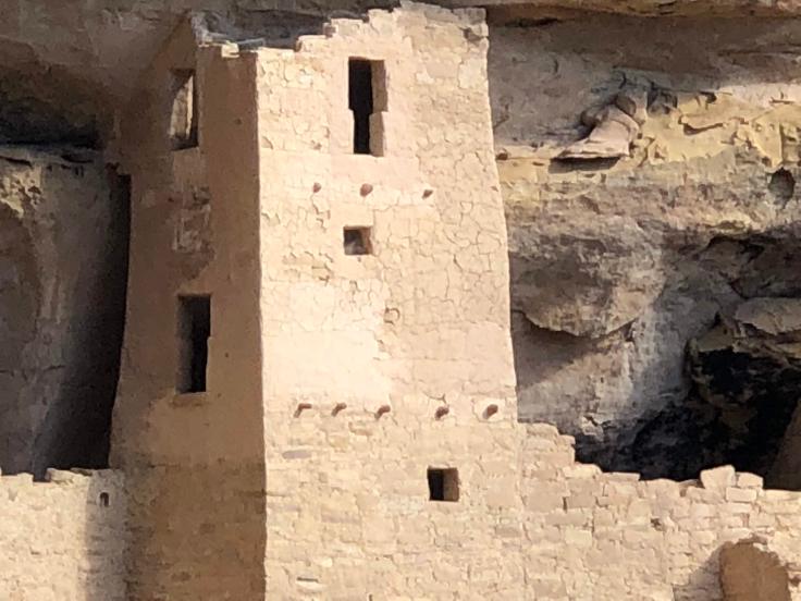
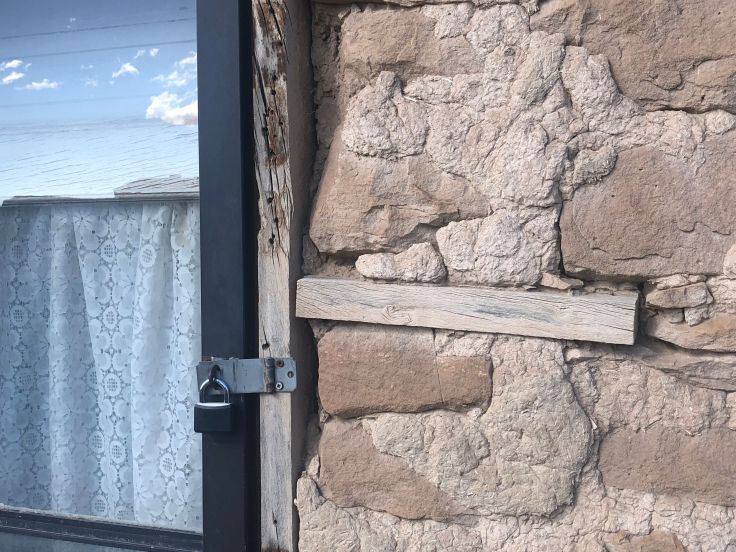
The Acoma people say that the Sky City Pueblo was established in the 11th century, with stone buildings as early as 1144 on the Mesa indicating as such, due to their unique lack of Adobe in their construction, proving their antiquity. These old buildings are native stone with mud mortar, covered with a straw-and-mud plaster.
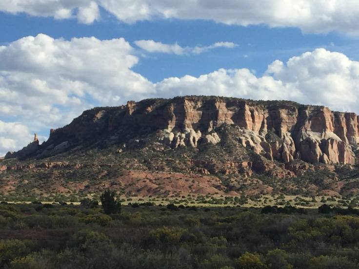
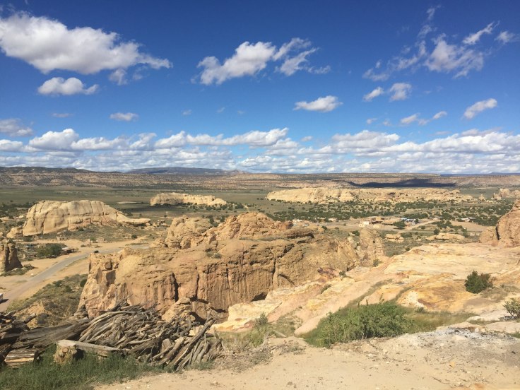
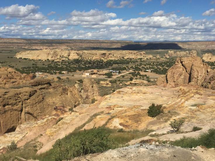
The Pueblo is situated on a 365-foot mesa, surrounded by a (relatively) fertile valley. The isolation and location of the Pueblo has sheltered the community for more than 1,200 years. They sought to avoid conflict with the neighboring Navajo and Apache peoples.
In 1540, Coronado’s expedition became the first non-native visitors to Acoma. While their first encounters were not particularly friendly, they did share food; Coronado’s men left on friendly terms.
Their next encounter was not so friendly. Hostilities ensued when the Spanish Conquistidors attacked Acoma, resulting in many lives being lost on both sides. The Spanish called for reinforcements, and they ended up taking many men and women as prisoners; they were deemed to be quilty of these hostilities and they were sentenced to 25 years of slavery. In addition, the men each had their right foot cut off. The Acoma lived under the Spanish rule until 1598. This dark period of Acoma is known as the Acoma Massacre.
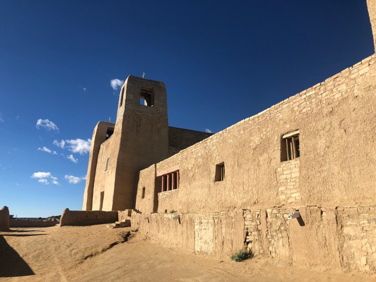
However, the survivors of the Acoma Massacre rebuilt their community between 1599–1620… Between 1629 and 1641 Father Juan Ramirez oversaw construction of the San Estevan Del Rey Mission Church. The Acoma were ordered to build the church, moving 20,000 tons of adobe, straw, sandstone, and mud to the mesa for the church walls. Ponderosa pine was brought in by community members from Mount Taylor, over 40 miles away. The 6,000 square feet church has an altar flanked by 60 feet high wood pillars. These are hand carved in red and white designs representing Christian and Indigenous beliefs. The Acoma know their ancestors’ hands built this structure, and they consider it a cultural treasure to this day. In contrast to what we saw in Zuni, the Acoma have kept this church in good repair over the years.
In 1680 the Pueblo Revolt took place, with Acoma cooperating with the other Pueblos in planning, organizing, and fighting against the Spanish. The revolt brought refugees from other pueblos to Acoma. Those who eventually left Acoma moved elsewhere to form Laguna Pueblo near by.
During the nineteenth century, the Acoma people, while trying to uphold traditional life, also adopted aspects of the once-rejected Spanish culture and religion. By the 1880s, railroads brought increased numbers of settlers and ended the pueblos’ isolation.
In the 1920s, the All Indian Pueblo Council gathered for the first time in more than 300 years. Responding to congressional interest in appropriating Pueblo lands, the U.S. Congress passed the Pueblo Lands Act in 1924. Despite successes in retaining their land, the Acoma had difficulty during the 20th century trying to preserve their cultural traditions. Protestant missionaries established schools in the area, and the Bureau of Indian Affairs forced Acoma and other Indian children into boarding schools. By 1922, most children from the community were in boarding schools, where they were forced to use English and to practice Christianity. Several generations became cut off from their own culture and language, with harsh effects on their families and societies.
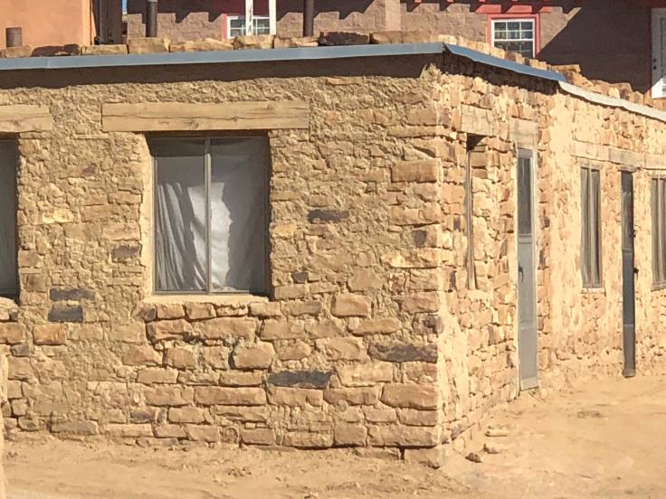
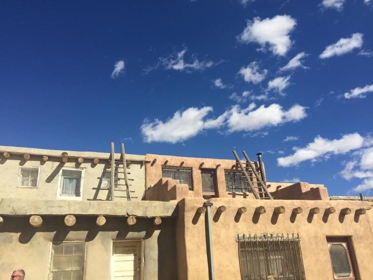
Today, about 300 two- and three-story houses stand on the mesa, with exterior ladders used to access the upper levels where residents live. Access to the mesa is by a road blasted into the rock face during the 1950s. Approximately 75 or so families live permanently on the mesa, with the population increasing on the weekends as family members come to visit and tourists, some 55,000 annually, visit for the day.
Acoma Sky City Pueblo has no electricity, running water, or sewage disposal. A reservation surrounds the mesa, totaling 600 square miles. Tribal members live both on the reservation and outside it. Contemporary Acoma culture remains relatively closed, however. According to the 2000 United States census, about 5,000 people identify themselves as Acoma.
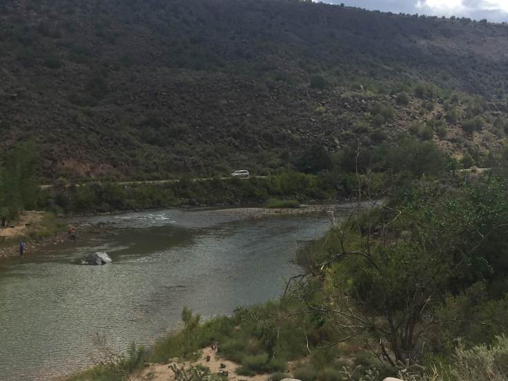
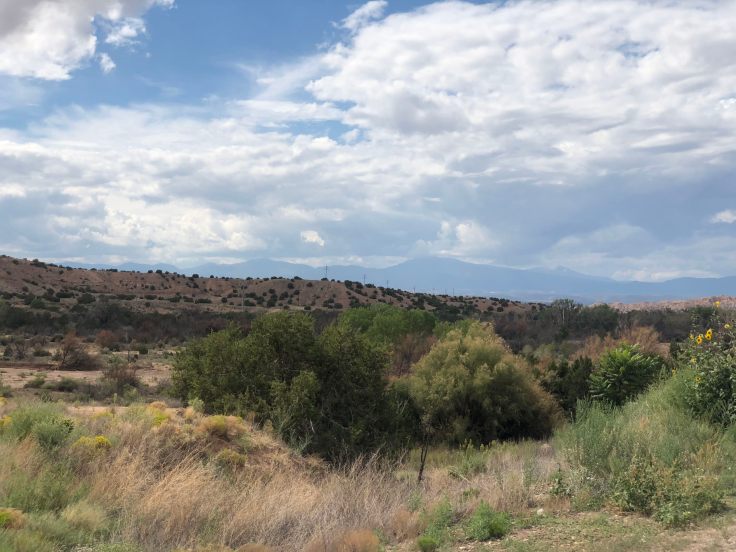
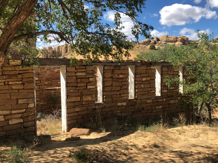
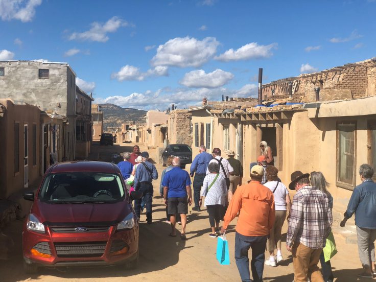
We drove about 20 miles across back country roads to get to Sky City. All along the route we saw ruins of ancient buildings, all built of native stone and all in various stages of disrepair. Some were next to brand new houses, and some were over run with weeds… We have not seen this landscape before…


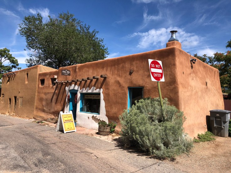
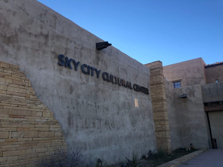
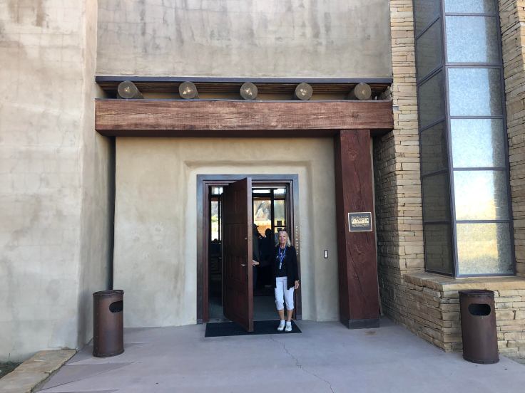
We met in the Acoma Visitors Center. It is the best piece of architecture we have seen on this trip. The front of the building, and the interiors, are very contemporary, although traditional forms are used in modern ways. Around the back is a ceremonial plaza, where the design is much more traditional. It was a treat to see a building this nice here…


OK, so it wasn’t perfect…
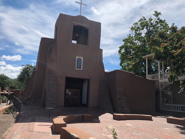
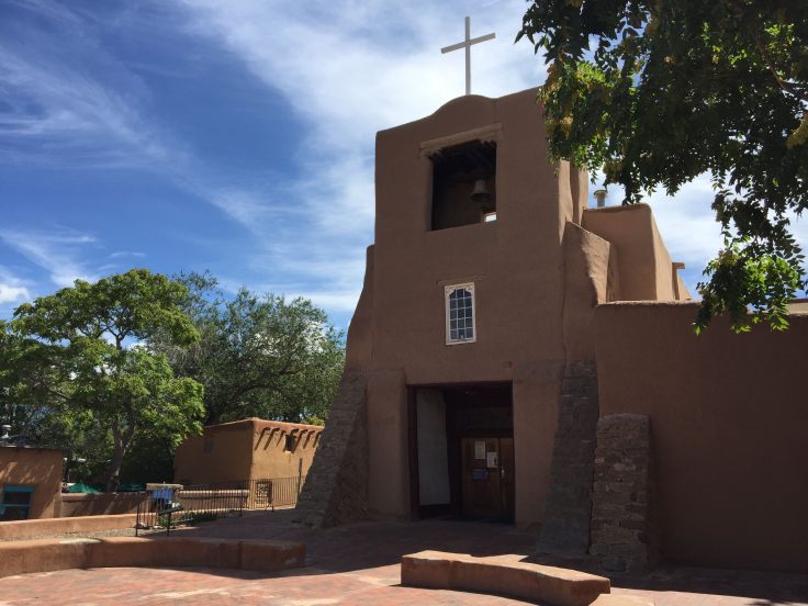
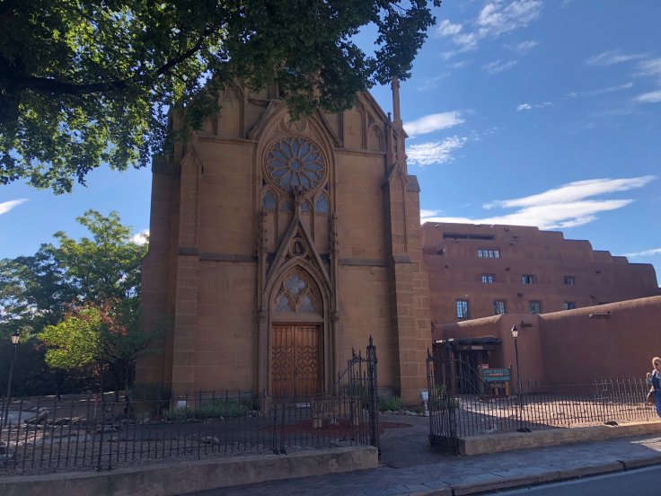
We boarded a bus and were driven to the top of the mesa, where our tour began. We saw St. Stephen’s Church, and the adjoining cemetery. No pictures are allowed inside the church or in the cemetery.

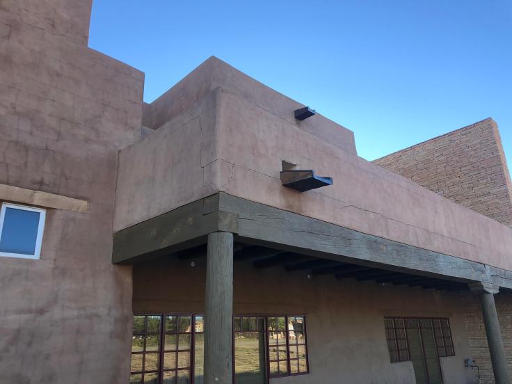
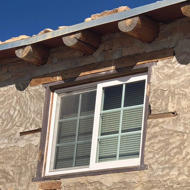
Note that the vigas are not only authentic and functional, but the ends are carved, and the beams are hand-hewn to be rectangular, not round…

Scuppers, hand-carved from one piece of wood…
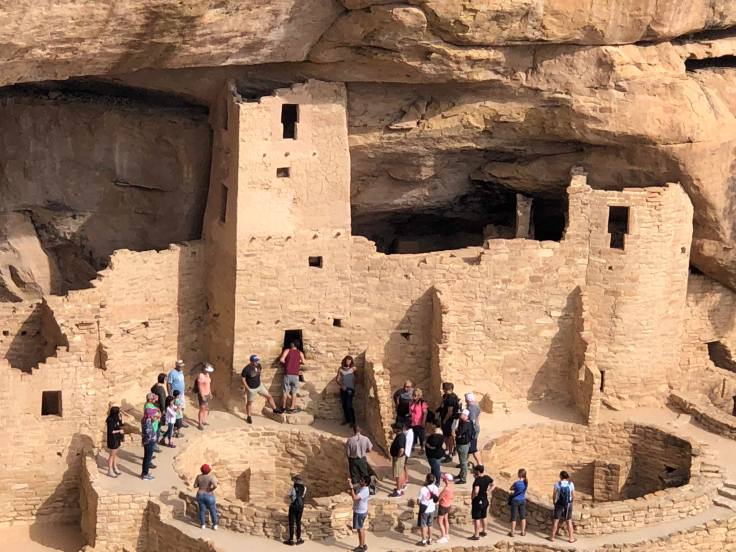
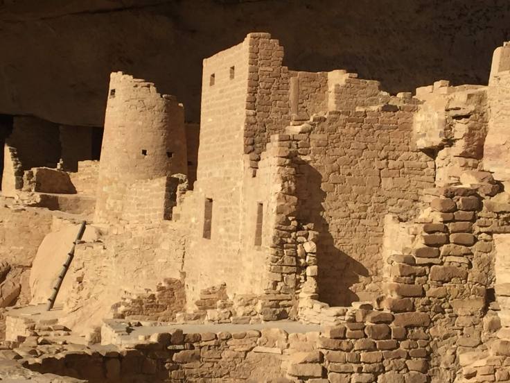
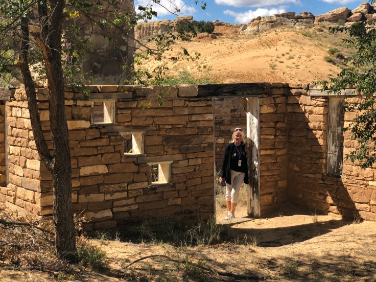
 The buildings atop the mesa range from some original 12th century buildings, plus buildings from the 1500s and 1600s. They have been added onto over the years, so we can see buildings with parts built from the 1940s, 1960s, and 1980s also… It was VERY interesting.
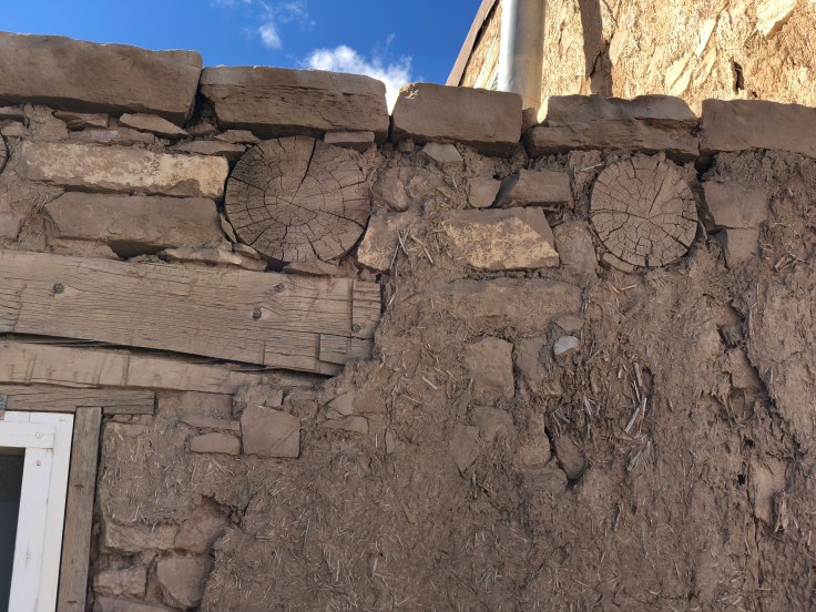
Mud and straw “plaster” covers the ancient stone… It needs to be re-done about every 5-7 years…


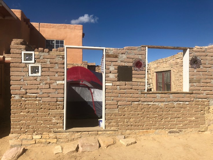
Some structures are in the process of restoration and/or reconstruction. According to one of our caravaners who has been here several time in the past 10 years, the Pueblo is looking better and better every year. The money from the casino is being spent to improve the Pueblo…
They do cover the vigas now with sheet metal…
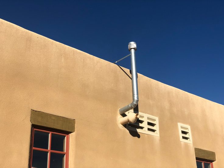
You read above how there is no running water or sewer. Water is brought up to the mesa in tank trucks. Most houses have propane for heat, cooking, and/or lights. Wood is also used for cooking and heating. As for sanitary facilities: The mesa is surrounded with two-story, solar powered, waterless and composting outhouses…

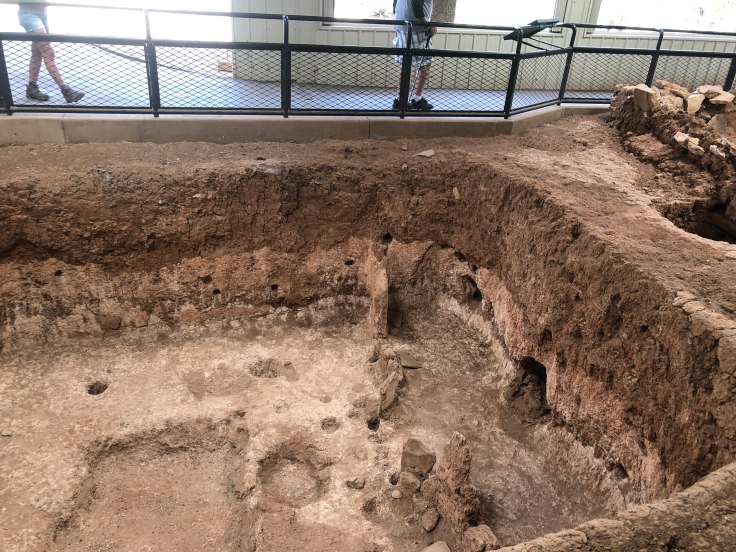
We walked through the oldest part of the Pueblo. These houses were originally built in the 1100s and the 1200s, although they have been remodeled and expanded many times over the years. The original houses were three stories – on the ground floor there were no doors and windows. The ground floor was accessed via internal stairs or ladders, and the area was used for storage. The second level was accessed by a ladder from the ground to the second floor. The living quarters were located on the second floor, with the roof of the ground floor storage areas used as a terrace. The third floor contained the cooking facilities. Since heat is generated here, and hot air rises, having the cooking areas on the top floor kept the other areas of the house cooler. This arrangement allowed security, in that ladders could be drawn up to the “terrace” to prevent intruders from accessing the house…


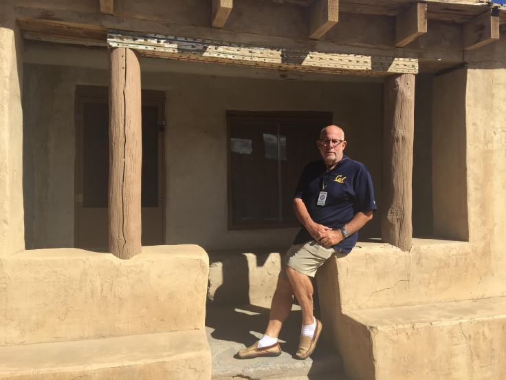
As any good architect knows, in desert climates in the northern hemisphere houses should be oriented to the south for maximum control of, protection from, and use of solar heat gain from the sun. Here we see a world famous architect demonstrate a south-facing front porch…
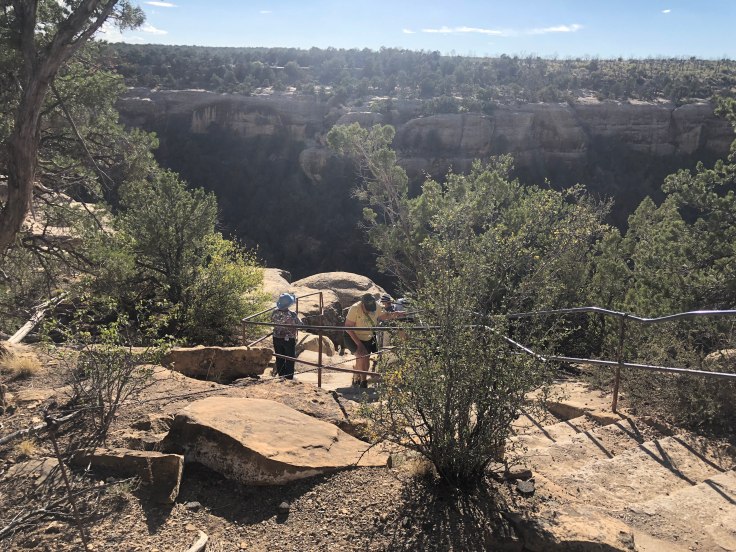
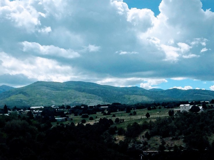
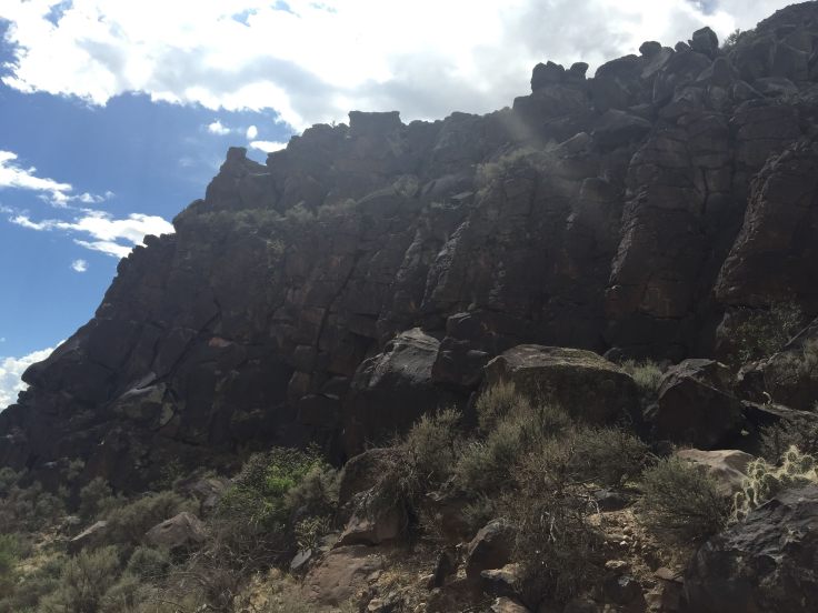
The mesa offers many fine views of the surrounding valleys and other rock formations…


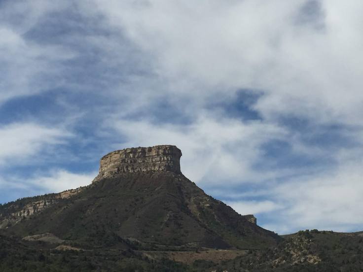
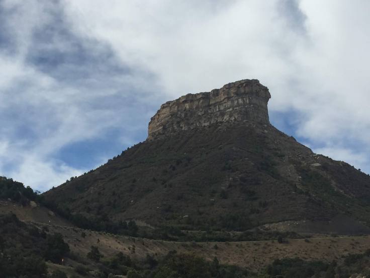
There is a mesa a few miles away from Sky City, which was the original site of the Acoma Pueblo. They had only been living there a few years when a violent lightning storm destroyed the only access to the mesa. Fortunately for most of the Acoma, they were away tending their fields and hunting game. Unfortunately for the two women atop the mesa, they were trapped. Rather than starve to death, they jumped to their deaths… The Acoma have never been back to the mesa since, and they rebuilt their Pueblo at the location where we now stand…
One of the traditional ovens being fire-up…

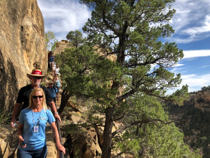
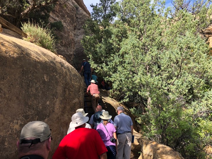
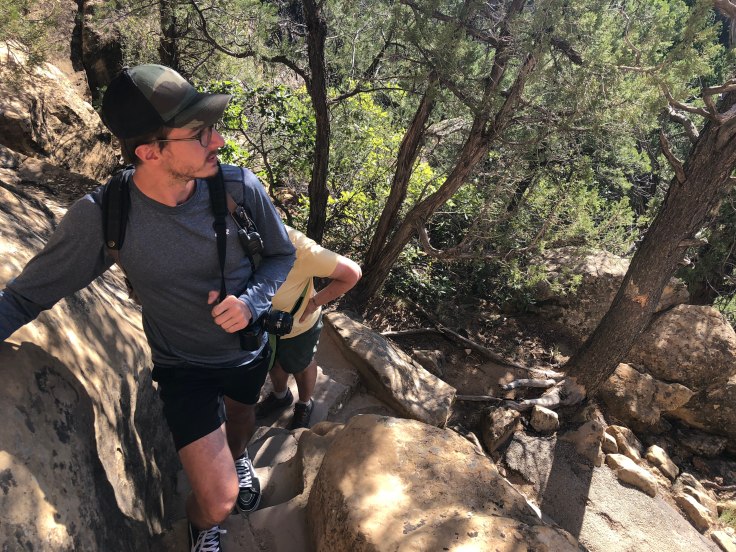
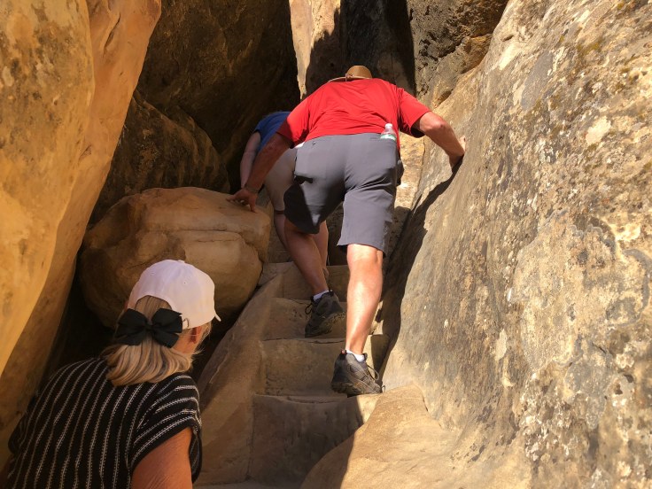
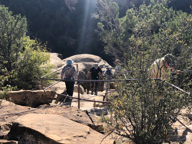
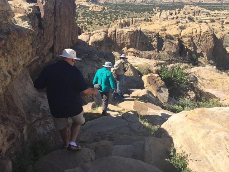
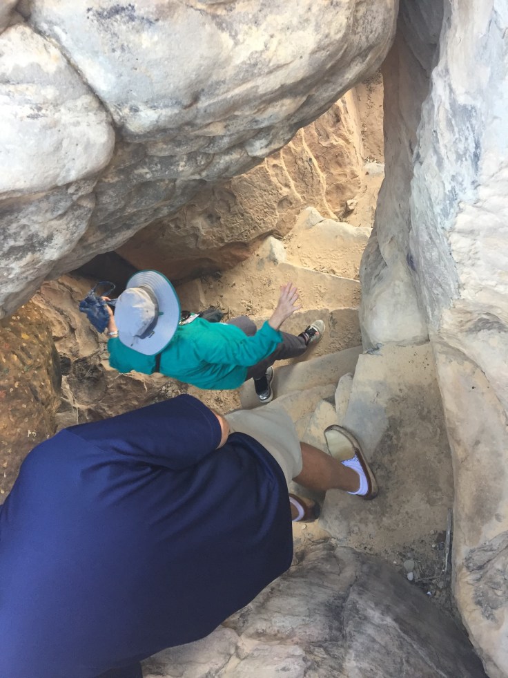
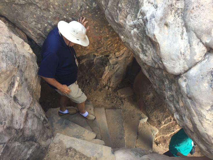
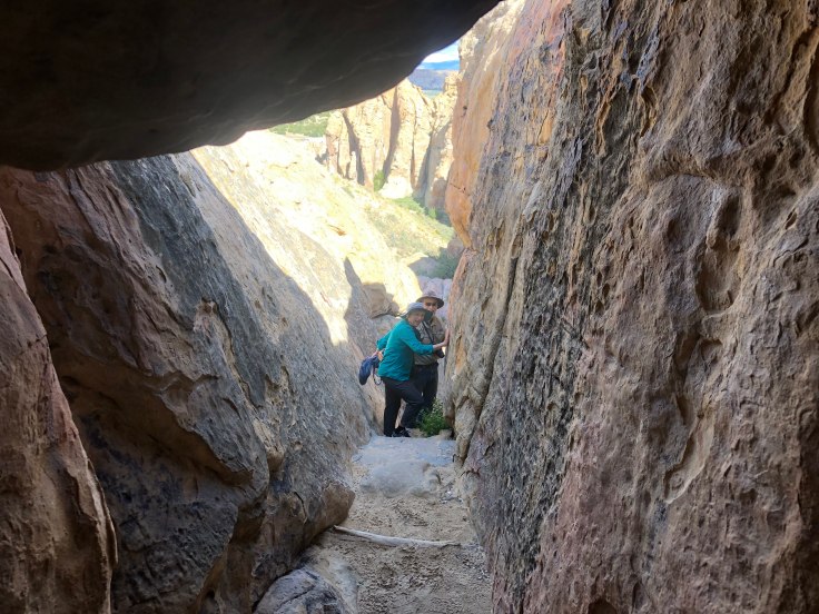
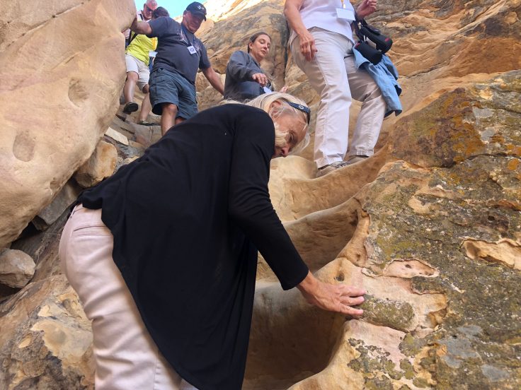
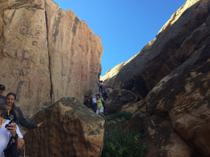
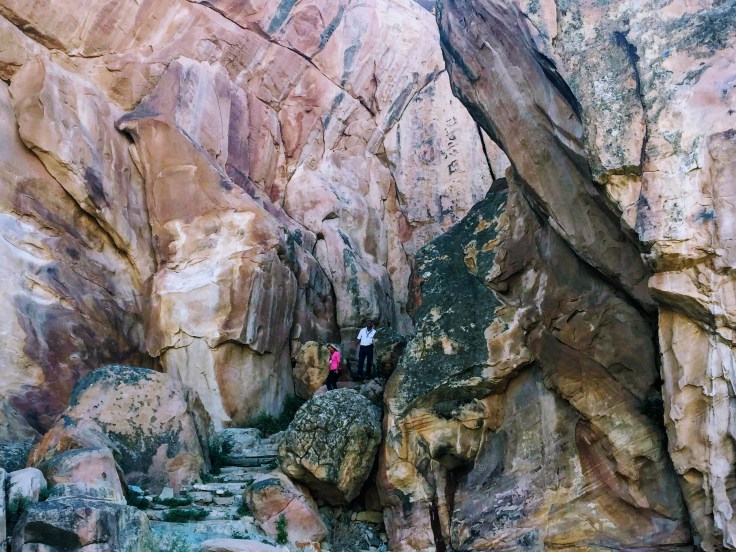
At the end of the tour, the lazy people headed for the bus. We hearty types walked down steps carved into the rock in the 12th century, sometimes needing to use the hand-holds cut into the walls of stone. It was a great trek! Until the 1950s this was the only way to get to and from the Pueblo…


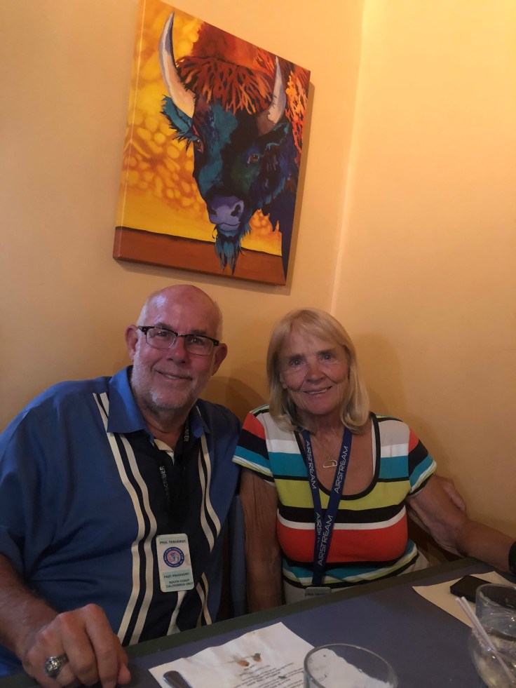
We returned to the visitors center, had a New Mexican lunch of tacos and enchiladas, Christmas style… We drove back to The Villa…
In the evening we held our LAST drivers meeting. Tomorrow we convoy the 60 miles or so to Albuquerque to park at the Balloon Fiesta… The fiesta starts Friday and runs for nine days. We will be staying four nights, leaving Tuesday.
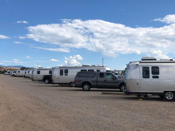
Since we must be ready to go tomorrow at 8:00 am, we did much of our hitching up after the drivers meeting. Lynda cooked a pizza for dinner…
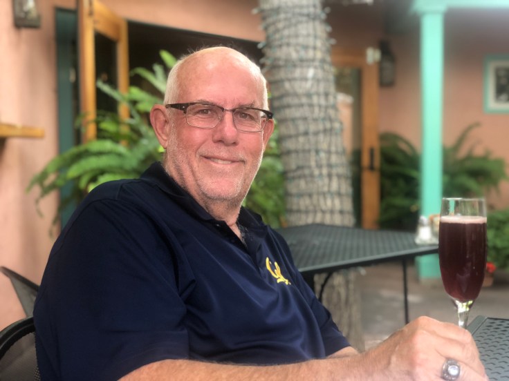
And an enjoyable time was had by all…