We awoke to a cool morning for the first time on this trip. Hot days can be handled better when it cools off at night…
Today we have an excursion to Ash Hollow State Historic Park, with a side trip along the way to “Windlass Hill”. As usual, we formed a pickup truck caravan and drove the 30 miles to Windlass Hill.

Windlass Hill was the location where the pioneers left the flat plains and traveled down to Ash Hollow, adjacent to the North Platte River. This route cut off about two weeks off the trip to Oregon. From 1835 to 1960 about 350,000 covered wagons passed through here, mostly in the months of May and June. If they were any later than very early July it would be unlikely they could make it through the Rocky Mountains before winter closed all the passes…
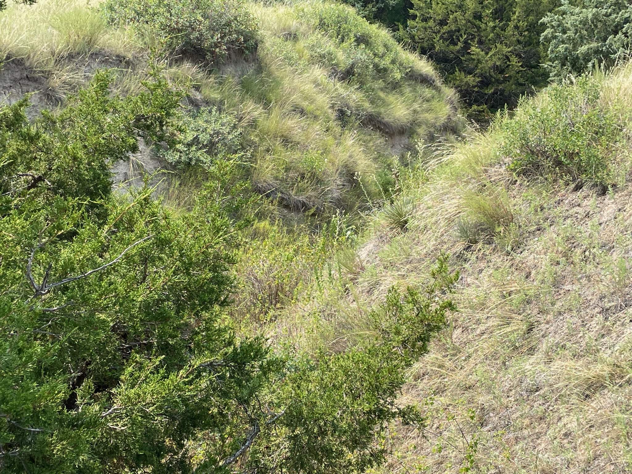
The name, Windlass Hill, is mostly apocryphal. There was no windlass here. (Maybe there should have been…) Due to the steepness of the grade, the wagons could easily travel at speeds that were not good for them or the livestock pulling the wagons. They were slowed by locking the wheels, which prevented the wheels from turning and increased friction. However, the “trail” down the hill was a 25 degree slope and the height was over 300′. Since the ground here is Nebraska Sandhill, today we don’t see “ruts”, but “swales”. As the wagon wheels tore into the grass and sand ruts were made; however, over time, with rain and erosion, today these areas have become “swales”. These swales are visible today.
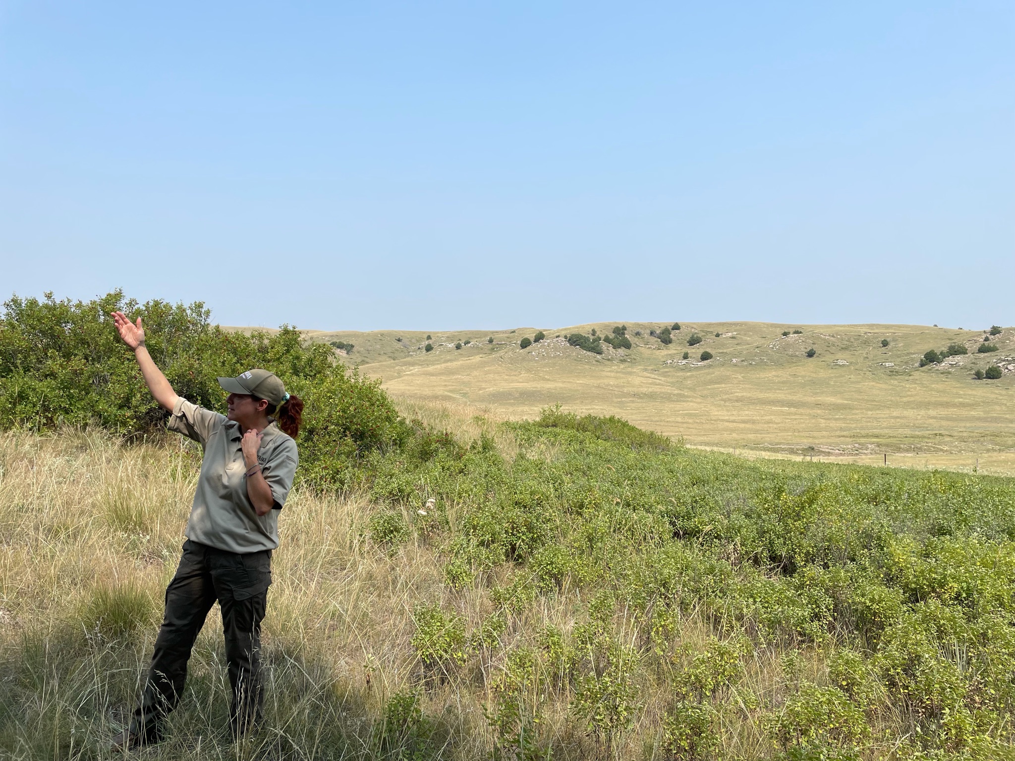
We parked our trucks and walked over to listen to the Ranger tell us what we were seeing…
Here is what some of the smaller swales look like today…

There was a paved trail that we could walk up the 300′ to the top…

The official marker…

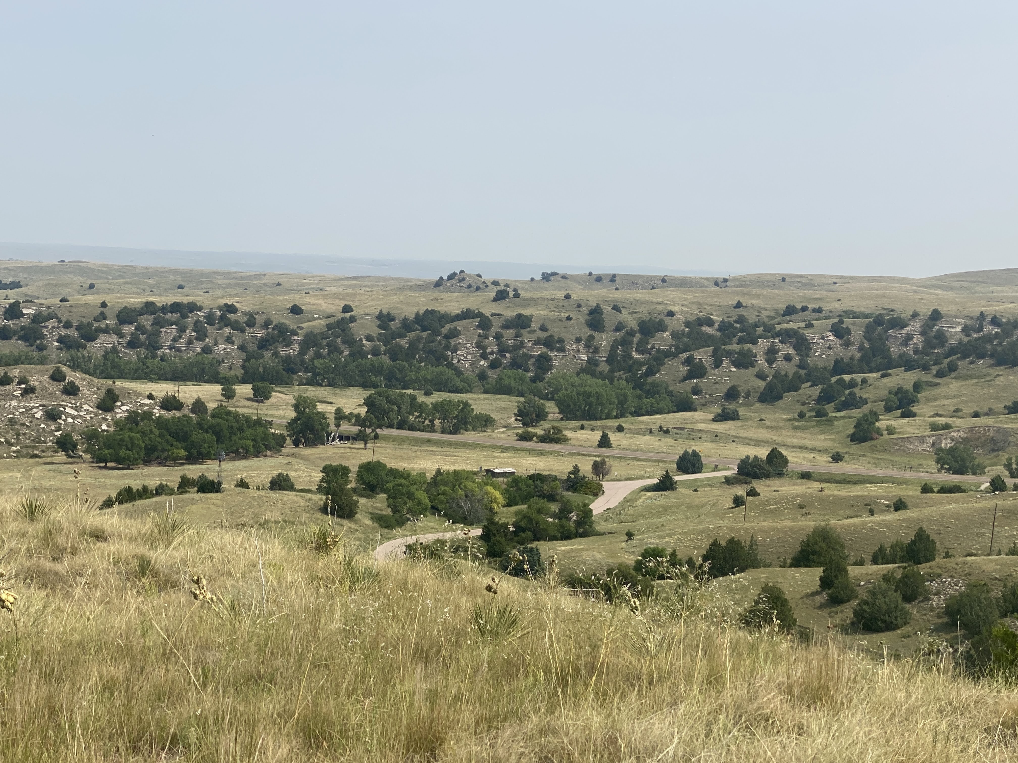
The view down towards Ash Hollow, and our parked trucks…

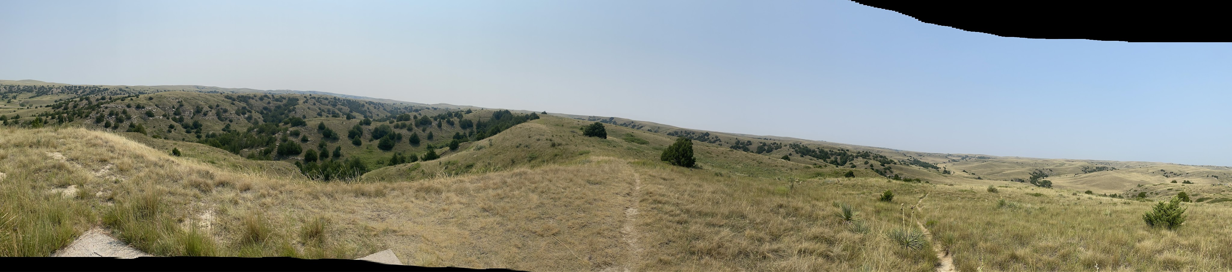
A panoramic photo from the top of Windlass Hill…
This is what the pioneers saw from the top. Remember, though, there were no trees in 1950, and the river was visible. This was the first good camping spot that they had seen for weeks. This entire valley was crowded with covered wagons; they stayed 2-3 days, collecting water, game, maybe some buffalo chips…


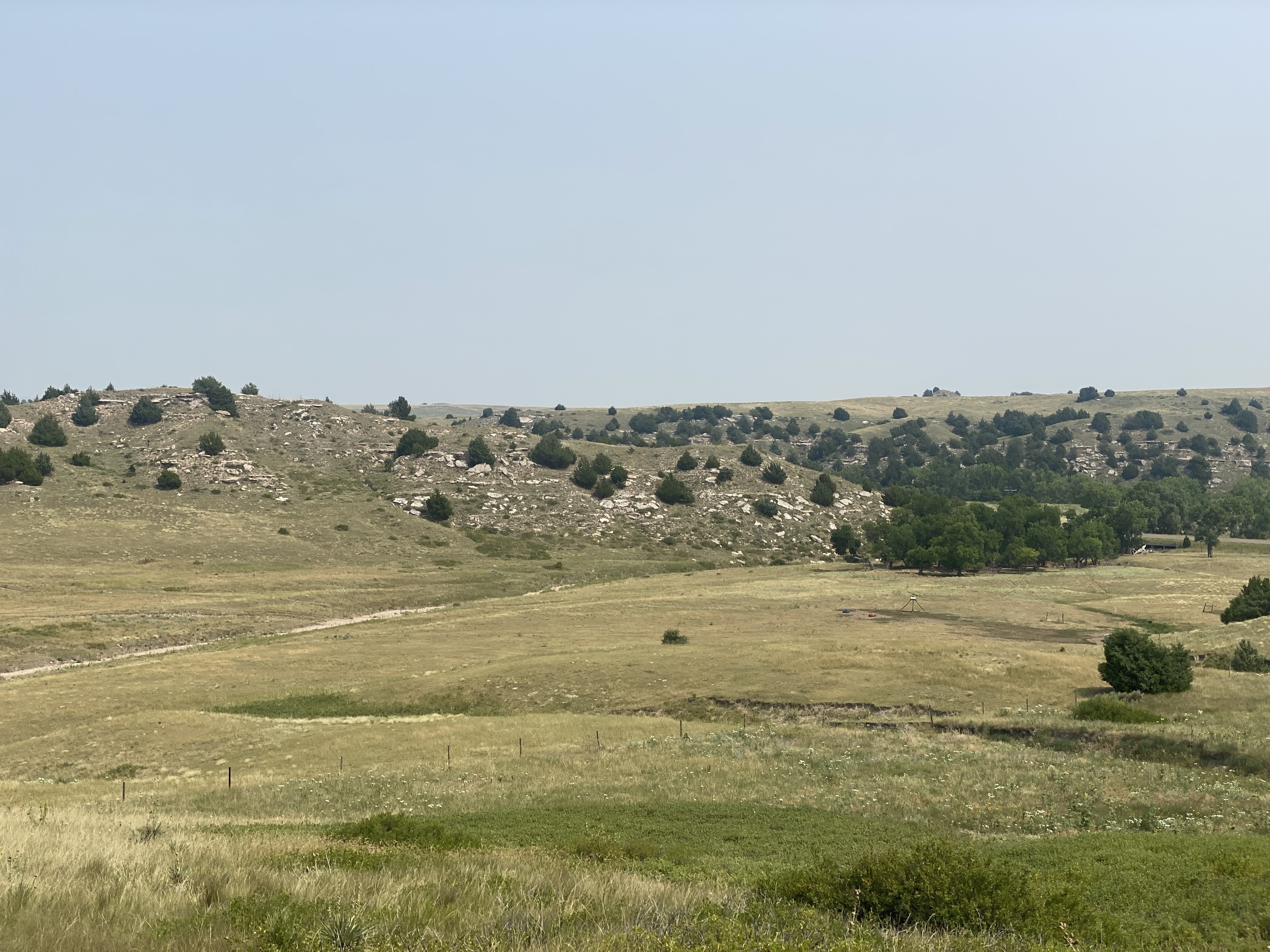
Here you can see more dramatically how the swales have now eroded into full blown ravines…


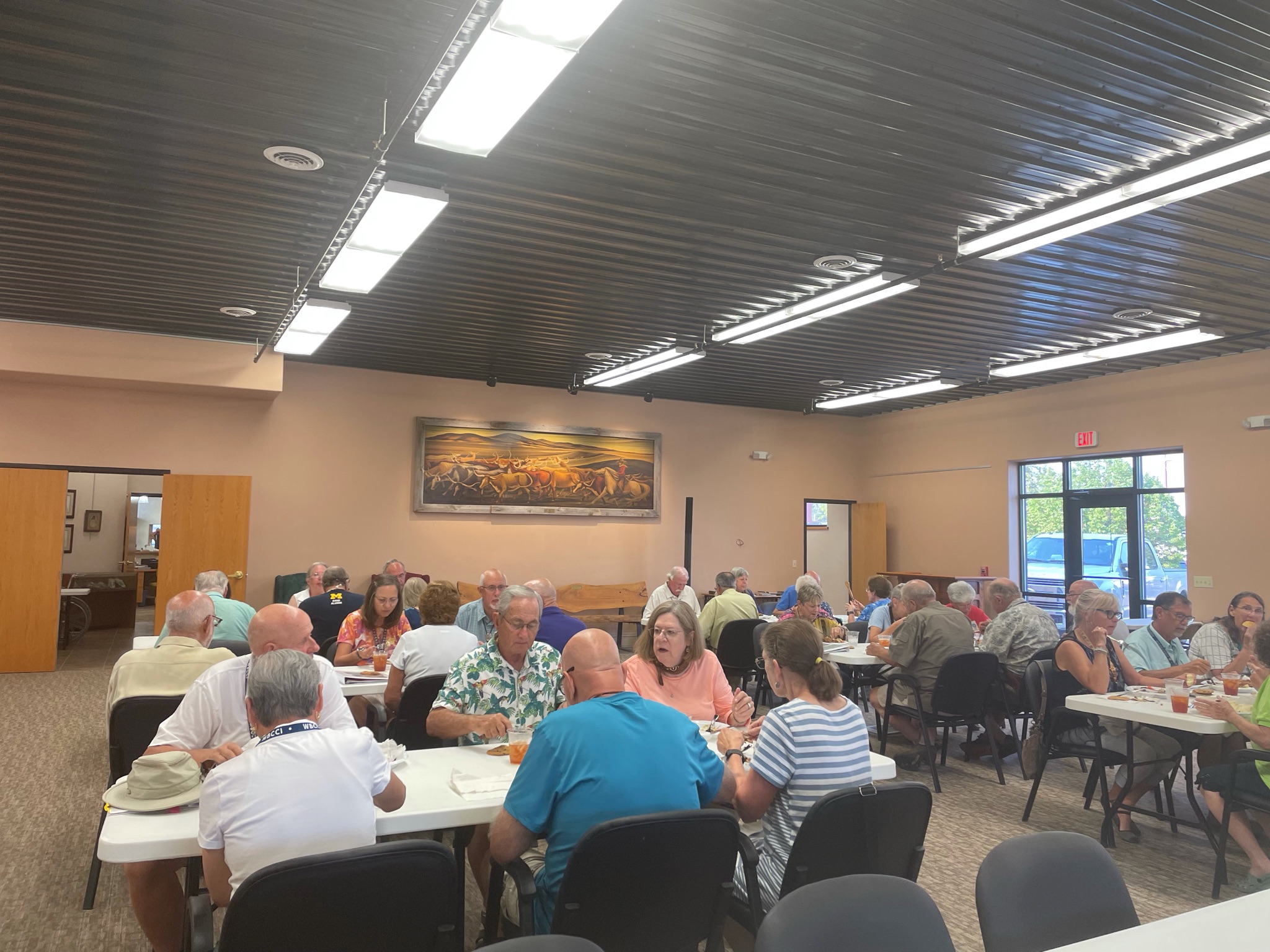
As different paths down the hill became more eroded and unpassable the pioneers found new routes. These exhibits in the Ash Hollow Visitor Center show the several routes…


After our brief time in the Visitors Center we traveled on around the park. This is a stone school house. It was built in the late 1800s to replace a sod schoolhouse. It was in use into the early 1900s…

We drove down to this valley to hear more information from the ranger…

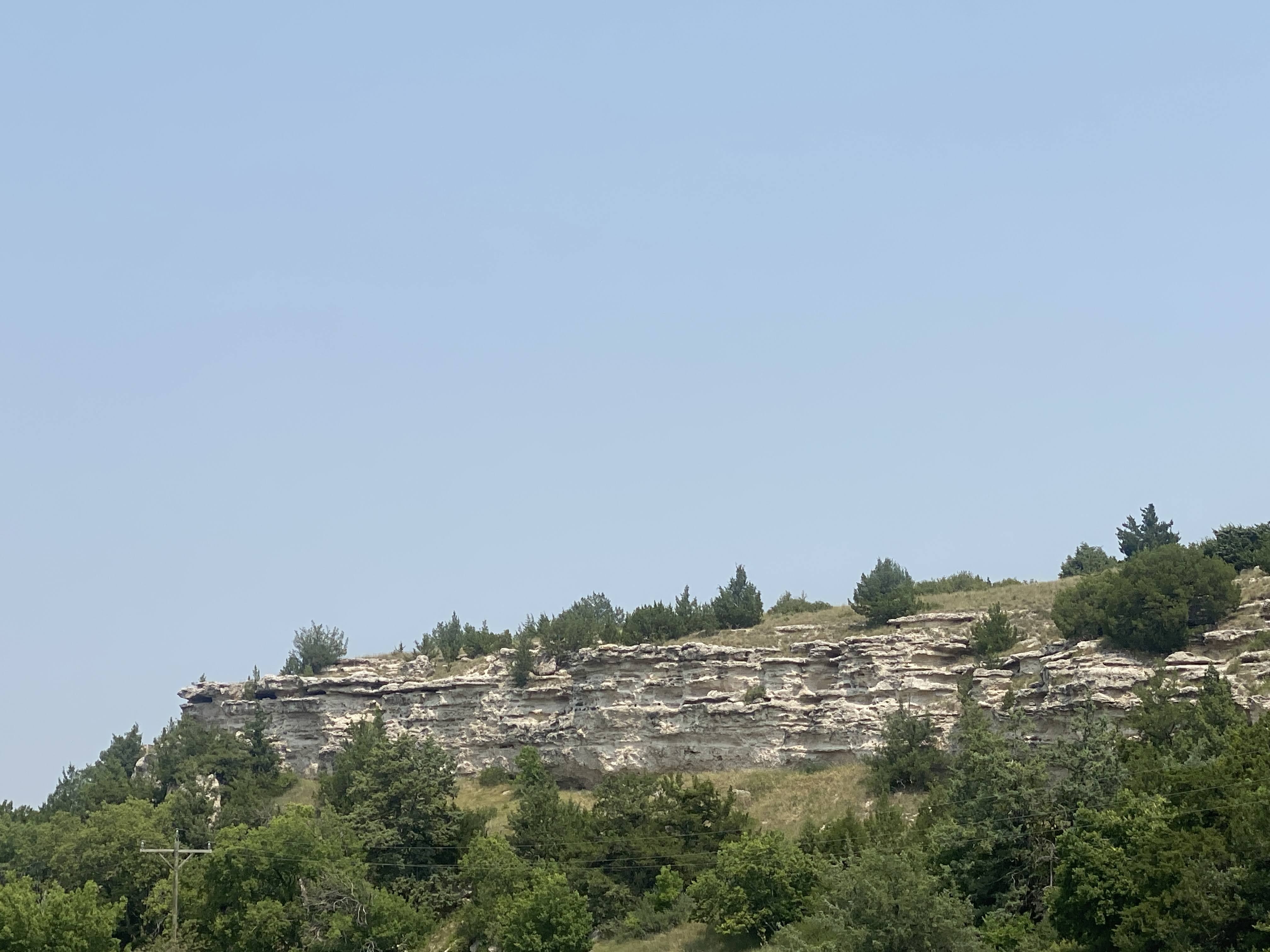
From this valley we can see the sandstone and shale in the hills above.

The pond beyond was part of a series of springs that, in the winter and spring, form a stream that flows down to the North Platte River… This valley would be crowded with covered wagons in the spring…

That was all for the Ash Hollow excursion. We returned to the Villa and had a little lunch. At 5:00 we drove the short distance into Ogallala to visit the Petrified Wood Museum. We saw many interesting specimens of petrified wood and other mineral formations. Dinner was catered by Ole’s Big Game Steakhouse and Lounge in nearby Paxton. I don’t think we ate any big game, but the food was reasonably good…
We had a driver meeting after dinner. Tomorrow we move about 130 miles to Gering, NE, a short distance from Scottsbluff, another landmark on the Oregon Trail. We returned to the Villa. We shared a bottle of wine with caravan friends…
And an enjoyable time was had by all…
