We move on again, just like the wagons on the Oregon Trail…
We traveled across many miles of Wyoming landscape…

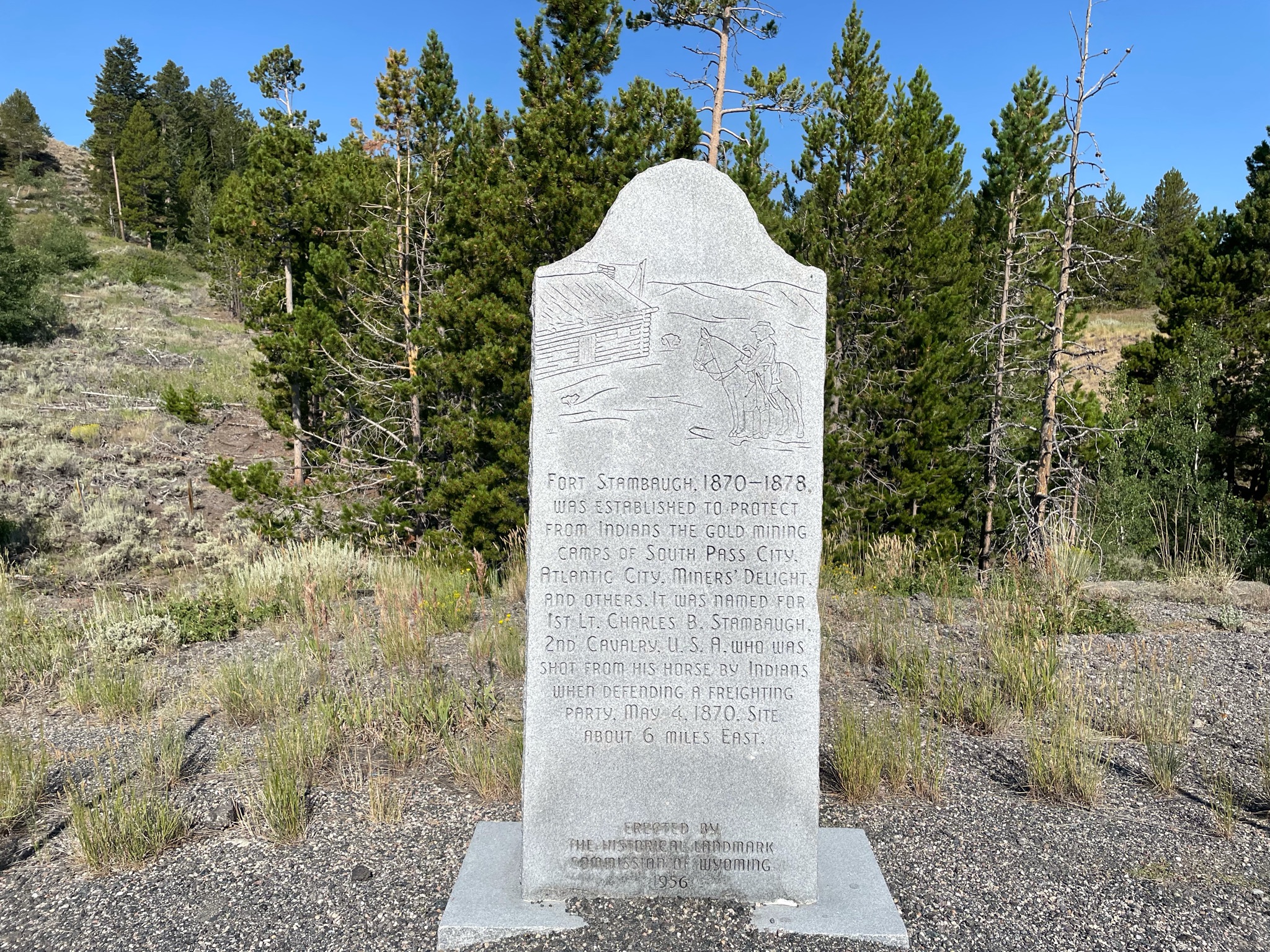


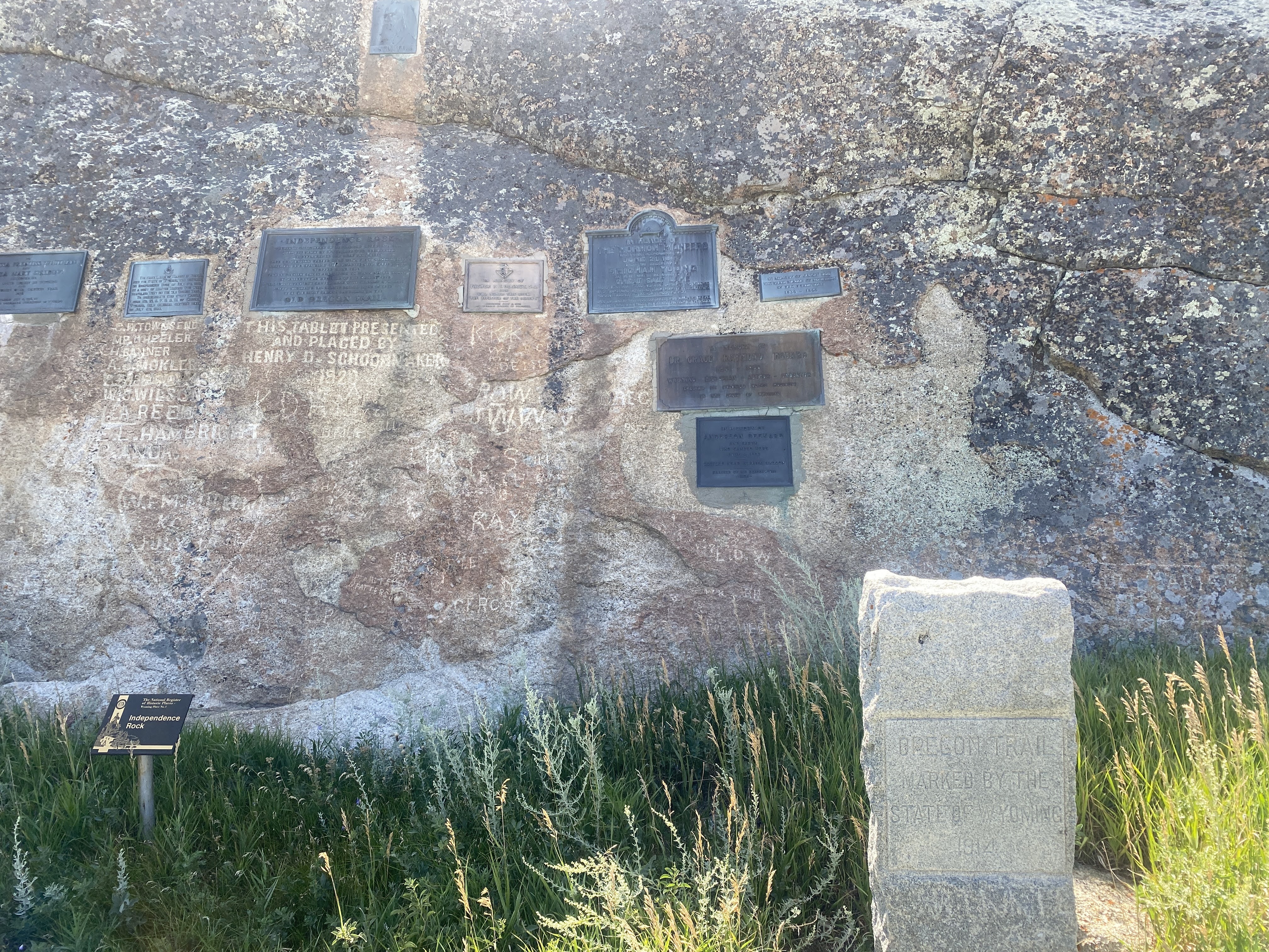
We are driving through “South Pass”. This is where most of the emigrants passed through the Rocky Mountains. The “pass” is about 35miles wide, and it crosses the Continental Divide at about 7,412 feet elevation, the lowest pass in this area of the Rockies…

So it’s all downhill from here…

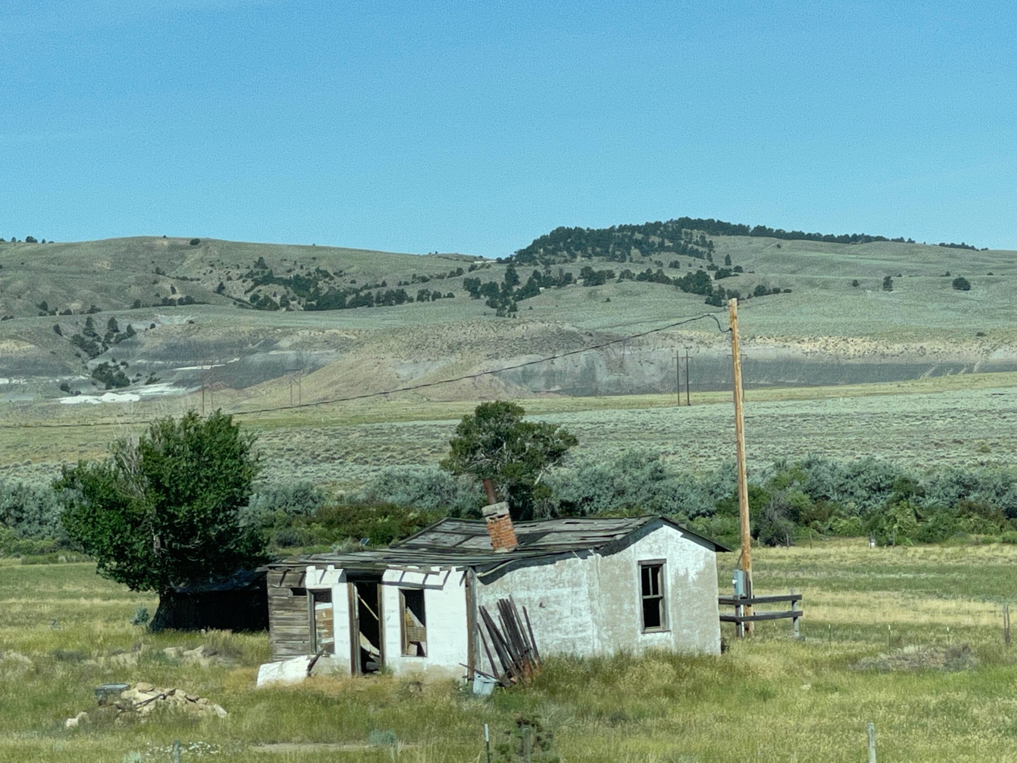
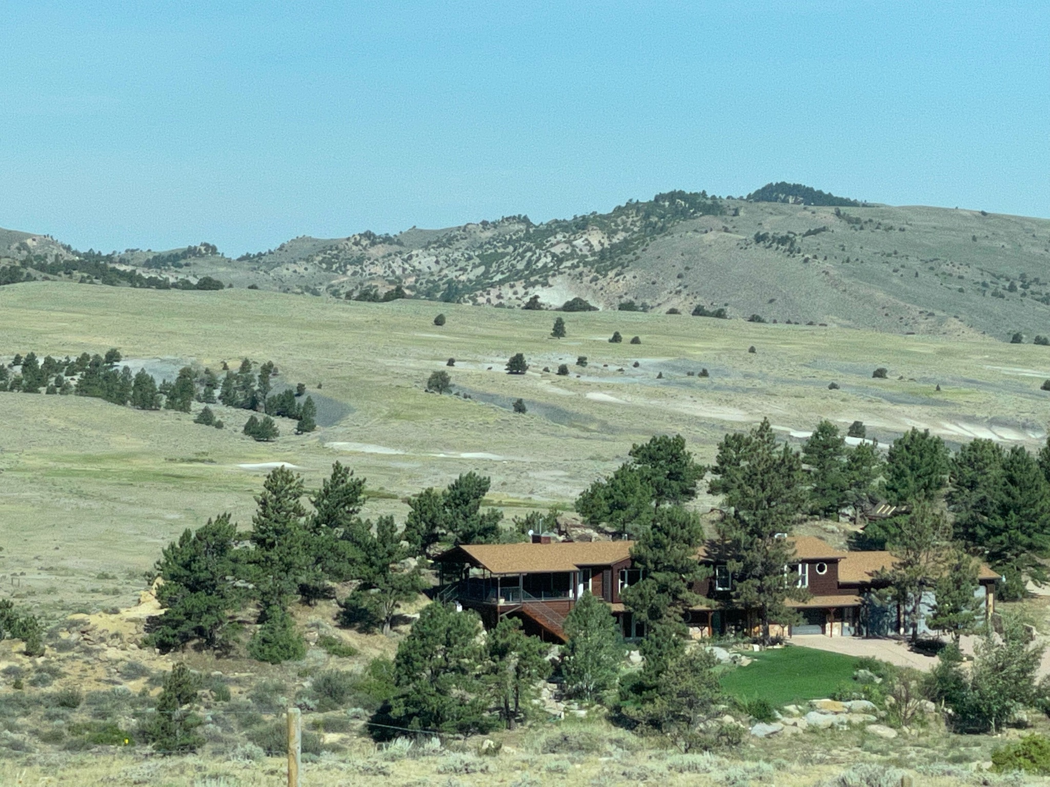
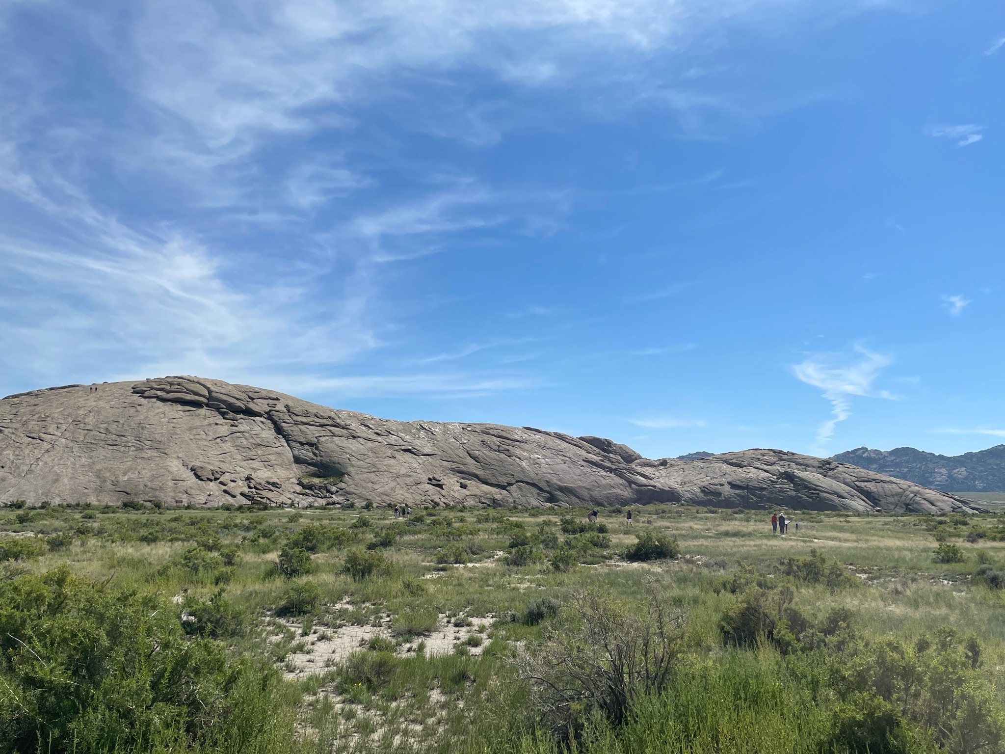
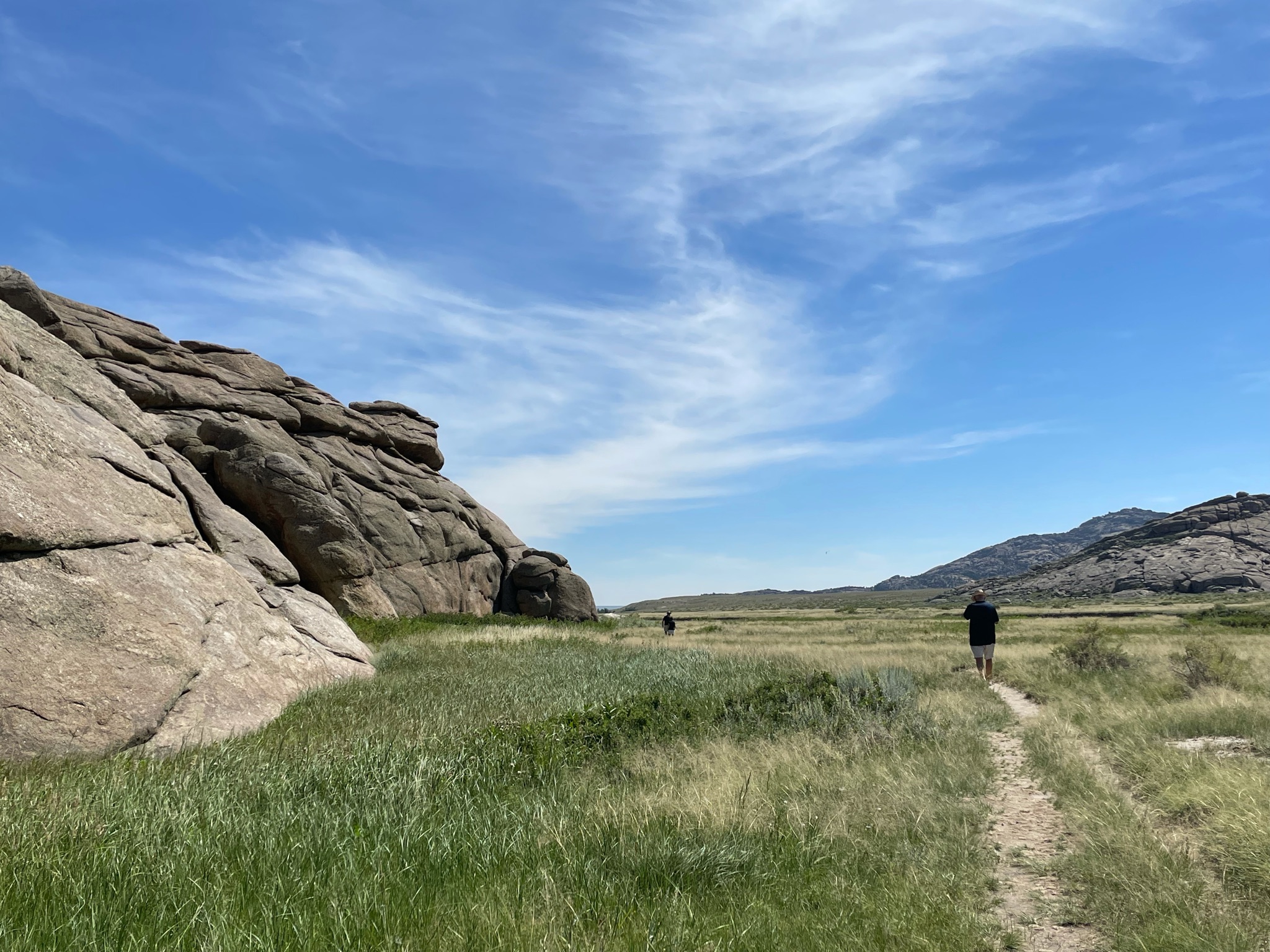
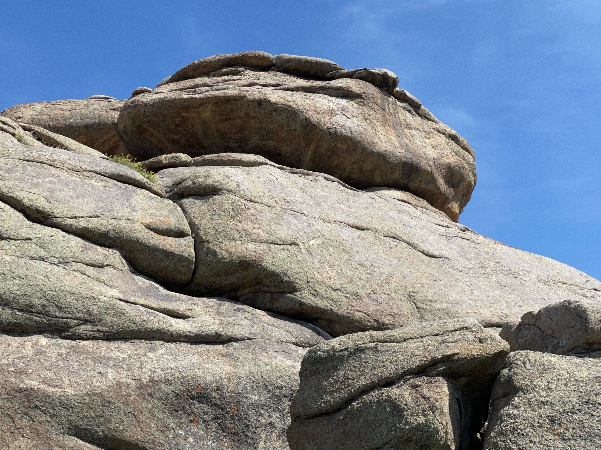
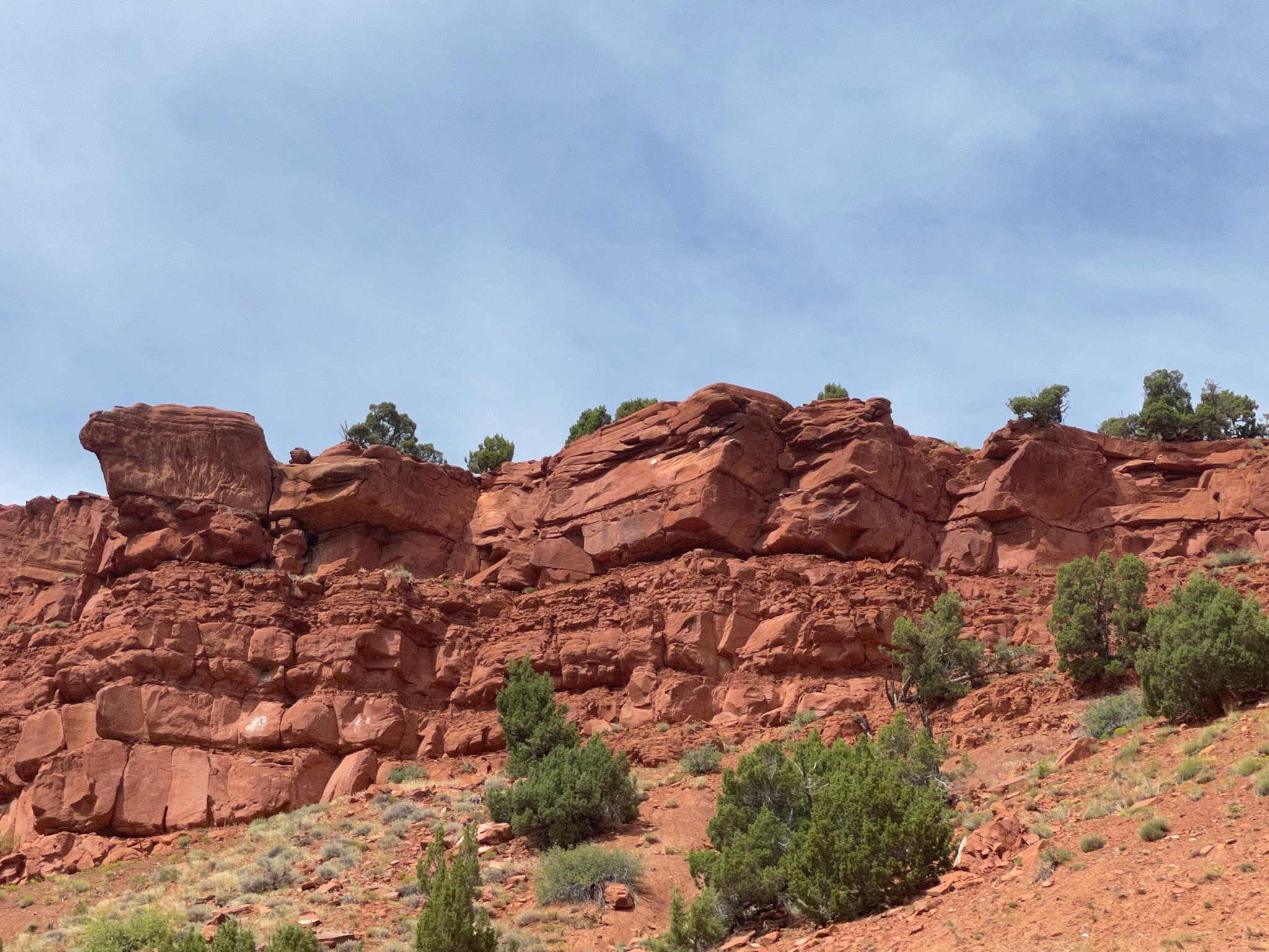
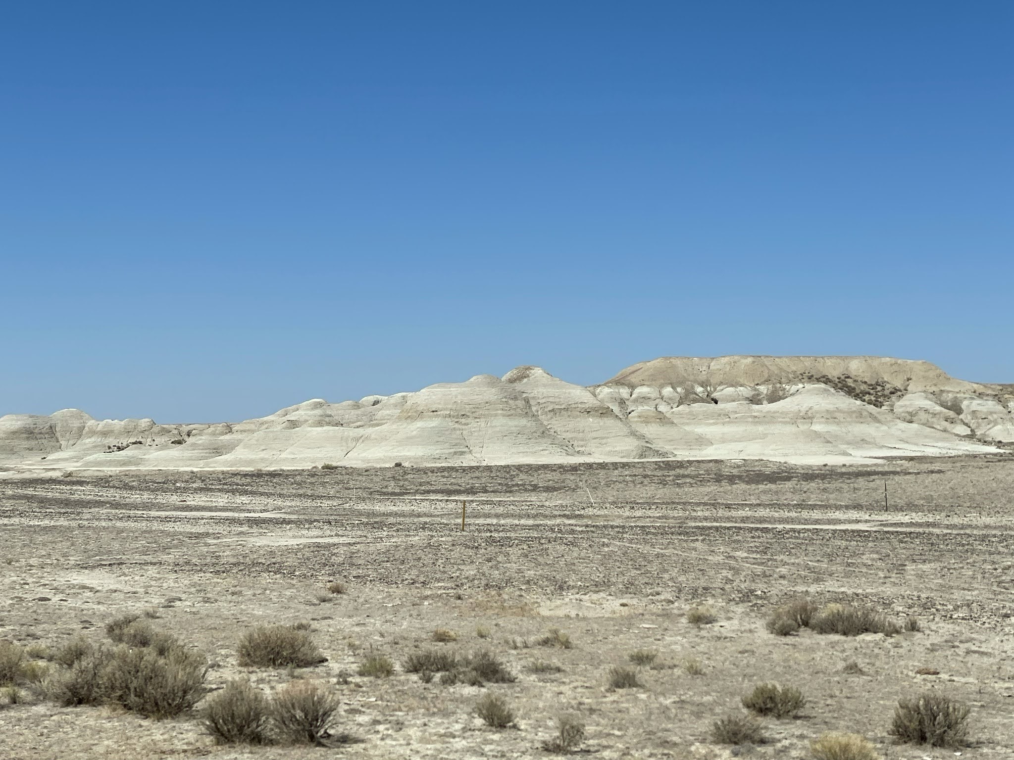
The terrain changes continuously…

The terrain changes continuously…

The terrain changes continuously…

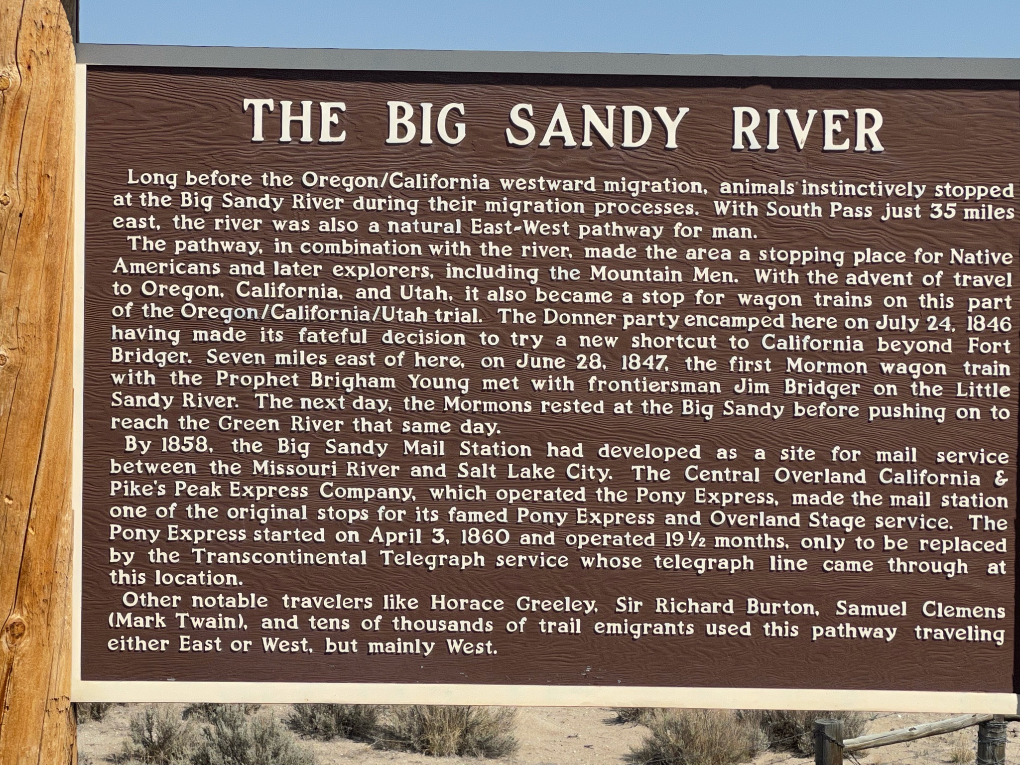
We crossed the Big Sandy River…
And we crossed the Little Sandy River…

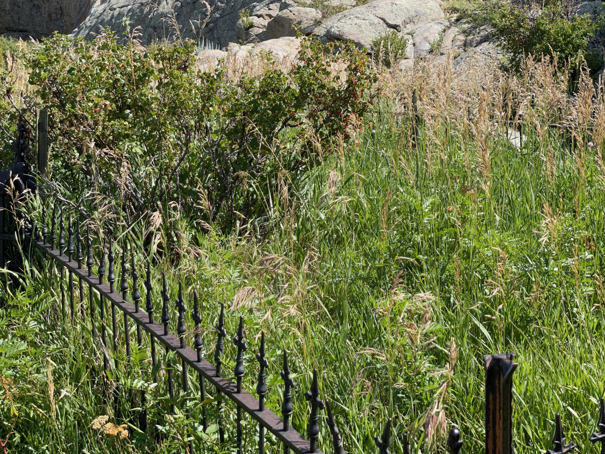
And the terrain continues to change…

We stopped for lunch at Little America. There are hundreds of billboards on each direction of the freeway advertizing this place. Wall Drug, it isn’t. But it is a large gas station, a motel, and a restaurant…

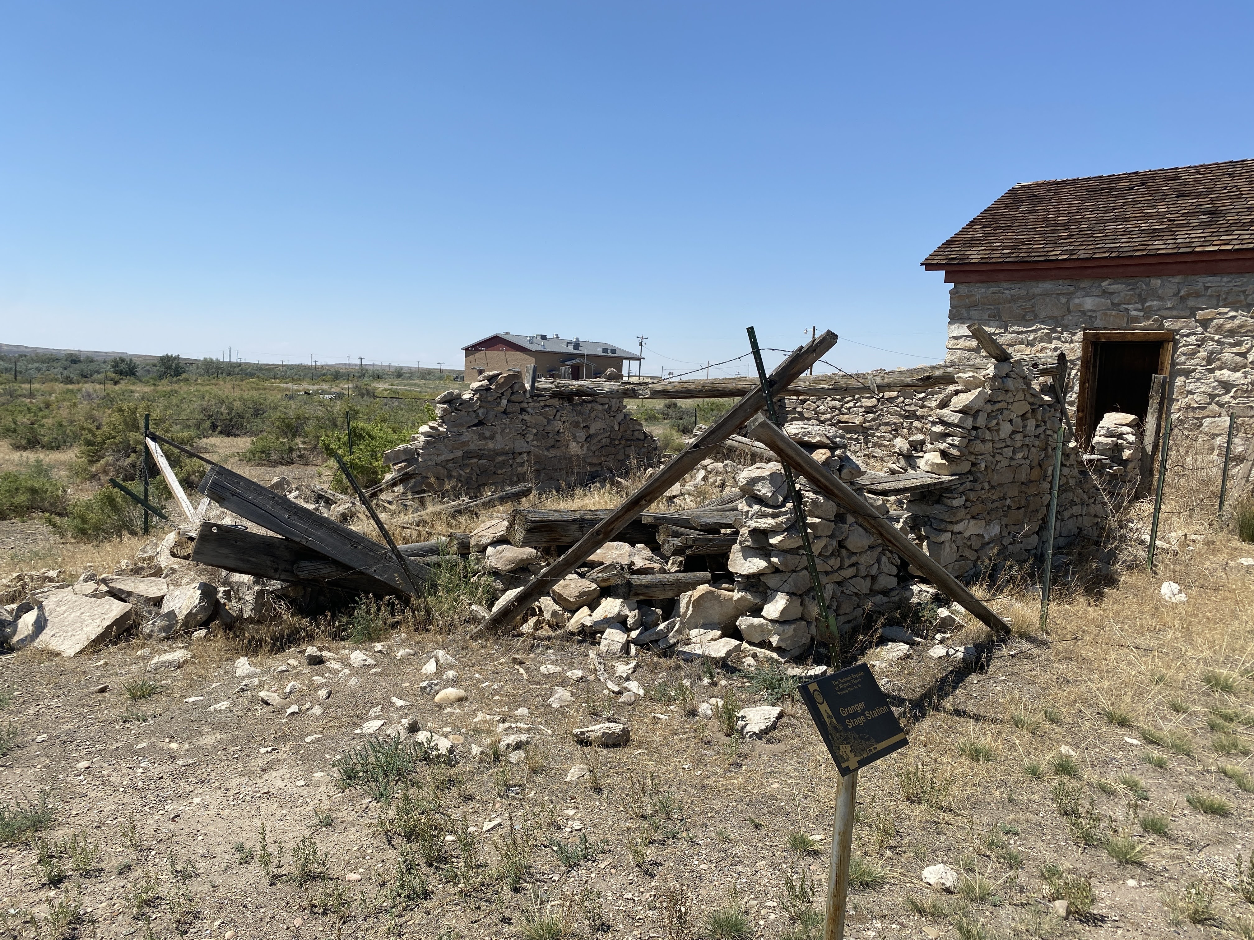
We made a slight detour to the town of Granger to see the old stagecoach station and Pony Express station…

The stage station is in pretty good shape…


The Pony Express station not so much…
We continued on. The terrain is still changing…

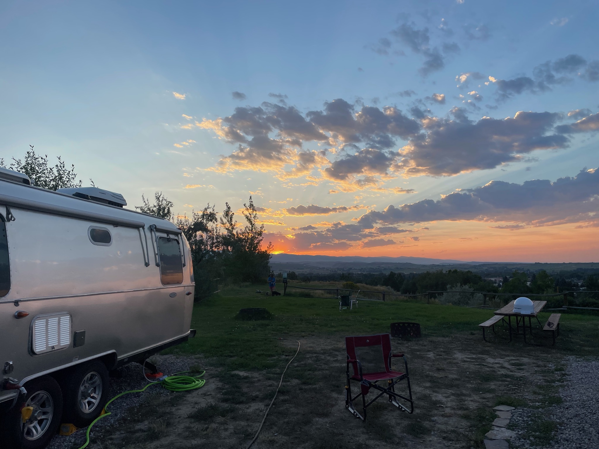
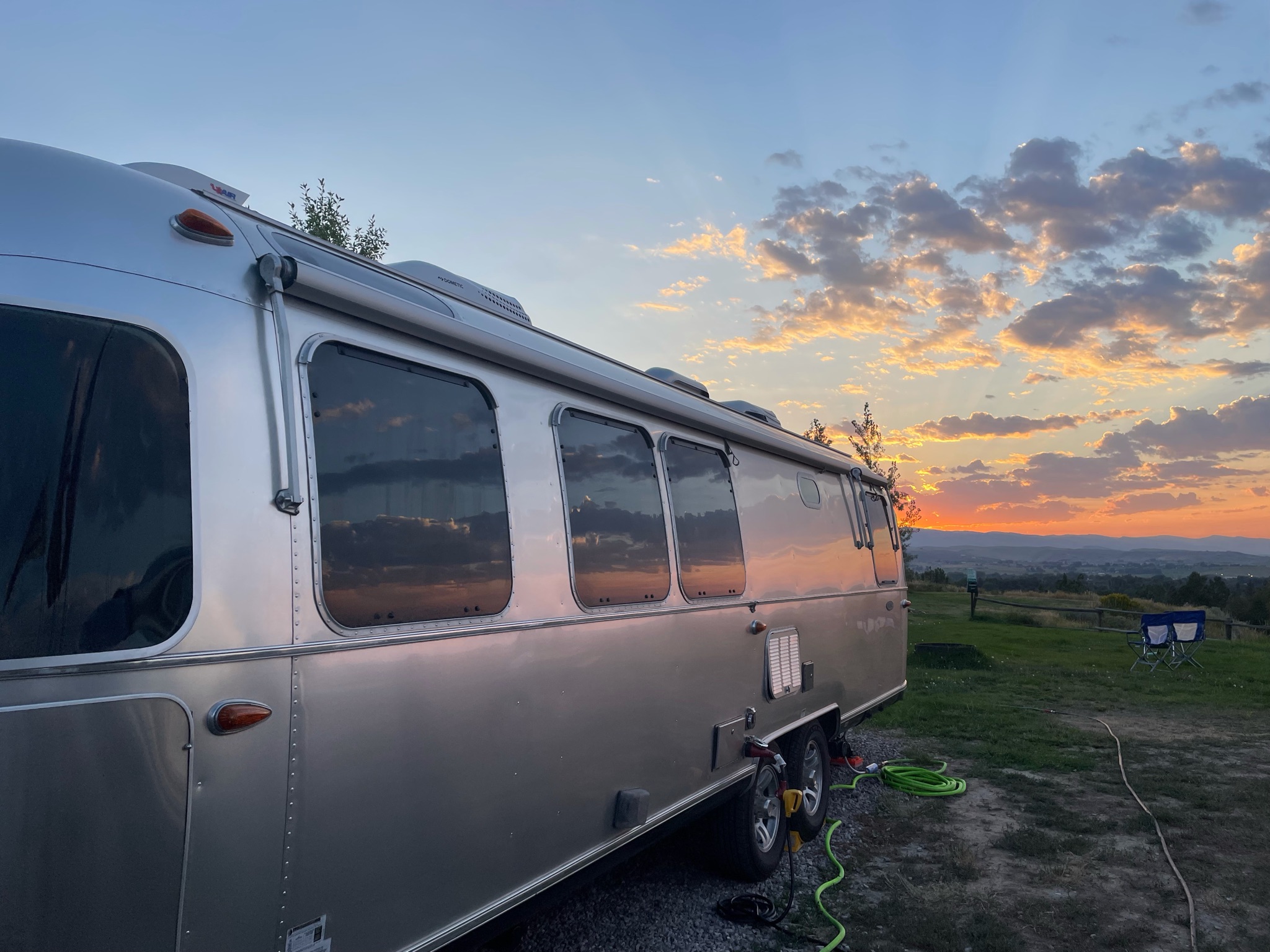
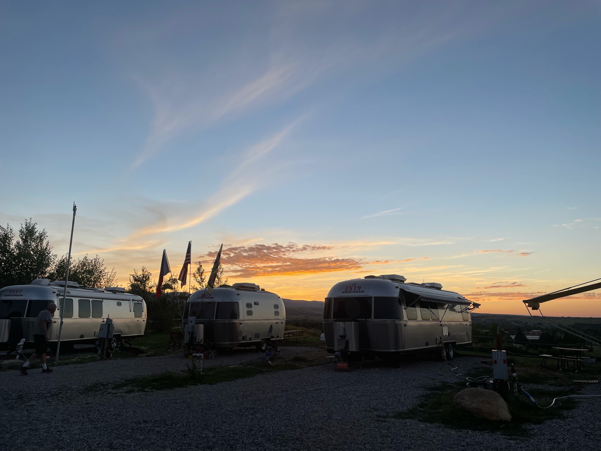
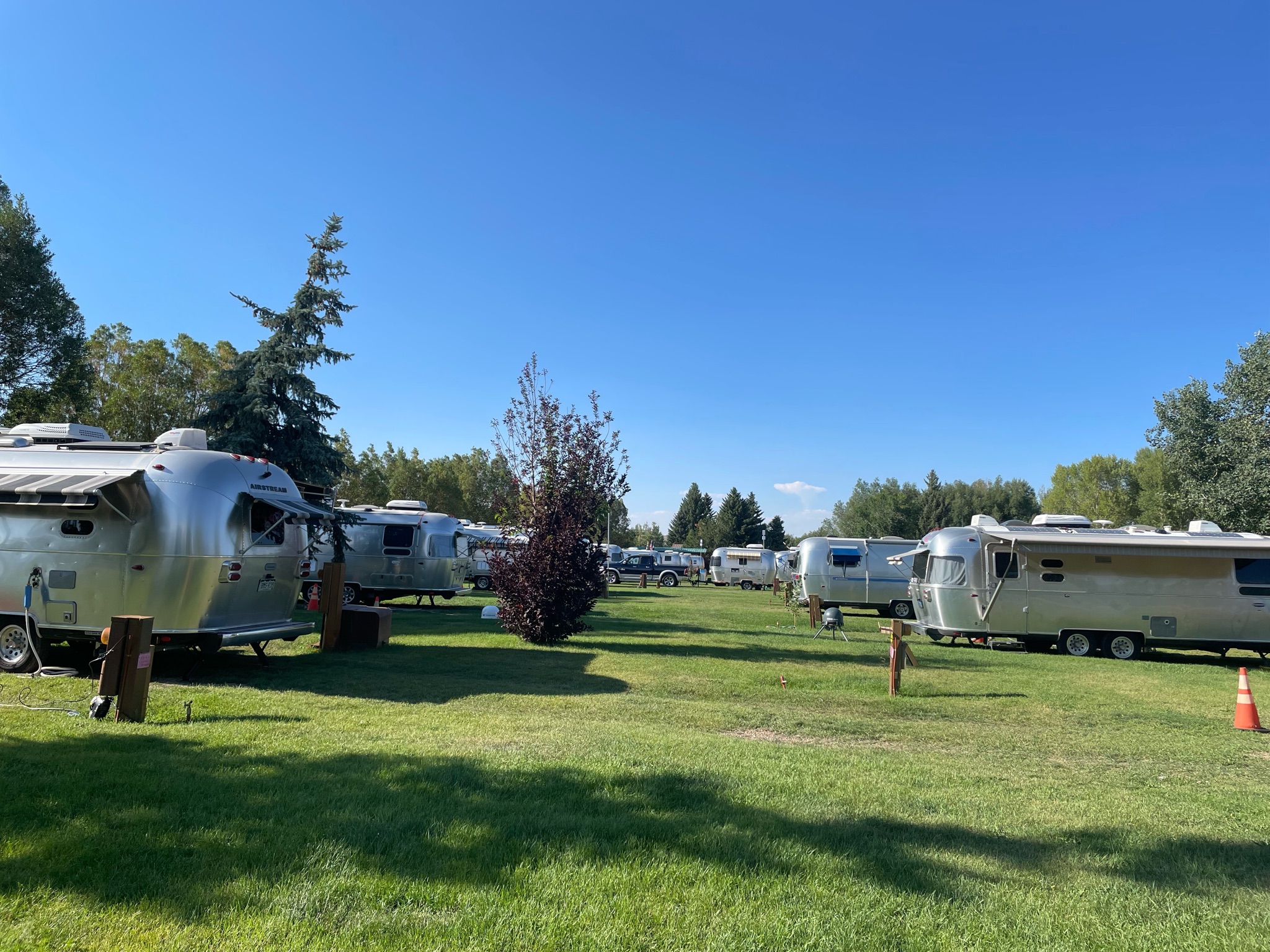
We arrived at the RV Park.

Next to the RV Park is Fort Bridger State Historic Site

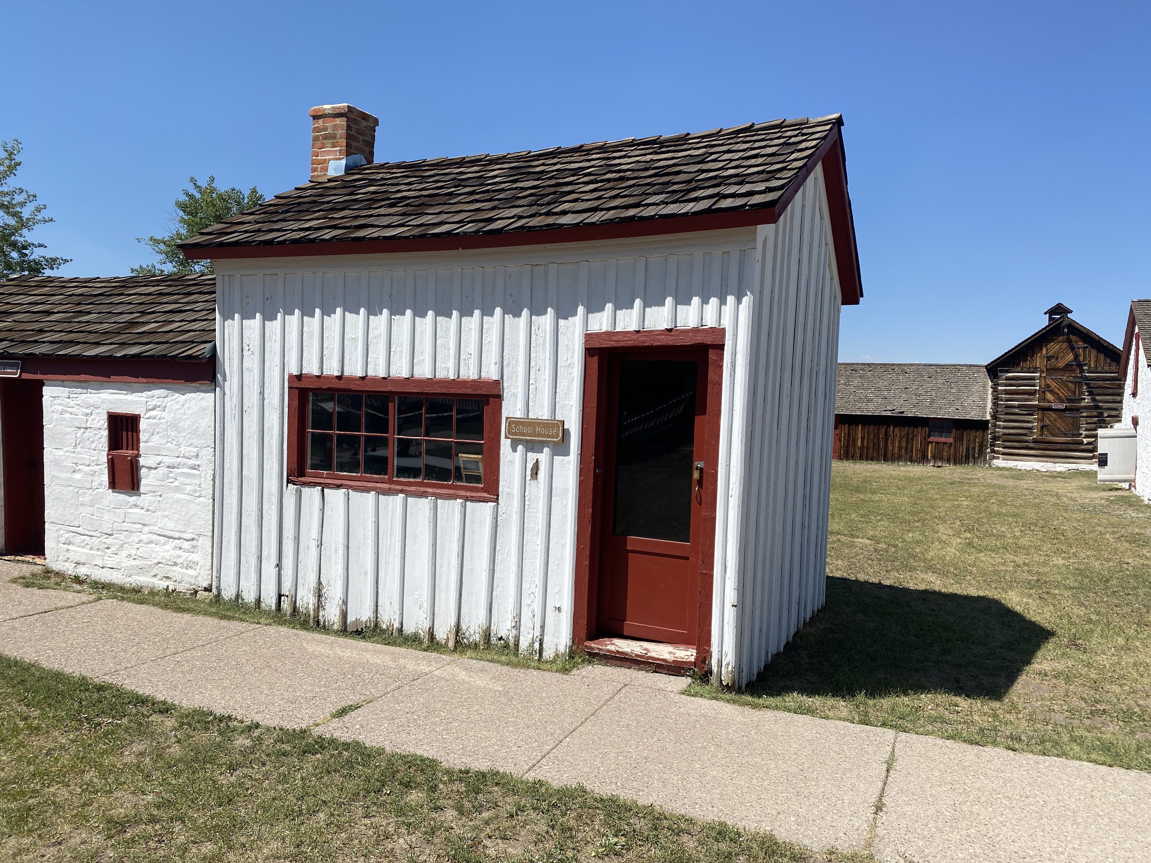
Again, I’m not a big fan of forts, but this did have some interesting things… The first schoolhouse in Wyoming!

The small building on the end is the first schoolhouse…
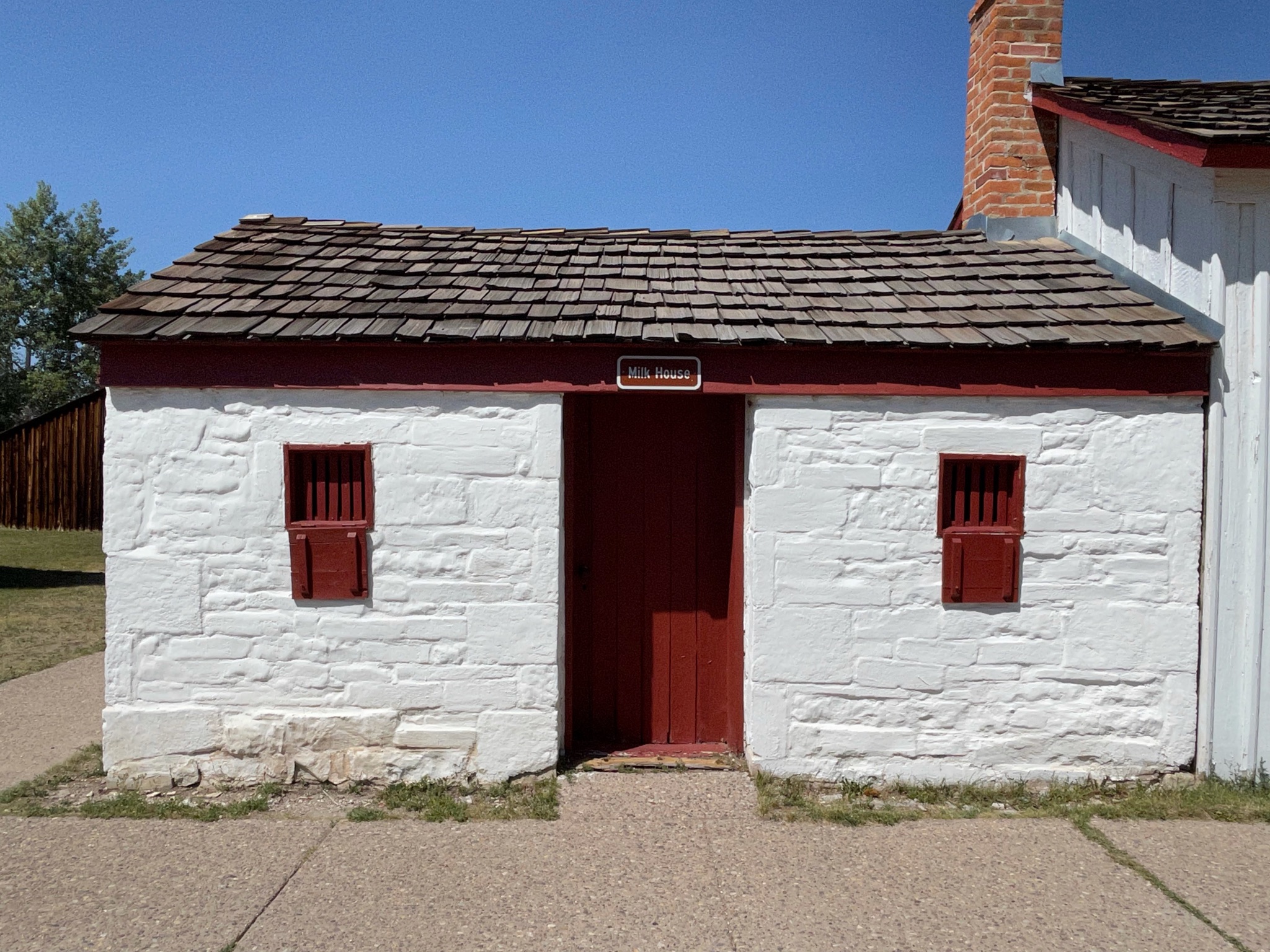
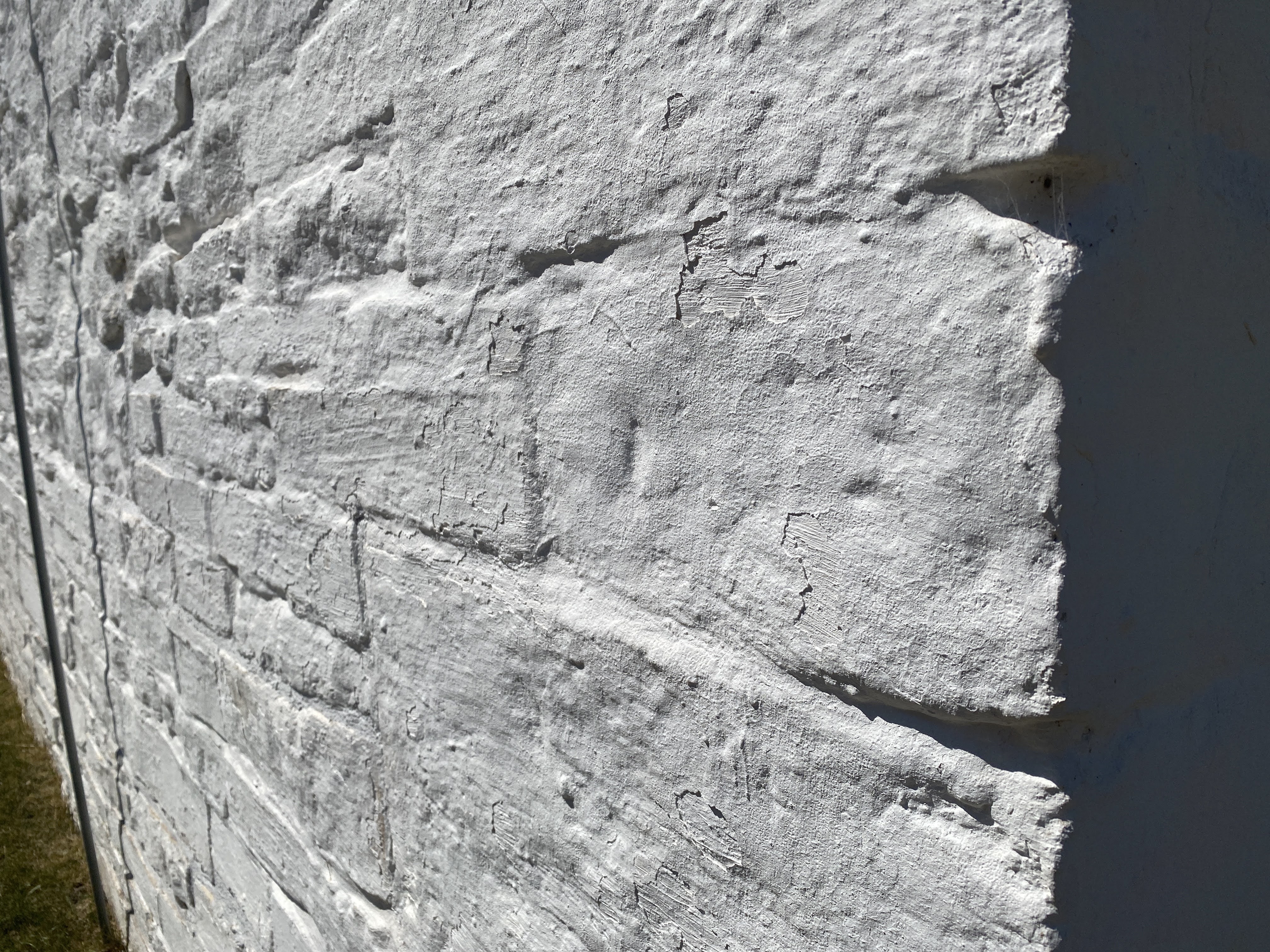
I particularly enjoyed the whitewashed hand cut limestone walls…
These stone buildings are original to the the mid 1800s…

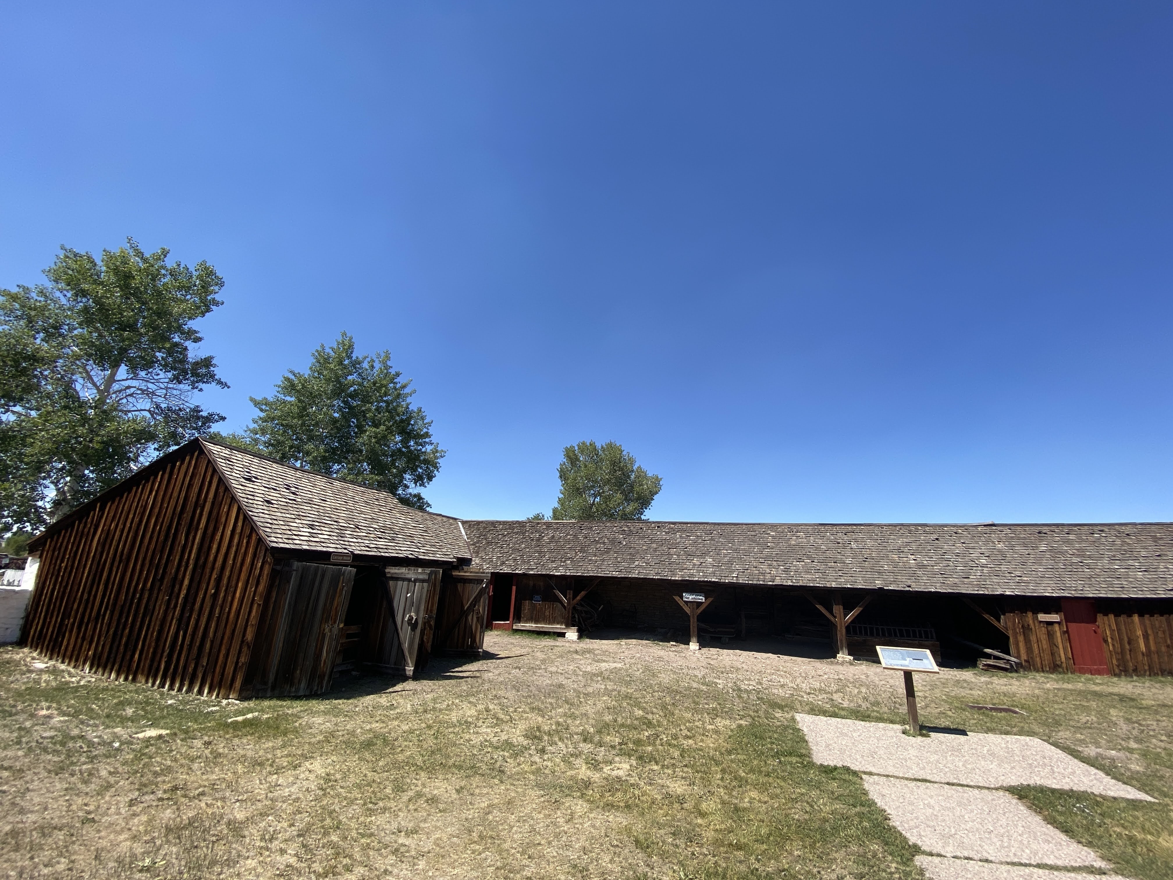
The wooden buildings are not original… Wood is such a terrible building material…

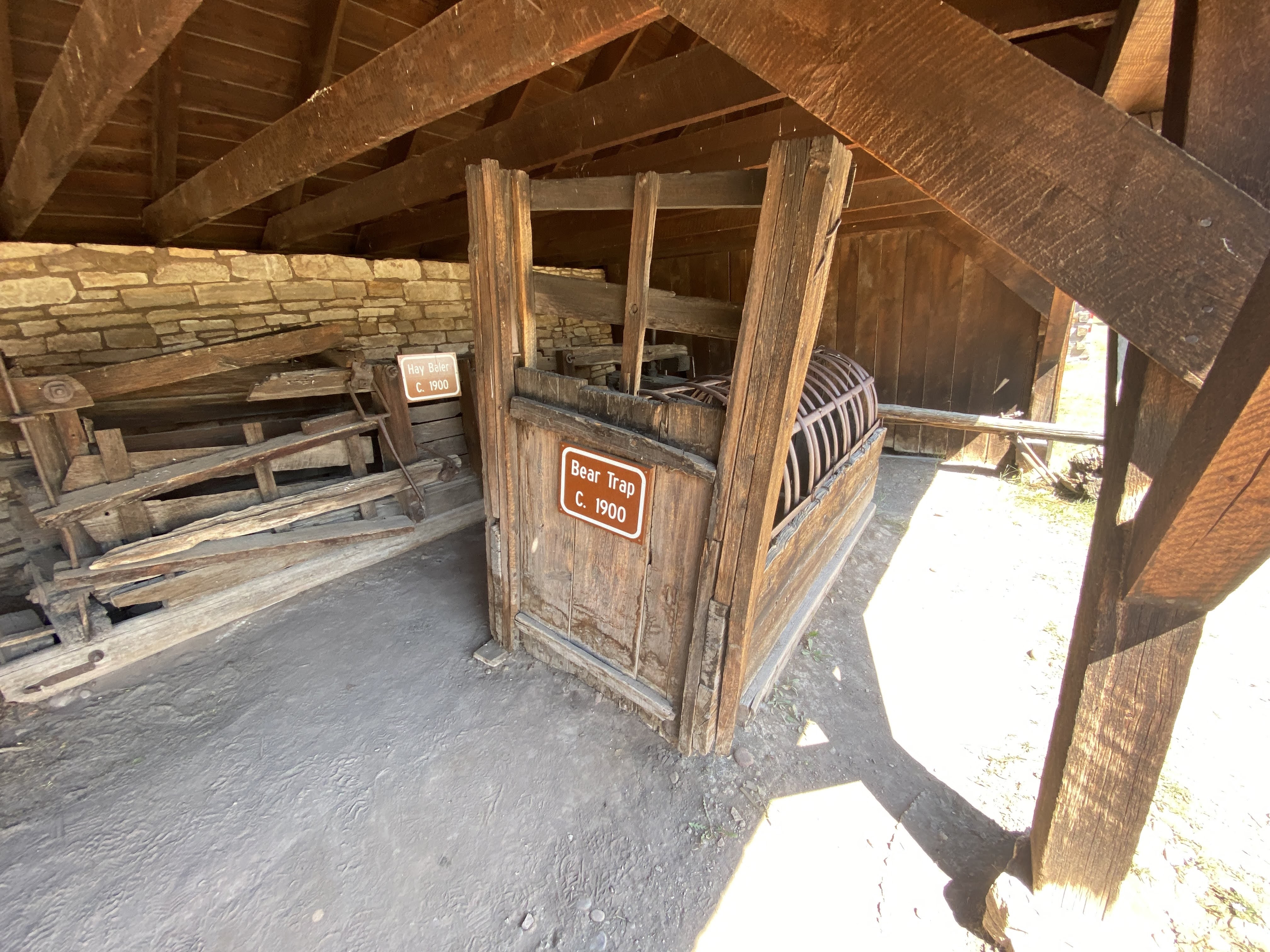
We enjoyed seeing the bear trap…
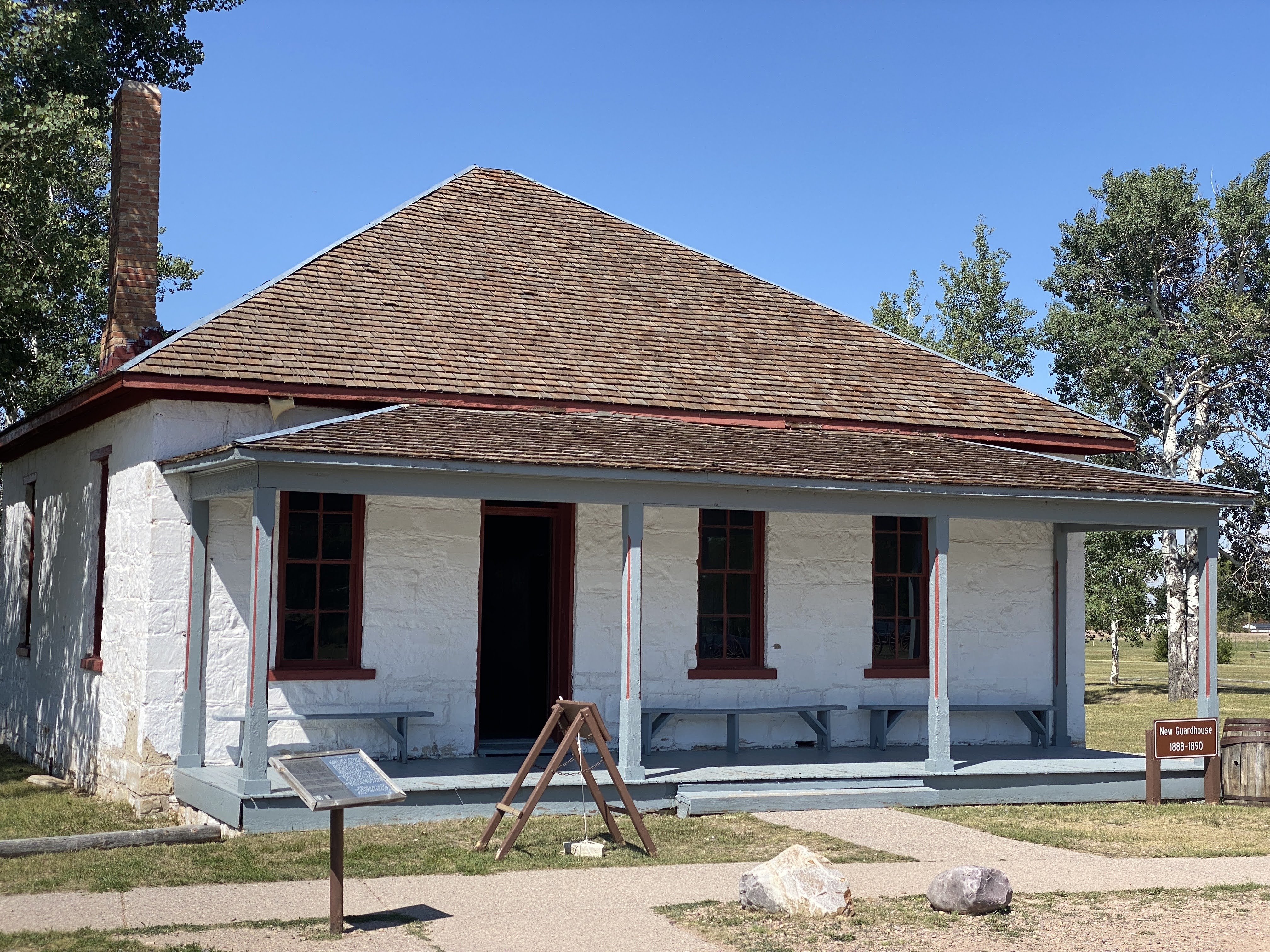
This is the guardhouse, complete with an office and the jail cells…
The main building is now the museum…

Here is a detail of the limestone walls…

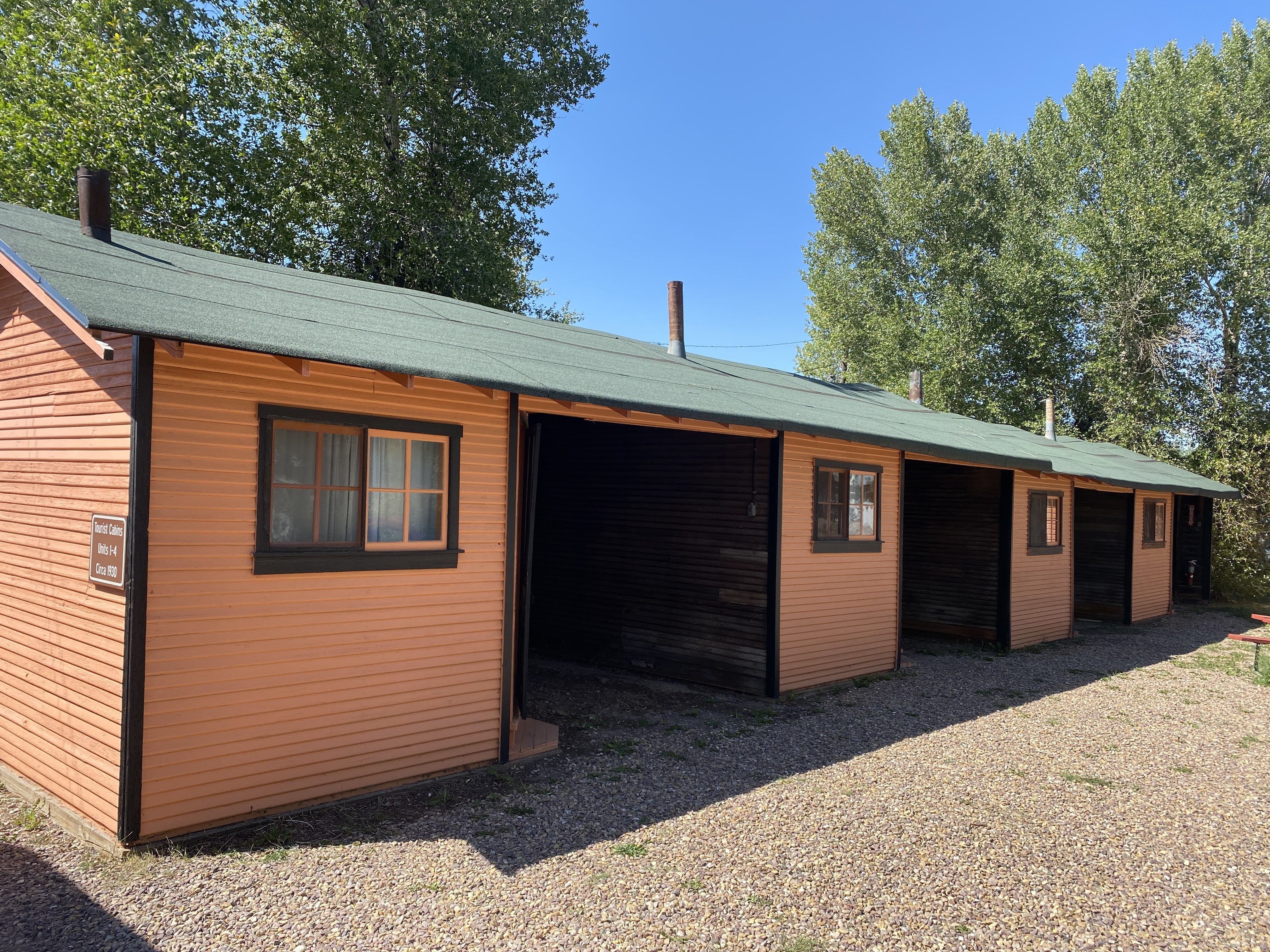
What I WAS interested was the roadside cabins… This is a restored example of typical roadside cabins that were all along the Lincoln Highway, offering motorists a place to spend the night…
The Lincoln Highway is one of the earliest transcontinental highway routes for automobiles across the United States of America. Conceived in 1912 by Indiana entrepreneur Carl G. Fisher, and formally dedicated October 31, 1913, the Lincoln Highway ran coast-to-coast from Times Square in New York City west to Lincoln Park in San Francisco, originally through 13 states.
The first officially recorded length of the entire Lincoln Highway in 1913 was 3,389 miles. Over the years, the road was improved and numerous realignments were made, and by 1924 the highway had been shortened to 3,142 miles.
The name of the Lincoln Highway was changed in 1926, as it became part of U.S. Route 30 from Pennsylvania to Wyoming. We on the Oregon Trail caravan have been following the route of US 30 for most of our trip…
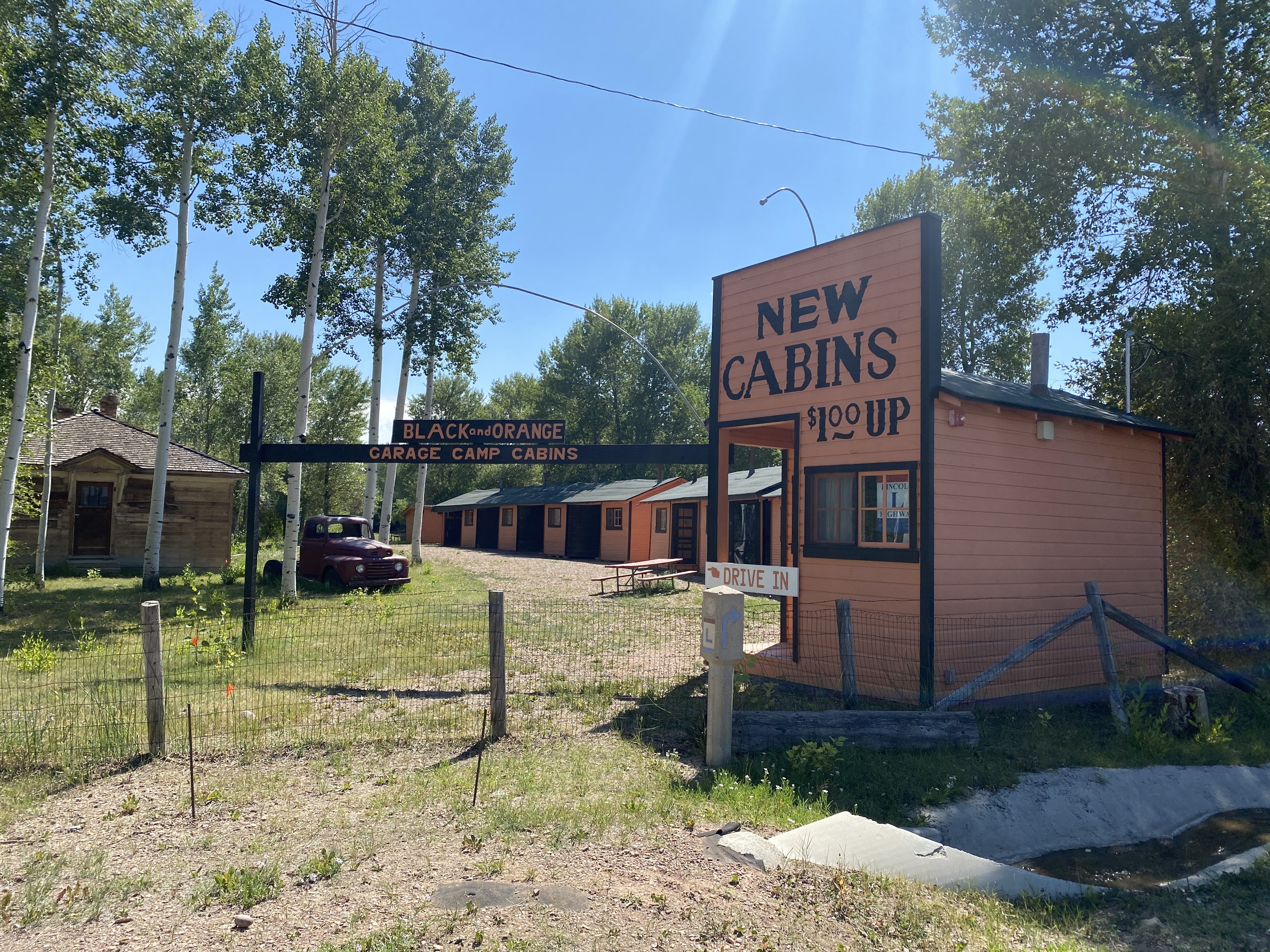

Note that each cabin had a carport. Not only did this give you a parking space, but there were no common walls between rooms…
Note that this is not a “motel”. The first motel was the Motel Inn (originally known as the Milestone Mo-Tel), located in San Luis Obispo, California, was the first motel in the world. It opened on December 12, 1925, and closed in 1991. The building is now the administrative building of the Apple Farm Inn hotel next door. I lived just down the street from the Motel Inn whilst I was a college student in San Luis Obispo…
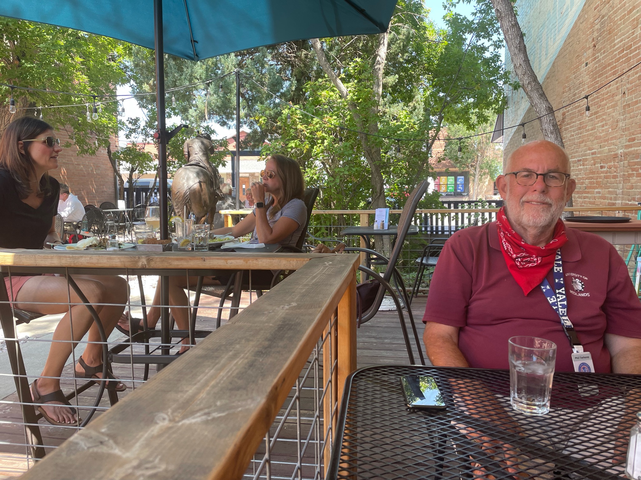
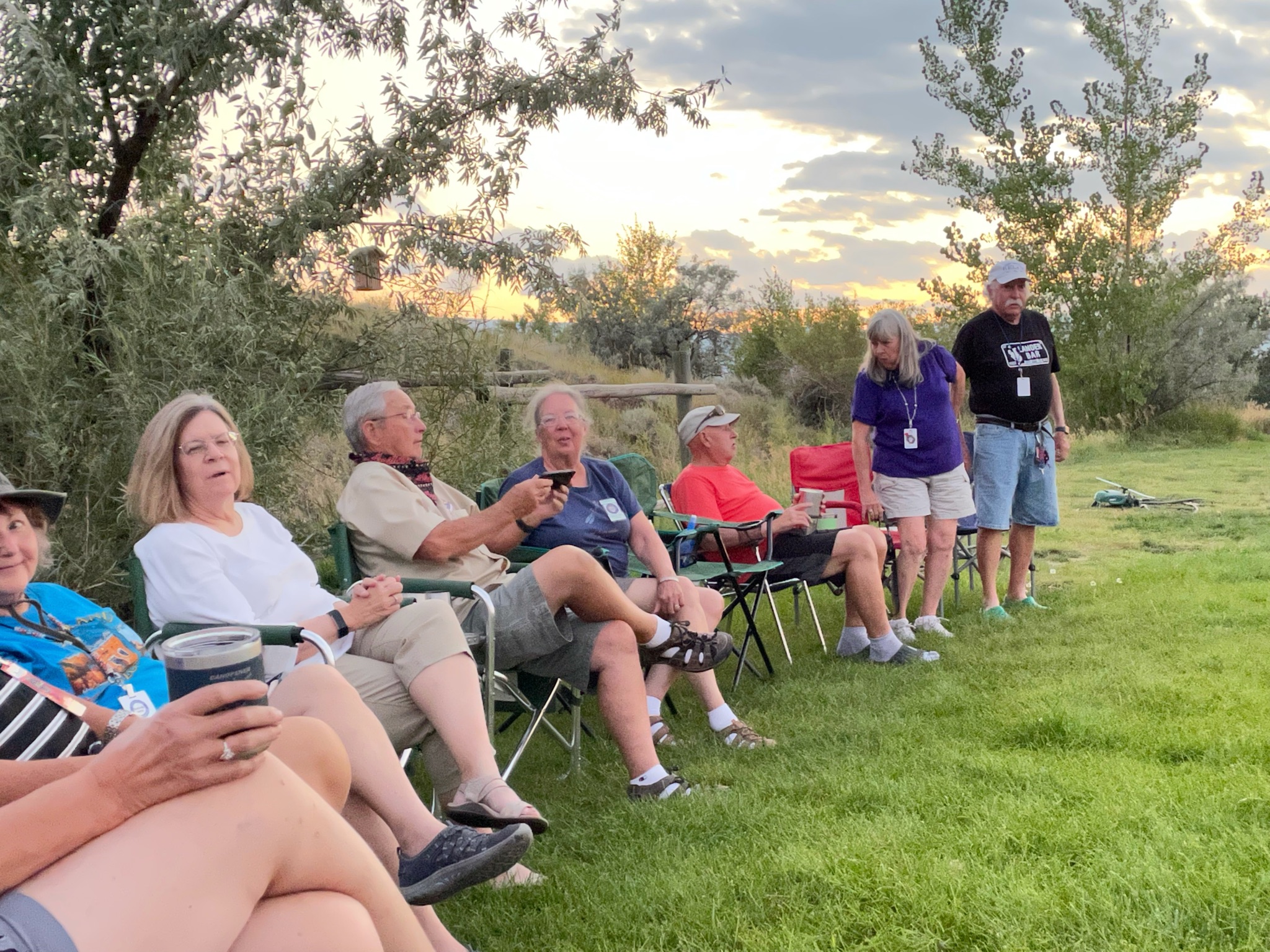
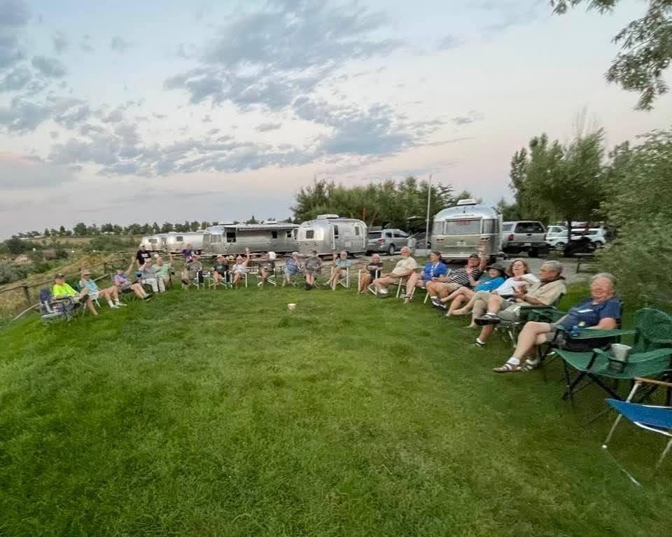
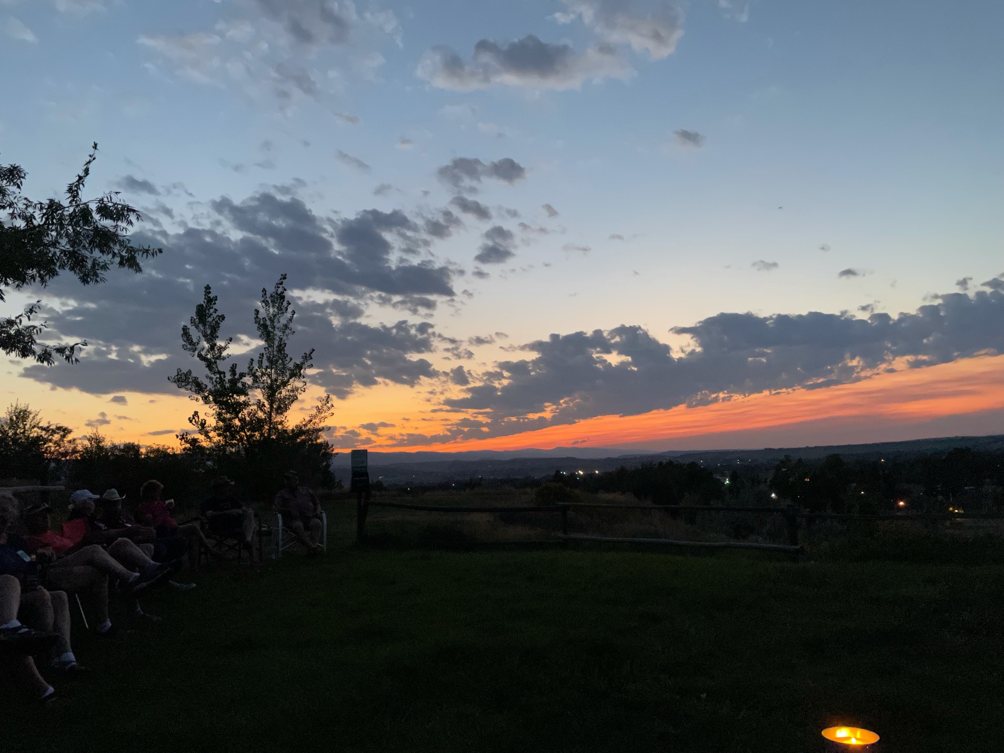
We returned to the Villa and happy hours ensued.
An enjoyable time was had by all…