Search

Adventures in the Villa

Category

National Parks

2021-08-27 – The Oregon Trail caravan … Day 30 – Welches, OR

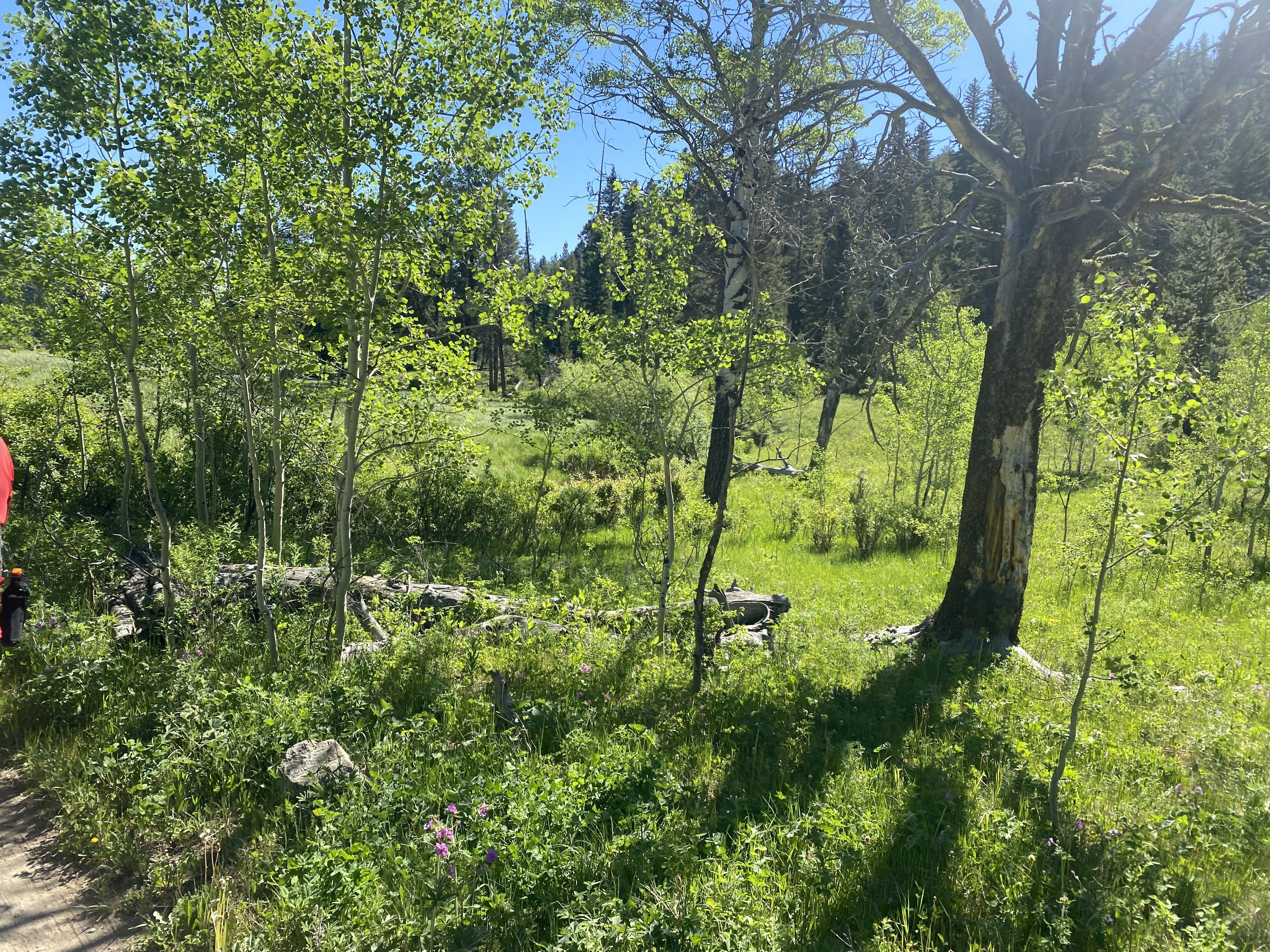
We awoke in the gloomy woods again… Did I mention we don’t like camping in dense dark forests?

Today we are climbing Mt. Hood. Not hiking, and not to the top. We drove up to the Timberline Lodge.

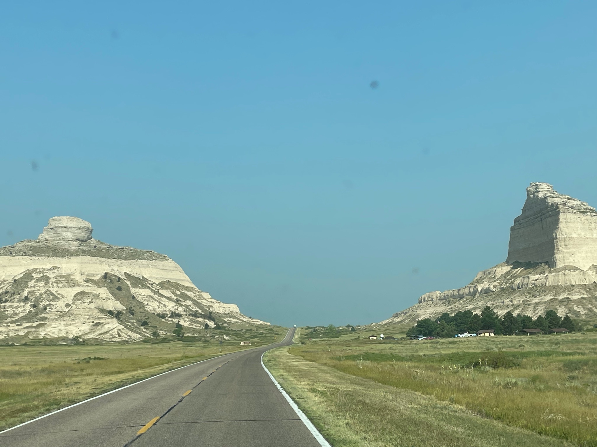
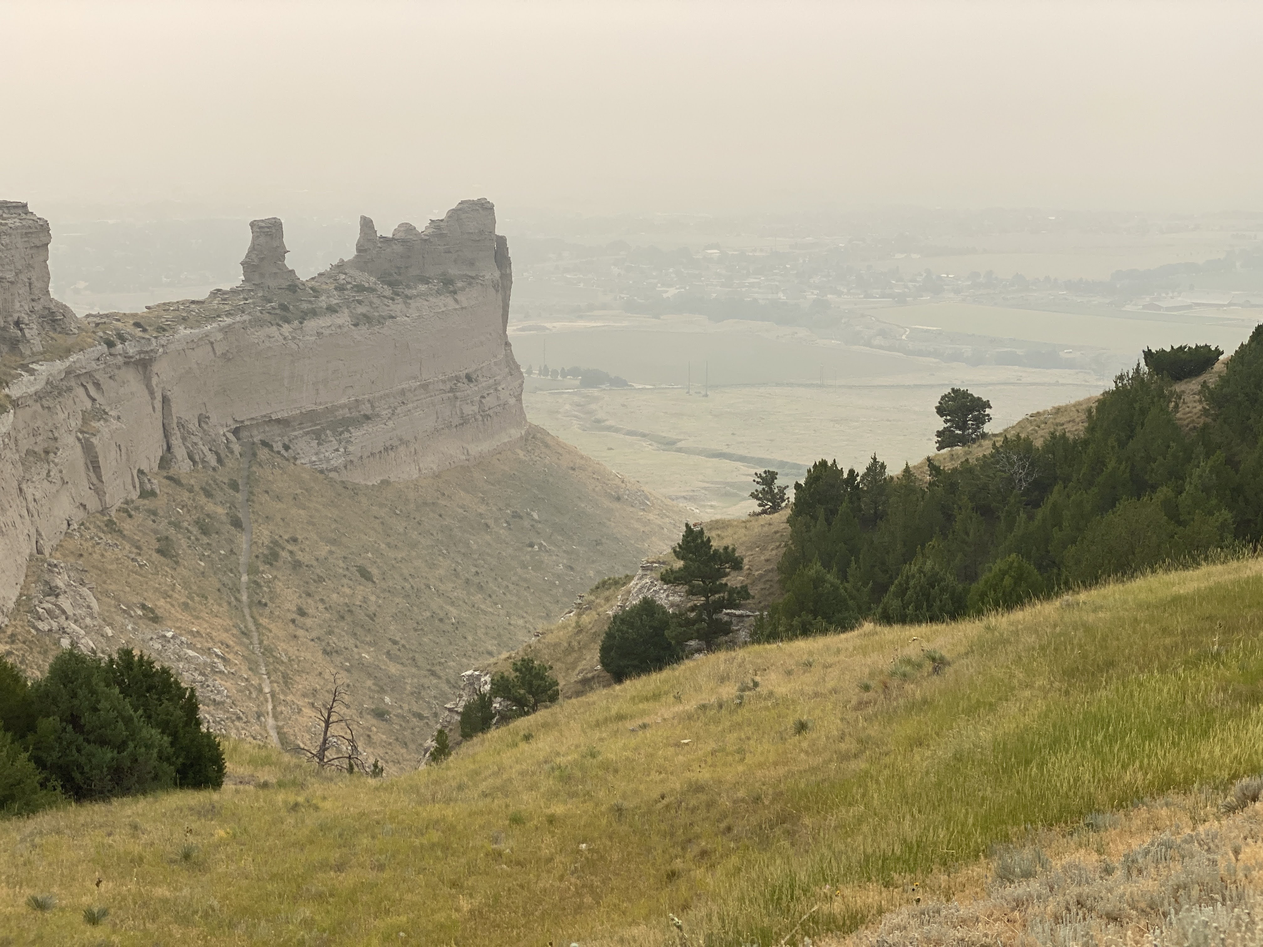
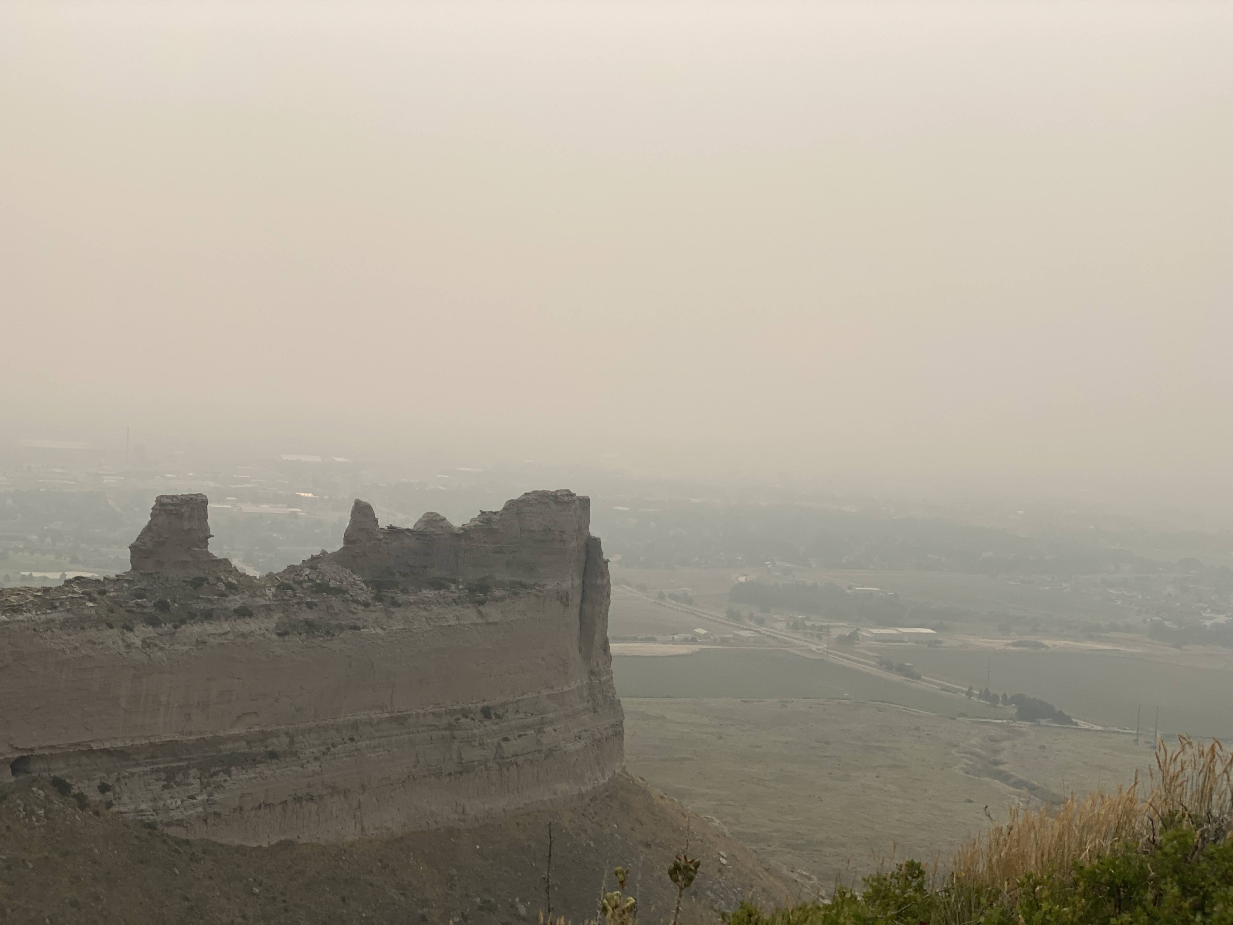
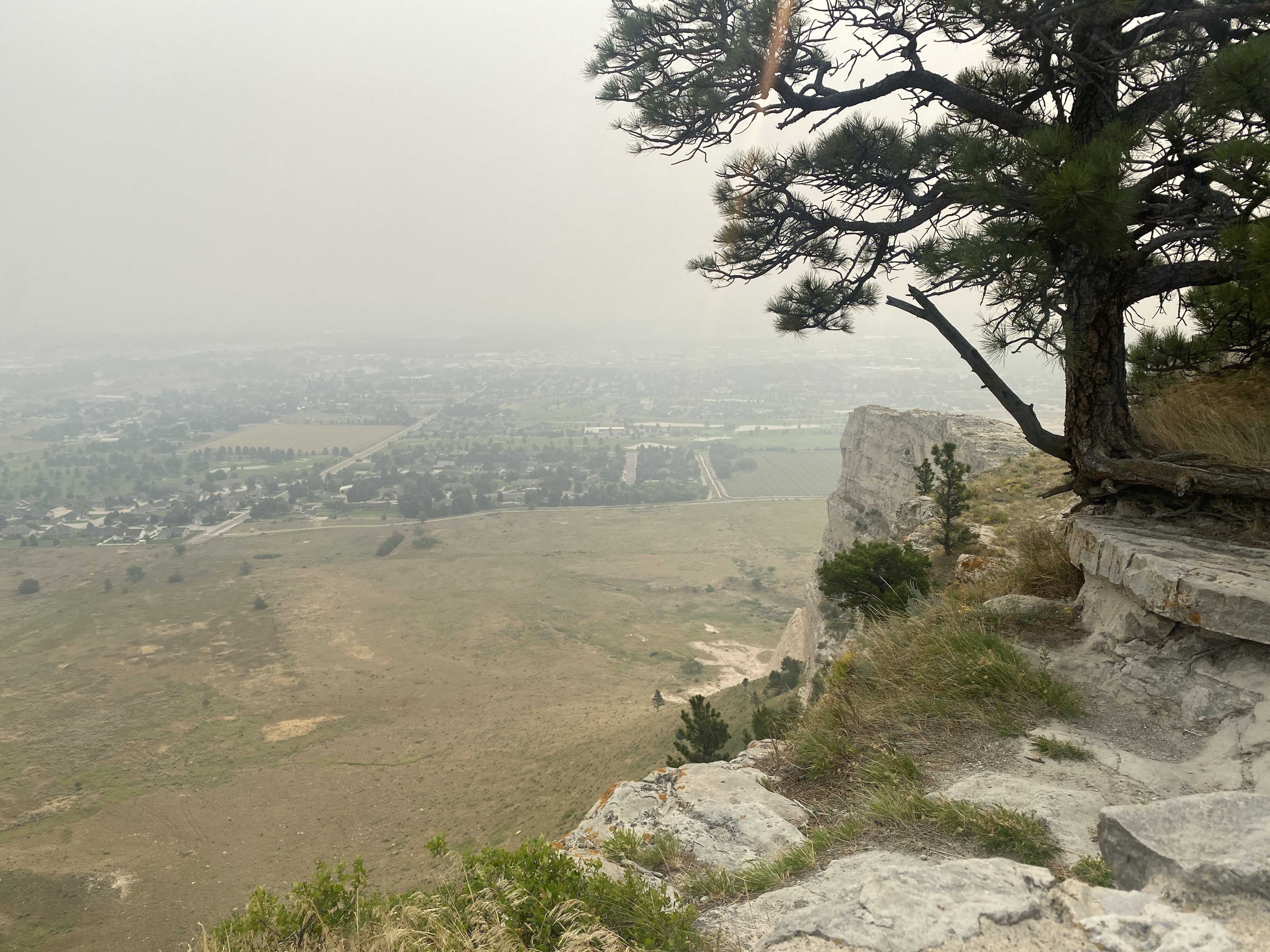
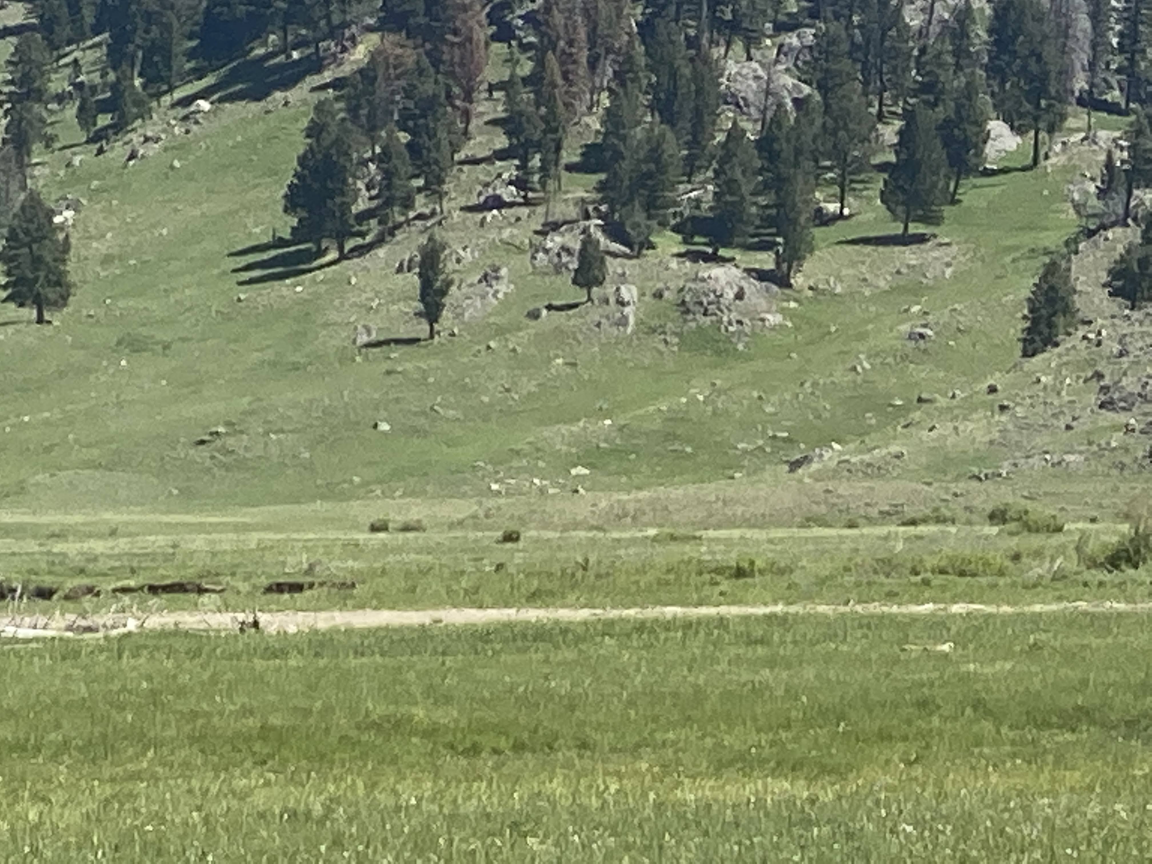
Mt. Hood is a potentially active volcano in the Cascade Volcanic Arc, sometimes known as the “ring of fire”… It is located about 50 miles east-southeast of Portland. In addition to being Oregon’s highest mountain, it is one of the loftiest mountains in the nation based on its prominence, and it offers the only year-round lift-served skiing in North America. It is approximately 11,240 feet in elevation, although the official height seems to change now and then…

We are here to see Timberline Lodge, a National Historic Landmark located on the southern flank of Mount Hood just below Palmer Glacier, with an elevation of about 6,000 feet.

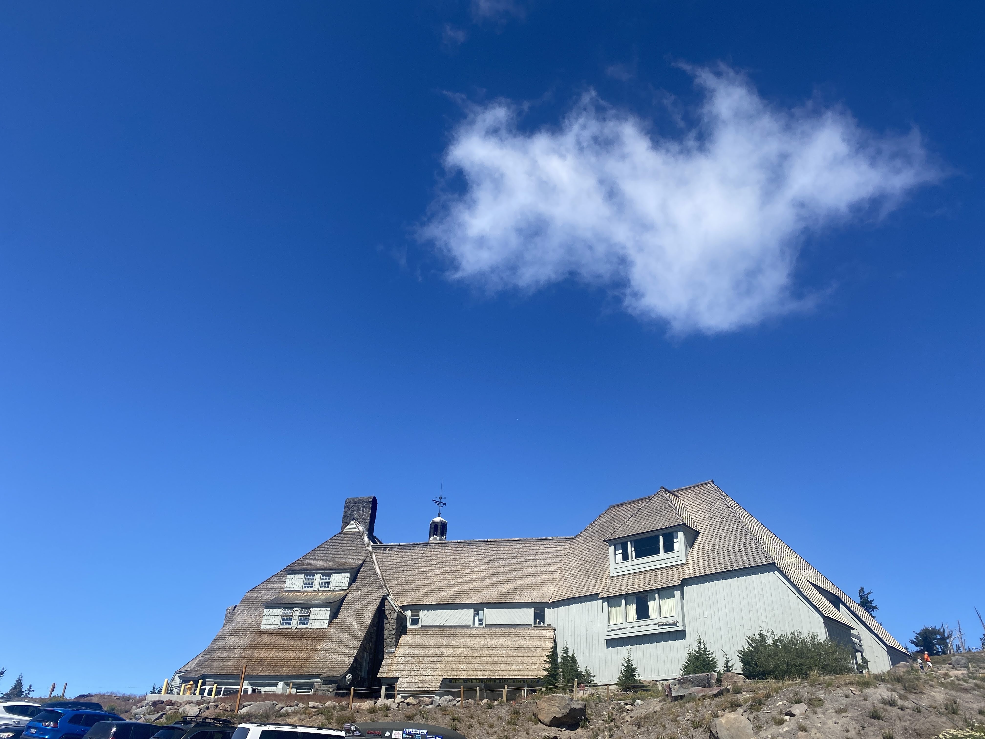
Publicly owned and privately operated, Timberline Lodge is a popular tourist attraction that draws two million visitors annually. It is notable in film for serving as the exterior of the Overlook Hotel in The Shining (1980).

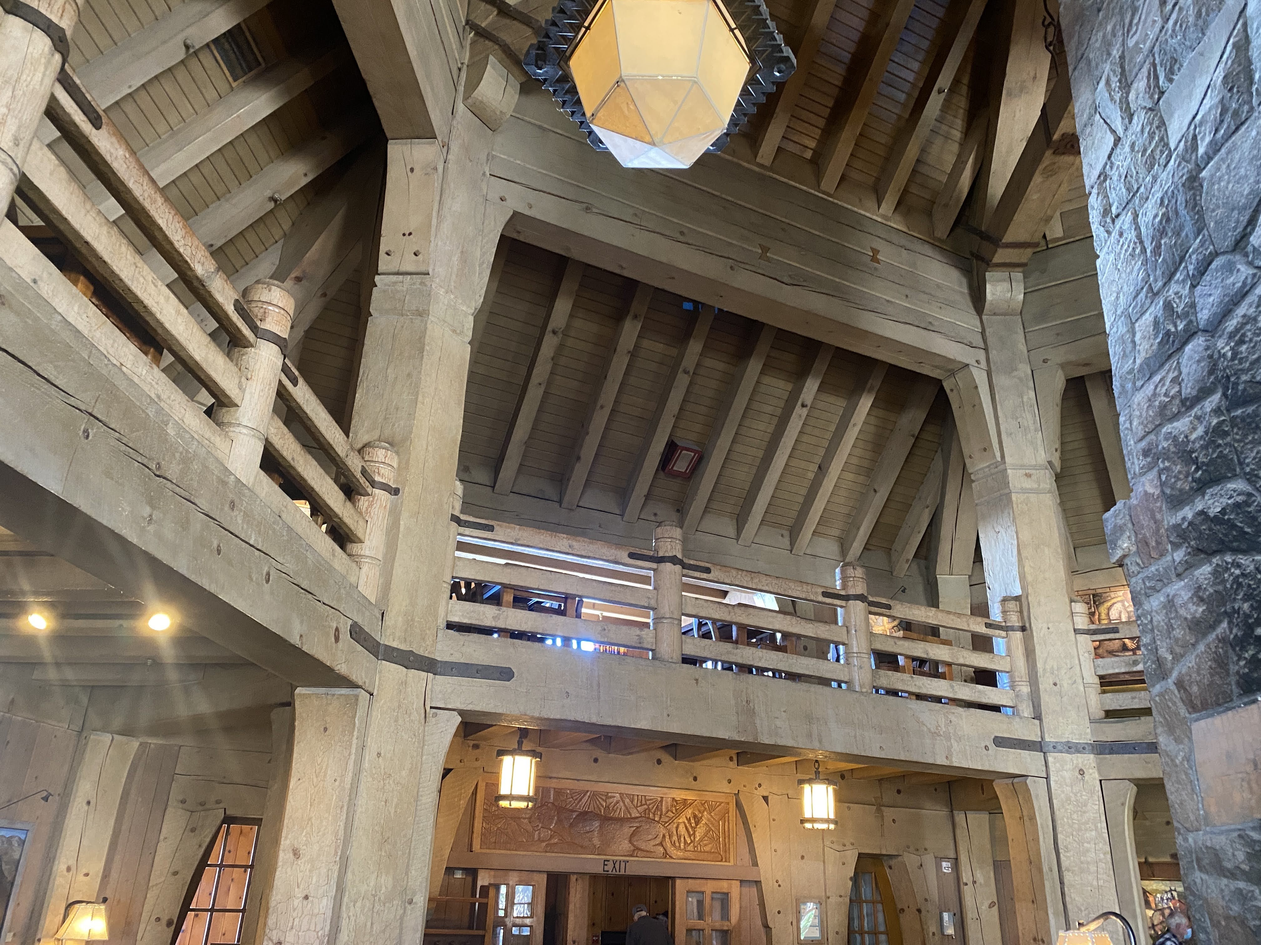
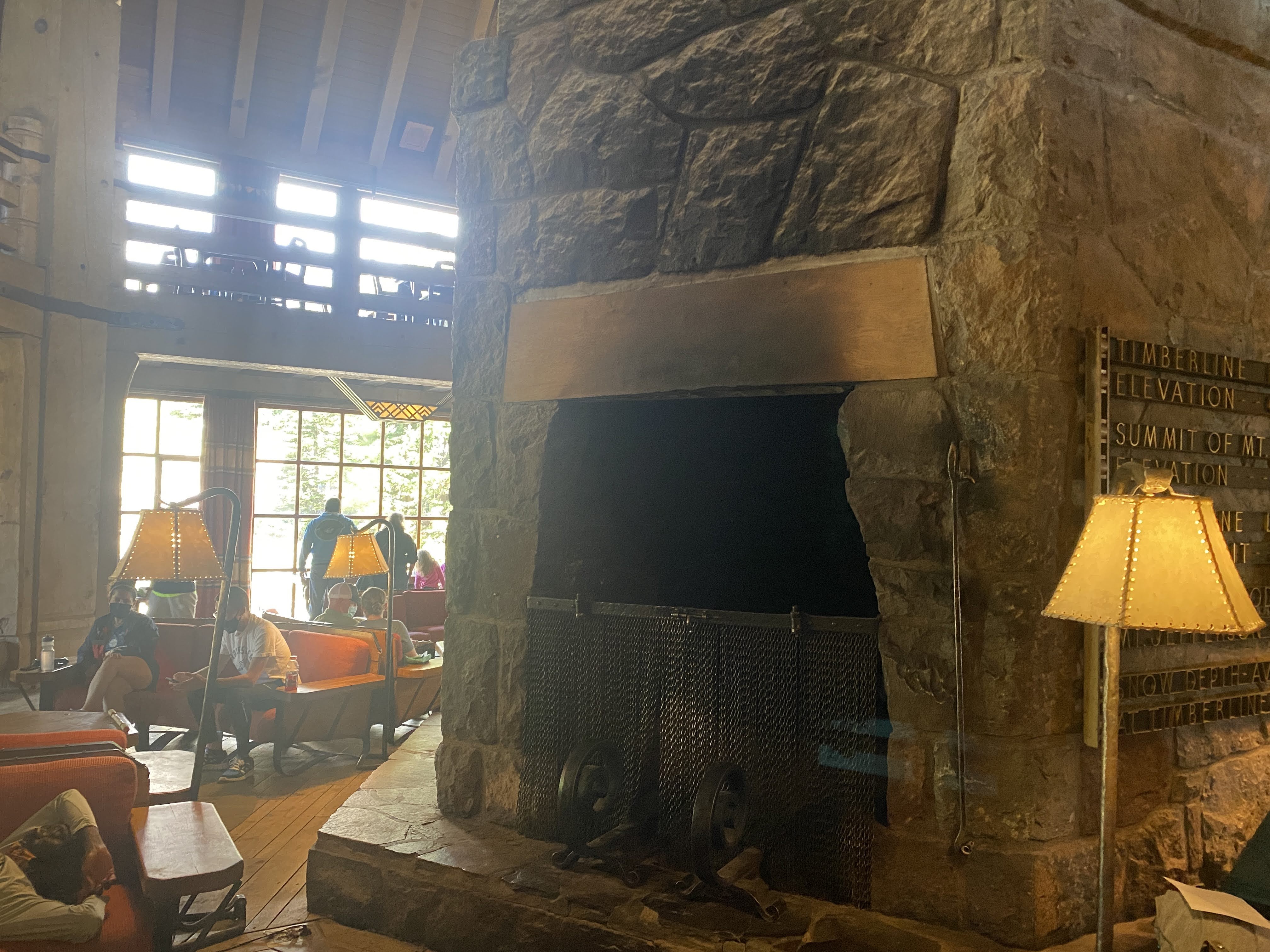
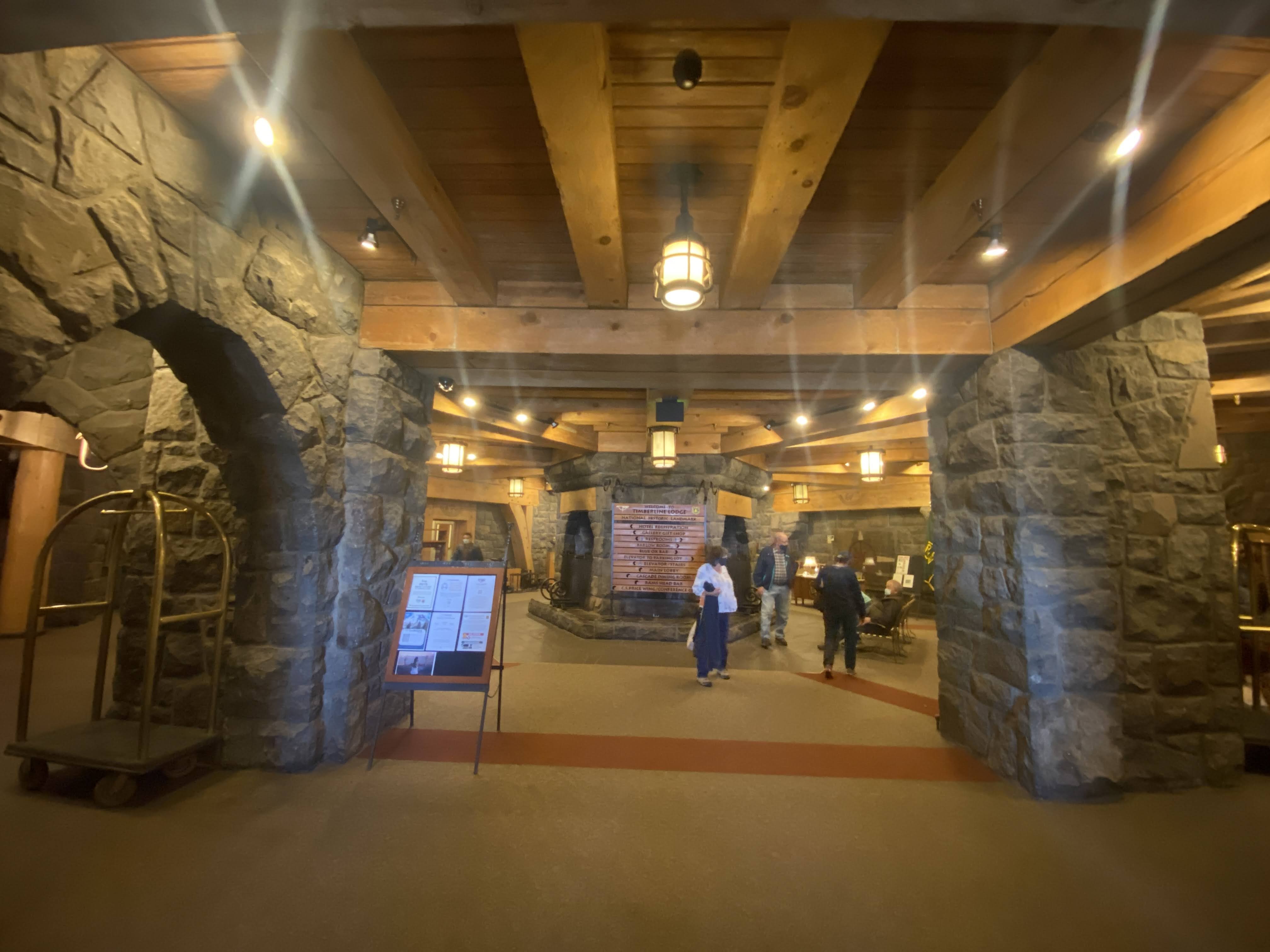
The lodge and resort hotel is a four-story structure of about 40,000 square feet. The ground-level exterior walls are heavy rubble masonry, using boulders from the immediate area, and heavy timber is used from the first-floor up. The central head house section is hexagonal and sixty-feet in diameter, with a six-sided stone chimney stack ninety-feet high and fourteen-feet in diameter. Each of the six fireplace openings—three on the ground floor, three on the first floor—is five-feet wide and seven-feet high. Two wings, running west and southeast, flank the head house. Oregon woods used throughout the building include cedar, Douglas fir, hemlock, western juniper and ponderosa pine.

The architect of Timberline Lodge is Gilbert Stanley Underwood, noted for the Ahwahnee Hotel and other lodges in the U.S. national park system. He produced the design. Then, his central head house was modified from an octagon to a hexagon by U.S. Forest Service architect W. I. (Tim) Turner and the team of Linn A. Forrest, Howard L. Gifford and Dean R. E. Wright. A recent graduate of the University of Washington, forest service engineer Ward Gano was structural designer.

Timberline Lodge was constructed between 1936 and 1938 as a Works Progress Administration (WPA) project during the Great Depression. Eighty percent of the WPA’s $695,730 total expenditure on building costs went toward labor. Skilled building trade workers received ninety-cents an hour; unskilled laborers received fifty-five cents an hour. Some of the skilled stonemasons on the project were Italian immigrants brought in after working on The Historic Columbia River Highway and other roads in Oregon. About a hundred construction workers were on site at a given time, and lived at a nearby tent city. Jobs were rotated to provide work.

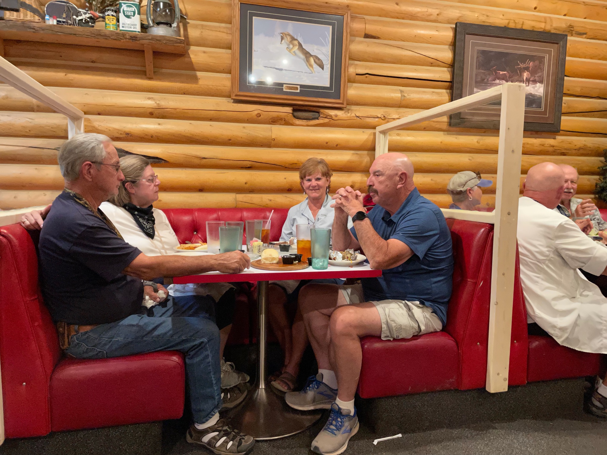
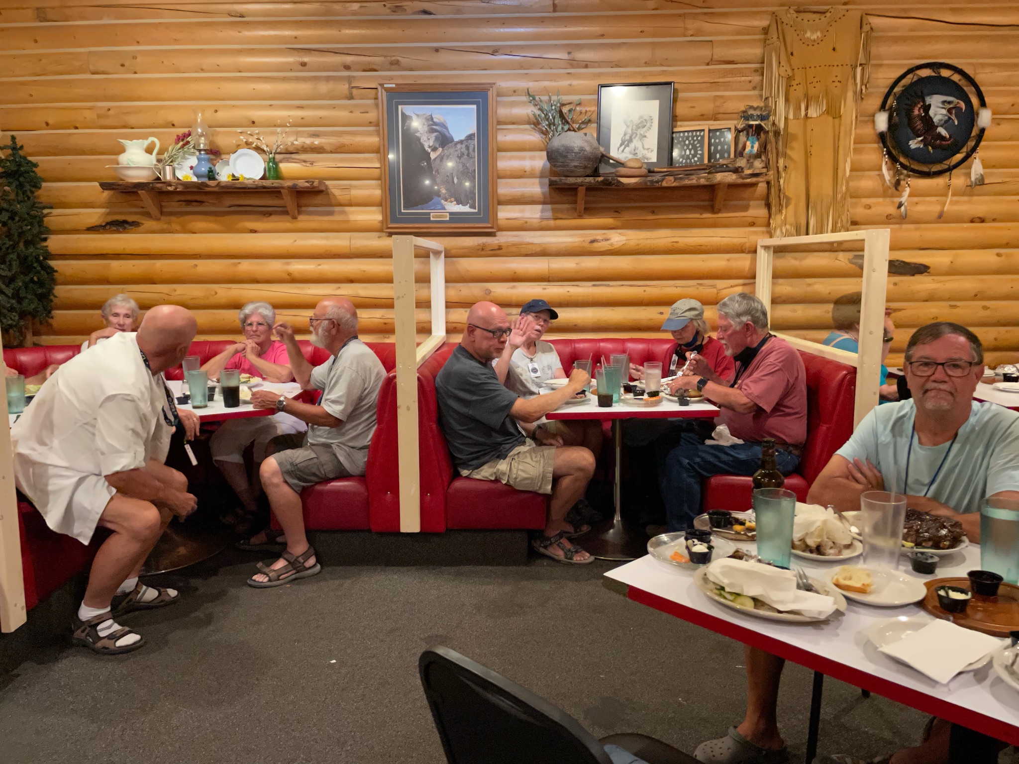
We were here not only to see the Lodge, but for lunch…

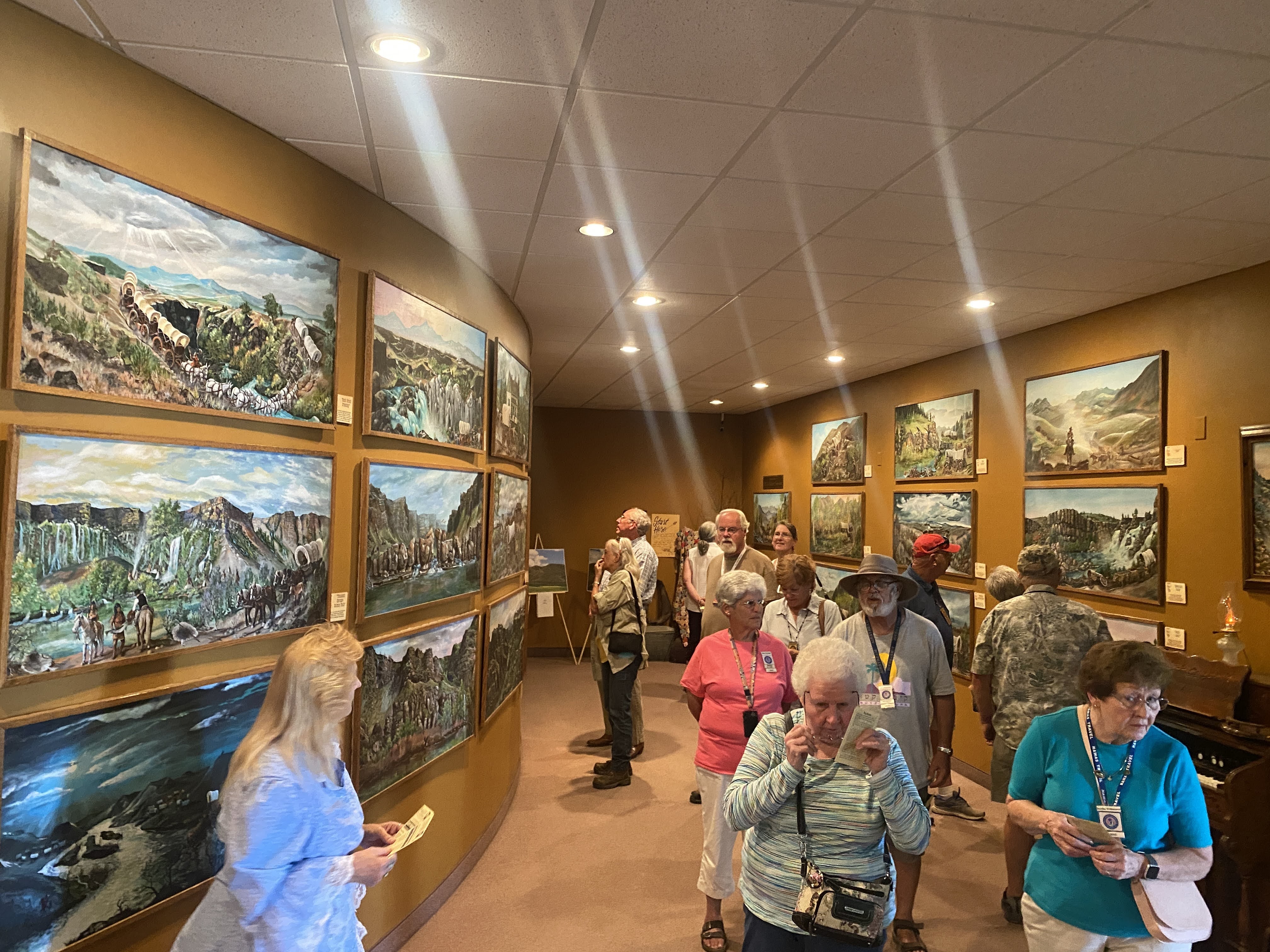
I love seeing these old lodges. I love to see the lifestyle of the residents. Here we see a typical writing desk that these lodges always provide…

Another feature of the Lodges is the array of large windows facing out to the prime views…

We returned to the Villa in the dark gloomy forest campground.

An enjoyable time was had by all…

2021-08-25 – The Oregon Trail caravan … Day 28 – Cascade Locks, OR

We escaped the doom and gloom of the RV park and headed to Portland! It will be good to do an urban hike and find a nice hip place for lunch…

We passed by the Bridge of the Gods, a National Historical Monument, crossing the Columbia River.

We enjoyed marvelous views of the Columbia River in the morning; we drove along a scenic parkway as we headed into Portland.

However, when the Oregon Trail emigrants came through here 170 years ago this was not the case. The Columbia has many dams on it and it looks like a placid lake. Railroads and highways have been built on levies and cut into the shear rock walls. When the emigrants were here it was a wild raging river. The wagon trail stopped at The Dalles, and only a single cow path continued on in to the Willamette Valley. More on this saga tomorrow…

Today was urban hiking day. We walked and walked all over the district or neighborhood called the Pearl… We enjoyed lunch at a sidewalk café and pretended that we were hipster urbanites…

Thirty years ago this area consisted of derelict railyards and warehouses. When the rails were removed the warehouses were remodeled into stores, office, and apartments. Then new apartments and condos were built. Today it is all built up into a marvelous mixed use neighborhood…

We headed back towards the Cascade Locks, driving over some great old bridges…

We stopped of briefly to see Multnomah Falls…

And then we stopped at the Bonneville Dam…

One of the first thing we saw was this turbine. It is a giant propeller that is driven by the flow of the water, and the turbine in turn rotates the generator, producing electricity… It is about 15′ tall. Family note here: My father used to build full size “models” of things like this, but out of wood. The wood model is used to make the die, or mold, into which molten metal is poured to produce the turbine…)

A fascinating thing is the fish ladder. The Columbia River is a huge spawning ground for salmon returning from the sea. Dams block their path. When the dam was built in 1936 the fish ladder was very primitive and experimental. However, when the dam was expanded by adding a second power house they installed a state of the art fish ladder. It is directly adjacent to the Visitors Center… The are underwater windows so you can watch the fish swim by…

The even count all the fish…

This is what the fish ladder looks like from the top…

On our way out we stopped in to see the navigation locks. These locks allow giant barges to pass through the dam…

Our final adventure of the day is a dinner cruise on this historic sternwheeler river boat. Except, it was broken…

But we met up at the cafe and waited for all the Airstreamers to arrive…

And here are the pickup trucks in which the Airstreamers arrived…

No, this is not our substitute boat…

But, hiding behind the broken sternwheeler is our substitute boat…

Inside was quite comfortable and we all gathered for dinner…

We enjoyed the sunset, as well as views of the surrounding shore, both on the Oregon side and on the Washington side…

We were able to go under the Bridge of the Gods…

And we enjoyed a nice dinner…

We returned to the Villa…

An enjoyable time was had by all…

2021-08-14 – The Oregon Trail caravan … Day 17 – Traveling Fort Bridger, WY to Montpelier, ID

We spent just one night at Fort Bridger, and we move today to Montpelier, Idaho. This will be a three state day: Lunch in Wyoming, Dinner in Utah, and sleep in Idaho.

We began again with the ever-changing Wyoming landscape…

We are headed to the Fossil Butte National Monument.

This image has an empty alt attribute; its file name is img_2674x.jpg

These bluffs are the shoreline of an ancient inland sea… The fossils we will be seeing are all sourced from here…

We proceeded to the Visitors Center

We were not the first to arrive…

Inside is a nice collection of fossils found nearby. There was also a good video showing how the fossils are found and extracted… Also, there was a man uncovering fossils as we watched…

We saw a crocodile…

A palm frond…

And a turtle…

We discovered that many rocks contain lots of Carbon…

In fact, note the Calcium Carbonate shown here; you will see mention of it later in this blog…

More views of the bluffs…

We headed out and shortly found a fuel stop and an opportunity for lunch…

More Wyoming landscape…

And then we entered Idaho!

We parked the Villa at the RV park, and headed over to the National Oregon/California Trail Center…

We had a guided tour of the exhibits depicting life on the trails, from getting prepared and buying provisions to actual travel down the trails…

There was an entire gallery of artworks prepared by a local husband and wife team…

We heard descriptions of the wagon, and contents (1,200 – 1,500 lbs. of food), and life on the trails…

We saw a typical supply store where anything you wanted could be purchased…

Then we heard some tall tails after we spent a few minutes inside a simulated wagon ride…

After the museum we headed south to Utah for dinner… We soon found ourselves on the shores of Bear Lake.

Bear Lake is a natural freshwater lake on the Idaho–Utah border. About 109 square miles in size, it is split about equally between the two states. The lake has been called the “Caribbean of the Rockies” for its unique turquoise-blue color, which is due to the refraction of calcium carbonate (limestone) deposits suspended in the lake. Limestone! I told you I would mention it again! Its water properties have led to the evolution of several unique species of fauna that occur only within the lake. Bear Lake is over 250,000 years old. It was formed by fault subsidence that continues today, slowly deepening the lake along the eastern side. In 1911 the majority of the flow of the Bear River was diverted into Bear Lake via Mud Lake and a canal from Stewart Dam, ending 11,000 years of separation between the lake and that river system.

Today the lake is a popular destination for tourists and sports enthusiasts, and the surrounding valley has gained a reputation for having high-quality raspberries.

Unfortunately, due to smoke from fires in Oregon, the air is very hazy, obscuring the mountains across the lake…

On our way to Bear lake we passed a marvelous Mormon Tabernacle in the town of Paris, ID.

We entered Utah…

We stopped for a little refreshment before dinner at Coopers, a restaurant at a golf course in Fish Haven, ID

At the appointer hour we arrived at the Bear Trapper, in Garden City, UT…

All the Airstreamers are here!

After dinner Lynda and I walked down to the shore of the lake.

Garden City is a vacation area tourist place, much like the coast of Maine, Cape Cod, and the Wisconsin Dells. Lots of ice cream and fast food places that are absolutely overrun with tourists out for a good time. The traffic was terrible…

Boaters are everywhere…

And late on a Saturday afternoon in August the line to bring your boat trailer in to take your boat out of the water was hours long…

We returned to the Villa in time to see the sun set into the smoke…

An enjoyable time was had by all…

2021-08-09 & 10 – The Oregon Trail caravan … Days 12 and 13 – Evansville and Casper, WY

Short stories today. I woke up Monday with a sore throat; Lynda has had a cold since Saturday. We stayed in all day…

We did manage to get outside and walk a bit around the RV park, but it is constantly hot and dusty and windy…

We were feeling well enough to get out about 4:00 and join the club at a very good steak house nearby. After a few Old Fashioneds at the bar, and an appetizer of steak tartare, we joined the others for prime rib and cheesecake…

We returned to the Villa and turned in early…

Tuesday we felt a bit better (or at least Lynda did…) We headed out at 10:00 am to see the National Historic Trails Interpretive Center in Casper…

It is located on a bluff adjacent to the Overland Trails – the trails used by the emigrants to Oregon, the 49ers going to California, and the Mormons going to the Great Salt Lake valley…

Before we had left the campground this morning our leaders asked that the ladies wear their Oregon Trail bonnets and dresses… As you might guess, we are non-participants in activities such as this…

We walked toward the museum building…

The building itself reflects a lot of imagery…

The blue wall segments represent the continuous westward trek by the pioneers and the emigrants, always up hill. Missouri is at about 2,000′ elevation, and the continental Divide is at roughly 7,000′ where the trails crossed it…

The stone wall is all native sandstone, and the green wall represents the sagebrush that was the emigrants constant companion on the prairie.

The arch portal, of course, represents the hoops and canvas of the covered wagons…

Inside we watch a short film about the emigrants. The lifesize displays added to the realism of the film…

Some of the Mormon emigrants could not afford oxen or mules, so they carried their possessions for 1,500 miles using handcarts. Lynda gave it a try!

One of the more interesting tidbits of the radical changes the emigrants brought to this region is in addition to all the other self-inflicted damage that I have reported on – loss of food and habitat for Indians, Pony Express ended by the transcontinental telegraph, wagon trains ended by the railroad, small towns ended by the Interstate Highways…

As the 350,000 emigrants passed through here on the trails small settlements sprang up to service the needs of the emigrants. When the trains ended the wagon travel, the rails took a different route again, this time to be more convenient to the coal deposits of southern Wyoming. These settlements slowly vanished…

Outside the Museum is a reproduction of a typical Pony Express station. There is a small stable and a small office for the station master. The station master lived here alone; and he was alone – he was visited by only four Pony Express riders per week. Otherwise he was free to fend for himself. When the Pony Express ended, most of these stations were retrofitted to be relay stations for the telegraph… Adaptive Reuse!

We returned to the Villa. I took a nap… Then we had a modest Happy Hours. We walked around the RV park in the evening…

An enjoyable time was had by all

2021-08-08 – The Oregon Trail caravan … Day 11 – Gering, NE to Evansville, WY

We are leaving Nebraska today, traveling to Casper, WY (actually Evansville…).

But before I talk about today, here is a picture of all of us at Scott’s Bluff yesterday…

We drove through the Robidoux Pass, between the major cliffs at Scott’s Bluff. We will be following the the Oregon Trail for much of our trip today…

Beyond we see Nebraska countryside once again…

As we move west, closer to Wyoming, the terrain changes…

We entered Wyoming and found the town of Fort Laramie. Surprise! There is a fort here! As we headed for the fort we crossed over the North Platte River (for about the 8th time today…). Adjacent to the modern bridge we crossed is the old iron bridge built by the Army in the mid-1800s…

As we approached the fort we encountered three of our friends as they were leaving…

The visitors center had several well developed displays telling the history of the fort. It was originally a trading post, until the US Army bought it in 1849. By 1849, as California-bound 49ers joined the Oregon Trail emigrants the trickle of wagons across the plains had become a flood. The fort provided protection in addition to becoming a major supply post, the first since Fort Kearney, 600 miles to the east…

As the emigrants passed through the area they brought destruction… Annually, 10,000 wagons, 50,000 people, and 75,000 head of animals passed through here. The people and cattle killed and/or chased away the game, depriving the Indians of their food supply. Livestock trampled the grass across a two mile wide swath of land. The wagon wheels scarred the land; these scars are still visible over 150 years later. (As we will see at our next stop…)

Peace with the Indians was spotty at best. Treaties were made, treaties were broken. The Platte River Ferry incident and the Grattan Fight brought peace to an end. For 25 years the Northern Plains Indian Wars raged. By 1860, as the emigrant traffic slowed (with the introduction of stagecoach travel, and then train travel) the fort transformed from a rest stop for emigrants into a base of military operations against the Northern Plains tribes…

Through the 1860s the fort stood as a vital link between the east and west. 500,000 people now lived west of the Rocky Mountains. In 1860 the Pony Express came through, followed by the transcontinental telegraph. When the Civil War began, troops were withdrawn from the fort. The small crews left behind had to scramble with maintaining the hundreds of miles of telegraph lines. As the Indian wars rages, Indians attacked the fort, telegraph lines, stagecoach travel, and the wagon trains. The Fort Laramie Treaties of 1868 held the promise of peace on the plains. It was short lived…

The beginning of the end was Col. Custer and his defeat by Sitting Bull at Little Bighorn in 1876. This so enraged the army (and the federal government) that they set out on a mission of retaliation. This culminated at Wounded Knee in 1890, with the slaughter of between 150-300 Lakota Indians by the US Army. It ended any organized resistance by the Indians to living on reservations.

Fort Laramie in the 1880s was a “golden era”, as a false sense of of permanence prevailed. New buildings were built, old buildings were improved, and an active scene prevailed among the officers and the local citizens. In the mid 1880 a railroad nearby brought all the amenities of Victorian life to the fort.

In 1886 a new, larger railhead was built at the adjacent Fort Robinson. It made Fort Laramie superfluous. In 1889, the fort was closed and abandoned. In 1890, the land and buildings were sold at a public auction. Also in 1890, Wyoming was declared a state and the Indians were all on reservations. In 1890, the Superintendent of the Census declared that the American frontier had ceased to exist.

In 1937 a group of local residents of the town of Fort Laramie finally prevailed on the state of Wyoming to purchase 214 acres of old fort property, and preservation and restoration of the fort was begun.

I’m not a fan of forts and old buildings like this. We saw the fort, we learned the history, and we traveled on… It was a god thing that we were leaving now… In a few minutes the parking lot looked like this:

So we hurried on… About ten miles down the road we came to the town of Guernsey, with its giant rail yard. All these train cars are filled with coal, heading into Nebraska to fuel the 15 giant power plants there…

We crossed the North Platte River, again…

We found the ruts we are looking for…

These runts, worn into the sandstone, are impressive…

As we returned from the ruts and trails we found the Villa in the distance…

We drove the short distance back to the town of Guernsey. We stopped at the Twisted Eatery for lunch…

Nothing fancy here. No avant garde food. Just well made, simple food. We enjoyed our sandwiches! And we traveled on…

We arrived at our campsite in Evansville, adjacent to Casper… Lots of gravel, and a small patch of plastic grass at each site…

Happy hours were enjoyed. It is hot and windy this afternoon and evening. We enjoyed our view of the North Platt River…

An enjoyable time was had by all…

2021-08-07 – The Oregon Trail caravan … Day 10 – Gering, NE

We slept fitfully all night because there was a very strong windstorm blowing outside… but the morning dawned nicely.

We rode along with another Airstream couple from Jerusalem… We headed towards Scott’s Bluff National Monument…

In the 1930s the Park Service, with the help of the CCC, constructed this road to the top of the bluff, including three tunnels…

The views from 800′ above the valley floor must be spectacular. Unfortunately, we have smoke-filled skies from the Canadian fires.

A close-up look at the bluff shows the layers: on top, the limestone cap, then alternating layers of sandstone, volcanic ash, and clay… The entire area around here used to be plains at the same elevation of Scott’s Bluff. However, most of it lacked the limestone cap, so over a few million years it has all eroded away to todays configuration…

We walked along the paths trying to see different views. Still smoke all around…

Back down at the Visitors Center we looked at the exhibits. We looked at the bluffs from below…

Then we walked along the real, authentic Oregon Trail…

Next stop was the famous landmark: Chimney Rock…

There was a very nice visitor center…

One of the exhibits showed the Oregon Trail through Nebraska. Note Chimney Rock to the left… (We leave Nebraska tomorrow…)

Behind the Visitors Center is the official view of Chimney Rock:

Chimney Rock is similar composition as Scott’s Bluff, with the exception that there is no limestone cap. Therefore, Chimney Rock is eroding much faster than Scott’s Bluff, and it will soon melt into the surrounding plains…

We returned to the Villa, had a leisurely afternoon… tomorrow we head for Wyoming!

An enjoyable time was had by all…

2021-08-06 – The Oregon Trail caravan … Day 9 – Ogallala, NE to Gering, NE

Another travel day…but not too far. Only 125 miles. We are camping in Gering, NE, tonight, adjacent to the Scott’s Bluff National Monument and the city of Scottsbluff.

We started the day looking at corn. We;ve seen hundreds of cornfields in the past two weeks, but we had never looked at it up close…

We set out at about 9:45. We retraced some of the route from yesterday’s trip to Ash Hollow. We did see, for the first time on this trip, rectangular hay bales. These are not like the hay bales of my youth on the dairy – they are about the size of 8 of those old bales…

We crossed the North Platte River for the umpteenth time…

This image has an empty alt attribute; its file name is img_2209x.jpg

As we neared the town of Gering we could see some of the bluffs in the distance…

We could even see Chimney Rock, the famous landmark that all Oregon Trail emigrants mentioned in their diaries…

The reason for the terrible picture is that the skies are overcast with smoke from the Canadian fires (or, as they call them in Canada, fires..).

We turned off towards the town of Scottsbluff. We parked the Villa and found a good restaurant for lunch: The Tangles Tumbleweed.

We ordered a bottle of Russian River Valley Pinot Noir, and Lynda was happy…

We enjoyed bacon wrapped dates stuffed with bleu cheese, and also duck wonton with a berry compote. Excellent food – we wished we could have ordered more. We have been surprised twice now in Nebraska with being able to find great lunch restaurants…

We headed towards the RV Park. We can see Scott’s Bluff to the west, still overcast with haze and smoke…

We parked the Villa and we are now all hooked up…

The RV Park has very large sites and lots of grass…

We settled down inside and started to think about happy hour when the wind started to blow. Hard. I went out to put down the awnings and I was caught in a deluge… We were hit with a huge thunderstorm! However, an hour later it had passed.

We were joined by another Airstream couple for Happy Hours. He brought a Vodka Gimlet for me to try. Tasty!

Our guests left, and we had a light supper. An enjoyable time was had by all…

2021-07-24 – Heading to Missouri for the Oregon Trail caravan… Day 2 – Camp Verde, AZ to Grants, NM

We had a fairly leisurely morning. We enjoyed a walk around the RV park, and eventually got around to packing up and heading out. We drove north towards Flagstaff. About 20 minutes into the trip I realized that I had failed to attach the electrical umbilical cord. We stopped as soon as it was safe. Indeed, it was dangling off the tongue , and dragging on the pavement. It was a bit worn…

But I was able to reconnect it and everything (lights, brakes, etc.) were all working again. And we were off again.

At Flagstaff we turned east and proceeded across more desert. We entered New Mexico…

We had more rain around Gallup, and lots of traffic after that. The roads in Arizona are abysmal, even though they are constantly under reconstruction. Today we came to a “detour” without any warning, and without posting an alternate route. We lost about an hour of time, poking along at about 5 mph. But we had plenty of time.

We even stopped to be tourists for a few minutes. We stopped at The Petrified Forest National Park; but we didn’t go in – we just stopped at the gift shop. We bought some representative sample of petrified wood for the Grandchildren. They really are interested in gems and minerals these days; we think petrified wood will interest them.

We finally arrived in Grants, NM. As we were exiting the freeway we received a telephone call from our host for the evening – The Uranium City Winery. She talked us in, and we parked around the back. The Uranium City Winery is a member of Harvest Hosts, as are we. We can “camp” at the various business members locations – wineries, orchards, museums, and the like. The Uranium City Winery isn’t much to look at, and the town is not exactly a bustling metropolis, but we had fun!

We were directed to park around the back, about six feet from the winery’s back door. Did I mention that it was still raining?

We went inside to enjoy some wine tasting. Some of the wines were even made with grapes! Unfortunately, their best seller, Cabernet Sauvignon, has sold out. But we tasted a muscat (pretty good), a mead (not a fan), a plum wine (quite good), a cherry wine (not so good) and a sangria (very good). We had a great time chatting with the owner, who grew up in Grants in the 1950s and 1960s, when it was a boom town, supporting the booming uranium mining industry. But in 1975 the federal government stopped subsidizing uranium mining and started to allow the importation of uranium. Within a few years Grants was a ghost town, and it is pretty much unchanged since then. The family moved to Moab, Utah, which continued prospering for a few more years. Then she moved to Texas, finally coming home to Grants 30 years later. With the wine and great conversation, we had a great time. We returned to the Villa, ate some leftovers from Moscato for a simple supper, and turned in early. (Boondocking like this we don’t have TV, internet, or a microwave oven, and we skimp on the lights…)

But an enjoyable time was still had by all…

2021-06-18 – Springtime in the Rockies caravan… Day 23 – Yellowstone National Park

We had set the alarm for 4:30 am to be ready to board a small bus at 5:45 am. We are going into Yellowstone today to look for wildlife…

We gathered with the other Airstreamers. There are four buses coming to pick us up to see various parts of the park and to lead us on hikes, keyed to various activity levels.

Our tour today is from Yellowstone Forever, a non-profit subsidiary of Yellowstone National Park. All profits go back to the park, funding various projects, such as the reintroduction of wolves, bison conservation and transfer to prevent overpopulation, fish conservation, the cougar project, and others. Our driver/guide is Mike. The tour was very entertaining, interesting, and comfortable…

Our van arrived and we clamored aboard… There are 11 of us in our Transit van… We left about 6:15 am.

We weren’t in the park for 5 minutes when we spotted a black bear about 300 yards away…

Shortly after that we saw a small herd of Bison…

They decided to cross the road… A classic Yellowstone “Bison-Jam”…

Once they were all safely across we continued on our way…

While we were traveling through the park to our first viewing site our driver told us an interesting story…

In 1870, an accountant named Truman Everts, from Burlington, Vermont, decided on a whim to join an expedition led by Henry D. Washburn and Nathaniel P. Langford into the still largely unexplored wilderness that would later become Yellowstone National Park. This was the second official survey of the Yellowstone region in less than two years.

After falling behind the rest of the expedition on September 9, 1870, Everts managed to lose the pack horse which was carrying most of his supplies. Without food or equipment, he attempted to retrace the expedition’s route along the southern shore of Yellowstone Lake in the hopes of finding his companions. He ate a songbird and minnows raw, and a local thistle plant to stay alive; the plant (Cirsium foliosum, commonly known as elk thistle) was later renamed “Evert’s Thistle” after him. As well as the lack of food, Everts faced the coming autumn weather, including early snowstorms, and at one point was stalked by a mountain lion.

Everts’ party searched for him for more than a week, setting signal fires, firing guns into the air, and leaving notes and caches of supplies for Everts along the lake. Though a site near the lake had earlier been designated as a meeting point in case one of the party members became lost, Everts, for unknown reasons, never showed up. The expedition returned to Fort Ellis by early October. Believing him dead, his friends in Helena, MT, offered a reward of $600 to find his remains.

On October 16, more than a month after his separation from the group, two local mountain men – “Yellowstone Jack” Baronett and George A. Pritchett – found Everts, suffering from frostbite, burn wounds from thermal vents and his campfire, and other injuries suffered during his ordeal, so malnourished he weighed only 50 pounds (23 kg). Baronett and Pritchett were part of a search party which had been sent from Montana to find Everts’ remains. They discovered him, mumbling and delirious, more than 50 miles from where he had first become lost.  One man stayed with Everts to nurse him back to health while the other walked 75 miles for help.

Everts’ rescuers brought him to Bozeman, MT, where he recovered. The next year, Everts’ personal account of the experience, “Thirty-Seven Days of Peril”, was published in Scribner’s Monthly.  The story of his survival became national news and contributed a great deal of publicity to the movement to preserve the Yellowstone area as the country’s first national park. In spite of their assistance, Everts denied Baronett and Pritchett payment of the reward, claiming he could have made it out of the mountains on his own.

We finally arrived at our viewing location. Our guide hauled out telescopes so that we can get a better look without getting too close to the wildlife – we are trying to see wolves…

Nothing. We stared into the hill across the way looking for wolves. Some folks saw 3 running across the hill. Lynda thinks she saw one wolf…

But I saw more Bison, and a Pronghorn Antelope…

These Bison decided to cross the river…

Next we started out on our hike. We were met by a horse-drawn wagon. These are used to carry supplies into the back-country where Rangers and other workers live year ’round…

Our hike offered many views…

Off to our right, about 30 yards off the trail, we sighted another Black Bear, this one was cinnamon brown color… Luckily we saw him about 200 yards away. We walked through the sage brush to maintain at least 100 yards of separation…

He wasn’t bothered by us, and he was in no hurry to wander away. We spent a lot of time watching…

As we continued watching the cinnamon bear another hiker came by and told us there was a Grizzly Bear across the valley… So he is out there, somewhere, just to the right of the Bison. But he is about 1 mile away, so he is hard to spot…

We stopped for lunch, eating the sandwiches we had brought along…

This image has an empty alt attribute; its file name is img_6873-1.jpg

We started hiking back…

We returned to the Villa. We were hot and tired. We enjoyed a soak in the hot springs after dinner…

(The water isn’t really brown… The pool bottom is…)

And an enjoyable time was enjoyed bay all…

Blog at WordPress.com.

Up ↑