We move along today to see some unique sites along the Oregon Trail…
But first we pass some rural, tranquil neighborhoods…


We saw some red bluffs; most emigrant diarists mentioned them along the way…


We stopped at a pull-out to look at the Pathfinder Reservoir. We also found this lovely estate development. Homesites 7-20 acres, from $11,000 per acre. Bargain!
Here is the non-gated entry…

Here is the Pathfinder Reservoir

Here is the Villa…

As we were leaving the pull-out three other Airstreams came by. About a mile down the road we had a construction zone, with very slow traffic, allowing us to get some good pictures…


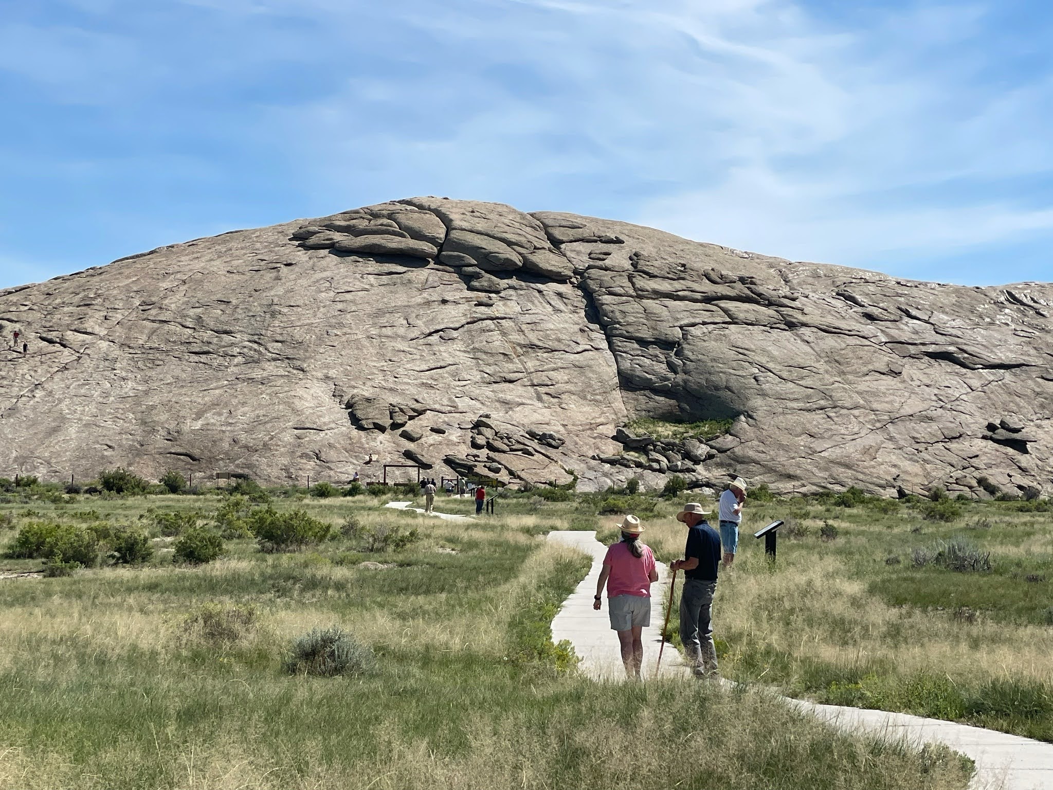
Our main stop for the day is Independence Rock. A big ol’ rock in the middle of the prairie… Of course we stopped to take a look…


The significance of the rock has many facets. First of all, walking 20 miles per day across the endless prairie was very monotonous. Anything unusual caught the emigrants’ attention. This big rock certainly is unusual. Also, the emigrants’ goal was always to reach Independence Rock by Independence Day – July 4. It was important for the emigrants to celebrate the 4th, and this area gave the emigrants space, water, and game to rest for a day or two. Importantly, Independence Rock is just about one half way between Independence, MO, where most of the emigrants set off to Oregon City, OR. Finally, many of the emigrants painted, scratched, or chiseled their names into the rock. Historians have been all over the rock to collect the various signatures and to correlate them with known emigrants and their diaries…
We walked around and onto the rock looking for names. No one we know… Most of the painted or scratched names have been worn away by the weather…

There is a grave here, fenced off…


“Look! Over there!”

We walked ALL AROUND the rock…


On the opposite side of the rock are various placques placed by various historic societies and donors. There have been several Boy Scouts of America “Camporees” here over the years, so BSA also has many placques…

After enjoying the rock we walked back to the entrance. We stopped to watch these birds in a mud nest under the eaves of the visitors center…


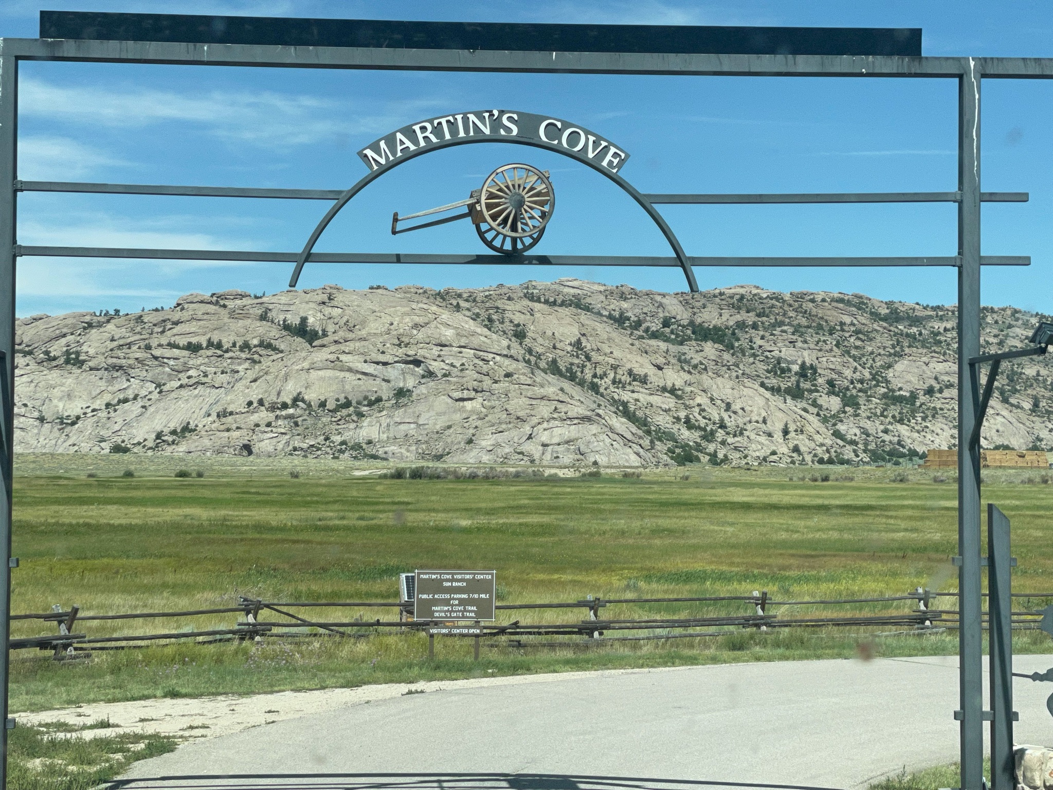
We returned to the Villa and drove about four miles down the road to Martin’s Cove. This is an historic site ownered and leased by the Mormon Church. The site commemorates the caravans of Mormons heading to the Great Salt Lake Valley. They could not afford covered wagons so they used hand carts to carry their worldly possessions. They endured many hardships, and up to as many as 25% of them died along the trails.

One feature of the site is the Devil’s Gate – a gap in the rock that allowed the wagons and handcarts through these mountains…

There is also a reproduction of an early fort that the Mormons used to protect themselves from the extreme cold. Portions of the fort were burned to keep the people warm…

And so we traveled on. Another landmark helping the emigrants find their way is the Split Rock. The trail turned here as it approaches the Rocky Mountains to the west. Split Rock pointed the travelers to the South Pass, the easiest way through the Rockies…

About 15 miles further we stopped to see… the back side of Split Rock…


And we are on the road. We caught up to a convoy of seven other Airstreams for our last leg into the town of Lander, WY…

More red rock bluffs…


And we are all in, connected, and paid for…


We had a little Happy Hours and enjoyed a light supper. An enjoyable time was had by all…


