Today is an adventure! We are driving over the Rocky Mountains. We are starting at Green River, UT, at 4,000′ elevation.
But first, here are the three oldest grandchildren, ready for school picture day: George X, almost 7, Ian, 8, and Roisin, 9…
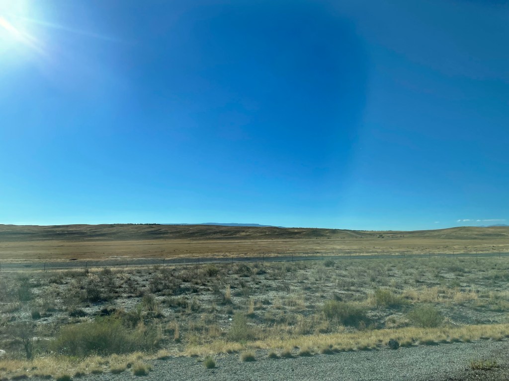
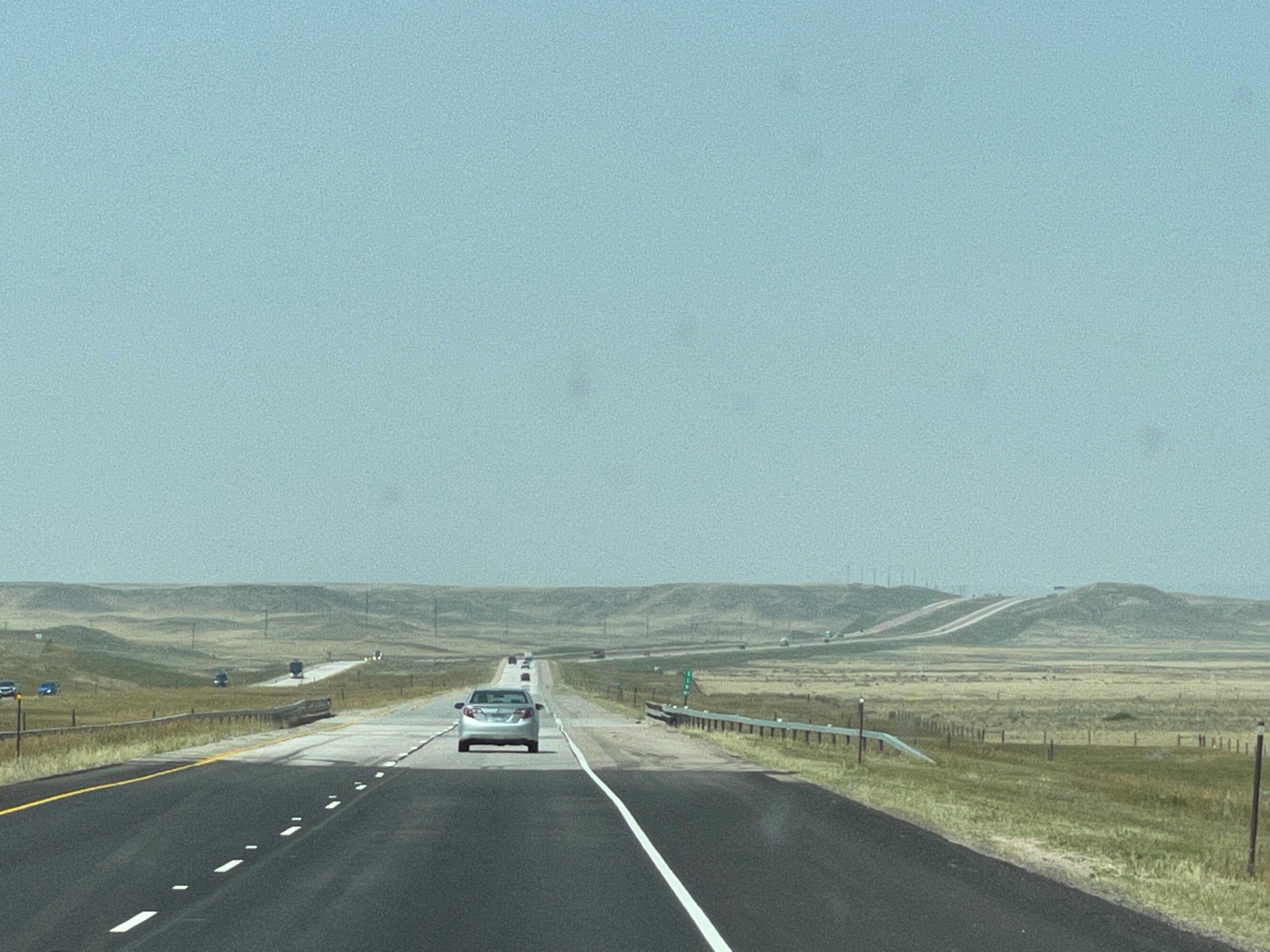
We are heading east on the 70… We are traveling across barren Eastern Utah, into Western Colorado.
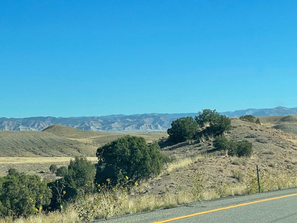
Once into western Colorado the terrain gets much more interesting…
We stopped at a little town called Rifle, CO, where we had a little lunch. We enjoyed walking the 100 year old downtown…
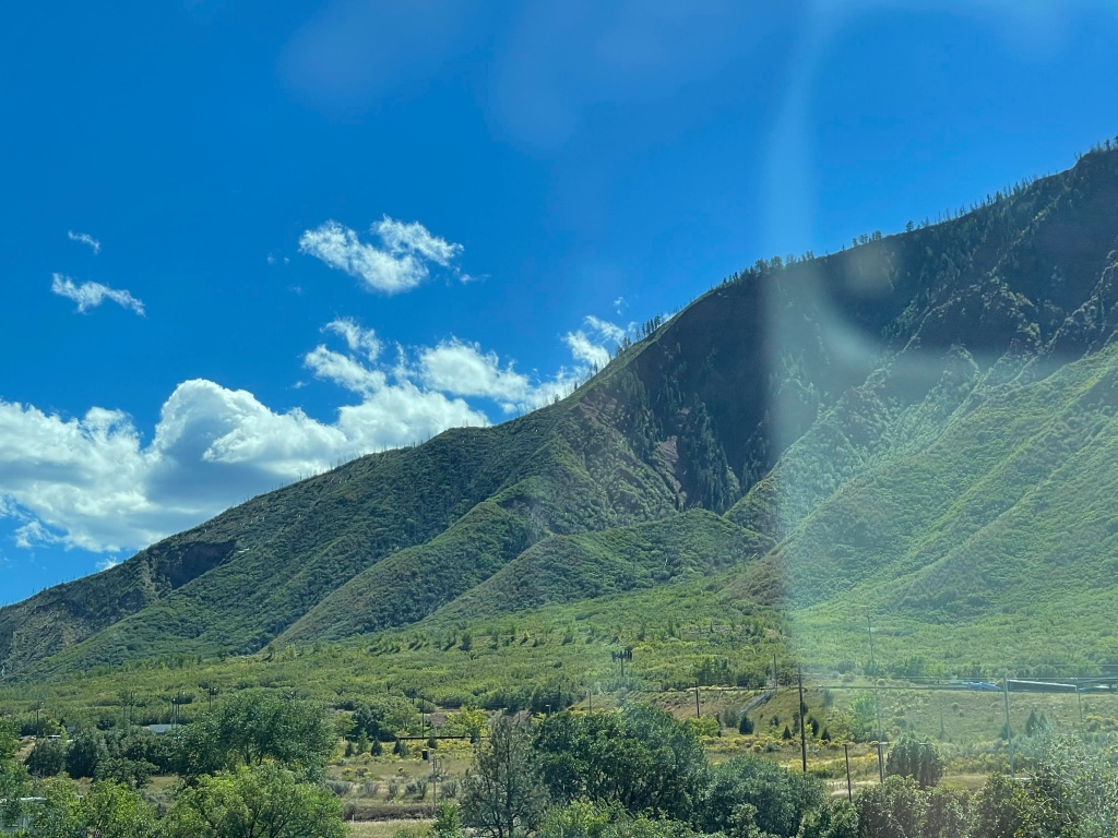
We continued on. The 70 winds along the Colorado River. We are slowly climbing, but not too rapidly.
The first of several tunnels we went through…
We crested the Vail Pass at 10,666′, then we dropped down to about 9,000′, then we climbed up again to the west entrance of the Eisenhower-Johnson Tunnel. The elevation here is 11,158. These tunnels are the highest tunnels in the USA.After exiting the tunnel we dropped down to about 7,000′; this is where we turned off for a short drive to the campground: 7 miles long, and another 1,500′ elevation rise.
Short stories today. I woke up Monday with a sore throat; Lynda has had a cold since Saturday. We stayed in all day…
We did manage to get outside and walk a bit around the RV park, but it is constantly hot and dusty and windy…
We were feeling well enough to get out about 4:00 and join the club at a very good steak house nearby. After a few Old Fashioneds at the bar, and an appetizer of steak tartare, we joined the others for prime rib and cheesecake…
We returned to the Villa and turned in early…
Tuesday we felt a bit better (or at least Lynda did…) We headed out at 10:00 am to see the National Historic Trails Interpretive Center in Casper…
It is located on a bluff adjacent to the Overland Trails – the trails used by the emigrants to Oregon, the 49ers going to California, and the Mormons going to the Great Salt Lake valley…
Before we had left the campground this morning our leaders asked that the ladies wear their Oregon Trail bonnets and dresses… As you might guess, we are non-participants in activities such as this…
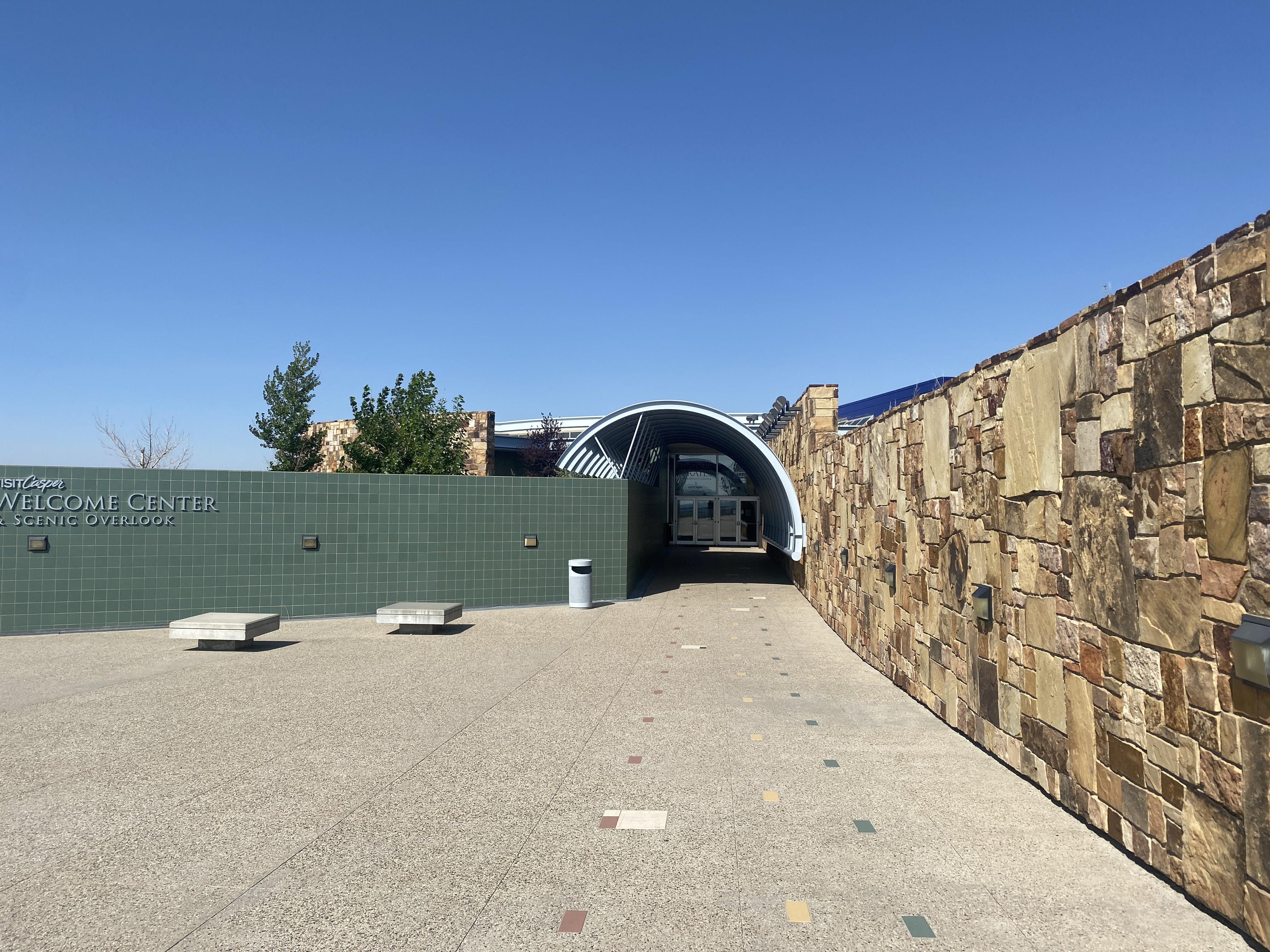
We walked toward the museum building…
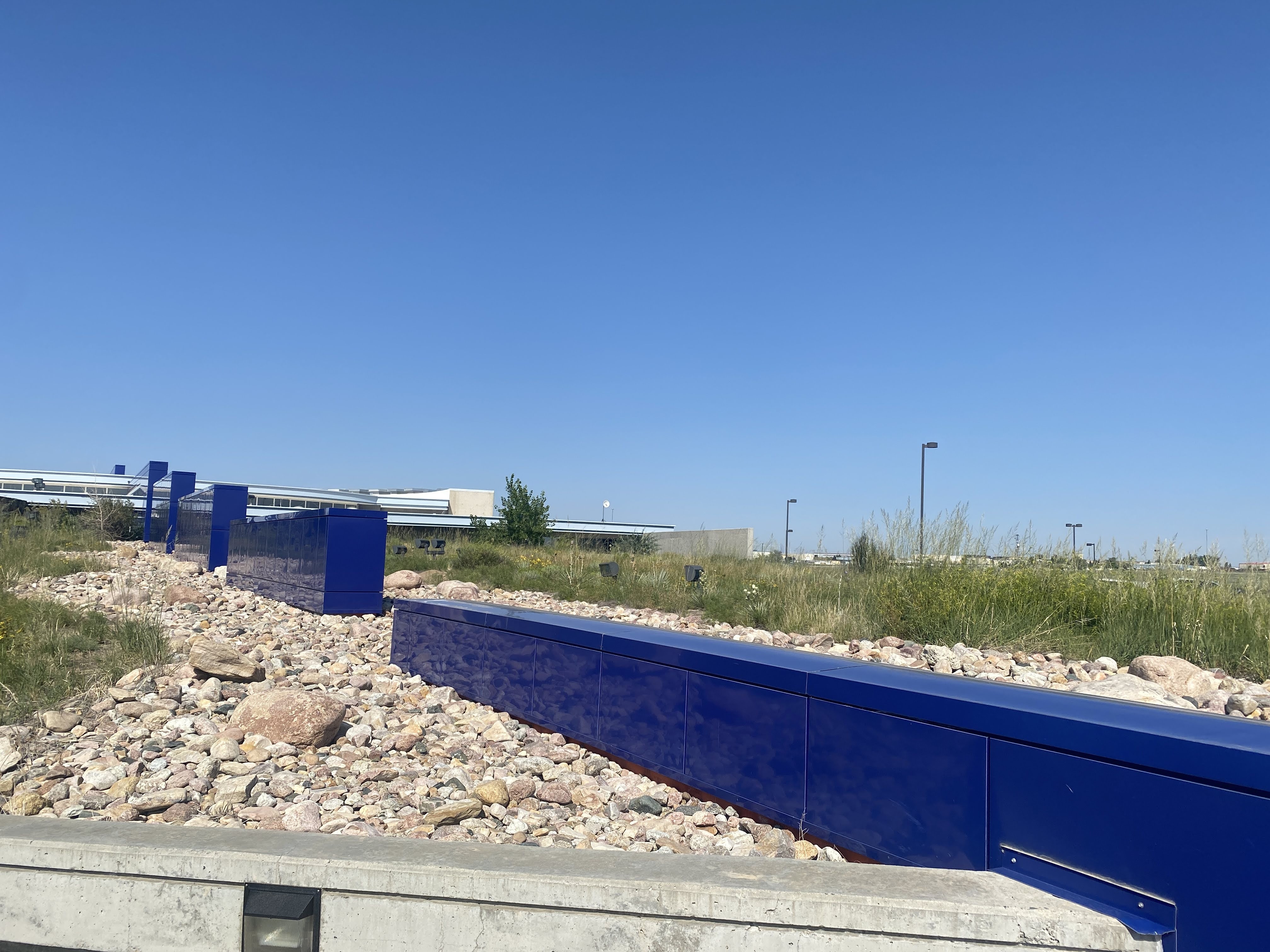
The building itself reflects a lot of imagery…
The blue wall segments represent the continuous westward trek by the pioneers and the emigrants, always up hill. Missouri is at about 2,000′ elevation, and the continental Divide is at roughly 7,000′ where the trails crossed it…
The stone wall is all native sandstone, and the green wall represents the sagebrush that was the emigrants constant companion on the prairie.
The arch portal, of course, represents the hoops and canvas of the covered wagons…
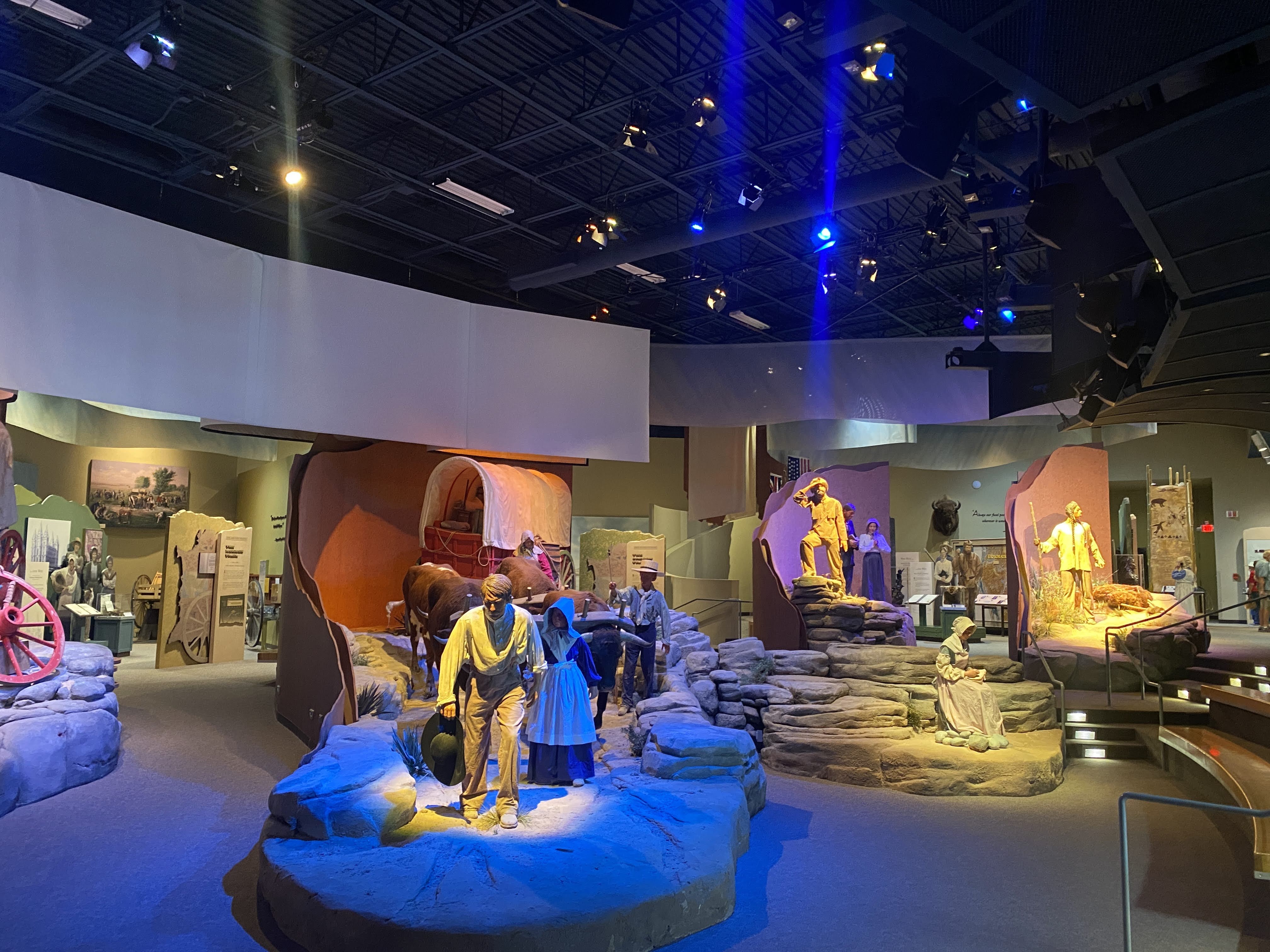
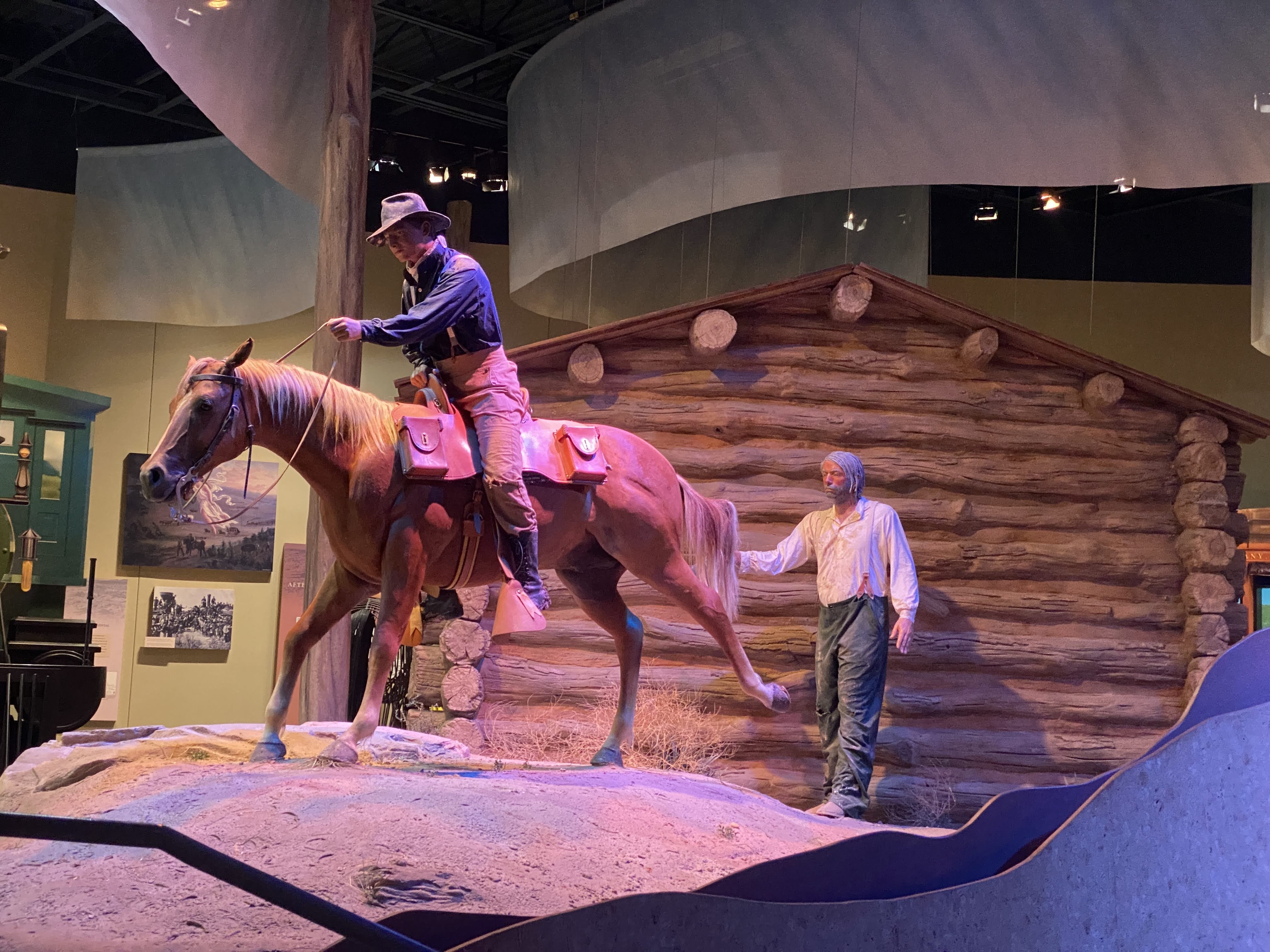
Inside we watch a short film about the emigrants. The lifesize displays added to the realism of the film…
Some of the Mormon emigrants could not afford oxen or mules, so they carried their possessions for 1,500 miles using handcarts. Lynda gave it a try!
One of the more interesting tidbits of the radical changes the emigrants brought to this region is in addition to all the other self-inflicted damage that I have reported on – loss of food and habitat for Indians, Pony Express ended by the transcontinental telegraph, wagon trains ended by the railroad, small towns ended by the Interstate Highways…
As the 350,000 emigrants passed through here on the trails small settlements sprang up to service the needs of the emigrants. When the trains ended the wagon travel, the rails took a different route again, this time to be more convenient to the coal deposits of southern Wyoming. These settlements slowly vanished…
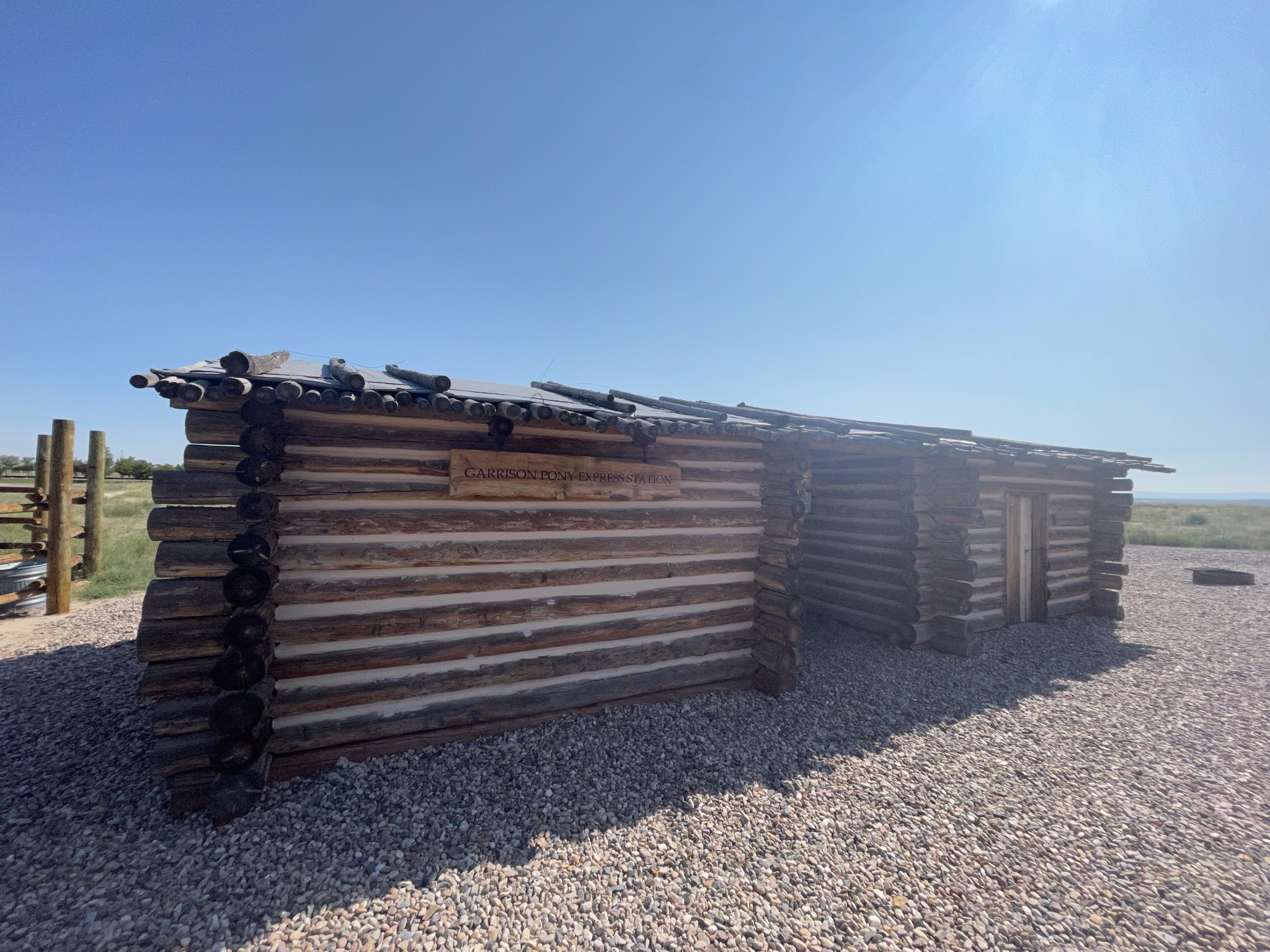
Outside the Museum is a reproduction of a typical Pony Express station. There is a small stable and a small office for the station master. The station master lived here alone; and he was alone – he was visited by only four Pony Express riders per week. Otherwise he was free to fend for himself. When the Pony Express ended, most of these stations were retrofitted to be relay stations for the telegraph… Adaptive Reuse!
We returned to the Villa. I took a nap… Then we had a modest Happy Hours. We walked around the RV park in the evening…
We are leaving Nebraska today, traveling to Casper, WY (actually Evansville…).
But before I talk about today, here is a picture of all of us at Scott’s Bluff yesterday…
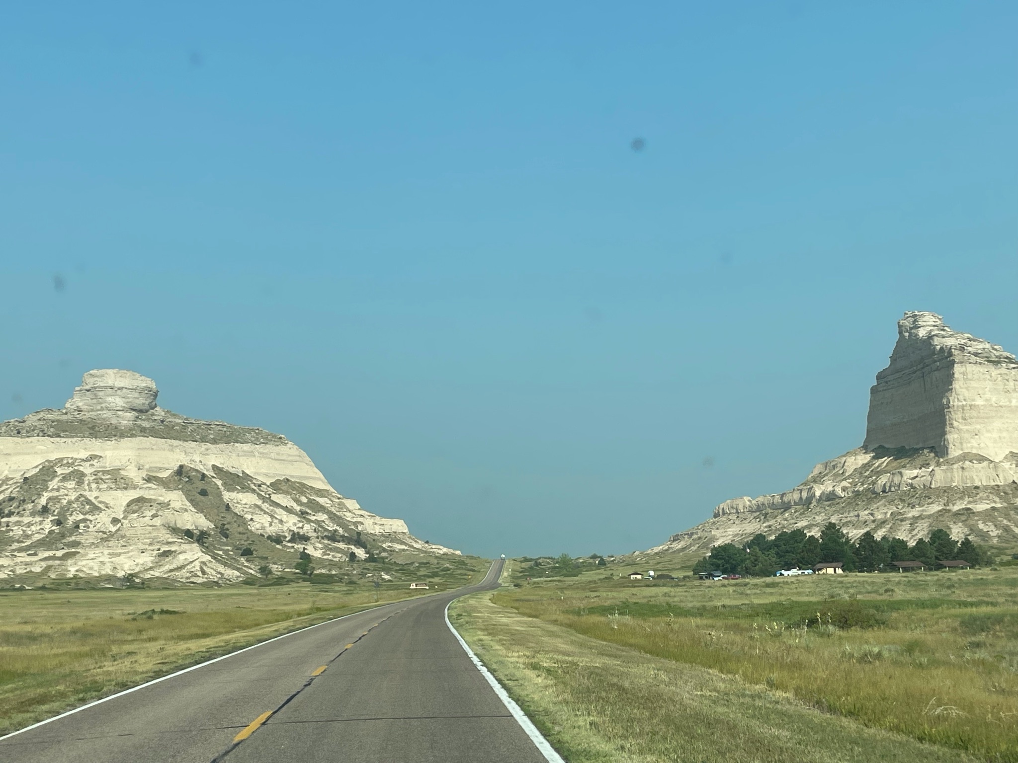
We drove through the Robidoux Pass, between the major cliffs at Scott’s Bluff. We will be following the the Oregon Trail for much of our trip today…
Beyond we see Nebraska countryside once again…
As we move west, closer to Wyoming, the terrain changes…
We entered Wyoming and found the town of Fort Laramie. Surprise! There is a fort here! As we headed for the fort we crossed over the North Platte River (for about the 8th time today…). Adjacent to the modern bridge we crossed is the old iron bridge built by the Army in the mid-1800s…
As we approached the fort we encountered three of our friends as they were leaving…
The visitors center had several well developed displays telling the history of the fort. It was originally a trading post, until the US Army bought it in 1849. By 1849, as California-bound 49ers joined the Oregon Trail emigrants the trickle of wagons across the plains had become a flood. The fort provided protection in addition to becoming a major supply post, the first since Fort Kearney, 600 miles to the east…
As the emigrants passed through the area they brought destruction… Annually, 10,000 wagons, 50,000 people, and 75,000 head of animals passed through here. The people and cattle killed and/or chased away the game, depriving the Indians of their food supply. Livestock trampled the grass across a two mile wide swath of land. The wagon wheels scarred the land; these scars are still visible over 150 years later. (As we will see at our next stop…)
Peace with the Indians was spotty at best. Treaties were made, treaties were broken. The Platte River Ferry incident and the Grattan Fight brought peace to an end. For 25 years the Northern Plains Indian Wars raged. By 1860, as the emigrant traffic slowed (with the introduction of stagecoach travel, and then train travel) the fort transformed from a rest stop for emigrants into a base of military operations against the Northern Plains tribes…
Through the 1860s the fort stood as a vital link between the east and west. 500,000 people now lived west of the Rocky Mountains. In 1860 the Pony Express came through, followed by the transcontinental telegraph. When the Civil War began, troops were withdrawn from the fort. The small crews left behind had to scramble with maintaining the hundreds of miles of telegraph lines. As the Indian wars rages, Indians attacked the fort, telegraph lines, stagecoach travel, and the wagon trains. The Fort Laramie Treaties of 1868 held the promise of peace on the plains. It was short lived…
The beginning of the end was Col. Custer and his defeat by Sitting Bull at Little Bighorn in 1876. This so enraged the army (and the federal government) that they set out on a mission of retaliation. This culminated at Wounded Knee in 1890, with the slaughter of between 150-300 Lakota Indians by the US Army. It ended any organized resistance by the Indians to living on reservations.
Fort Laramie in the 1880s was a “golden era”, as a false sense of of permanence prevailed. New buildings were built, old buildings were improved, and an active scene prevailed among the officers and the local citizens. In the mid 1880 a railroad nearby brought all the amenities of Victorian life to the fort.
In 1886 a new, larger railhead was built at the adjacent Fort Robinson. It made Fort Laramie superfluous. In 1889, the fort was closed and abandoned. In 1890, the land and buildings were sold at a public auction. Also in 1890, Wyoming was declared a state and the Indians were all on reservations. In 1890, the Superintendent of the Census declared that the American frontier had ceased to exist.
In 1937 a group of local residents of the town of Fort Laramie finally prevailed on the state of Wyoming to purchase 214 acres of old fort property, and preservation and restoration of the fort was begun.
I’m not a fan of forts and old buildings like this. We saw the fort, we learned the history, and we traveled on… It was a god thing that we were leaving now… In a few minutes the parking lot looked like this:
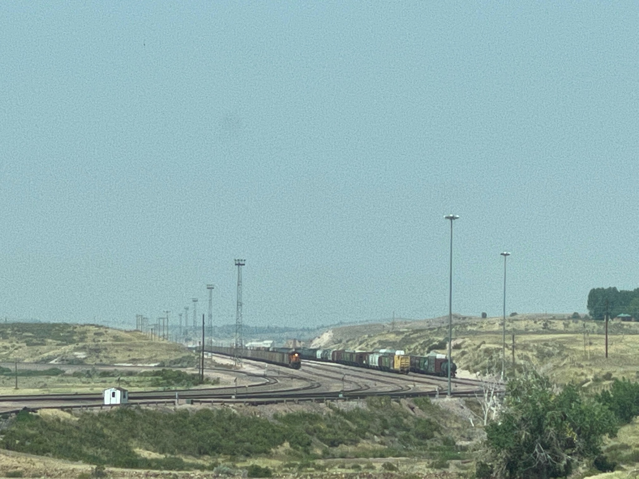
So we hurried on… About ten miles down the road we came to the town of Guernsey, with its giant rail yard. All these train cars are filled with coal, heading into Nebraska to fuel the 15 giant power plants there…
We crossed the North Platte River, again…
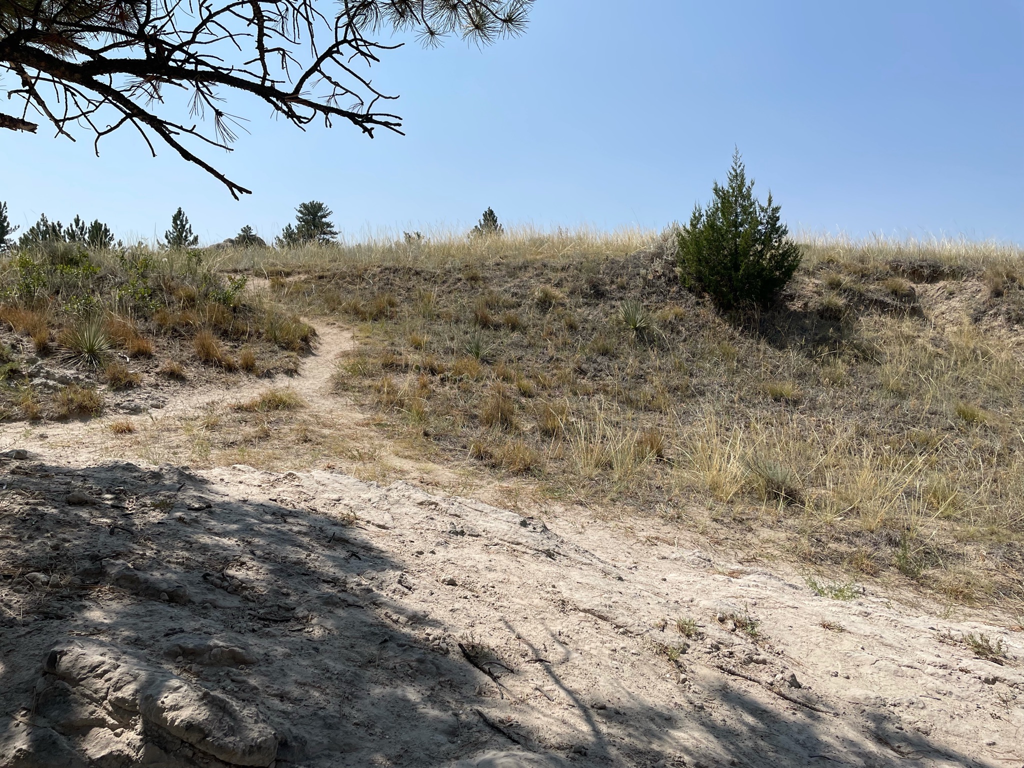
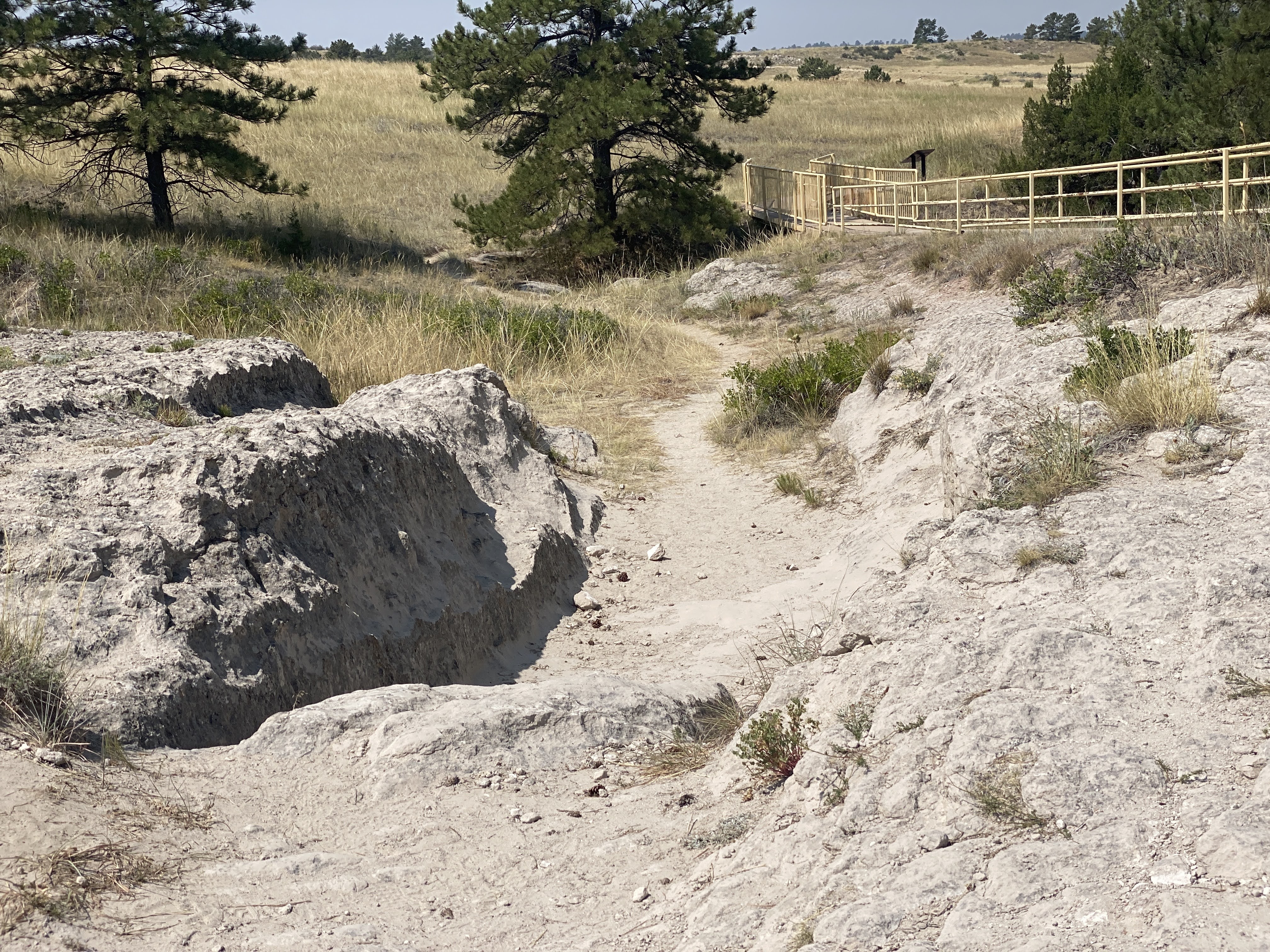
We found the ruts we are looking for…
These runts, worn into the sandstone, are impressive…
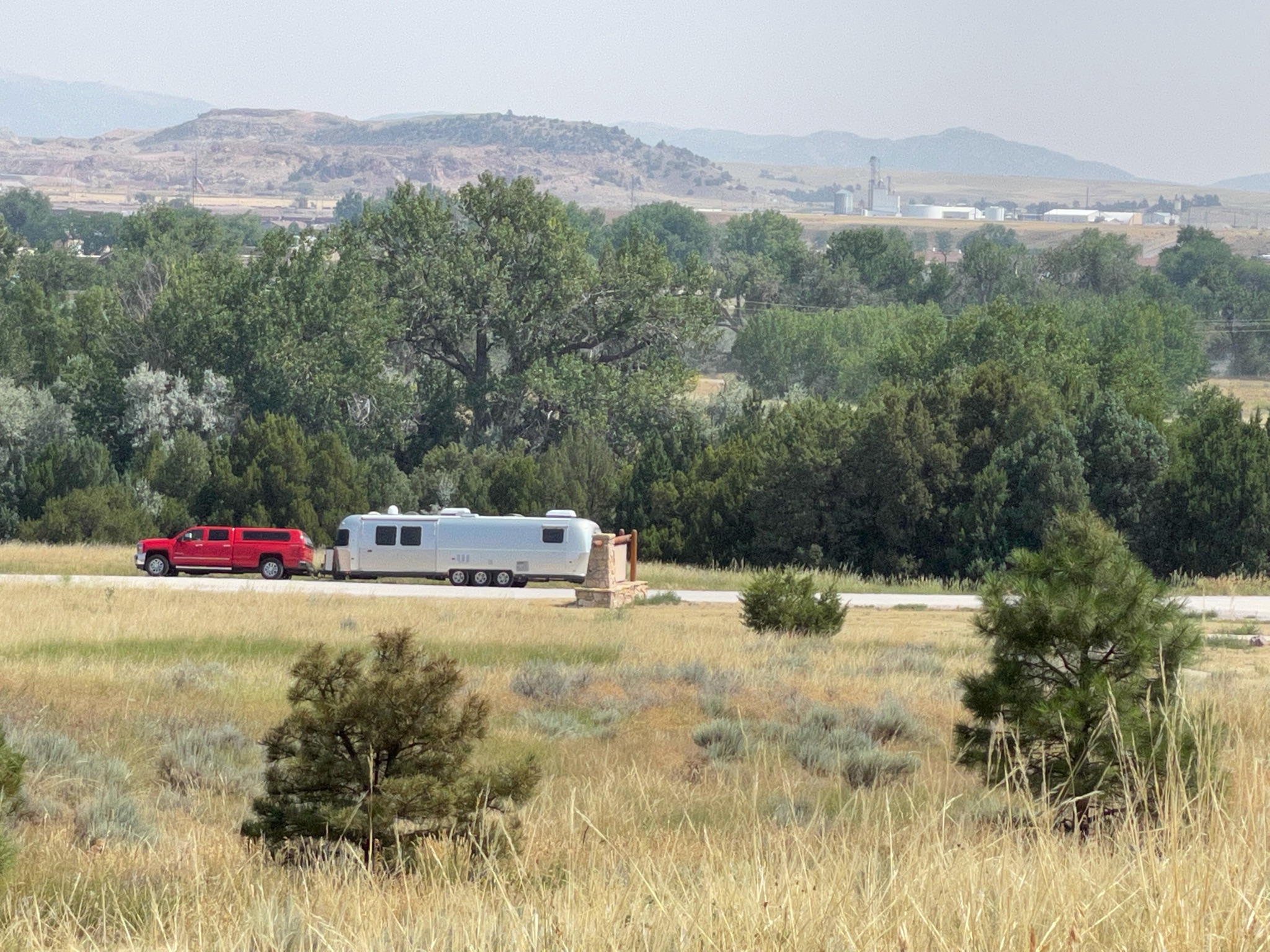
As we returned from the ruts and trails we found the Villa in the distance…
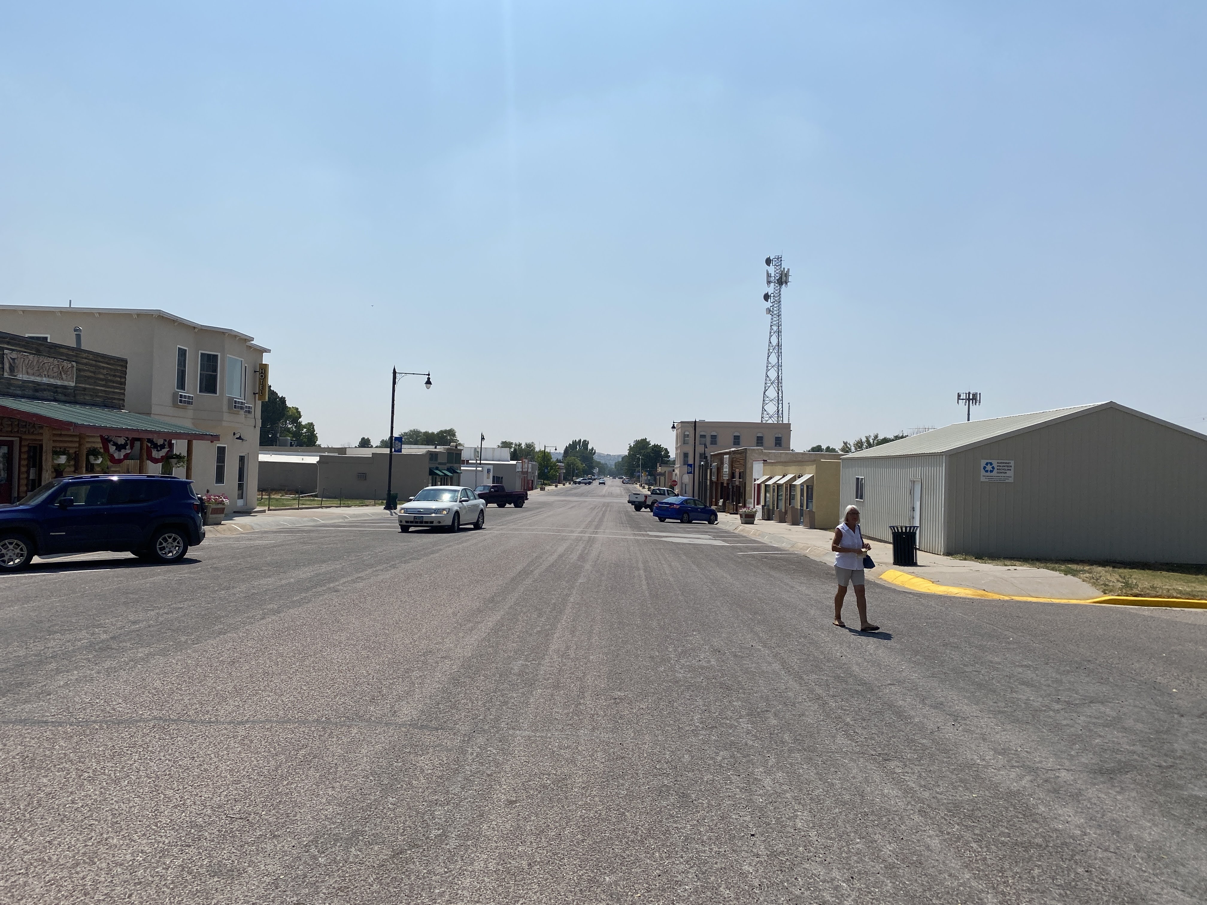
We drove the short distance back to the town of Guernsey. We stopped at the Twisted Eatery for lunch…
Nothing fancy here. No avant garde food. Just well made, simple food. We enjoyed our sandwiches! And we traveled on…
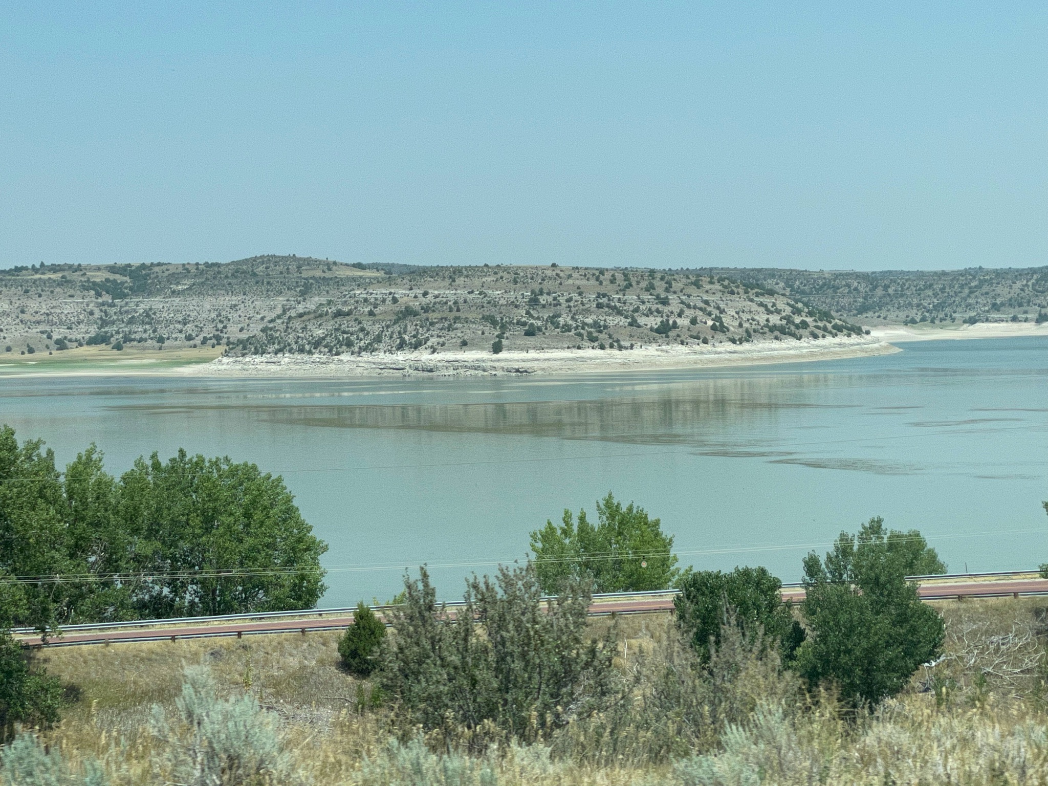
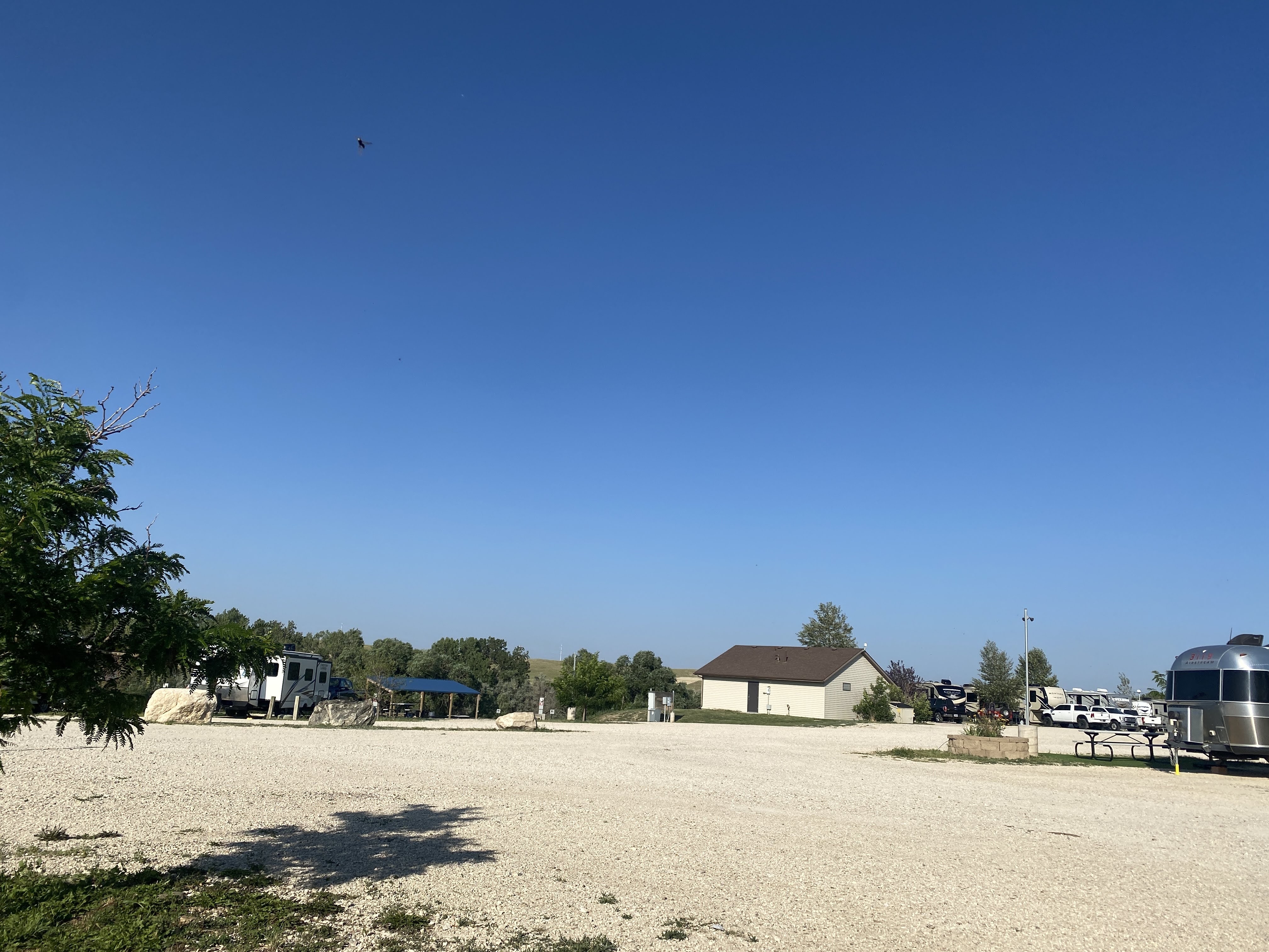
We arrived at our campsite in Evansville, adjacent to Casper… Lots of gravel, and a small patch of plastic grass at each site…
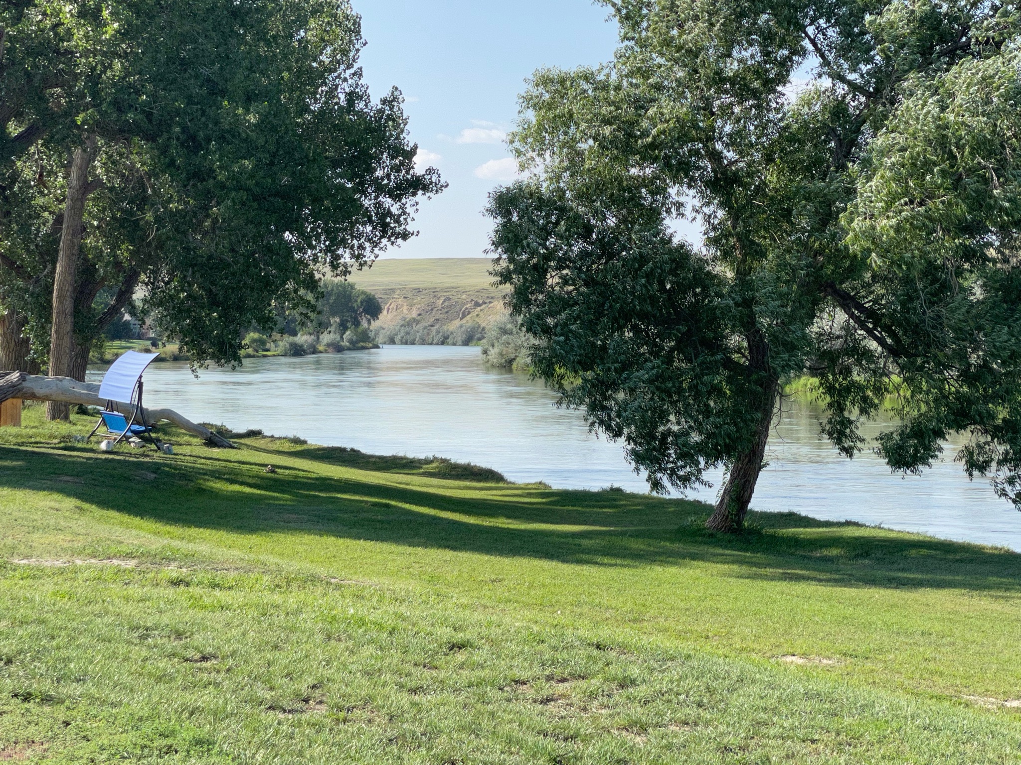
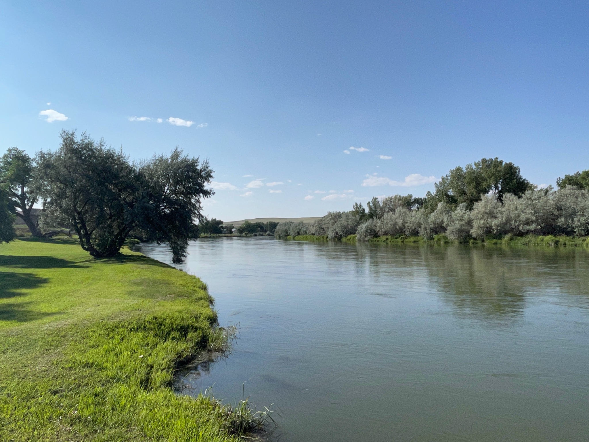
Happy hours were enjoyed. It is hot and windy this afternoon and evening. We enjoyed our view of the North Platt River…
We set out today to see the sights in Kearney, NE.
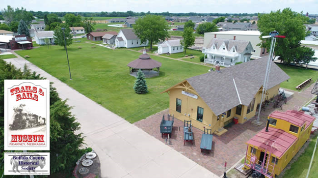
Our first stop was the Trails and Rails Museum. We had a personal tour by a volunteer docent…
We saw a number of buildings that had been built in the 1880s and thereabouts… They show a nice representation of life in rural Nebraska at that time…
This first house was a lovely place, with Living and Dining Rooms, plus a “kitchen” (no running water…) downstairs; Upstairs were three bedrooms. This house is considered slightly unique in that it has closets. Few houses of this era do…
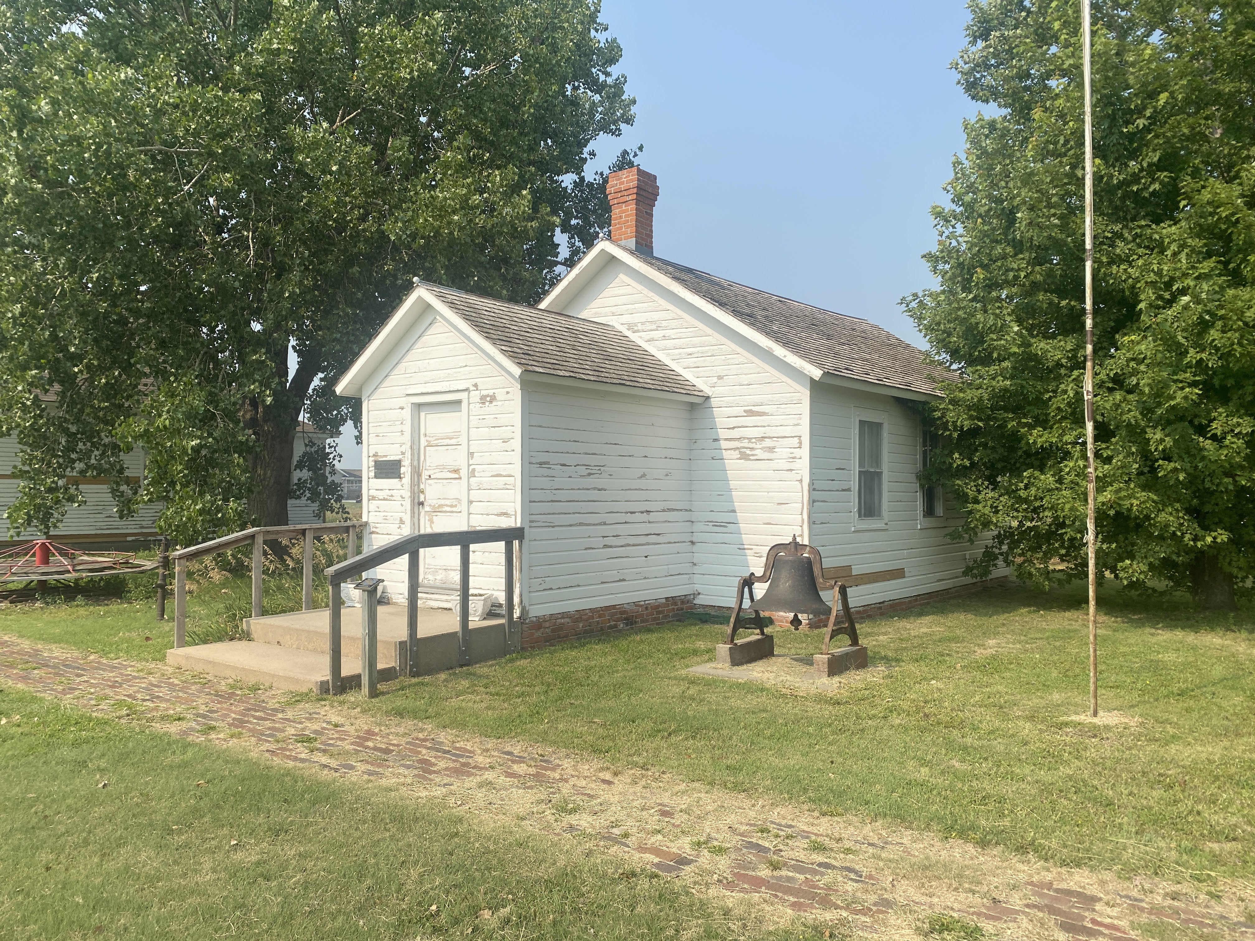
This is the school house, typical of the many rural schools of the day. Up to six or eight grades were all together in one classroom…
Desks here are typical in the 1880s…
As a personal note, while I did not attend school until the 1950s, I did attend a two room school with six grades, and we had these exact same desks… (We also had world maps that still had Prussia on them. But enough about the poor conditions in my childhood school…)
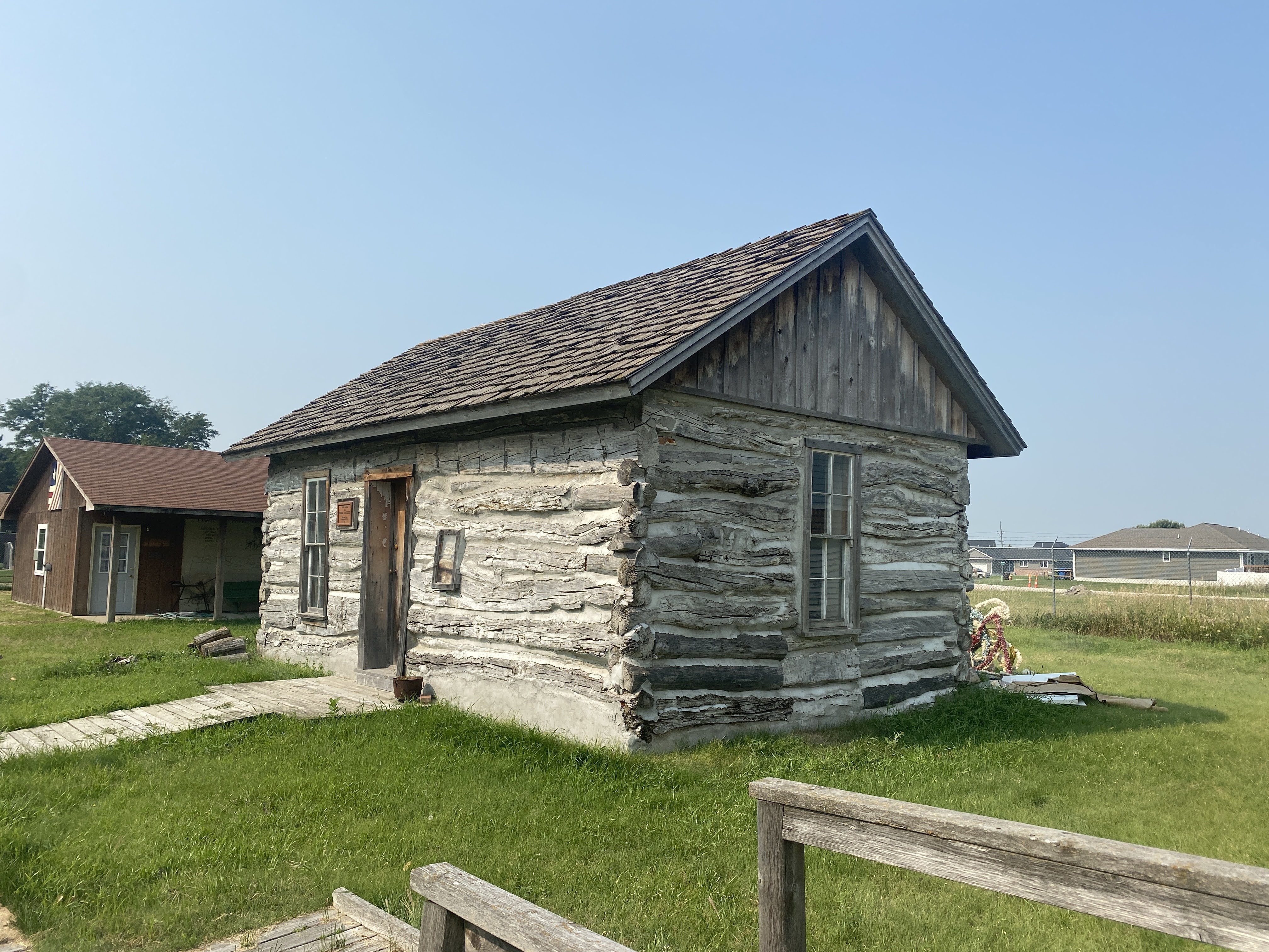
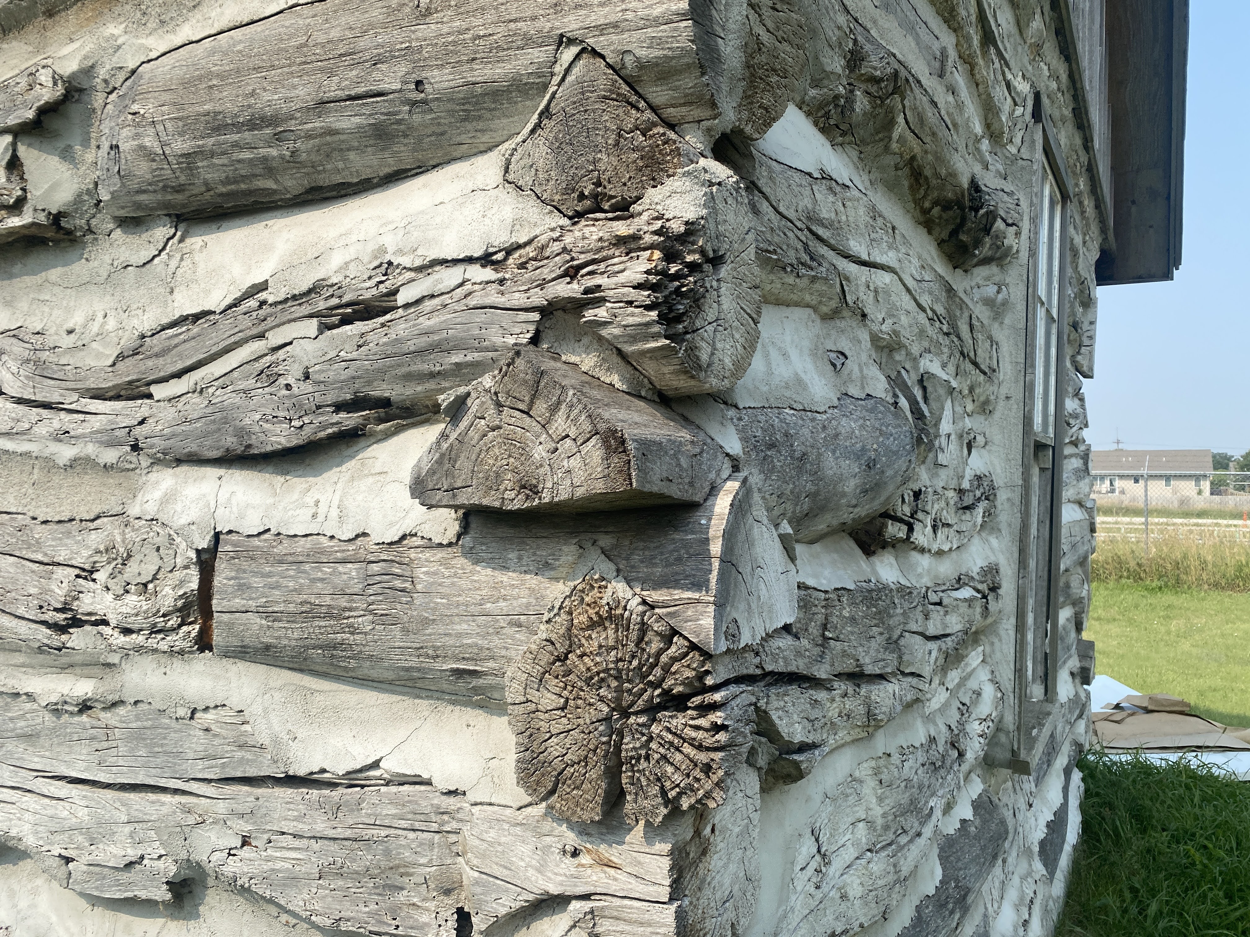
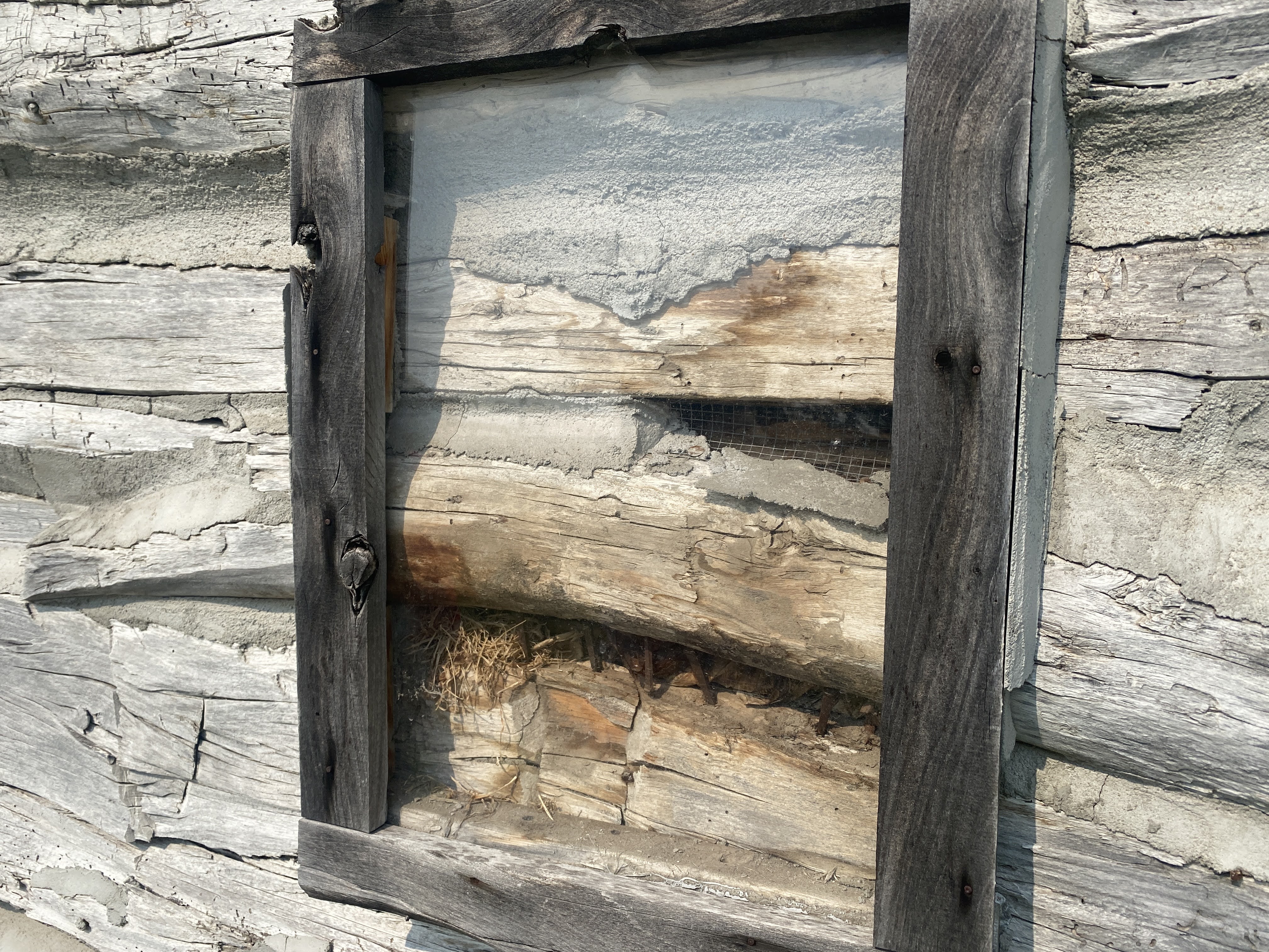
The museum had a log cabin. It has been restored, but you can still see what it looked like when it was moved here…
Here is another simpler house. Note the chimneys. There are no fireplaces in this house. Some of the rooms would have had a heating stove, maybe using wood or coal as a fuel, but more likely they were burning corn cobs. The flue from these stoves would then be connected to these chimneys…
There were also a barn and a blacksmith shop. These were modern buildings, but they were filled with ancient farm implements…
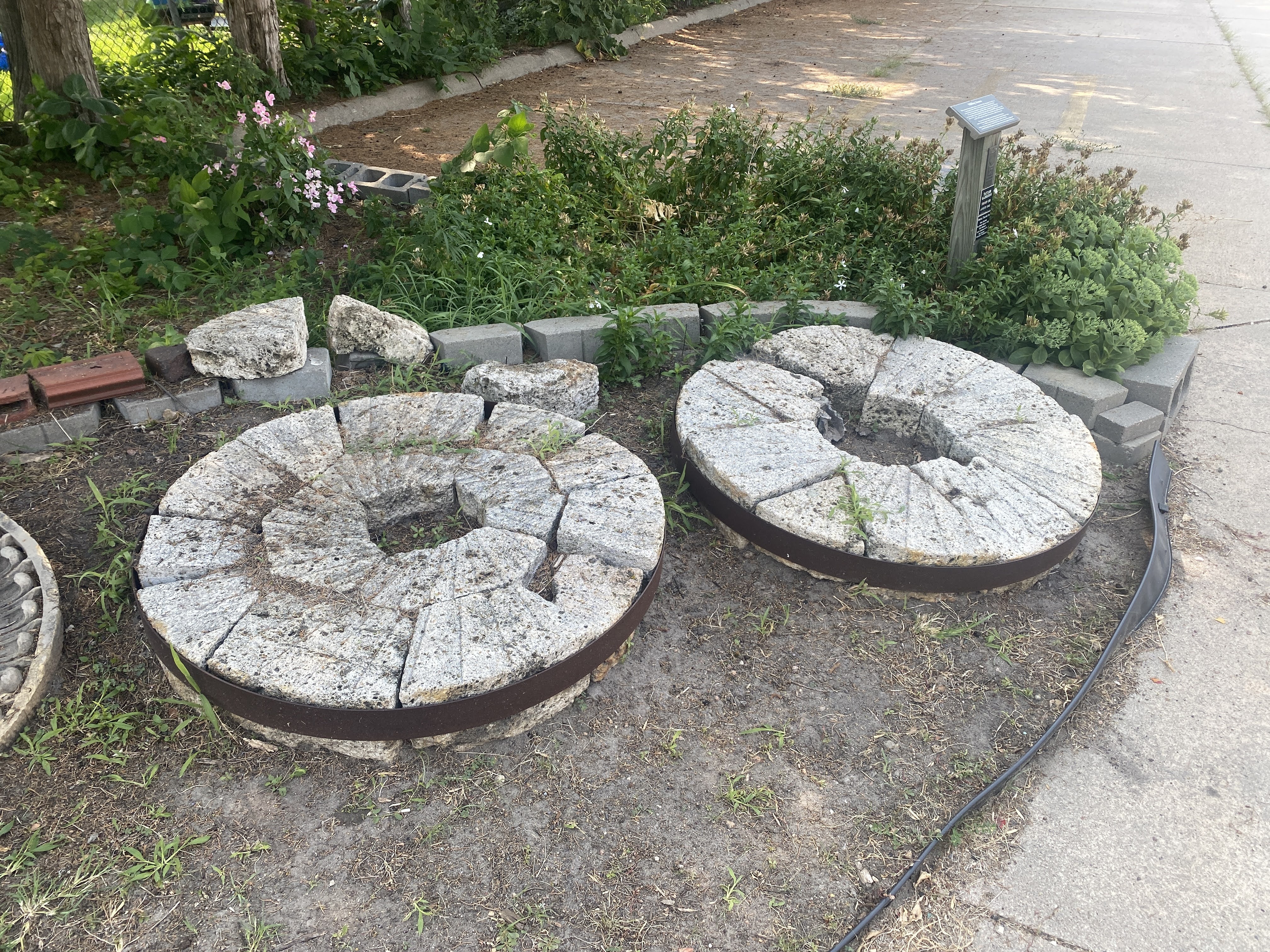
These are mill stones…
The train Depot and the train are always fun…
Note that the nearby town of Shelton is at elevation of 2019′. While the land looks flat here, in reality we are on the eastern slope of the Rocky Mountains. All the land in the Midwest slopes gradually up to the west. No wonder the pioneer on the Oregon Trail had such a hard walk… it’s all up hill! I contrast this with people in Georgia or Pennsylvania who live in the “mountains” at an elevation of 2,000’…
The depot had a very complete Station Master’s office, showing the files, ticket machines, telegraph apparatus, and the ability to change this tall signal from within the office…
Cabooses are always fun… This is where the crew lived and worked. The cupola was where they would sit and watch over the tops of the cars to make sure everything was OK…
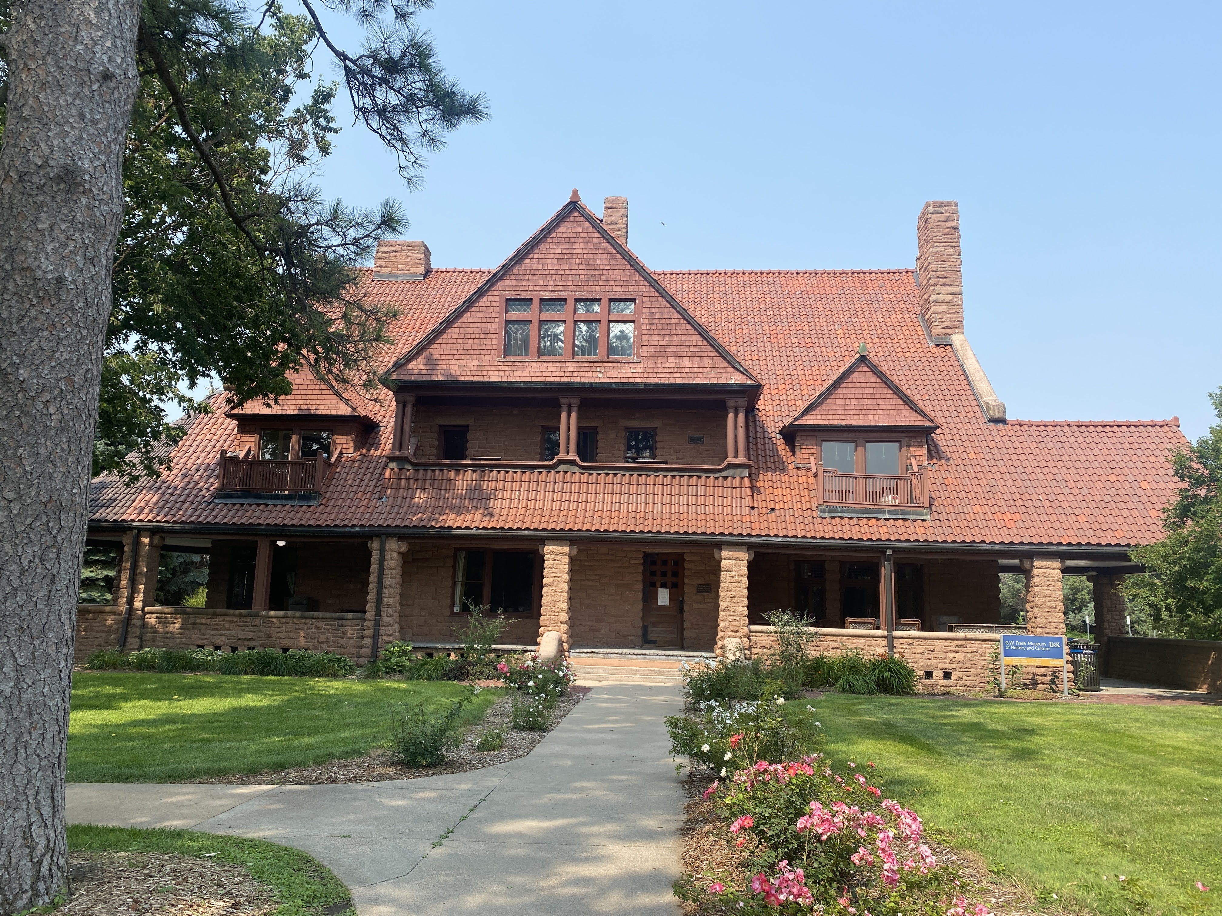
After the Trails and Rails Museum we drove to the campus of UNK, the University of Nebraska at Kearney. We stopped in to see the G.W. Frank Museum of Culture and History. Located in a beautiful Richardsonian Romanesque mansion, the Frank Museum is part house museum, part history museum, part cultural center. Built in 1890, the opulent home of capitalists George and Phoebe Frank was among the first electrified houses in the American West. Its unique story as a once modern, stylish residence, turned rental property, sanitarium, and tuberculosis hospital, offers a window into Kearney’s past – its early rise and fall, and its rebirth as a center for health and education. Exhibits, tours, and programs explore the history and culture of central Nebraska, from the Gilded Age to the present.
Unfortunately, the House was closed… We peeked through the windows where we could. We were disappointed!
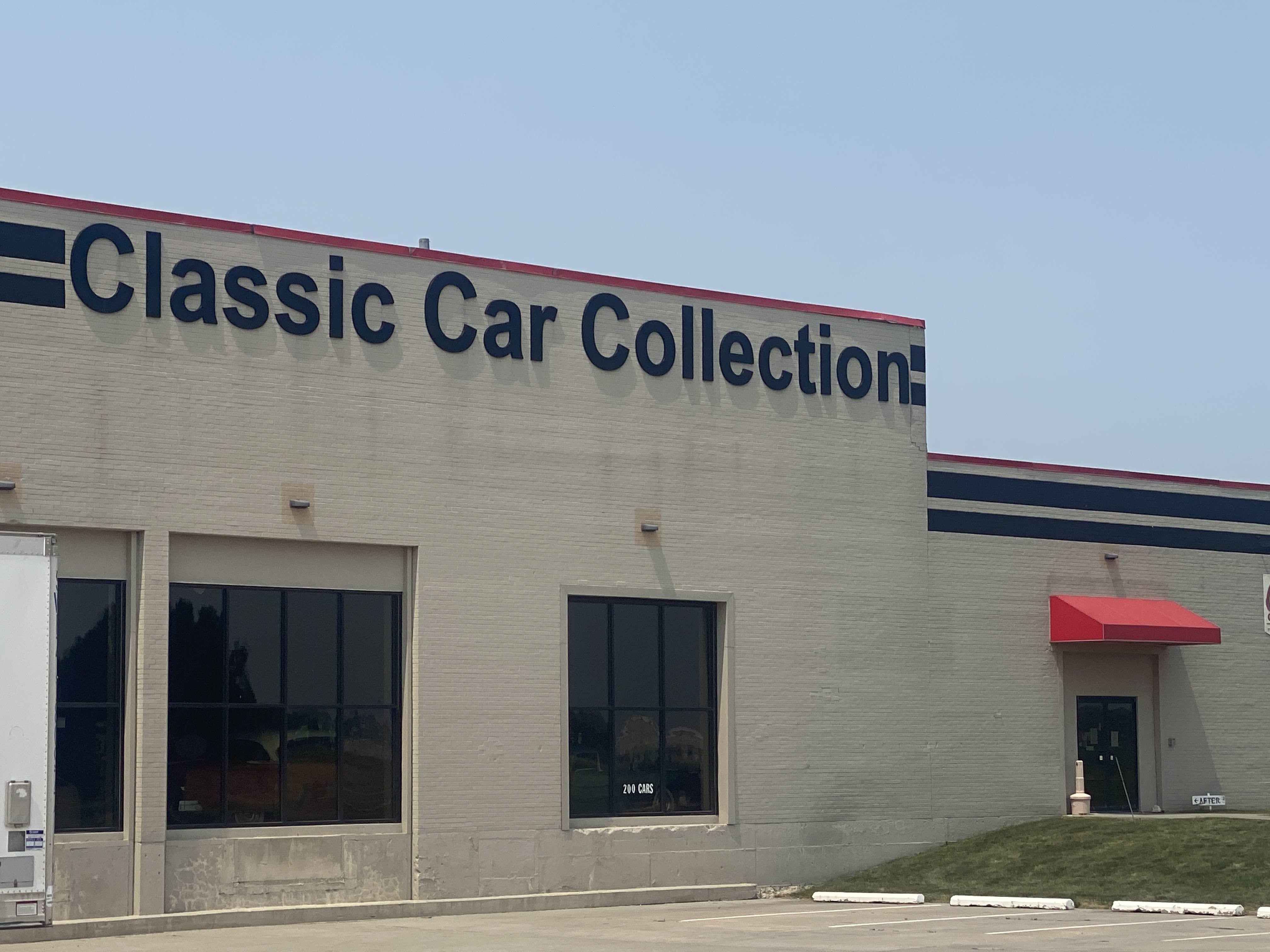
But we had other options… We drove over to the Classic Car Collection. Unfortunately, it was closed.
We only were able to see the “before” exhibit!
Next door to the car museum is a Cabella’s store…
We walked through their aisles. But we didn’t need any guns, mineral licks, or fishing gear. Lynda did buy a light windbreaker jacket, so the visit wasn’t a total waste…
We returned to the Villa. We had another GAM and we met more new friends. The smoke from fires in Canada did provide a remarkable sunrise…
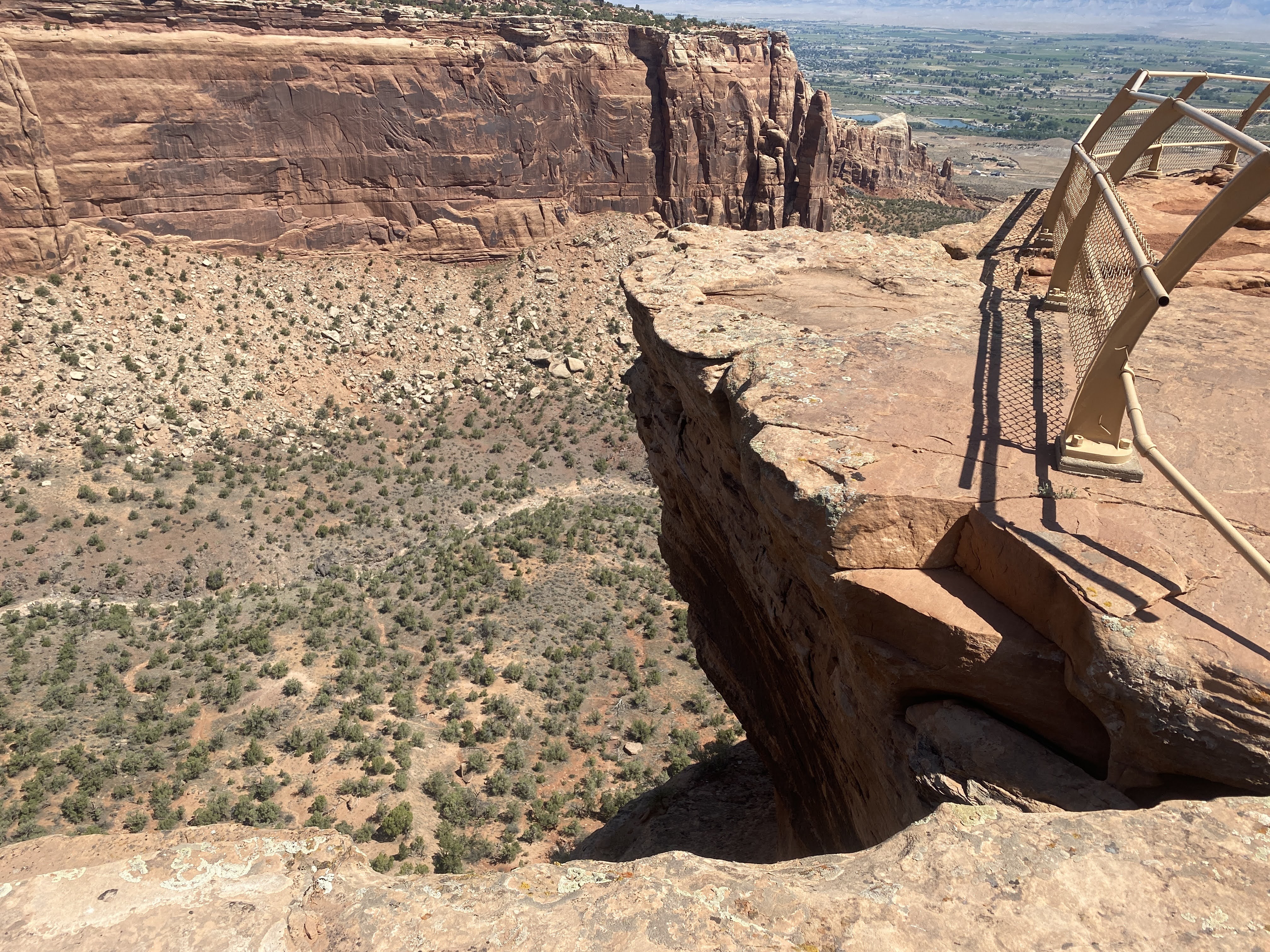
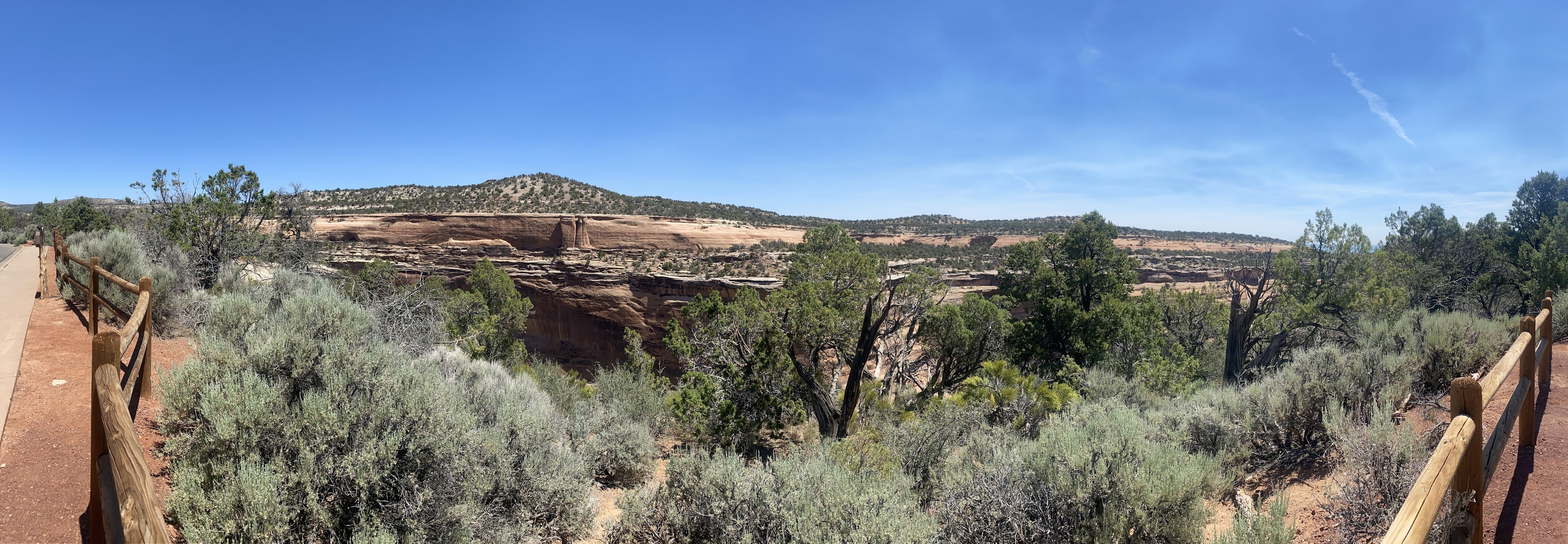
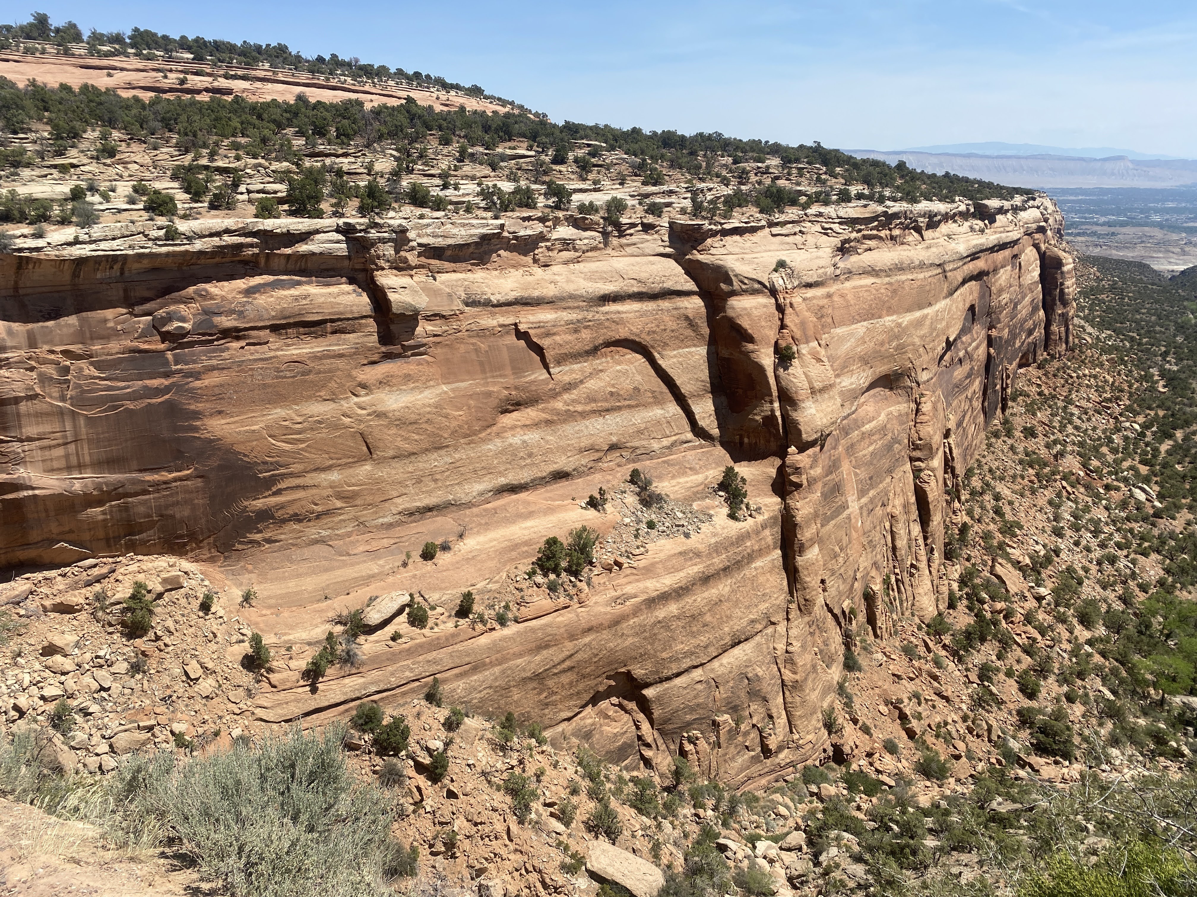
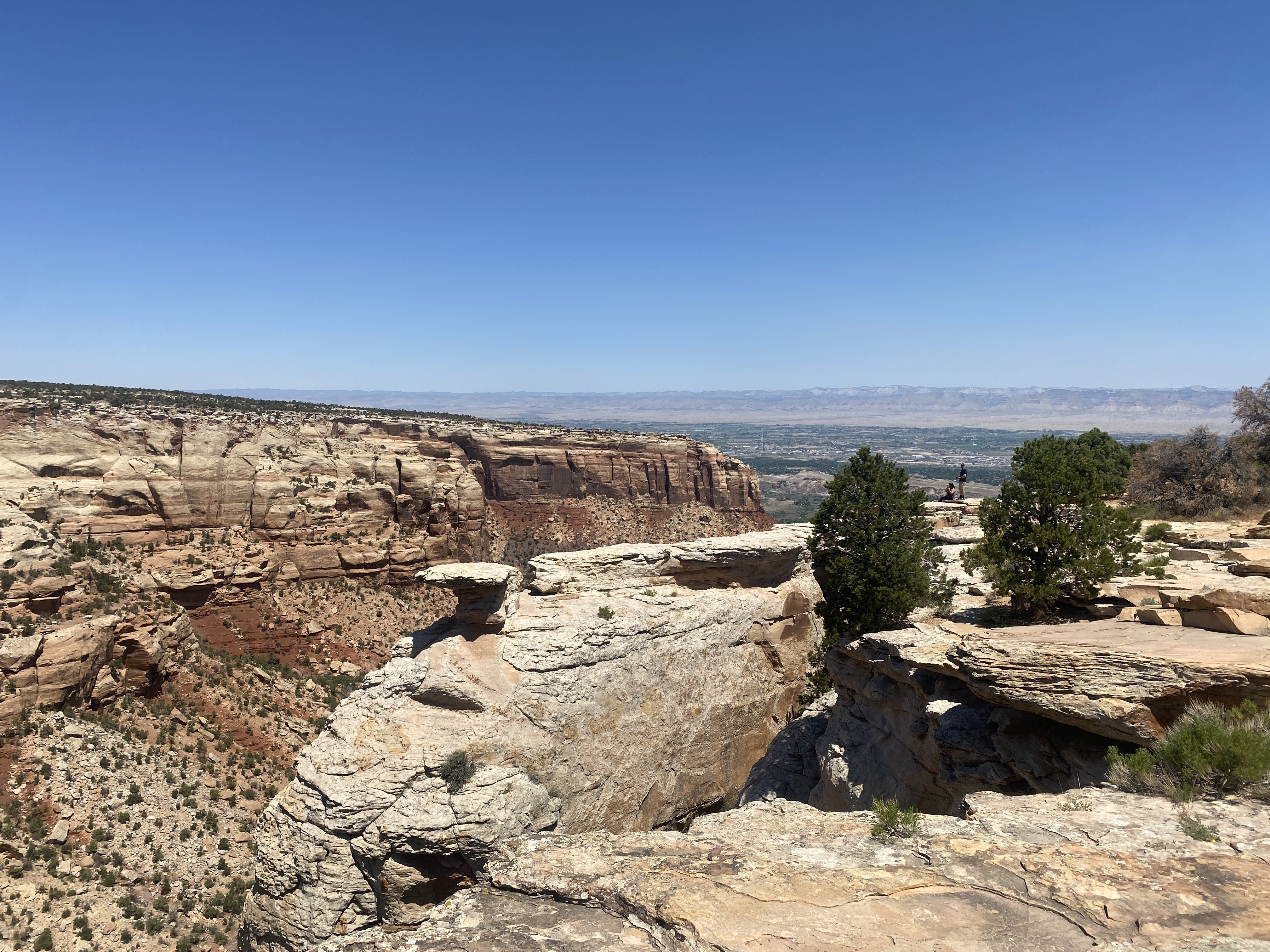
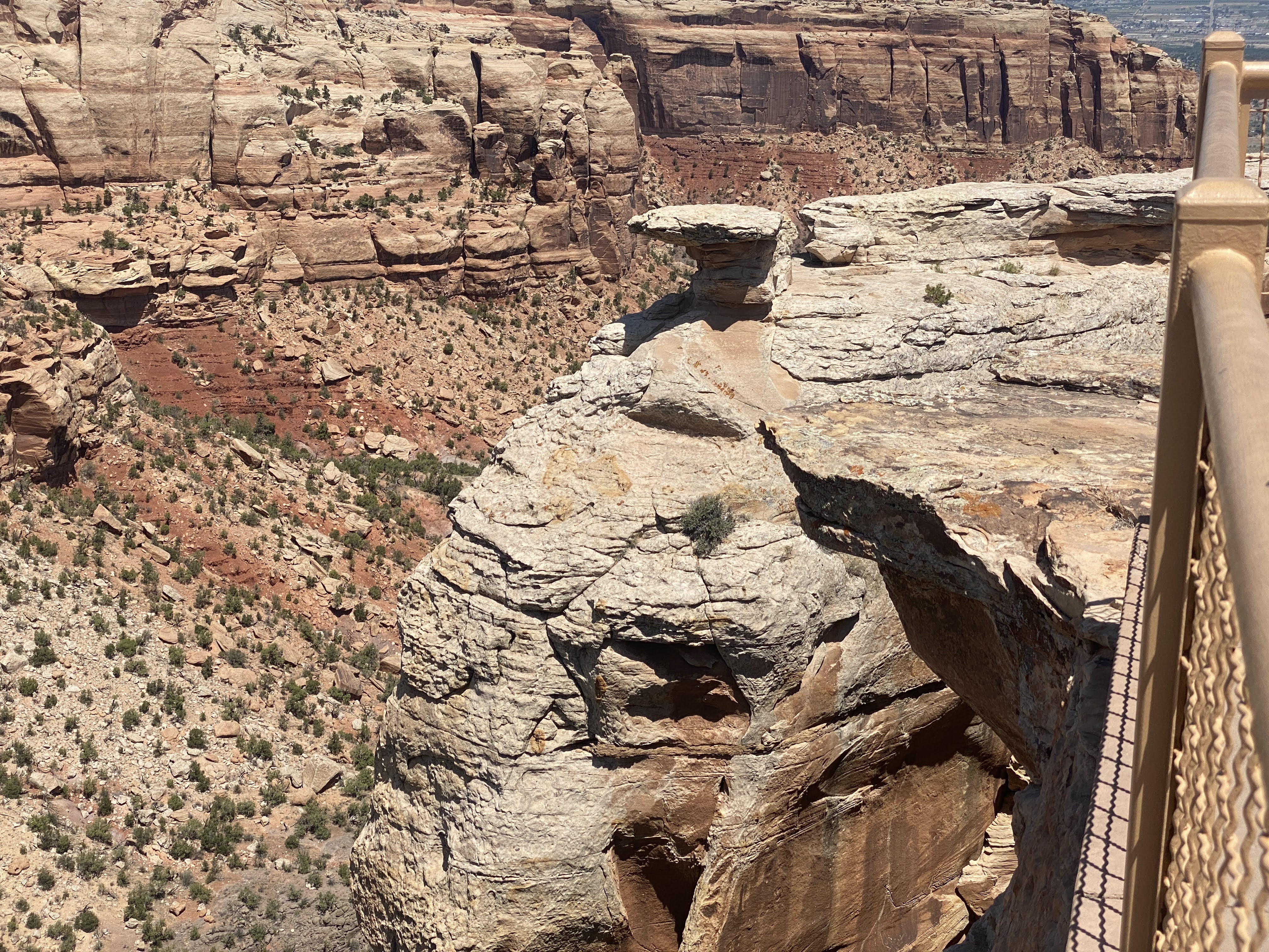
Today we return to the Colorado National Monument to see more of its beauty…
On our way to the entrance we crossed the mighty Colorado River…
The Colorado River is the major river of the southwestern United States and northwest Mexico. Its headwaters are in Rocky Mountain National Park where La Poudre Pass Lake is its source. It flows southwest through the Colorado Plateau country of western Colorado, southeastern Utah and northwestern Arizona, where it flows through the Grand Canyon. It turns south near Las Vegas, Nevada, forming the Arizona–Nevada border in Lake Mead and the Arizona–California border a few miles below Davis Dam between Laughlin, Nevada and Needles, California, before entering Mexico in the Colorado Desert. Most of its waters are diverted into the Imperial Valley of Southern California. In Mexico its course forms the boundary between Sonora and Baja California before entering the Gulf of California.
We re-entered the Colorado National Monument.
On August 25, 1916, President Woodrow Wilson signed the “Organic Act” creating the National Park Service, a federal bureau in the Department of the Interior responsible for maintaining national parks and monuments that were then managed by the department. The National Park System has since expanded to 423 units (often referred to as parks), more than 150 related areas, and numerous programs that assist in conserving the nation’s natural and cultural heritage for the benefit of current and future generations.
The National Park Service manages all of the various “units” – Parks, Forests, Monuments, Historic Sites, Lakeshores, Recreation Areas, Scenic Trails, and several other designations. The first parks were Yellowstone (1872), Sequoia (1890), Yosemite (1890), Mt. Rainier (1899), Crater Lake (1902), Wind Cave (1903), Mesa Verde (1906), Glacier (1910), Rocky Mountain (1915). Colorado National Monument was established in 1911. The different desinations have to do with how they are created. National Parks are created by acts of Congress. National Monuments and most other designations are created by the President via Executive Order. Thirty States have National Parks; the States with the most parks are: California (9), Alaska (8), Utah (5), and Colorado (4).
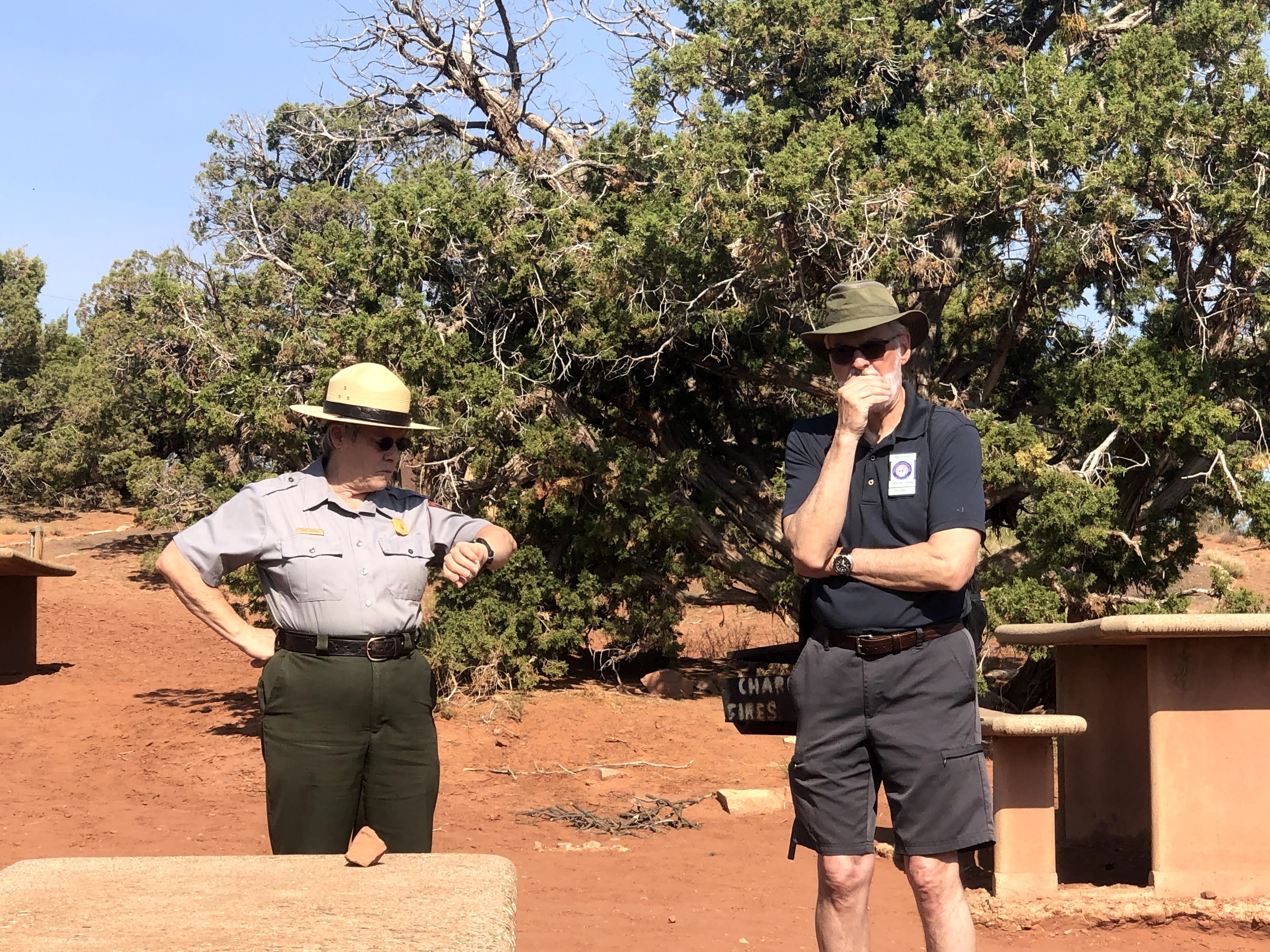
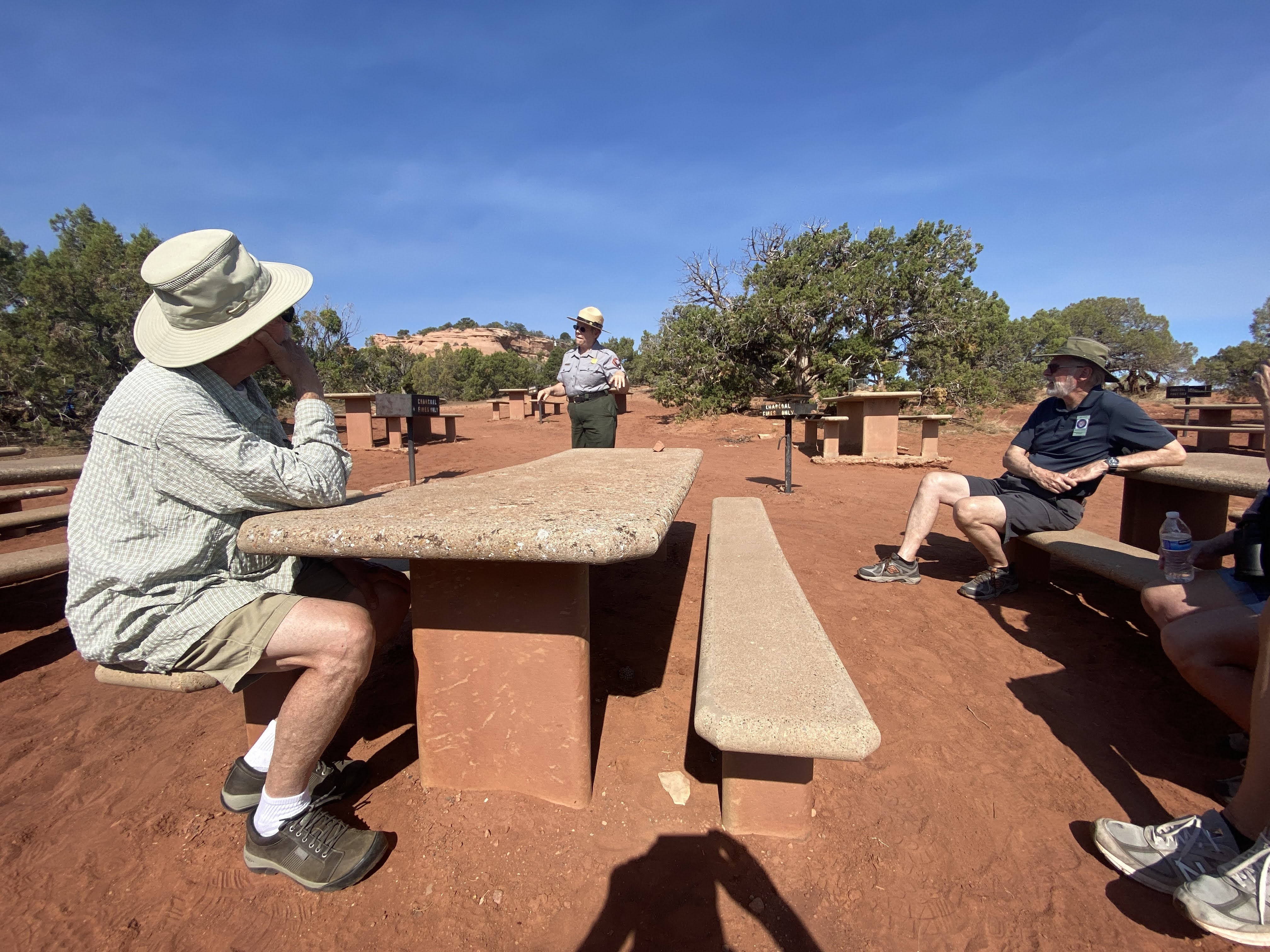
We began our visit with a ranger talk in the picnic area where we had had dinner last night…
We learned about the geology of these magnificent cliffs and canyons, plus a little of the park history. The man behind the creation of the Colorado National Monument was John Otto, who settled in Grand Junction in the early 20th century. Otto was the first white man to explore the area.
Prior to Otto’s arrival, many area residents believed the canyons to be inaccessible to humans. Otto began building trails on the plateau and into the canyons. As word spread about his work, the Chamber of Commerce of Grand Junction sent a delegation to investigate. The delegation returned praising both Otto’s work and the scenic beauty of the wilderness area, and the local newspaper began lobbying to make it a National Park. A bill was introduced and carried by the local Representatives to the U.S. Congress and Senate but a Congressional slowdown in the final months threatened the process. To ensure protection of the canyons President William Howard Taft (who had visited the area) stepped in and used the highest powers available to him via the Antiquities Act and presidential proclamation to declare the canyons as a national monument
John Otto was hired as the first park ranger, drawing a salary of $1 per month. For the next 16 years, he continued building and maintaining trails while living in a tent in the park.
For many years during the Great Depression, the Civilian Conservation Corps. built roads, tunnels, trails, and other features of the park. The CCC left in 1941; the major Rim drive was completed in the 1950s.
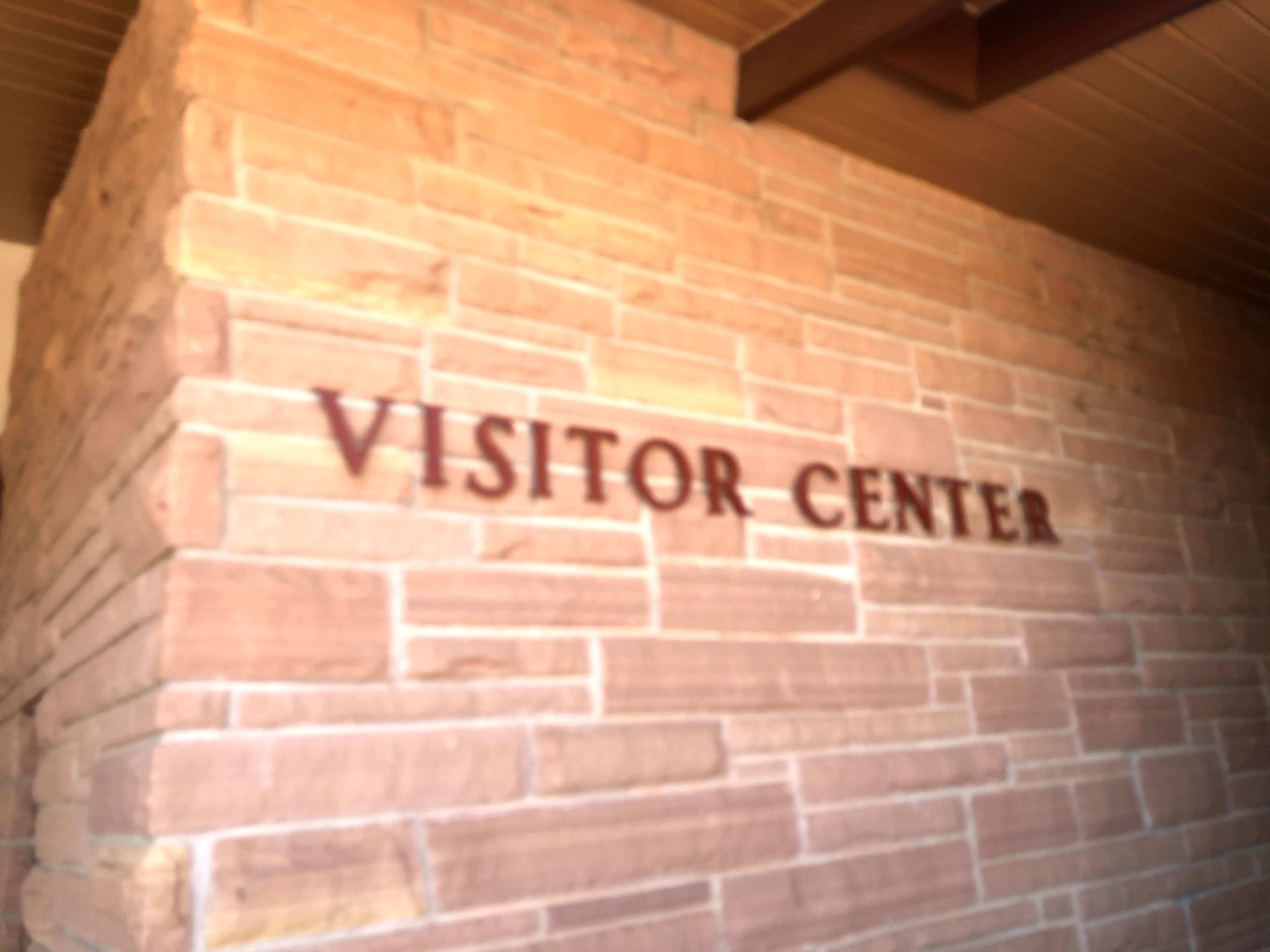
Following the Ranger talk we visited the Visitor Center. I liked the fact that it is built from the native sandstone…
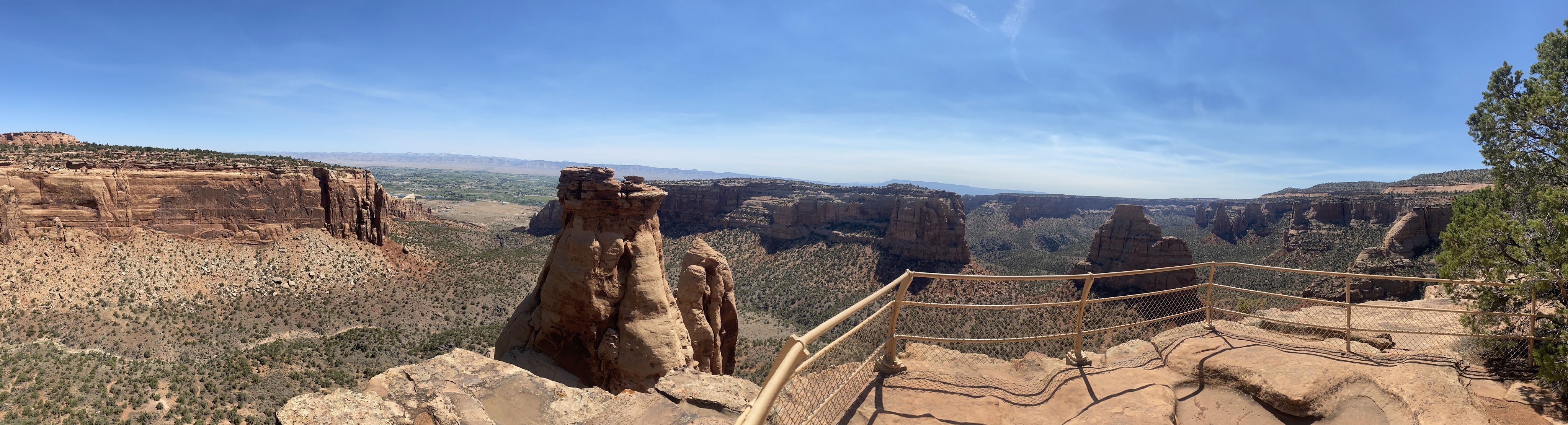
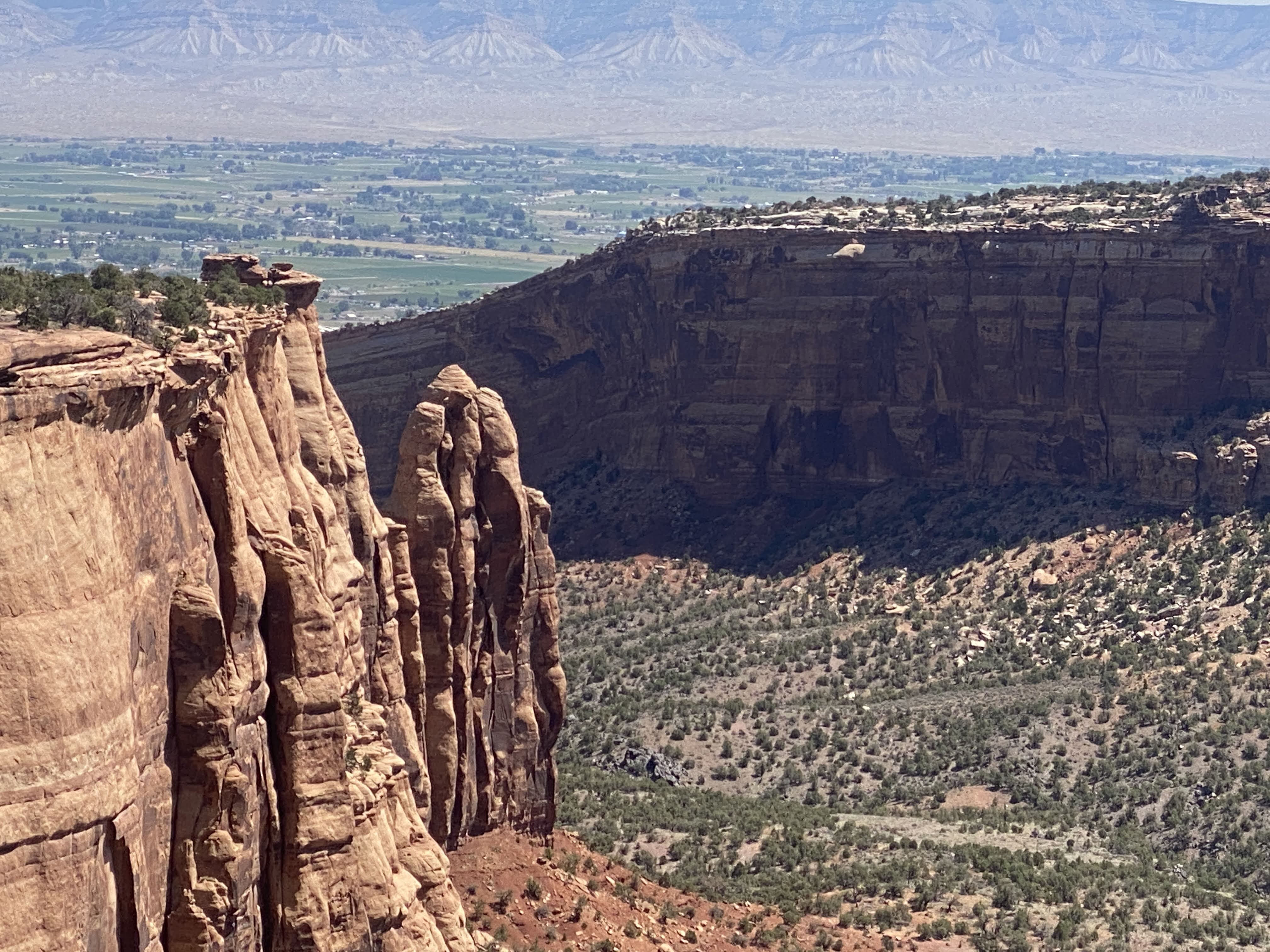
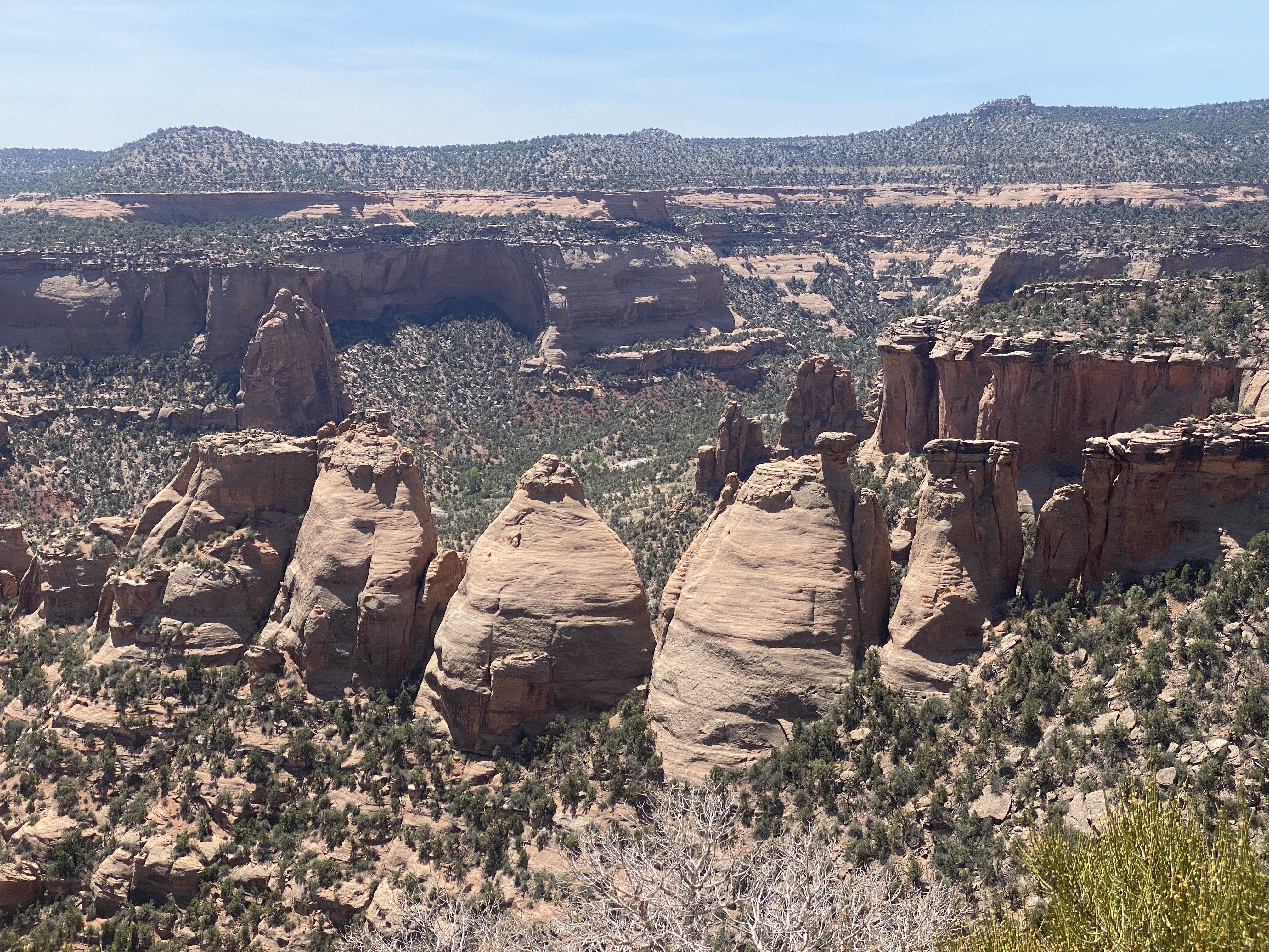
After we had seen a few exhibits in the Visitor Center we drove the Rim drive for 23 miles, all the way to Grand Junction. We saw 23 miles of rocks.
Here I liked the walls made from the natural sandstone… These walls are several hundred feet long, and they occur at many of the pull-outs along the Rim drive…
After we left the park we drove through Grand Junction again. We found truck fuel and DEF. Tomorrow we will return to Fruita for some final grocery shopping before we enter the wilderness of Dinosaur National Monument, Flaming Gorge Dam, and the Grand Tetons National Park…
It was 97 degrees again, but we have good, clean power, so both AC units are running in the Airstream… At 5:00 we took a walk around the lake in the park.
We also saw the Colorado River again, adjacent to the park…
Unfortunately, we walked out of the park and around the outside of the park, and finally had to go totally around the park and walk in the maim entrance…
After a short break we joined other caravaners for happy hours. We returned to the Villa, and an enjoyable time was had by all…,
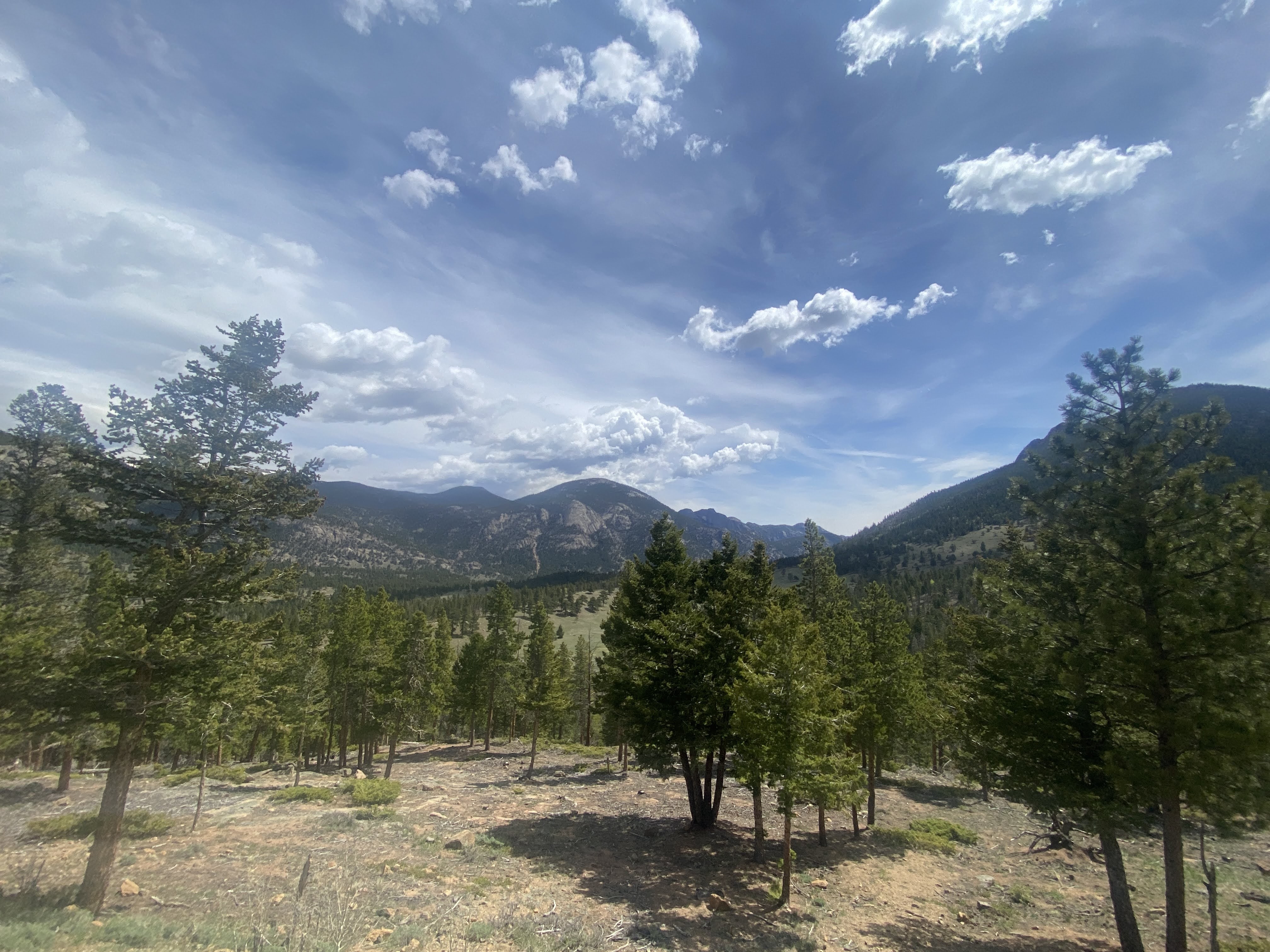
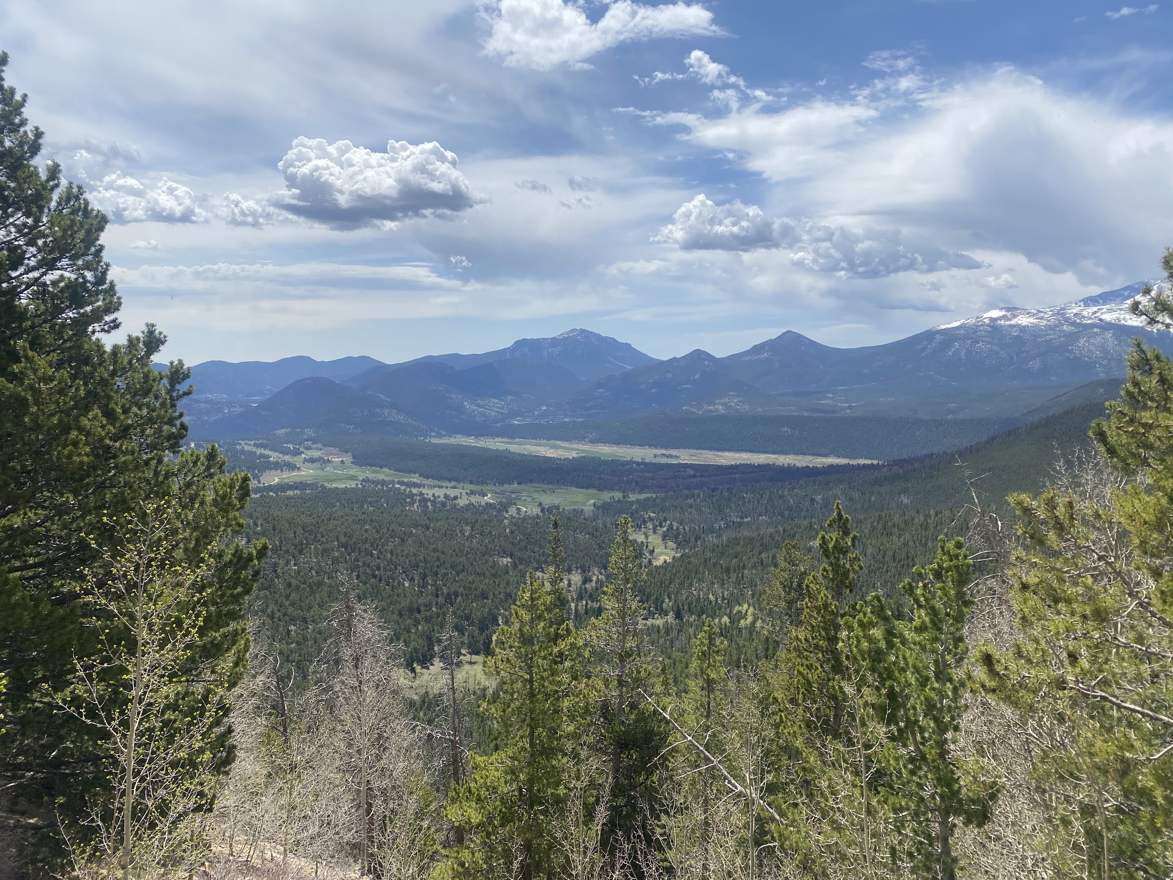
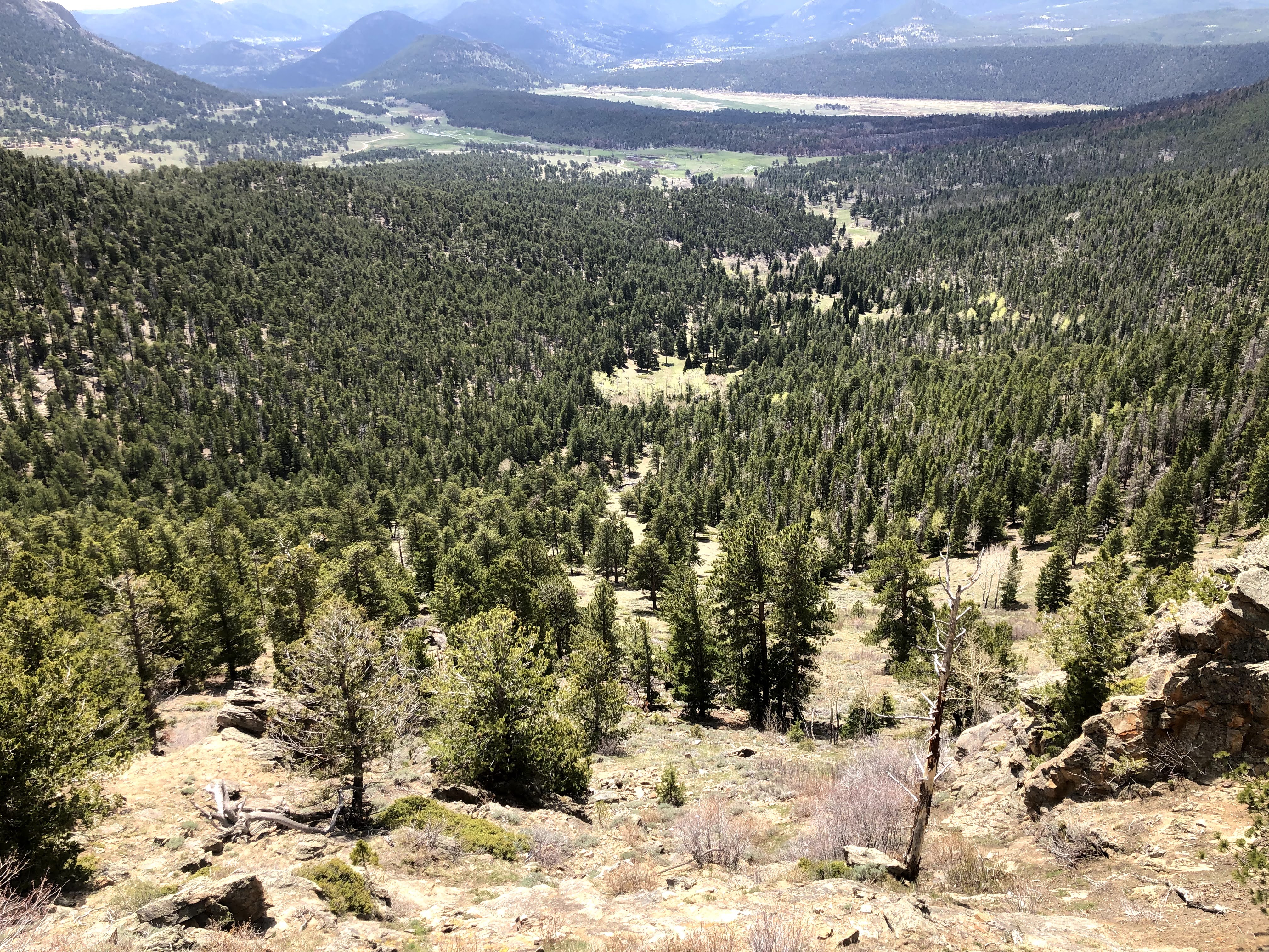
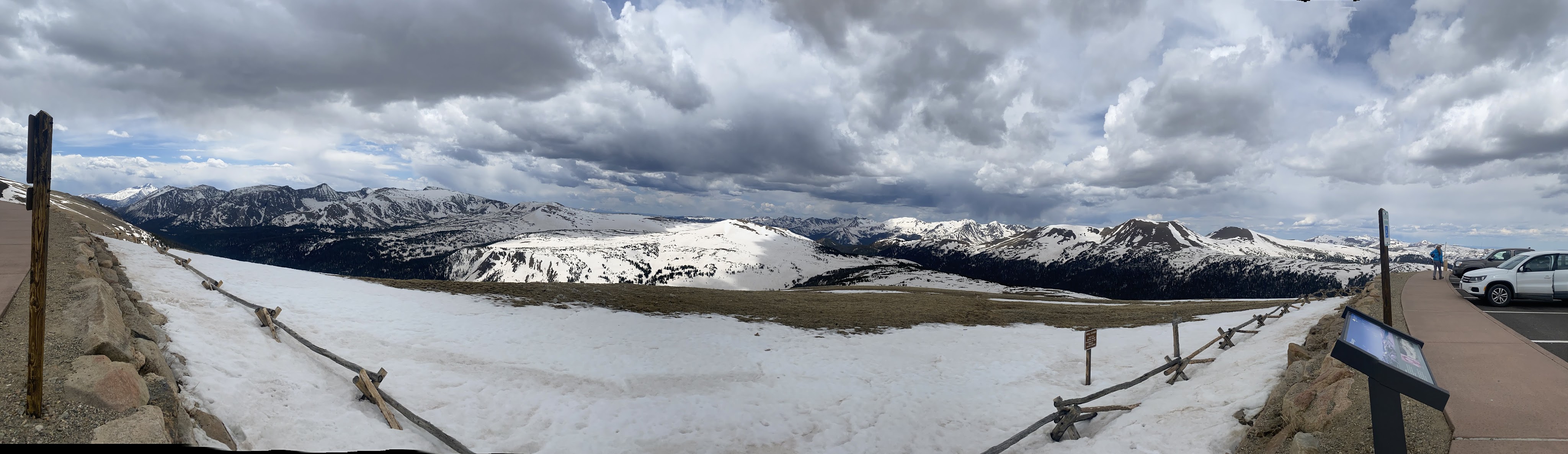
Today was a real thrill. Today’s drive was what Rocky Mountain National Park is all about. We drove from the RV Park (elevation 7,729) to the Alpine Visitor Center (elevation 11,796), passing the high point in the road at elevation 12,188…!
I took about 5,000 pictures. I’ll try to condense them down here…
There are several ecosystems visible from the road – forest, snow, rocks, tundra… It changes at every turn…
In the photo above we can see outside the RMNP. The entire Park is surrounded by National Forests…
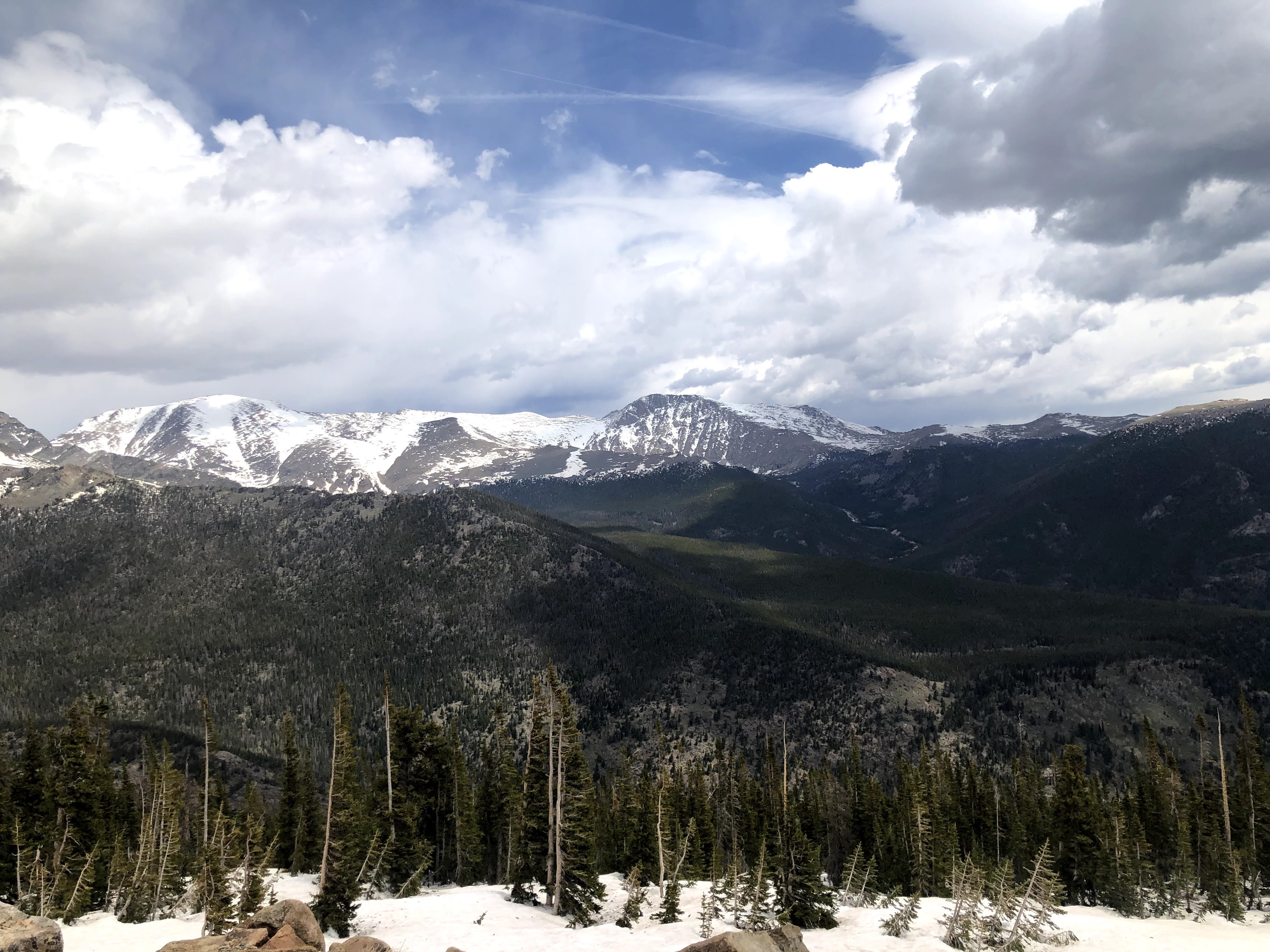
At the Forest Canyon Overlook, the pathway was totally covered with snow. We decided to skip this path… We are at elevation 11,700, and we can feel the effects of the altitude…
We are now above the tree line. Nothing but tundra consisting of tiny plants, miniaturizing themselves as a way to survive…
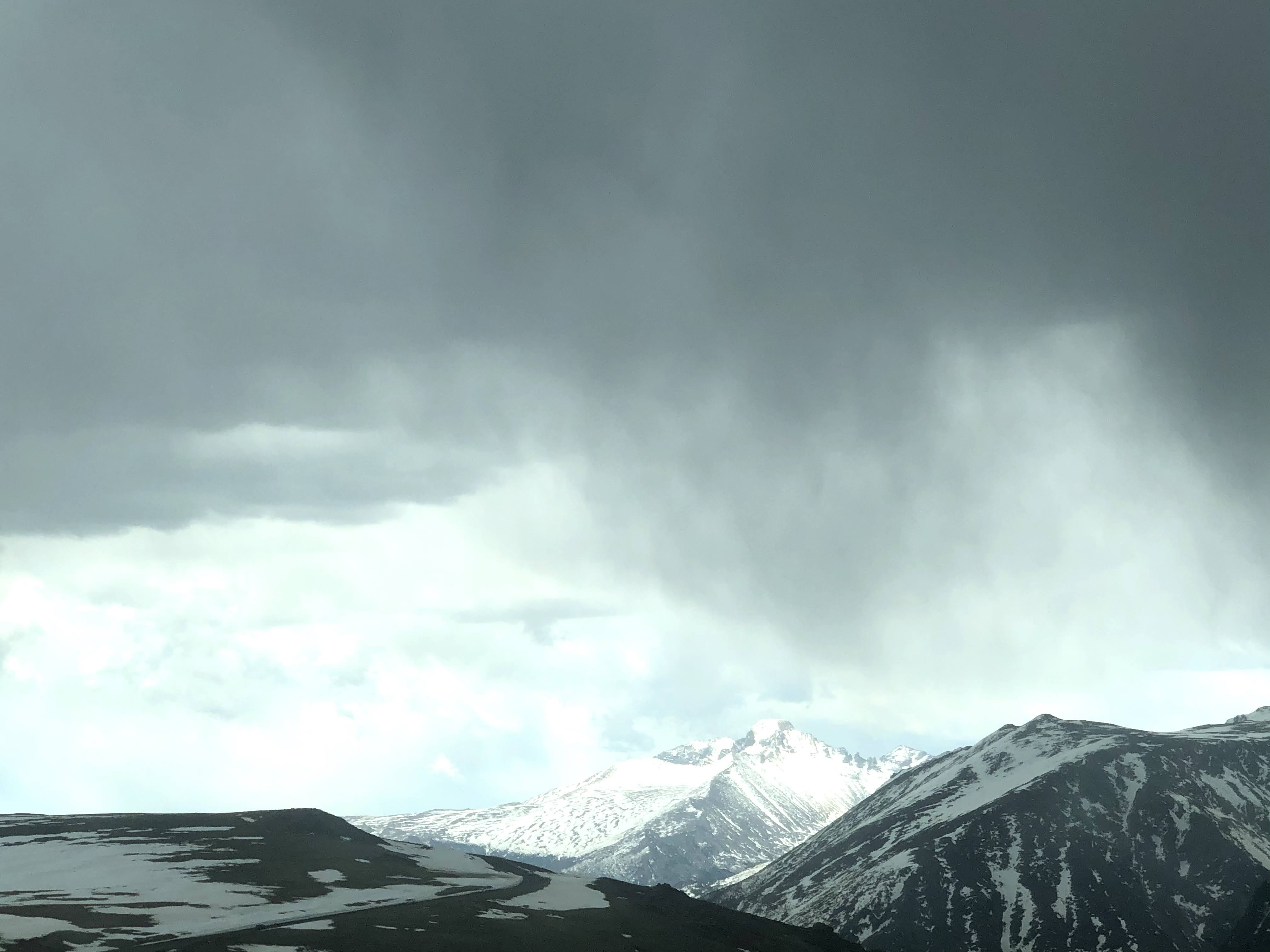
Below are the Lava Cliffs…
Here we see the Gore Range – mountains reaching as high as 12,928′.
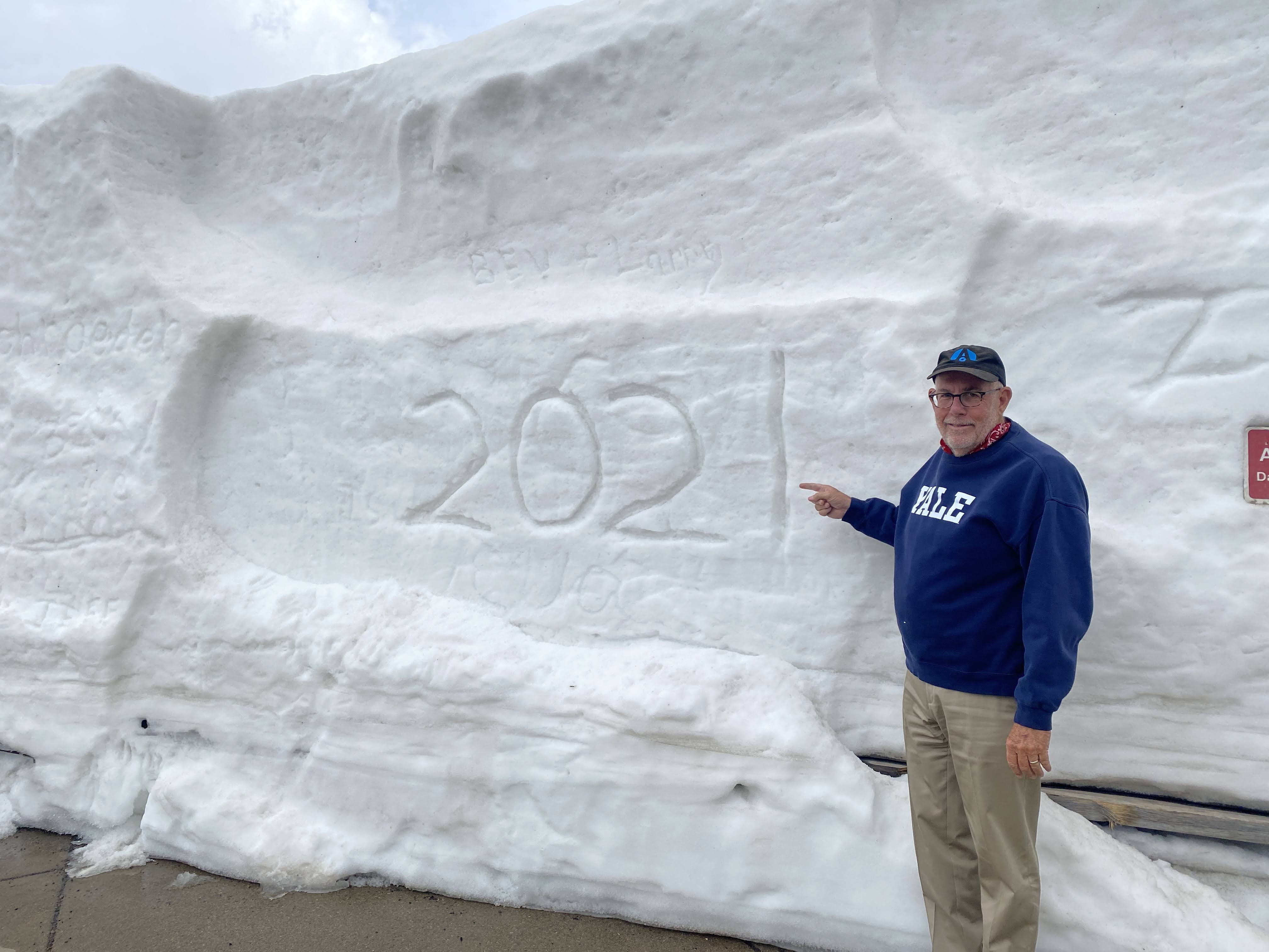
We have arrived at the Alpine Visitor Center, elevation 11,796. My Hemoglobins are starving! There is about 14′ of snow on the ground…
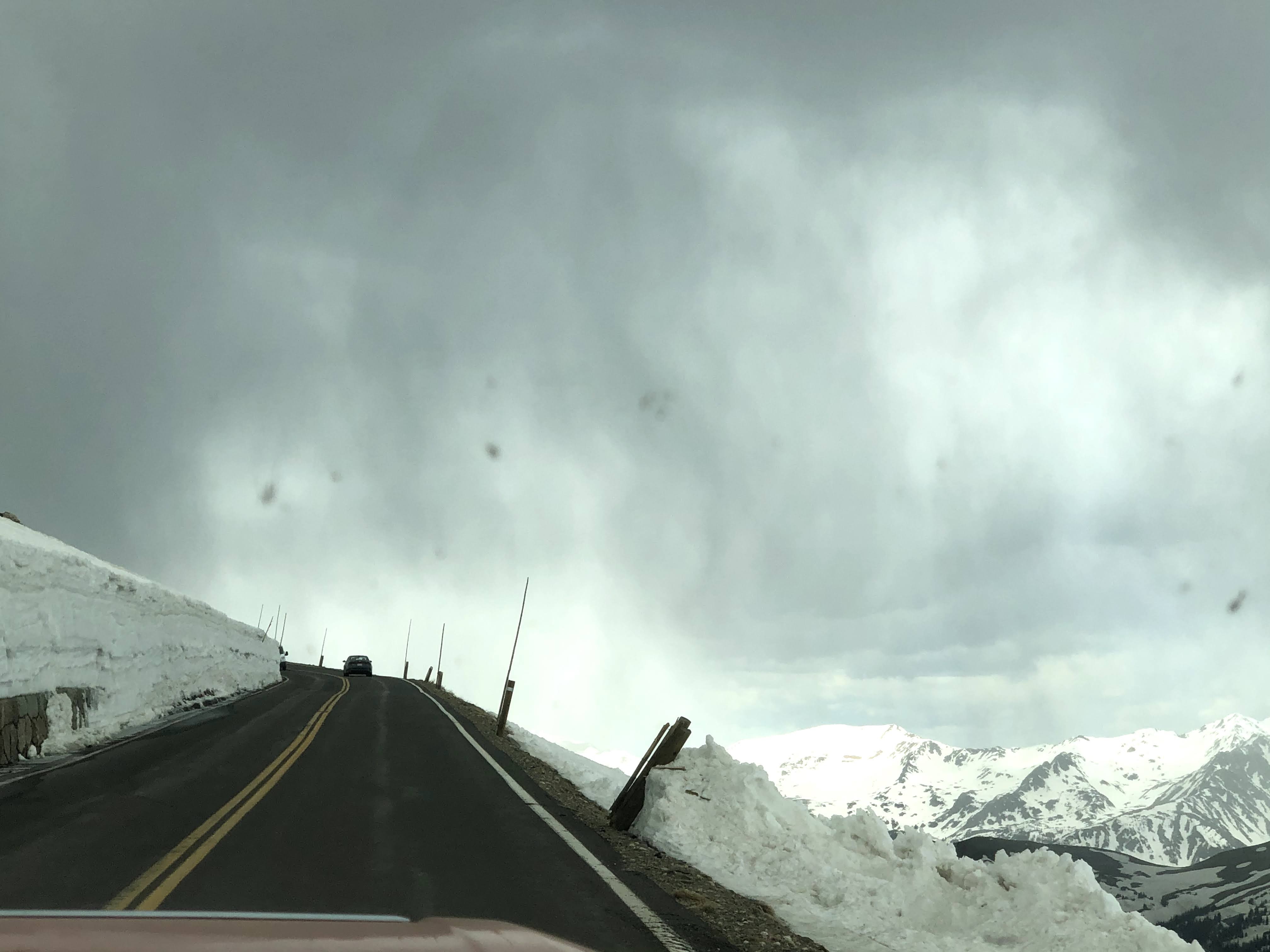
Our drive back “down” was exciting! We are driving on the edge of the world!
And then it started to snow!
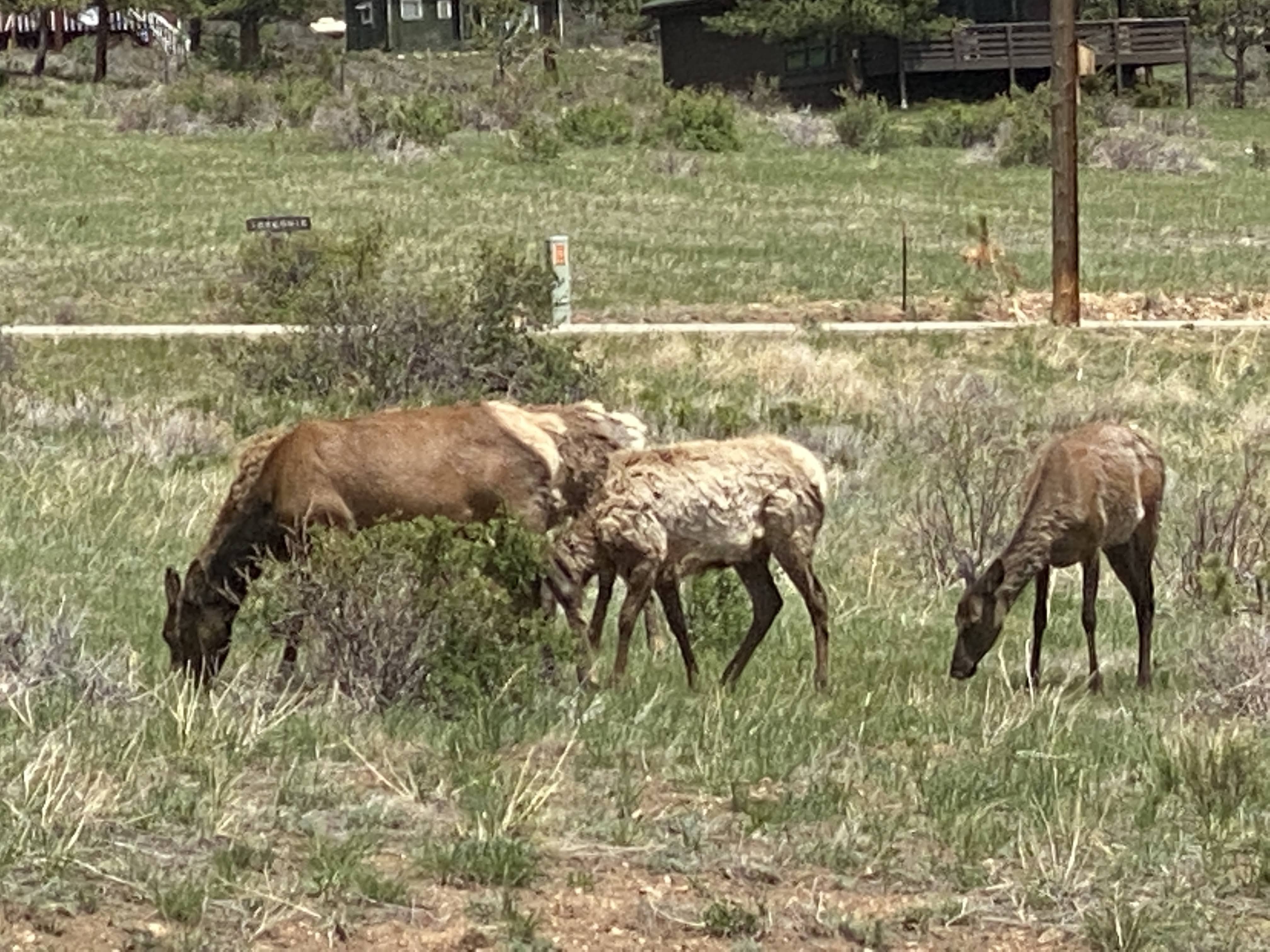
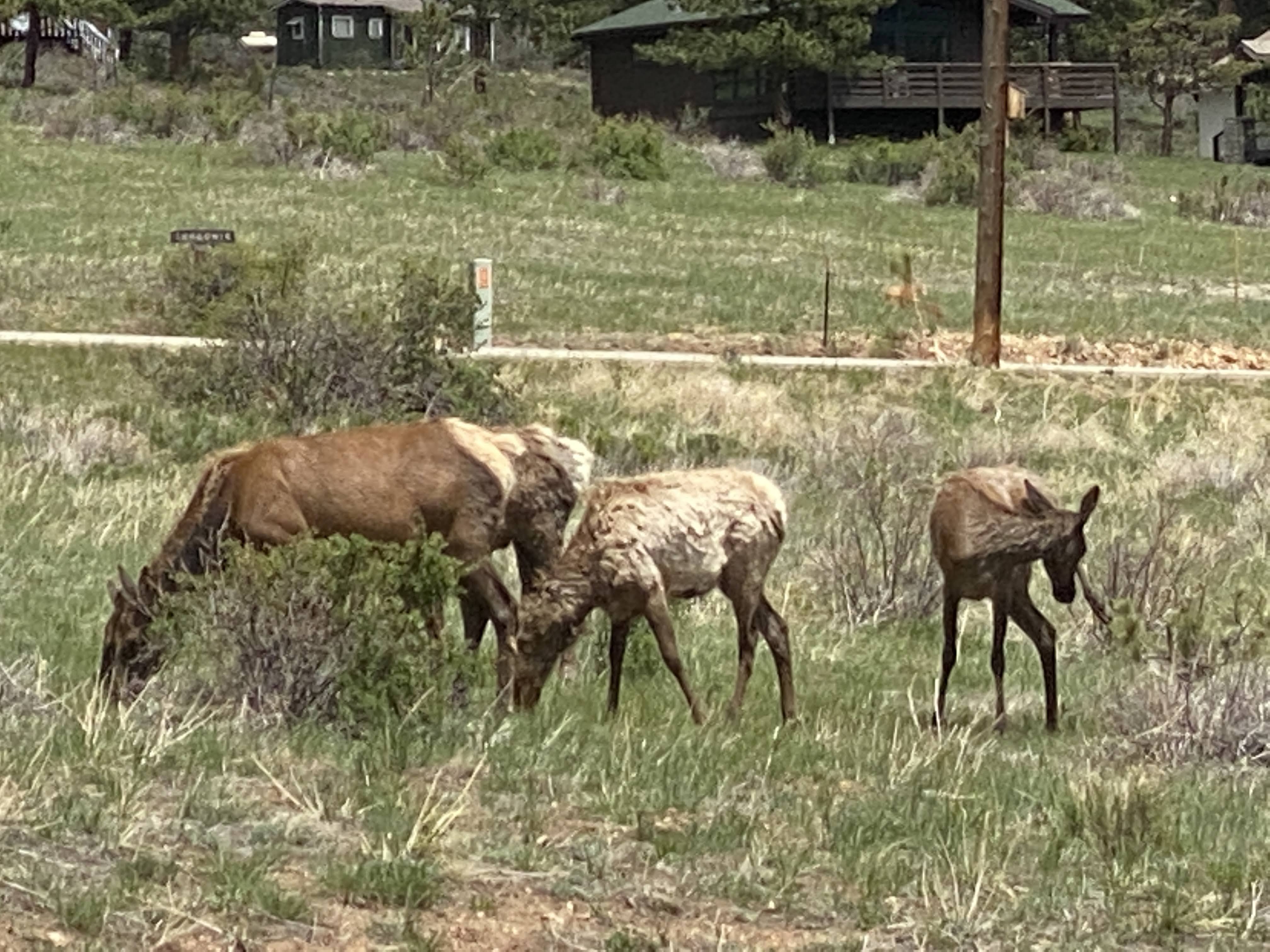
The rest of the drive down was uneventful. Near the park entrance we saw these funny looking animals…
We believe they are either mule deer or elk?
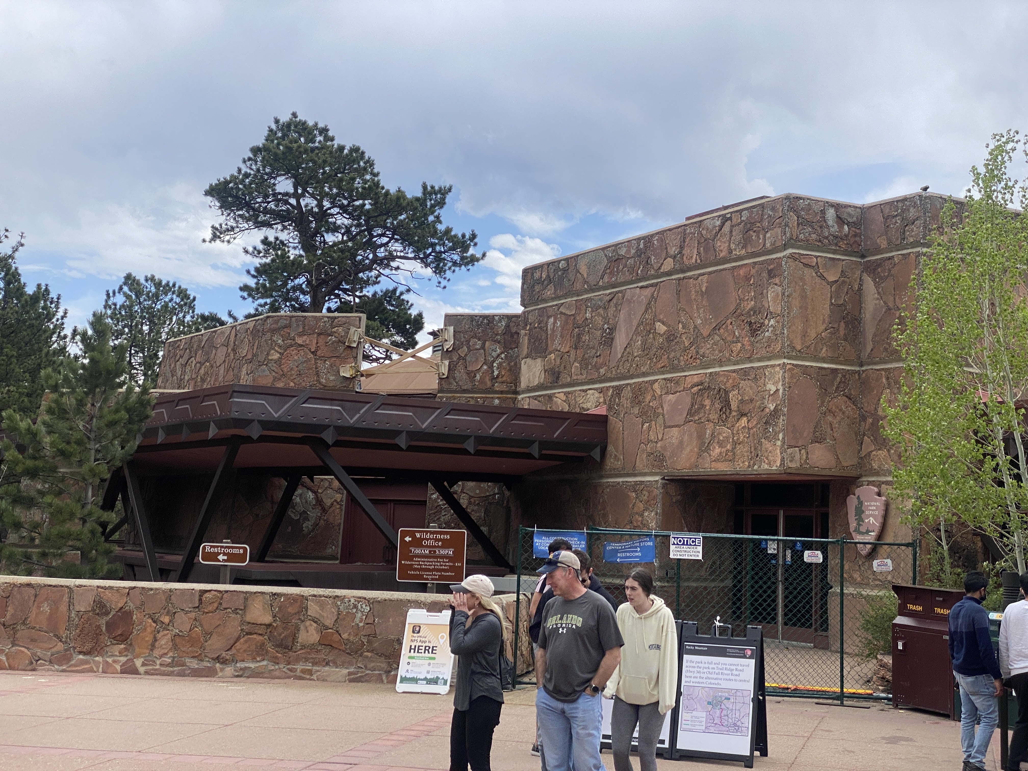
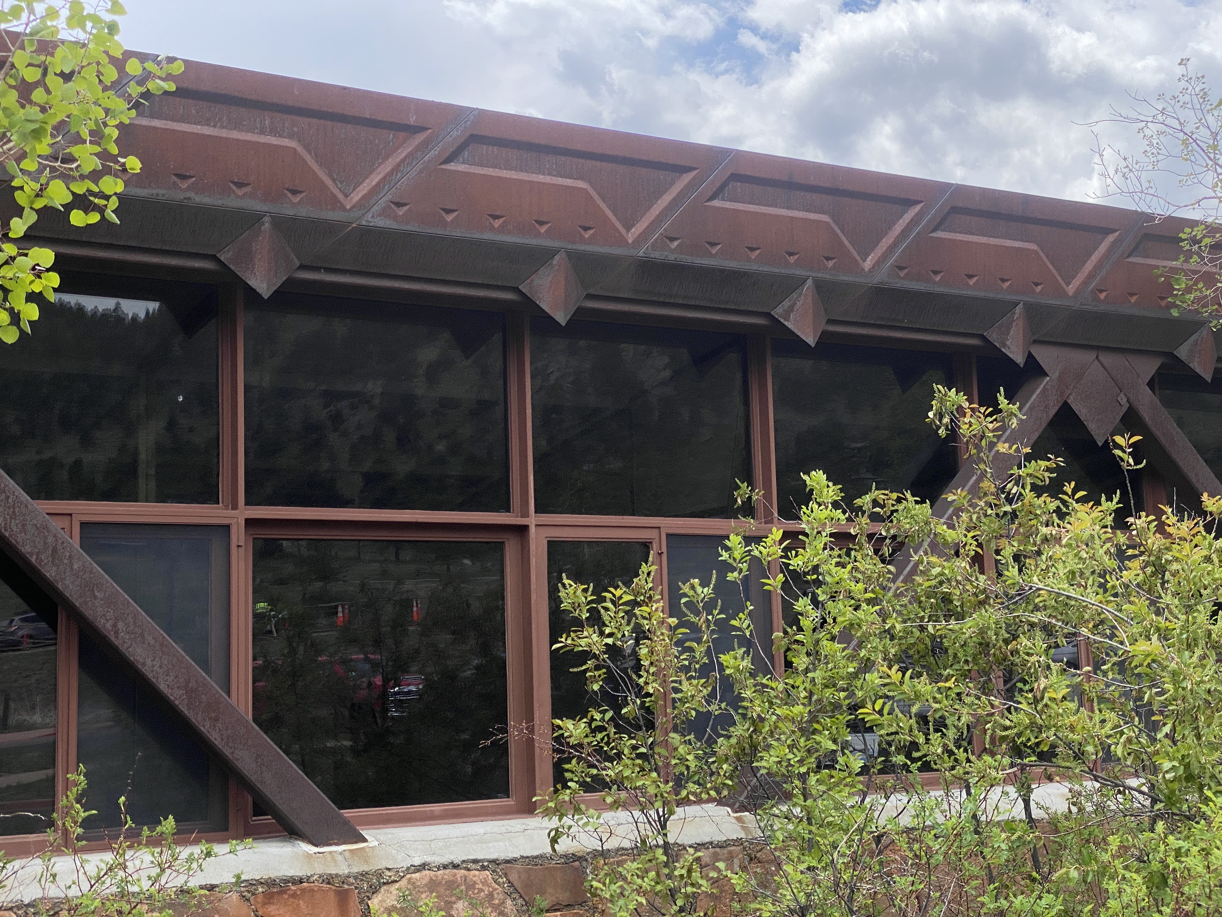
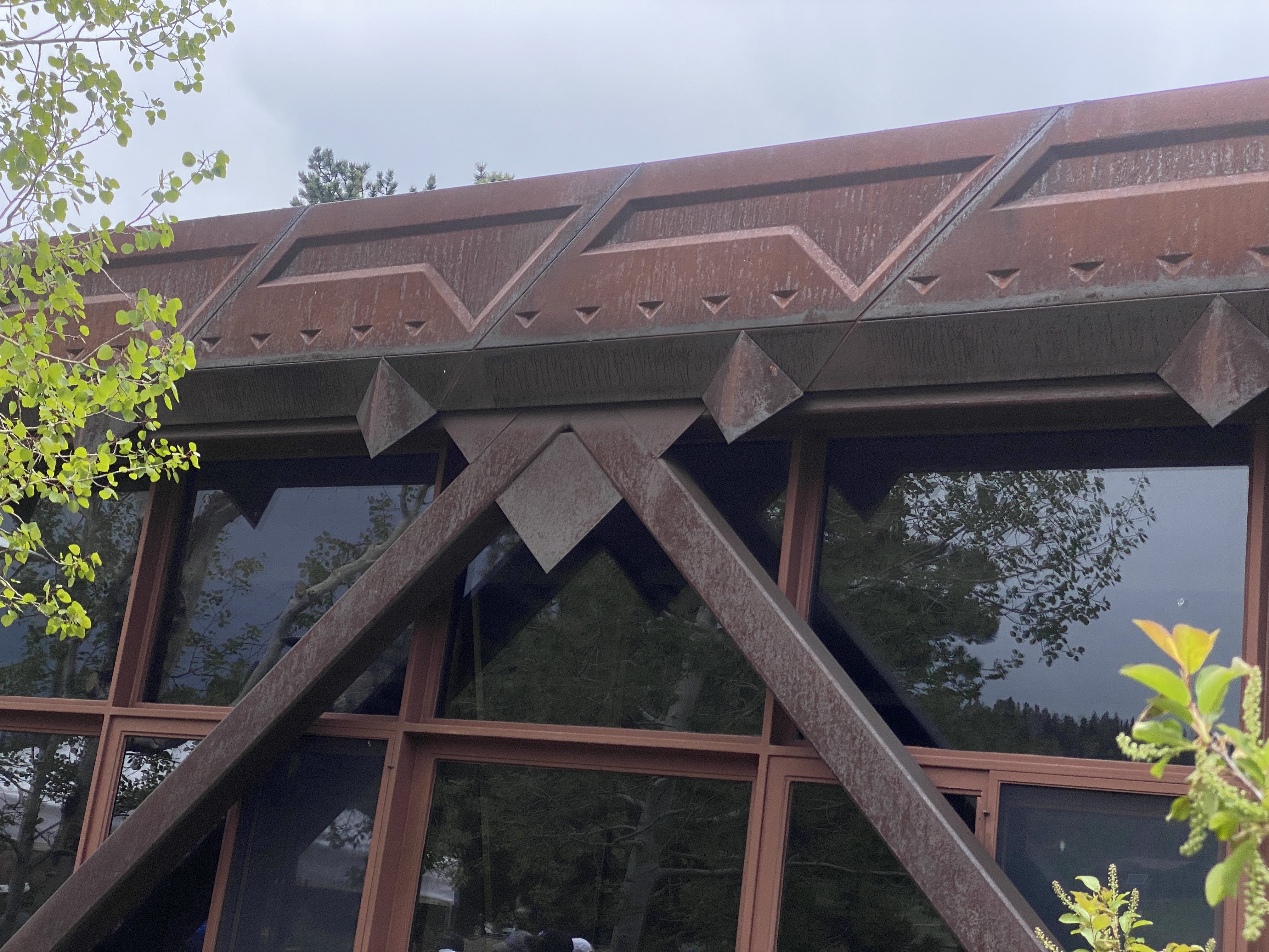
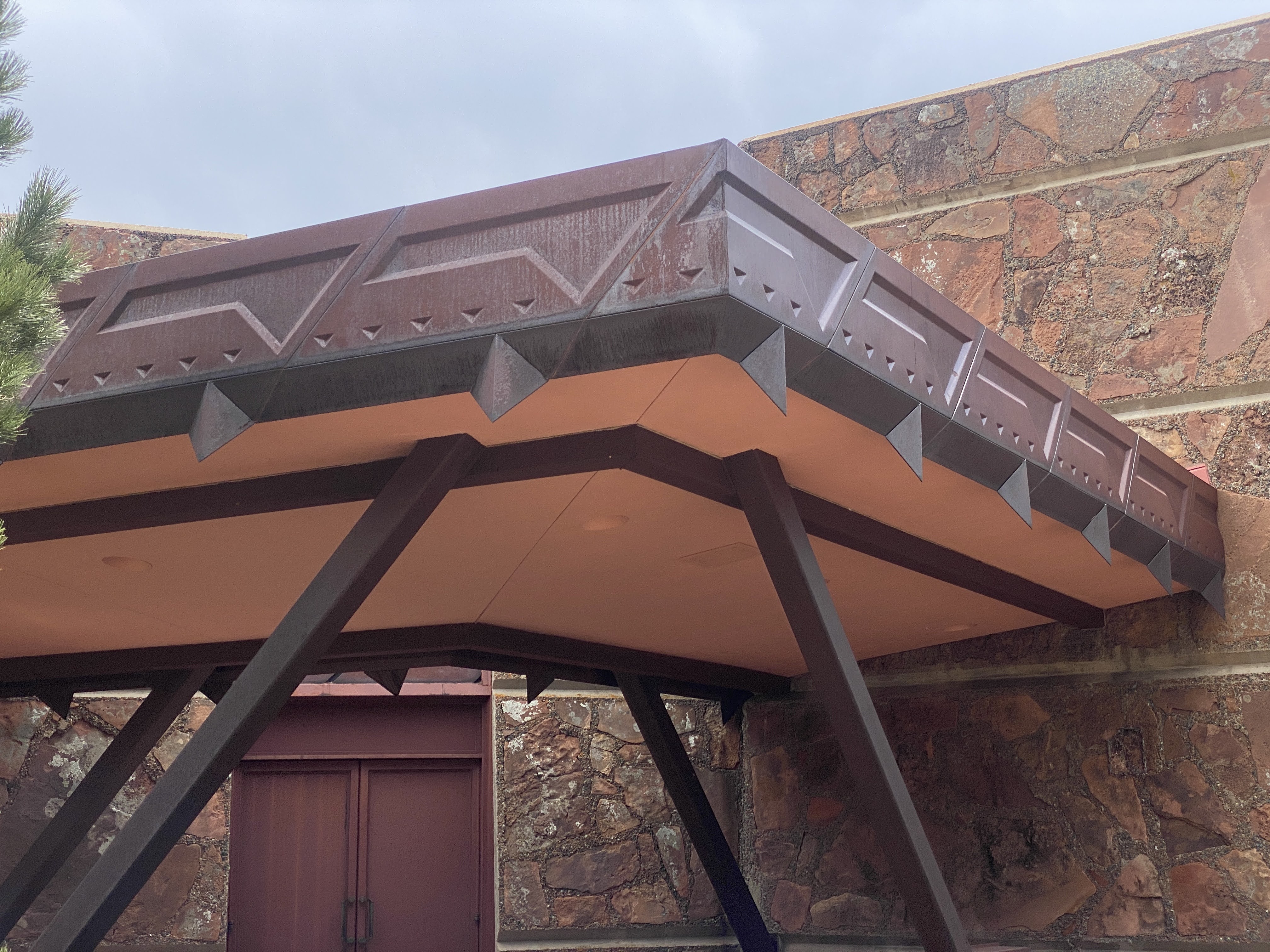
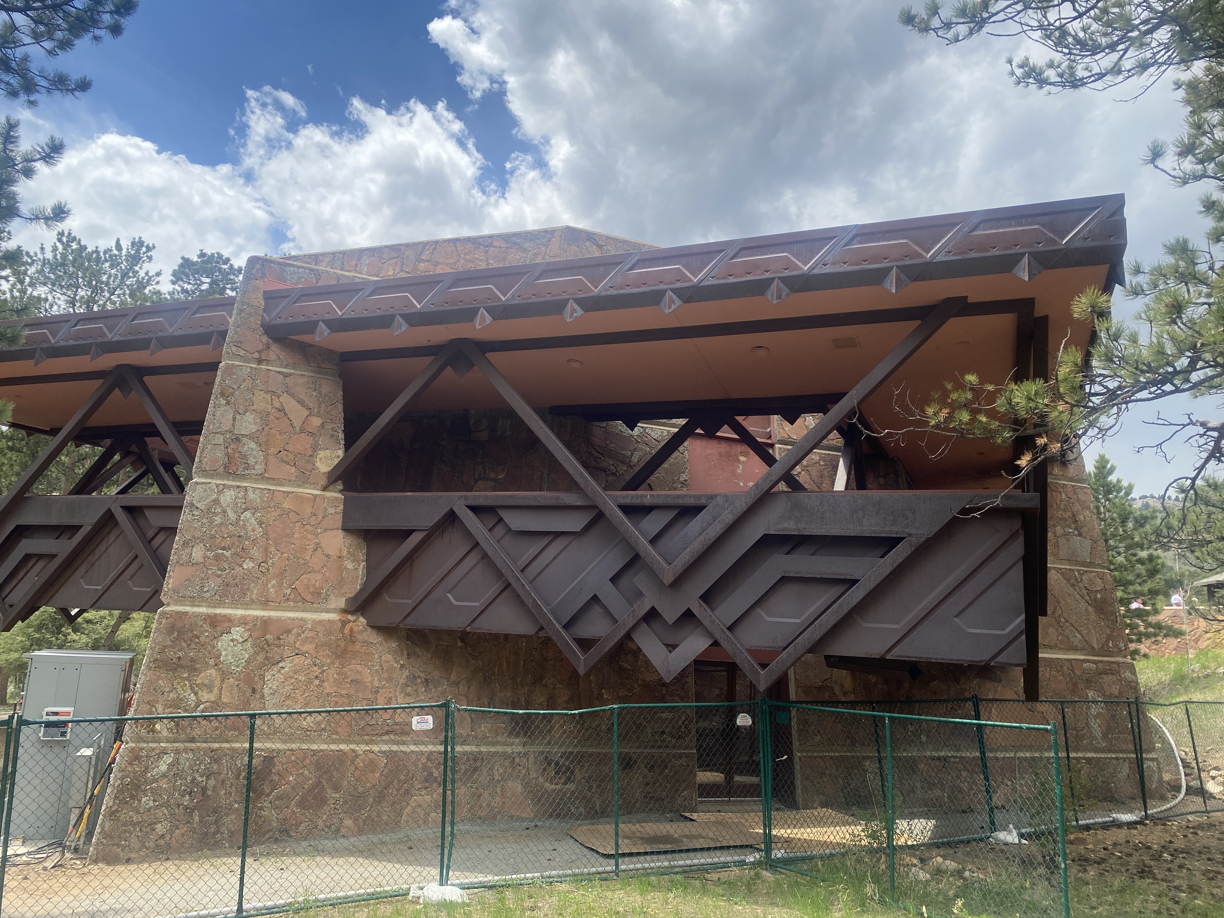
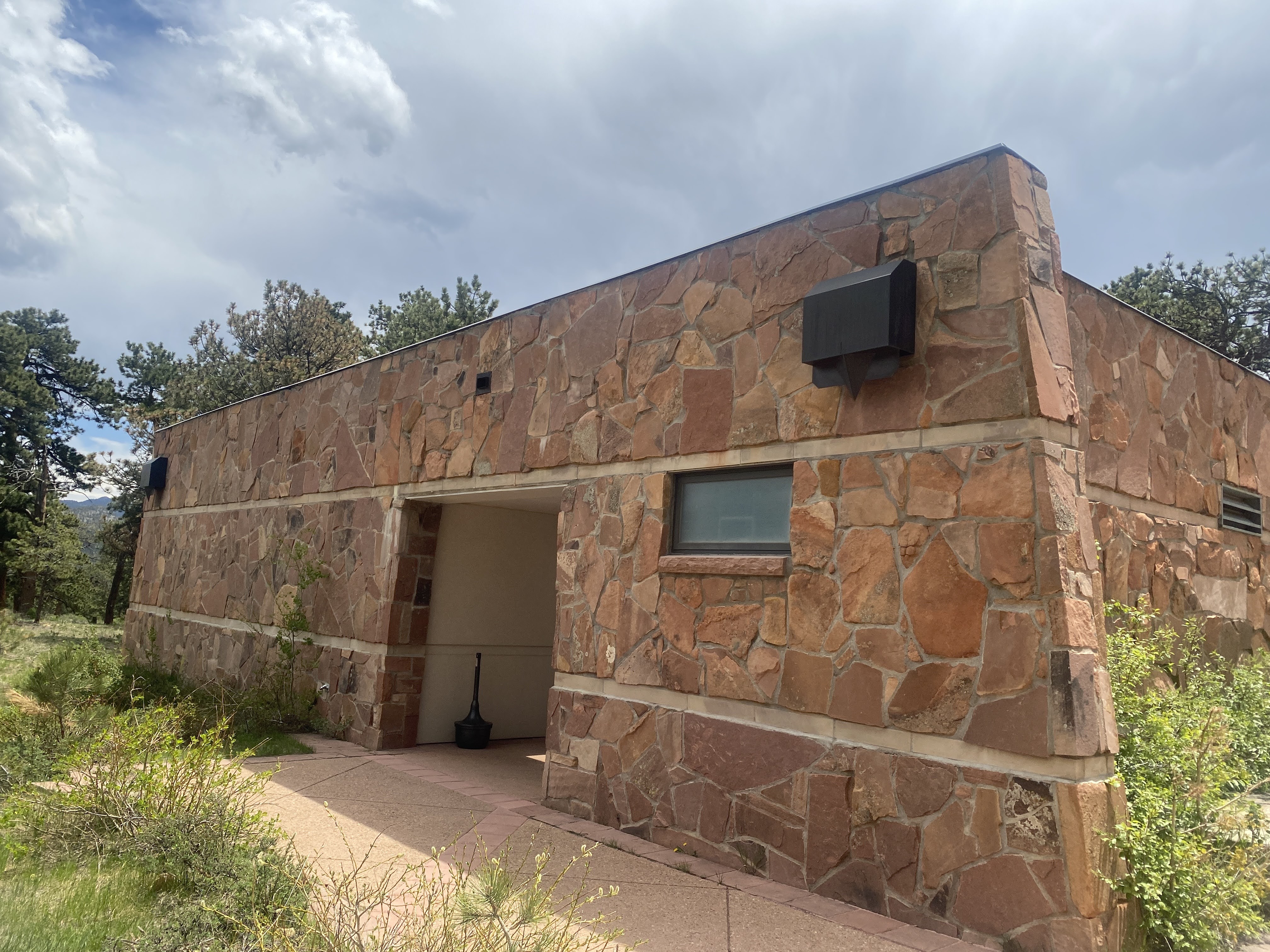
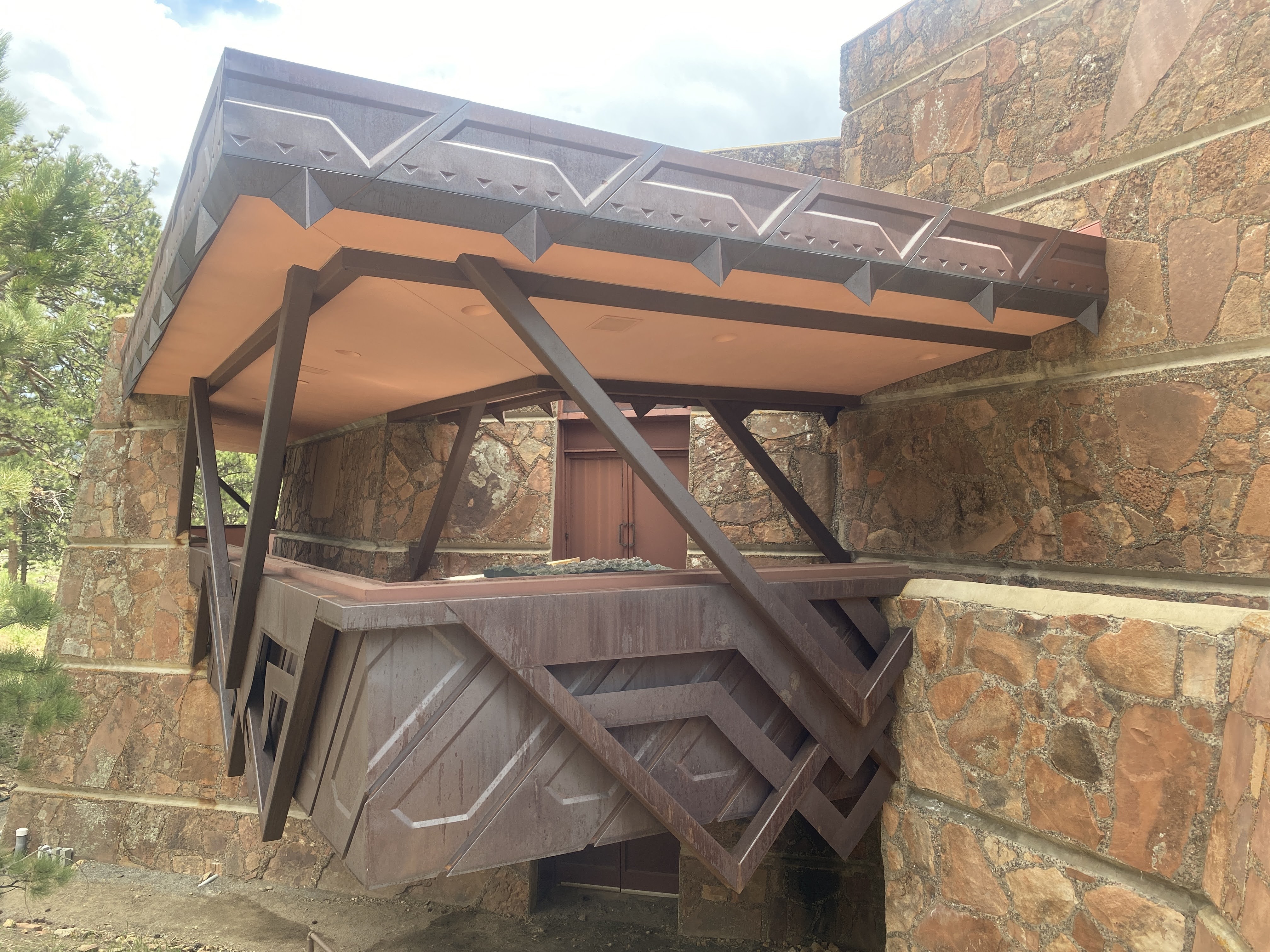
Quite serendipitously we stopped by the Beaver Meadows Visitor Center. I noticed the detailing…
Something seems familiar… I Googled it…
Beaver Meadows Visitor Center, also known as Rocky Mountain National Park Administration Building, is the park headquarters and principal visitors center of Rocky Mountain National Park. Completed in 1967, it was designed by Taliesin Associated Architects, and was one of the most significant commissions for that firm in the years immediately following the death of founder Frank Lloyd Wright. It was declared a National Historic Landmark in 2001.
Who knew!
So that concluded our time in Rocky Mountain National Park…
We had a drivers’ meeting to discuss our drive to Colorado Springs on Monday – Memorial Day. There are three pages of detailed driving instructions to travel the 145 mile route… Colorado roads must be amazing! (Apparently 20-30 miles of the 70 are under construction, so we are taking back roads…!
This evening, after the meeting, we returned to Bird and Jim, a local restaurant (“Colorado Cuisine”). This time we brought friends… We enjoyed craft cocktails, Smoked Pheasant Chowder, Short Rib Sliders, Colorado Trout, Beef Tenderloin, and something they called the “Carnivore Plate” – Elk Tenderloin, Lamb T-bone, and Wild Game Sausage. And a bottle or two of wine.
Rocky Mountain National Park is located approximately 76 mi northwest of Denver in north-central Colorado, within the Front Range of the Rocky Mountains. The park is situated between the towns of Estes Park to the east and Grand Lake to the west. The eastern and western slopes of the Continental Divide run directly through the center of the park with the headwaters of the Colorado River located in the park’s northwestern region.[6] The main features of the park include mountains, alpine lakes and a wide variety of wildlife within various climates and environments, from wooded forests to mountain tundra.
The Rocky Mountain National Park Act was signed by President Woodrow Wilson on January 26, 1915, establishing the park boundaries and protecting the area for future generations.[3] The Civilian Conservation Corps built the main automobile route, Trail Ridge Road, in the 1930s. In 1976, UNESCO designated the park as one of the first World Biosphere Reserves. In 2018, more than 4.5 million recreational visitors entered the park. The park is one of the most visited in the National Park System, ranking as the third most visited national park in 2015. In 2019, the park saw record attendance yet again with 4,678,804 visitors, a 44% increase since 2012.
The park has a total of five visitor centers, with park headquarters located at the Beaver Meadows Visitor Center—a National Historic Landmark designed by the Frank Lloyd Wright School of Architecture at Taliesin West. National Forest lands surround the park on all sides.
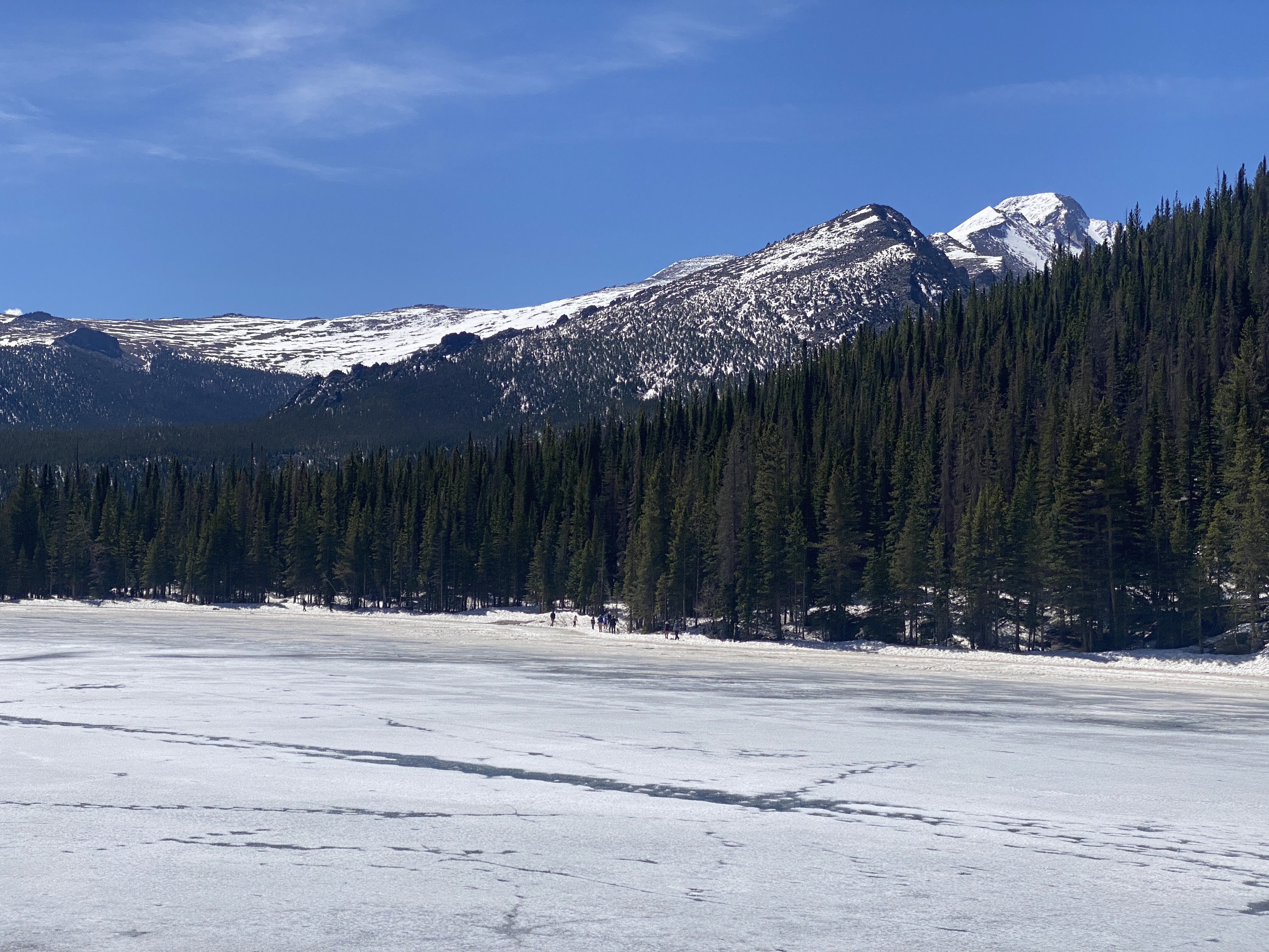
Today is the beginning of the summer season in the park. To control the crowds you must make a reservation to enter the park. We had procured a 9:00 am entrance time to go to Bear Lake, an alpine lake with a lovely walking/hiking path around it. We waited in three lines of cars for over 1/2 hour before we finally arrived at the entrance station.
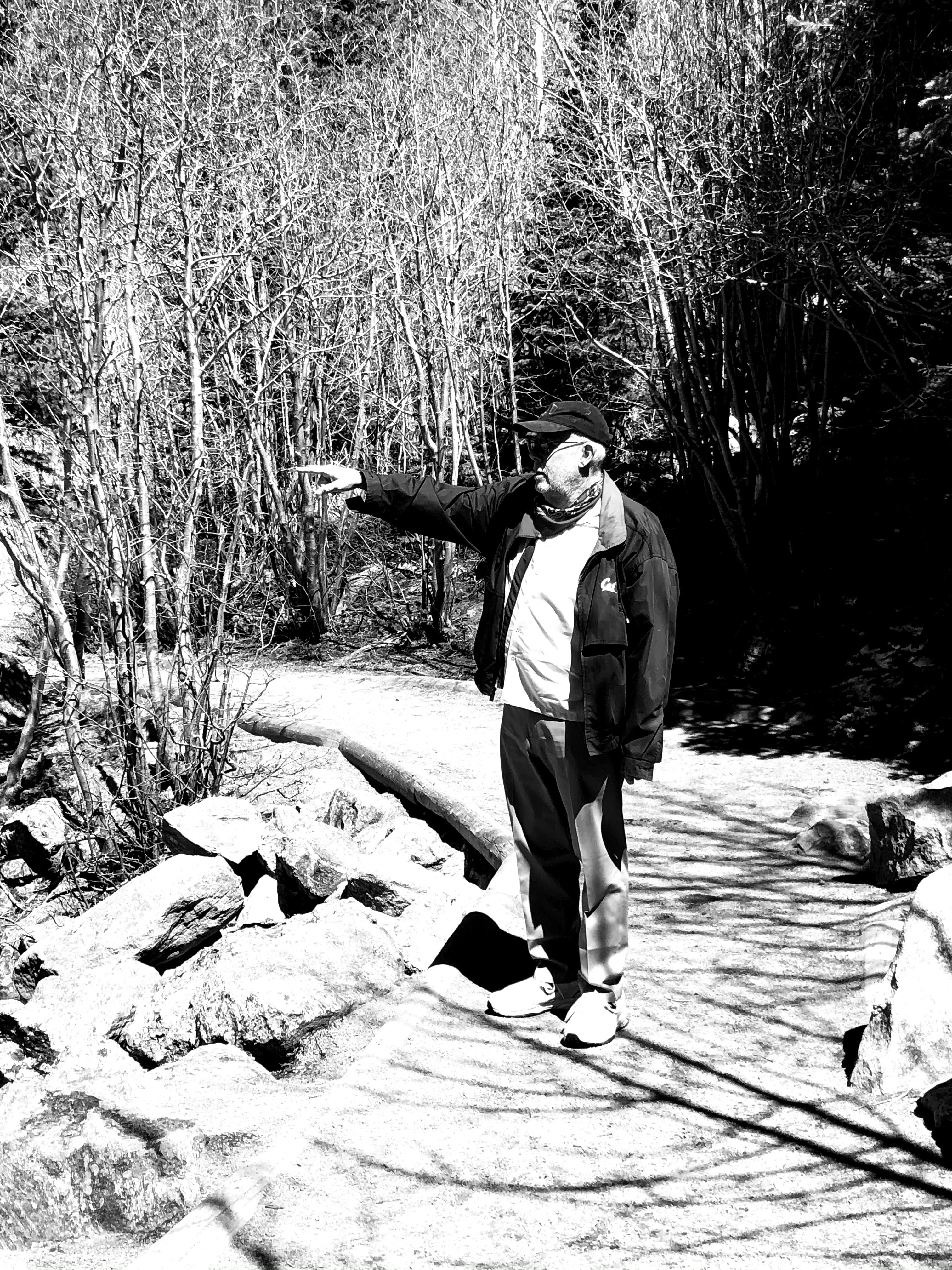
Once in the park we again saw these magnificent mountain peaks…
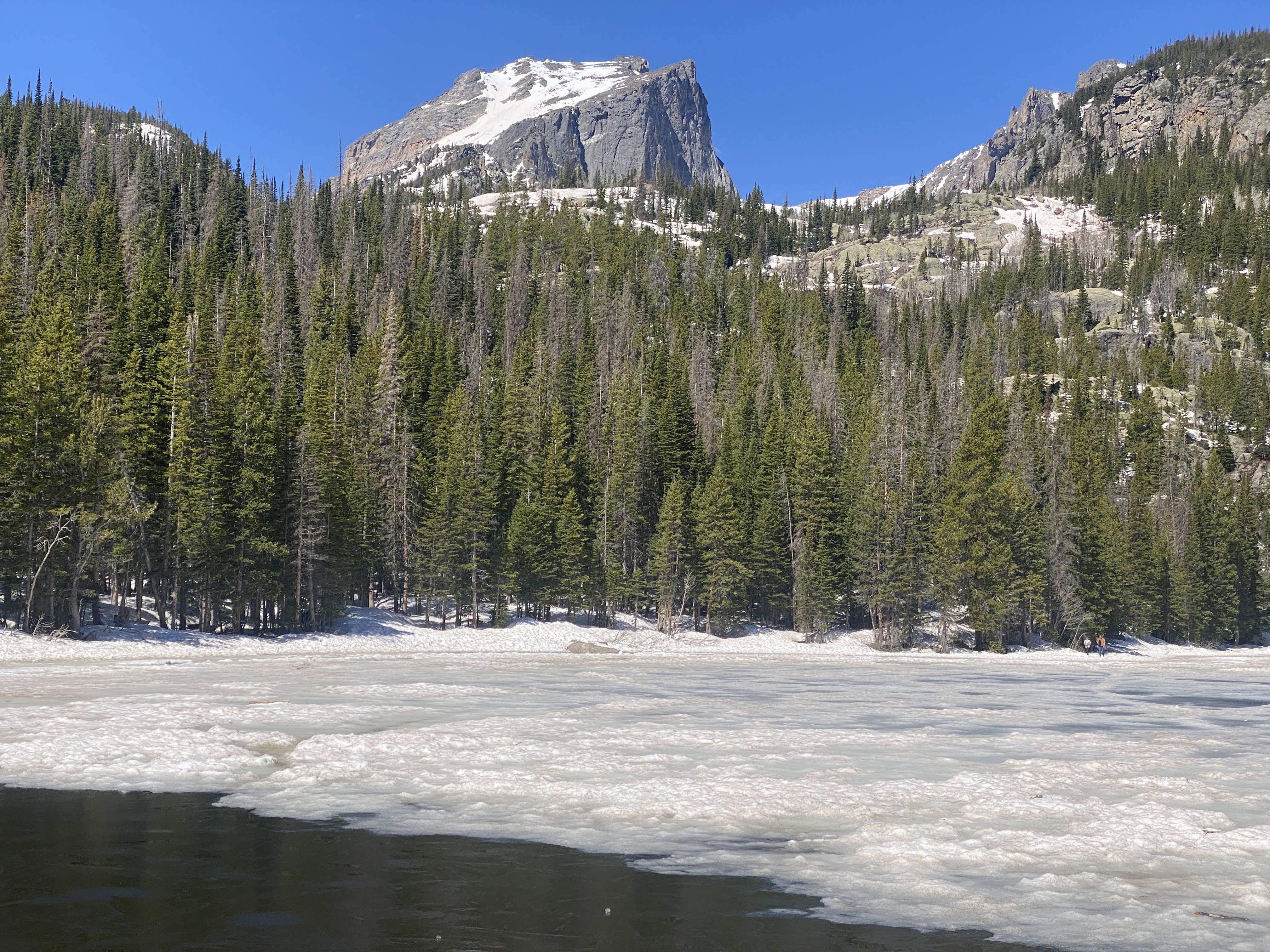
Once at Bear Lake we had friends take our picture… While the temperatures were in the mid-60s, the wind was freezing…
The lake is mostly frozen over. The path around the lake is mostly snow, slush, and ice, with rare patches of dirt, mud, and rocks.
This is what the path looked like most of the way around the lake:
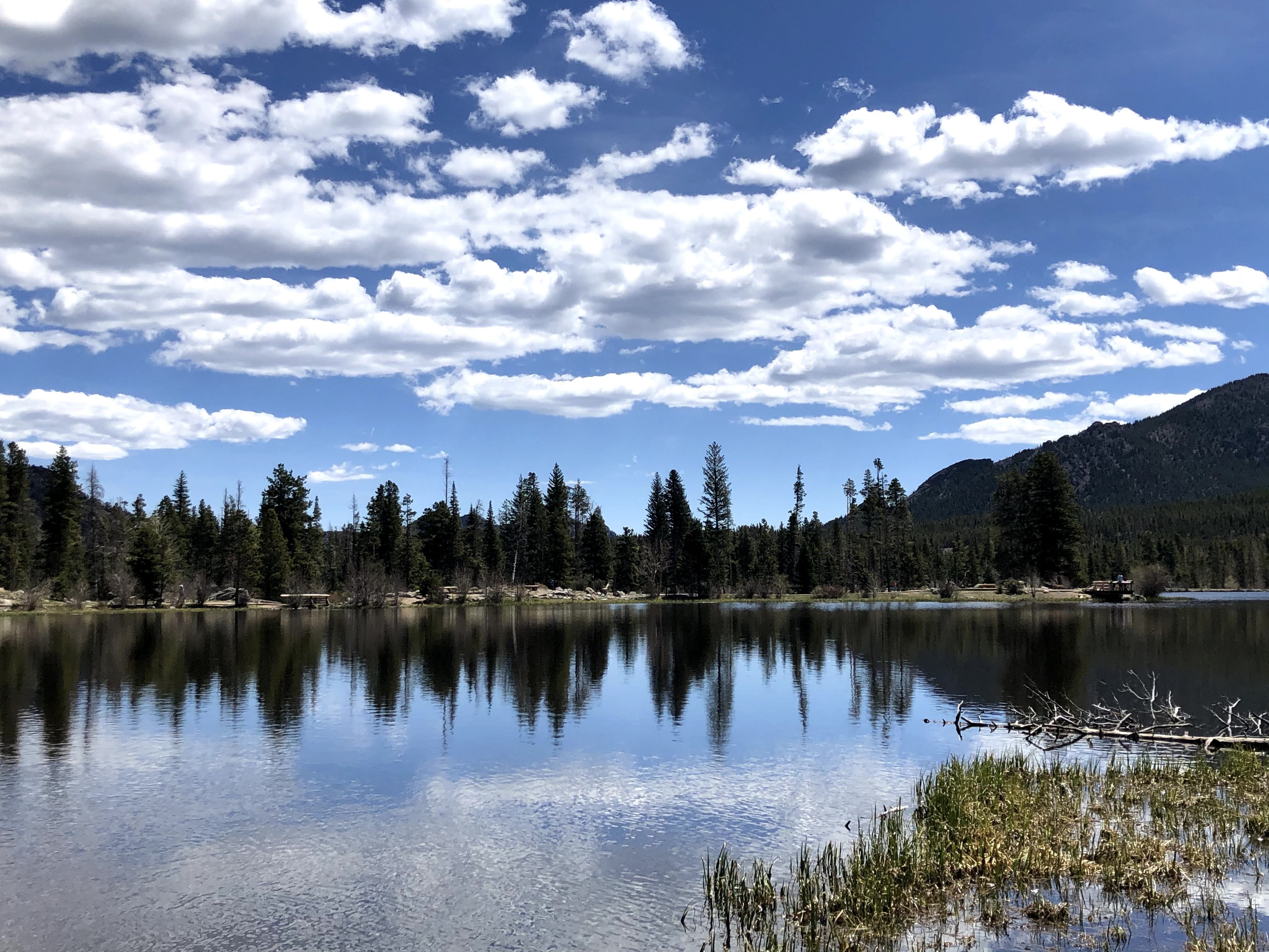
After completing the Bear Lake loop we drove a short way to Sprague Lake; this is Glacier Creek, which feeds into the lake.:
Spraugue Lake is named after Abner Sprague, one of the original settlers in the Estes Park area. Sprague built a homestead in Moraine Park in 1874 that eventually grew into a hunting and fishing lodge and dude ranch. He dammed the creek to create the lake so his guests could enjoy fishing and boating. The lodge operated from 1910 to 1940, preceding the actual National Park.
We enjoyed watching the ducks dive for food…
The lake offered great views all around. It was an easy 3/4 mile, with no ice and snow underfoot…
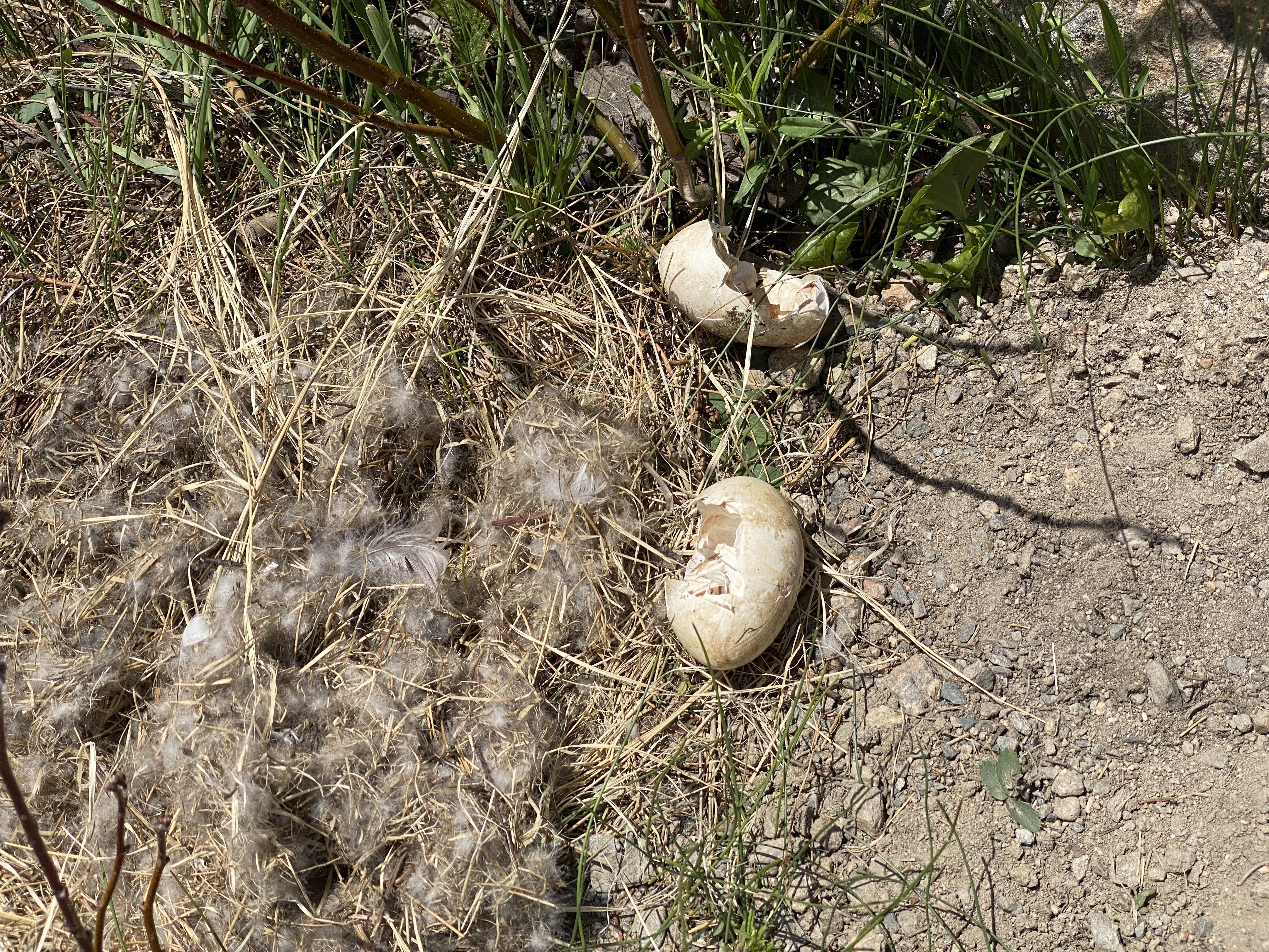
We don’t know what animal hatched out of these eggs… Maybe Elk? Moose?
After our time in the Park it was time for lunch! Bird and Jim’s serves “Colorado Cuisine”. Local ingredients, and creative recipes. We enjoyed a Smoked Pheasant Chowder and Short Rib Sliders…
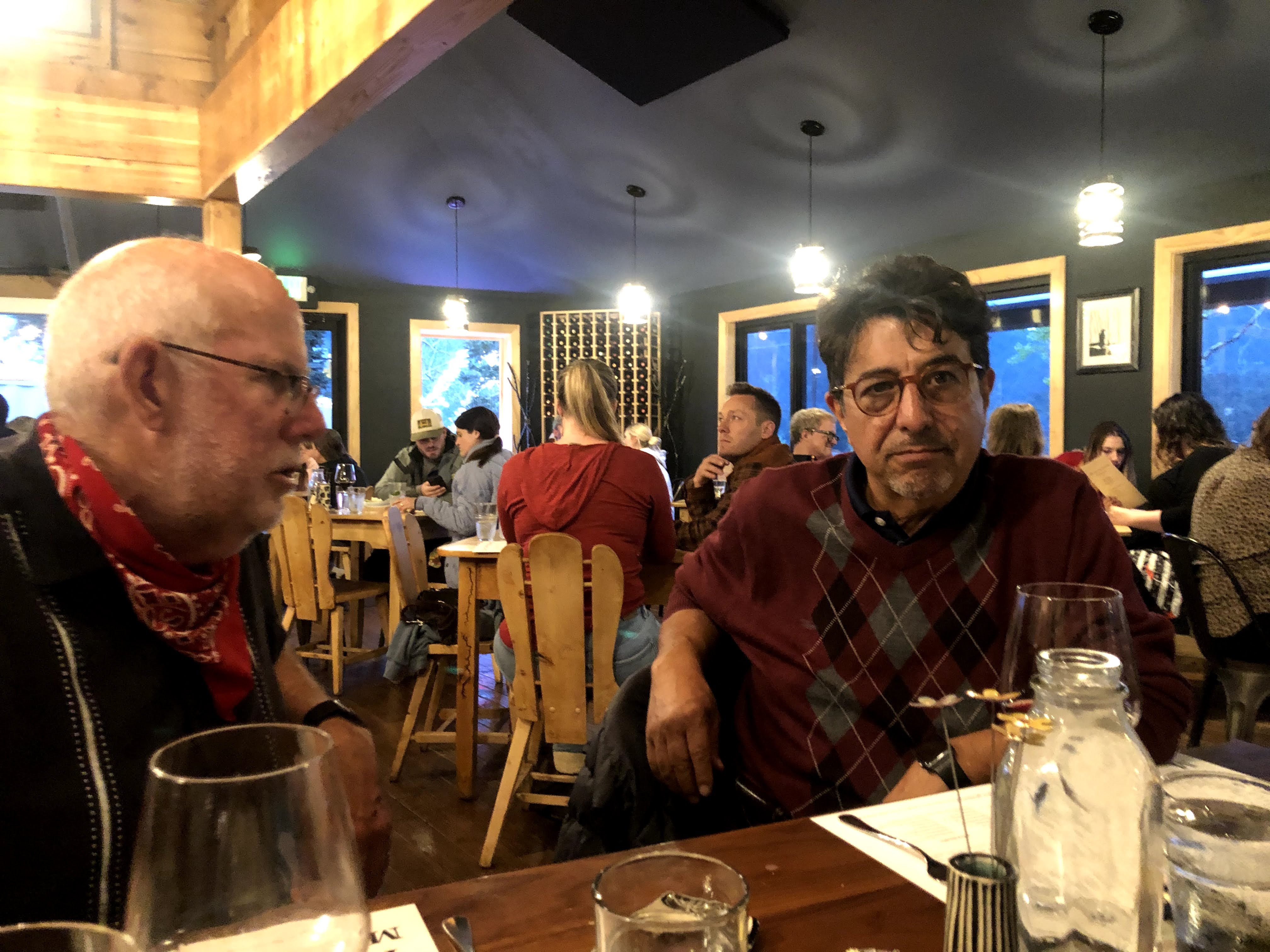
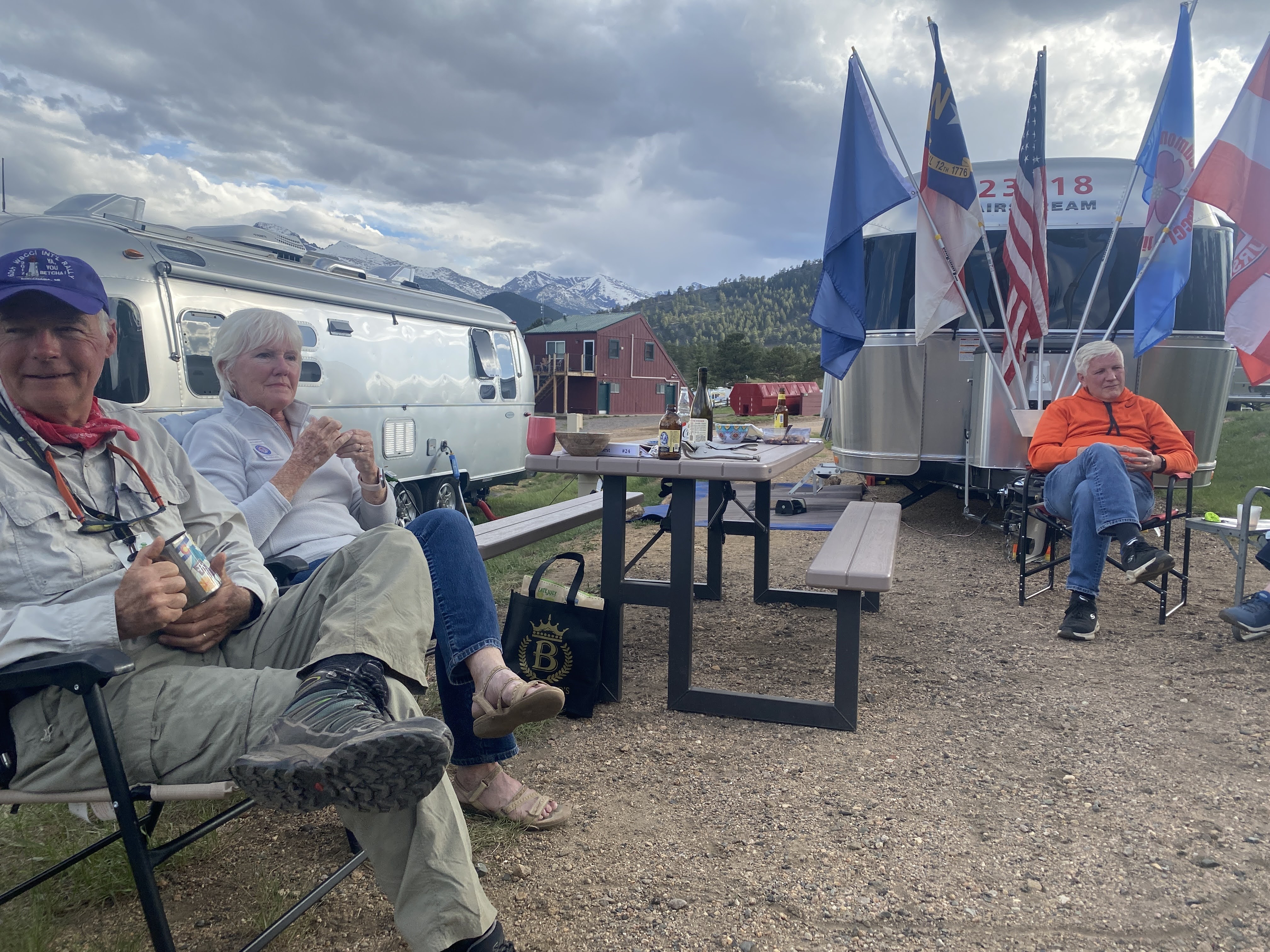
After lunch came a nap; then we had our first GAM – a “Get Acquainted Meeting”. We will have five of these, giving us all an opportunity to get to know each other even better…
After the GAM we walked around the pond, and returned to the Villa.
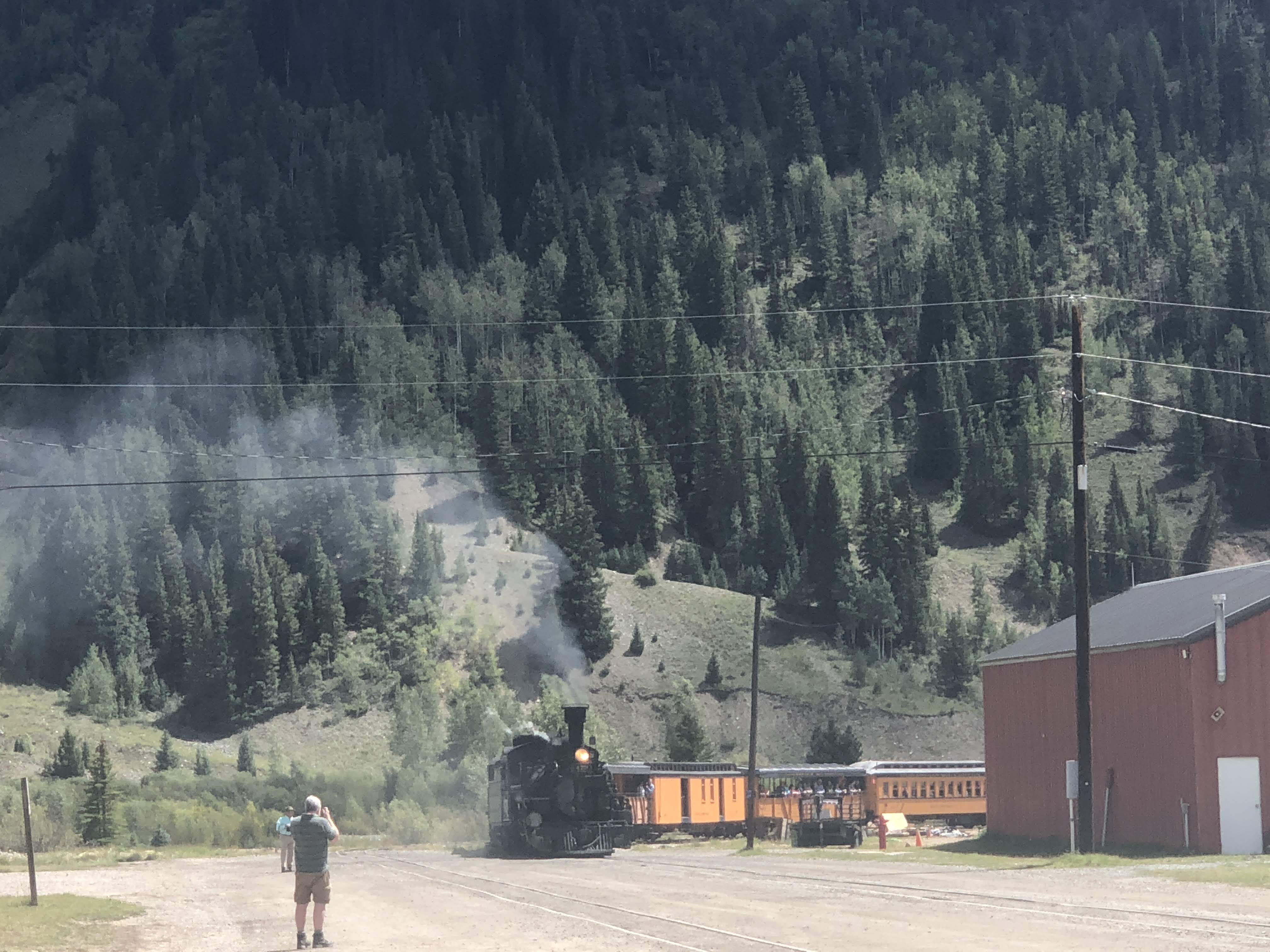
We were up early and out the door at 6:00 am. We hitched a ride with another Airstream couple, and safely arrived back in Durango. We parked, found the depot, and picked up our tickets. A visit to Starbucks for some early morning fortification was also in order…
Then we waited for the arrival of the… Bus!
Yes – we had to take the bus to the train…
Durango was organized in September 1880 to serve the San Juan mining district. The Denver and Rio Grande Railroad (D&RG) chose the site on the Animas River for its depot following a brief and most likely perfunctory negotiation with Animas City, two miles to the north.
The railroad arrived in Durango on August 5, 1881 and construction on the line to Silverton began in the fall of the same year. By July of 1882, the tracks to Silverton were completed, and the train began hauling both freight and passengers.
The line was constructed to haul silver & gold ore from Southwest Colorado’s San Juan Mountains, but passengers soon realized it was the view that was truly precious.
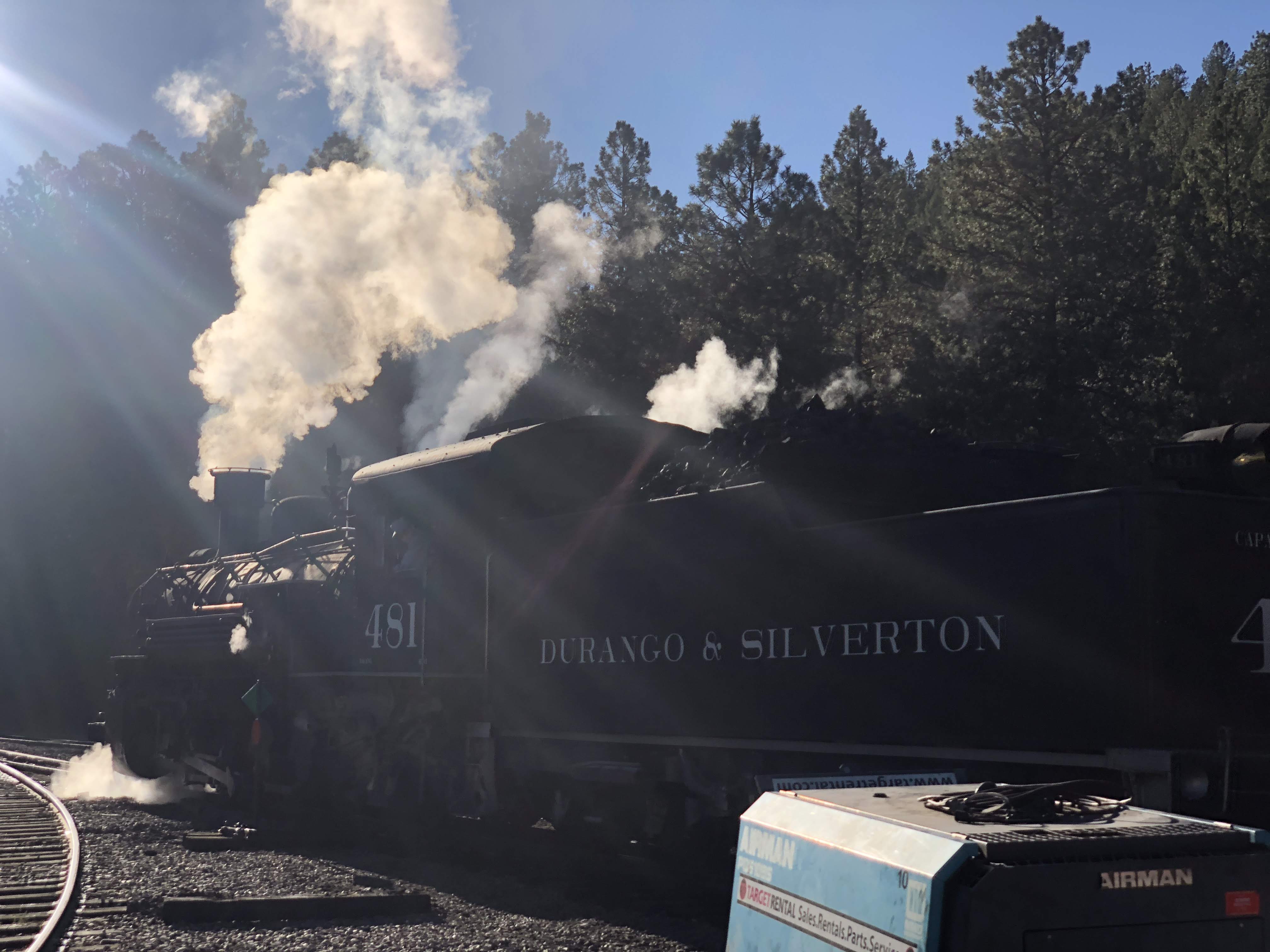
This historic train has been in continuous operation between Durango and Silverton since 1882, carrying passengers behind vintage steam locomotives and rolling stock indigenous to the line. The ride today offers a view of Colorado’s mountain splendor inaccessible by highway.
So after about 30 minutes we arrived at Rockwood station, the OTHER train depot. It seems that mudslides this past July (due to wild fires) have damaged the tracks between Durango and the Rockwood station; this is where we found the train.
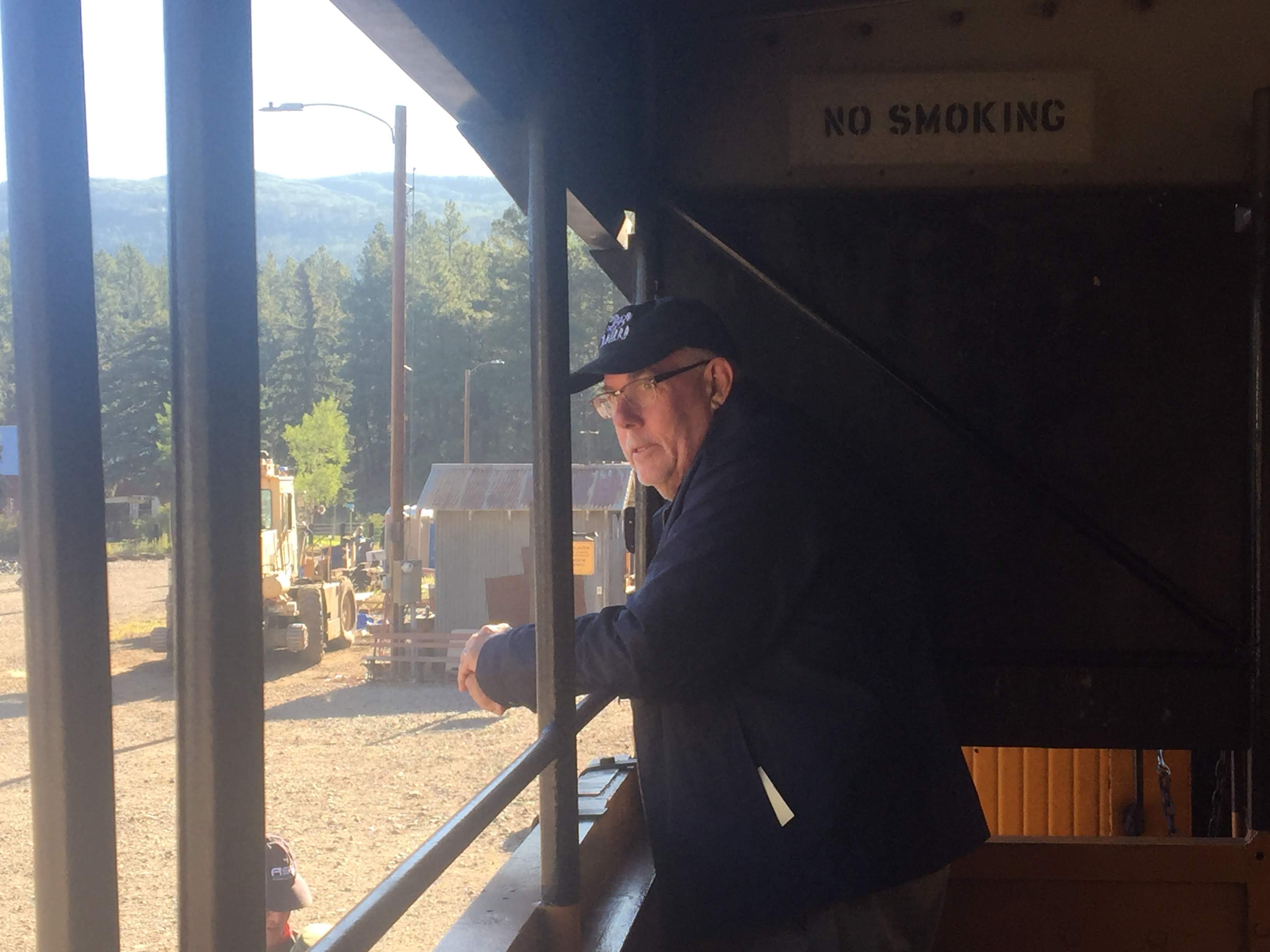
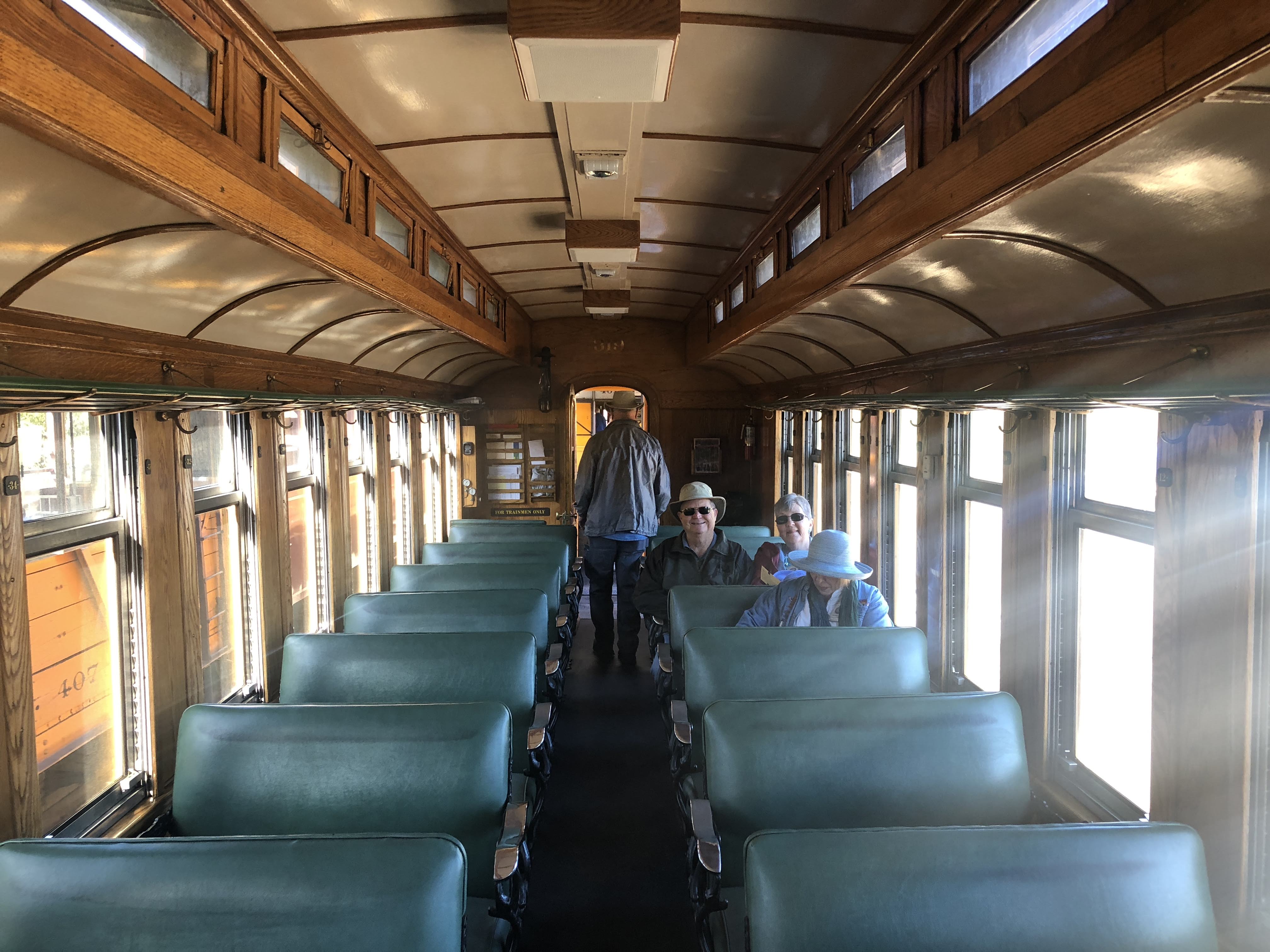
We boarded the train and found our seats. We opted for an open car so that we could take photos…
But the enclosed cars were very nice as well…
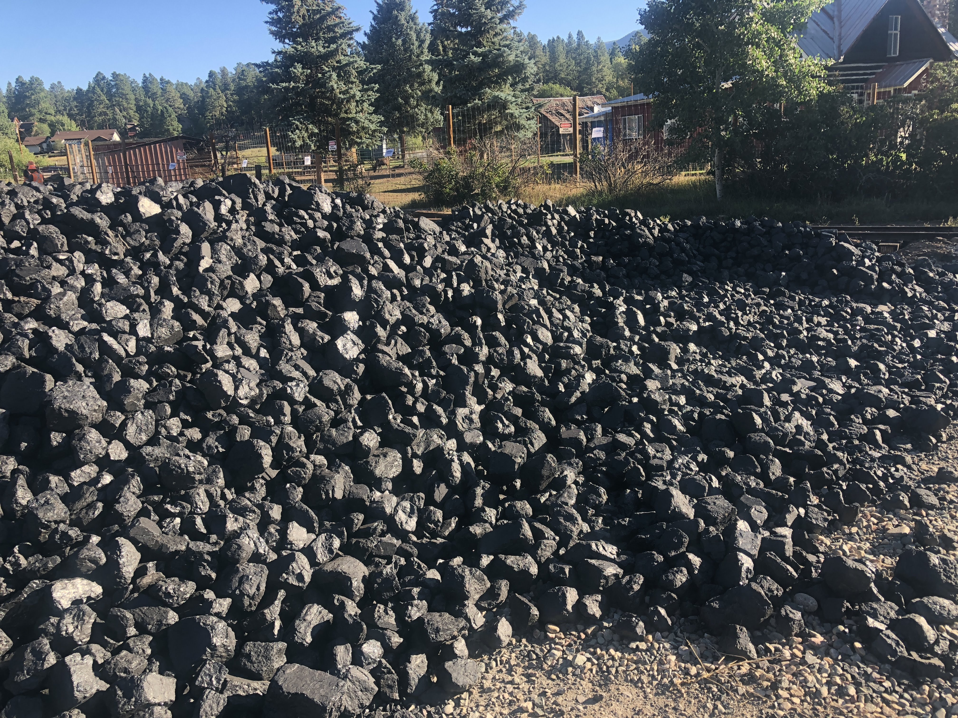
The train takes about 2 1/2 hours from here to get to Silverton. It uses 10,000 gallons of water for each round trip. We will stop twice to take on water… It also uses 6 1/2 tons of coal (hand-shoveled) to make each round trip…
As we pulled out of the station the view was less than spectacular…
Then we turned around and saw what going on on the other side of the train…
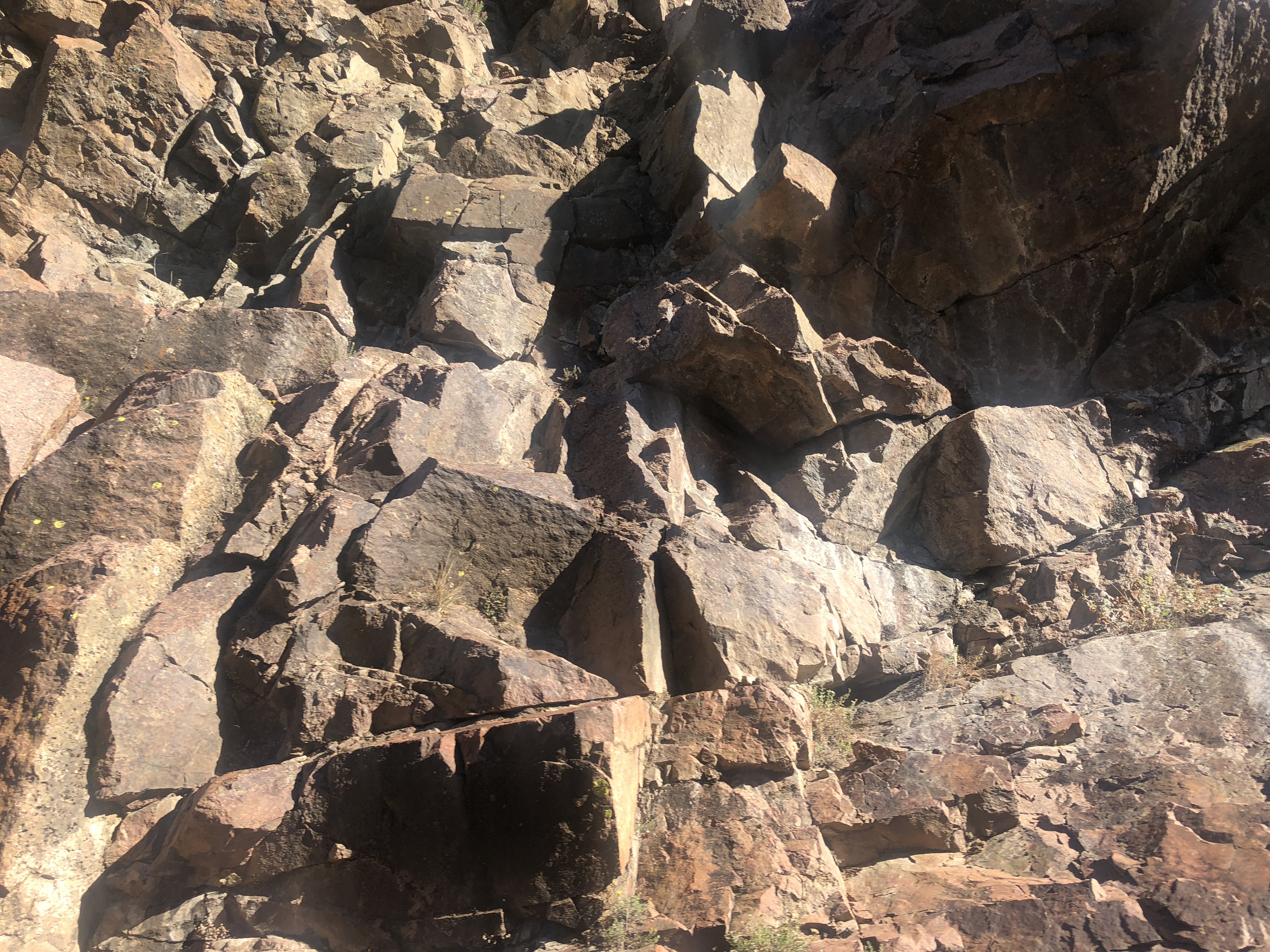
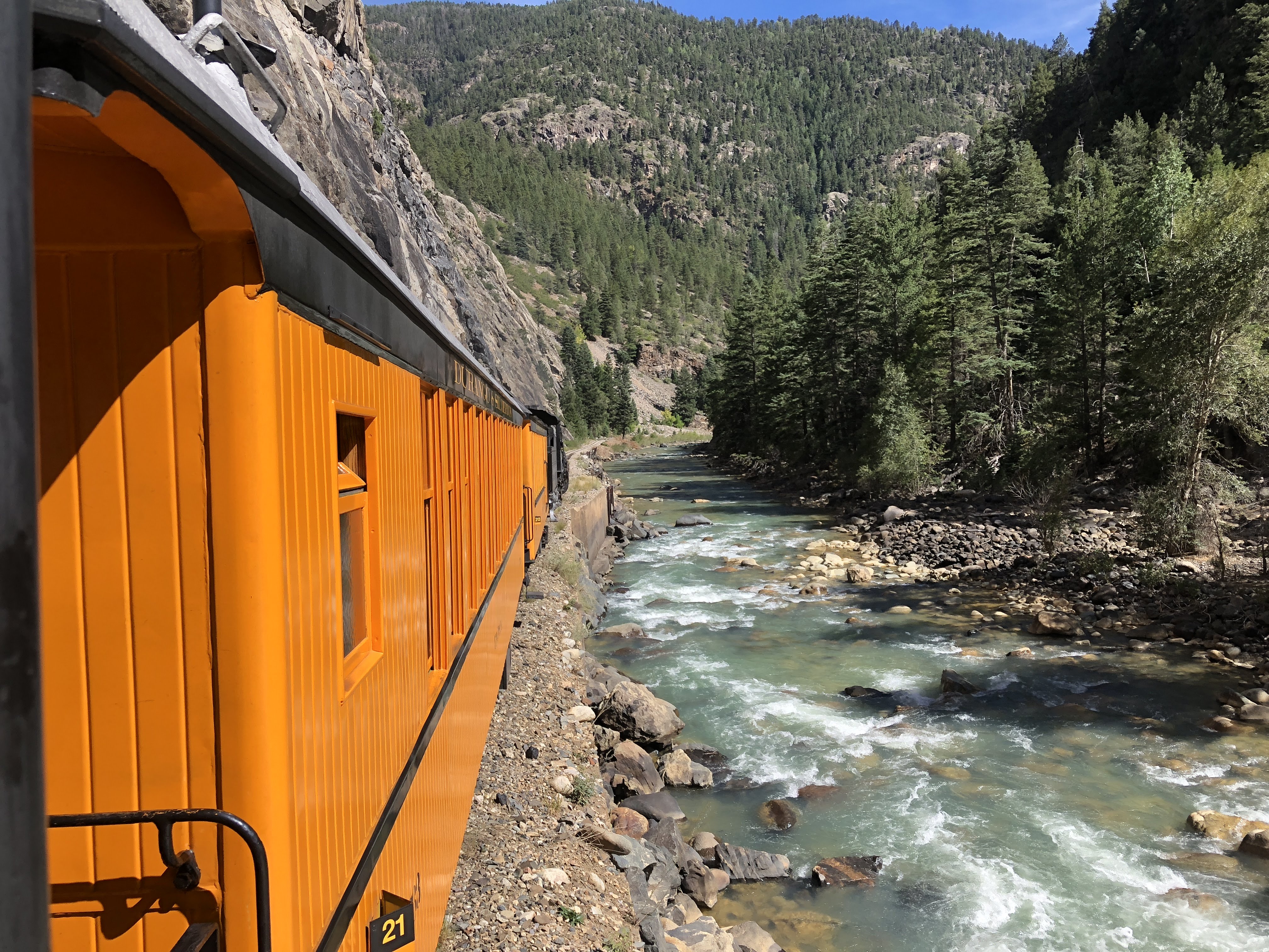
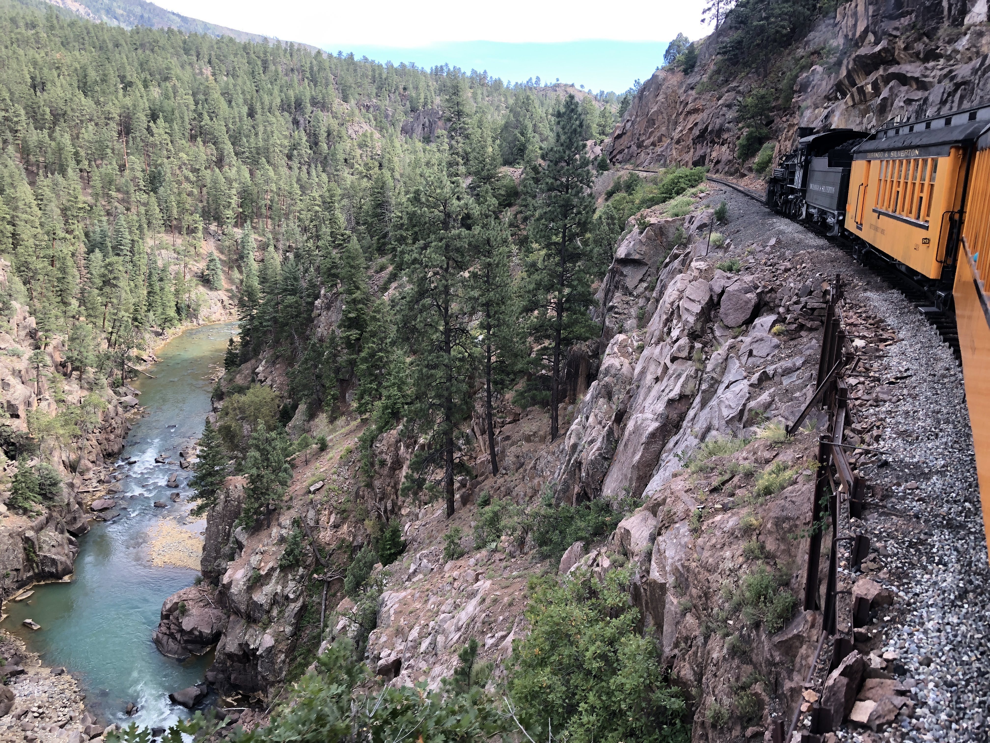
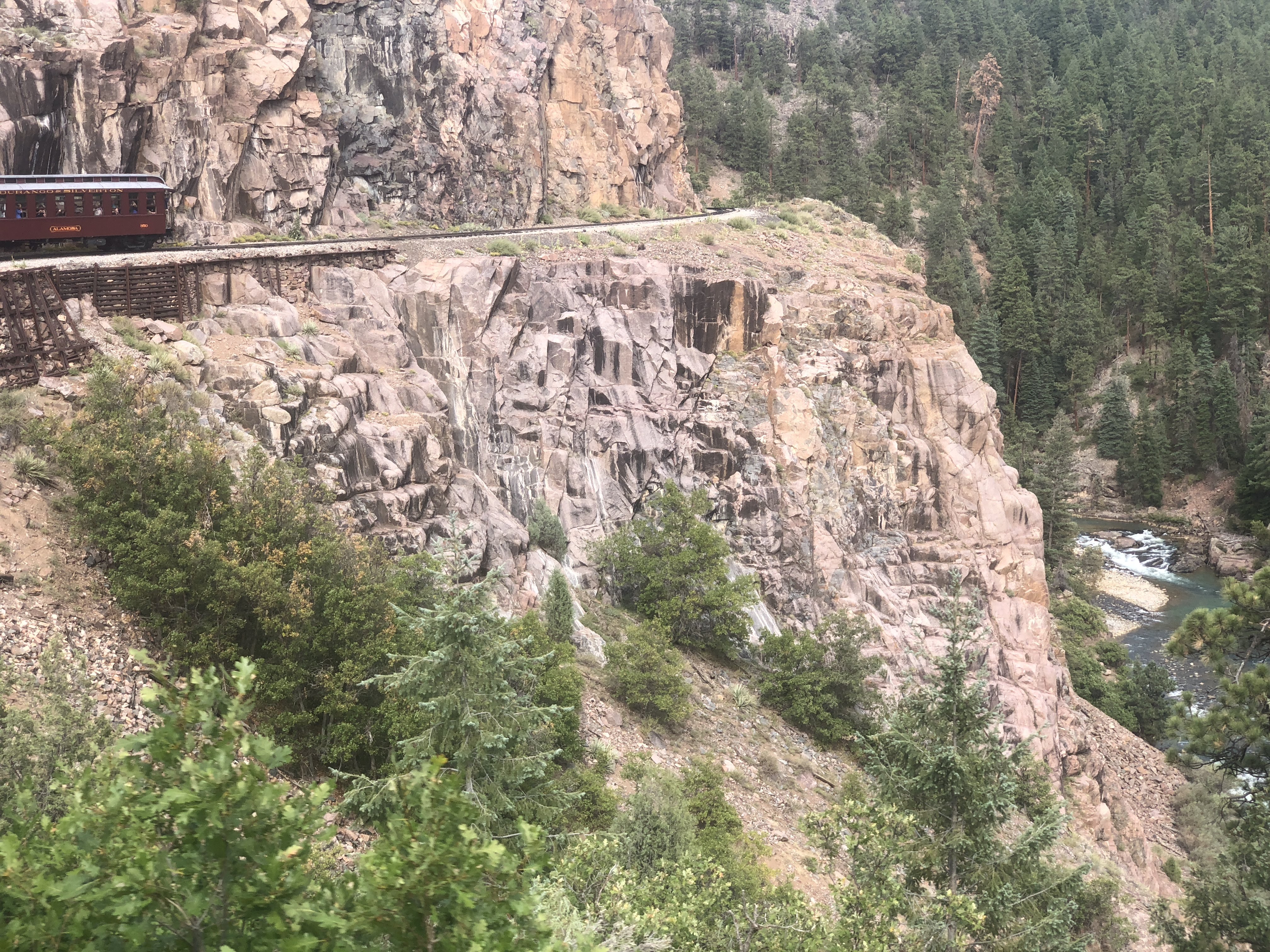
For the next 2 2/1 hours we had views like this – mountains, the Animas River, bridges, rocks… I have 5,000 more photos if you are interested… I’ll try to be gentle here…
Here we are stopping for water… The spigot is ingenious – as the fireman on the train pulls down the spigot it mechanically opens the valve to let the water flow…
We soon came to that part of the river that has still not recovered from the toxic waste “spill” that the EPA intentionally released into the river about three years ago…
As we approached Silverton we saw the remnants of an old mine…
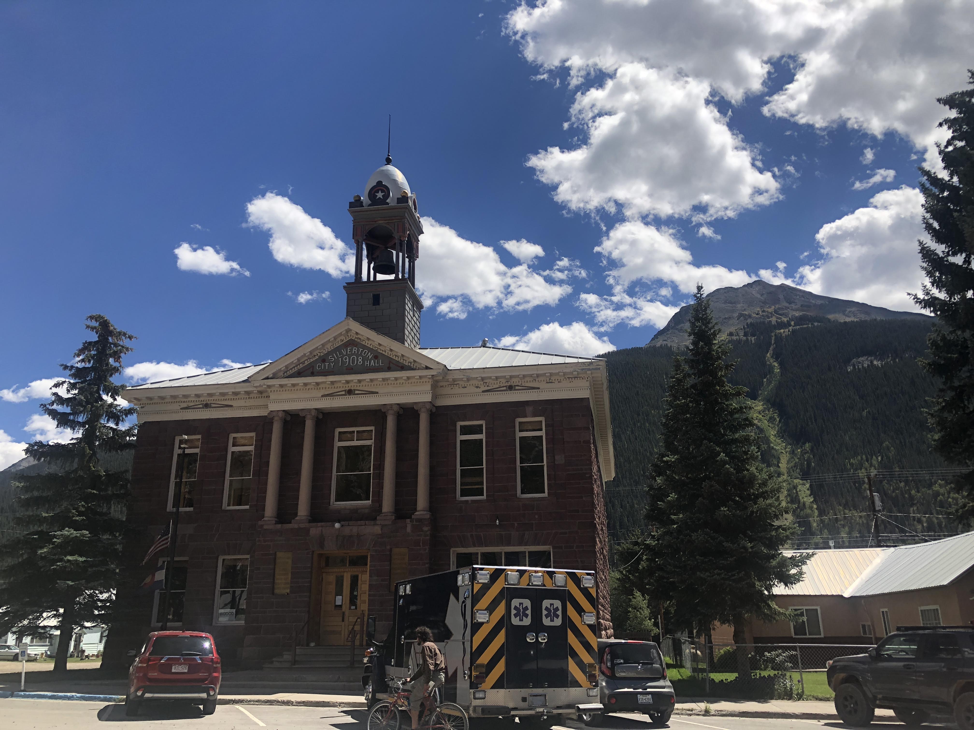
The town of Silverton is the county seat of, and the only incorporated municipality in, San Juan County, Colorado. Silverton is a former silver mining camp, most or all of which is now included in a federally designated National Historic Landmark District. The town population is about 600, and it is at an elevation of 9,318′
The town is about as old west as it gets – many streets are unpaved, buildings are, or look like they are, very old, very old west “architecture”. Most buildings are gift shops or restaurants, plus the marijuana dispensary…
We ate lunch at Handlebar’s Restaurant and Saloon…
After strolling the streets of Silverton and looking at all the junk for sale in the gift shops we returned to wait for the train…
We boarded and enjoyed the same trip as earlier in the day, only backwards…
After we de-trained we rode the bus back to Durango, then rode back to the RV Park. We crashed… and an enjoyable time was had by all…
We had a free day in Durango. We took it easy and caught up on a few chores…
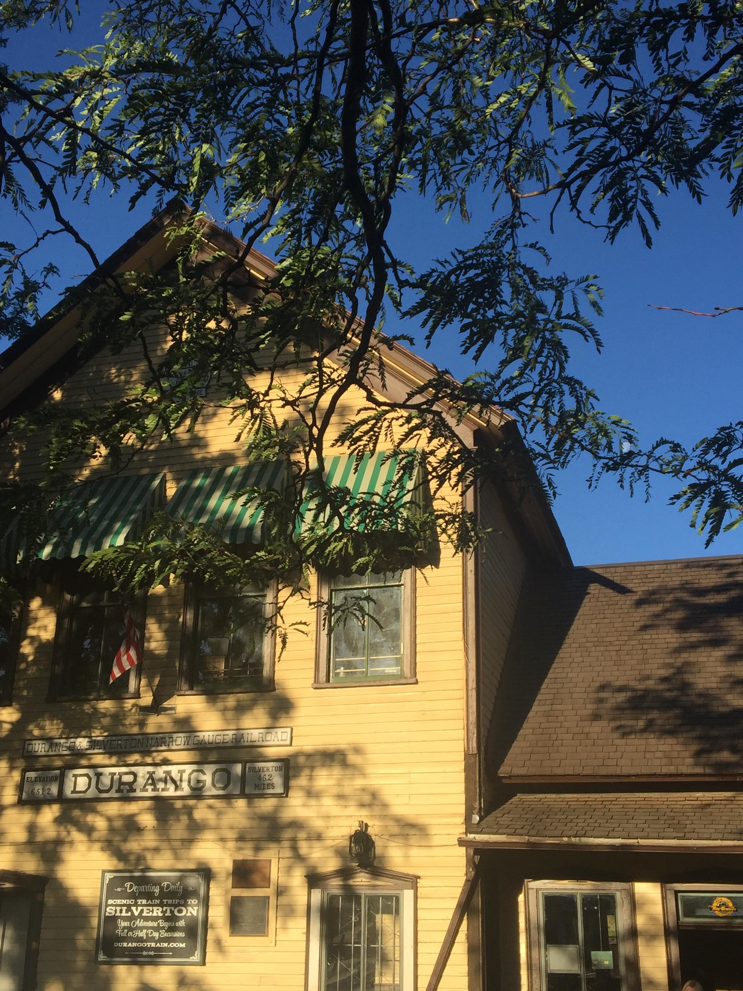
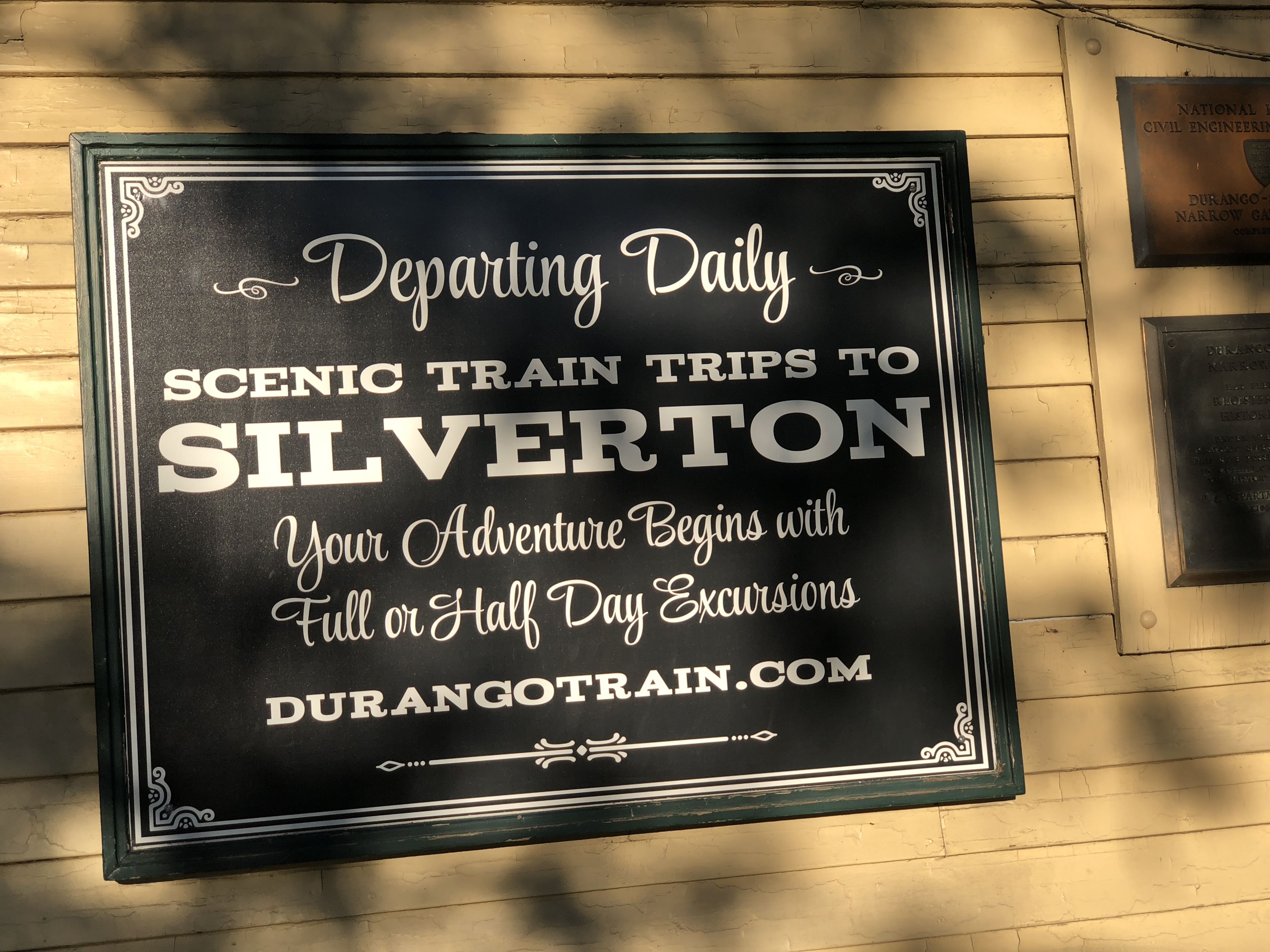
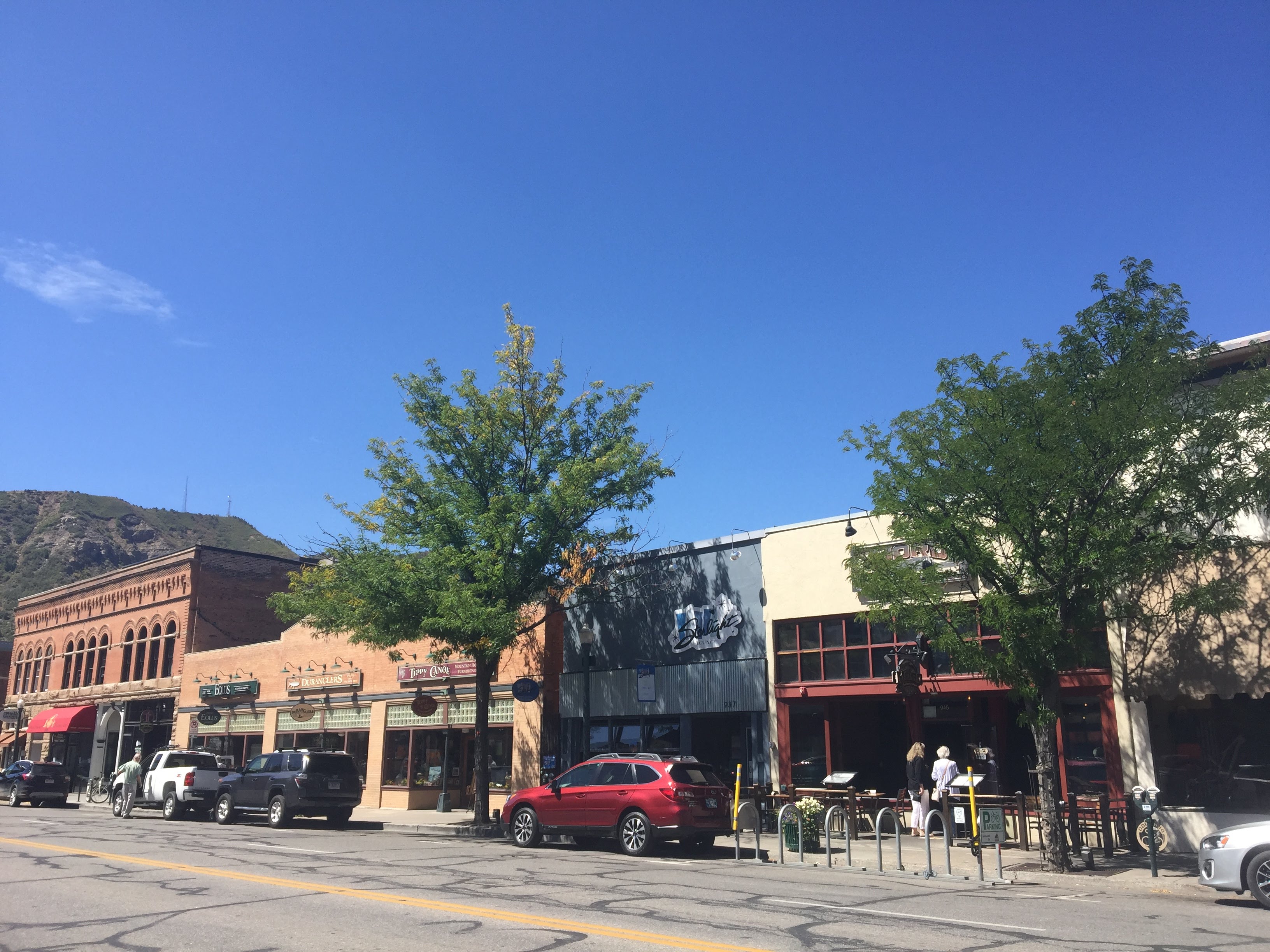
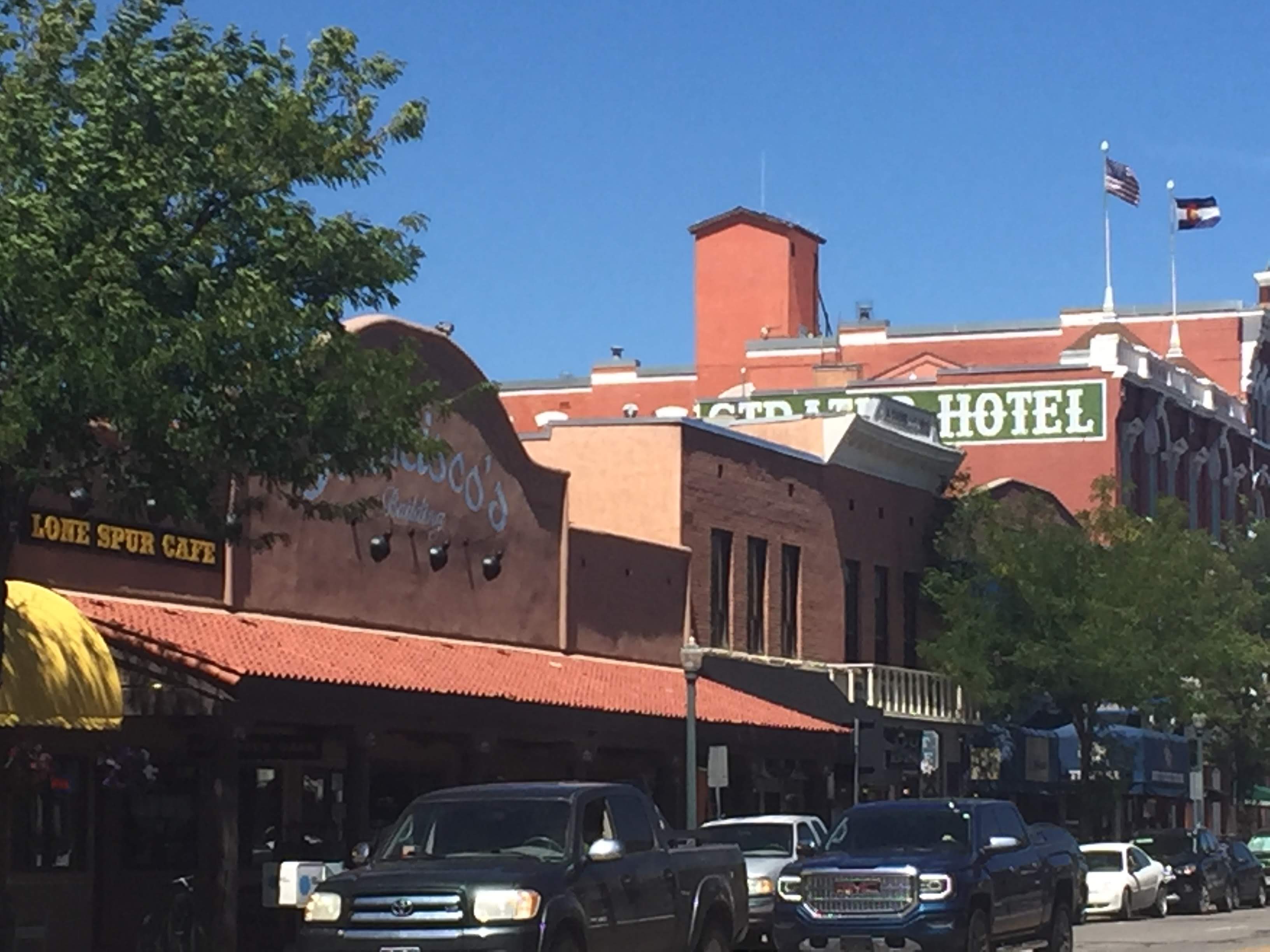
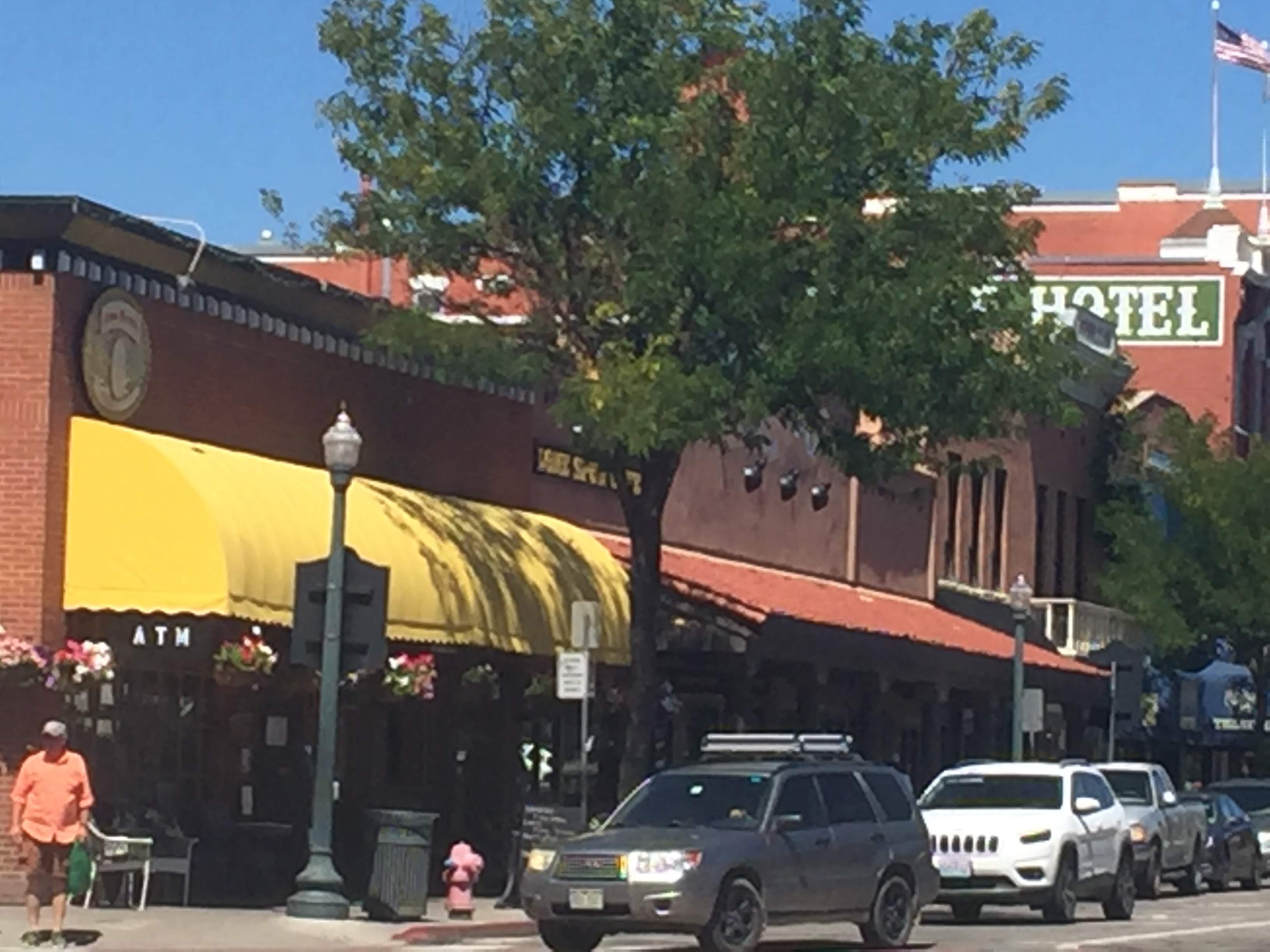
We drove into Durango, about 6 miles away. We checked out the location of the train depot and parking – tomorrow we will be riding the Durango and Silverton Narrow Gauge Rail Road to Silverton, about 45 miles (driving distance) north of here….
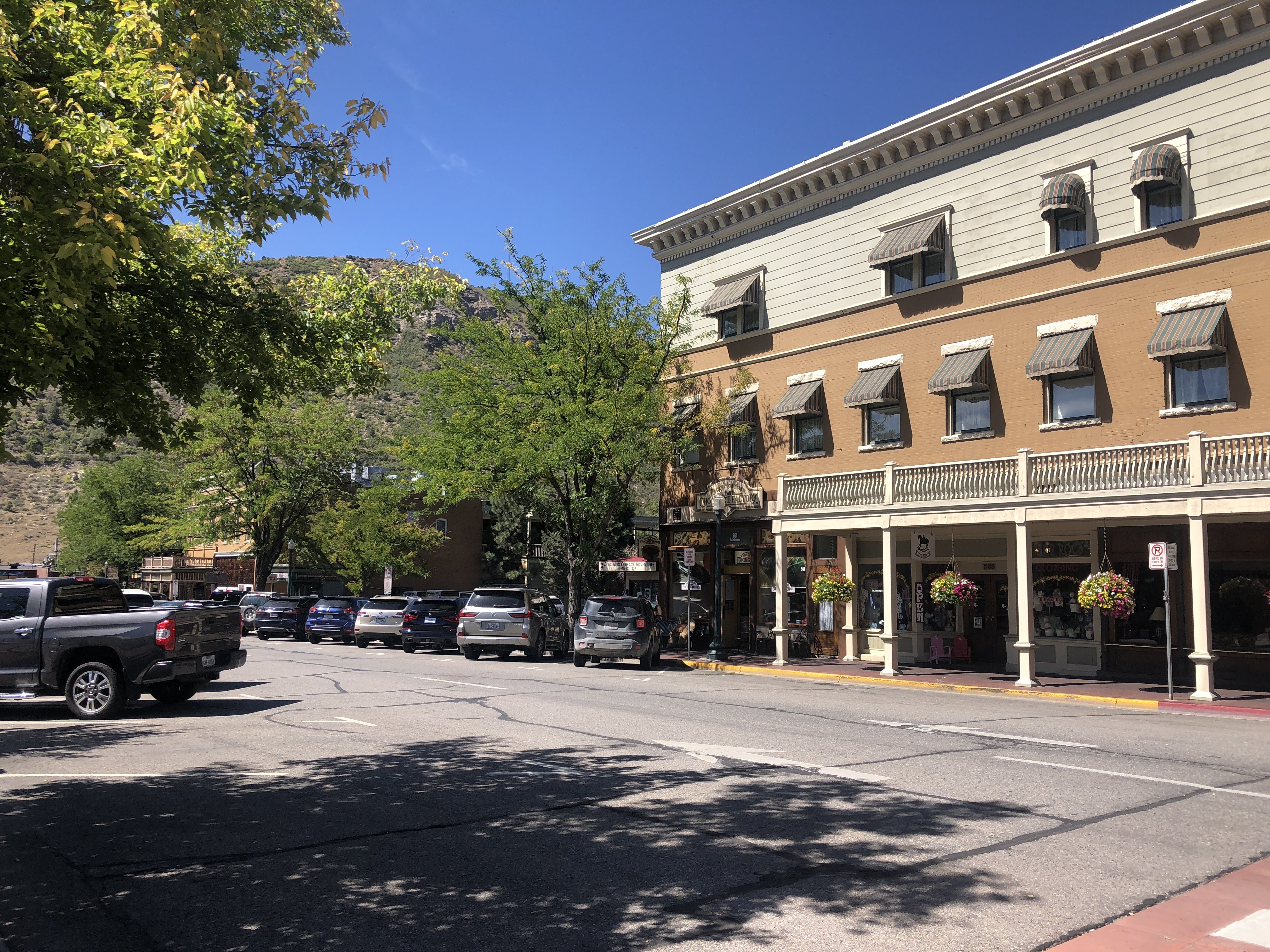
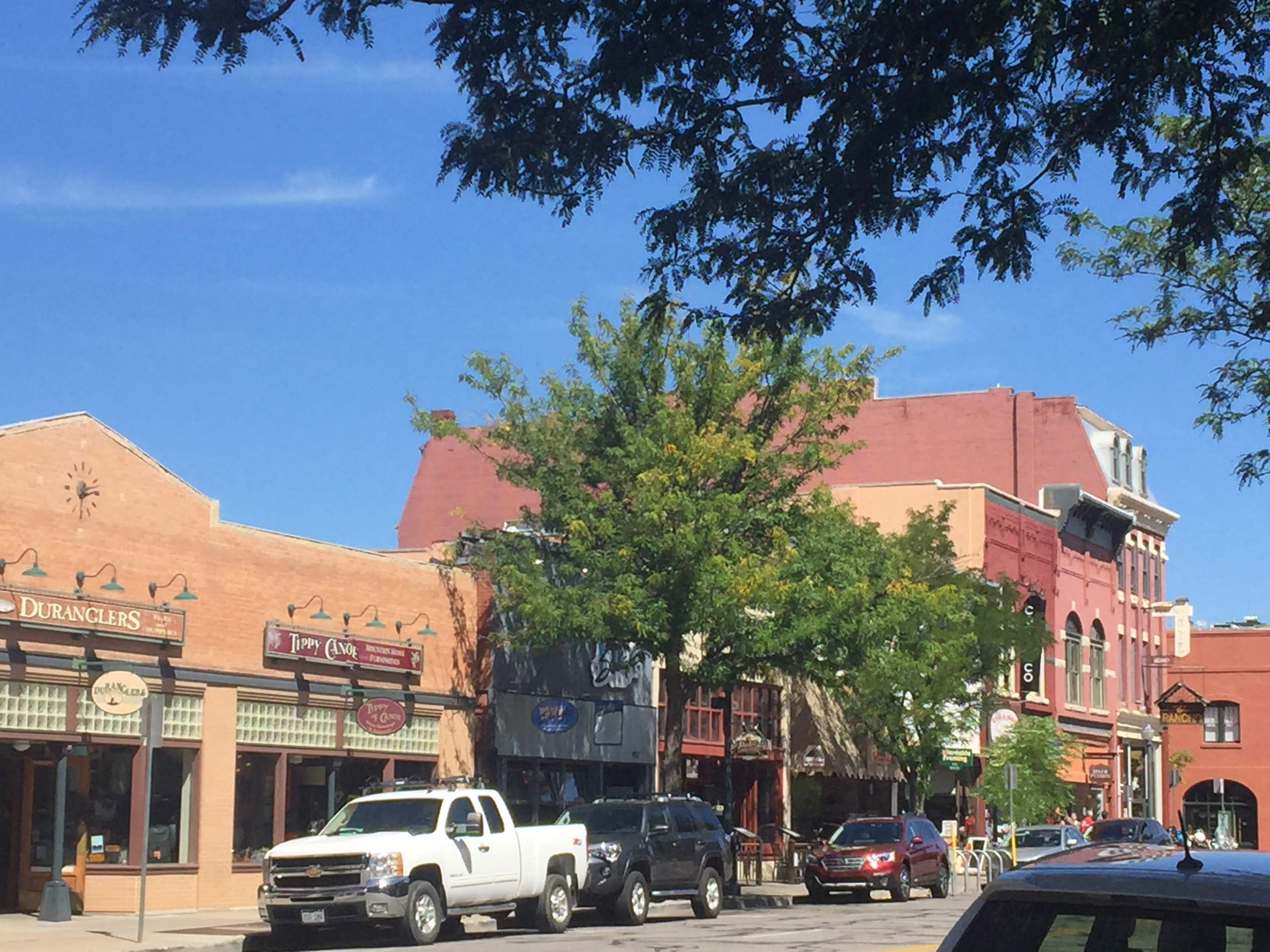
After being satisfied that we could find the depot tomorrow morning at 7:00 am, we walked up and down Main Avenue…
For lunch we stopped in at Ken and Sue’s Restaurant. Very nice contemporary cuisine – what we most often like. I had fabulous angel hair pasta with shrimp and sun dried tomatoes and Lynda had a very innovative pot pie.. We shared a nice bottle of Russian River Valley Pinot Noir…
Back at the RV Park, we relaxed and did nothing. At 5:00 we had another Fandango, where we enjoyed happy hours and met two more Airstream couples.
We turned in early; we need to be ready to go in the morning at 6:30 am…