It was great to spend these few days aong the Columbia River, but today we head to the mountains.
As I mentioned yesterday, in the day of the wagon trains the actual trail had ended at The Dalles. Since there were no dams, the river was a wild raging beast, flowing from canyon wall to canyon wall. The emigrants dismantled their wagons and used the wood to build rafts. They attempted to float down the river. Some even made it, but many lost everything. A man named Barlow thought he had a solution; he found a trail up over the mountains, from Hood River and around Mt. Hood. And he made it a toll road, so he made a lot of money…
Today we followed that trail…
We followed the road through the town of Hood River. It would up the slopes of the Cascade mountains…
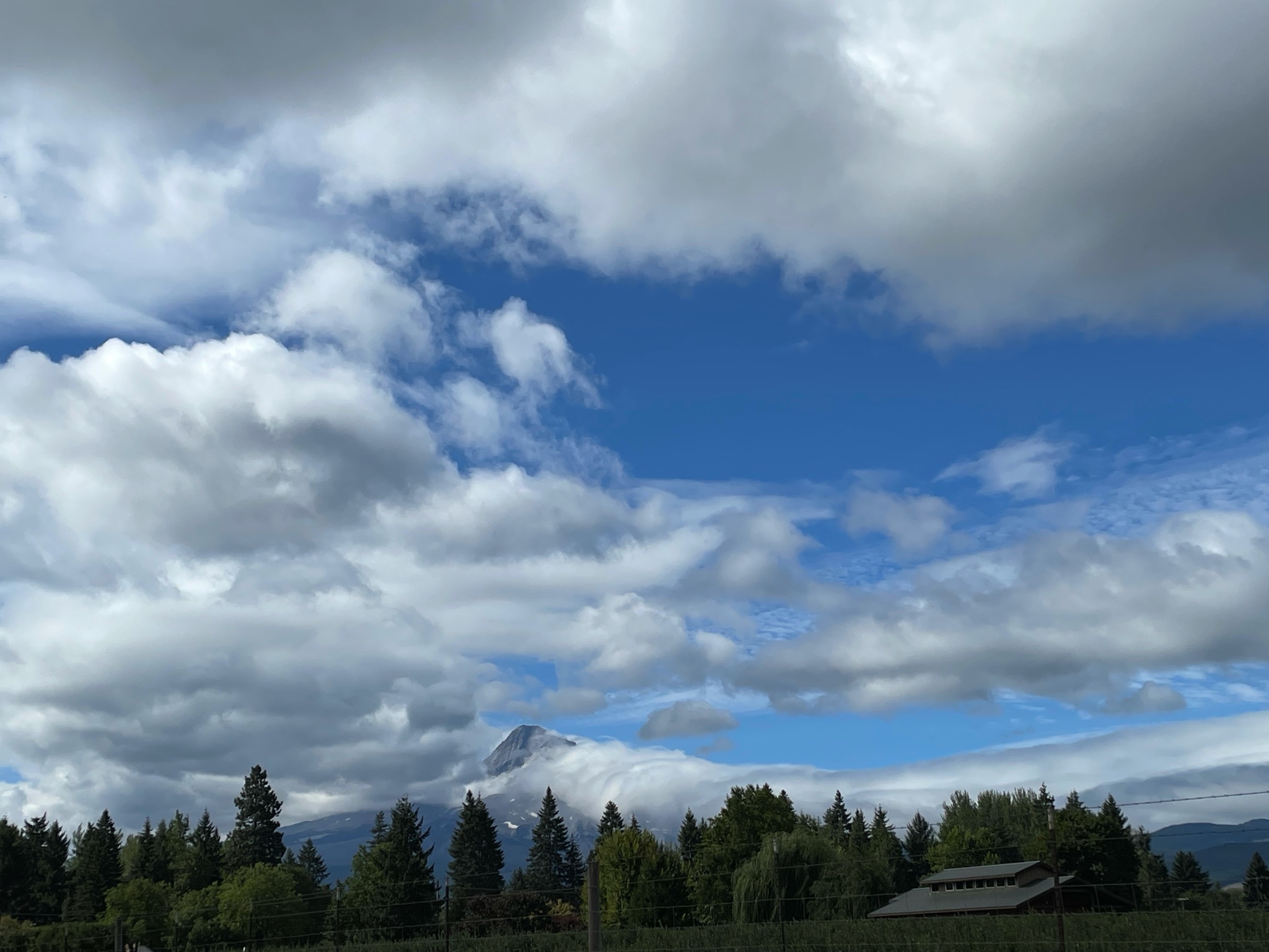
We almost caught a glimpse of Mt. Hood…
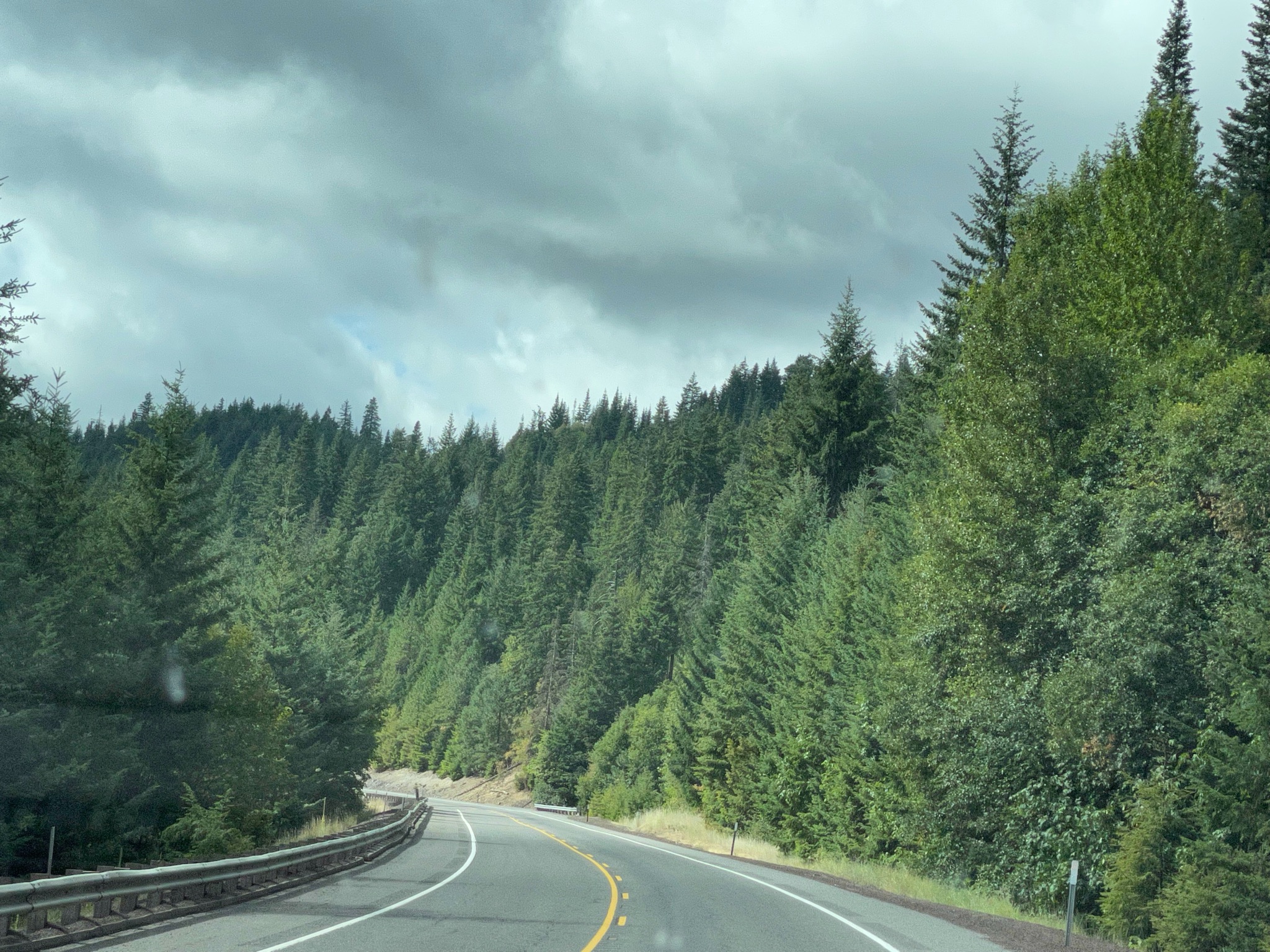
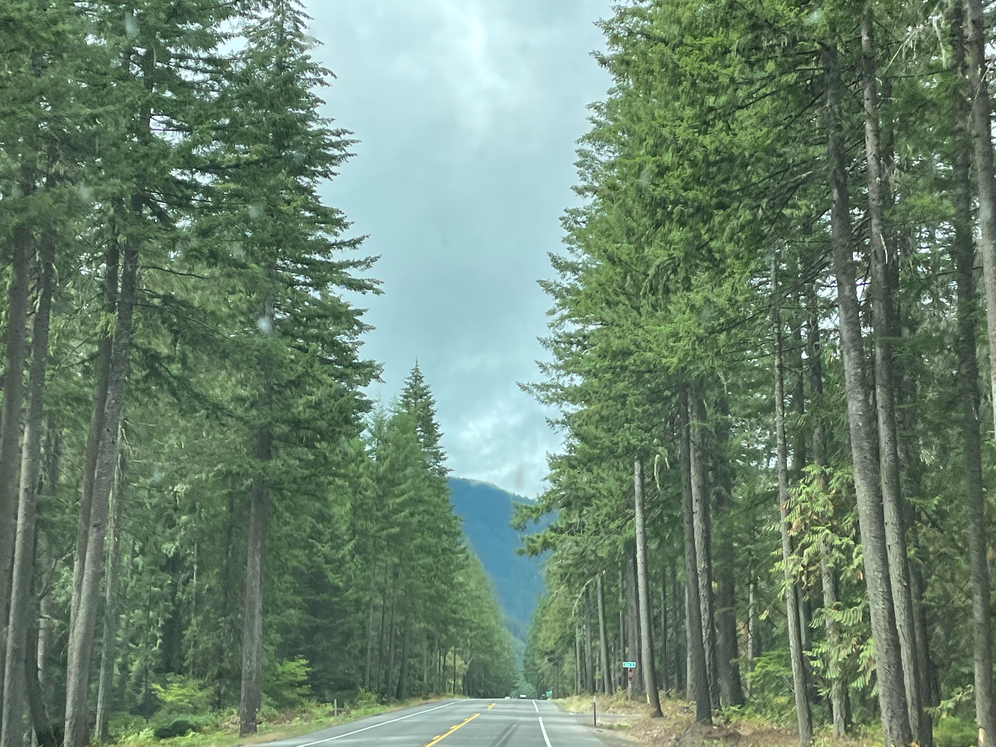
It was a beautiful drive, past wineries and forests…
At the base of Mt. Hood is the Glacier Public House – a convenient stop for lunch…
After lunch we continue along the trail established by Mr. Barlow… His road was eventually completed and it was the heaviest, most used method for bringing a wagon over the Cascade Mountains…
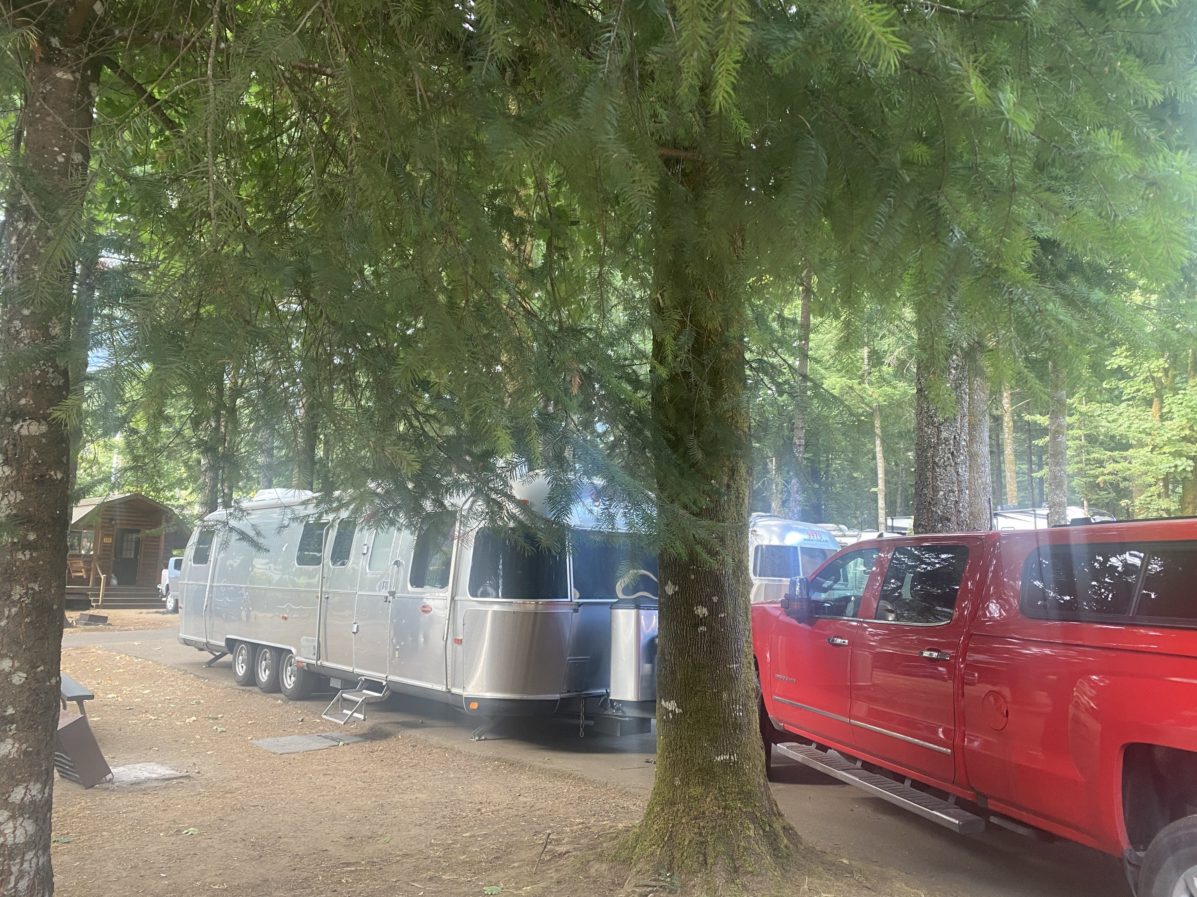
We found our campground – another gloomy, heavily forested place… We set up the Villa…
We escaped the doom and gloom of the RV park and headed to Portland! It will be good to do an urban hike and find a nice hip place for lunch…
We passed by the Bridge of the Gods, a National Historical Monument, crossing the Columbia River.
We enjoyed marvelous views of the Columbia River in the morning; we drove along a scenic parkway as we headed into Portland.
However, when the Oregon Trail emigrants came through here 170 years ago this was not the case. The Columbia has many dams on it and it looks like a placid lake. Railroads and highways have been built on levies and cut into the shear rock walls. When the emigrants were here it was a wild raging river. The wagon trail stopped at The Dalles, and only a single cow path continued on in to the Willamette Valley. More on this saga tomorrow…
Today was urban hiking day. We walked and walked all over the district or neighborhood called the Pearl… We enjoyed lunch at a sidewalk café and pretended that we were hipster urbanites…
Thirty years ago this area consisted of derelict railyards and warehouses. When the rails were removed the warehouses were remodeled into stores, office, and apartments. Then new apartments and condos were built. Today it is all built up into a marvelous mixed use neighborhood…
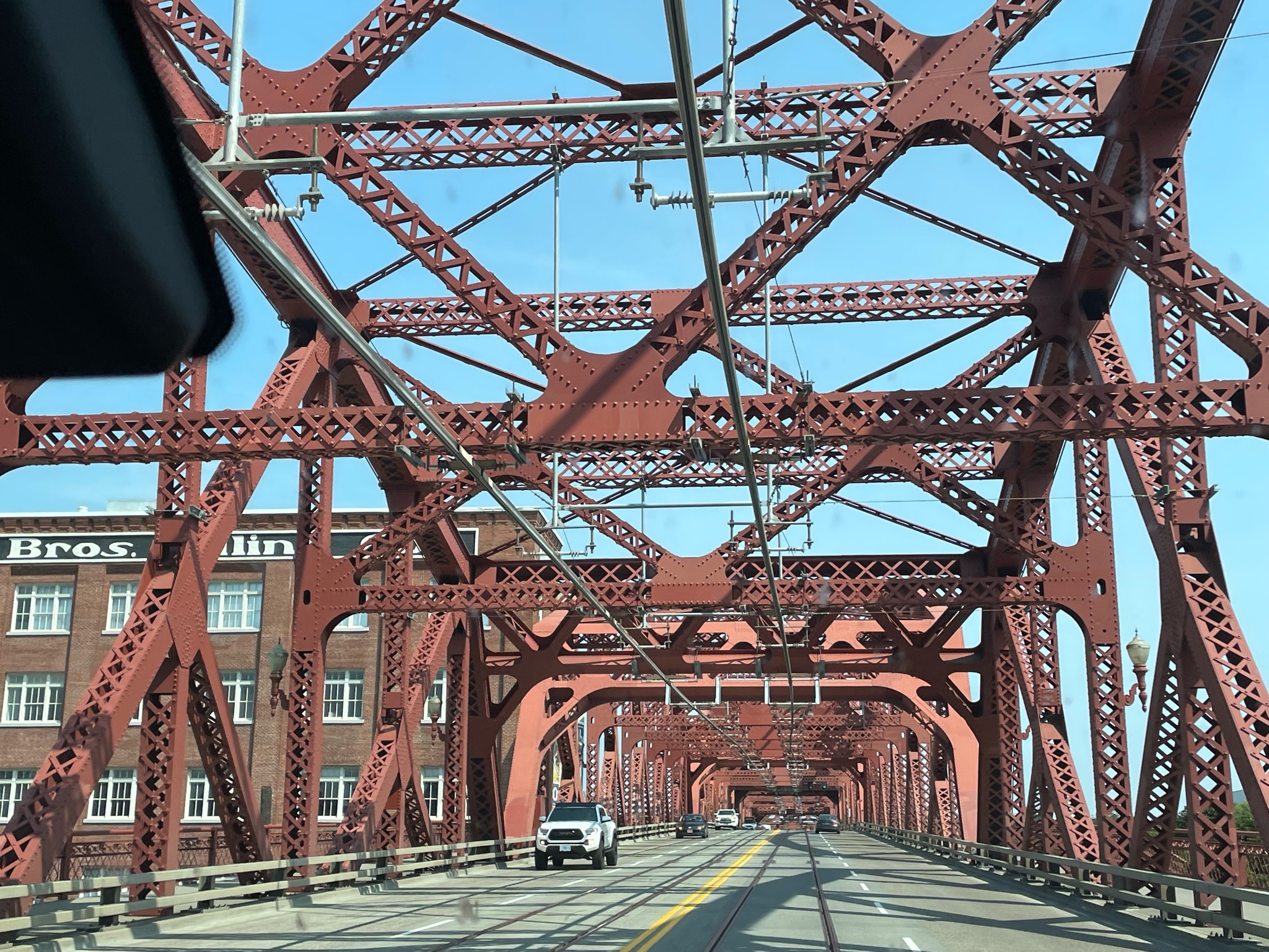
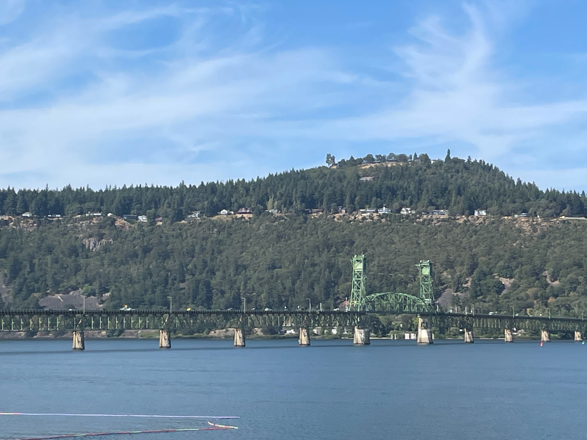
We headed back towards the Cascade Locks, driving over some great old bridges…
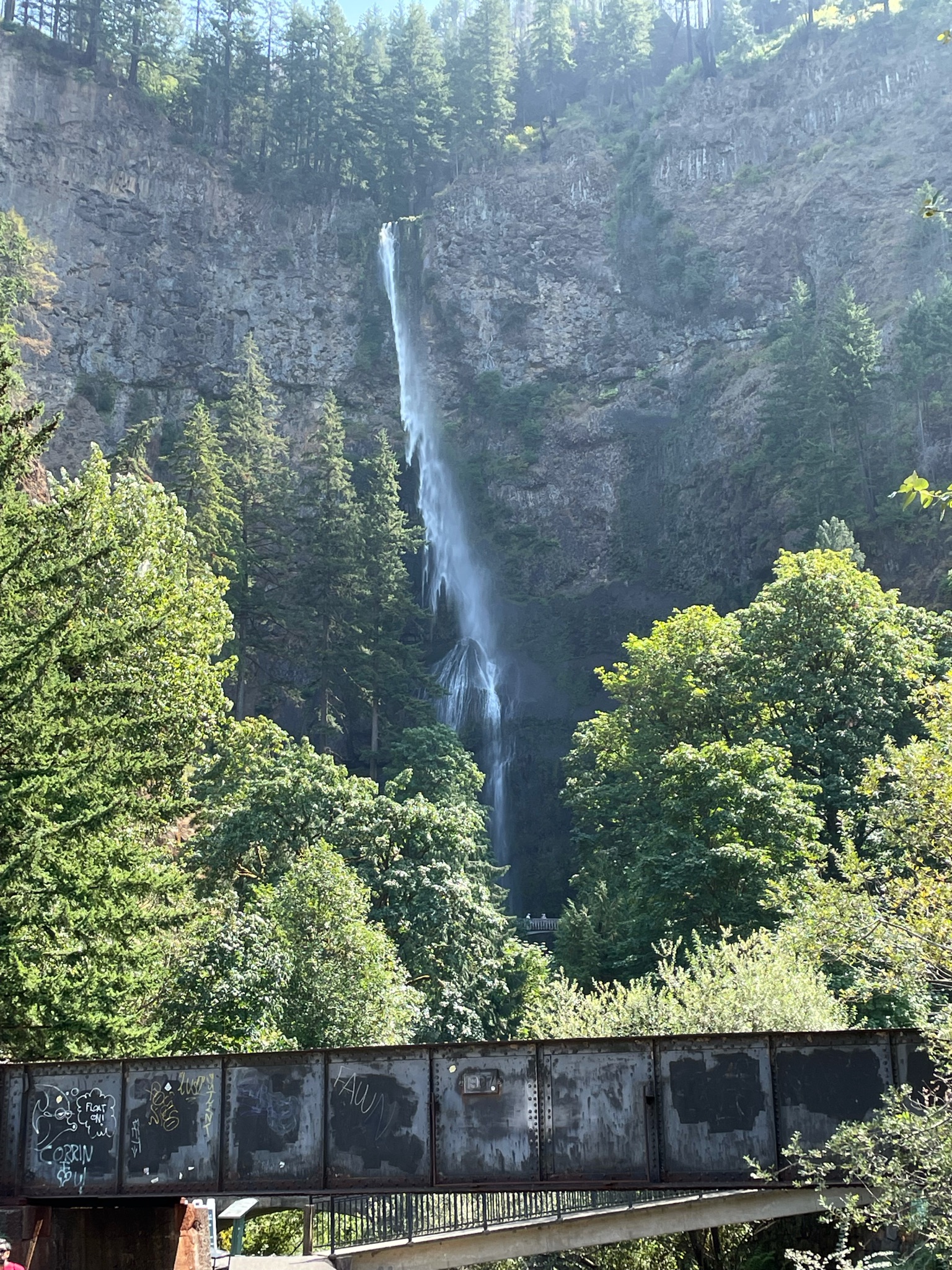
We stopped of briefly to see Multnomah Falls…
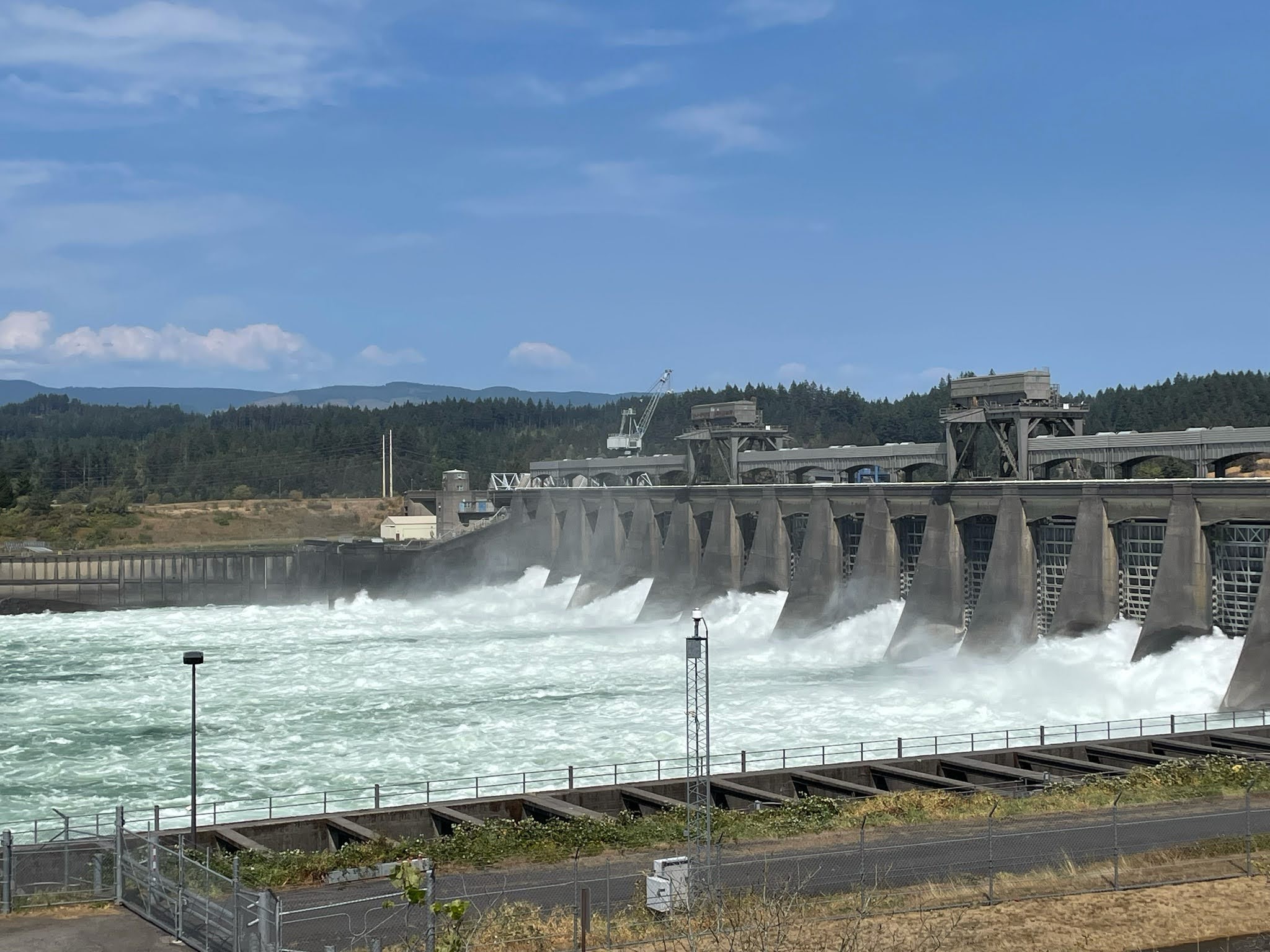
And then we stopped at the Bonneville Dam…
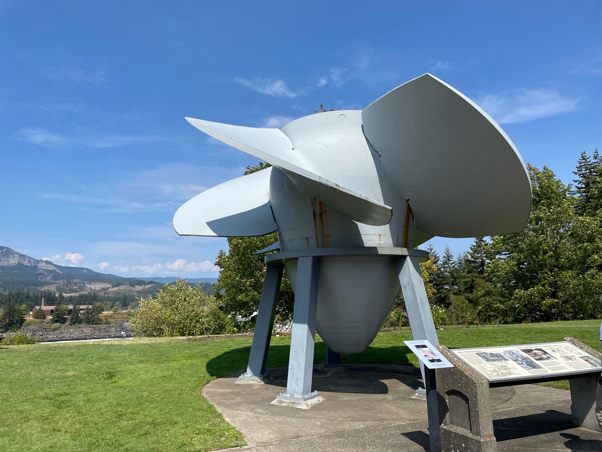
One of the first thing we saw was this turbine. It is a giant propeller that is driven by the flow of the water, and the turbine in turn rotates the generator, producing electricity… It is about 15′ tall. Family note here: My father used to build full size “models” of things like this, but out of wood. The wood model is used to make the die, or mold, into which molten metal is poured to produce the turbine…)
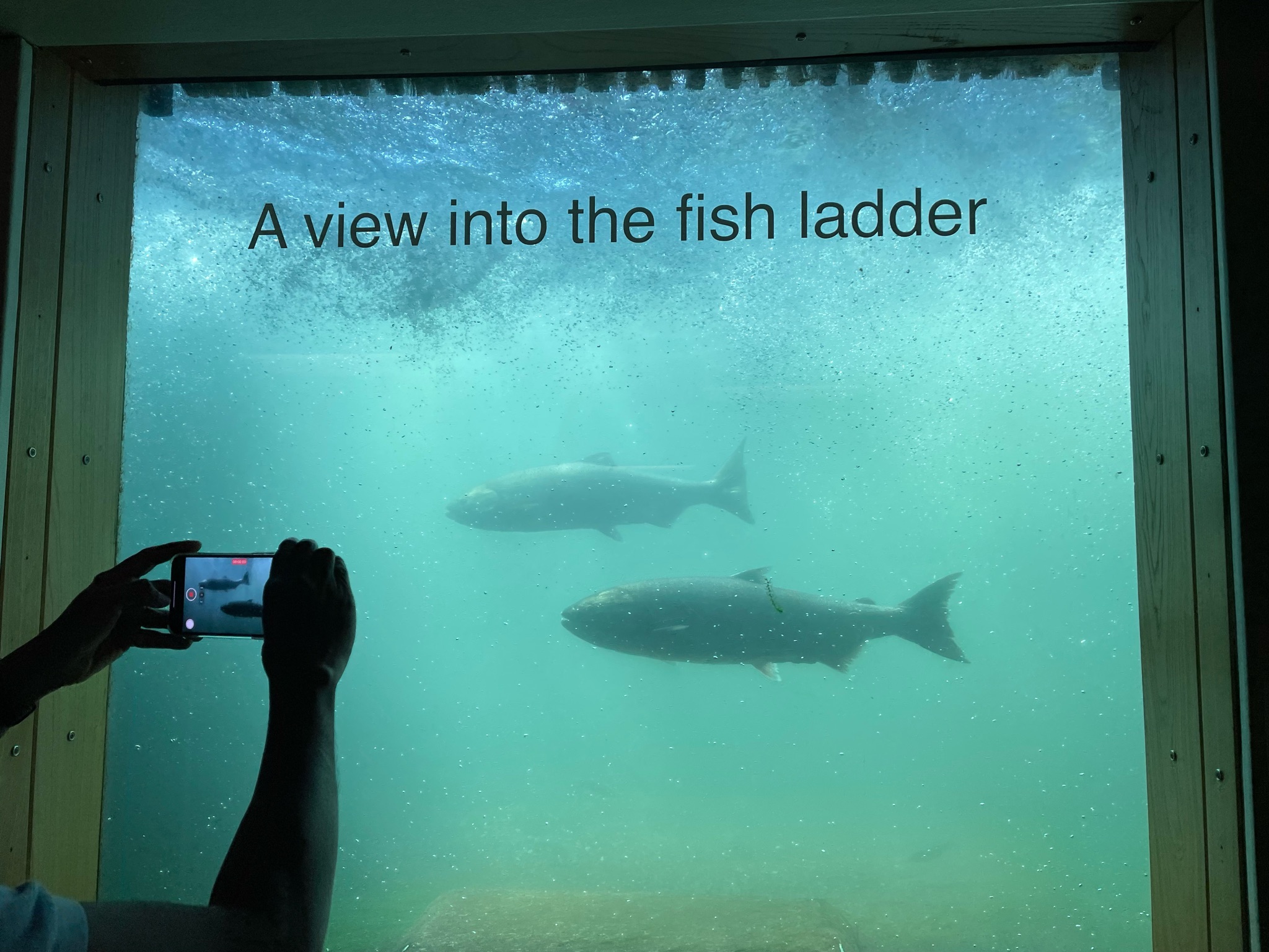
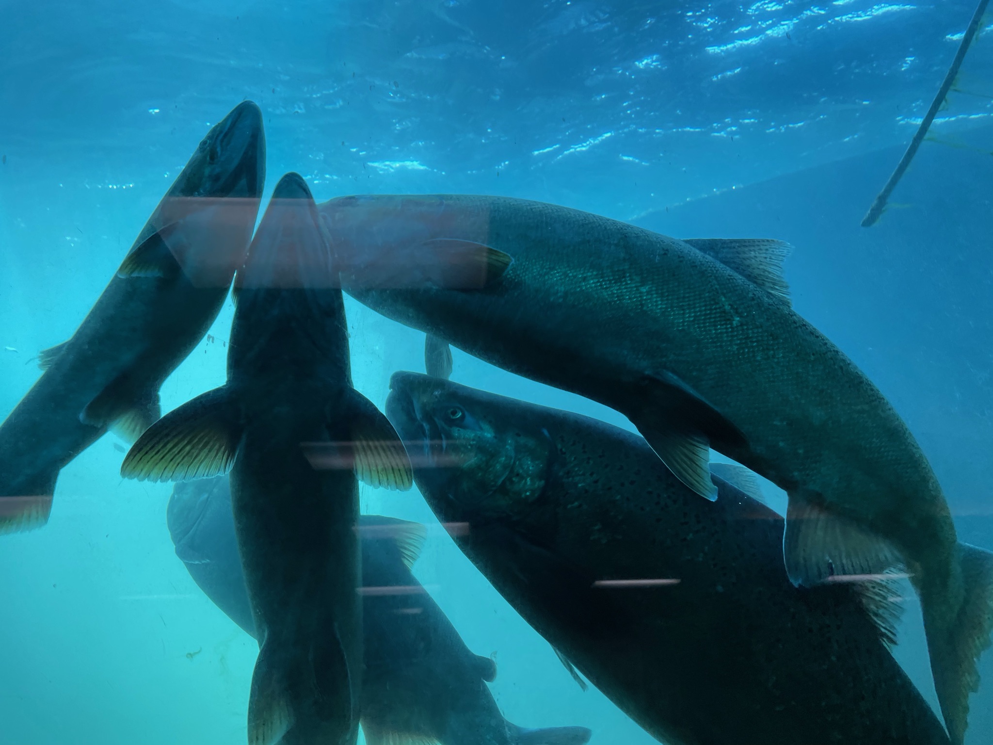
A fascinating thing is the fish ladder. The Columbia River is a huge spawning ground for salmon returning from the sea. Dams block their path. When the dam was built in 1936 the fish ladder was very primitive and experimental. However, when the dam was expanded by adding a second power house they installed a state of the art fish ladder. It is directly adjacent to the Visitors Center… The are underwater windows so you can watch the fish swim by…
The even count all the fish…
This is what the fish ladder looks like from the top…
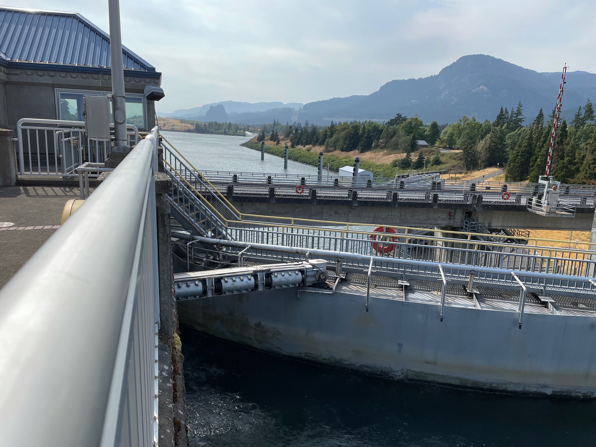
On our way out we stopped in to see the navigation locks. These locks allow giant barges to pass through the dam…
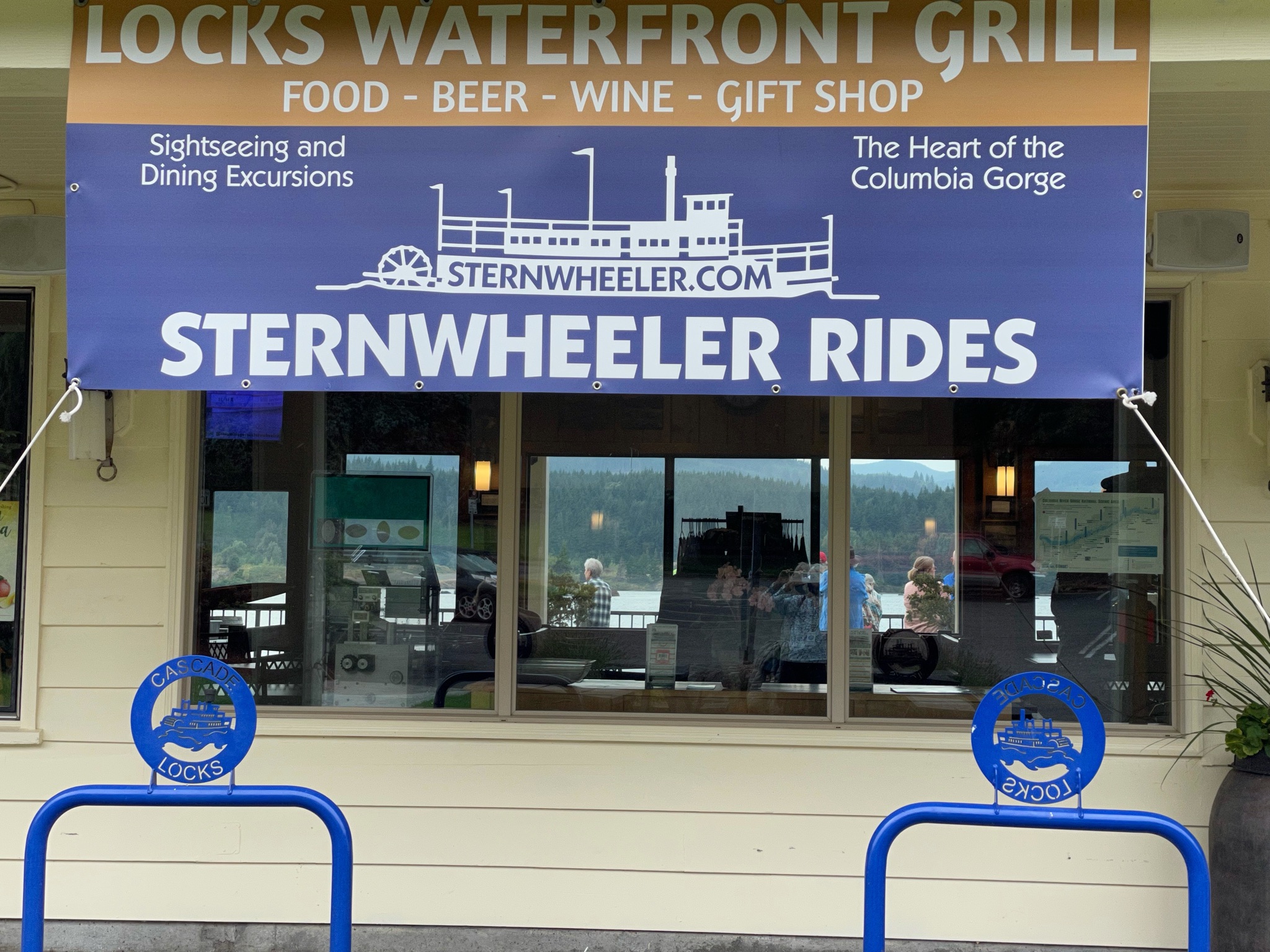
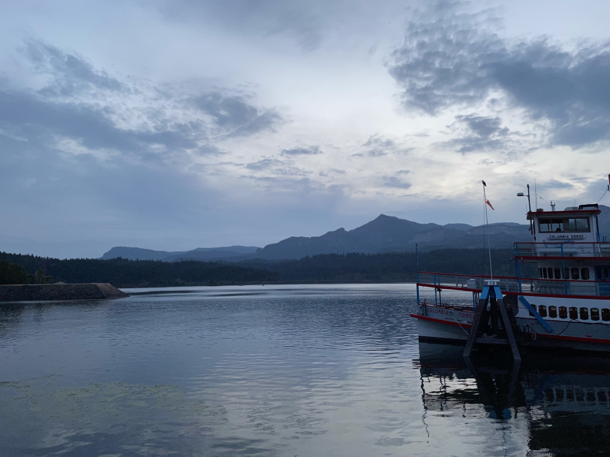
Our final adventure of the day is a dinner cruise on this historic sternwheeler river boat. Except, it was broken…
But we met up at the cafe and waited for all the Airstreamers to arrive…
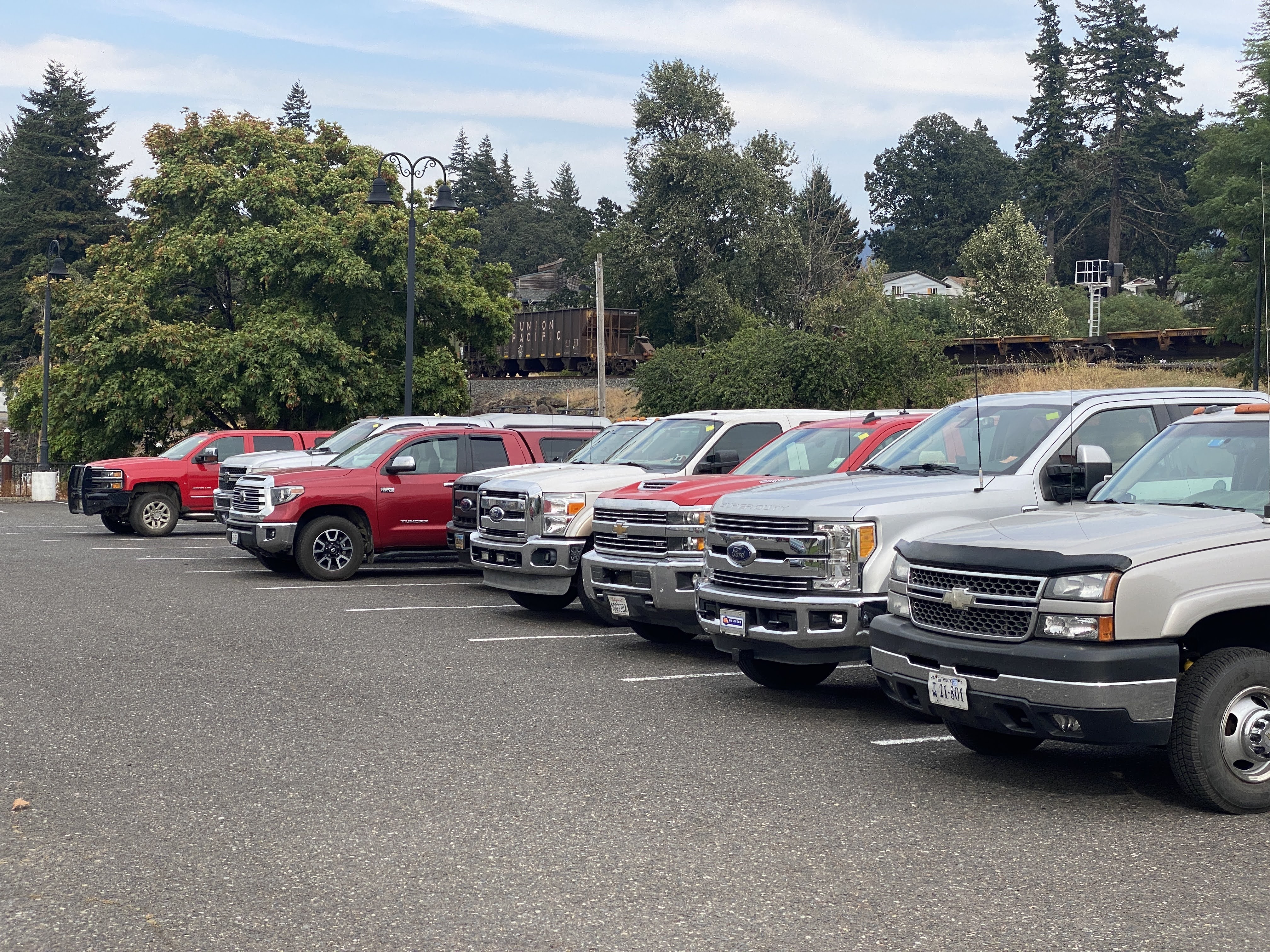
And here are the pickup trucks in which the Airstreamers arrived…
No, this is not our substitute boat…
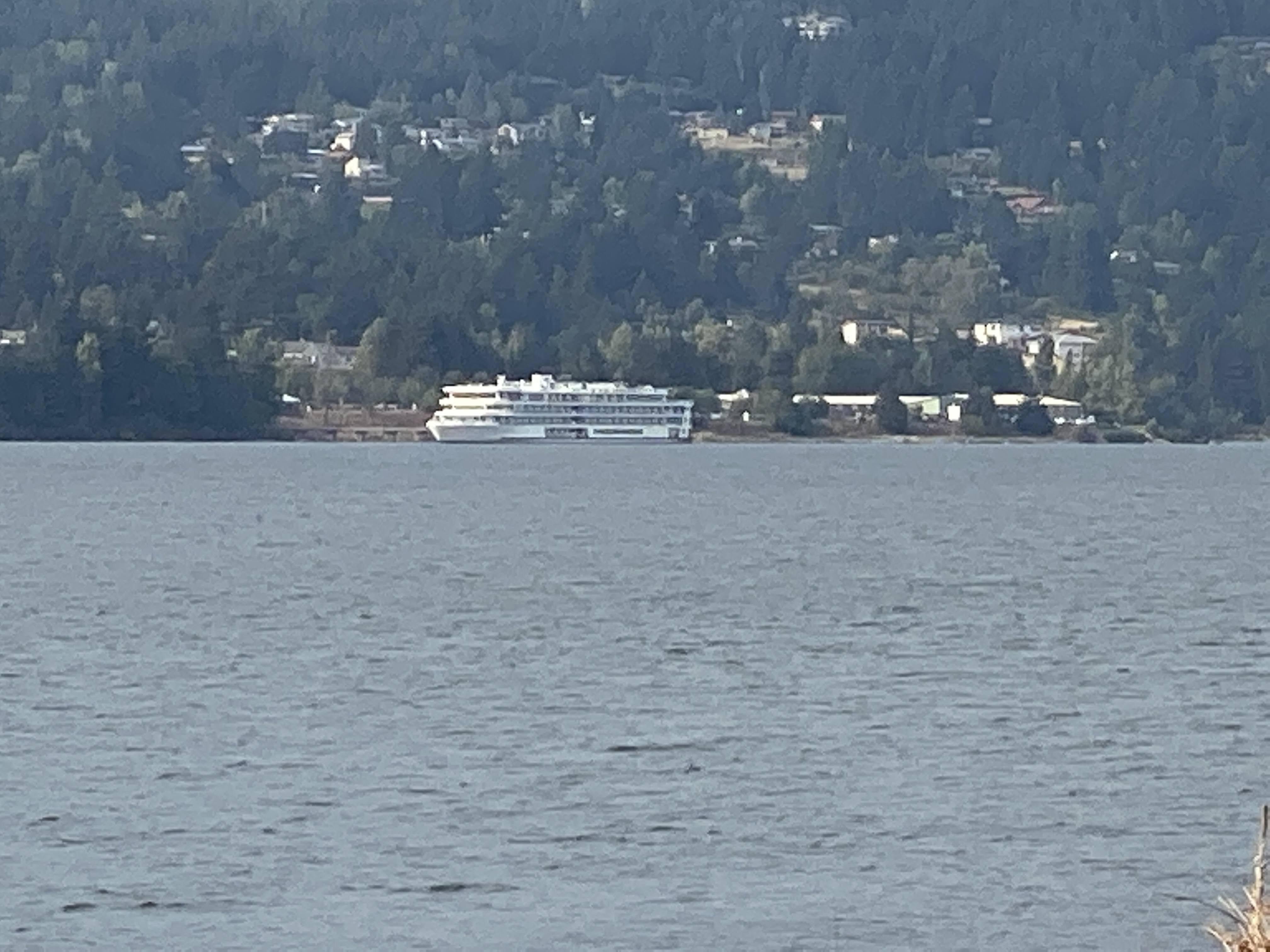
But, hiding behind the broken sternwheeler is our substitute boat…
Inside was quite comfortable and we all gathered for dinner…
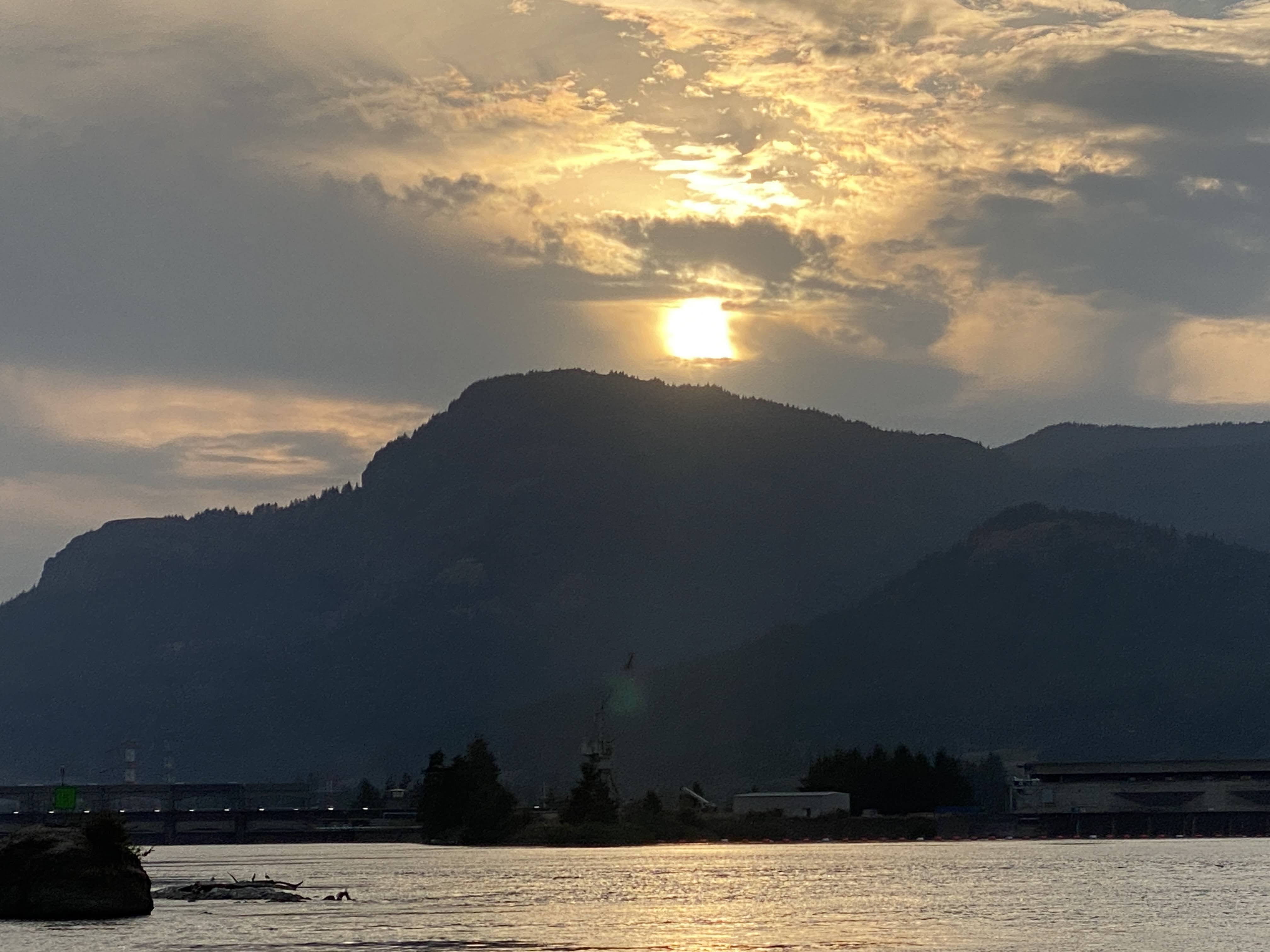
We enjoyed the sunset, as well as views of the surrounding shore, both on the Oregon side and on the Washington side…
We enjoyed Pendleton and Walla Walla, but it was once again time to move on. We drove today for over 100 miles along the mighty Columbia River…
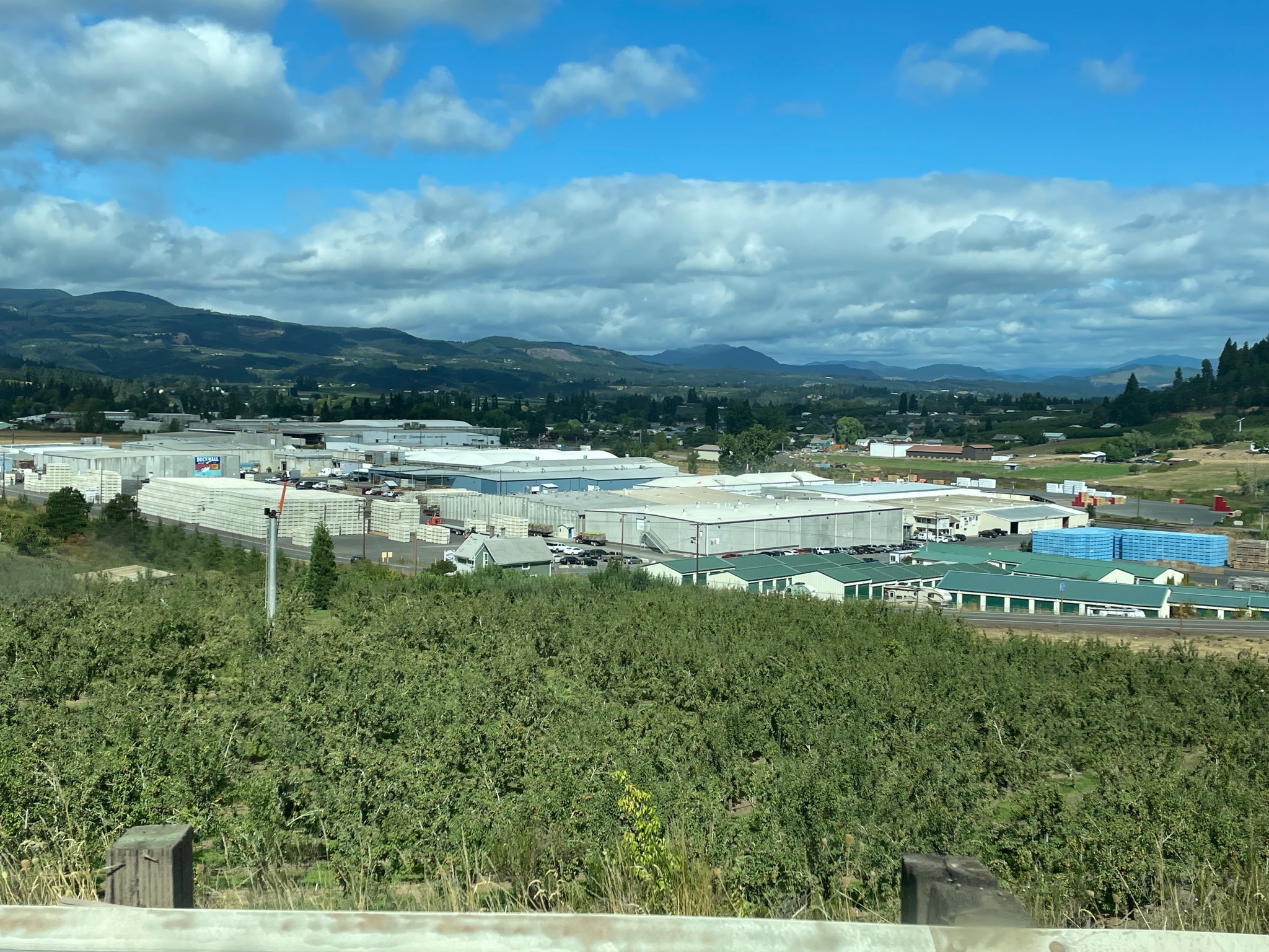
The river area starts out being developed for industry, taking advantage of the hydro power…
We stopped at a rest area, and we couldn’t even see the river…
And that is the long and short of it…
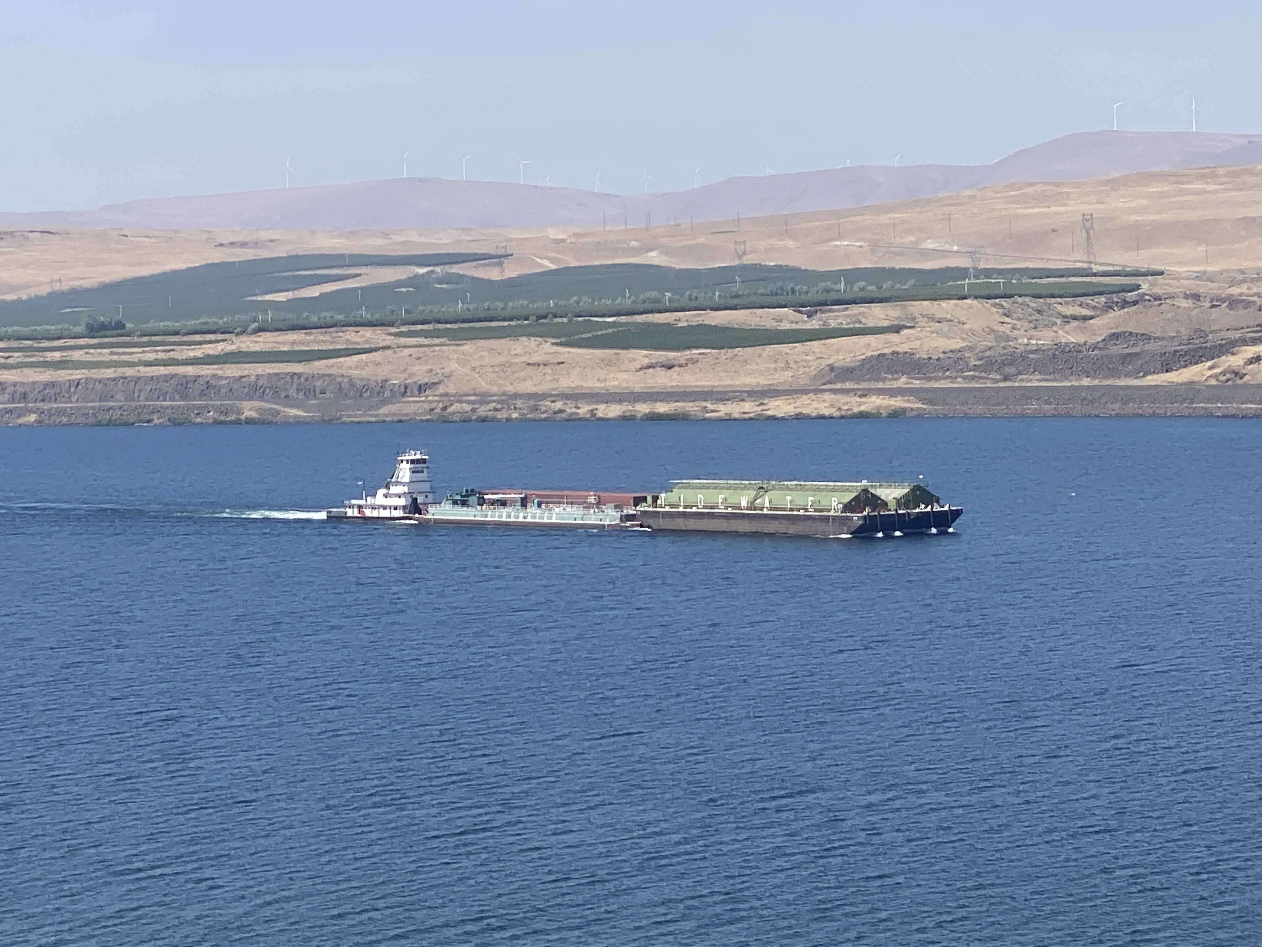
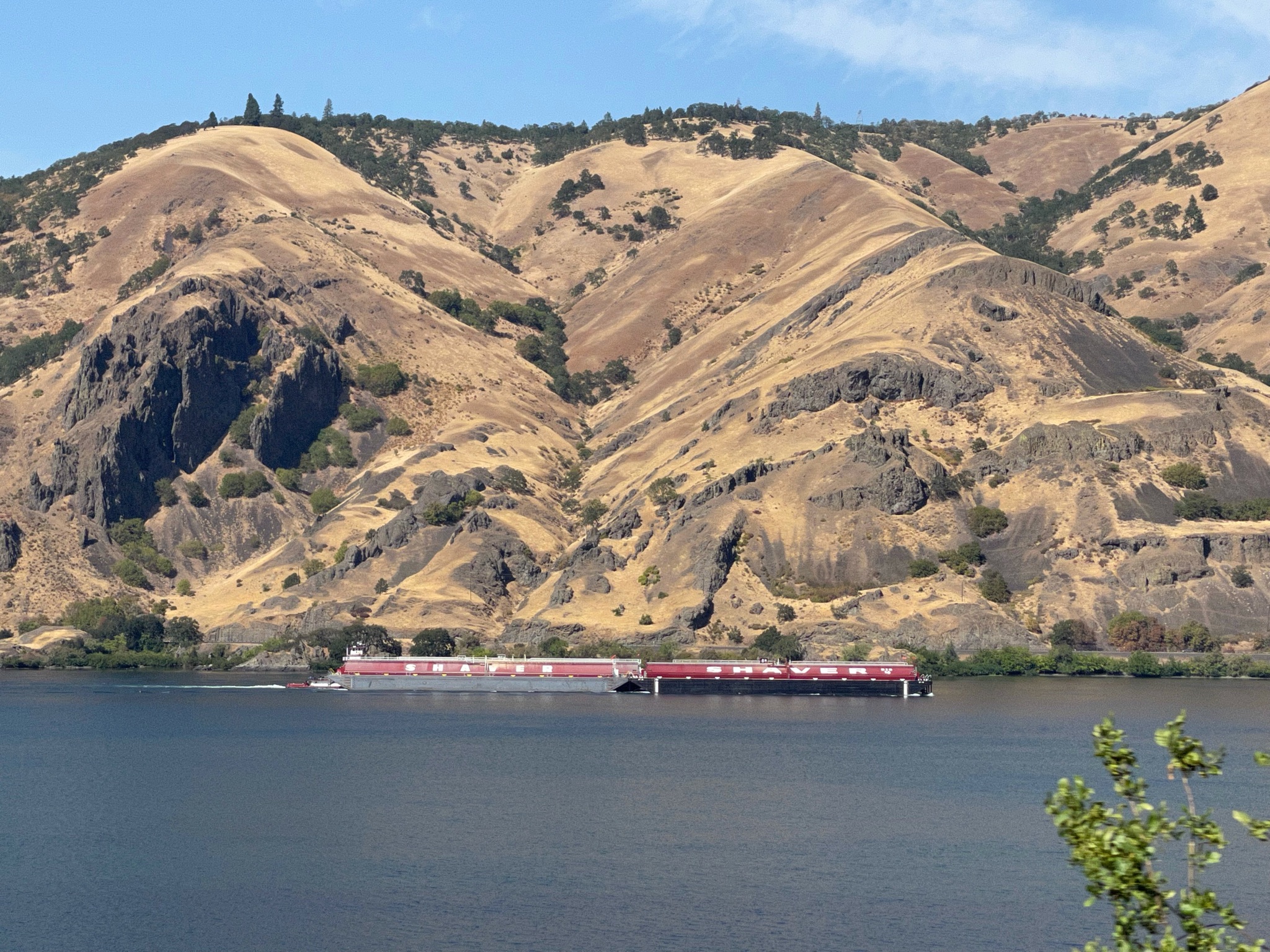
When we could see the river we saw these barges… One combination of four barges like this, pushed by a 3,000 HP tugboat, carries enough grain to fill 160 railway cars…
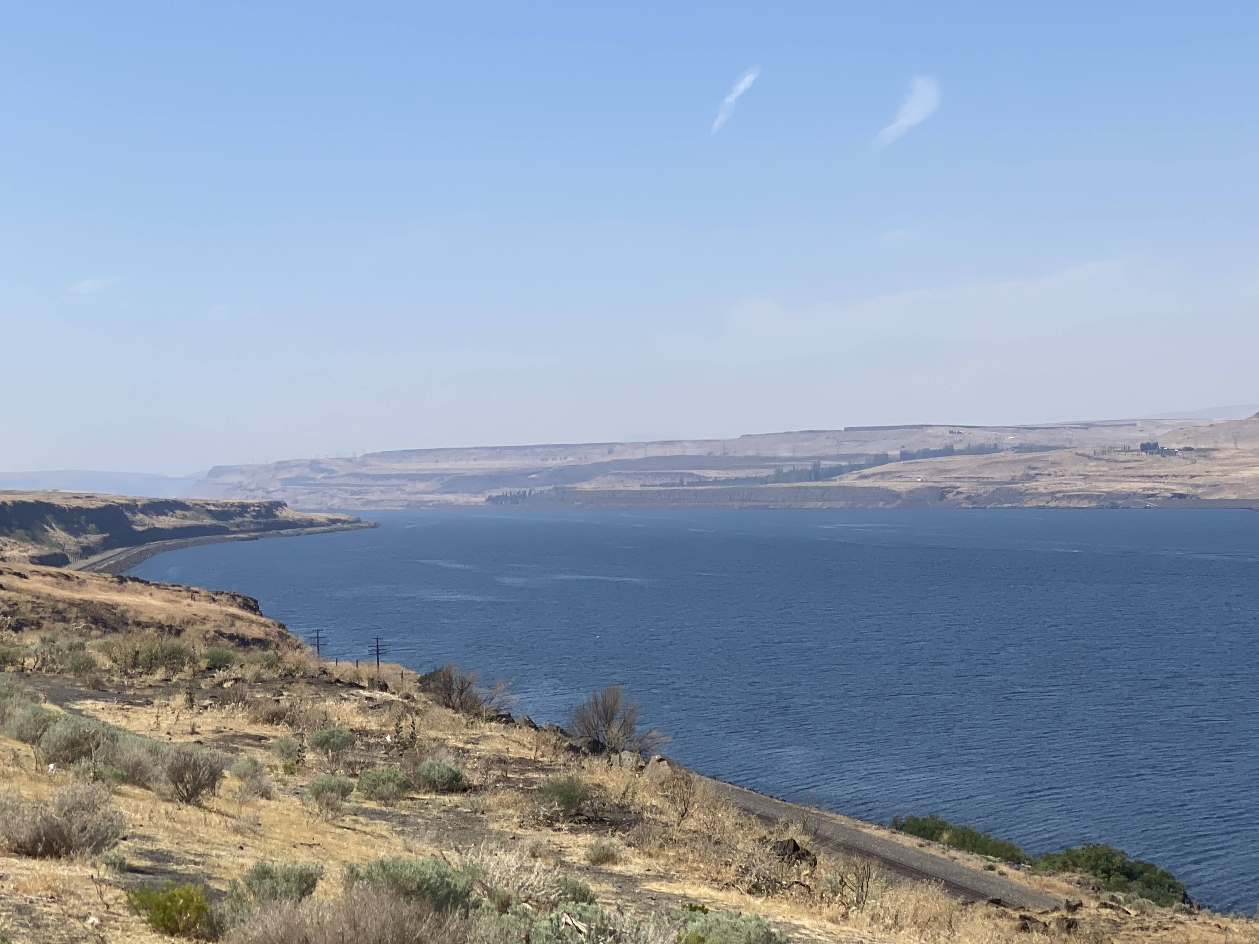
The Columbia is wide! mighty wide!
The Columbia is the largest river in the Pacific Northwest region of North America. The river rises in the Rocky Mountains of British Columbia, Canada. It flows northwest and then south into the US state of Washington, then turns west to form most of the border between Washington and the state of Oregon before emptying into the Pacific Ocean. The river is 1,243 miles long, and its largest tributary is the Snake River. Its drainage basin is roughly the size of France and extends into seven US states and British Columbia. The fourth-largest river in the United States by volume, the Columbia has the greatest flow of any North American river entering the Pacific. The Columbia has the 37th greatest discharge of any river in the world.
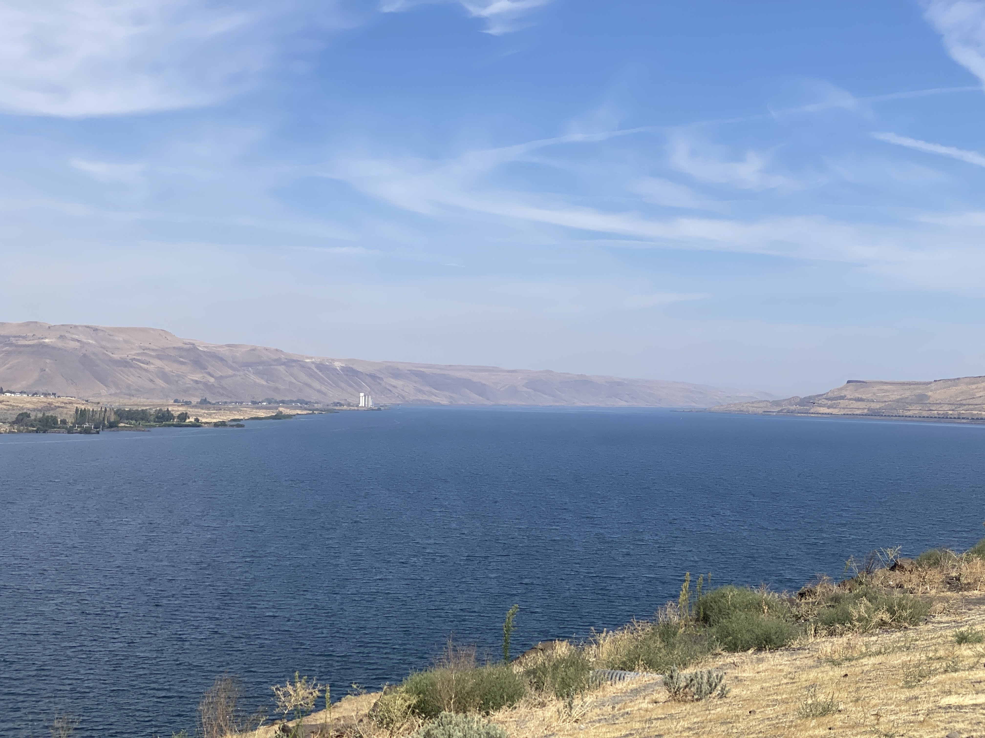
Of course, the banks on the opposite side of the river is the state of Washington…
As we entered the Columbia River Gorge Scenic Area there was very little industry along the river, aside from the dams…
There are several dams on the Columbia. The first dam we passed was the John Day Dam… The next, shown here, is The Dalles Dam…
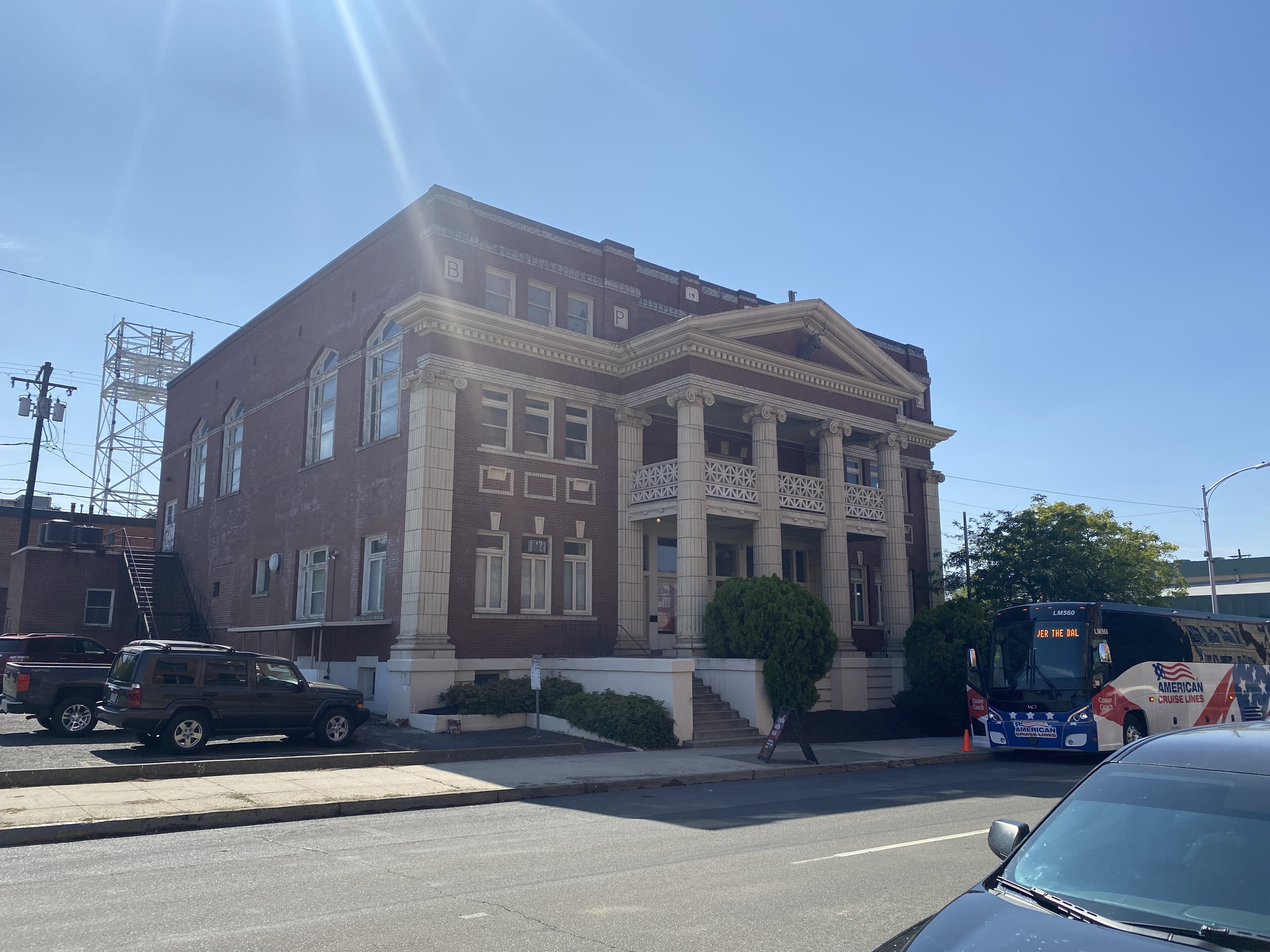
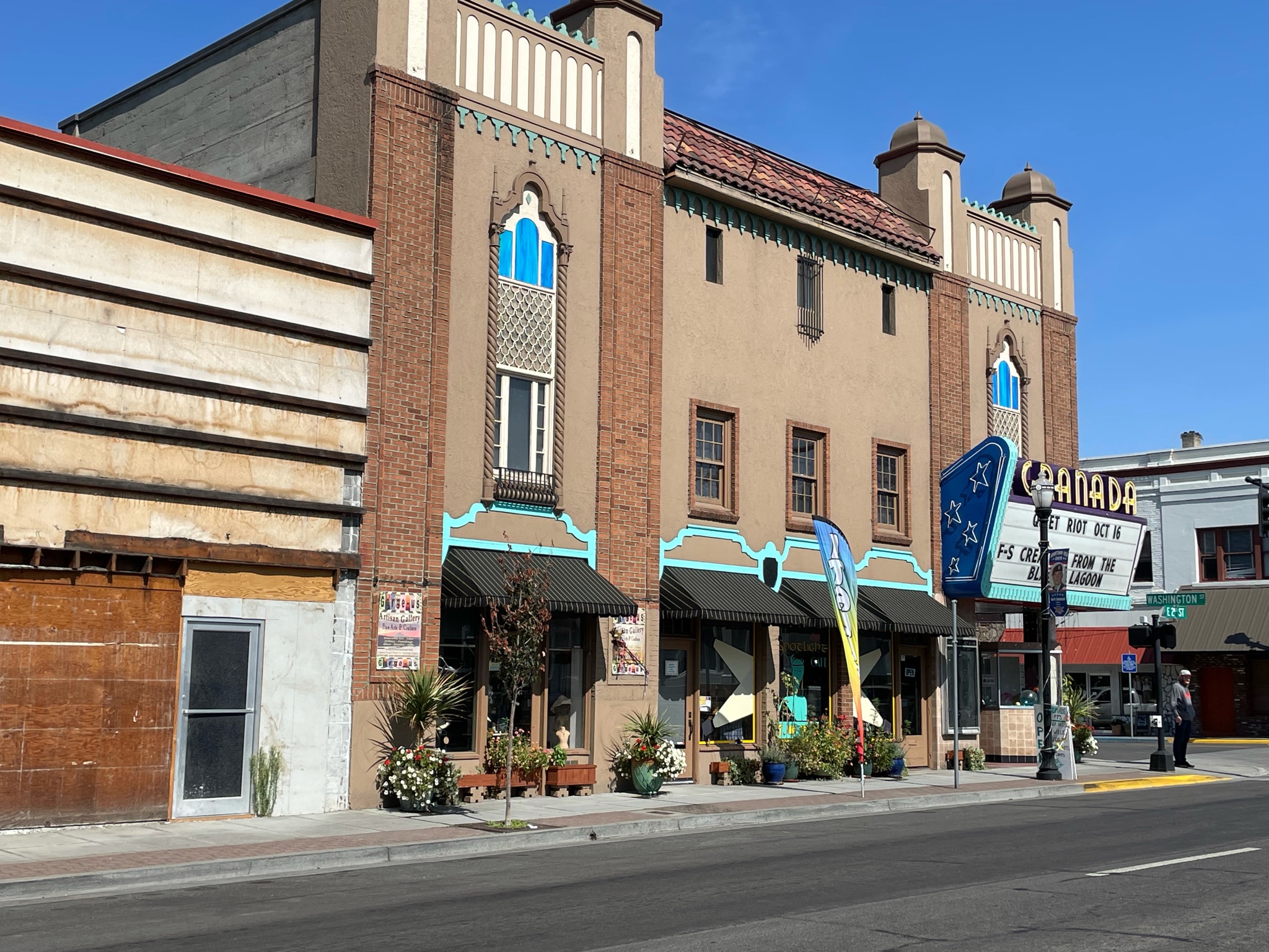
We stopped in the town of The Dalles to stretch our legs and to see the town…
There is not a lot going on. Clearly The Dalles has seen better times. However, we found the National Neon Sign Museum, in this fine old building that been an Elks lodge in an earlier life…
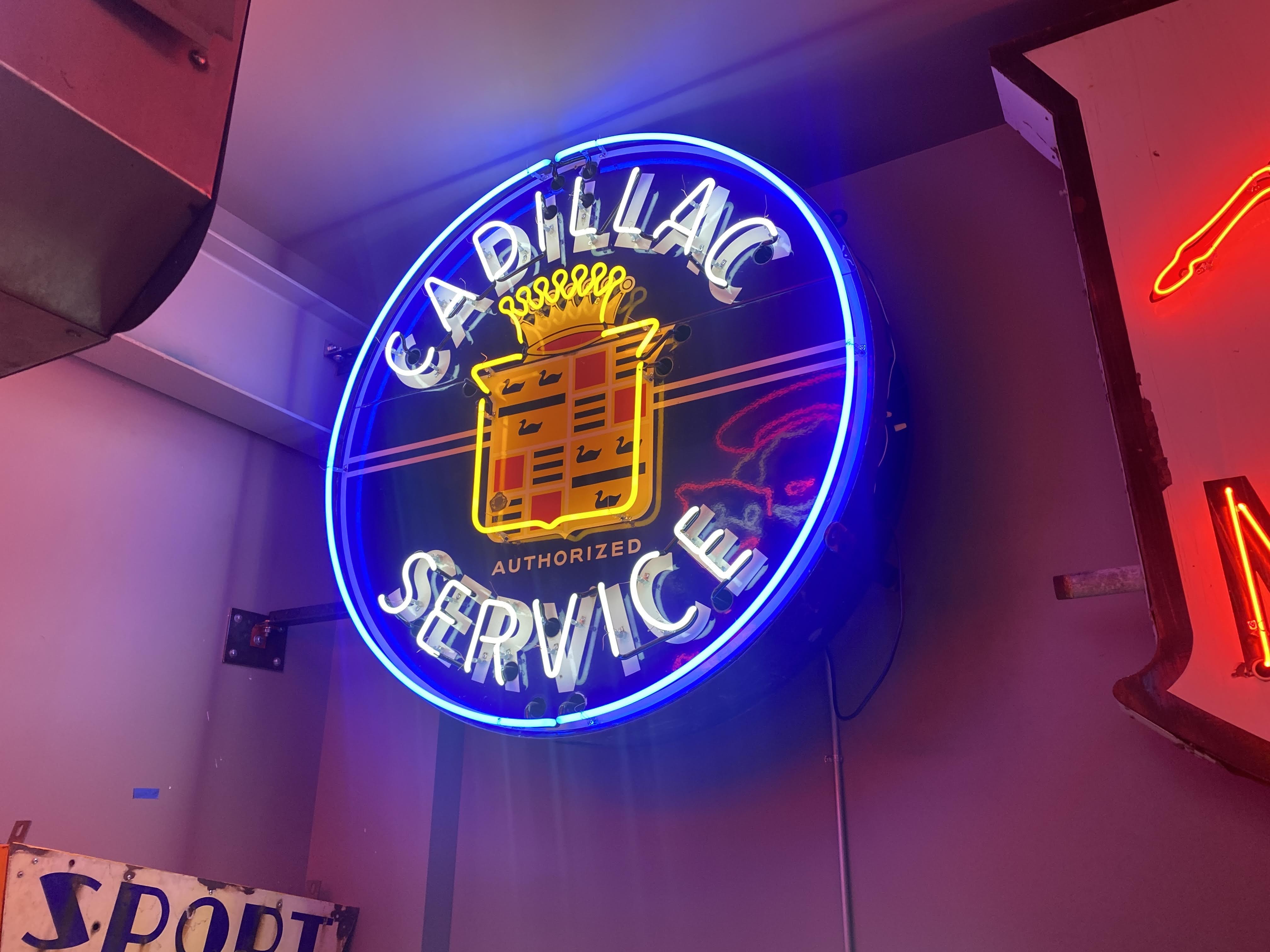
These rooms contain about 10% of this man’s collection of neon signs… Ironically, this first room displays only light bulb signs… We learned a little of the history of light bulbs and neon light tubes. We also watched a video showing how neon lights are constructed…
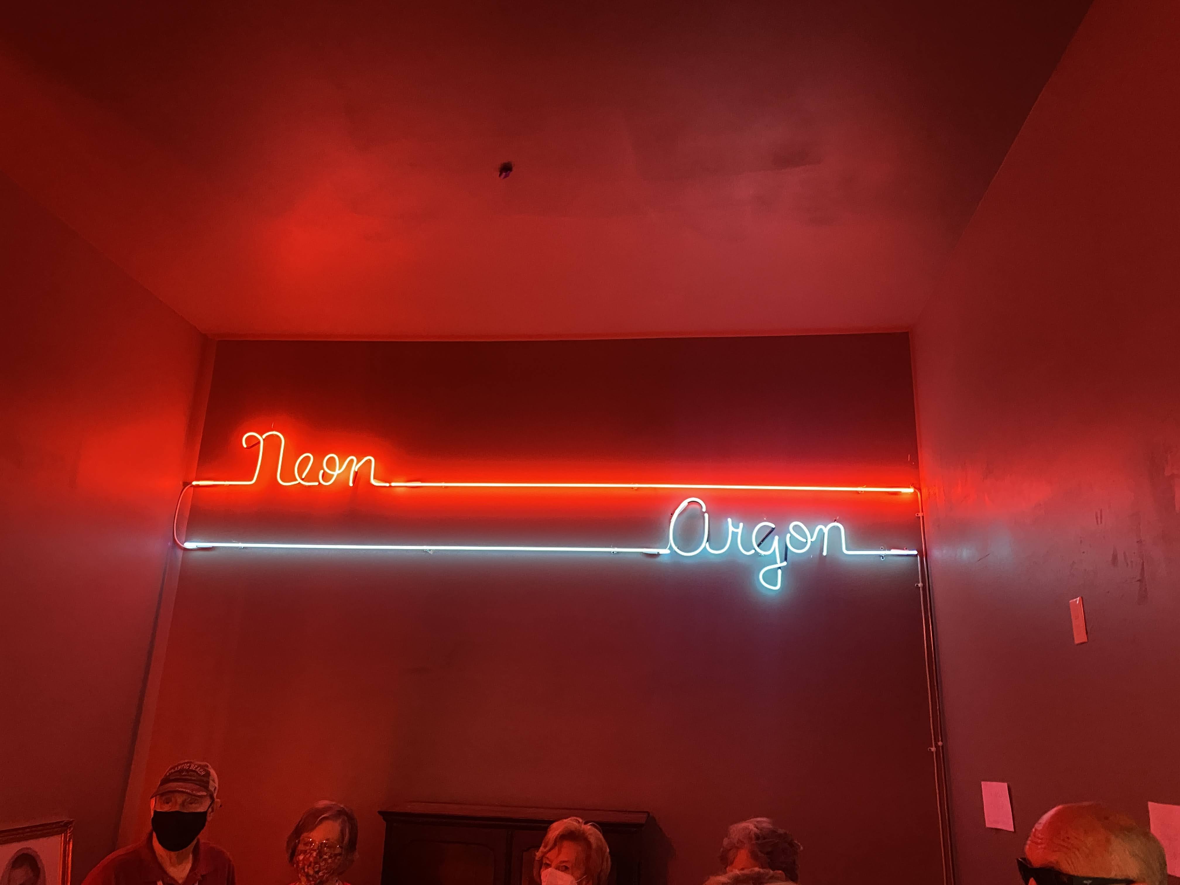
We moved on. We learned that there are two different types of gas in these signs – neon and argon. The colors are made by various colors of the glass and whether argon is used or neon…
This guy was clearly passionate about neon signs and historic logos…
We moved upstairs to what used to be the lodge hall or ballroom… It is now used as an event venue…
Lynda made a new friend…
After our tour we walked the town and saw more evidence of neon in the town…
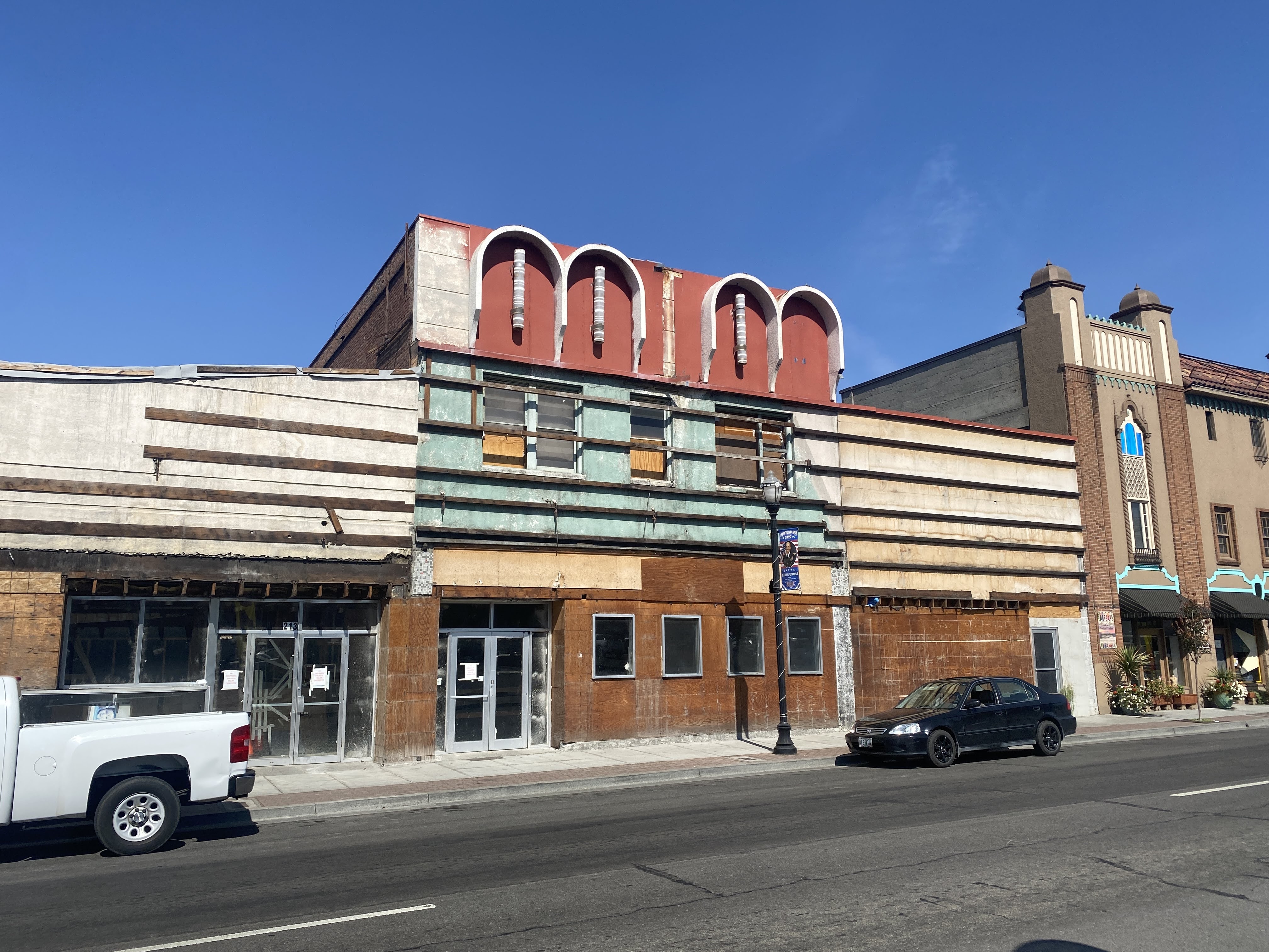
As I have said, the town looks a little sad…
More neon here at the defunct theater…
There is evidence that the town is starting to be reborn. These storefronts have had their 1950s era “modern” facades removed, revealing the original early 20th century designs…
We traveled on. Great views all along the way…
We arrived at the RV park. This type of park is a favorite amongst many caravaners, but it is not mine. I find dense forests depressing and a little sinister. It is rare to see the sun anywhere in the park; not to mention that I cannot connect to satellite TV. (The park does have relatively good cable TV hook-ups…)