Search

Adventures in the Villa

Category

Nebraska

2021-08-08 – The Oregon Trail caravan … Day 11 – Gering, NE to Evansville, WY

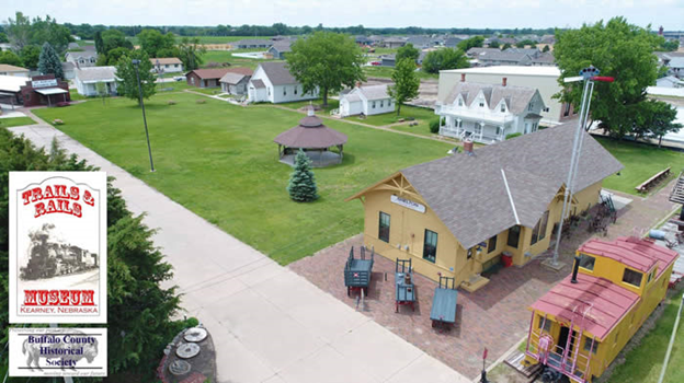
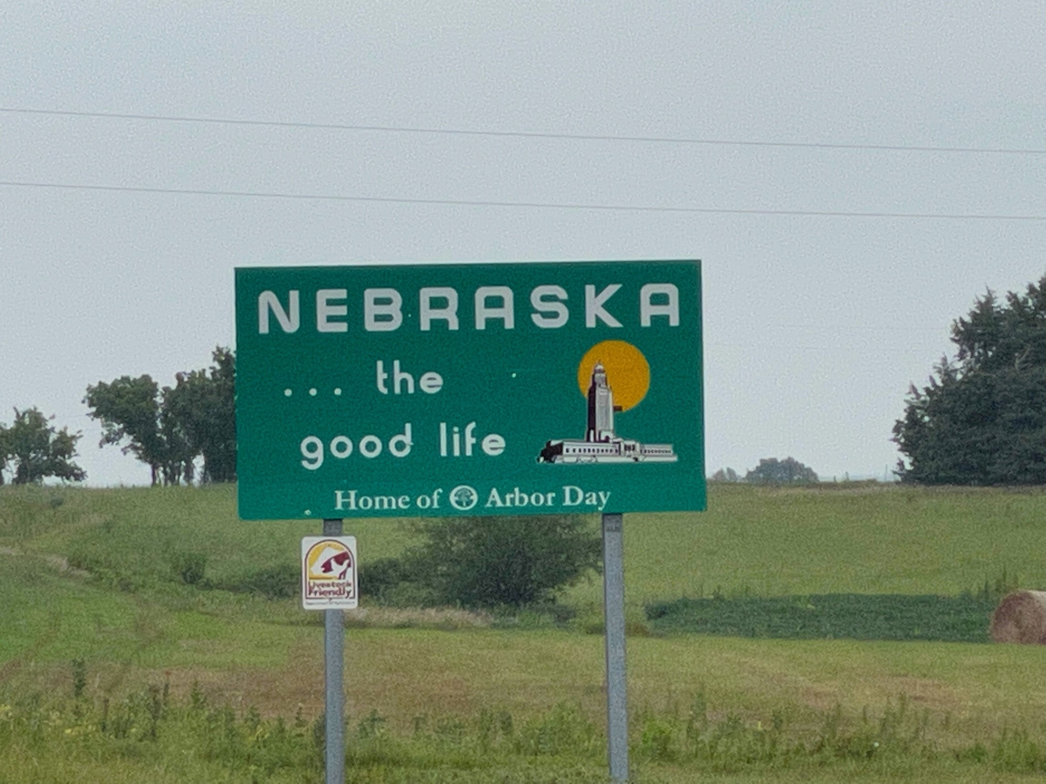
We are leaving Nebraska today, traveling to Casper, WY (actually Evansville…).

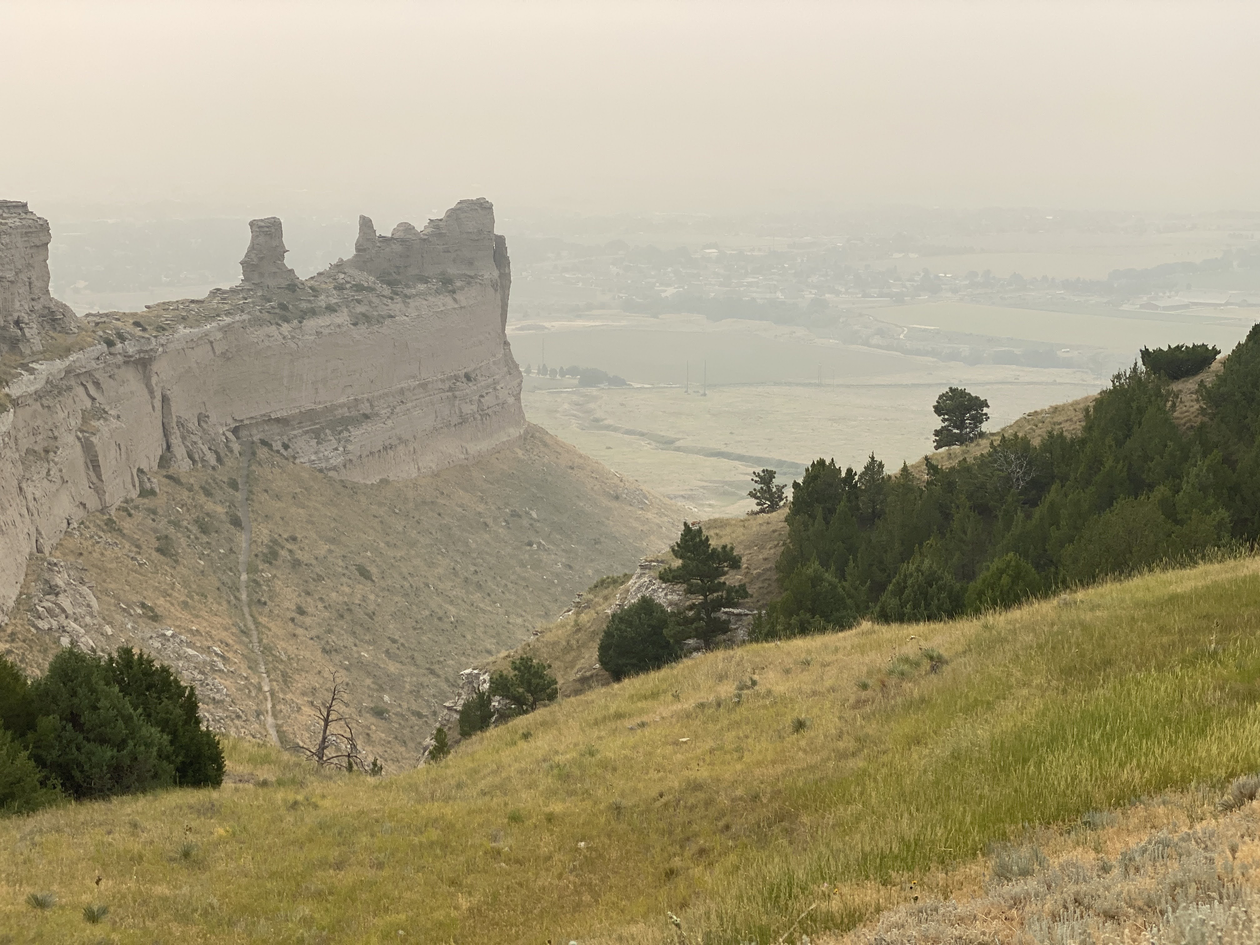
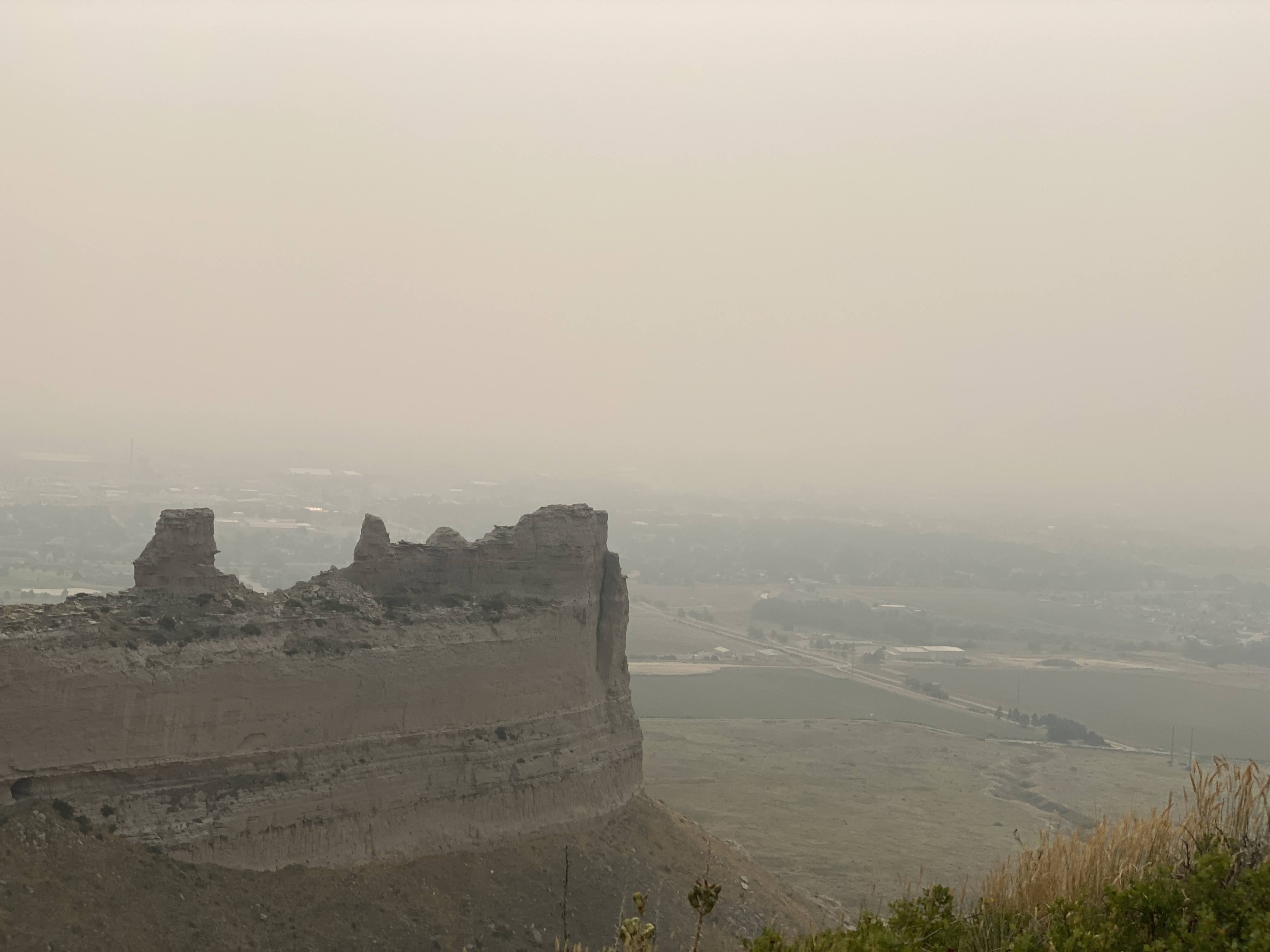
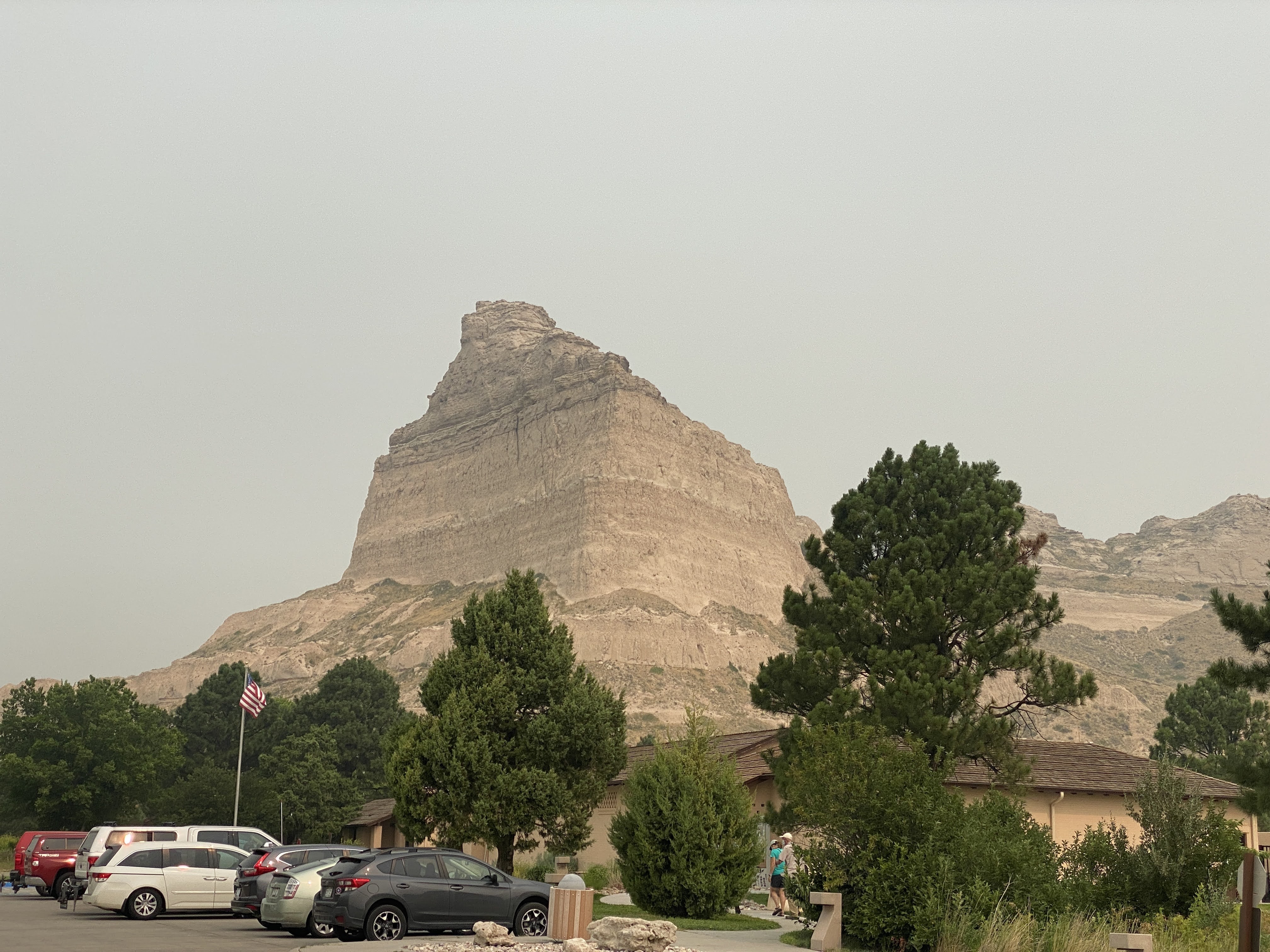
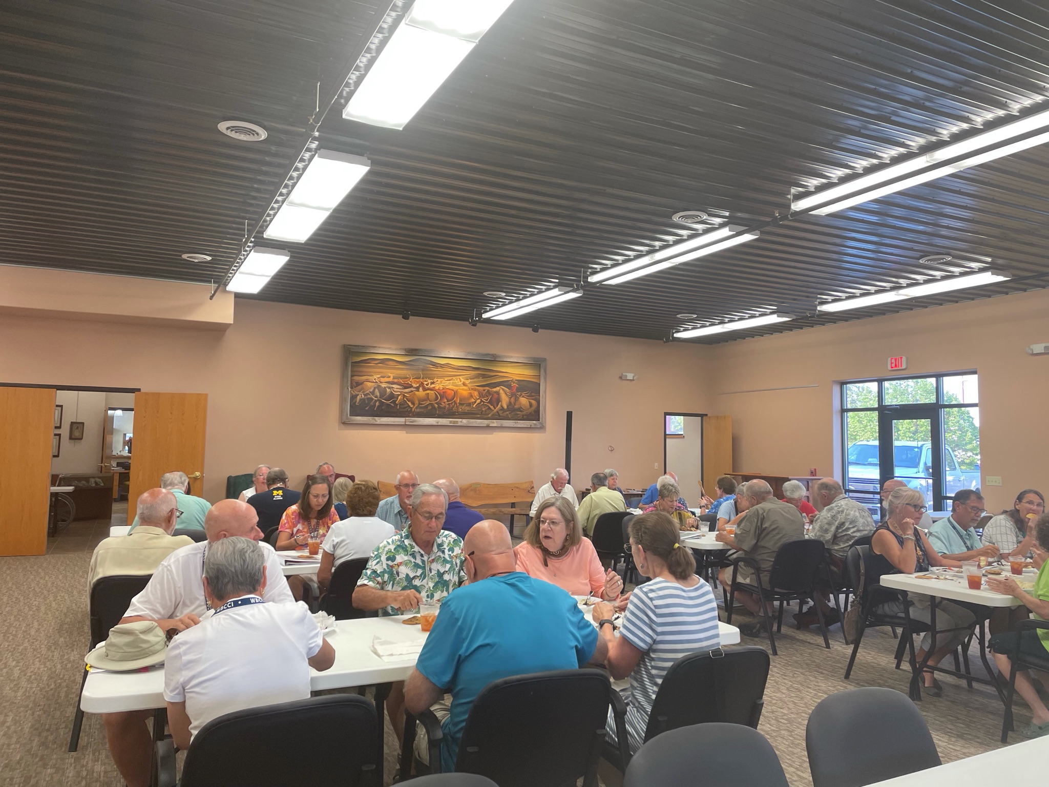
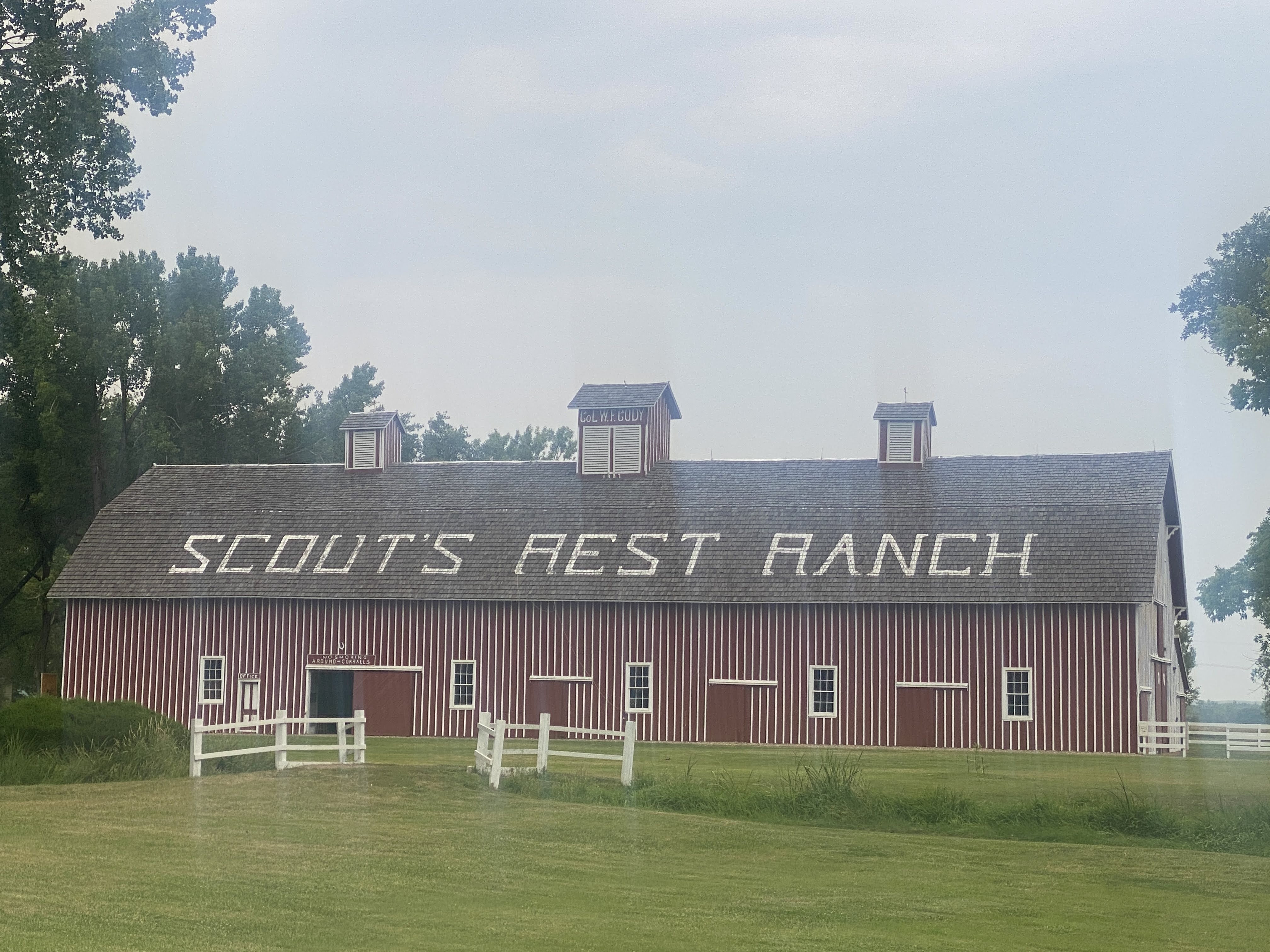
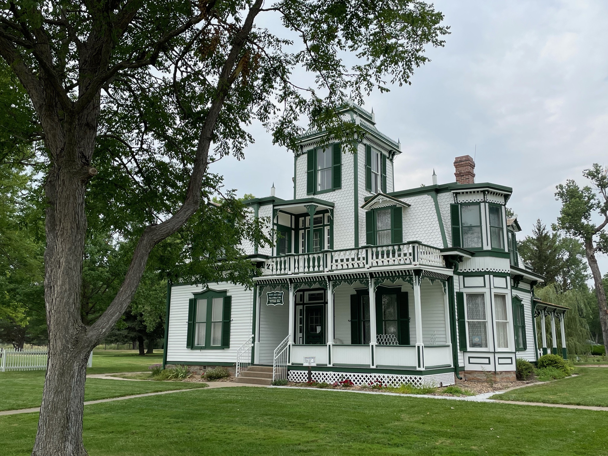
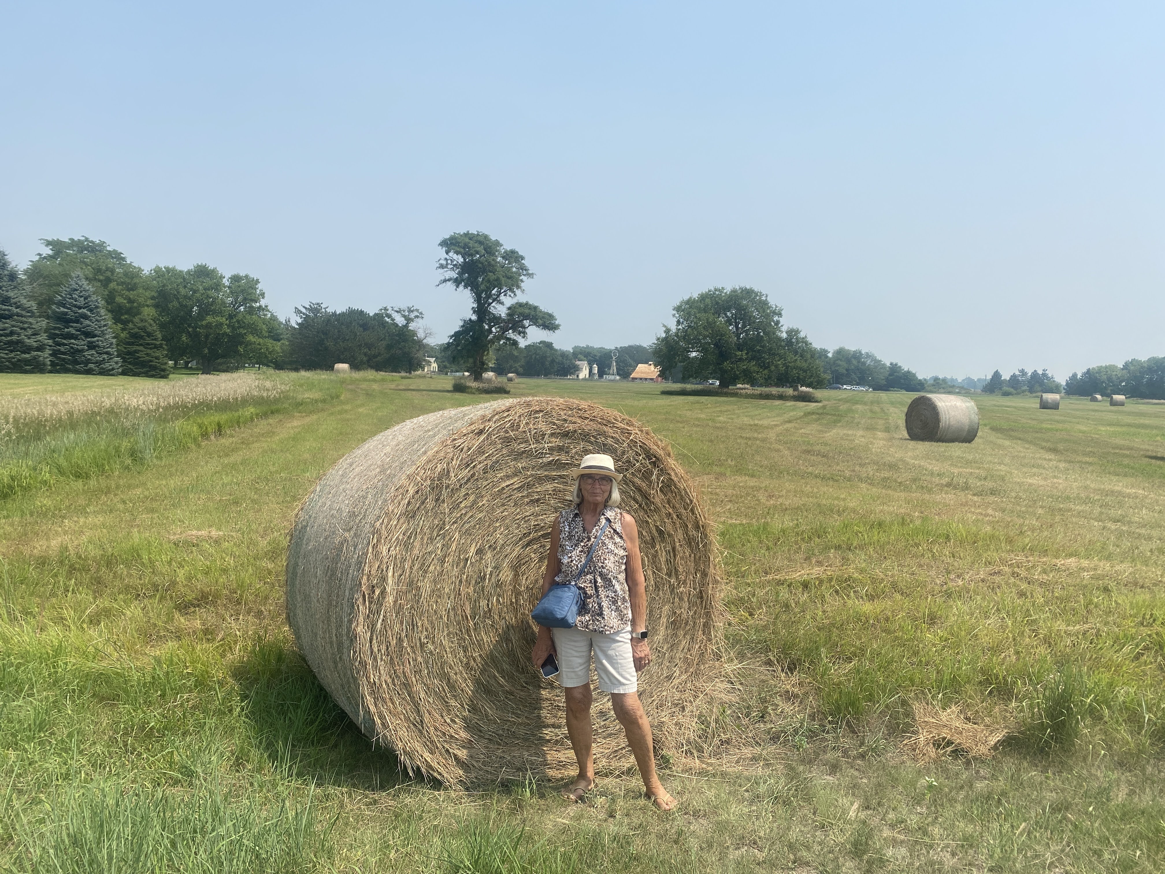
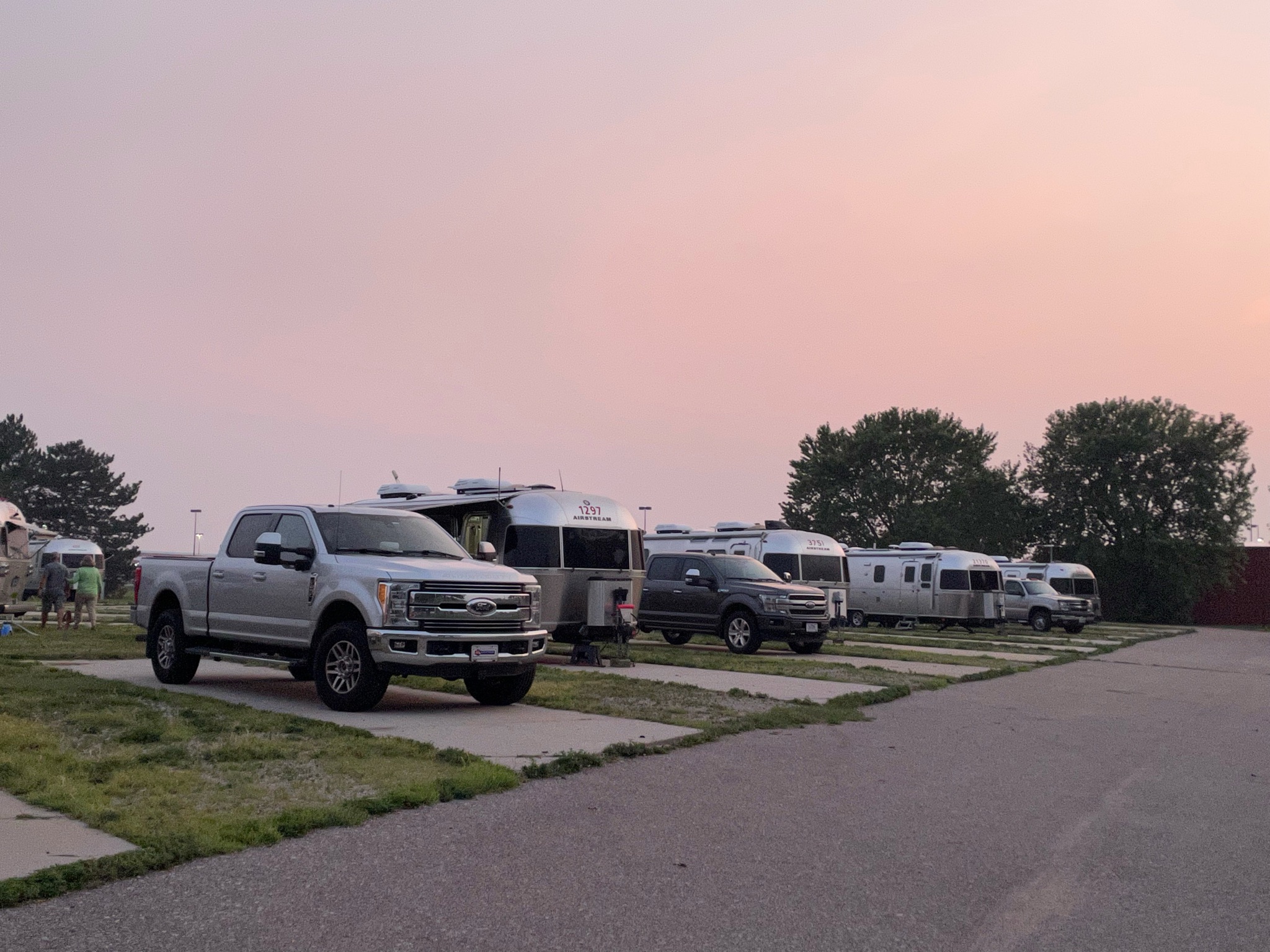
But before I talk about today, here is a picture of all of us at Scott’s Bluff yesterday…

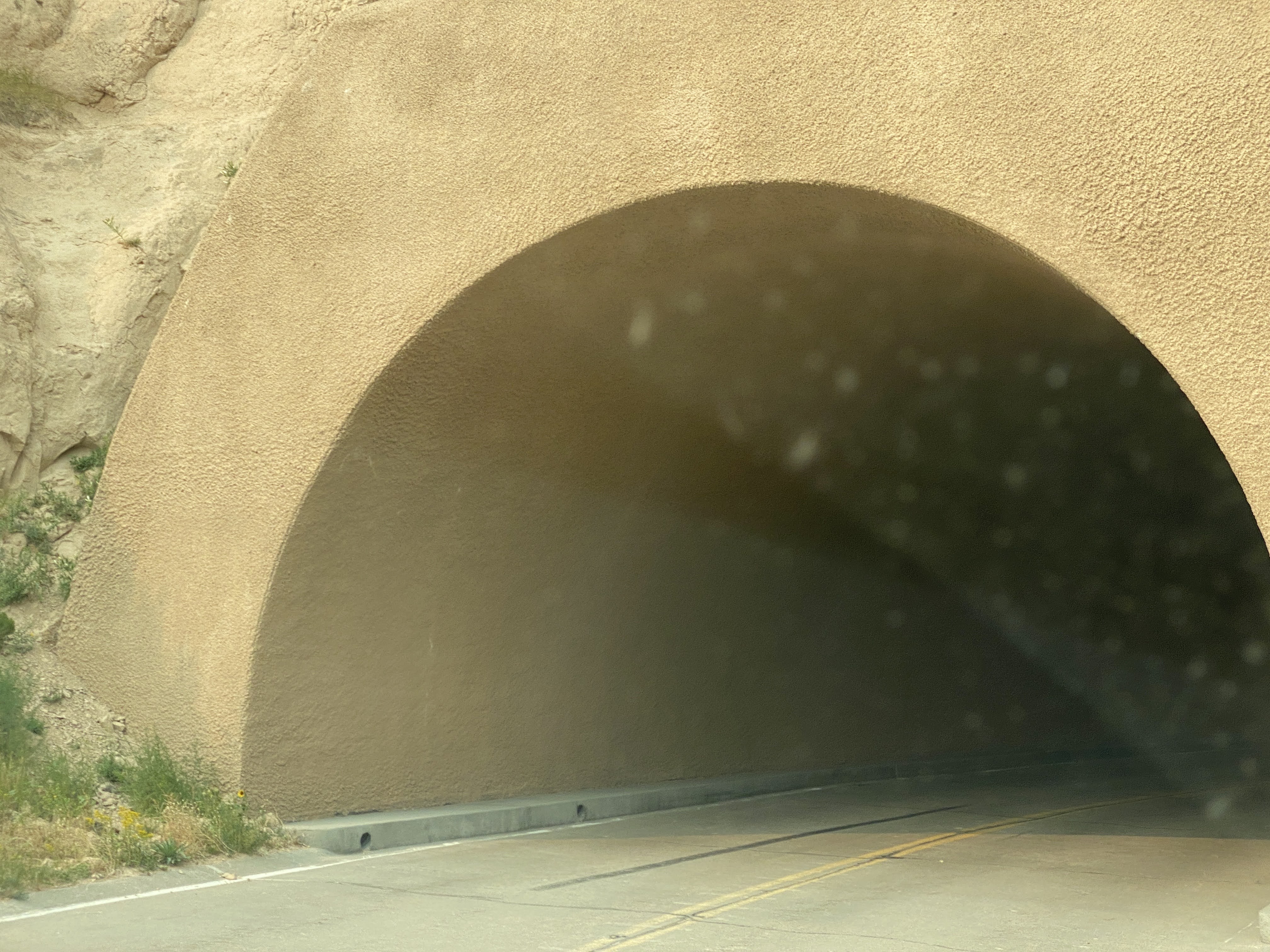
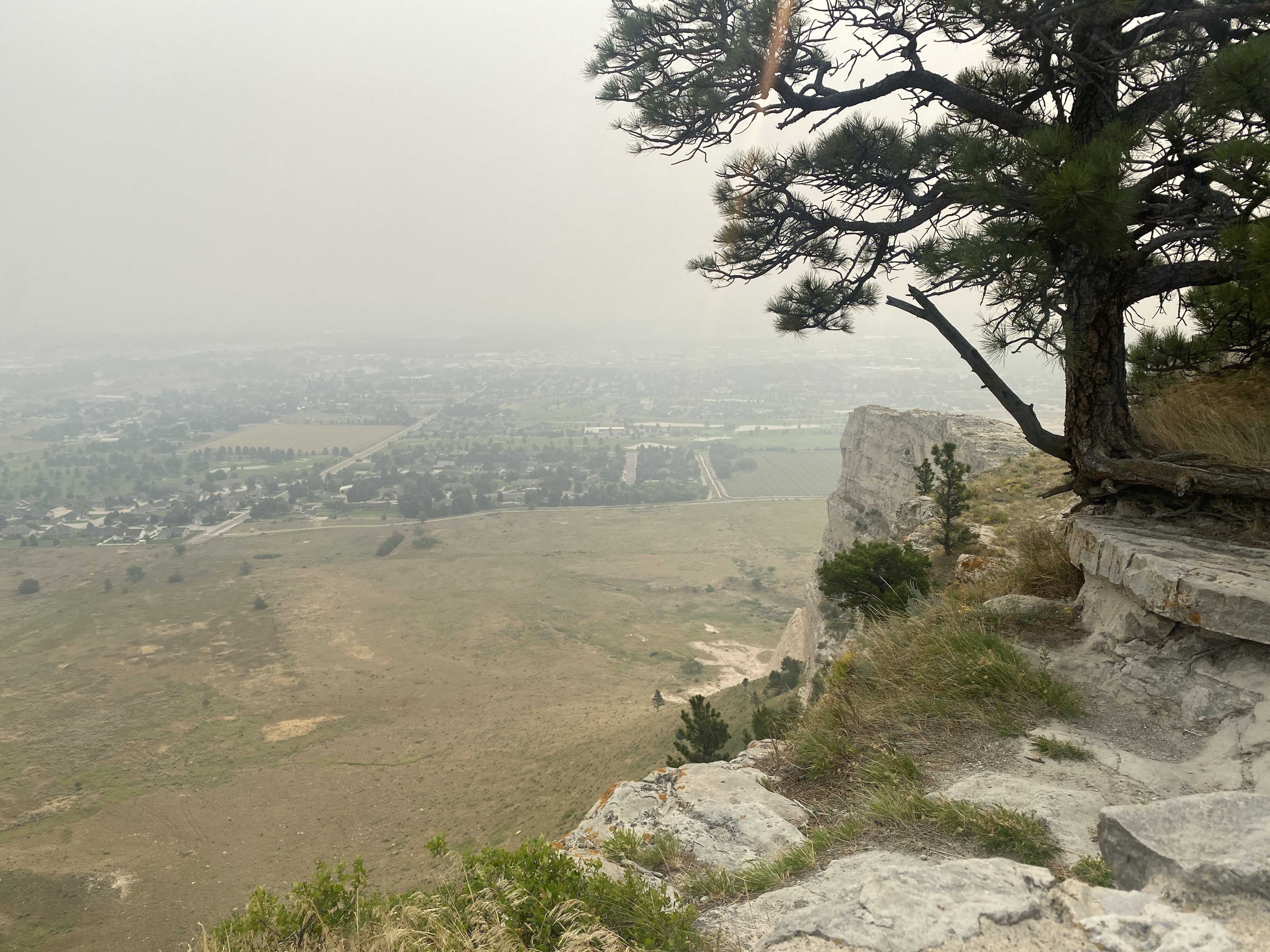
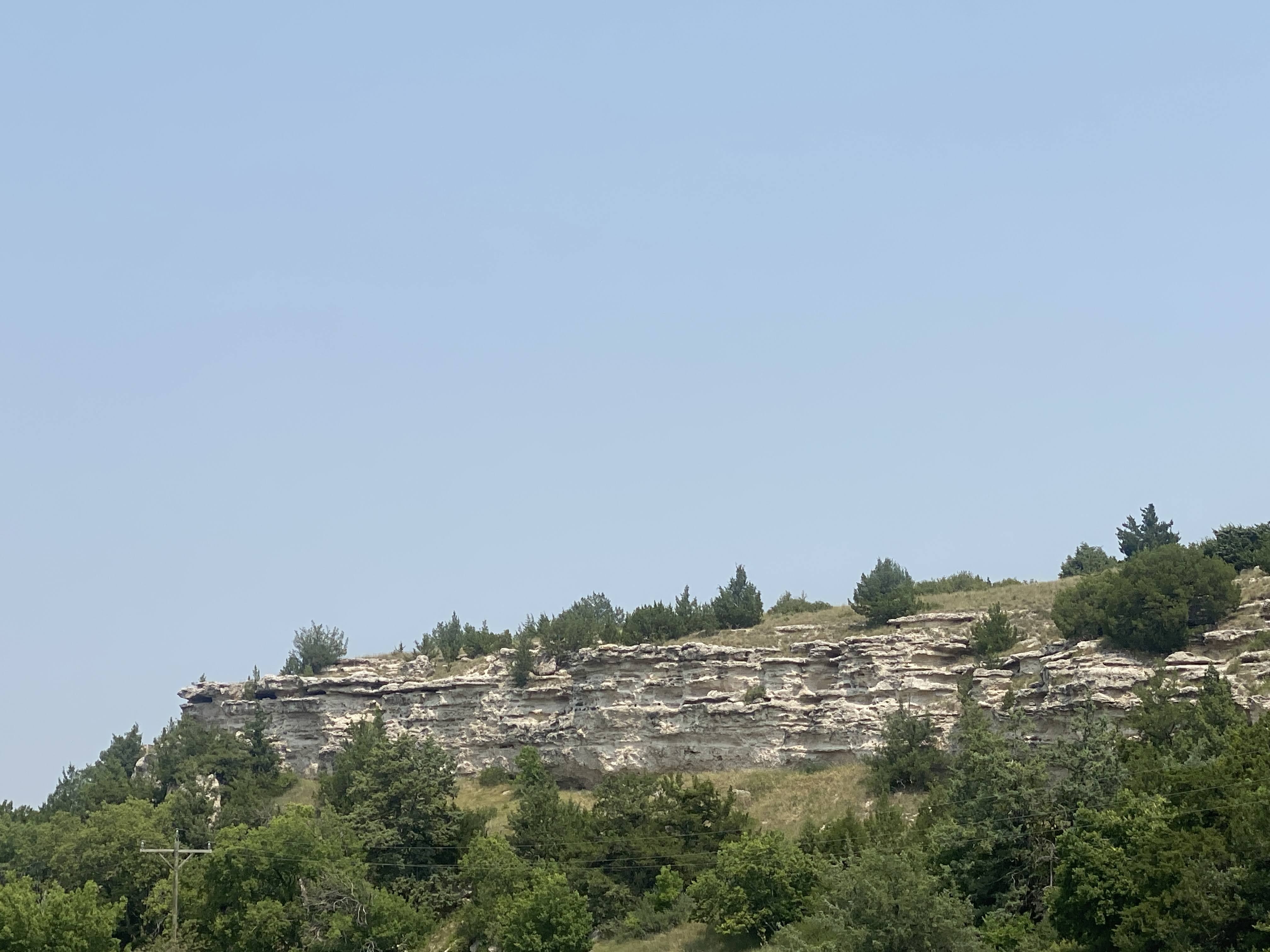
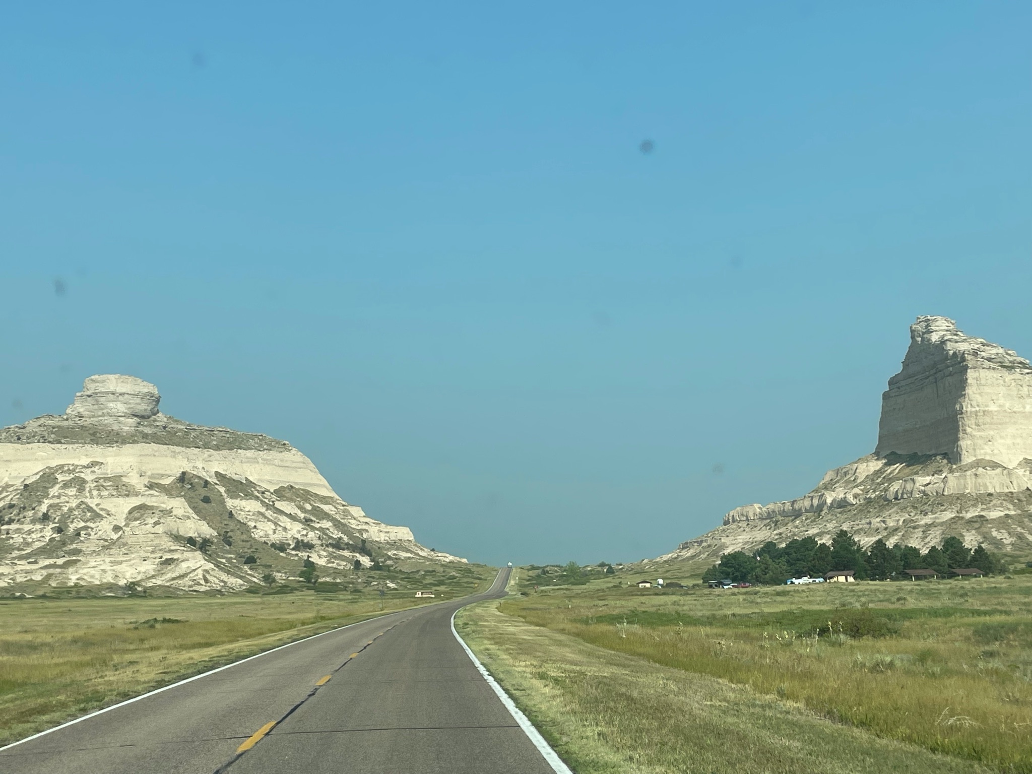
We drove through the Robidoux Pass, between the major cliffs at Scott’s Bluff. We will be following the the Oregon Trail for much of our trip today…

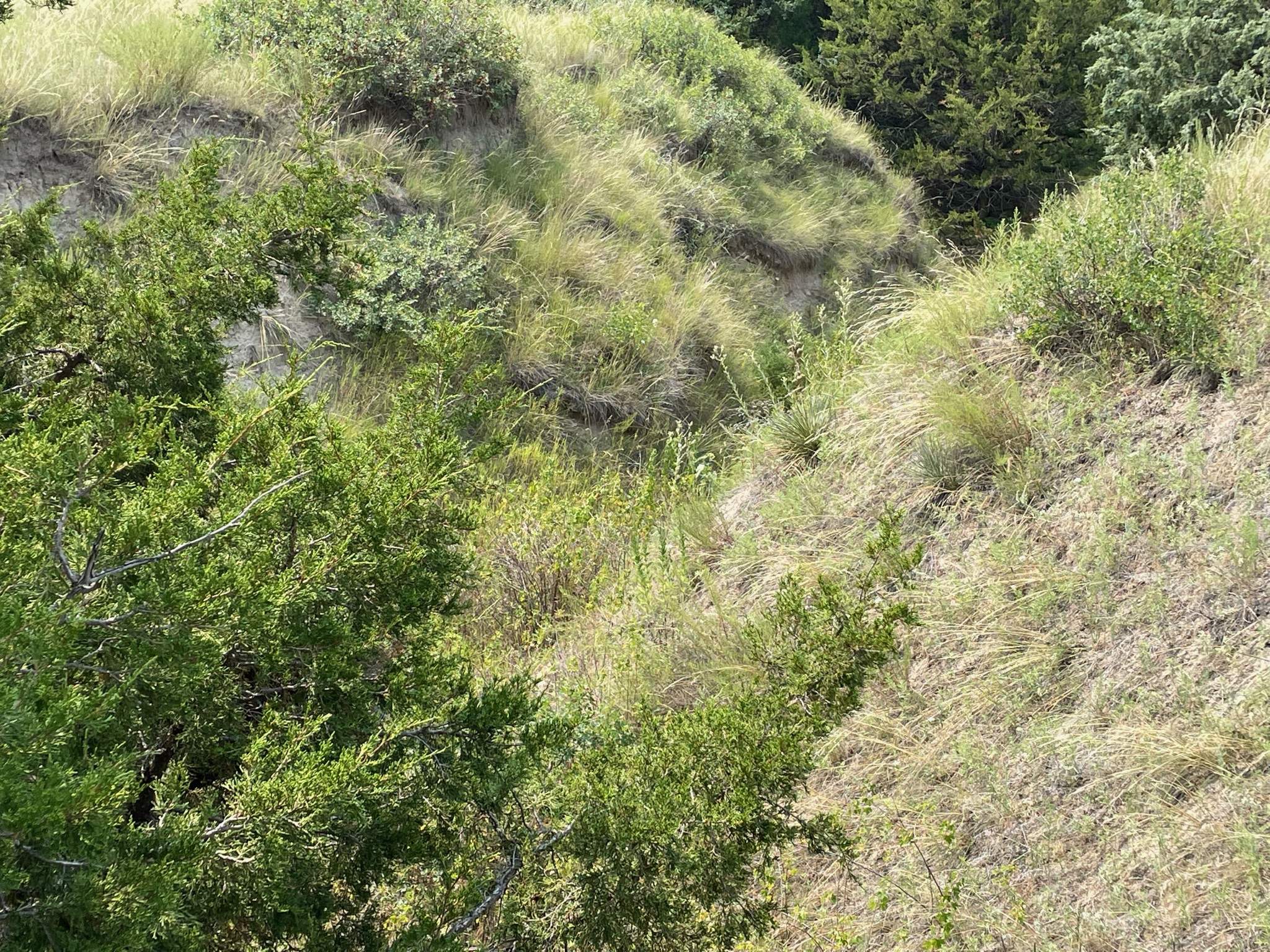
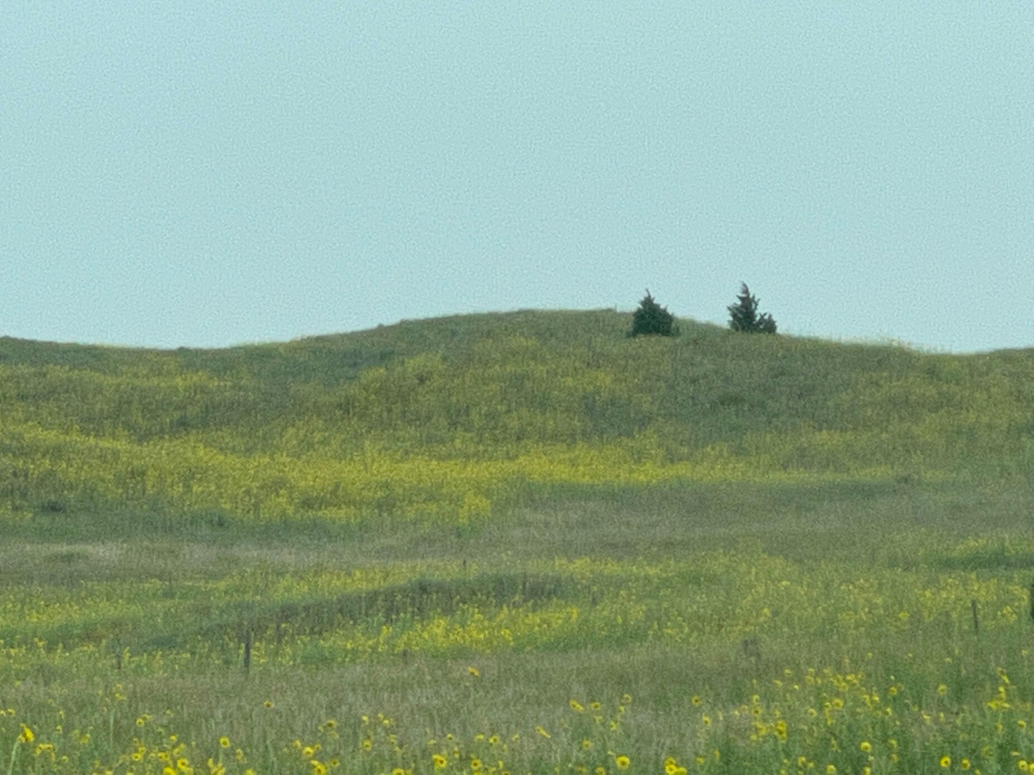
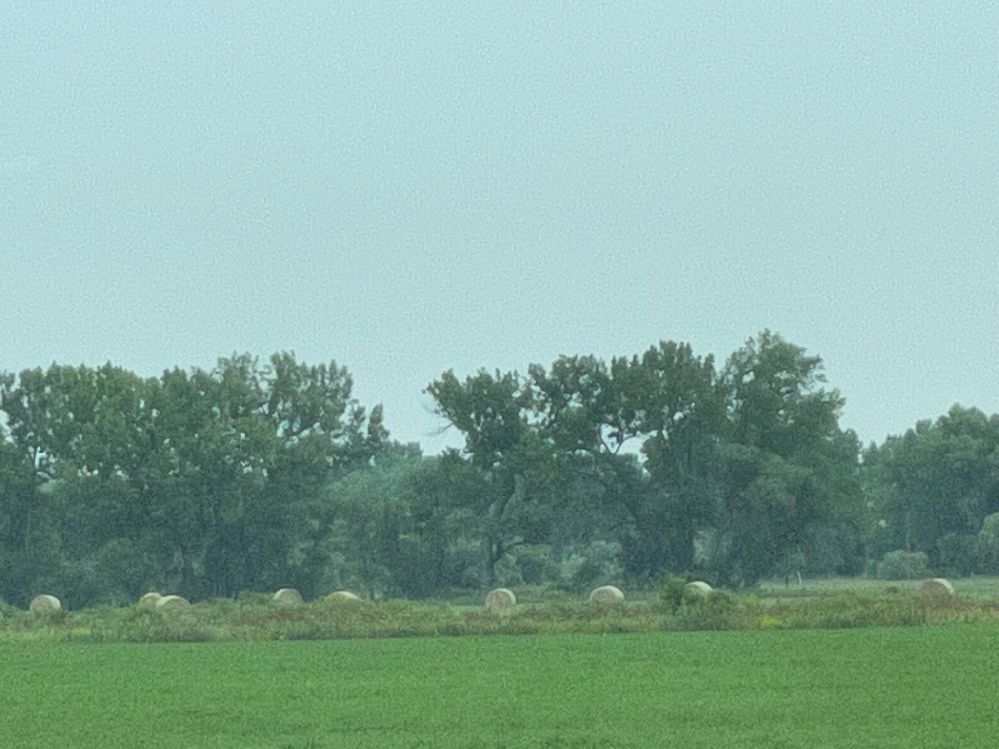
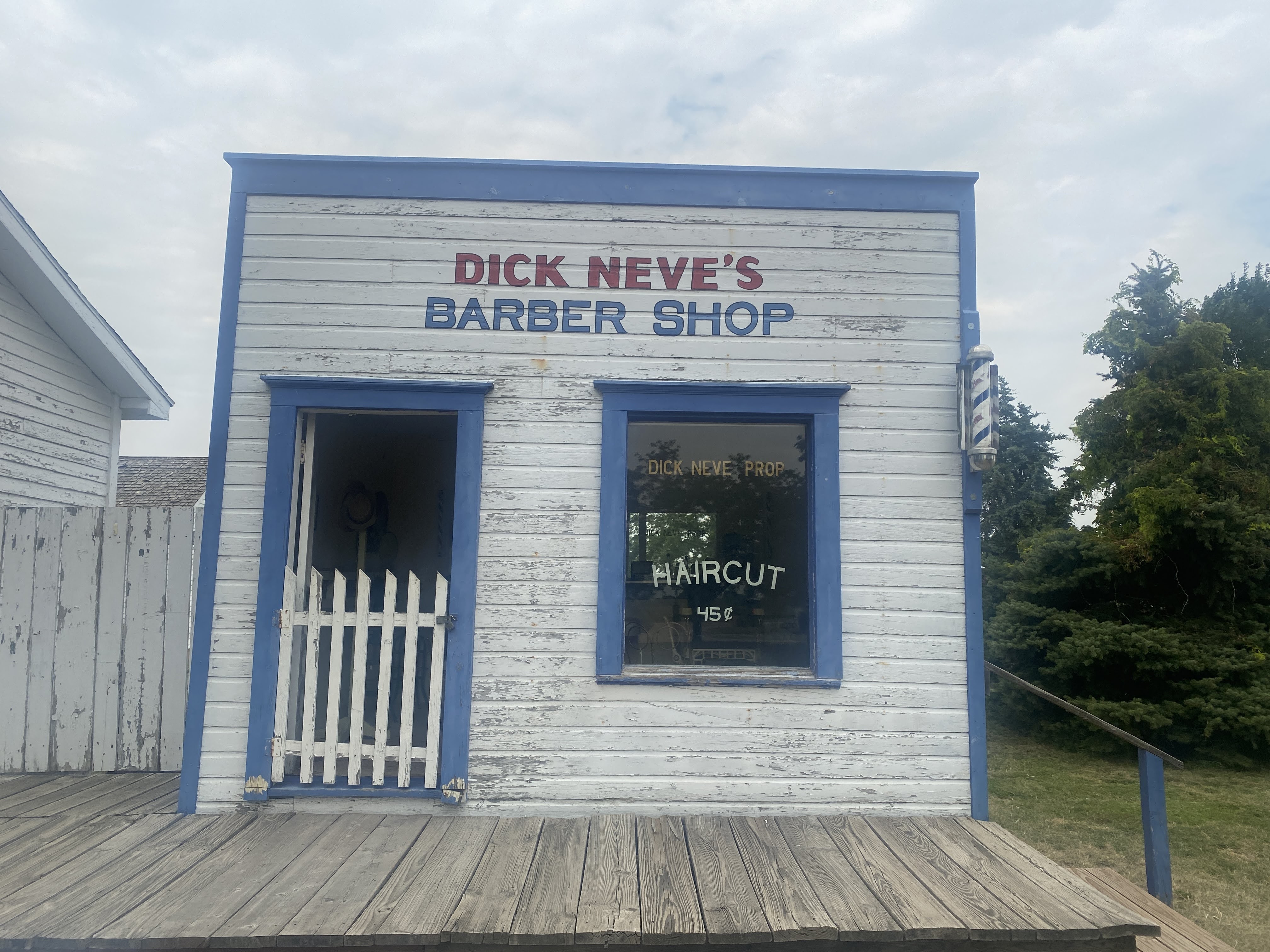
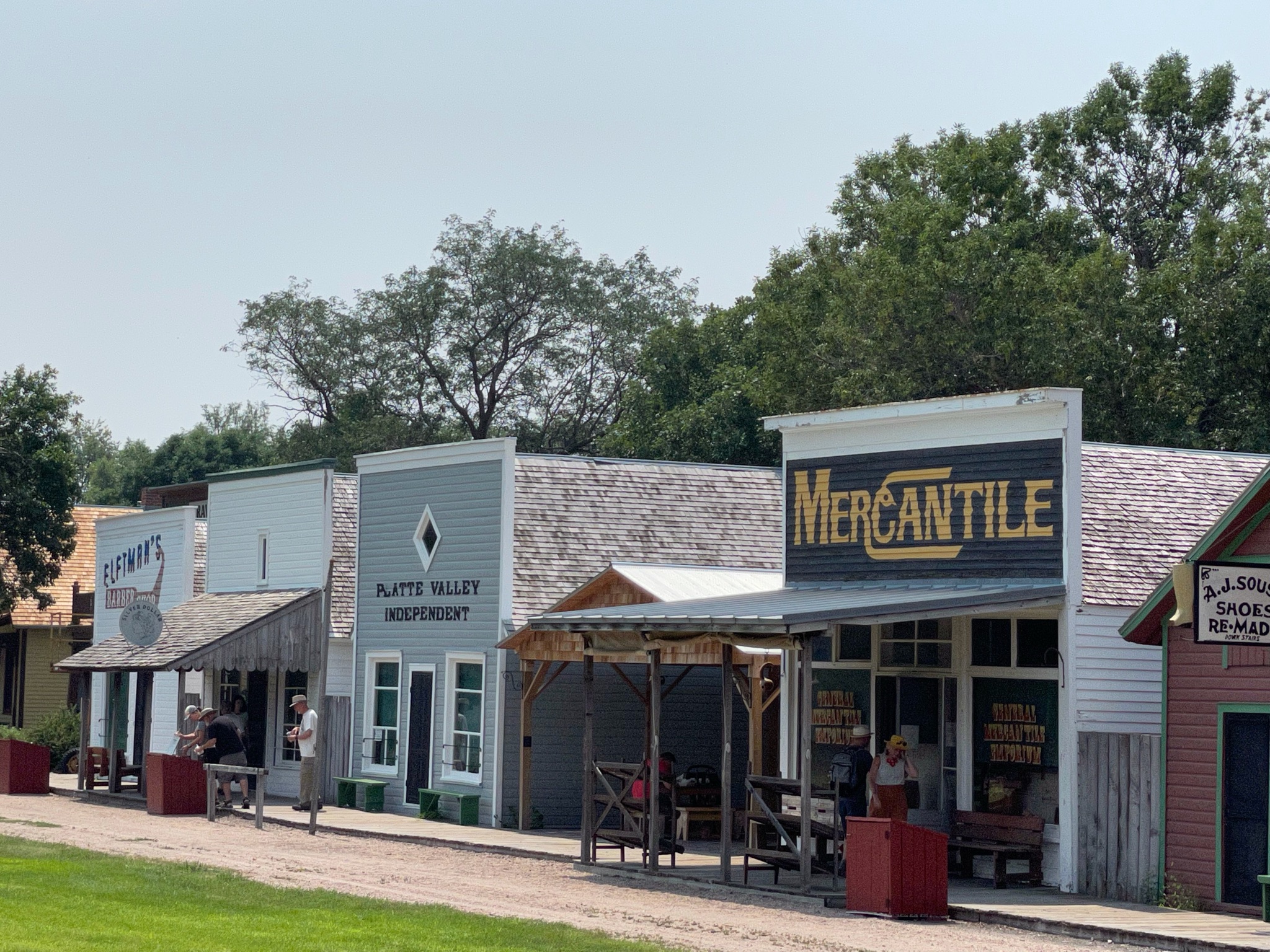
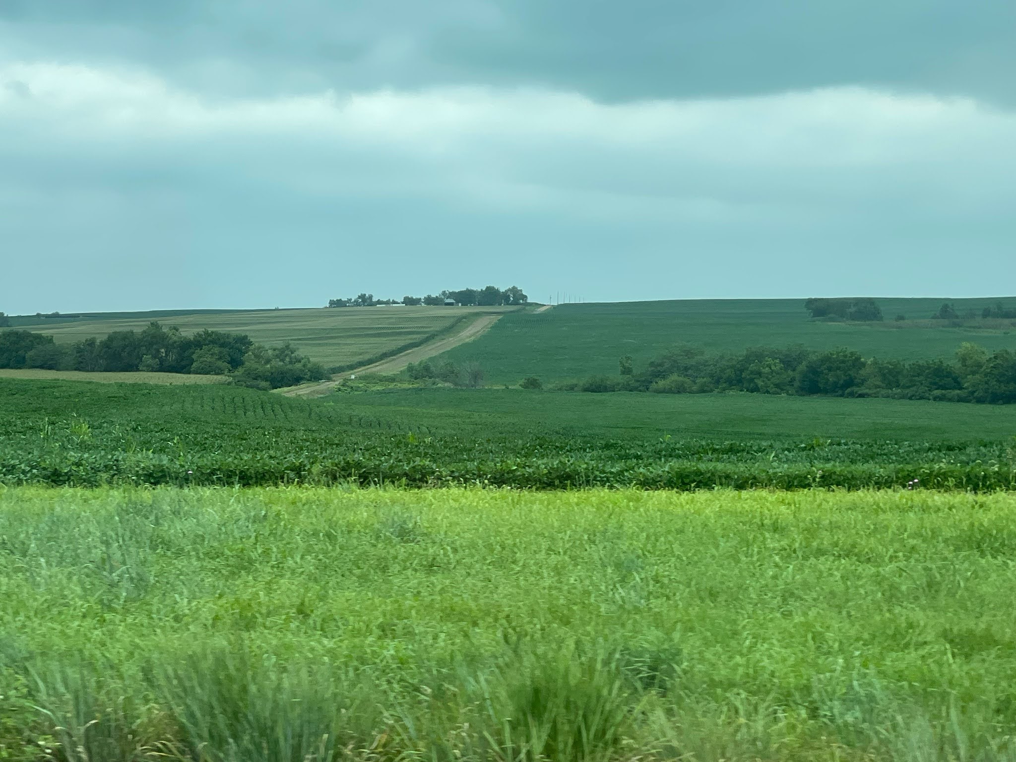
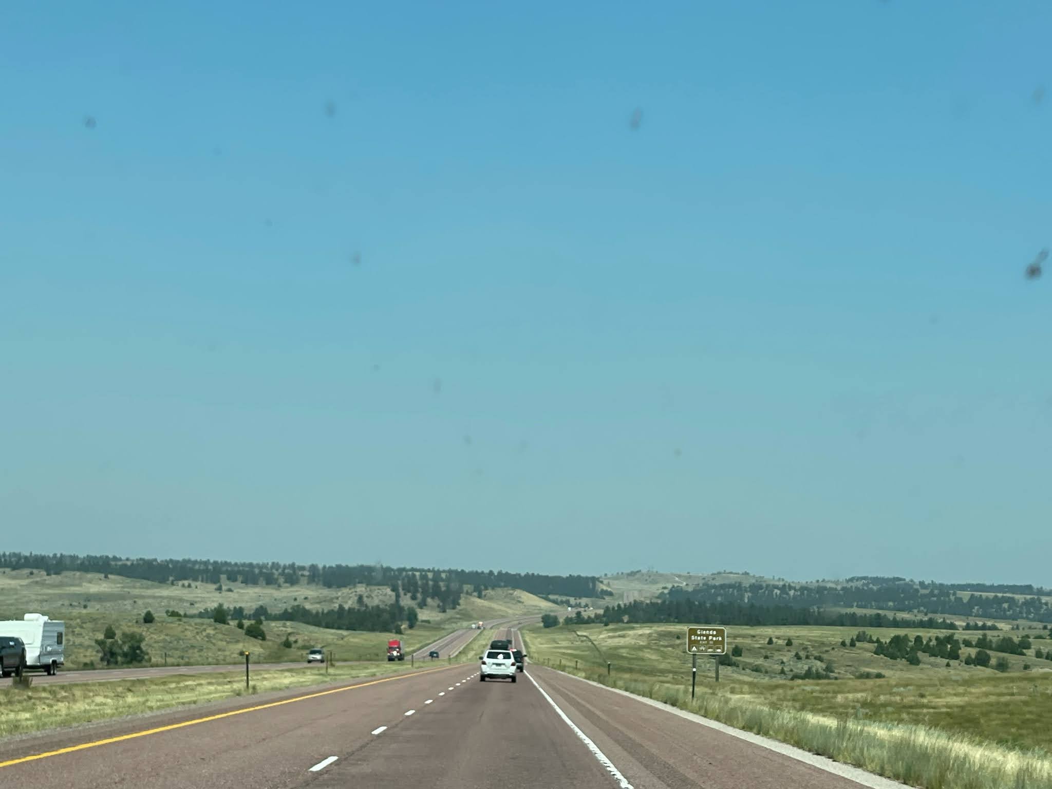
Beyond we see Nebraska countryside once again…

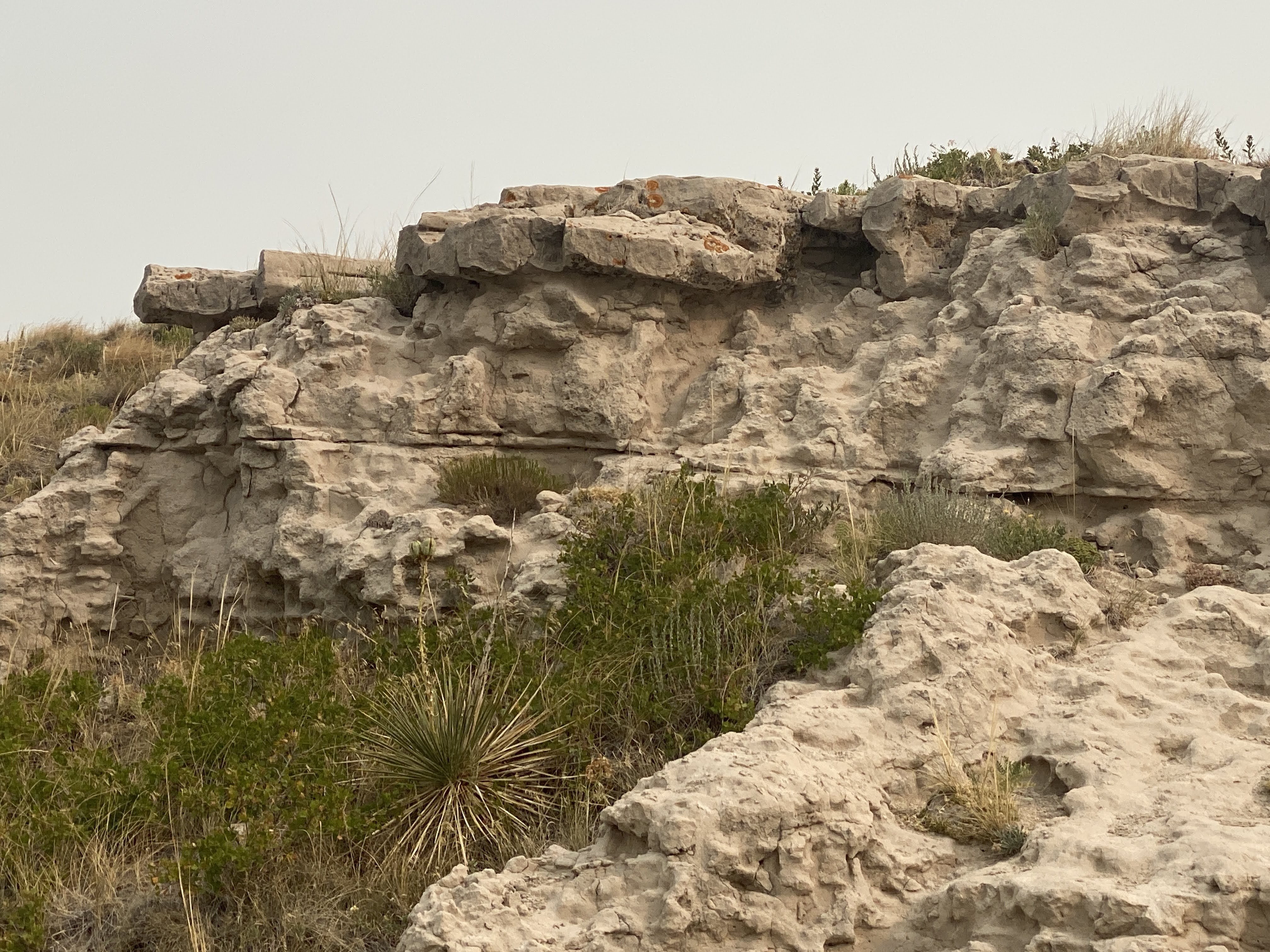
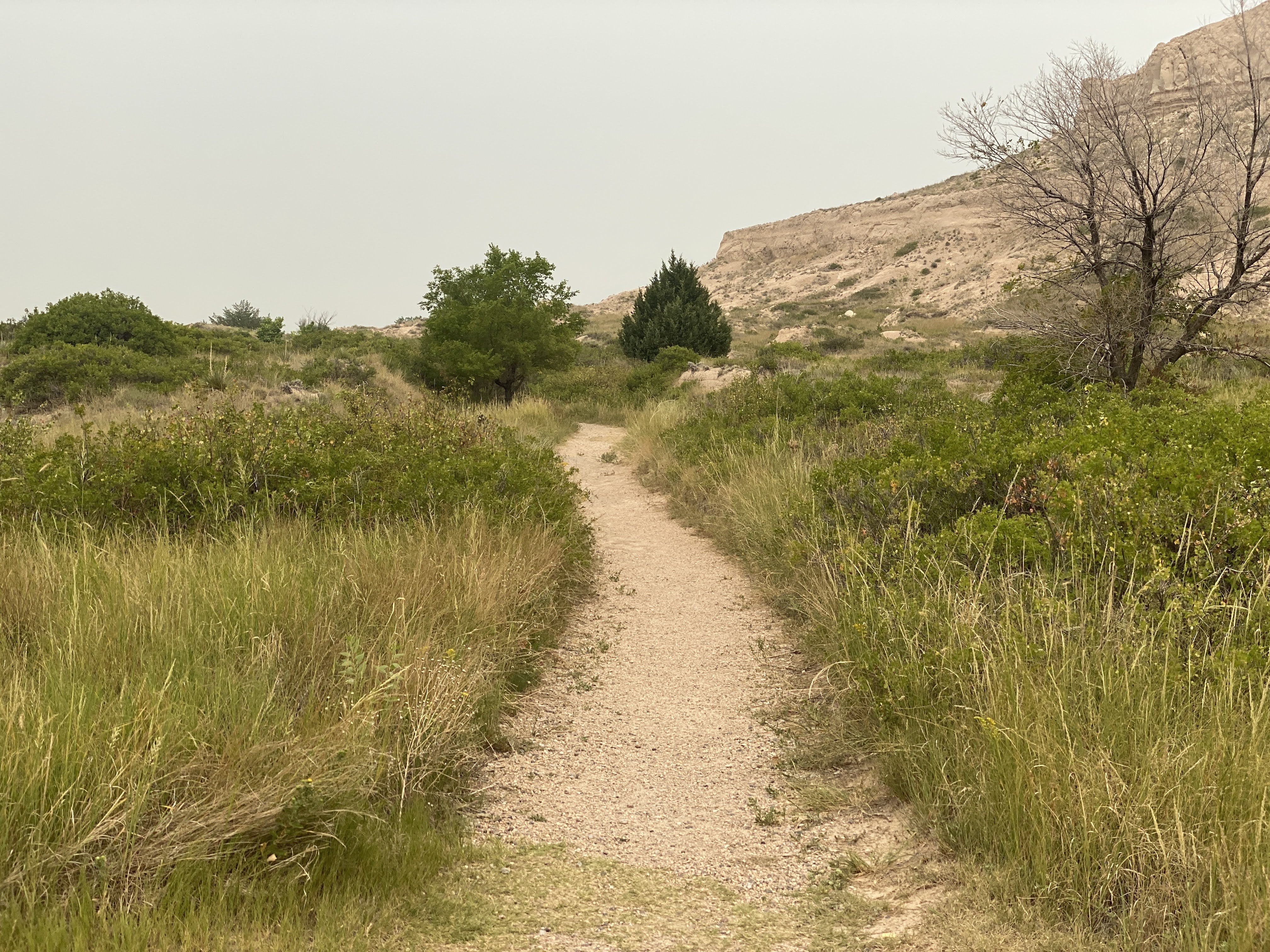
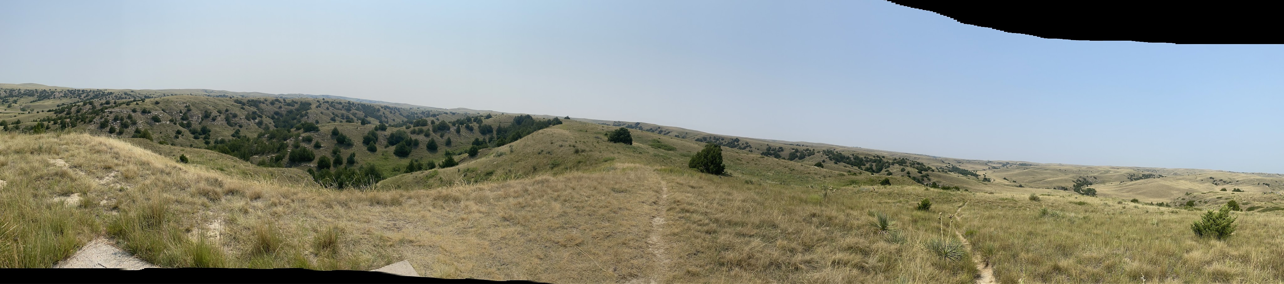
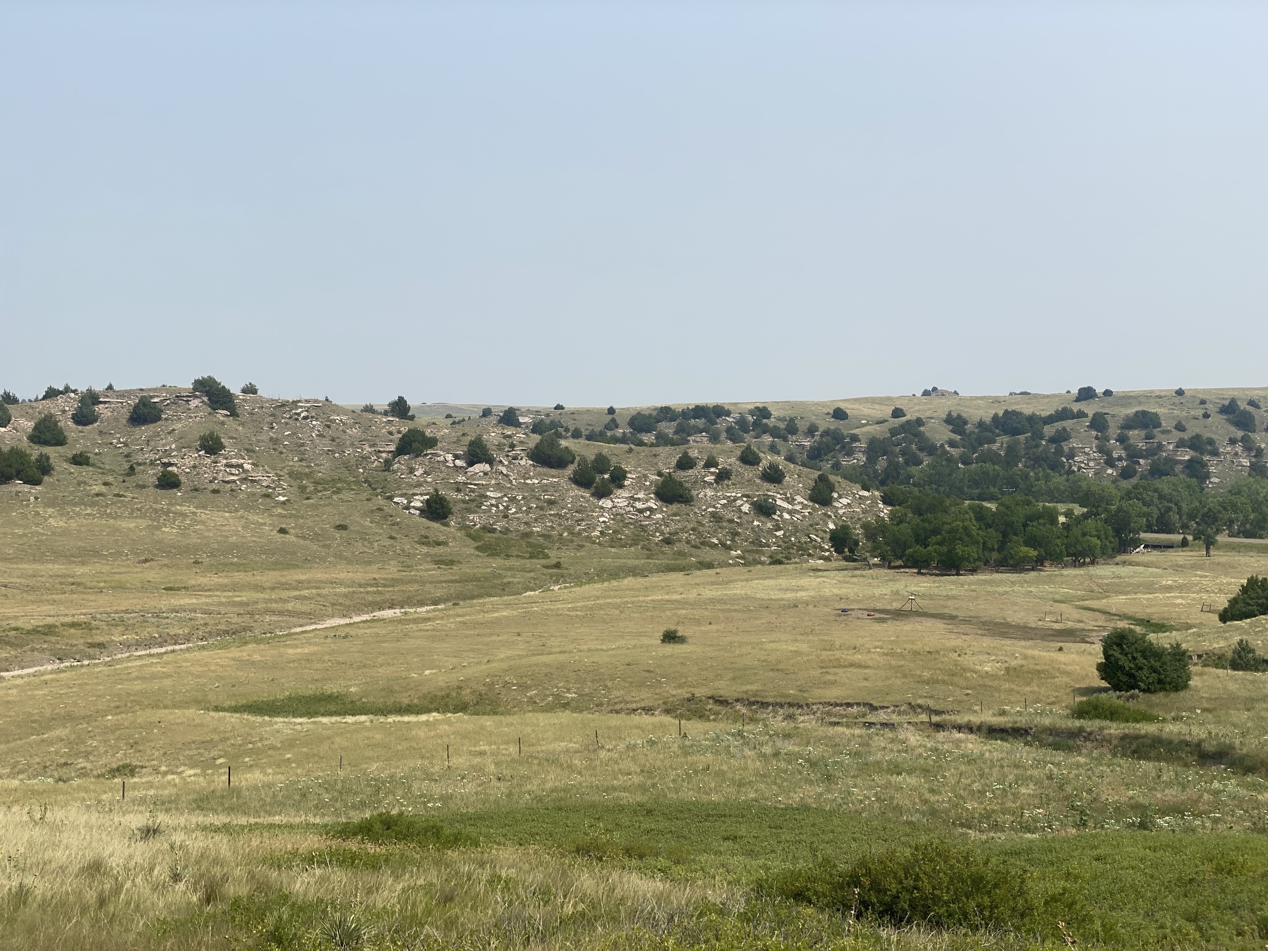
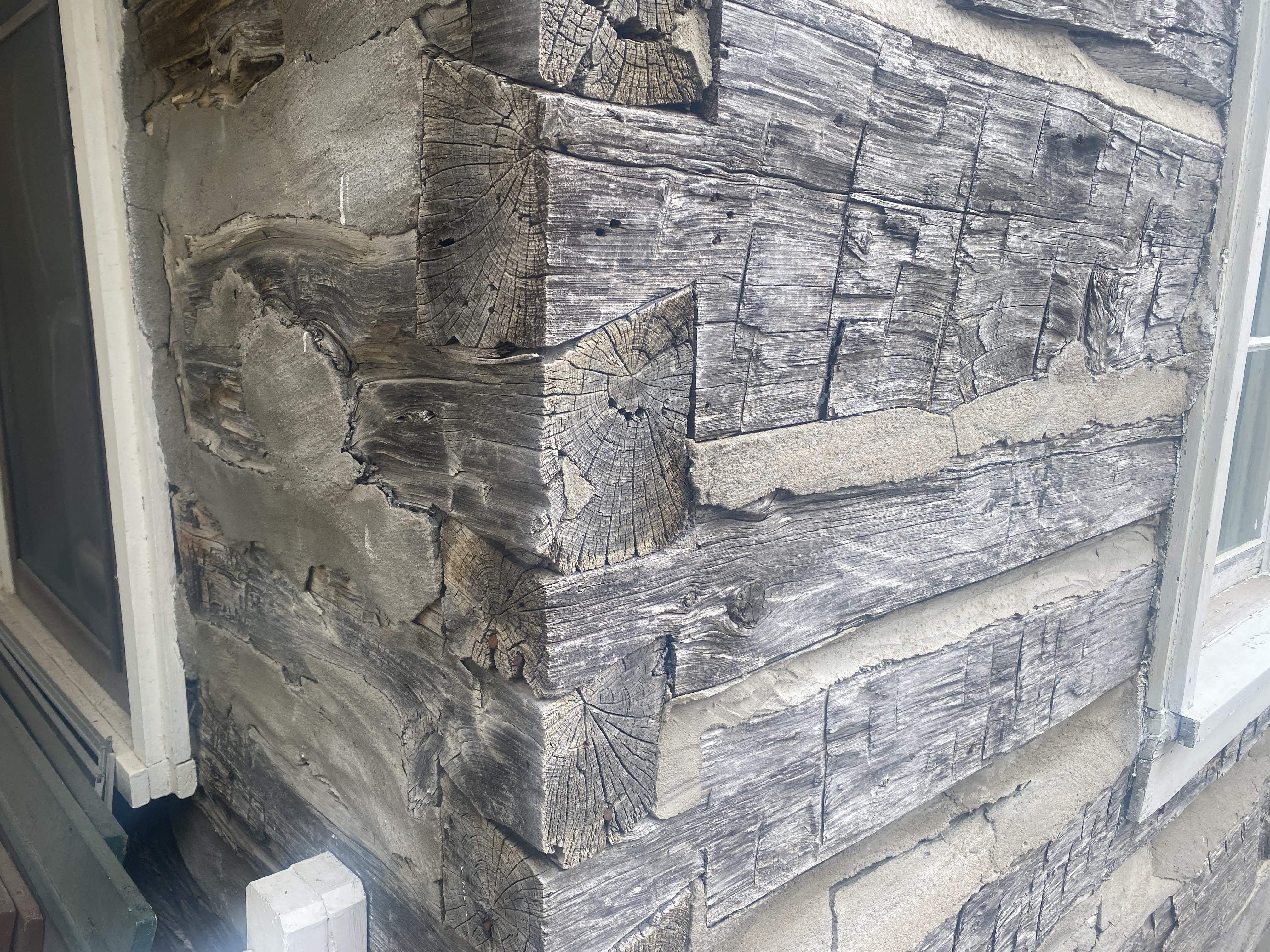
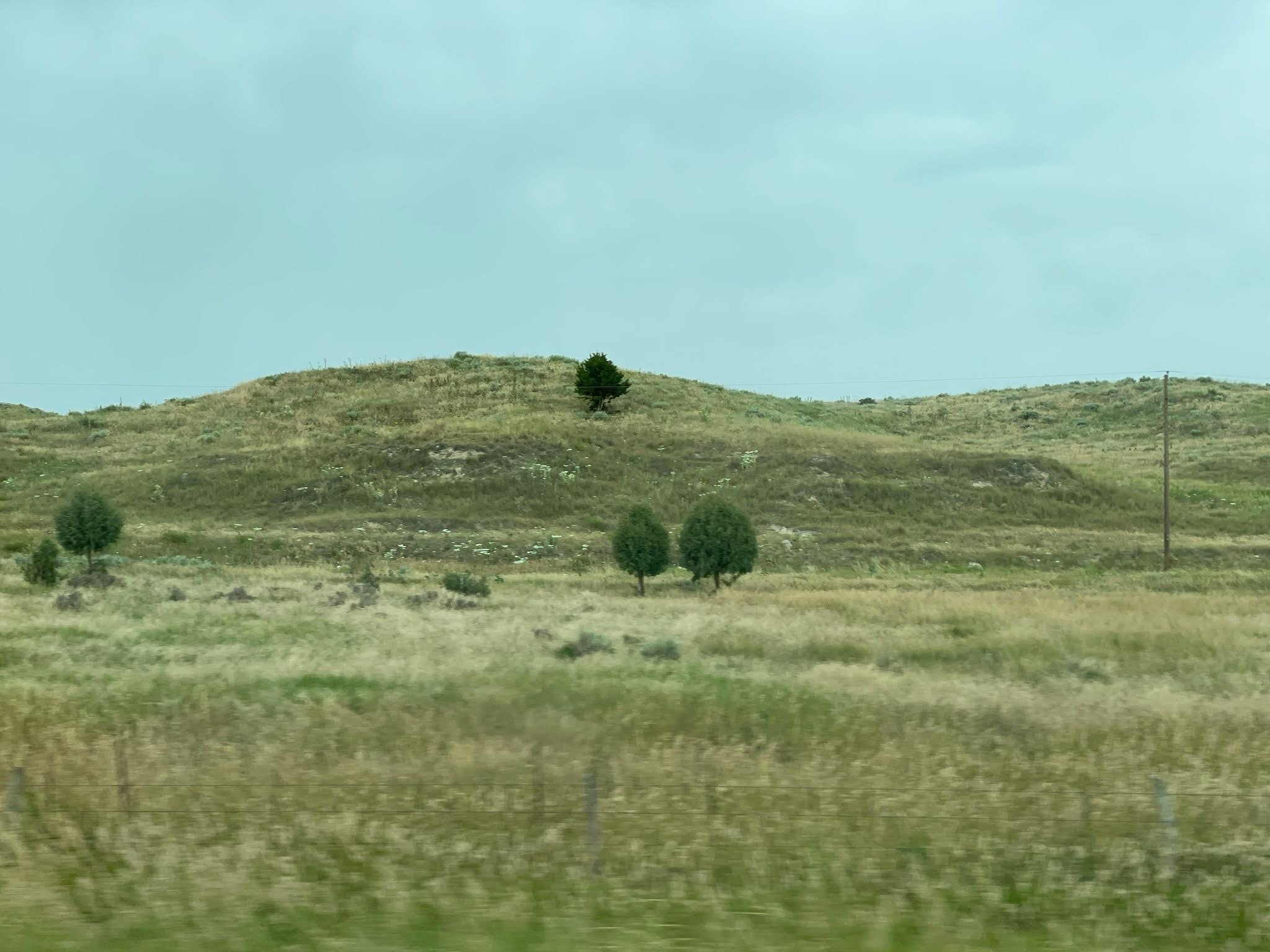
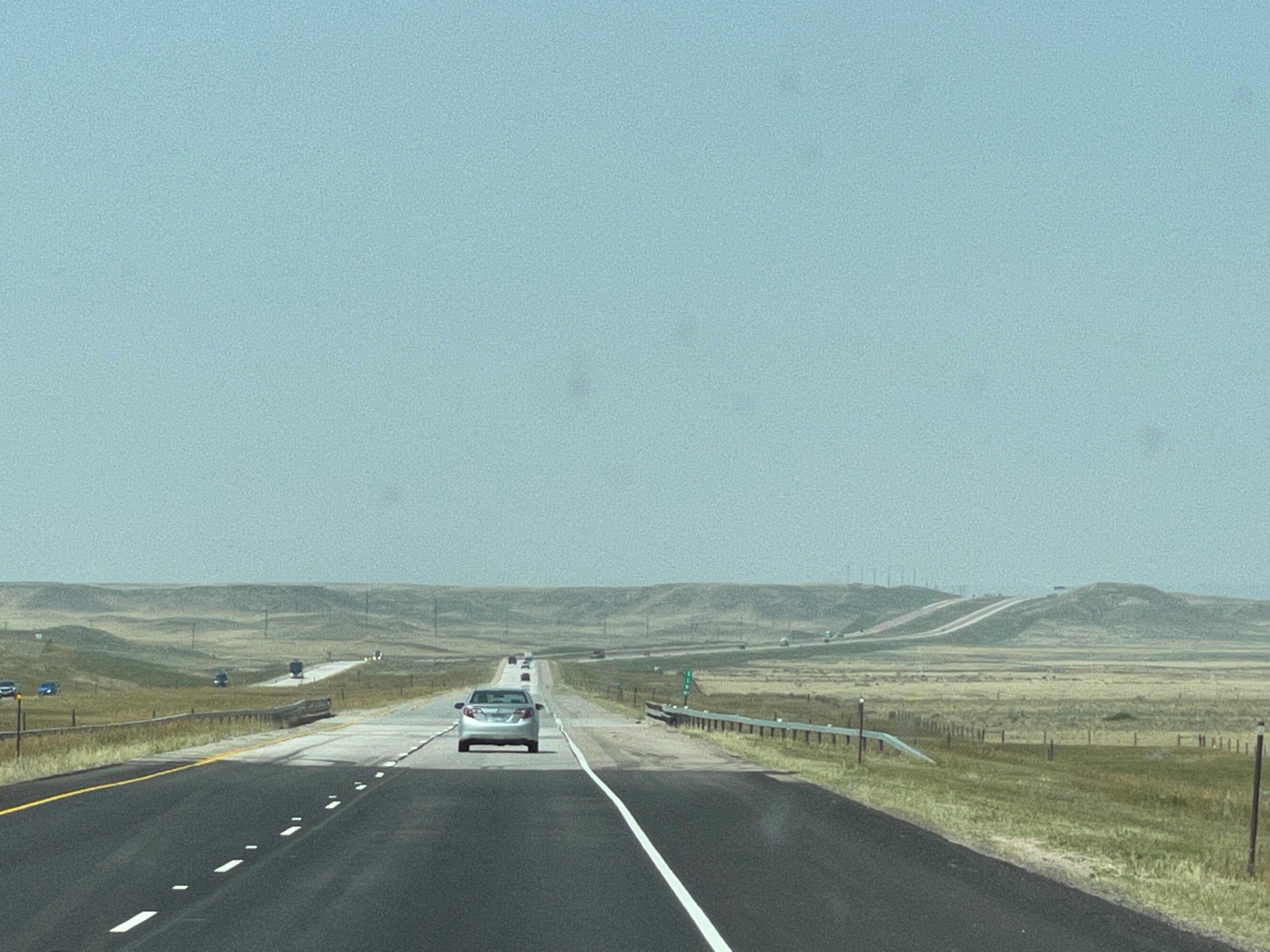
As we move west, closer to Wyoming, the terrain changes…

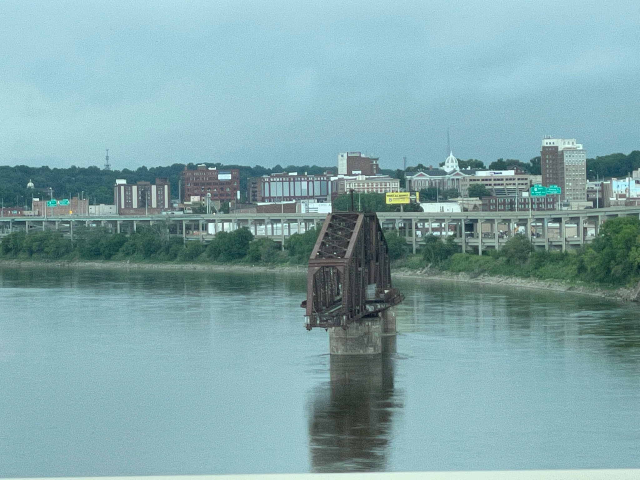
We entered Wyoming and found the town of Fort Laramie. Surprise! There is a fort here! As we headed for the fort we crossed over the North Platte River (for about the 8th time today…). Adjacent to the modern bridge we crossed is the old iron bridge built by the Army in the mid-1800s…

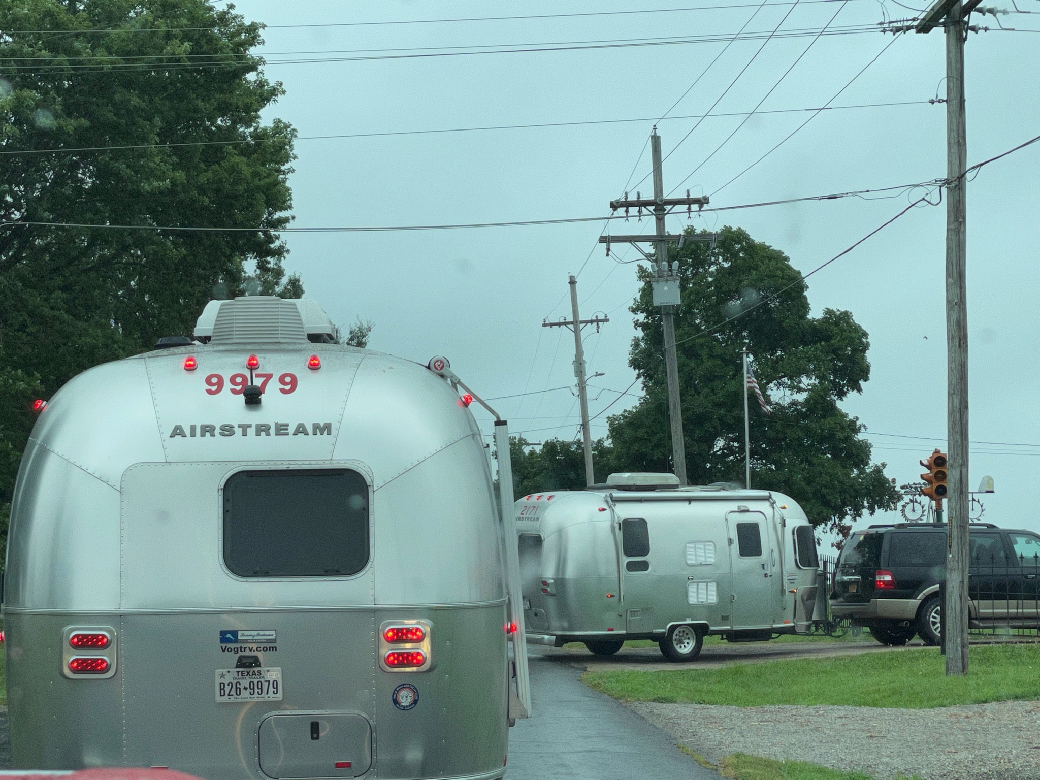
As we approached the fort we encountered three of our friends as they were leaving…

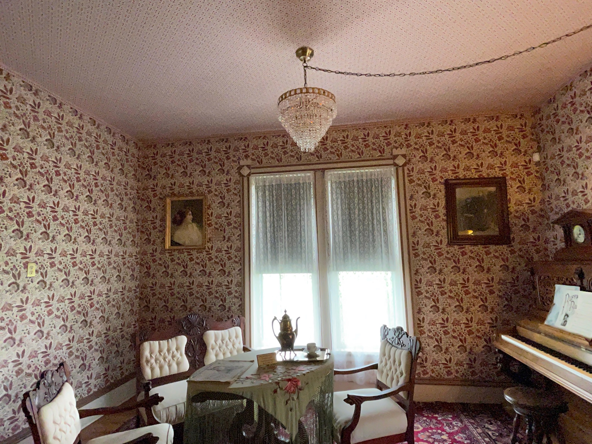
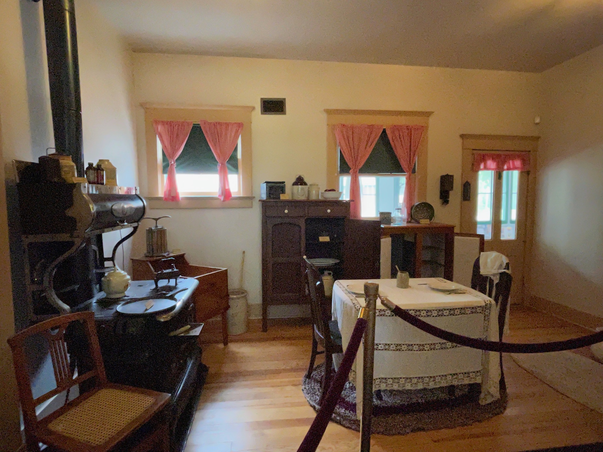
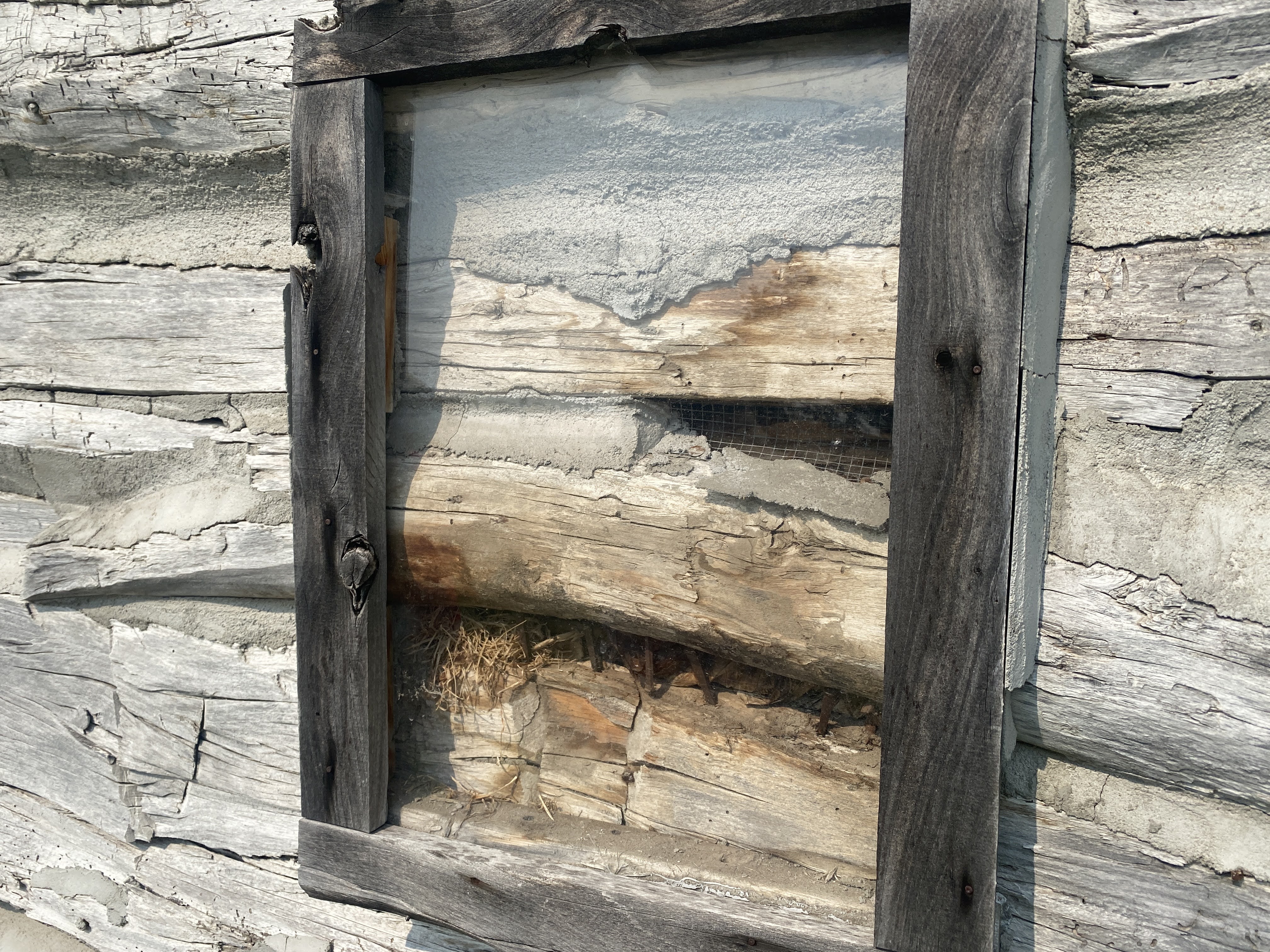
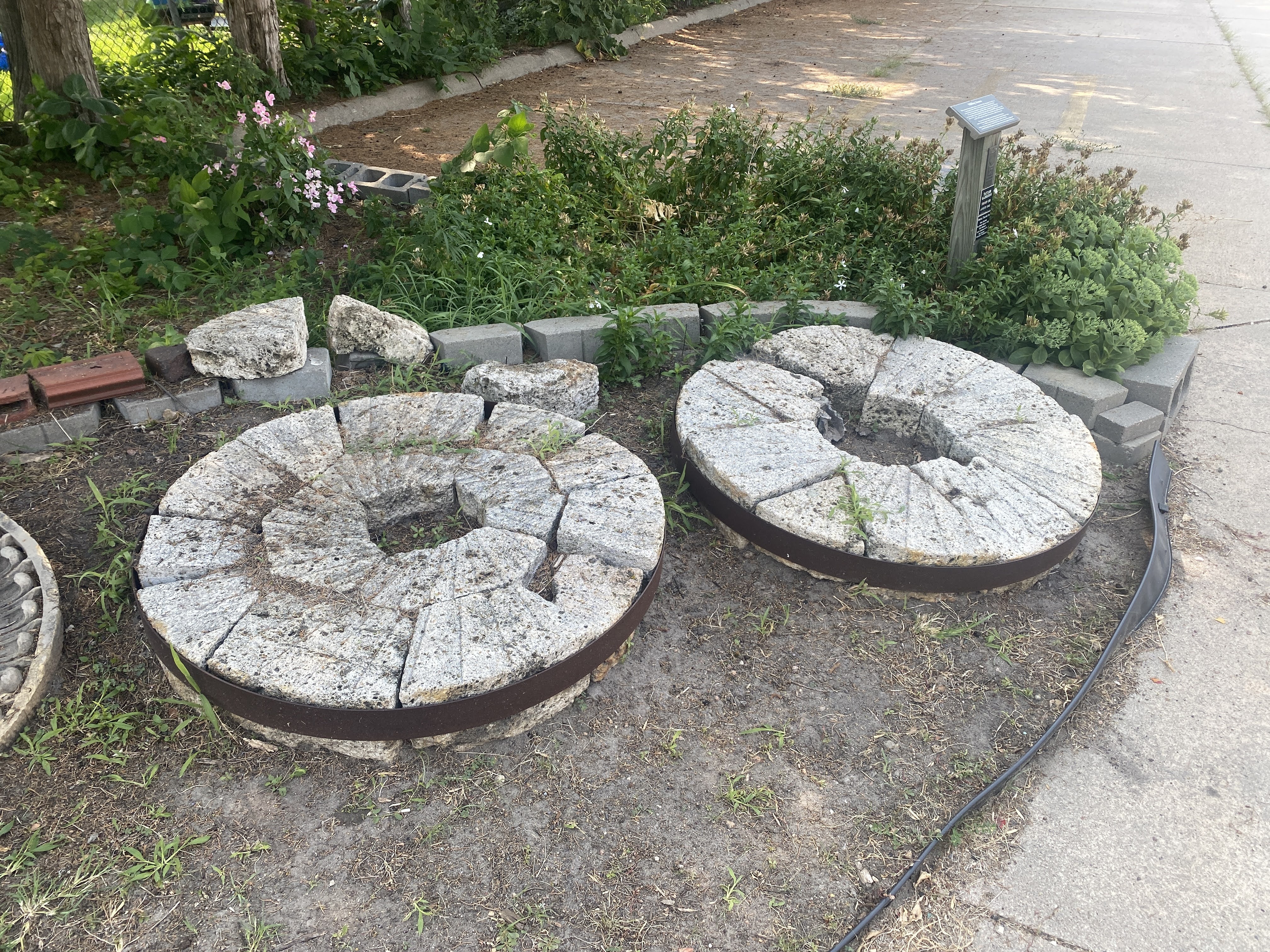
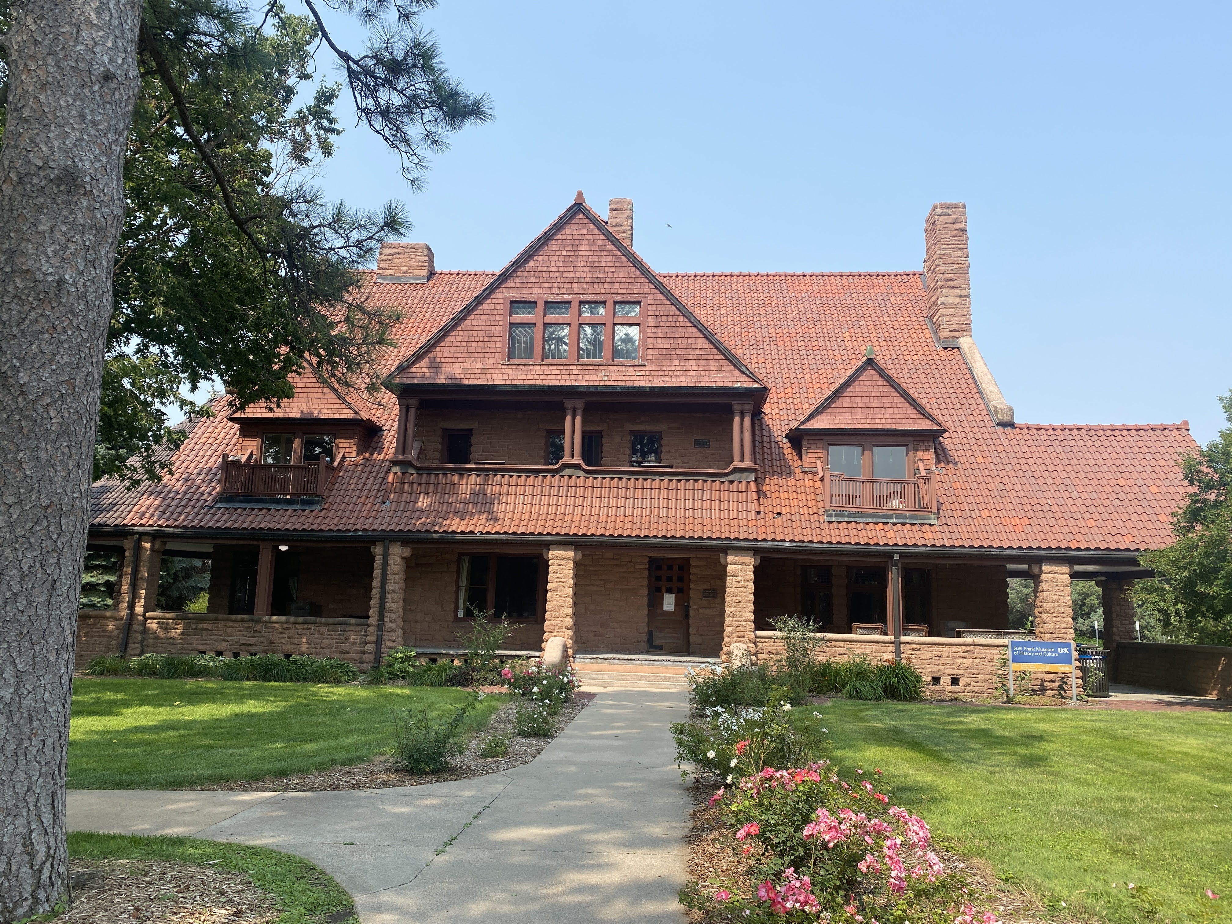
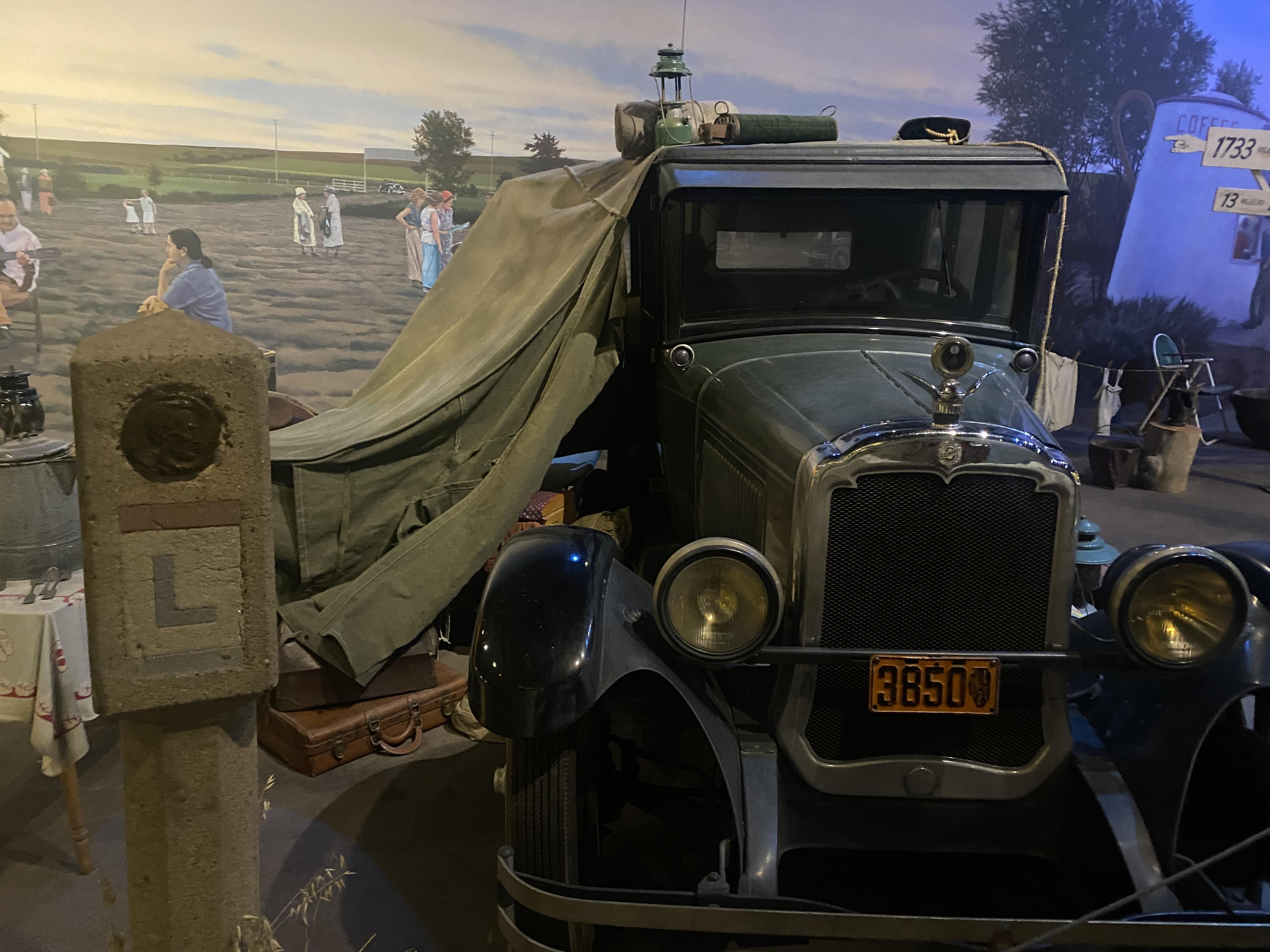
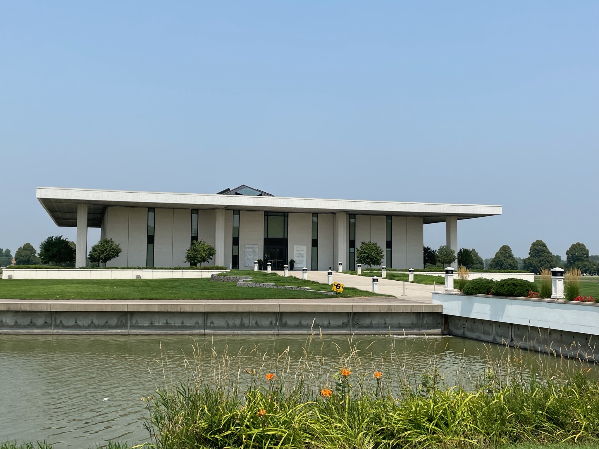
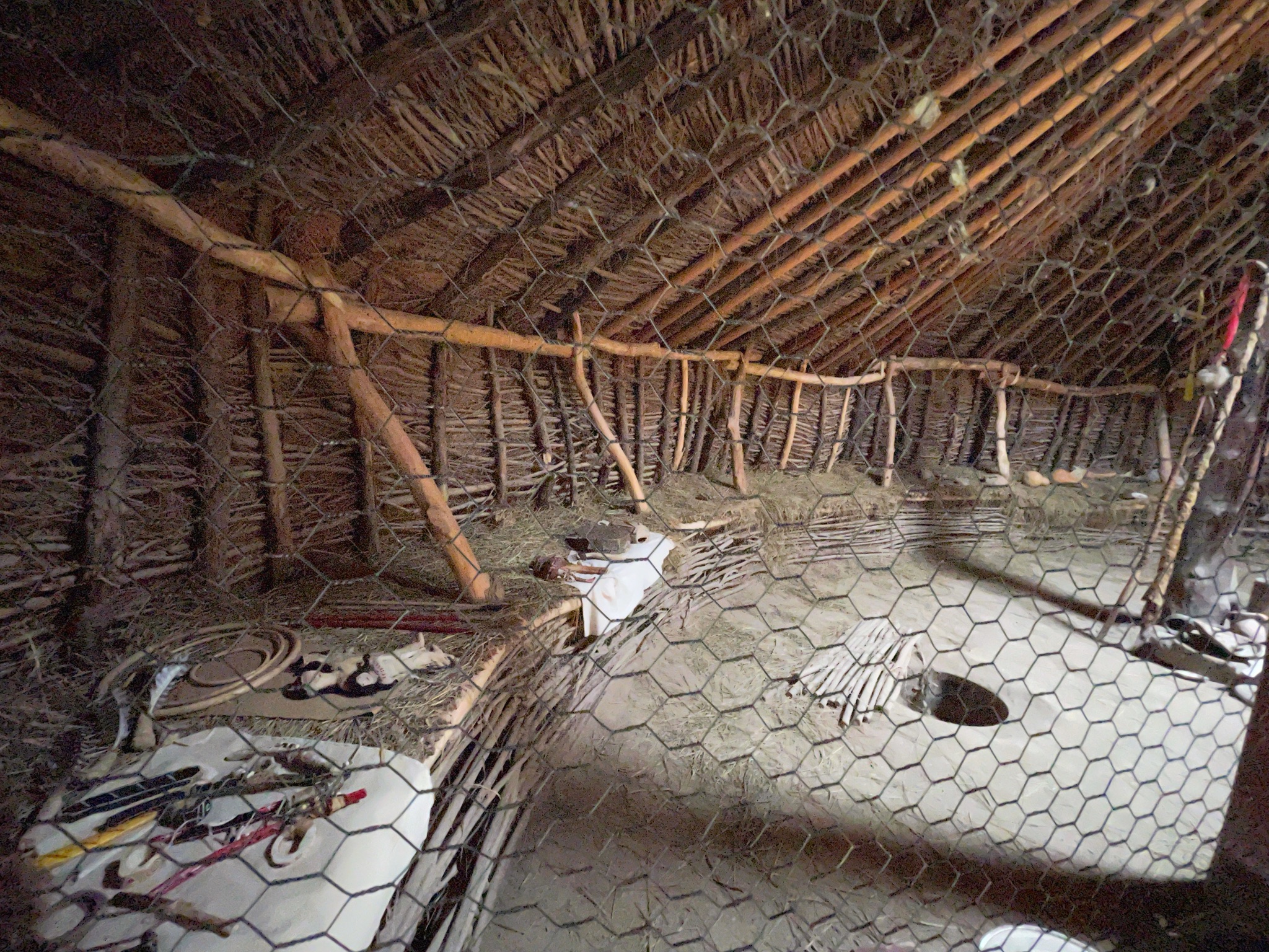
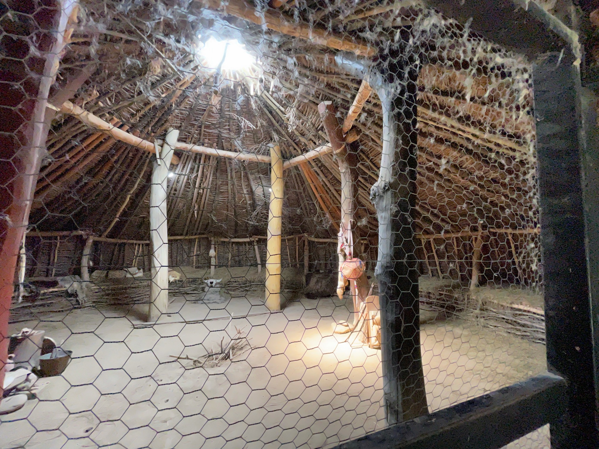
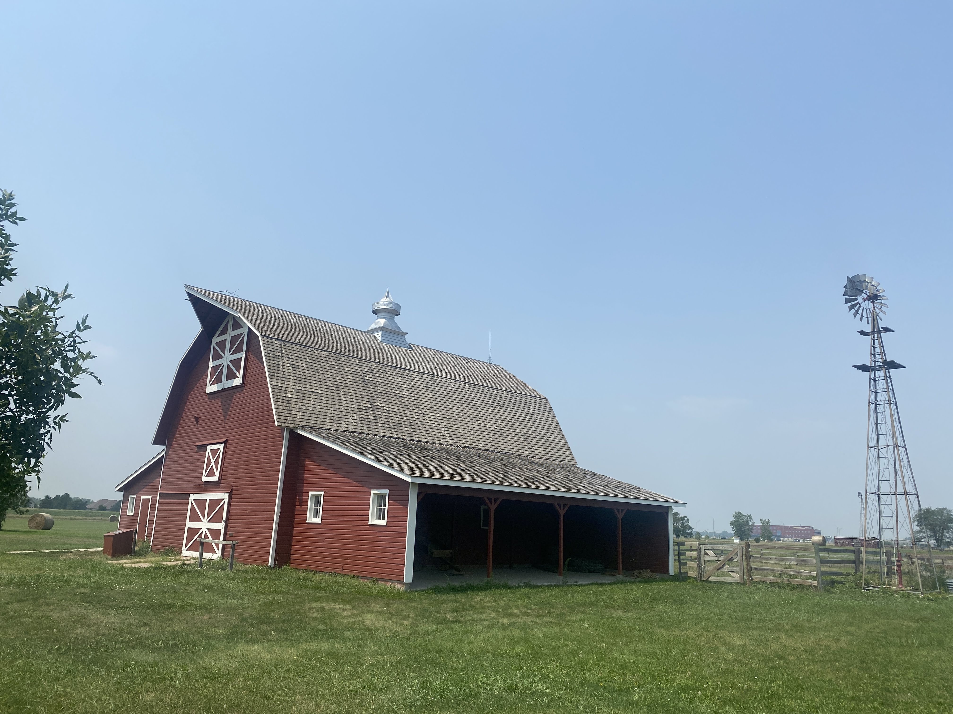
The visitors center had several well developed displays telling the history of the fort. It was originally a trading post, until the US Army bought it in 1849. By 1849, as California-bound 49ers joined the Oregon Trail emigrants the trickle of wagons across the plains had become a flood. The fort provided protection in addition to becoming a major supply post, the first since Fort Kearney, 600 miles to the east…

As the emigrants passed through the area they brought destruction… Annually, 10,000 wagons, 50,000 people, and 75,000 head of animals passed through here. The people and cattle killed and/or chased away the game, depriving the Indians of their food supply. Livestock trampled the grass across a two mile wide swath of land. The wagon wheels scarred the land; these scars are still visible over 150 years later. (As we will see at our next stop…)

Peace with the Indians was spotty at best. Treaties were made, treaties were broken. The Platte River Ferry incident and the Grattan Fight brought peace to an end. For 25 years the Northern Plains Indian Wars raged. By 1860, as the emigrant traffic slowed (with the introduction of stagecoach travel, and then train travel) the fort transformed from a rest stop for emigrants into a base of military operations against the Northern Plains tribes…

Through the 1860s the fort stood as a vital link between the east and west. 500,000 people now lived west of the Rocky Mountains. In 1860 the Pony Express came through, followed by the transcontinental telegraph. When the Civil War began, troops were withdrawn from the fort. The small crews left behind had to scramble with maintaining the hundreds of miles of telegraph lines. As the Indian wars rages, Indians attacked the fort, telegraph lines, stagecoach travel, and the wagon trains. The Fort Laramie Treaties of 1868 held the promise of peace on the plains. It was short lived…

The beginning of the end was Col. Custer and his defeat by Sitting Bull at Little Bighorn in 1876. This so enraged the army (and the federal government) that they set out on a mission of retaliation. This culminated at Wounded Knee in 1890, with the slaughter of between 150-300 Lakota Indians by the US Army. It ended any organized resistance by the Indians to living on reservations.

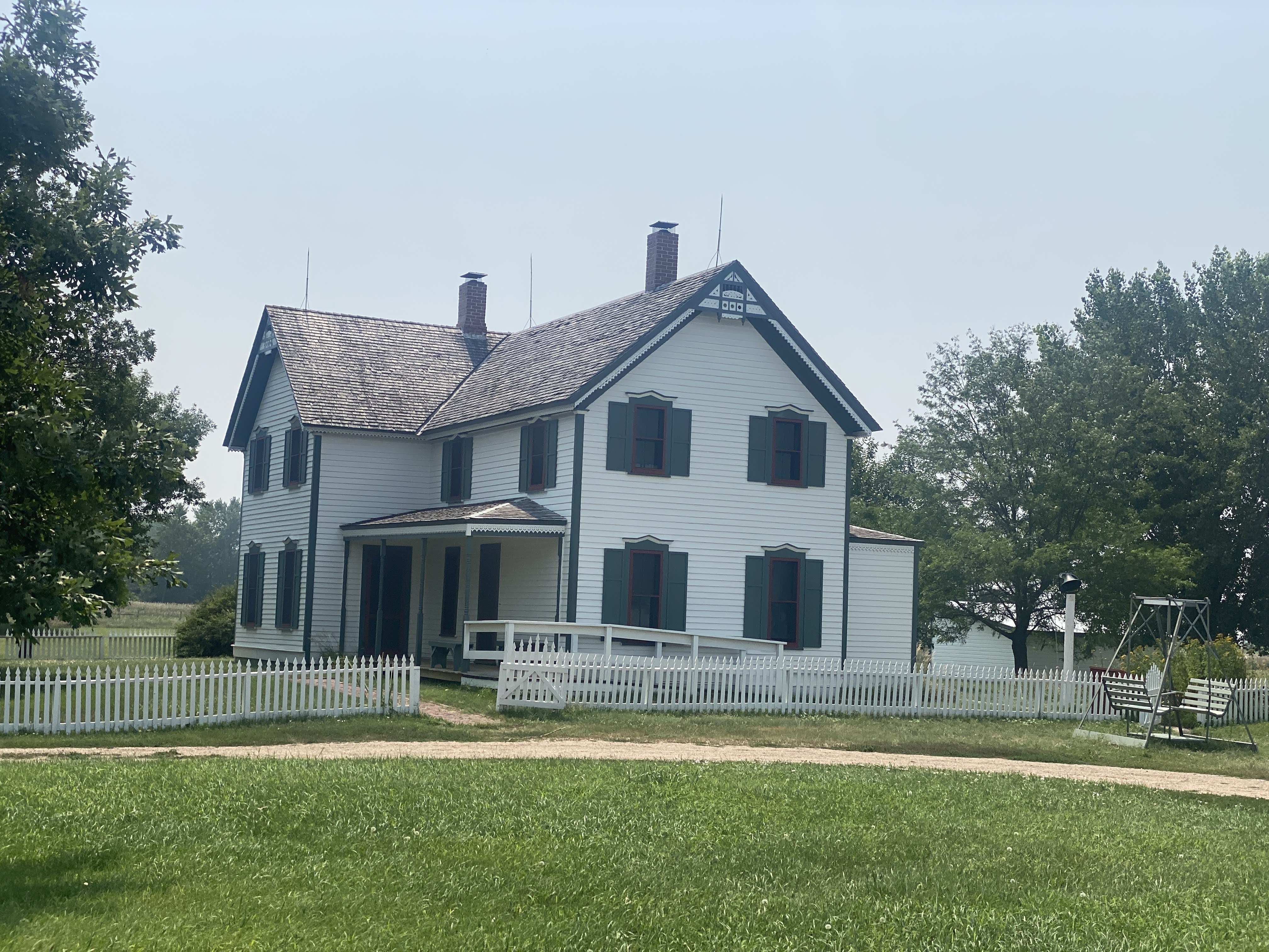
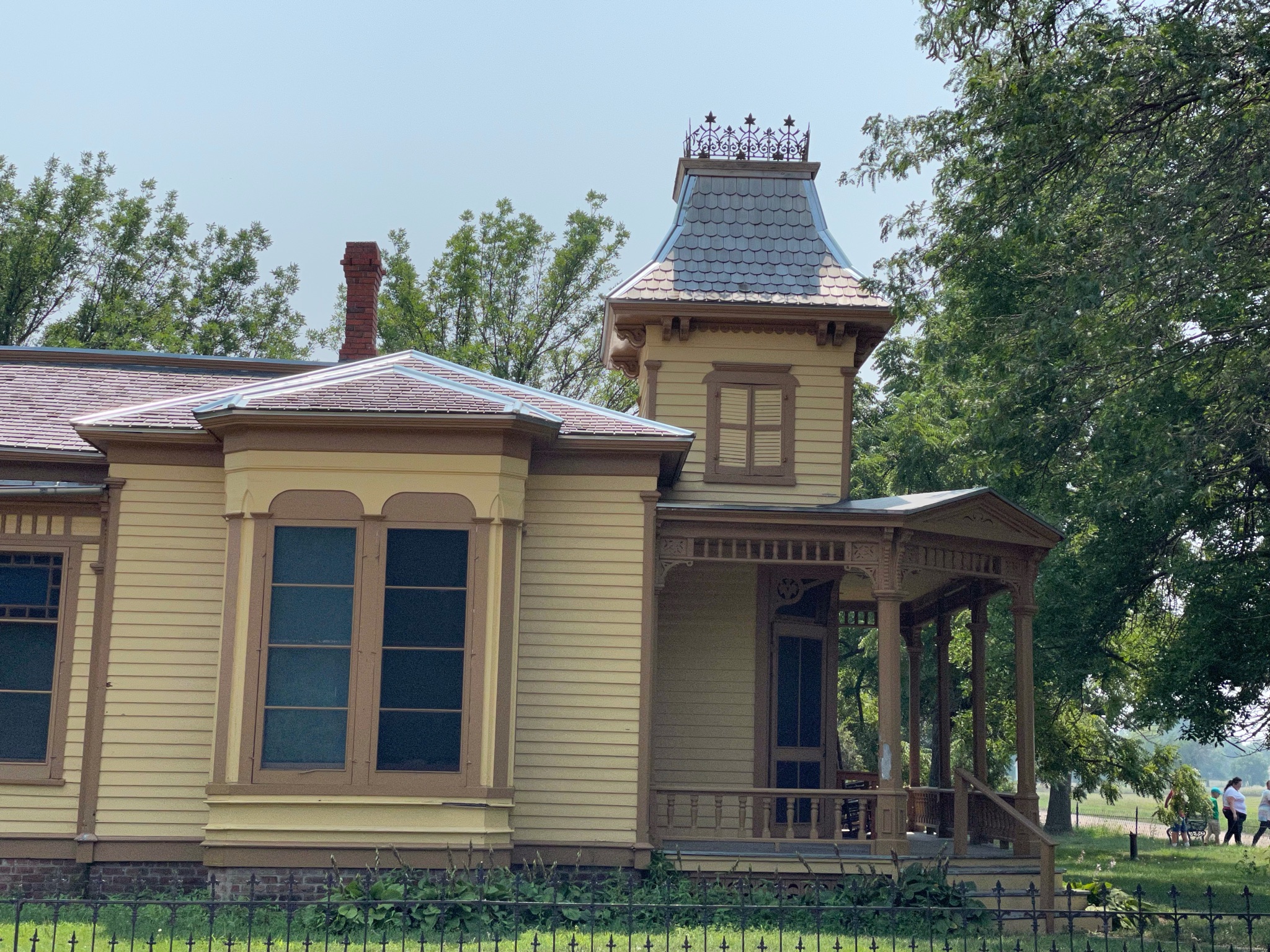
Fort Laramie in the 1880s was a “golden era”, as a false sense of of permanence prevailed. New buildings were built, old buildings were improved, and an active scene prevailed among the officers and the local citizens. In the mid 1880 a railroad nearby brought all the amenities of Victorian life to the fort.

In 1886 a new, larger railhead was built at the adjacent Fort Robinson. It made Fort Laramie superfluous. In 1889, the fort was closed and abandoned. In 1890, the land and buildings were sold at a public auction. Also in 1890, Wyoming was declared a state and the Indians were all on reservations. In 1890, the Superintendent of the Census declared that the American frontier had ceased to exist.

In 1937 a group of local residents of the town of Fort Laramie finally prevailed on the state of Wyoming to purchase 214 acres of old fort property, and preservation and restoration of the fort was begun.

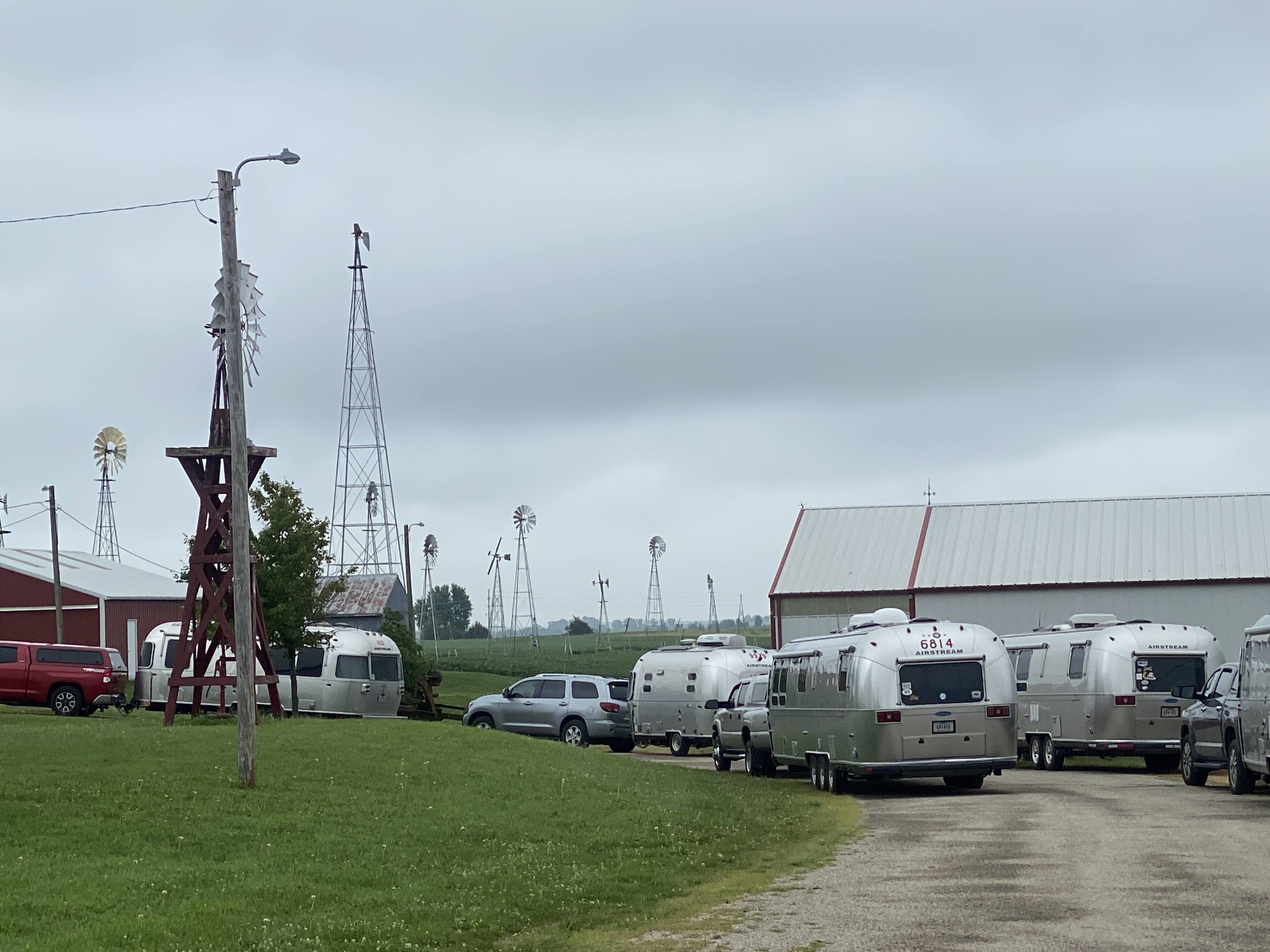
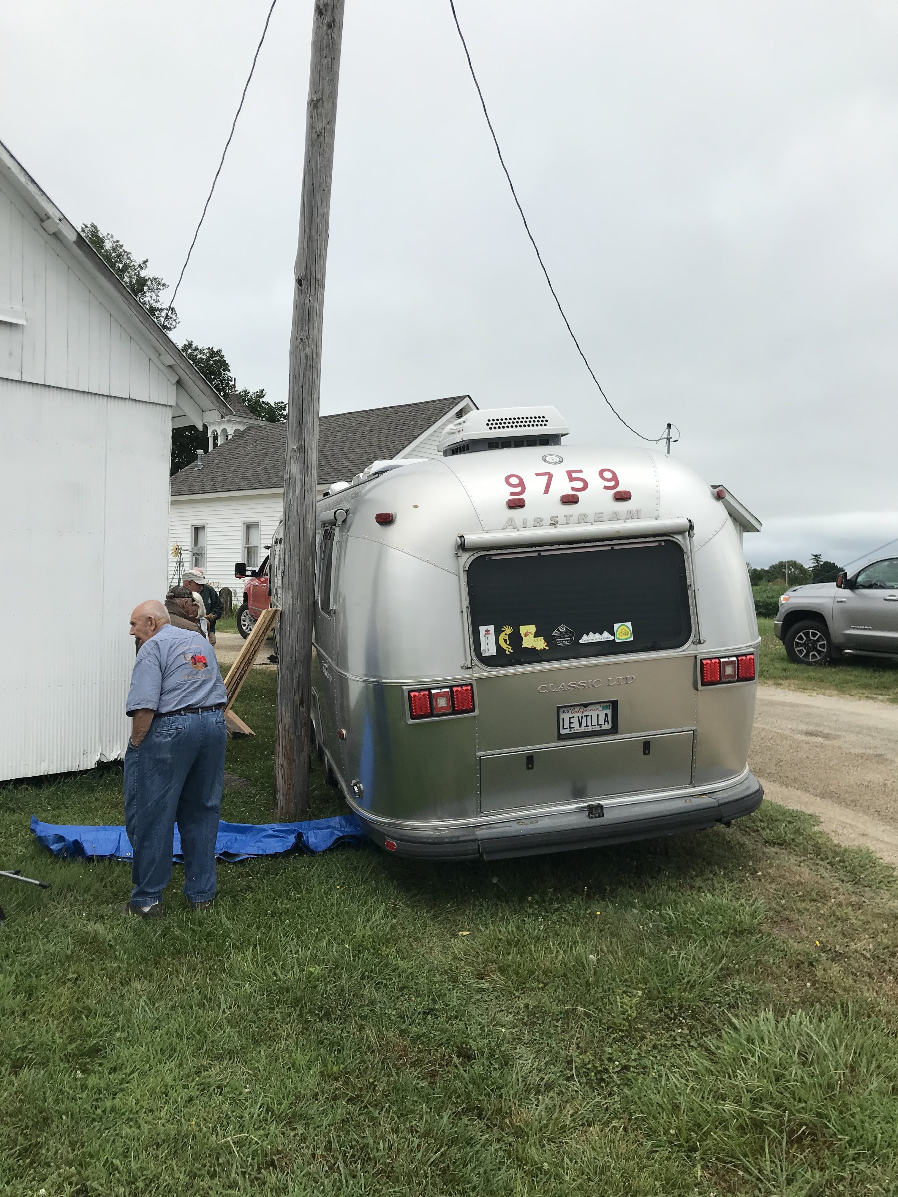
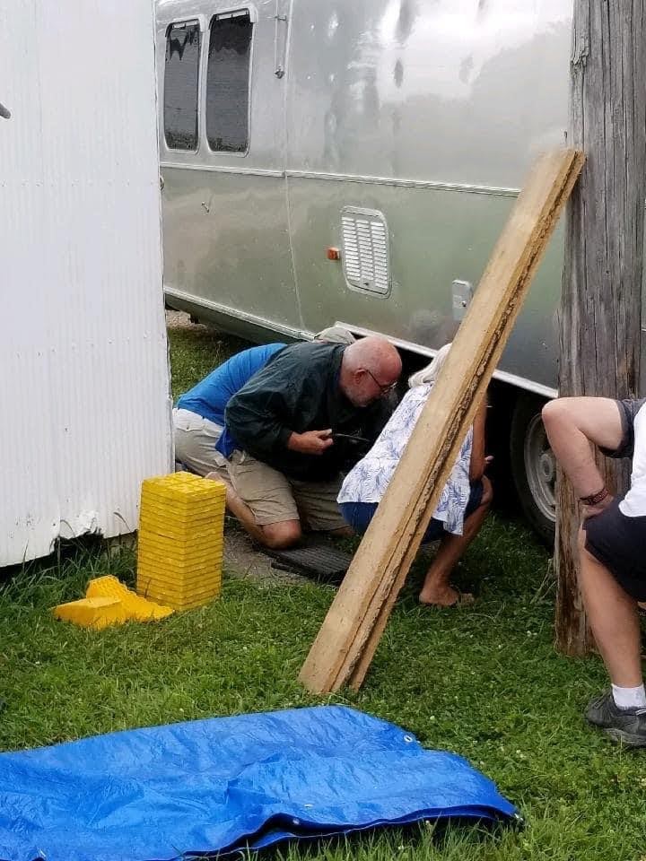
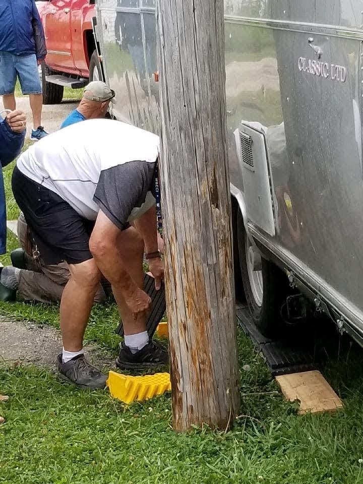
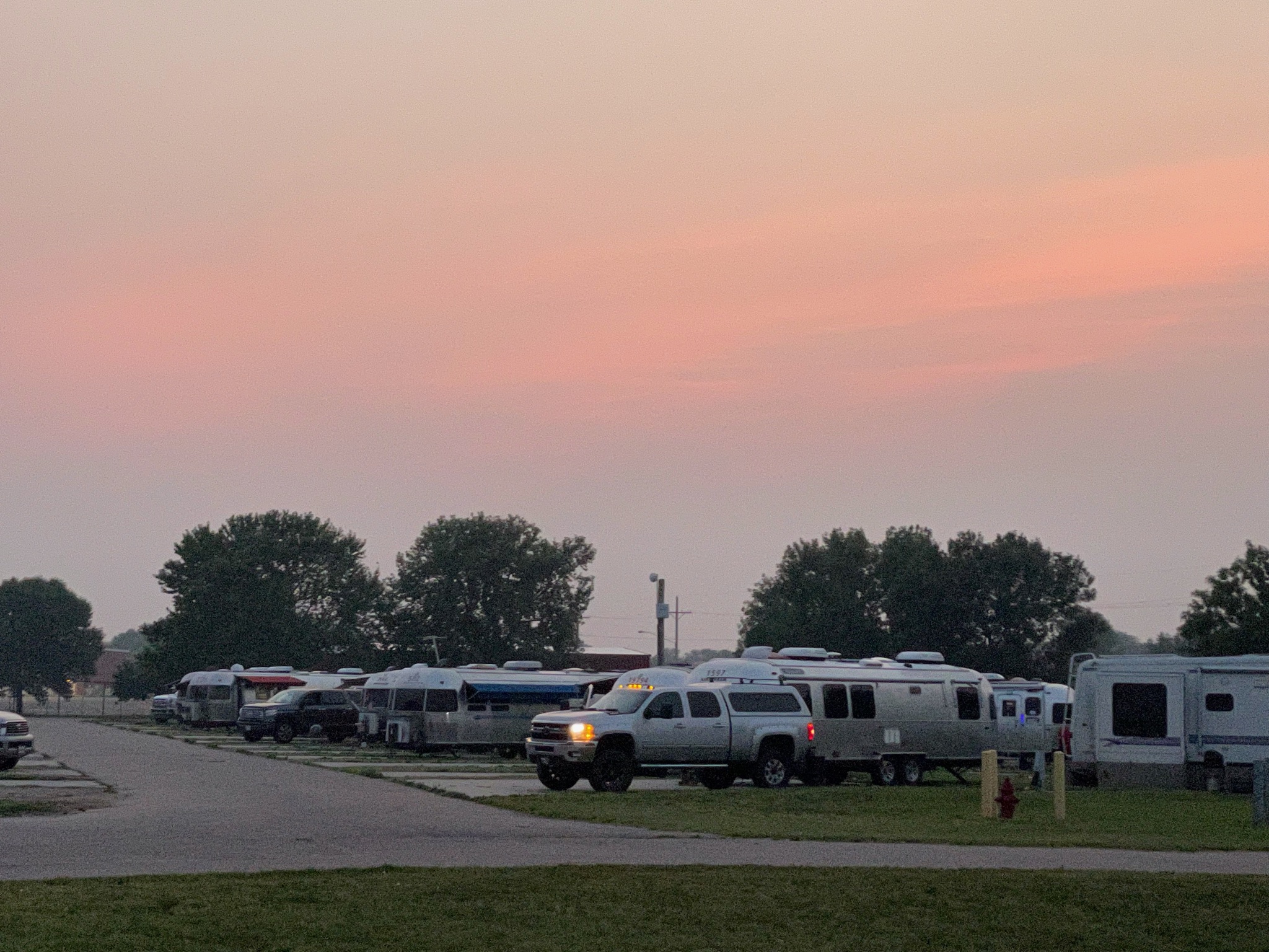
I’m not a fan of forts and old buildings like this. We saw the fort, we learned the history, and we traveled on… It was a god thing that we were leaving now… In a few minutes the parking lot looked like this:

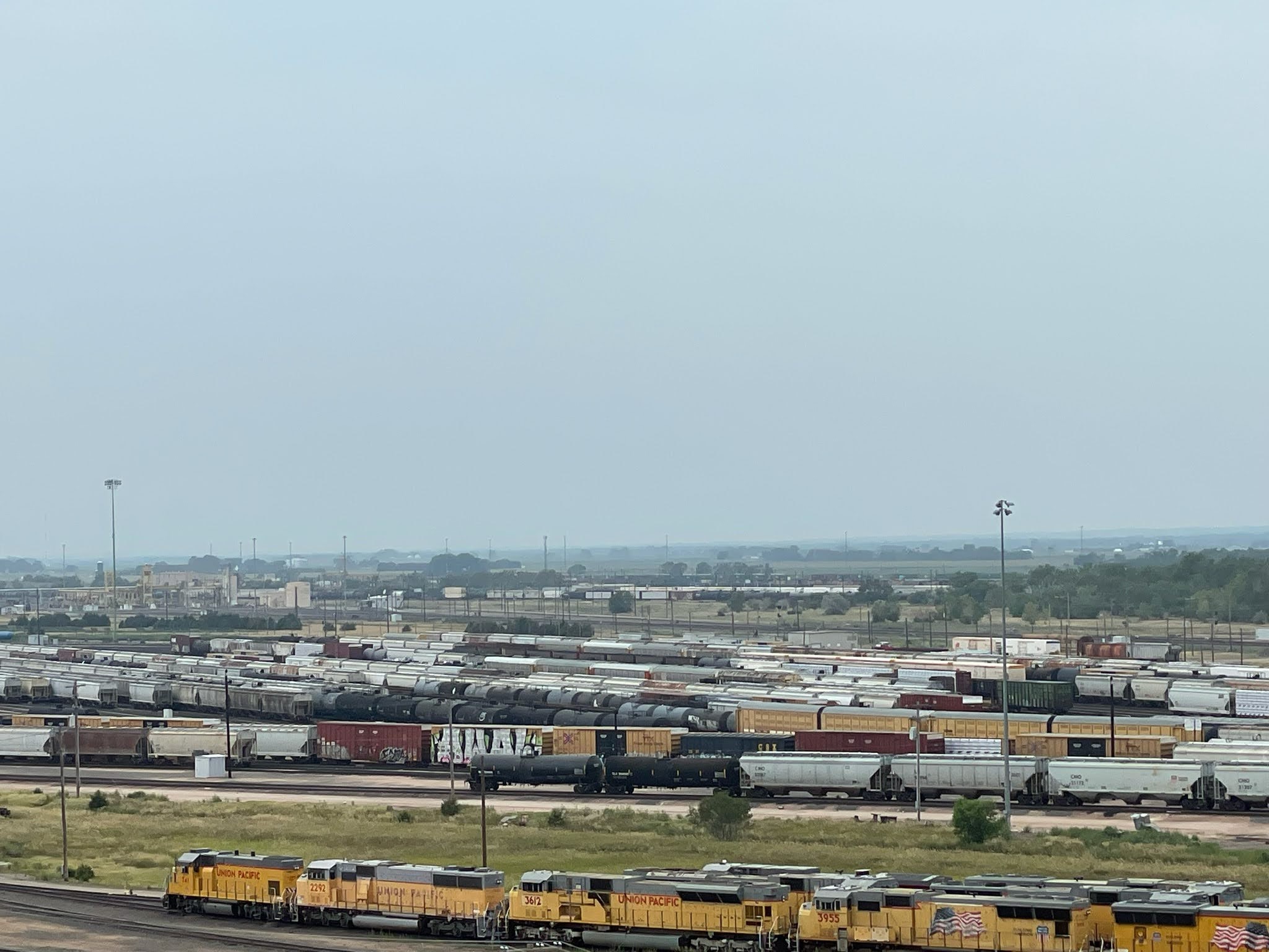
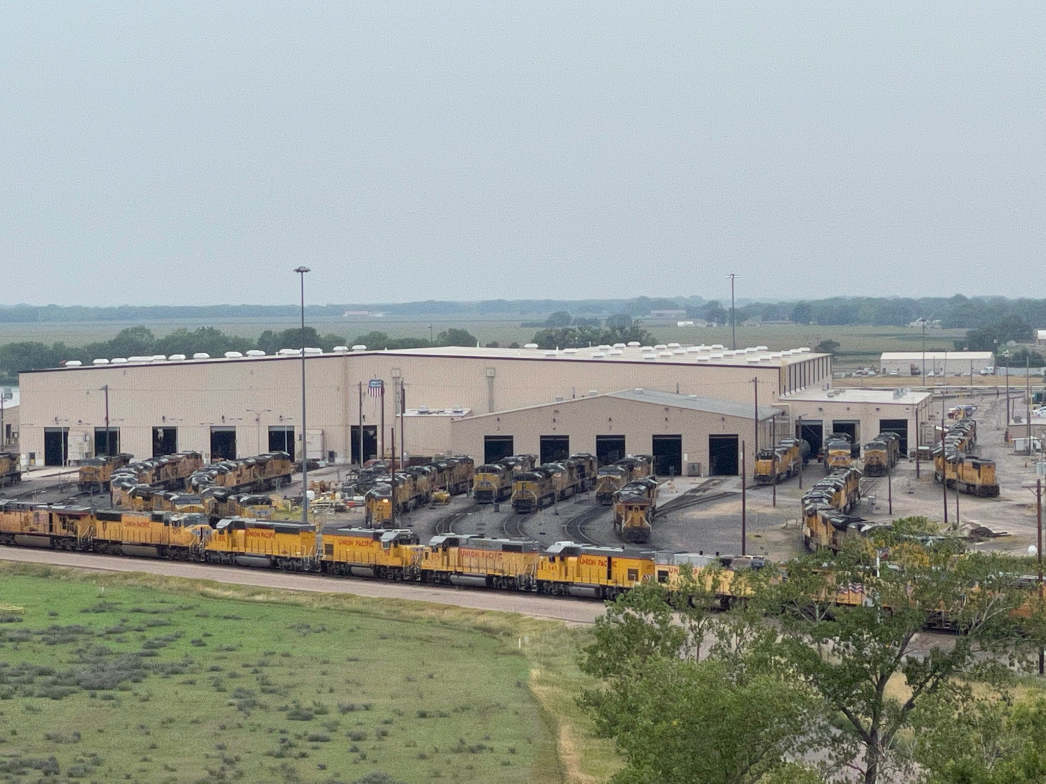
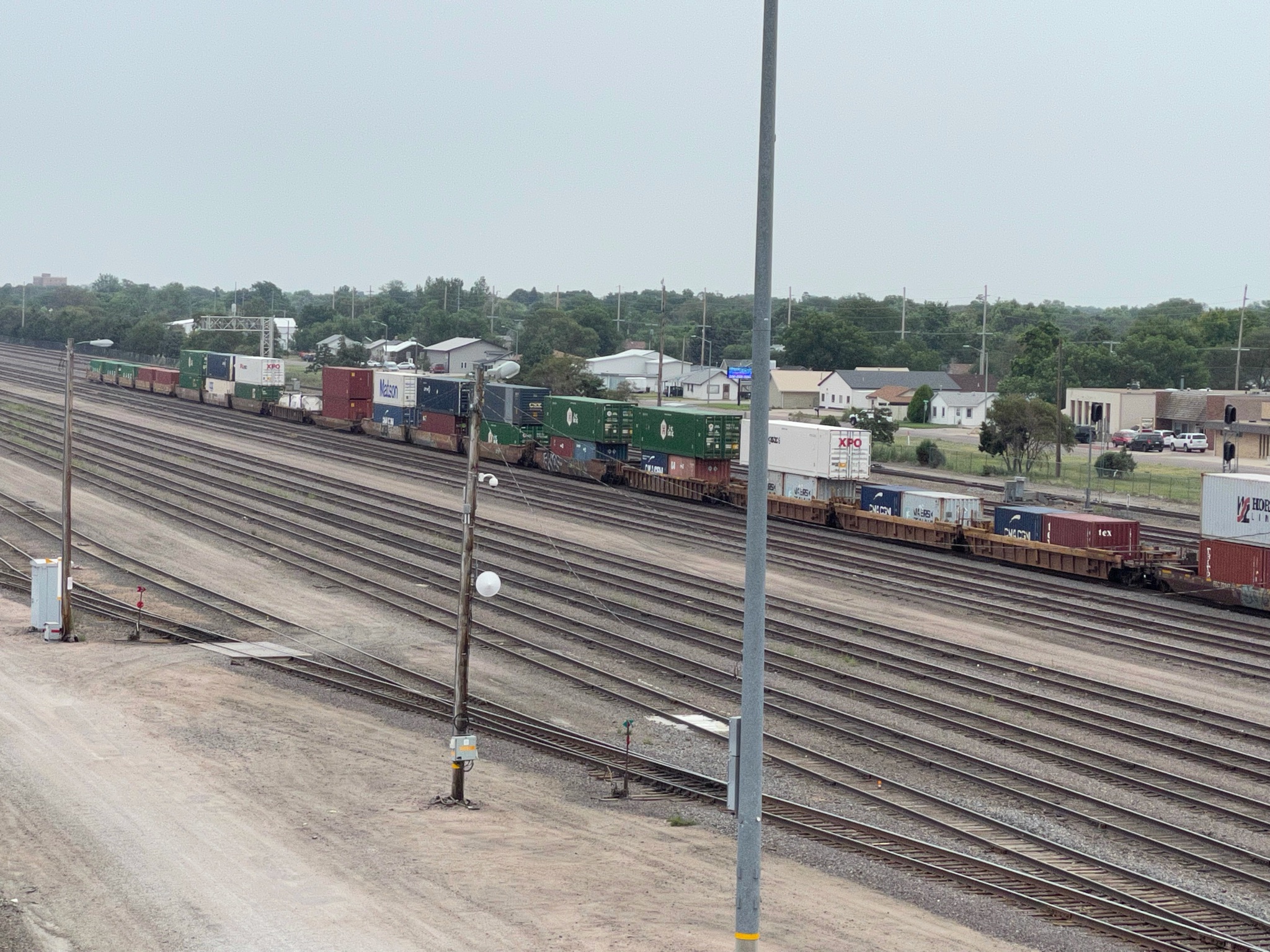
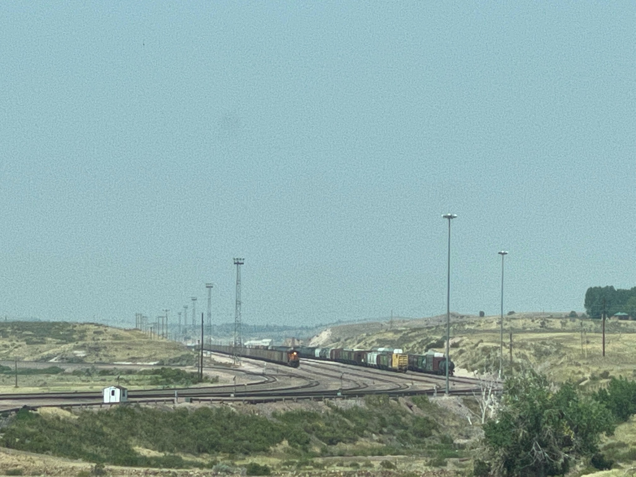
So we hurried on… About ten miles down the road we came to the town of Guernsey, with its giant rail yard. All these train cars are filled with coal, heading into Nebraska to fuel the 15 giant power plants there…

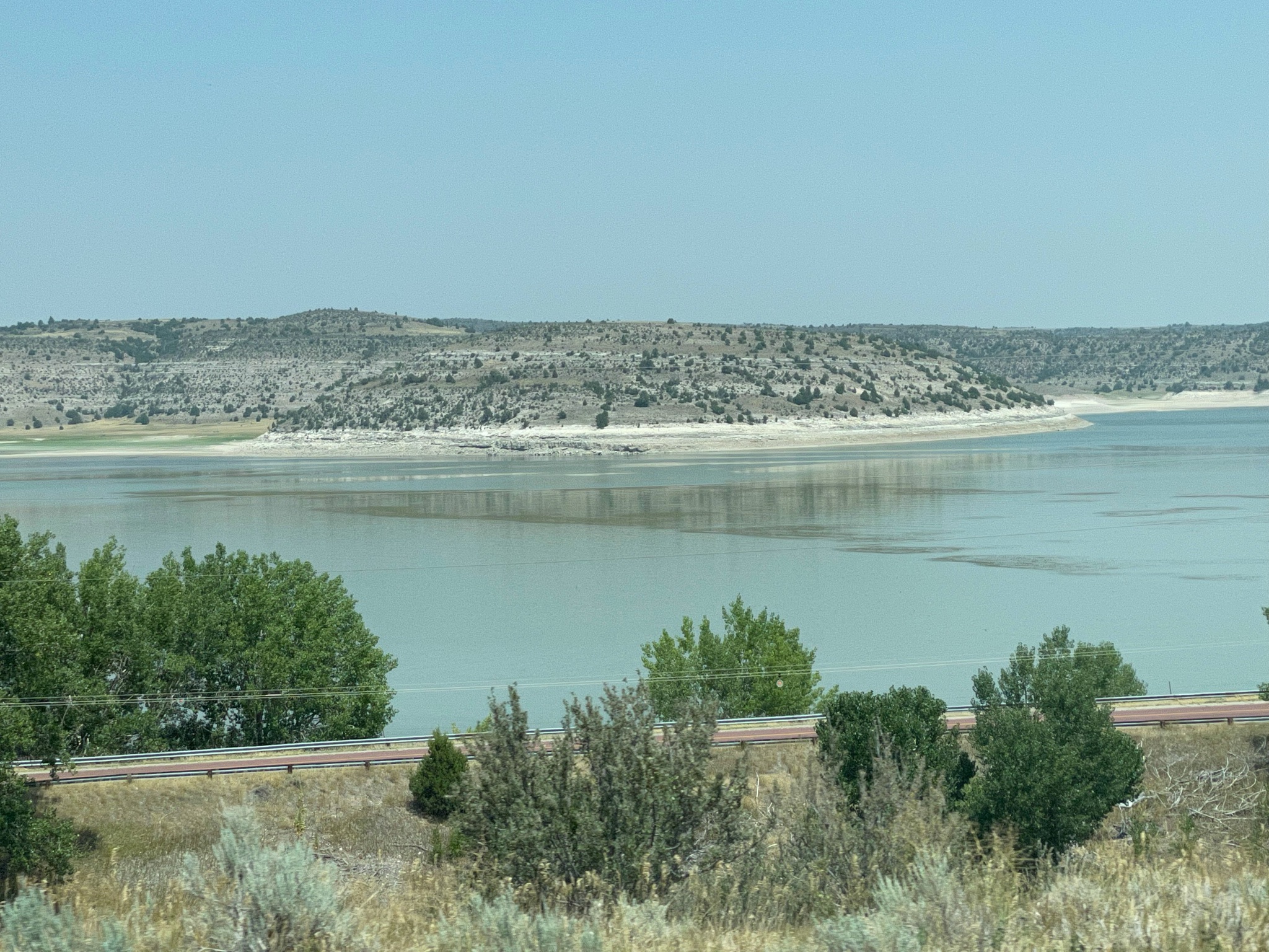
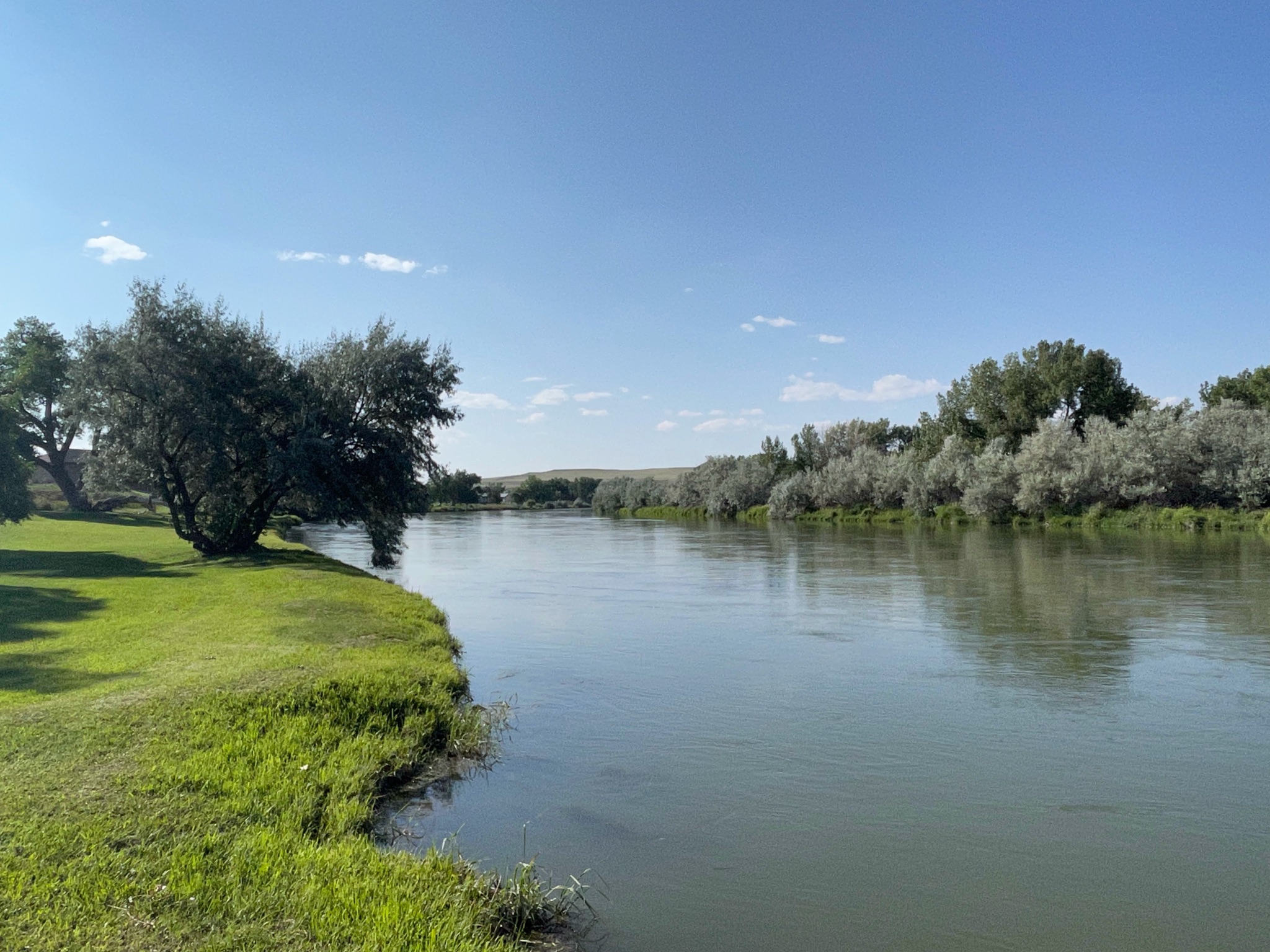
We crossed the North Platte River, again…

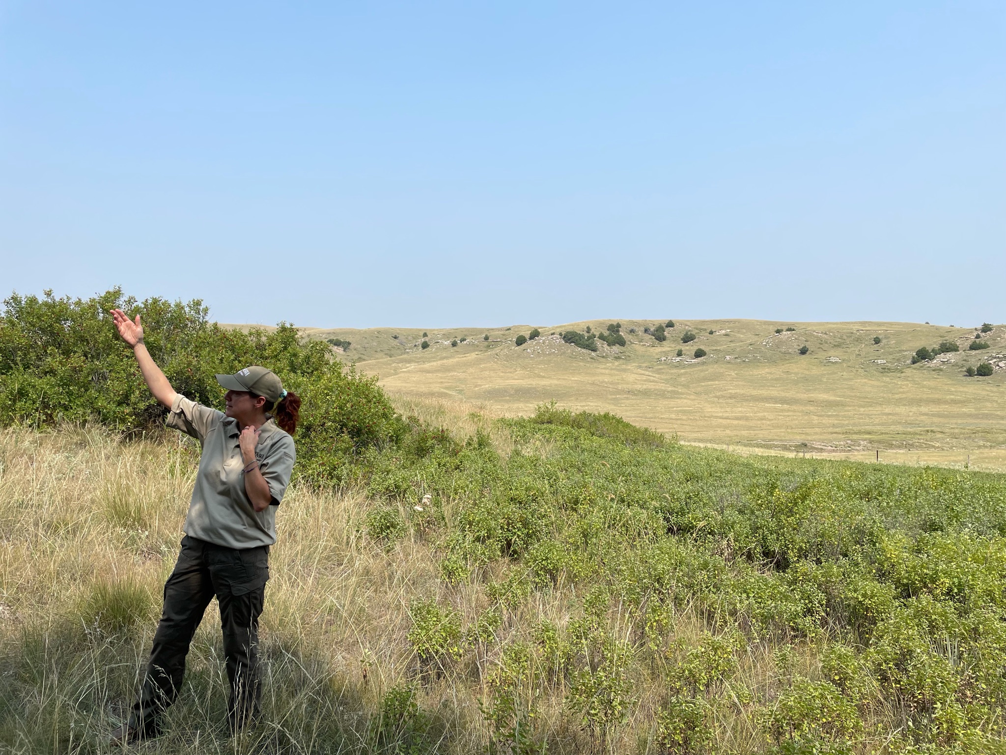
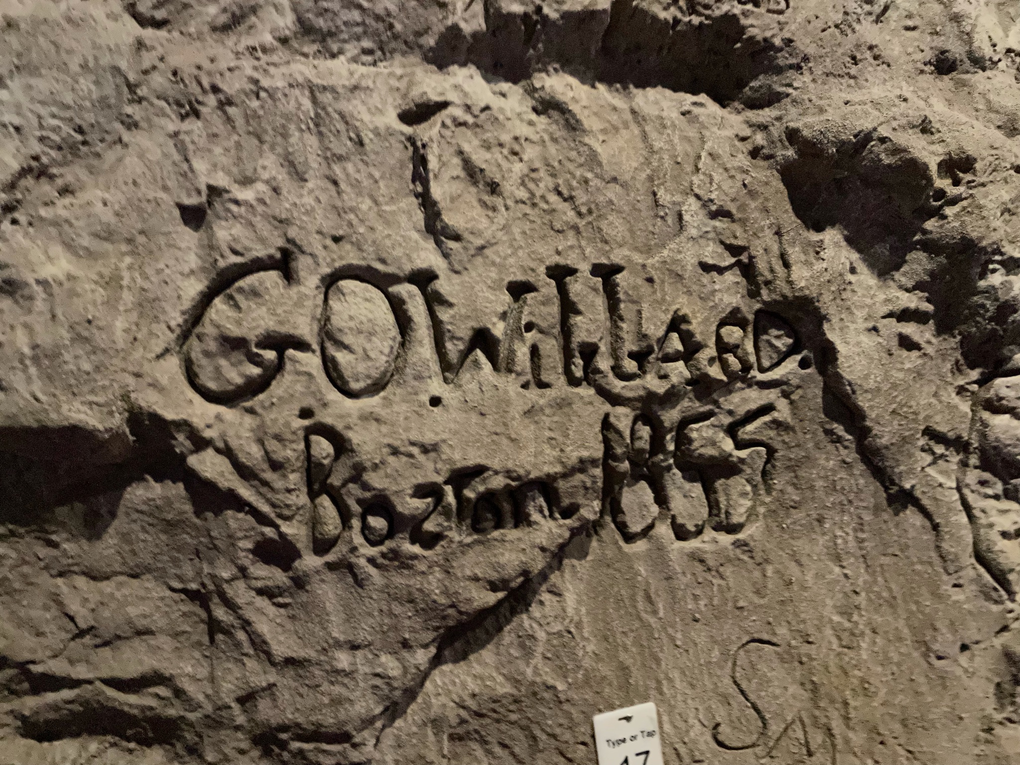
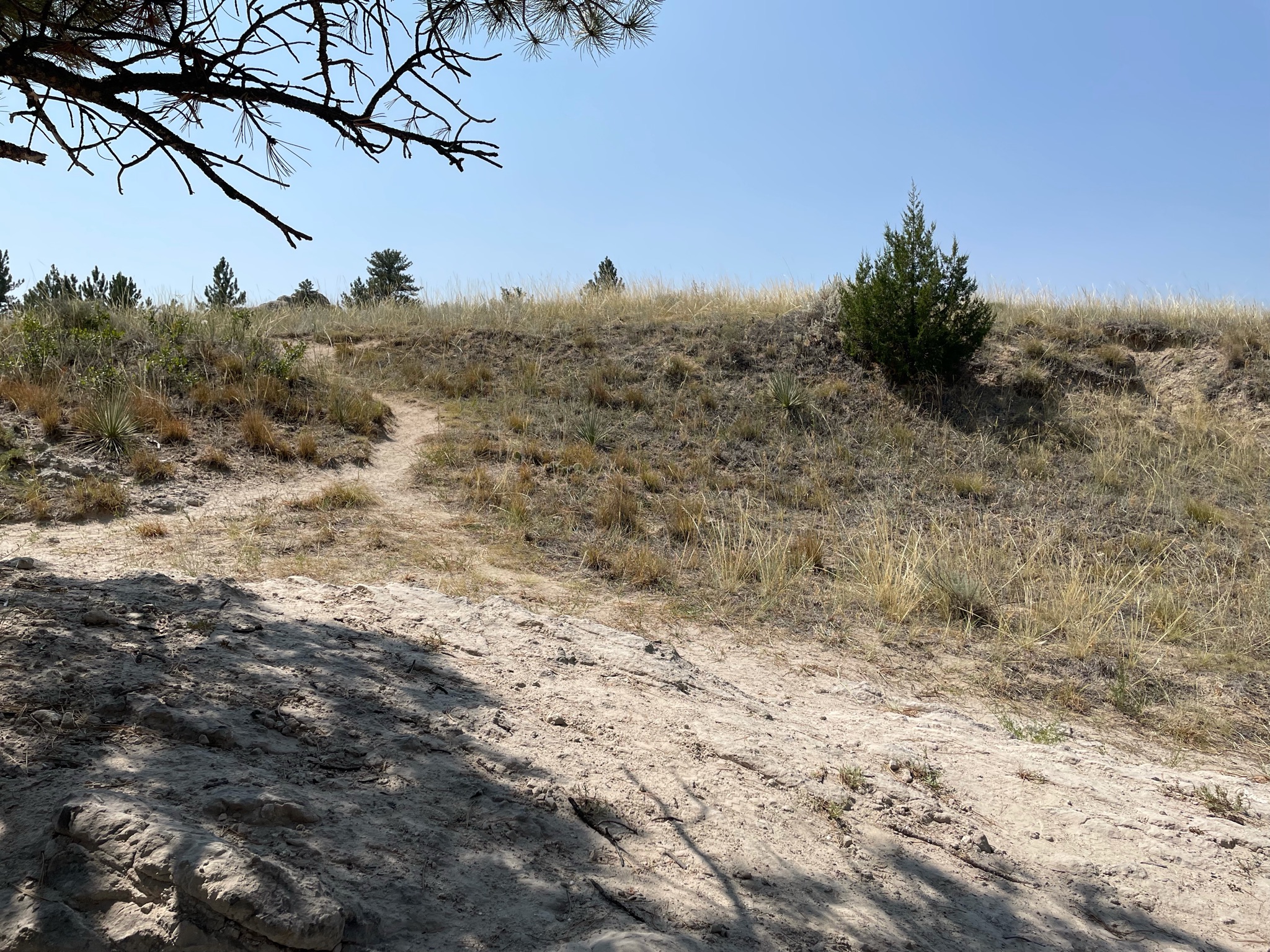
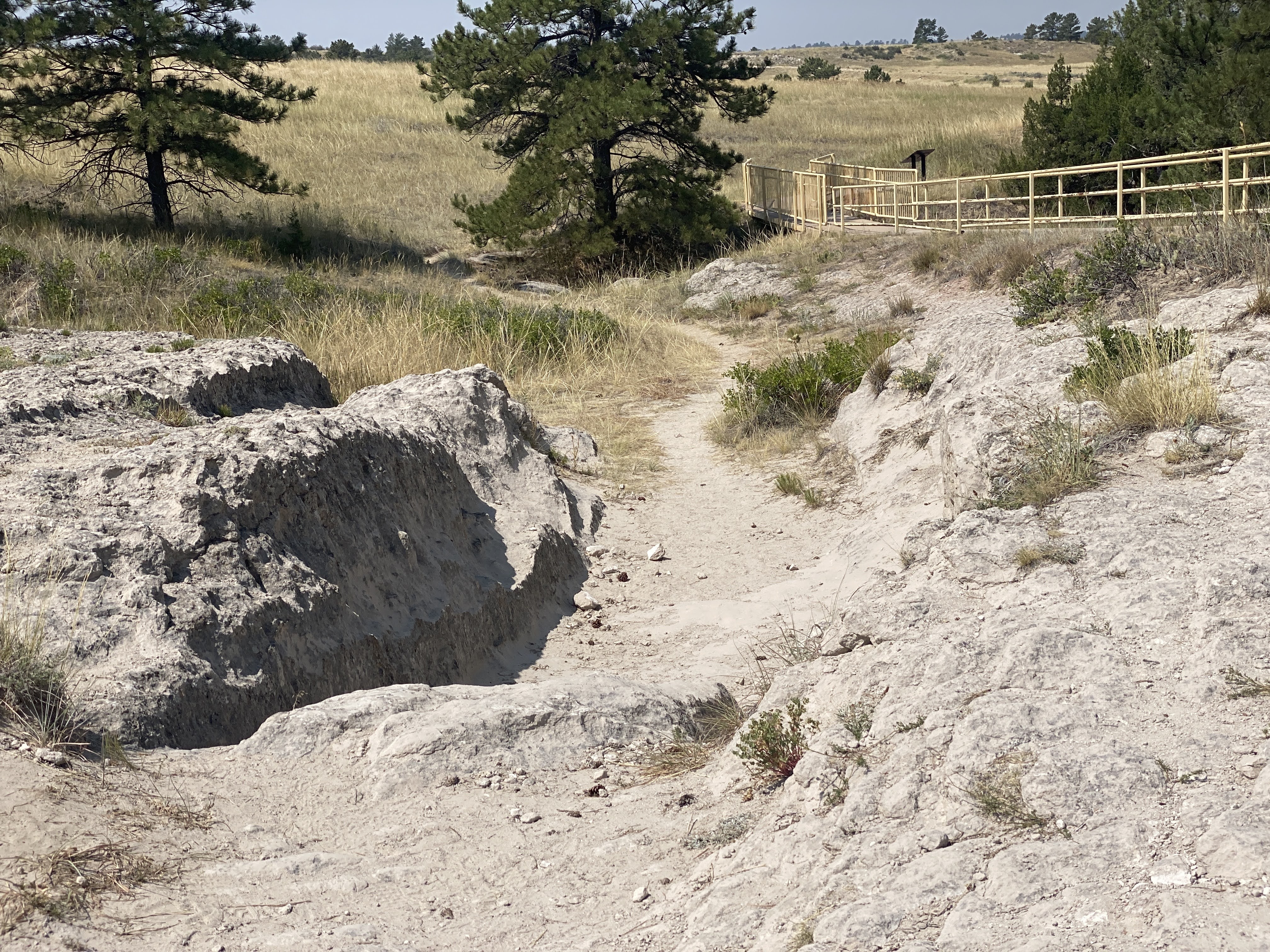
We found the ruts we are looking for…

These runts, worn into the sandstone, are impressive…

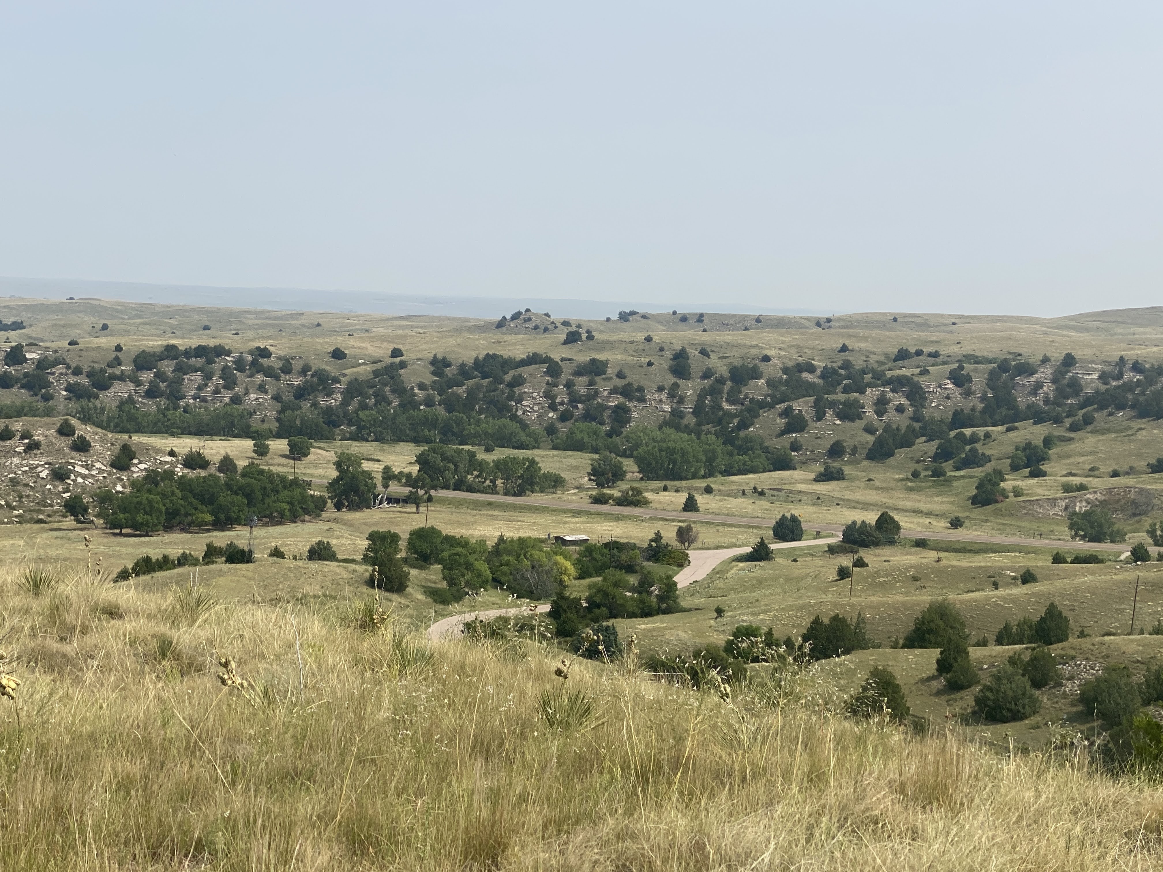
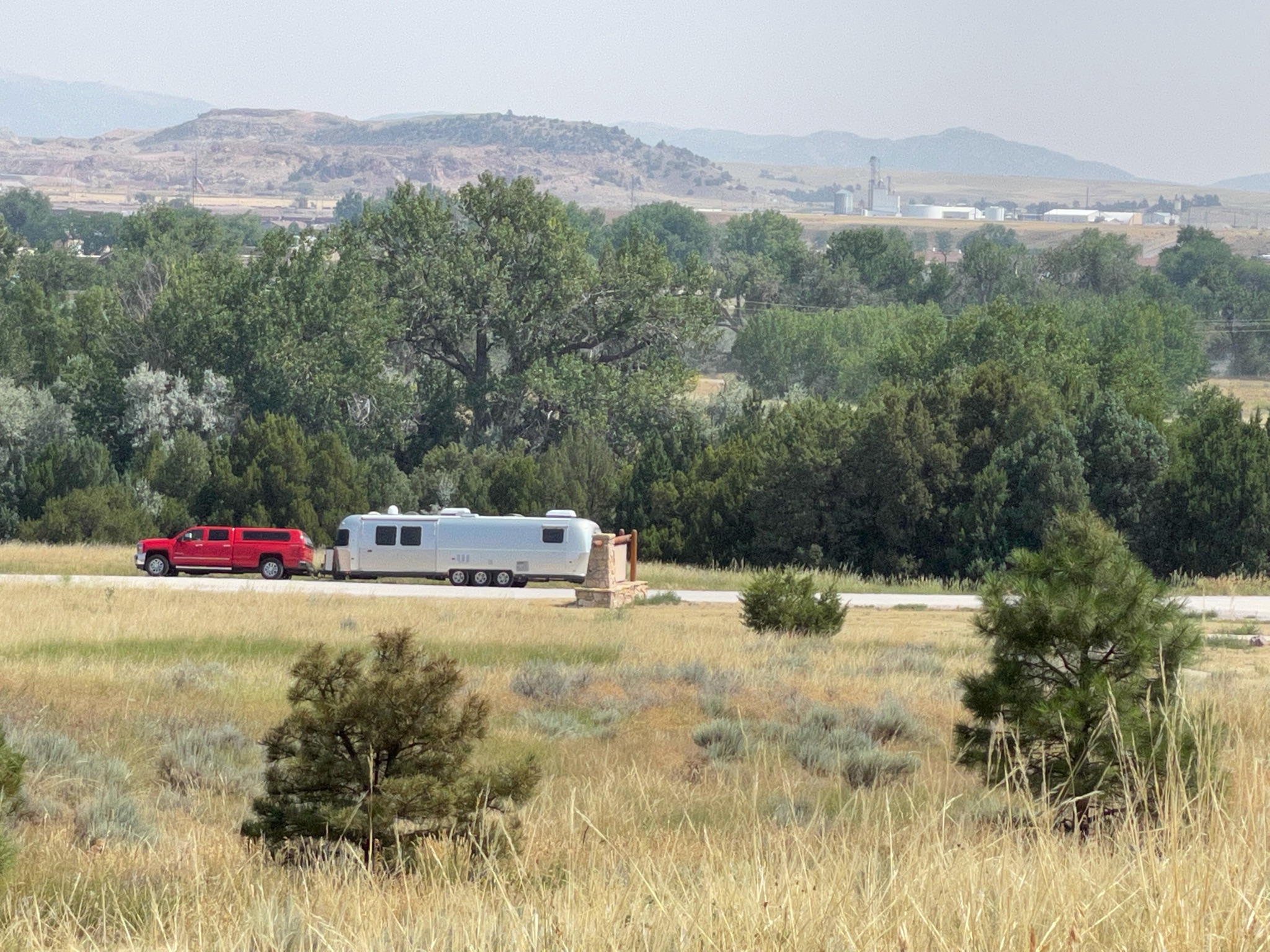
As we returned from the ruts and trails we found the Villa in the distance…

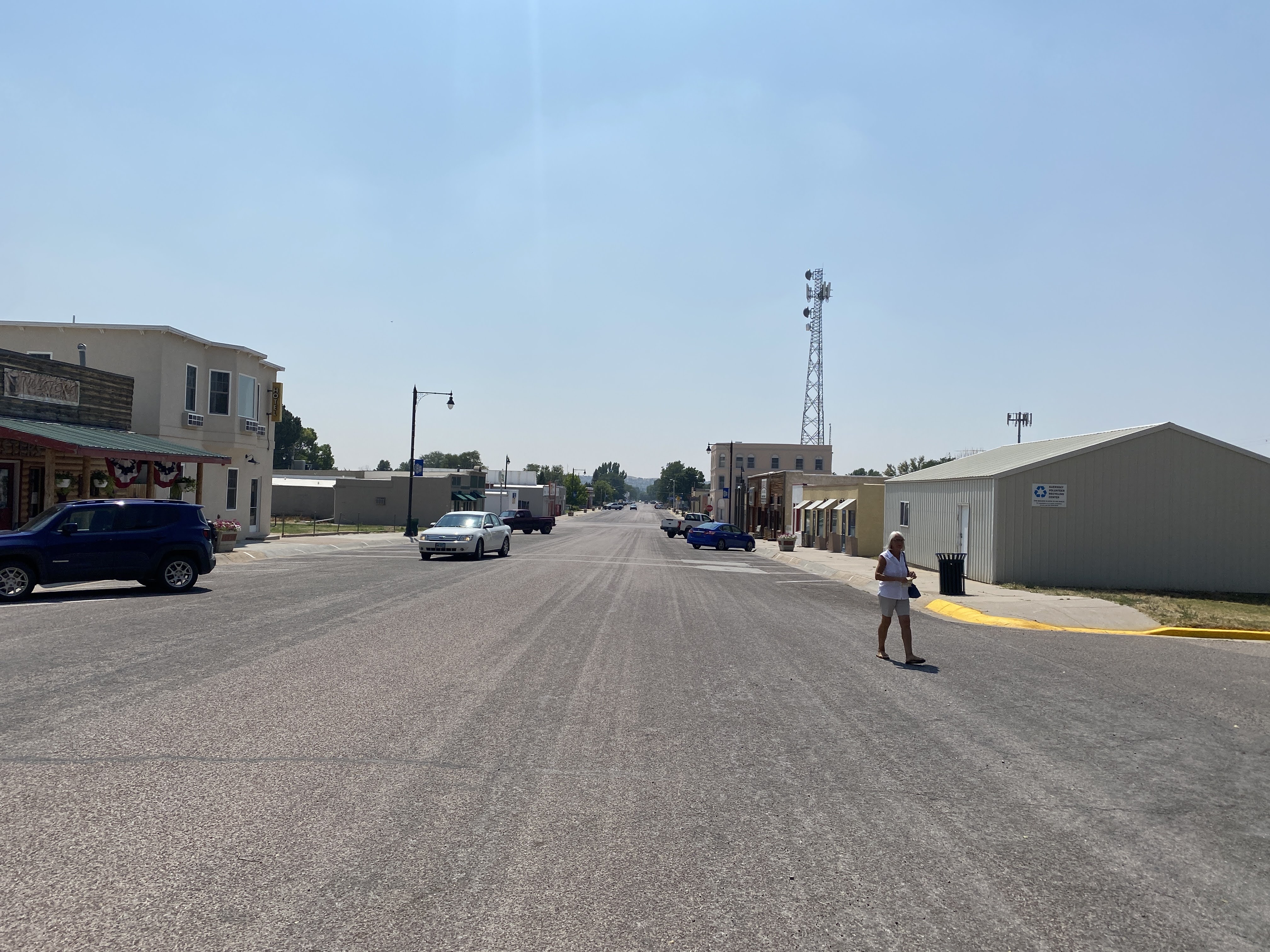
We drove the short distance back to the town of Guernsey. We stopped at the Twisted Eatery for lunch…

Nothing fancy here. No avant garde food. Just well made, simple food. We enjoyed our sandwiches! And we traveled on…

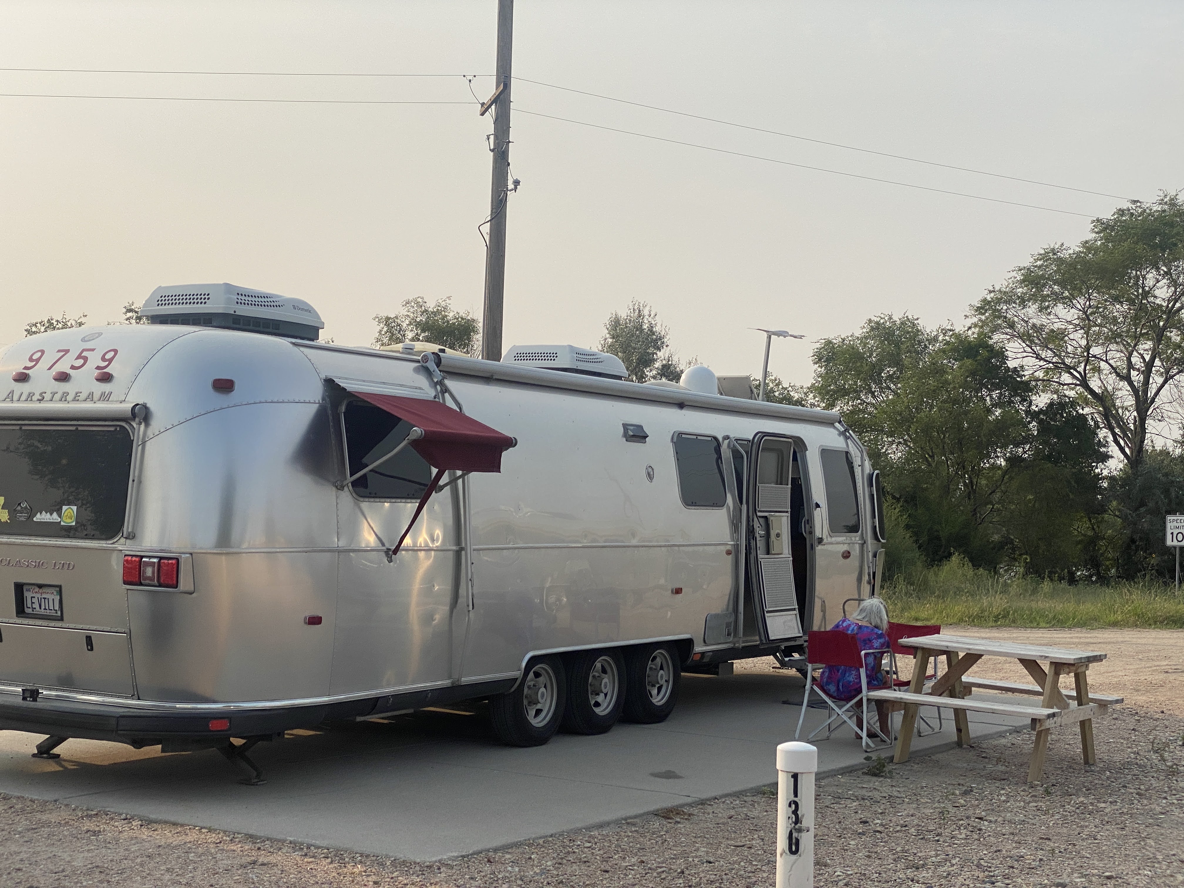
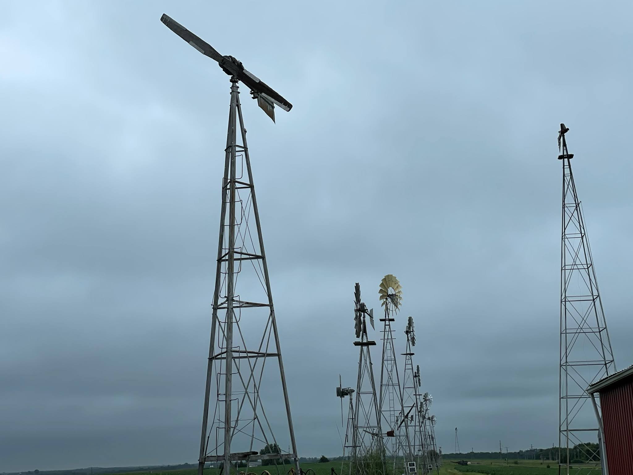
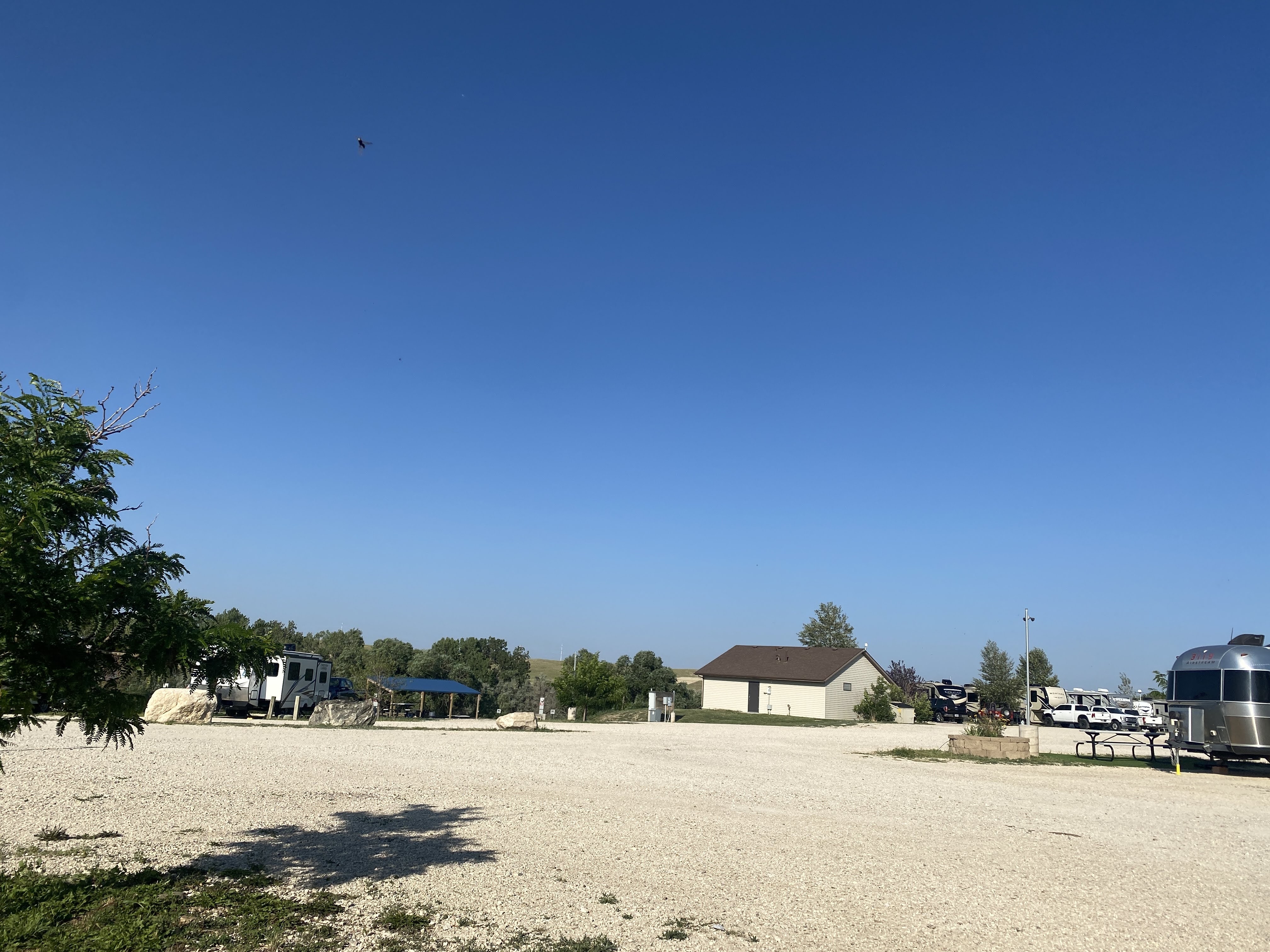
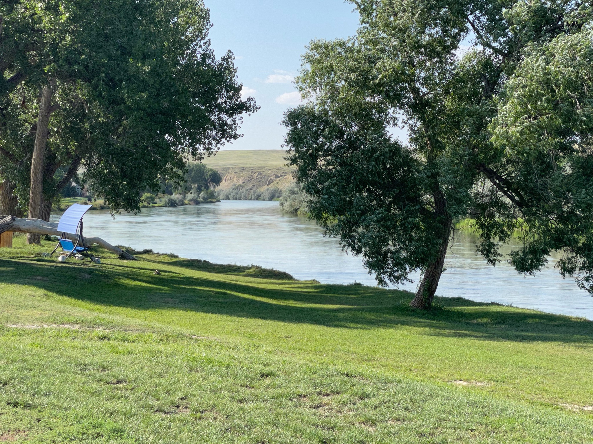
We arrived at our campsite in Evansville, adjacent to Casper… Lots of gravel, and a small patch of plastic grass at each site…

Happy hours were enjoyed. It is hot and windy this afternoon and evening. We enjoyed our view of the North Platt River…

An enjoyable time was had by all…

2021-08-07 – The Oregon Trail caravan … Day 10 – Gering, NE

We slept fitfully all night because there was a very strong windstorm blowing outside… but the morning dawned nicely.

We rode along with another Airstream couple from Jerusalem… We headed towards Scott’s Bluff National Monument…

In the 1930s the Park Service, with the help of the CCC, constructed this road to the top of the bluff, including three tunnels…

The views from 800′ above the valley floor must be spectacular. Unfortunately, we have smoke-filled skies from the Canadian fires.

A close-up look at the bluff shows the layers: on top, the limestone cap, then alternating layers of sandstone, volcanic ash, and clay… The entire area around here used to be plains at the same elevation of Scott’s Bluff. However, most of it lacked the limestone cap, so over a few million years it has all eroded away to todays configuration…

We walked along the paths trying to see different views. Still smoke all around…

Back down at the Visitors Center we looked at the exhibits. We looked at the bluffs from below…

Then we walked along the real, authentic Oregon Trail…

Next stop was the famous landmark: Chimney Rock…

There was a very nice visitor center…

One of the exhibits showed the Oregon Trail through Nebraska. Note Chimney Rock to the left… (We leave Nebraska tomorrow…)

Behind the Visitors Center is the official view of Chimney Rock:

Chimney Rock is similar composition as Scott’s Bluff, with the exception that there is no limestone cap. Therefore, Chimney Rock is eroding much faster than Scott’s Bluff, and it will soon melt into the surrounding plains…

We returned to the Villa, had a leisurely afternoon… tomorrow we head for Wyoming!

An enjoyable time was had by all…

2021-08-05 – The Oregon Trail caravan … Day 8 – Ogallala, NE

We awoke to a cool morning for the first time on this trip. Hot days can be handled better when it cools off at night…

Today we have an excursion to Ash Hollow State Historic Park, with a side trip along the way to “Windlass Hill”. As usual, we formed a pickup truck caravan and drove the 30 miles to Windlass Hill.

Windlass Hill was the location where the pioneers left the flat plains and traveled down to Ash Hollow, adjacent to the North Platte River. This route cut off about two weeks off the trip to Oregon. From 1835 to 1960 about 350,000 covered wagons passed through here, mostly in the months of May and June. If they were any later than very early July it would be unlikely they could make it through the Rocky Mountains before winter closed all the passes…

The name, Windlass Hill, is mostly apocryphal. There was no windlass here. (Maybe there should have been…) Due to the steepness of the grade, the wagons could easily travel at speeds that were not good for them or the livestock pulling the wagons. They were slowed by locking the wheels, which prevented the wheels from turning and increased friction. However, the “trail” down the hill was a 25 degree slope and the height was over 300′. Since the ground here is Nebraska Sandhill, today we don’t see “ruts”, but “swales”. As the wagon wheels tore into the grass and sand ruts were made; however, over time, with rain and erosion, today these areas have become “swales”. These swales are visible today.

We parked our trucks and walked over to listen to the Ranger tell us what we were seeing…

Here is what some of the smaller swales look like today…

There was a paved trail that we could walk up the 300′ to the top…

The official marker…

The view down towards Ash Hollow, and our parked trucks…

A panoramic photo from the top of Windlass Hill…

This is what the pioneers saw from the top. Remember, though, there were no trees in 1950, and the river was visible. This was the first good camping spot that they had seen for weeks. This entire valley was crowded with covered wagons; they stayed 2-3 days, collecting water, game, maybe some buffalo chips…

Here you can see more dramatically how the swales have now eroded into full blown ravines…

As different paths down the hill became more eroded and unpassable the pioneers found new routes. These exhibits in the Ash Hollow Visitor Center show the several routes…

After our brief time in the Visitors Center we traveled on around the park. This is a stone school house. It was built in the late 1800s to replace a sod schoolhouse. It was in use into the early 1900s…

We drove down to this valley to hear more information from the ranger…

From this valley we can see the sandstone and shale in the hills above.

The pond beyond was part of a series of springs that, in the winter and spring, form a stream that flows down to the North Platte River… This valley would be crowded with covered wagons in the spring…

That was all for the Ash Hollow excursion. We returned to the Villa and had a little lunch. At 5:00 we drove the short distance into Ogallala to visit the Petrified Wood Museum. We saw many interesting specimens of petrified wood and other mineral formations. Dinner was catered by Ole’s Big Game Steakhouse and Lounge in nearby Paxton. I don’t think we ate any big game, but the food was reasonably good…

We had a driver meeting after dinner. Tomorrow we move about 130 miles to Gering, NE, a short distance from Scottsbluff, another landmark on the Oregon Trail. We returned to the Villa. We shared a bottle of wine with caravan friends…

And an enjoyable time was had by all…

2021-08-04 – The Oregon Trail caravan … Day 7 – Kearney, NE to Ogallala, NE

Another travel day. We went only about 150 miles, but there were many interesting stops along the way…

But first, we enjoyed the Nebraska scenery…

We were told by our caravan manual to stop off and see The Golden Spike. Well, the only golden spike that I knew of was at Promontory Point, Utah, where the Central Pacific and Union Pacific Railroads completed the transcontinental railroad. So we had no idea what to expect here. Our GPS took us on a wild goose chase around and through several residential neighborhoods until we finally arrived near the railroad tracks. We figured we were getting close. Then we saw the tower:

We figured this was probably worth a stop. We had no idea!

This is The Bailey Classification Yard! We learned a little history:

During the construction of the transcontinental railroad, North Platte was platted as a railroad town by Union Pacific’s Chief Engineer Grenville Dodge.  It was chosen because of its close proximity to good water and its distance from Grand Island, Nebraska. In 1866 the first train rolled through what was known at the time as “Hell on Wheels” town. General Dodge quickly moved to construct major shop facilities and winter quarters and by 1867, main line operations began.  Just two years later on May 10th, East met West at Promontory Summit in Utah, 690 miles east Sacramento and 1,087 miles west of Omaha. The railroad crossed two-thirds of the continent over some of the most difficult terrain on earth. It was called, “The Work of Giants” and it was the end of the frontier, as we knew it.

Today Bailey Yard, named for former Union Pacific president Edd H. Bailey, is the world’s largest train classification yard in the world. Over 3,000 cars are classified (or sorted) to make sure the cargo reaches its final destination. The yard is eight miles long, 1 1/2 miles wide, and at its widest point contains 320 sets or railroad tracks. The yard is located in the midst of key east-west and north-south corridors, on the busiest freight rail line in America, making it a critical component of Union Pacific’s rail network.

Bailey Yard has 17 receiving and 16 departure tracks handling 14,000 rail cars every 24 hours.  The railroad cars are sorted daily in the yard’s eastward and westward yards, nicknamed “hump” yards. Using a mound cresting 34 feet for eastbound trains and 20 feet for those heading west, the hump yards allow four cars a minute to roll gently into any of 114 “bowl” tracks. Here they become part of trains headed for destinations in the East, West and Gulf Coasts of America, as well as the Canadian and Mexican borders. An average of 139 trains per day are comprised of raw and finished goods, such as automobiles, coal, grain, corn, sugar, chemicals, and steel along with consumer goods, including electronics, apparel and other retail products.

To keep America moving forward, the train operations and repair shops at Bailey Yard are open 24 hours a day, seven days a week. The fueling and service center processes more than 8,500 locomotives each month, using technology like overhead cranes and elevated work bays to maintain fluid operations.

All train movement throughout Bailey Yard is handled through the on-site command center with the latest computerized control systems. The Bailey Yard command center is tied to the Harriman Dispatching Center in Omaha, which controls hundreds of intercity trains daily throughout the company’s 23-state rail system. The Bailey Yard has over 2,500 employees, working 24 hours per day…

So we stopped to take a look… More trains than you can keep track of!

At the observation deck atop the tower we could see the operations, including the hump yards, as the incoming trains are broken up and re-combined into the various outgoing trains.

It was a fascinating opportunity to see how trains really work! We loved it!

We could even see some of our friends parked next to us down below…

So after this exhilarating tour we headed off to the Lincoln County Historical Museum. It was similar to other small county museums…

This one had a rare two story log cabin…

This barbershop was built in 1900…

Typical mercantile building you would see on Main Street in the 1890s…

Then we walked the 1/2 mile to see Scout’s Rest Ranch…

Scout’s Rest Ranch was Buffalo Bill’s retreat and retirement home. He lived here when not traveling with his Wild West shows, and then again after the shows were over…

William Frederick “Buffalo Bill” Cody (February 26, 1846 – January 10, 1917) was an American soldier, bison hunter, and showman. He was born in Le Claire, Iowa Territory (now the state of Iowa), but he lived for several years in his father’s hometown in modern-day Mississauga, Ontario, Canada, before the family returned to the Midwest and settled in the Kansas Territory (now the state of Nebraska).

Buffalo Bill started working at the age of eleven, after his father’s death, and became a rider for the Pony Express at age 15. During the American Civil War, he served the Union from 1863 to the end of the war in 1865. Later he served as a civilian scout for the US Army during the Indian Wars, receiving the Medal of Honor in 1872.

One of the most famous and well-known figures of the American Old West, Buffalo Bill’s legend began to spread when he was only 23. Shortly thereafter he started performing in shows that displayed cowboy themes and episodes from the frontier and Indian Wars. He founded Buffalo Bill’s Wild West in 1883, taking his large company on tours in the United States and, beginning in 1887, in Great Britain and continental Europe.

This is his house at the Scout’s Rest Ranch. It was built in the late 1880s. It is considered to be in the “Second Empire” style, with elements of Italianate and Eastlake detailing. In my opinion, it is a big mess… Look at the shutters. Why were shutters added to the windows? Either to keep the Indians out (not applicable here) or to keep the sun off and to insulate against the cold in winter. Look at these shutters: The cannot do either: they don’t even cover the entire window if they were to be closed… I hate phony stuff like this!

Inside the decoration is “authentic Victorian”… I hate Victorian interiors! It hurts my eyes! That wallpaper is abominable!

The outbuildings were interesting…

The Ice House:

The Spring House: (It would also make a good wine cellar…)

The Cob House: Corn cobs were stored here to burn in the stoves in the house…

Lakes are always nice:

So we set off again, heading west to Ogallala…

We arrived at the RV Park and we were soon set up…

We had our last GAM.

This afternoon as we crossed over to the western-most counties of Nebraska we moved from Central time to Mountain time. But our phones, watches, and the truck GPS have a hard time handling the change. So our clocks have been flipping back and forth between the two zones; we never know what time it is…

An enjoyable time was had by all…

2021-08-03 – The Oregon Trail caravan … Day 6 – Kearney, NE

We set out today to see the sights in Kearney, NE.

Our first stop was the Trails and Rails Museum. We had a personal tour by a volunteer docent…

We saw a number of buildings that had been built in the 1880s and thereabouts… They show a nice representation of life in rural Nebraska at that time…

This first house was a lovely place, with Living and Dining Rooms, plus a “kitchen” (no running water…) downstairs; Upstairs were three bedrooms. This house is considered slightly unique in that it has closets. Few houses of this era do…

This is the school house, typical of the many rural schools of the day. Up to six or eight grades were all together in one classroom…

Desks here are typical in the 1880s…

As a personal note, while I did not attend school until the 1950s, I did attend a two room school with six grades, and we had these exact same desks… (We also had world maps that still had Prussia on them. But enough about the poor conditions in my childhood school…)

The museum had a log cabin. It has been restored, but you can still see what it looked like when it was moved here…

Here is another simpler house. Note the chimneys. There are no fireplaces in this house. Some of the rooms would have had a heating stove, maybe using wood or coal as a fuel, but more likely they were burning corn cobs. The flue from these stoves would then be connected to these chimneys…

There were also a barn and a blacksmith shop. These were modern buildings, but they were filled with ancient farm implements…

These are mill stones…

The train Depot and the train are always fun…

Note that the nearby town of Shelton is at elevation of 2019′. While the land looks flat here, in reality we are on the eastern slope of the Rocky Mountains. All the land in the Midwest slopes gradually up to the west. No wonder the pioneer on the Oregon Trail had such a hard walk… it’s all up hill! I contrast this with people in Georgia or Pennsylvania who live in the “mountains” at an elevation of 2,000’…

The depot had a very complete Station Master’s office, showing the files, ticket machines, telegraph apparatus, and the ability to change this tall signal from within the office…

Cabooses are always fun… This is where the crew lived and worked. The cupola was where they would sit and watch over the tops of the cars to make sure everything was OK…

After the Trails and Rails Museum we drove to the campus of UNK, the University of Nebraska at Kearney. We stopped in to see the G.W. Frank Museum of Culture and History. Located in a beautiful Richardsonian Romanesque mansion, the Frank Museum is part house museum, part history museum, part cultural center. Built in 1890, the opulent home of capitalists George and Phoebe Frank was among the first electrified houses in the American West. Its unique story as a once modern, stylish residence, turned rental property, sanitarium, and tuberculosis hospital, offers a window into Kearney’s past – its early rise and fall, and its rebirth as a center for health and education. Exhibits, tours, and programs explore the history and culture of central Nebraska, from the Gilded Age to the present.

Unfortunately, the House was closed… We peeked through the windows where we could. We were disappointed!

But we had other options… We drove over to the Classic Car Collection. Unfortunately, it was closed.

We only were able to see the “before” exhibit!

Next door to the car museum is a Cabella’s store…

We walked through their aisles. But we didn’t need any guns, mineral licks, or fishing gear. Lynda did buy a light windbreaker jacket, so the visit wasn’t a total waste…

We returned to the Villa. We had another GAM and we met more new friends. The smoke from fires in Canada did provide a remarkable sunrise…

An enjoyable time was had by all…

2021-08-02 – The Oregon Trail caravan … Day 5 – Grand Island, NE, to Kearney, NE

Today we traveled to Kearney, NE, about 50 miles away. Since the drive was so short we avoided the interstate and traveled west on Hwy 30. We arrived in Kearney at about 11:45 am. We parked on a side street and had a little lunch, then we pulled out, arriving at the RV Park at about 12:15. The sites are relatively nice, all pull-thrus, with full hook-ups…

At 3:00 pm we all drove the two miles to “The Archway.”..

The Great Platte River Road Archway Monument is a monument on Interstate 80 located three miles east of Kearney, Nebraska. Opened in July 2000, it houses a historical experience that tells the story of Nebraska and the Platte River Valley in the development of America. The monument spans more than 300 feet above Interstate 80.

Since prehistoric times, the trail along the Platte River through Nebraska, which came to be known as the Great Platte River Road, has been a thoroughfare for travel across the continent. The Archway museum details the stories of the pioneers, adventurers, and innovators who have traveled the trail since the mid-1800s and helped to build America. The exhibit starts at Fort Kearny in 1848 and features sections on the Oregon Trail, California Trail, and Mormon Trail that converged at the nearby Fort Kearny before heading west. As visitors progress through the exhibit, the displays of different time periods feature a prairie schooner wagon on the Oregon Trail, a buffalo stampede, the Mormon Handcart Expedition, a 49er’s campsite, the Pony Express (including a video of a rider arriving at a relay station, transferring the mail to a fresh horse, and galloping off…), the Transcontinental Telegraph (which, of course, killed the Pony Express…), a stagecoach, the Transcontinental Railroad (which, of course, ended the wagon trains…), the first transcontinental highway, the Lincoln Highway, and today’s transcontinental highway, I-80 (which, of course, killed thousands of small towns across the country and ended the livelihoods of millions of people…). The exhibit ends with a replica drive-in and 1950s-style café with windows providing views over the interstate. The exhibits are featured in chronological order and reflect the historical developments that occurred on the Great Platte River Road.

The art and exhibits were very interesting, and there were audio devices so we could each hear the story behind each exhibit as we walked through…

(I remember roadside cabins and motels like this when I traveled with my family across the country in 1961…)

There is a window from the exhibit of a roadside diner overlooking the 80. There is also a radar gun so we can see who is exceeding the posted speed limit of 75 mph.

It was a great exhibit – highly recommended…

We returned to the Villa. Tonight we had another GAM where we met four new couples. We had a little happy hour and sandwiches for dinner.

An enjoyable time was had by all…

2021-08-01 – The Oregon Trail caravan … Day 4 – Grand Island, NE

We have a free day today in Grand Island. We can do nothing, or we can choose to see some of the local attractions…

But, first, we wanted to add one more sticker to our map of states we have pulled the Villa through. Welcome, Nebraska!

For our local excursion today we visited the Stuhr Museum of the Prairie Pioneer, located right here in Grand Island. It is dedicated to preserving the legacy of the Pioneers who settled the plains of central Nebraska in the late 19th century. It features a living history village called Railroad Town, designed to evoke an 1890s-era prairie village and made up of many original period structures moved to the museum. The main museum building, shown below, was designed by the renowned modernist architect Edward Durell Stone. The museum is named after Leo Stuhr, a local farmer and politician whose family were among the area’s pioneer settlers. He donated land, money, and numerous artifacts that served as the foundation of the museum.

Among the structures in Railroad Town is the house where actor Henry Fonda was born in 1905.  Movies filmed at the museum include Sarah, Plain and Tall (1991) and My Antonia (1995).

The Stuhr Building is located, of course, on an island…

We toured the main exhibit space that had, predictably, artifacts and photographs of the pioneer period of the late 1800s and early 1900s… Very interesting exhibits, and a very beautiful building… I generally dislike museums, but this one was clearly an exception.

After the museum we walked around the grounds. First up are the ruts of the Overland Trail. In this part of the country the Oregon Trail, the California Trail, and the Mormon Trail all shared this general road. Contrary to popular movies and TV shows, the wagons did not travel single file. They generally spread out over a 1-1/2 mile wide swath of land…

There is a Pawnee Lodge – a dirt-covered structure used by several families as living quarters…

The perimeter is lined with beds, and holes in the floor were used for food storage. As many as 30-50 people lived in this space. (It is about 38′ in diameter…)

We walked on. Lynda wanted to show the scale and size of these hay bales…

This view of the prairie grass here represents what the area would have looked like as the pioneers traveled through. It is about 3′-4′ tall… The wagon trails just passed through. But when the farmers arrived, imagine what it must have been like to plow this land!

The Pioneer village contains several buildings from around 1890 – 1910. These buildings have been donated by local families and moved onto the property. Interestingly, as we drive through the countryside, we see buildings like this that are still occupied and being used.

Over in Railroad Town there are more buildings that have been moved here. This is a 5 block town, complete with railroad depot, blacksmith shop, livery stable, and many houses and stores.

We had noticed that the adjacent stretch of highway 30 through Grand Island is called, “Henry Fonda Memorial Parkway”.. We Googled to see why and found that he had been born here in Grand Island. Here in Railroad Town is his birthplace home:

The Fonda family moved away when he was about one year old, so it is doubtful that he remembered the house, but he did visit here after it was moved onto the museum ground and restored…

After we toured Railroad Town we checked out the log cabins…

We returned to the Villa. This evening we have a pot-luck dinner and a Drivers Meeting, where tomorrow’s travel plans are discussed. Finally we had our first GAM – a Get-Acquainted-Meeting; we were host tonight. Four other couples joined us and we introduced ourselves to each other. These are usually a lot of fun.

An enjoyable time was had by all…

2021-07-31 – The Oregon Trail caravan … Day 3 – Hiawatha, MO and Grand Island, NE

We hitched up our wagons and the wagon train started west today, following the Oregon Trail… Or at least so it seems…

The Oregon Trail was a 2,170-mile east-west, large-wheeled wagon route and emigrant trail that connected the Missouri River to valleys in Oregon. The eastern part of the Oregon Trail spanned part of what is now the state of Kansas and nearly all of what are now the states of Nebraska and Wyoming. The western half of the trail spanned most of the current states of Idaho and Oregon.

The Oregon Trail was laid by fur traders and trappers from about 1811 to 1840 and was only passable on foot or by horseback. By 1836, when the first migrant wagon train was organized in Independence, Missouri, a wagon trail had been cleared to Fort Hall, Idaho. Wagon trails were cleared increasingly farther west, and eventually reached all the way to the Willamette Valley in Oregon. Annual improvements were made in the form of bridges, cutoffs, ferries, and roads, which made the trip faster and safer. From various starting points in Iowa, Missouri, or Nebraska Territory, the routes converged along the lower Platte River Valley near Fort Kearny, Nebraska Territory, and led to rich farmlands west of the Rocky Mountains.

From the early to mid-1830s (and particularly through the years 1846–1869) the Oregon Trail and its many offshoots were used by about 400,000 settlers, farmers, miners, ranchers, and business owners and their families. The eastern half of the trail was also used by travelers on the California Trail (from 1843), Mormon Trail (from 1847), and Bozeman Trail (from 1863), before turning off to their separate destinations. Use of the trail declined as the First Transcontinental Railroad was completed in 1869, making the trip west substantially faster, cheaper, and safer. Today, modern highways, such as Interstate 80 and Interstate 84, follow parts of the same course westward and pass through towns originally established to serve those using the Oregon Trail.

Early emigrants

On May 1, 1839, a group of eighteen men from Peoria, Illinois, set out with the intention of colonizing the Oregon country on behalf of the United States of America. The men of the Peoria Party were among the first pioneers to traverse most of the Oregon Trail. They carried a large flag emblazoned with their motto “Oregon Or The Grave“. Nine of these members eventually did reach Oregon.

In September 1840, Robert Newell, Joseph L. Meek, and their families reached Fort Walla Walla with three wagons that they had driven from Fort Hall. Their wagons were the first to reach the Columbia River over land, and they opened the final leg of Oregon Trail to wagon traffic.

In 1841, the Bartleson-Bidwell Party was the first emigrant group credited with using the Oregon Trail to emigrate west. The group set out for California, but about half the party left the original group at Soda Springs, Idaho, and proceeded to the Willamette Valley in Oregon, leaving their wagons at Fort Hall.

On May 16, 1842, the second organized wagon train set out from Elm Grove, Missouri, with more than 100 pioneers. The party was led by Elijah White. The group broke up after passing Fort Hall with most of the single men hurrying ahead and the families following later.

Great Migration of 1843

In what was dubbed “The Great Migration of 1843” or the “Wagon Train of 1843”, an estimated 700 to 1,000 emigrants left for Oregon.  They were led initially by John Gantt, a former U.S. Army Captain and fur trader who was contracted to guide the train to Fort Hall for $1 per person. The winter before, Marcus Whitman had made a brutal mid-winter trip from Oregon to St. Louis to appeal a decision by his mission backers to abandon several of the Oregon missions. He joined the wagon train at the Platte River for the return trip. When the pioneers were told at Fort Hall by agents from the Hudson’s Bay Company that they should abandon their wagons there and use pack animals the rest of the way, Whitman disagreed and volunteered to lead the wagons to Oregon. He believed the wagon trains were large enough that they could build whatever road improvements they needed to make the trip with their wagons. The biggest obstacle they faced was in the Blue Mountains of Oregon where they had to cut and clear a trail through heavy timber. The wagons were stopped at The Dalles, Oregon, by the lack of a road around Mount Hood. The wagons had to be disassembled and floated down the treacherous Columbia River and the animals herded over the rough Lolo trail to get by Mt. Hood. Nearly all of the settlers in the 1843 wagon trains arrived in the Willamette Valley by early October. A passable wagon trail now existed from the Missouri River to The Dalles.

So our wagon train set out for Oregon…

We headed back towards St. Joseph, and crossed over the wide Missouri into Kansas again…

About an hour later we arrived in Hiawatha and found the Brown County Agricultural Museum and Windmill Lane…

It is an interesting place. Many old barns have been moved onto the property, and thousands of ancient home appliances and farm tools and implements, from Tractors and Combines to open end wrenches, are on display.

As we all pulled in together. Parking was a little tight…

Very tight…

In fact, it was so tight that we pulled up close to one another. In the photo below you can see the Villa parked next to a telephone pole. But there will be plenty of room to pull around the pole once the other Airstreams left.

There are probably 50 windmills of all shapes and types. Most often windmills operated pumps bring water up from wells. Some of the windmills charged batteries providing power and lights, and some even generated electricity through a wind-powered generator…

The various bards are full of ancient appliances, tractors, plows, cars, and other miscellaneous things…

As some of the first Airstreams started to pull out it was time to leave. I checked out the space around the telephone pole, backed up a bit to get a little more clearance, and I started to pull forward.

There was plenty of room as my tires went by the pole. However, there was a large low spot adjacent to the pole. Thus, as I pulled forward, the Villa tilted towards the pole to the point that it was within 1/16 of an inch of touching the pole. There we stopped.

Much head-scratching later, we (about 20 Airstream experts) decided that the only way to get past the pole was to jack up the Airstream far enough to get long 2×6 boards under the wheels to un-tilt the Airstream. We found boards, blocks, and three small hydraulic jacks. After much huffing, puffing, and groaning we had the wheels off the ground and the boards and blocks fitted beneath the wheels…

I pulled forward and we were clear, to much applause. All that was left to do was to collect the boards, blocks, and jacks and return them to their rightful places…

And we were on the road again…

We turned north and finally reached Nebraska! We had not been in the Villa in Nebraska before. This is state #41!

Nebraska is, of course, full of corn fields…

About the only difference we could see between Kansas and Nebraska is that Nebraska has more irrigated fields…

We stopped at a Rest Area, where we were joined by another Airstream…

We arrived at our parking spot for two nights – this is Fonner Park, the home of the Nebraska State Fair, located in Grand Island… Lots of room, not too warm, and barely humid…

We celebrated the liberation of the Villa from the pole with Happy Hours; I shared many bottles of my wine with my new friends.

An enjoyable time was had by all…

Blog at WordPress.com.

Up ↑