Search

Adventures in the Villa

Category

Colorado River

2022-09-19 Traveling to Central City, Colorado

Today is an adventure! We are driving over the Rocky Mountains. We are starting at Green River, UT, at 4,000′ elevation.

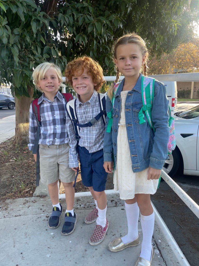
But first, here are the three oldest grandchildren, ready for school picture day: George X, almost 7, Ian, 8, and Roisin, 9…

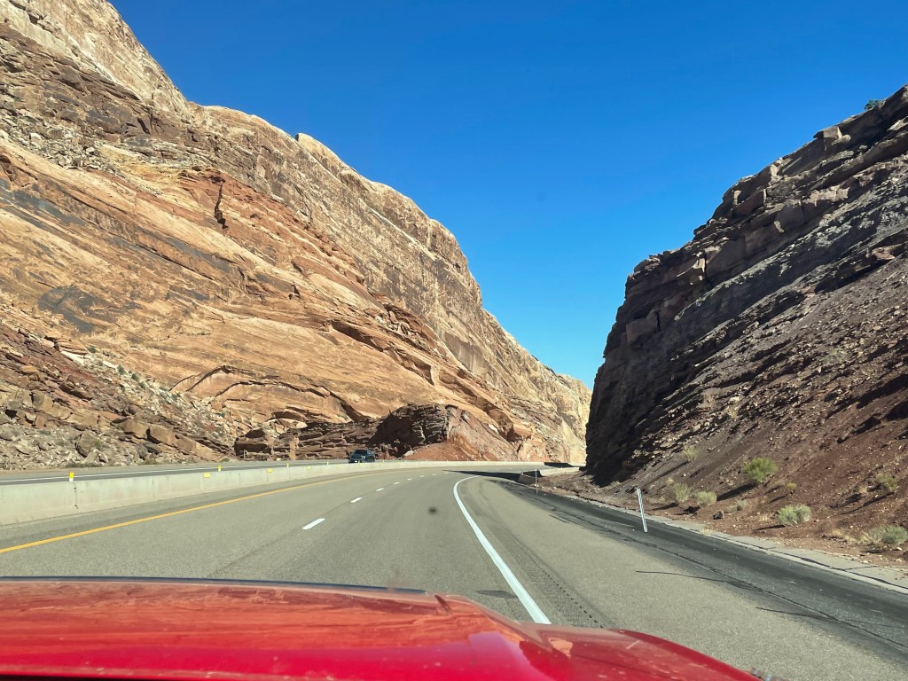
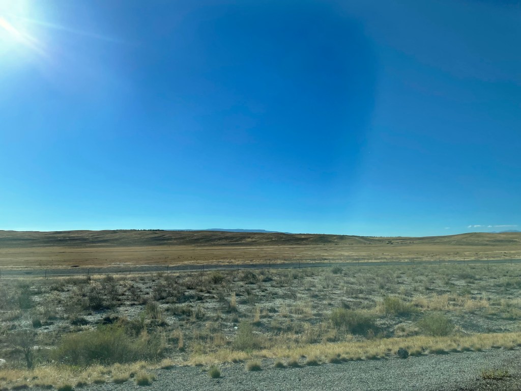
We are heading east on the 70… We are traveling across barren Eastern Utah, into Western Colorado.

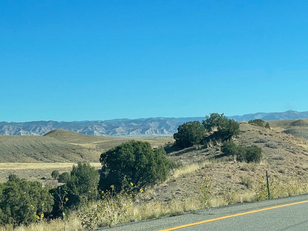
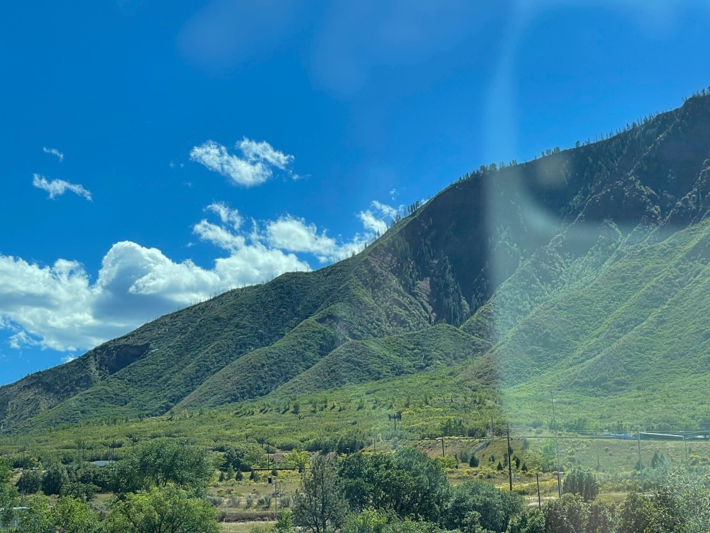
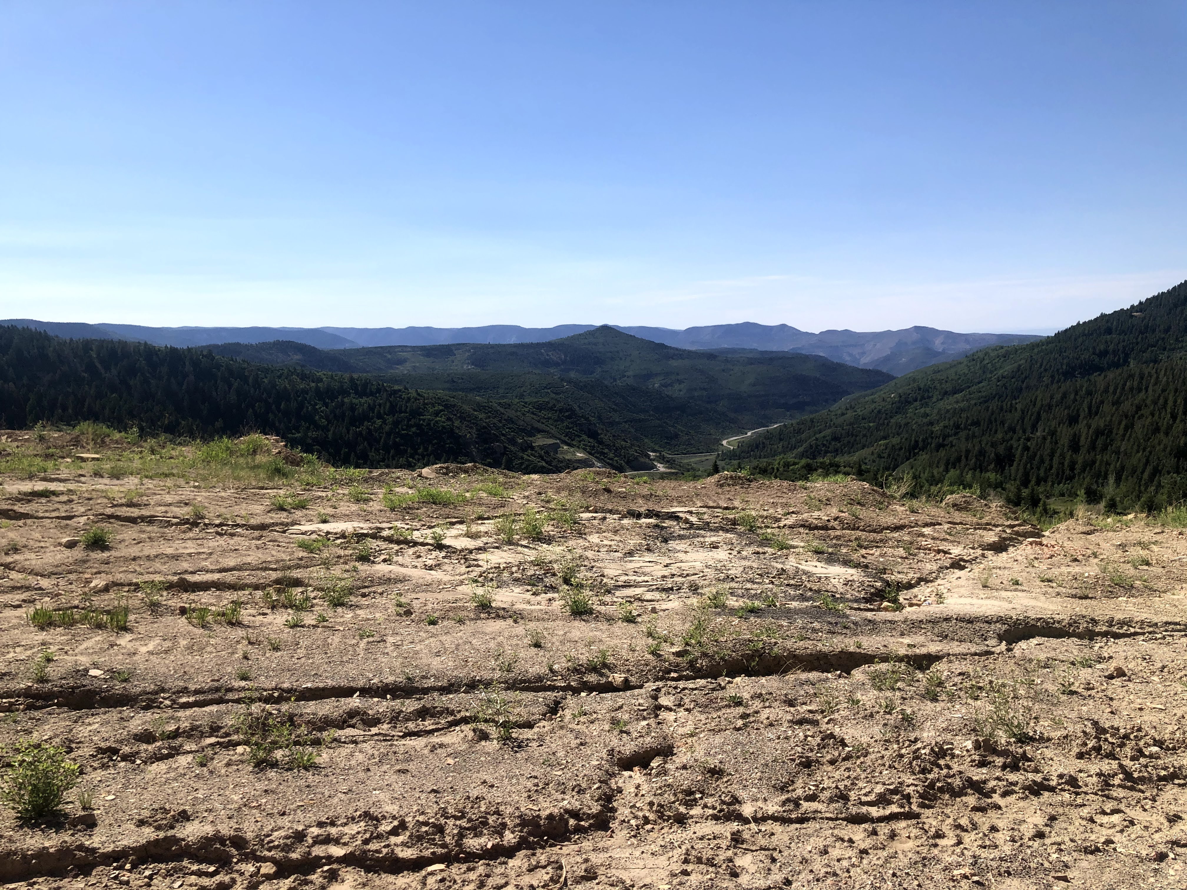
Once into western Colorado the terrain gets much more interesting…

We stopped at a little town called Rifle, CO, where we had a little lunch. We enjoyed walking the 100 year old downtown…

We continued on. The 70 winds along the Colorado River. We are slowly climbing, but not too rapidly.

The first of several tunnels we went through…

We crested the Vail Pass at 10,666′, then we dropped down to about 9,000′, then we climbed up again to the west entrance of the Eisenhower-Johnson Tunnel. The elevation here is 11,158. These tunnels are the highest tunnels in the USA.
After exiting the tunnel we dropped down to about 7,000′; this is where we turned off for a short drive to the campground: 7 miles long, and another 1,500′ elevation rise.

My hemoglobin was starving! I needed a long rest.

And an enjoyable time was had by all…

2022-09-18 Traveling Green River, Utah

After an uneventful night we headed out. From Arizona, back into Nevada, then up the 15 into Utah…

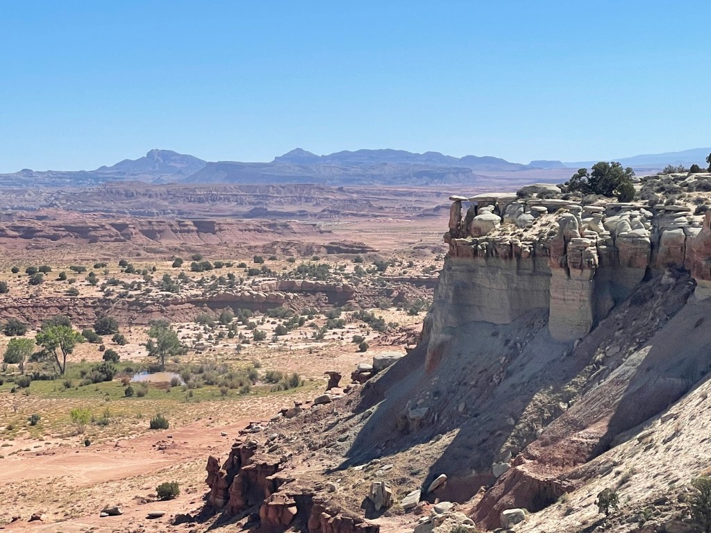
Utah has magnificent geological formations. We took a few photos, but we are on a tight schedule, so we did not stop often or spend too much time being touristy…

We stopped in a little town called Hurricane, UT, to stretch our legs again…
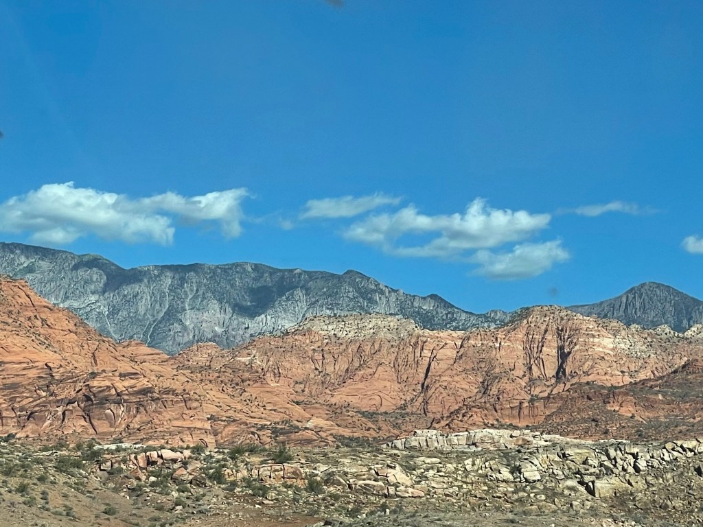
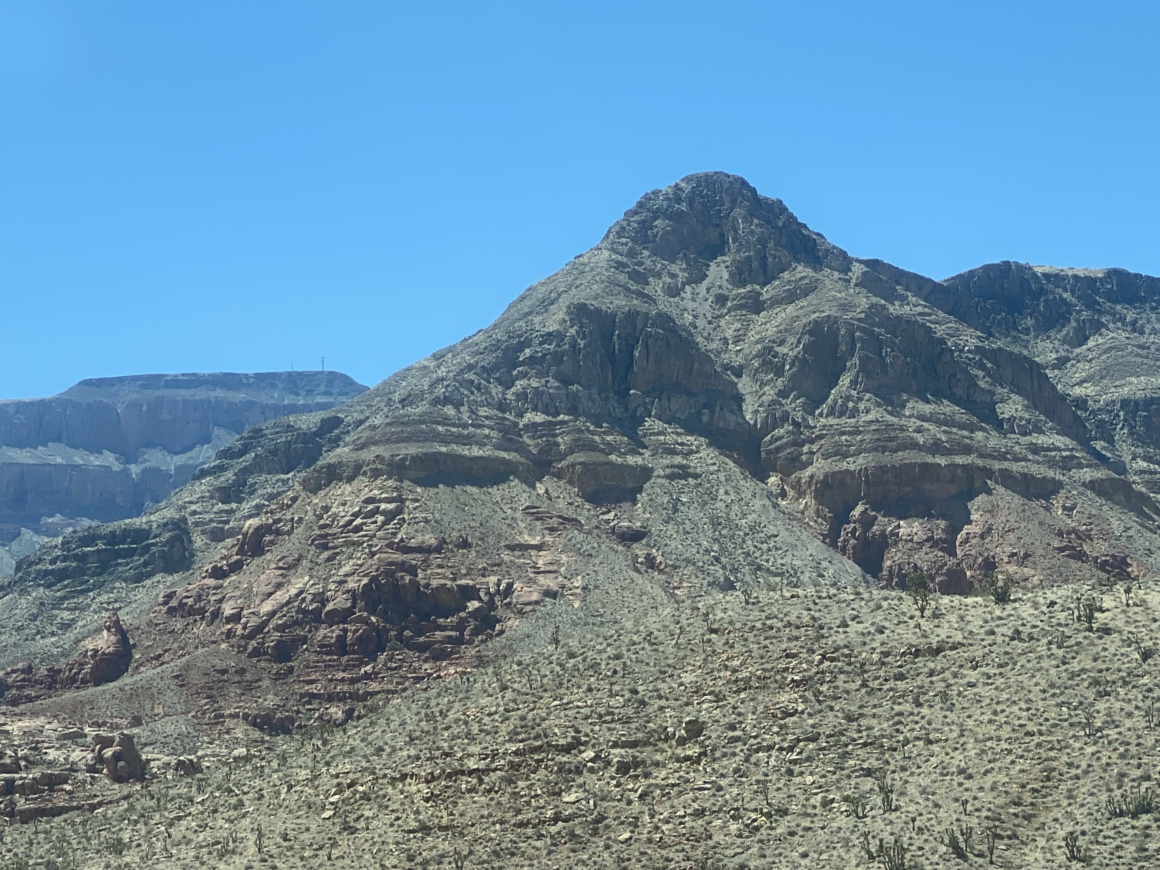
These next photos are the amazing mountains all through Utah…
We soon headed east on the 70. More great mountains!

We continued East…

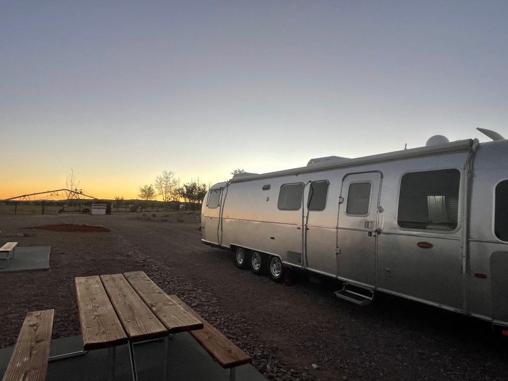
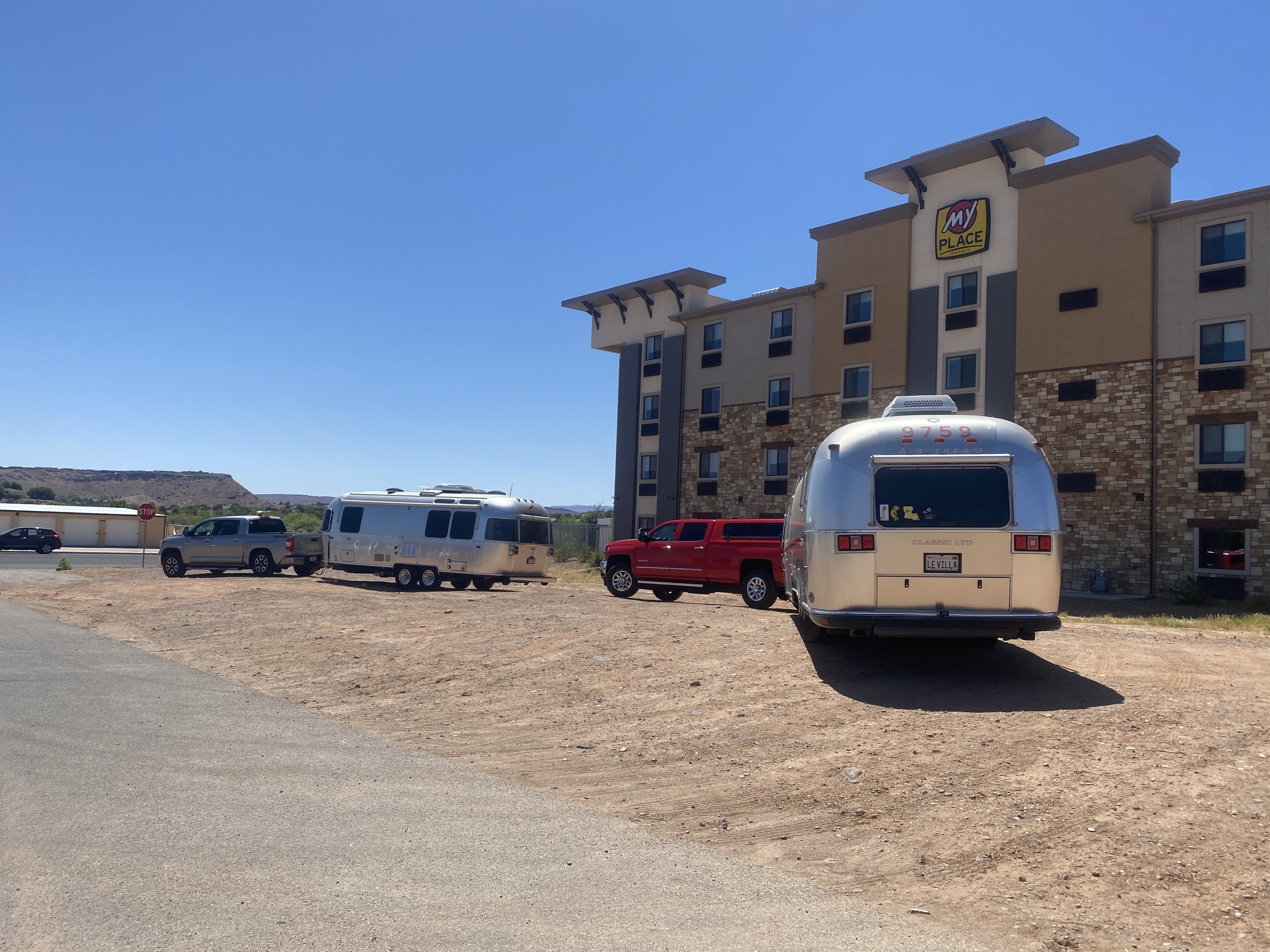
We arrived in Green River, Utah, and checked into the RV park. It was still hot…

We had been to Green River before, in 2018, on the Southwest Adventure Caravan. We had arrived from the south, and we spent hours at the Historic Museum telling the story of John Wesley Powell. Powell left from here on the Green River, which joins the Colorado River a few miles south of here. He continued on and explored the Colorado through the Grand Canyon…

We are not heading south – we did that in 2018. Tomorrow we continue East. We will drive over the Rocky Mountains, continue through Colorado, Kansas, and into Missouri. In Kansas City we will tour a Frank Lloyd Wright building. We continue east through Missouri and into Illinois to Springfield, where we will see more Frank Lloyd Wright, and all things Abraham Lincoln. Finally we will head south to meet up with the caravan in northern Arkansas…

And an enjoyable time was had by all…

2021-06-25 – Heading Home from Springtime in the Rockies caravan… Day 30 – Leaving Las Vegas

We had a leisurely morning with time to walk around the park. It is a huge park, with a variety of types of sites and amenities…

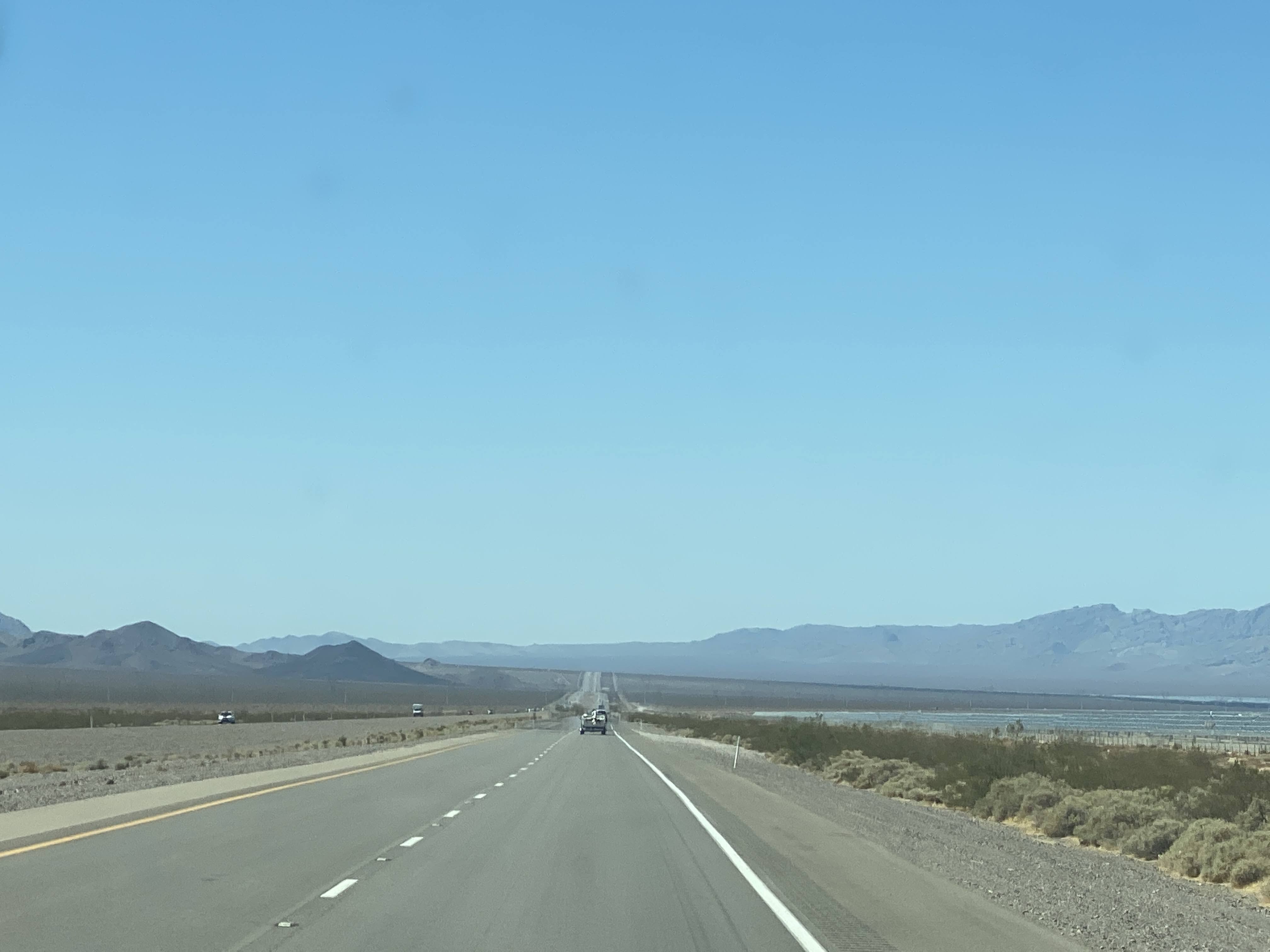
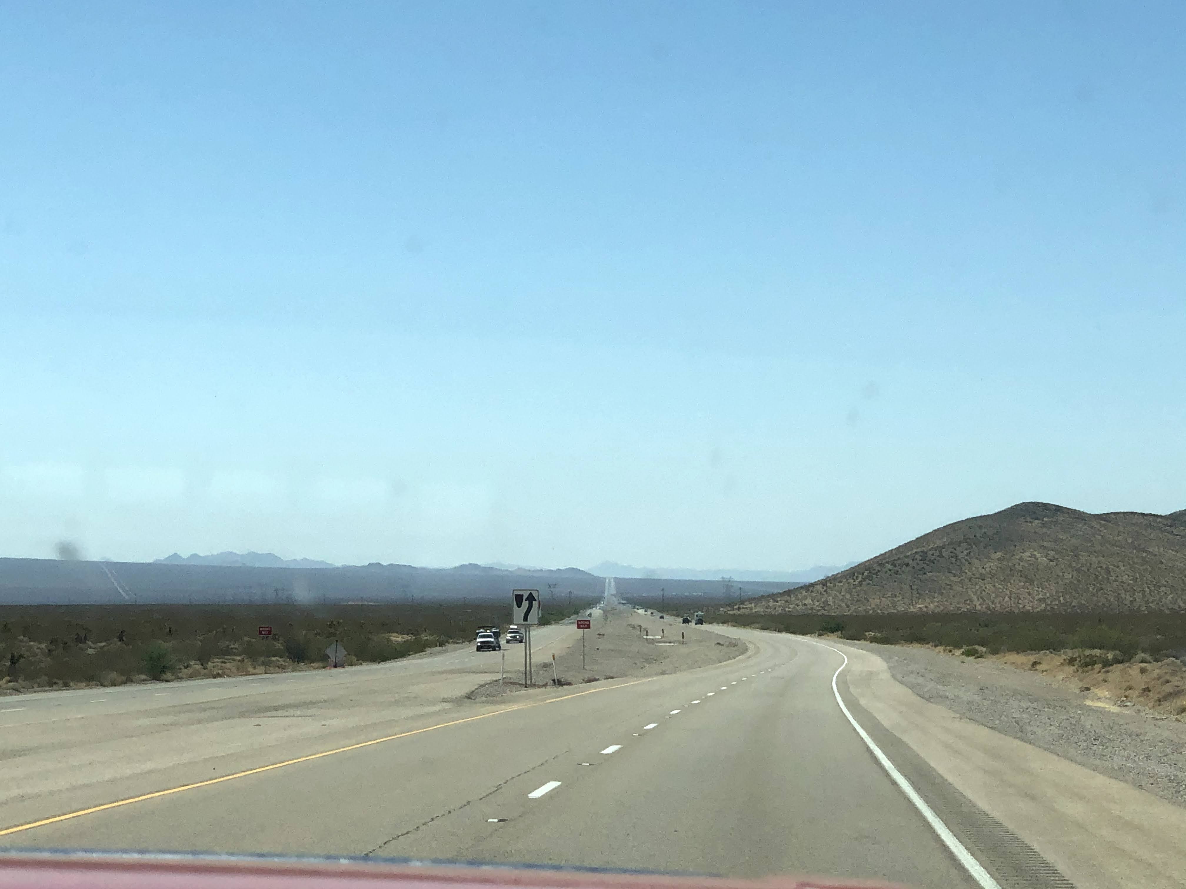
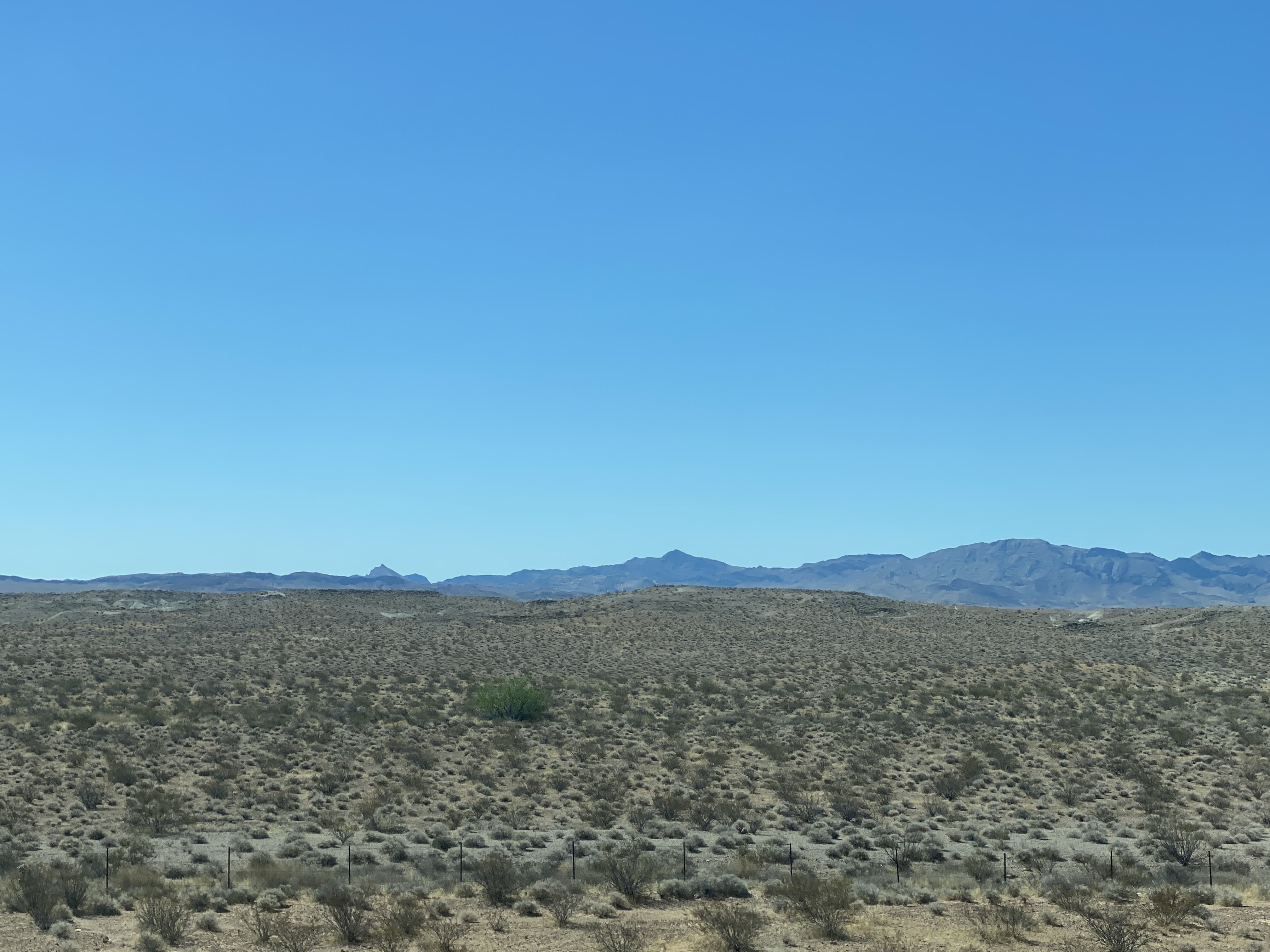
We left Las Vegas about 9:30 and headed south through Nevada…

We continues south through Nevada…

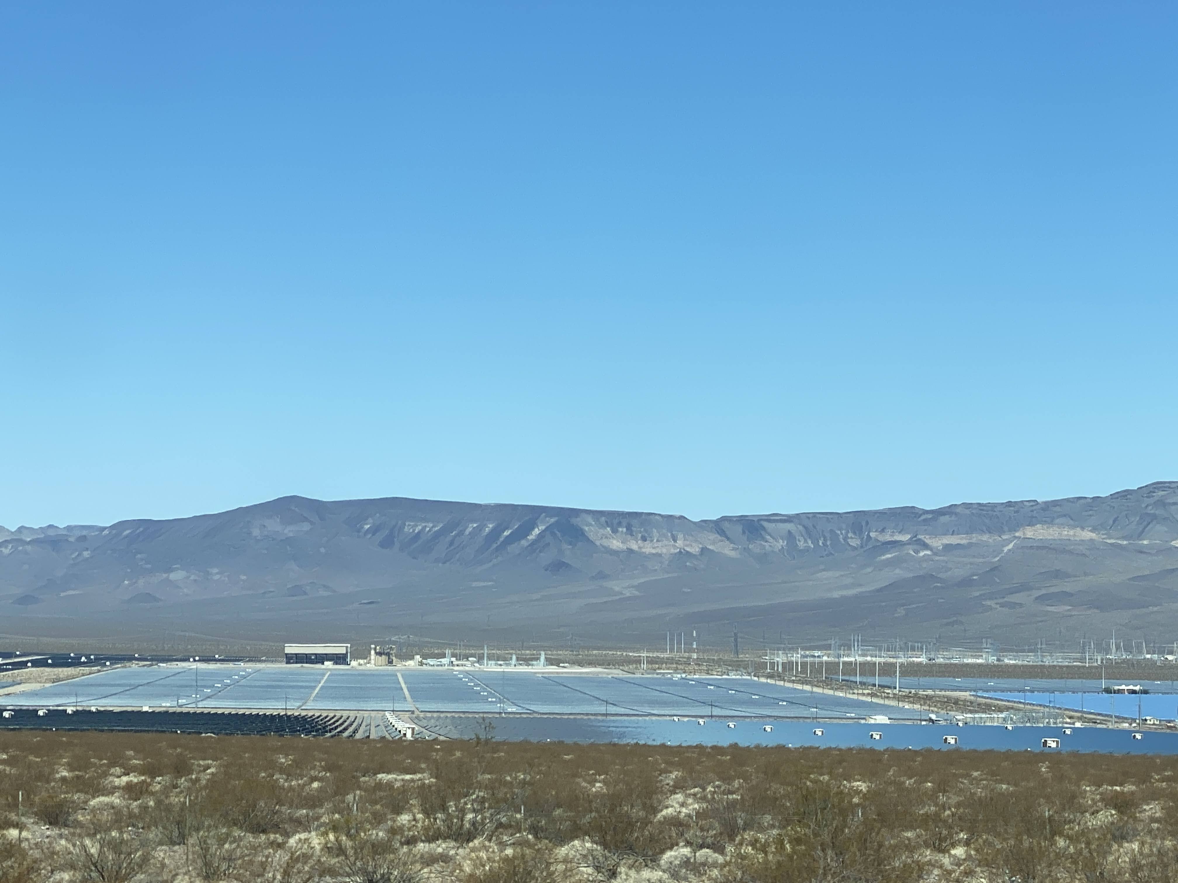
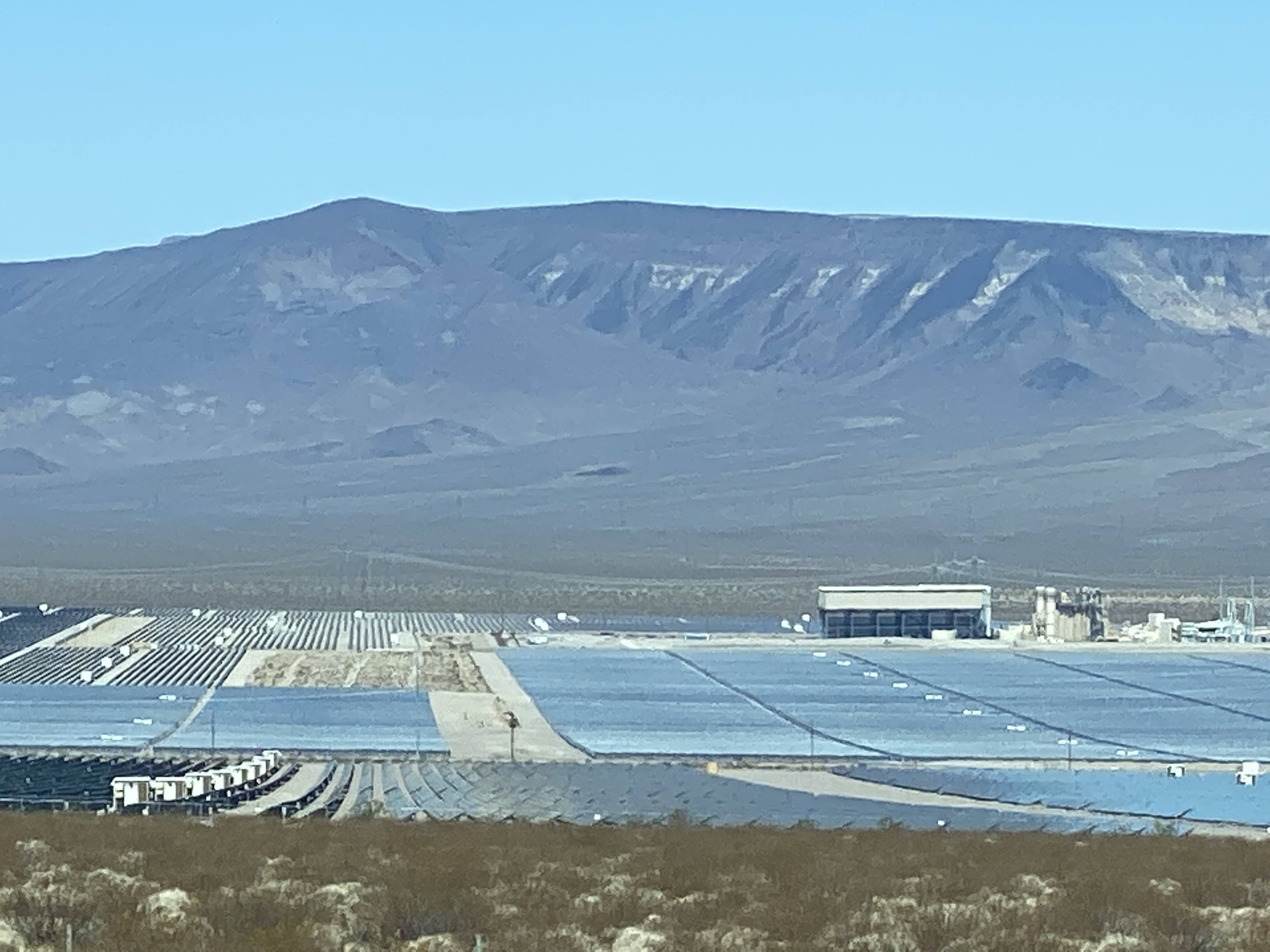
Outside Las Vegas there were these very impressive solar farms…

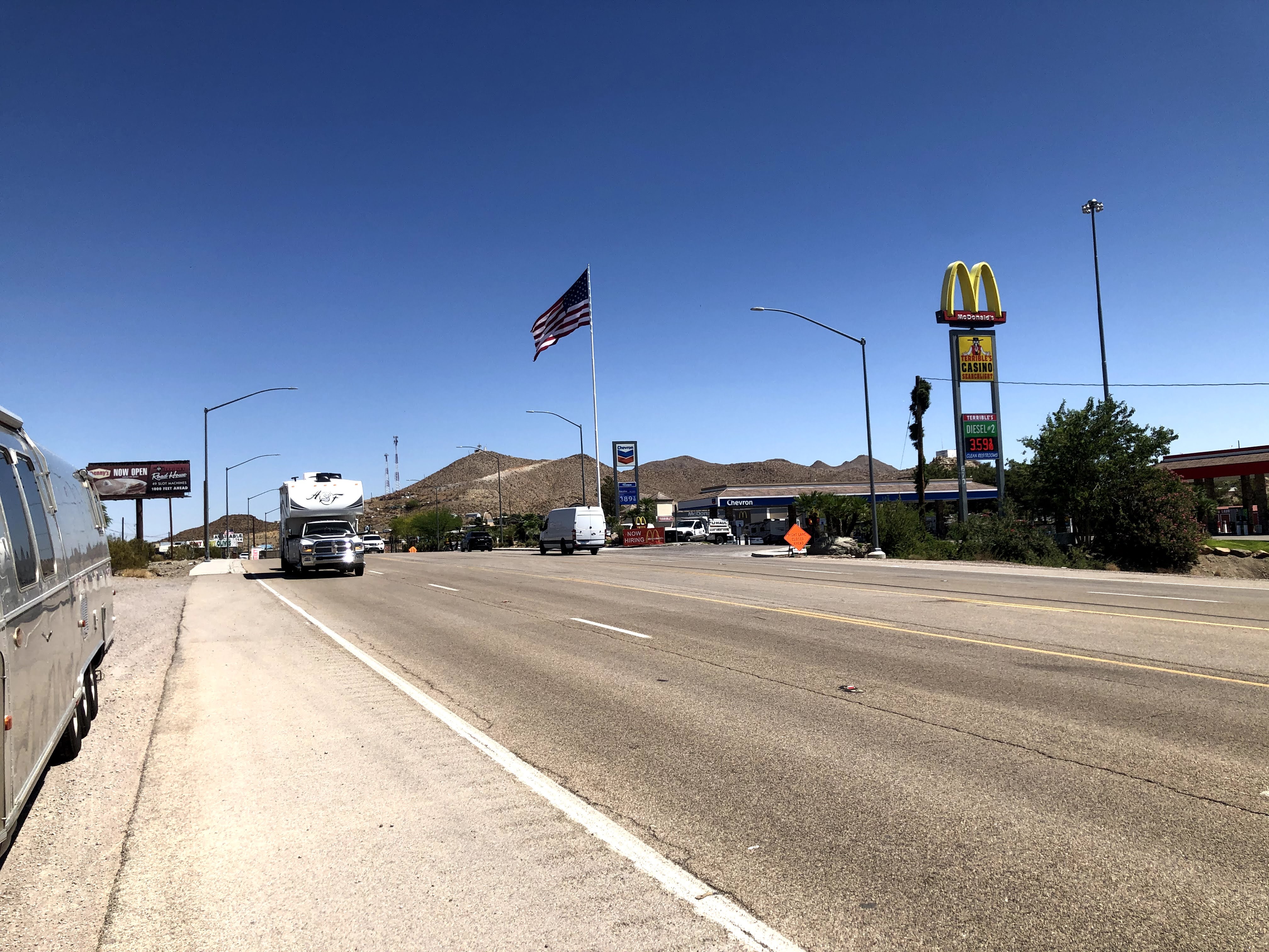
We are headed down through the tiny southern point of Nevada. We stopped in Searchlight to stretch our legs…

And we continued south through Nevada…

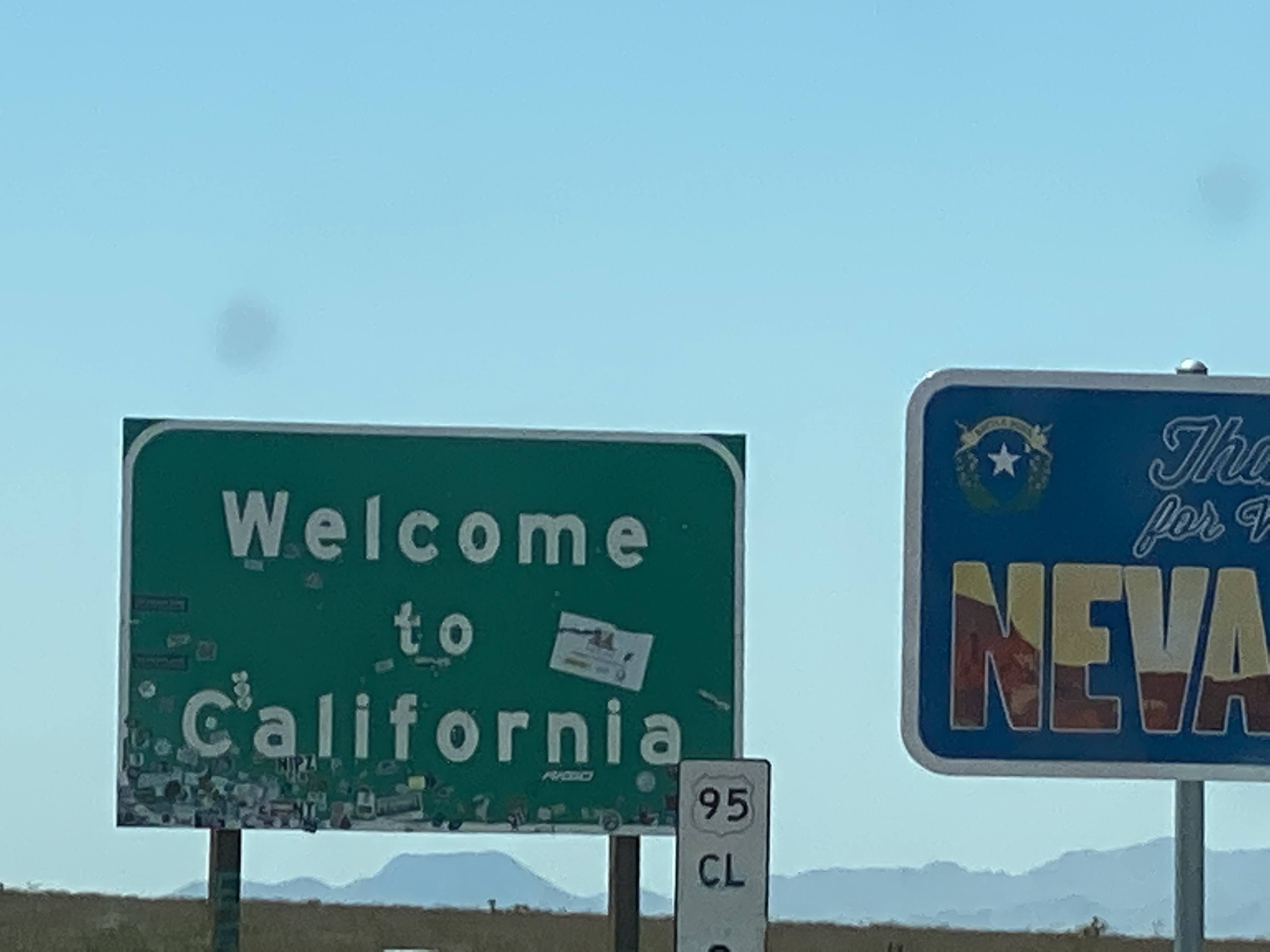
We briefly re-entered California at the 40, as we continued on to Needles…

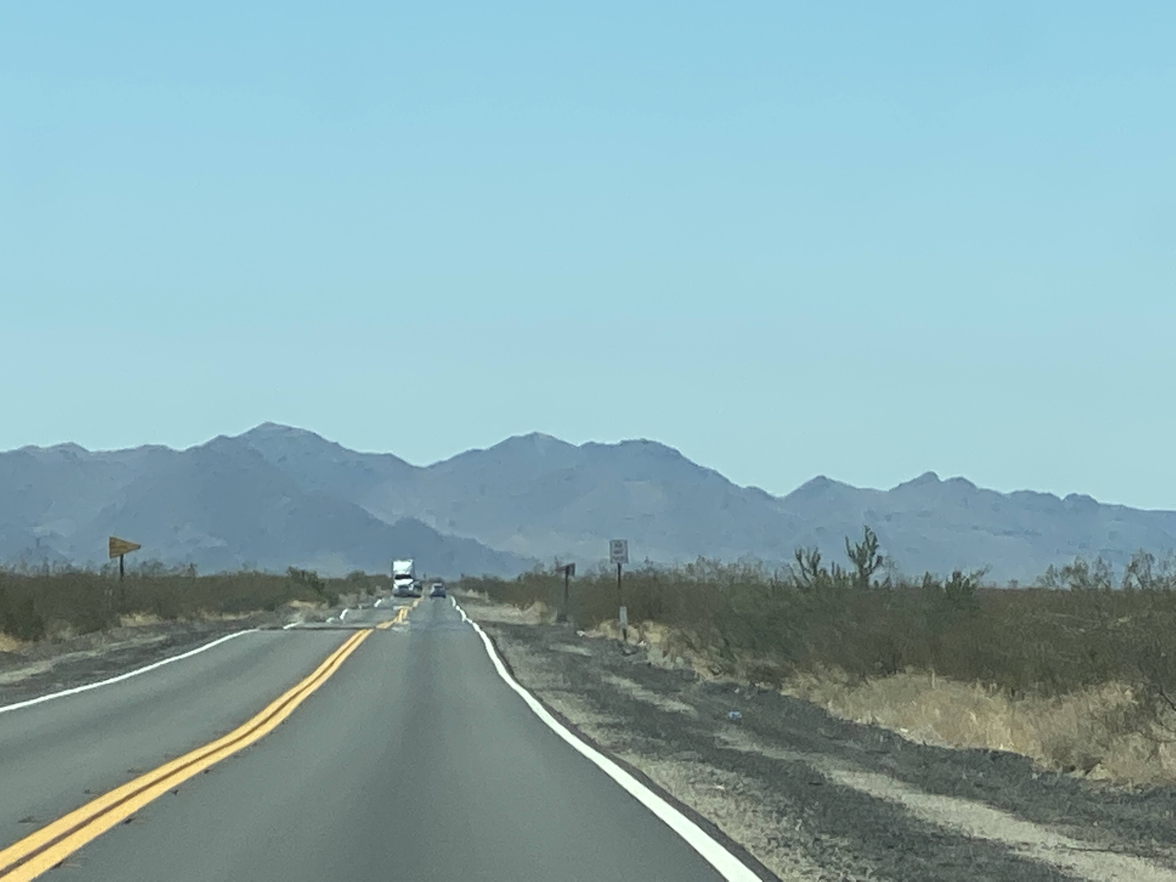
And we continued southeast through California…

There is an exit at Needles to drive along the historic Route 66…

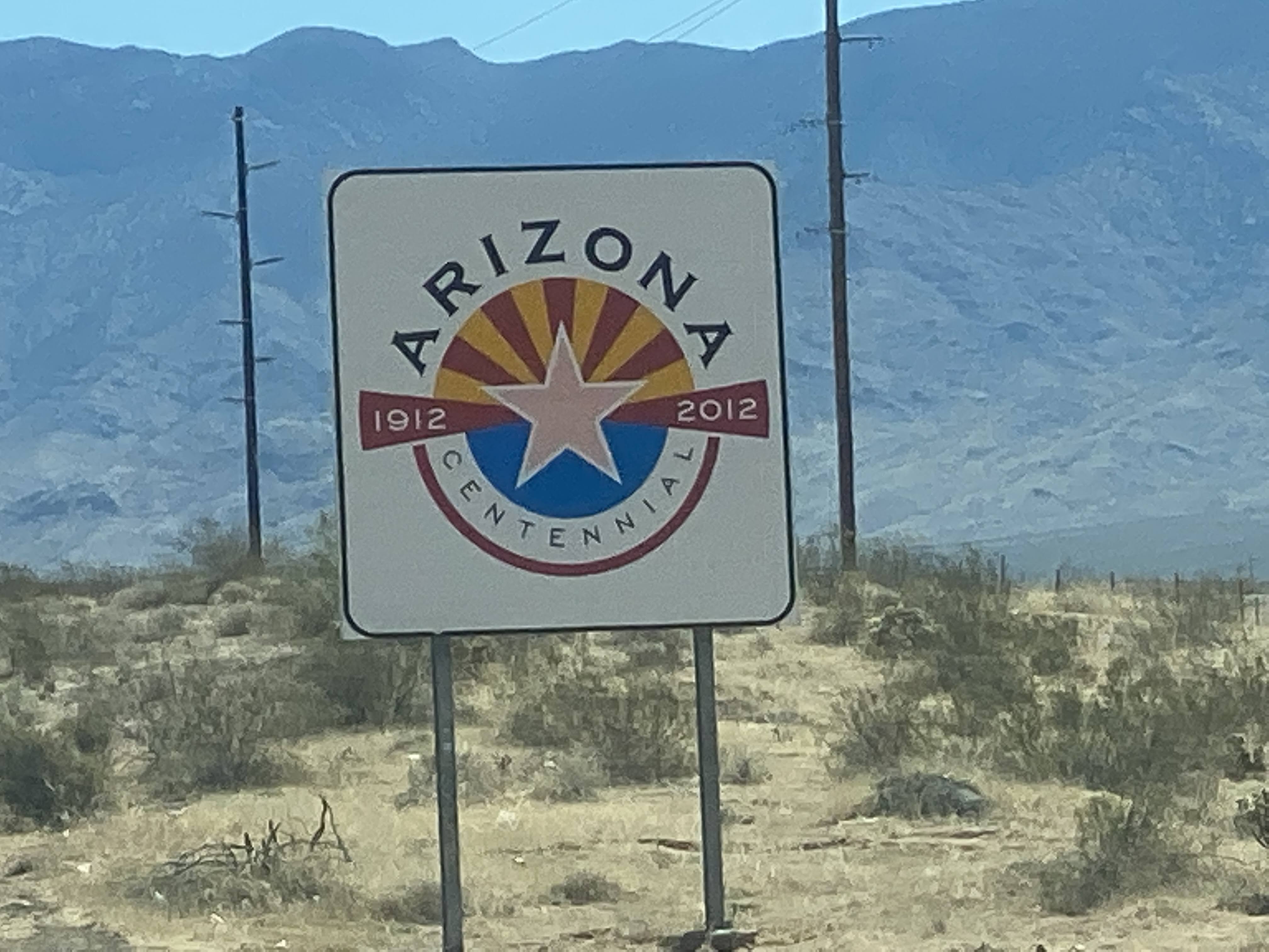
And then we crossed the Colorado River once again and entered Arizona…

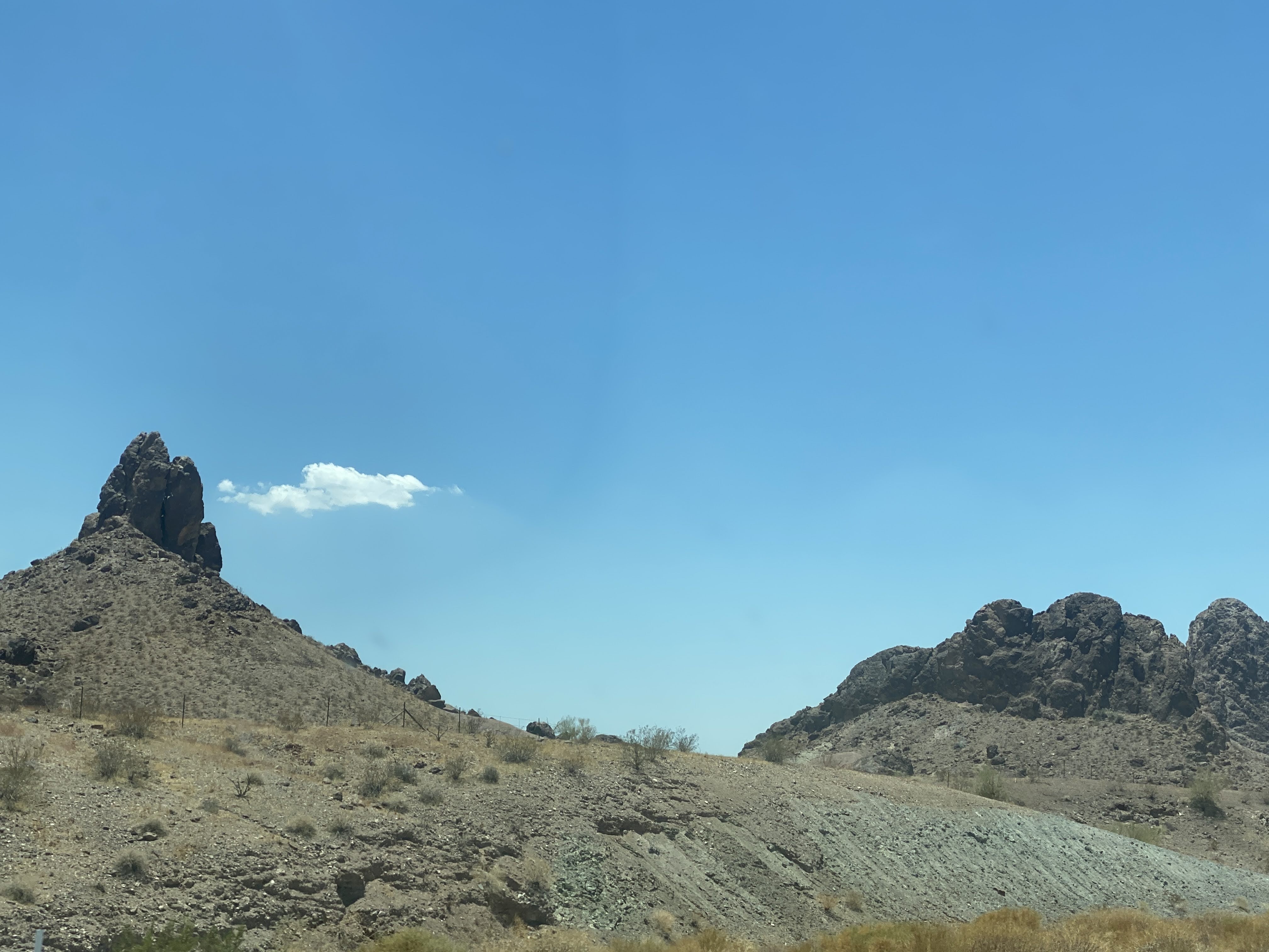
California and Arizona have plenty of interesting mountains…

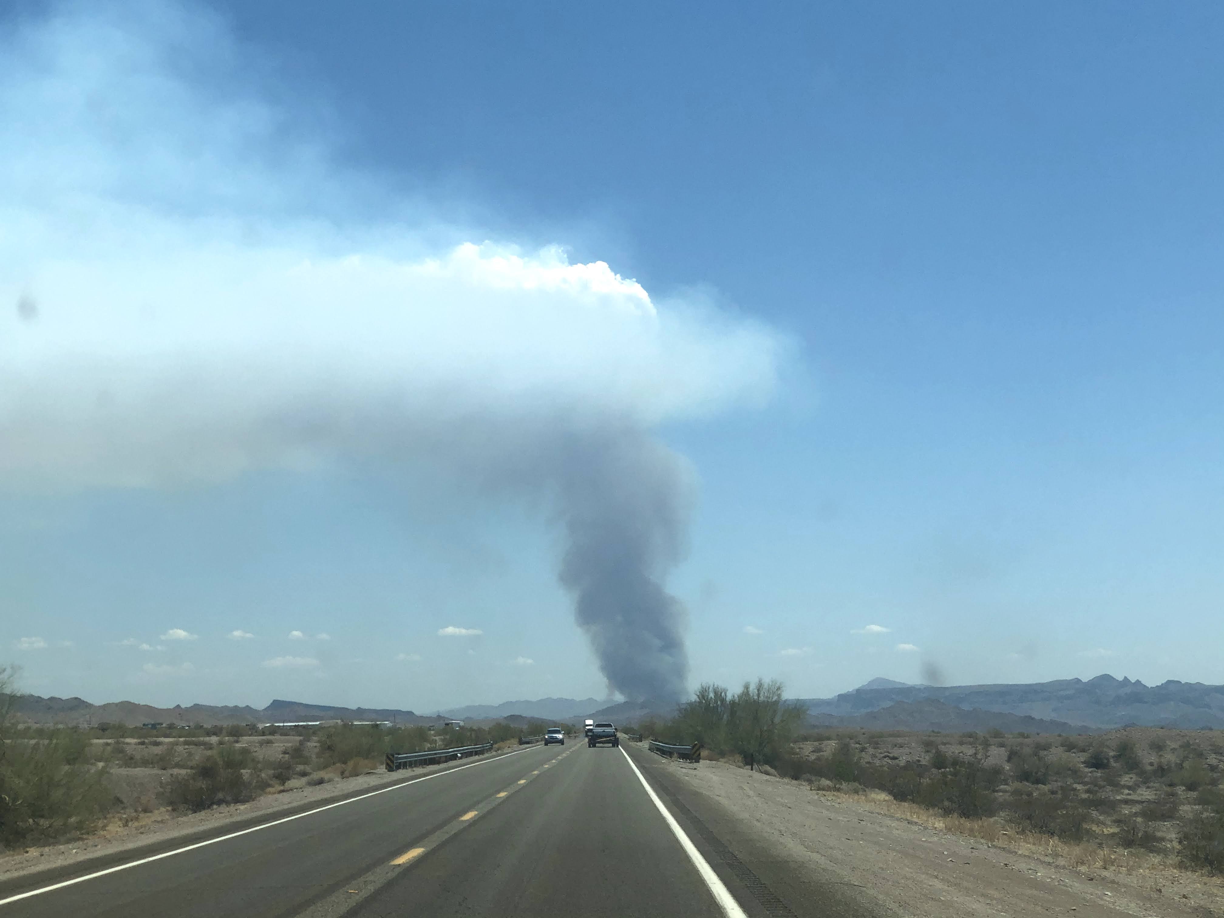
As we headed south on AZ 95 towards Parker we saw smoke ahead…

We never figured out what this was – how does the desert burn like this? But we did hear later that Arizona did close all their State-owned public lands due to the many fires…

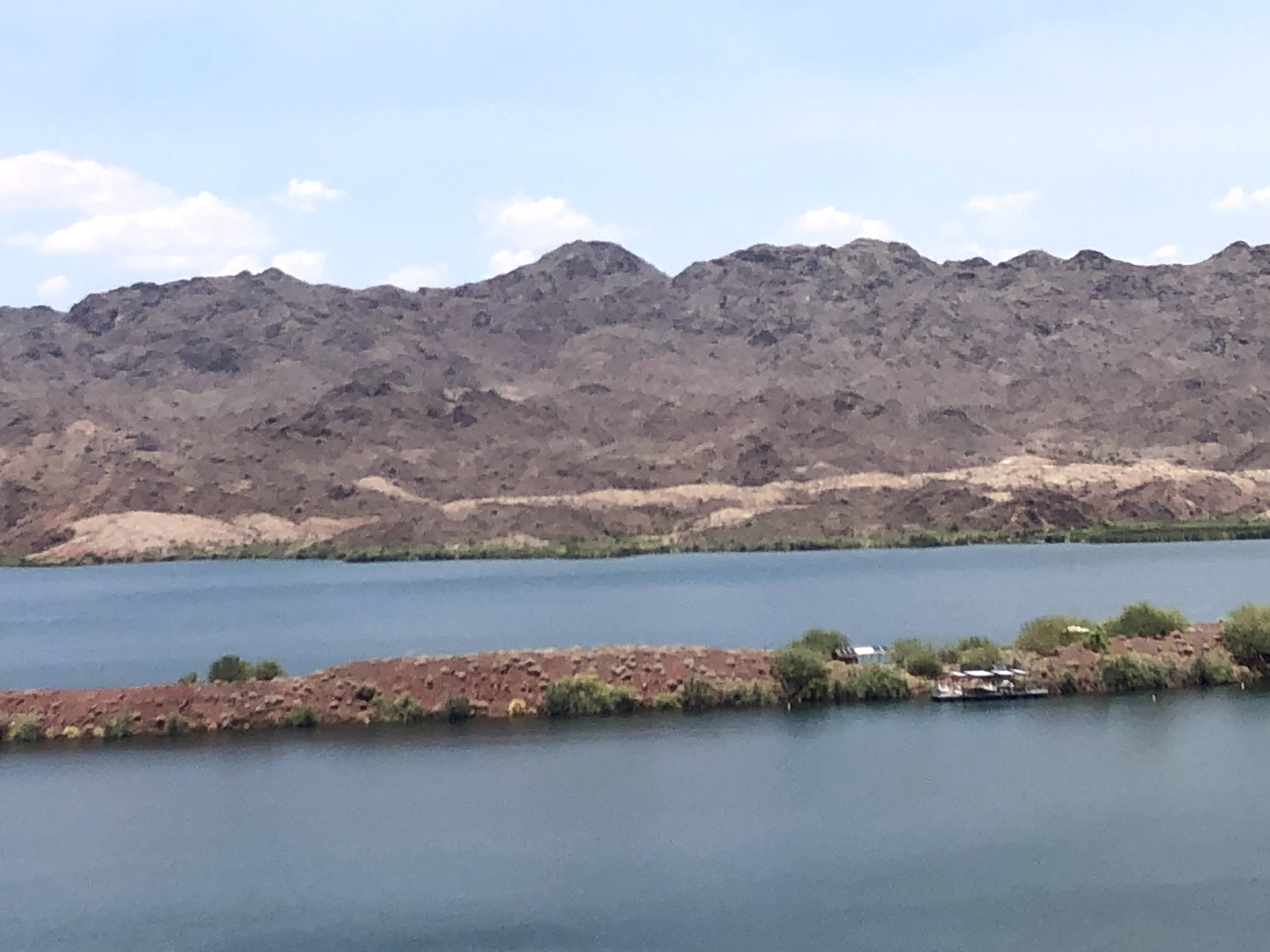
We eventually found the Colorado River again…

We found this nice little enclave of vacation homes in the middle of nowhere…

We suffered through the traffic that is Lake Havasu City, and finally arrived at the Pirates Den RV Resort. This place has seen better days… as have all the “resorts” and trailer parks and campgrounds along the river…

When we tried to check in to our site the manager told us that it was not yet available. The current occupants had truck trouble, and were just now started to pack up. We went into the restaurant to wait – it was 110 degrees outside – and, since we finally had internet access we could check our phones…

The resort has many waterfront sites, with private beach cabanas. We didn’t have one of these…

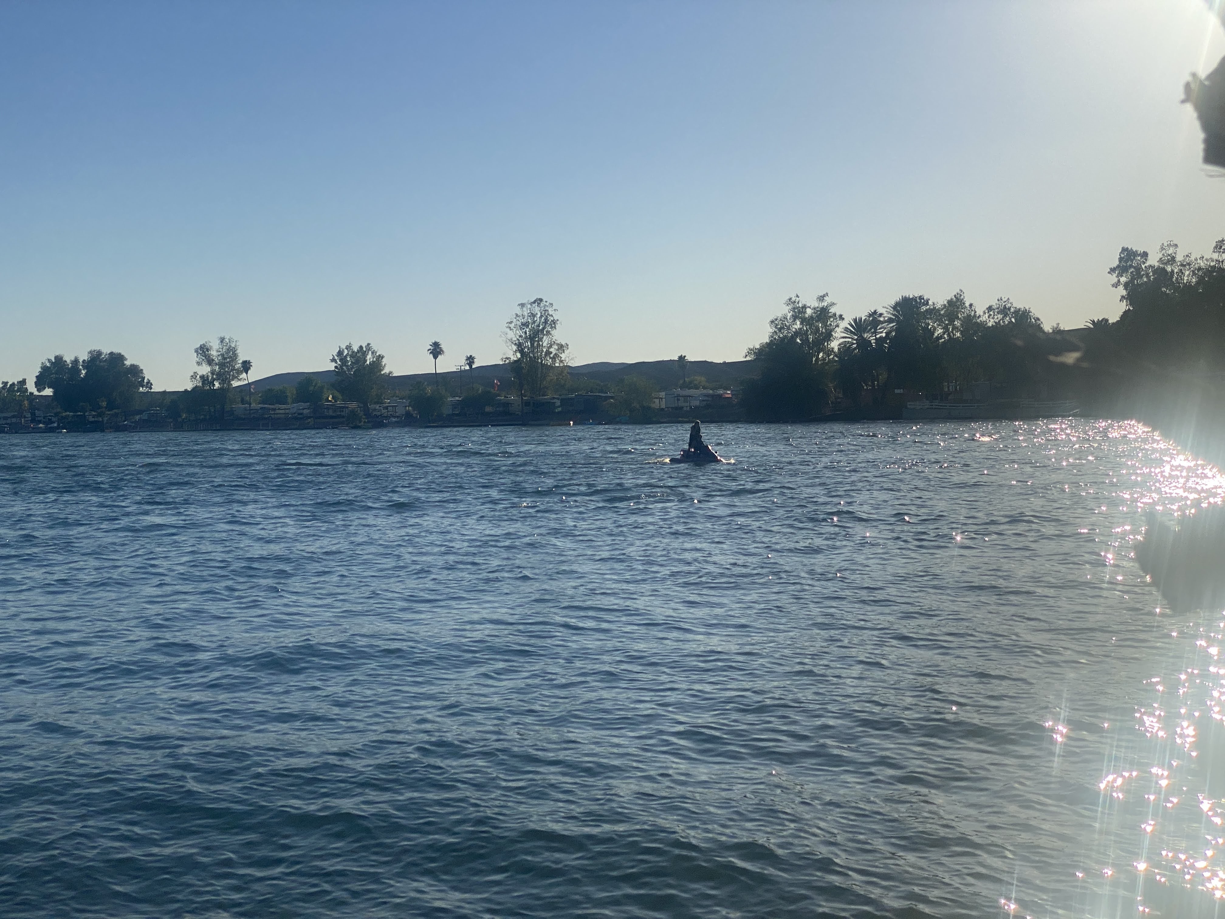
But it is great fun to watch the boat traffic in the river…

Because of the heat we turned in early.

An enjoyable time was had by all…

2021-06-09 – Springtime in the Rockies caravan… Day 14 – Traveling to Jenson, UT

Today is a travel day, as we leave Colorado and enter the far northeast corner of Utah, just a few miles south of Wyoming. We left about 9:00 am and traveled north. At first the roads were small, straight, and well paved…

The views are very stark, very moon-like…

Mountains are rocky and very distinct…

We climbed the mountains, as usual. The road got windier, and the pavement got rougher. In fact, it was terrible!

We turned west, and entered the town of Rangley. We parked the Villa and walked the length of the town. We ate lunch at Dottie’s Diner. Best French fries we’ve had on this trip! But the chili had absolutely no spice or heat to it – I suspect there wasn’t even salt and pepper… But we easily put these things aside, and we enjoyed our meal…

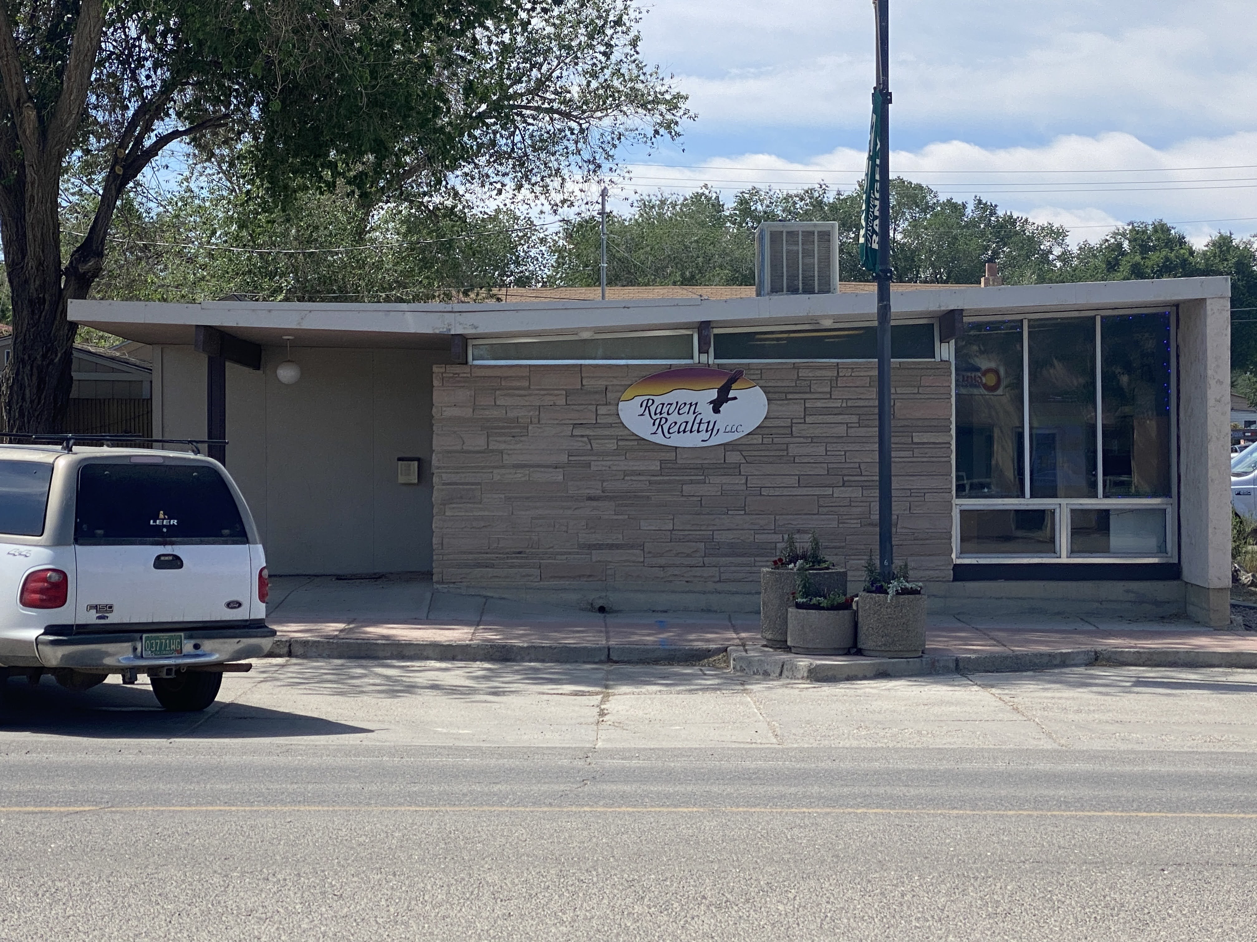
Walking back to the Villa we passed one of the very few modern building we have seen on this trip…

We walked back to the Villa and continued west, into Utah!

We proceeded west, passing through Dinosaur, CO, where the local townsfolk have a lot of fun naming their streets things like Brontosaurus Street and naming their ice cream parlor “Bedrock”…

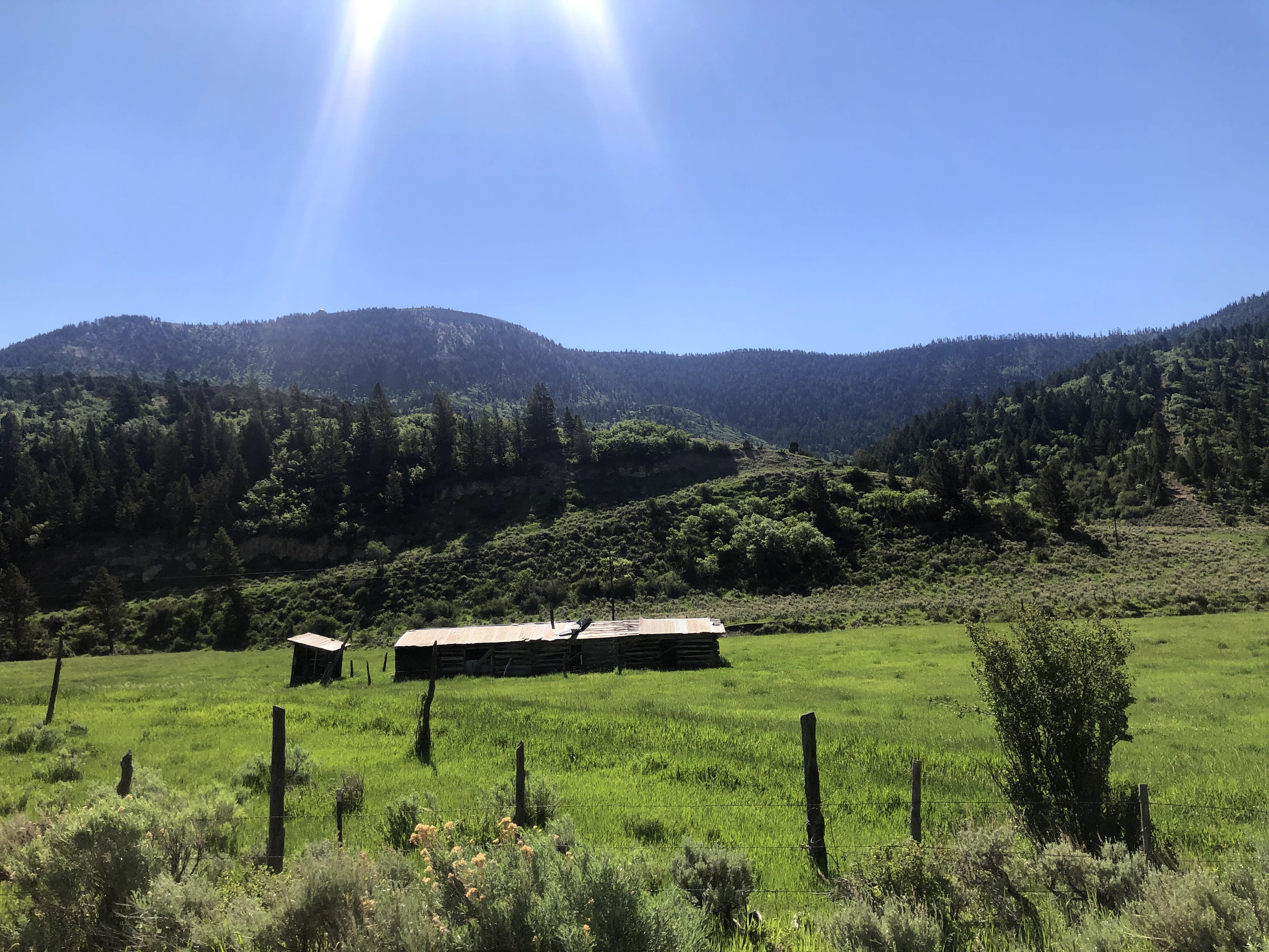
Utah looks a lot like Colorado here…

We proceeded west, finally arriving at the tiny town of Jensen, UT. We turned north and entered Dinosaur National Monument…

Our RV park is in a valley adjacent to the Green River. The Green River here is about as large as the Colorado River was near Fruita. Many miles south of here, just north of Moab, Utah, in the city of Green River, Utah, the Green joins the Colorado, and the Colorado becomes a very large river. It was at this point, on the Green River, that John Wesley Powell began his exploration of the Colorado River, starting in 1869, eventually traveling through the Grand Canyon…

This image has an empty alt attribute; its file name is img_6278.jpg

We set up the Villa in the park. We are “dry camping” here – no electricity, water, or sewer hook-ups. We are really roughing it! I set out the solar panels, and I hope we won’t have to bring out the generators…

We left the RV park to visit the Dinosaur National Monument Visitors Center and Quarry Exhibits.

We approached the Visitors Center. Quite a nice modern building…

Dinosaur National Monument is located on the southeast flank of the Uinta Mountains on the border between Colorado and Utah at the confluence of the Green and Yampa rivers. Although most of the monument area is in Colorado, the Dinosaur Quarry is located in Utah, north of the town of Jensen. The nearest Colorado town is Dinosaur, while the nearest cities in Utah are Naples and Vernal.

Originally preserved in 1915 to protect its famous Dinosaur Quarry, the monument was greatly expanded in 1938 to include its wealth of natural history. The park’s wild landscapes, topography, geology, paleontology, and history make it a unique resource for both science and recreation. The park contains over 800 paleontological sites and has fossils of dinosaurs including AllosaurusDeinonychusAbydosaurus, and various sauropods.  The Abydosaurus fossil consists of a nearly complete skull, the lower jaw, and first four neck vertebrae.

Paleontologist Earl Douglass of the Carnegie Museum discovered eight vertebra of an Apatosaurus on August 17, 1909, which became the first dinosaur skeleton discovered and excavated at the new Carnegie Quarry. The area around the quarry was declared a national monument on October 4, 1915.

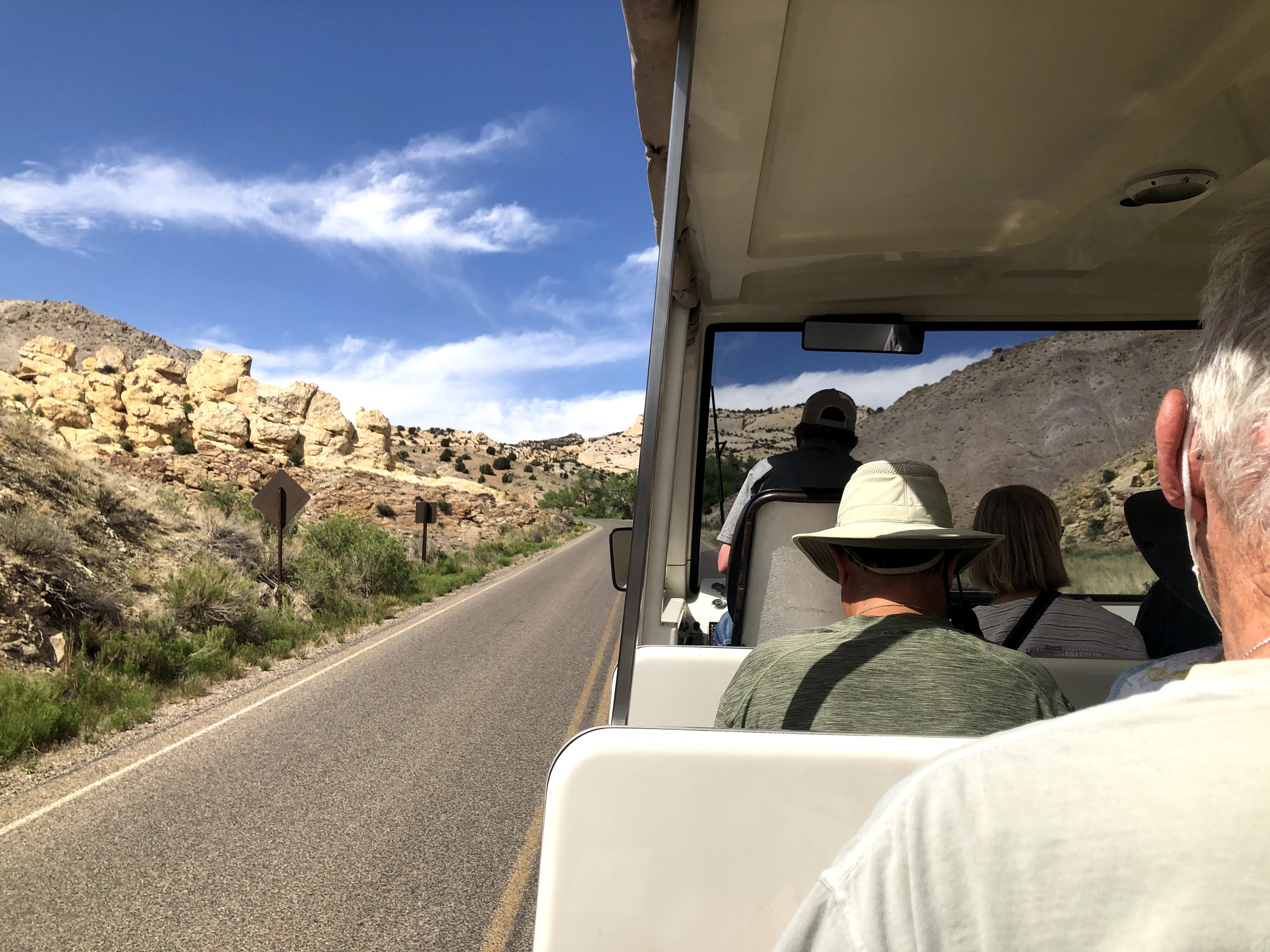
We took a shuttle from the Visitors Center up to the Quarry…

The Quarry Exhibit Hall is a magnificent building, built into the side of the mountain, to shield the quarry exhibits from the elements, and to show visitors what the bones and fossils look like when they are uncovered.

Again, I find the building much more interesting than dinosaur bones… I found this picture of the original building, erected in 1958. Unfortunately, due to the soils under the building and the seismic activity over the years, the original building was condemned in the 1990s, and totally reinforced and rebuilt. Note the difference between today’s building, above, and the original building, below…

Inside is a giant, two level exhibit hall, allowing visitors to see the fossils and bones on display…

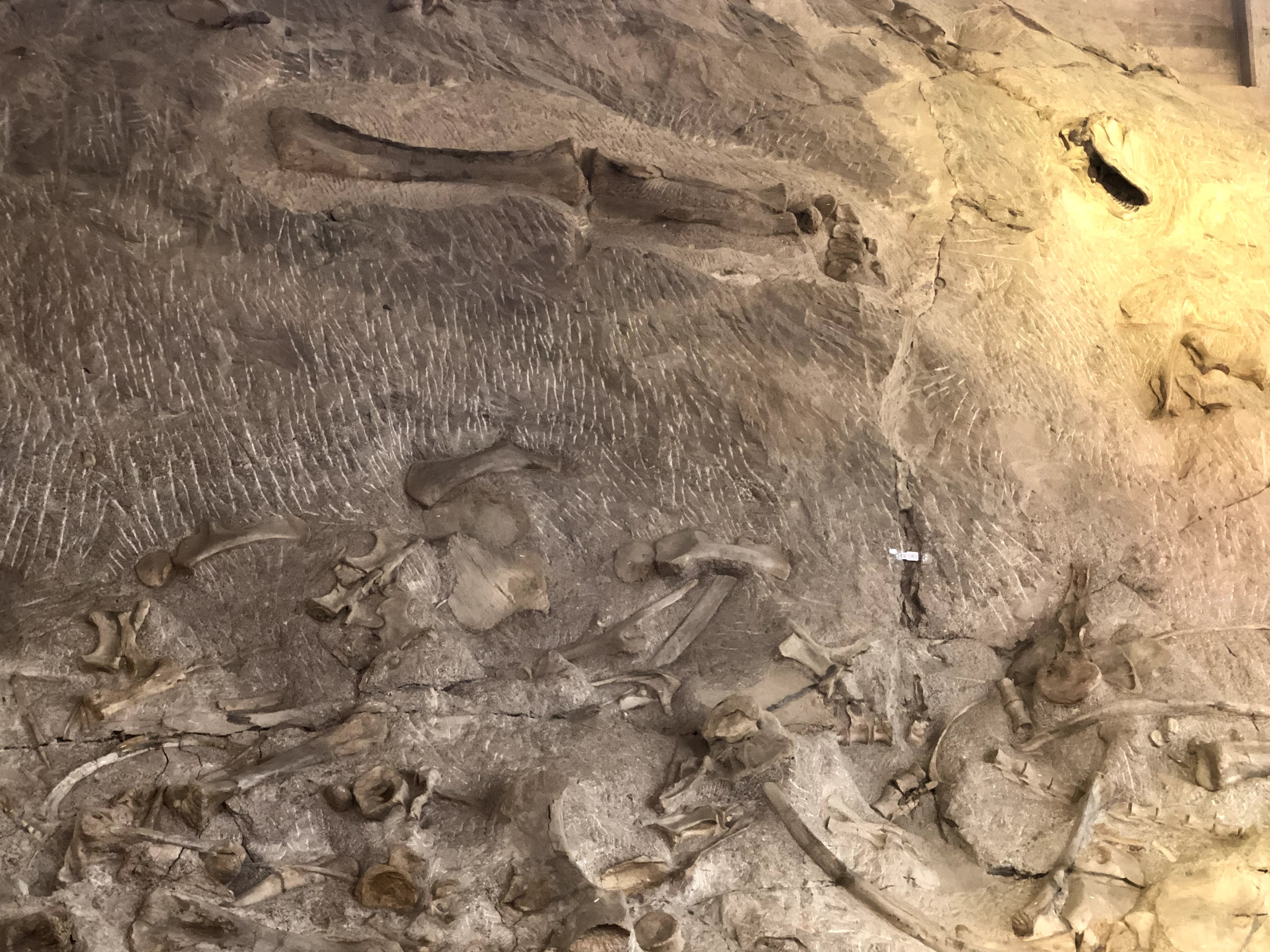
All these fossils and bones are in their “as-found” condition… It is quite a display…!

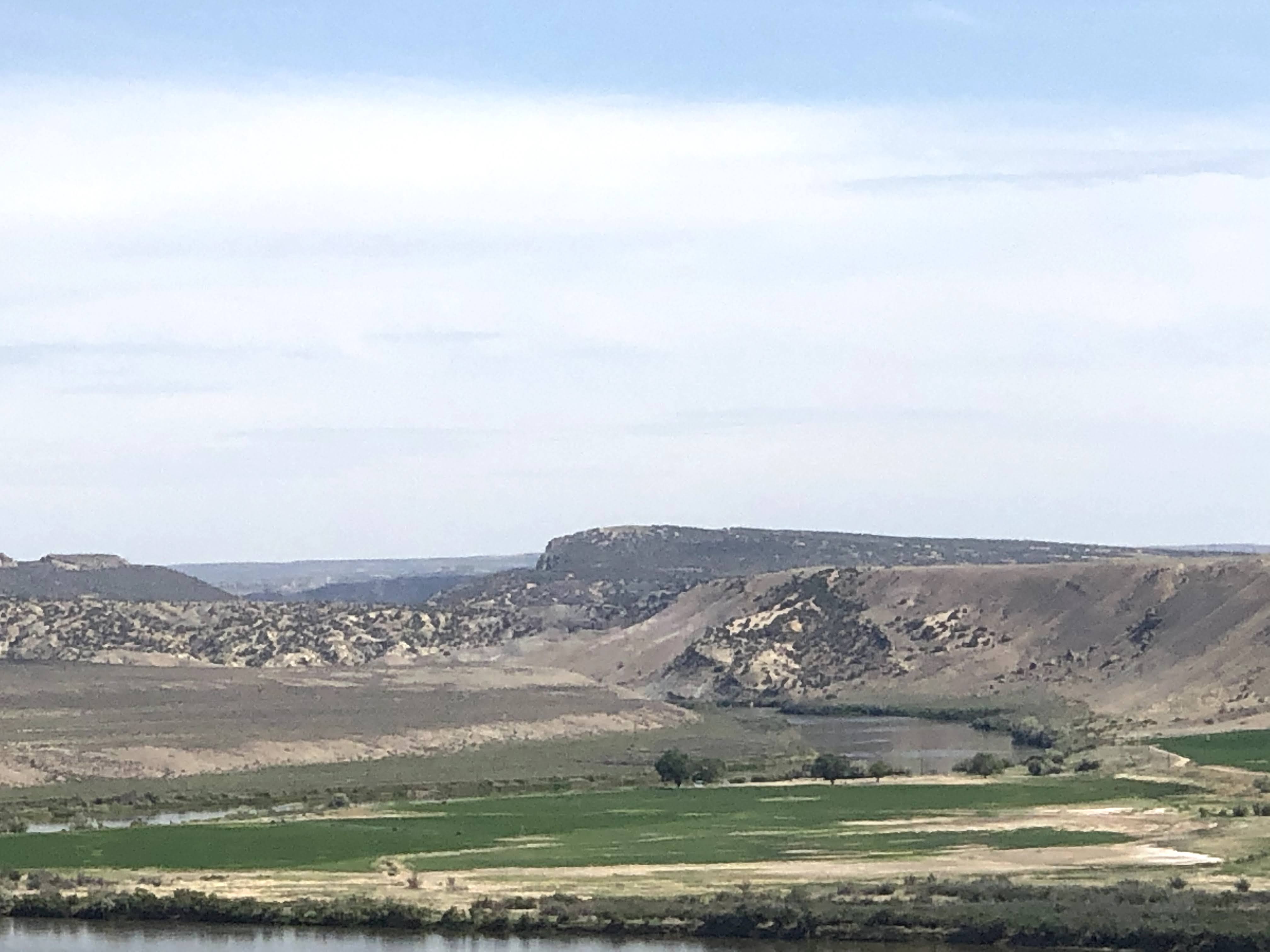
The views were great from the Quarry Exhibit… After we had had enough of bones and fossils, we returned to the Villa…

This image has an empty alt attribute; its file name is img_0977.jpg

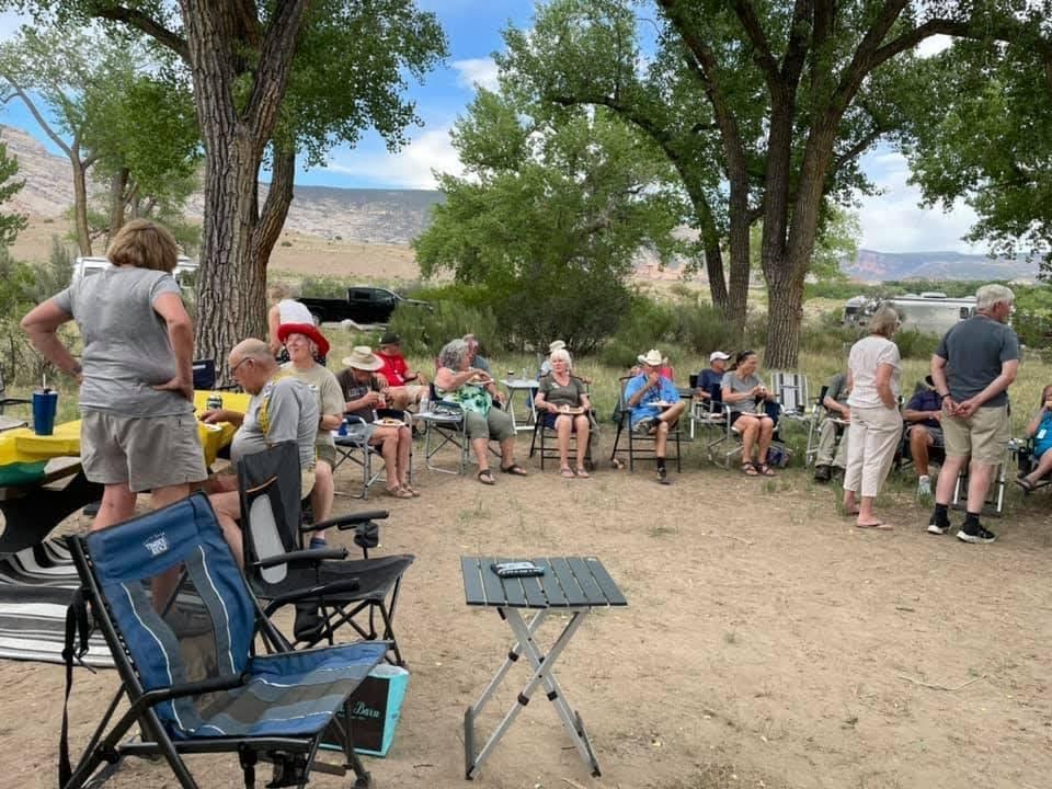
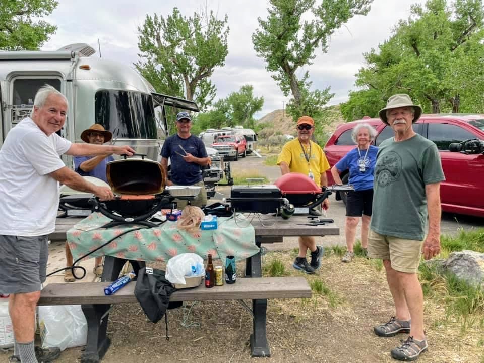
Happy Hours ensued, which turned into a weenie roast..

This is a typical thing on Airstream caravans – social get-togethers to share ice cream, birthday cake, or, in this case, a weenie roast…

We have cooking crew volunteers to set these things up…

And an enjoyable time was had by all…

2021-06-07 – Springtime in the Rockies caravan… Day 12 – Fruita, CO

Today we return to the Colorado National Monument to see more of its beauty…

On our way to the entrance we crossed the mighty Colorado River…

The Colorado River is the major river of the southwestern United States and northwest Mexico. Its headwaters are in Rocky Mountain National Park where La Poudre Pass Lake is its source. It flows southwest through the Colorado Plateau country of western Colorado, southeastern Utah and northwestern Arizona, where it flows through the Grand Canyon. It turns south near Las Vegas, Nevada, forming the Arizona–Nevada border in Lake Mead and the Arizona–California border a few miles below Davis Dam between Laughlin, Nevada and Needles, California, before entering Mexico in the Colorado Desert. Most of its waters are diverted into the Imperial Valley of Southern California. In Mexico its course forms the boundary between Sonora and Baja California before entering the Gulf of California.

We re-entered the Colorado National Monument.

On August 25, 1916, President Woodrow Wilson signed the “Organic Act” creating the National Park Service, a federal bureau in the Department of the Interior responsible for maintaining national parks and monuments that were then managed by the department. The National Park System has since expanded to 423 units (often referred to as parks), more than 150 related areas, and numerous programs that assist in conserving the nation’s natural and cultural heritage for the benefit of current and future generations.

The National Park Service manages all of the various “units” – Parks, Forests, Monuments, Historic Sites, Lakeshores, Recreation Areas, Scenic Trails, and several other designations. The first parks were Yellowstone (1872), Sequoia (1890), Yosemite (1890), Mt. Rainier (1899), Crater Lake (1902), Wind Cave (1903), Mesa Verde (1906), Glacier (1910), Rocky Mountain (1915). Colorado National Monument was established in 1911. The different desinations have to do with how they are created. National Parks are created by acts of Congress. National Monuments and most other designations are created by the President via Executive Order. Thirty States have National Parks; the States with the most parks are: California (9), Alaska (8), Utah (5), and Colorado (4).

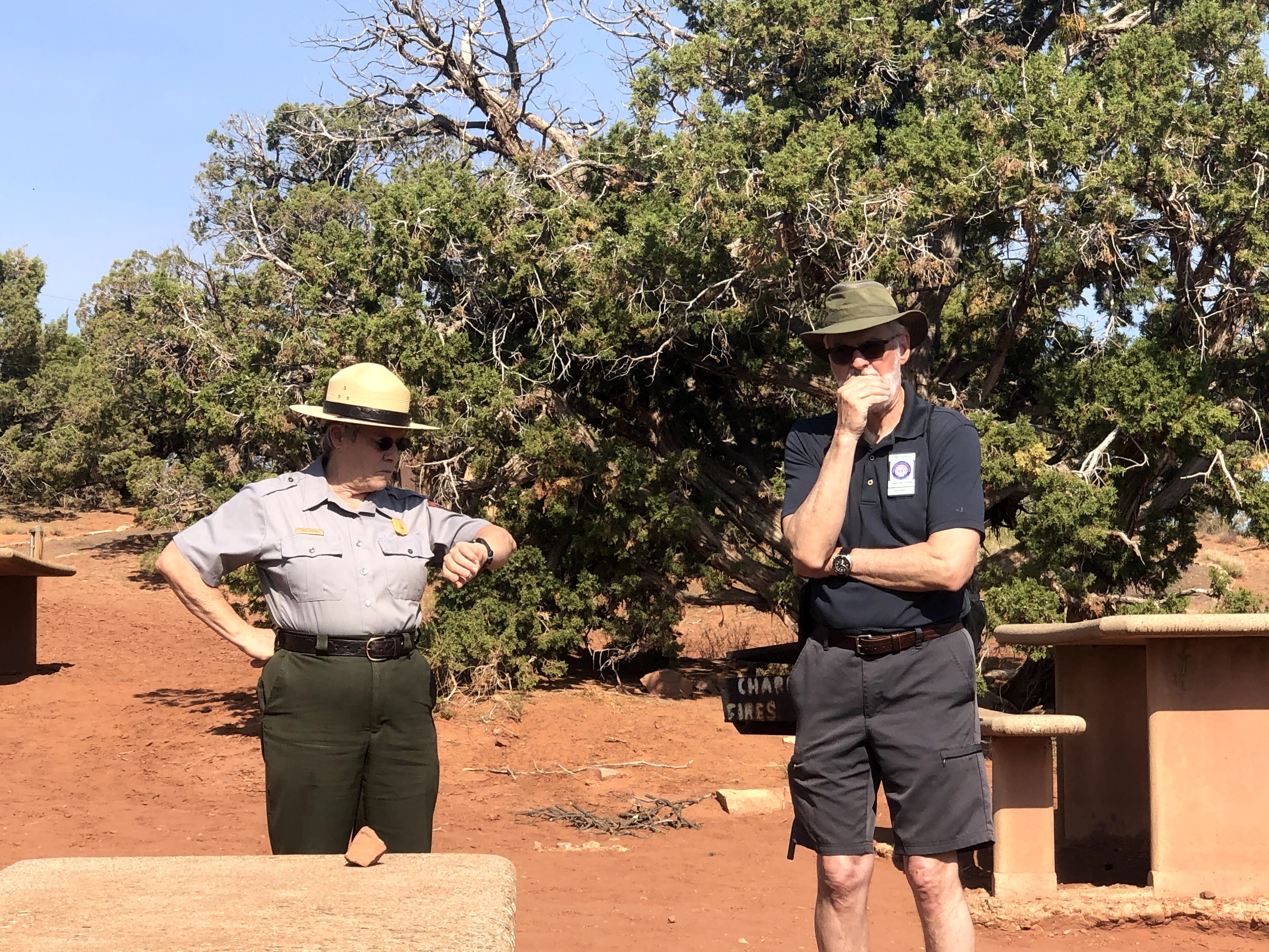
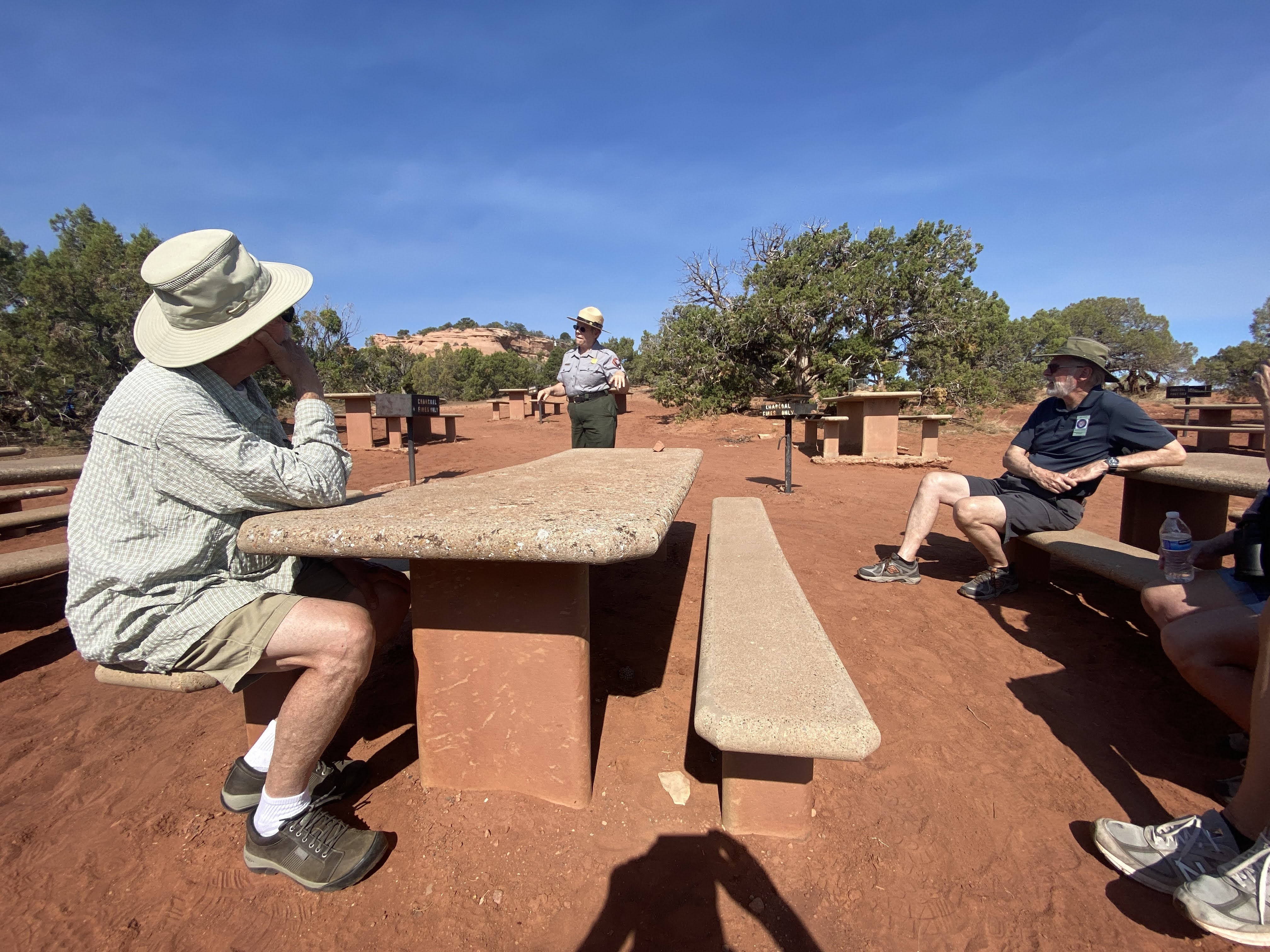
We began our visit with a ranger talk in the picnic area where we had had dinner last night…

We learned about the geology of these magnificent cliffs and canyons, plus a little of the park history. The man behind the creation of the Colorado National Monument was John Otto, who settled in Grand Junction in the early 20th century. Otto was the first white man to explore the area.

Prior to Otto’s arrival, many area residents believed the canyons to be inaccessible to humans. Otto began building trails on the plateau and into the canyons.  As word spread about his work, the Chamber of Commerce of Grand Junction sent a delegation to investigate. The delegation returned praising both Otto’s work and the scenic beauty of the wilderness area, and the local newspaper began lobbying to make it a National Park. A bill was introduced and carried by the local Representatives to the U.S. Congress and Senate but a Congressional slowdown in the final months threatened the process. To ensure protection of the canyons President William Howard Taft (who had visited the area) stepped in and used the highest powers available to him via the Antiquities Act and presidential proclamation to declare the canyons as a national monument

John Otto was hired as the first park ranger, drawing a salary of $1 per month. For the next 16 years, he continued building and maintaining trails while living in a tent in the park.

For many years during the Great Depression, the Civilian Conservation Corps. built roads, tunnels, trails, and other features of the park. The CCC left in 1941; the major Rim drive was completed in the 1950s.

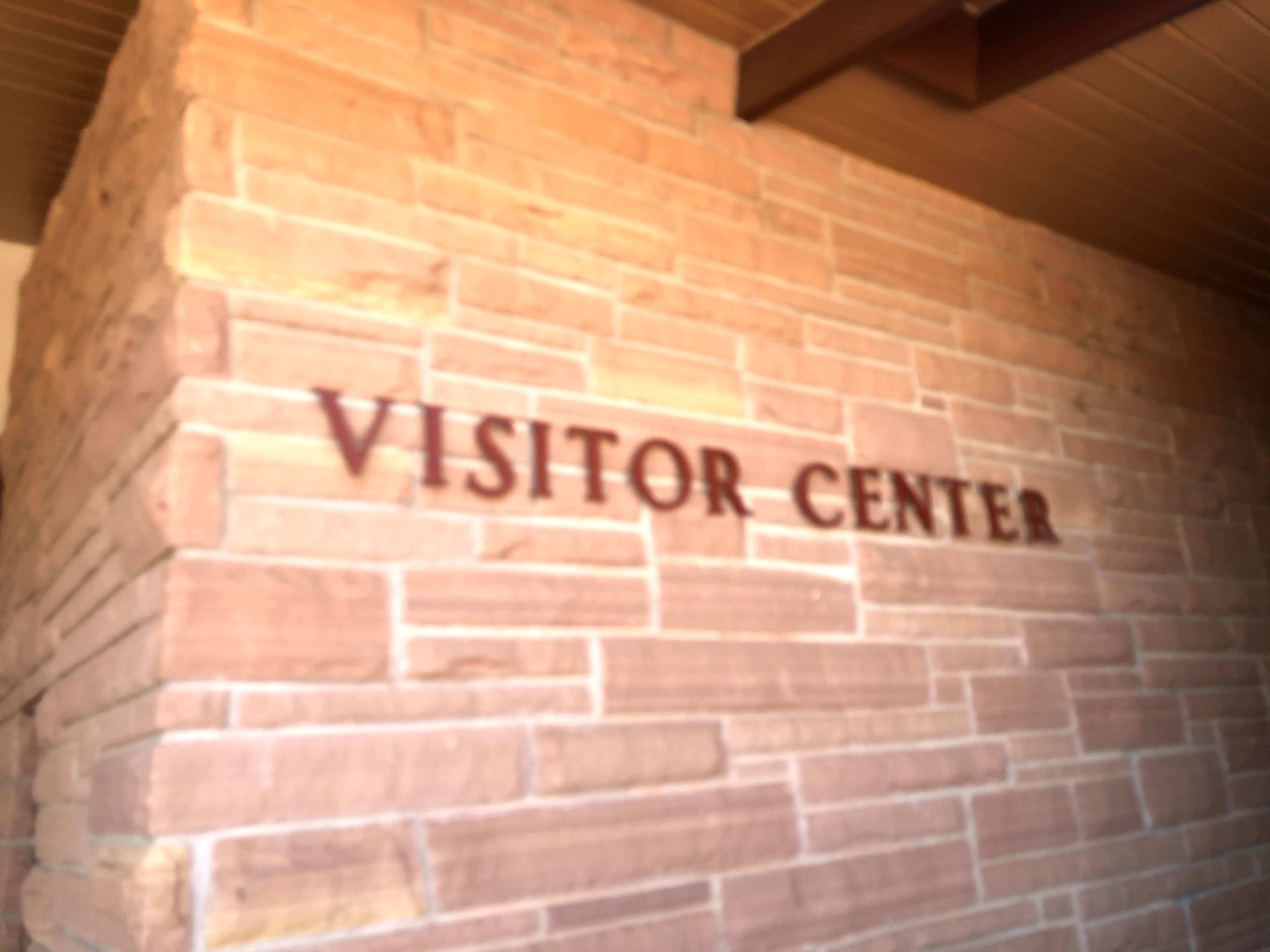
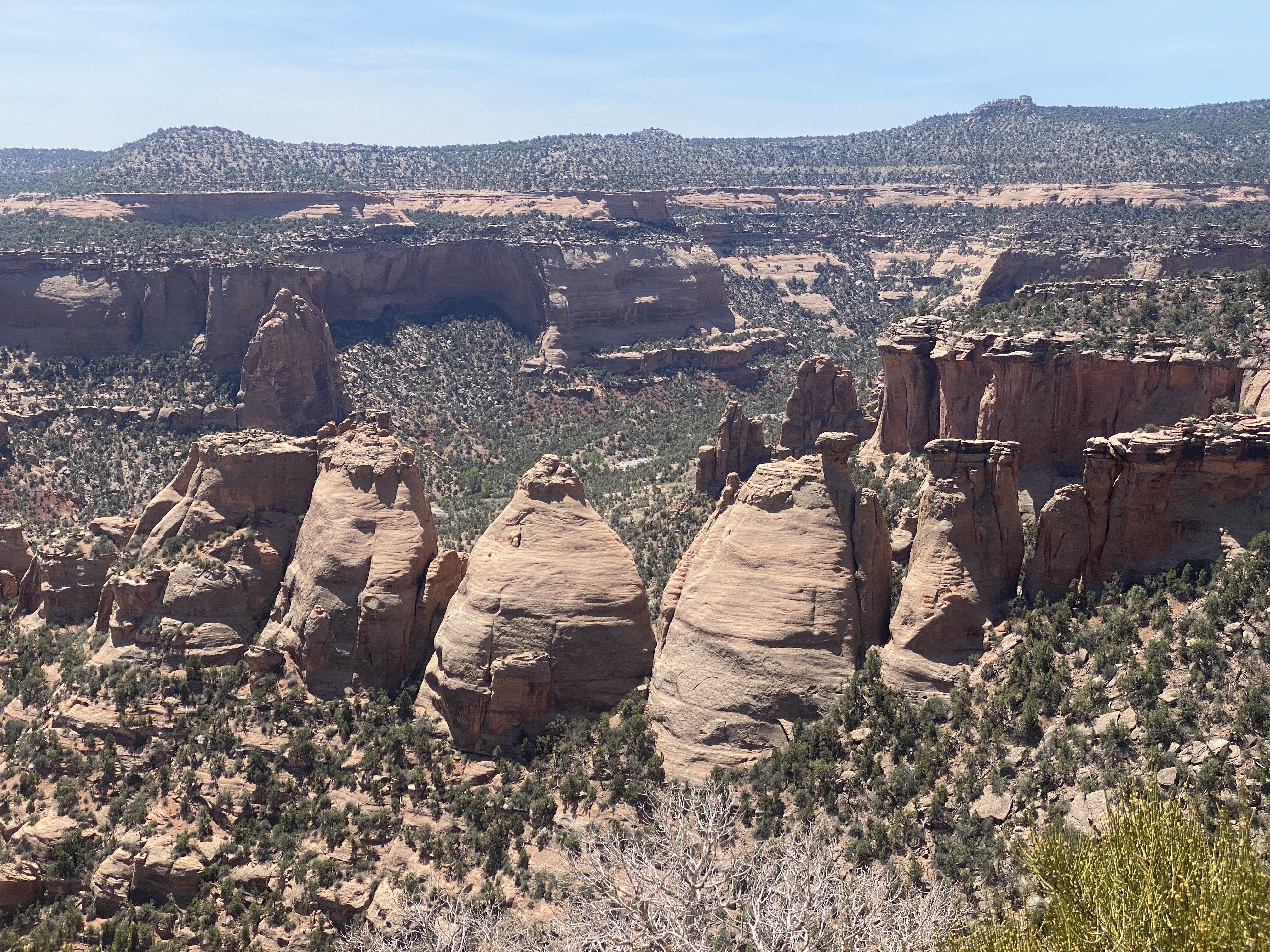
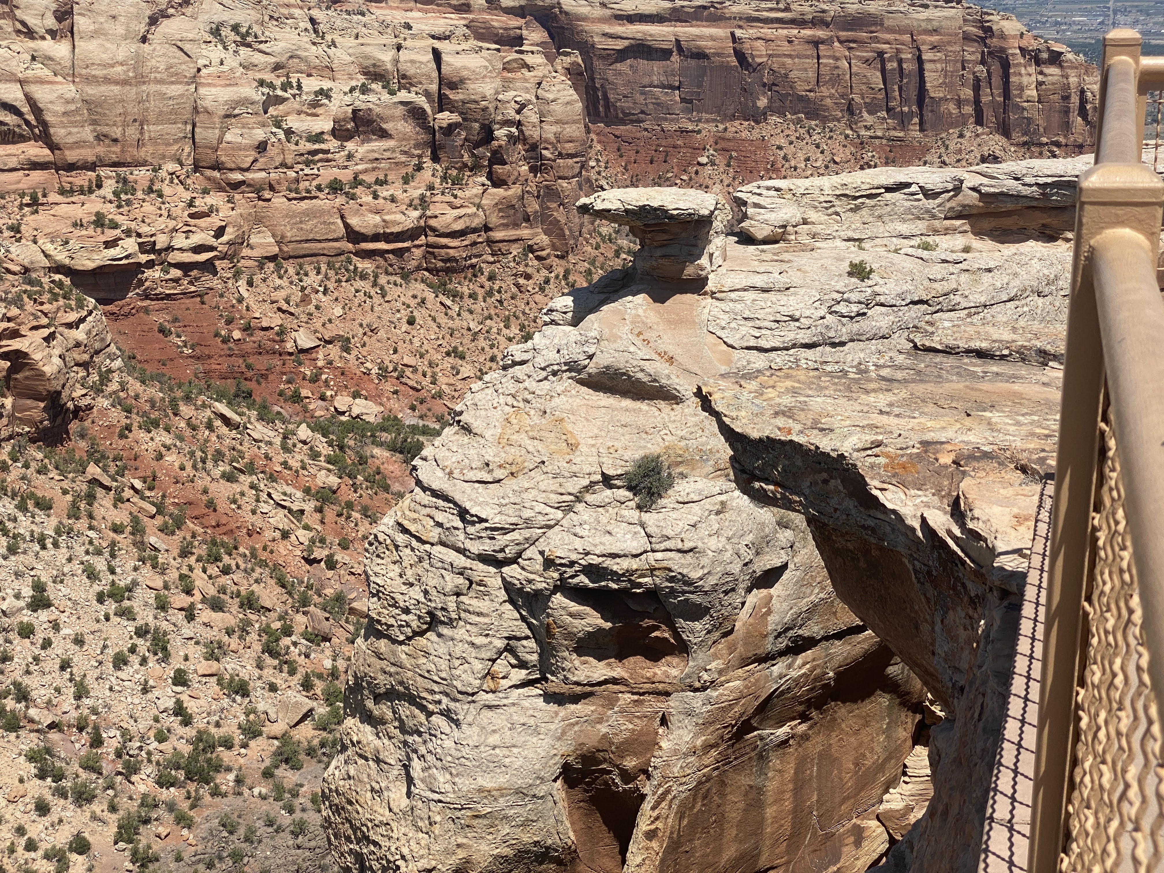
Following the Ranger talk we visited the Visitor Center. I liked the fact that it is built from the native sandstone…

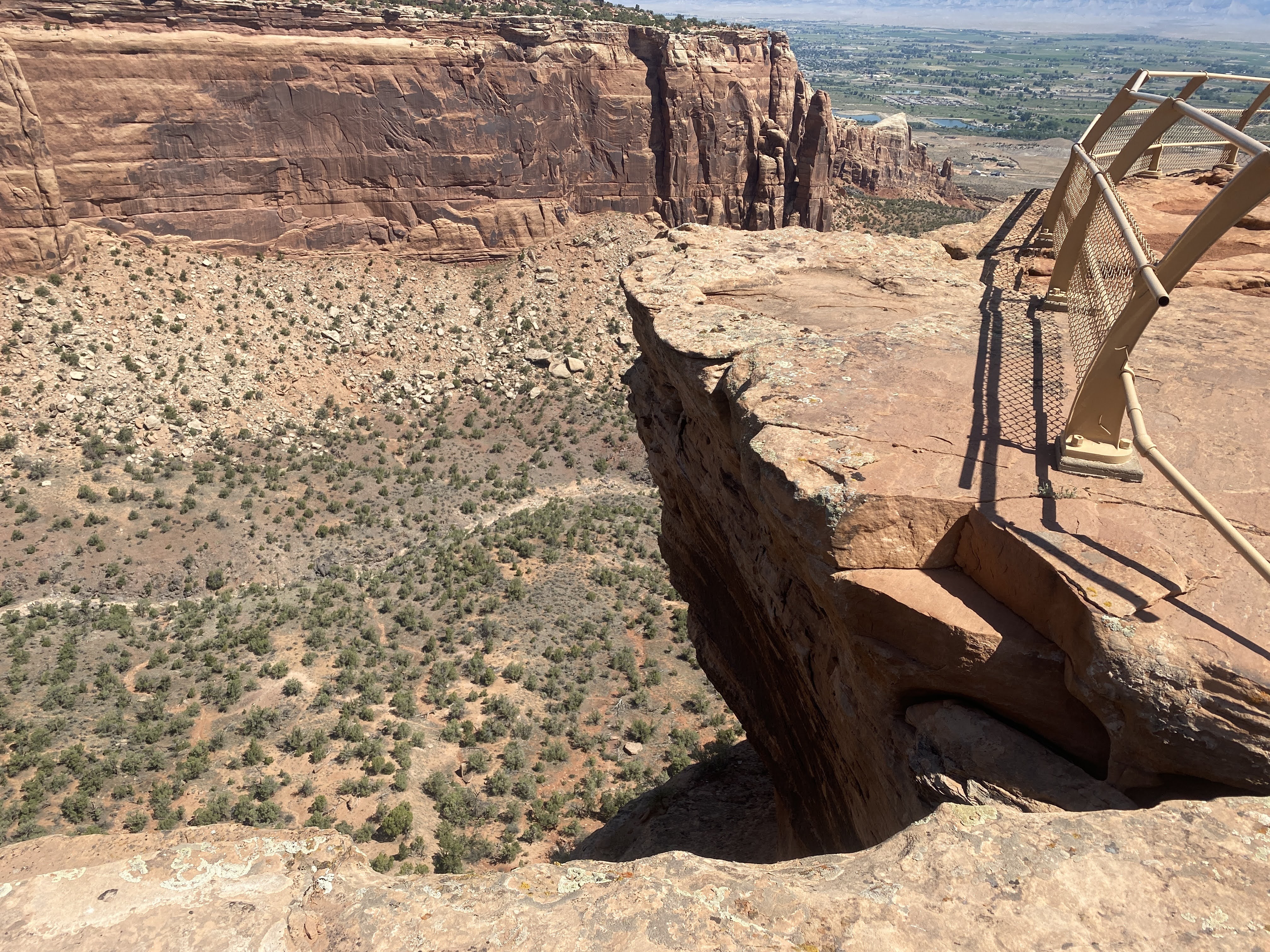
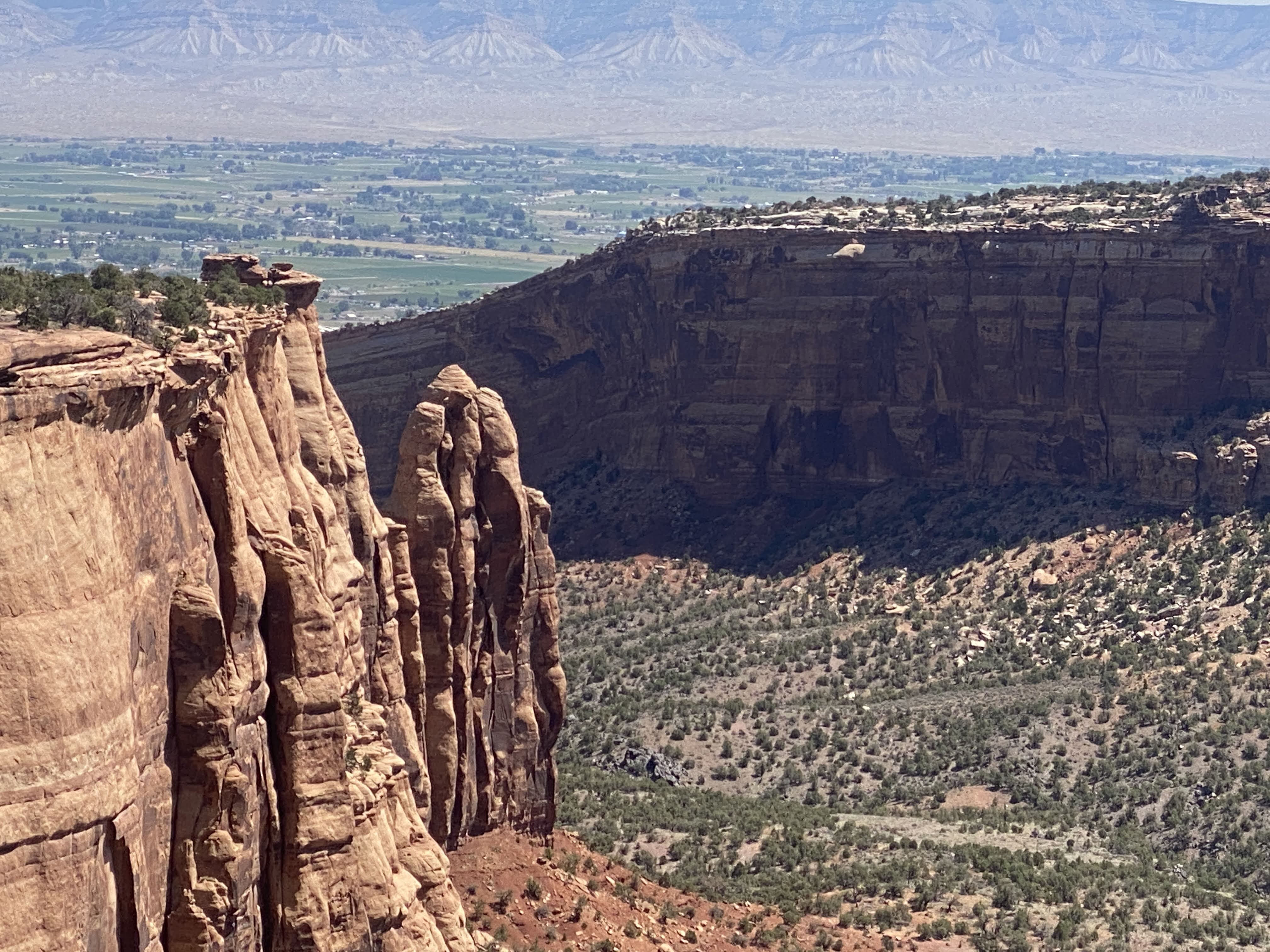
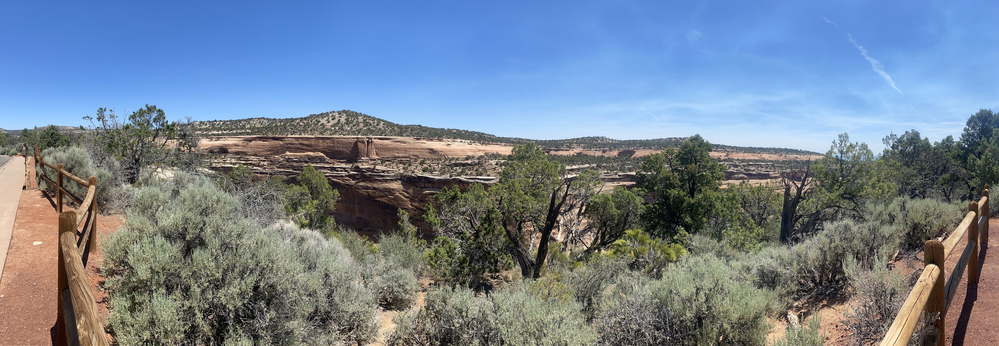
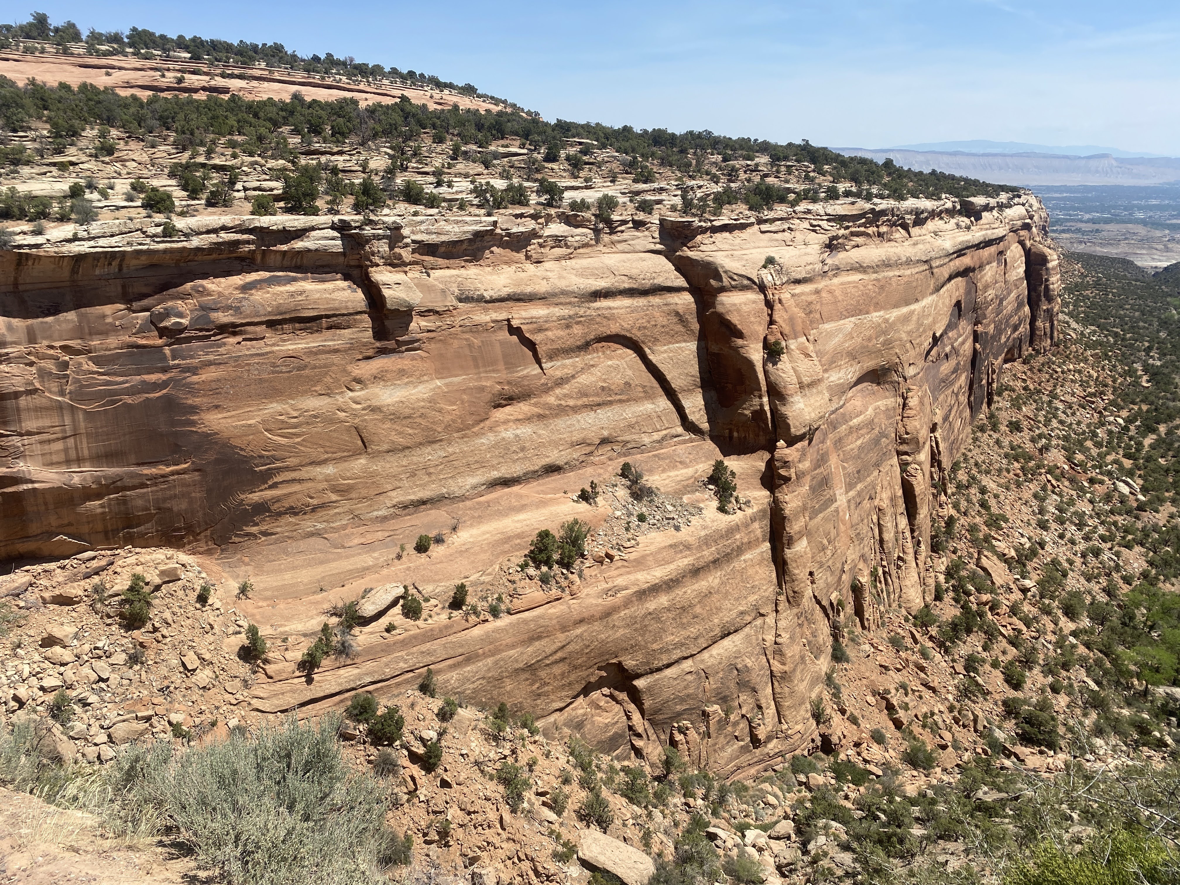
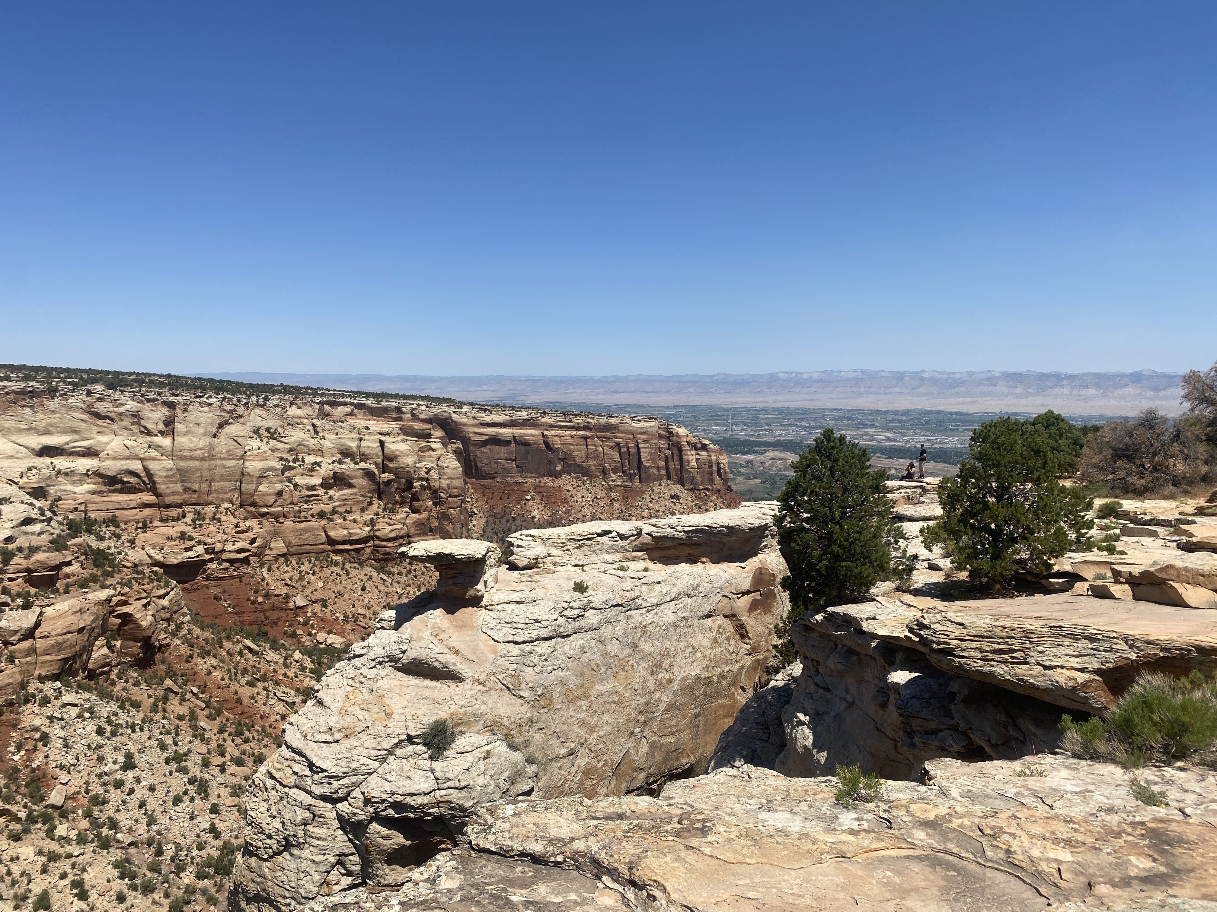
After we had seen a few exhibits in the Visitor Center we drove the Rim drive for 23 miles, all the way to Grand Junction. We saw 23 miles of rocks.

Here I liked the walls made from the natural sandstone… These walls are several hundred feet long, and they occur at many of the pull-outs along the Rim drive…

After we left the park we drove through Grand Junction again. We found truck fuel and DEF. Tomorrow we will return to Fruita for some final grocery shopping before we enter the wilderness of Dinosaur National Monument, Flaming Gorge Dam, and the Grand Tetons National Park…

It was 97 degrees again, but we have good, clean power, so both AC units are running in the Airstream… At 5:00 we took a walk around the lake in the park.

We also saw the Colorado River again, adjacent to the park…

Unfortunately, we walked out of the park and around the outside of the park, and finally had to go totally around the park and walk in the maim entrance…

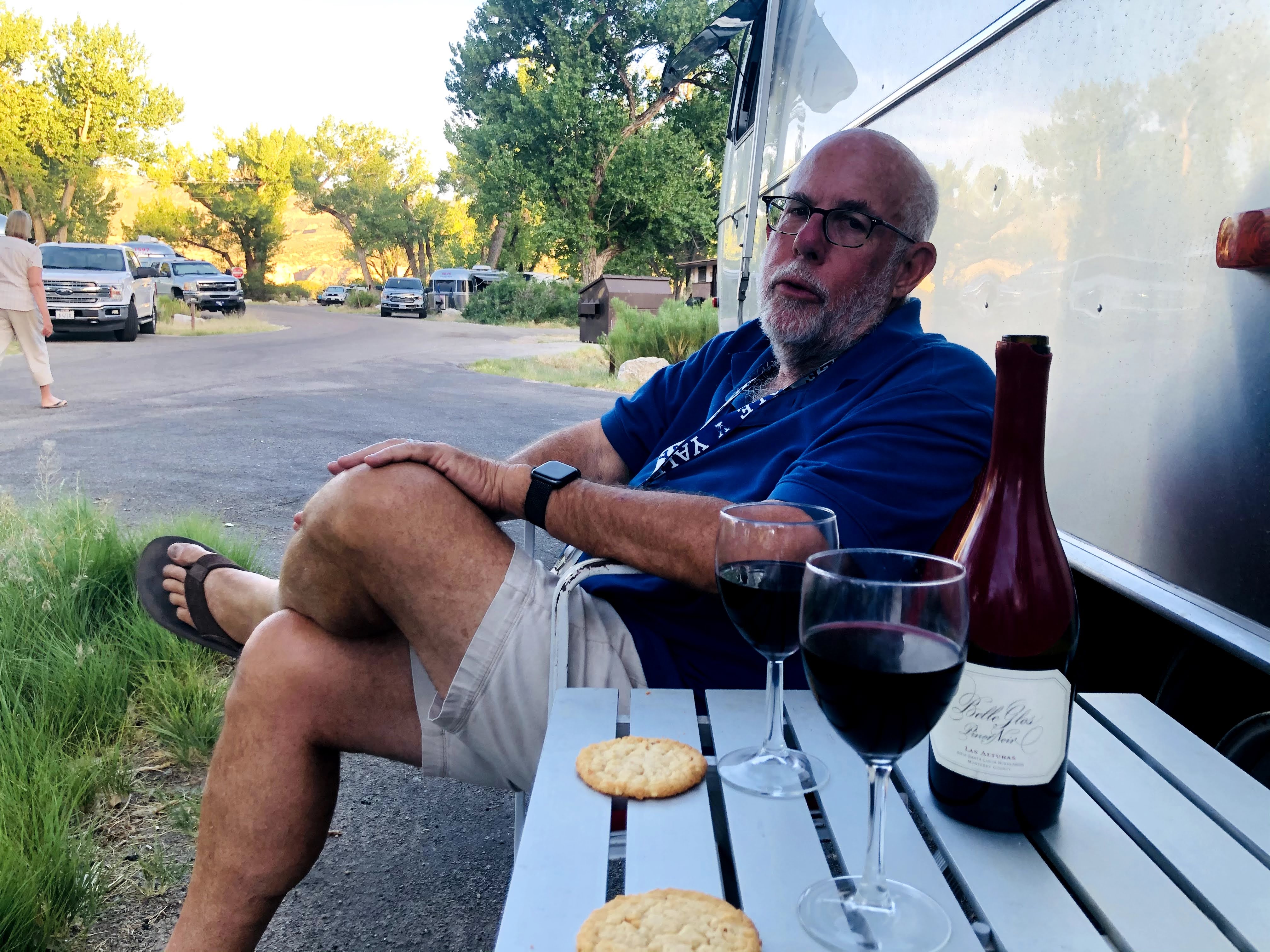
After a short break we joined other caravaners for happy hours. We returned to the Villa, and an enjoyable time was had by all…,

2021-05-28 – Springtime in the Rockies caravan… Estes Park, CO – Day 2 – Rocky Mountain National Park

Today we enter Rocky Mountain National Park.

Rocky Mountain National Park is located approximately 76 mi northwest of Denver in north-central Colorado, within the Front Range of the Rocky Mountains. The park is situated between the towns of Estes Park to the east and Grand Lake to the west. The eastern and western slopes of the Continental Divide run directly through the center of the park with the headwaters of the Colorado River located in the park’s northwestern region.[6] The main features of the park include mountains, alpine lakes and a wide variety of wildlife within various climates and environments, from wooded forests to mountain tundra.

The Rocky Mountain National Park Act was signed by President Woodrow Wilson on January 26, 1915, establishing the park boundaries and protecting the area for future generations.[3] The Civilian Conservation Corps built the main automobile route, Trail Ridge Road, in the 1930s.  In 1976, UNESCO designated the park as one of the first World Biosphere Reserves. In 2018, more than 4.5 million recreational visitors entered the park.  The park is one of the most visited in the National Park System, ranking as the third most visited national park in 2015.  In 2019, the park saw record attendance yet again with 4,678,804 visitors, a 44% increase since 2012.

The park has a total of five visitor centers, with park headquarters located at the Beaver Meadows Visitor Center—a National Historic Landmark designed by the Frank Lloyd Wright School of Architecture at Taliesin West. National Forest lands surround the park on all sides.

Today is the beginning of the summer season in the park. To control the crowds you must make a reservation to enter the park. We had procured a 9:00 am entrance time to go to Bear Lake, an alpine lake with a lovely walking/hiking path around it. We waited in three lines of cars for over 1/2 hour before we finally arrived at the entrance station.

Once in the park we again saw these magnificent mountain peaks…

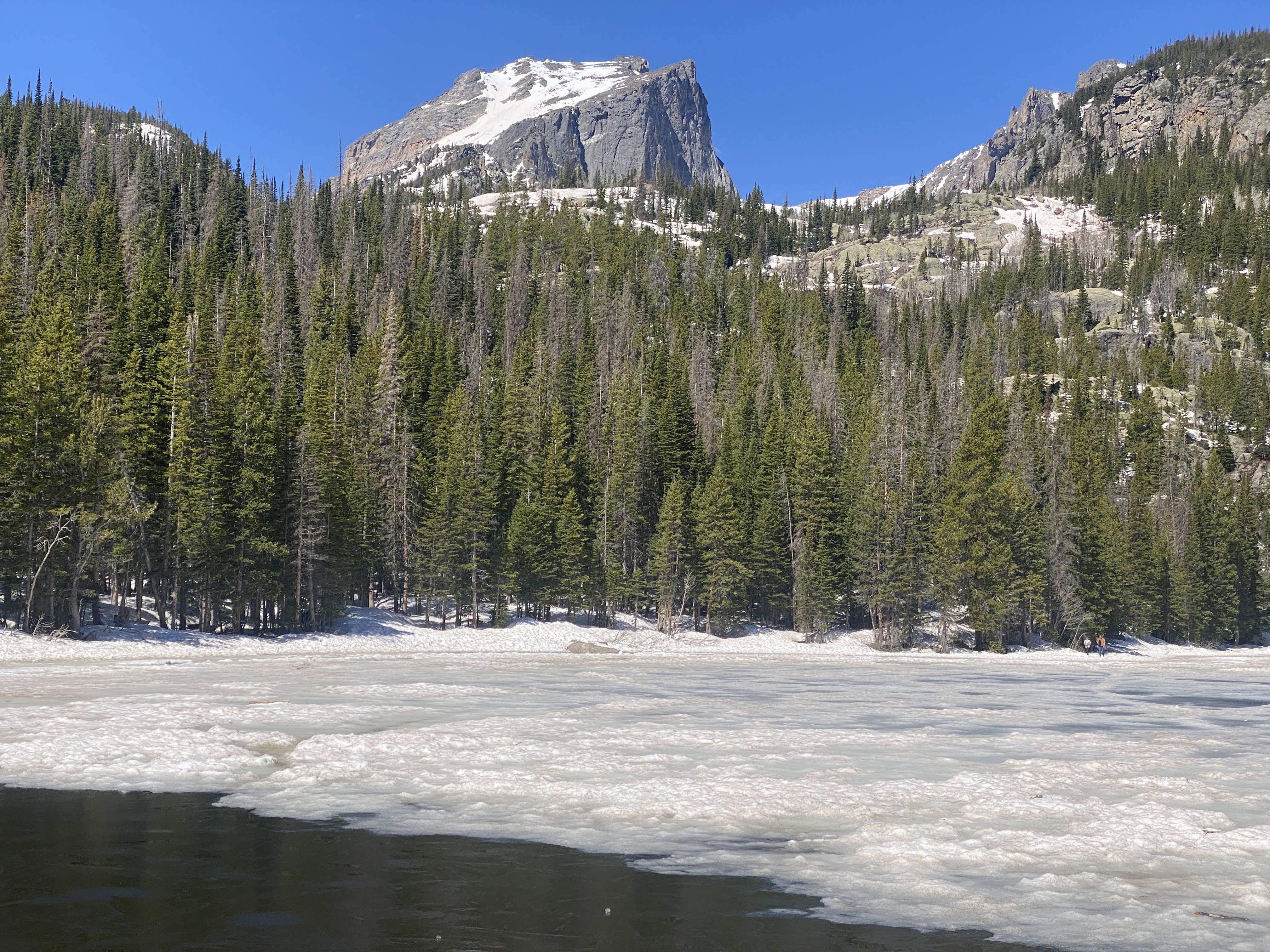
Once at Bear Lake we had friends take our picture… While the temperatures were in the mid-60s, the wind was freezing…

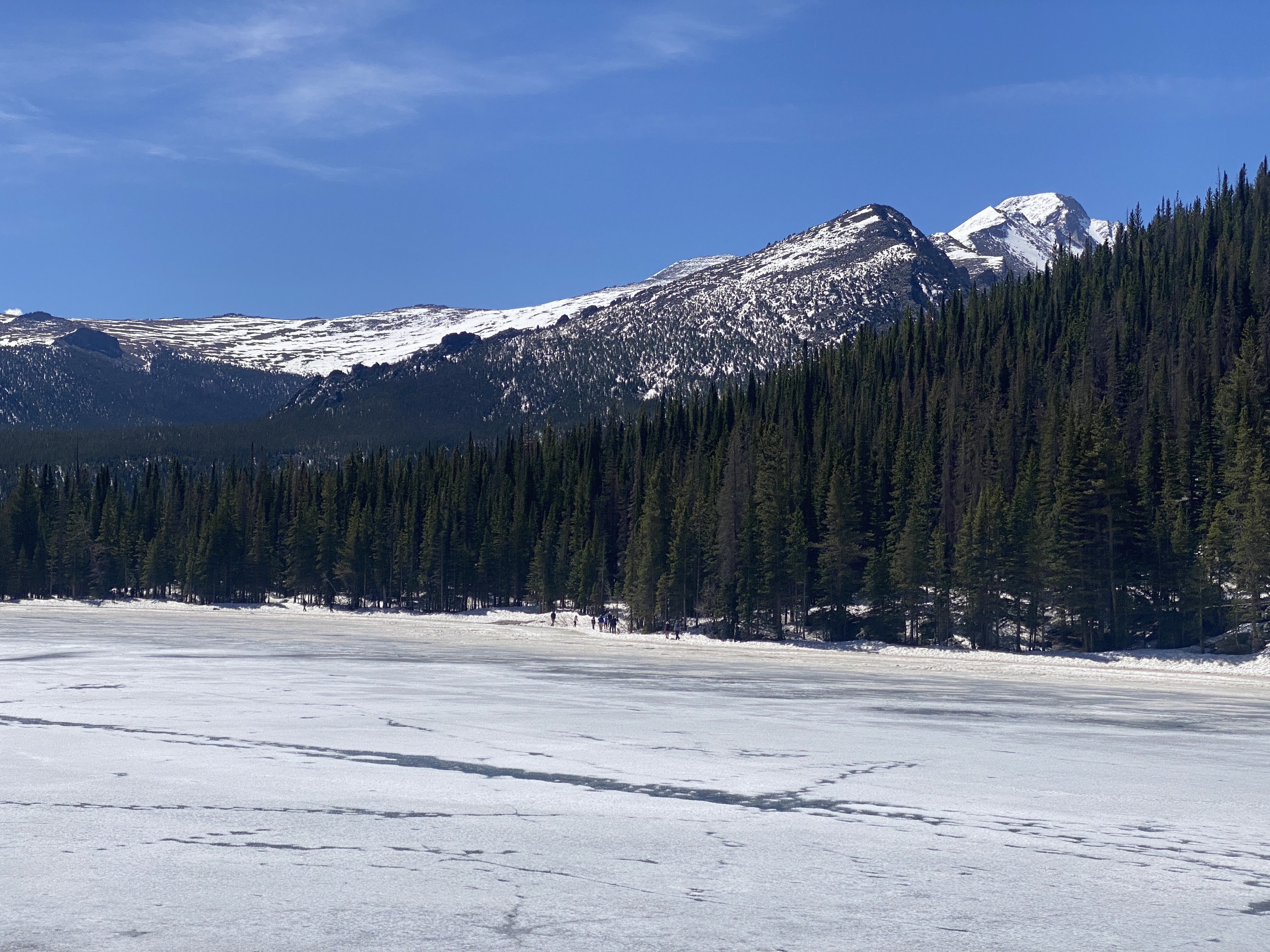
The lake is mostly frozen over. The path around the lake is mostly snow, slush, and ice, with rare patches of dirt, mud, and rocks.

This is what the path looked like most of the way around the lake:

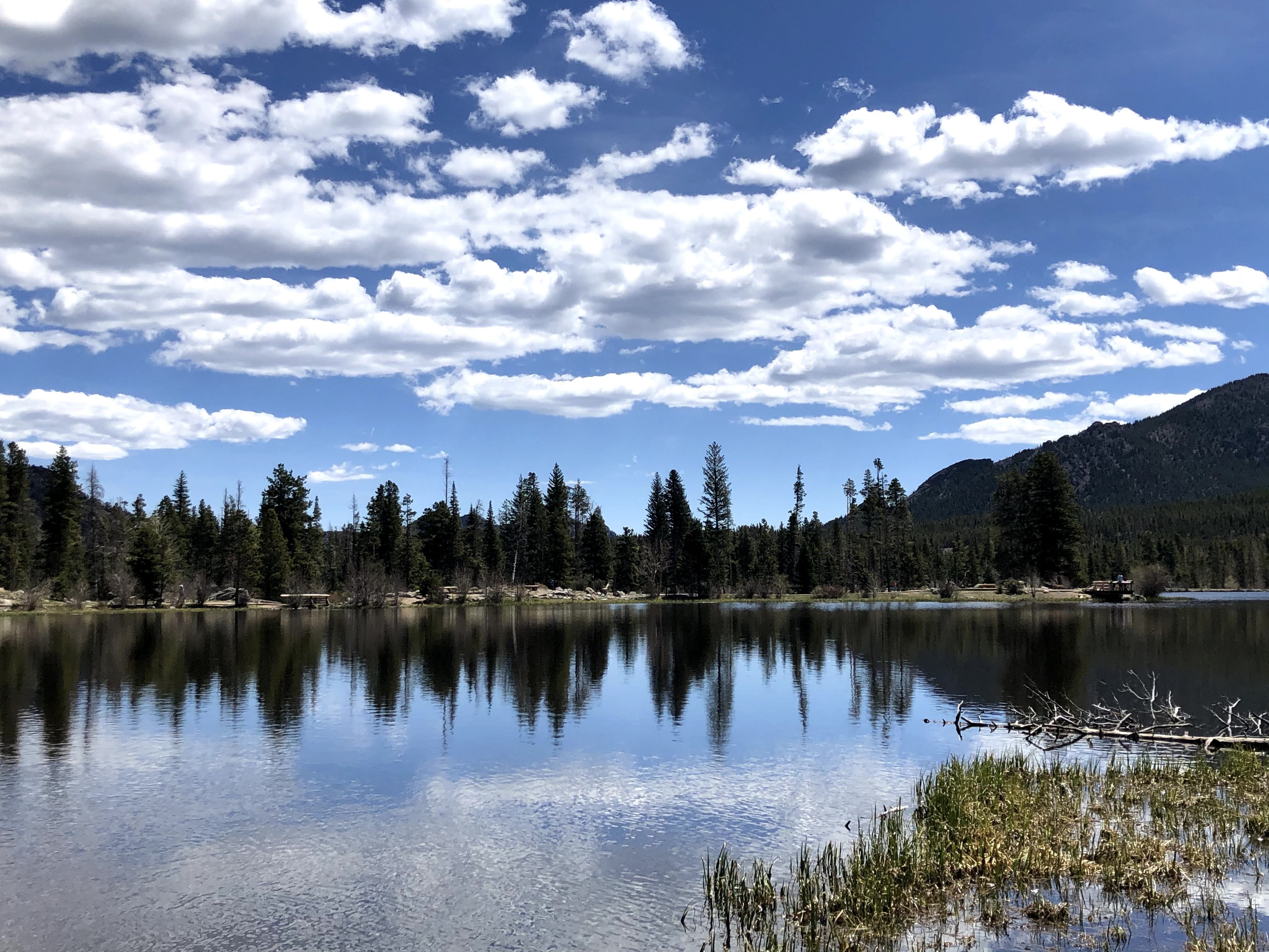
After completing the Bear Lake loop we drove a short way to Sprague Lake; this is Glacier Creek, which feeds into the lake.:

Spraugue Lake is named after Abner Sprague, one of the original settlers in the Estes Park area. Sprague built a homestead in Moraine Park in 1874 that eventually grew into a hunting and fishing lodge and dude ranch. He dammed the creek to create the lake so his guests could enjoy fishing and boating. The lodge operated from 1910 to 1940, preceding the actual National Park.

We enjoyed watching the ducks dive for food…

The lake offered great views all around. It was an easy 3/4 mile, with no ice and snow underfoot…

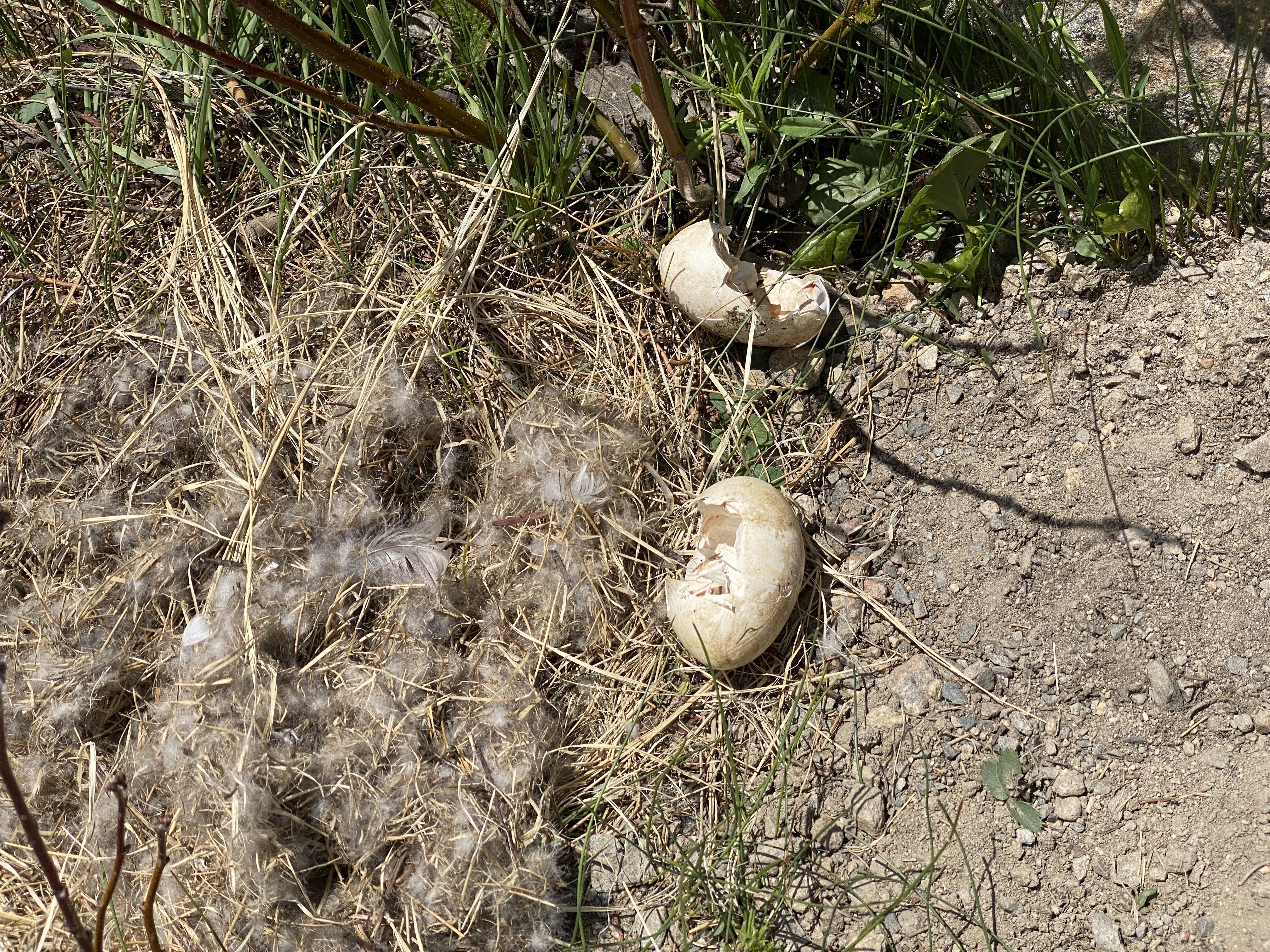
We don’t know what animal hatched out of these eggs… Maybe Elk? Moose?

After our time in the Park it was time for lunch! Bird and Jim’s serves “Colorado Cuisine”. Local ingredients, and creative recipes. We enjoyed a Smoked Pheasant Chowder and Short Rib Sliders…

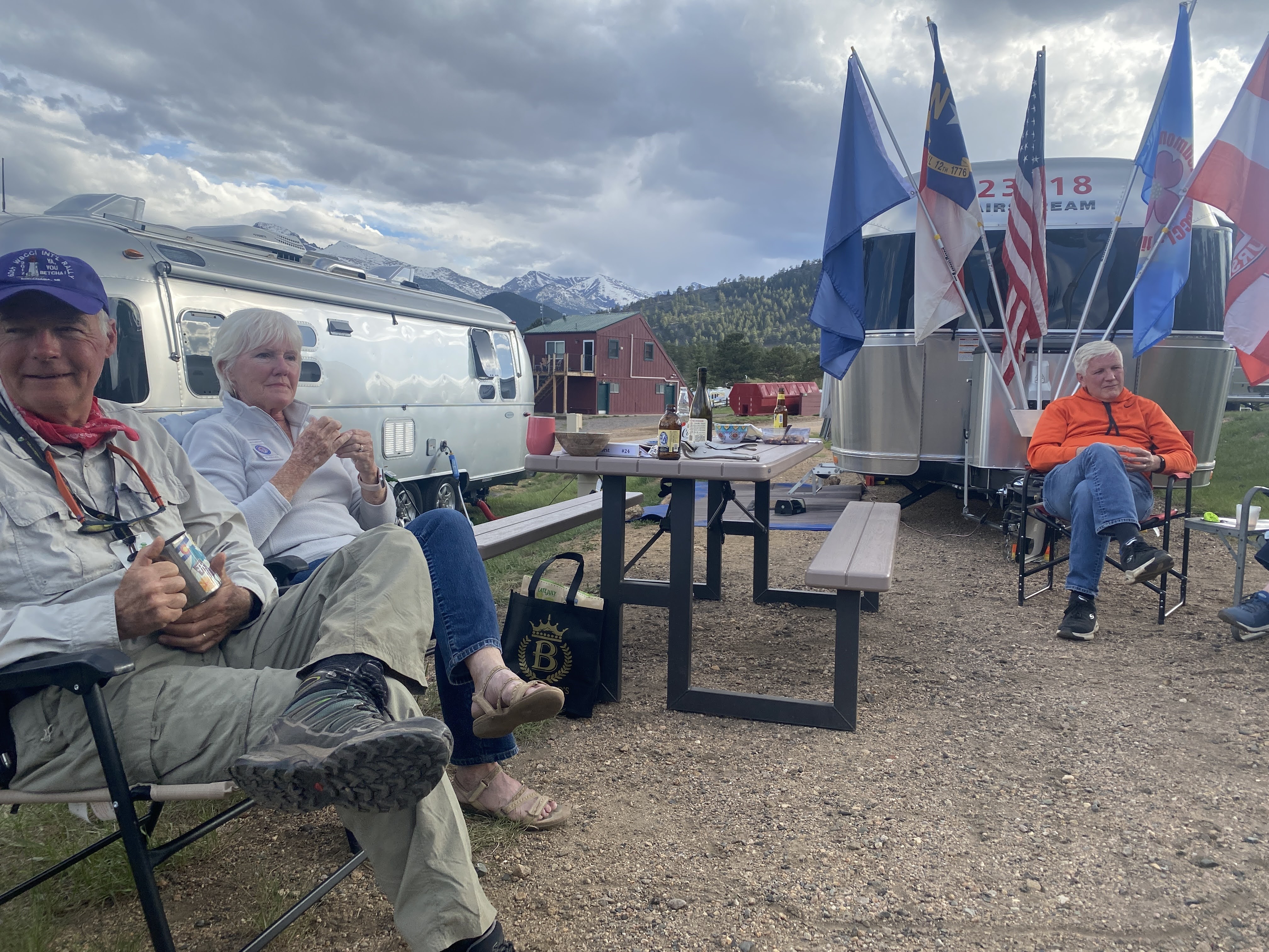
After lunch came a nap; then we had our first GAM – a “Get Acquainted Meeting”. We will have five of these, giving us all an opportunity to get to know each other even better…

After the GAM we walked around the pond, and returned to the Villa.

And an enjoyable time was had by all…

2021-05-24 – Springtime in the Rockies caravan…Traveling to Fillmore, Utah

So this is what you see when you head north on the 15 out of Las Vegas… We left a little before 9:00 am, fueled up at the Loves truck stop, and hit the road. We will stay on the 15 for 270 miles today…

After an hour or so we entered Arizona. We were in Arizona for less than an hour, making a diagonal across a corner of the Arizona Strip. We had learned about the Arizona Strip in 2018 while we were on the Southwest Adventure caravan. The Arizona Strip is the part of Arizona lying north of the Colorado River and the Grand Canyon. The difficulty of crossing the Grand Canyon causes this region to have more physical and cultural connections with southern Utah and Nevada than with the rest of Arizona. It really ought to be part of Utah. It covers almost 8,000 square miles, and it is virtually uninhabited, with absolutely no cellular service. If you want to drive some of the few wilderness roads you are advised to bring a tent, firewood, and food and water for 3 days. If you breakdown, you won’t be found for 3 days…

And then we were in Utah. One of the few cities in southern Utah is St. George. We stopped for lunch at a “Culvers”, a first for us… We were able to stretch our legs and have a nice break… Parking was a little rough…

After lunch we continued north and northeast…

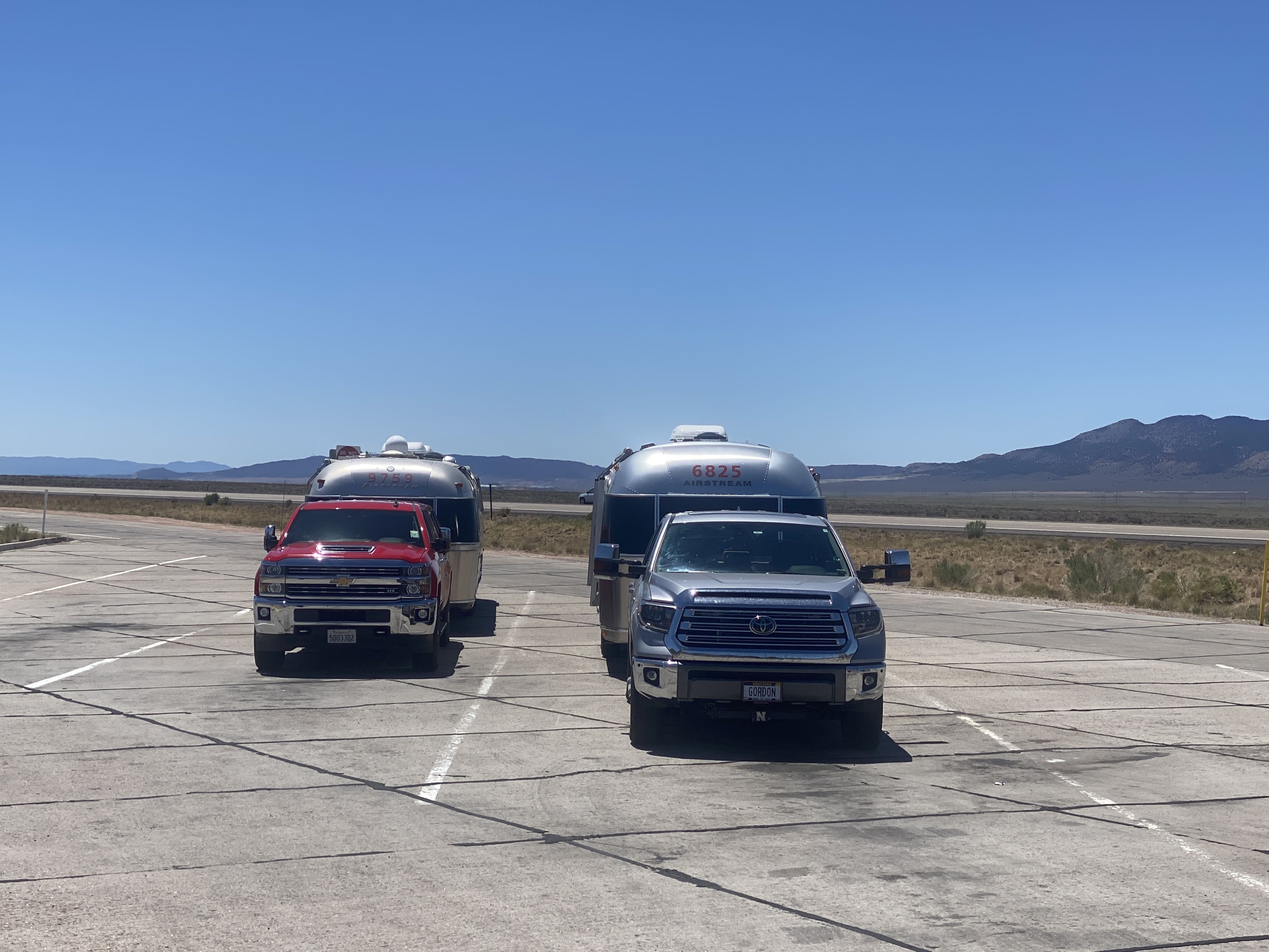
We are traveling with fellow Airstreamers and fellow Caravaners from Nebraska, Gordon and Debbie Opp. Today was their turn to lead… We are driving through these small hills on the valley floor. The topography is constantly changing, from meadows and grass to hills and rocks…

Here’s a new sight for us:

We actually saw a sign warning of a curve ahead, saying, “Slow 70″…

Best part is that there is no special 55 MPH limit for vehicles towing trailers! We stopped for a mid-afternoon leg stretch at a rest stop…

We arrived in the outskirts of Fillmore, and easily found the KOA. Beautiful, quiet park, lovely trees; it is is surrounded by grassy meadows overlooking the surrounding hills…

Along with us and the Opps, there was another Airstream in the park, but we were unable to meet them.

We enjoyed happy hours (with my signature Old Fashioneds) and a nice dinner of chicken Caesar salad…

But we are continuing on tomorrow, and we just realized that Utah is in Mountain Time Zone! We lost an hour somewhere along the road. So we turned in early. And an enjoyable time was had by all…

2018-09-25 – WBCCI 2018 Southwest Adventure Caravan – Day 38 – Glen Canyon National Recreation Area

img_8675

Another busy day on the caravan…

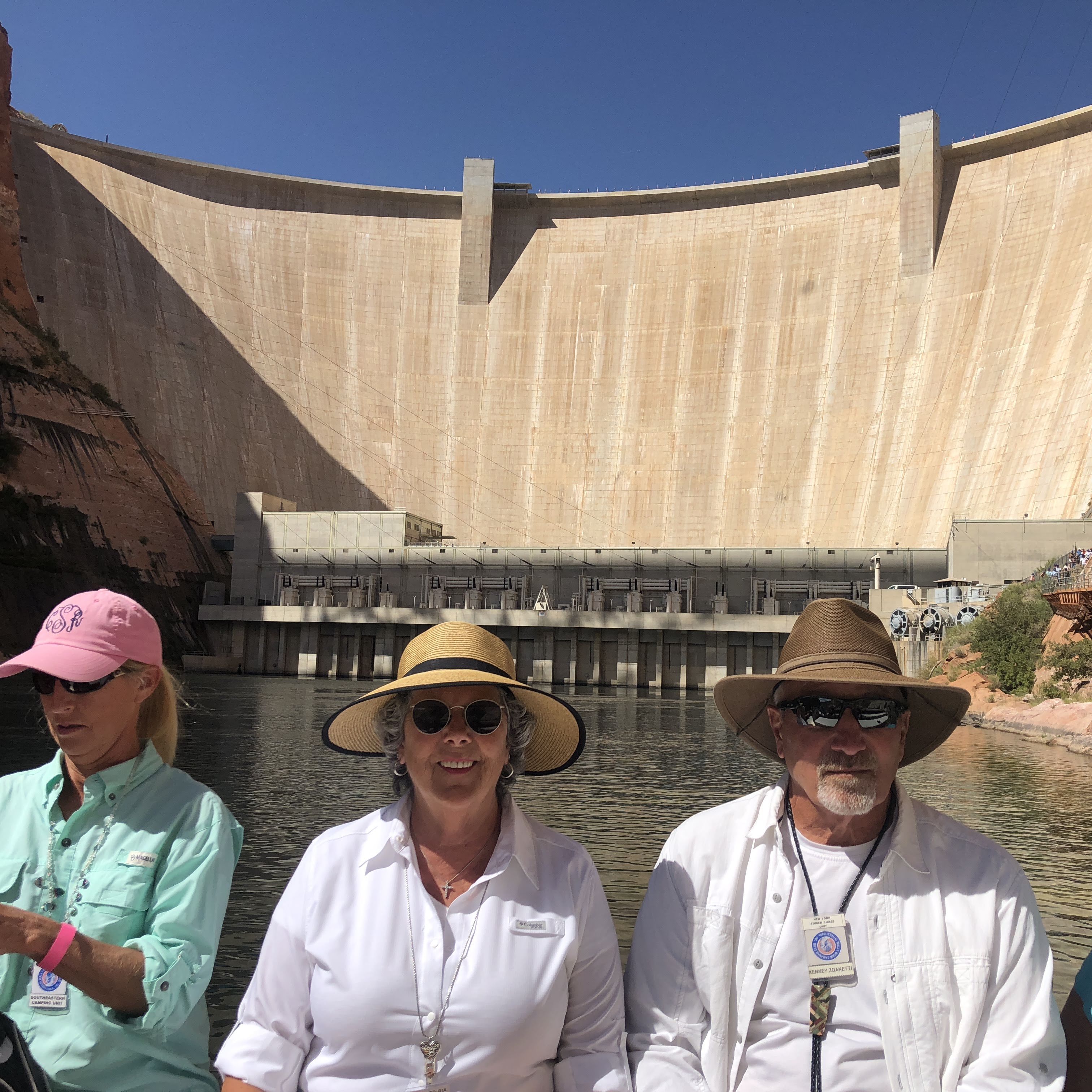
We began with a tour of the Glen Canyon Dam…

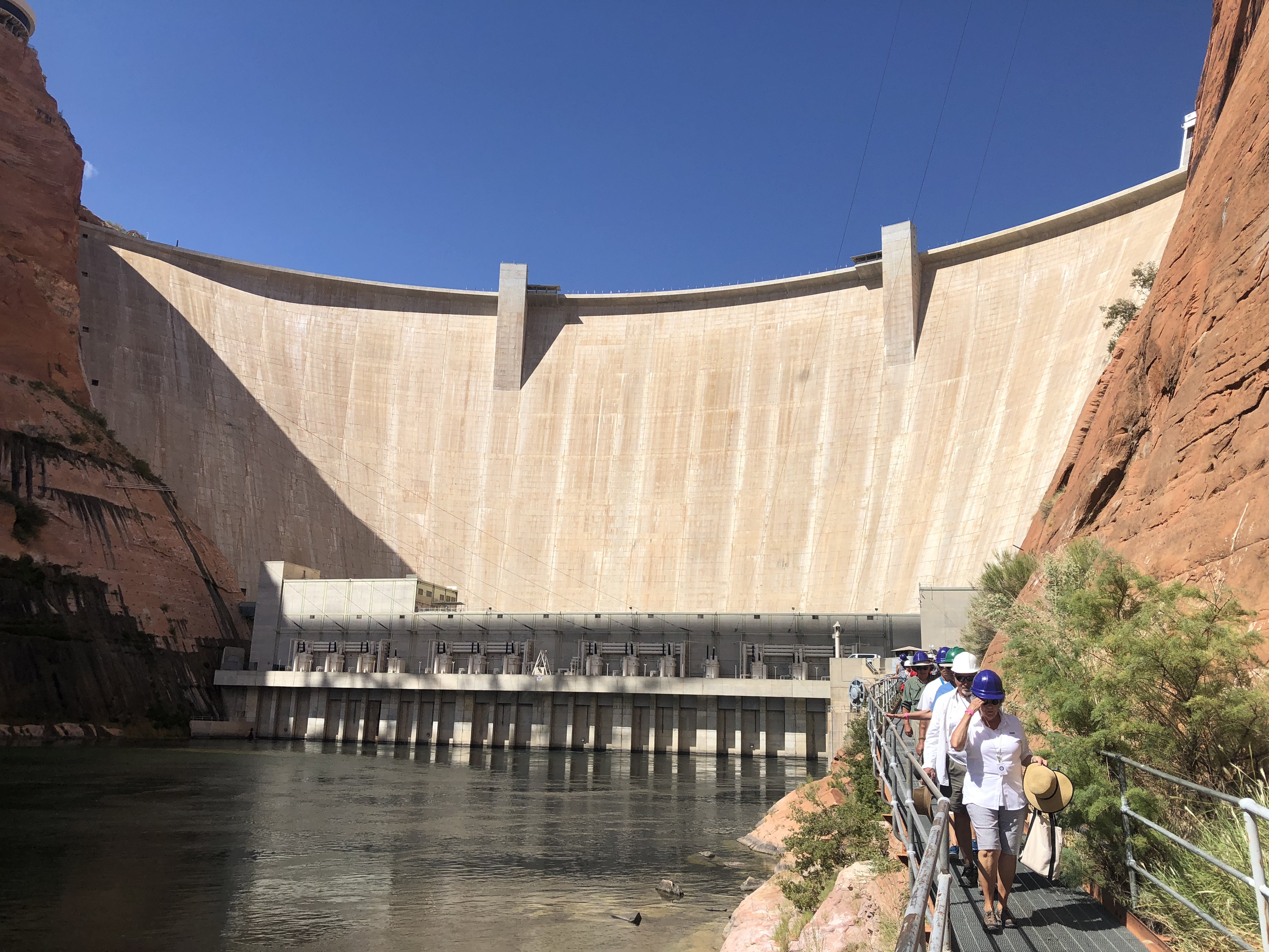
Glen Canyon Dam is a concrete arch-gravity dam on the Colorado River, near the town of Page.  The 710-foot high dam was built by the U.S. Bureau of Reclamation (USBR) from 1956 to 1966 and forms Lake Powell, one of the largest man-made reservoirs in the U.S. with a capacity of 27 million acre feet.  The dam is named for Glen Canyon, a series of deep sandstone gorges now flooded by the reservoir; Lake Powell is named for John Wesley Powell, who in 1869 led the first expedition to traverse the Colorado’s Grand Canyon by boat.  You will remember that we saw the Powell Museum in Green River, UT.

Because the dam site was in a remote, rugged area of the Colorado Plateau – more than 30 miles from the closest paved road, U.S. Route 89 – a new road had to be constructed, branching off from US 89 north of Flagstaff, Arizona, and running through the dam site to its terminus at Kanab, Utah.  Because of the isolated location, acquiring the land at the dam and reservoir sites was not particularly difficult, but there were a few disputes with ranchers and miners in the area (many of the Navajo Nation).  Much of the land acquired for the dam was through an exchange with the Navajo, in which the tribe ceded Manson Mesa south of the dam site for a similar-sized chunk of land near Aneth, Utah, which the Navajo had long coveted.  (Tomorrow we will meet descendants of the Navajo man named Manson.  Stay tuned…)

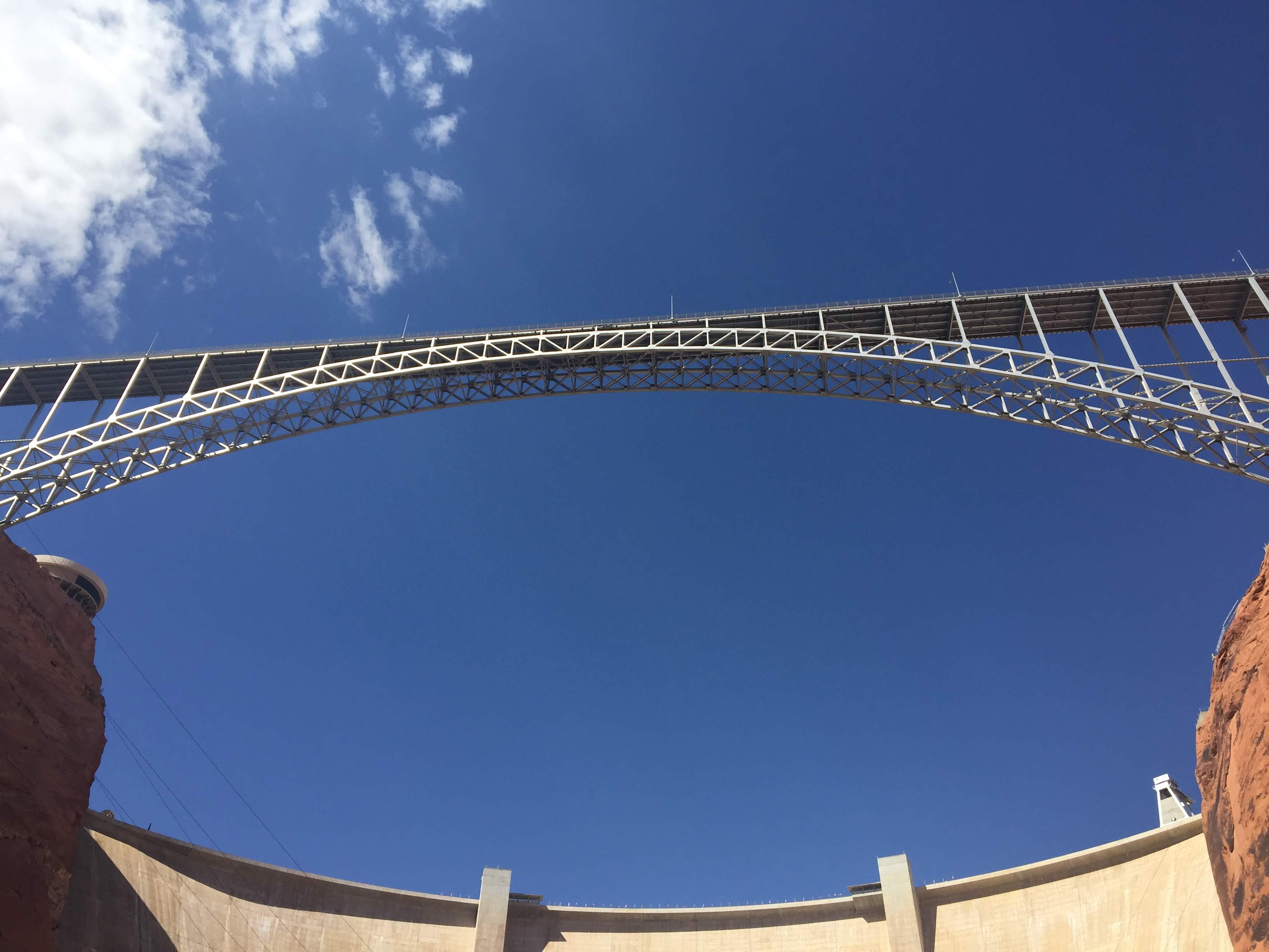
One of the first acts of construction was a suspension footbridge made of chicken wire and metal grates. At the time it was the only way to cross Glen Canyon.  Vehicles had to make a 225-mile journey in order to get from one side of the canyon to the other.  A road link was urgently needed in order to safely accommodate workers and heavy construction equipment.   A steel arch bridge was built; construction began in late 1956, reaching completion on August 11, 1957.  When finished, the steel arch Glen Canyon Bridge was itself a marvel of engineering: at 1,271 feet long and rising 700 feet above the river, it was the highest bridge of its kind in the United States and one of the highest in the world.  The bridge soon became a major tourist attraction.  The March 1959 issue of LIFE reported that “motorists [were] driving miles out of their way just to be thrilled by its dizzying height.”

During the construction of the Glen Canyon Bridge, the USBR also began planning a company town to house the workers.  This resulted in the town of Page, Arizona, named for former Reclamation Commissioner John C. Page.  By 1959, Page had a host of temporary buildings, electricity, and a small school serving workers’ children.  As the city grew, it gathered additional features, including numerous stores, a hospital, and even a jeweler. 

Prior to and during construction, three separate grants were issued by the National Park Service to document and recover artifacts of historical cultures along the river. These went to University of Utah historian C. Gregory Crampton and anthropologist Jesse Jennings, and to the Museum of Northern Arizona.  Crampton subsequently wrote several books and articles on his findings.

We walked atop the dam, viewing the bridge above and the river below…

img_8495

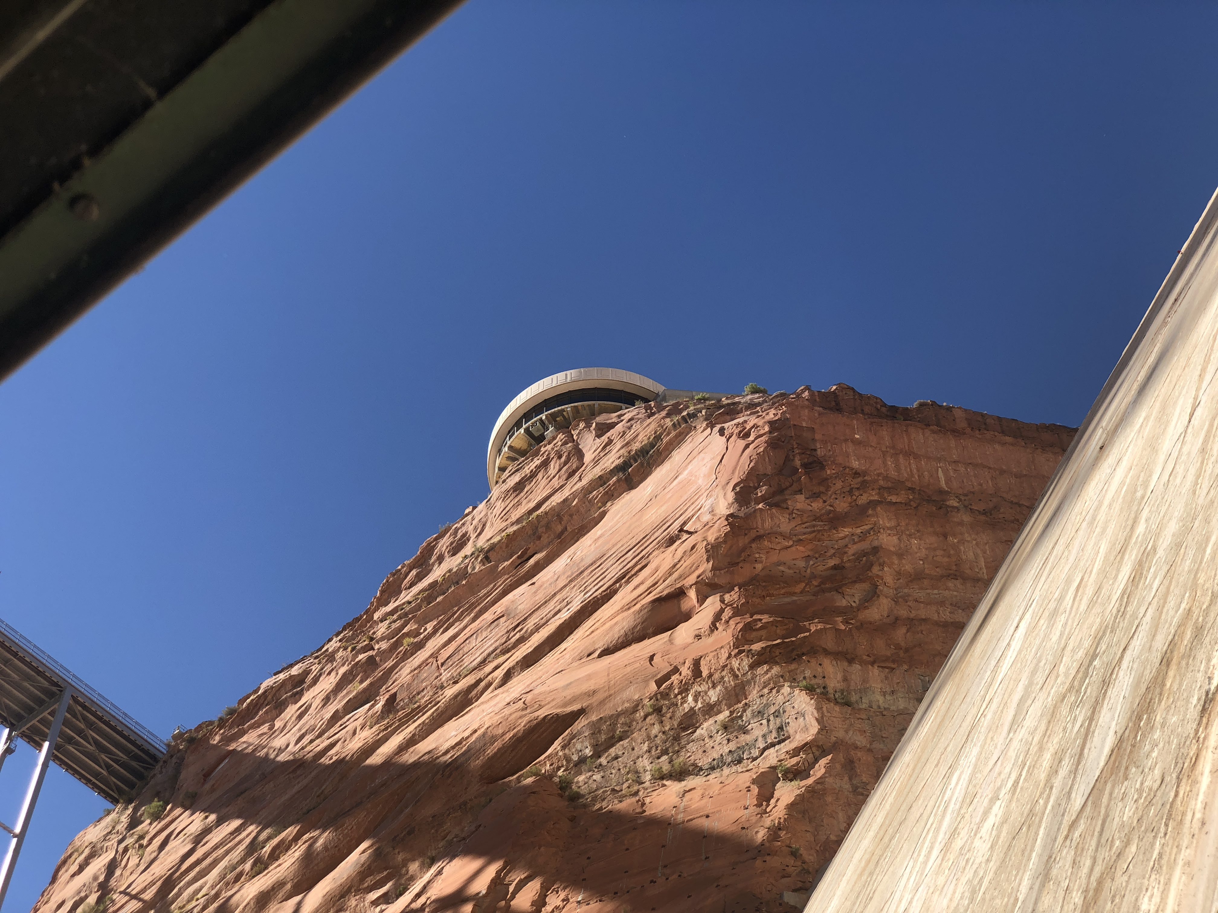
The visitors center perches atop the canyon rim above the dam…

img_8496

Lake Powell behind the dam…

img_5781img_8506

As the giant pipes carry water from the lake to the power plant at the bottom of the dam, the water forms such a turbulent force that the pipes vibrate and shake and would destroy anything rigid that seeks to contain them… Therefore, they covered the pipes with gravel, sand, and finally grass that would give pride to any golf course…

img_8517

From the bottom of the dam we looked up to see the visitors center…
img_8520img_8525

This is the water that seeps through the concrete that makes up the dam – about 1,600 gallons per minute…

img_8522

The power plant – 8 giant turbine generators providing electricity for the surrounding states…

img_8524

We can see Lake Powell stretching over 186 miles up-stream…

img_5803img_5804

Interesting facts:  See the tunnel entrance in the canyon walls beyond the power plant?

img_8526

The tunnel is two miles long and it extends from the power plant at the river to the rim of the canyon above.  It took two years to build, and it was necessary to get equipment to the dam foundations and to the power plant…

Stay tuned for more information… This afternoon we will travel through this tunnel…

It was an interesting tour, as all dam tours are…

We returned to the Villa in time to turn around and head out for our raft trip on the Colorado River.  We will be starting just below the dam and we will be going down the river about 16 miles to Lee Ferry.  This is a quiet stretch of the river.  Rapids in rivers such as the Colorado are rated from 1-10, with 10 being the biggest.  The “rapids” on this portion of the river are about .3!

We met at the Raft Tour office in Page.  After the Homeland Security check we boarded a bus (salvaged from LA Unified School District in 1959) to ride to the river.  Why a Homeland Security check?  We get to ride in our bus down the two mile long tunnel and park at the foot of the dam.  We were admonished not to take pictures in the tunnel, of the tunnel, or anywhere around the tunnel.  Nor were pictures allowed of the wharf at the foot of the dam.  The bus parked with its door directly adjacent to the ramp down to the dock.  We even had to wear hard hats!  Apparently people on the bridge overhead like to throw things off the bridge!  Who knew?  So we left the bus and boarded the rafts…

We were allowed to take pictures of the river and the bridge overhead…

img_8531img_8533img_8534img_5807

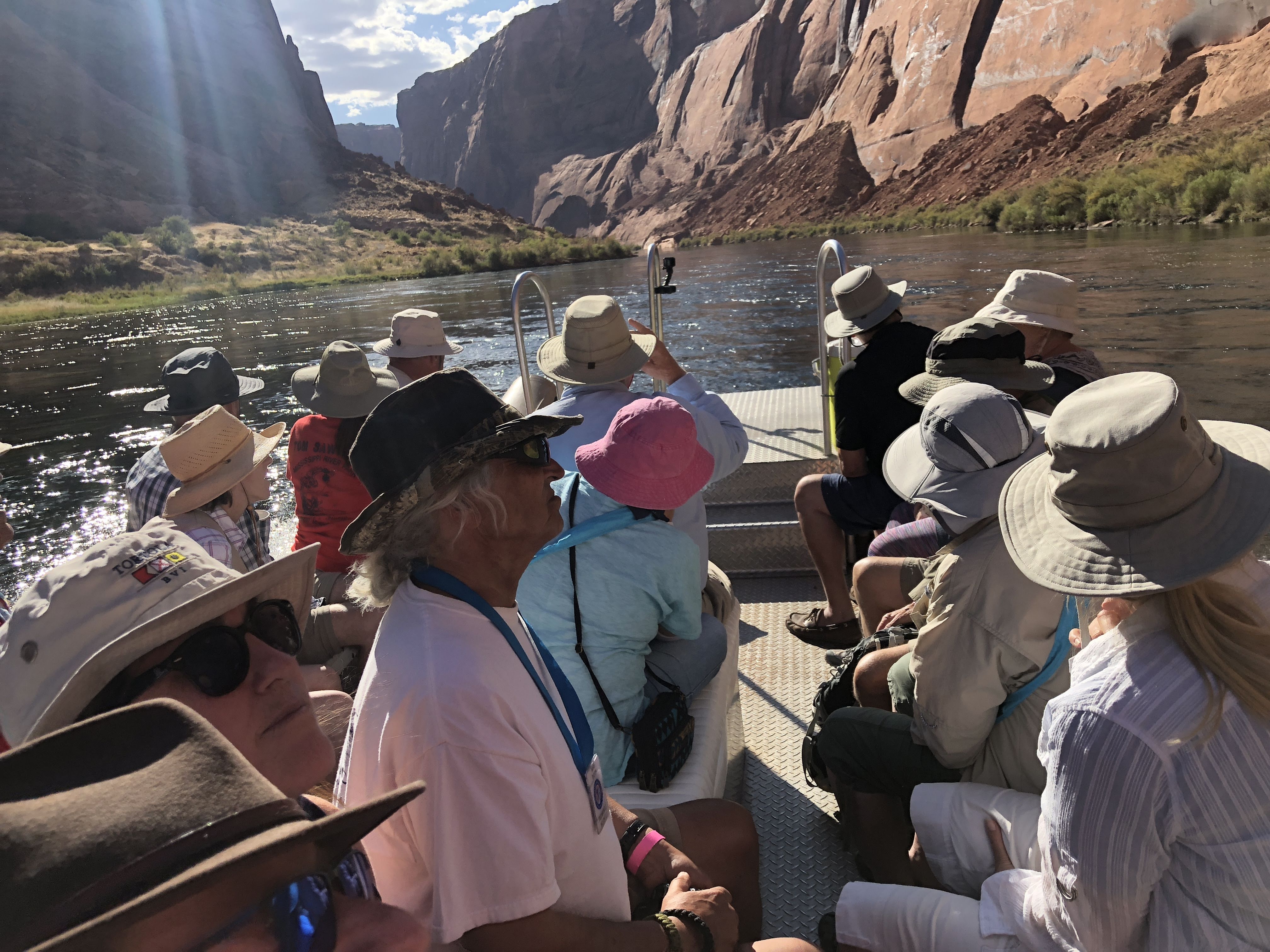
We boarded the rafts and away we went…
img_8537img_8542

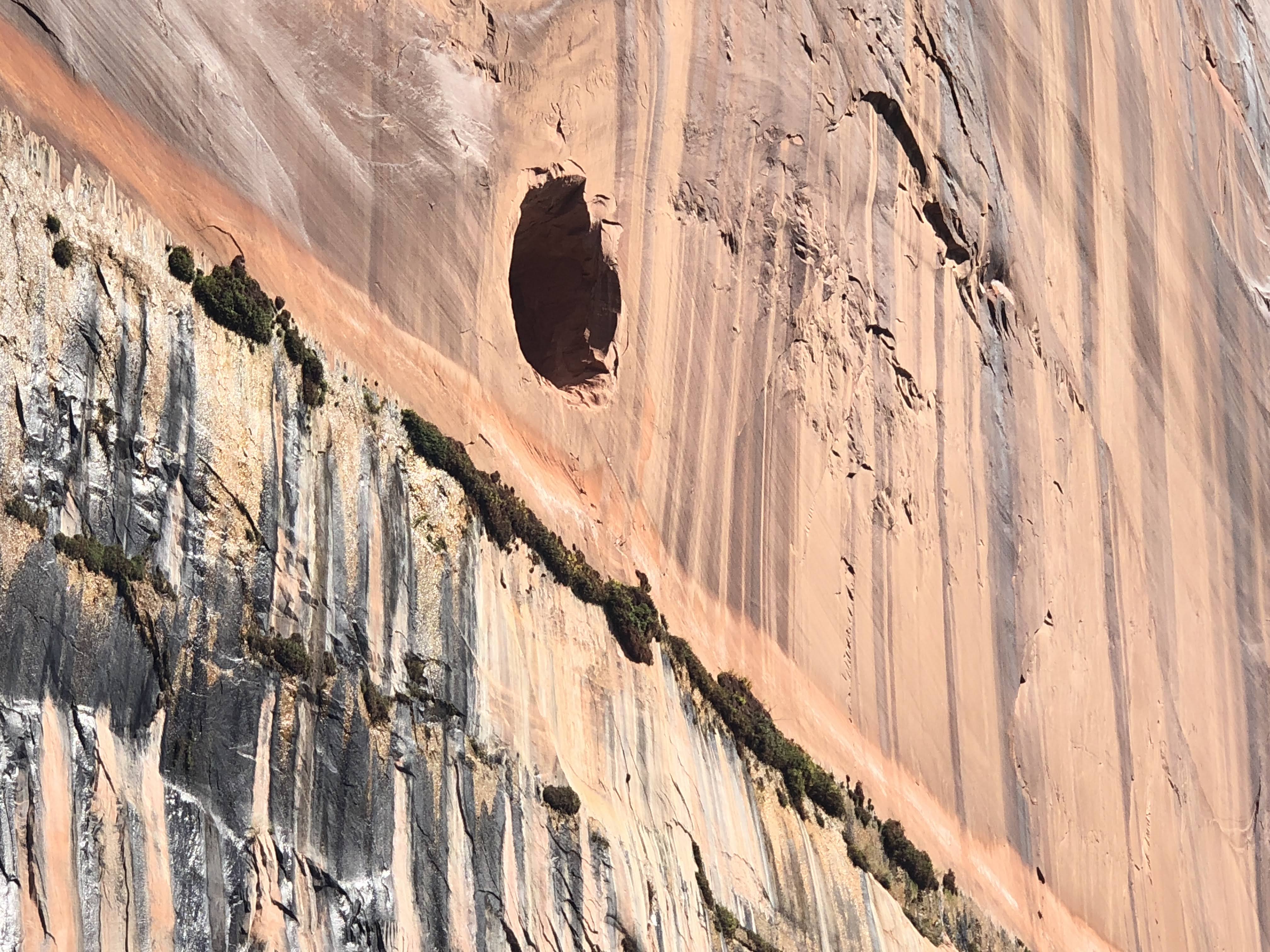
The first thing we noticed were these holes in the canyon walls… They are “windows” into the tunnel.  (about 15 feet diameter…) We could follow them along the two miles, as they rose up to the canyon rim… They used these holes for ventilation, and to push the debris out, where it fell to the river below…
img_8545

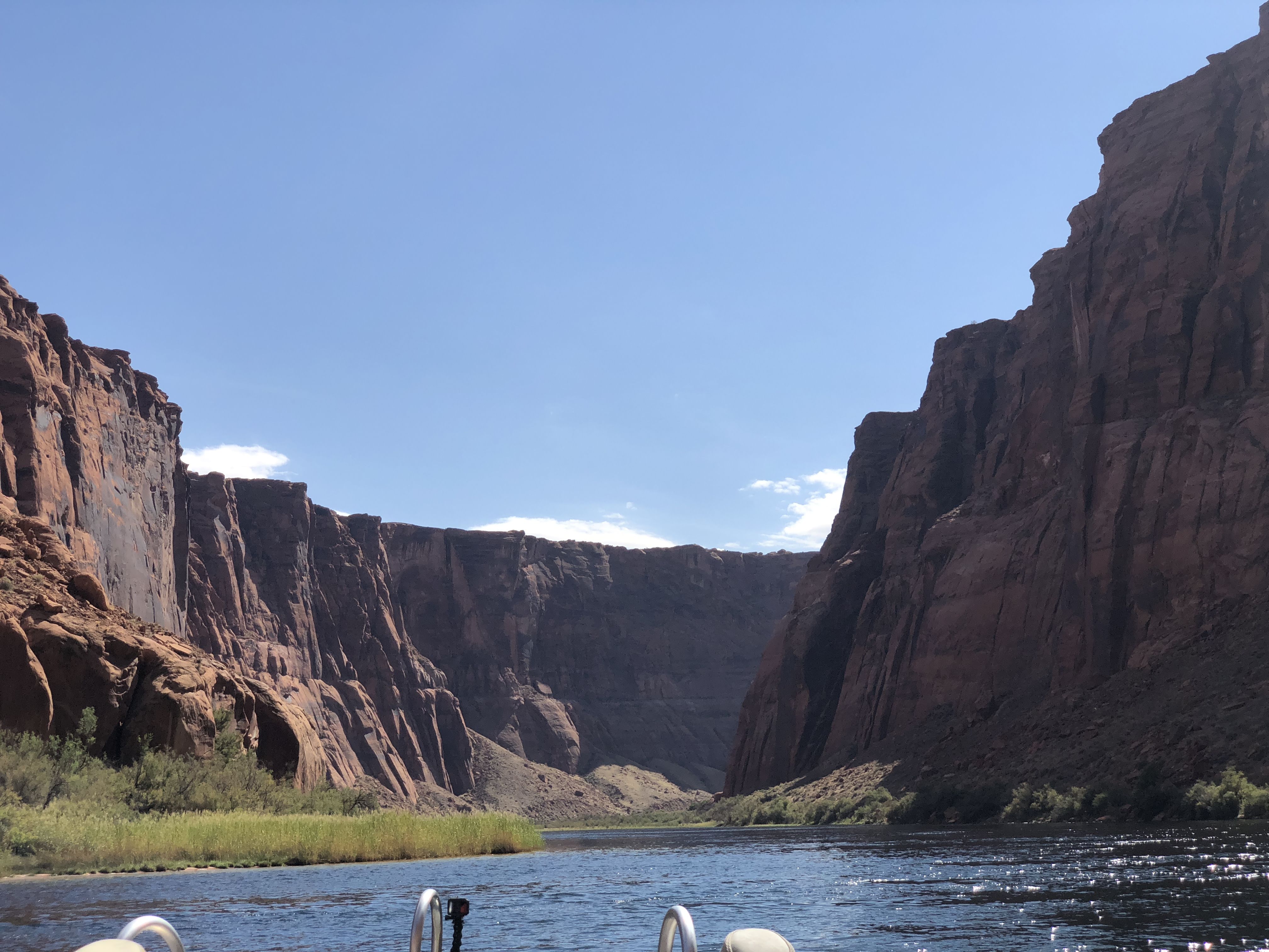
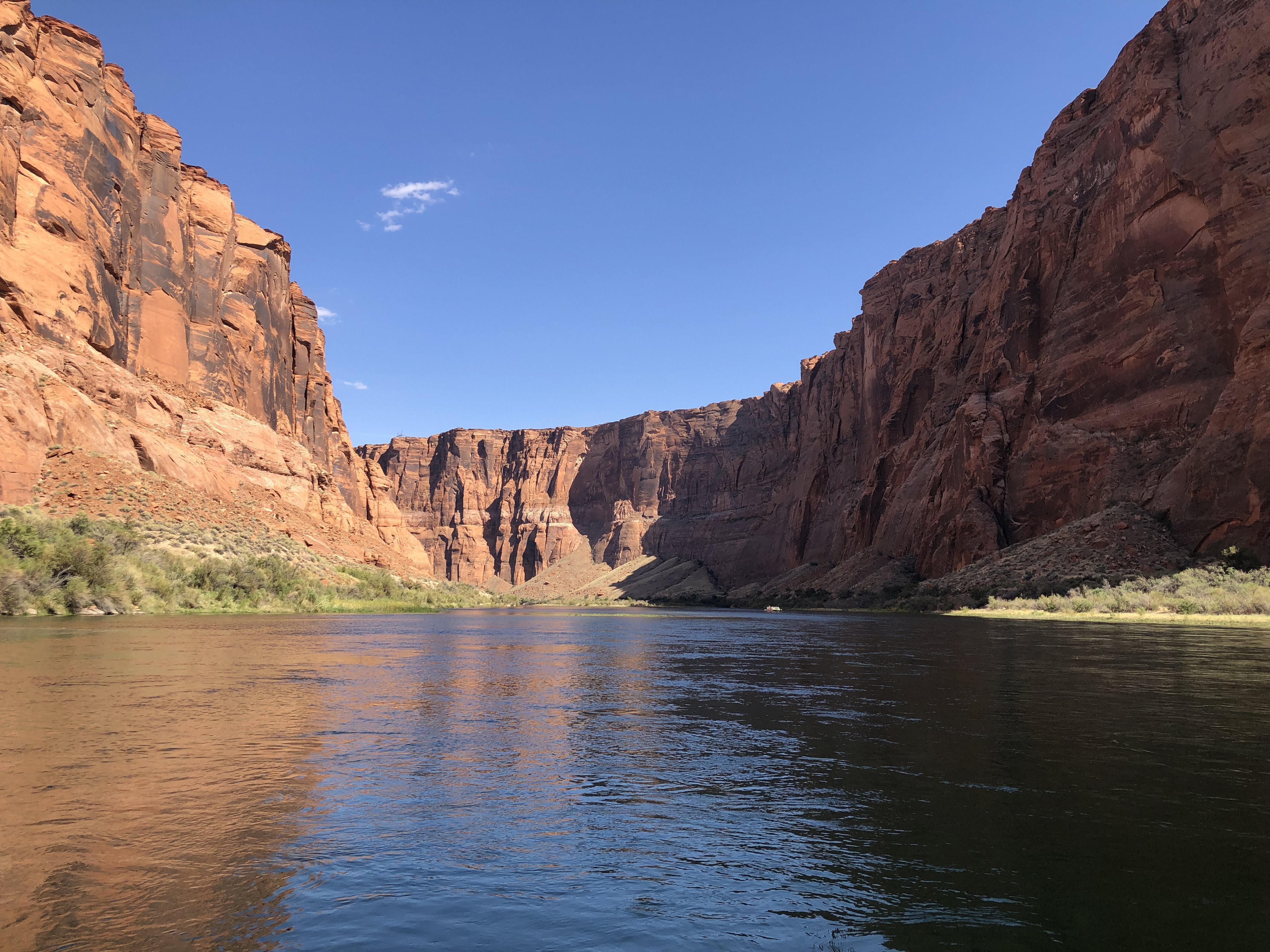
All along the river we had fabulous views of the canyon walls.  They extend up above the river to a height of about 500 feet at the dam to over 1,000 feet at Lee Ferry.  In contrast, the rim of the Grand Canyon is about one mile, over 5,000 feet, above the river… We took literally hundreds of pictures.  I’ll only show a few…

img_8550img_5813img_8560img_8570img_8564

The “rapids”…

img_8572img_8577img_8576img_8591

Camping is allowed along the river, at about 10-12 sites.  Obviously, you must boat or kayak in, and pitch a tent… Restrooms are provided…

img_8595

Rocks…

img_8601img_8605We stopped at one point to stretch our legs and hike up a short distance to see some petroglyphs…

img_5824img_5822img_5821

We re-boarded the rafts and continued on our way…
img_8638img_5826img_8634

Our pilot, guide, and expert on all things Navajo…

img_8640img_8655img_8656img_8659

There is a fault that runs across the river – these rocks are virtually identical, on opposite sides of the river…

img_8663img_8661img_8665img_8690img_8693img_8697img_8675img_8680img_8687

We arrived at the end of the trip… Our school bus was waiting to take us back to the offices in Page…  The end of our trip, Lee Ferry, is a departure point for 4-7 day white-water rafting trips through the Grand Canyon and beyond… It sounded like fun!

We returned to the Villa quite exhausted.  However, we did have enough energy to spend a few happy hours chatting with another Airstream couple from North Carolina.

And an enjoyable time was had by all…
2018-09-24 – WBCCI 2018 Southwest Adventure Caravan – Day 37 – Driving to Glen Canyon National Recreation Area

img_57751

We had an uneventful drive from Grand Canyon, back to Jacob Lake, and on towards Lake Powell, just outside Page, AZ.

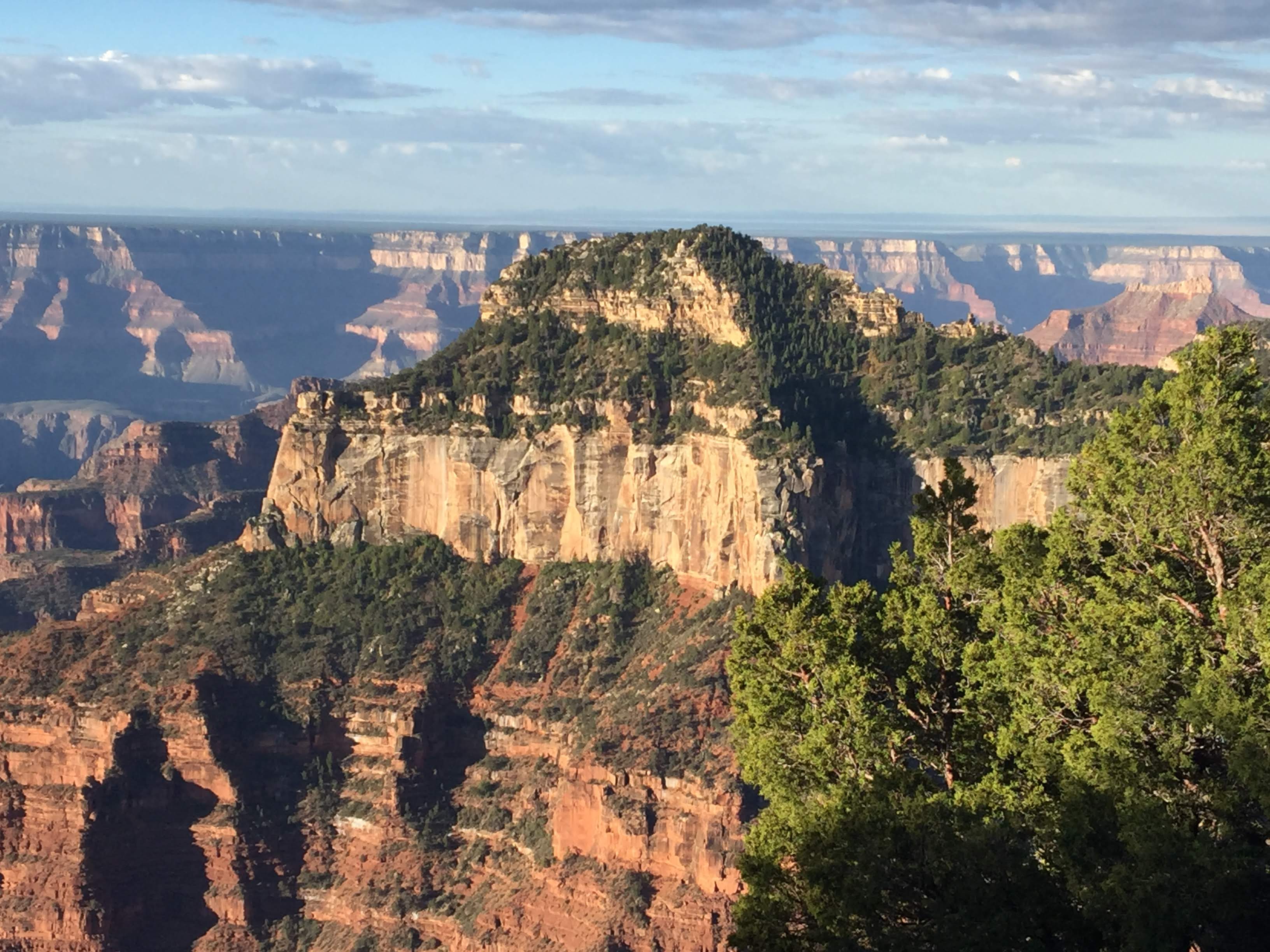
As we left the grand canyon National Park we had a few more glances of the canyon…

img_8461img_5703img_5704

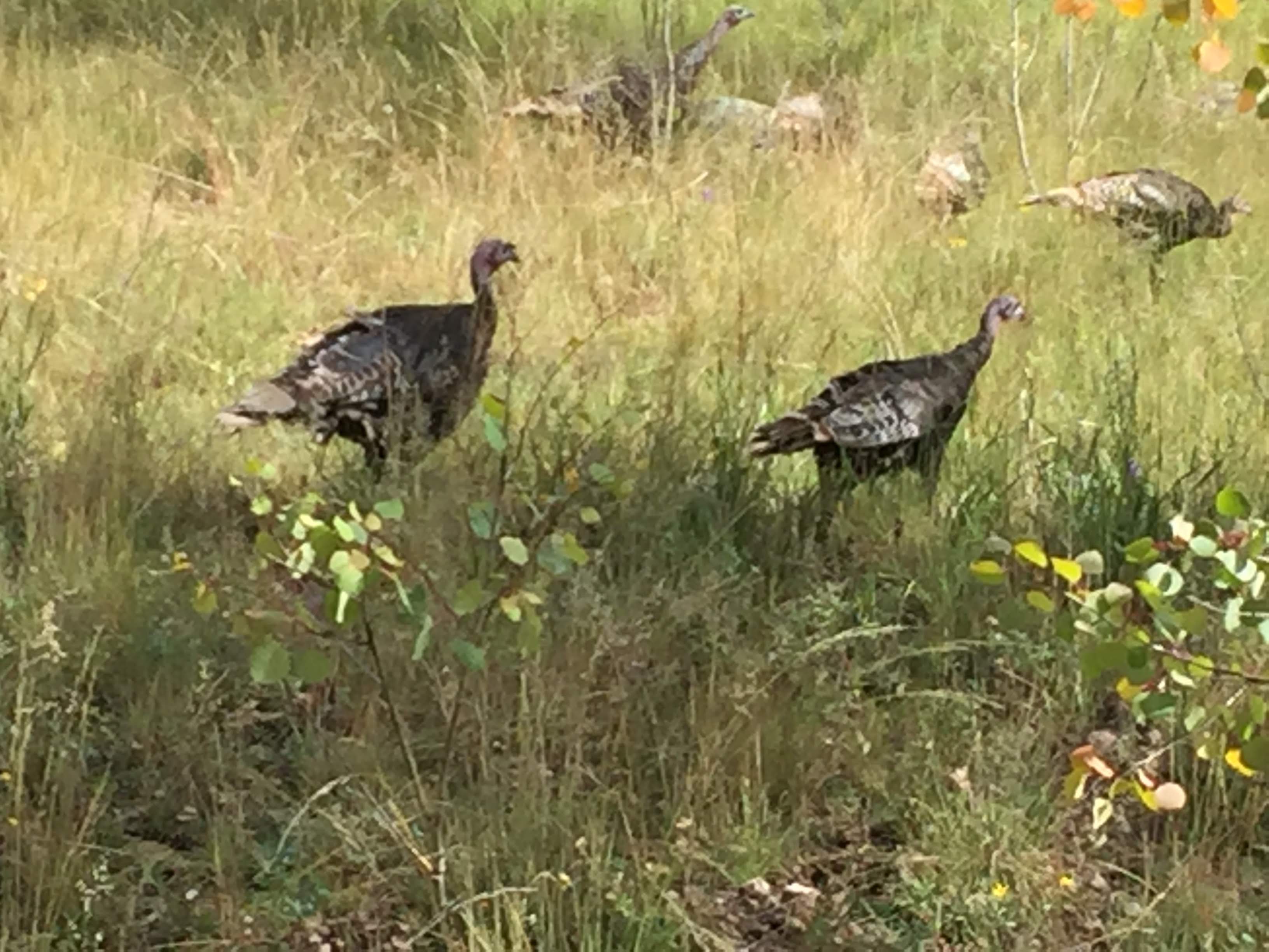
As we neared the exit to the park we saw some wild turkeys…

img_5715img_5716img_5718

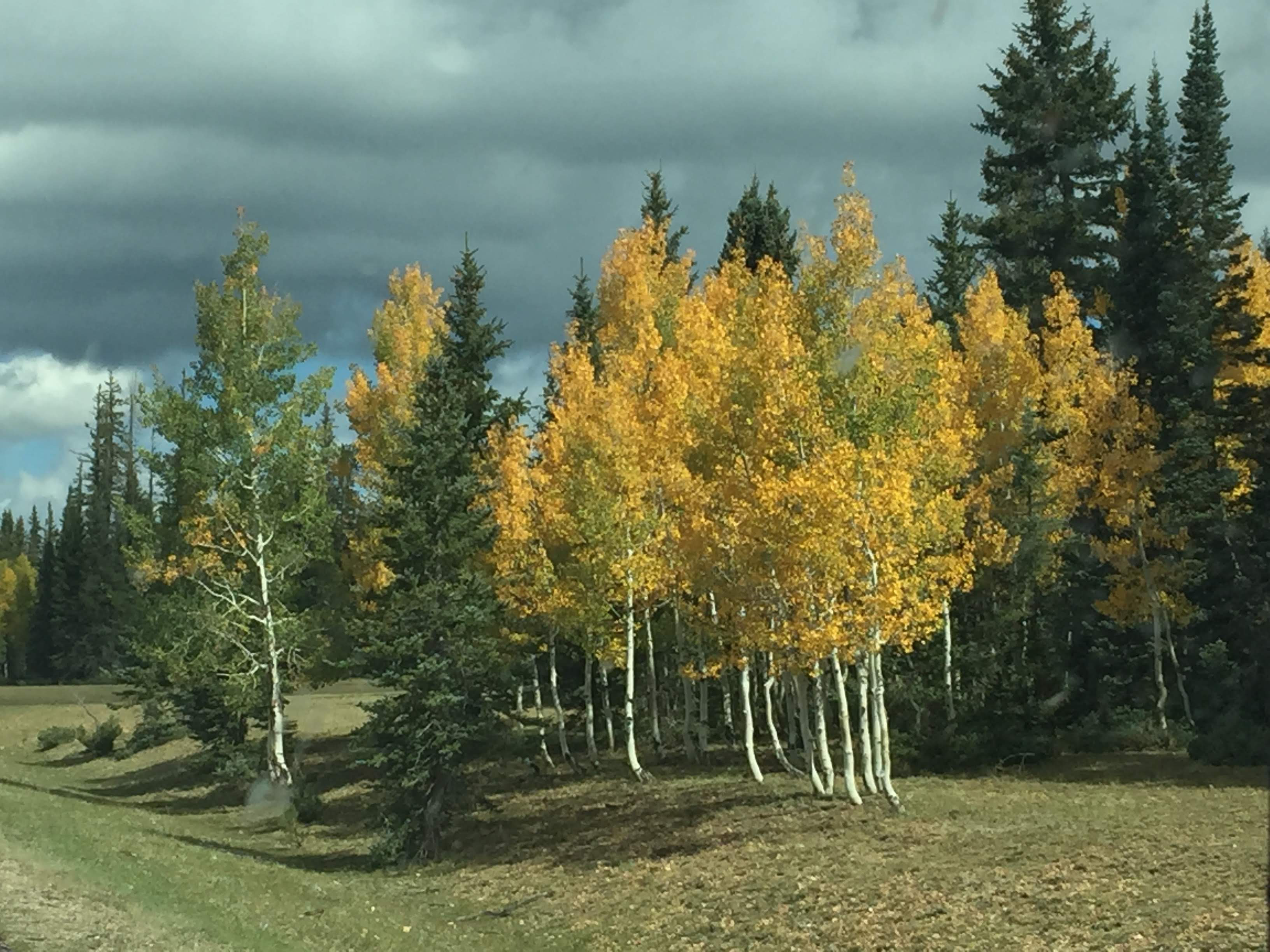
More Aspen showing their fall colors…

img_5724img_5710img_5726img_5731

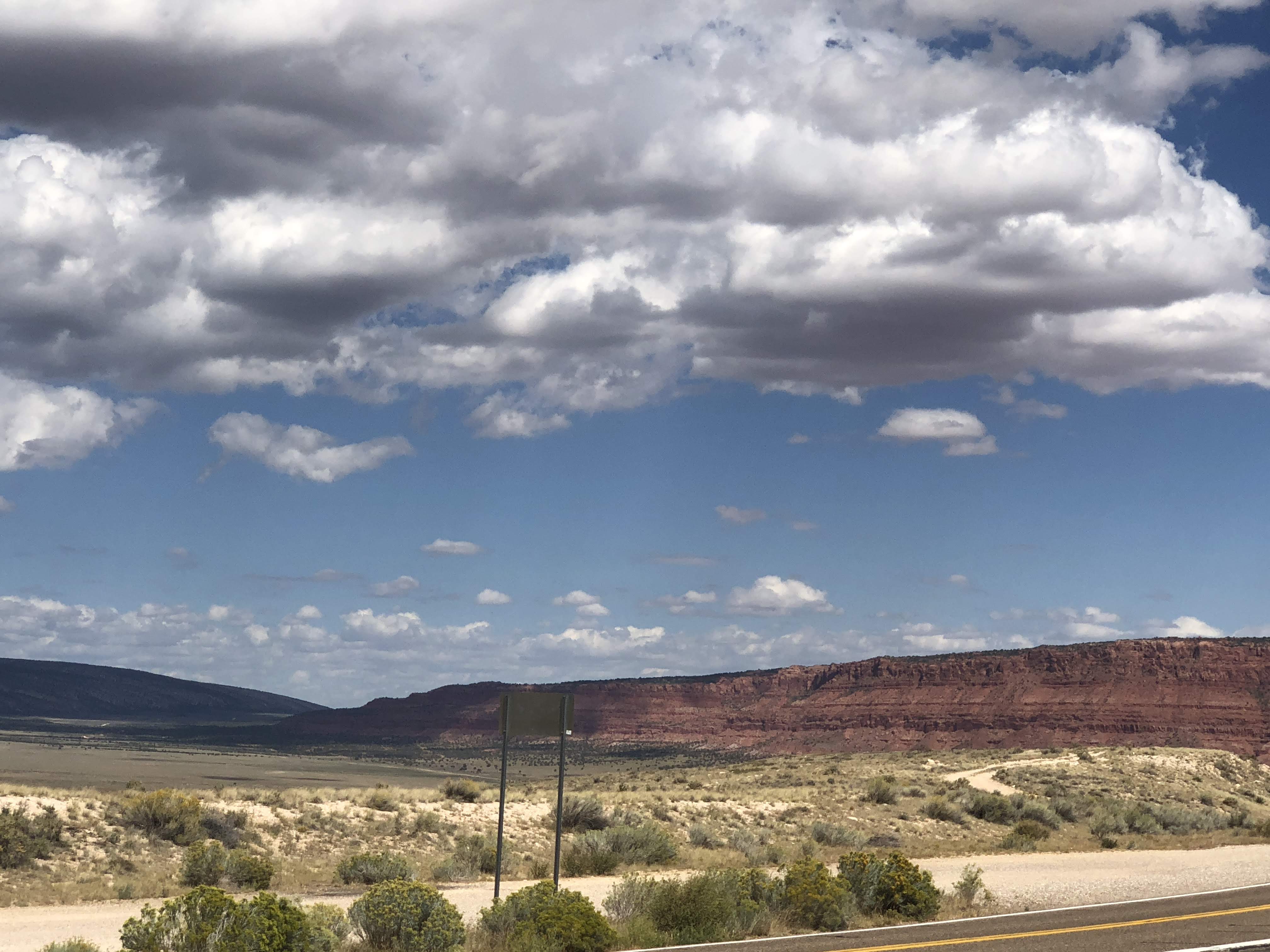
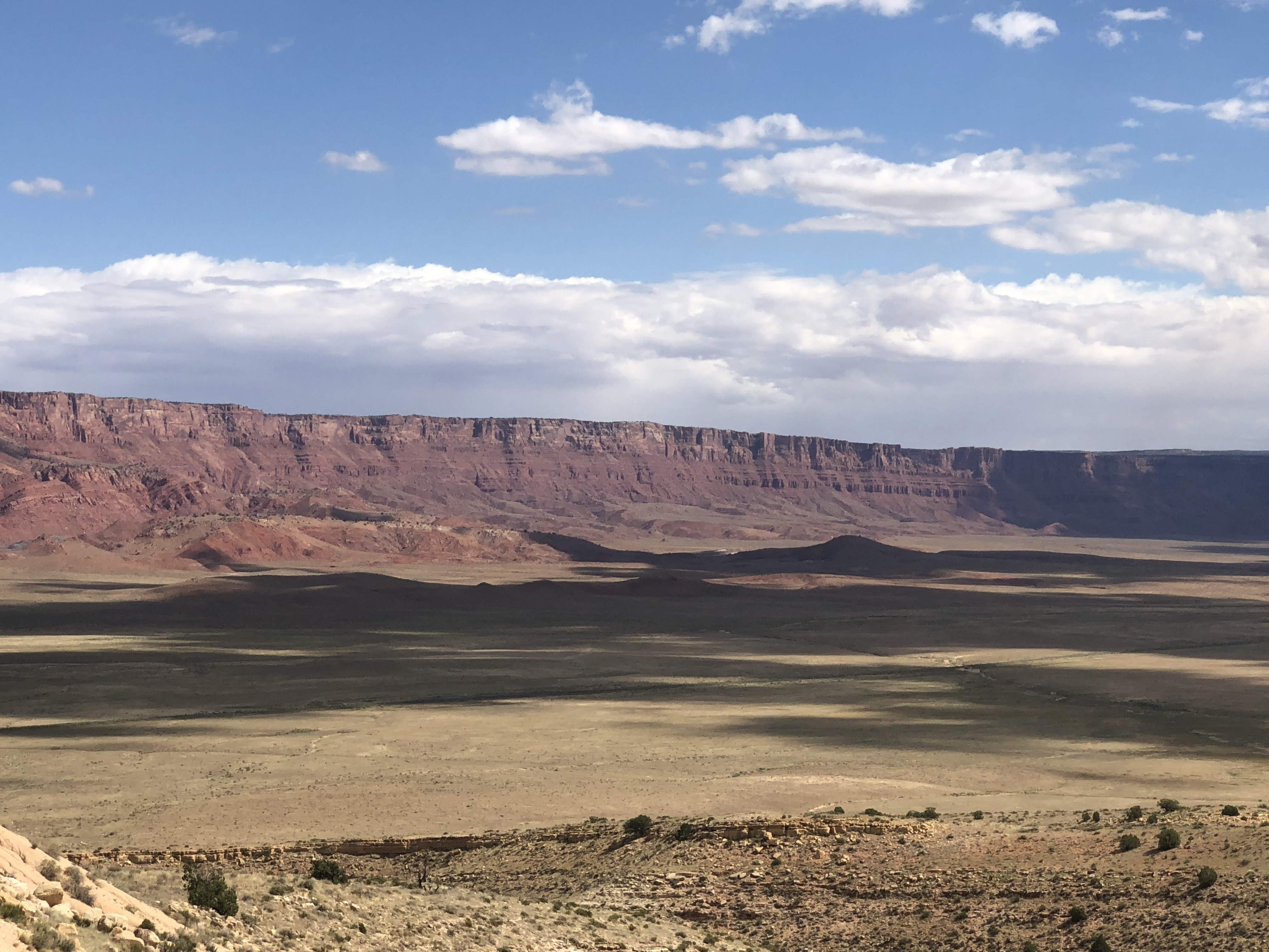
We were soon down in the valley, traveling towards Vermilion Cliffs National Monument…

img_8462img_8465img_5736img_8464

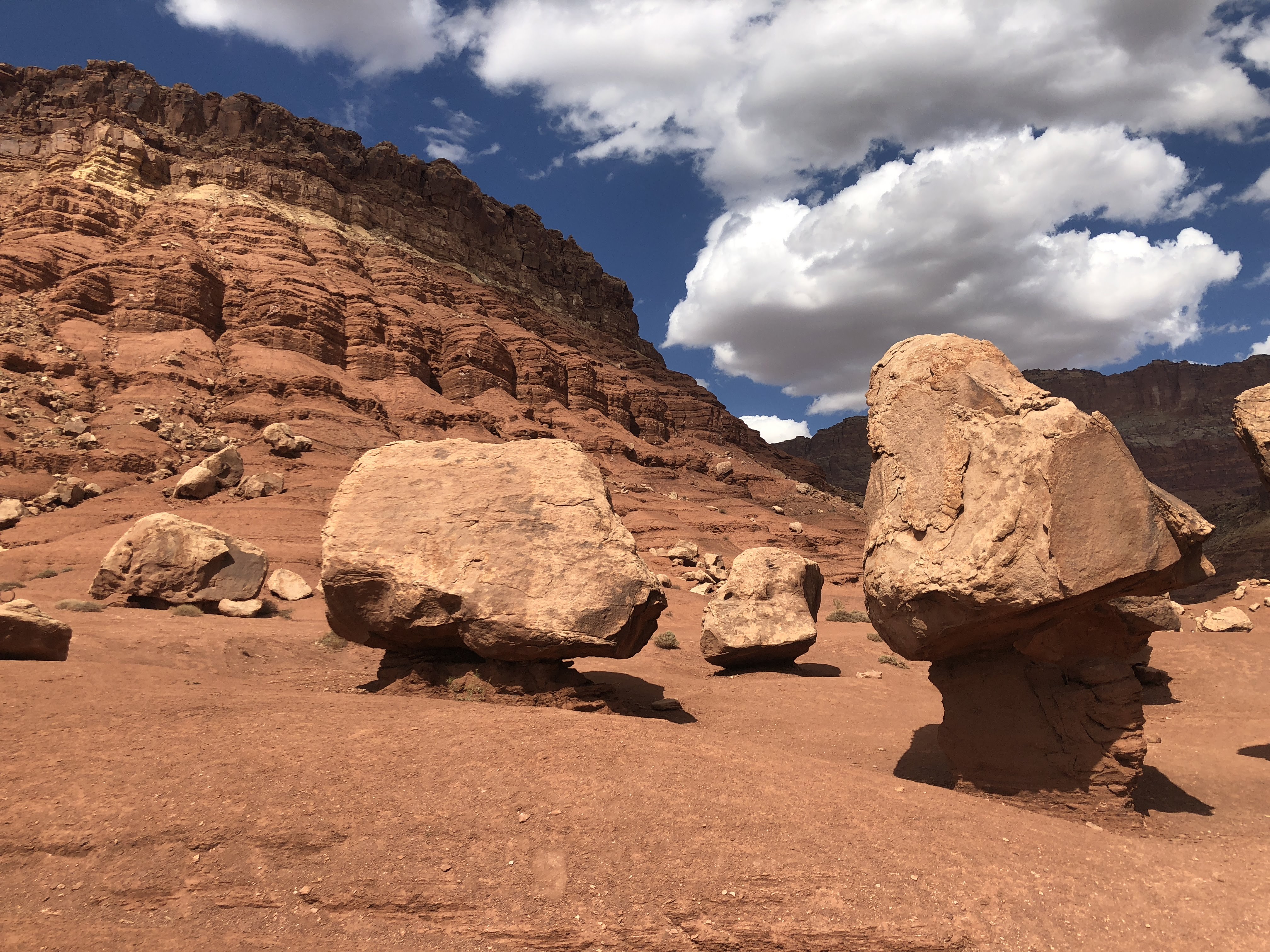
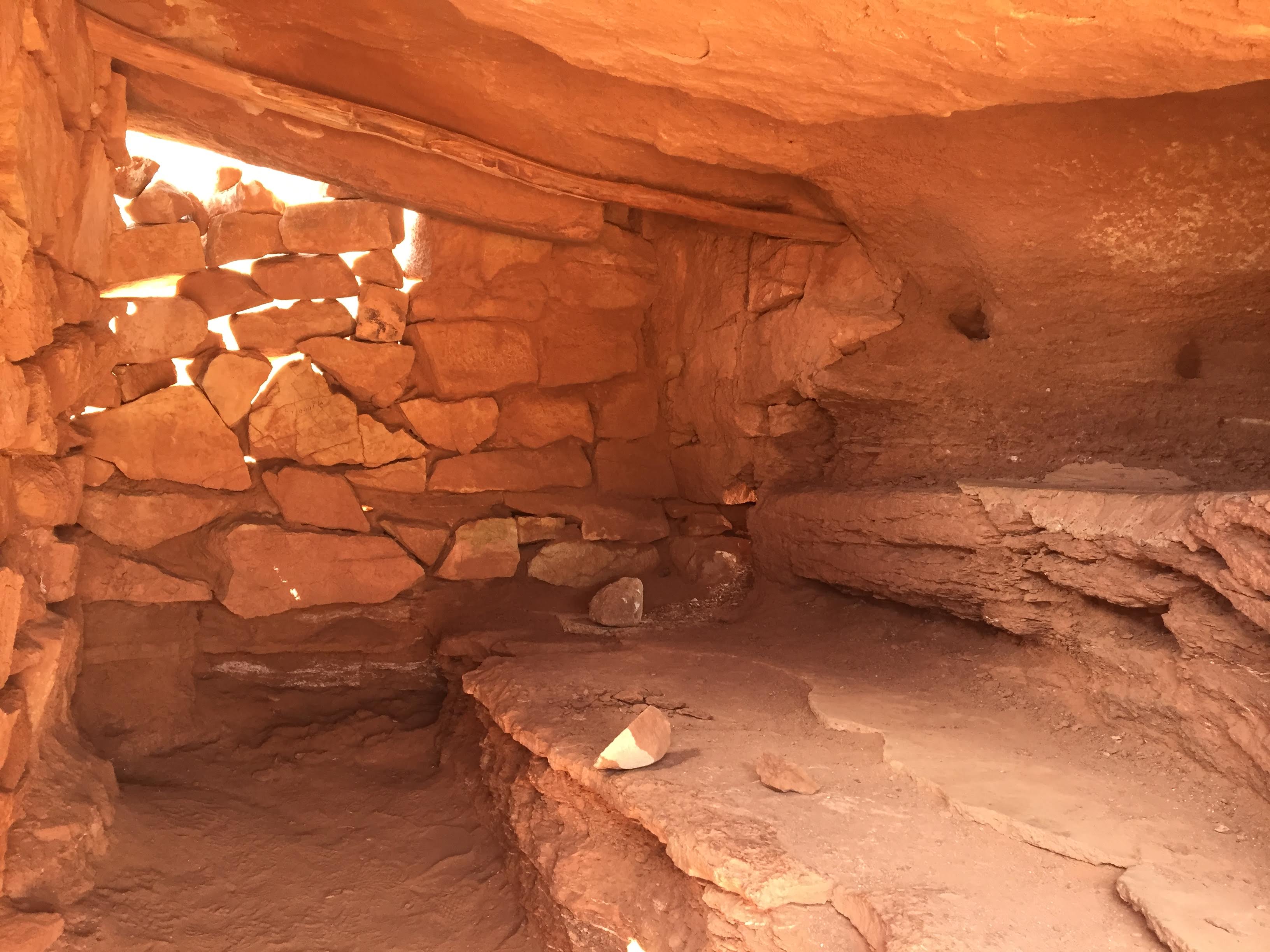
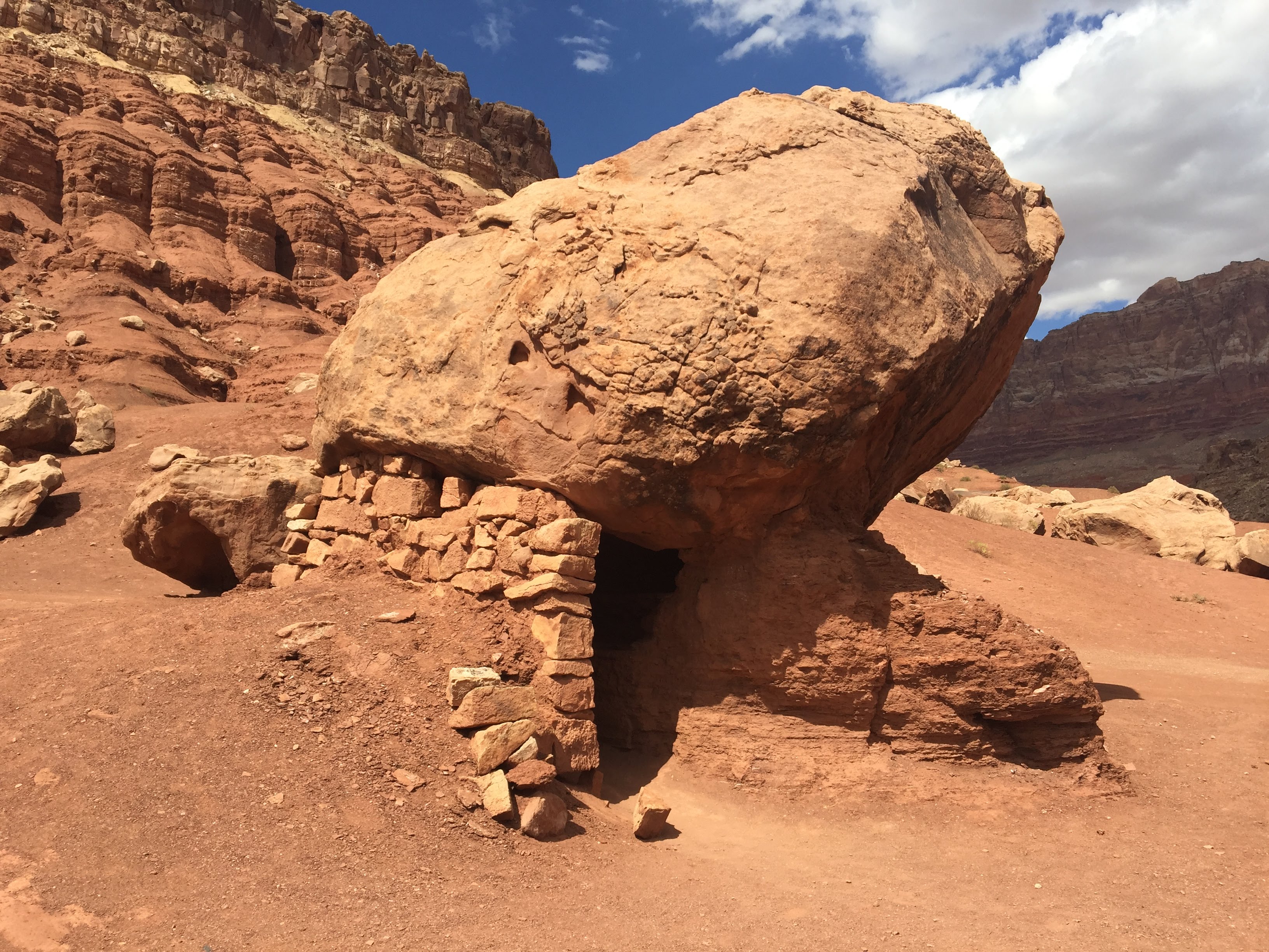
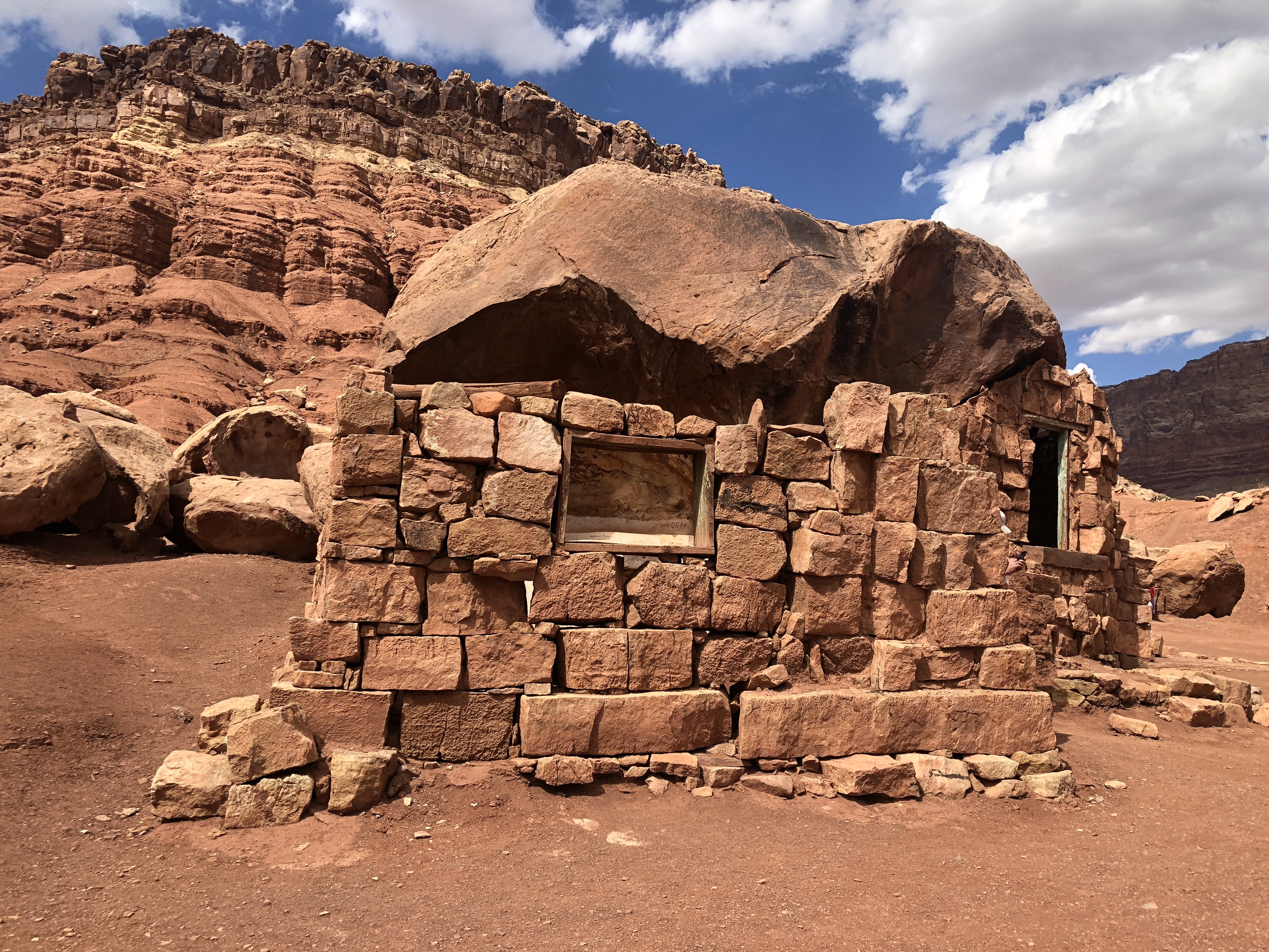
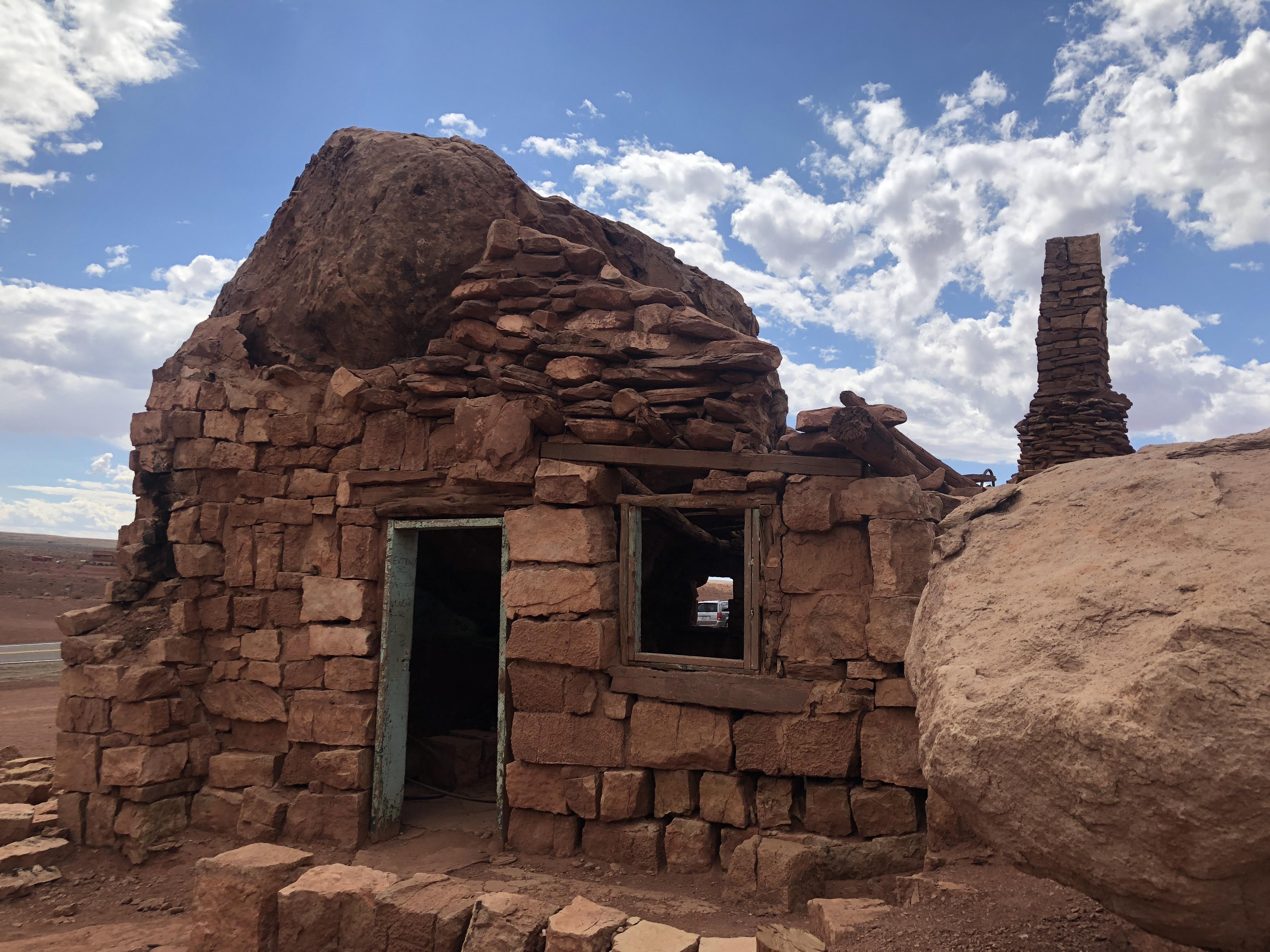
We drove along the Vermilion Cliffs for quite a while.  We came by a sign that said, “Cliff Dwellers”, but all we saw was a motel – The Cliff Dweller Motel.  About one mile further we stopped at a curious sight:

img_8473img_8470img_8475img_5741img_5740img_8466img_8478img_8479img_8482img_8484

There was no information on just what we were seeing here, but it was interesting, authentic or not…

Moving on…

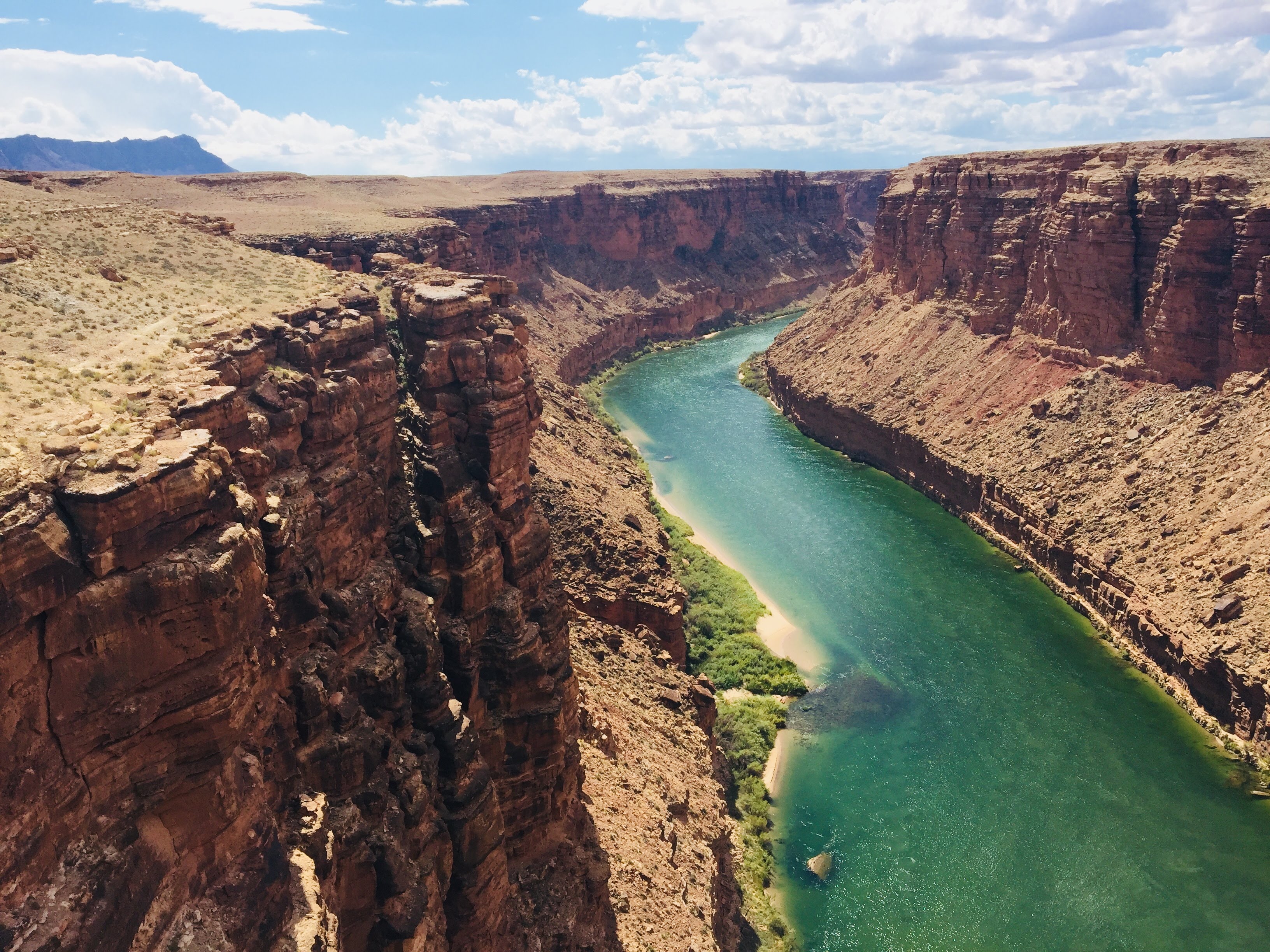
We stopped to take pictures at Navajo Bridge – The Colorado River, again…

img_5746img_5751

Then we passed through Page, AZ, and we drove over the Glen Canyon Bridge.  We will be back here tomorrow to tour the dam…

We caught a few glimpses of Lake Powell as we arrived at the RV Park…

img_5766img_5767img_5771

We checked into the campground and we parked with the other Airstreamers…

This evening we enjoyed a BBQ dinner with the rest of the gang at the campground picnic area…

img_5774img_5772

And an enjoyable time was had by all…
Blog at WordPress.com.

Up ↑