Search

Adventures in the Villa

Category

Evansville, WY

2021-08-11 – The Oregon Trail caravan … Day 14 – Evansville, WY to Lander, WY

We move along today to see some unique sites along the Oregon Trail…

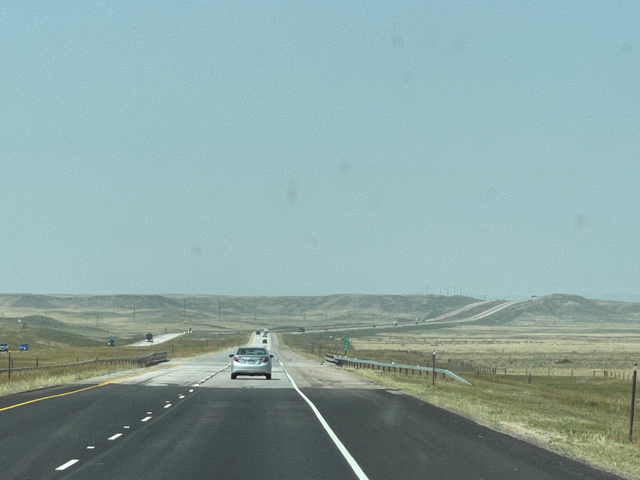
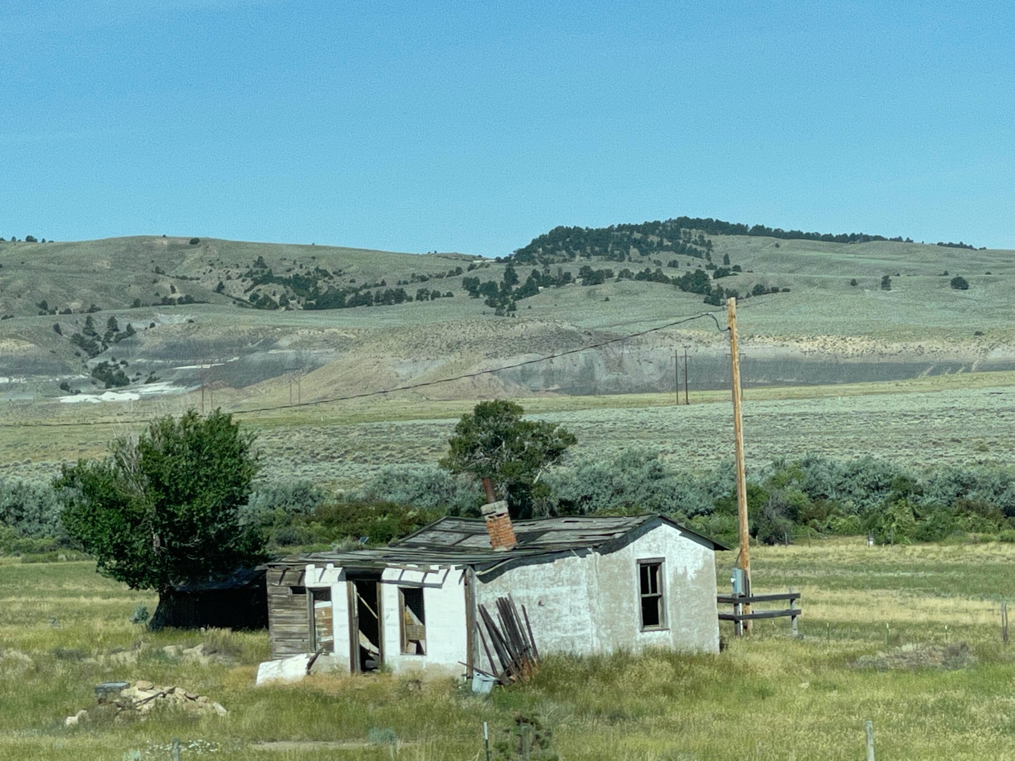
But first we pass some rural, tranquil neighborhoods…

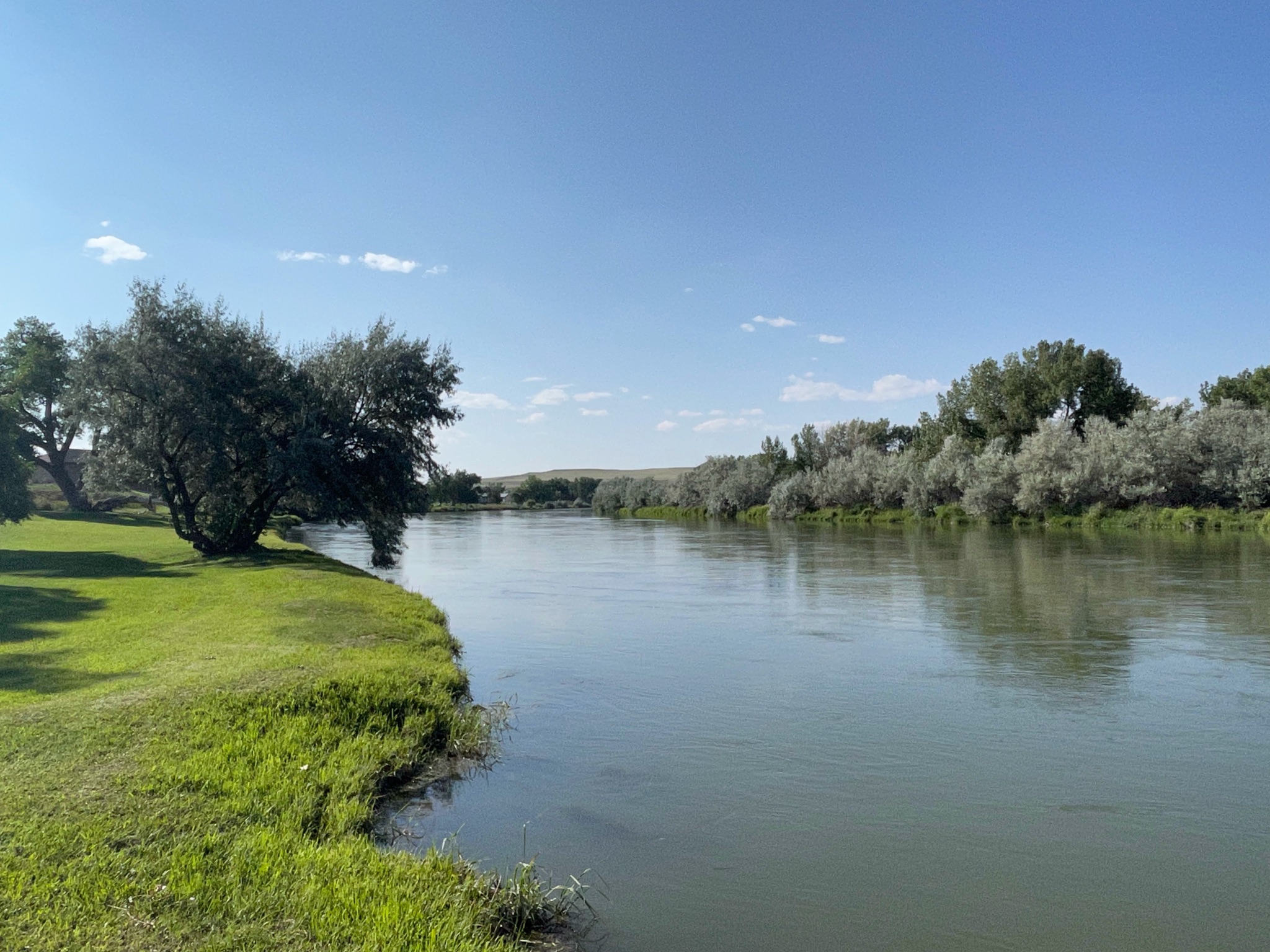
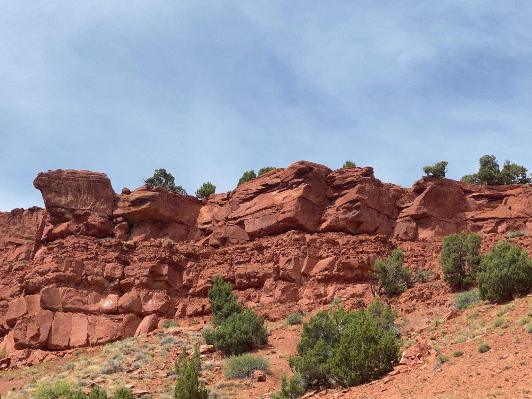
We saw some red bluffs; most emigrant diarists mentioned them along the way…

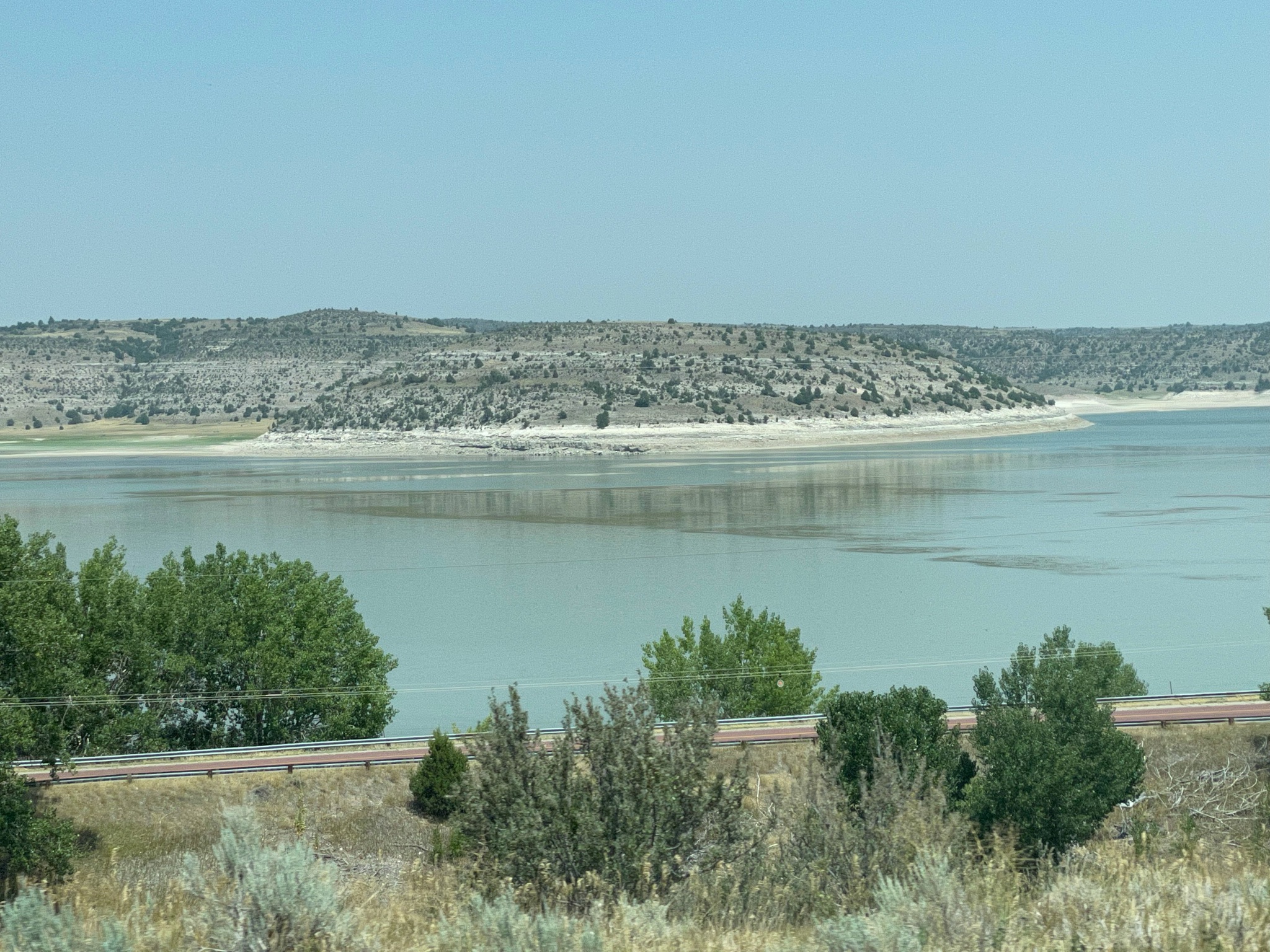
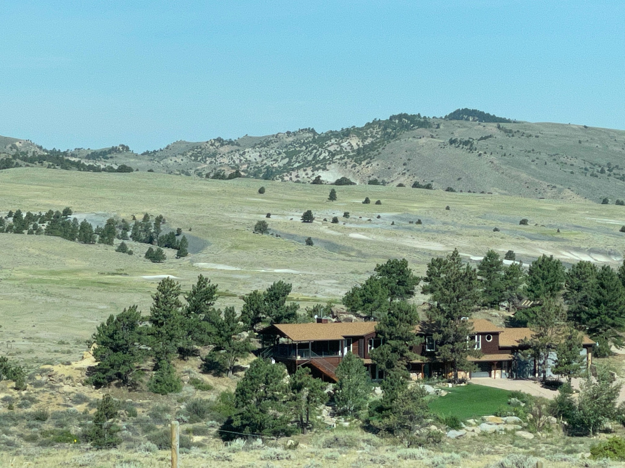
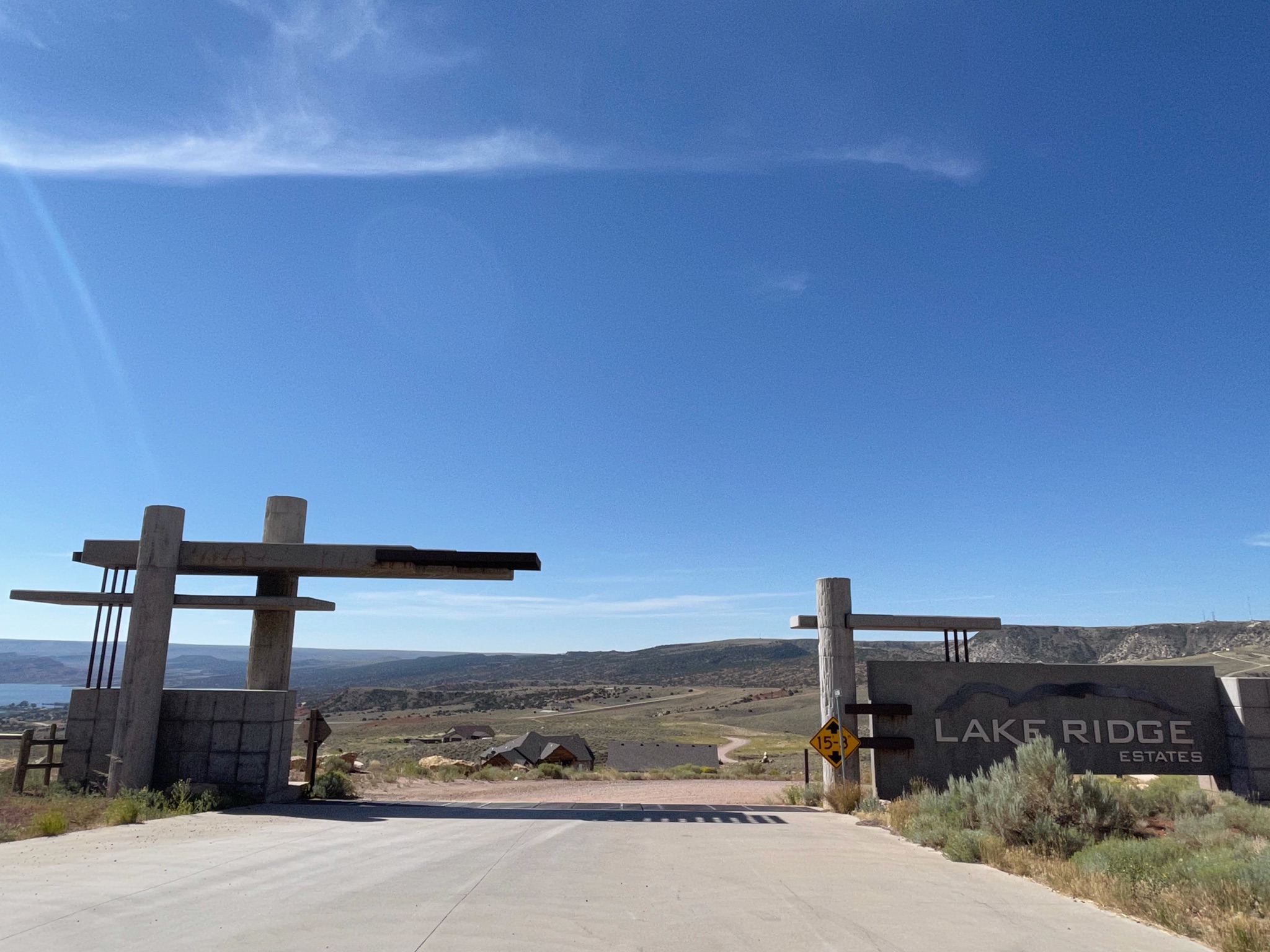
We stopped at a pull-out to look at the Pathfinder Reservoir. We also found this lovely estate development. Homesites 7-20 acres, from $11,000 per acre. Bargain!

Here is the non-gated entry…

Here is the Pathfinder Reservoir

Here is the Villa…

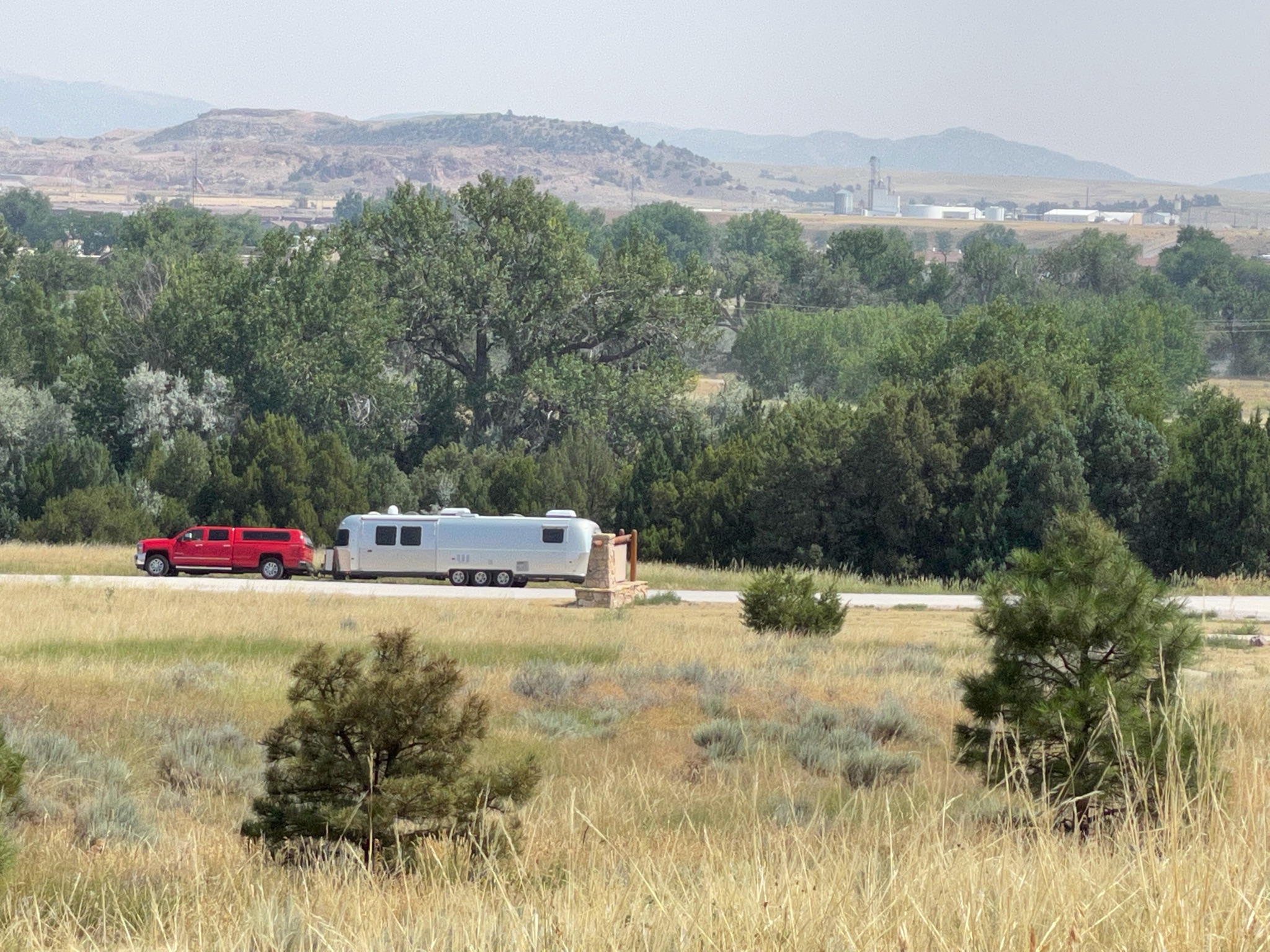
As we were leaving the pull-out three other Airstreams came by. About a mile down the road we had a construction zone, with very slow traffic, allowing us to get some good pictures…

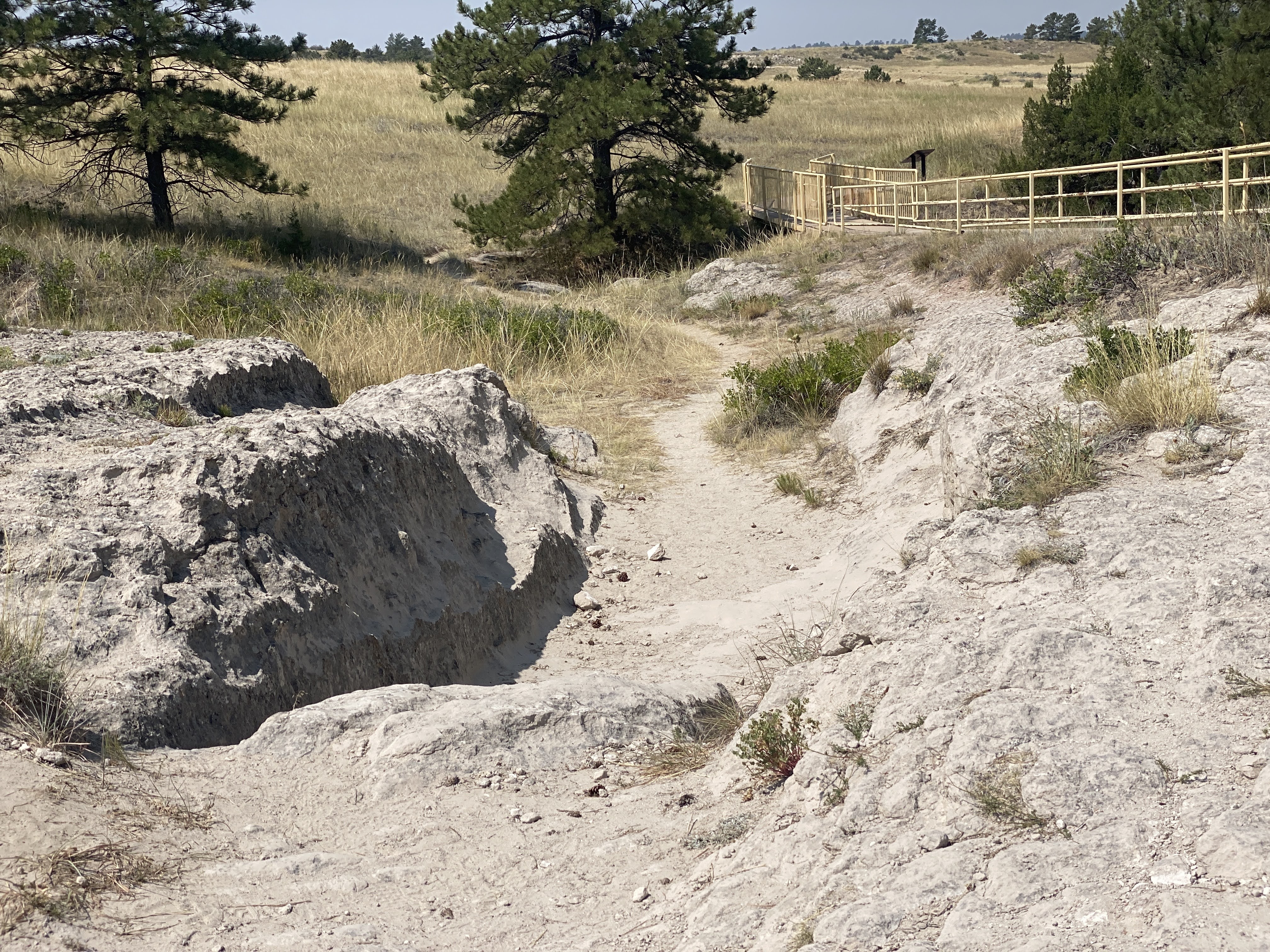
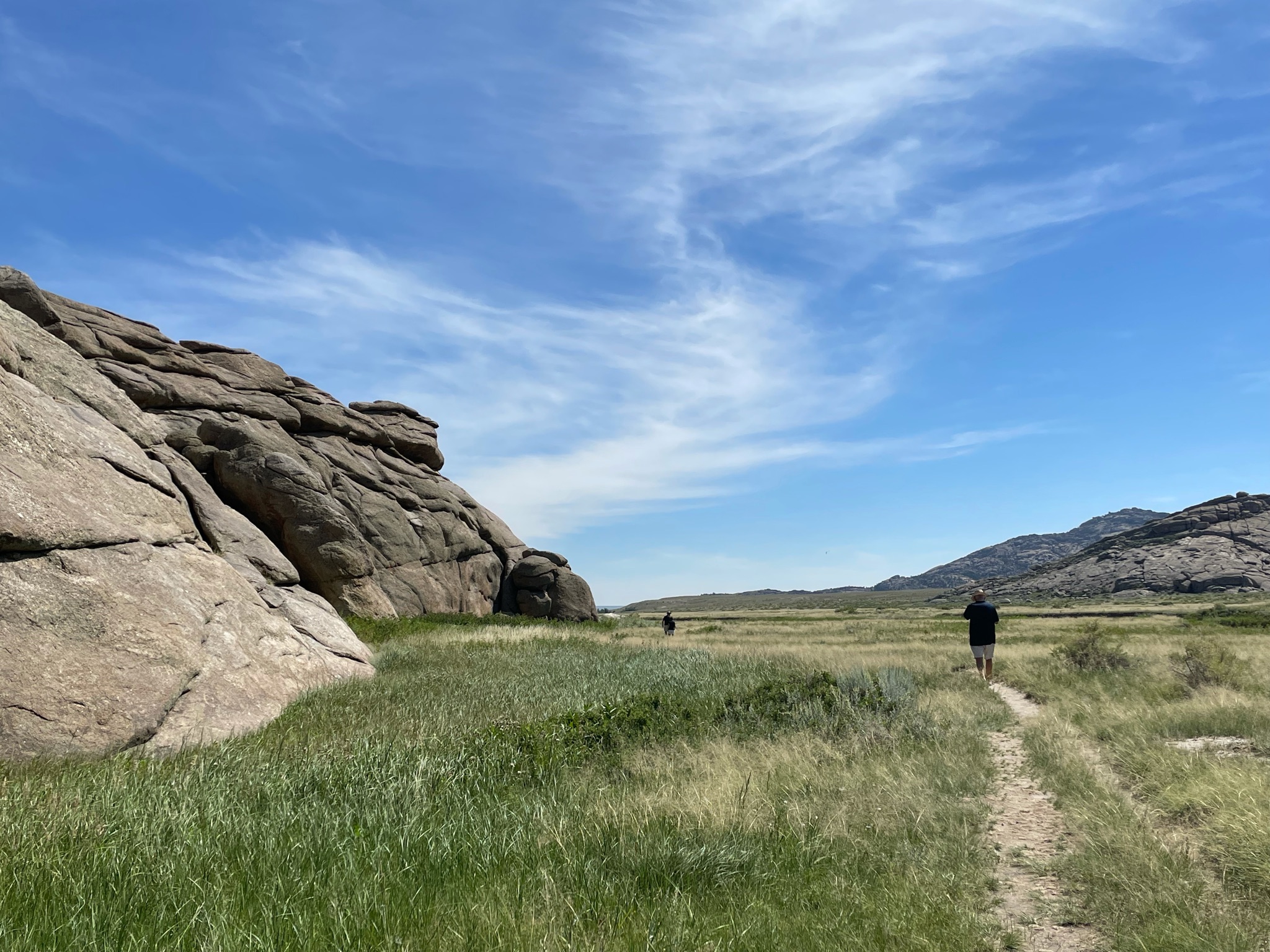
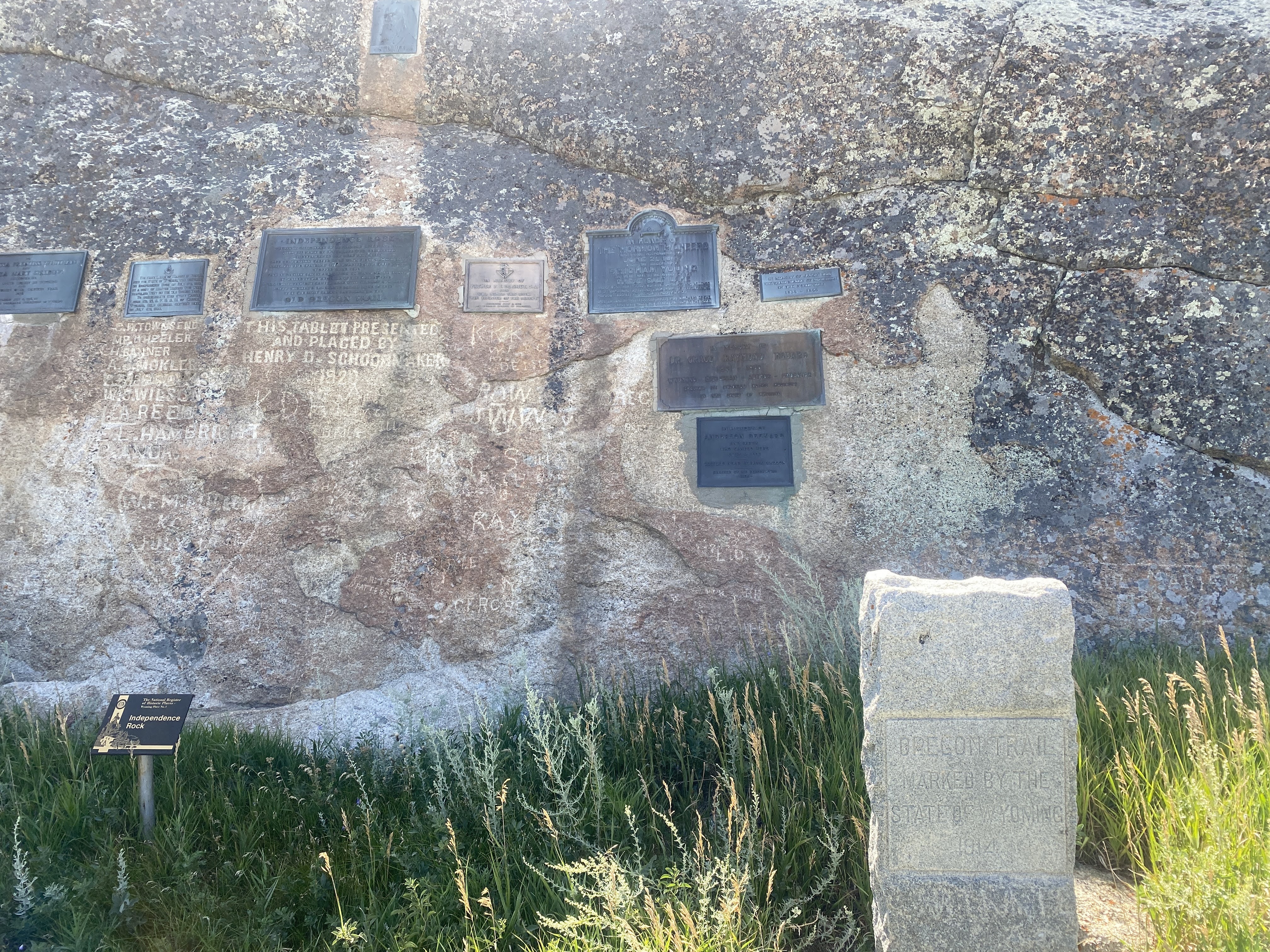
Our main stop for the day is Independence Rock. A big ol’ rock in the middle of the prairie… Of course we stopped to take a look…

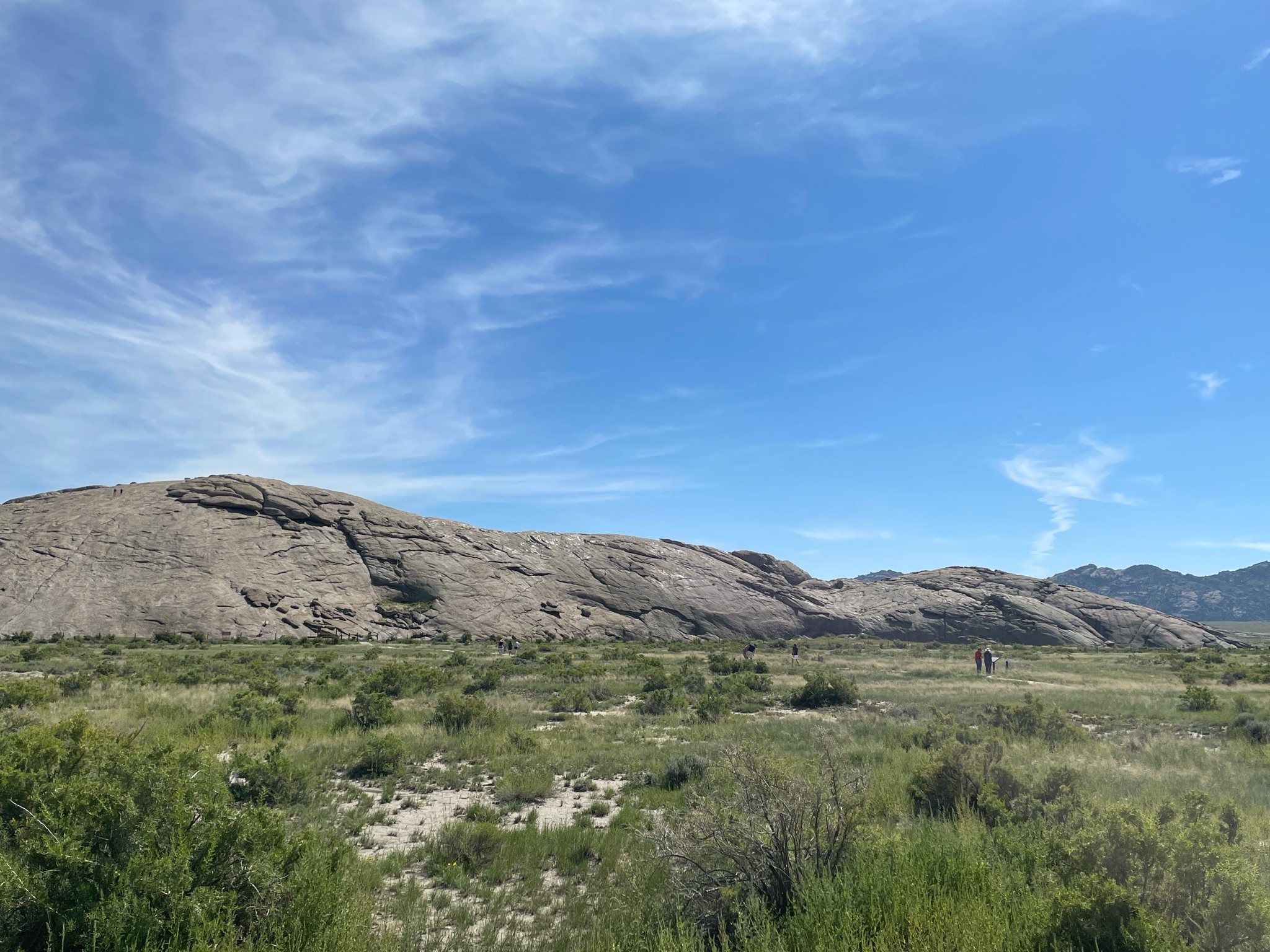
The significance of the rock has many facets. First of all, walking 20 miles per day across the endless prairie was very monotonous. Anything unusual caught the emigrants’ attention. This big rock certainly is unusual. Also, the emigrants’ goal was always to reach Independence Rock by Independence Day – July 4. It was important for the emigrants to celebrate the 4th, and this area gave the emigrants space, water, and game to rest for a day or two. Importantly, Independence Rock is just about one half way between Independence, MO, where most of the emigrants set off to Oregon City, OR. Finally, many of the emigrants painted, scratched, or chiseled their names into the rock. Historians have been all over the rock to collect the various signatures and to correlate them with known emigrants and their diaries…

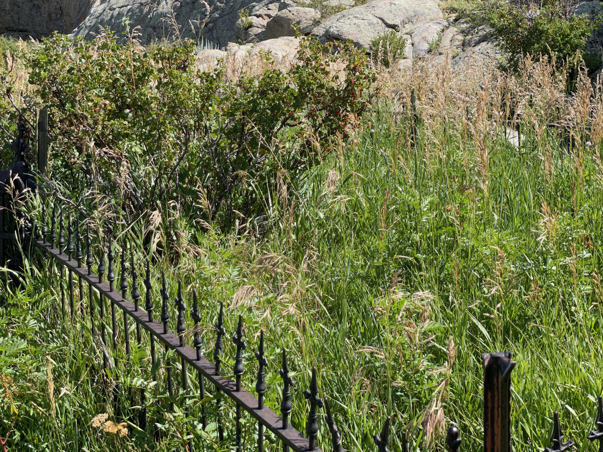
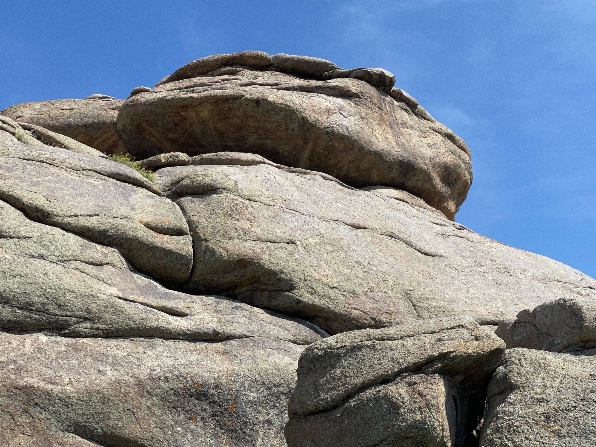
We walked around and onto the rock looking for names. No one we know… Most of the painted or scratched names have been worn away by the weather…

There is a grave here, fenced off…

“Look! Over there!”

We walked ALL AROUND the rock…

On the opposite side of the rock are various placques placed by various historic societies and donors. There have been several Boy Scouts of America “Camporees” here over the years, so BSA also has many placques…

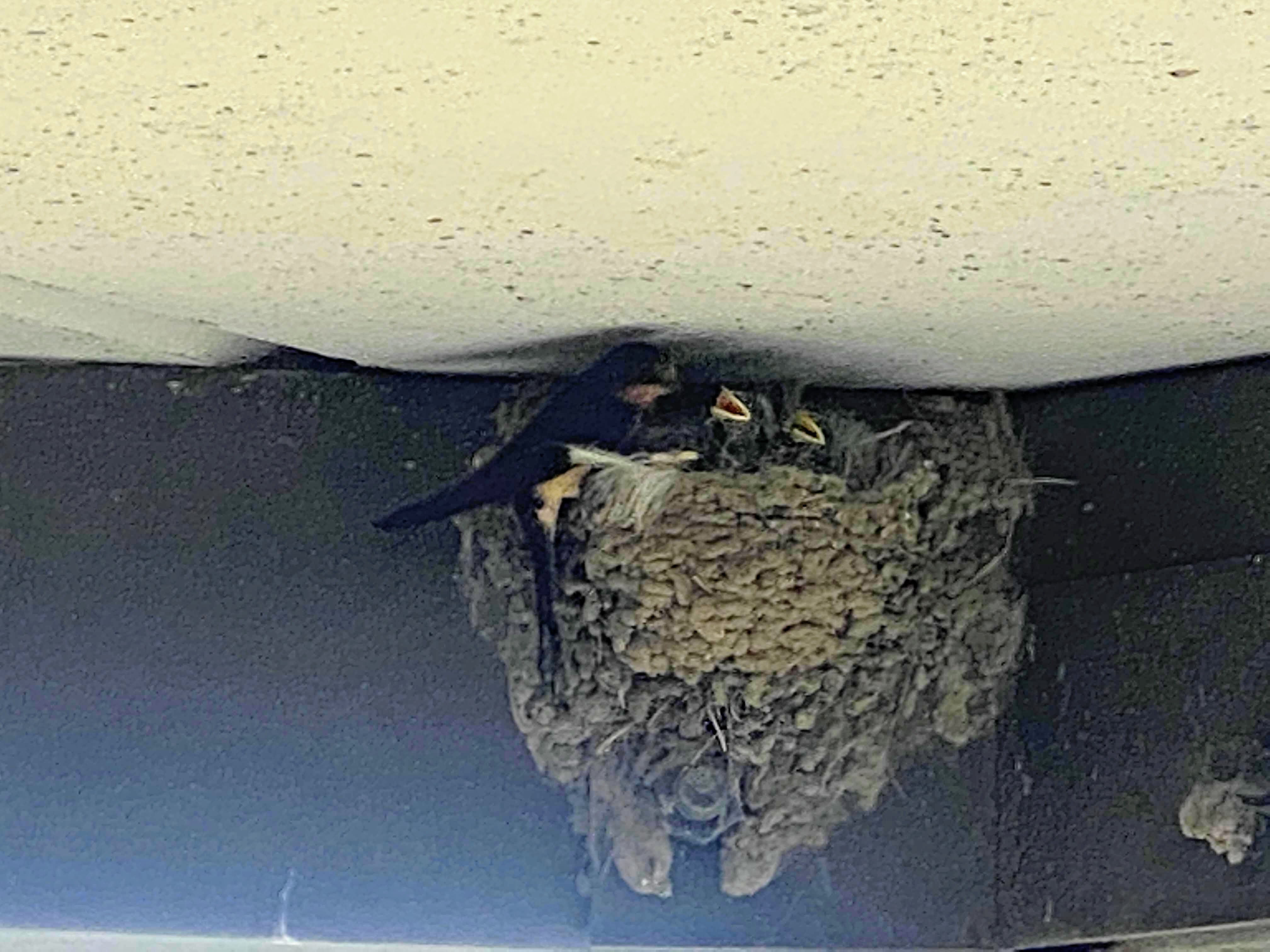
After enjoying the rock we walked back to the entrance. We stopped to watch these birds in a mud nest under the eaves of the visitors center…

We returned to the Villa and drove about four miles down the road to Martin’s Cove. This is an historic site ownered and leased by the Mormon Church. The site commemorates the caravans of Mormons heading to the Great Salt Lake Valley. They could not afford covered wagons so they used hand carts to carry their worldly possessions. They endured many hardships, and up to as many as 25% of them died along the trails.

One feature of the site is the Devil’s Gate – a gap in the rock that allowed the wagons and handcarts through these mountains…

There is also a reproduction of an early fort that the Mormons used to protect themselves from the extreme cold. Portions of the fort were burned to keep the people warm…

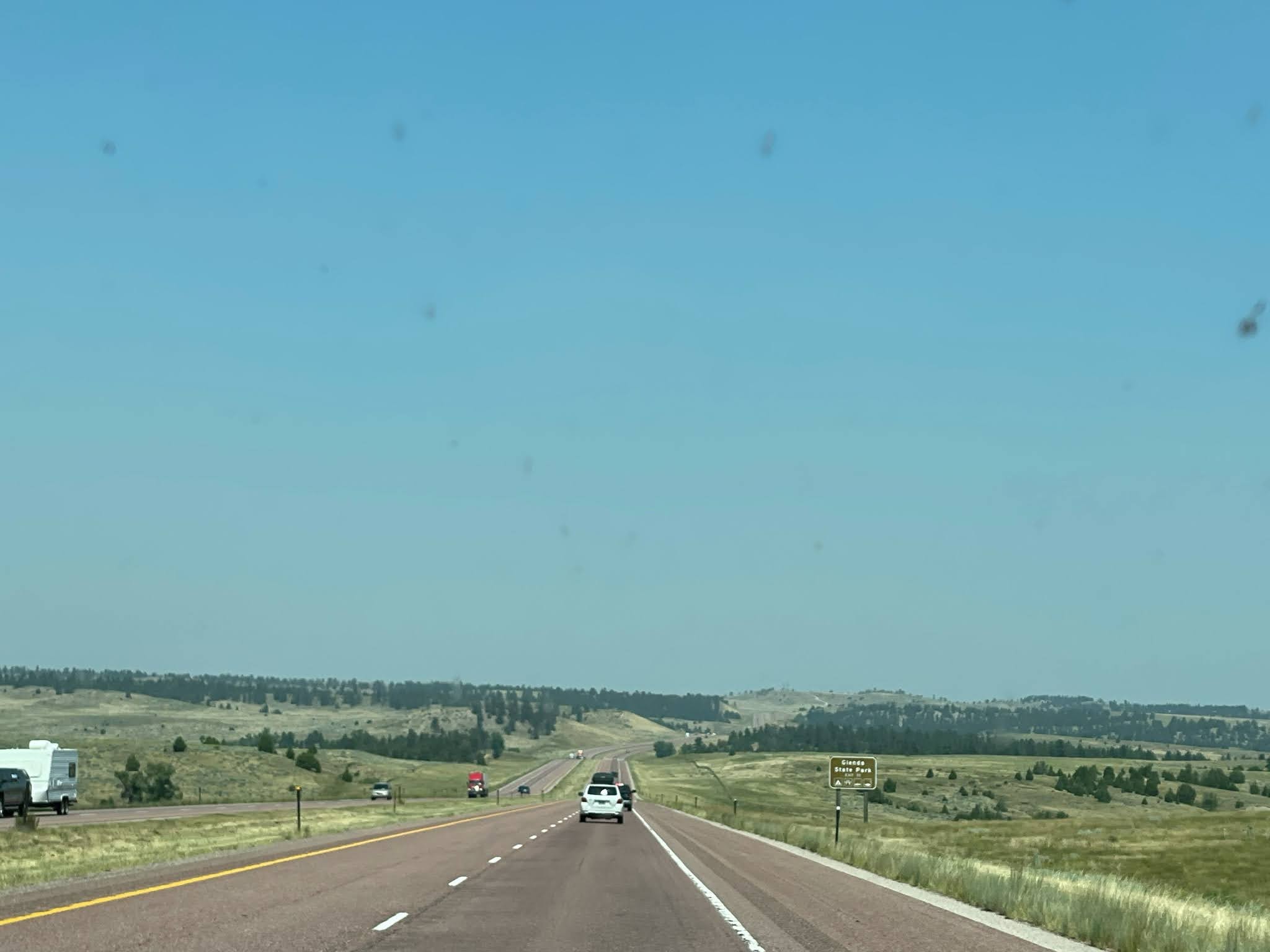
And so we traveled on. Another landmark helping the emigrants find their way is the Split Rock. The trail turned here as it approaches the Rocky Mountains to the west. Split Rock pointed the travelers to the South Pass, the easiest way through the Rockies…

About 15 miles further we stopped to see… the back side of Split Rock…

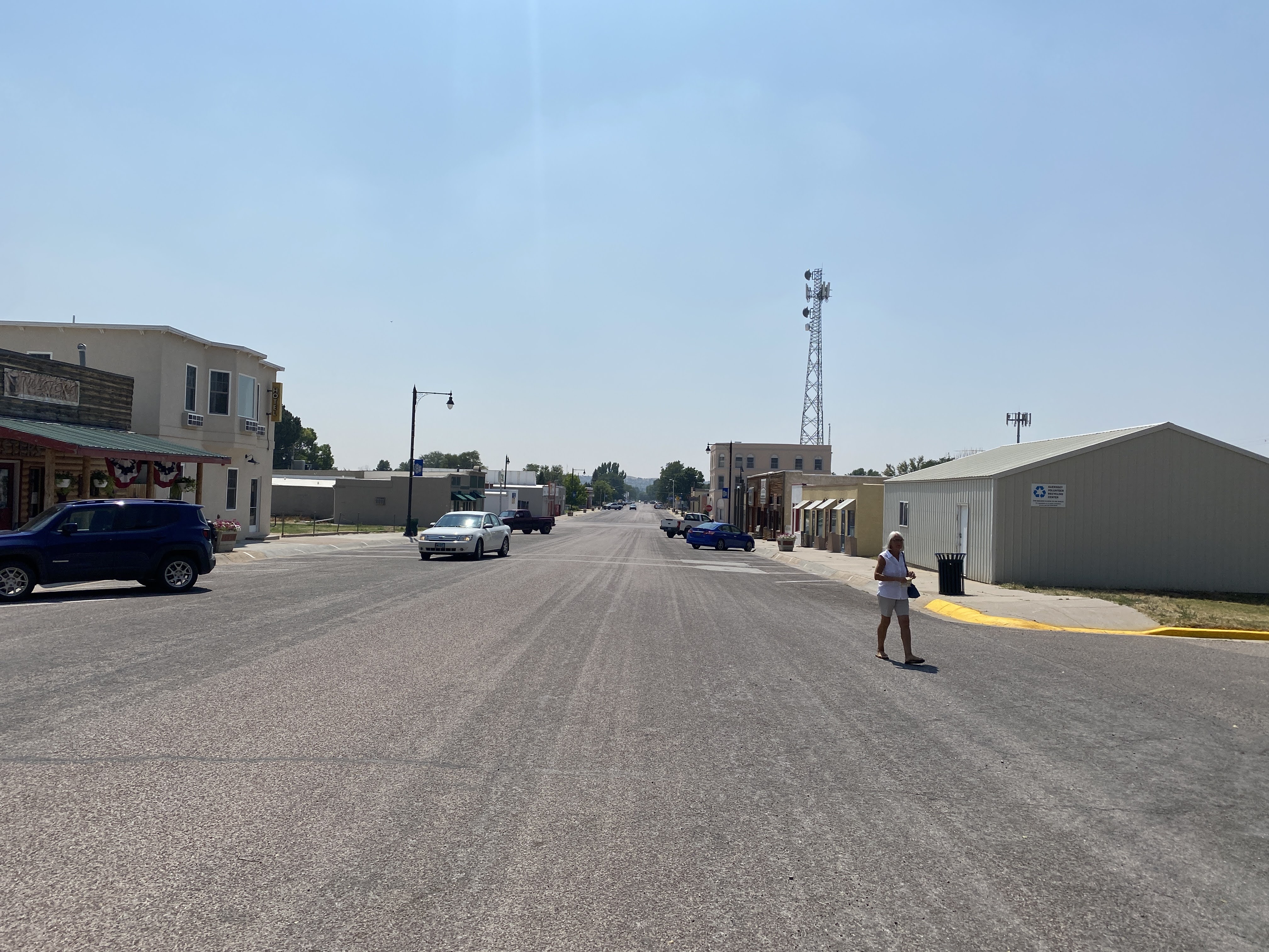
And we are on the road. We caught up to a convoy of seven other Airstreams for our last leg into the town of Lander, WY…

More red rock bluffs…

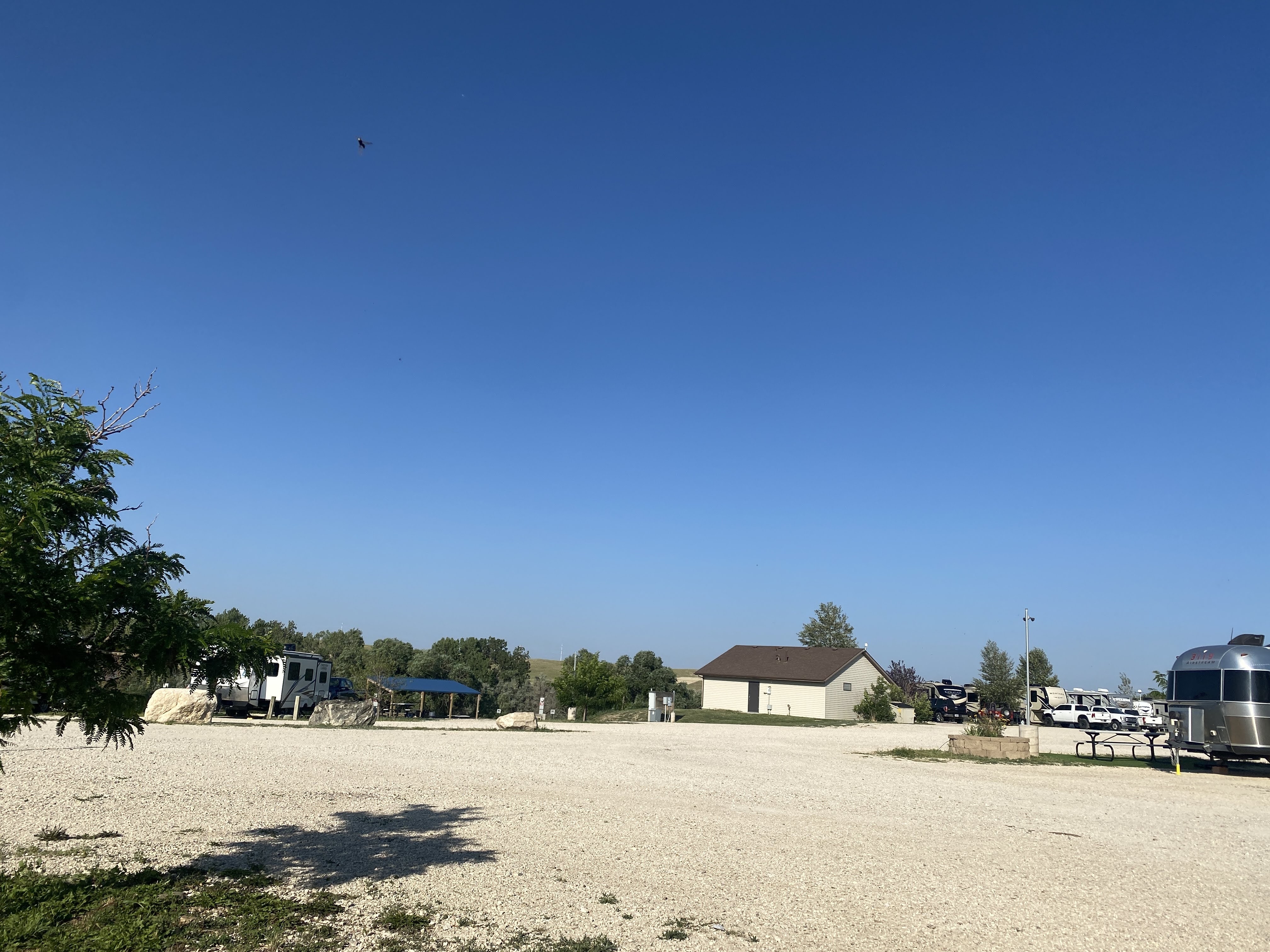
And we are all in, connected, and paid for…

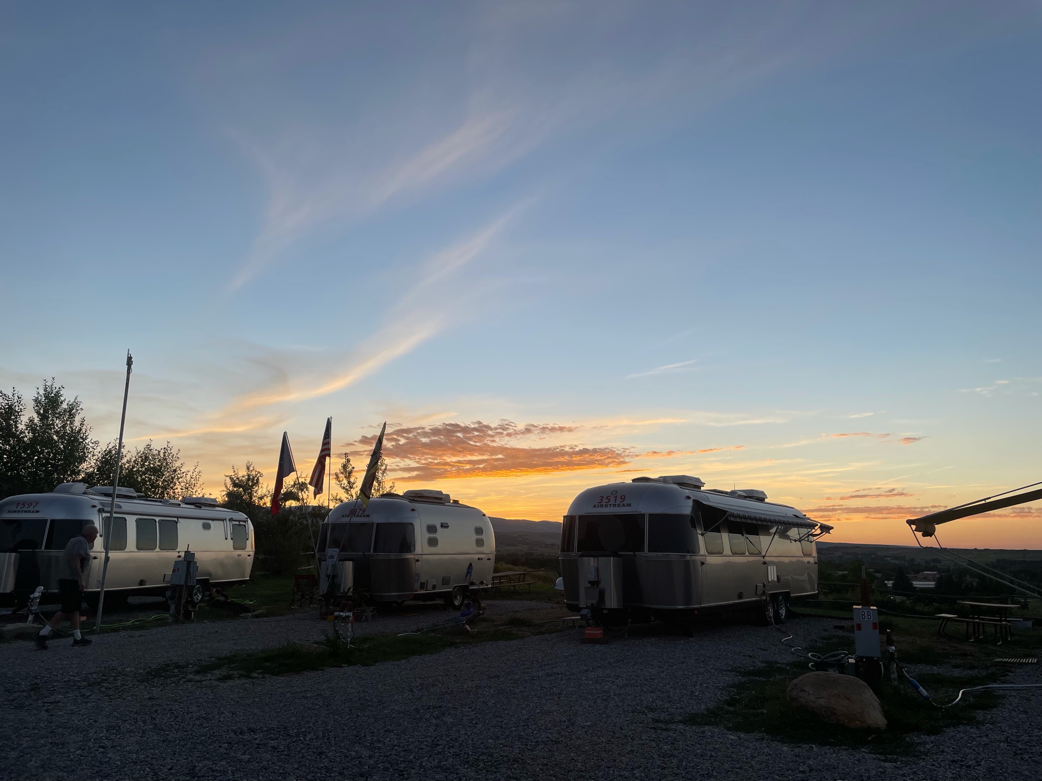
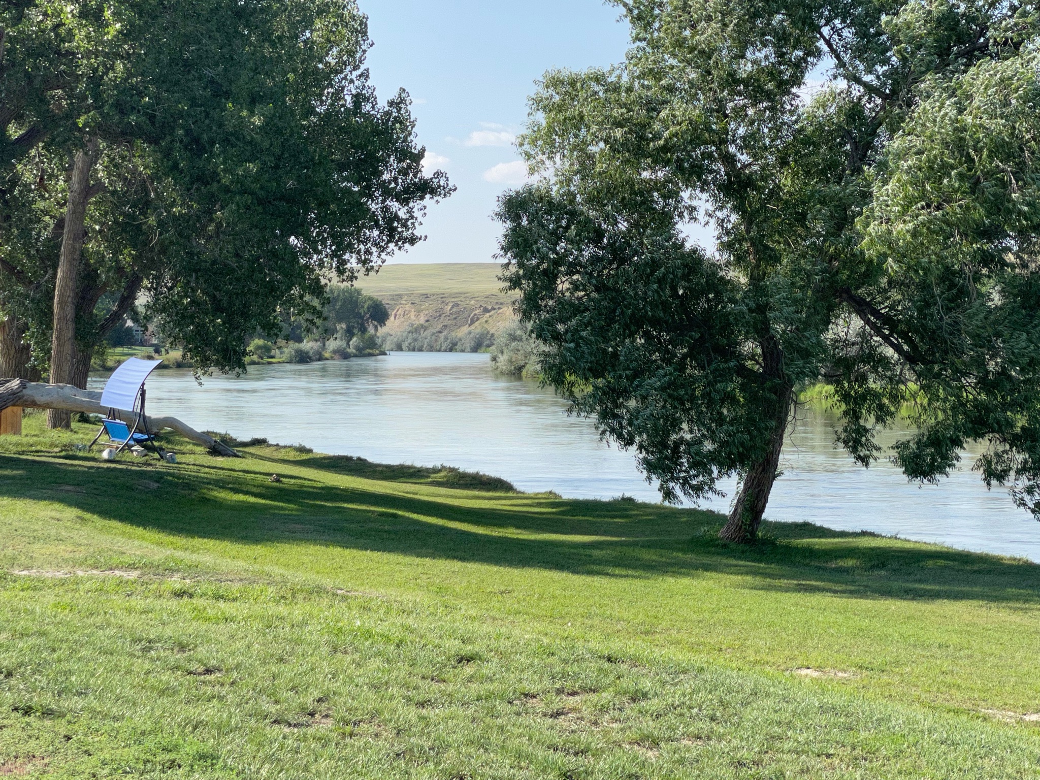
We had a little Happy Hours and enjoyed a light supper. An enjoyable time was had by all…

2021-08-09 & 10 – The Oregon Trail caravan … Days 12 and 13 – Evansville and Casper, WY

Short stories today. I woke up Monday with a sore throat; Lynda has had a cold since Saturday. We stayed in all day…

We did manage to get outside and walk a bit around the RV park, but it is constantly hot and dusty and windy…

We were feeling well enough to get out about 4:00 and join the club at a very good steak house nearby. After a few Old Fashioneds at the bar, and an appetizer of steak tartare, we joined the others for prime rib and cheesecake…

We returned to the Villa and turned in early…

Tuesday we felt a bit better (or at least Lynda did…) We headed out at 10:00 am to see the National Historic Trails Interpretive Center in Casper…

It is located on a bluff adjacent to the Overland Trails – the trails used by the emigrants to Oregon, the 49ers going to California, and the Mormons going to the Great Salt Lake valley…

Before we had left the campground this morning our leaders asked that the ladies wear their Oregon Trail bonnets and dresses… As you might guess, we are non-participants in activities such as this…

We walked toward the museum building…

The building itself reflects a lot of imagery…

The blue wall segments represent the continuous westward trek by the pioneers and the emigrants, always up hill. Missouri is at about 2,000′ elevation, and the continental Divide is at roughly 7,000′ where the trails crossed it…

The stone wall is all native sandstone, and the green wall represents the sagebrush that was the emigrants constant companion on the prairie.

The arch portal, of course, represents the hoops and canvas of the covered wagons…

Inside we watch a short film about the emigrants. The lifesize displays added to the realism of the film…

Some of the Mormon emigrants could not afford oxen or mules, so they carried their possessions for 1,500 miles using handcarts. Lynda gave it a try!

One of the more interesting tidbits of the radical changes the emigrants brought to this region is in addition to all the other self-inflicted damage that I have reported on – loss of food and habitat for Indians, Pony Express ended by the transcontinental telegraph, wagon trains ended by the railroad, small towns ended by the Interstate Highways…

As the 350,000 emigrants passed through here on the trails small settlements sprang up to service the needs of the emigrants. When the trains ended the wagon travel, the rails took a different route again, this time to be more convenient to the coal deposits of southern Wyoming. These settlements slowly vanished…

Outside the Museum is a reproduction of a typical Pony Express station. There is a small stable and a small office for the station master. The station master lived here alone; and he was alone – he was visited by only four Pony Express riders per week. Otherwise he was free to fend for himself. When the Pony Express ended, most of these stations were retrofitted to be relay stations for the telegraph… Adaptive Reuse!

We returned to the Villa. I took a nap… Then we had a modest Happy Hours. We walked around the RV park in the evening…

An enjoyable time was had by all

2021-08-08 – The Oregon Trail caravan … Day 11 – Gering, NE to Evansville, WY

We are leaving Nebraska today, traveling to Casper, WY (actually Evansville…).

But before I talk about today, here is a picture of all of us at Scott’s Bluff yesterday…

We drove through the Robidoux Pass, between the major cliffs at Scott’s Bluff. We will be following the the Oregon Trail for much of our trip today…

Beyond we see Nebraska countryside once again…

As we move west, closer to Wyoming, the terrain changes…

We entered Wyoming and found the town of Fort Laramie. Surprise! There is a fort here! As we headed for the fort we crossed over the North Platte River (for about the 8th time today…). Adjacent to the modern bridge we crossed is the old iron bridge built by the Army in the mid-1800s…

As we approached the fort we encountered three of our friends as they were leaving…

The visitors center had several well developed displays telling the history of the fort. It was originally a trading post, until the US Army bought it in 1849. By 1849, as California-bound 49ers joined the Oregon Trail emigrants the trickle of wagons across the plains had become a flood. The fort provided protection in addition to becoming a major supply post, the first since Fort Kearney, 600 miles to the east…

As the emigrants passed through the area they brought destruction… Annually, 10,000 wagons, 50,000 people, and 75,000 head of animals passed through here. The people and cattle killed and/or chased away the game, depriving the Indians of their food supply. Livestock trampled the grass across a two mile wide swath of land. The wagon wheels scarred the land; these scars are still visible over 150 years later. (As we will see at our next stop…)

Peace with the Indians was spotty at best. Treaties were made, treaties were broken. The Platte River Ferry incident and the Grattan Fight brought peace to an end. For 25 years the Northern Plains Indian Wars raged. By 1860, as the emigrant traffic slowed (with the introduction of stagecoach travel, and then train travel) the fort transformed from a rest stop for emigrants into a base of military operations against the Northern Plains tribes…

Through the 1860s the fort stood as a vital link between the east and west. 500,000 people now lived west of the Rocky Mountains. In 1860 the Pony Express came through, followed by the transcontinental telegraph. When the Civil War began, troops were withdrawn from the fort. The small crews left behind had to scramble with maintaining the hundreds of miles of telegraph lines. As the Indian wars rages, Indians attacked the fort, telegraph lines, stagecoach travel, and the wagon trains. The Fort Laramie Treaties of 1868 held the promise of peace on the plains. It was short lived…

The beginning of the end was Col. Custer and his defeat by Sitting Bull at Little Bighorn in 1876. This so enraged the army (and the federal government) that they set out on a mission of retaliation. This culminated at Wounded Knee in 1890, with the slaughter of between 150-300 Lakota Indians by the US Army. It ended any organized resistance by the Indians to living on reservations.

Fort Laramie in the 1880s was a “golden era”, as a false sense of of permanence prevailed. New buildings were built, old buildings were improved, and an active scene prevailed among the officers and the local citizens. In the mid 1880 a railroad nearby brought all the amenities of Victorian life to the fort.

In 1886 a new, larger railhead was built at the adjacent Fort Robinson. It made Fort Laramie superfluous. In 1889, the fort was closed and abandoned. In 1890, the land and buildings were sold at a public auction. Also in 1890, Wyoming was declared a state and the Indians were all on reservations. In 1890, the Superintendent of the Census declared that the American frontier had ceased to exist.

In 1937 a group of local residents of the town of Fort Laramie finally prevailed on the state of Wyoming to purchase 214 acres of old fort property, and preservation and restoration of the fort was begun.

I’m not a fan of forts and old buildings like this. We saw the fort, we learned the history, and we traveled on… It was a god thing that we were leaving now… In a few minutes the parking lot looked like this:

So we hurried on… About ten miles down the road we came to the town of Guernsey, with its giant rail yard. All these train cars are filled with coal, heading into Nebraska to fuel the 15 giant power plants there…

We crossed the North Platte River, again…

We found the ruts we are looking for…

These runts, worn into the sandstone, are impressive…

As we returned from the ruts and trails we found the Villa in the distance…

We drove the short distance back to the town of Guernsey. We stopped at the Twisted Eatery for lunch…

Nothing fancy here. No avant garde food. Just well made, simple food. We enjoyed our sandwiches! And we traveled on…

We arrived at our campsite in Evansville, adjacent to Casper… Lots of gravel, and a small patch of plastic grass at each site…

Happy hours were enjoyed. It is hot and windy this afternoon and evening. We enjoyed our view of the North Platt River…

An enjoyable time was had by all…

Blog at WordPress.com.

Up ↑