Search

Adventures in the Villa

Category

Goosenecks State Park

2018-09-11 – WBCCI 2018 Southwest Adventure Caravan – Day 24 – Capitol Reef National Park

The morning dawned beautifully in Torrey…

img_7705

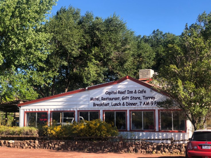
We had breakfast at the Capitol Reef Cafe, as part of the caravan fees that we had paid… We enjoy patronizing local businesses…

img_7708

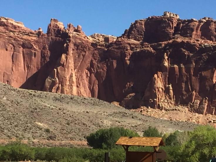
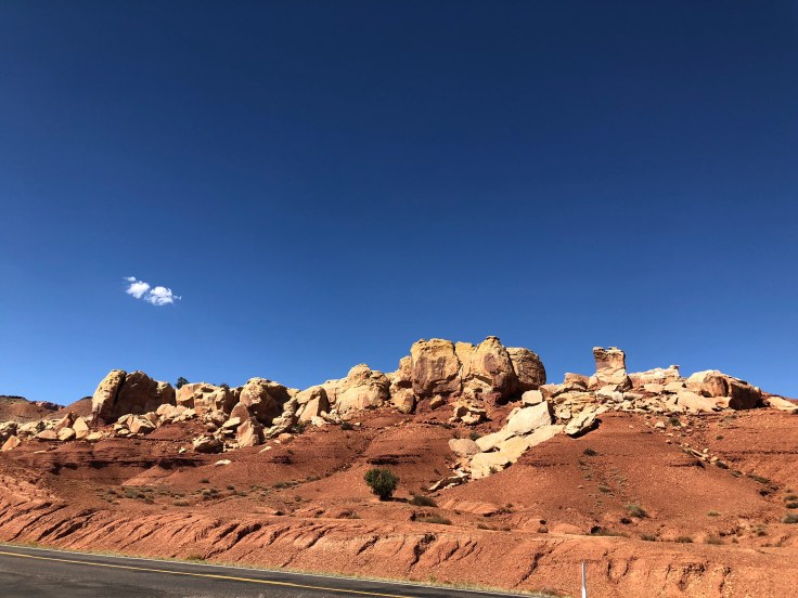
Our touring today takes us through Capitol Reef National Park.  The caravan provided a CD to play as we drove through the park, explaining what we were seeing (rocks) and allowing us to stop from time to time to walk/hike to see things not visible from the road…

img_7713

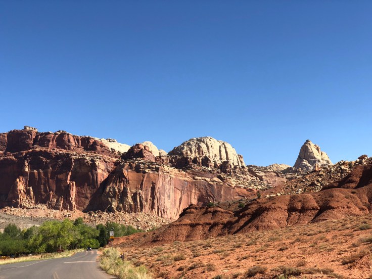
Capitol Reef National Park is approximately 60 miles long on its north–south axis but an average of just 6 miles wide.  It was initially designated a national monument on August 2, 1937, by President Franklin D. Roosevelt in order to protect the area’s colorful canyons, ridges, buttes, and monoliths; however, it was not until 1950 that the area officially opened to the public.  Road access was improved in 1962, and in 1971 it was named a National Park.  It is one of the least visited and uncrowded National Parks, although it was relatively busy today.

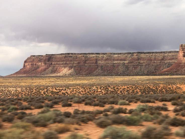
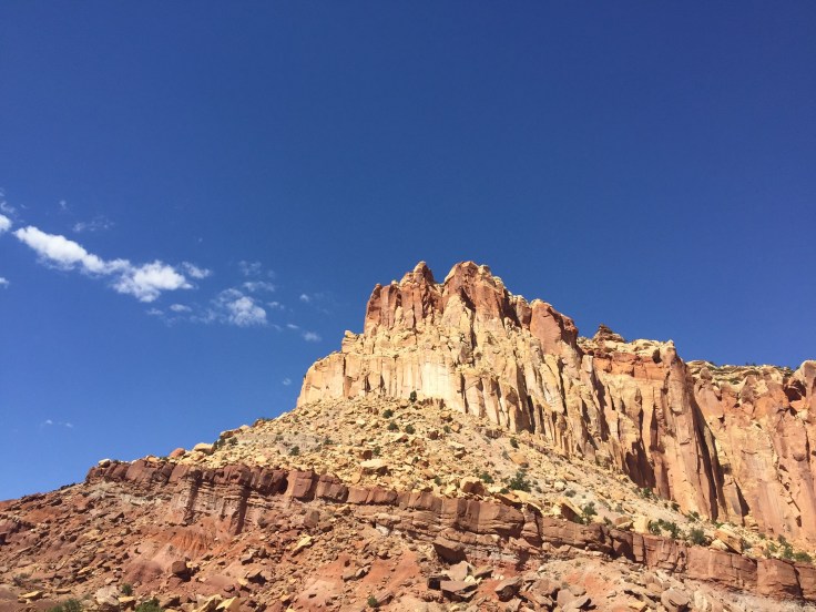
One major feature of the park is the nearly 100 mi long up-thrust formation called the Waterpocket Fold, a huge ridge of up-lifted rock.  The park was named for whitish Navajo Sandstone cliffs with dome formations—similar to the white domes often placed on capitol buildings…

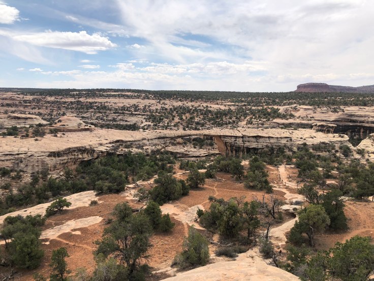
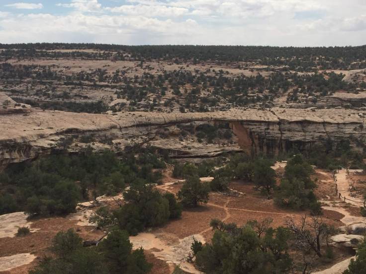
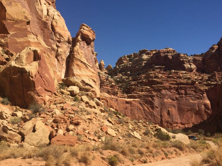
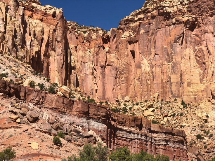
We followed the road, seeing the sights, and finally proceeded down a two mile long gravel road called the Grand Wash to see the rocks up close and personal…

img_7715img_5212

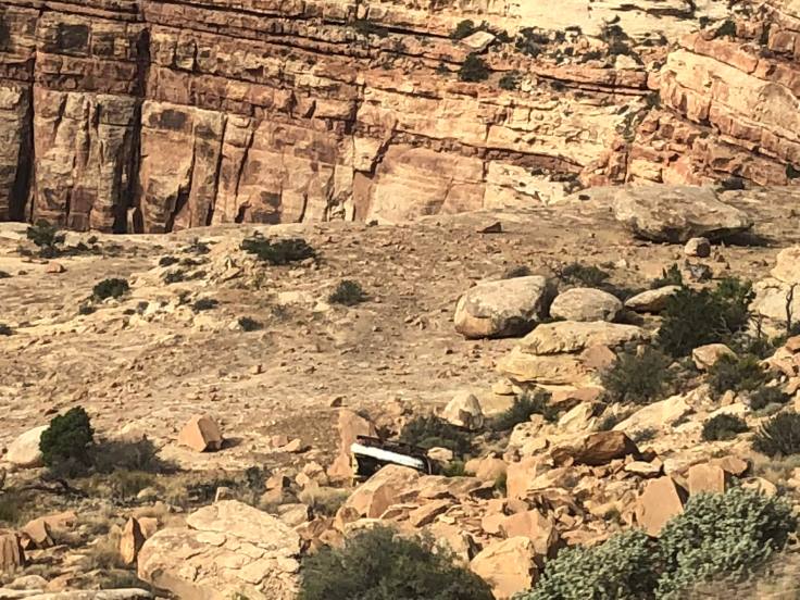
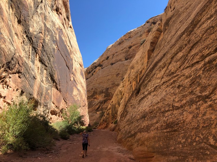
We parked and walked about a mile into the canyon.  There are signs everywhere to stay out of the canyon if rain is expected, since flash floods are common.  Fortunately for us, the sky was clear and blue…

img_7716img_7719img_7723img_5215img_7728img_7727

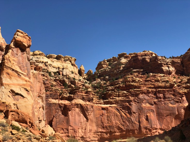
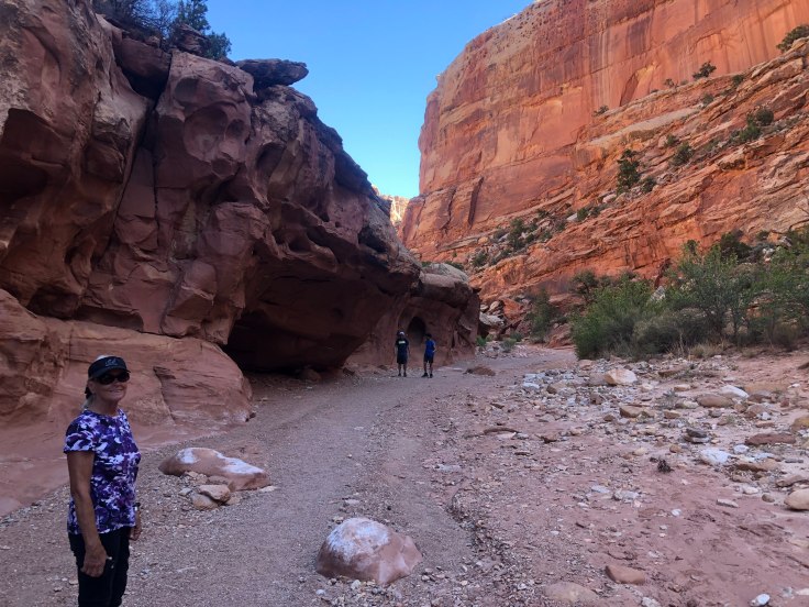
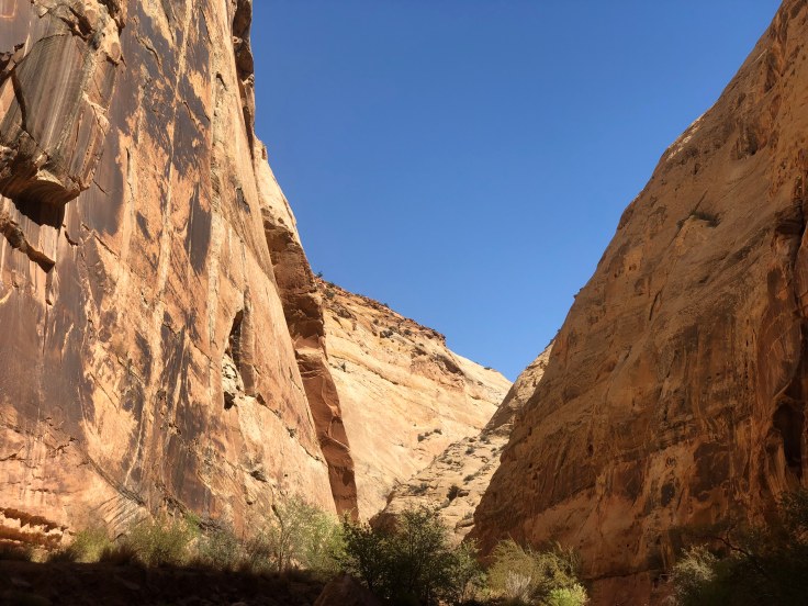
We returned to the truck and continued along, following the CD, until we arrived at the Capitol Gorge trail, another walk/hike into the canyon…

img_5219img_7739

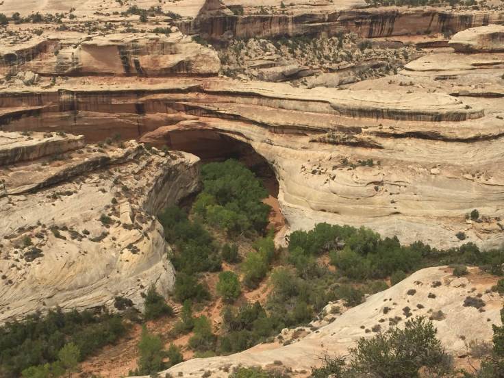
We found this “window” in the rocks – this will eventually expand into an arch…

img_7741

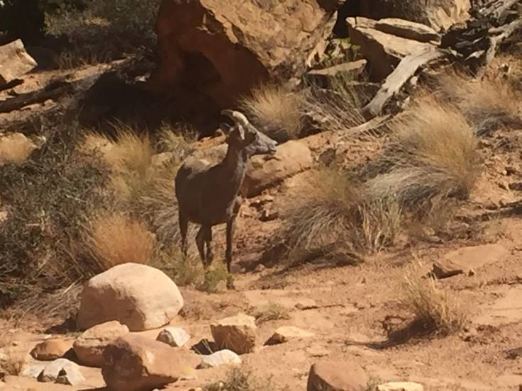
We saw several goats along the way…

img_5232

The canyon gets very narrow and is quite intimidating…

img_7763img_7772img_7770

As we returned back through the canyon we found some petroglyphs…

img_5241

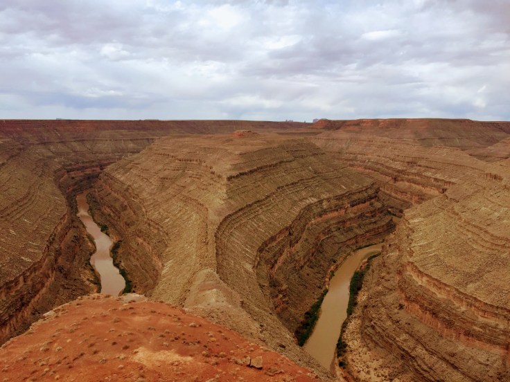
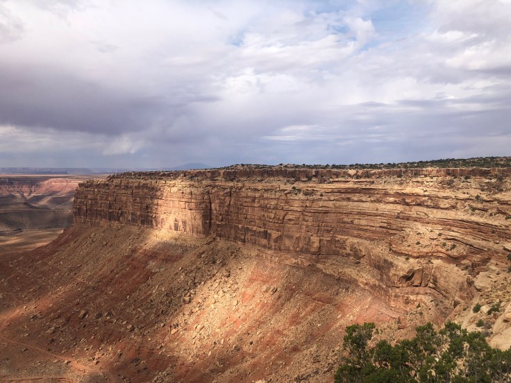
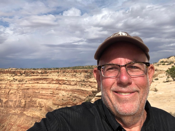
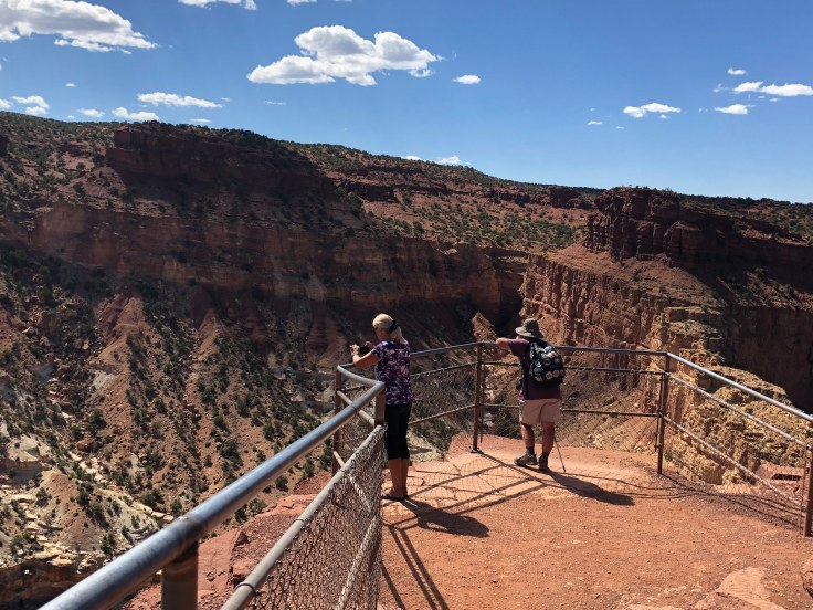
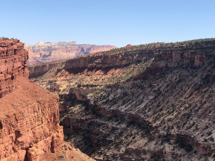
We returned to another leg of the CD tour.  This one led to marvelous views, both up and down…

img_5246img_7778img_7780img_5248img_52502img_5251img_7788

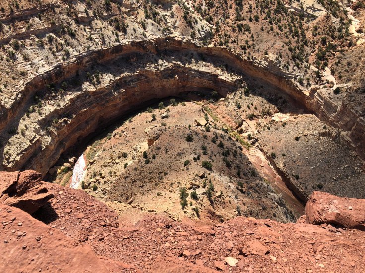
This is another “meander”, similar to what we saw in Goosenecks State Park…

img_5253img_7790img_7791img_52551img_7793img_7794img_7795

Back at the RV park we had the last of the Fandangos, so, technically, we have met everyone n the caravan… We still have a ways to go to really remember everyone’s name…

And then we were treated to a lovely twighlight…

img_52581

And an enjoyable time was had by all…

2018-09-04 – WBCCI 2018 Southwest Adventure Caravan – Day 17 – Goosenecks State Park, Muley Point, Moki Dugway, and Natural Bridges National Park

An exciting day exploring Southern Utah in a pickup caravan… We carpooled, but there were still 15 trucks in a row…

img_7229

Our first stop was Goosenecks State Park, overlooking a deep meander of the San Juan River. The park is located near the southern border of the state, a short distance from Mexican Hat, Utah.

A “meander” or restrained meander, is a river that cuts its way through the many layers of various types of stone to form features such as this…


img_7140

What is fascinating to me is how this happened… This river wasn’t just flowing along the top of a mesa and over time carved its way down.  No, the water was always flowing at this level, meandering along a wide, flat plain.  It was the plain that was pushed up by volcanic pressures, and the river and gravity fought back, carving the many layers of stone.

img_7139img_48761img_4877

The river is about 1,000 feet below the mesa at this point…

From here, we headed to the Moki Dugway, which is the access road to Muley Point.  In contrast to Goosenecks, where the river was 1,000 feet below us, Muley Point is 1,000 feet above us, and the Moki Dugway is the way to get up the “mountain”.  (Many of the caravaners are from places like Florida or Texas, so they are not familiar with real mountains…)  Along the way we saw more impressive sights…

img_7141img_7143img_4883

This is Muley Point, at the end of the mesa on the left…

img_7148

The Muki Dugway was the access road carved into the side of the plateau to be used for access to uranium mines many years ago.  Some found it frightening (there are no guardrails, it is very narrow and steep, and it is a gravel road…).

img_7156img_7161

I thought that car down this steep embankment might have been one of the caravaners from last year, but I was informed that it was not…

img_7167

As we arrived at the top we were treated to more fabulous views…

img_7171

I even took a picture!

img_4889img_7177img_7178img_7185

And a selfie…

img_7192

Our next stop today was at Natural Bridges National Park… where we saw natural bridges…

img_7200img_4909

Bridges have (or have had) flowing water beneath them, and the primary method of erosion was from this water…  On the other hand, arches differ from bridges in that arches are formed by erosion by wind and the freeze-thaw cycle.  We’ll see arches tomorrow…

img_7204img_7205img_4912img_4913

After a long day touring, we returned to The Villa.  We went to the Steakhouse adjacent to the campground and had steak for dinner (Porterhouse for 2…).  The restaurant was 90% caravaners – I’m sure the proprietor was happy we were staying next door…

We returned once again to The Villa to relax with a little TV.  I sat in my Eames chair as I usually do.  But what the chair did was not usual…

img_7206

Yes, the entire back collapsed off the base… I’ll have to stand up the rest of the trip… We loaded the pieces into the truck; we’ll have to take it to be repaired when we return.

So this evening an enjoyable time was not had by me…


Blog at WordPress.com.

Up ↑