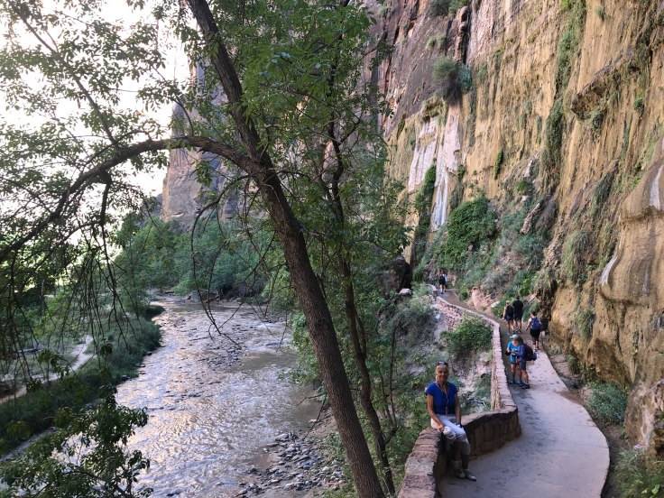
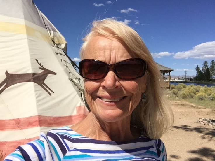
Slow, quiet day today. We need one of these every now and then…
We slept in, caught up on the blog, and read the newspaper; we walked around a bit…
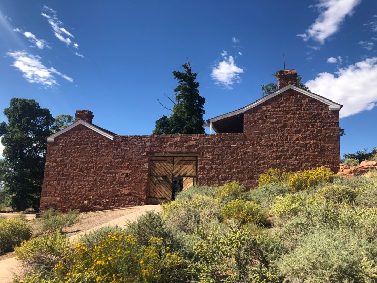
We did walk across the street to the Pipe Springs National Monument… It is an historic site documenting the life and times of the Mormons in this area. The irony is that these 40 acres are in the middle of the Kaibab Paiute Reservation…
The Indians, of course, have been in this area forever.
The water of Pipe Spring has made it possible for plants, animals, and people to live in this dry desert region. Ancestral Puebloans and Kaibab Paiute Indians gathered grass seeds, hunted animals, and raised crops near the springs for at least 1,000 years. The land at that time was rich is grasses, not desert sand as it is today…
In the 1860s Mormon pioneers from St. George, Utah, led by James M. Whitmore brought cattle to the area, and a large cattle ranching operation was established. In 1866 the Apache, Navajo and Paiute tribes of the region joined the Utes for the Black Hawk War, and they raided Pipe Spring and killed Mr. Whitmore and his ranch foreman. The ranch was later purchased by Brigham Young for The Church of Jesus Christ of Latter-day Saints (Mormon Church), and a fort was built over the top of Pipe Spring. The LDS Bishop of nearby Grafton, Utah, Anson Perry Winsor, was hired to operate the ranch and maintain the fort, soon called “Winsor Castle”. This isolated outpost served as a way station for people traveling across the Arizona Strip, that part of Arizona separated from the rest of the state by the Grand Canyon.
The main function of the ranch was to accept tithes from the local Mormons, in the form of cows, chickens, etc. The ranch fed the animals, and milked the cows and made cheese, and shipped it all off on weekly trips to St. George, Utah.
The Pipe Spring area also served as a refuge for polygamist wives during the 1880s and 1890s. The LDS Church lost ownership of the property through penalties involved in the federal Edmunds-Tucker (Anti-Polygamy) Act of 1887.
In the mean time, overgrazing from as many as 100,000 cattle decimated the grasslands; the topsoil soon blew away, and the land was left with the desert sand and sagebrush we see today. There are attempts in the area, through better grazing practices, to bring back the grasslands.
As the Mormons took over the ranch lands, the local Indians were deprived of their main water source, and times were hard on the Paiute. However, they continued to live in the area and by 1907 the Kaibab Paiute Indian Reservation was established, surrounding the privately owned Pipe Spring ranch. In 1923, the Pipe Spring ranch was purchased and set aside as a national monument to be a memorial to western pioneer life.
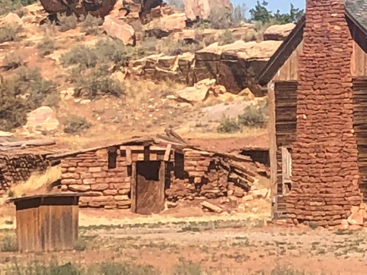
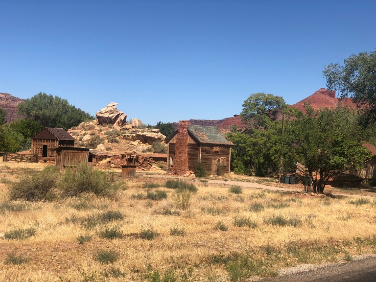
The Winsor Castle has been restored, as well as several smaller cabins. The tours are very informative, and “living history” is on view in the form of a lady demonstrating the use of a spinning wheel, and a blacksmith using a primitive forge.
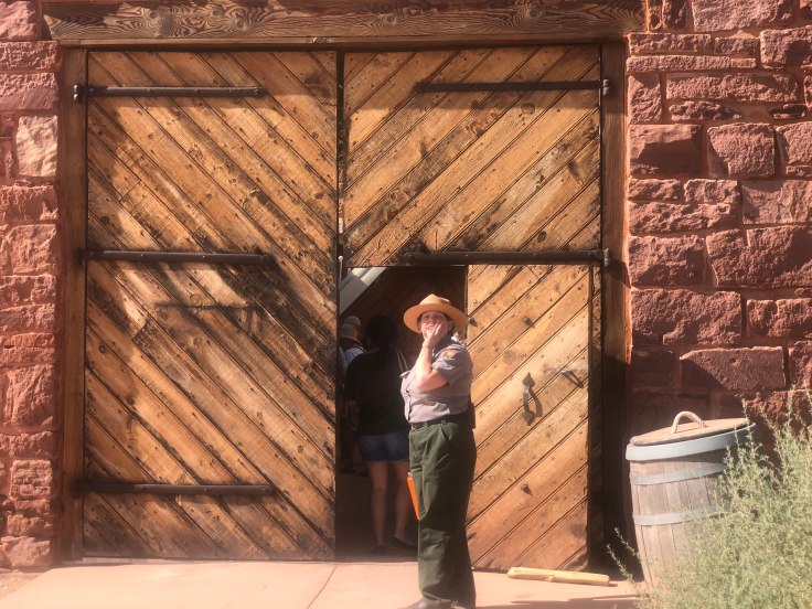
This is Winsor Castle… We were met at the entrance by the NPS tour guide…

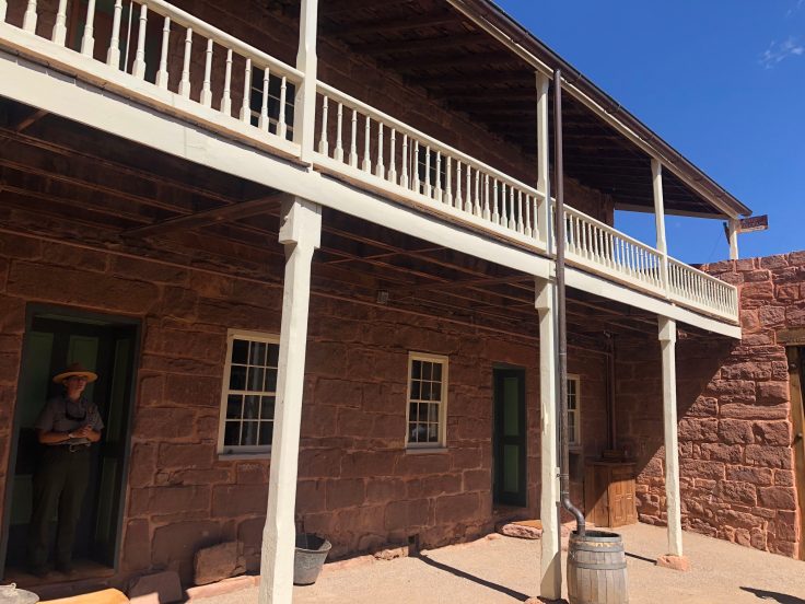
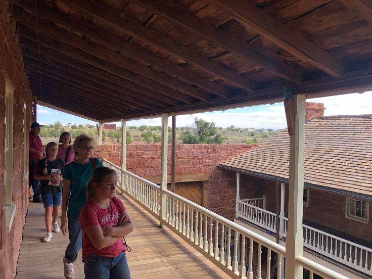
The interior of the castle are typical of a well-made outpost such as this…


This is the entrance to the Spring Room. The spring water ran through here, keeping the room at about 55 degrees (perfect for wine, but these were Mormons living here…).

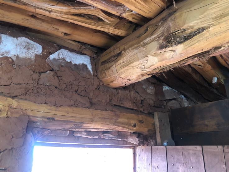
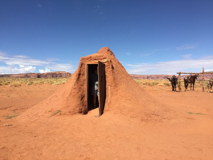
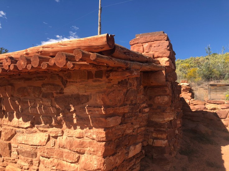
We saw some of the out-buildings and cabins for visitors… Interesting earthen roof…


We watched the spinning wheel lady doing her thing…


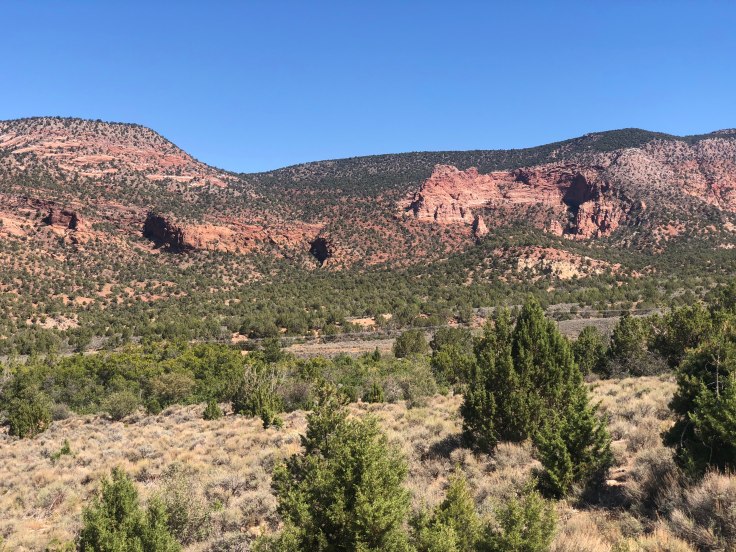
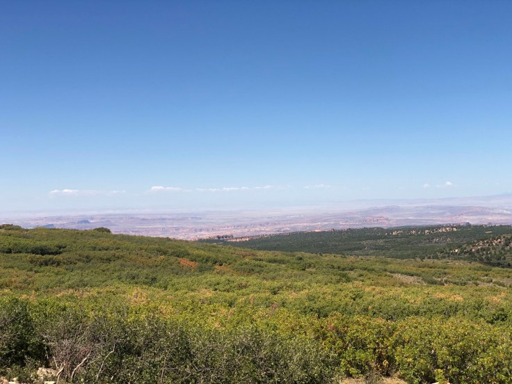
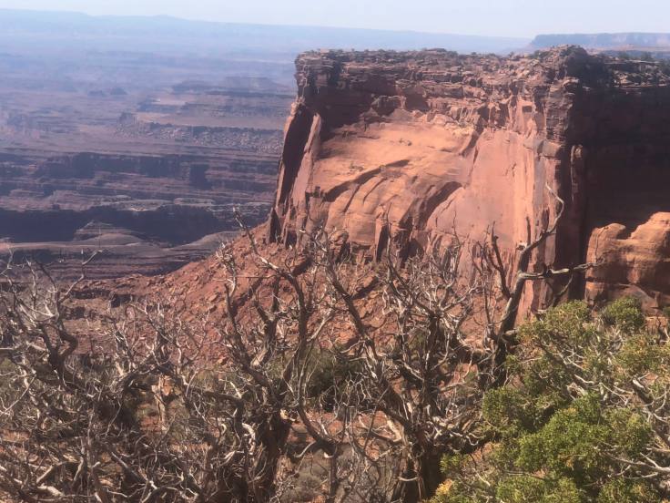
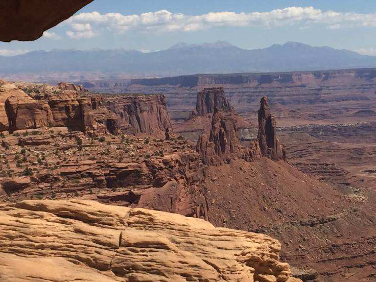
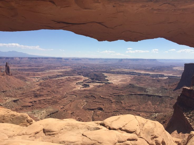
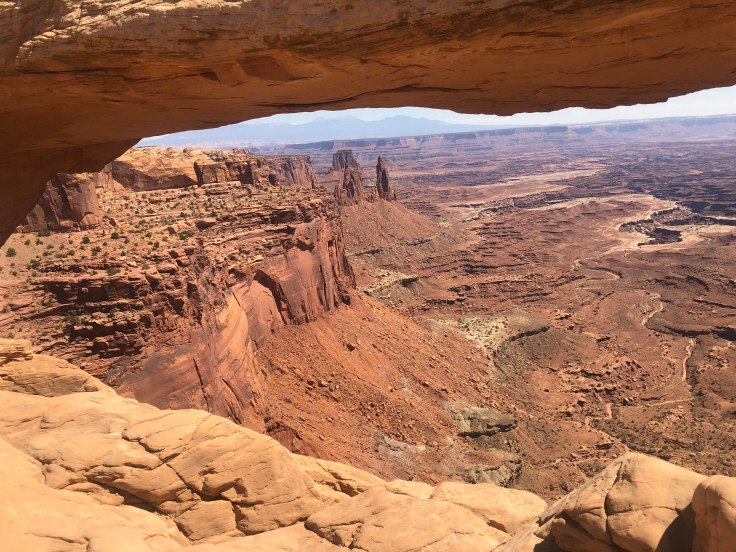
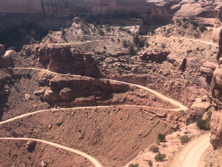
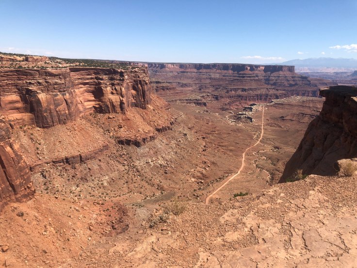
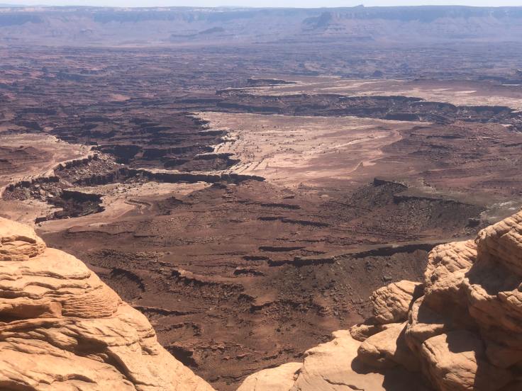
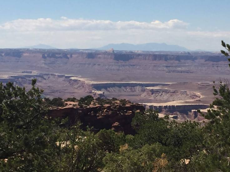
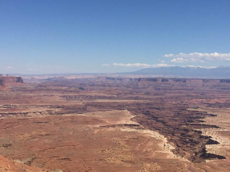
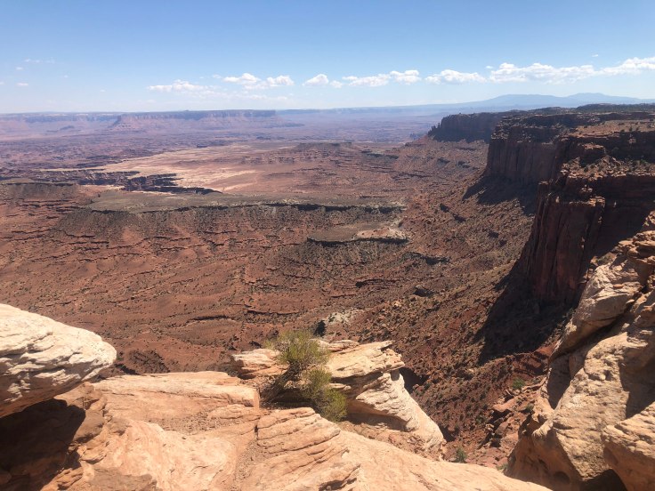
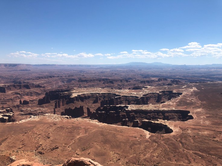
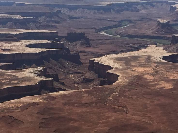
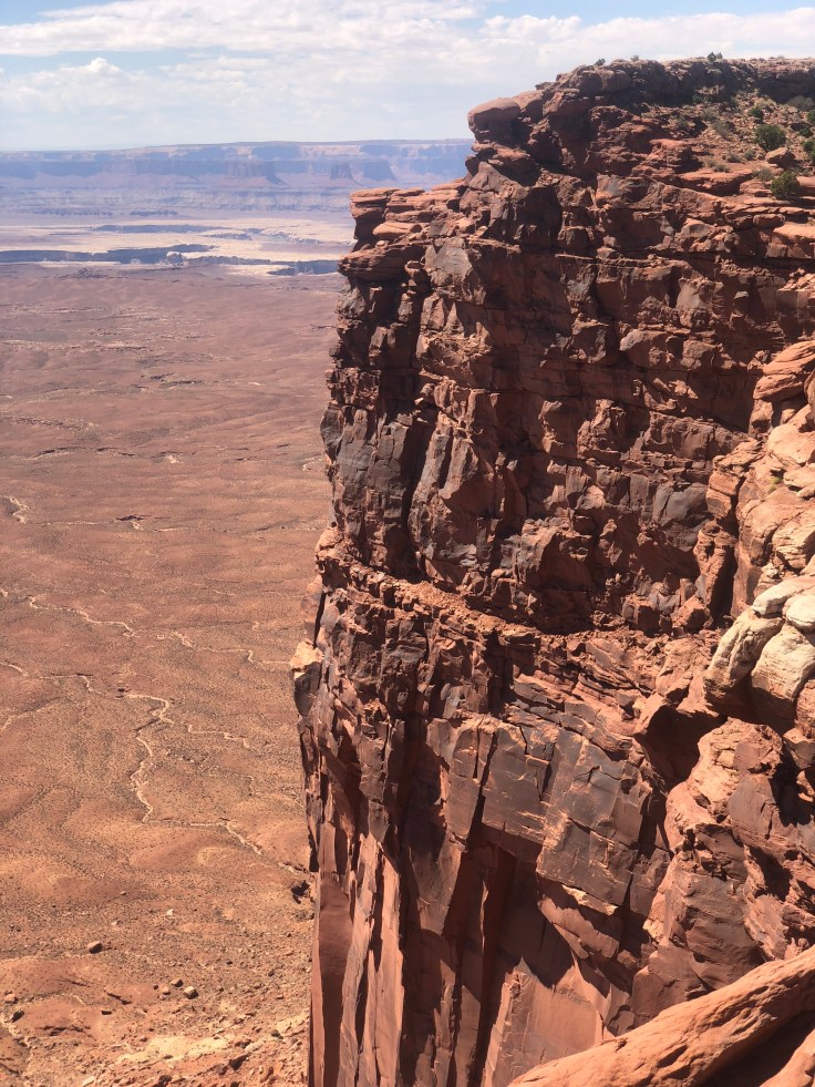
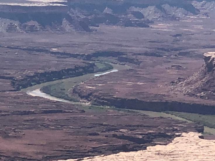
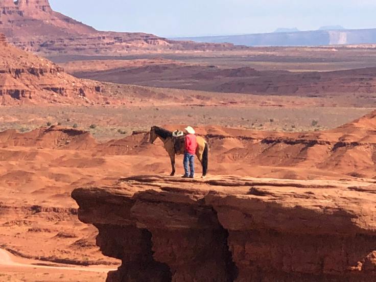
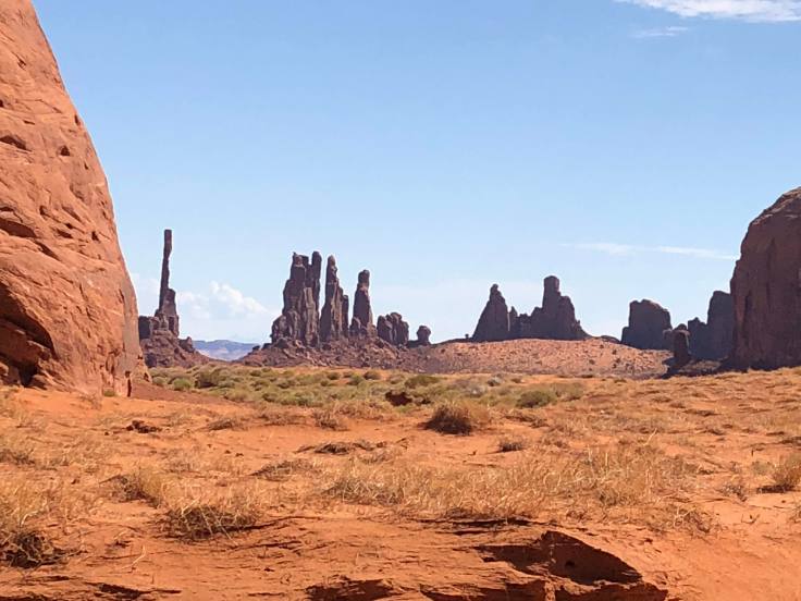
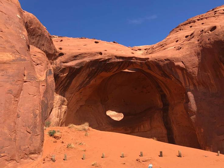
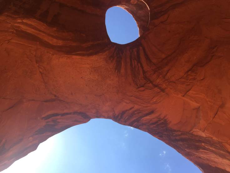
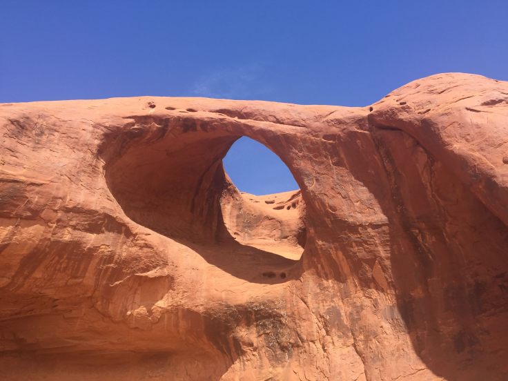
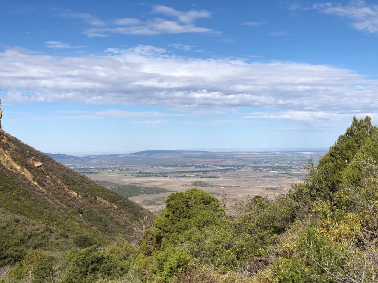
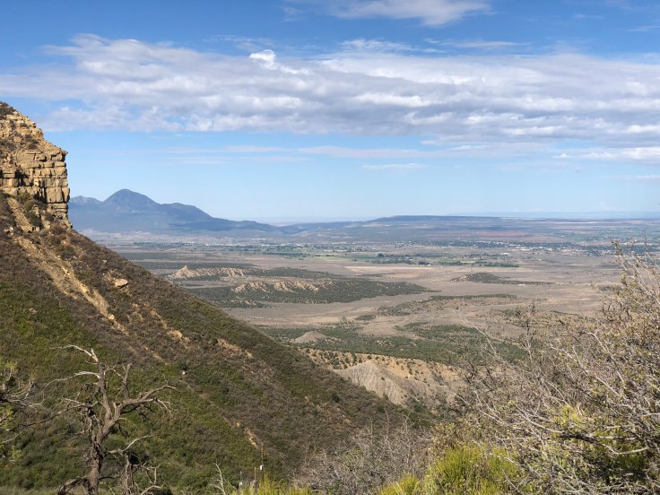
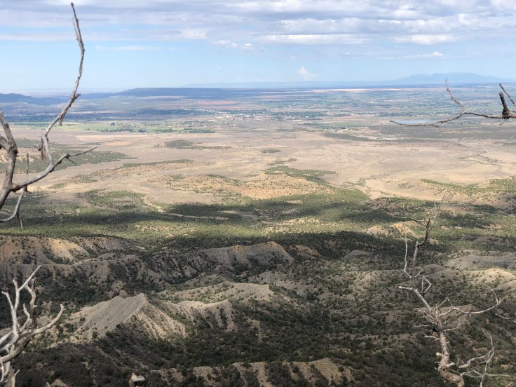
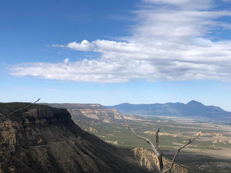
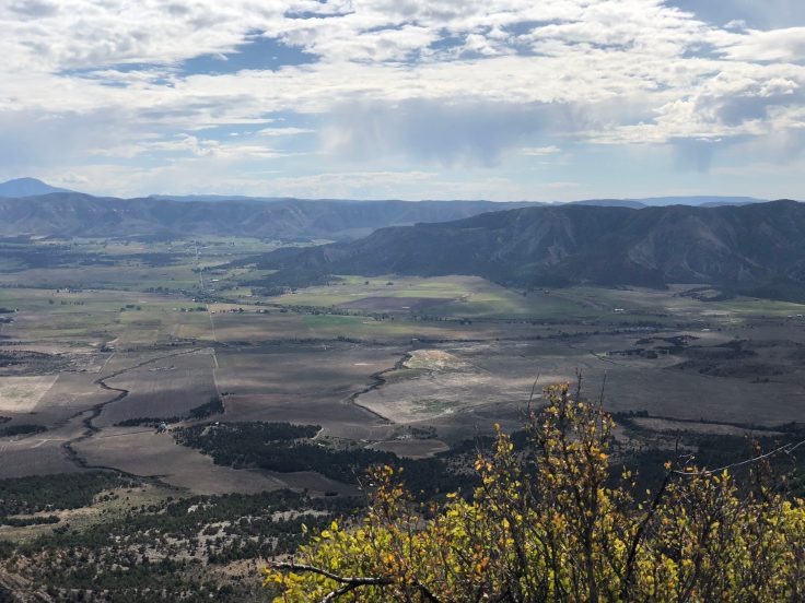
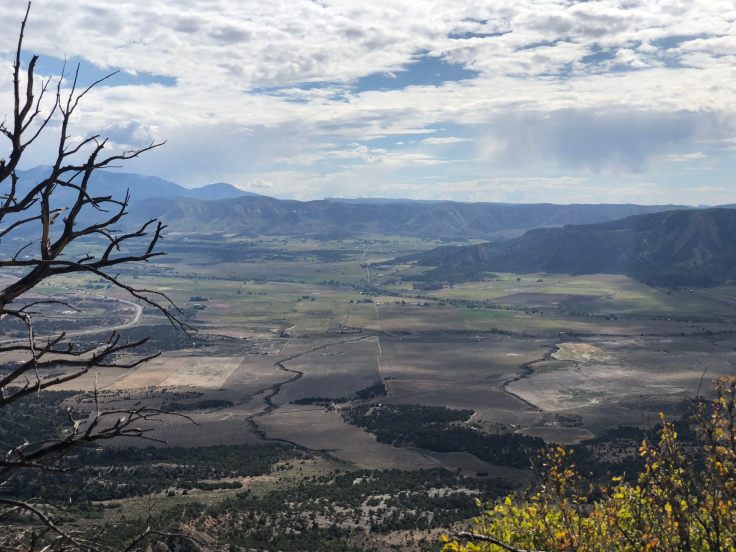
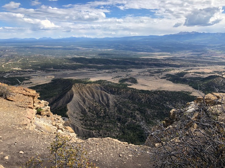
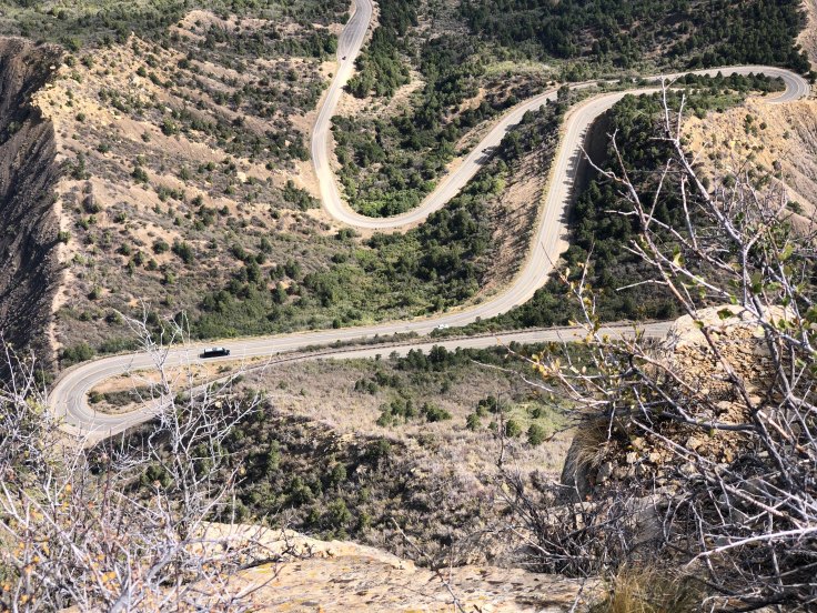
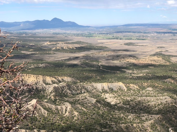
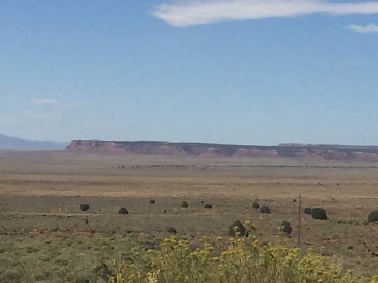
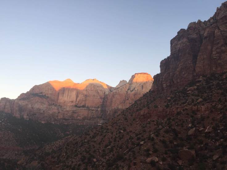
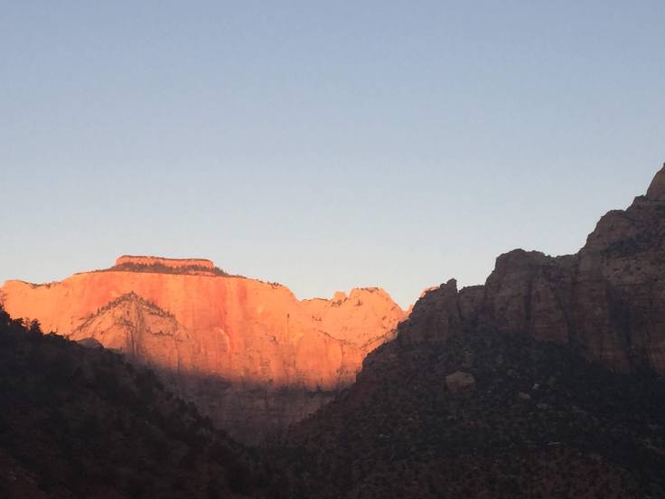
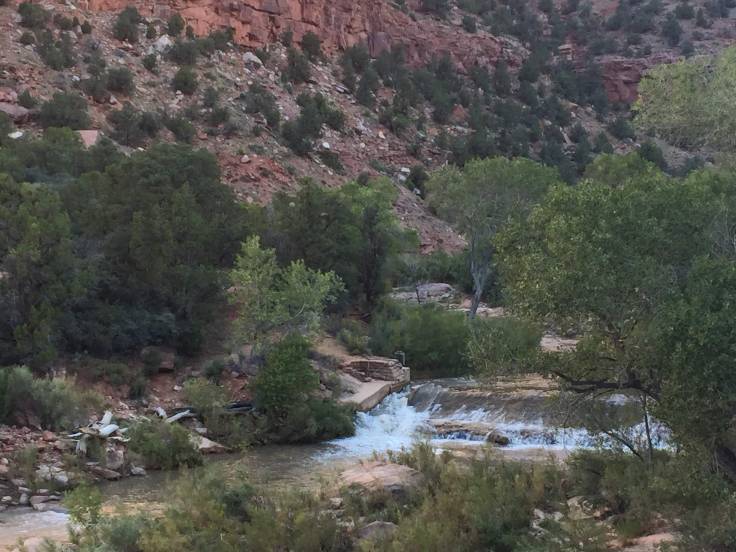
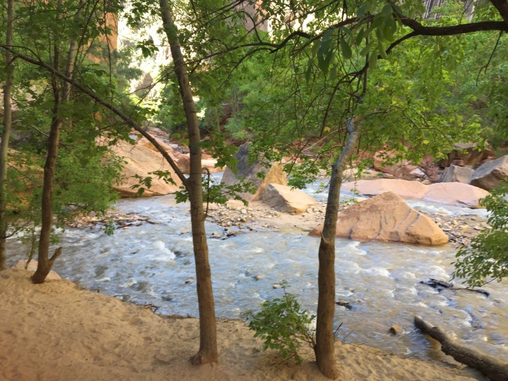
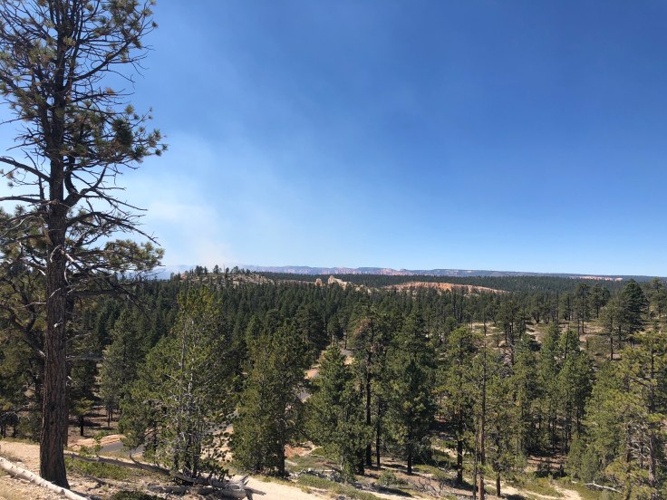
The view of the area known as the Arizona Strip… More on this tomorrow…
After a few hours we walked back to the RV Park and relaxed and did laundry…
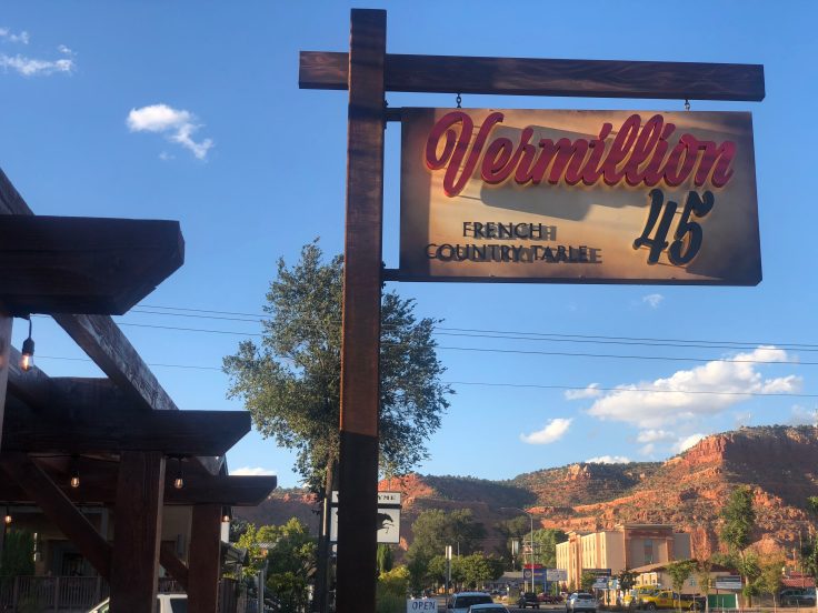
We drove to Kanab for dinner at a very nice, and very busy, French Restaurant. It has only been open for 6 weeks. We wished we could have spoken with the proprietor and learn more, but as I said, it was packed – on a Wednesday evening…!
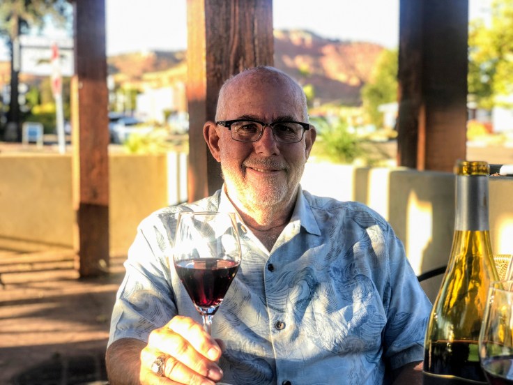
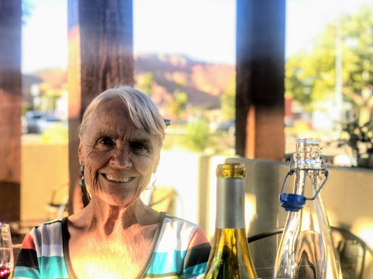
And an enjoyable time was had by all…


 We emerged from the tunnel… and we were on our way…
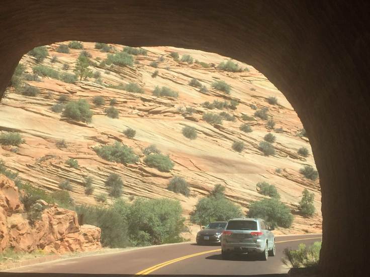


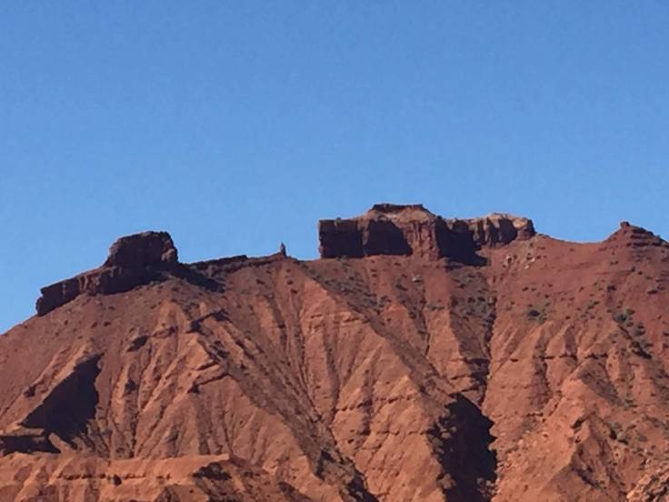
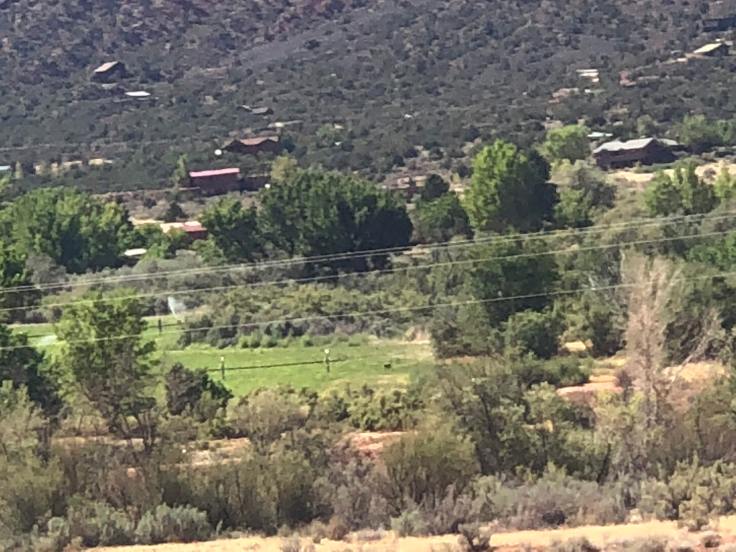
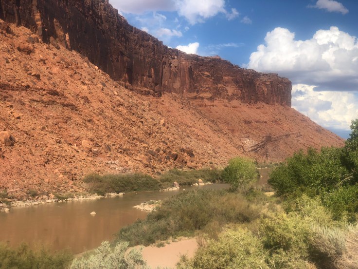
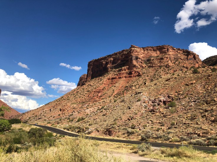
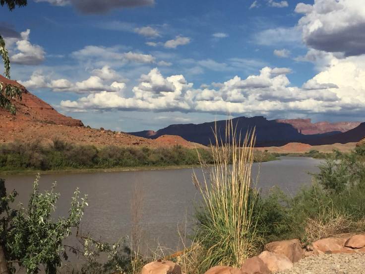
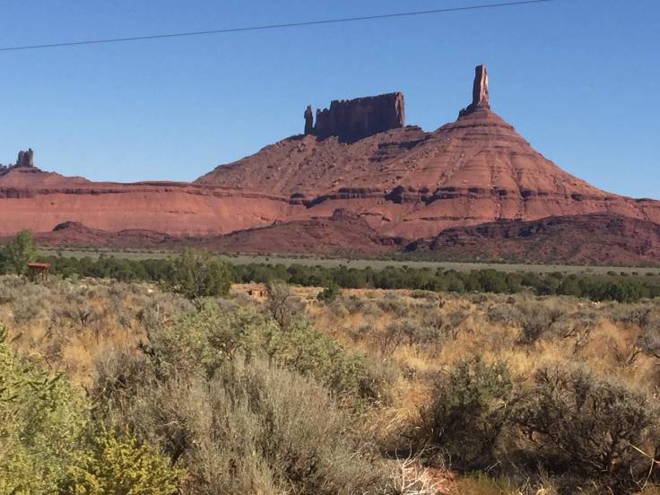 About 4 miles in we turned off into Castle Valley, a semi-residential area. This valley is unlike anything we have seen in Utah. All green – even the rock-faced mountains…