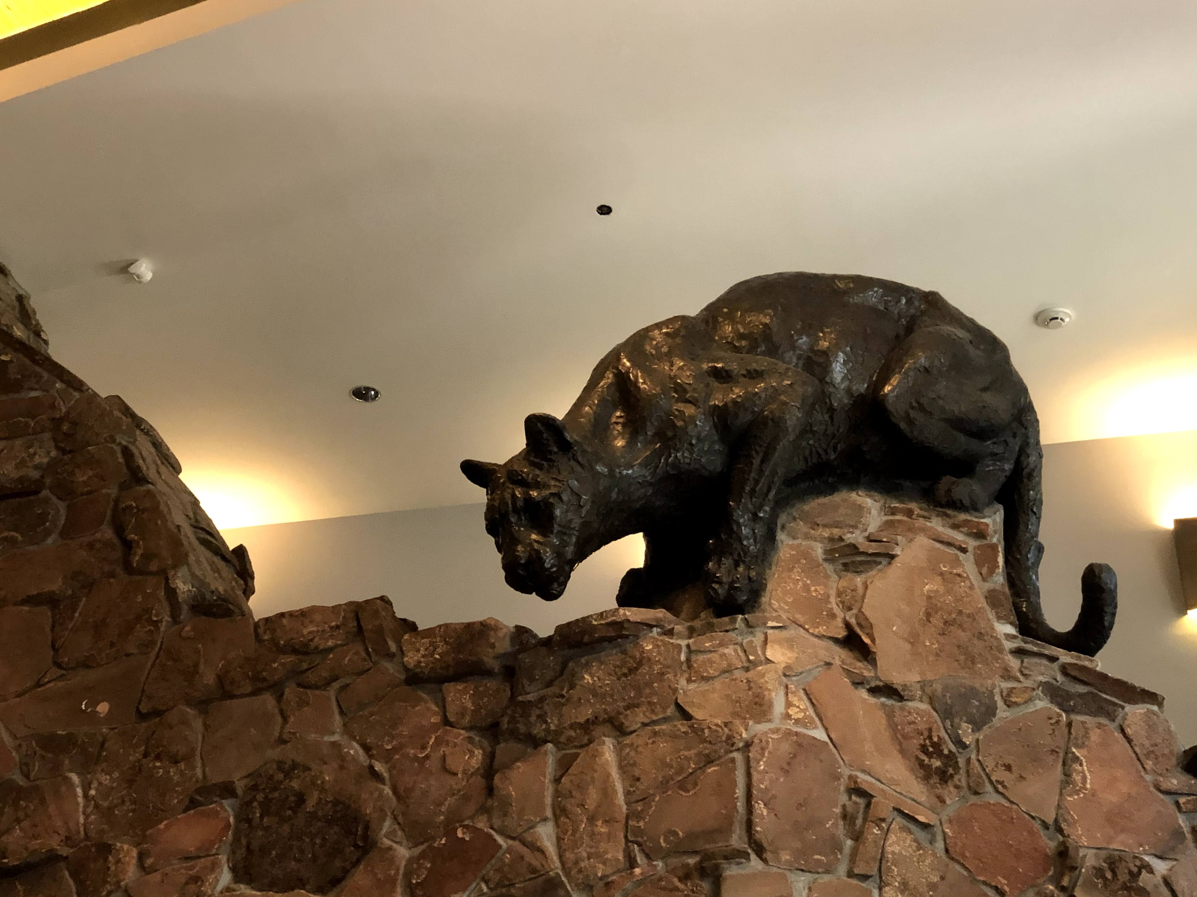
Today we visited the National Museum of Wildlife Art, just outside Jackson…
The museum, as its name suggests, if chock full of wildlife art, including paintings, sculptures, videos, etc. The museum’s best feature, however, is that it has great cellular service; I brought along my laptop and updated a few things in the parking lot before our visit began…
Wildlife art is not something to which I am particularly attracted . However, there was one video display that had three screens. The wall on which the videos were projected is black, and the videos, all of wild animals caught on camera, were shown in black and white, except reversed. It was quite ethereal and captivating… I could have spent much more time watching.
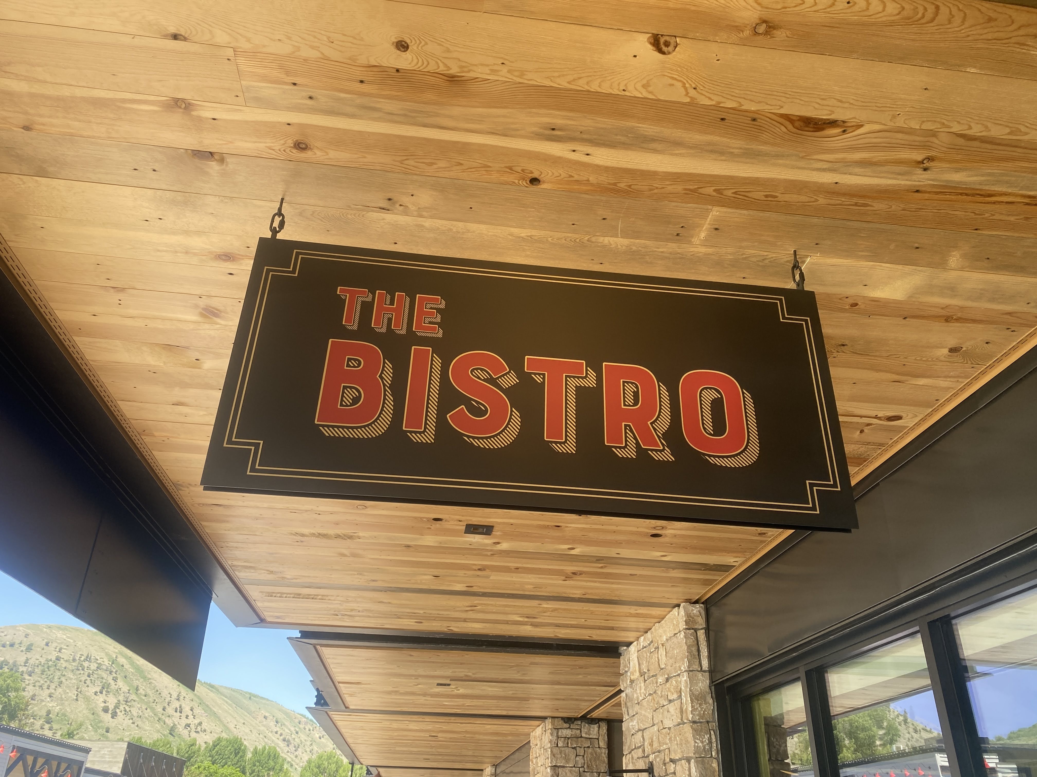
But it’s lunch time. We drove into Jackson and found a great French Bistro…
We dined on Buffalo Steak Tartare, Moules Frites, and Duck Croque Monsieur… And a very nice Vacqueyras wine…
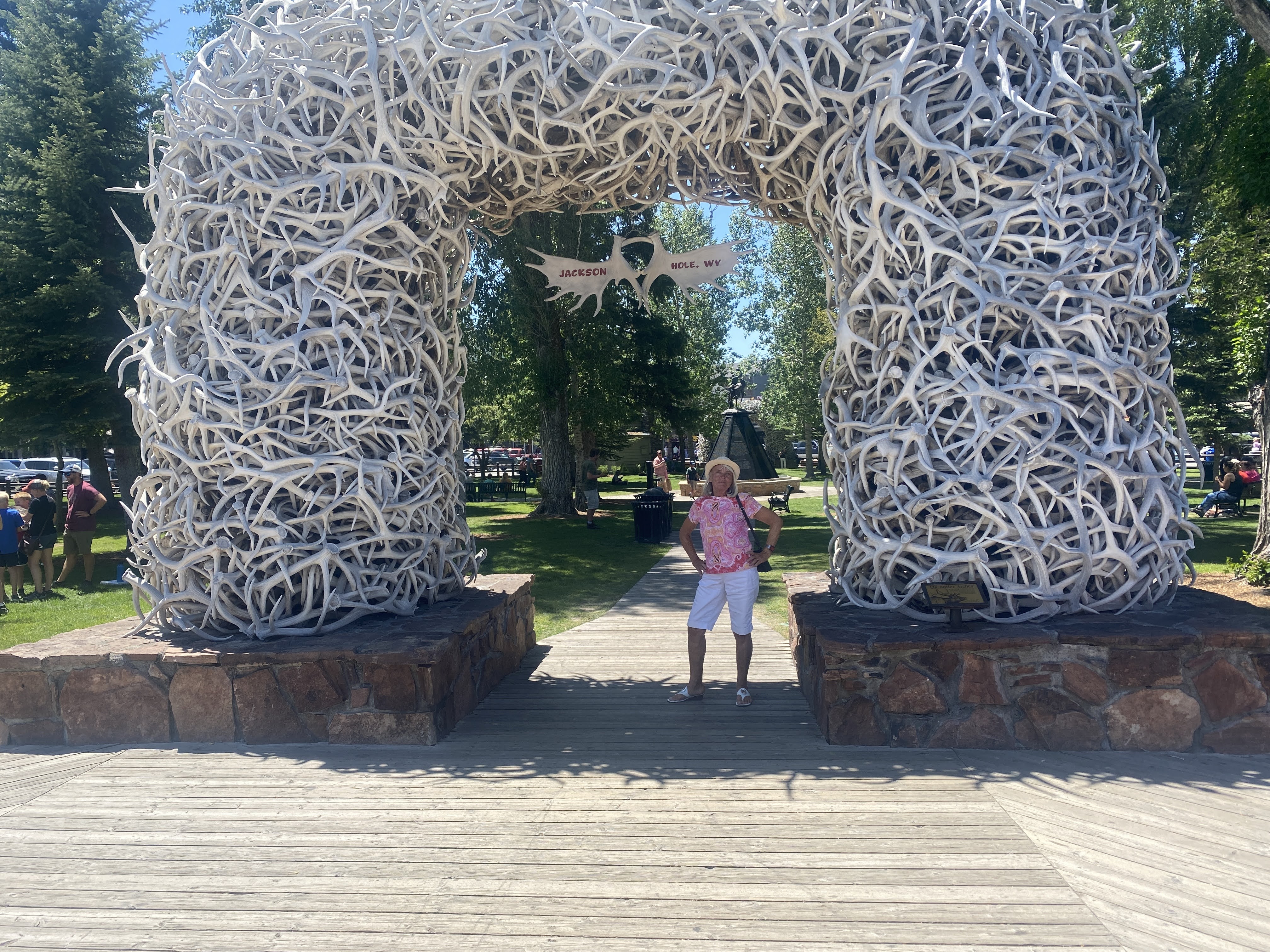
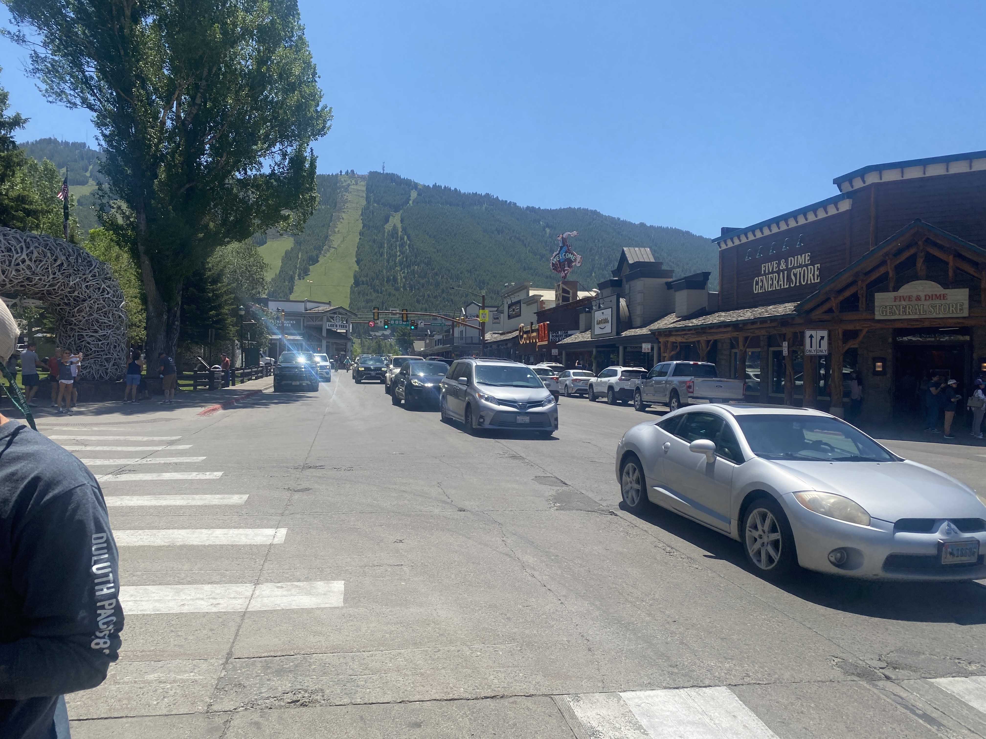
After lunch we walked around Jackson. Crammed with tourists. The central park square has one of these corny antler arches at each corner… tourists swarm to get their pictures taken in front of one of the arches…
Back at the RV Park, we took a walk out a small peninsula in Jackson Lake adjacent to the Marina…
Back at the Villa we had the sandwiches that were given the first day here, and another nice bottle of wine…
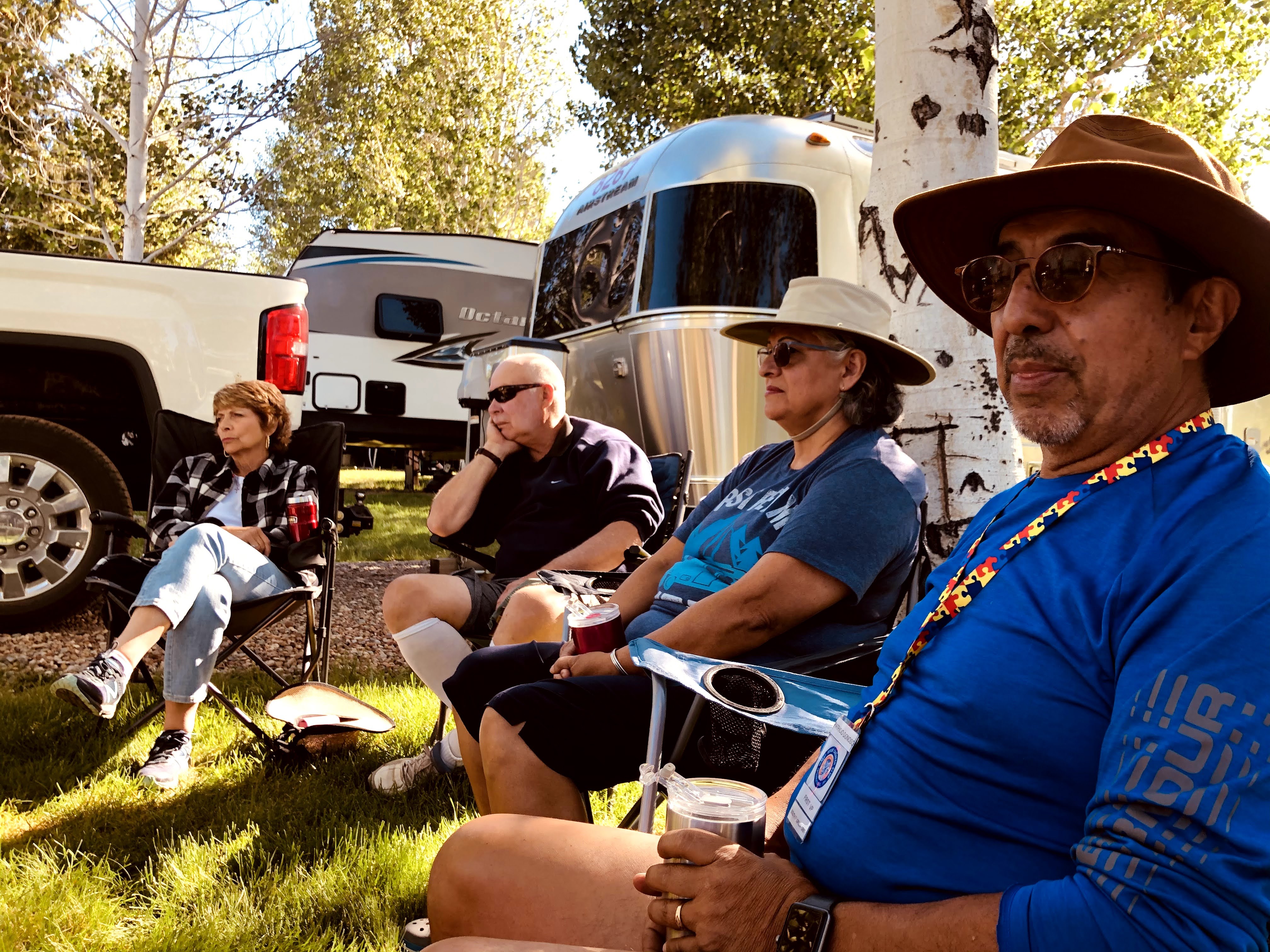
We are Parkers! Every caravan assigns various duties as needed throughout the caravan. In the past we have been parkers, de-parkers, singers, and Grace-sayer…
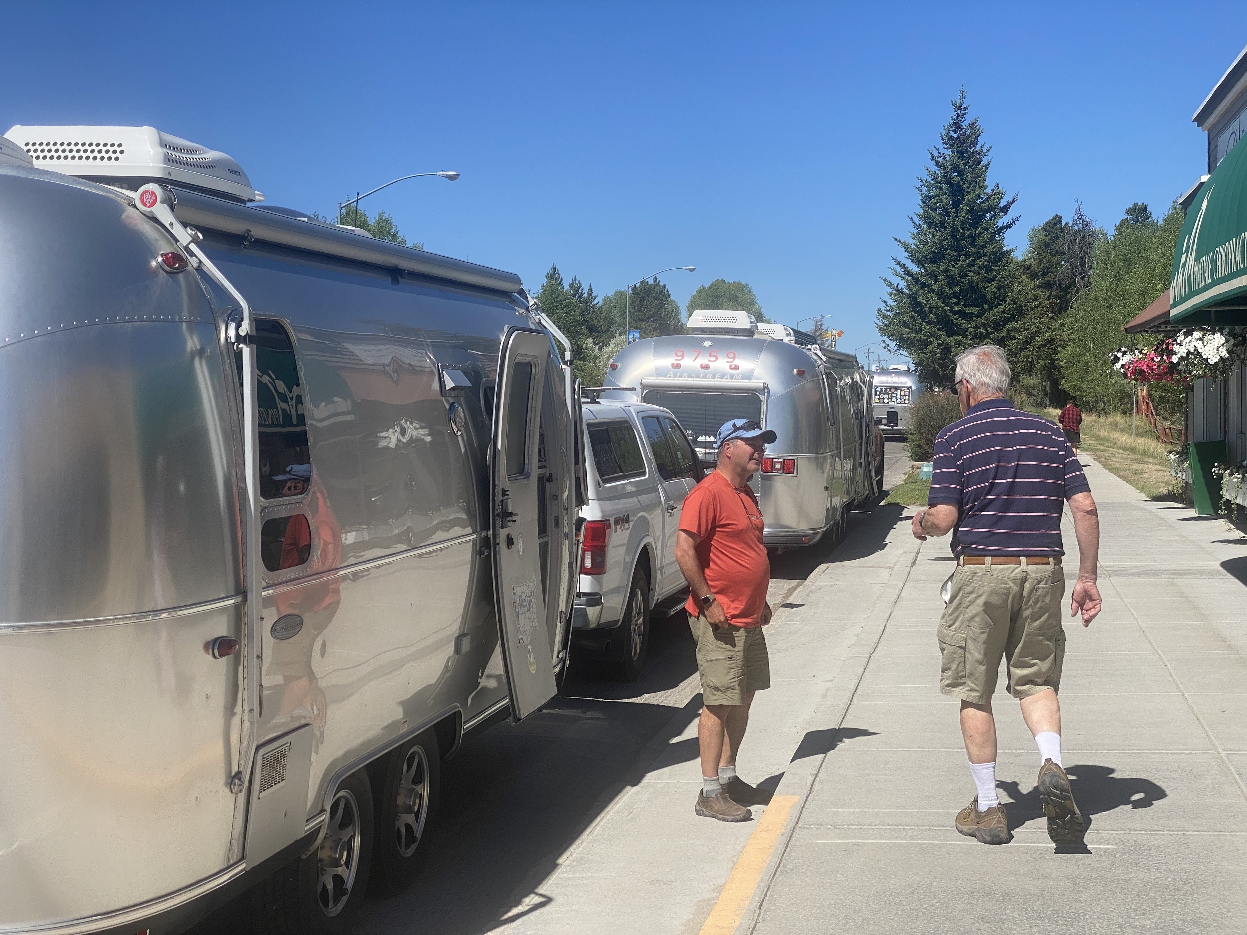
Today we are parkers. That means we need to leave extra early , arriving extra early at the next RV park, so that we can assign campsites to the various caravaners before they arrive and help them find their sites when they do arrive…
We left at 7:00 am. Today will be the longest travel time on the caravan… 290 miles!
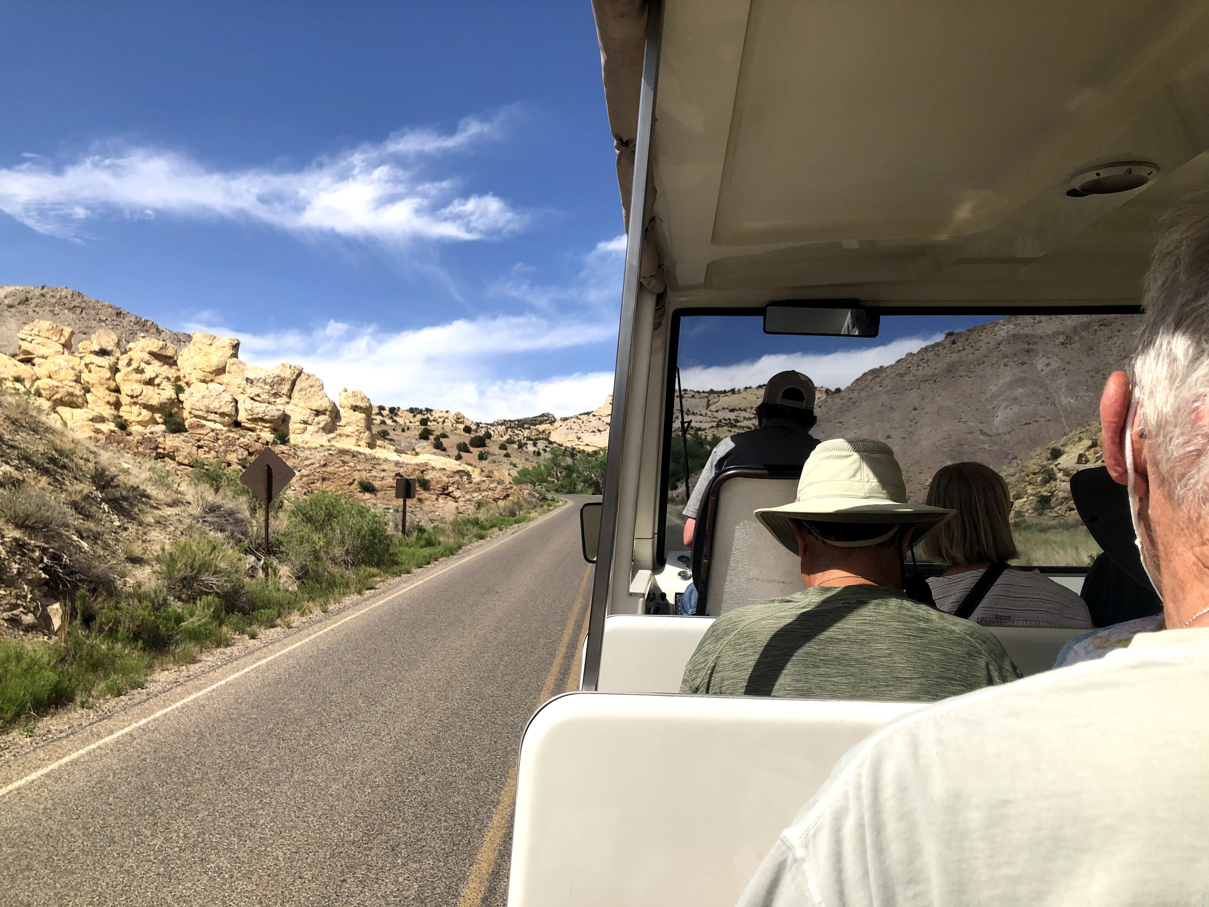
We were following one of the Co-leaders… You will see a lot of pictures of his rear-end…
We traveled north across northern Utah, and somewhere (we don’t know where…) we crossed over into Wyoming…
We stopped briefly to stretch our legs and buy some groceries…
We continued north through Wyoming…
We started to see evidence of mountains ahead…
We stopped again in the small town of Pinedale, WY…
Looks like a great place for lunch, but we had no time!
We finally arrived at Jackson, WY, the main town in Jackson Hole. What a touristy mess!
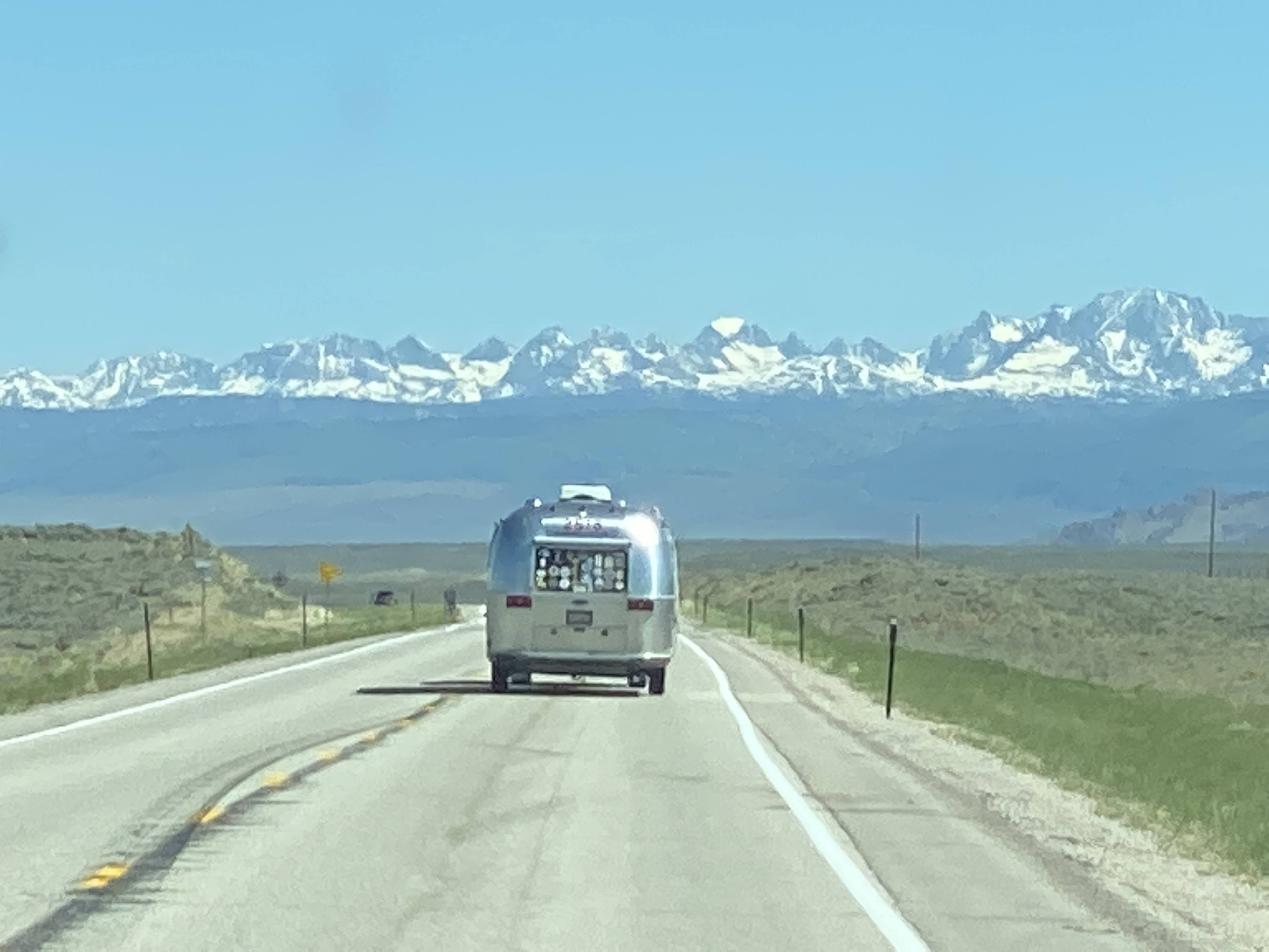
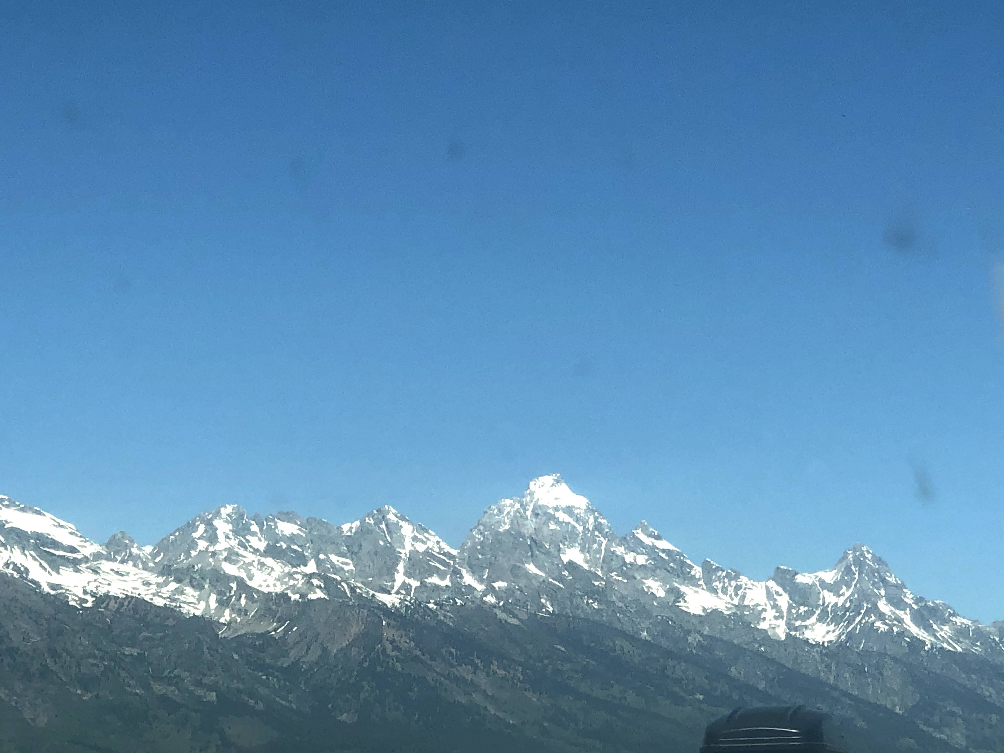
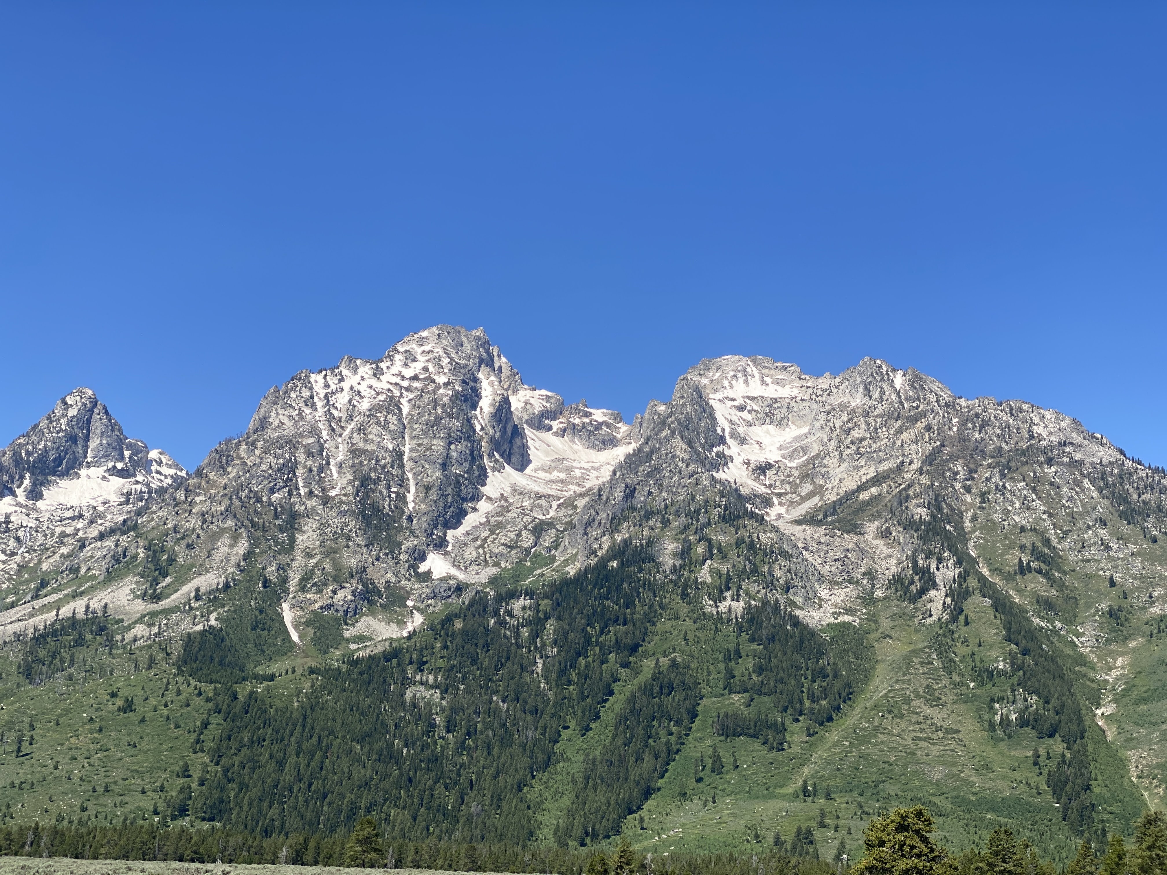
Leaving Jackson, we now viewed the Grand Tetons in all their glory!
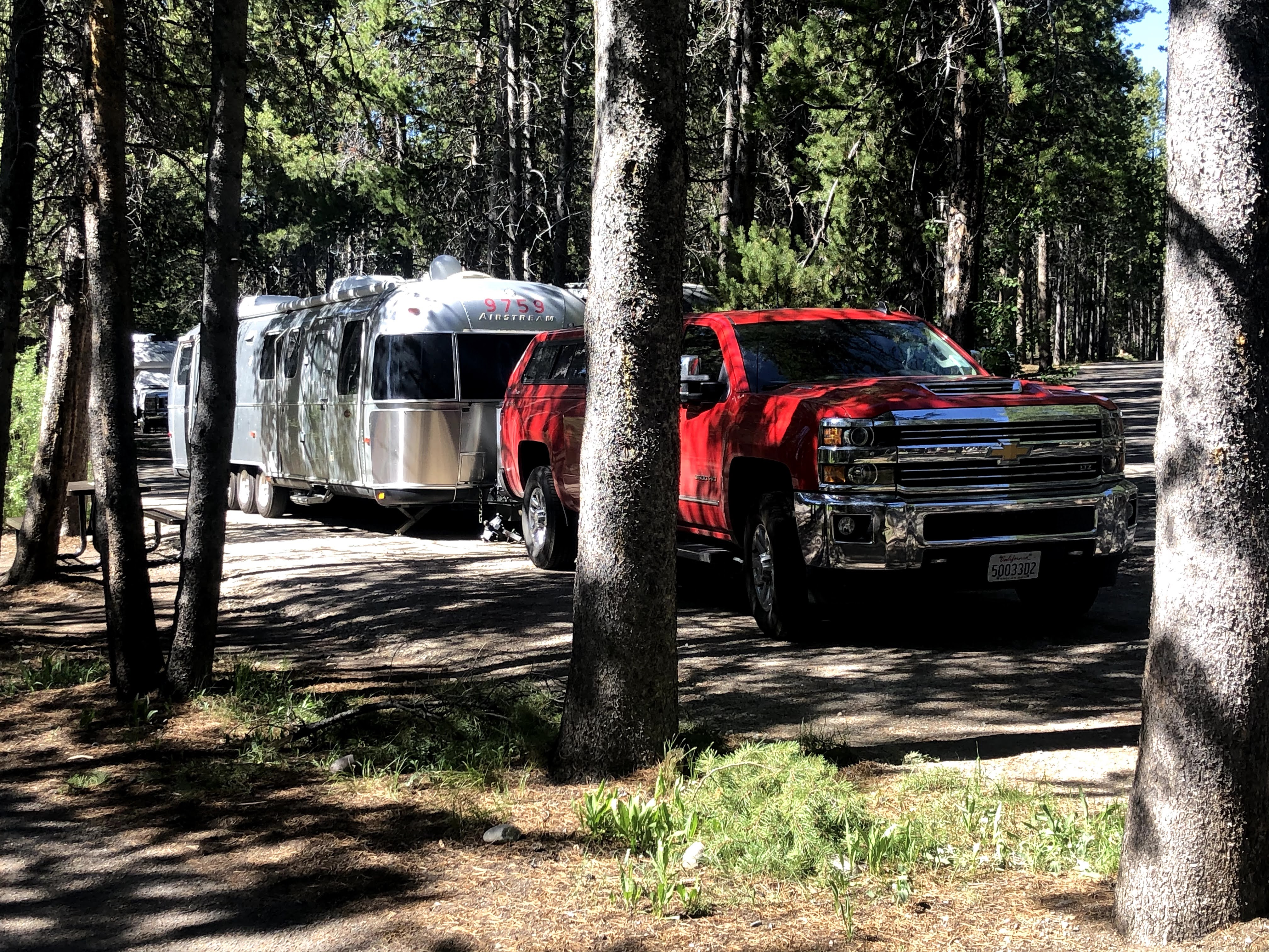
We parked the Villa in our assigned site, then showed up for our parking duties…
We had a flagger, to flag in the Airstreamers so that they did not miss the park and have to drive all around the world again to find it… Some of us handed out sandwiches, others gave directions and site numbers, and others kept track of who had arrived and who was still on the road…
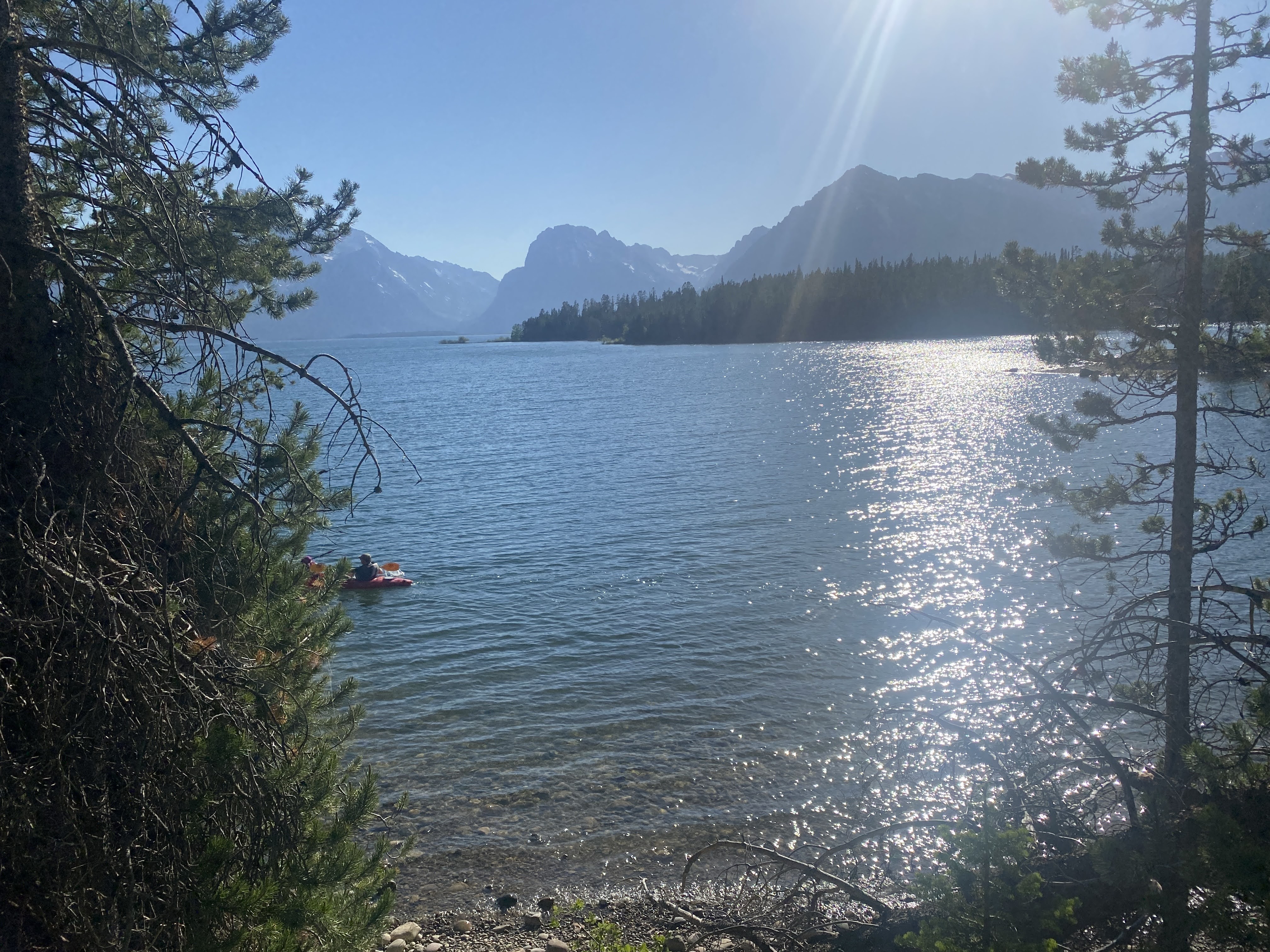
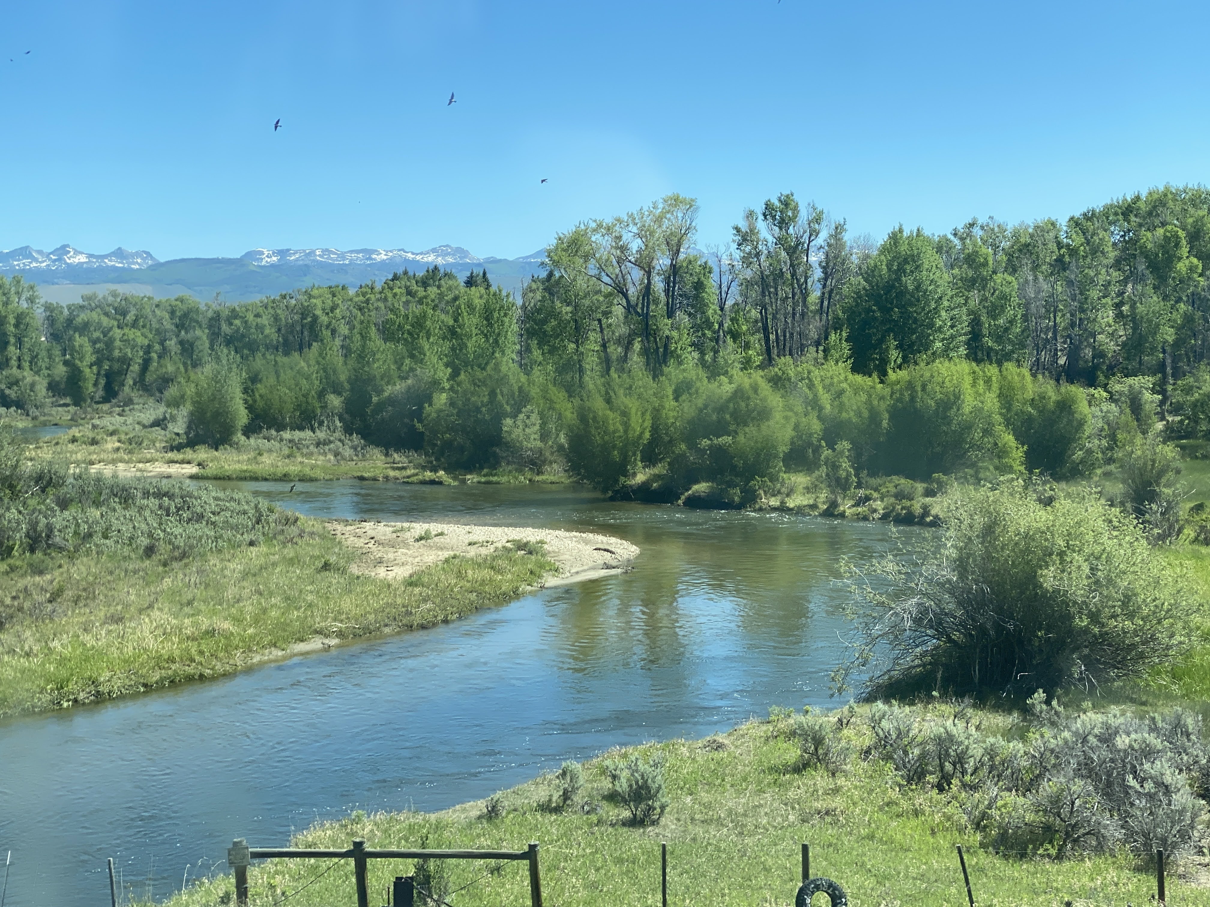
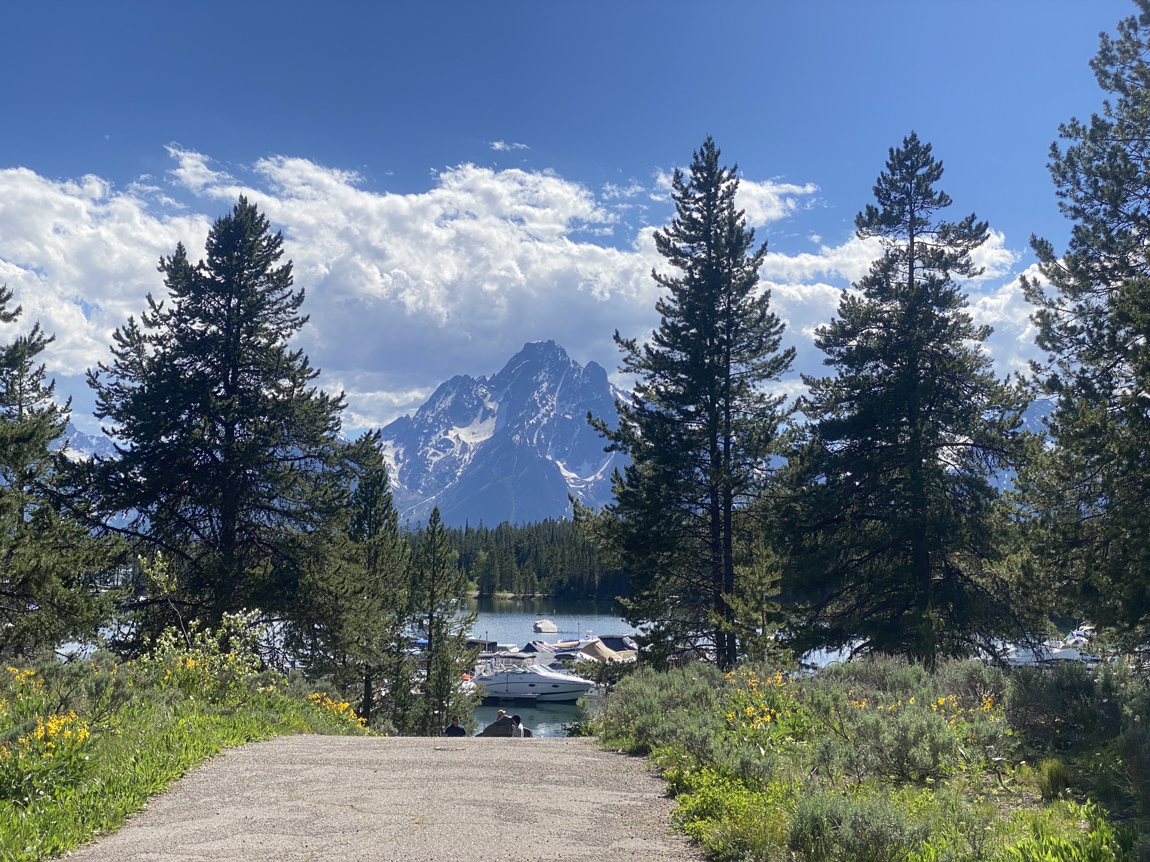
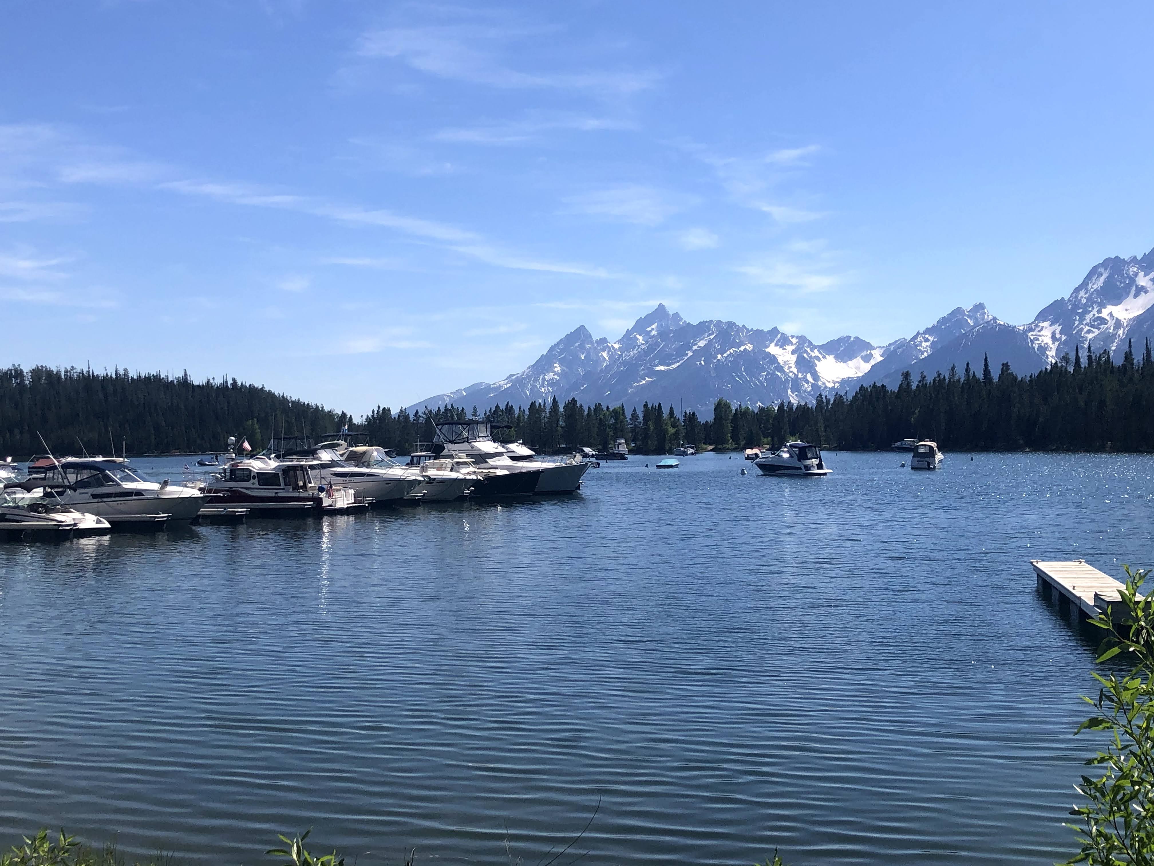
After our parking duties were over, we walked about. We are parked right on Jackson Lake. This is the marina, with the Tetons byond…
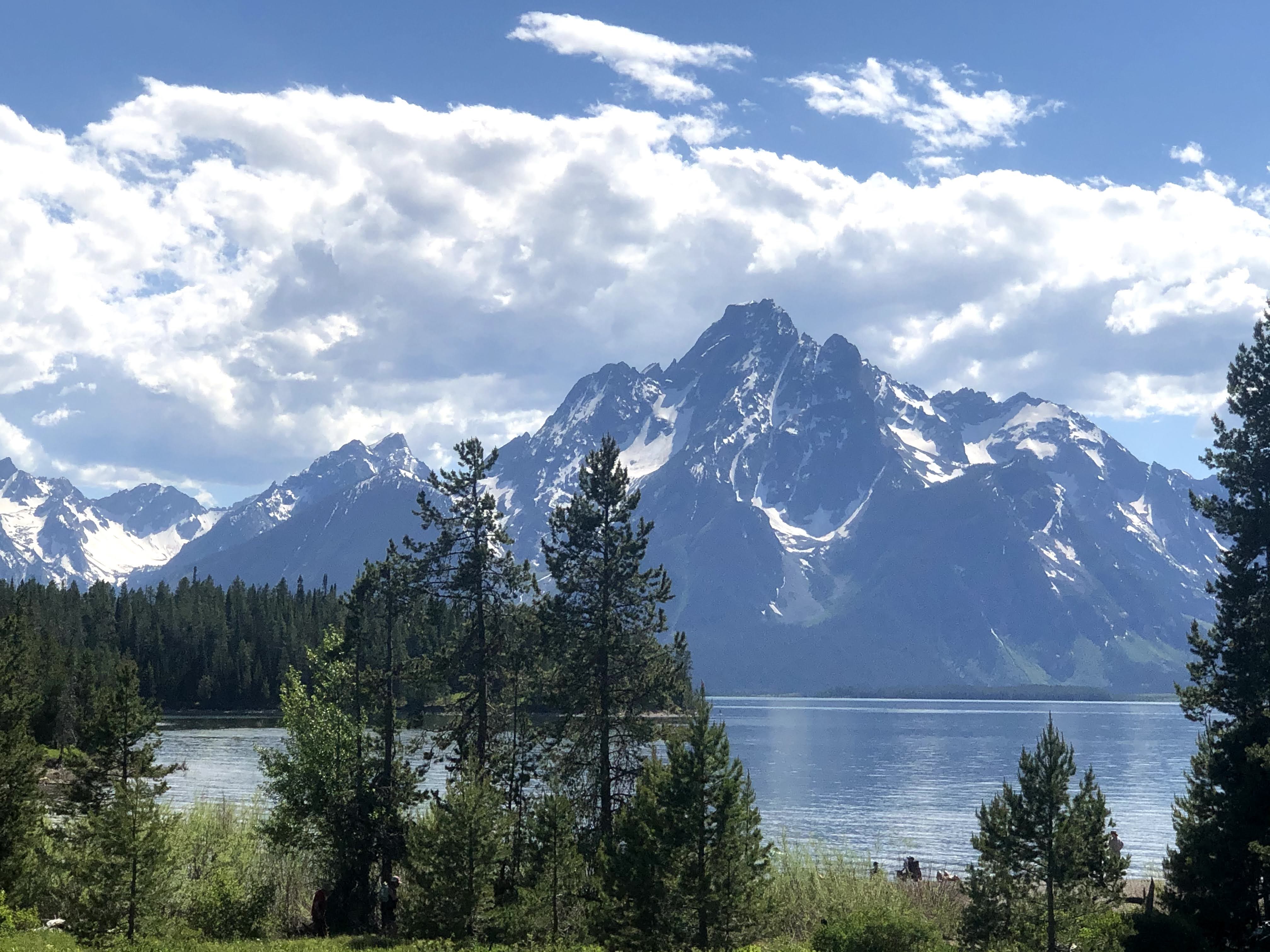
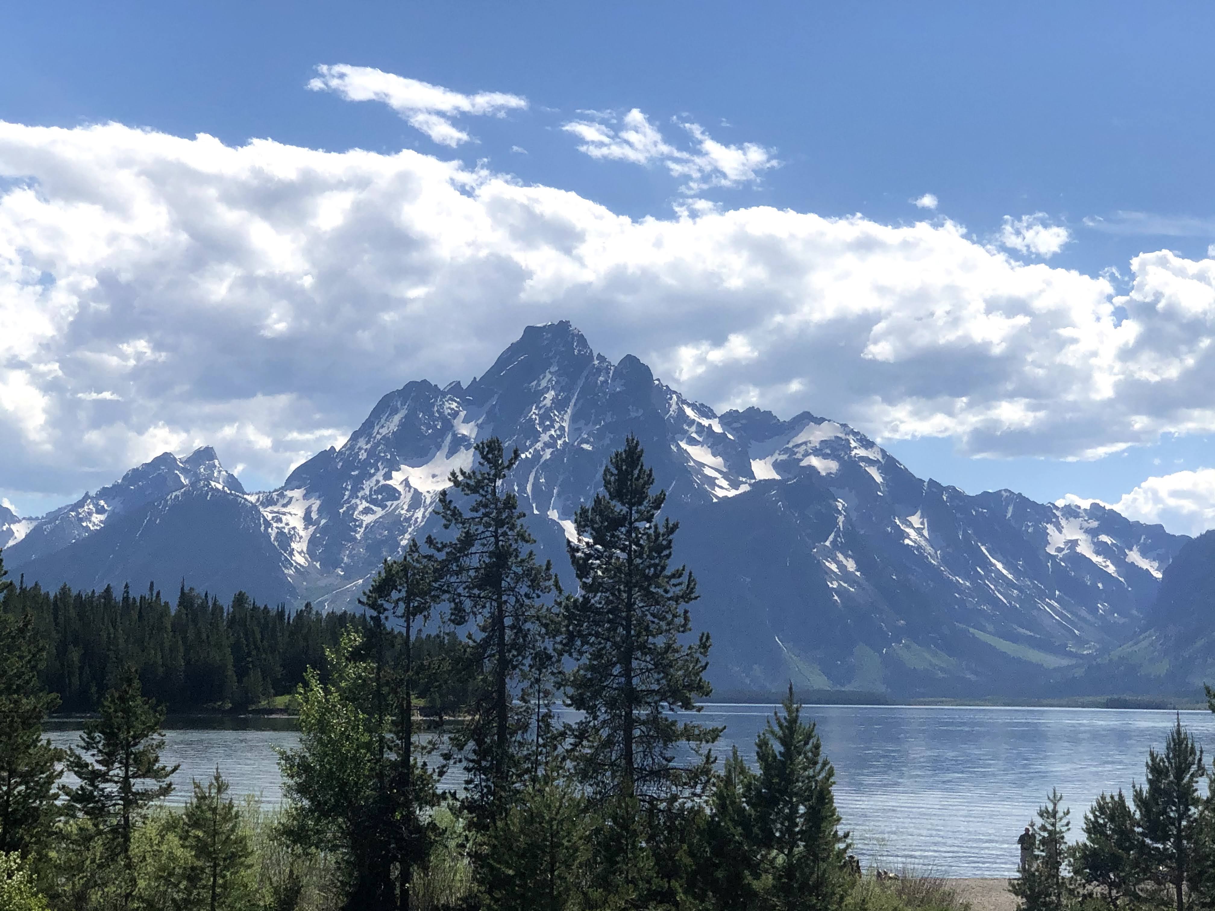
This is just above the swimming beach, on Jackson Lake.
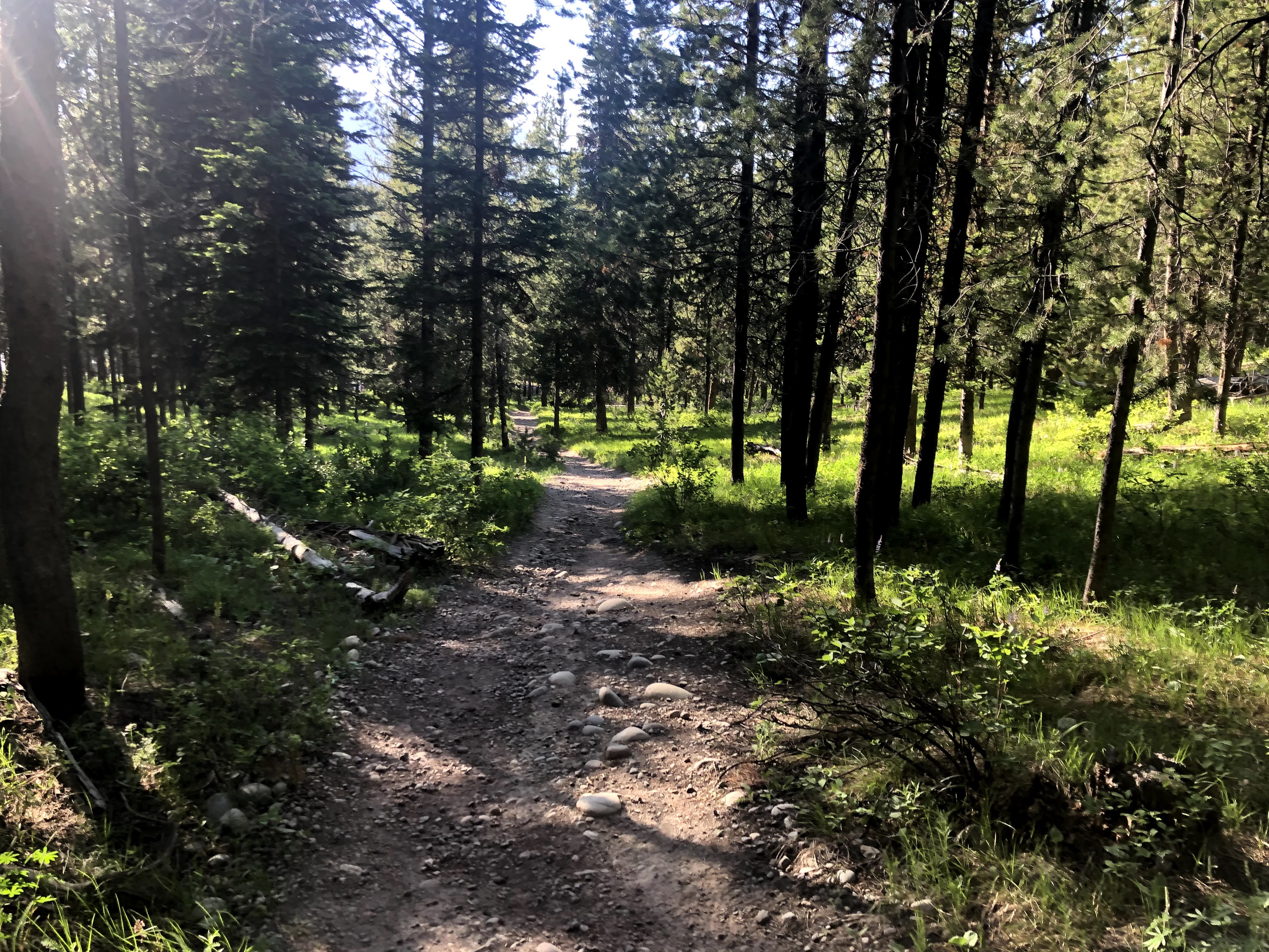
Our campsite, naturally, is in the trees. No internet, no satellite TV. No TV of any kind…
We had a meeting with the Ranger to explain to us the rules, mostly rules on how not to get eaten by a bear…
We returned to the Villa. No power. Half the park is out…
We had an early dinner and turned in early. (Power came back on at about 9:30…)
Exciting Day Today! Our four grandchildren are all starting “school” today! Roisin and Ian go to Spanish Camp; George and Evelyn go to all day preschool! After dropping them off, our daughter, Erin, will do nothing. Or something. Or whatever she wants…!
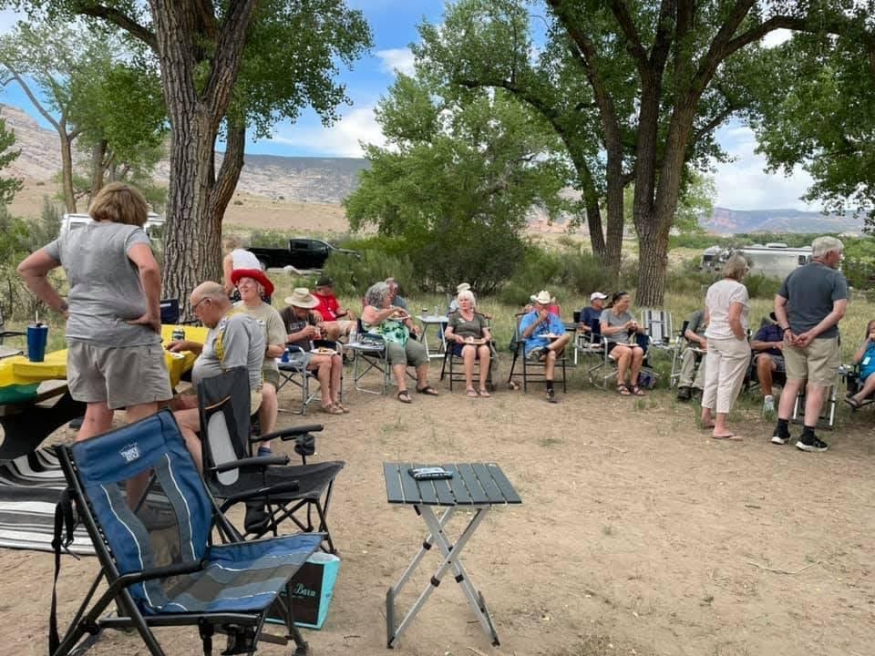
Back at the caravan, we started the day with a Ranger talk at the amphitheater adjacent to Jackson Lake…
We heard a brief history of the Park:
In the late 1920′ s John D. Rockefeller, Jr., with his family, visited Yellowstone National Park. They met with Horace Albright, the Superintendent of Yellowstone. He took the Rockefeller family through Yellowstone, and south into the Grand Tetons area. Albright was trying to get the Grand Tetons National Park expanded to include the valley. The mountain range had become a National Park in 1929, but the valley to the east, known as Jackson Hole, was cluttered with billboards, honky-tonks, and hotdog stands. JDR, Jr. took the bait. He formed the Snake River Land Company, and anonymously purchased 35,000 acres of land; he subsequently offered the land to the National Park Service. Due to various political reasons, the donation was denied. Finally, many years later, against public opinion, and with repeated Congressional efforts to repeal the measures, much of Jackson Hole was set aside for protection as Jackson Hole National Monument in 1943. The monument was abolished in 1950 and most of the monument land was added to Grand Teton National Park.
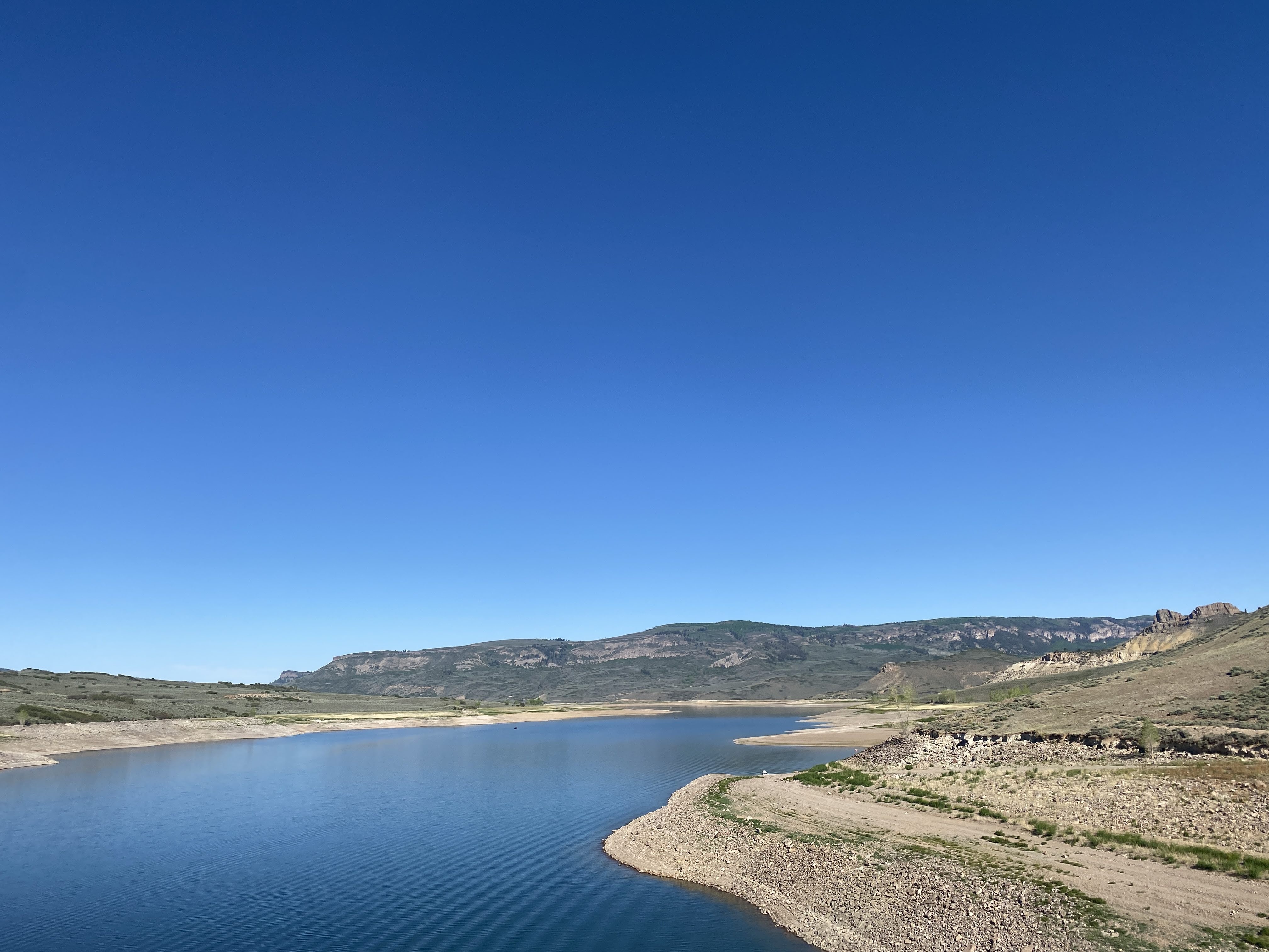
After we heard about the various sight-seeing options, we headed south… We stopped at the Jackson Lake Dam…
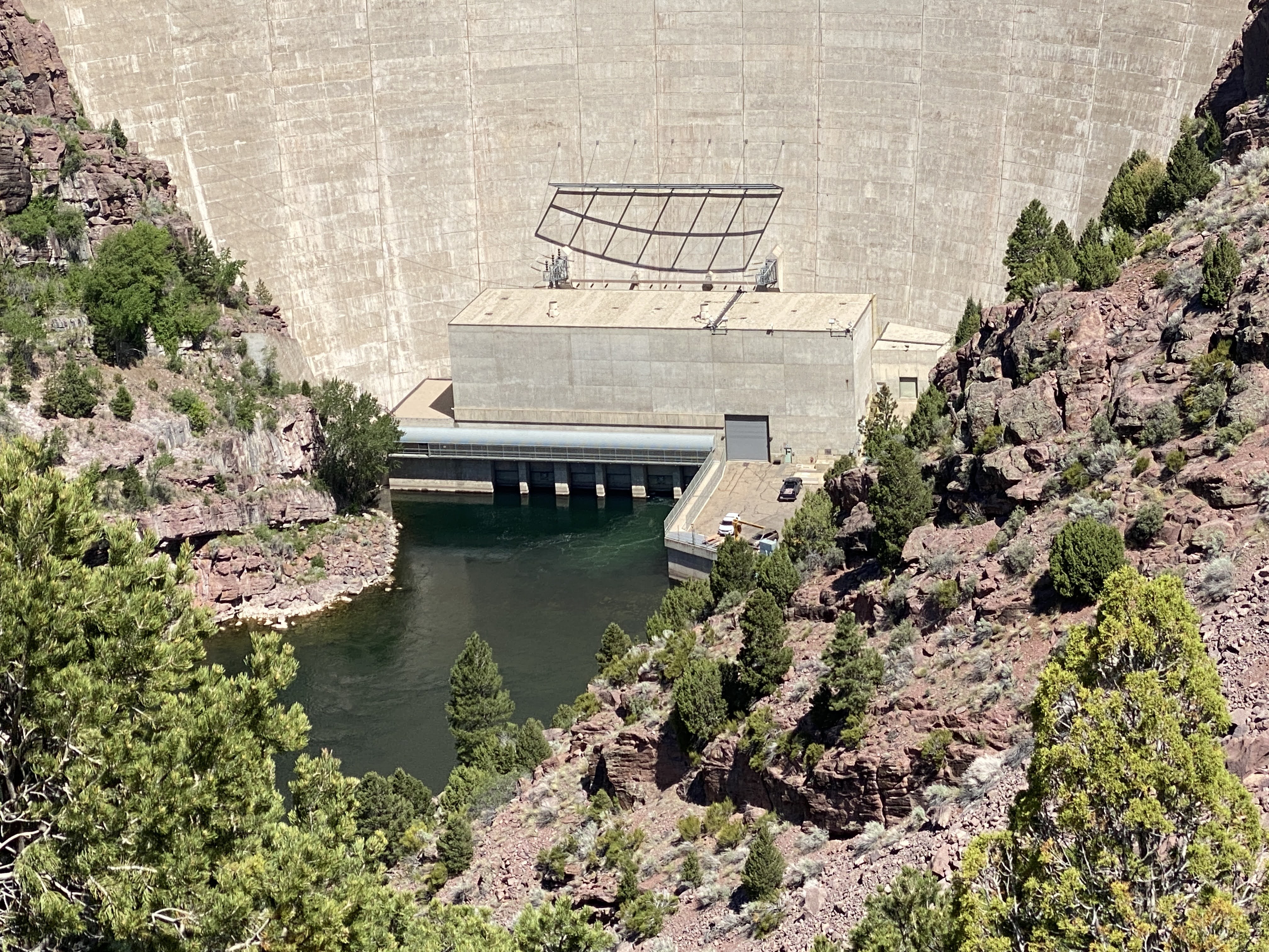
From the roadway atop the Dam we have a great view…
We continued south…
We stopped in to check out the Jenny Lake Lodge… Their dining room is not open except for guests…
We considered stopping at Jenny Lake, but the parking lots were packed, and people were parking on the highway, walking 1/2 mile to the lake Visitor Center. We continued on…
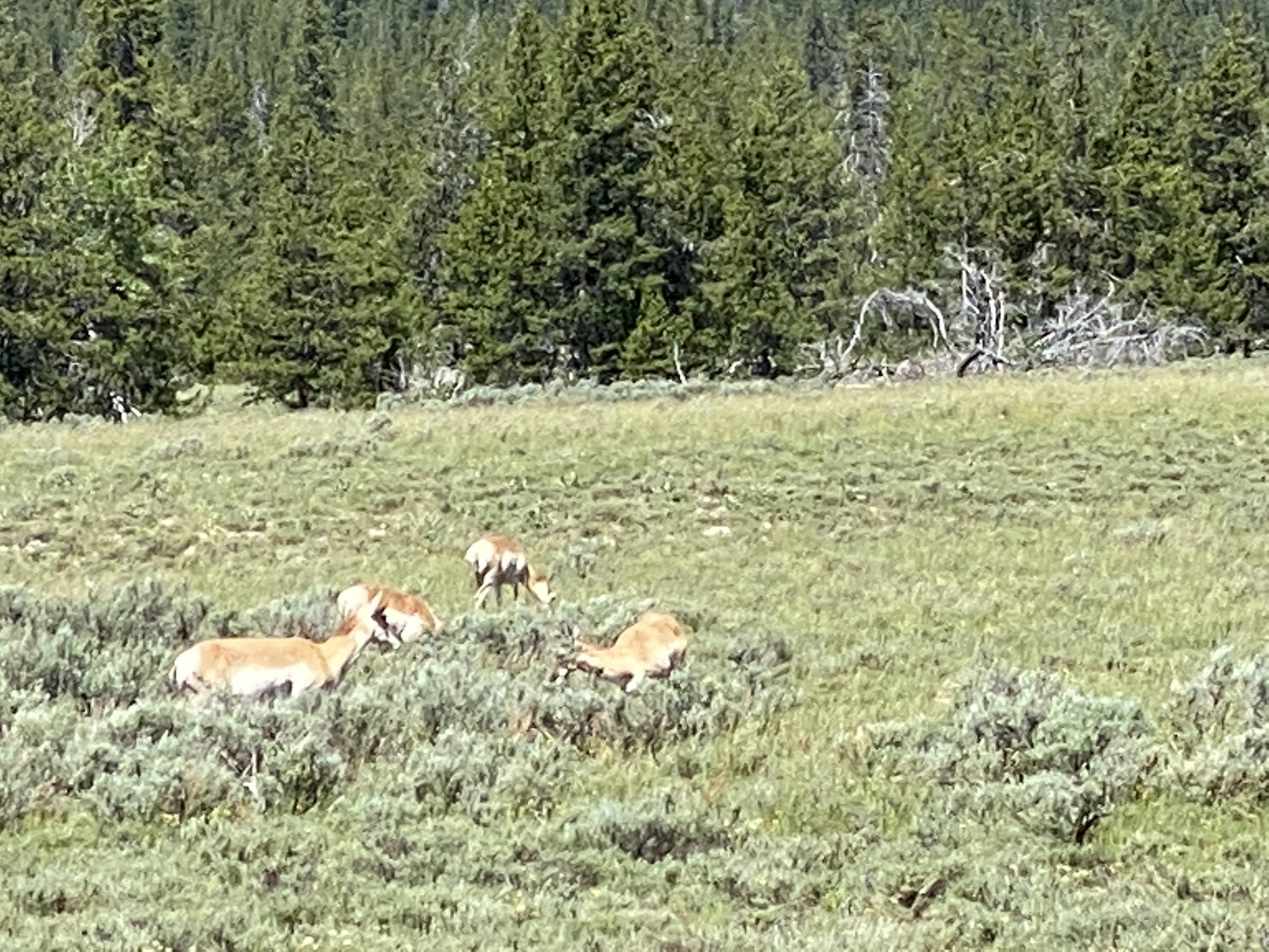
We were able to catch sight of some Pronghorn Antelope…
We continued south to the Moose-Wilson Rd. We drove south some more and were rewarded with our first sighting of a moose!
Just a bit further down the road we found his mate and their offspring, but they were moving quickly into the woods…
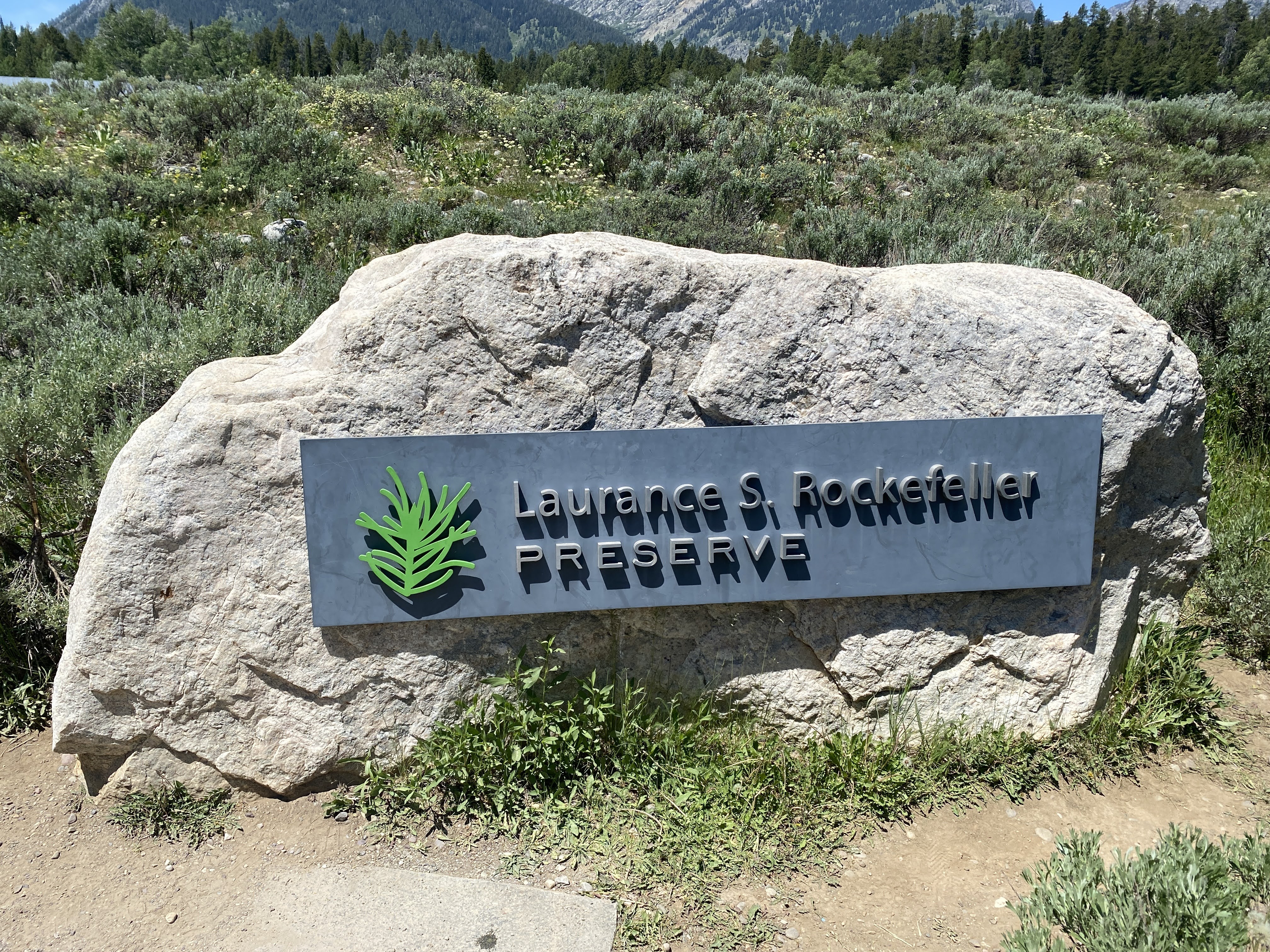
Our destination this morning is the Laurance S. Rockefeller Preserve…
The parking lot was again packed, and we waited 25 minutes for a space. Luckily, most cars belonged to hikers heading out to Phelps Lake…
We walked across the meadow towards the Visitors Center…
The Laurance S. Rockefeller (LSR) Preserve is a 1,106 acres refuge within Grand Teton National Park on the southern end of Phelps Lake. The site was originally known as the JY Ranch, a dude ranch. In 1927, when John D. Rockefeller, Jr. purchased much of the land in Jackson Hole for the creation of Jackson Hole National Monument and the expansion of Grand Teton National Park, he retained the 3,100-acre JY Ranch as a family retreat. The Rockefeller family used the J-Y Ranch for over 70 years; over the years the family gave most of the ranch land to the national park. Upon his death in 1960, JDR, Jr. left the J-Y Ranch to his son, Laurance. Finally, Laurance S. Rockefeller donated the final parcel to the Park Service in 2001, effective in 2008. The donation came with special preservation and maintenance restrictions, with the vision that the preserve remain a place where visitors can experience a spiritual and emotional connection to the beauty of the lake and the Teton Range.
When the family took over the J-Y Ranch there were 48 various dude ranch buildings on the property. The family had 28 buildings removed or demolished, and the remaining 20 buildings were remodeled and updated for use as a family retreat.
Over the years, the camp was modernized and updated, and a few new cabins were added. However, the rustic camp experience was always retained. Finally the family decided to donate the property to the Park Service, and to move their retreat to another location a few miles south, just outside the boundaries of the National Park, on the Moose-Wilson Rd. They wanted the land to be returned to its natural state.
Laurance Rockefeller hoped that his project would serve as a model for the National Parks. The overall plan for the preserve was developed by D. R. Horne & Company with advice regarding user experience from Kevin Coffee Museum Planning. Prerequisite to creating the LSR Preserve, the cabins, stables, utilities, roads, and other built environment that had been part of the Rockefeller family’s presence at the JY Ranch were removed; about half of the buildings were moved to the new Rockefeller Retreat, and the other half were donated to the Park Service to be relocated and re-purposed for their use.
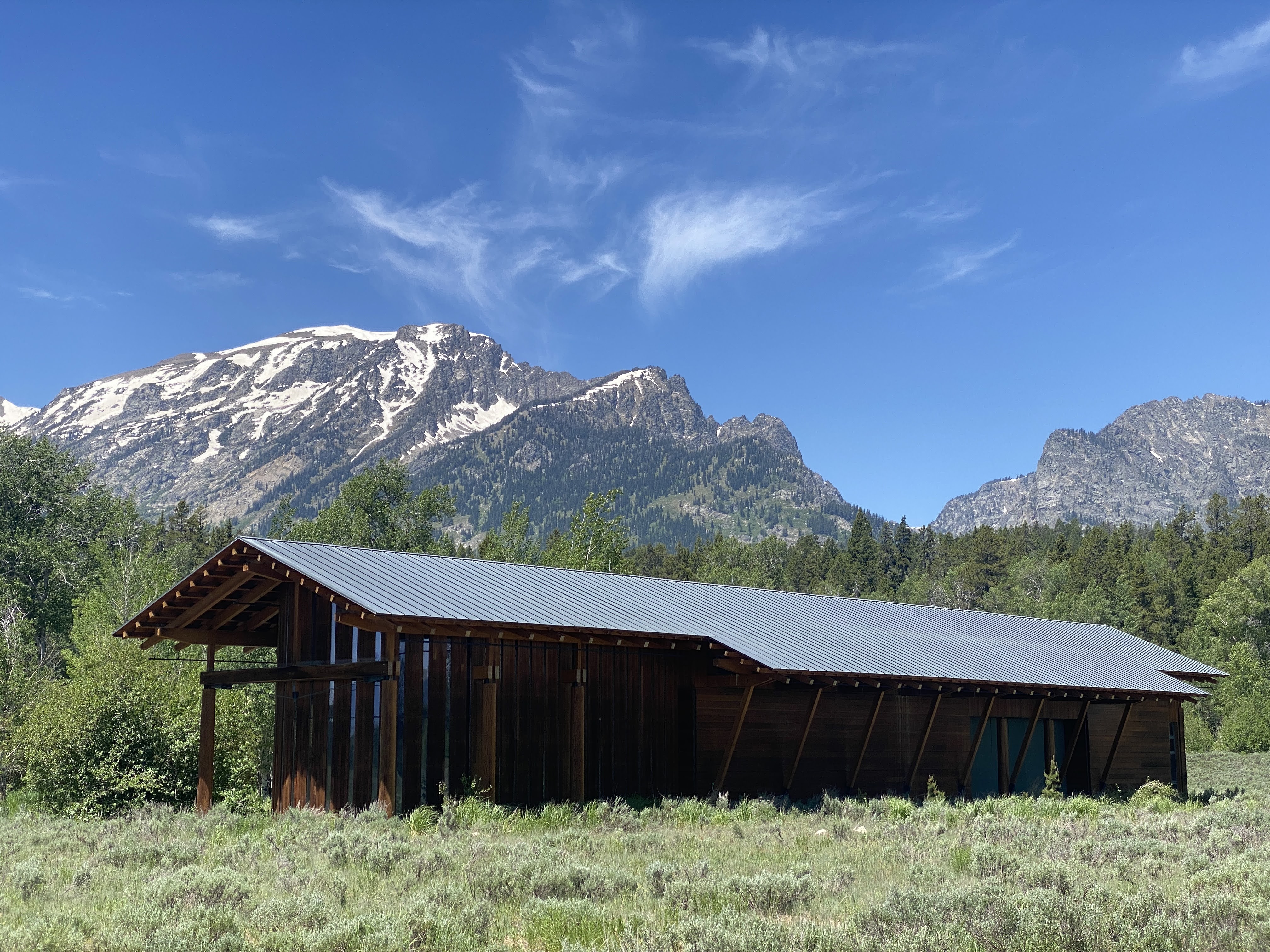
The land was carefully bio-remediated with seeds or plantings collected from nearby locations within the site. A nine-mile system of hiking trails lead through sub-alpine and wetland habitat, with vistas along the southern edge of Phelps Lake. The visitor experience is prompted via the 7,573 square -foot visitor center situated at the lowest elevation of the Preserve.
The visitor center building was designed by Carney Architects of Jackson, Wyoming with the Rocky Mountain Institute consulting on energy and daylighting analysis. Hershberger Design prepared the landscape design plan for the visitor center site and trails. A team of designers, cinematographers, photographers, sound recordists, writers and others contributed to the displays inside the visitors center and those efforts are noted on a plaque in the center, which was dedicated on June 21, 2008. The visitor center was the first Leadership in Energy and Environmental Design (LEED) certified property in Wyoming and only the fifty-second Platinum rating in the LEED program. Featuring composting toilets and a 10 kW photovoltaic system, the facility earned all 17 LEED energy points.
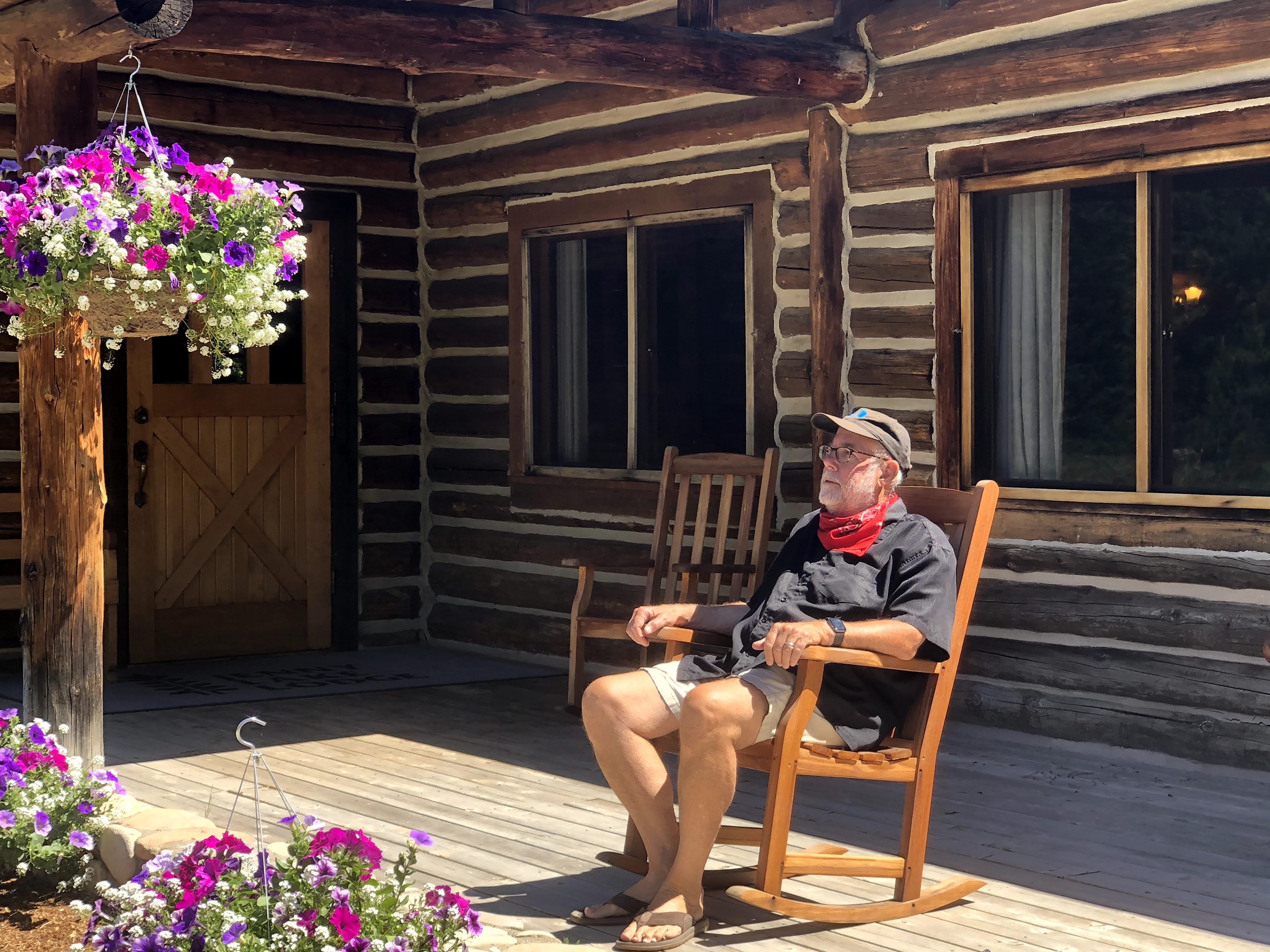
We entered the Visitor Center. (Lynda wasn’t really angry…)
Inside it was like a church. We were the only people there. There were marvelous displays: topographic maps, Photos, audio and video exhibits, and a meditation space. I loved it. I could have sat for hours enjoying the architecture and the displays of nature… But Lynda wasn’t that patient…
I threatened to take a nap in these really cool chairs, custom designed for the Rockefellers for their retreat…
We walked around, taking in the building. This massive fireplace is part of the staff lounge…!
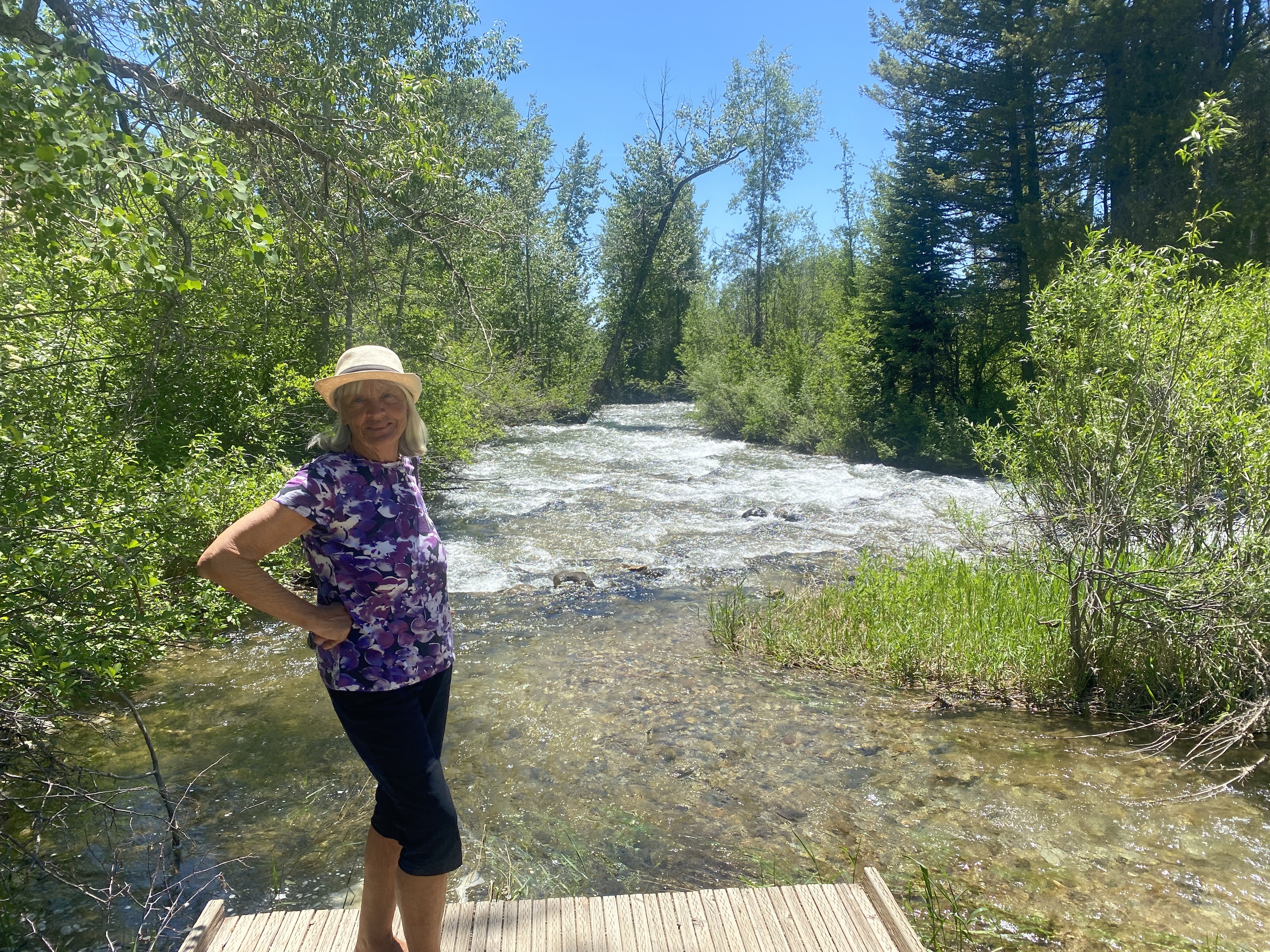
The paths led to the creek flowing out of Phelps Lake…
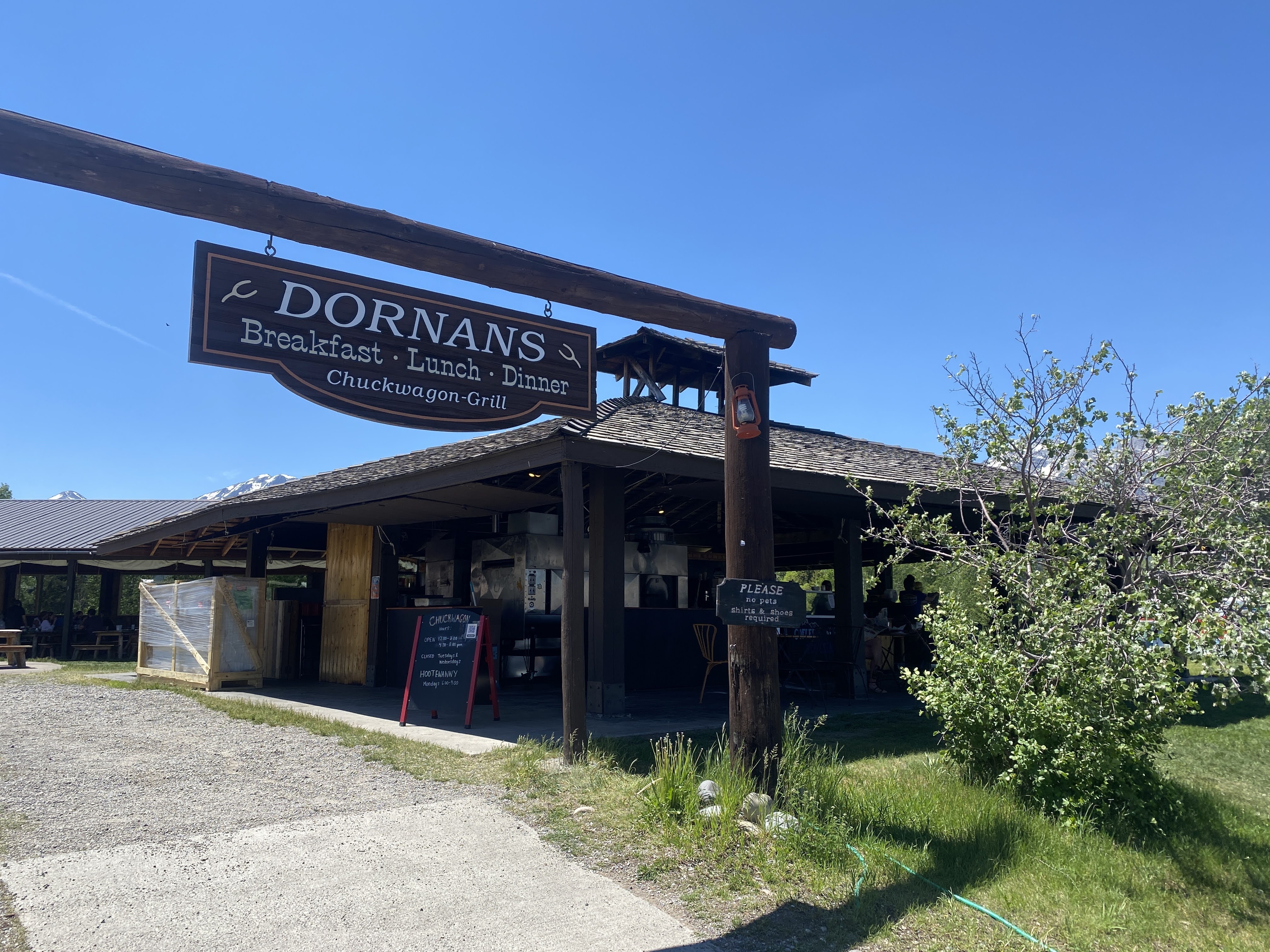
After this contemplative experience we needed lunch. We drove to Dornan’s, a pretty mediocre restaurant…
We returned to the RV Park and walked along the lake…
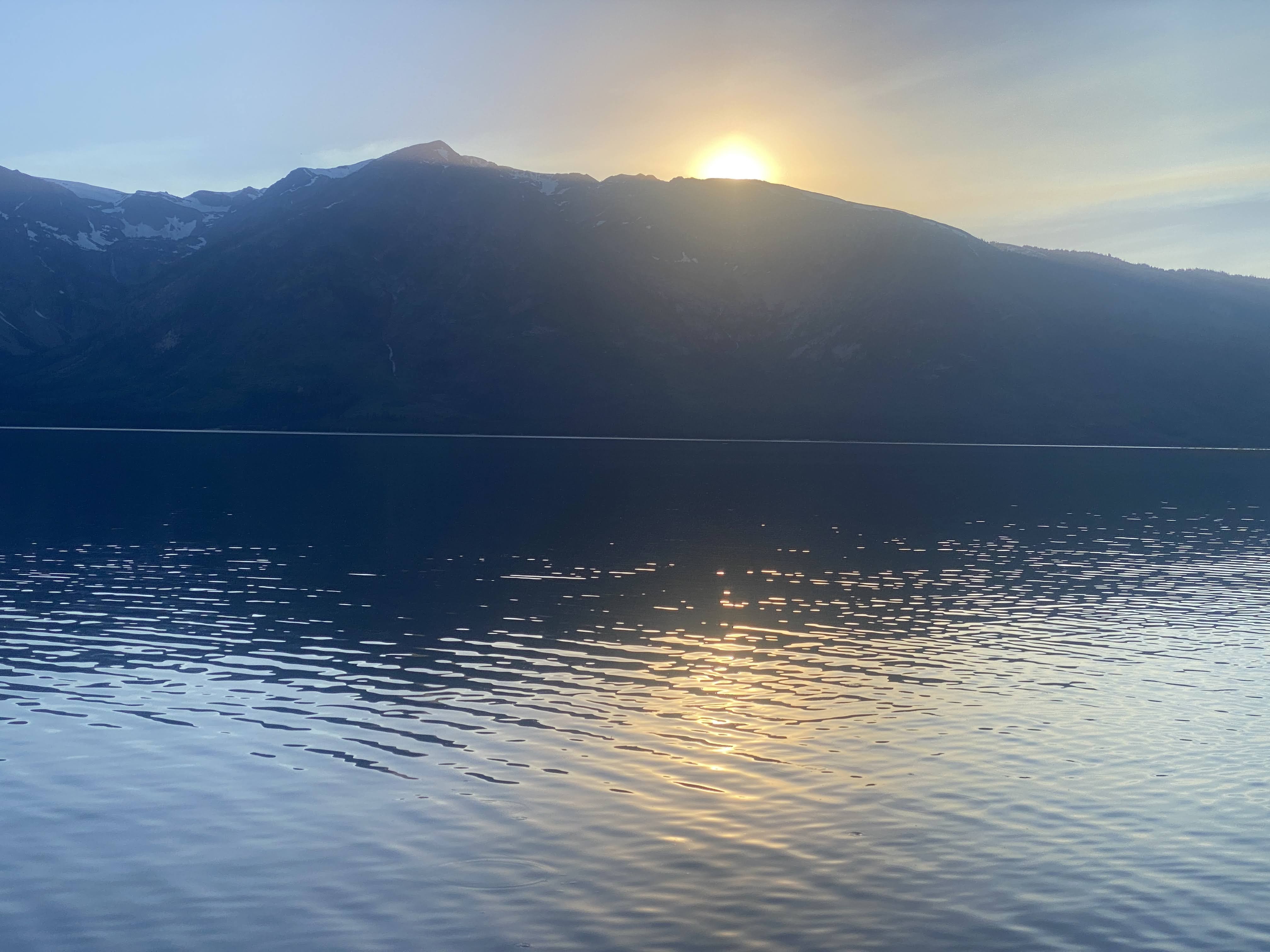
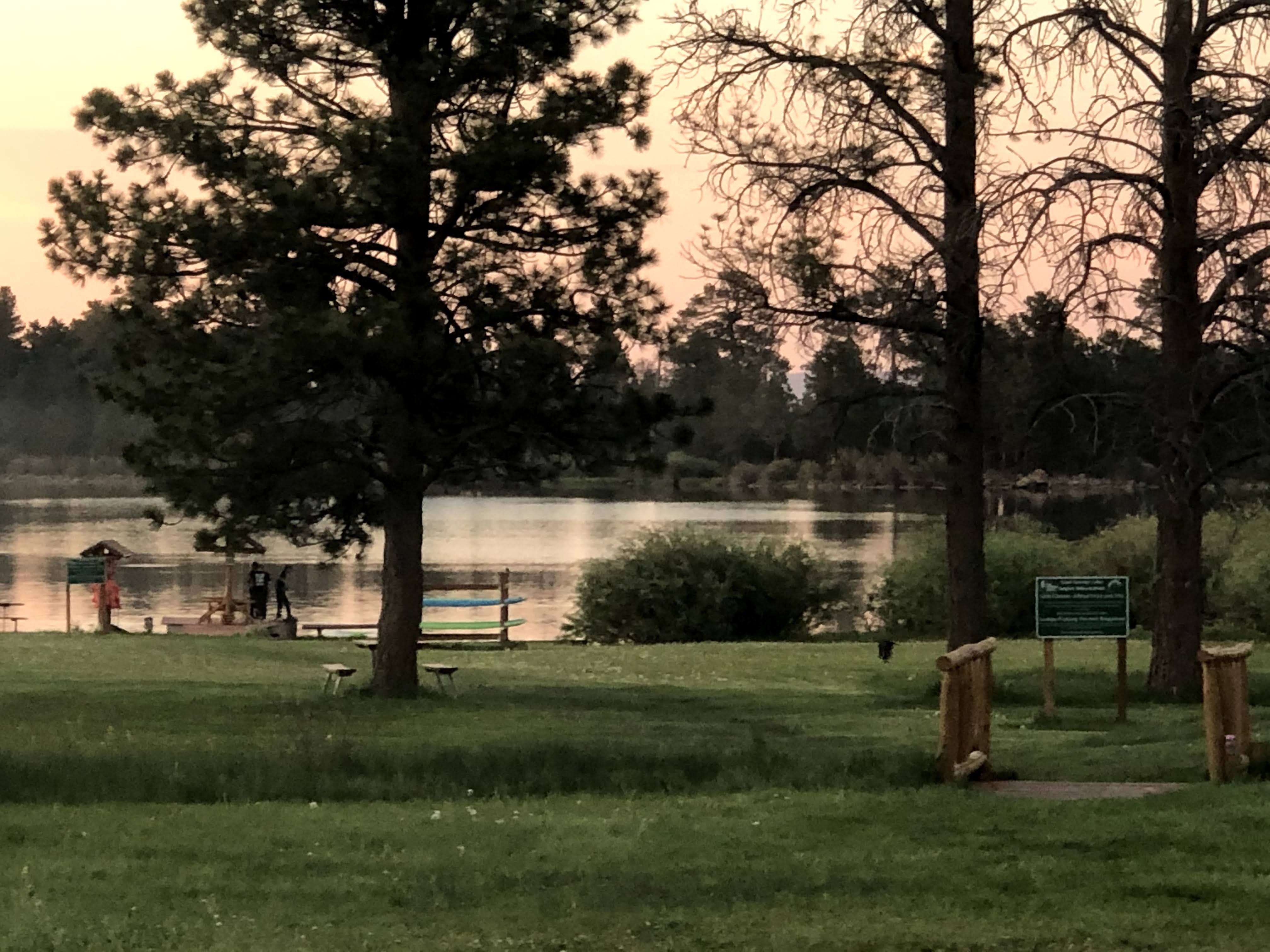
I spent a little time in the “village” looking for internet. After dinner we walked to the swimming beach and enjoyed the sunset…
We returned to the Villa and an enjoyable time was had by all…
This morning, since we had not had a group dinner upon our arrival, we shared a lovely breakfast at the Flaming Gorge Resort…
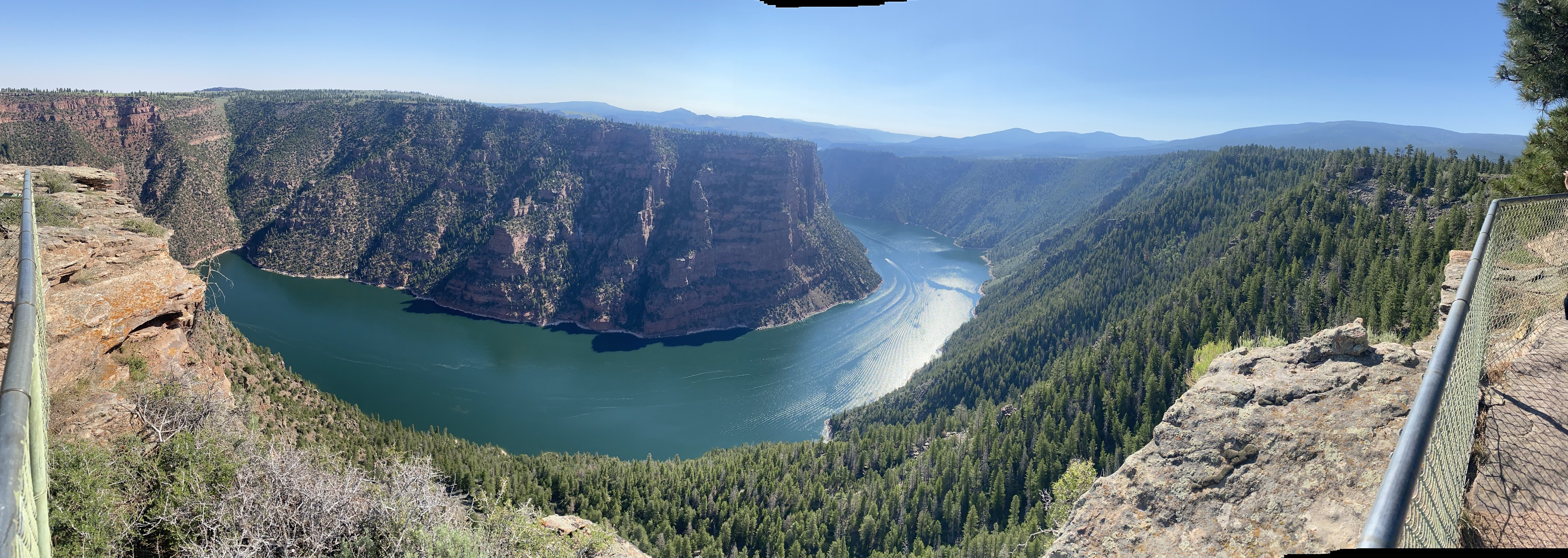
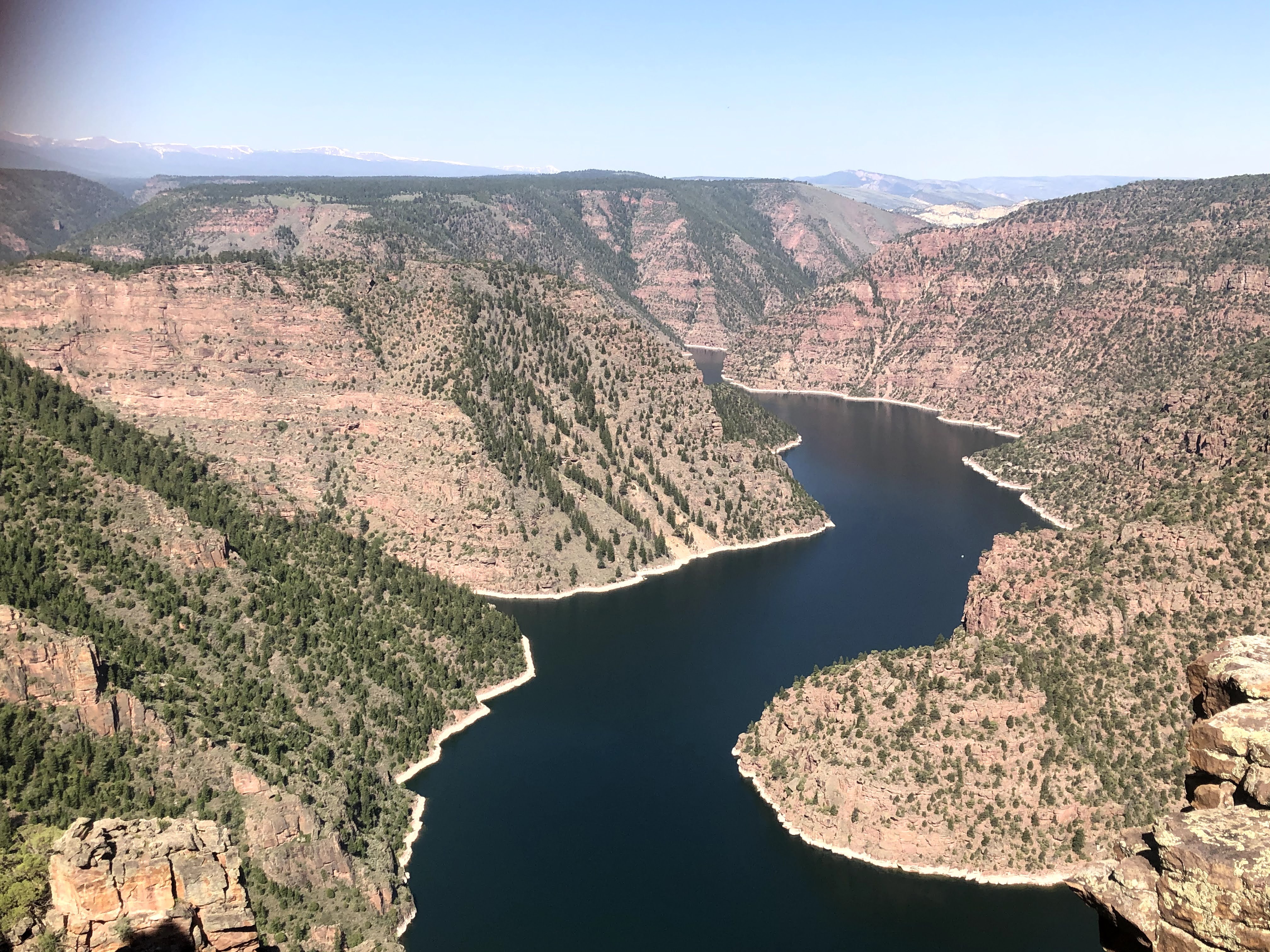
After breakfast we drove towards Red Canyon. This is beautiful, but we still don’t know anything about Flaming Gorge…
We arrived at Red Canyon, and peered over the rim…
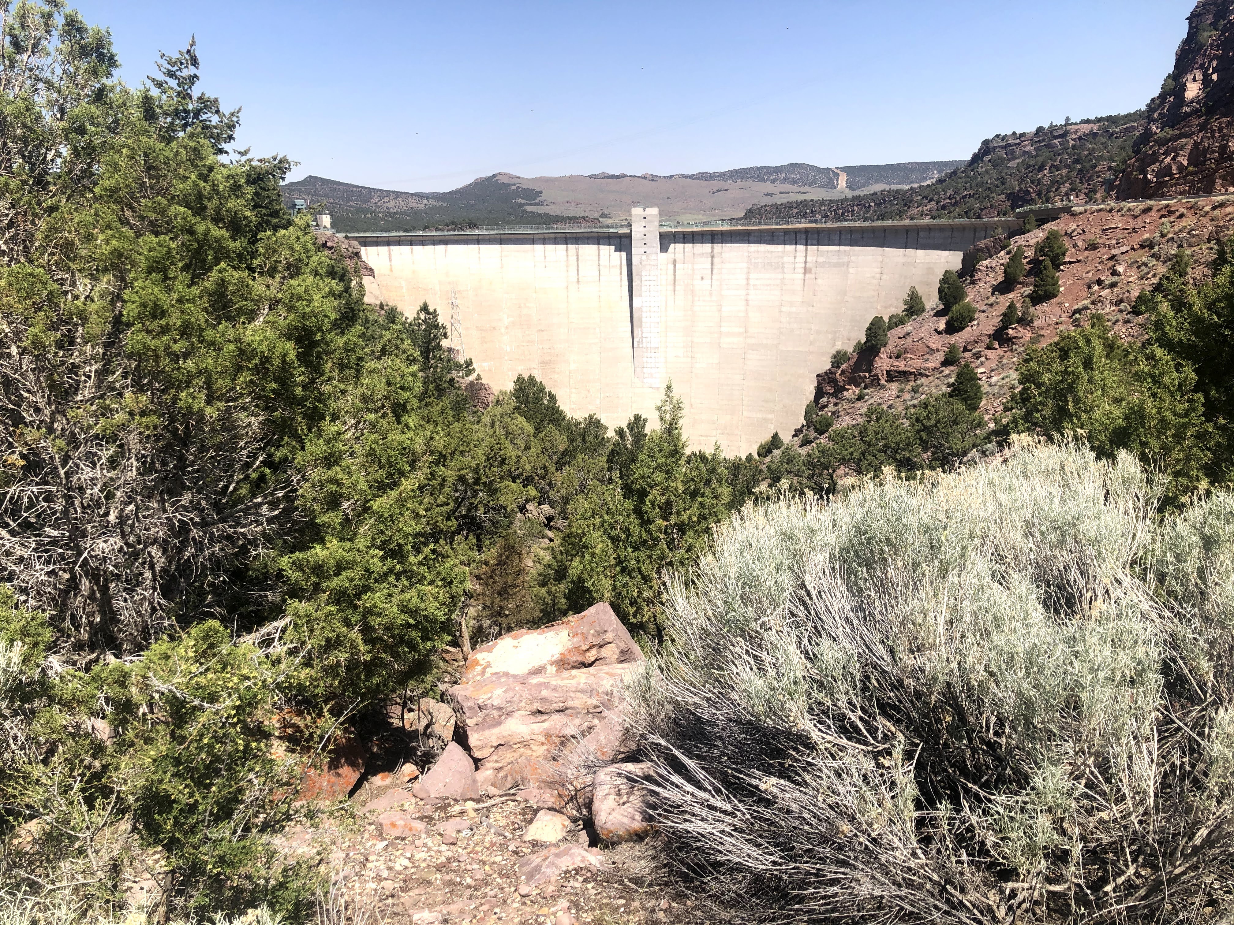
Flaming Gorge Reservoir is the largest reservoir in Wyoming, on the Green River, impounded behind the Flaming Gorge Dam. Construction on the dam began in 1958 and was completed in 1964. The reservoir stores 3,788,900 acre-feet of water when measured at an elevation of 6,040 feet above sea-level (its maximum).
The reservoir is mainly in southwest Wyoming and partially in northeastern Utah. The northern tip of the reservoir is 10 miles southeast of Green River, Wyoming (not to be confused with the town of Green River, Utah), 14 miles southwest of Rock Springs, Wyoming, and the Southern tip is approximately 40 miles north of Vernal, Utah. The lake straddles the Utah-Wyoming border. The nearby town of Dutch John, Utah, was built to serve as a base camp during construction of the dam, and as an administrative site afterwards.
We were spellbound at the views from here… especially since the land (rocks) we were standing on were clearly separated from the “mainland”…
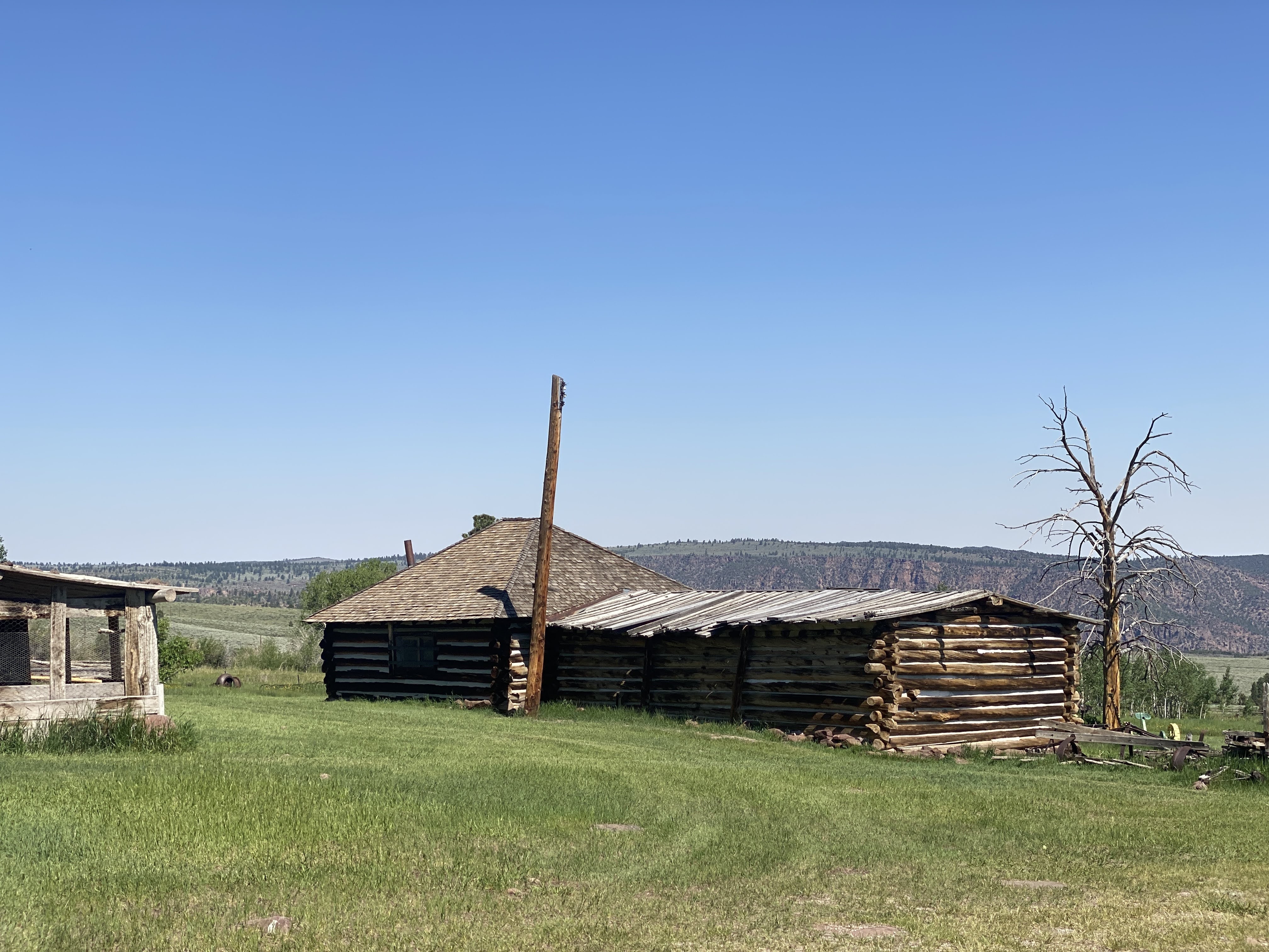
After being amaized by the views from Red Rock Canyon rim, we drove a short distance to the Swett Ranch…
Swett Ranch, southwest of Dutch John, has buildings dating from 1909. A 14.1 acres section of the ranch was listed on the National Register of Historic Places in 1979. It included nine contributing buildings and three contributing structures.
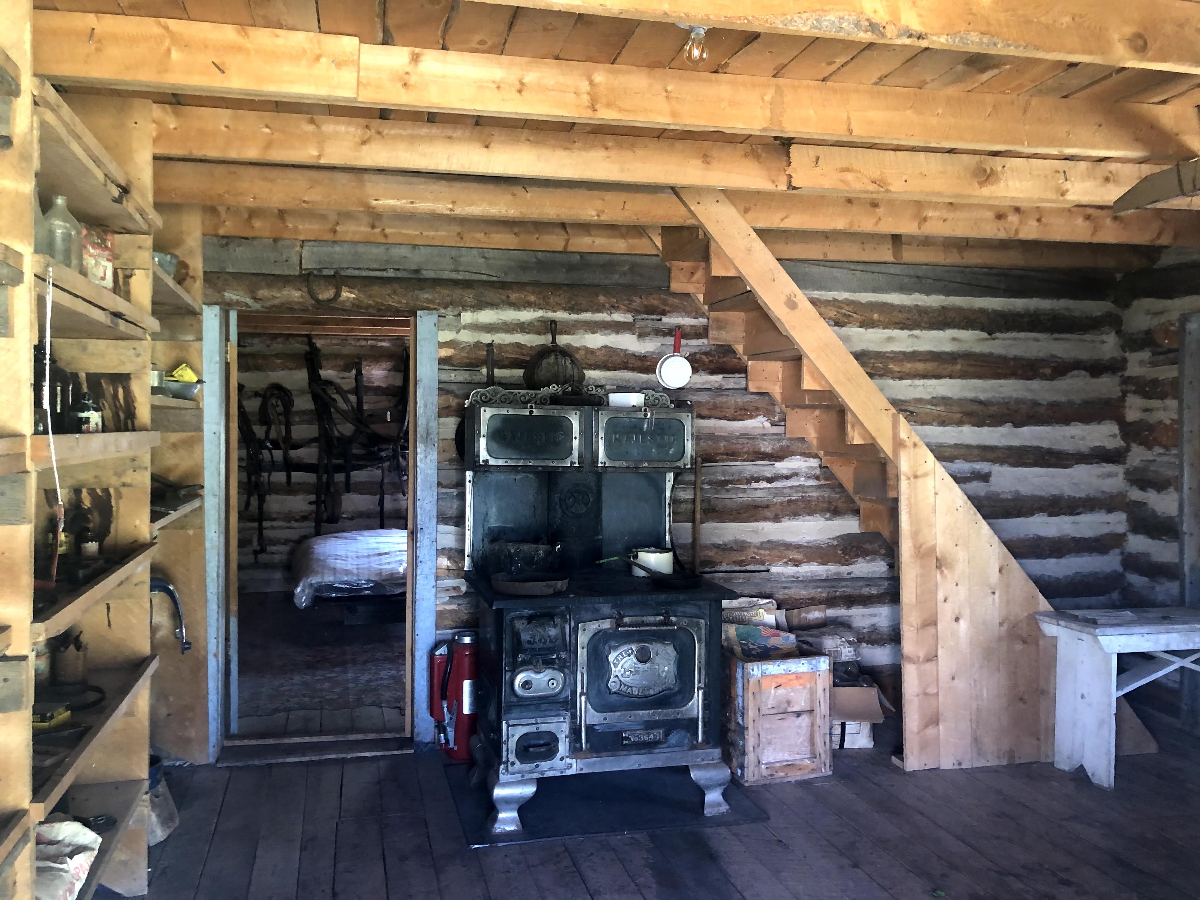
There were three houses on the ranch. An original log cabin, originally elsewhere, was disassembled and reassembled here on this site. This was the original house, and later it became a bunkhouse for the family’s sons.
This is the second house, added a few years later.
This contained a Kitchen-Living area, a primary bedroom, and a loft for the family’s daughters…
The third house was the family home from the 1940s to the 1960s. While it is quite modern in appearance, it took them until the 1960s to finally add a fully functional bathroom… and even then, they had to walk outside to get to it…
This is the stable; beyond it is the schoolhouse…
Inside the stable…
The Spring House…
The root cellar… It has a long passage, with three doors, which extends into the hill beyond. Being an underground room, it is at a constant 55 degrees – it would make a perfect wine cellar…!
The Swett family live here from 1909 into the late 1960… living without electricity until the late 1950s… All farm equipment was horse-powered; they never had a gasoline or diesel powered tractor…
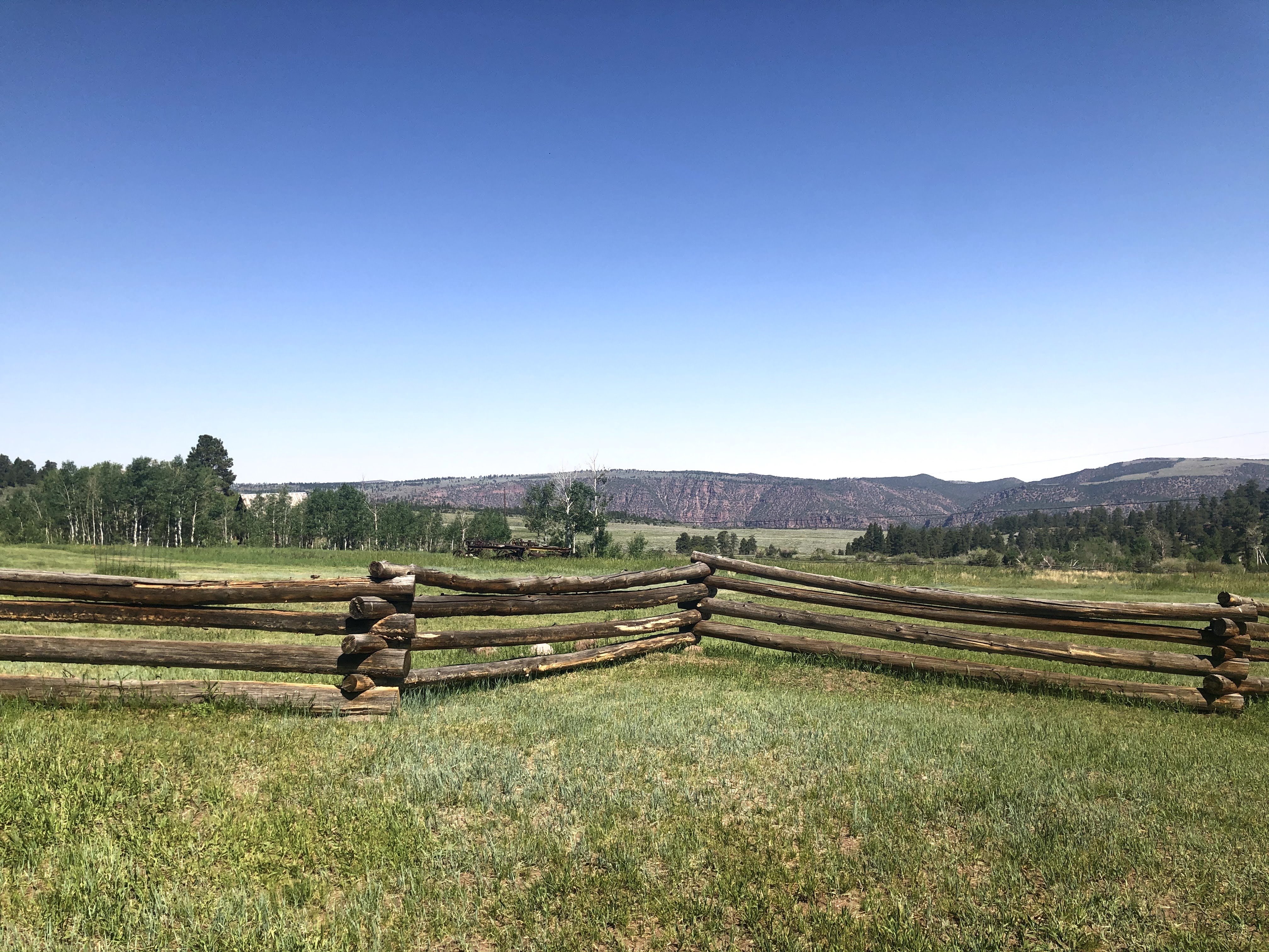
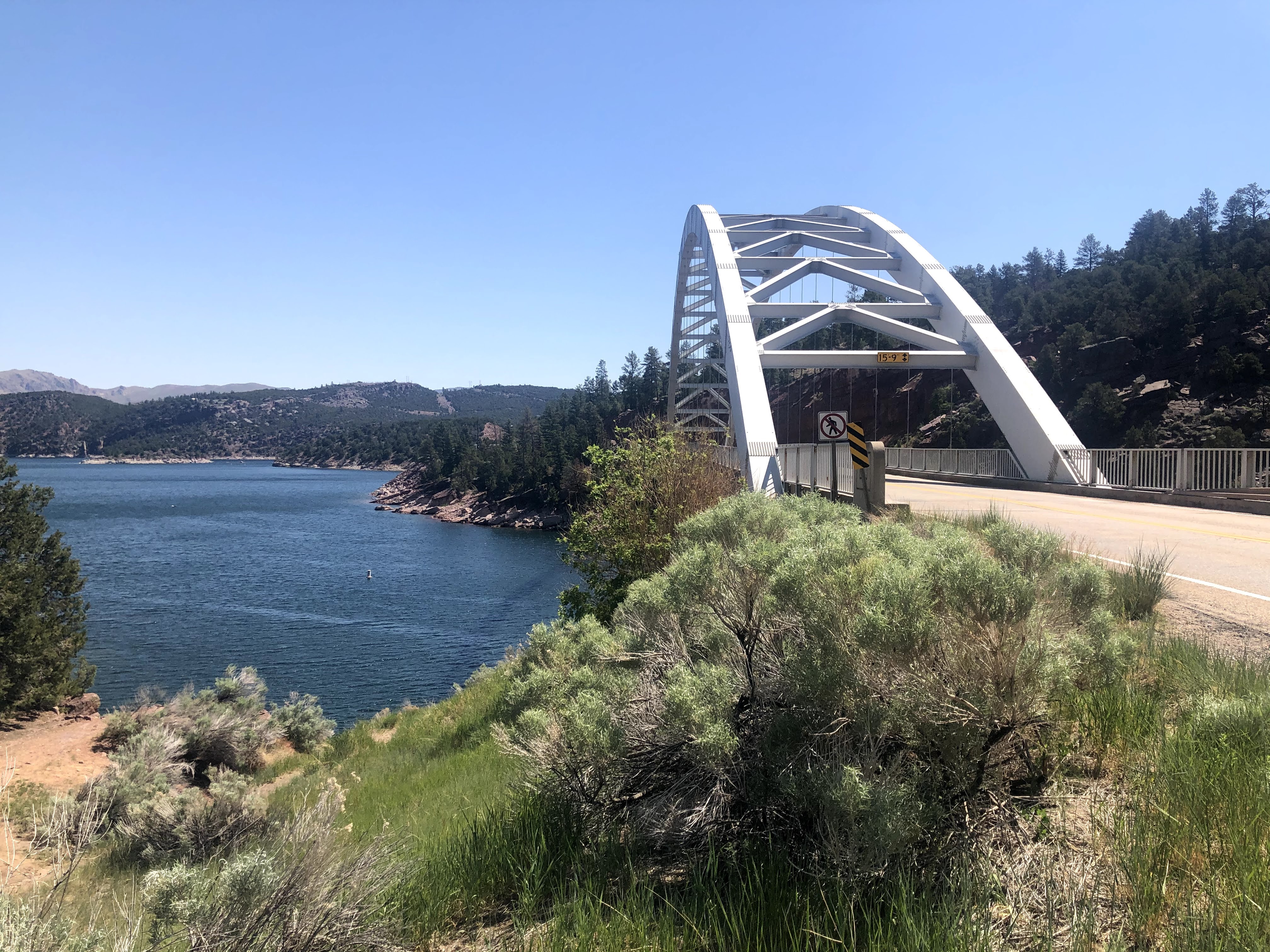
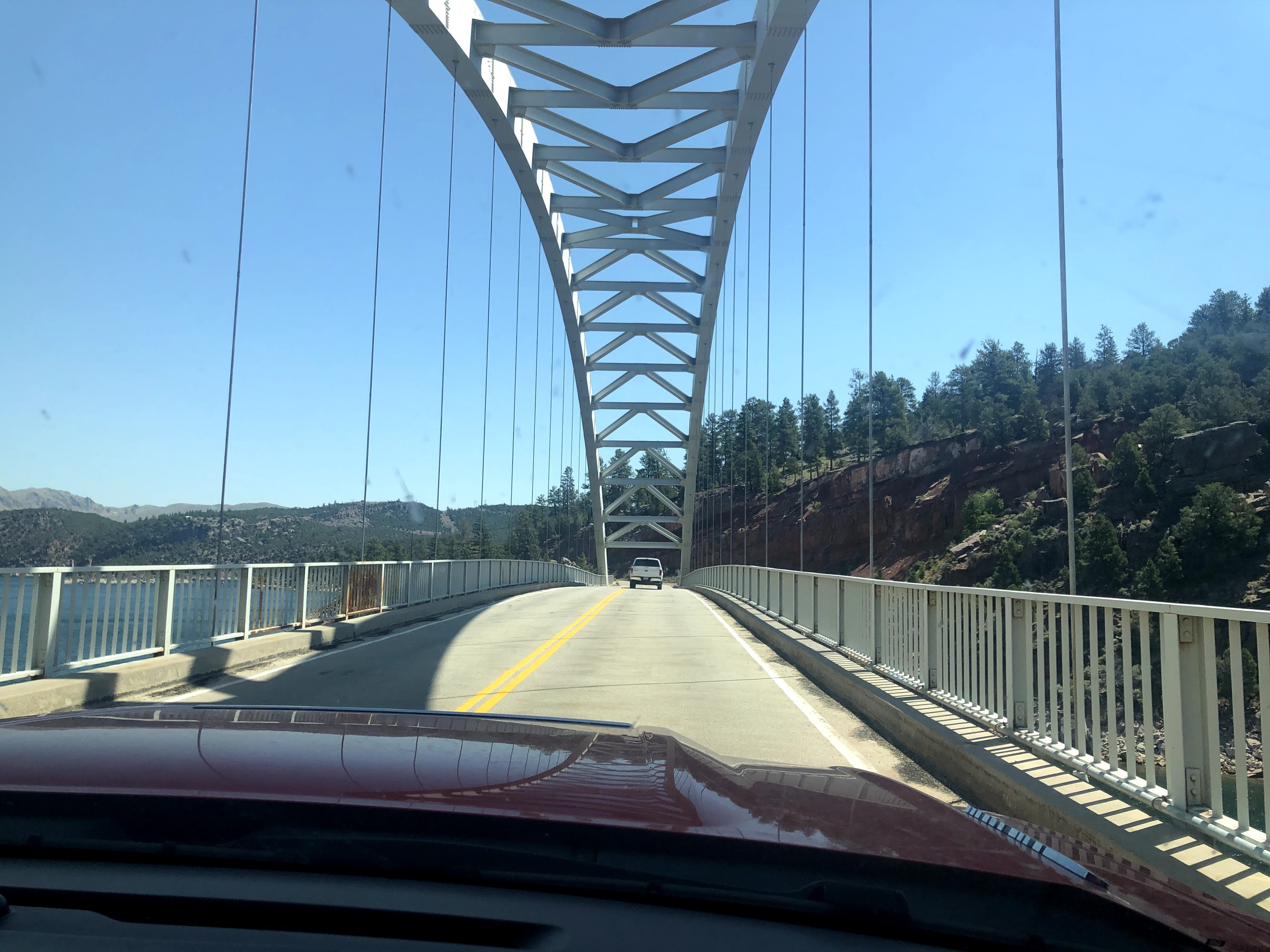
The countryside is beautiful here. After the ranch we drove towards Dutch John…
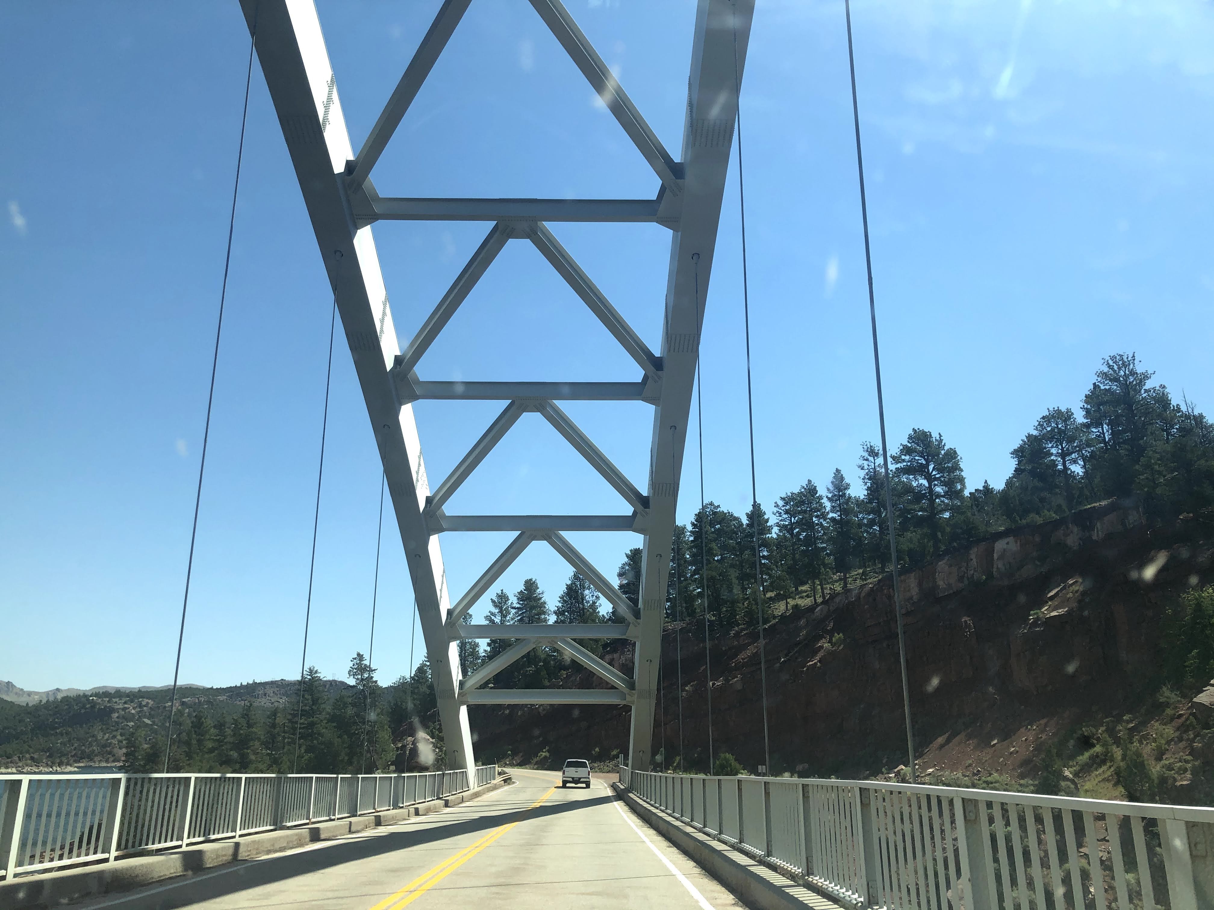
There is a great bridge we drove over…
And then we found the dam…
We returned to the RV Park…
This evening we were treated to a wonderful dinner at the Red Canyon Lodge by Patricio and Essy Donoso, new Airstream friends from Florida.
It is their 45th wedding anniversary today…
This is the finest restaurant in the area… I, of course, brought the wine… They had the audacity of charging $8.00 corkage fee! What are they thinking? I haven’t seen $8.00 corkage since the 1980s…
We had a lovely dinner, and the grounds were lovely in the twilight after dinner…
We returned to the Villa. An enjoyable time was had by all…
Travel day again. We are leaving the Dinosaur National Monument area, and traveling only a short ways north, to Flaming Gorge National Recreation Area, near the town of Dutch John.
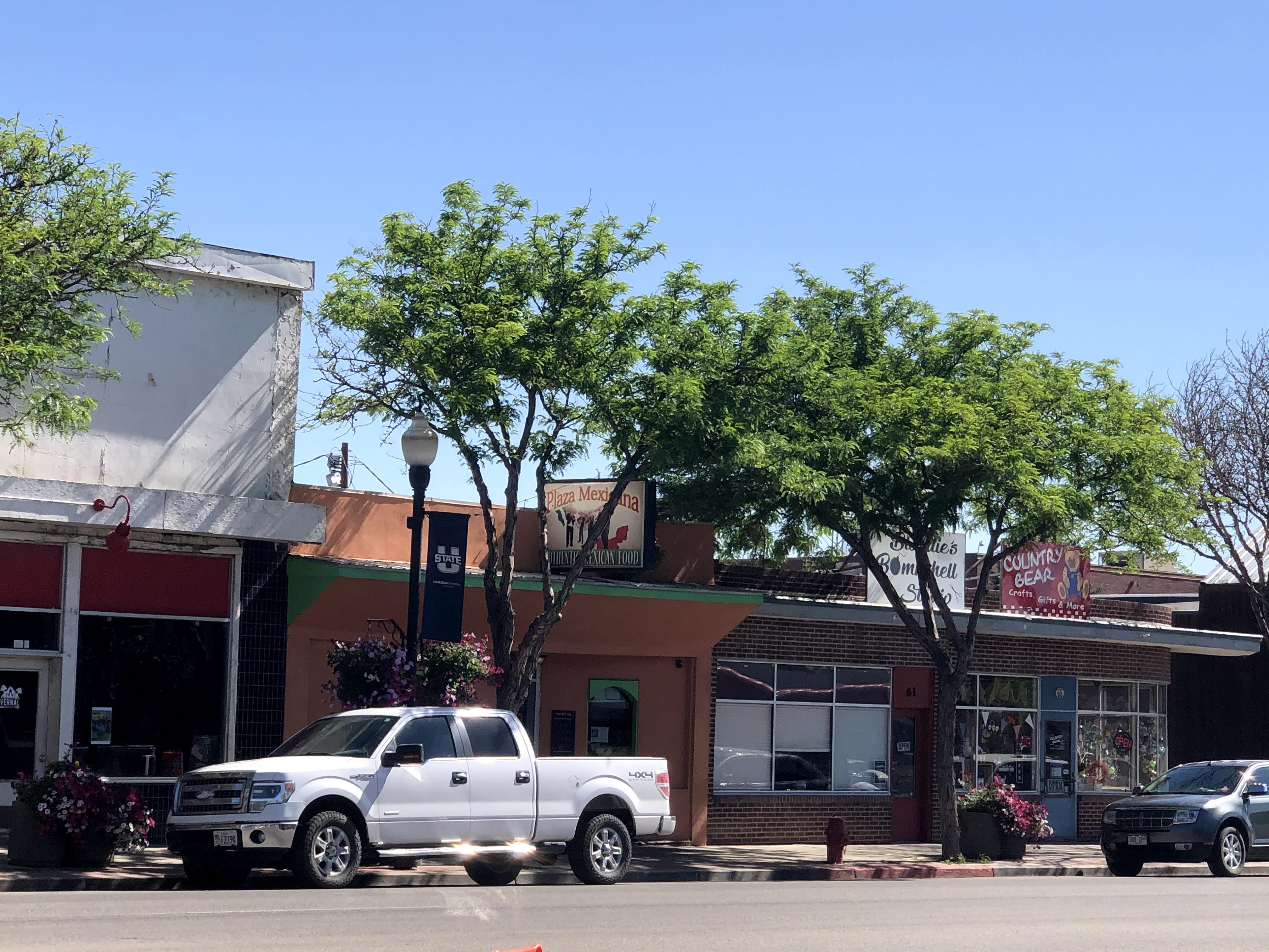
We left just after 9:00, and traveled through the town of Naples, where we topped off our fuel. We continued west a few miles to Vernal, which looked interesting. We stopped and walked the town for about 45 minutes. It clearly has seen better days, but it looks like improvements are on the way…
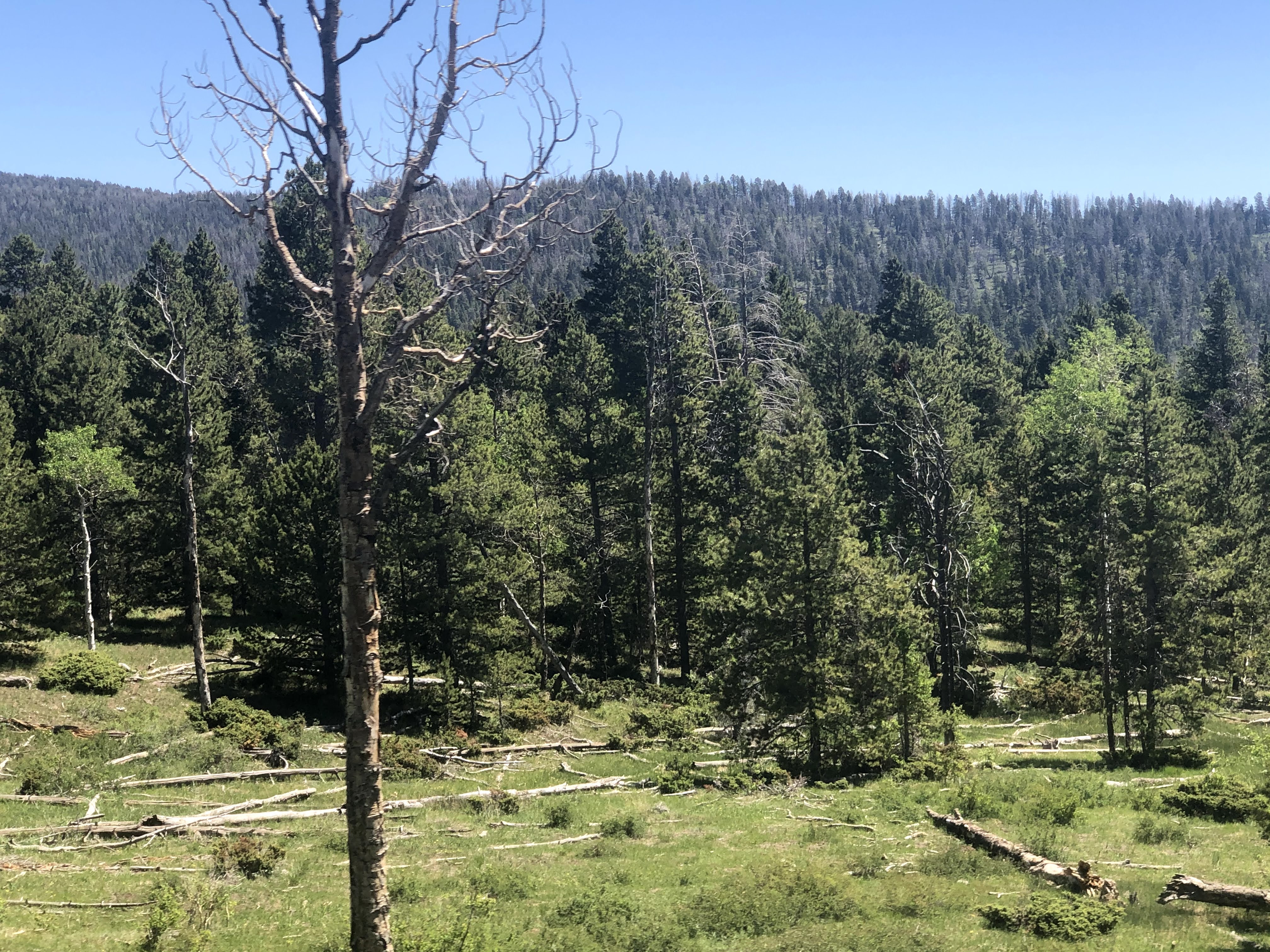
At Vernal we turned north again and climbed more mountains…
We continued driving north through the mountains…
We arrived at the RV Park and found our spot…
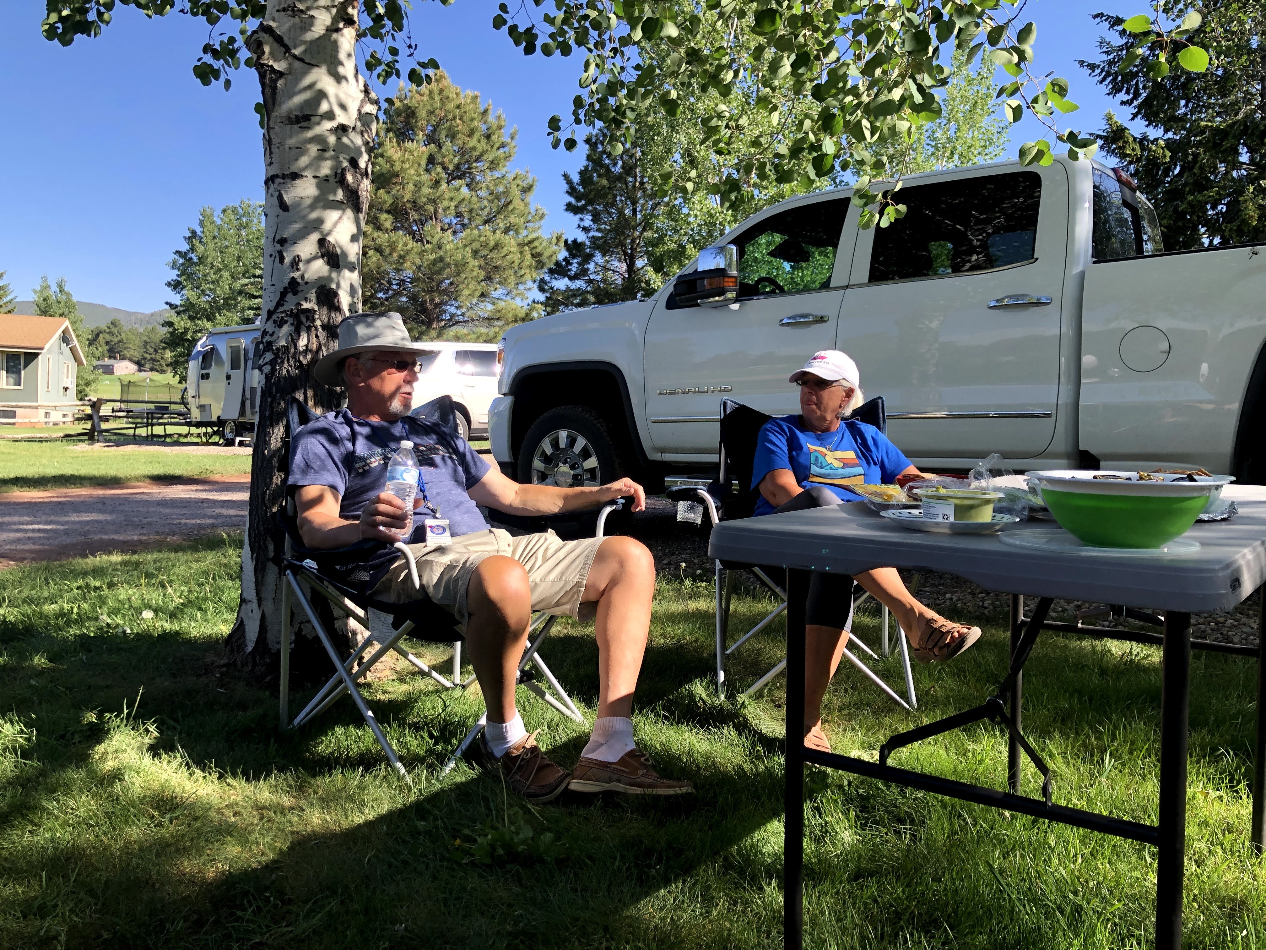
That evening we had happy hours and a GAM to celebrate our arrival…
We returned to the Villa and an enjoyable time was had by all…
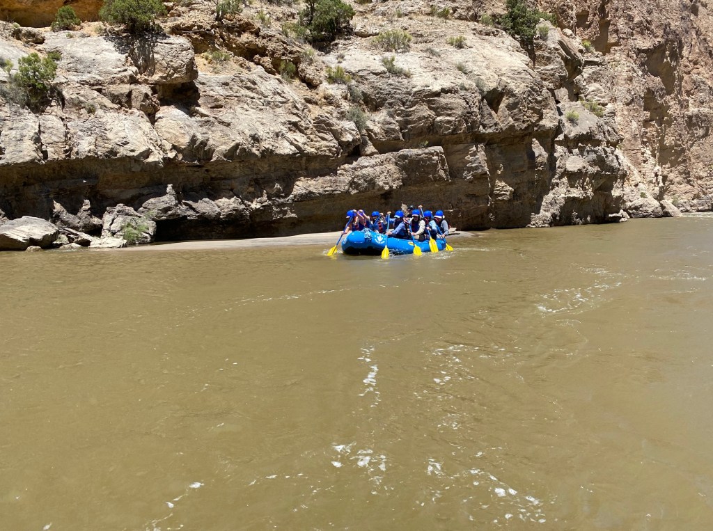
Today was our exciting White Water Rafting trip down the Green River, through Split Mountain… but we were not allowed to bring our phones/cameras, so we took no photos…
However, another Airstreamer did have a waterproof camera, so he was kind enough to lend us some of his photos…
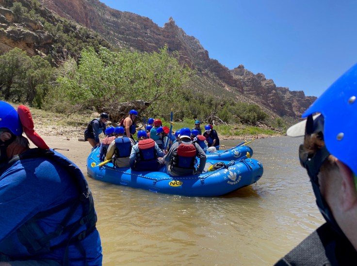
We had to be at the Raft Store in Jenson at 8:30, so naturally we were there at 8:00. We waited around and finally enough of us (there were 18 Airstreamers on this excursion…) arrived so that we could be fitted for helmets and Personal Flotation Devices (PFDs – life vests…).
We were all loaded into two vans, along with three rafts and four River Guides. We drove about 45 minutes through some of the most desolate landscapes I have ever seen. We stopped along the way to view some petroglyphs (not to be confused with pictographs…).
Finally, we arrived at the Green River. While one of the River Guides gave us our safety talk, the other three unloaded the rafts, stowed away the equipment and food we would need for lunch, and got everything ready for our departure.
Lynda and I were joined by four other Airstreamers and two river guides into our raft. We had the middle seats… I would have preferred the rear seats, but that didn’t work out…
By the way; I have never done this before. Lynda has, on a Senior trip, with a raft loaded with about fifteen 17 year old boys and girls…
And off we went. The river was very quiet here, so we practiced paddling for a few minutes. Then we headed downstream. We were the lead boat…
We looked something like this. Frankly, I can’t tell if this is our boat or not…
The trip covers nine miles of the river, with four Class 3 rapids, plus lesser rapids in between…
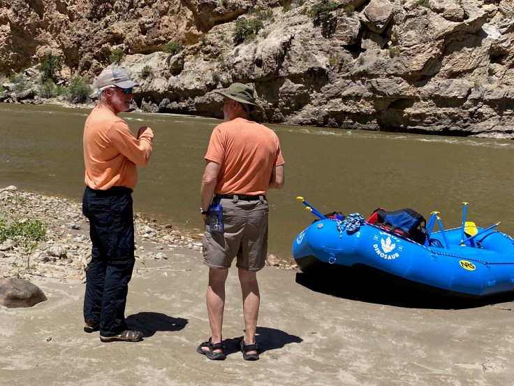
About halfway through the trip we stopped for lunch. We had safely maneuvered three of the Class 3 Rapids; we had been splashed and bumped, and we were generally pretty tired. However, we were all still in the boat!
We landed and came ashore. Most of us quickly shed the cumbersome helmets and PFDs…
We had a chance to relax, drink some water, and chat about our travels…
And then came lunch!
If you hadn’t noticed by now, our river guides were four very strong 20-something young women!
The rest of the trip went off without a hitch, except that at the last Class 3 Rapids, just before our take-out spot, we had wind gales/gusts of 40-50 mph blowing us back up the river! We ran those rapids three times, each time only to be blown back up the river… (the water was flowing at about 20-25 mph…).
Our guides finally pulled us along the shoreline where they could walk in the water and drag us down river against the wind, while we paddled furiously and used our paddles to push off the shore. I don’t know how orthodox or how unusual this is, but it worked.
We finally landed and were able to stand again on dry land. As we rested, we watched the four river guides hoist these rafts onto their shoulders and place them on the trailer. We had a short trip back to the Raft Store, from which we returned to the RV Park…
It was a great trip and I think we would all do it again. It was a little wet, a little bumpy, but it was all in good fun!
Back at the RV park we had happy hours. And an enjoyable time was had by all…
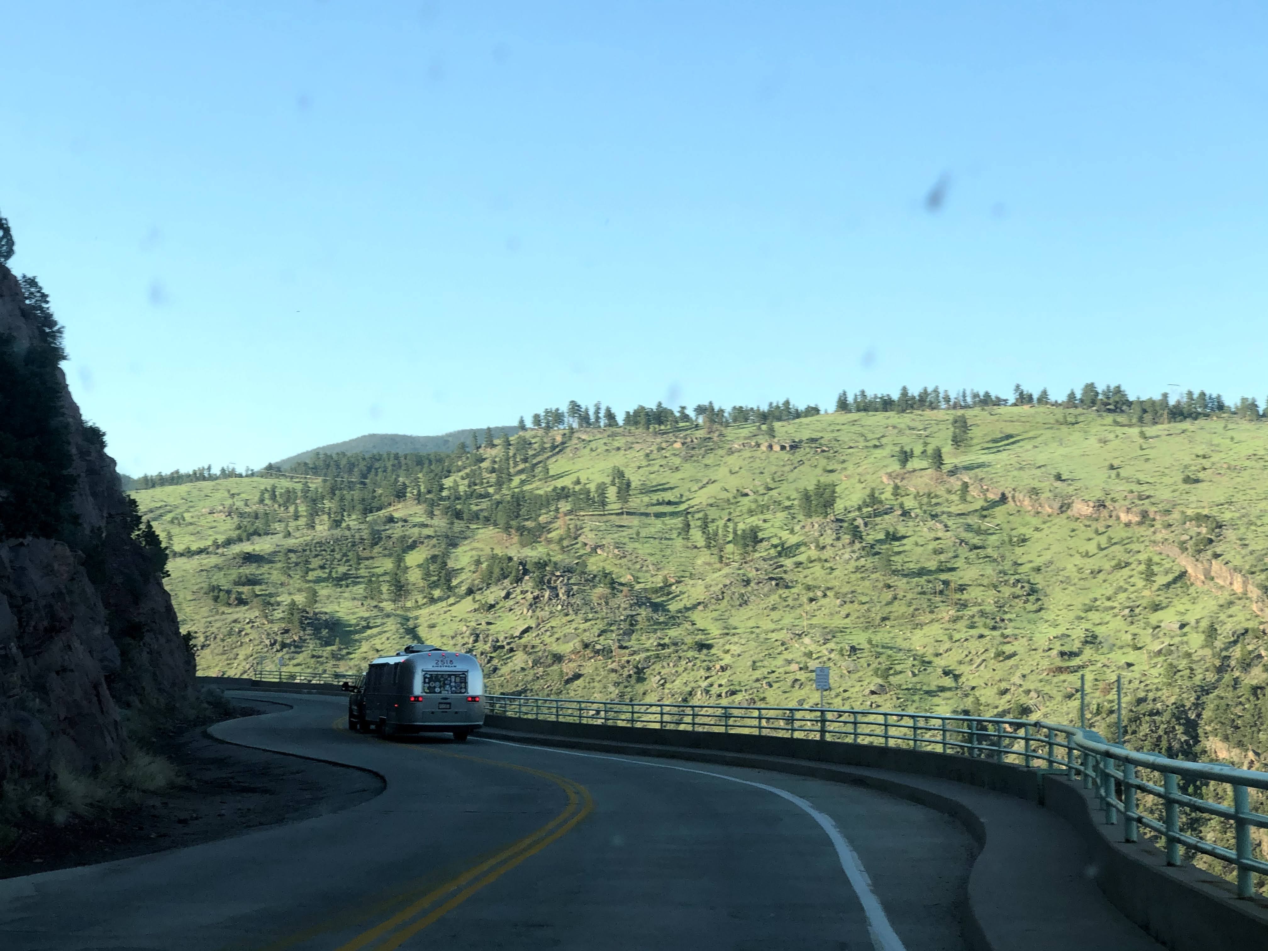
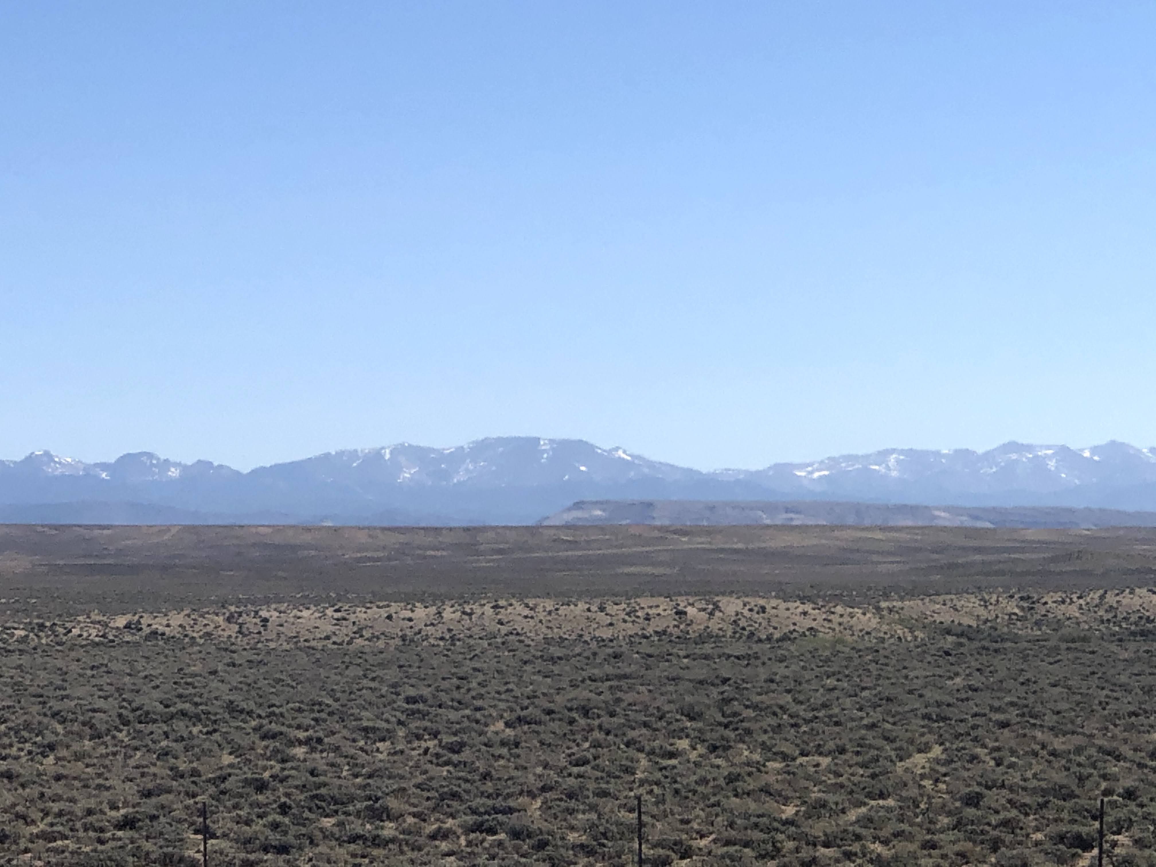
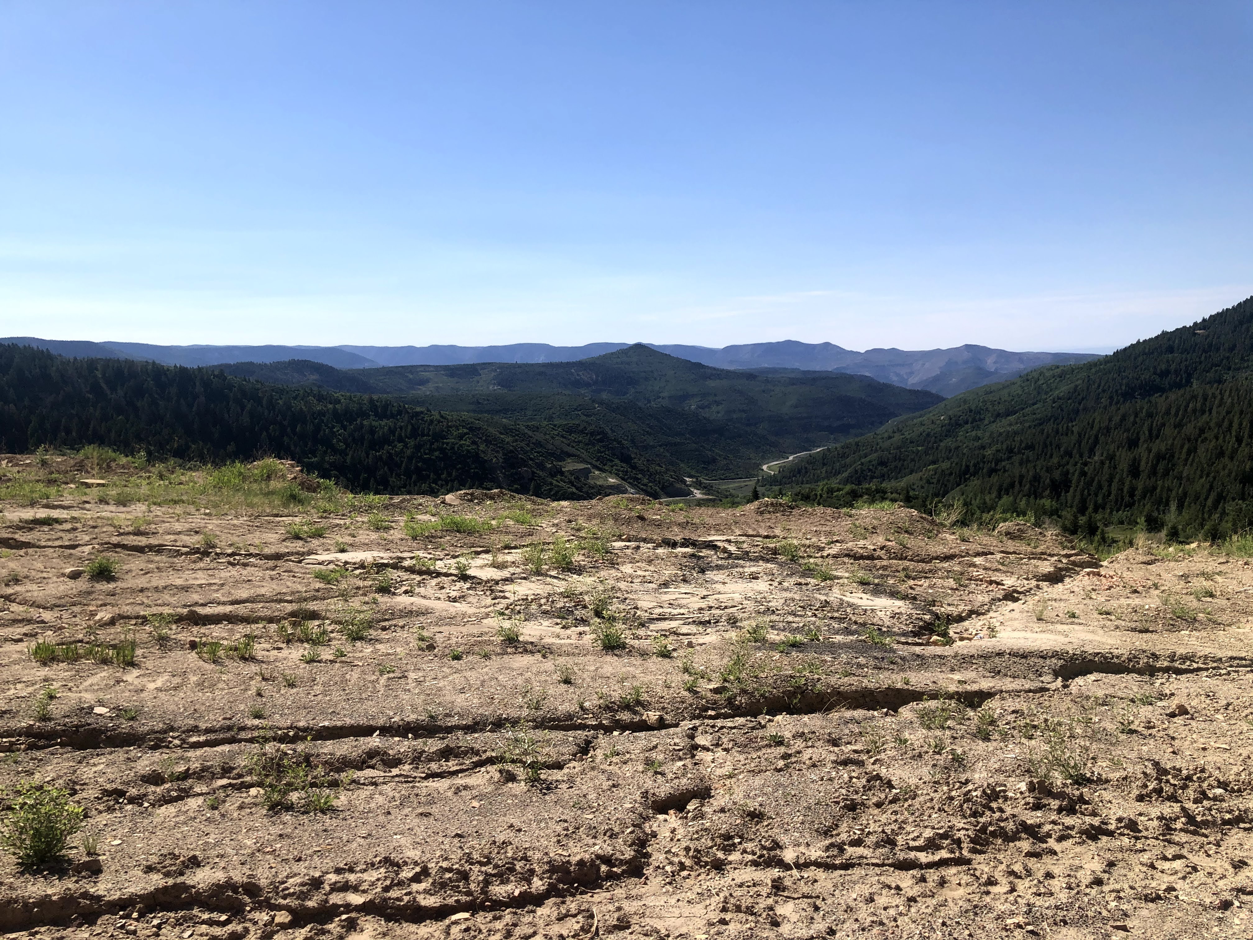
Today is a travel day, as we leave Colorado and enter the far northeast corner of Utah, just a few miles south of Wyoming. We left about 9:00 am and traveled north. At first the roads were small, straight, and well paved…
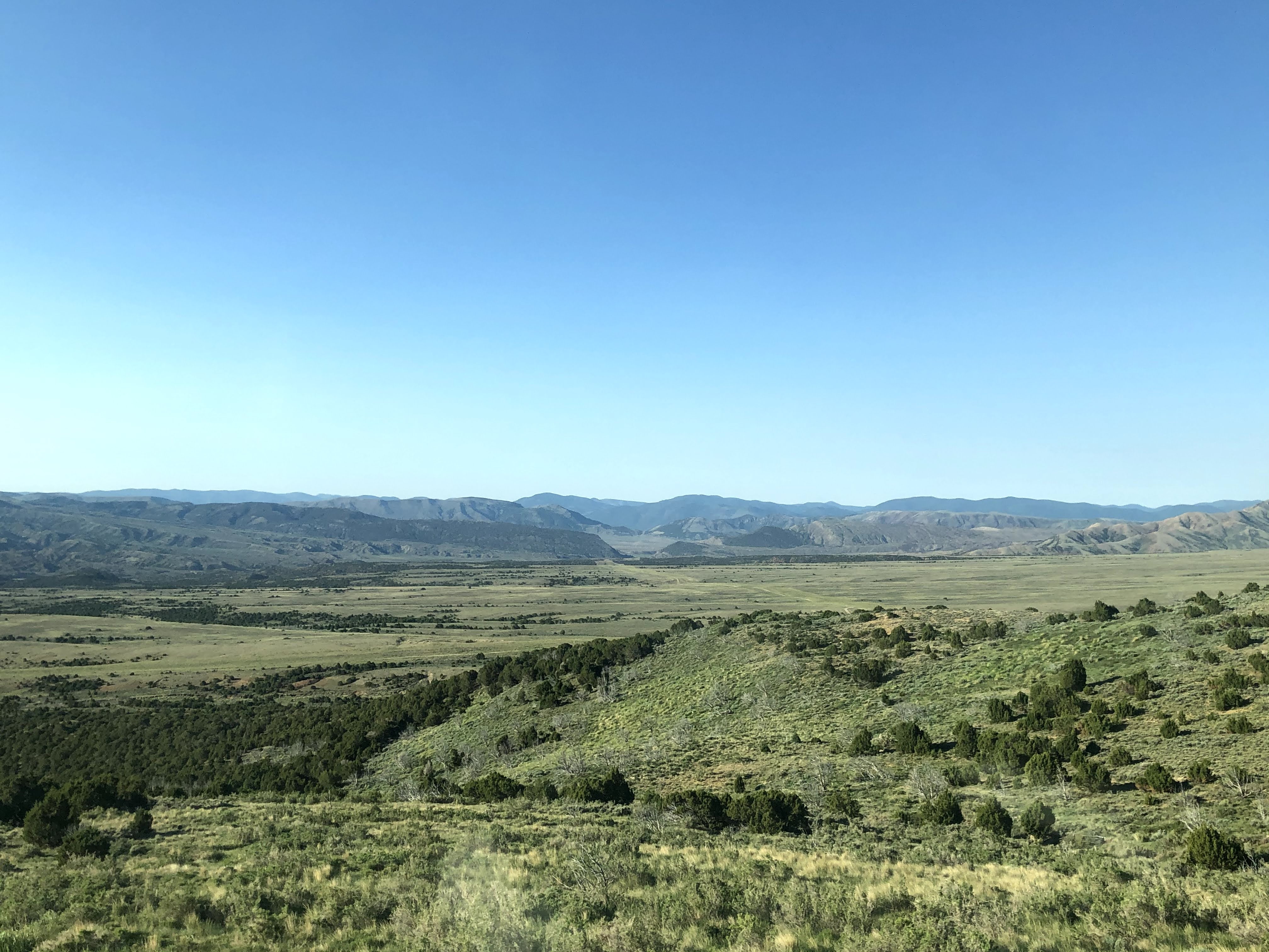
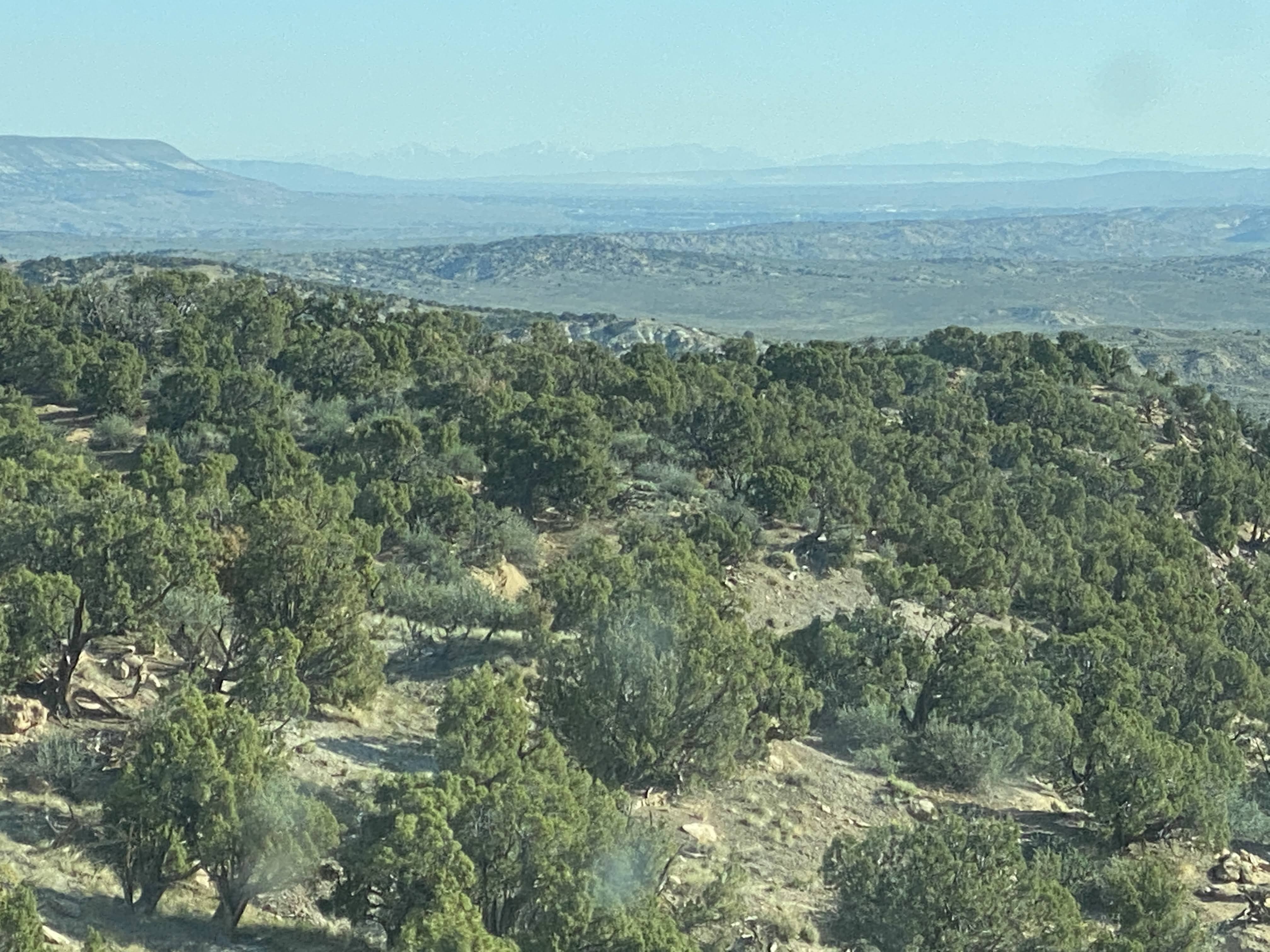
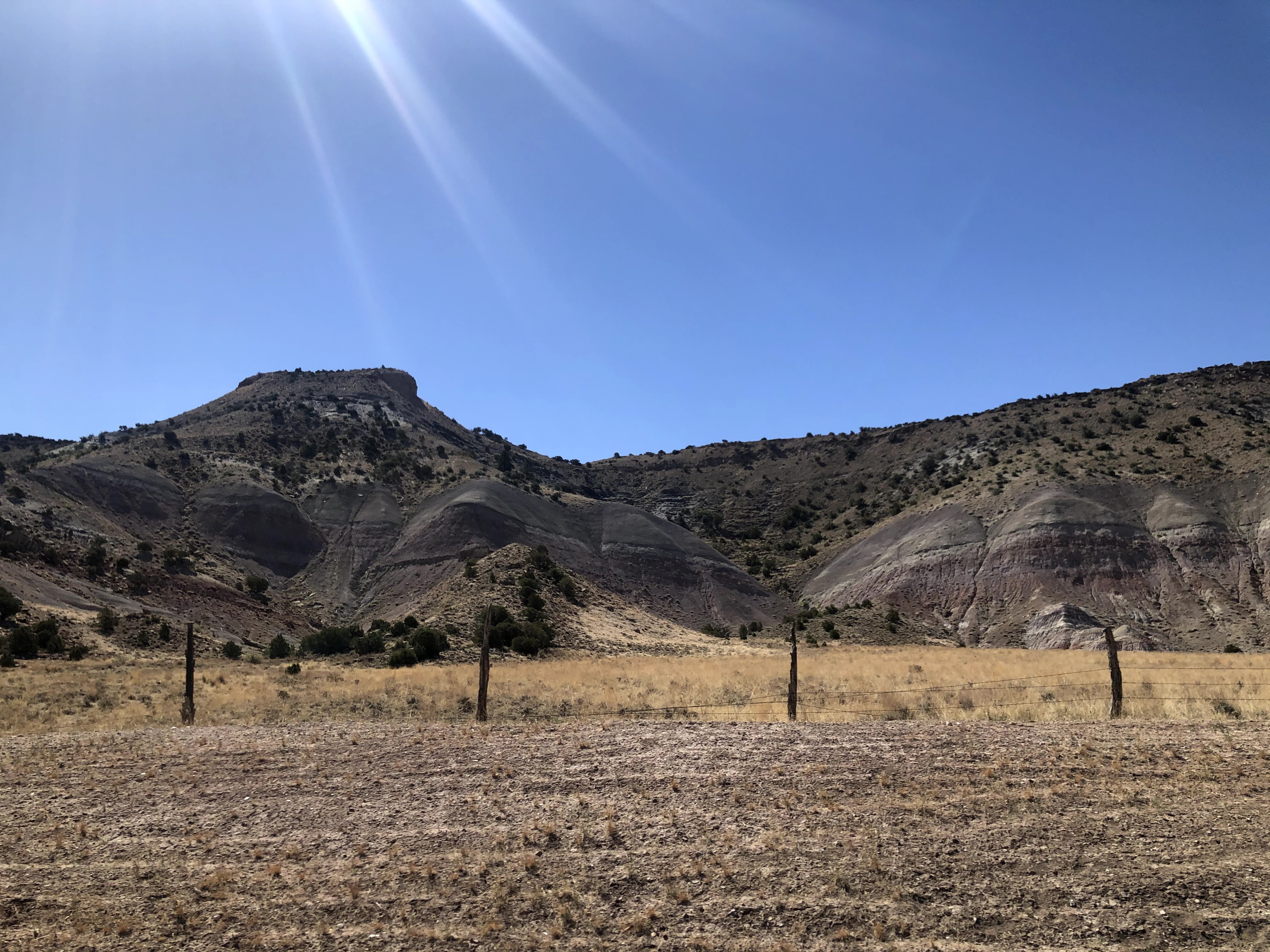
The views are very stark, very moon-like…
Mountains are rocky and very distinct…
We climbed the mountains, as usual. The road got windier, and the pavement got rougher. In fact, it was terrible!
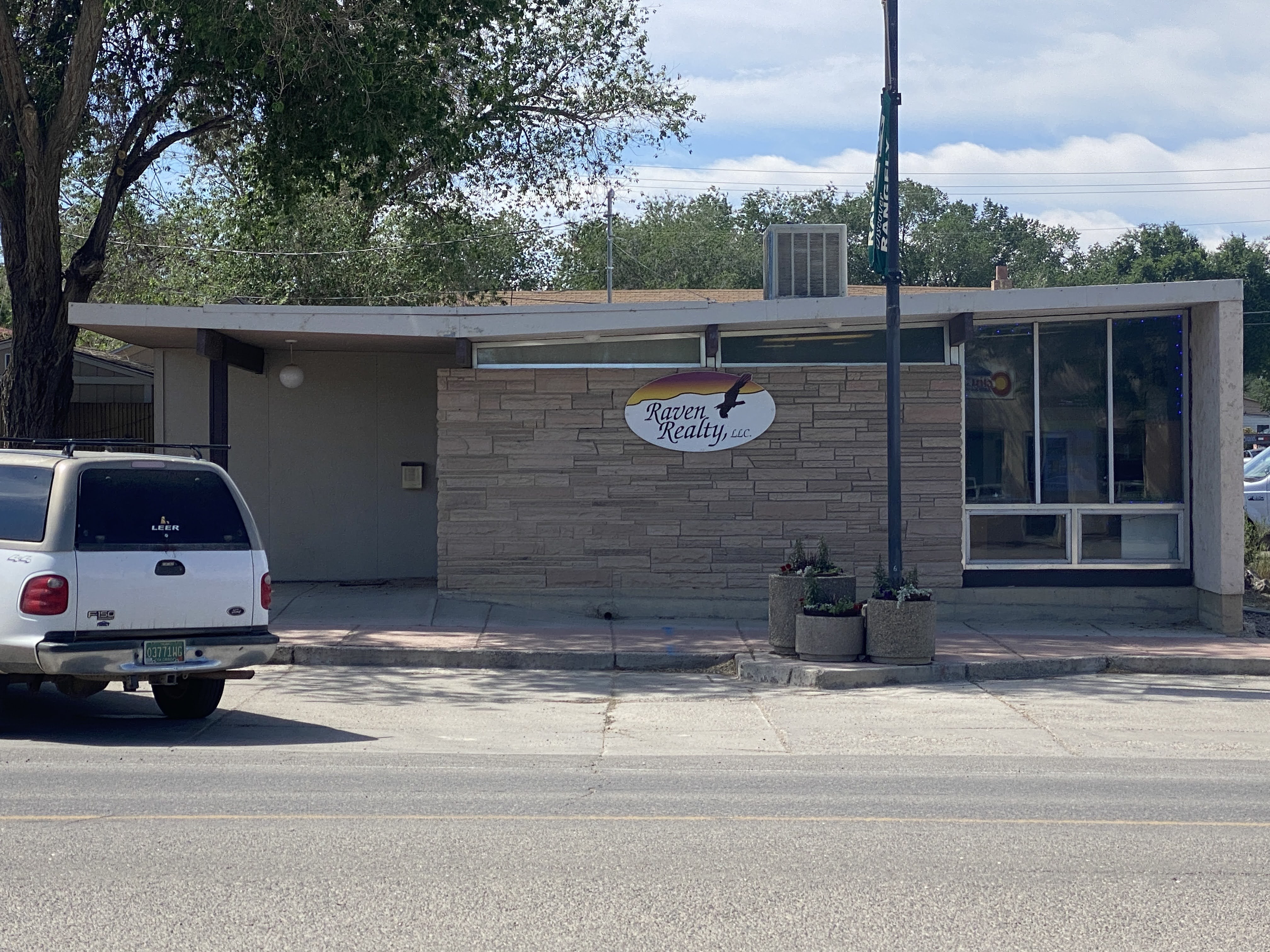
We turned west, and entered the town of Rangley. We parked the Villa and walked the length of the town. We ate lunch at Dottie’s Diner. Best French fries we’ve had on this trip! But the chili had absolutely no spice or heat to it – I suspect there wasn’t even salt and pepper… But we easily put these things aside, and we enjoyed our meal…
Walking back to the Villa we passed one of the very few modern building we have seen on this trip…
We walked back to the Villa and continued west, into Utah!
We proceeded west, passing through Dinosaur, CO, where the local townsfolk have a lot of fun naming their streets things like Brontosaurus Street and naming their ice cream parlor “Bedrock”…
Utah looks a lot like Colorado here…
We proceeded west, finally arriving at the tiny town of Jensen, UT. We turned north and entered Dinosaur National Monument…
Our RV park is in a valley adjacent to the Green River. The Green River here is about as large as the Colorado River was near Fruita. Many miles south of here, just north of Moab, Utah, in the city of Green River, Utah, the Green joins the Colorado, and the Colorado becomes a very large river. It was at this point, on the Green River, that John Wesley Powell began his exploration of the Colorado River, starting in 1869, eventually traveling through the Grand Canyon…
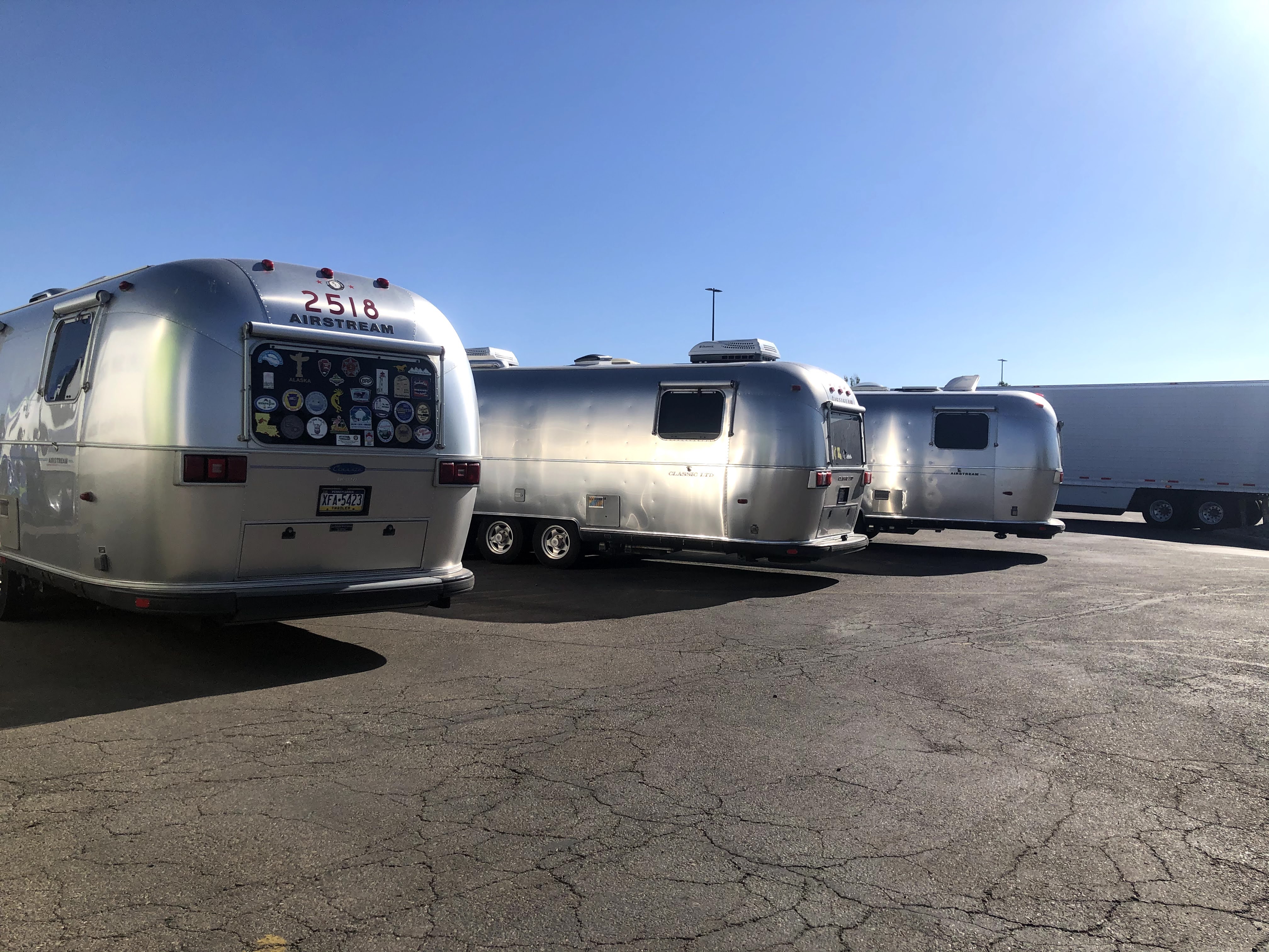
We set up the Villa in the park. We are “dry camping” here – no electricity, water, or sewer hook-ups. We are really roughing it! I set out the solar panels, and I hope we won’t have to bring out the generators…
We left the RV park to visit the Dinosaur National Monument Visitors Center and Quarry Exhibits.
We approached the Visitors Center. Quite a nice modern building…
Dinosaur National Monument is located on the southeast flank of the Uinta Mountains on the border between Colorado and Utah at the confluence of the Green and Yampa rivers. Although most of the monument area is in Colorado, the Dinosaur Quarry is located in Utah, north of the town of Jensen. The nearest Colorado town is Dinosaur, while the nearest cities in Utah are Naples and Vernal.
Originally preserved in 1915 to protect its famous Dinosaur Quarry, the monument was greatly expanded in 1938 to include its wealth of natural history. The park’s wild landscapes, topography, geology, paleontology, and history make it a unique resource for both science and recreation. The park contains over 800 paleontological sites and has fossils of dinosaurs including Allosaurus, Deinonychus, Abydosaurus, and various sauropods. The Abydosaurus fossil consists of a nearly complete skull, the lower jaw, and first four neck vertebrae.
Paleontologist Earl Douglass of the Carnegie Museum discovered eight vertebra of an Apatosaurus on August 17, 1909, which became the first dinosaur skeleton discovered and excavated at the new Carnegie Quarry. The area around the quarry was declared a national monument on October 4, 1915.
We took a shuttle from the Visitors Center up to the Quarry…
The Quarry Exhibit Hall is a magnificent building, built into the side of the mountain, to shield the quarry exhibits from the elements, and to show visitors what the bones and fossils look like when they are uncovered.
Again, I find the building much more interesting than dinosaur bones… I found this picture of the original building, erected in 1958. Unfortunately, due to the soils under the building and the seismic activity over the years, the original building was condemned in the 1990s, and totally reinforced and rebuilt. Note the difference between today’s building, above, and the original building, below…
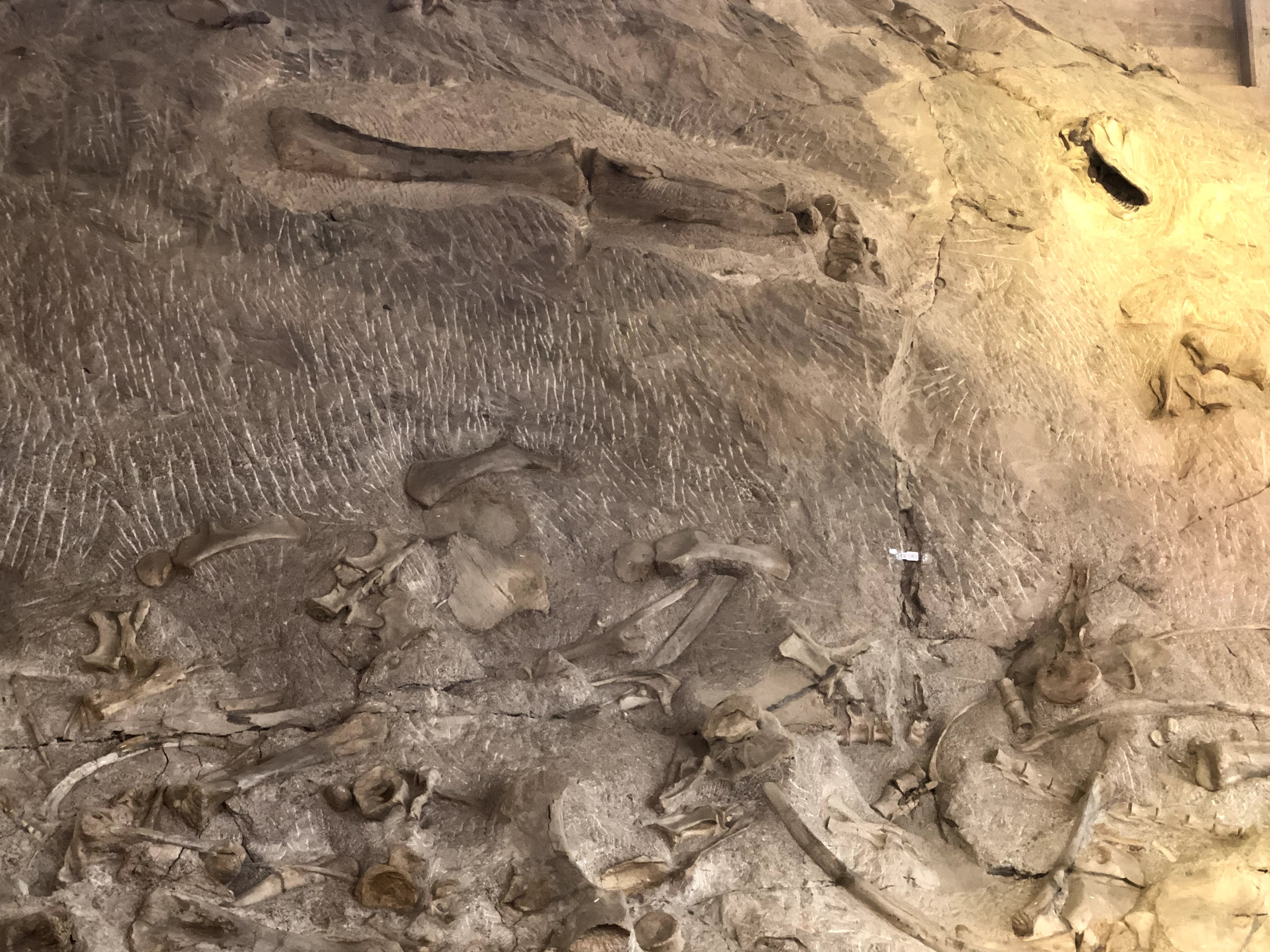
Inside is a giant, two level exhibit hall, allowing visitors to see the fossils and bones on display…
All these fossils and bones are in their “as-found” condition… It is quite a display…!
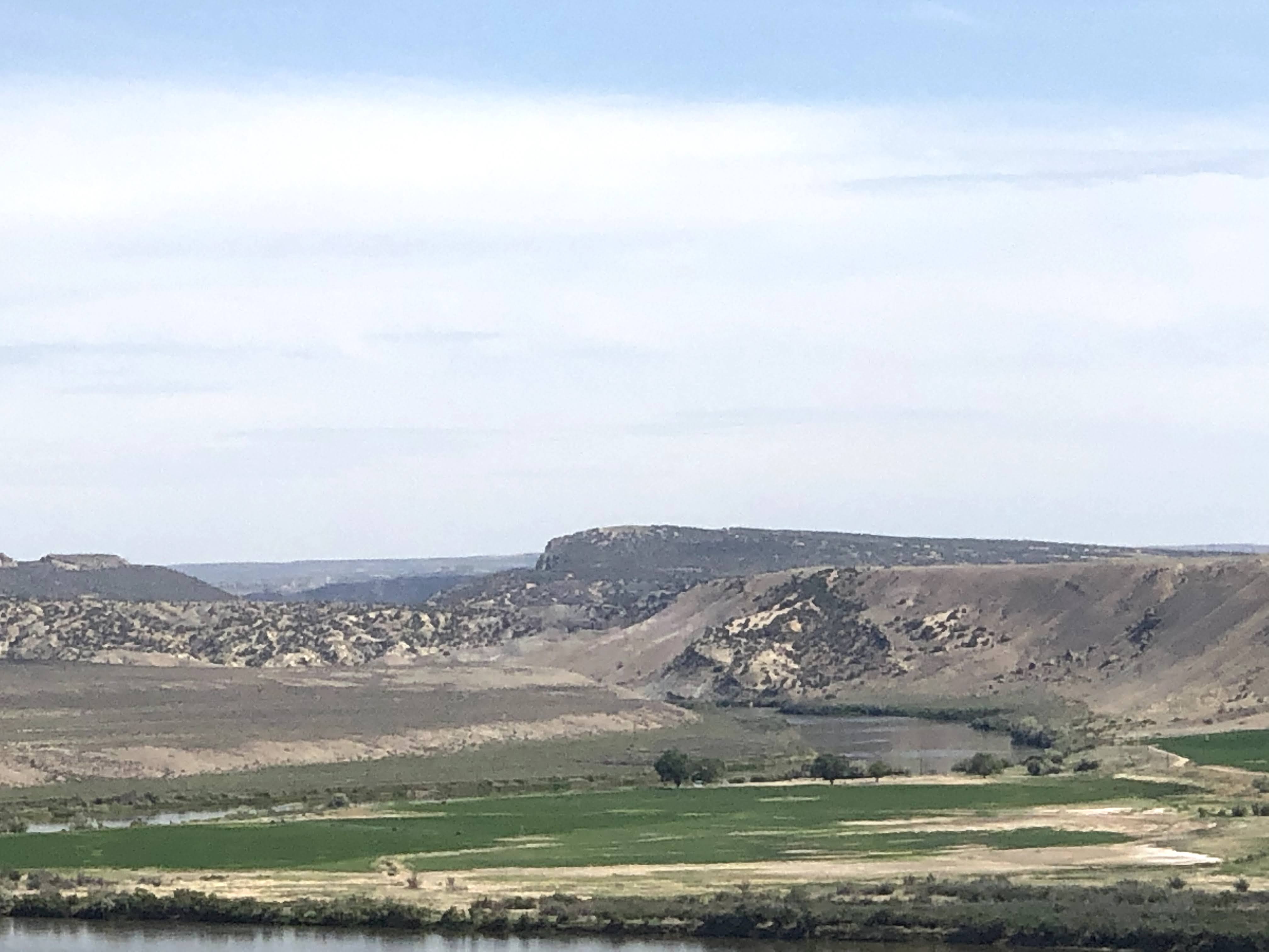
The views were great from the Quarry Exhibit… After we had had enough of bones and fossils, we returned to the Villa…
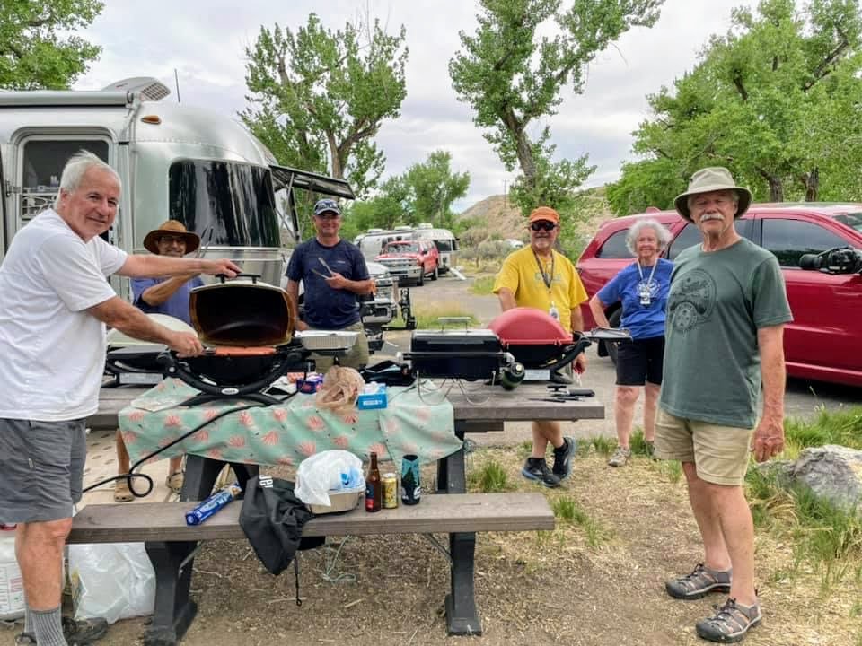
Happy Hours ensued, which turned into a weenie roast..
This is a typical thing on Airstream caravans – social get-togethers to share ice cream, birthday cake, or, in this case, a weenie roast…
We have cooking crew volunteers to set these things up…
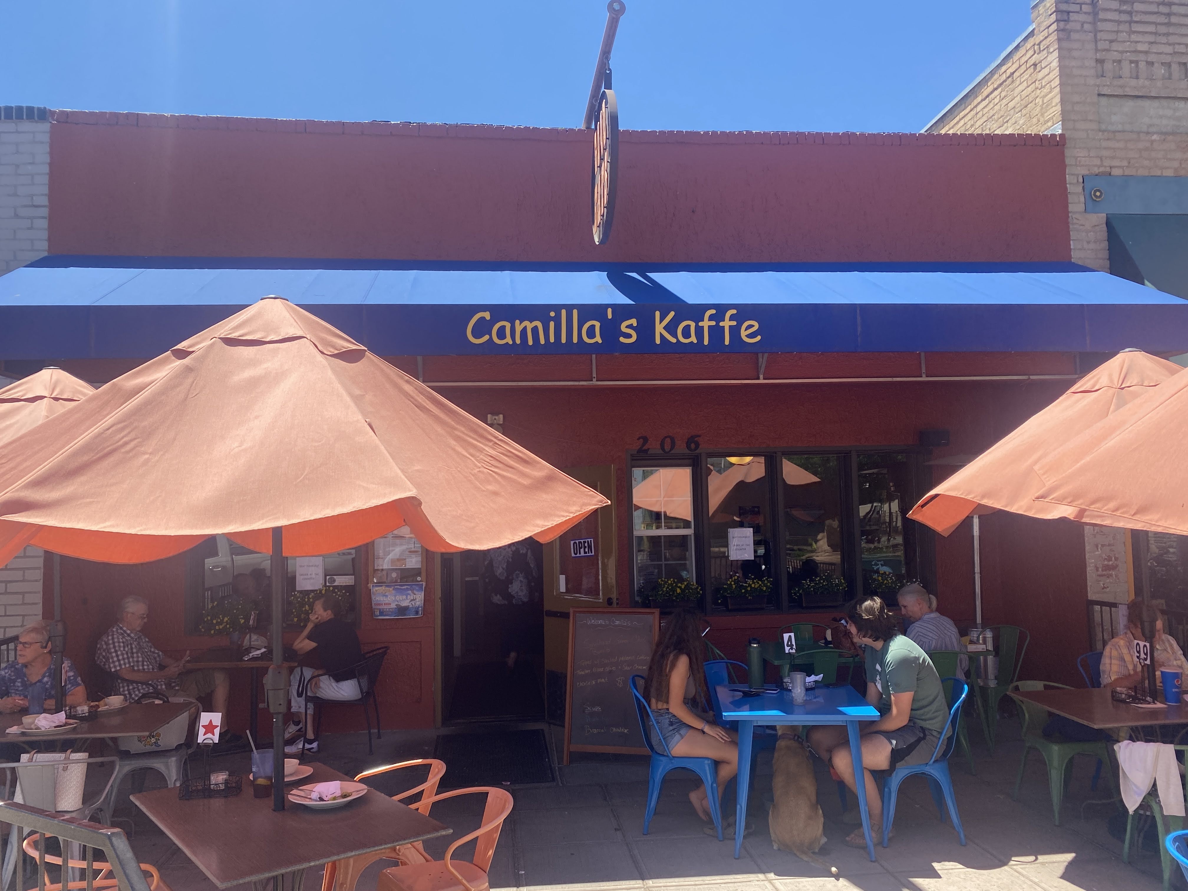
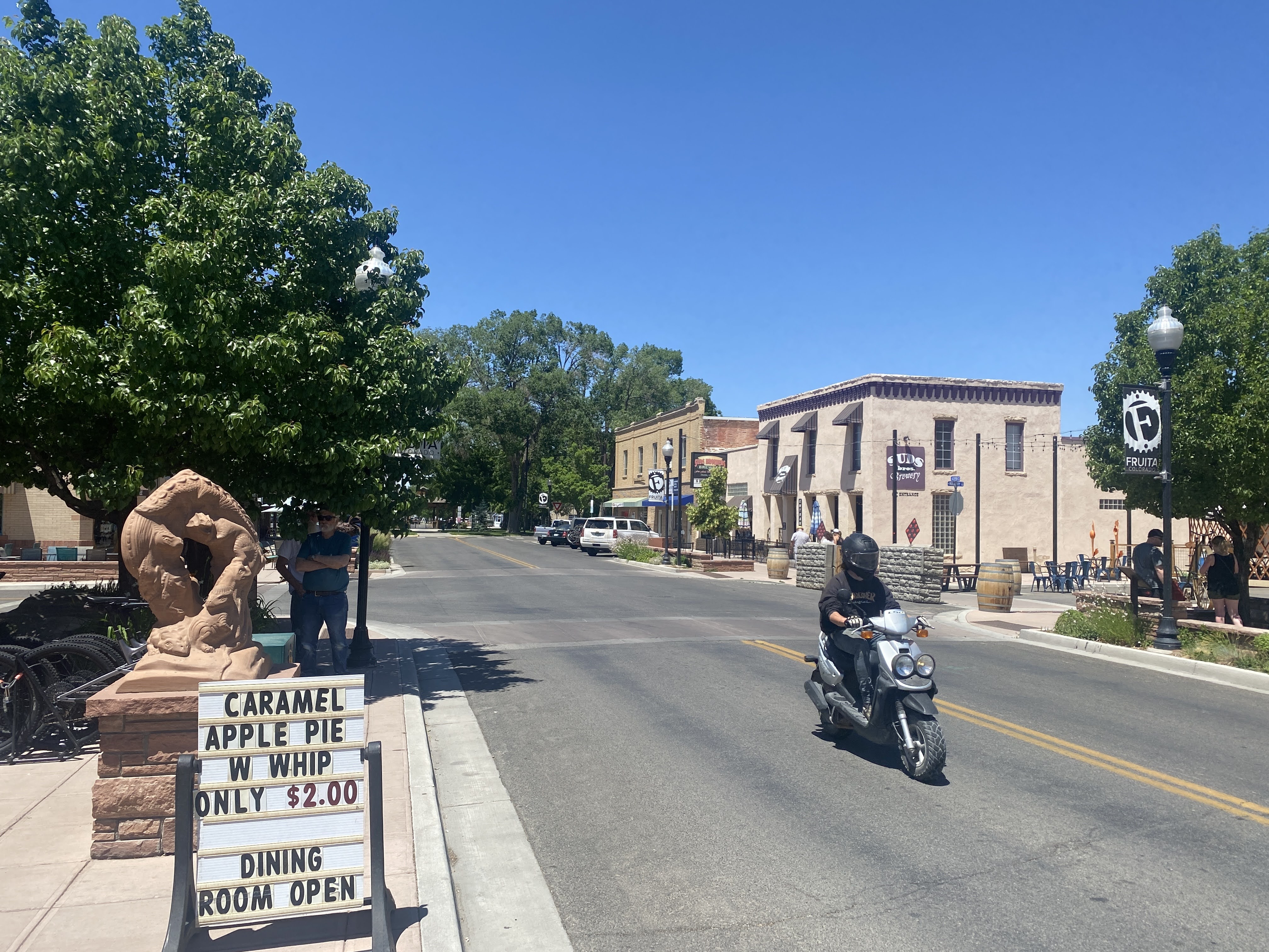
We stayed in the Villa in the morning, catching up on various chores. In the early afternoon we drove into the town of Fruita. We walked the three block long downtown… It’s a pretty nice place…
We stopped in to Camilla’s Kaffe for lunch. We enjoyed lunch on a patio table…
After lunch we walked about a little more…
We found Kokapelli, right here in Fruita!
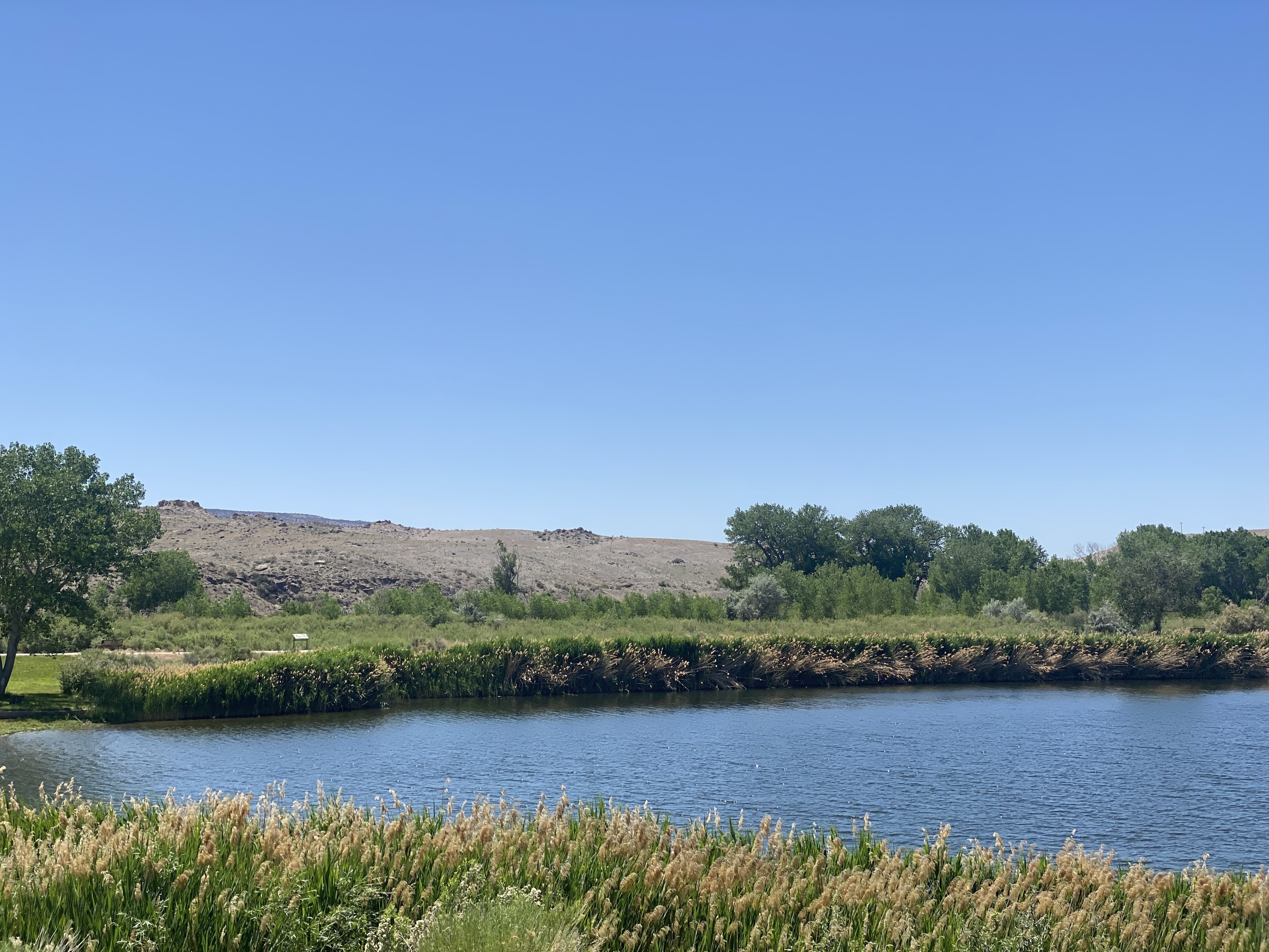
Back at the RV Park we walked around a few more lakes…
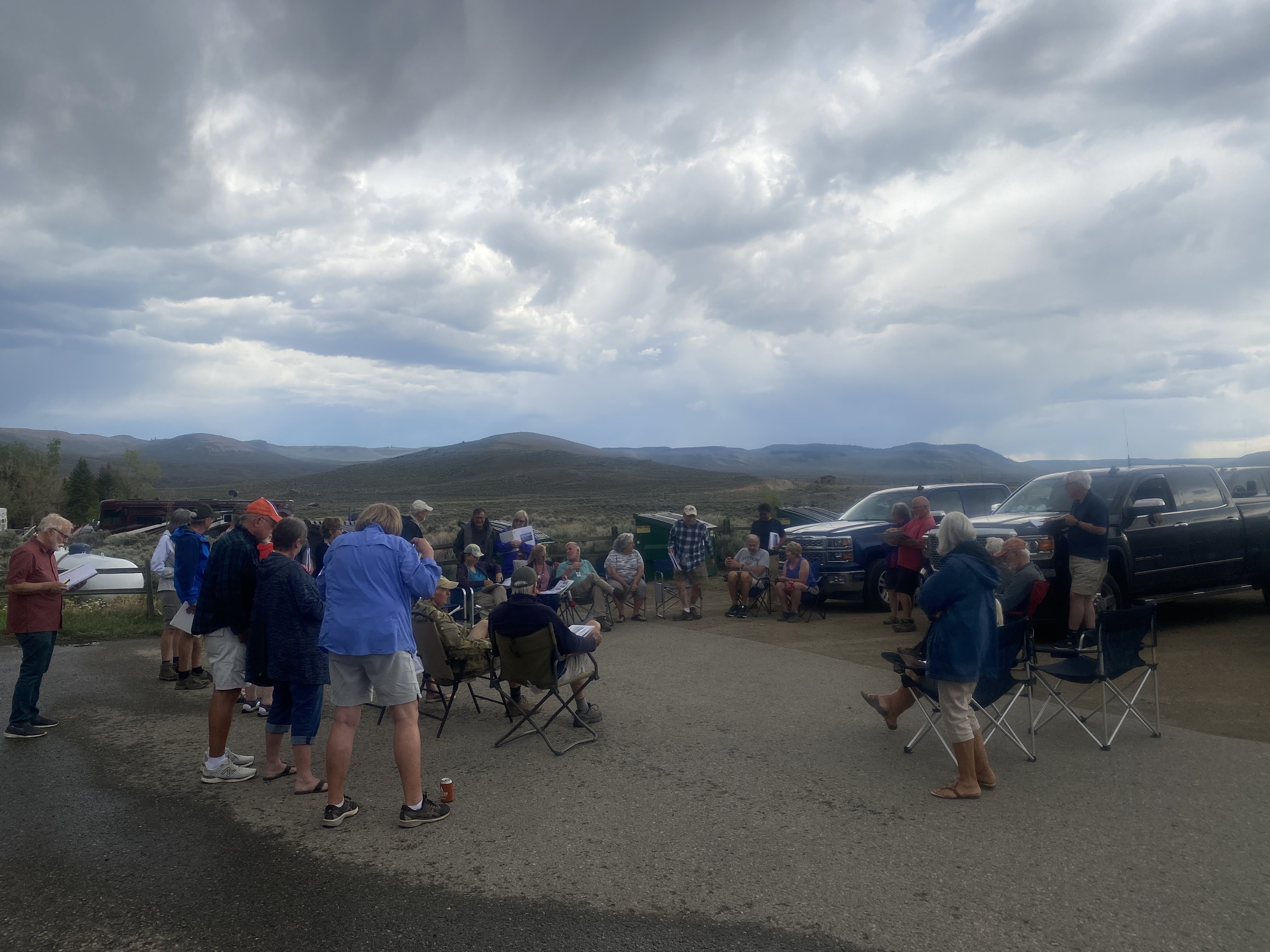
This evening was another GAM and a Drivers’ Meeting…
And a fairly nice sunset…
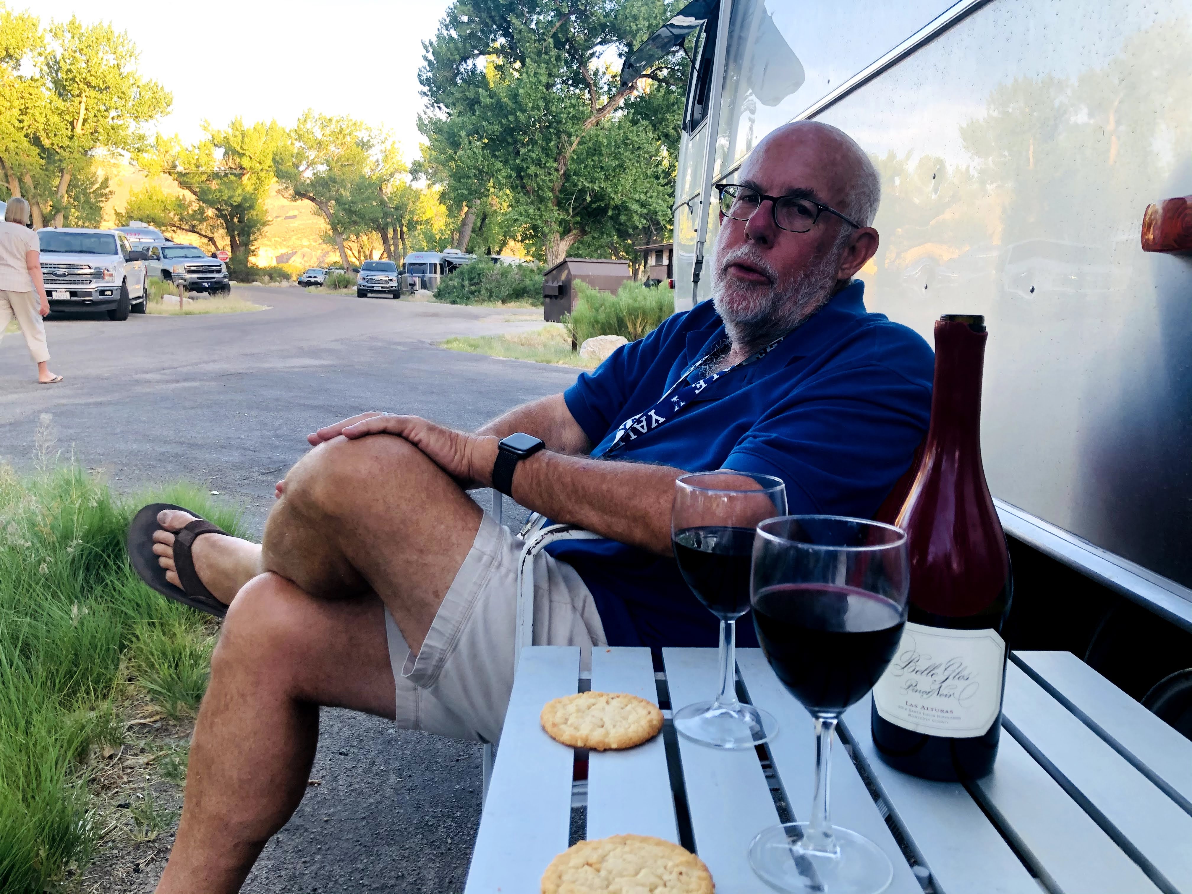
We returned to the Villa for dinner, and an enjoyable time was had by all…
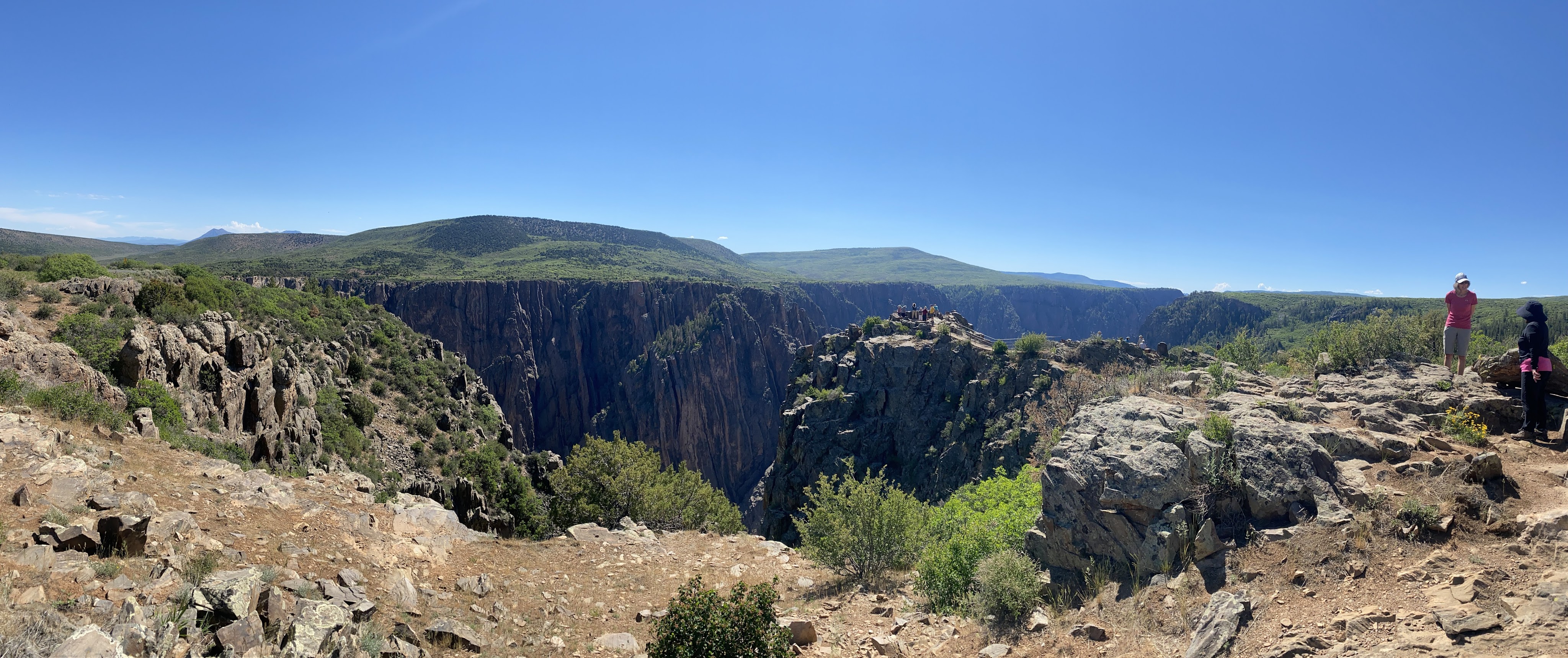
Outing of the day is Black Canyon, in the Gunnison National Park.
We drove west from the RV park, enjoying the quiet beauty of this area…
Our first hint of the awe-inspring cliffs of Black Canyon occurred just after entering the park….
Black Canyon of the Gunnison National Park is in western Colorado. It surrounds part of a deep, steep-walled gorge carved through Precambrian rock by the Gunnison River. Roads and trails along the north and south rims have views of the Black Canyon’s dramatic drops and the striated Painted Wall cliff. The winding East Portal Road descends to the river. Wildlife includes mule deer, elk and golden eagles.
Big enough to be overwhelming, still intimate enough to feel the pulse of time, Black Canyon exposes you to some of the steepest cliffs, oldest rock, and craggiest spires in North America. With two million years to work, the Gunnison River, along with the forces of weathering, has sculpted this vertical wilderness of rock, water, and sky.
John Williams Gunnison (born November 11, 1812 in Goshen, New Hampshire) attended Hopkinton Academy, where after one term, he went on to teach at the local school. During his years as a teacher, he prepared himself to enter West Point Military Academy. In June of 1837 he graduated second out of fifty.
Gunnison’s first sight of the western lands came as a member of the Captain Stansbury Utah Territory Expedition of 1849. Gunnison, having caught the exploration bug during his previous expeditions in Florida and Michigan, was thrilled to embark on this new adventure. Their task was to explore the route to the Mormon community in Utah.
The canyon has been a mighty barrier to humans. Only its rims, never the gorge, show evidence of human occupation – not even by Ute Indians living in the area since written history began.
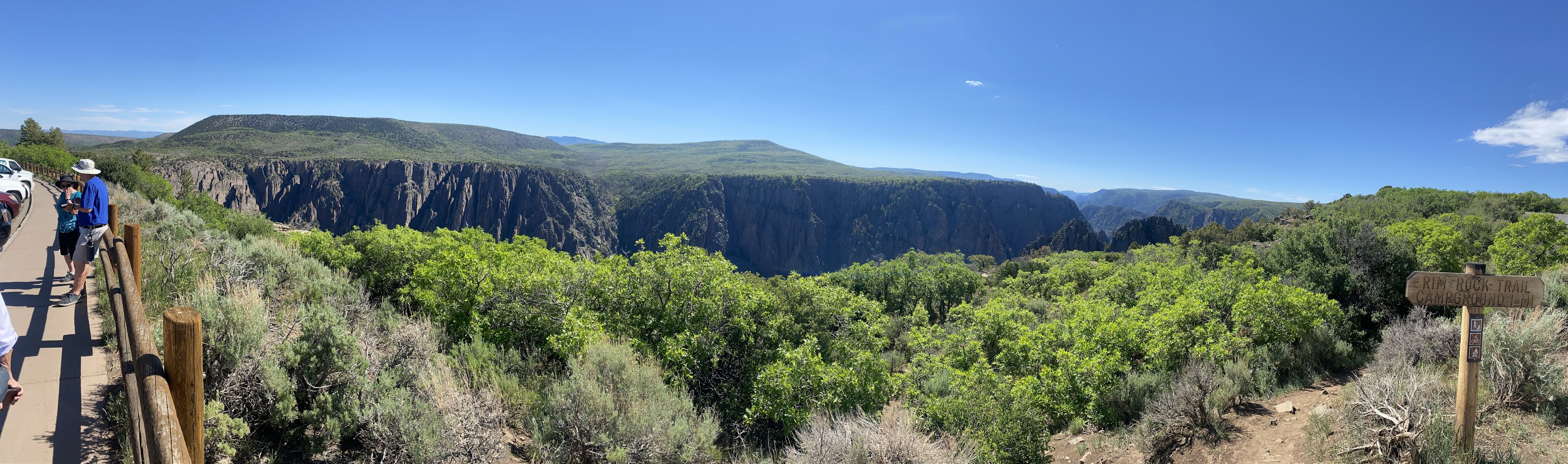
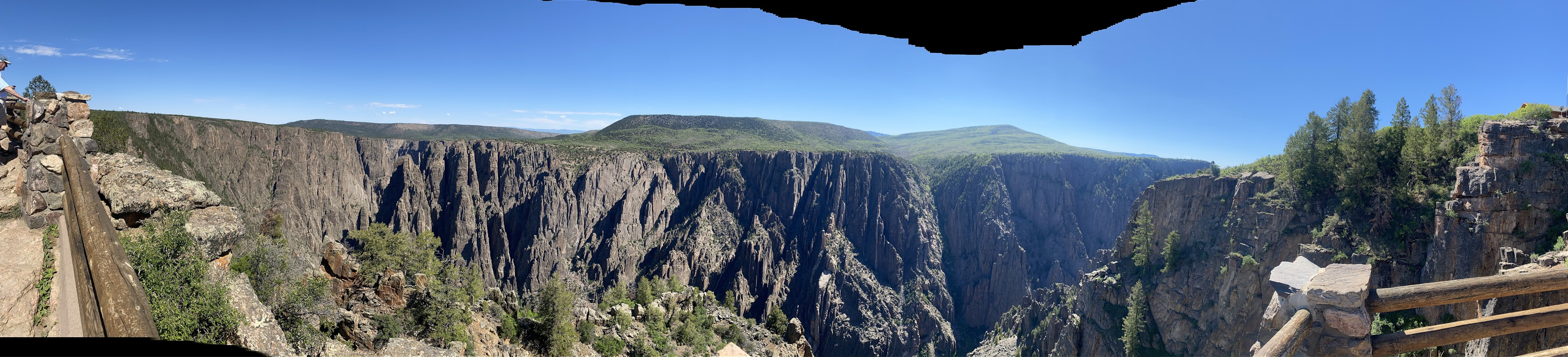
We drove the loop road along the south rim. There are turn-outs to park, then we can walk down to viewpoints…
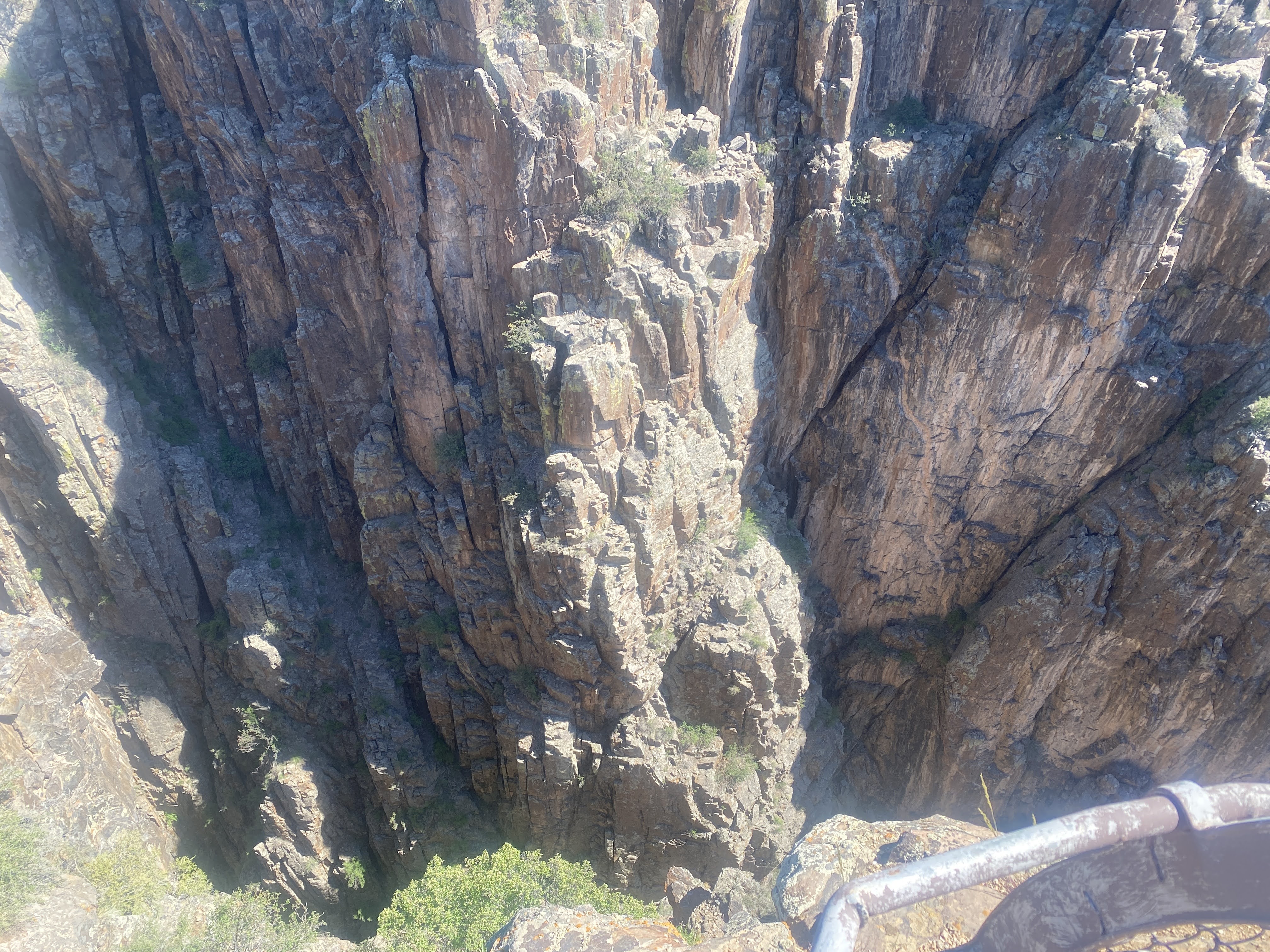
What we are looking at here are Pegmatite Dikes, which form when water is separated from lava as these mountains are pushed up from the crust of the earth. The water is forced though fractures in the rock. The water then forms crystals, which in turn produces pegmatite dikes.
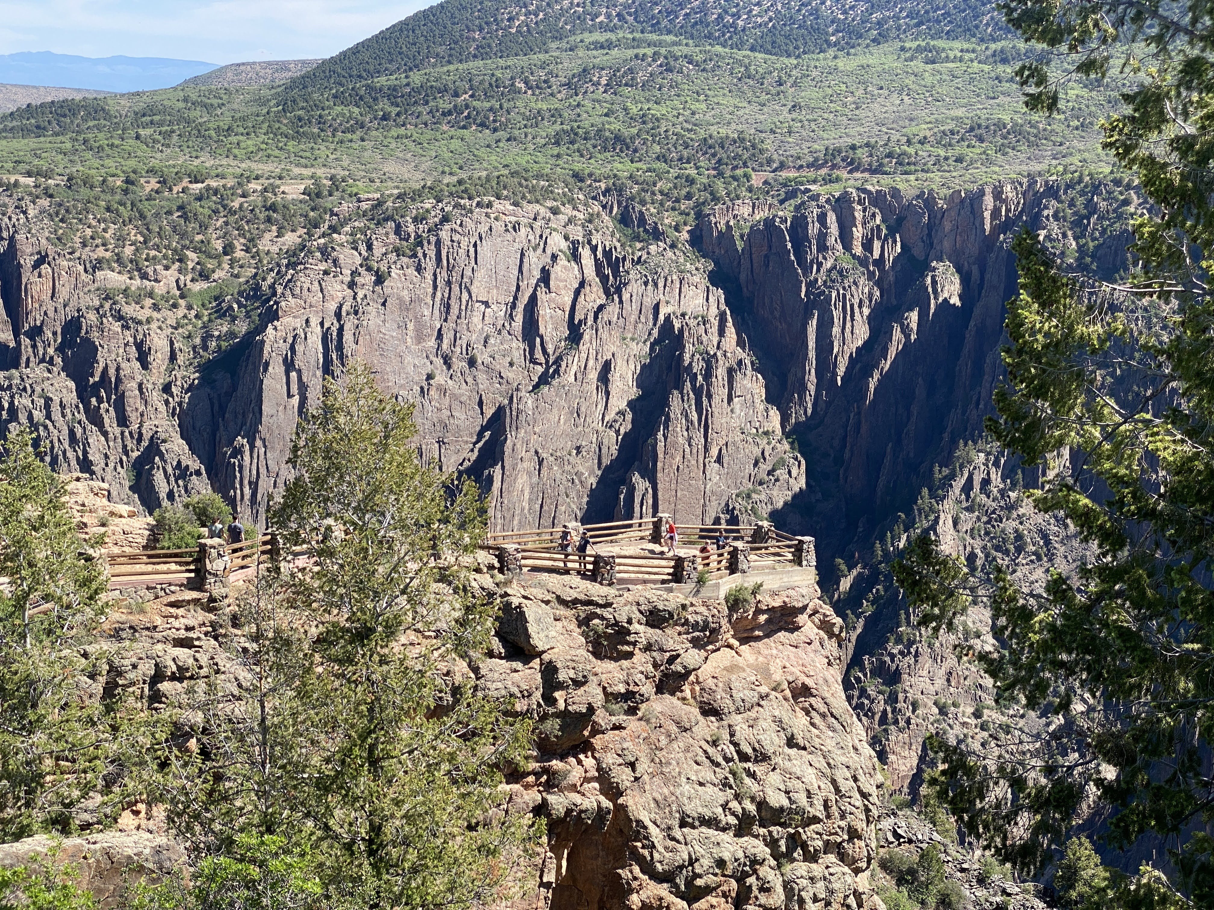
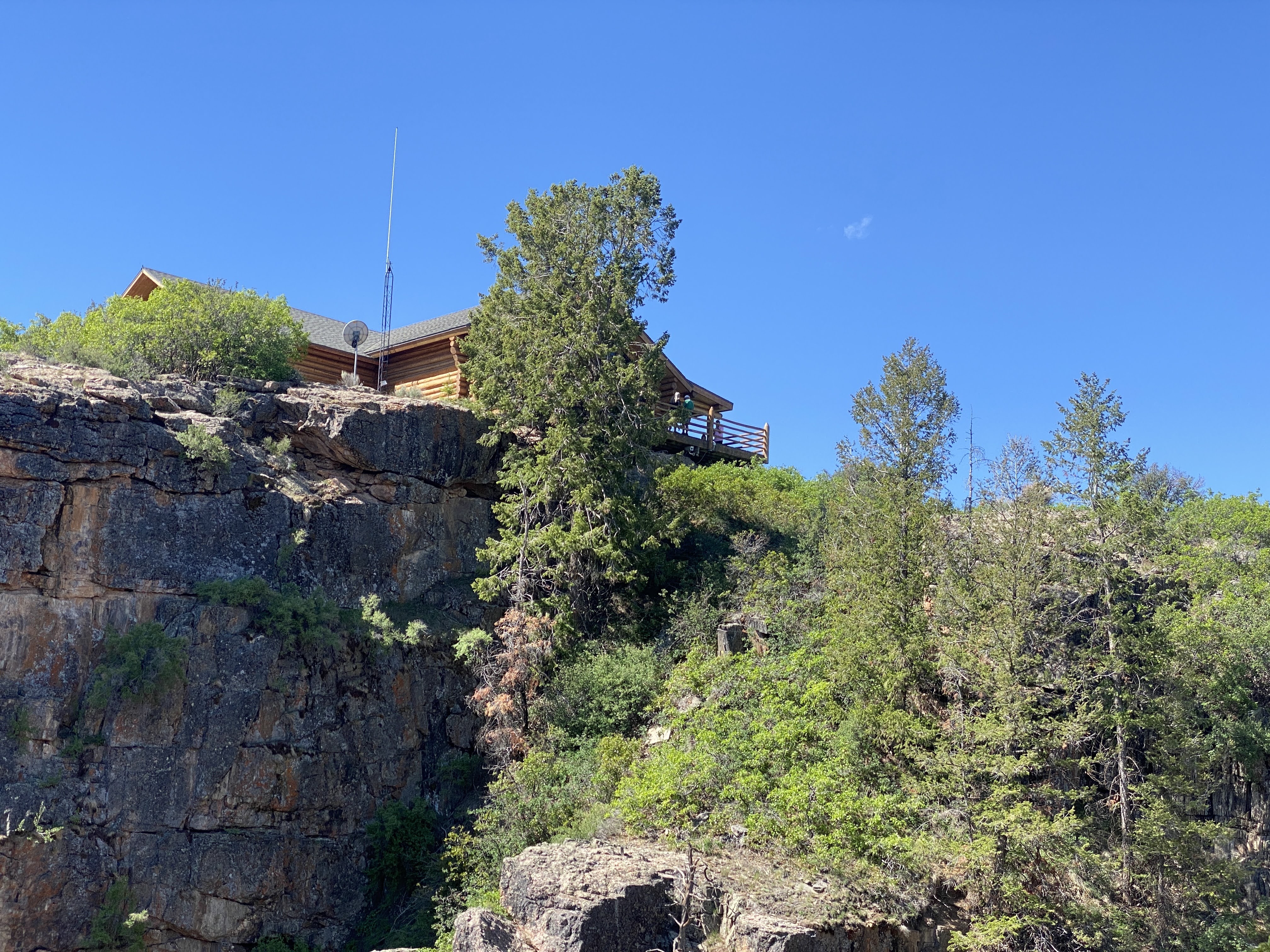
We are at the visitors Center, looking down at a viewpoint below…
Here we are at the look-out…
Above us is the Visitors Center…
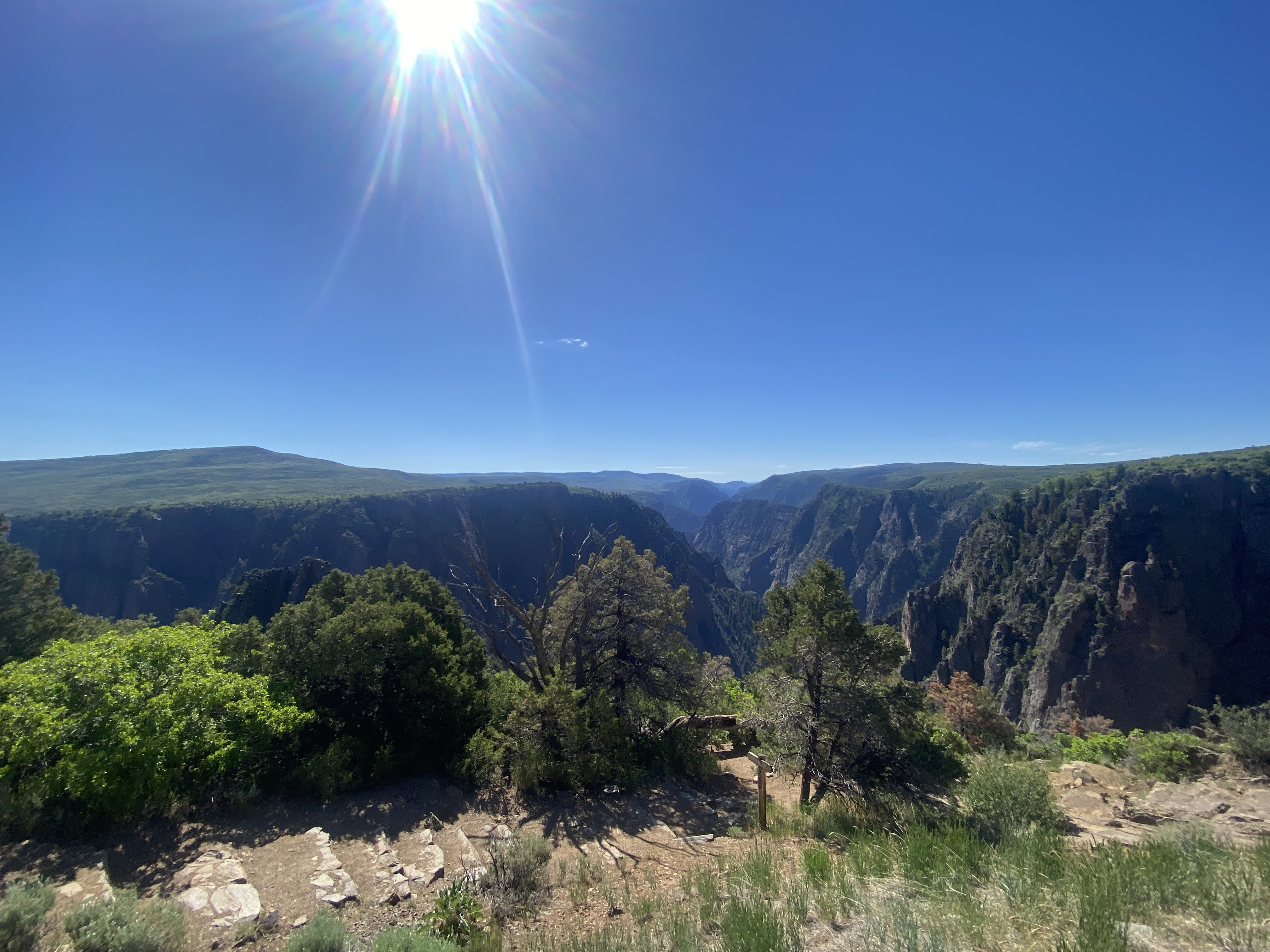
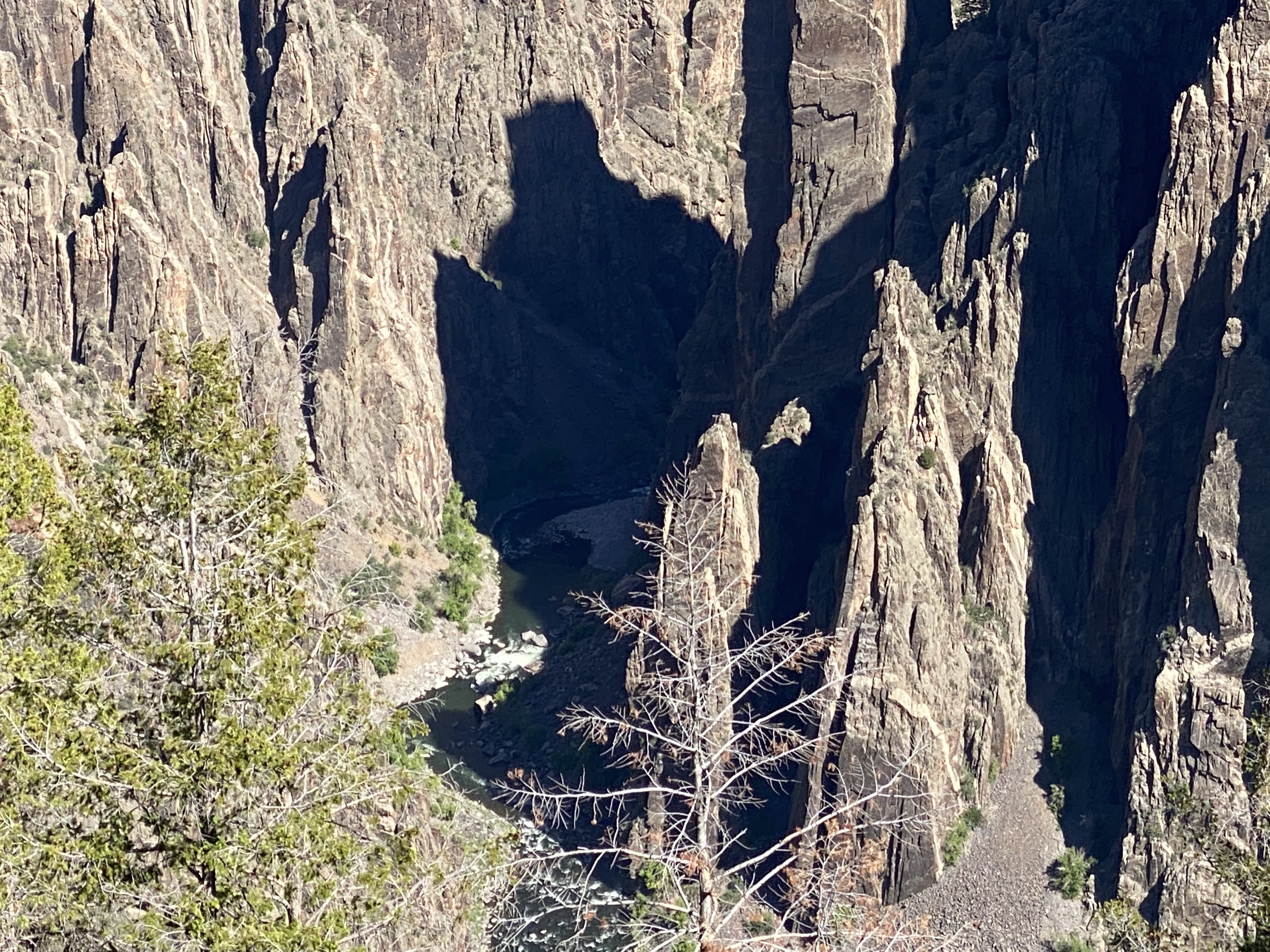
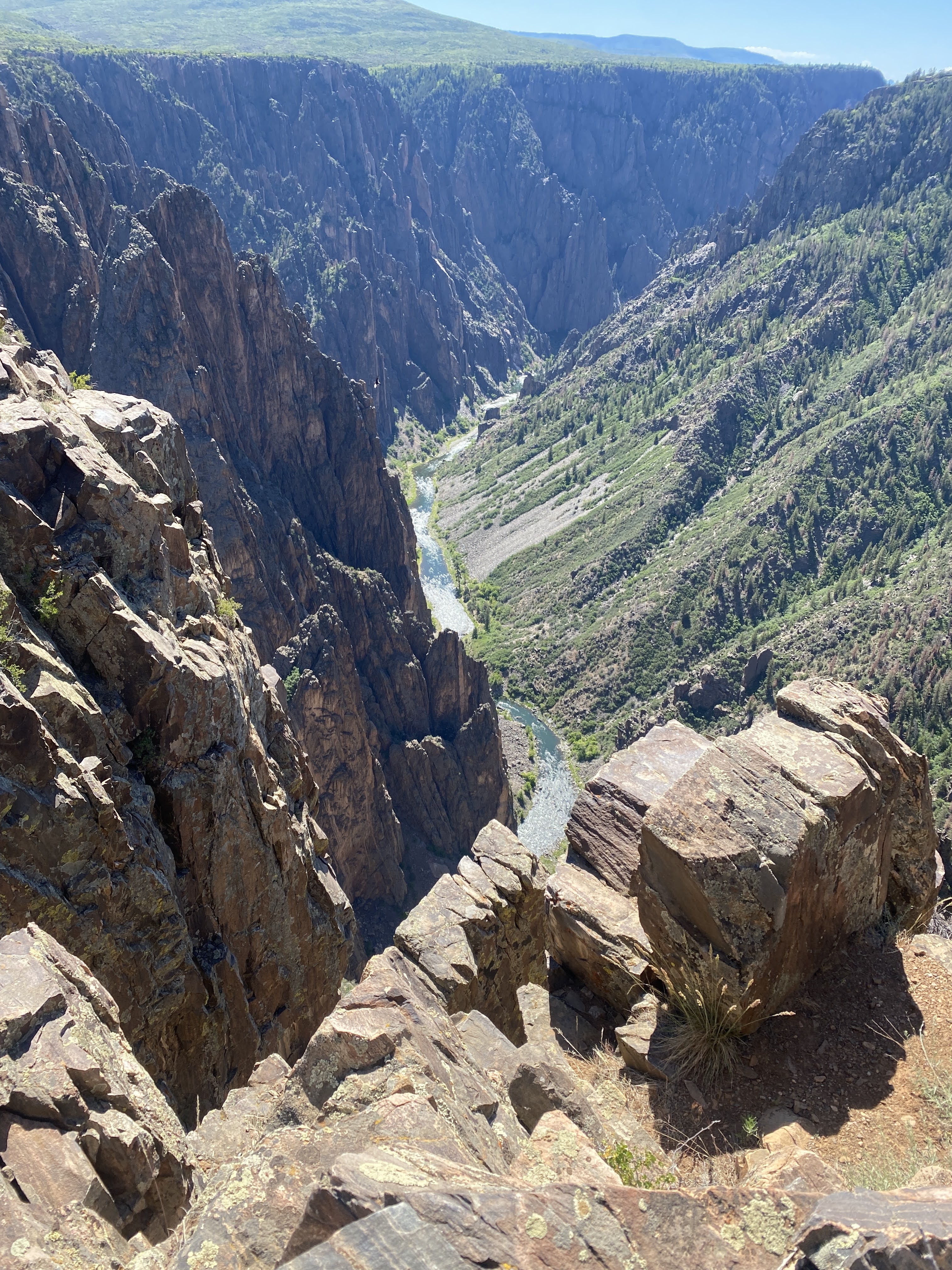
And below is the Gunnison River…
The Gunnison River has been carving this canyon for about 2,000 years…
This is Painted Wall… It is showing the striations of the different rock and crystals. Painted wall is the highest cliff in the park. It is 2,300 feet tall. If the Empire State Building were placed at the river below it would barely reach half way to the top…
Black Canyon is quite amazing in that everything is so close. It is only 48 miles long, 2,700′ deep, and 1,300′ wide at the top (40′ at the narrowest point at the bottom). In comparison, the Grand Canyon is 277 miles long, 18 miles wide, and one mile deep!
After our amazing visit to Black Canyon, I had to write about it… We drove to Gunnison and found a coffee shop with internet access…
After about 3 hours of work, we returned to the Villa. Tonight is the obligatory drivers meeting. Tomorrow we drive to Fruita, CO…