Search

Adventures in the Villa

Category

National Parks

2018-09-18 – WBCCI 2018 Southwest Adventure Caravan – Day 31 – Zion National Park

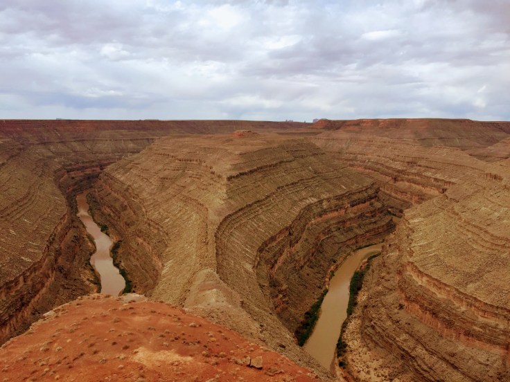
Today we explored Zion National Park…

img_5496

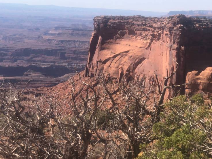
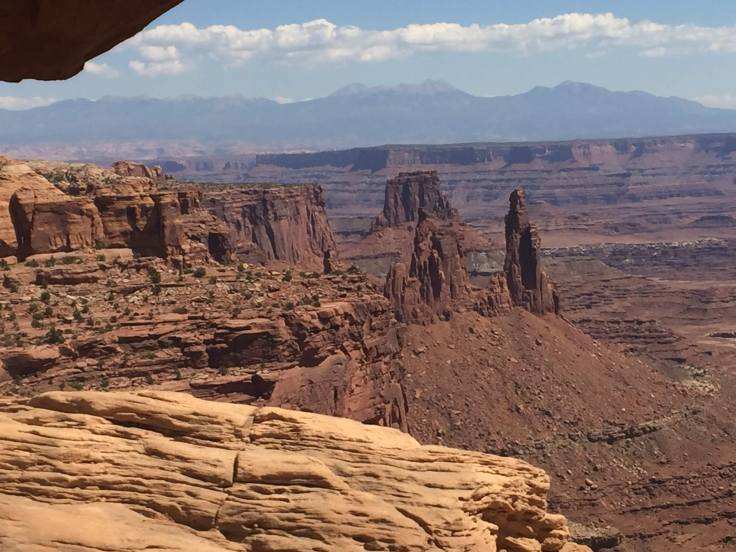
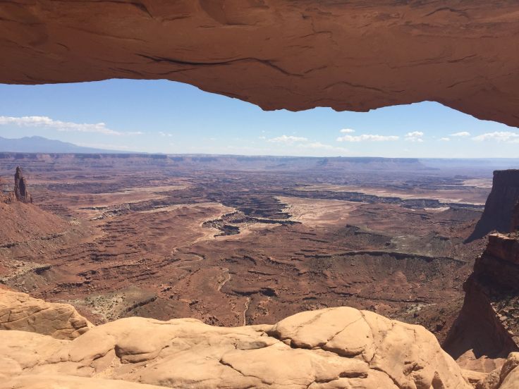
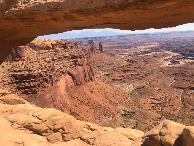
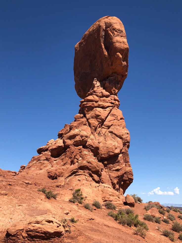
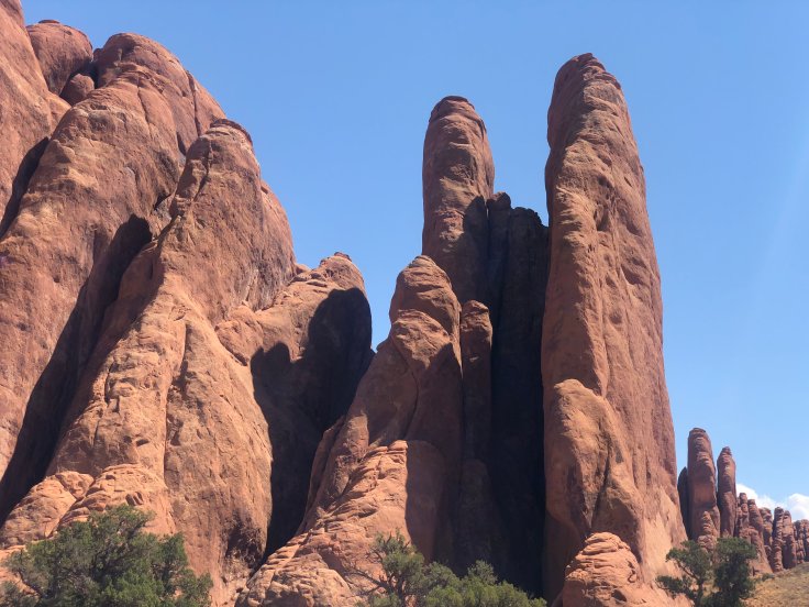
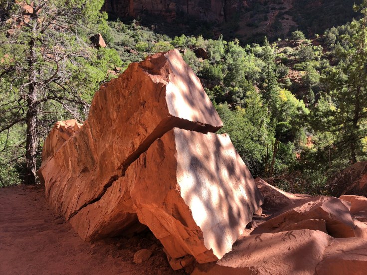
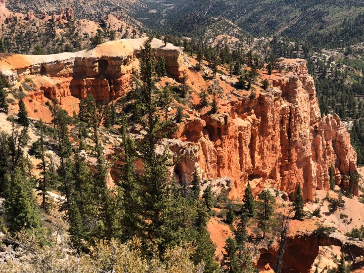
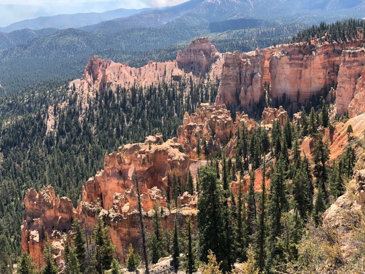
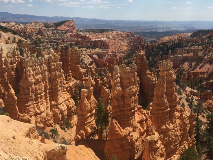
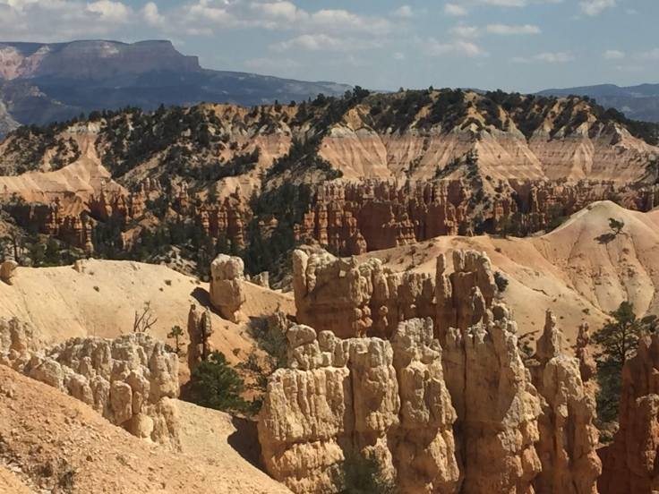
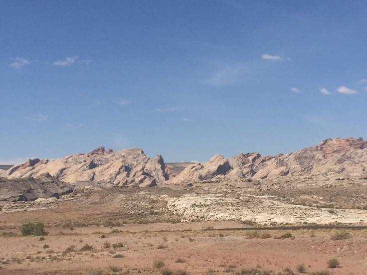
Yes, more rocks… But different rocks, and different colored rocks…

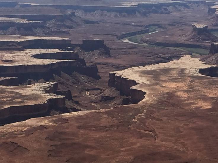
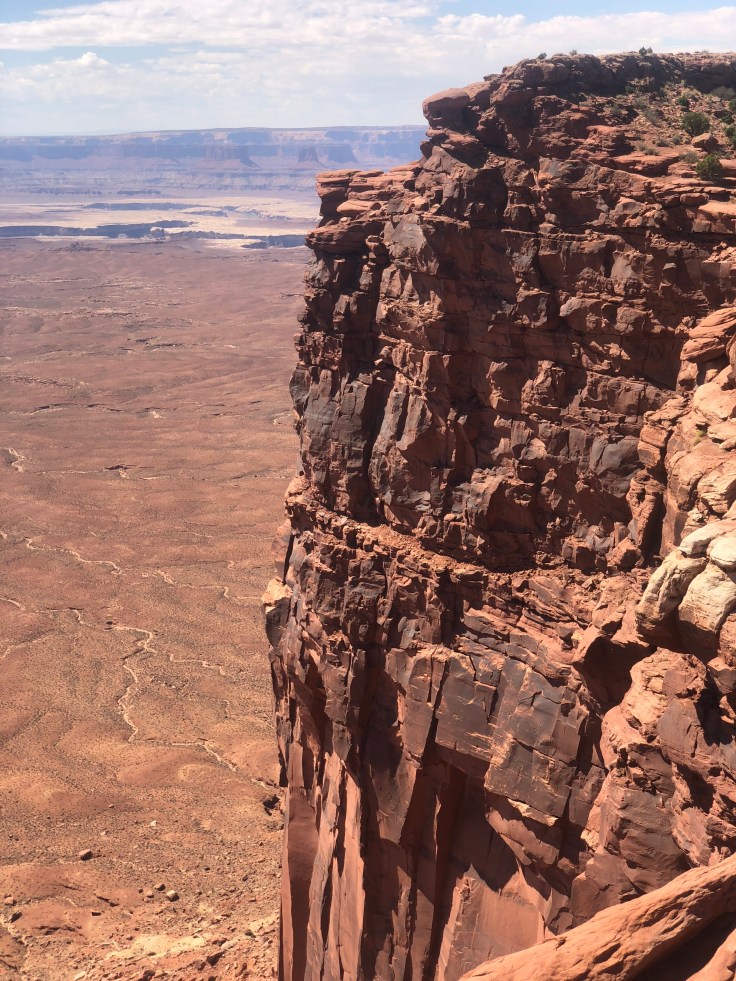
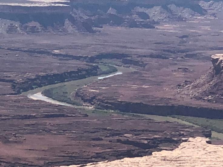
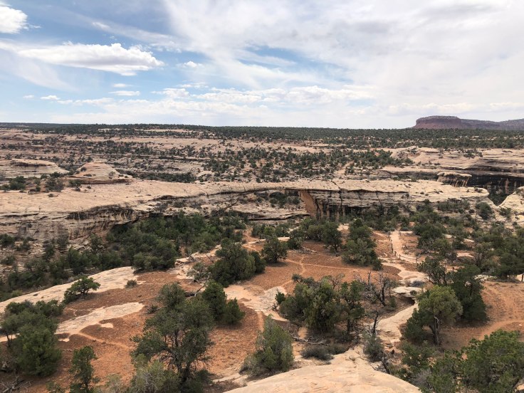
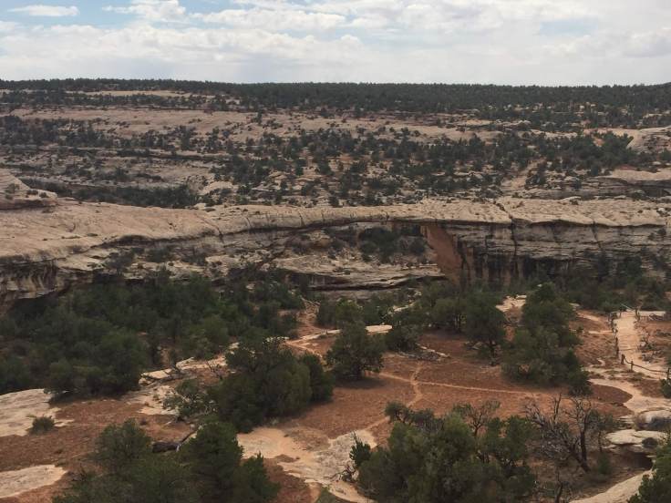
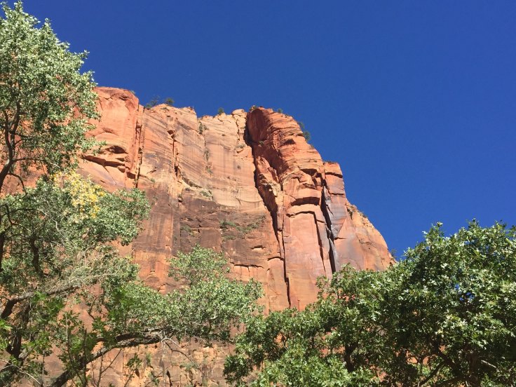
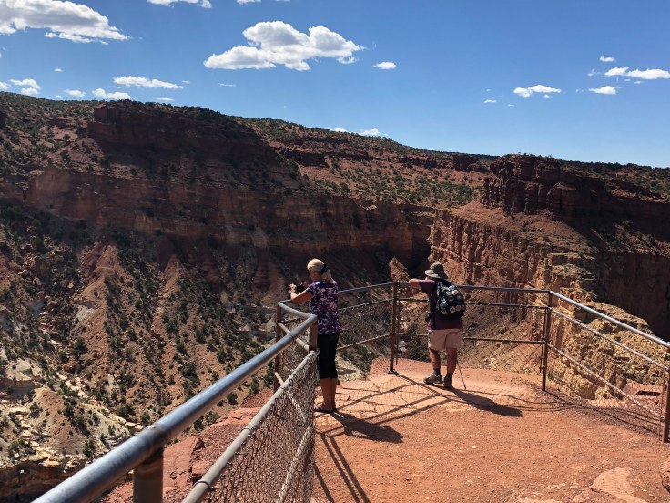
Zion National Park is an national park located in Southwestern Utah near the city of Springdale.  A prominent feature of the 229-square-mile park is Zion Canyon, which stretches 15 miles long and spans up to half a mile deep.  It cuts through the reddish and tan-colored Navajo Sandstone by the North Fork of the Virgin River.  The lowest point in the park is 3,666 ft at Coalpits Wash and the highest peak is 8,726 ft at Horse Ranch Mountain.  Located at the junction of the Colorado Plateau, Great Basin, and Mojave Desert regions, the park has a unique geography and a variety of life zones that allow for unusual plant and animal diversity.

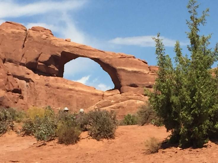
Zion National Park includes mountains, canyons, buttes, mesas, monoliths, rivers, slot canyons, and natural arches.  Human habitation of the area started about 8,000 years ago with small family groups of Native Americans;  however, these Indians moved away by 1300 and were replaced by other Southern Paiute subtribes.  Mormons came into the area in 1858 and settled there in the early 1860s.  In 1909, President William Howard Taft named the area Mukuntuweap National Monument in order to protect the canyon.  In 1918, the acting director of the newly created National Park Service, Horace Albright, drafted a proposal to enlarge the existing monument and change the park’s name to Zion National Monument, a name used by the Mormons.  According to historian Hal Rothman: “The name change played to a prevalent bias of the time.  Many believed that Spanish and Indian names would deter visitors who, if they could not pronounce the name of a place, might not bother to visit it.  The new name, Zion, had greater appeal to an ethnocentric audience.”  On November 20, 1919, the United States Congress established the monument as Zion National Park, and it was signed by President Woodrow Wilson.  The Kolob section was proclaimed a separate Zion National Monument in 1937, but was incorporated into the park in 1956.

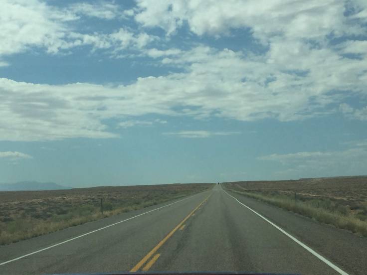
We left the RV park at just before 6:00 am, Utah time… Wow! It is really dark out here!

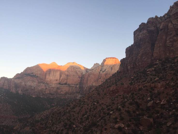
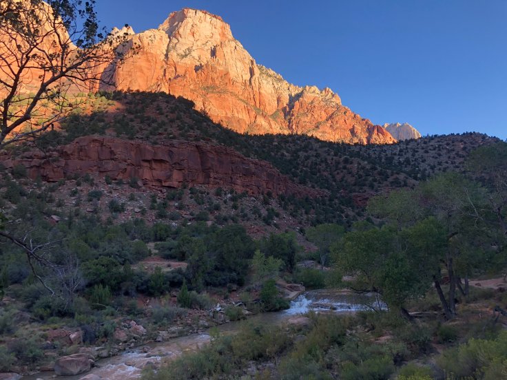
Light finally came just as we arrived at Zion, just after 7:00 am.

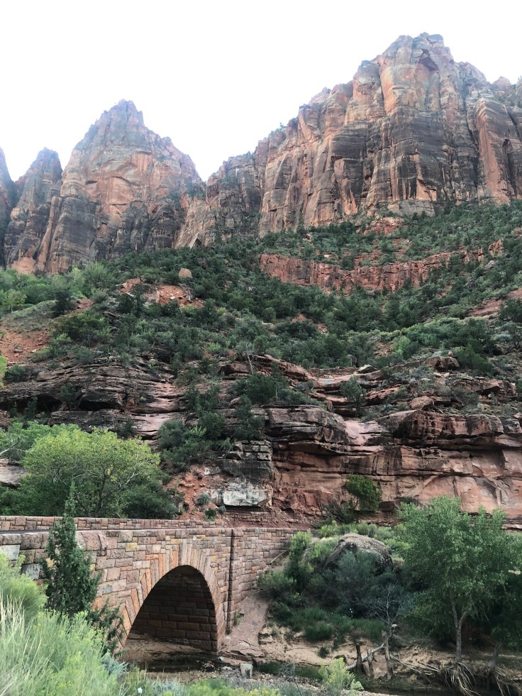
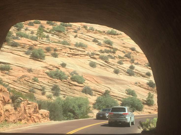
The entrance station was still closed.  We entered the tunnel (1.1 mile long, took 3 years to complete in the 1930s…) and emerged to the sun rising over the valley below…

img_5413

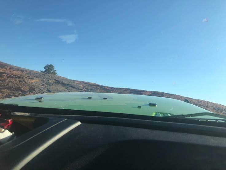
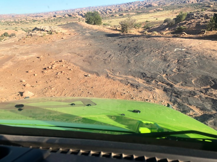
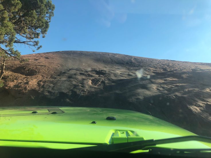
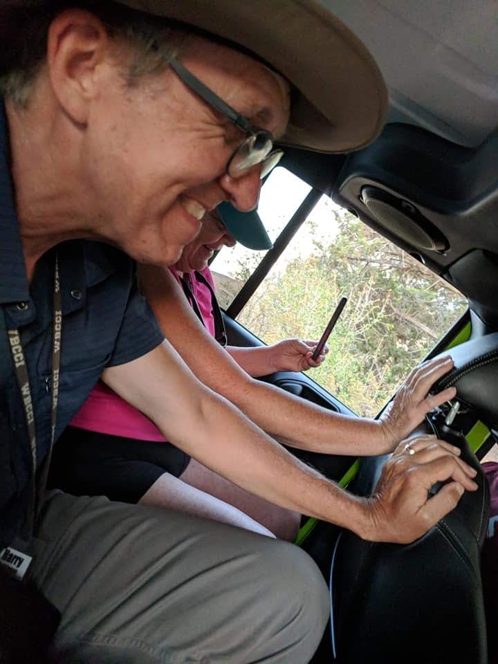
Maybe I should have cleaned my windshield…

img_5415img_5418img_5421img_5422img_5424

As we drove through the almost deserted park we recalled that we had been told that Zion is the 3rd most visited national park in the USA, yet it is one of the smaller parks.  We were arriving early precisely to avoid these expected crowds.

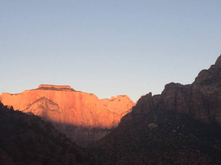
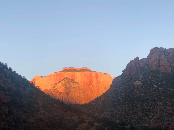
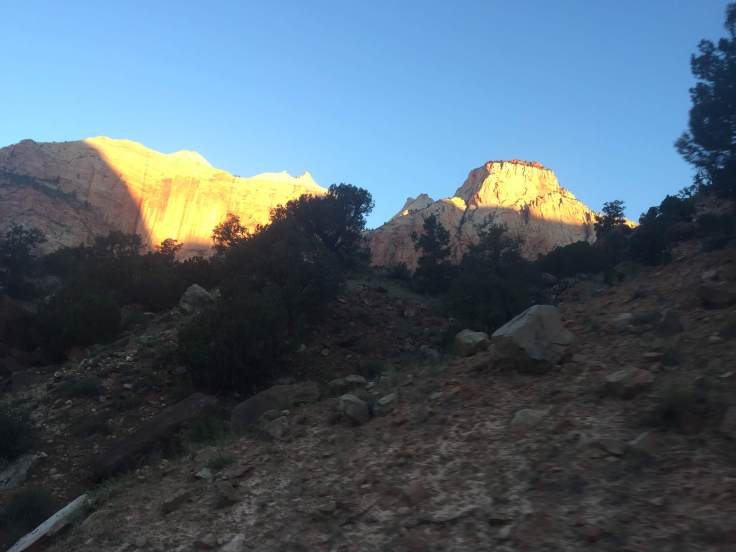
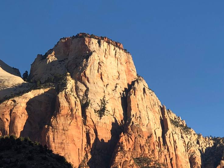
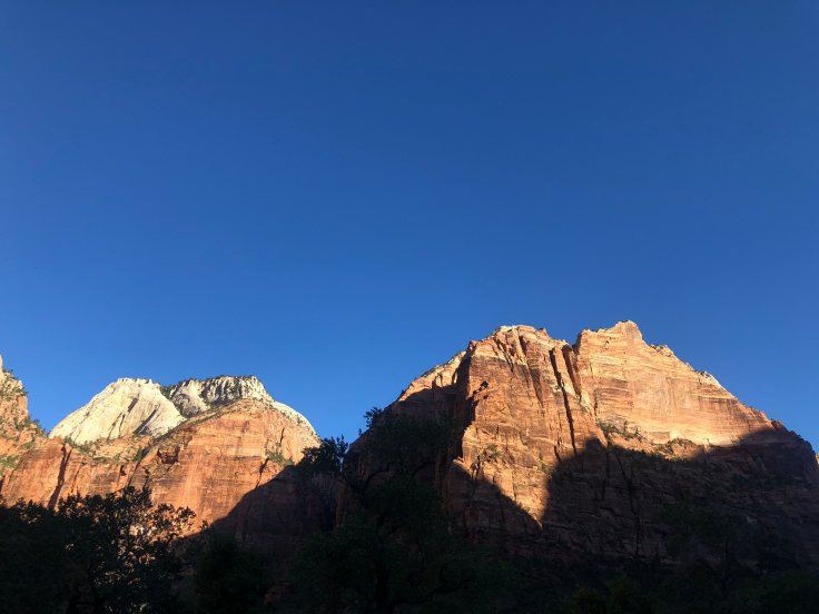
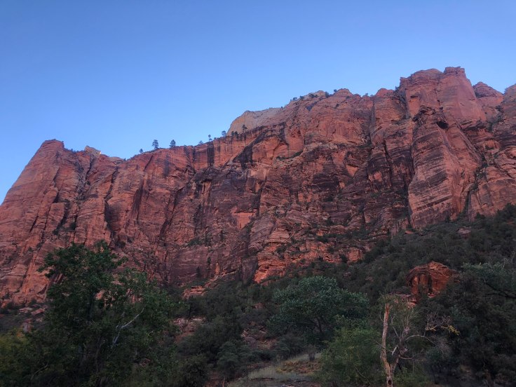
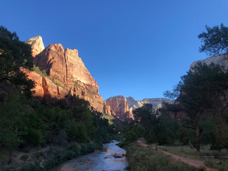
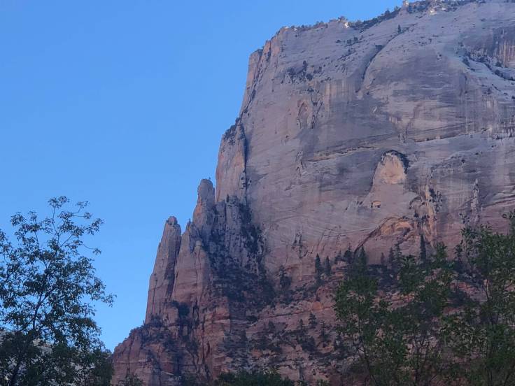
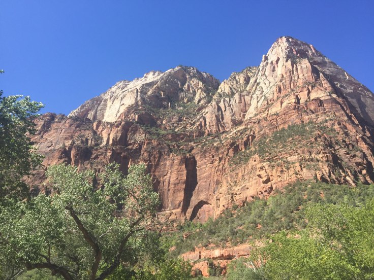
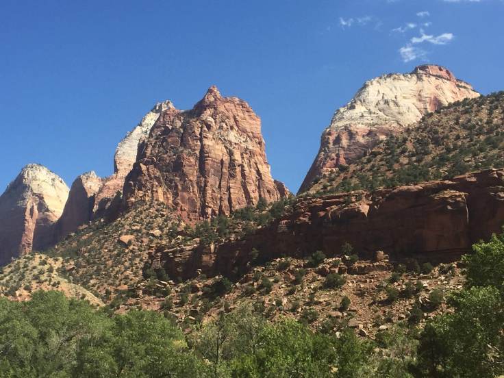
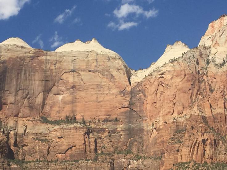
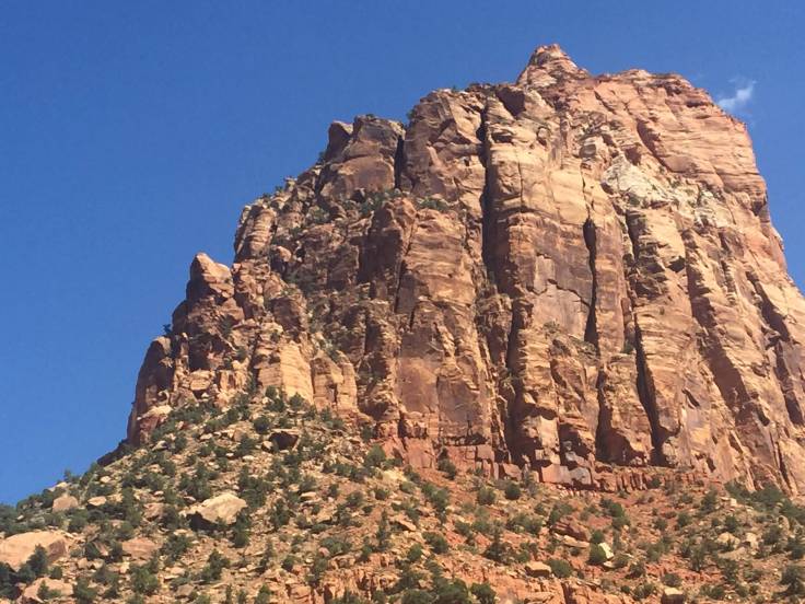
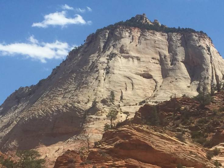
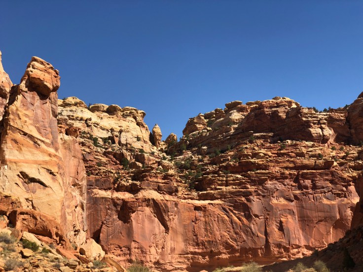
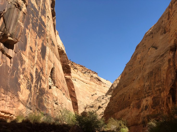
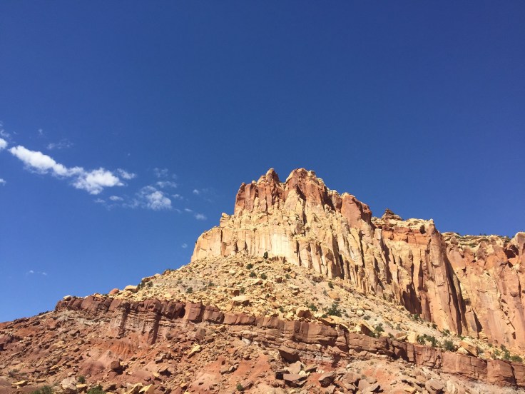
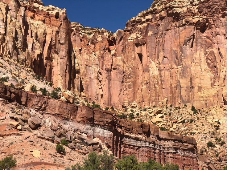
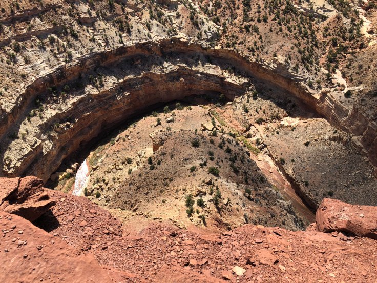
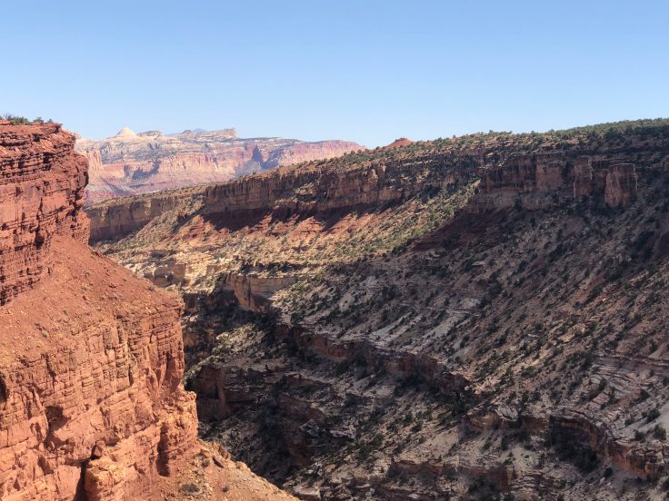
As we drove to the visitor center we found many interesting sights as the rising sun began to hit the higher peaks…

img_8018img_8019img_5429img_8021img_8023img_8025img_8026img_8027

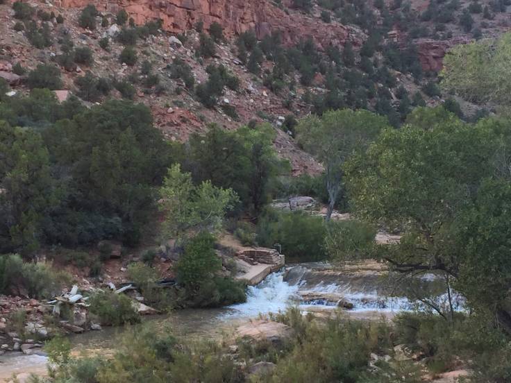
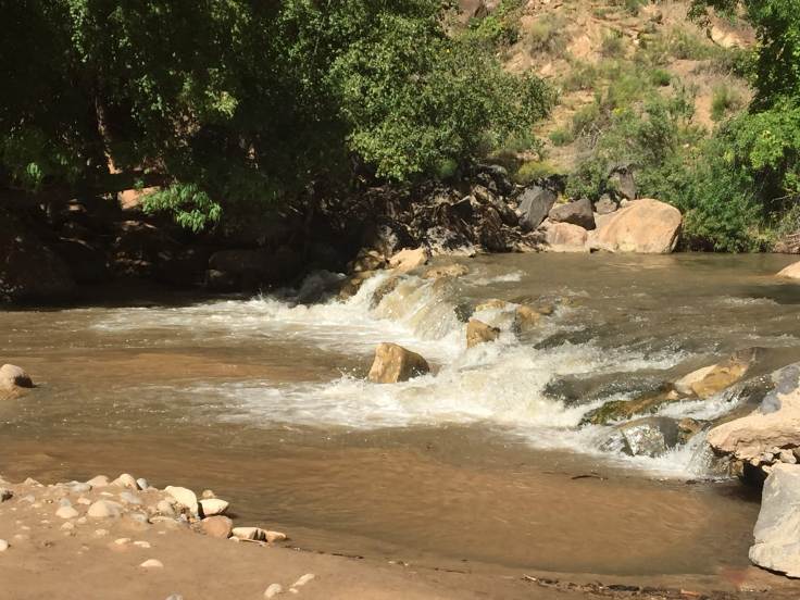
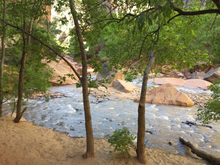
We arrived at the visitors center (which was not yet open) and parked.  We then walked the Pa’rus Trail, along the Virgin River for about 1 1/2 miles…

img_8029img_5431

Lynda went off-road to get a picture of the rapids…

img_8031img_5433

The sun continued to reveal move sights…

img_8032img_8033img_5434img_8034img_5435img_8035img_8036

We arrived at Canyon Junction, where we caught the shuttle to the Lodge…

img_8037img_5438

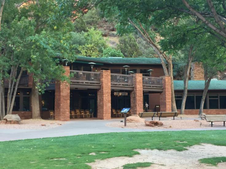
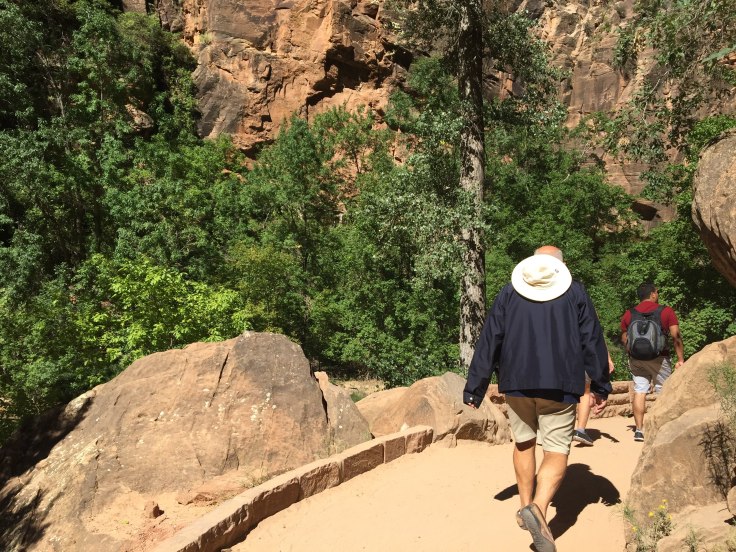
We had a nice late breakfast in the second floor dining room, then set out to walk the Lower Emerald Pool Trail… Only one mile, round trip…

img_8039img_5439img_8040img_8042img_5440img_5441img_8043img_8044img_8046

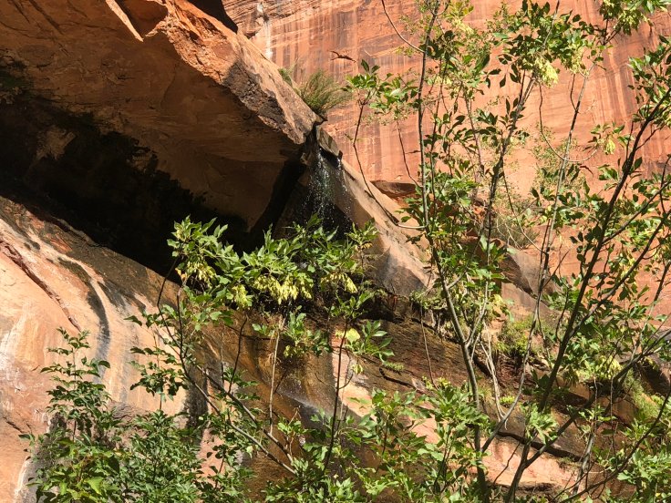
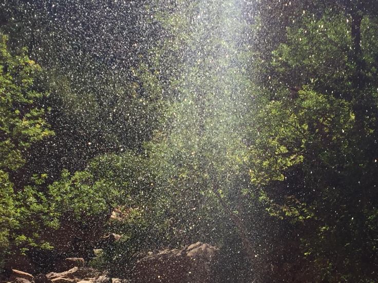
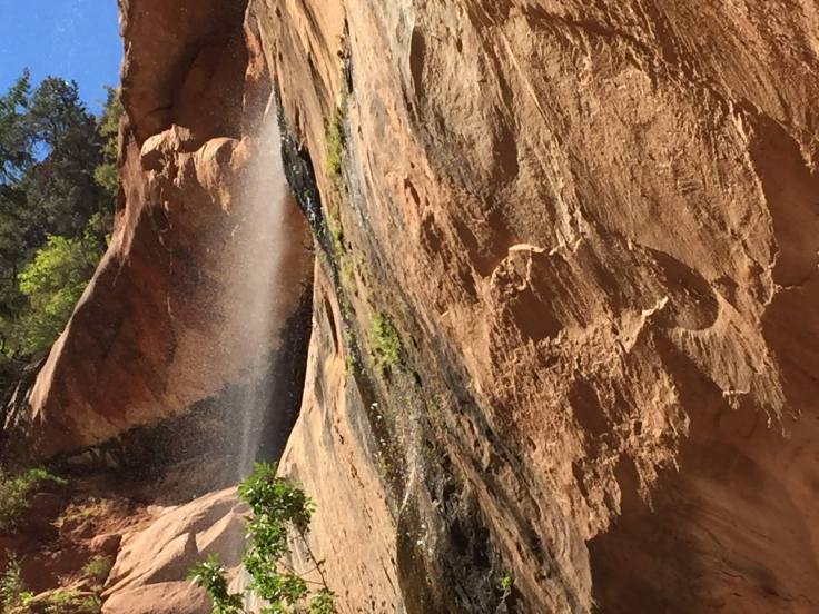
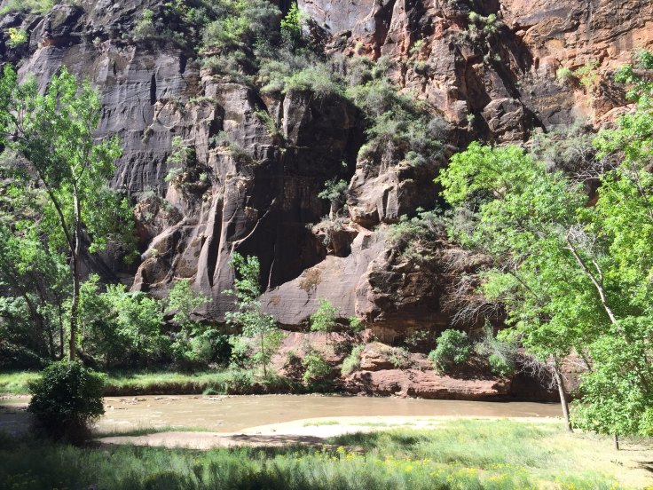
Finally we arrived at the “waterfall”… More of a “wet wall”…

img_8047img_8048

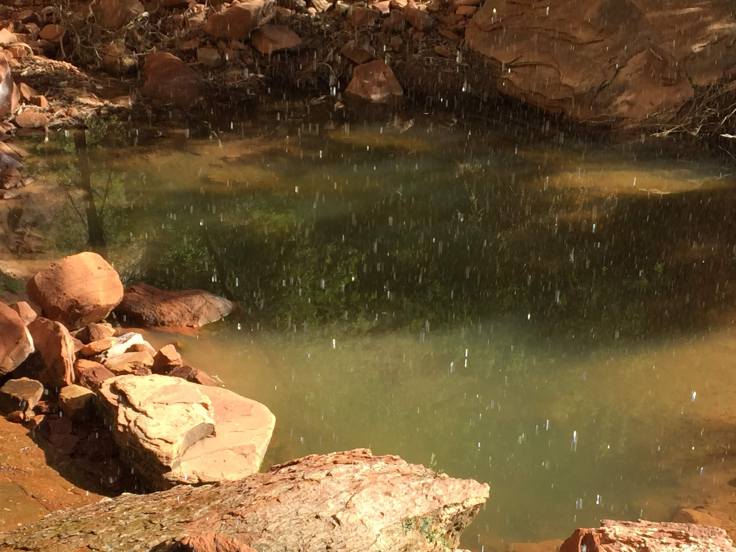
The pool was a little bit emerald…

img_8049img_8050

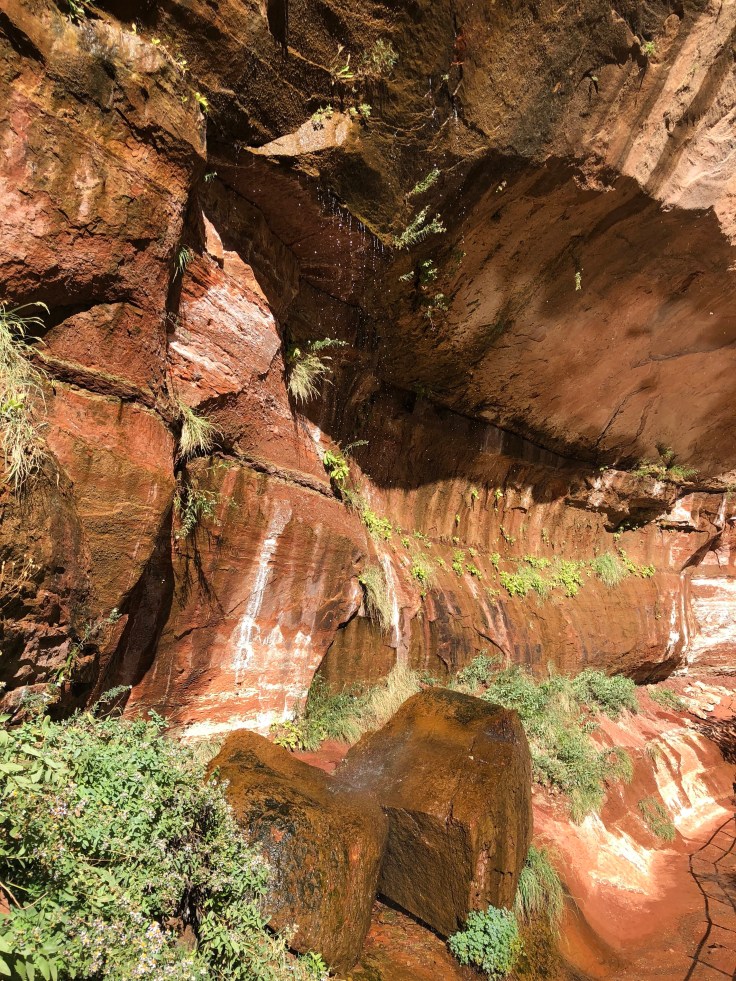
Now we see falling water…

img_5445img_8052img_5447img_8055img_5449

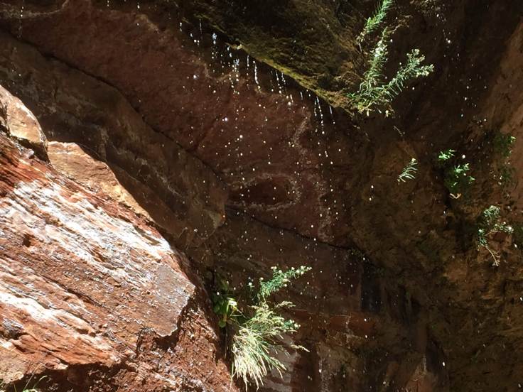
Falling into the Emerald Pool…

img_5446img_5448img_5451img_5454

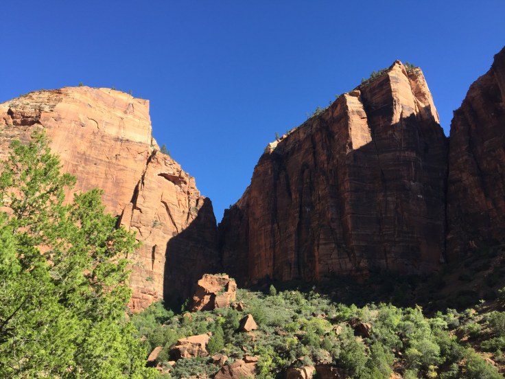
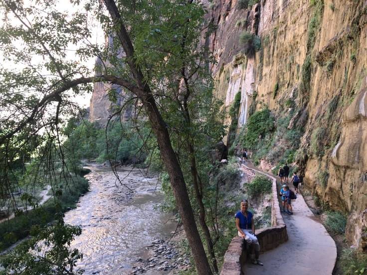
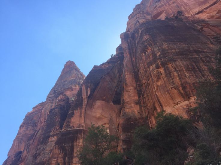
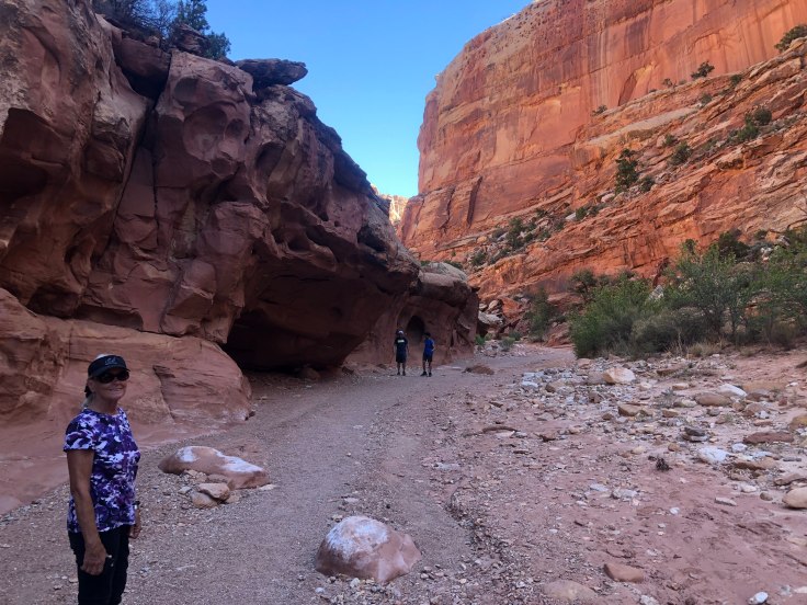
We back-tracked to the lodge and caught the shuttle to Temple of Sinawava… They tried to explain which rocks looked like a temple, but I didn’t see it…

img_5458

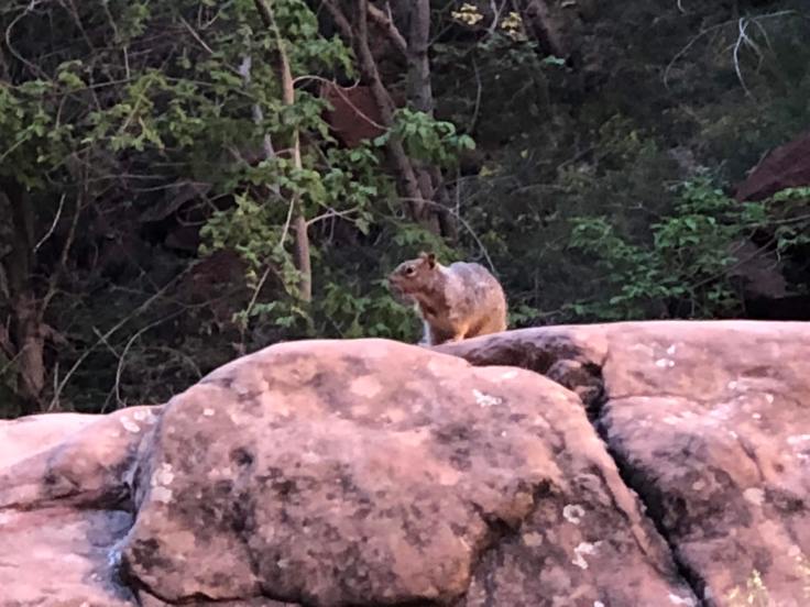
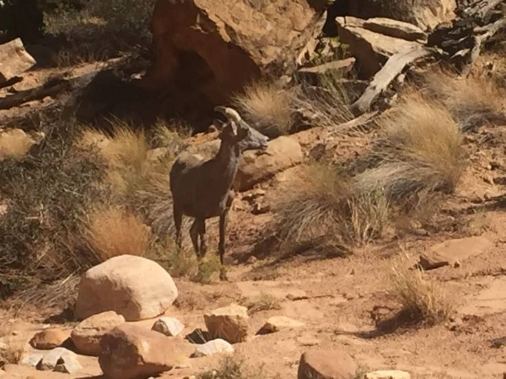
We are following the Virgin River, once again, about two miles round trip.  At the top of the canyon is “The Narrows”.  In the mean time, we see the flora and fauna…

img_5459img_8058img_5460img_8060img_8061img_8062img_8063img_5461img_8064img_8066img_8067img_5465img_5466img_5467

If you squint, and imagine it 100 times as big, it almost looks like a bear… Lynda says she wants to see a bear…

img_8068

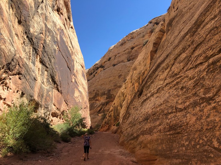
Finally we reach the end of the trail.  No, this is not a throng of Mormons being baptized… This is where “The Narrows” begins.  To see the narrows up close, where the canyon walls are only 20′ apart, you need to hike upstream through the water for about a mile… We didn’t…

img_5471img_8069img_8070

We were not about to walk in the river, so we returned along the path, seeing the canyon from the other direction…

img_5474img_8072

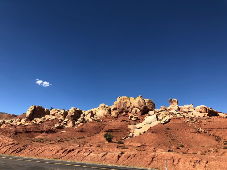
At the trail head we caught the shuttle back to the visitors center, and thus to the Big Red Truck.  As we headed out of the park we saw the sights that we missed by arriving when it was still dark…

img_5475img_5476img_5479img_5480img_5481img_5482img_5483 We emerged from the tunnel… and we were on our way…

img_5484img_5488img_5493

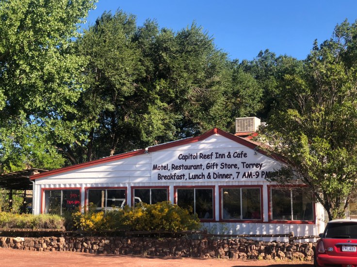
We returned to Kanab, where we enjoyed a late lunch at the Wild Thyme Cafe.  We returned to The Villa, where the AC was running strong (it is 93 degrees today…), took a nap, and had Happy Hours…

And an enjoyable time was had by all…

2018-09-16 – WBCCI 2018 Southwest Adventure Caravan – Day 29 – Bryce Canyon National Park

This is our last day in Bryce.  We took advantage of the free time and drove through the park on our own…

We visited the Natural Bridge, at elevation 8,627’…

img_7977

img_5367

Of course, as we know, this is not a bridge at all, but an arch…

We would have gone on further to see other sights, but the road was closed due to a controlled burn in the park…

img_7980

We visited the Farview Overlook, at elevation 8,819’…

img_7983img_5369img_7982img_7984img_7988img_7991

We visited the Swamp Canyon overlook…

img_5374img_5375

We visited Fairyland Canyon, at elevation 7,758’…

img_7994

We saw marvelous rock formations that looked like they were copying something from Disney…

img_7995img_7996img_7998img_7999img_5378

We had a shared dessert of assorted pies, then we had our usual Drivers Meeting to review our move tomorrow to Fredonia, AZ, staging area for our visit to Zion National Park and Pipe Springs National Monument…

img_8004img_8005

And an enjoyable time was had by all…

2018-09-15 – WBCCI 2018 Southwest Adventure Caravan – Day 28 – Bryce Canyon National Park

Today we enjoyed the famous Mule-Horse Trail Ride down into the amphitheater of Bryce Canyon National Park…

I had heard from previous caravaners that this ride was terrifying – that the mules walk along the outer edge of the trail above vertical cliffs, that the mules make turns at the last minute, when their heads are cantilevered over the vast emptiness below.  Frankly, I found that the ride was more like the kiddie pony rides offered at Griffith Park…

We began our adventure at the corral, where, after an excruciatingly long wait, we were shown to our trusty steeds…

img_7912img_7914img_5309

Finally we set out down the trail… at a plodding pace…

img_5310

The first thing we enjoyed along the trail was to be up close with the hoodoos and pinnacles and other rock formations here…

img_7919img_7931img_7933img_7938img_7942img_7954img_7963img_7971img_7970

All along the trails, up, and down, these mules and horses walked at their plodding pace.  They walk these trails twice a day, and they have been doing it for years.  They are sure footed and very responsive, plodding along, following the animal in front of them.  Very little drama…

img_7945img_7941img_7922img_53101

After an hour and a half we returned to the corral…

img_7915img_53091img_79141

Upon dismounting, we learned that our limbs had been stretched into an unusual position for the last two hours.  Getting them back to their normal positions took a little time… We were not alone – everyone was walking funny…

All in all, it was interesting.  I wouldn’t exactly call it fun.  Interesting to see these animals do there jobs, interesting to see how other people react to the animals… It was great to see the rocks up close… And it was not terrifying or dangerous…

We returned to the RV park, stopping along the way for fuel and groceries.  We relaxed in The Villa, watching football… After all, it is Saturday…!  Too bad, Auburn, UCLA, Florida State, USC…

We walked about a bit. We found a lake nearby, and we found teepees that you can rent if you want to camp this way…

img_5360

img_5364img_5357

We shared happy hours from 5:00 to 9:30 with several other caravaners…

And an enjoyable time was had by all…

2018-09-11 – WBCCI 2018 Southwest Adventure Caravan – Day 24 – Capitol Reef National Park

The morning dawned beautifully in Torrey…

img_7705

We had breakfast at the Capitol Reef Cafe, as part of the caravan fees that we had paid… We enjoy patronizing local businesses…

img_7708

Our touring today takes us through Capitol Reef National Park.  The caravan provided a CD to play as we drove through the park, explaining what we were seeing (rocks) and allowing us to stop from time to time to walk/hike to see things not visible from the road…

img_7713

Capitol Reef National Park is approximately 60 miles long on its north–south axis but an average of just 6 miles wide.  It was initially designated a national monument on August 2, 1937, by President Franklin D. Roosevelt in order to protect the area’s colorful canyons, ridges, buttes, and monoliths; however, it was not until 1950 that the area officially opened to the public.  Road access was improved in 1962, and in 1971 it was named a National Park.  It is one of the least visited and uncrowded National Parks, although it was relatively busy today.

One major feature of the park is the nearly 100 mi long up-thrust formation called the Waterpocket Fold, a huge ridge of up-lifted rock.  The park was named for whitish Navajo Sandstone cliffs with dome formations—similar to the white domes often placed on capitol buildings…

We followed the road, seeing the sights, and finally proceeded down a two mile long gravel road called the Grand Wash to see the rocks up close and personal…

img_7715img_5212

We parked and walked about a mile into the canyon.  There are signs everywhere to stay out of the canyon if rain is expected, since flash floods are common.  Fortunately for us, the sky was clear and blue…

img_7716img_7719img_7723img_5215img_7728img_7727

We returned to the truck and continued along, following the CD, until we arrived at the Capitol Gorge trail, another walk/hike into the canyon…

img_5219img_7739

We found this “window” in the rocks – this will eventually expand into an arch…

img_7741

We saw several goats along the way…

img_5232

The canyon gets very narrow and is quite intimidating…

img_7763img_7772img_7770

As we returned back through the canyon we found some petroglyphs…

img_5241

We returned to another leg of the CD tour.  This one led to marvelous views, both up and down…

img_5246img_7778img_7780img_5248img_52502img_5251img_7788

This is another “meander”, similar to what we saw in Goosenecks State Park…

img_5253img_7790img_7791img_52551img_7793img_7794img_7795

Back at the RV park we had the last of the Fandangos, so, technically, we have met everyone n the caravan… We still have a ways to go to really remember everyone’s name…

And then we were treated to a lovely twighlight…

img_52581

And an enjoyable time was had by all…

2018-09-10 – WBCCI 2018 Southwest Adventure Caravan – Day 23 – Travel Day to Torrey, Utah and Capitol Reef National Park

Another travel day… We took our time packing up and hitching up, and left the RV park about 10:00 am.  We drove past Arches and Canyonlands National Parks and soon we were heading west on Interstate 70.   We were quickly reminded that we are not in California anymore…

img_5166

As we drove we were accompanied by several other caravaners…

img_5167

We pulled off into the little town of Green River.  Not surprisingly, the Green River passes through here…

img_5176

The Green River originates in the high plains of Wyoming, and feeds into the Colorado River in Canyonlands National Park, near Moab, Utah…  We stopped here to see the Powell Museum…

img_5177

The museum commemorates the journey and explorations of John Wesley Powell, who, in 1869, took several men and boats down the Green River and into the Colorado River through the Grand Canyon… We watched a video of the journey and saw many exhibits of the trip.  Very interesting!

We continued our journey west, then south.  This part of Utah is not covered in rocks…

img_5178

But, course, soon we did find more rocks…

img_5183

The road south went straight south… For miles and miles and miles…

img_5186

We soon came to Capitol Reef National Park, one of the country’s newest National Parks… We saw many of the same type of rock formations that we had seen before…

img_5189img_5192img_5195img_5196img_5198

One difference is that we were much closer to them…

img_5200img_5202img_5203img_5204img_5205

We did not stop – there will be time for that tomorrow.  Soon we arrived at the RV park in Torrey, Utah…

img_7691img_7690

We enjoyed dinner at the Cafe Diablo, dining outside amongst the trees, with another caravan couple from New Jersey…

img_7709

We were soon treated to a brilliant sunset…

img_5209

And an enjoyable Time was had by all…

2018-09-09 – WBCCI 2018 Southwest Adventure Caravan – Day 22 – Relaxing and driving the La Sal Loop…

We had a leisurely morning , then we drove out along the Colorado River again.  We turned off the highway about 20 miles from here, and followed the La Sal Loop Road into a beautiful Valley…

img_5115img_5117img_5121 
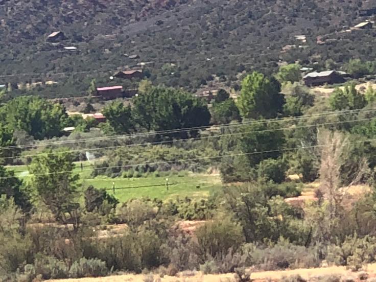
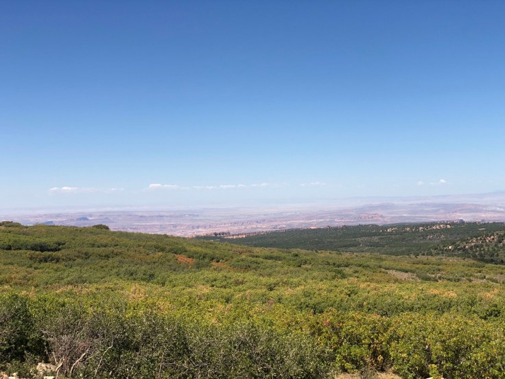
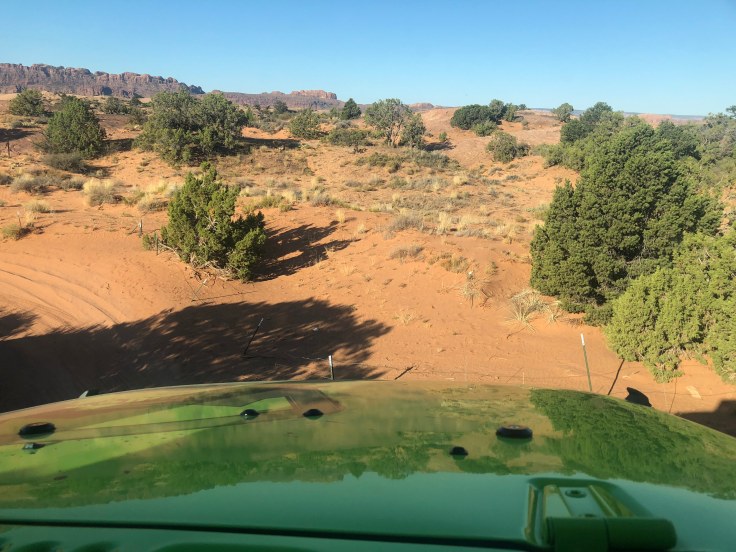
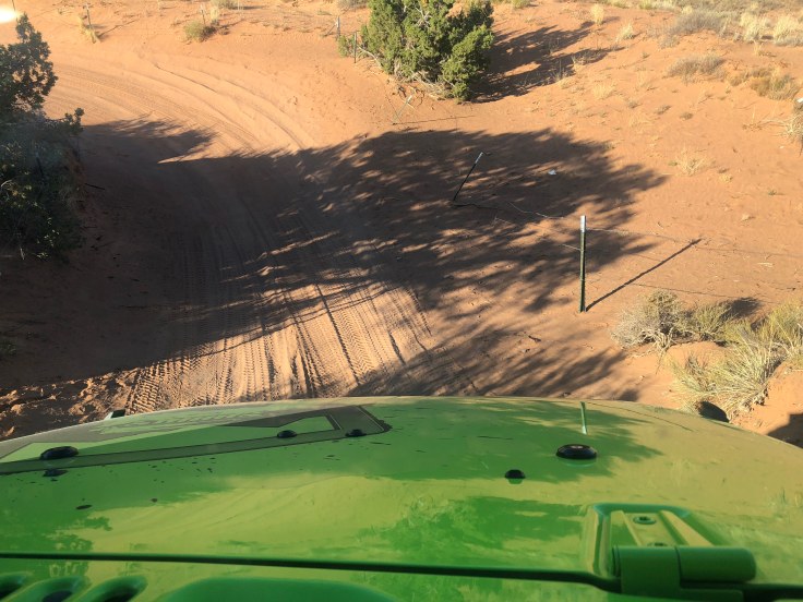
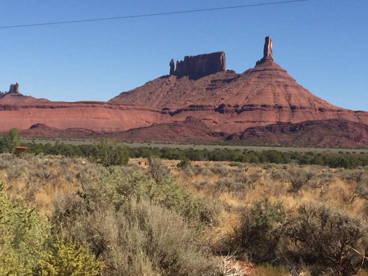
About 4 miles in we turned off into Castle Valley, a semi-residential area.  This valley is unlike anything we have seen in Utah.  All green – even the rock-faced mountains…

img_7670

We found what appears to be “ancient” construction and some well-built old houses…

img_7668img_7665

We returned to the main loop road and continued on…

img_7672img_5133

As we ascended higher into the hills we were surrounded with views of the “pygmy” forest… None of these trees are much higher than 20 feet, but it is beautiful!

img_5130

We came upon what looked to be alpine meadows…

img_7678img_7679

And fall colors!

img_5139

img_5159img_5160

After we crested the summit we could see the Moab valley far below…

img_5162

We returned to the highway which leads back into Moab.  We stopped at the Moab Brewery and Distillery for a little lunch and a sample of their spirits…

We returned to The Villa and it was hot!  We cranked up the AC and I took a nap…

Tonight we had a short music presentation by the family that owns the RV Park.  It was,  surprisingly, a lot of fun…!

After the music we had a drivers meeting – tomorrow we head to Torrey and Capitol Reef National Park…

And an enjoyable time was had by all…

2018-09-08 – WBCCI 2018 Southwest Adventure Caravan – Day 21 – Dead Horse Point State Park and Canyonlands National Park

Another long day enjoying the beauty that is Utah…

We started with Dead Horse Point State Park.  This park in on one of the many mesas or plateaus, with steep cliffs all around dropping precipitously into the canyon below.  At the bottom of the canyons is a river.  In the case of today’s parks, it is either the Green River or the Colorado River…

img_7644

One of the fingers of the mesa sticks our as a point or peninsula, connected to the main mesa by a narrow neck, about 90 feet wide.  Legend tells the story of cowboys who rounded up a herd of wild Mustang horses.  They herded them onto the point and blocked the neck with rocks and branches.  It made for a natural corral.  But these cowboys took the horses they wanted, and left the others penned up on the point to die… Thus the name.  I don’t know if the legend is true, but it just may be apocryphal…

We do know that in the late 19th and early 20th centuries the various points were used as natural corrals for herds of sheep from time to time…

Anyhow, we drove out to the park.  Along the way we stopped off to see the Monitor and Merrimac…

img_7585img_7586

I don’t always get the images some people see in the rocks, but I’ll take their word for it…

We stopped at the Visitors Center… Quite a nice building, by the way…

img_7611

We hiked from the Visitors Center to the viewpoint of the point.  It is hot this time of the year in Moab – about 100 degrees…

img_7588img_7589img_7594img_7596img_7605

This is the point, with the narrow neck…

img_7606

And so we pressed on – lots of territory to get through today…

Canyonlands National Park has three sections, each separated by steep canyons.  Island in the Sky, Needles, and The Maze.  You cannot get from one to the other unless you hike, or have a 4WD vehicle and you drive the steep gravel roads cut into the sides of the canyons.  While we do have 4WD in the big red truck, we chose to confine our visit to Island in the Sky…

Our first stop was the Mesa Arch.  It was a short walk off the road.  What is so special is not only the view through the arch, but the fact that the arch is literally on the edge of the mesa.  Walk through it and you will drop over 1,000 feet to the canyon below…

img_7683img_7684

The drop is precipitous…

img_5093img_5092img_7629img_7627

The view through the arch is fascinating…

img_7630img_7631

The views all around show the rugged canyons below…

img_7623img_5088img_7617

Walking back to the big red truck we found it interesting that the park service builds cairns or Ebeneezers to mark the trails…

img_7625img_7624

We stopped at several overlooks and viewed the canyons below…

img_5098img_7635img_7637img_7638img_5099img_5101img_7640

We found these posters interesting in that they explained why the canyons and mountains look like they do…

img_7646img_76441img_7647img_5104img_5105img_7653img_5108img_7656img_7657img_7658

But it was time to go.  We headed back to The Villa and relaxed.  It was close to 100 degrees, so we huddled inside with the AC on.  We had a little Happy Hours and light supper.

This evening we had another Fandango, meeting new friends.  We had met all the folks already, but we still enjoyed learning a bit more about their lives.

After the Fandango, when we returned to The Villa, we found that college football was in full force.  Great games were aplenty…

Florida was beaten by Kentucky for the first time in, like, a millennium.  Big Bad (over-rated) Clemson barely survived Texas A&M, LSU and Alabama both beat up poor Jr. College gimmie games that are so much a part of their soft schedules.  Stanfurd played U$C, which is always difficult for us, because we want them both to lose… U$C scored the fewest point against Stanfurd in 86 years, and didn’t even score a touchdown.  UCLA got walloped by another mediocre school for the second time this season, and Colorado beat Big Red Nebraska.

And, 190 miles north of here, in Provo, Utah, Cal beat BYU !  Go Bears!

And an enjoyable time was had by all…


And an enjoyable time was had by all…

2018-09-07 – WBCCI 2018 Southwest Adventure Caravan – Day 20 – A Jeep ride and Arches National Park

This morning we went for a little ride in a Jeep.  Not just any Jeep…

img_7663

This Jeep Wrangler Rubicon has about $200,000 worth of aftermarket parts and other enhancements.  While a standard Jeep can handle inclines of 35 degrees, this one can handle 70 degrees!   (This is another one of our caravaners who took the Jeep ride…)

We headed up the adjacent hills to the east…

img_5005

It was a beautiful day…

We were on “slickrocks”, which are really slippery when wet, but actually slightly sticky when dry.  We did what they called “crawling” – engage the extreme low four wheel drive gear and let the Jeep “crawl” over these rocks.  With the extreme independent suspension and shocks with the anti-tipping mechanism we crawled up the mountainside over rocks that would tip over an ordinary Jeep…

img_5010img_7389img_7388img_7390img_7392img_7394img_7396

Up the steep rocks and down the other side…

img_7399img_7400img_7406img_7407img_7408img_7410img_7411

Pictures don’t do it justice… But it really steep.  We went up and down over 4′ rock ledges…

img_5014img_7424img_7425img_7426img_7431img_7432img_7456img_7457img_7458img_7460img_7461img_7462img_7463img_7464img_7465

(This is another of our caravaners who took the Jeep ride…)

img_7664

img_7466img_7467

None of this was really dangerous because, while the rocks were steep, they weren’t really tall… The extreme Jeep maneuvers go up rocks 200 and 300 feet high… We didn’t do any of that.  We did go fast, after the boulders were past… It was riding on a roller coaster going around the curves in the path…

So we survived and returned to the RV Park.  The rest of the day we spent in Arches National Park…

img_7517img_7518img_5035img_7524

img_7529

I know… More rocks… These are really fun rocks.  The arches are a short walk from the road.  Lynda climbed up into one and appears to be having an enjoyable time…

img_5054img_7540

These narrow rocks are called fins – fins are what will eventually form arches if the conditions are right… We walked among the fins on the softest, finest, powdery sand I had ever seen…

img_7570img_7571img_7574img_5071img_7575img_5082

We spent all day in Arches NP, but we did have to return to Moab to go to dinner.  The Sunset Grill is in the former house of a uranium miner who got fabulously rich in the rush to find and extract uranium in the 1950s.  The house has a commanding view of the Moab valley, including our RV Park…

img_7581img_7583img_7582

And an enjoyable time was had by all…

2018-09-04 – WBCCI 2018 Southwest Adventure Caravan – Day 17 – Goosenecks State Park, Muley Point, Moki Dugway, and Natural Bridges National Park

An exciting day exploring Southern Utah in a pickup caravan… We carpooled, but there were still 15 trucks in a row…

img_7229

Our first stop was Goosenecks State Park, overlooking a deep meander of the San Juan River. The park is located near the southern border of the state, a short distance from Mexican Hat, Utah.

A “meander” or restrained meander, is a river that cuts its way through the many layers of various types of stone to form features such as this…


img_7140

What is fascinating to me is how this happened… This river wasn’t just flowing along the top of a mesa and over time carved its way down.  No, the water was always flowing at this level, meandering along a wide, flat plain.  It was the plain that was pushed up by volcanic pressures, and the river and gravity fought back, carving the many layers of stone.

img_7139img_48761img_4877

The river is about 1,000 feet below the mesa at this point…

From here, we headed to the Moki Dugway, which is the access road to Muley Point.  In contrast to Goosenecks, where the river was 1,000 feet below us, Muley Point is 1,000 feet above us, and the Moki Dugway is the way to get up the “mountain”.  (Many of the caravaners are from places like Florida or Texas, so they are not familiar with real mountains…)  Along the way we saw more impressive sights…

img_7141img_7143img_4883

This is Muley Point, at the end of the mesa on the left…

img_7148

The Muki Dugway was the access road carved into the side of the plateau to be used for access to uranium mines many years ago.  Some found it frightening (there are no guardrails, it is very narrow and steep, and it is a gravel road…).

img_7156img_7161

I thought that car down this steep embankment might have been one of the caravaners from last year, but I was informed that it was not…

img_7167

As we arrived at the top we were treated to more fabulous views…

img_7171

I even took a picture!

img_4889img_7177img_7178img_7185

And a selfie…

img_7192

Our next stop today was at Natural Bridges National Park… where we saw natural bridges…

img_7200img_4909

Bridges have (or have had) flowing water beneath them, and the primary method of erosion was from this water…  On the other hand, arches differ from bridges in that arches are formed by erosion by wind and the freeze-thaw cycle.  We’ll see arches tomorrow…

img_7204img_7205img_4912img_4913

After a long day touring, we returned to The Villa.  We went to the Steakhouse adjacent to the campground and had steak for dinner (Porterhouse for 2…).  The restaurant was 90% caravaners – I’m sure the proprietor was happy we were staying next door…

We returned once again to The Villa to relax with a little TV.  I sat in my Eames chair as I usually do.  But what the chair did was not usual…

img_7206

Yes, the entire back collapsed off the base… I’ll have to stand up the rest of the trip… We loaded the pieces into the truck; we’ll have to take it to be repaired when we return.

So this evening an enjoyable time was not had by me…


Blog at WordPress.com.

Up ↑