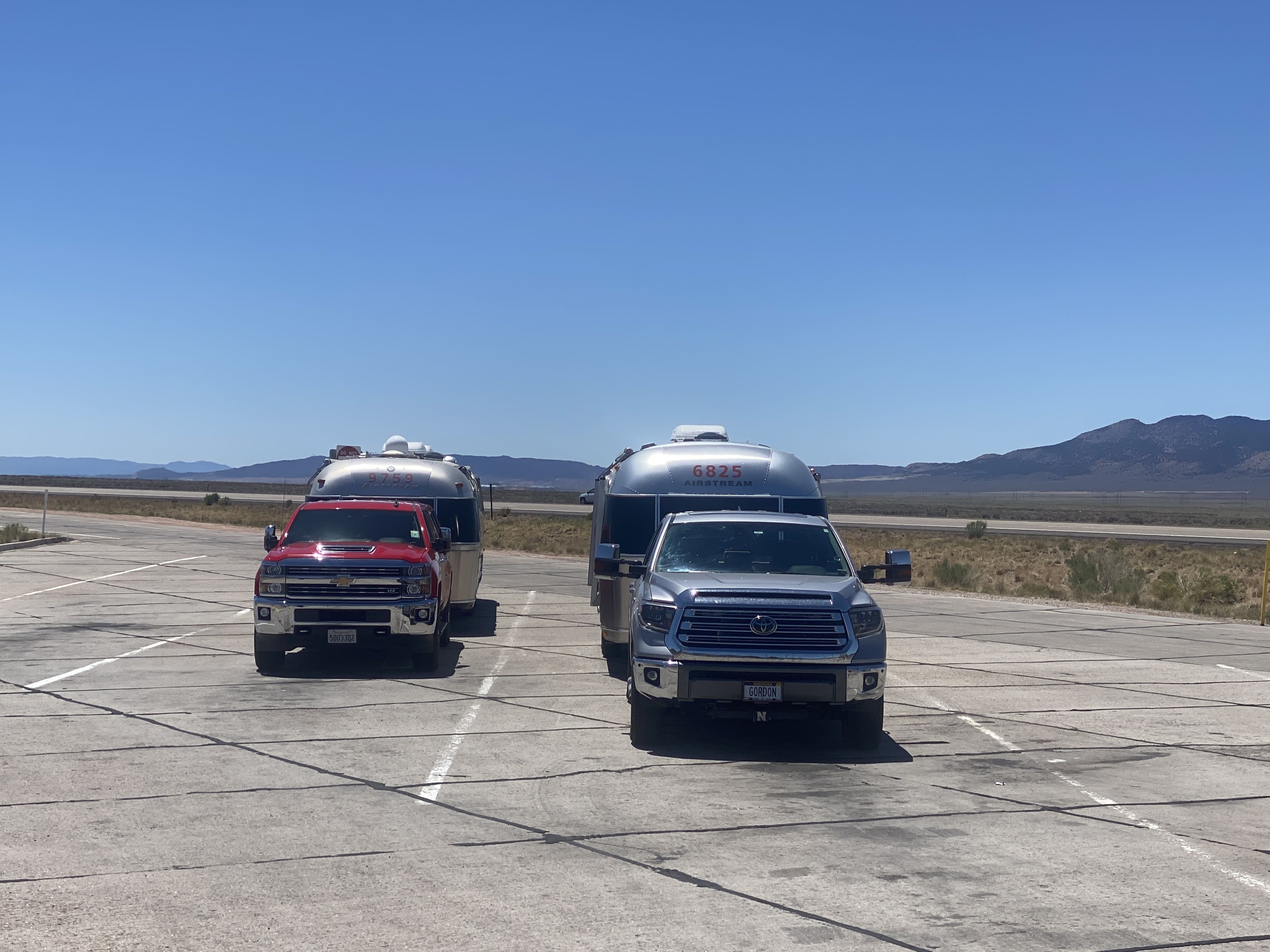
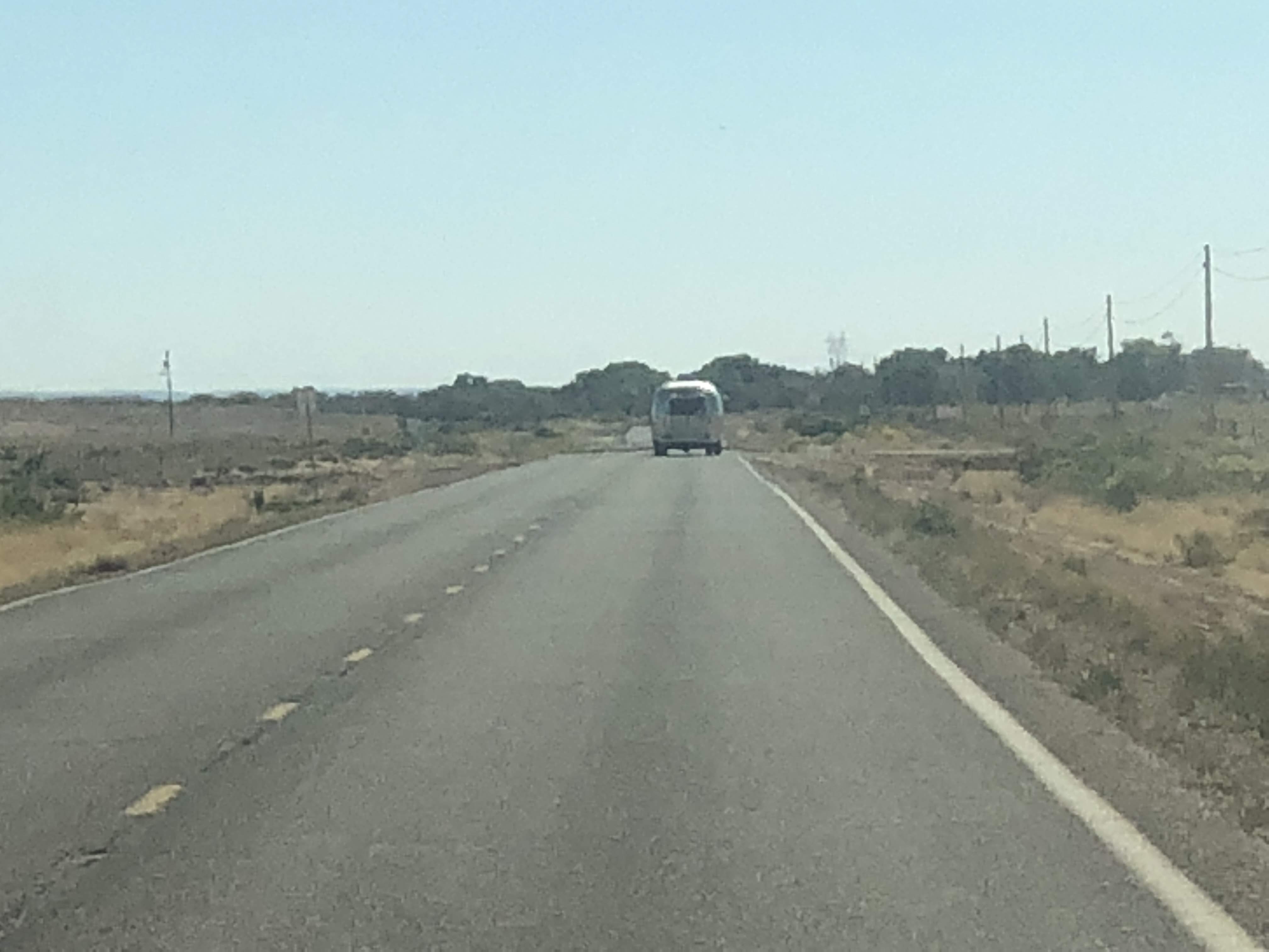
Today is a travel day, as we leave Colorado and enter the far northeast corner of Utah, just a few miles south of Wyoming. We left about 9:00 am and traveled north. At first the roads were small, straight, and well paved…
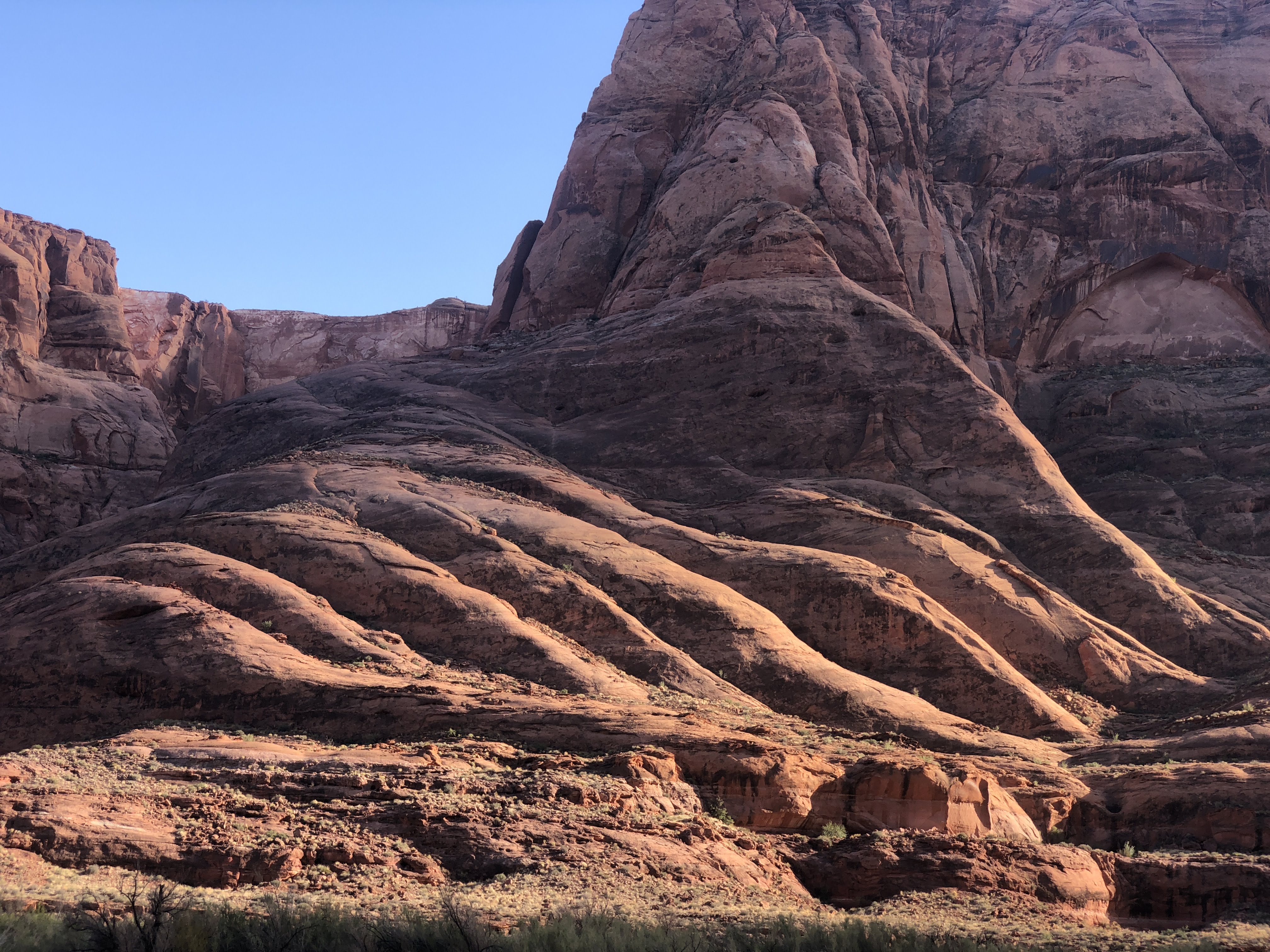
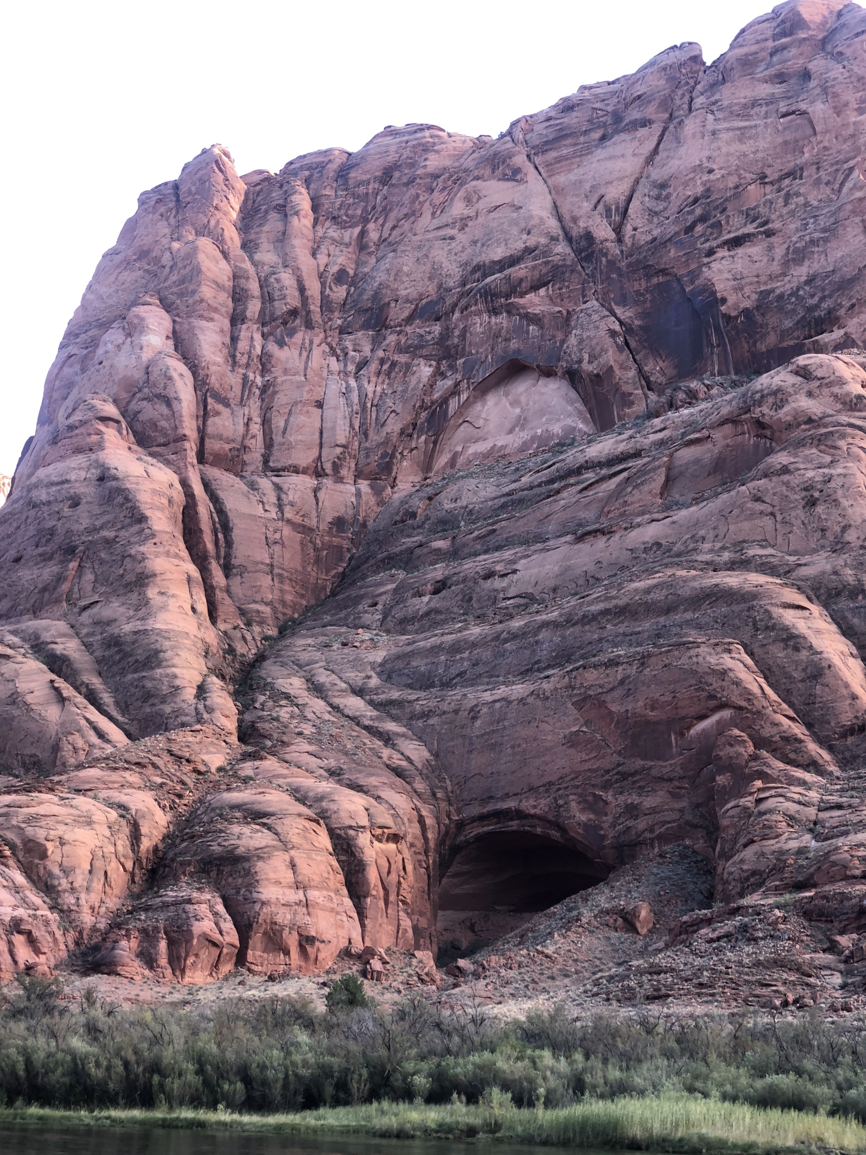
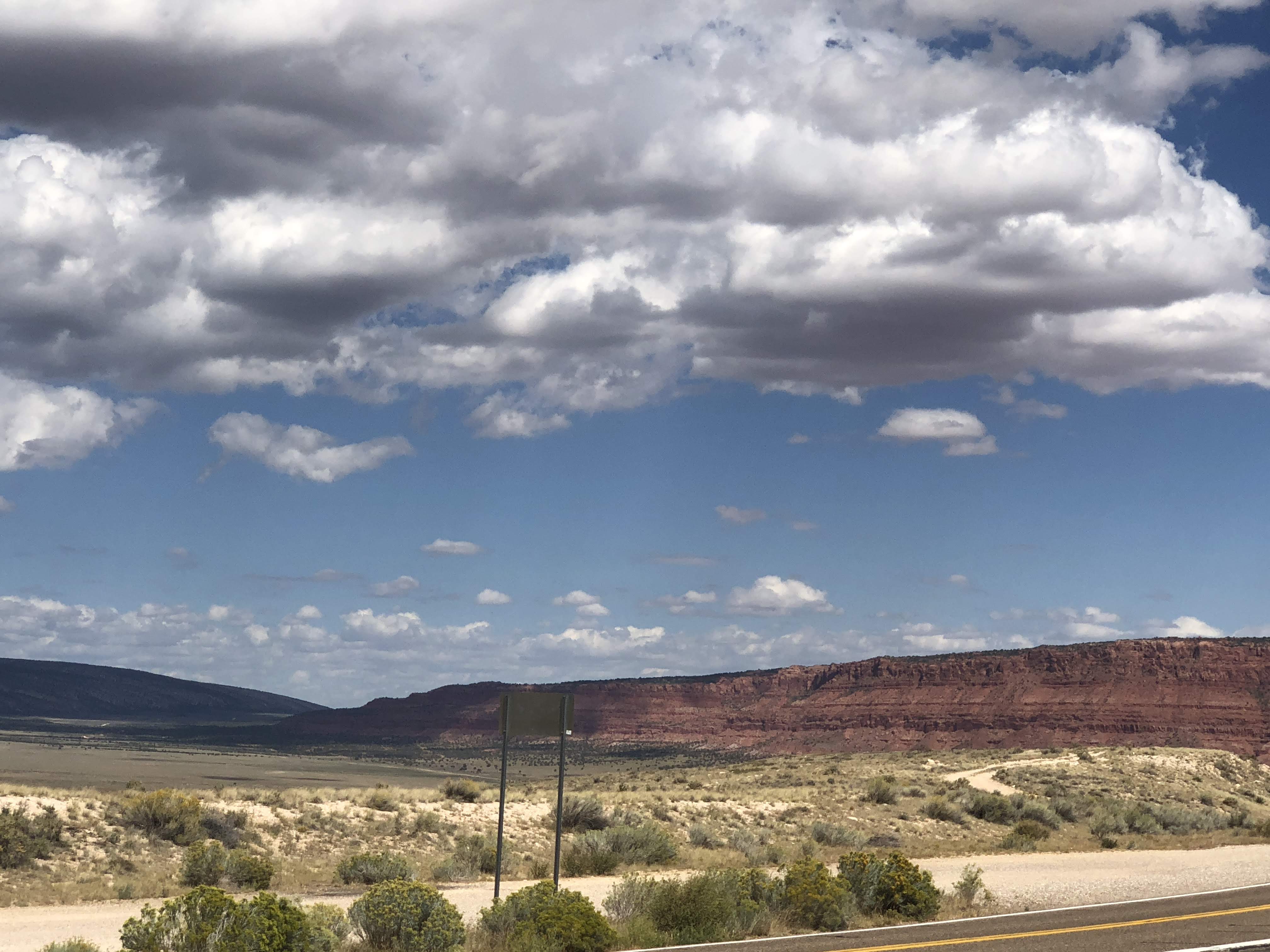
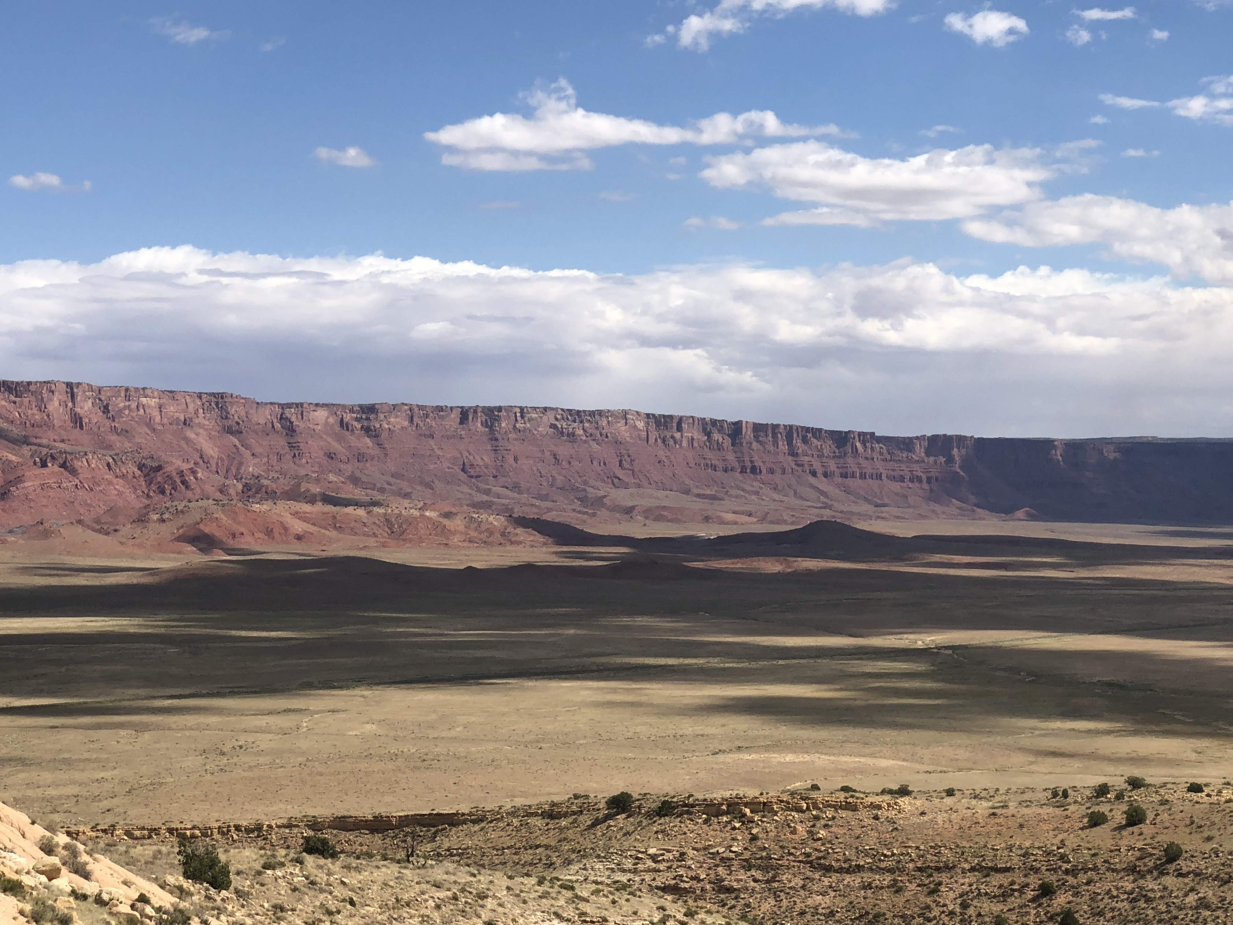
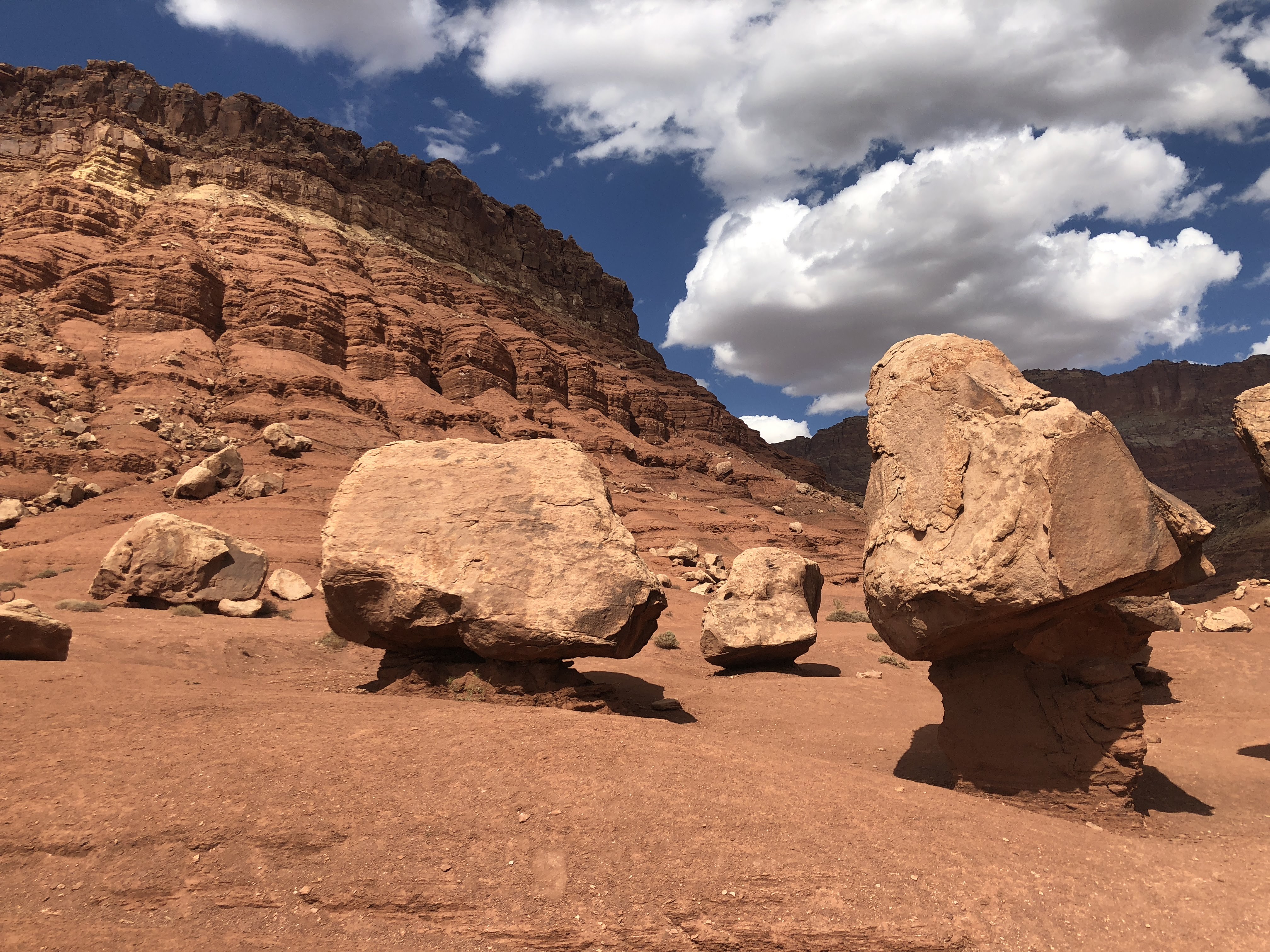
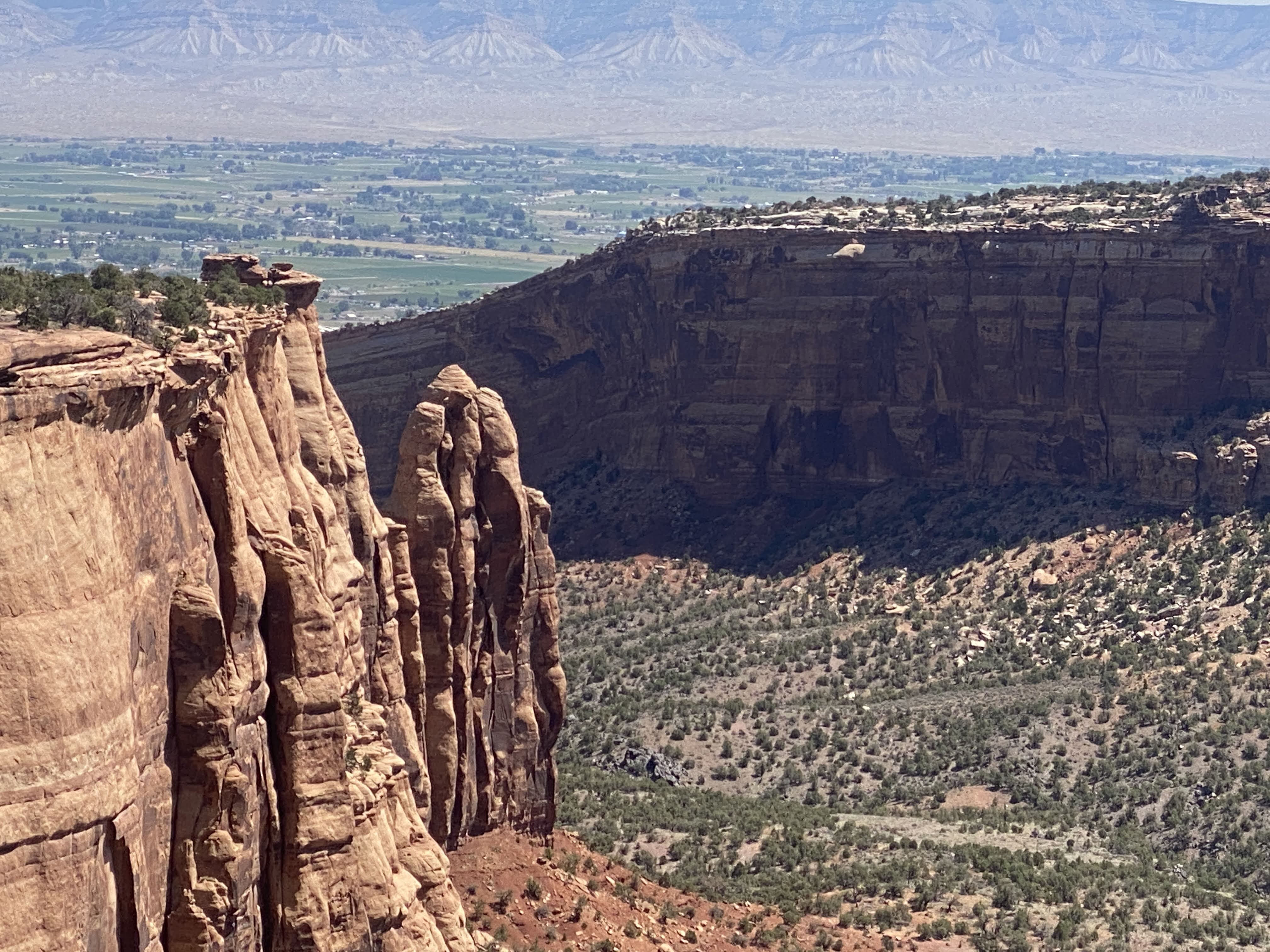
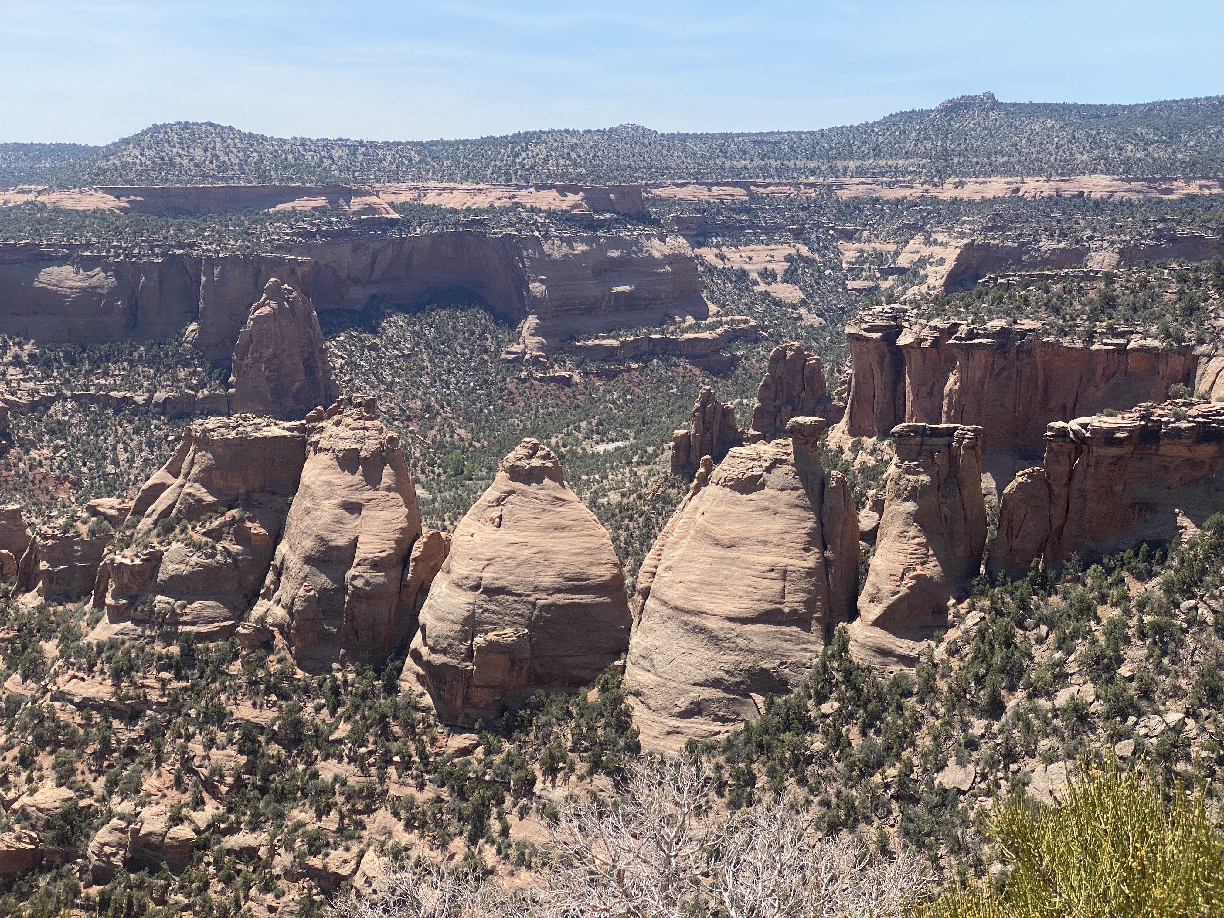
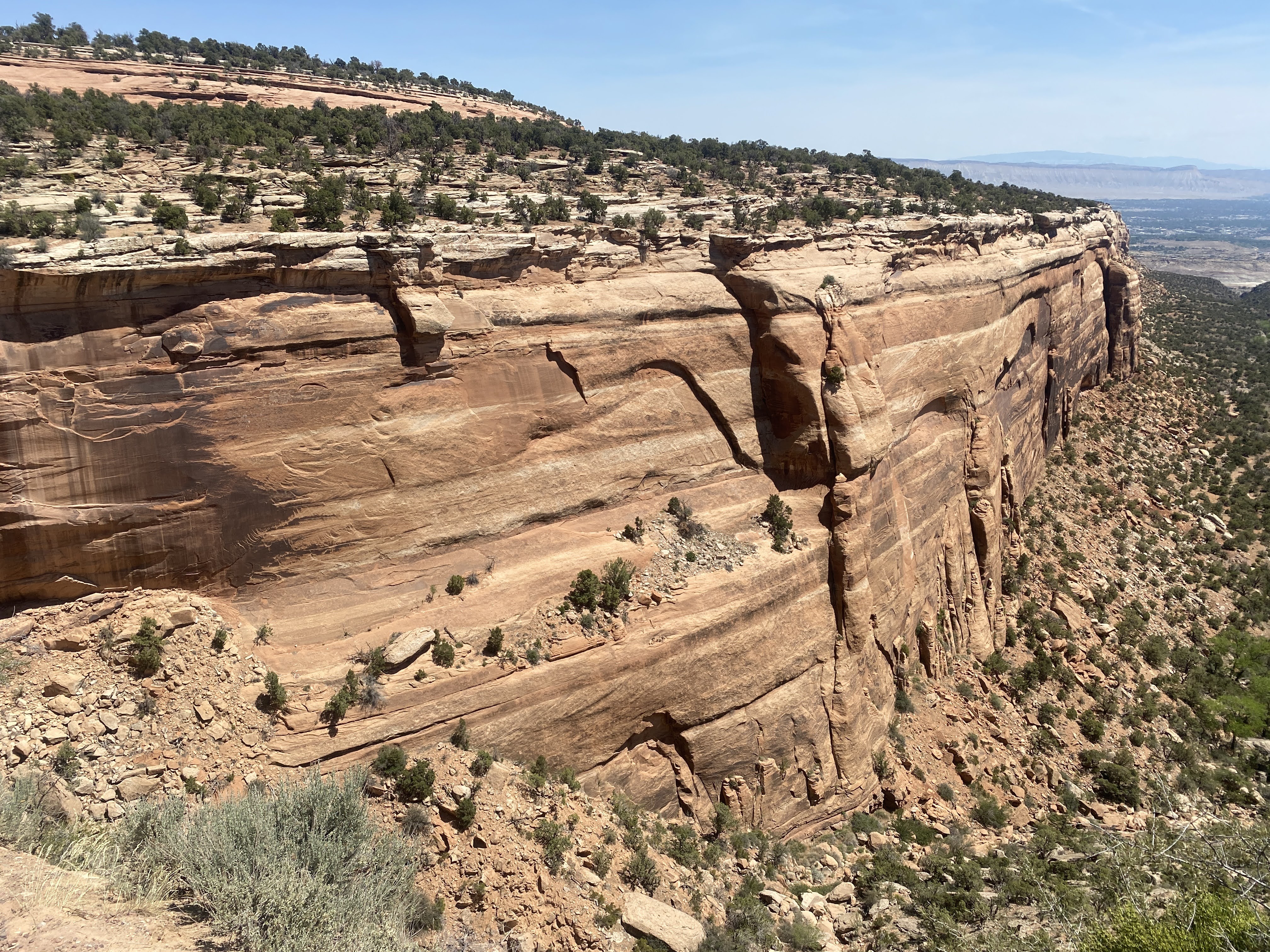
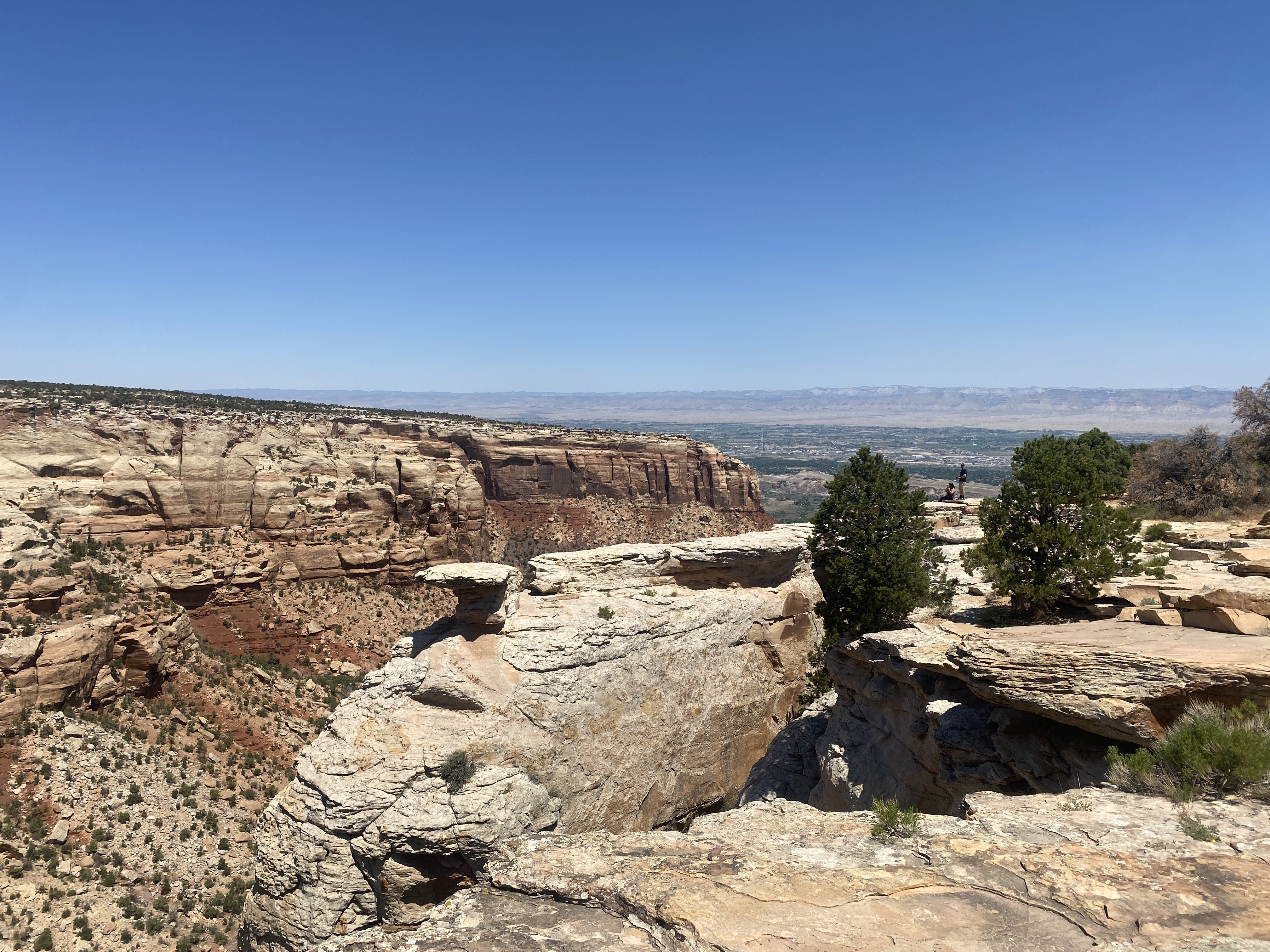
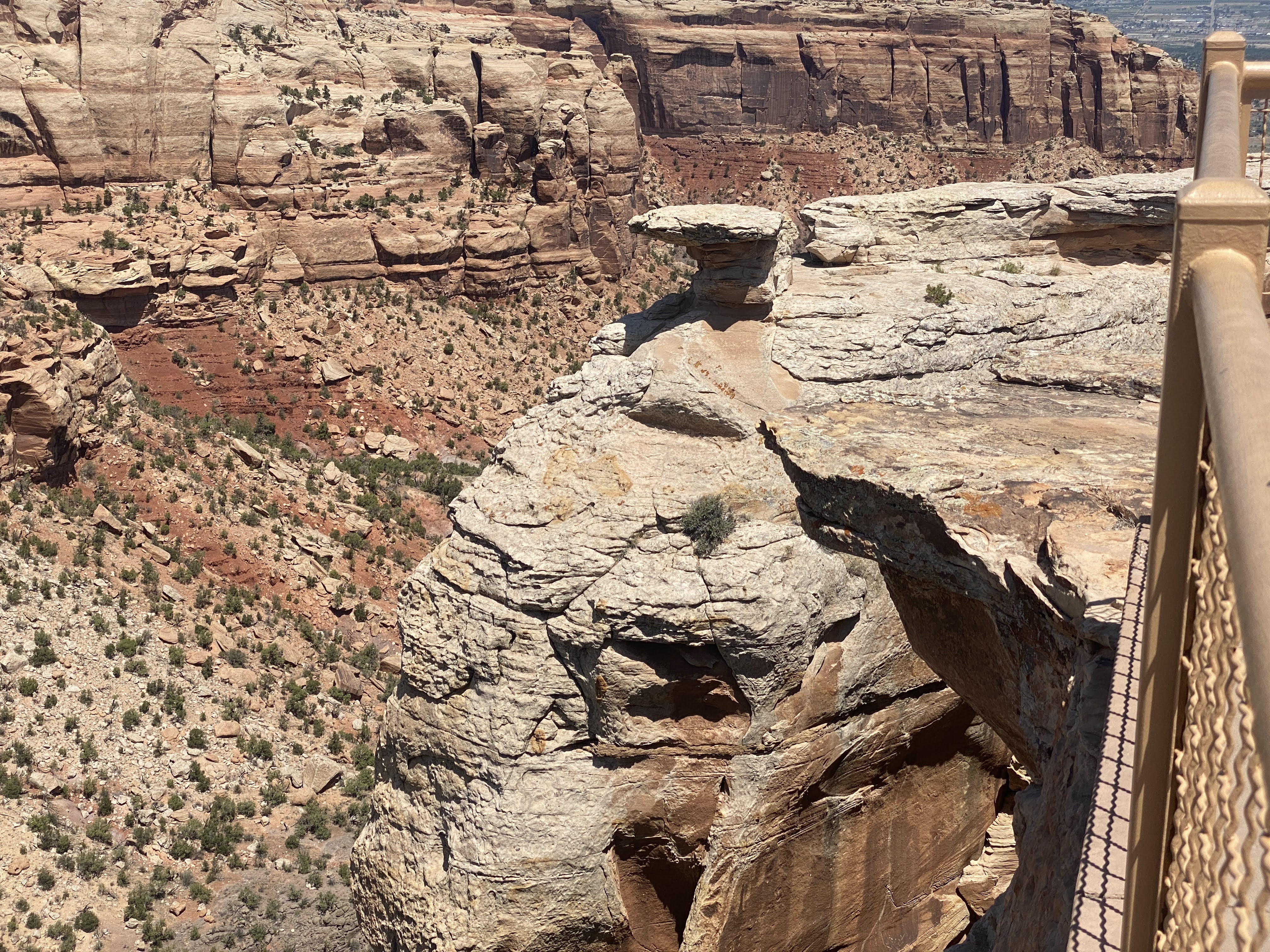
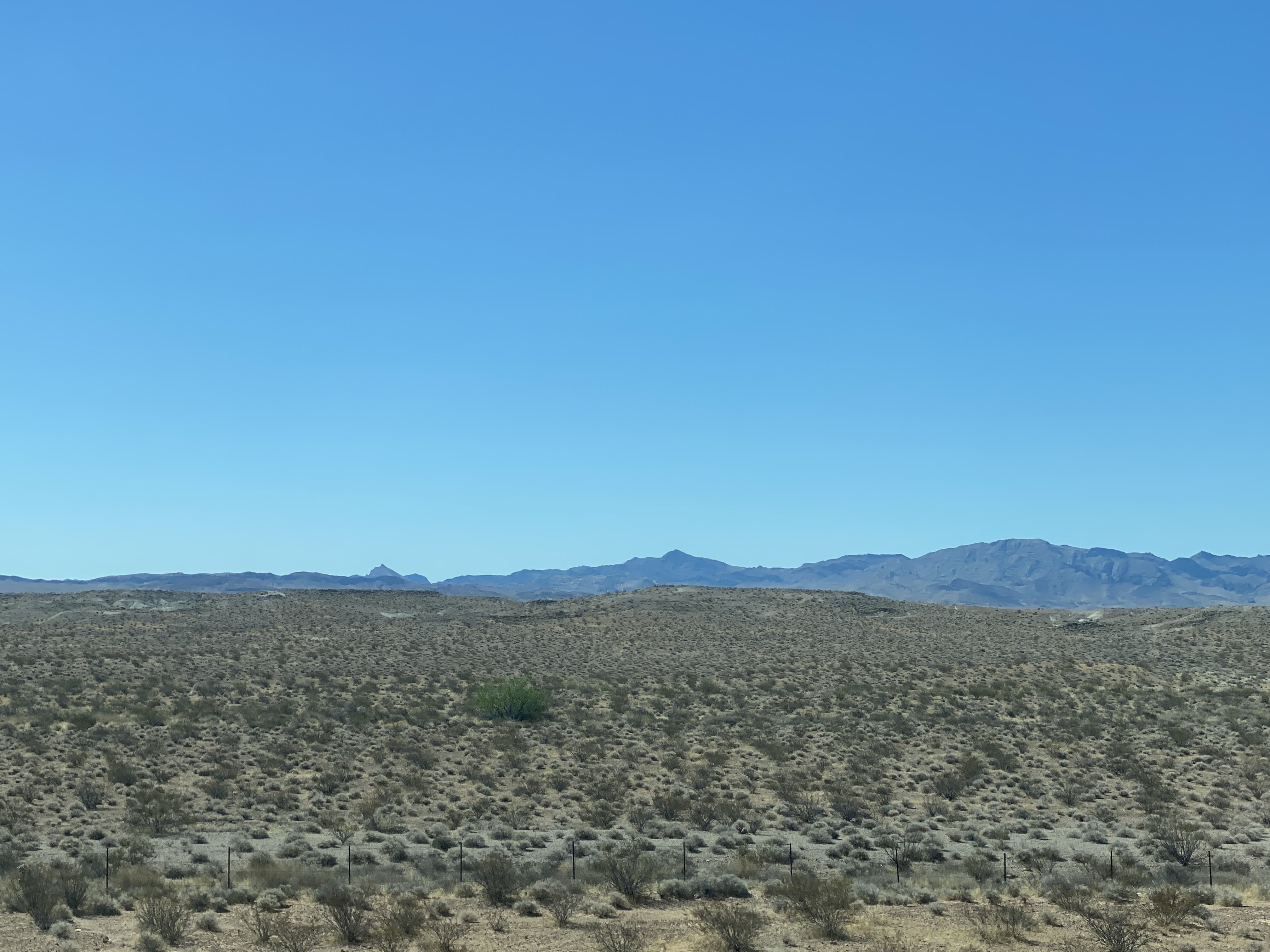
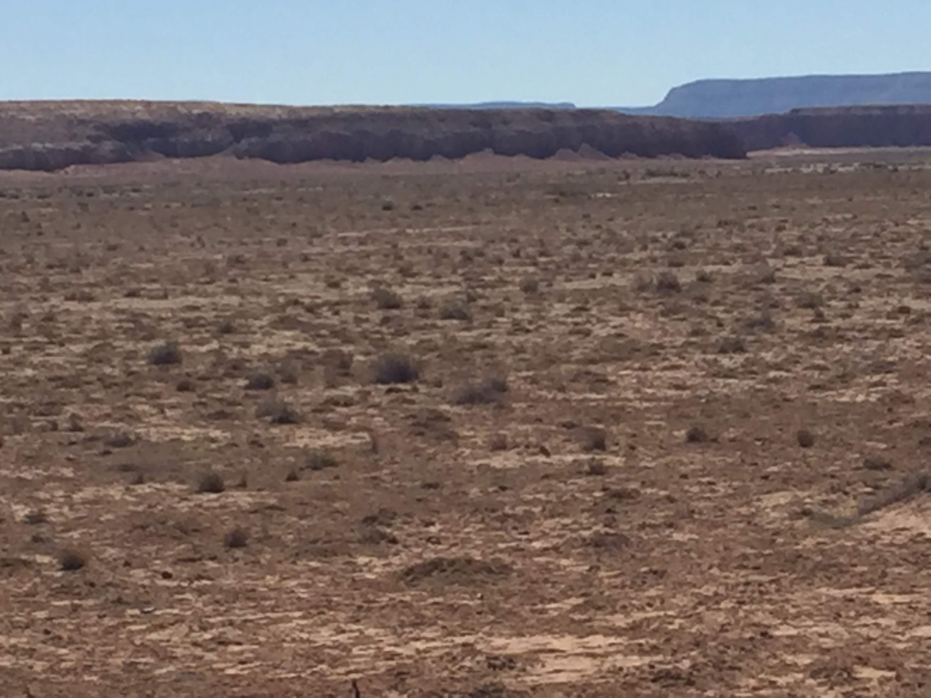
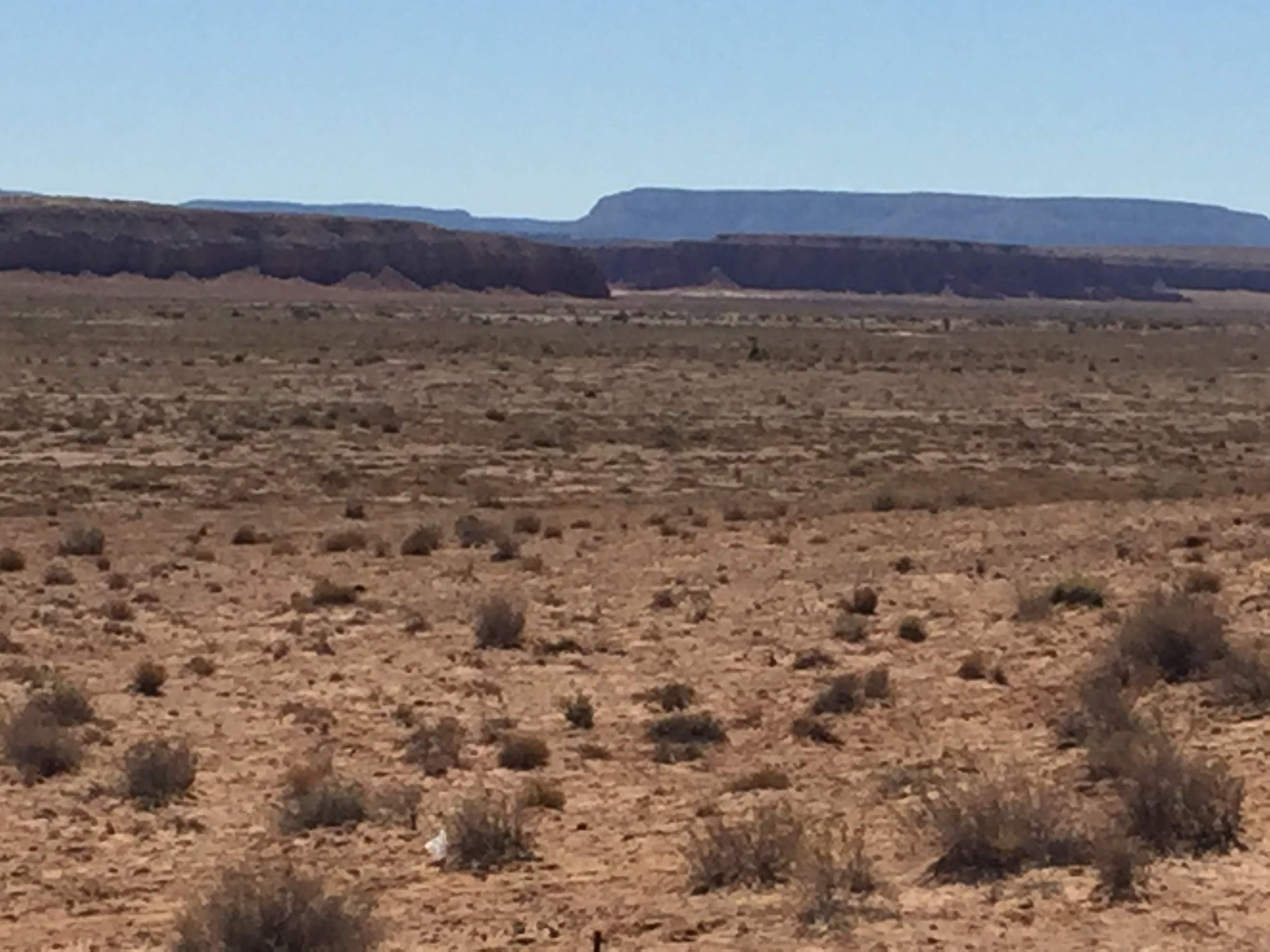
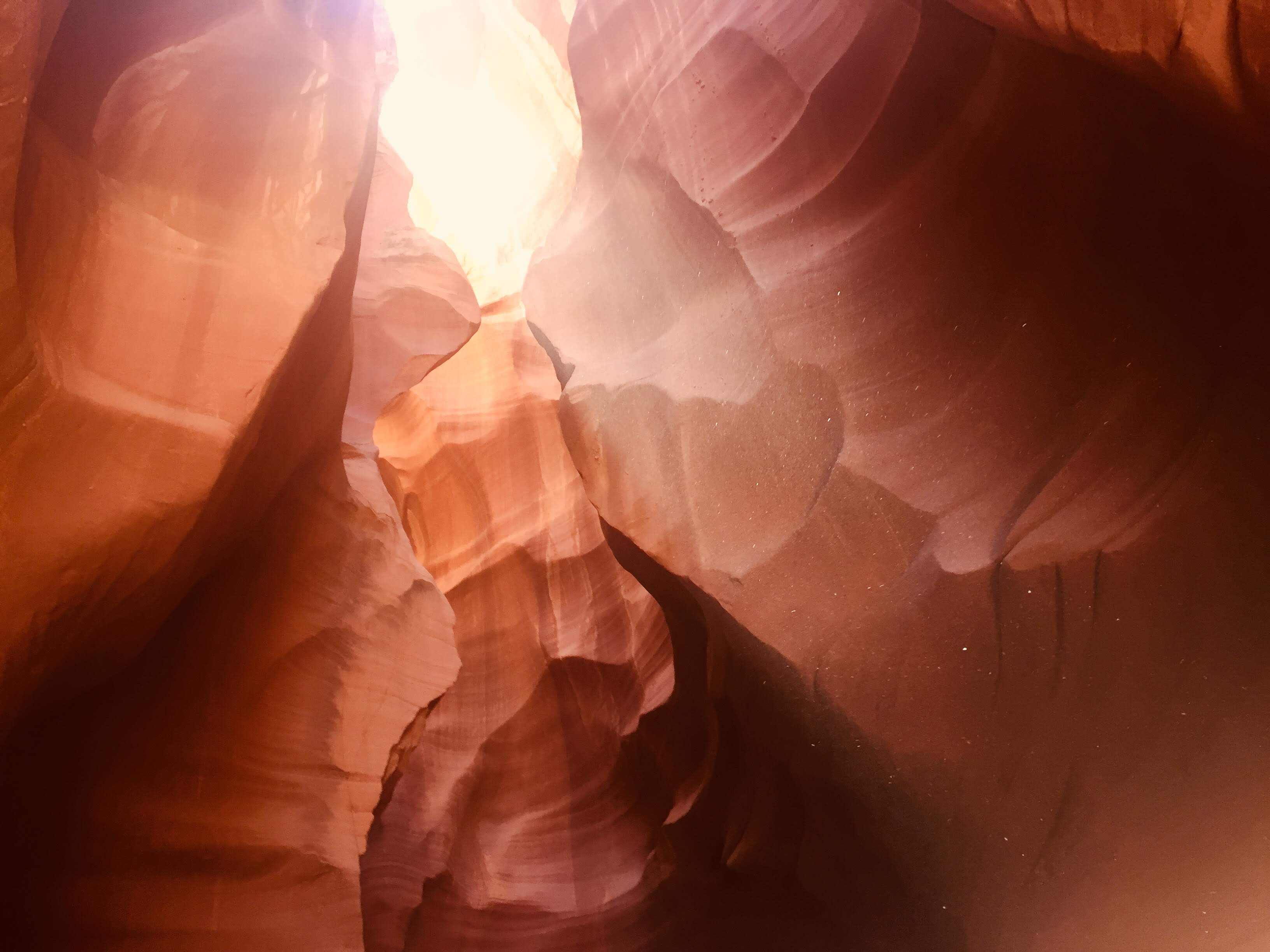
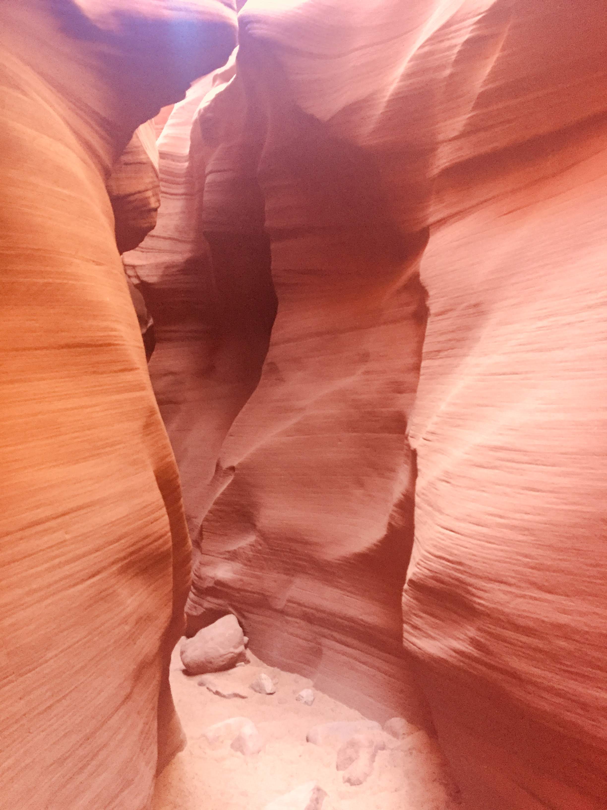
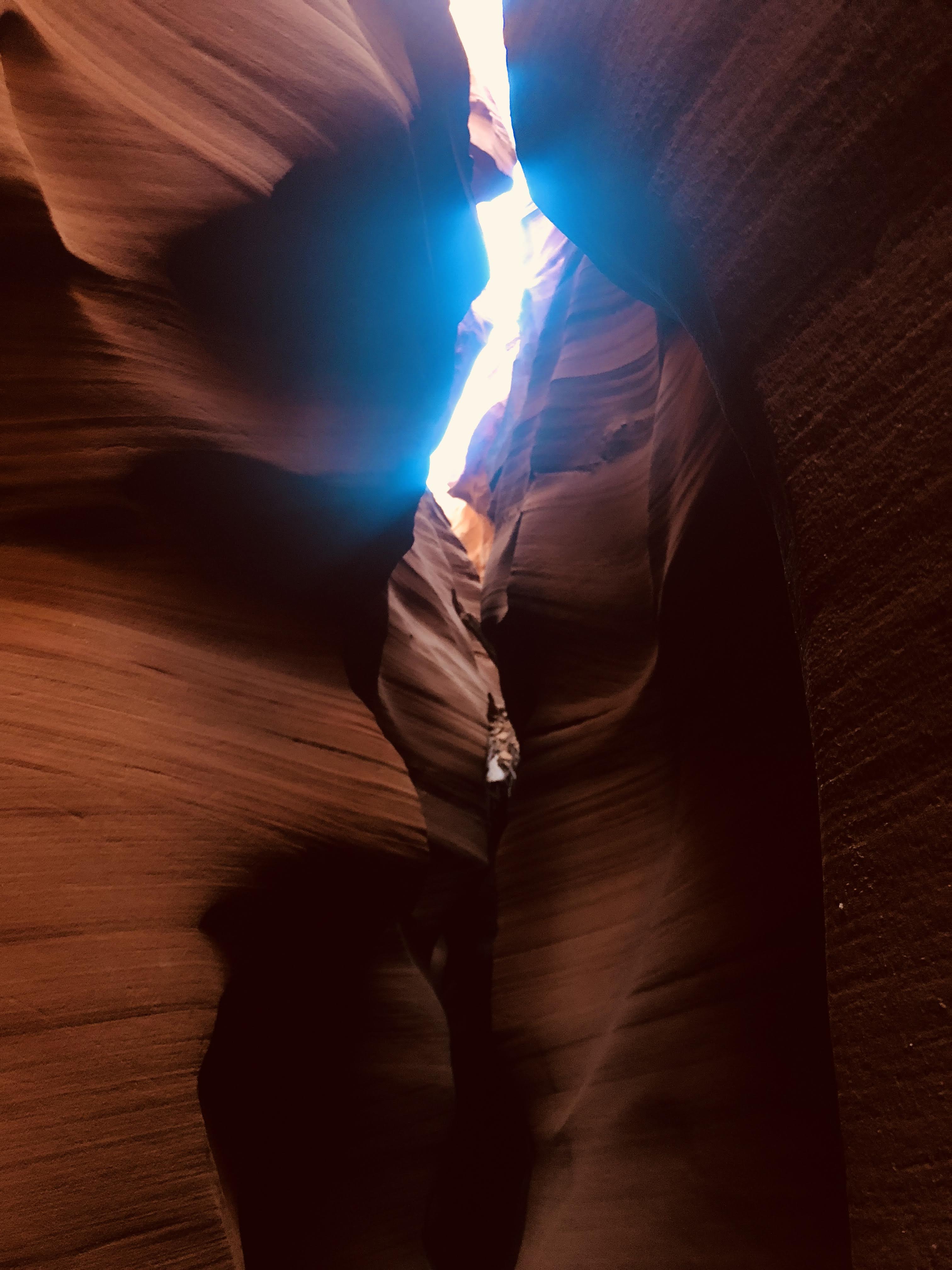
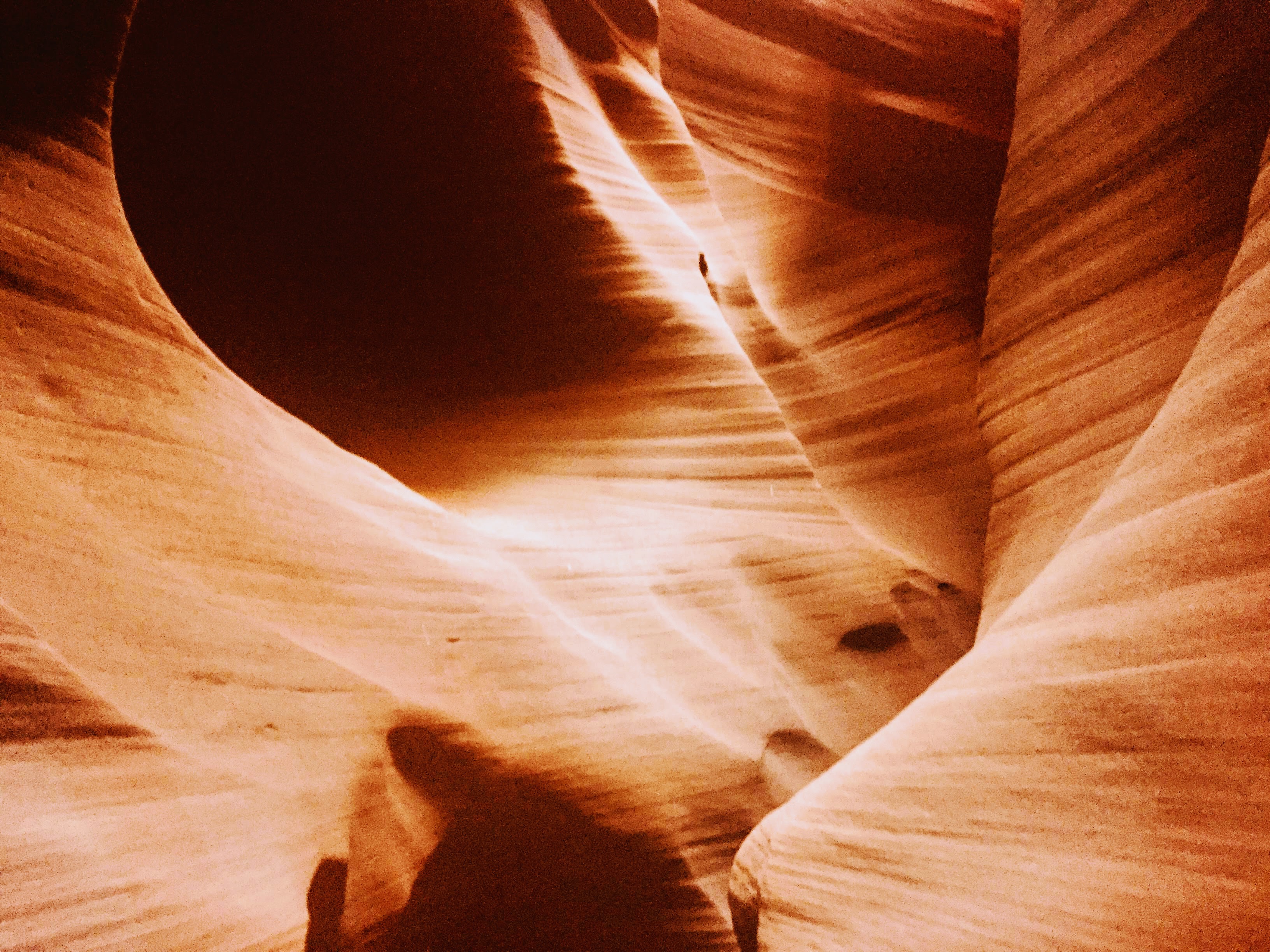
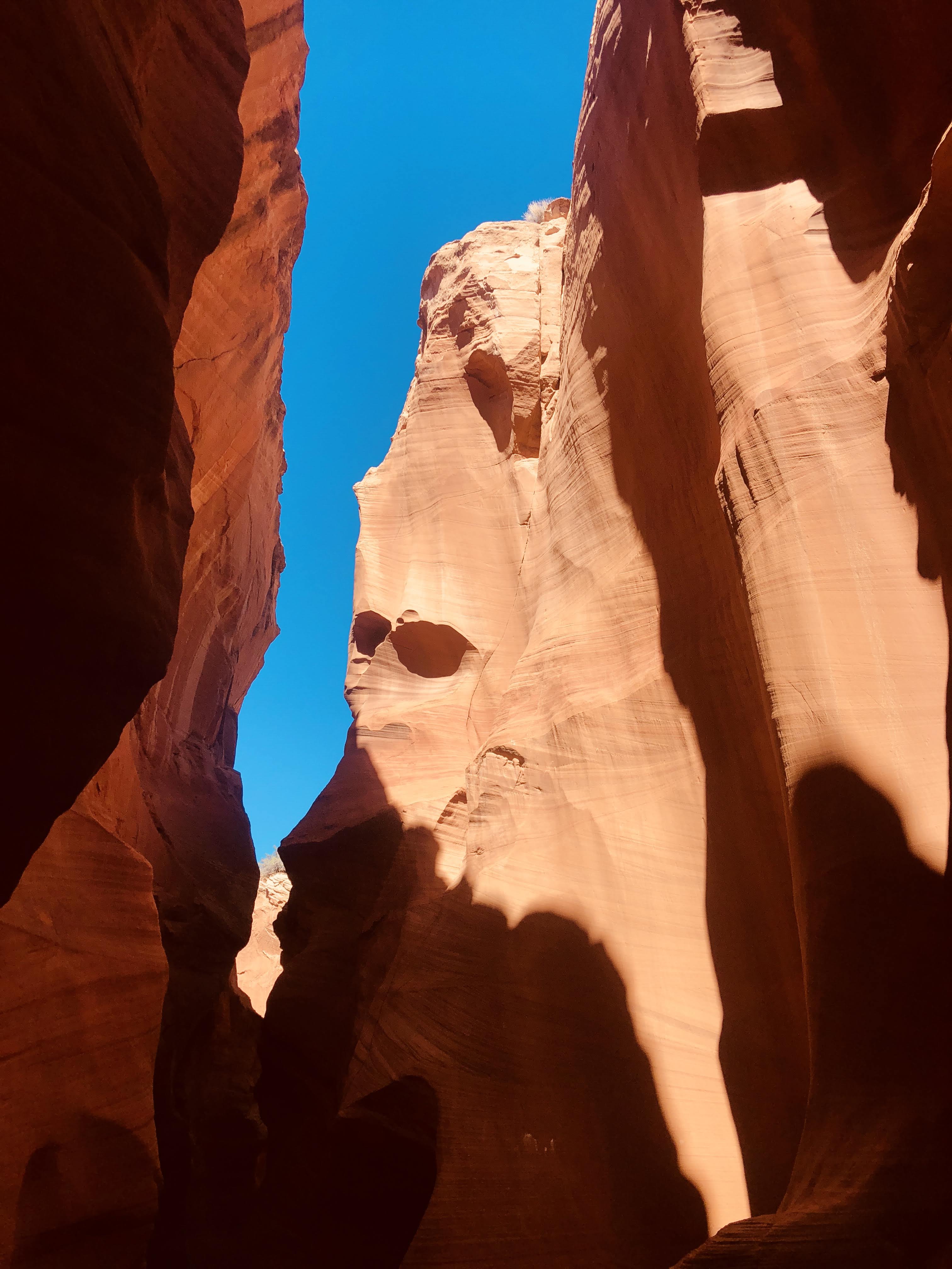
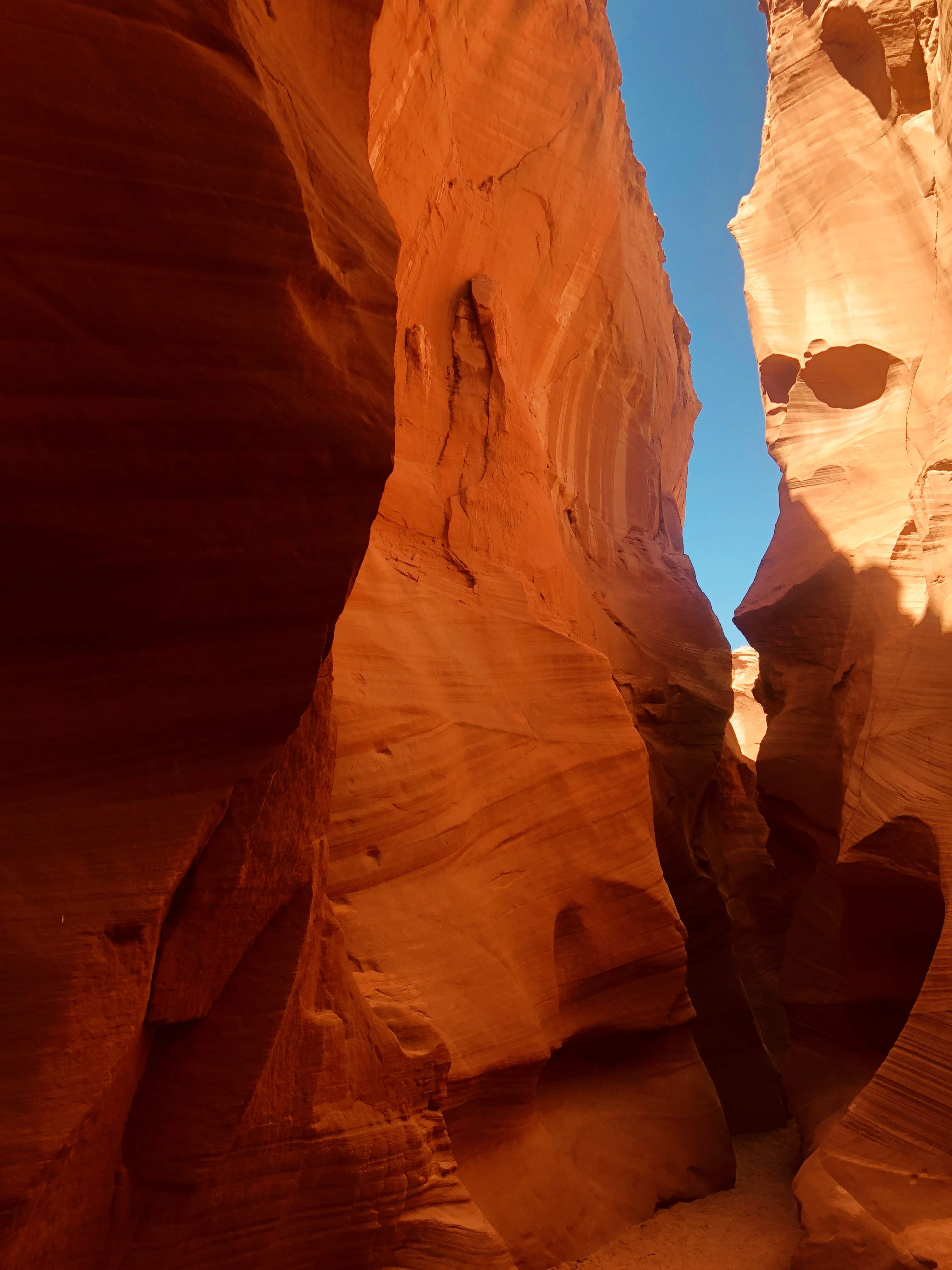
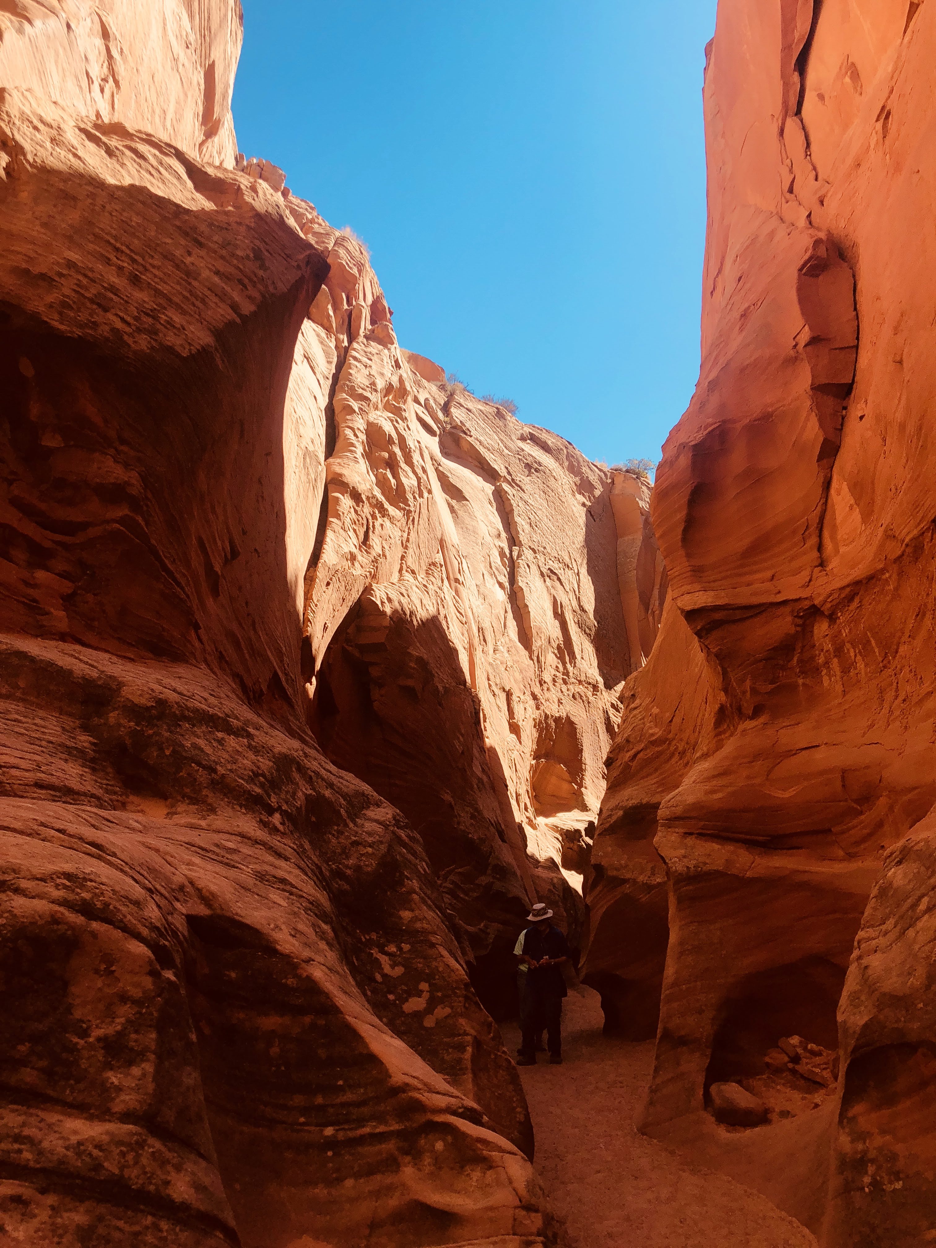
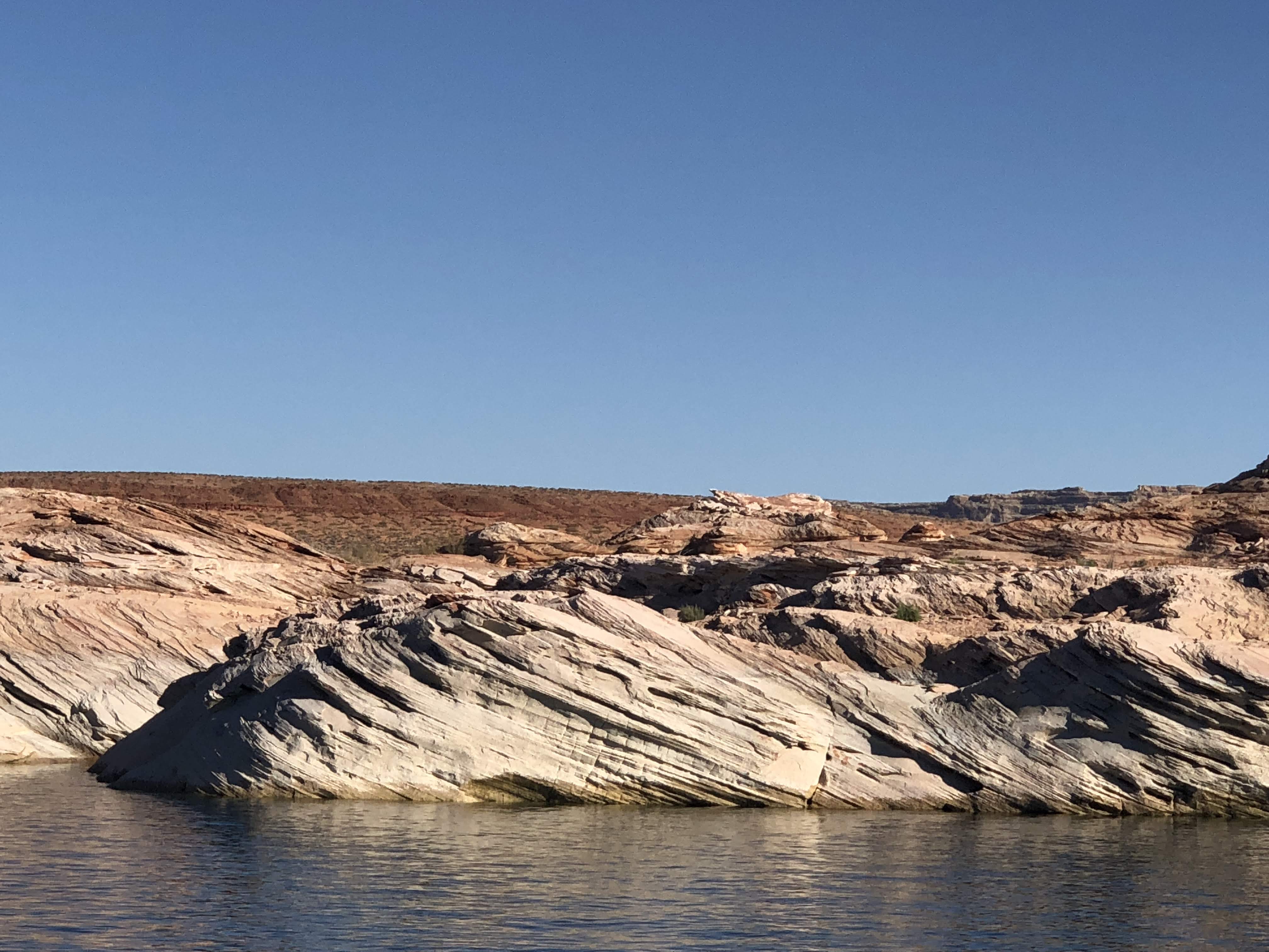
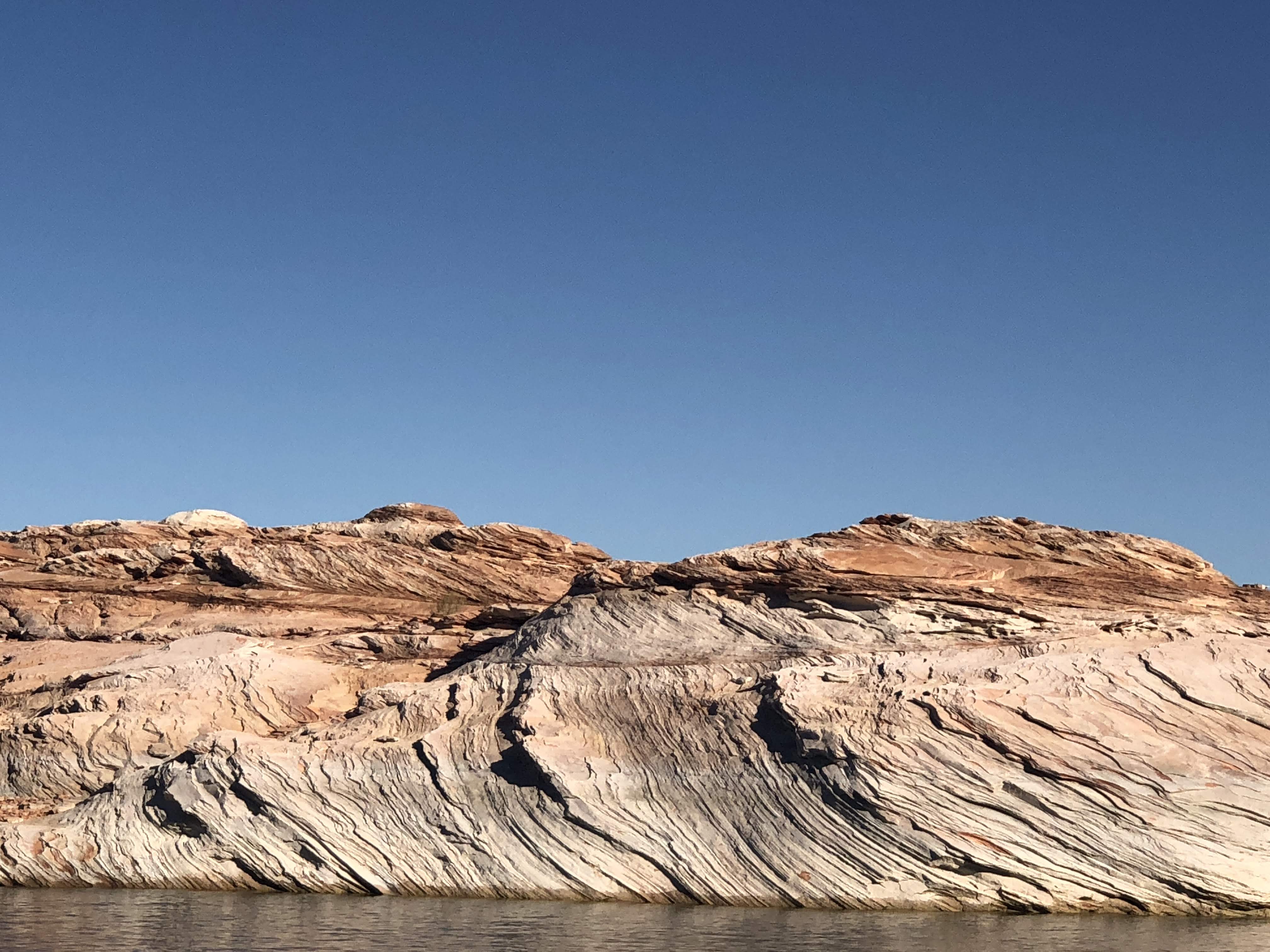
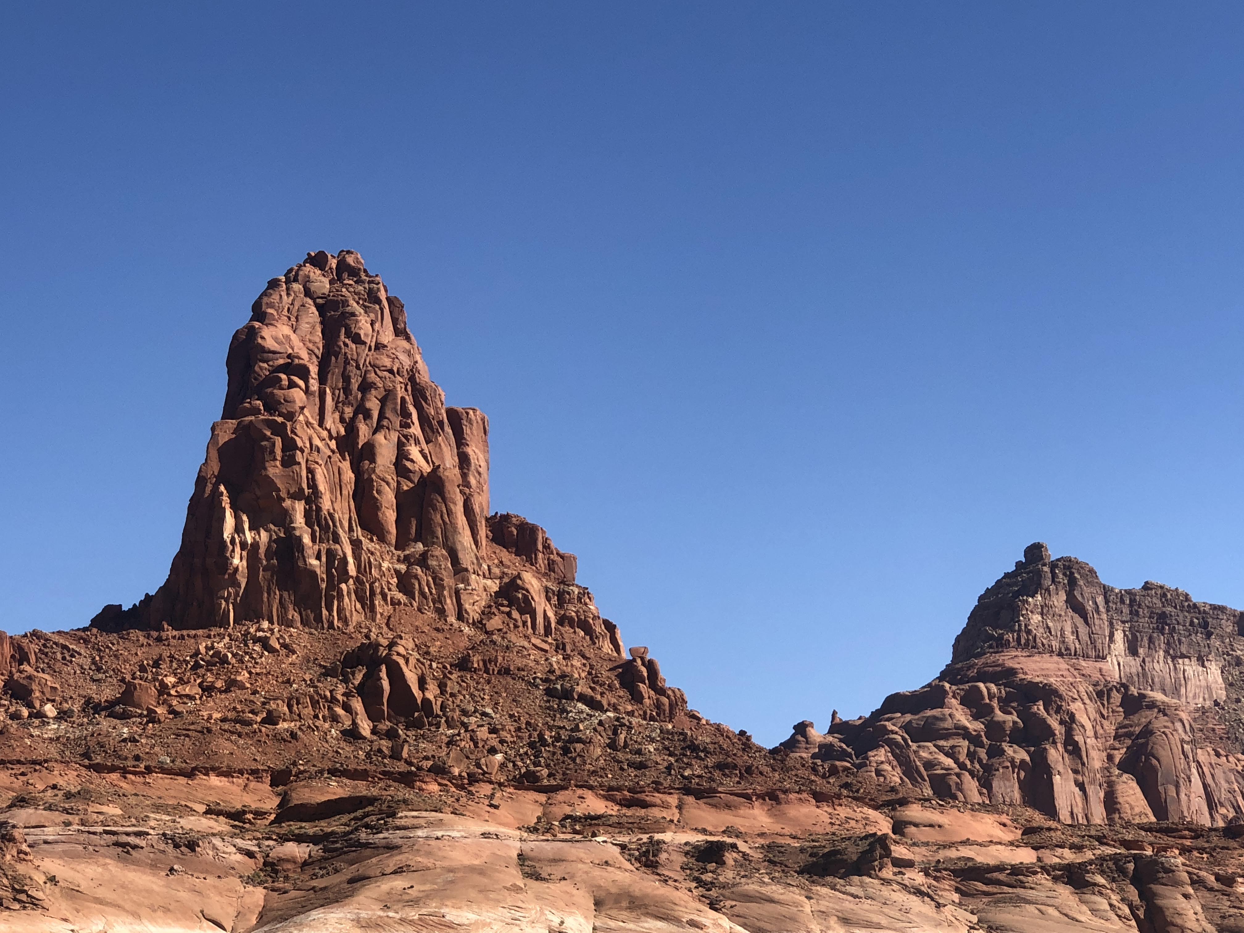
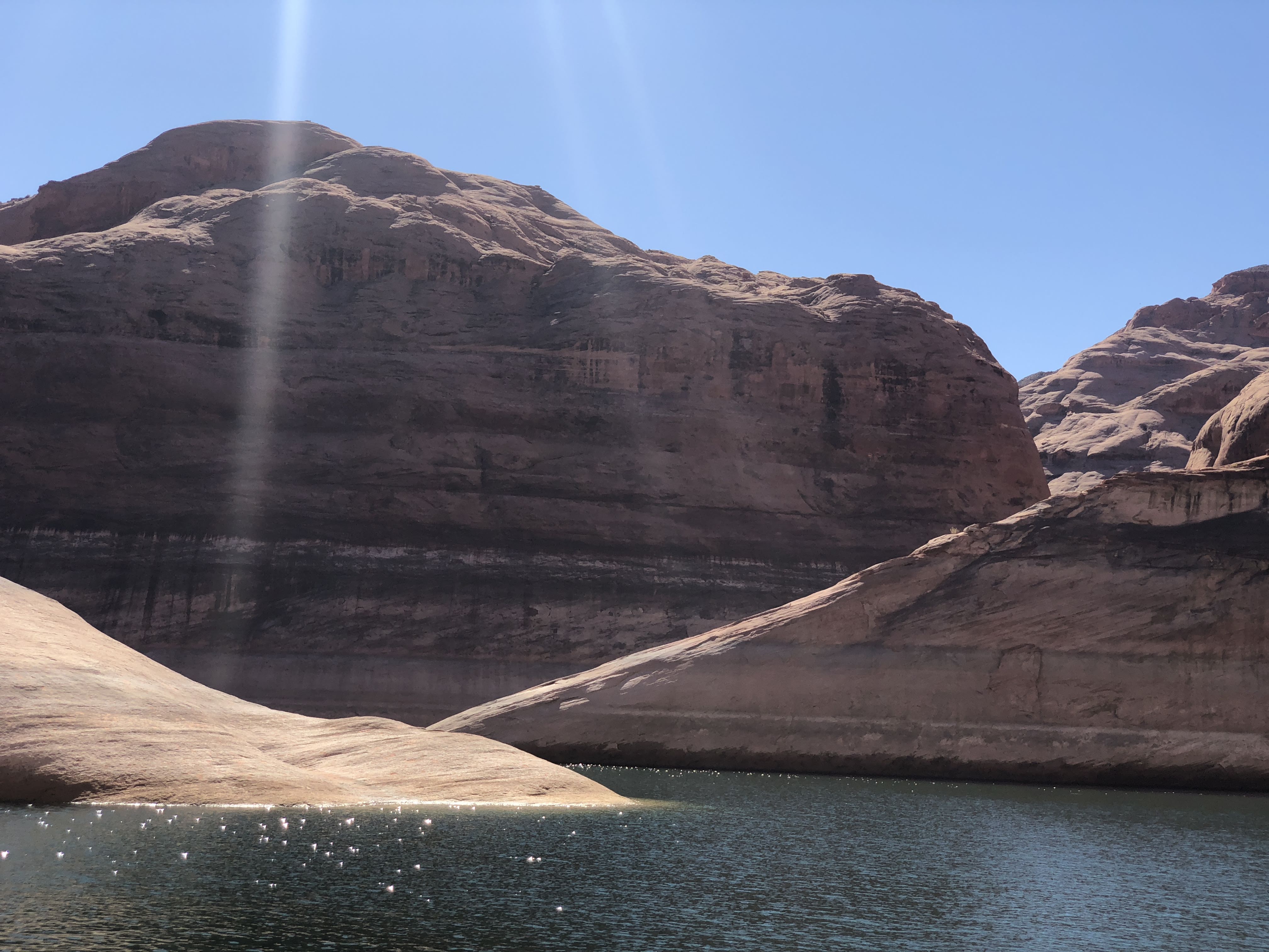
The views are very stark, very moon-like…
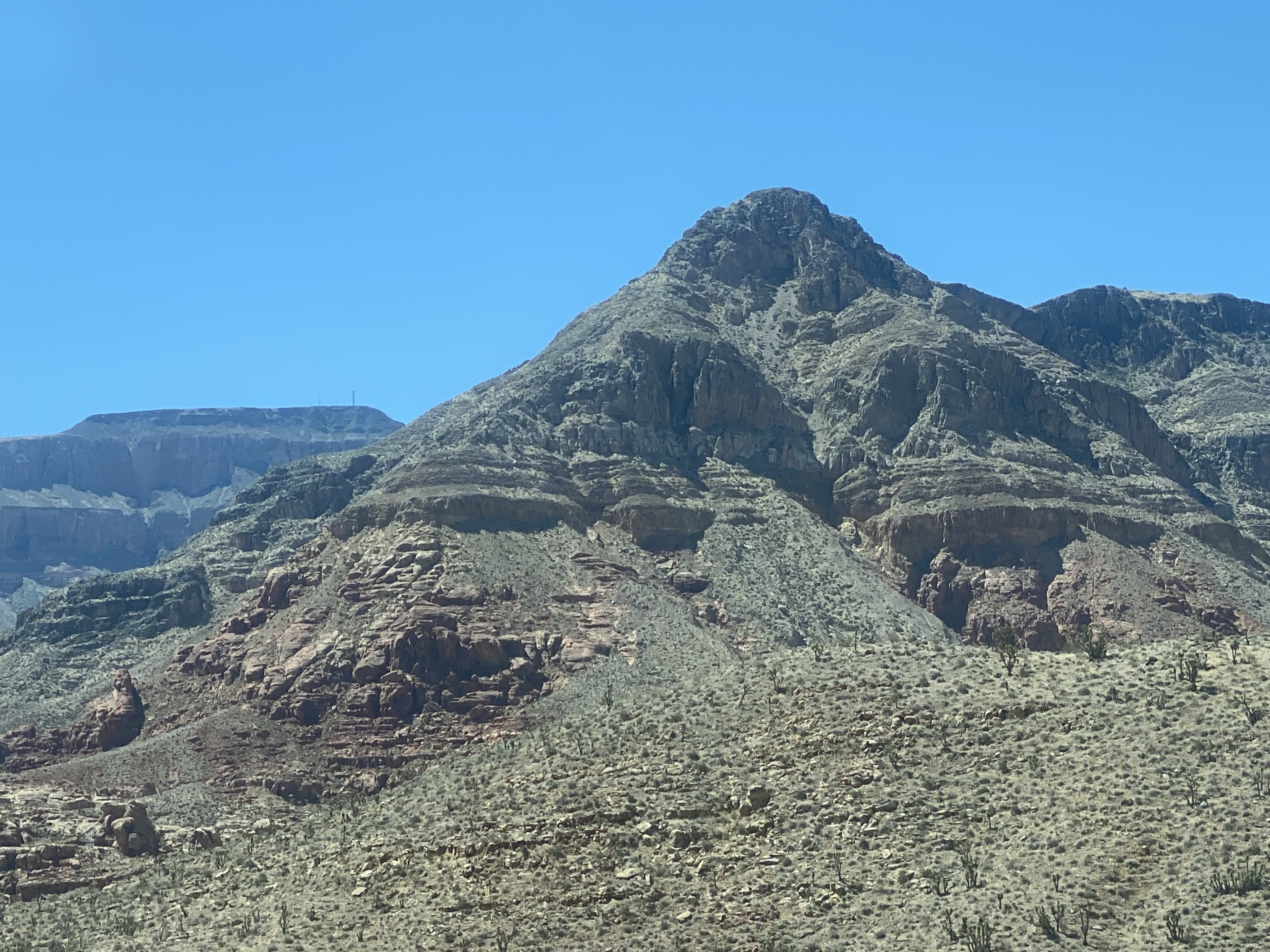
Mountains are rocky and very distinct…


We turned west, and entered the town of Rangley. We parked the Villa and walked the length of the town. We ate lunch at Dottie’s Diner. Best French fries we’ve had on this trip! But the chili had absolutely no spice or heat to it – I suspect there wasn’t even salt and pepper… But we easily put these things aside, and we enjoyed our meal…

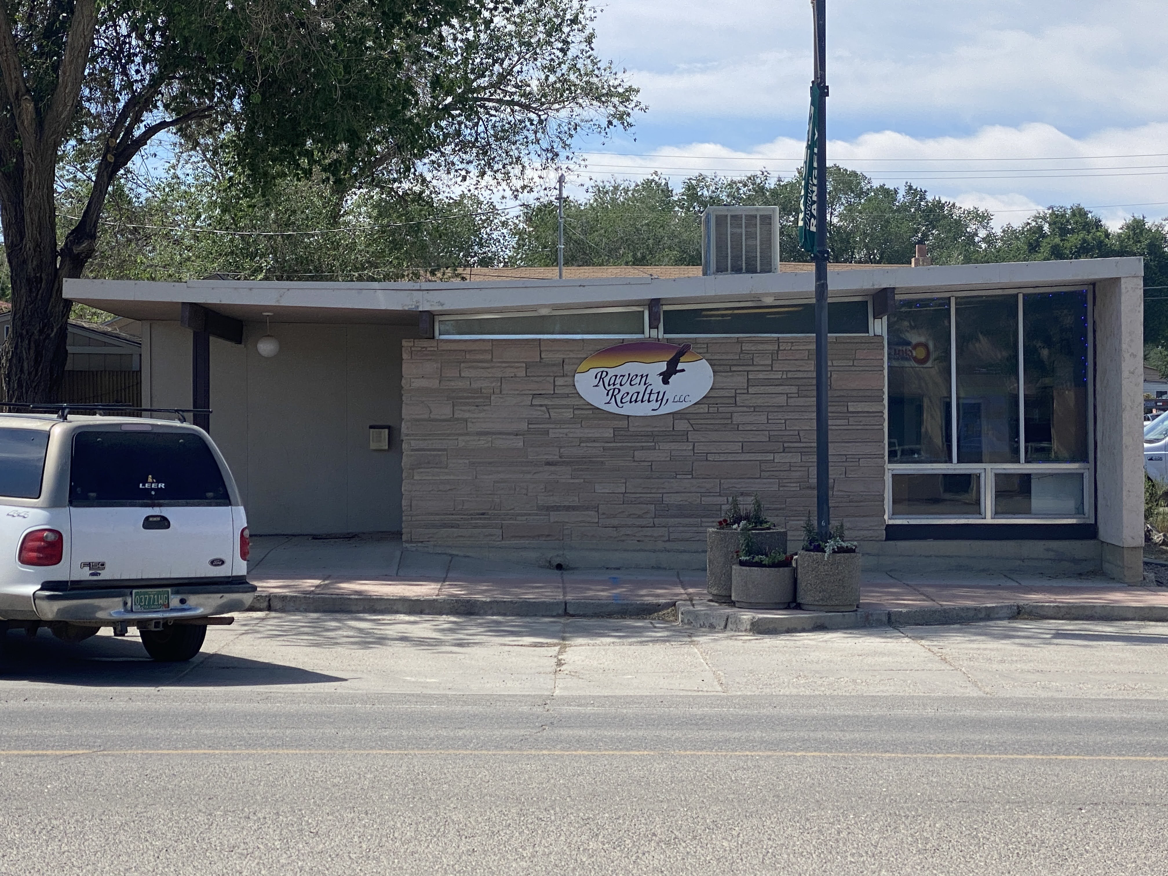
Walking back to the Villa we passed one of the very few modern building we have seen on this trip…
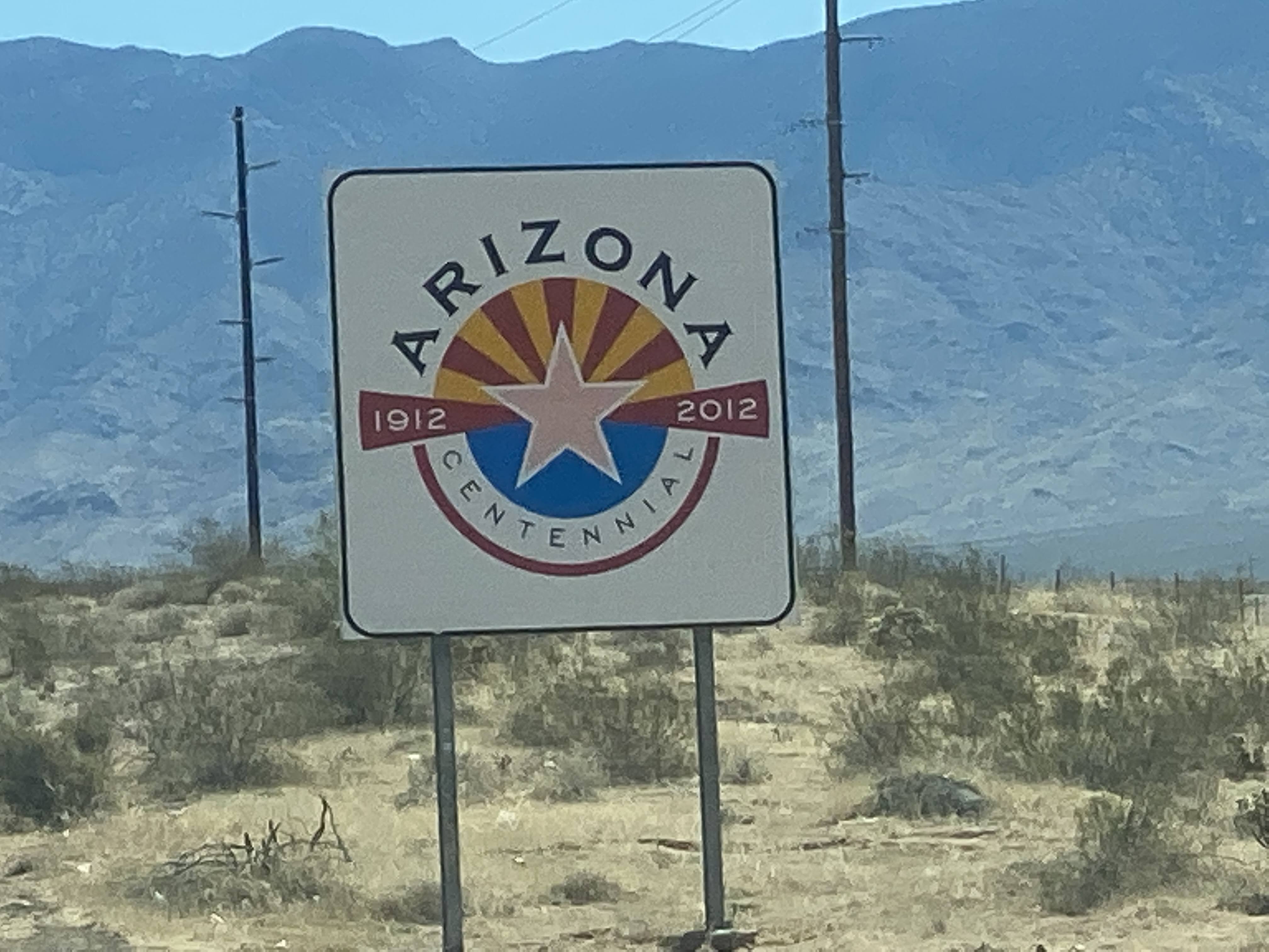
We walked back to the Villa and continued west, into Utah!

We proceeded west, passing through Dinosaur, CO, where the local townsfolk have a lot of fun naming their streets things like Brontosaurus Street and naming their ice cream parlor “Bedrock”…

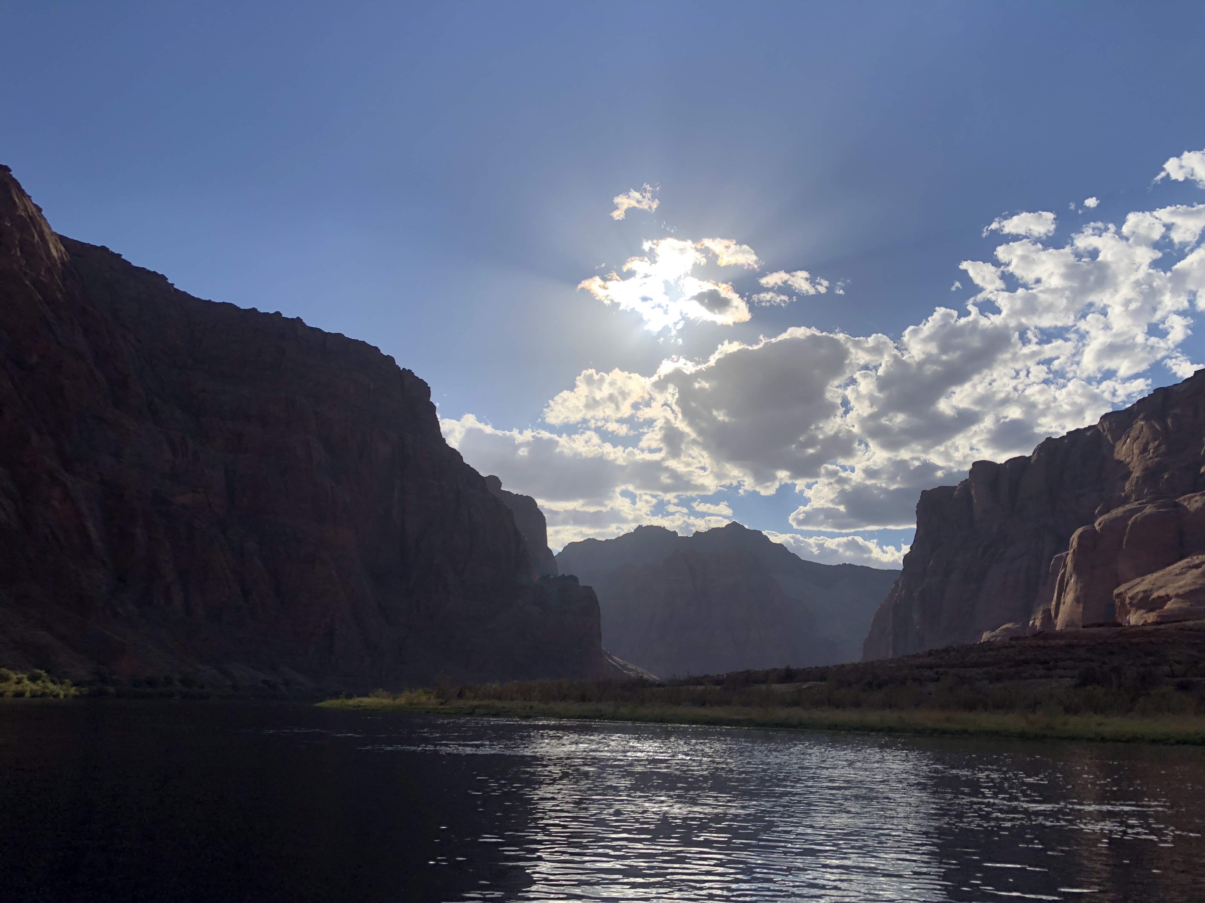
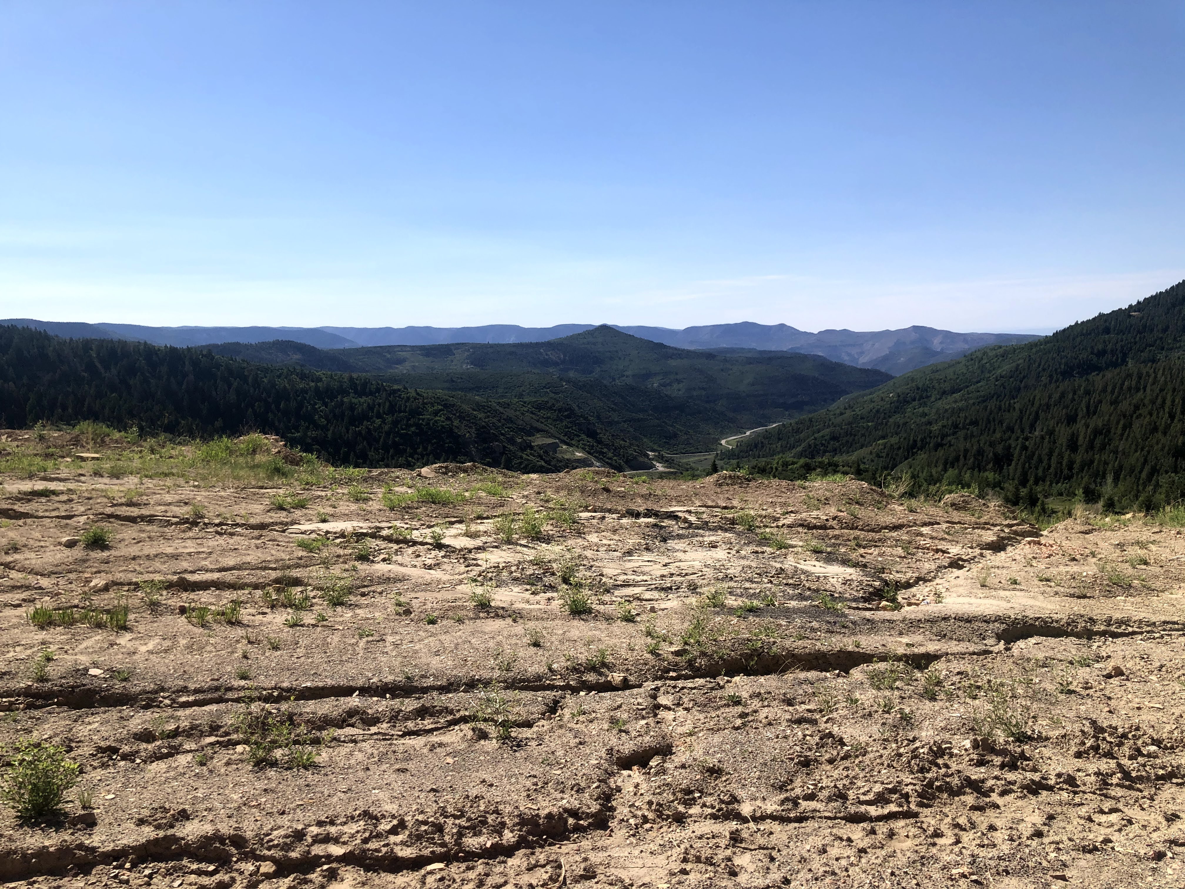
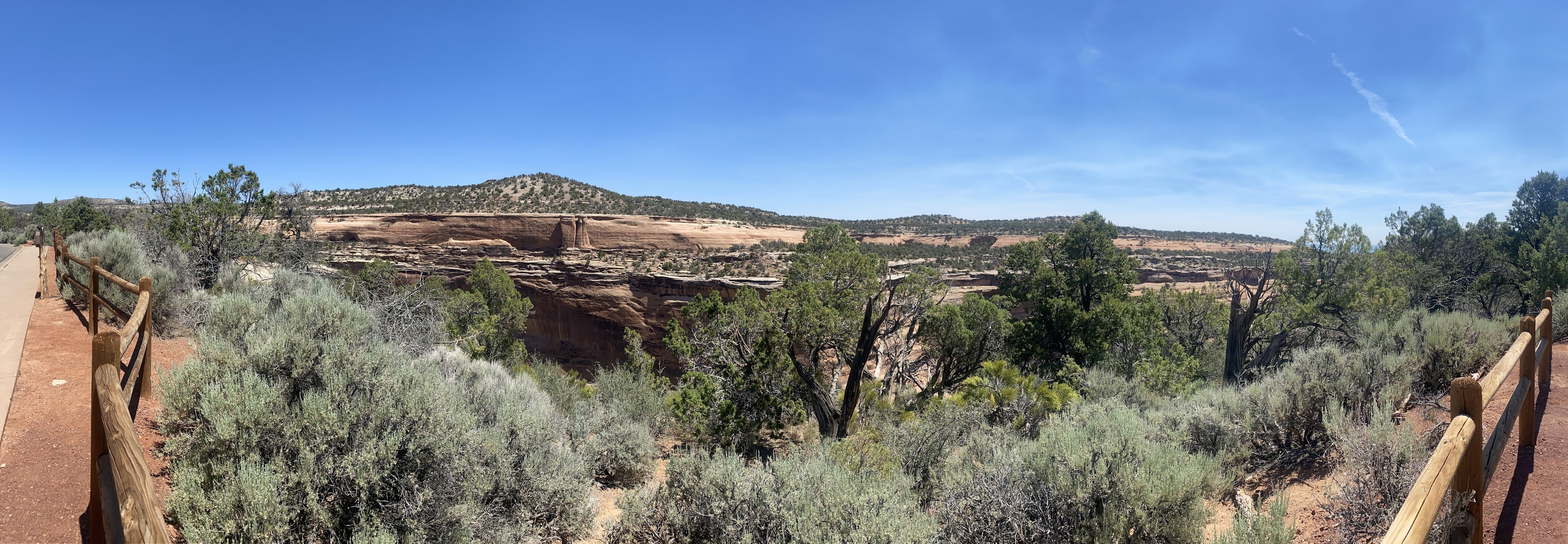
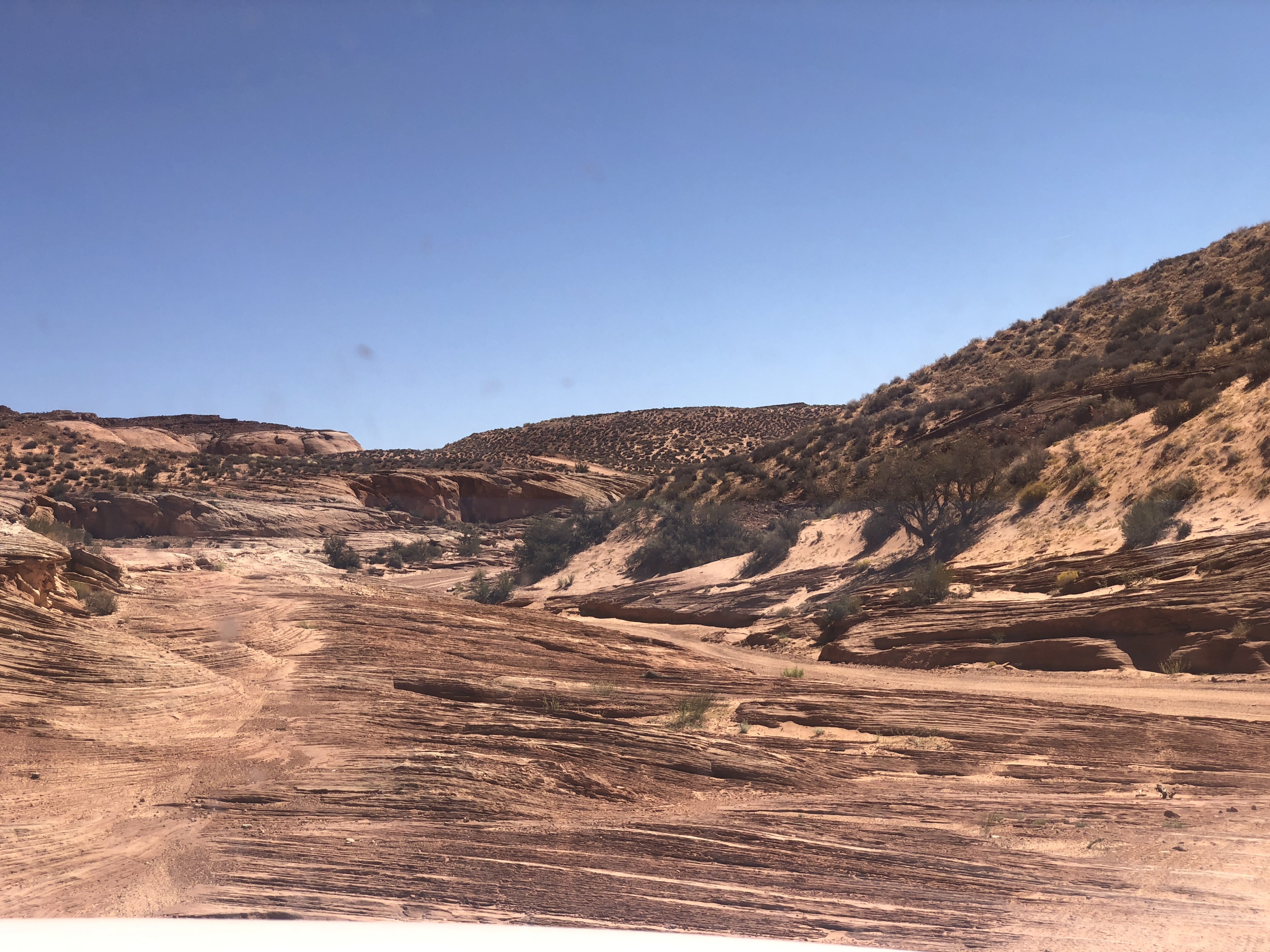
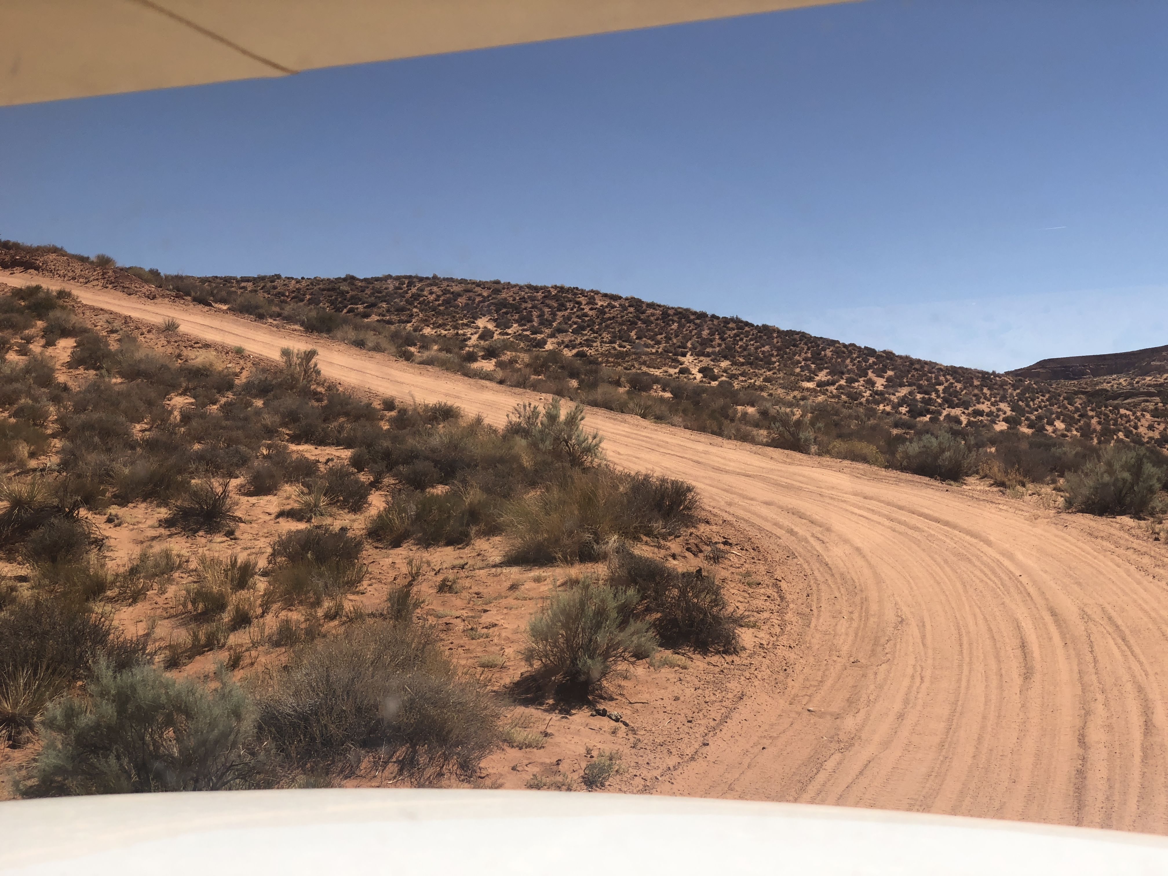
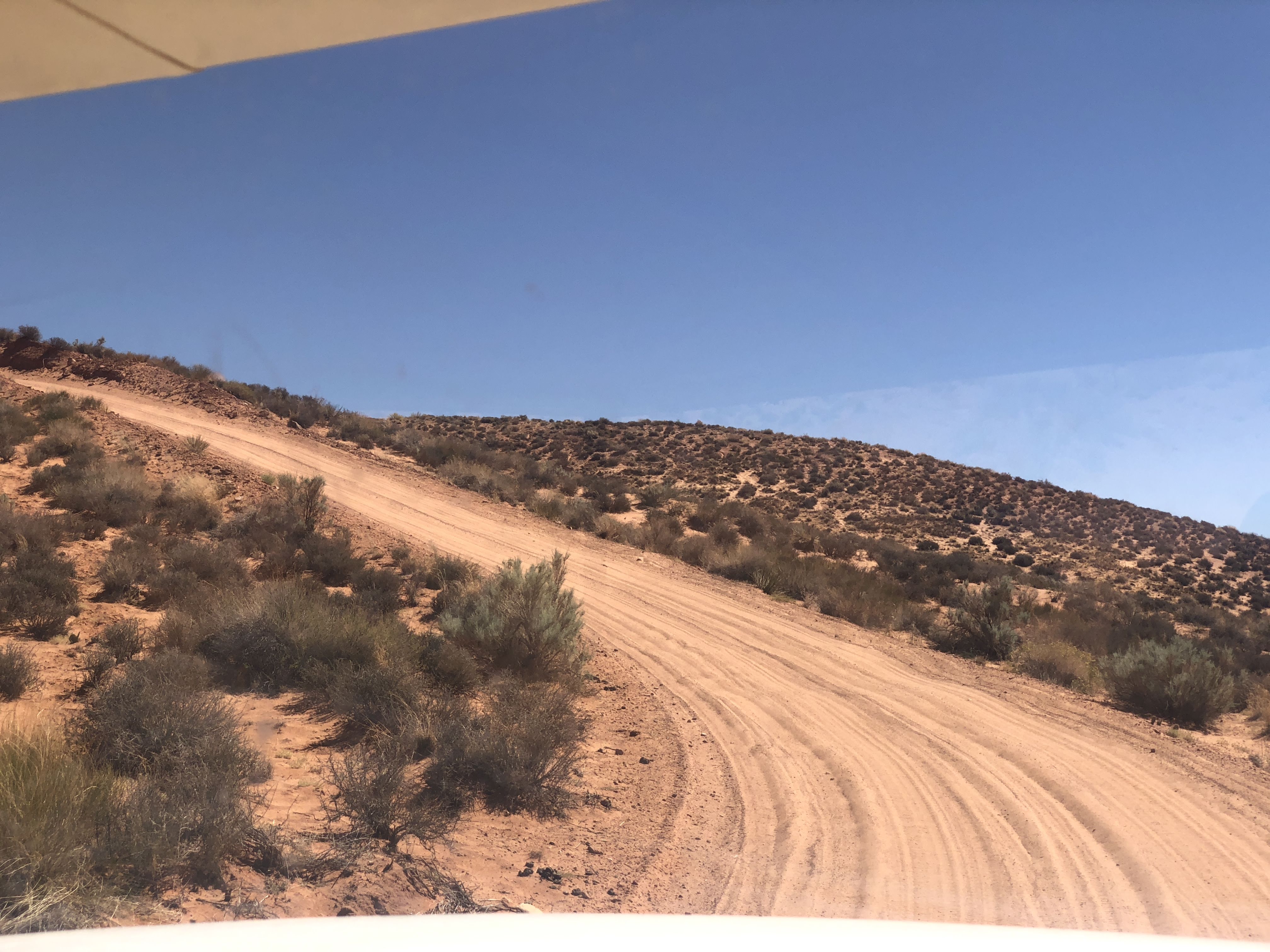
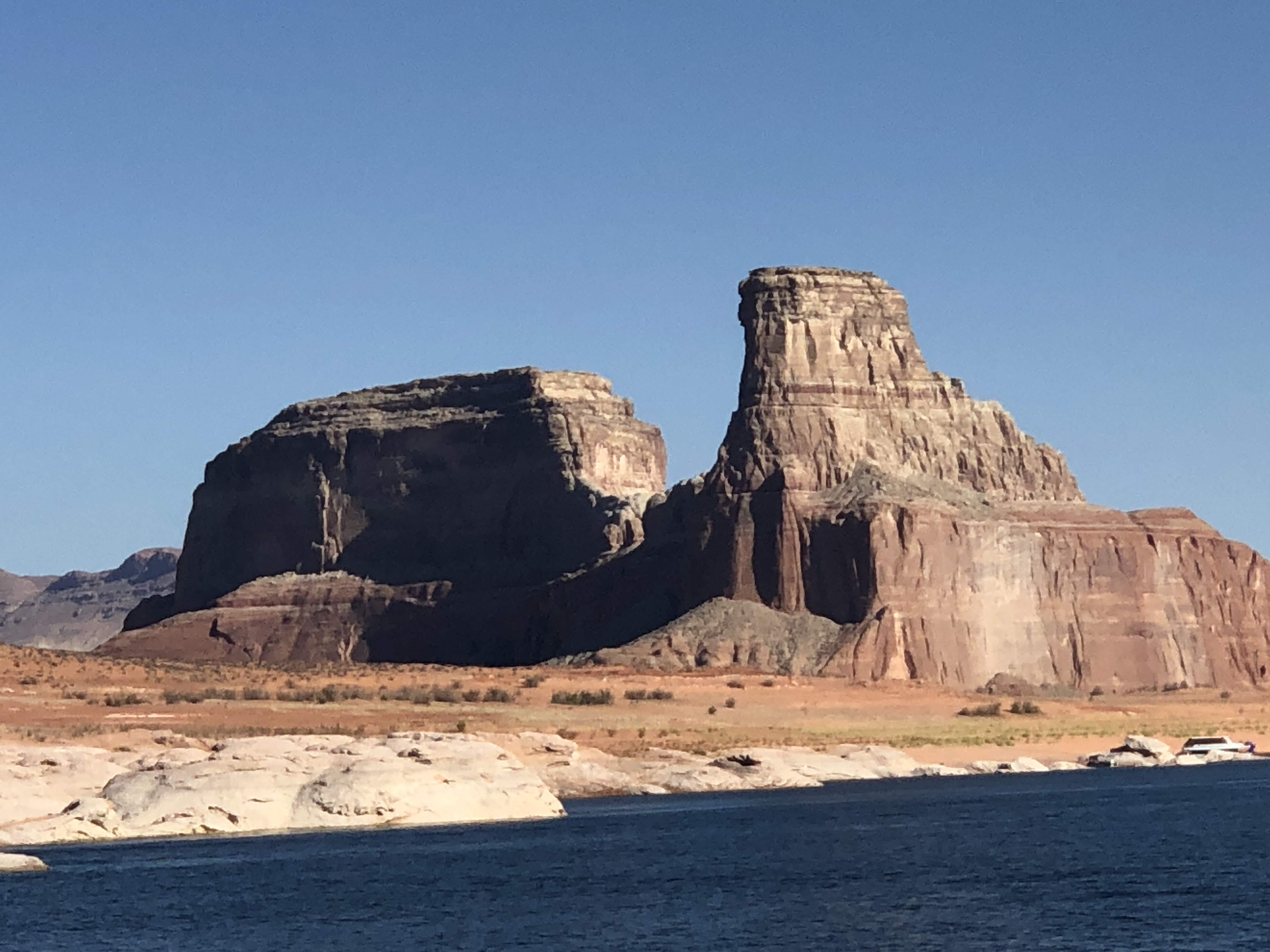
Utah looks a lot like Colorado here…
We proceeded west, finally arriving at the tiny town of Jensen, UT. We turned north and entered Dinosaur National Monument…
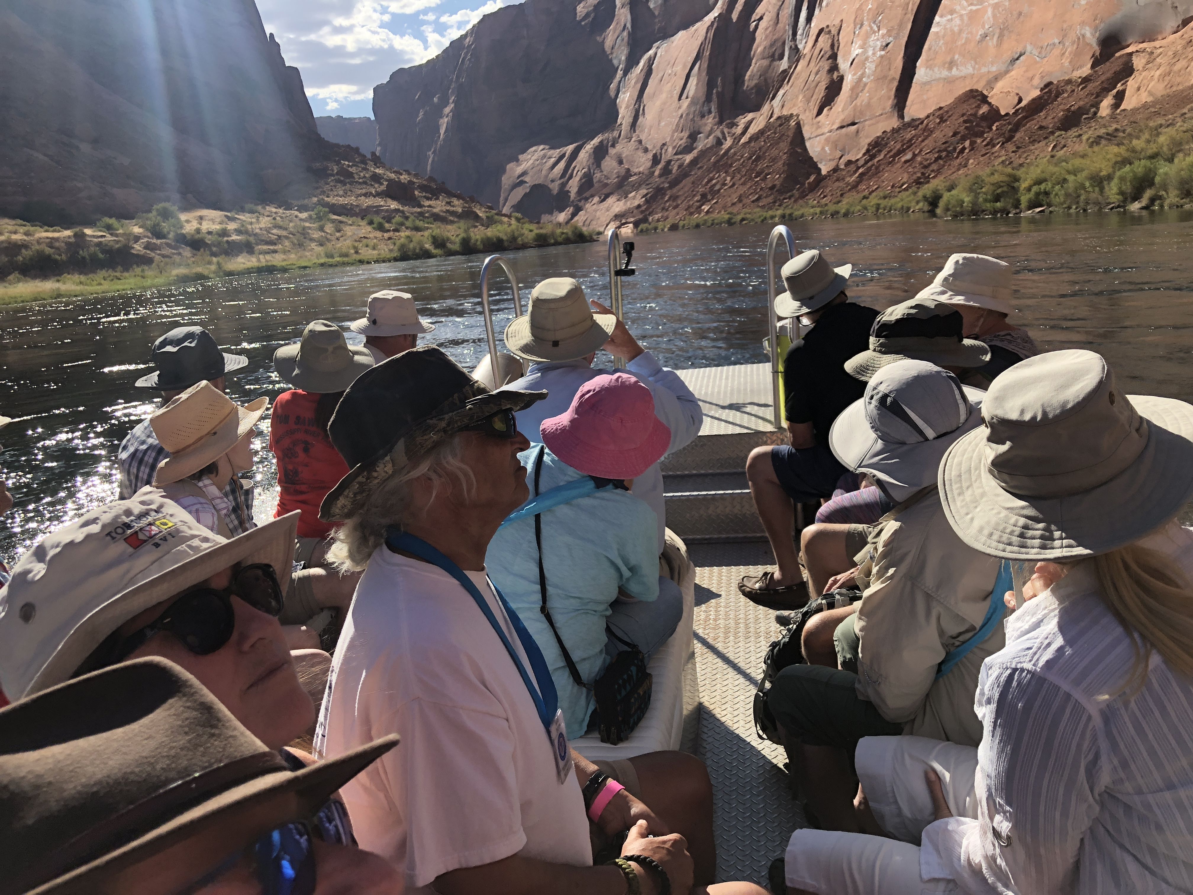
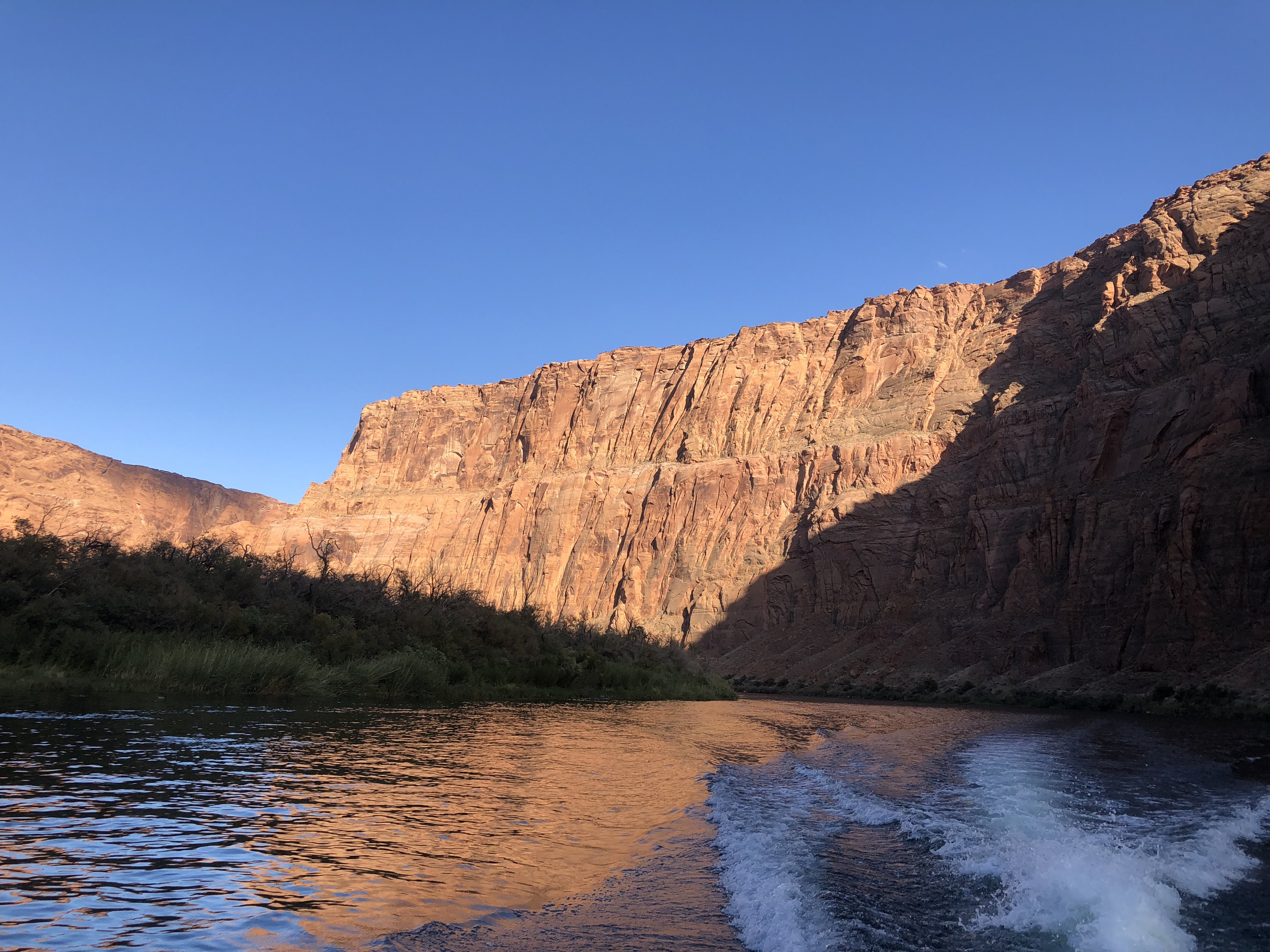
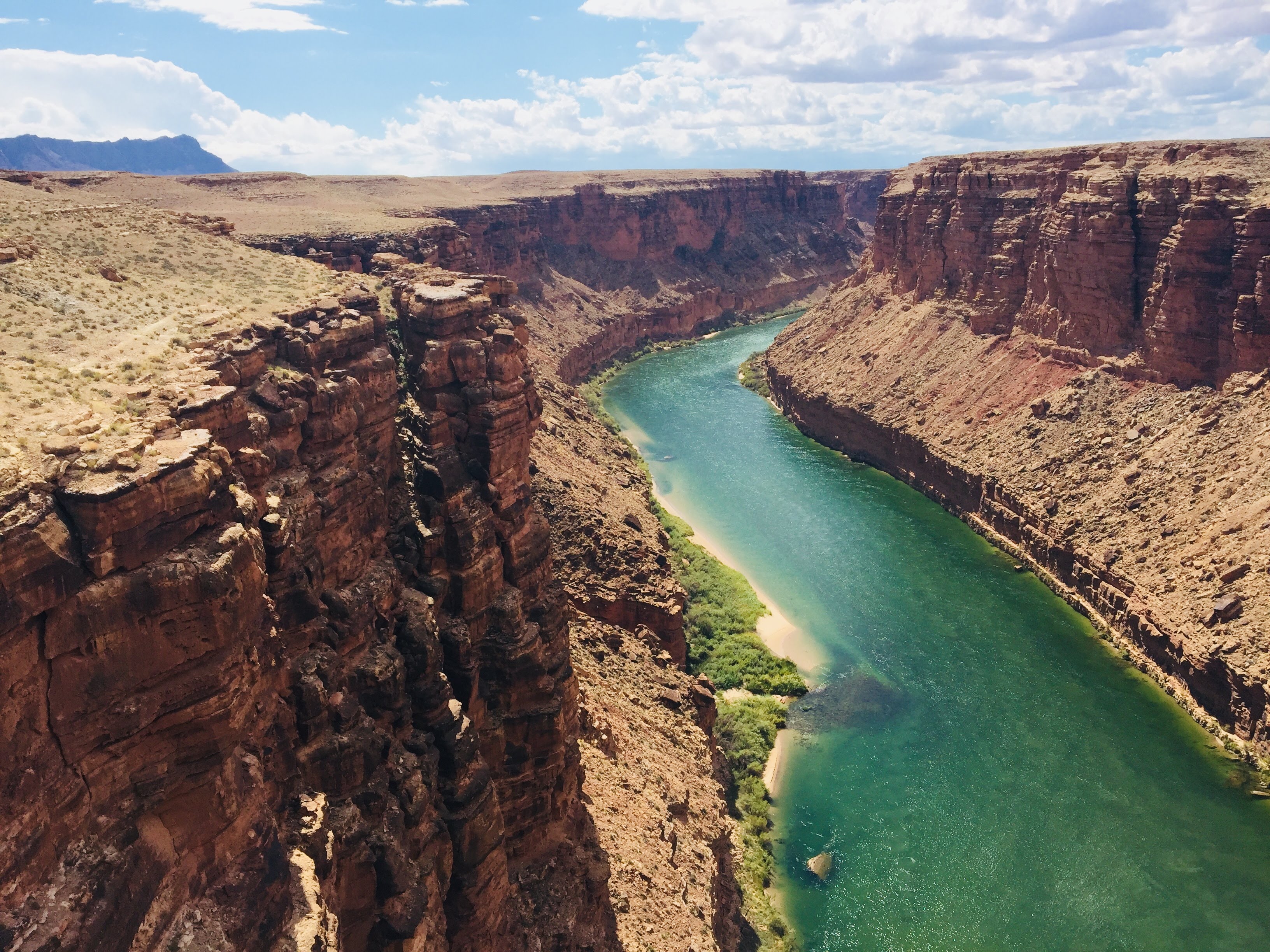
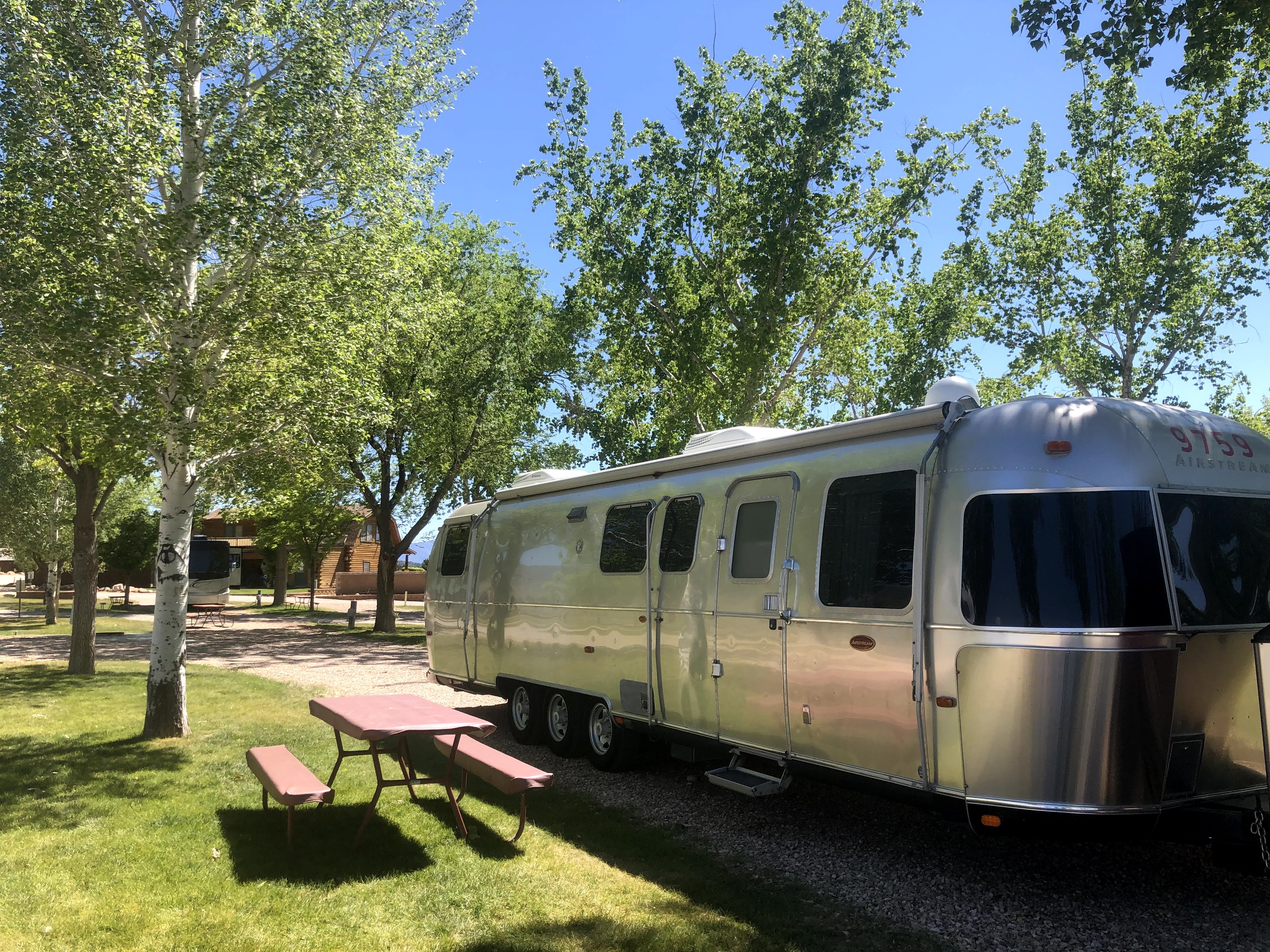
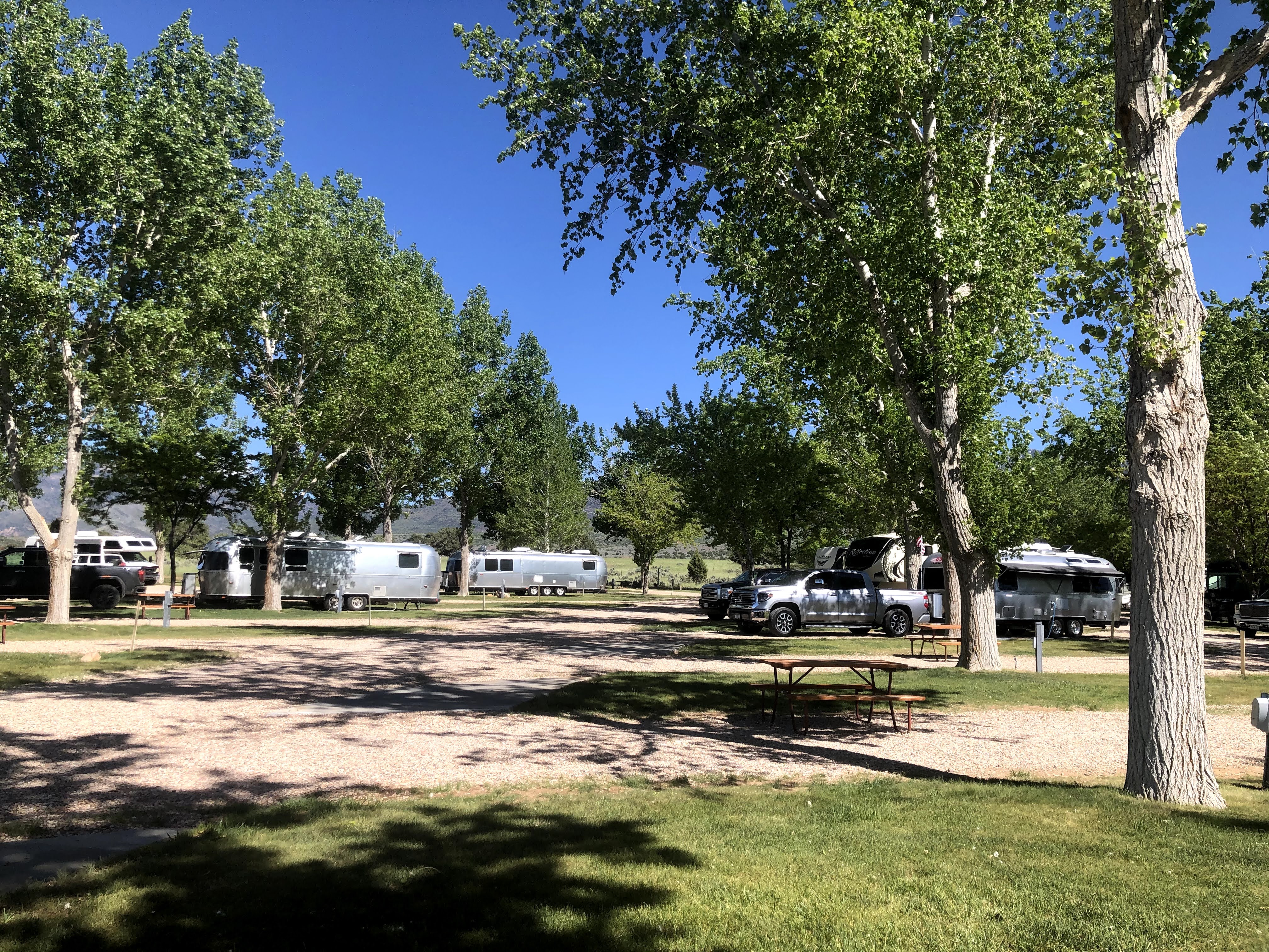
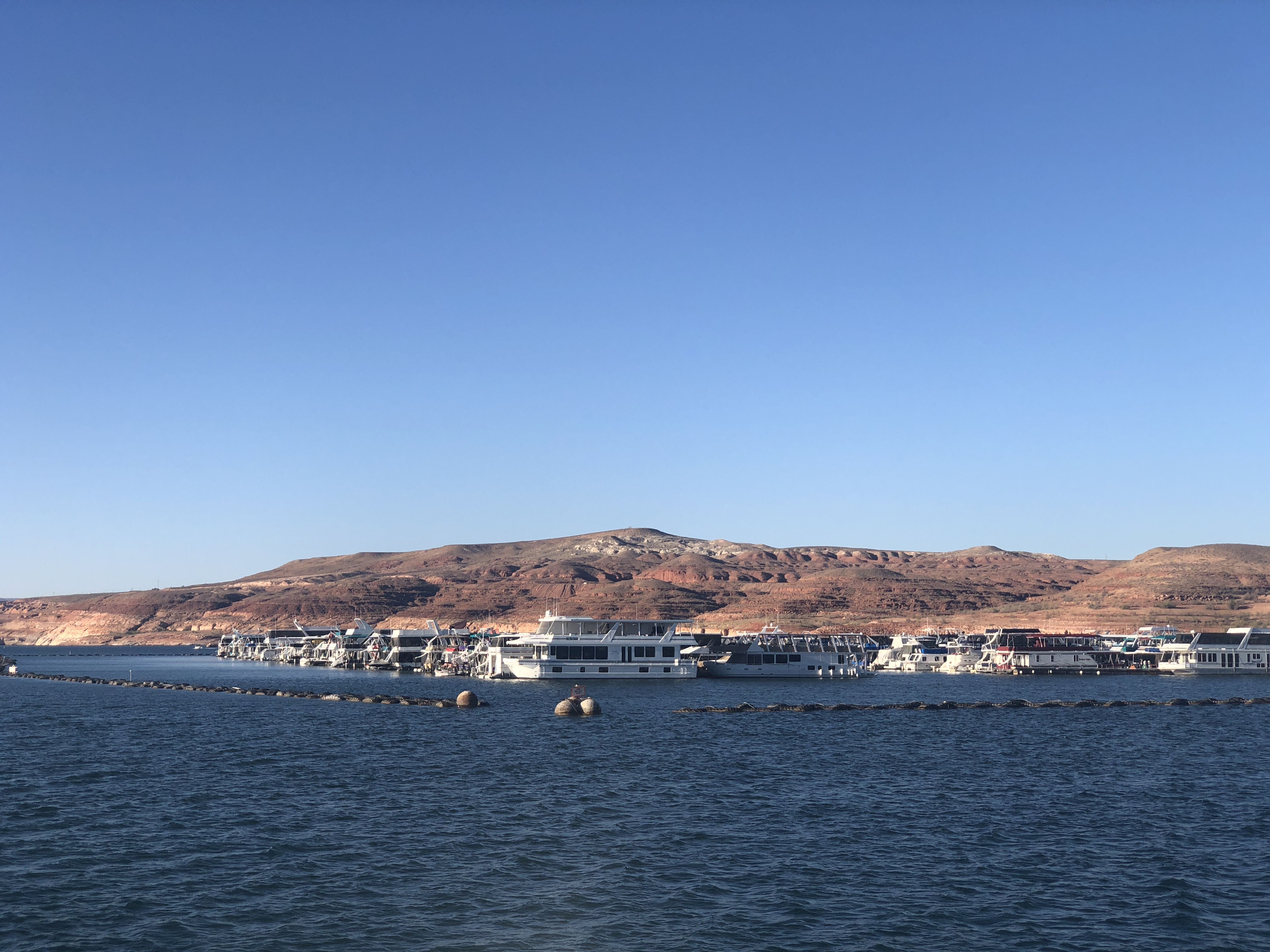
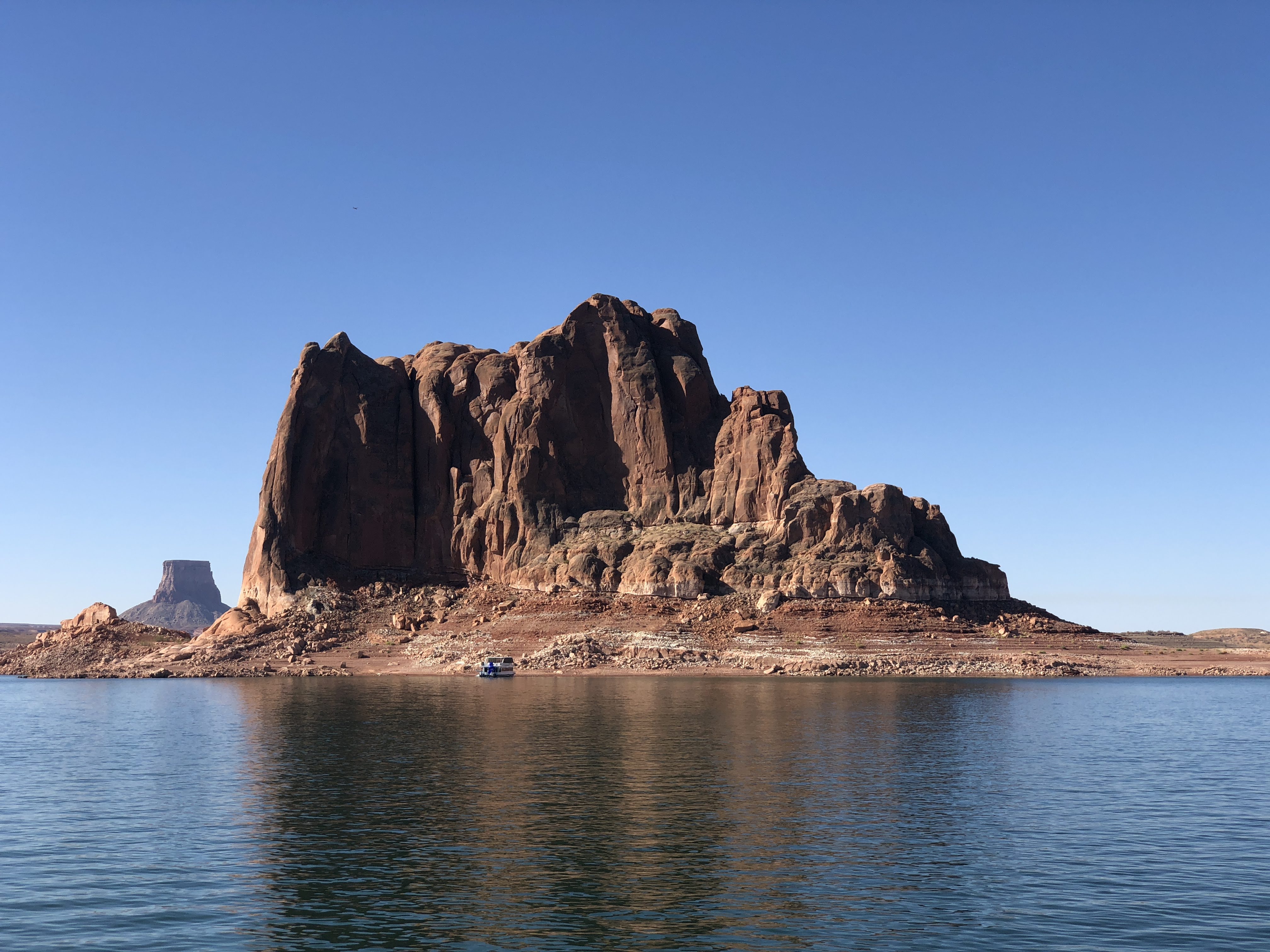
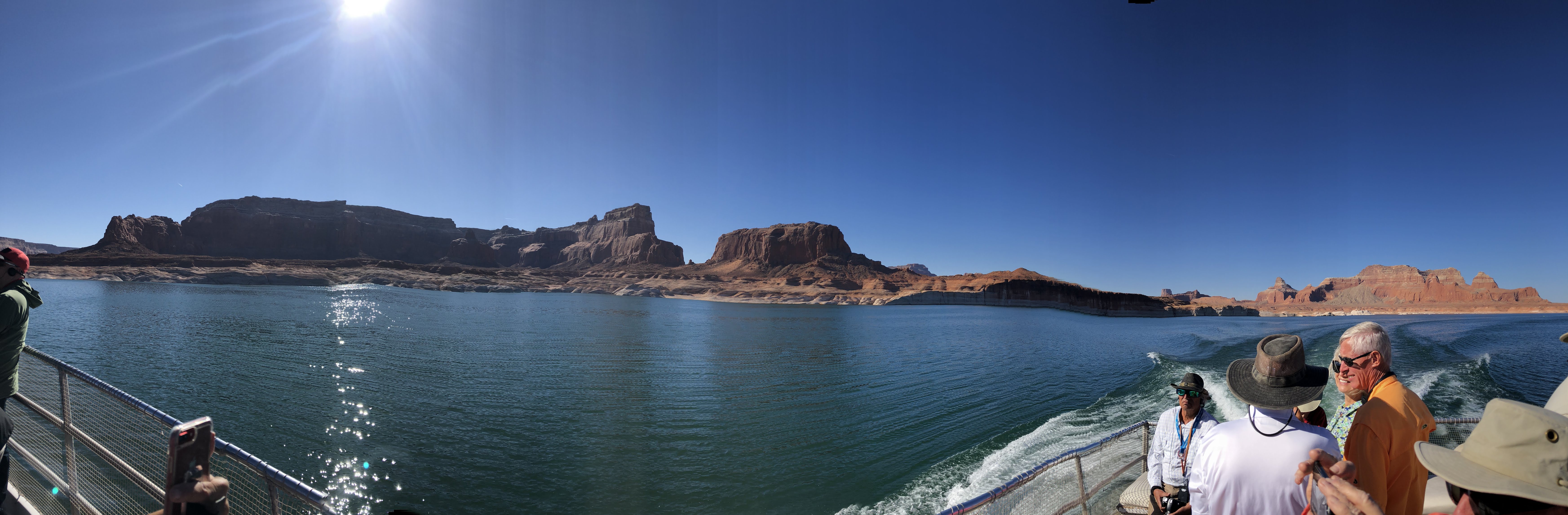
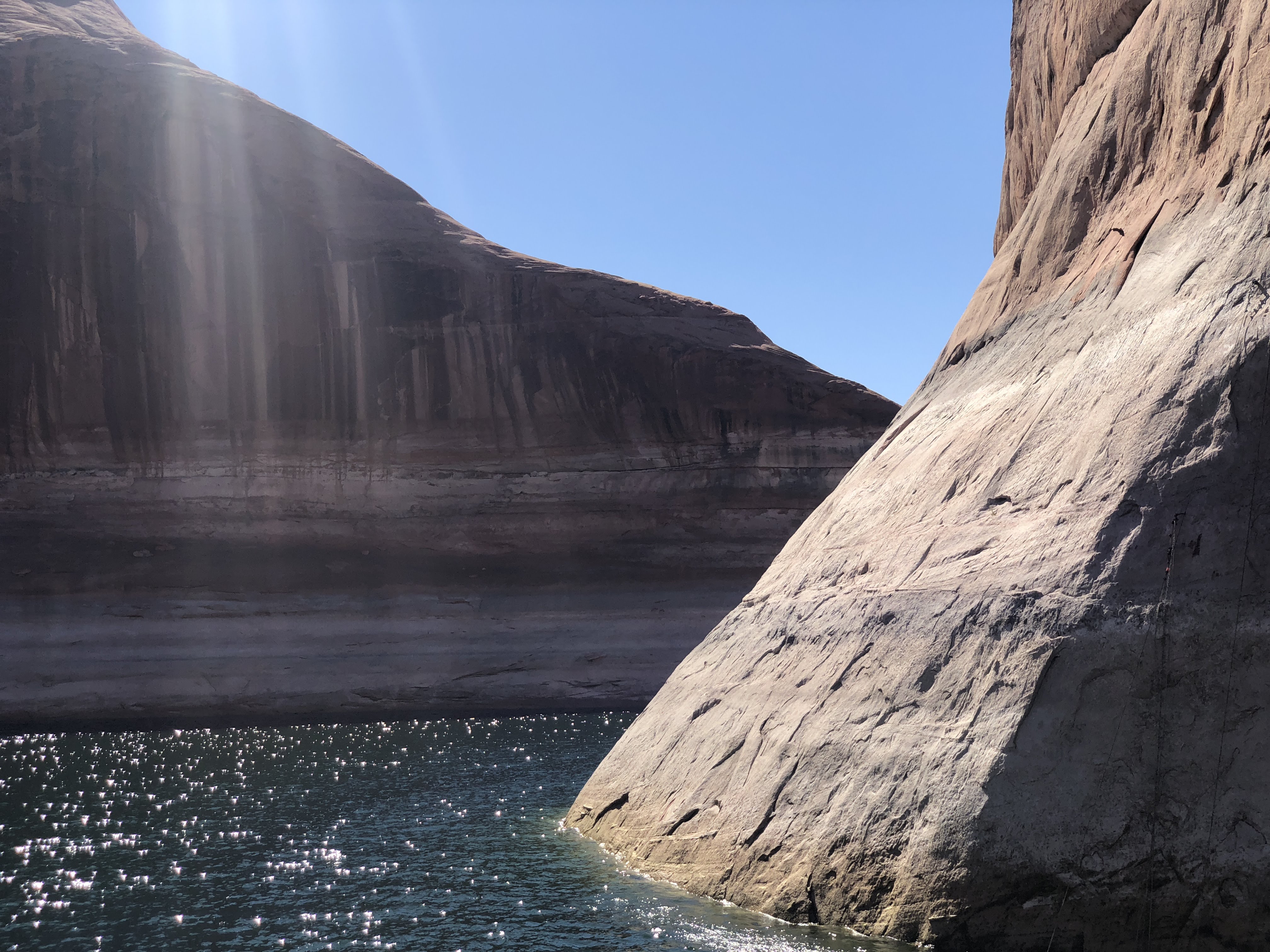
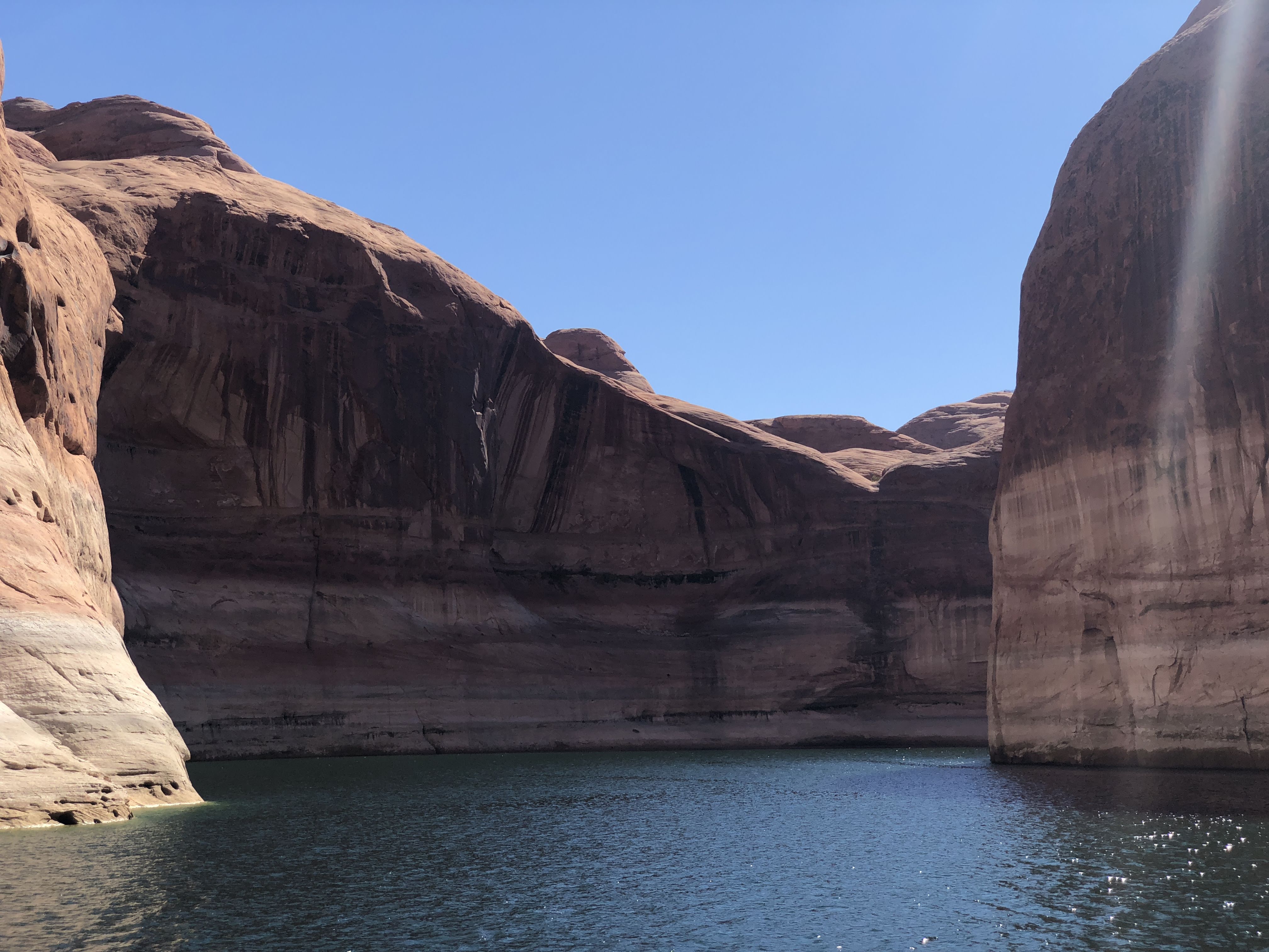
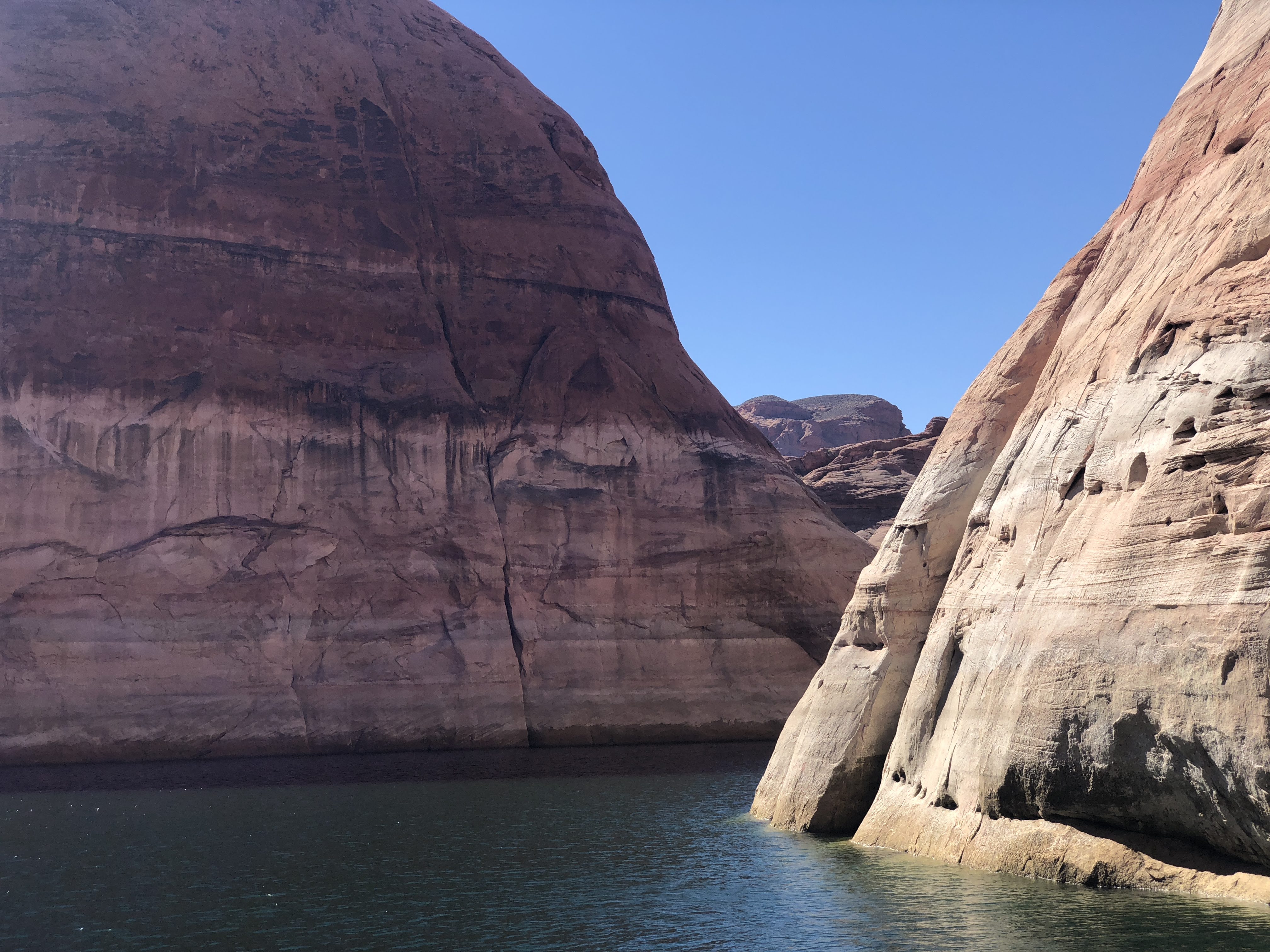
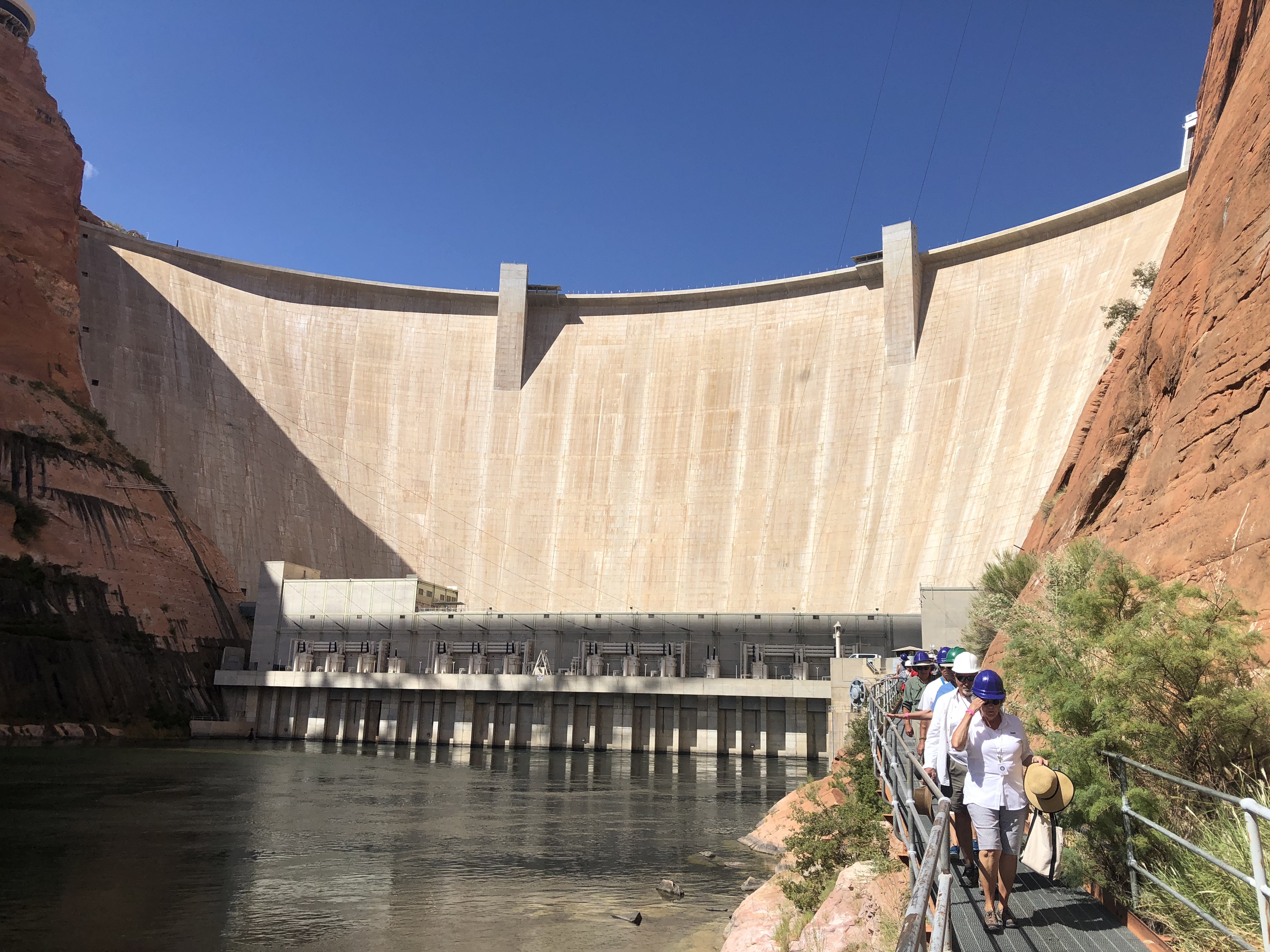
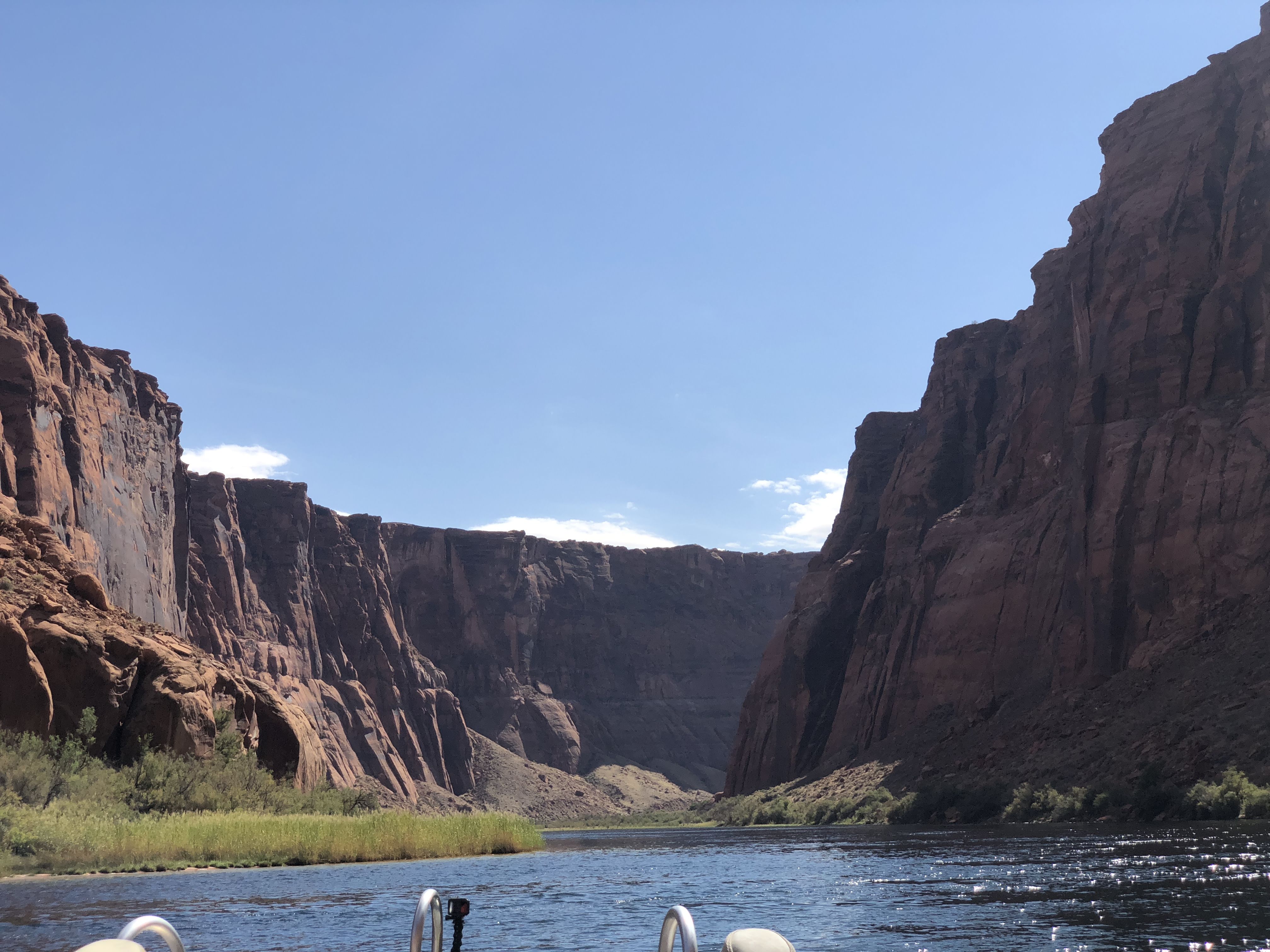
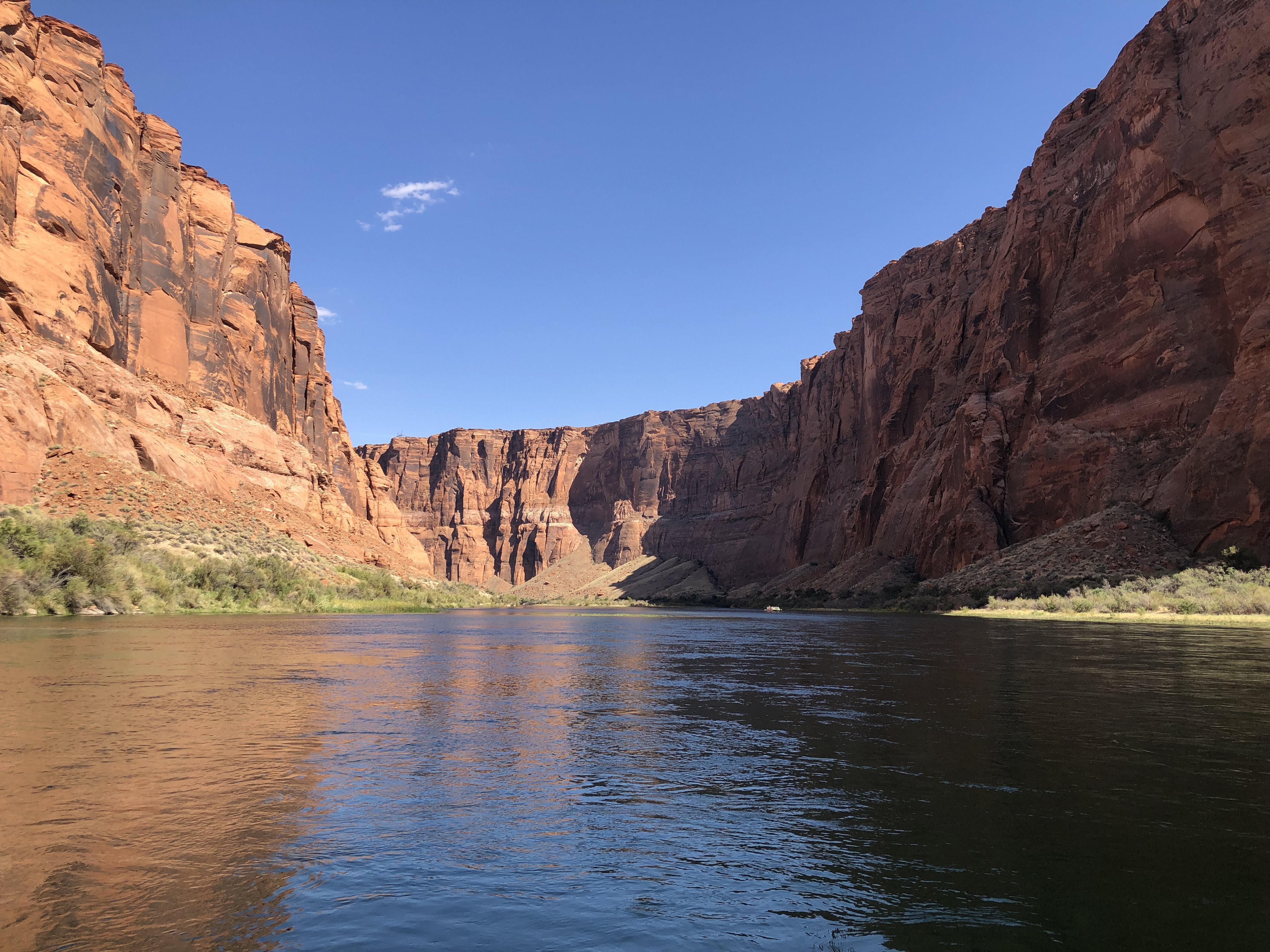
Our RV park is in a valley adjacent to the Green River. The Green River here is about as large as the Colorado River was near Fruita. Many miles south of here, just north of Moab, Utah, in the city of Green River, Utah, the Green joins the Colorado, and the Colorado becomes a very large river. It was at this point, on the Green River, that John Wesley Powell began his exploration of the Colorado River, starting in 1869, eventually traveling through the Grand Canyon…

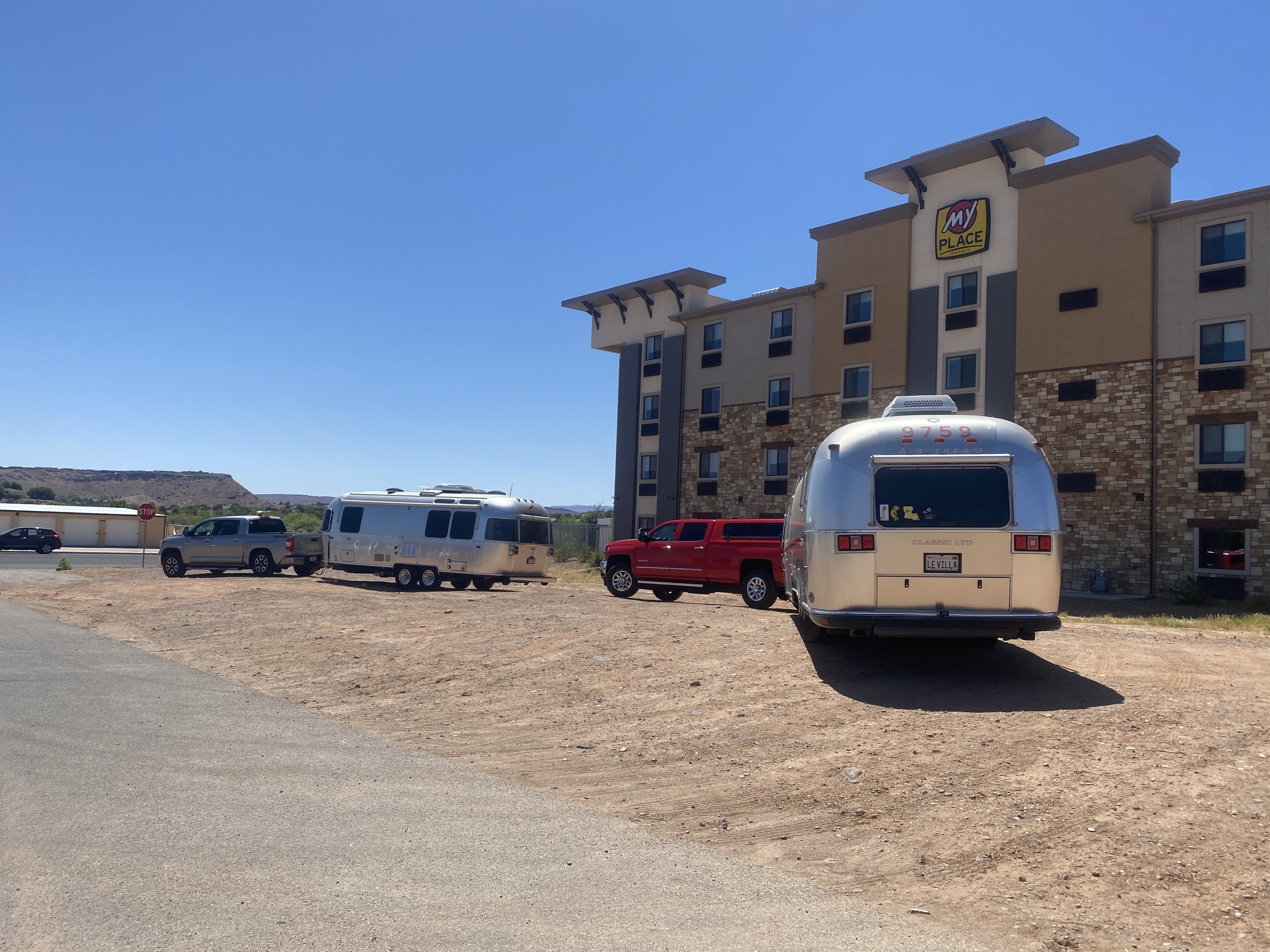
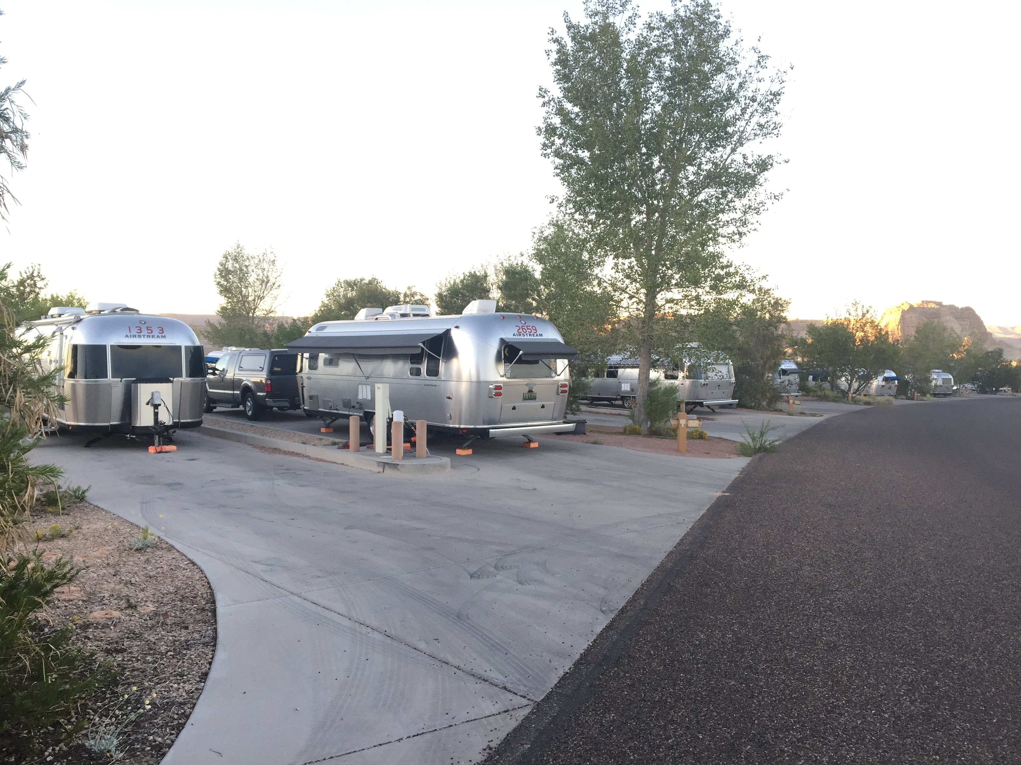
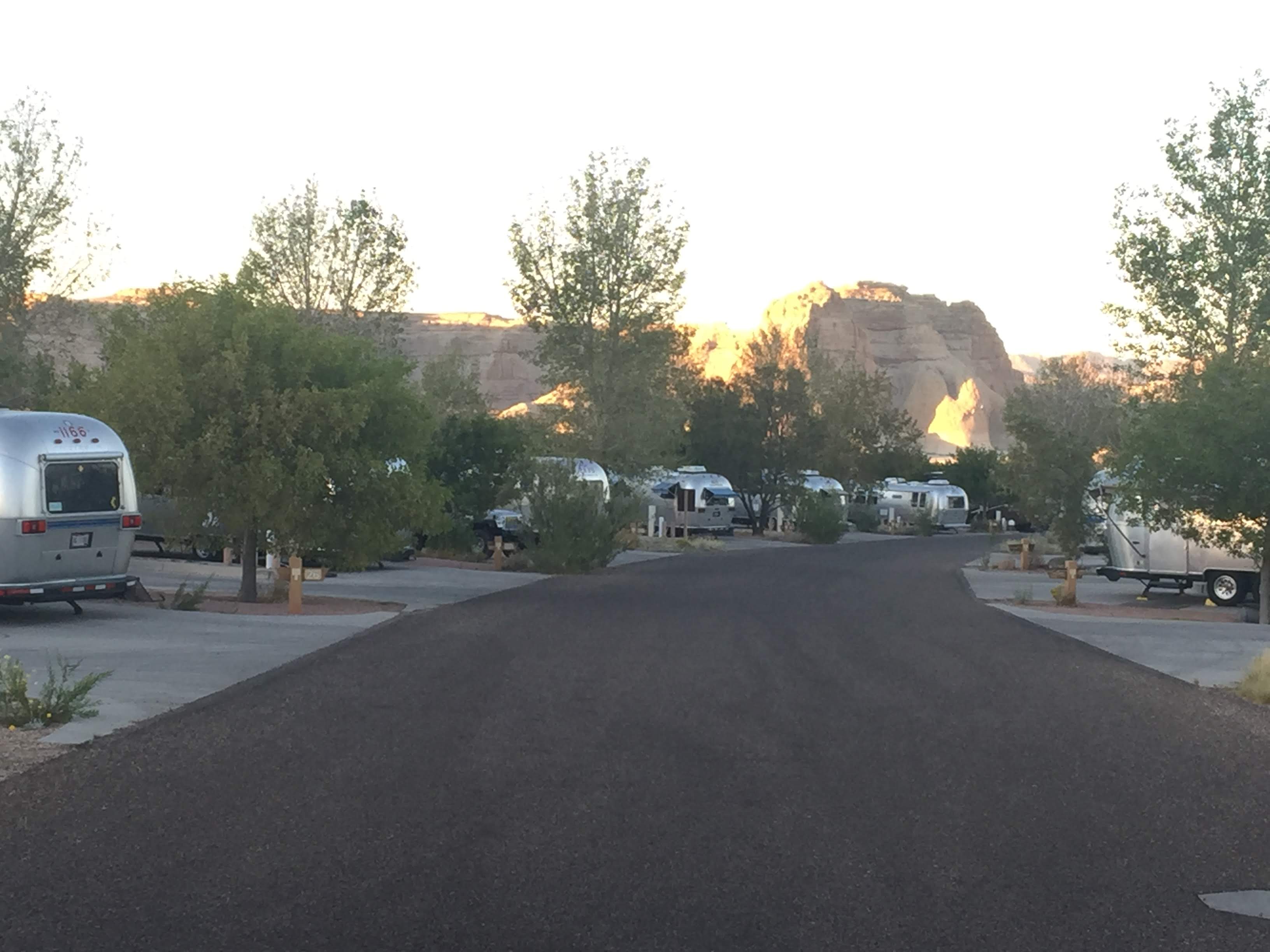
We set up the Villa in the park. We are “dry camping” here – no electricity, water, or sewer hook-ups. We are really roughing it! I set out the solar panels, and I hope we won’t have to bring out the generators…

We left the RV park to visit the Dinosaur National Monument Visitors Center and Quarry Exhibits.

We approached the Visitors Center. Quite a nice modern building…


Dinosaur National Monument is located on the southeast flank of the Uinta Mountains on the border between Colorado and Utah at the confluence of the Green and Yampa rivers. Although most of the monument area is in Colorado, the Dinosaur Quarry is located in Utah, north of the town of Jensen. The nearest Colorado town is Dinosaur, while the nearest cities in Utah are Naples and Vernal.
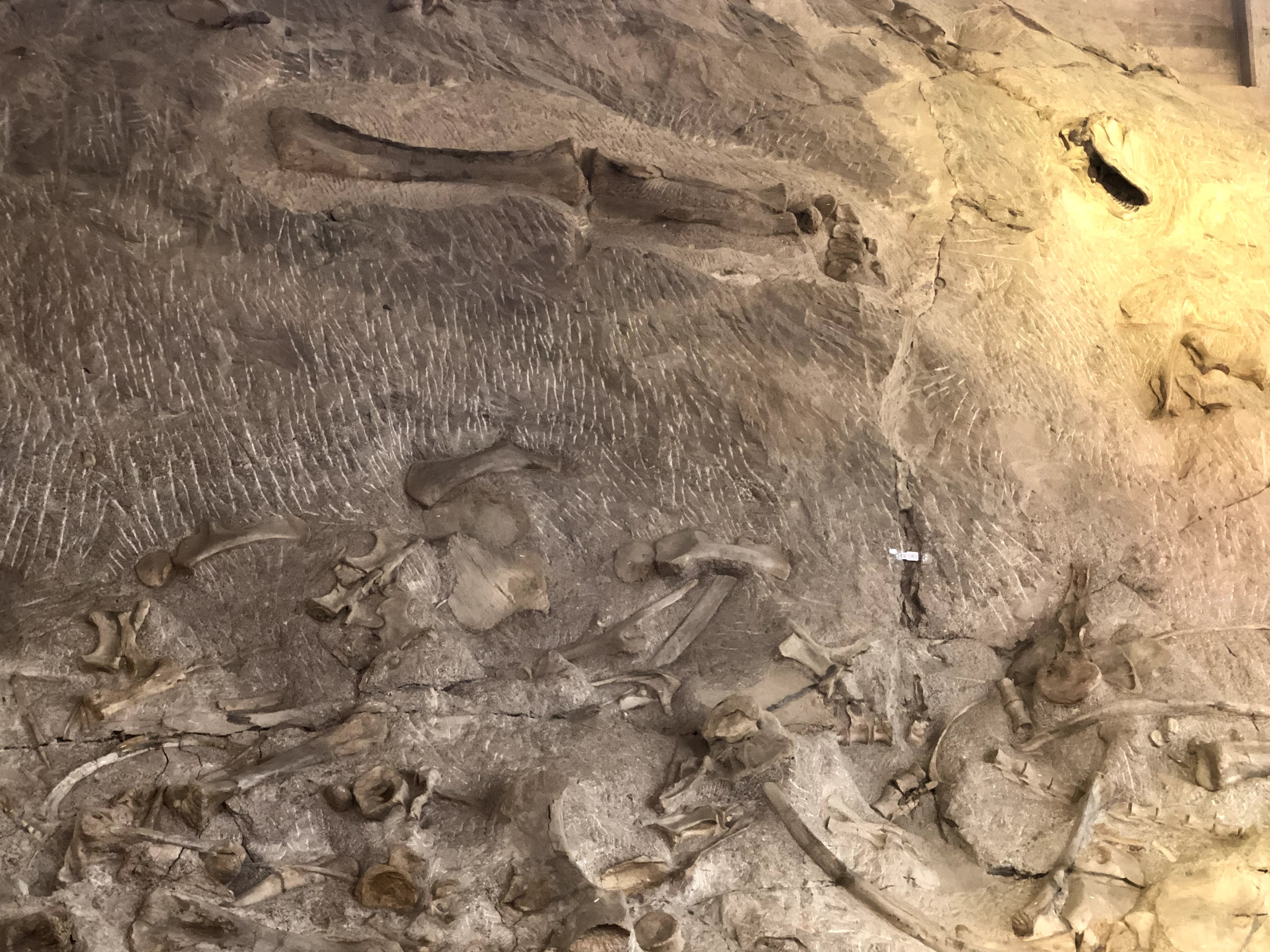
Originally preserved in 1915 to protect its famous Dinosaur Quarry, the monument was greatly expanded in 1938 to include its wealth of natural history. The park’s wild landscapes, topography, geology, paleontology, and history make it a unique resource for both science and recreation. The park contains over 800 paleontological sites and has fossils of dinosaurs including Allosaurus, Deinonychus, Abydosaurus, and various sauropods. The Abydosaurus fossil consists of a nearly complete skull, the lower jaw, and first four neck vertebrae.
Paleontologist Earl Douglass of the Carnegie Museum discovered eight vertebra of an Apatosaurus on August 17, 1909, which became the first dinosaur skeleton discovered and excavated at the new Carnegie Quarry. The area around the quarry was declared a national monument on October 4, 1915.
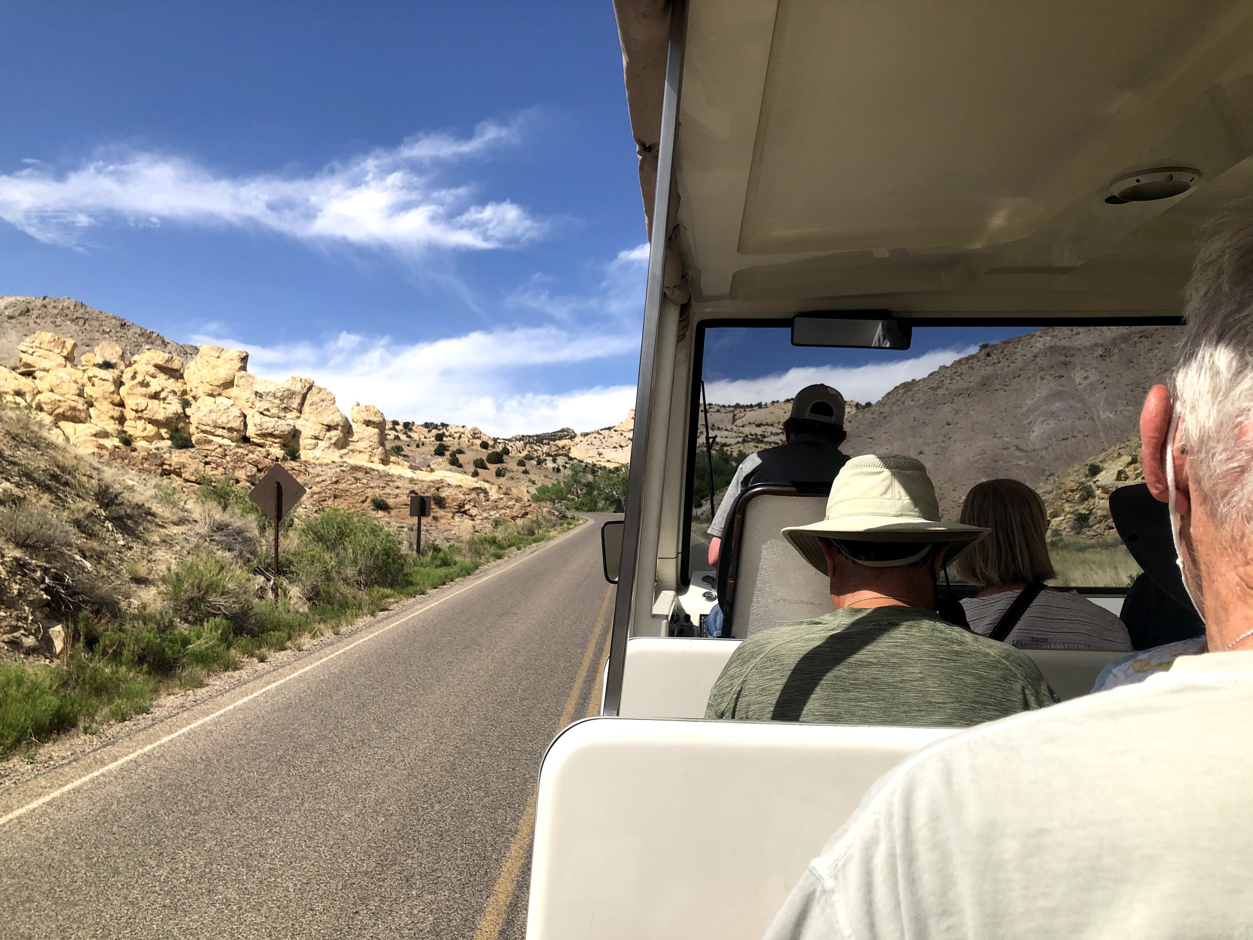
We took a shuttle from the Visitors Center up to the Quarry…

Again, I find the building much more interesting than dinosaur bones… I found this picture of the original building, erected in 1958. Unfortunately, due to the soils under the building and the seismic activity over the years, the original building was condemned in the 1990s, and totally reinforced and rebuilt. Note the difference between today’s building, above, and the original building, below…

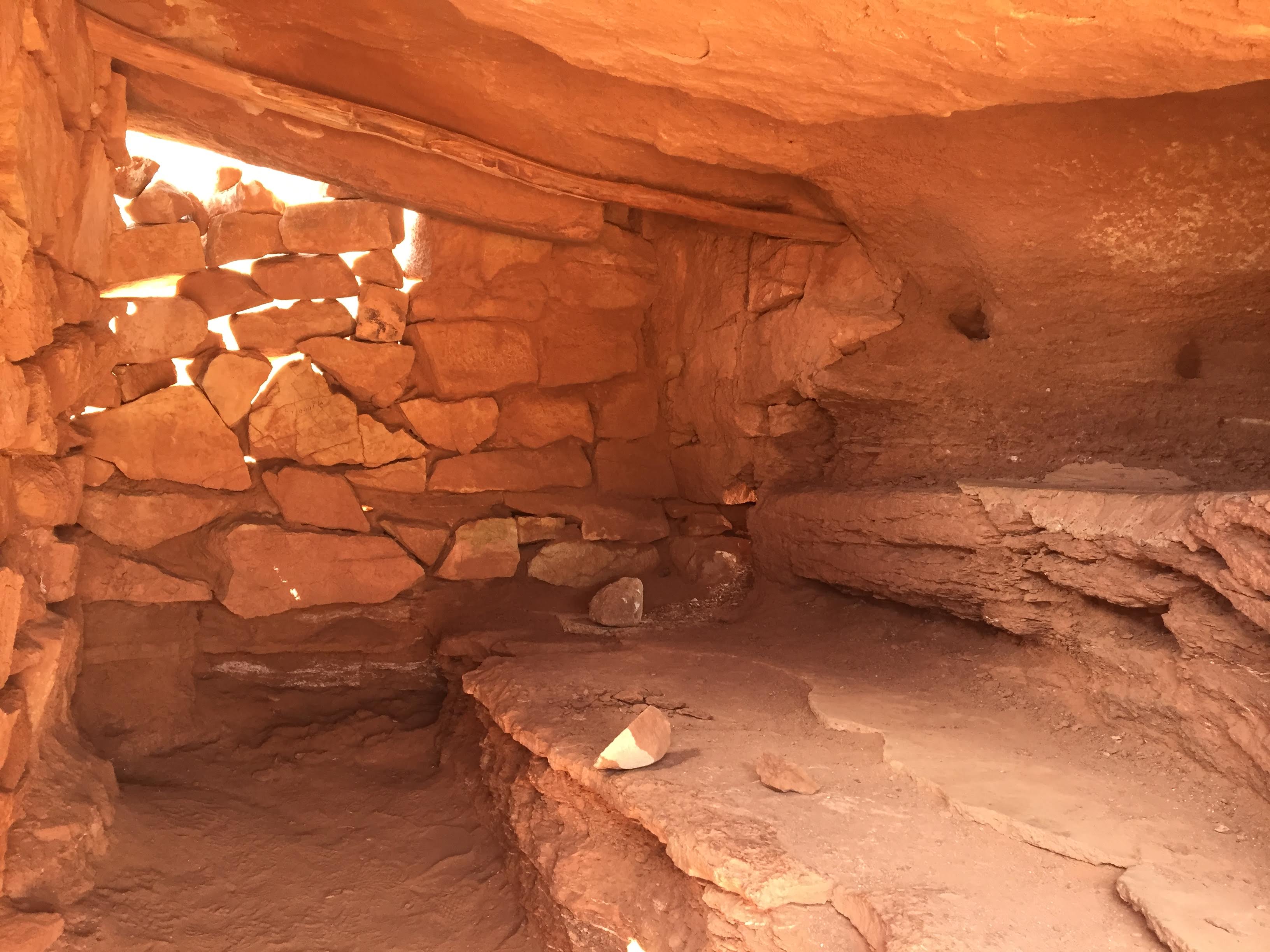
Inside is a giant, two level exhibit hall, allowing visitors to see the fossils and bones on display…


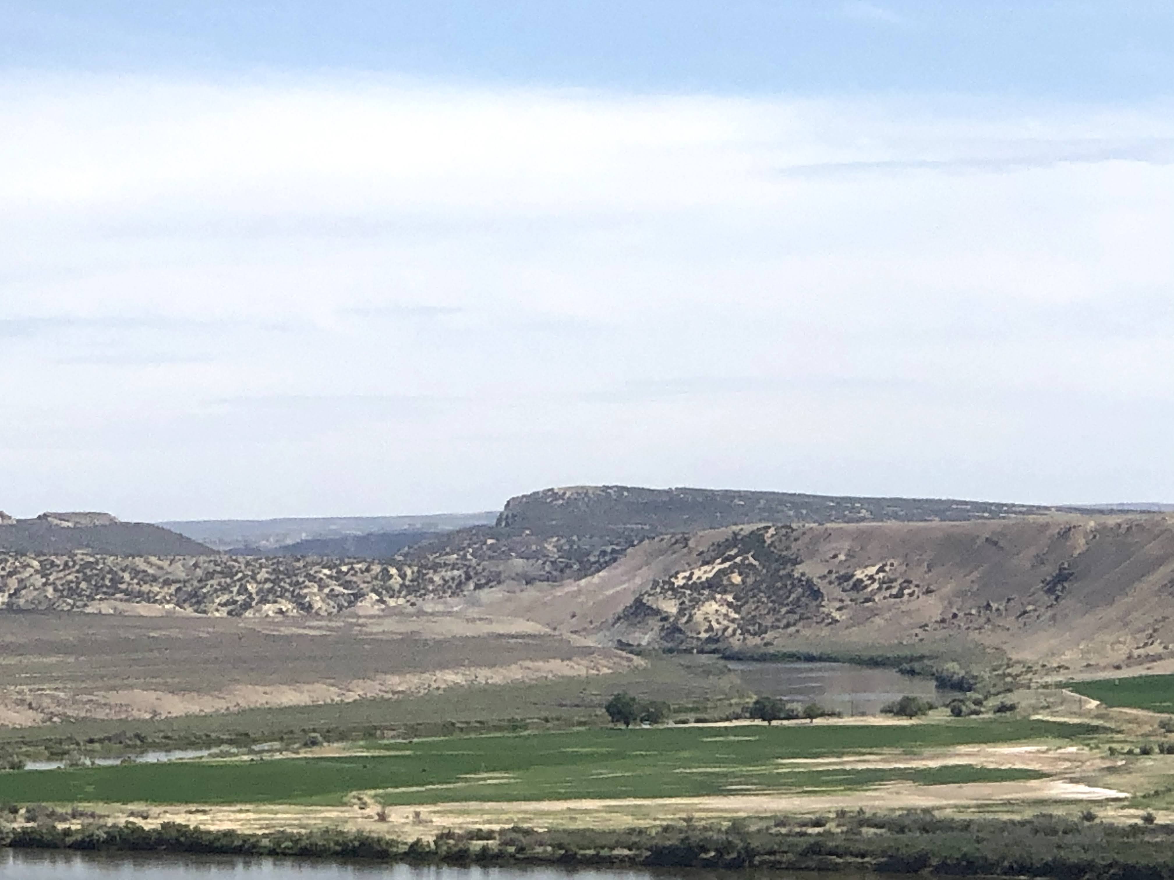
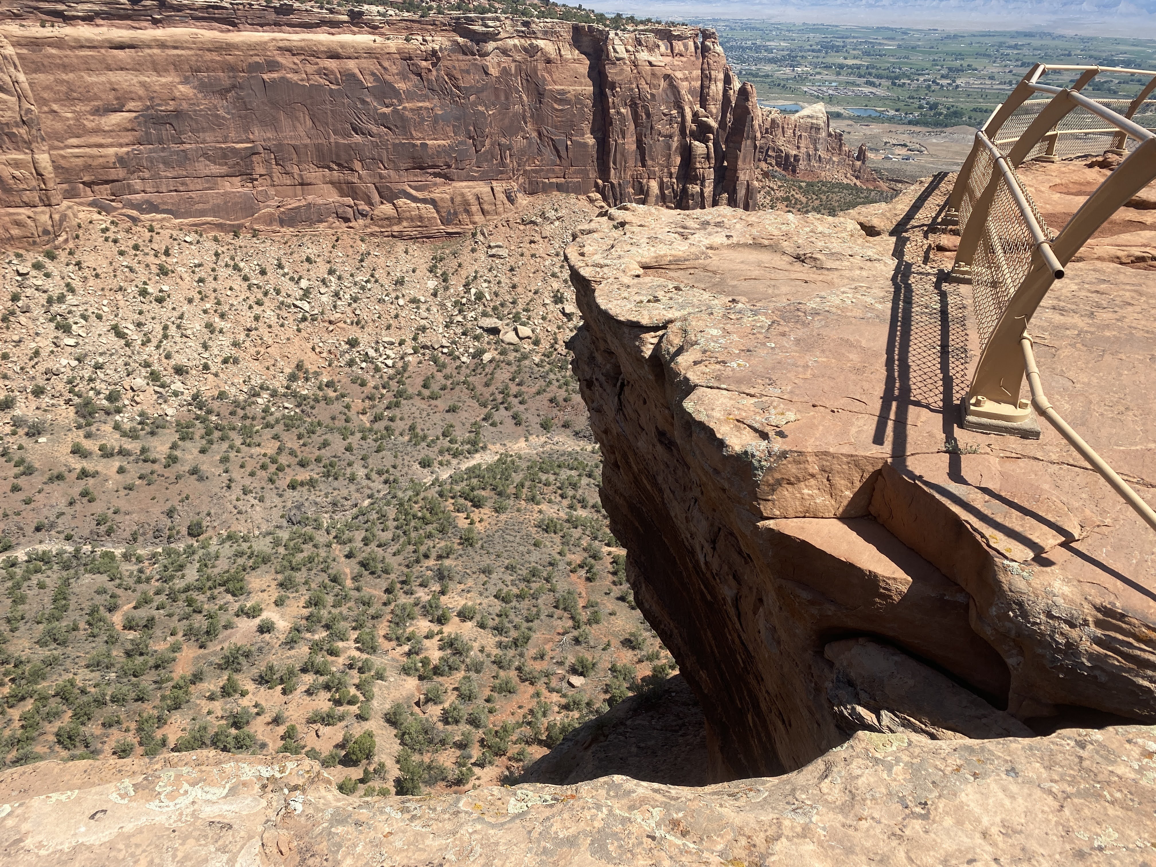
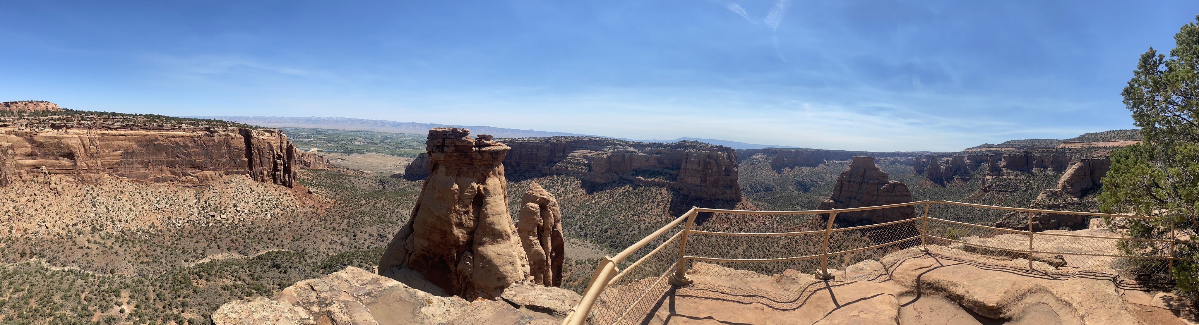
The views were great from the Quarry Exhibit… After we had had enough of bones and fossils, we returned to the Villa…

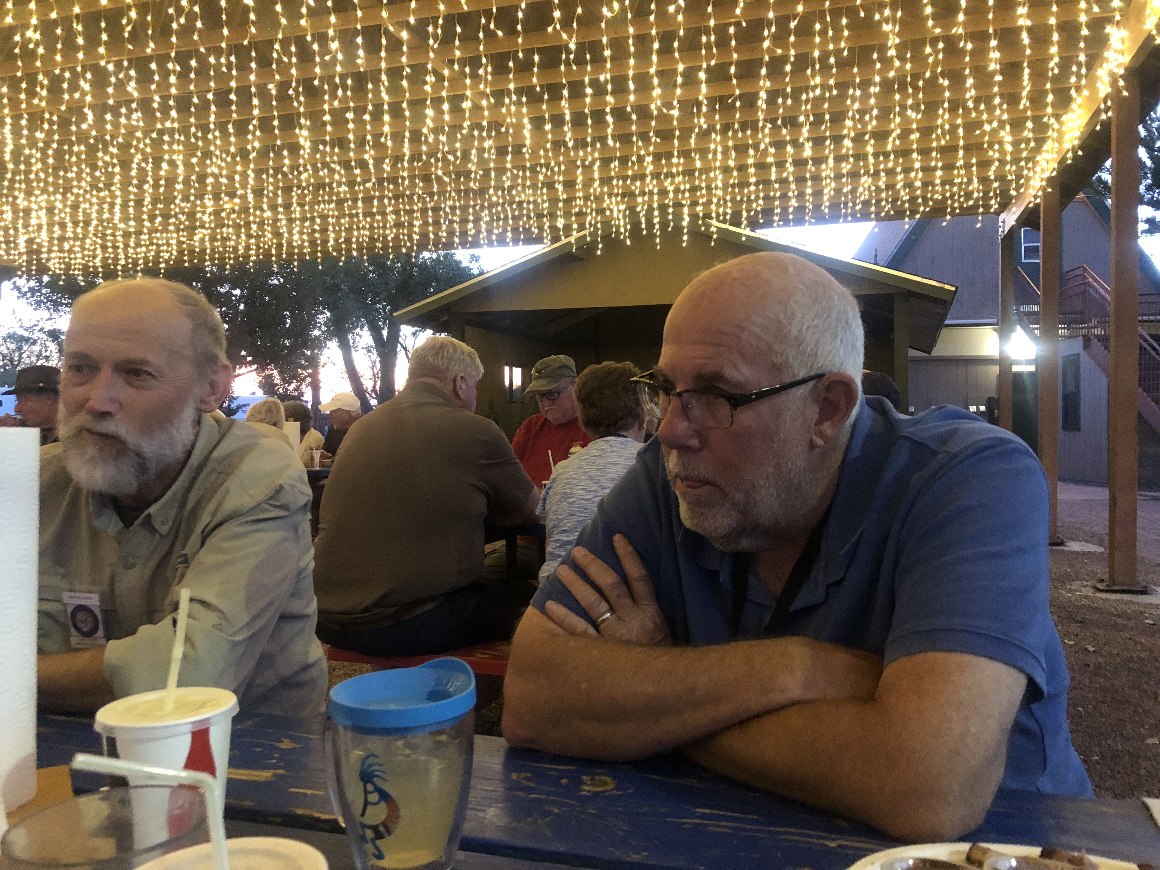
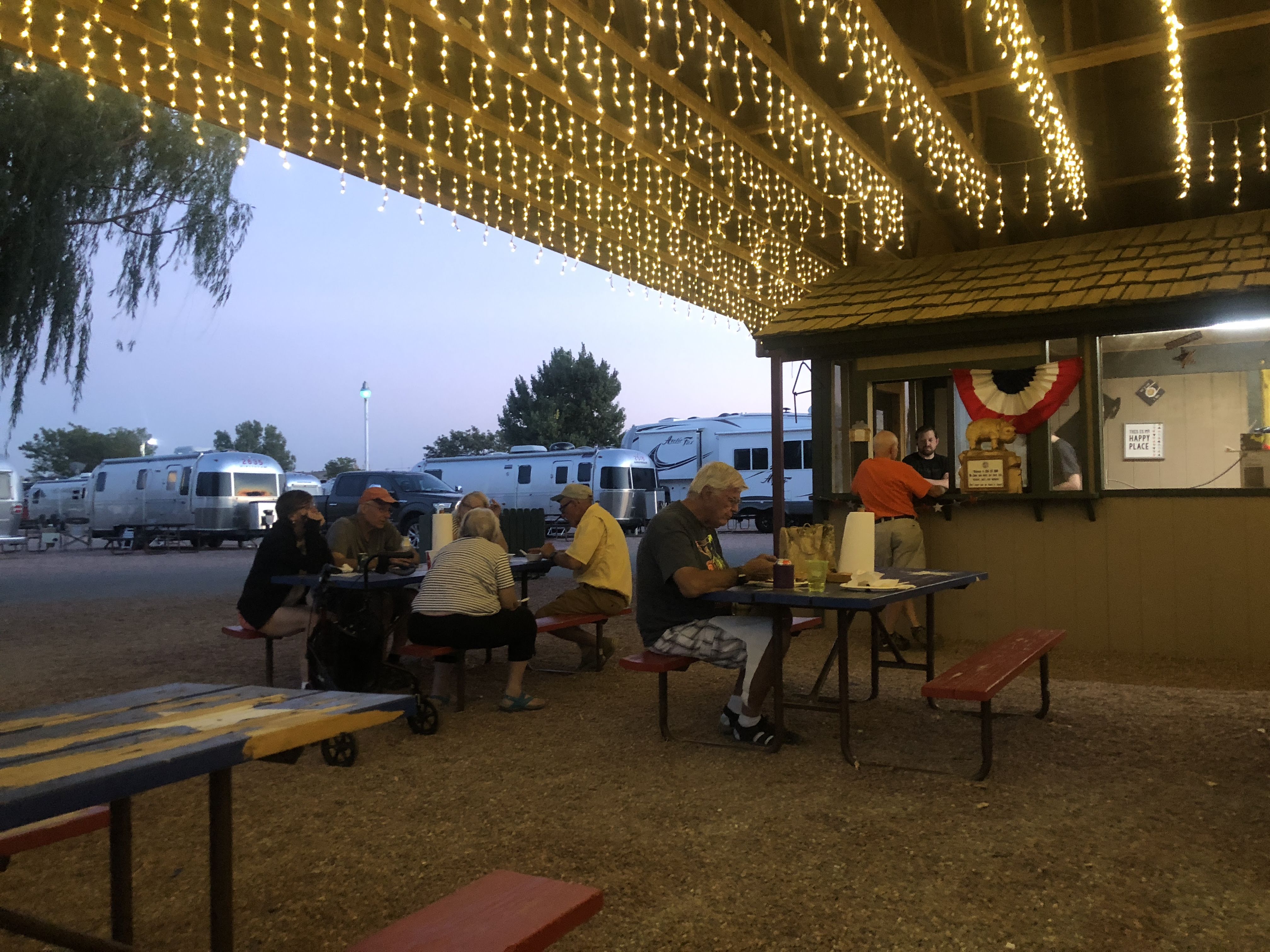
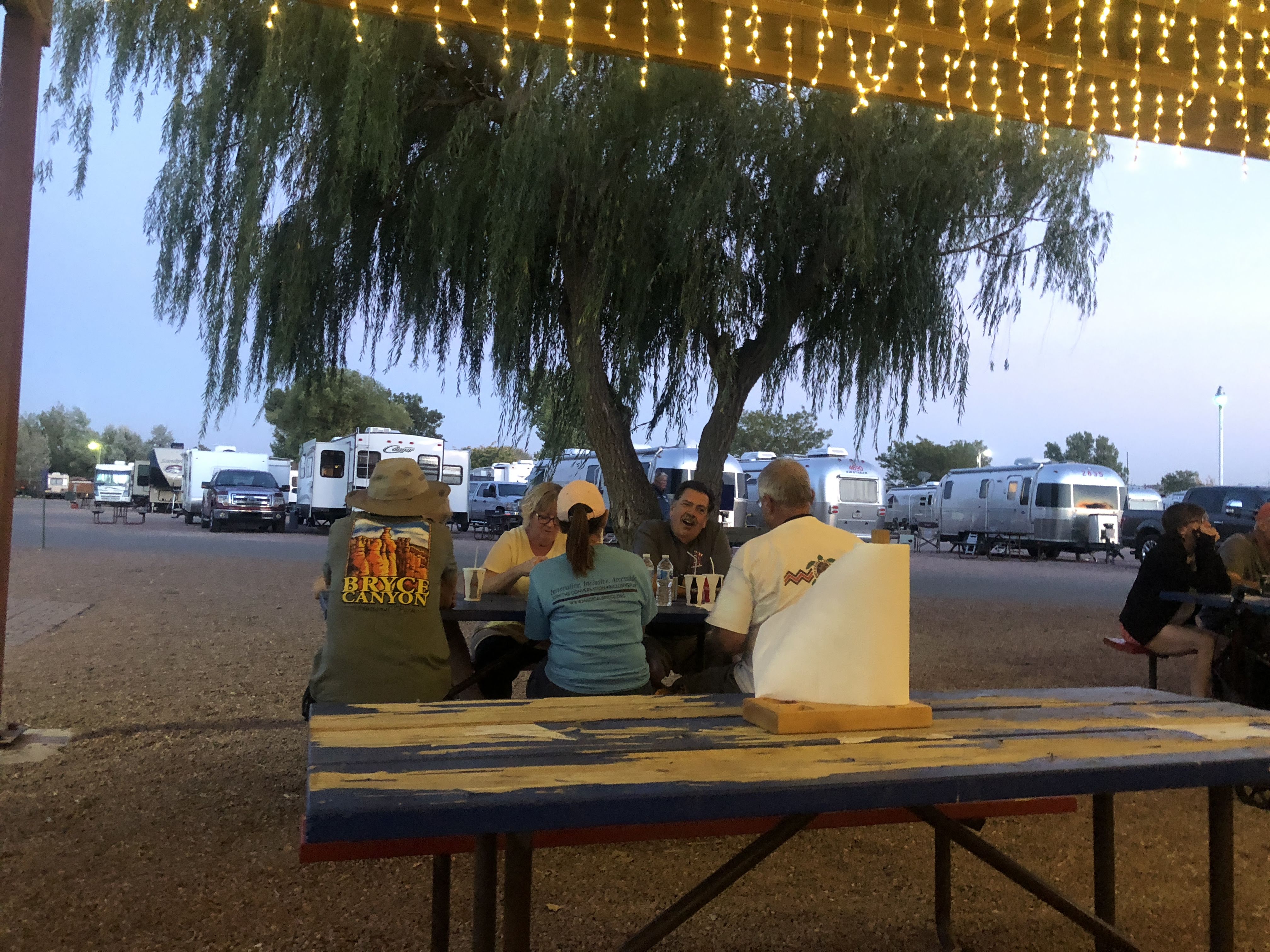
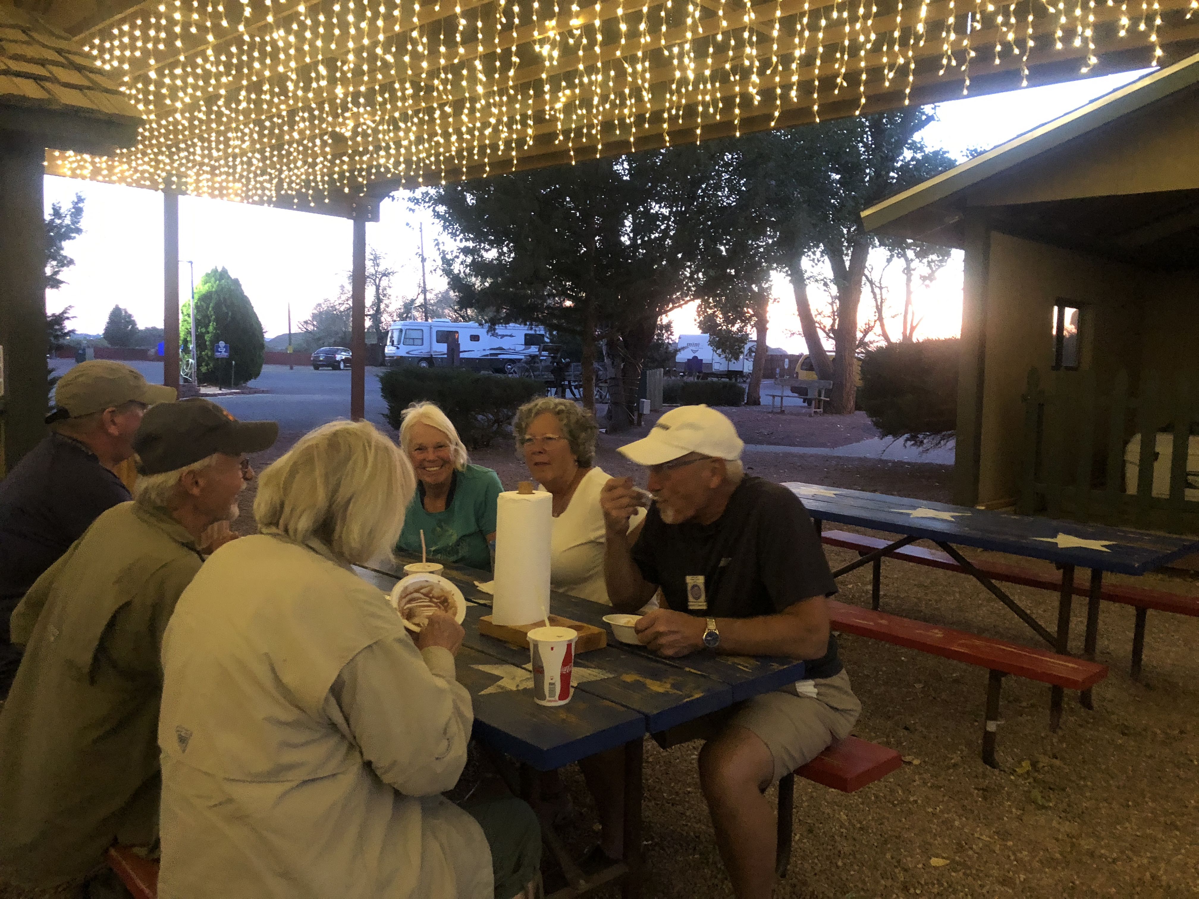
Happy Hours ensued, which turned into a weenie roast..
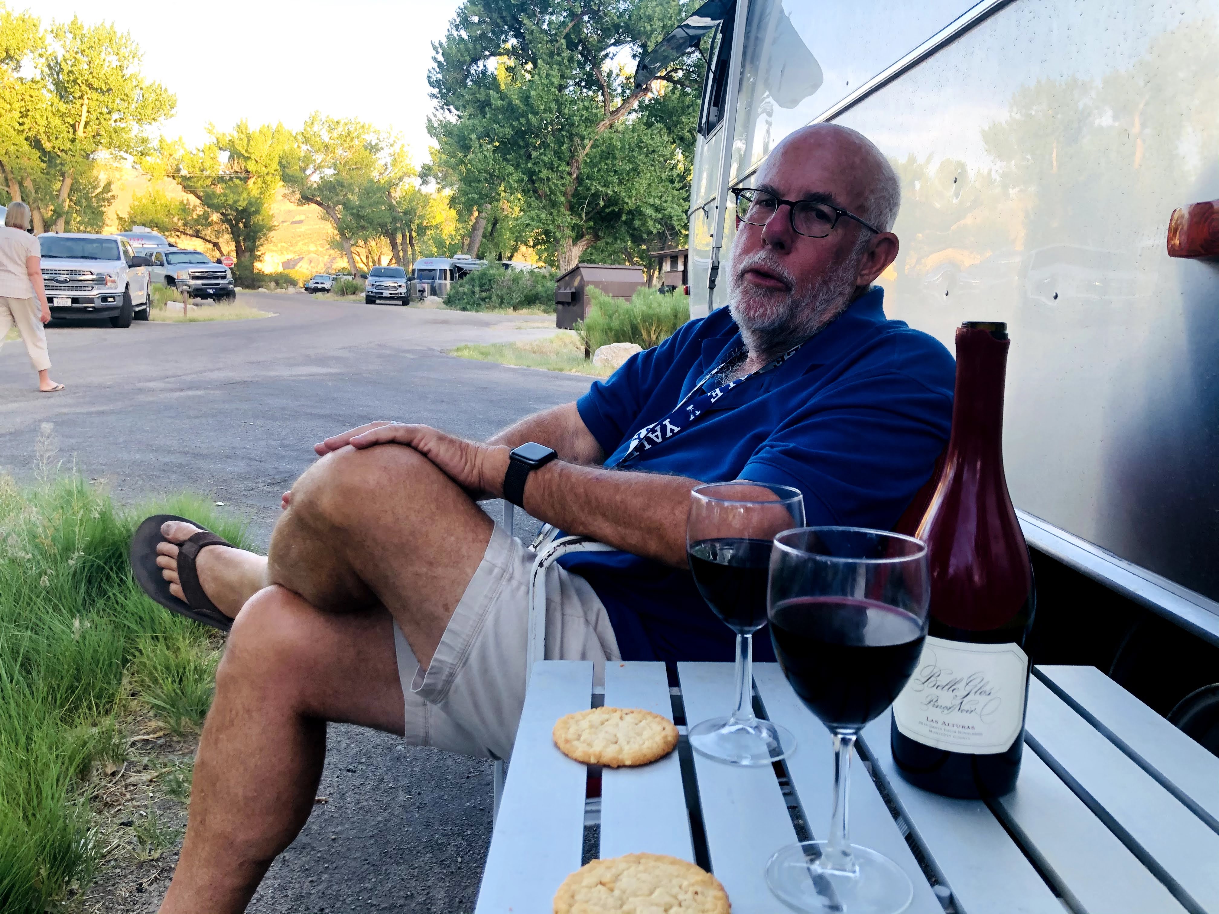
This is a typical thing on Airstream caravans – social get-togethers to share ice cream, birthday cake, or, in this case, a weenie roast…
We have cooking crew volunteers to set these things up…
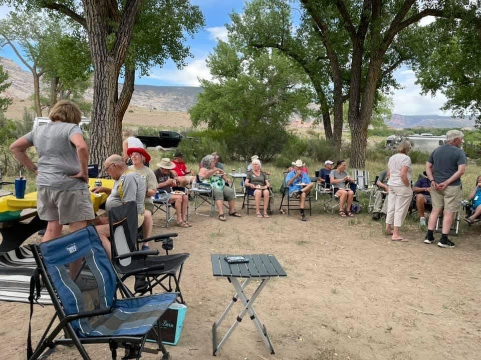
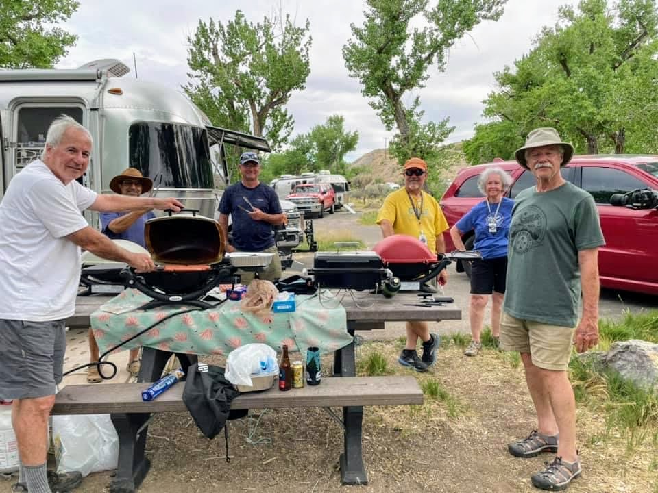

And an enjoyable time was had by all…

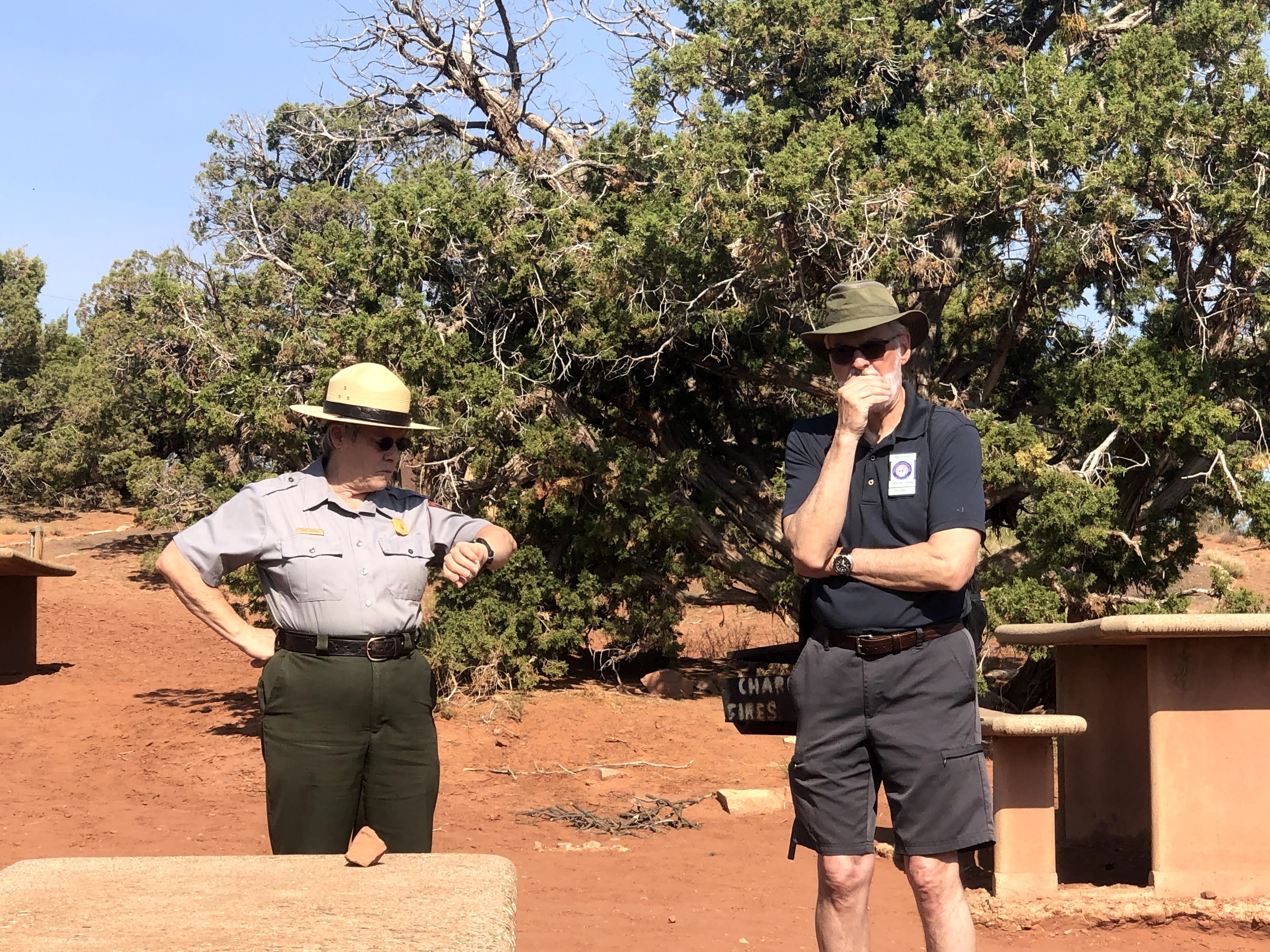
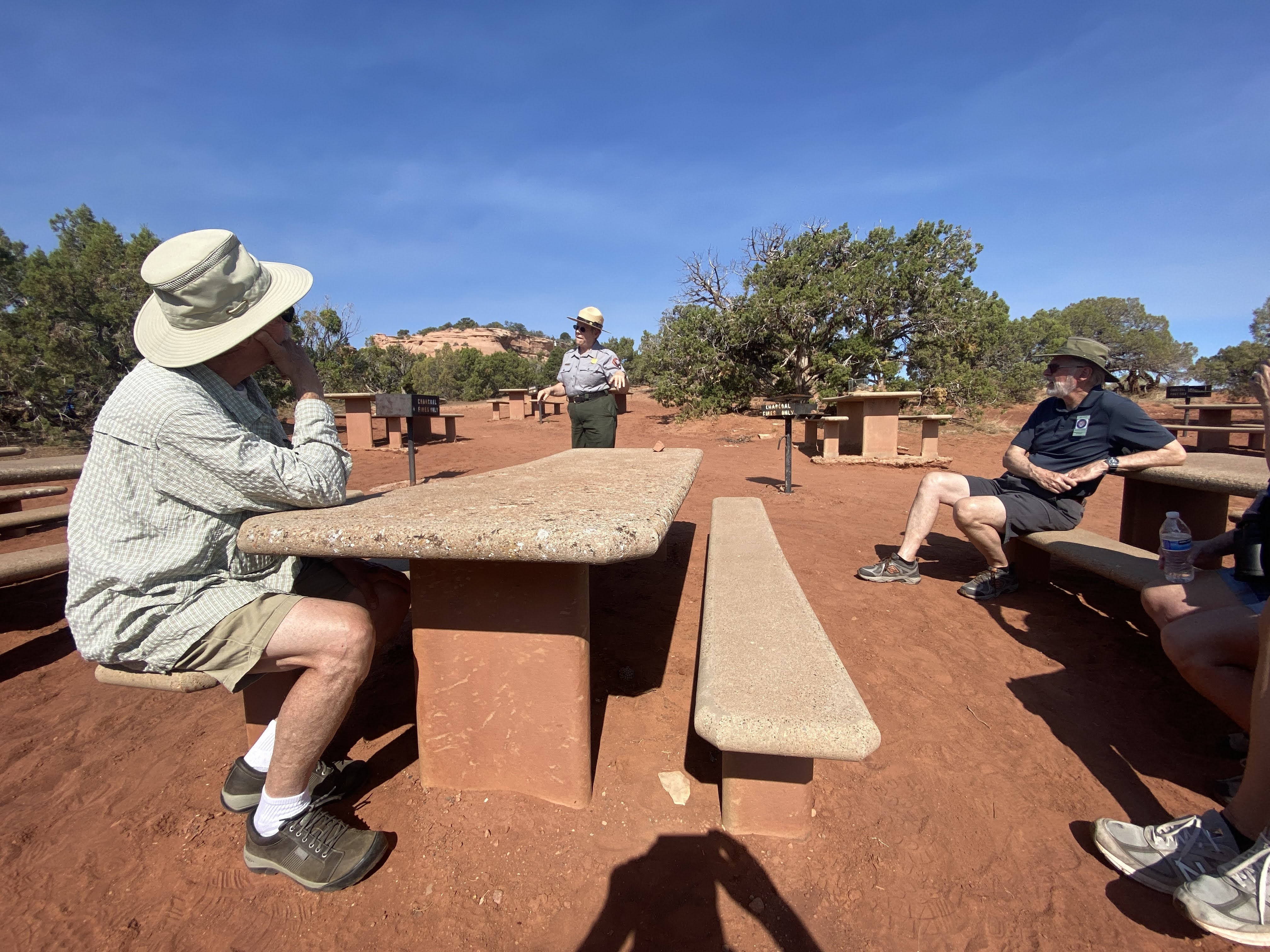


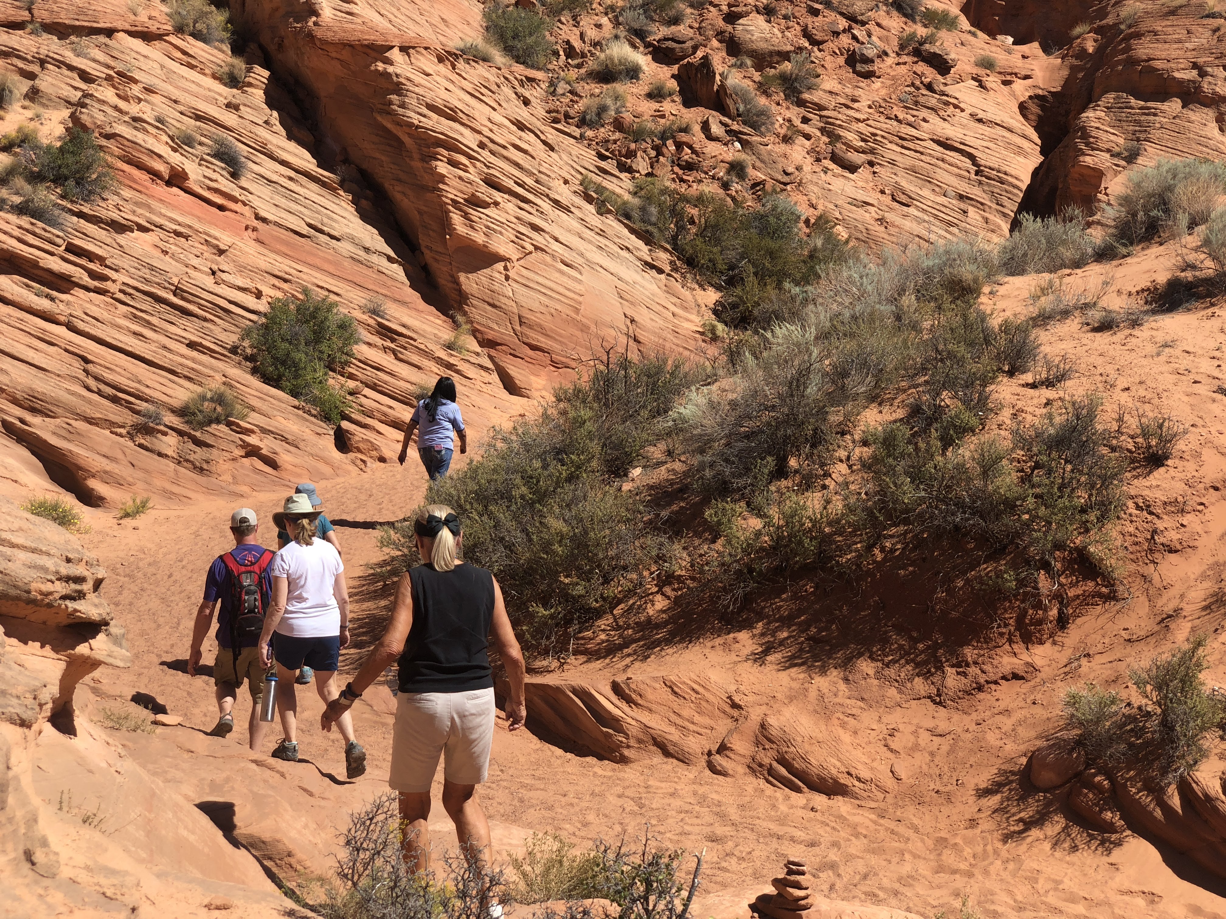


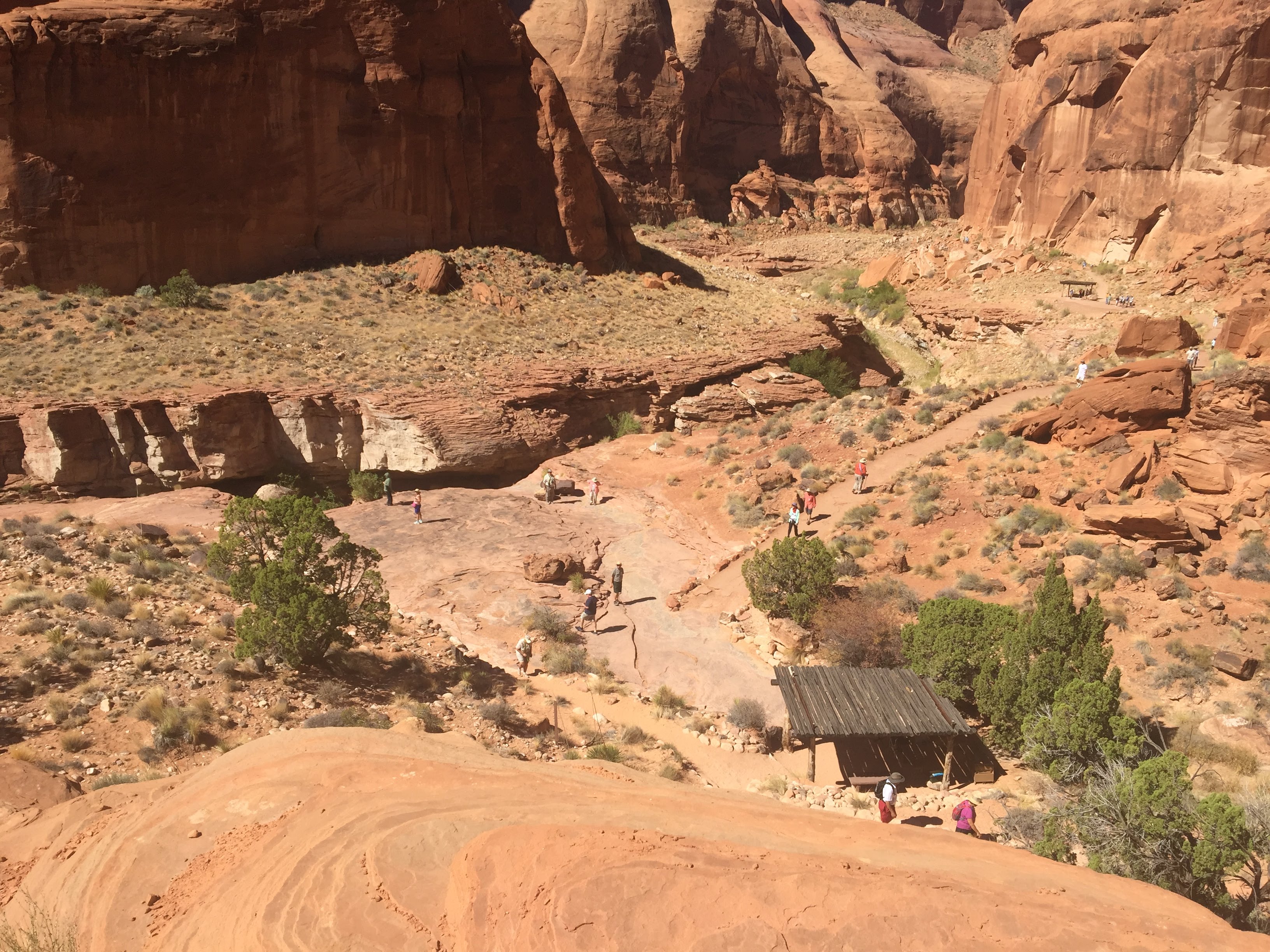


 We stopped at one point to stretch our legs and hike up a short distance to see some petroglyphs…